bobspirko.ca | Home | Canada Trips | US Trips | Hiking | Snowshoeing | MAP | About
Mount Chester
Kananaskis, Alberta
August 24, 2013
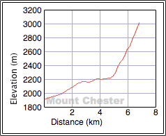
Distance: 13.6 km (8.5 mi)
Cumulative Elevation Gain: 1129 m (3704 ft)
How fallible one's memory is when no trip record is kept. When Dinah and I climbed Mount Chester 12 years ago we took no photos of our route, just scenery shots. In trying to recall that trip, we came up blank: we remembered nothing. Redoing it was like seeing it for the first time.
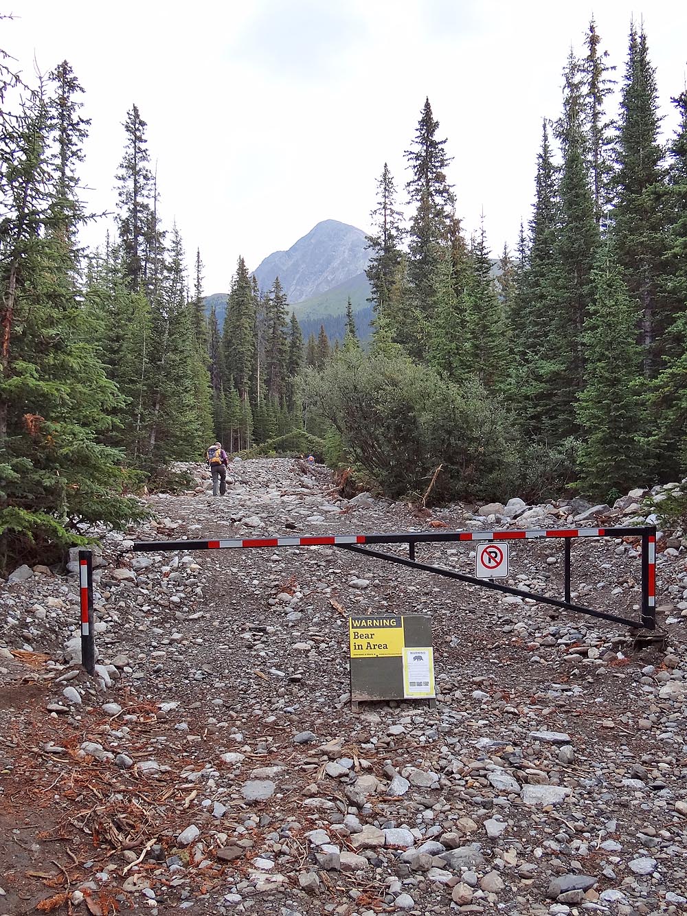
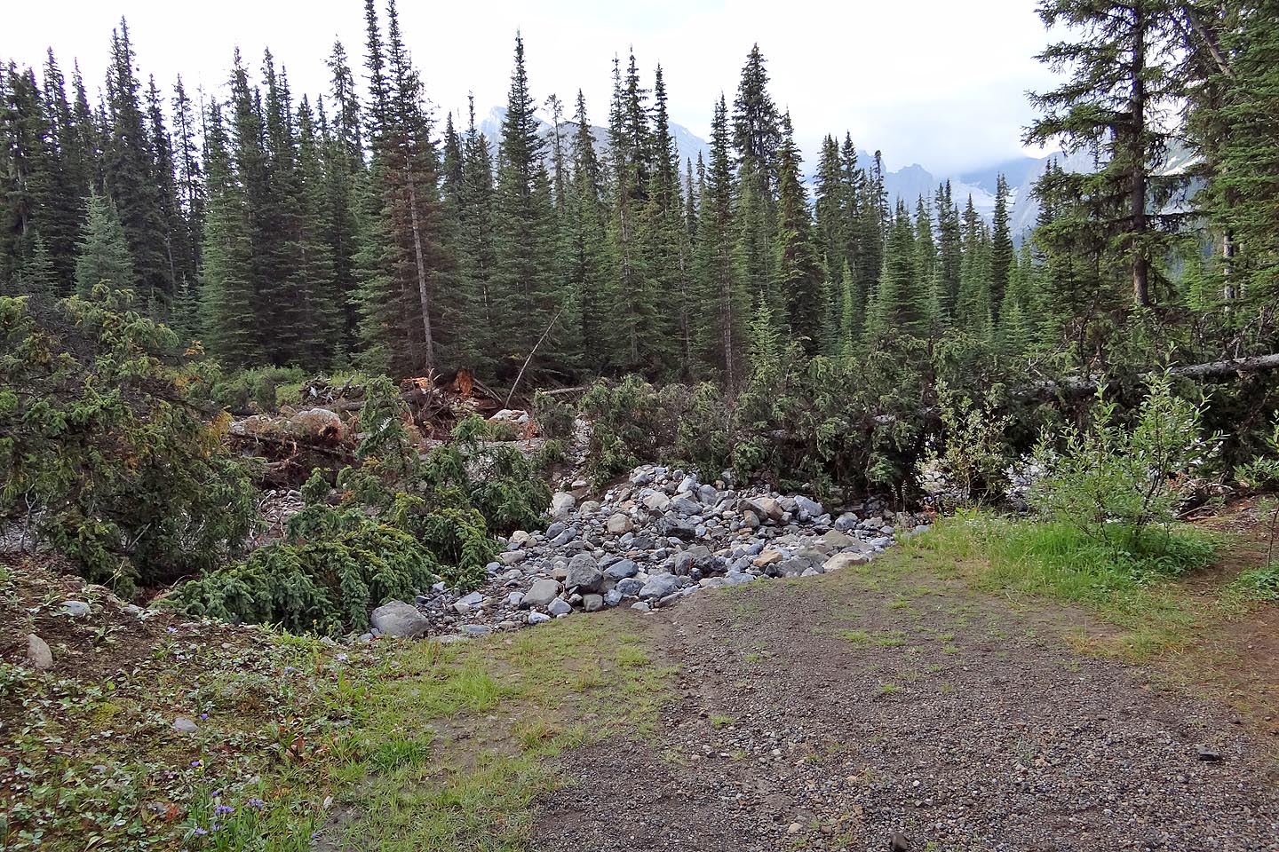
We set off for the usual route: Chester Lake to the gully, gully to the saddle, and saddle to the summit. At the trailhead, we found that the first 200 m of the logging road had been washed out. The June flood had toppled trees and carried rocks down, and now a rough path meanders through the mess. Past that, we saw no sign of destruction and followed the road 2 km to the bike racks (although I can't imagine anyone wanting to push their bike through the washout at the start). After the racks, the path narrows to a single track to the lake.
At the end of the lake, we followed a side trail across a creek. The trail pushes on almost to the ascent gully before vanishing. Although it's possible to head directly to the gully, it seemed more practical to climb the grassy slopes on our left before turning toward the gully. When we came to a spot where we could descend to the gully on our right or keep left and climb the steep, grassy slopes, we waffled. Slogging up the black scree held little attraction, but we didn't know if we could climb the slope and reach the gully higher up. Our curiosity and optimism got the better of us, however, and we took the slope. Later we learned steep slabs line the left side of the gully all the way to the saddle making any crossover impossible. Gully or slope, one is committed after 218295.
The slope proved to be more difficult than we expected, more difficult in fact than the rest of our ascent. The terrain is steep and rife with vertical rifts. We encountered routefinding challenges as well as mild exposure; I don't recommend it. It's undoubtedly easier and quicker to ascend the gully (our posted GPX track is our descent which used the gully).
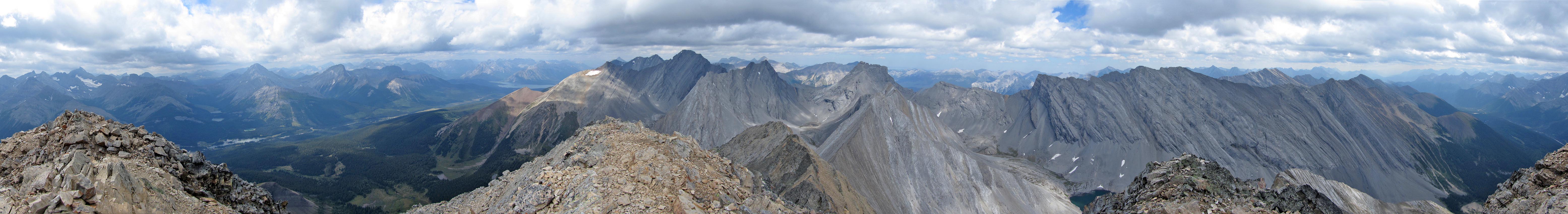
The scramble from the saddle to the summit was straightforward and fun. Most any line up the broad slope could be taken as all converge at the base of the summit bump. Minutes later, we stood on top of Mount Chester. Unfortunately clouds and haze dulled the alpine scenery. Disappointing especially since the forecast had called for sunshine. But Mother Nature never pays heed to the weatherman.
We made our way back down to the saddle and then down the gully. Except for skidding on a couple of hard-pack spots, the descent was easy. We left the gully just past the end of the slab and headed back to Chester Lake trail. The easy trail gave us a chance to reflect on the day's trip. We saw and experienced much on Mount Chester, and we wondered how we could have forgotten it all 12 years ago.
Starting up the trail
Looking back at the first section: the road is washed out but a rough trail is in place
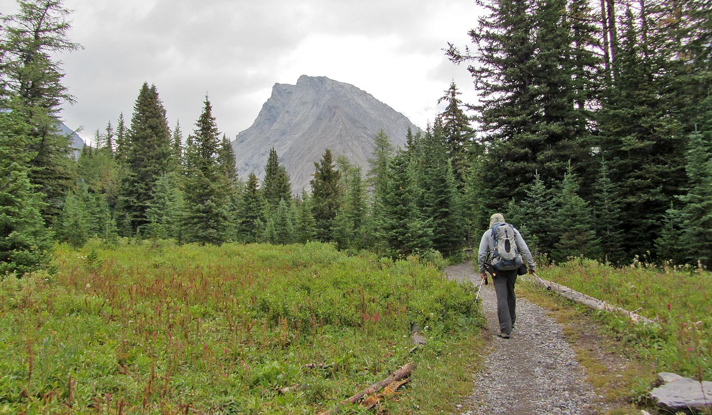
Mount Chester ahead
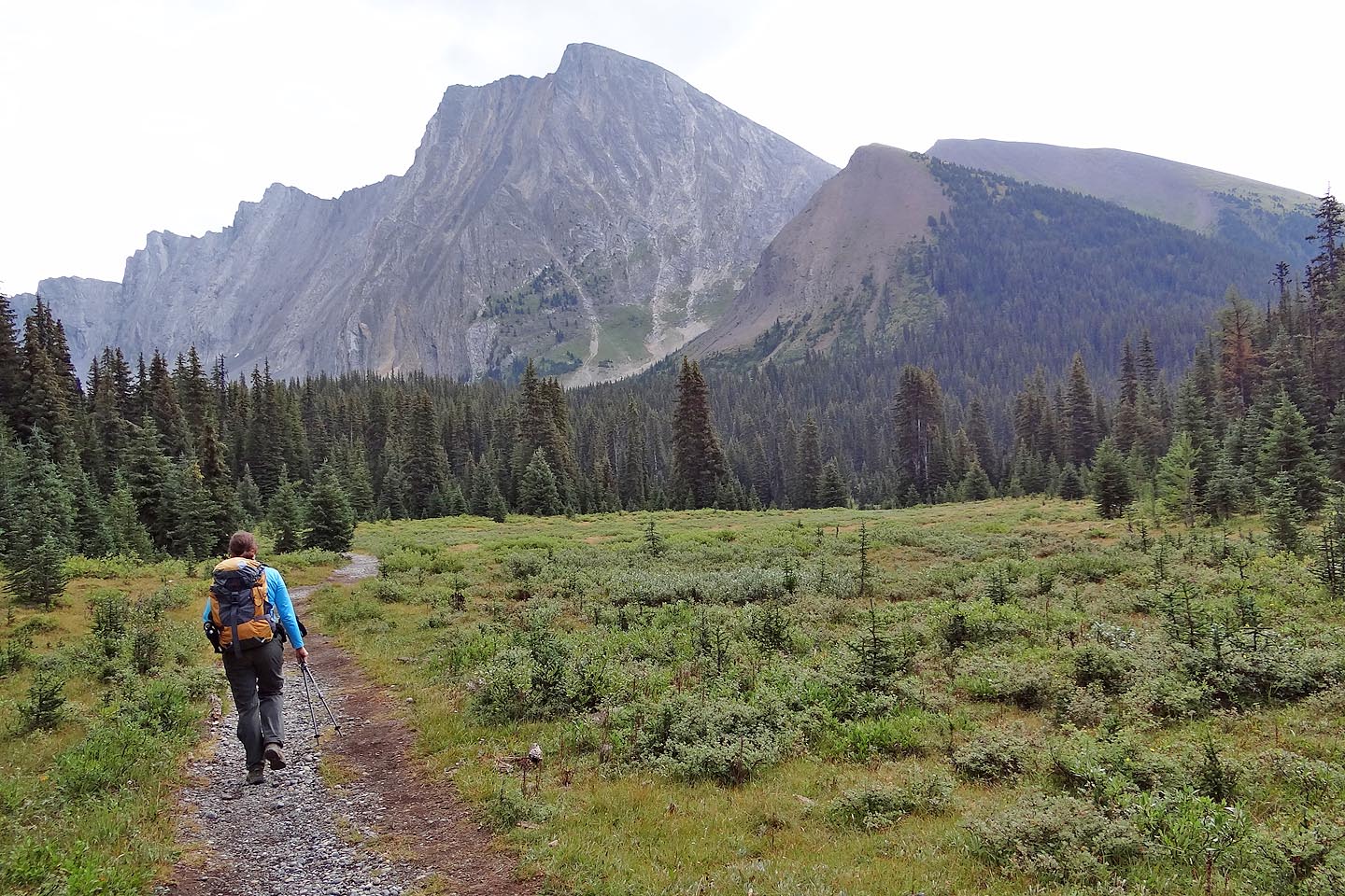
Entering the meadow where we'll soon cross the stream
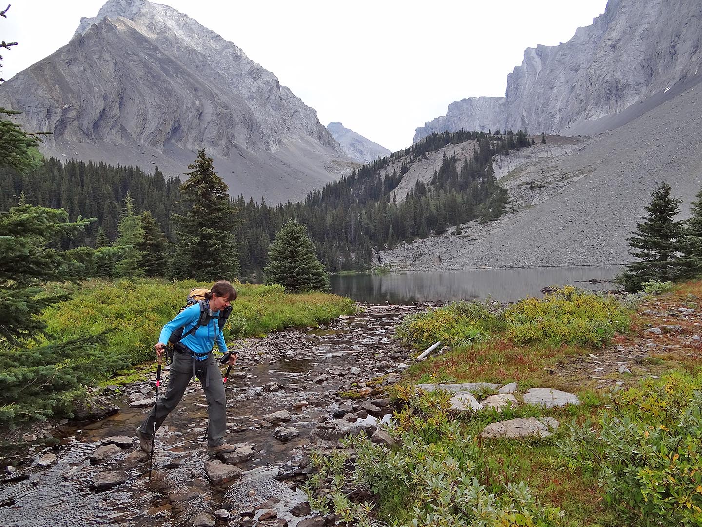
Crossing the stream by Chester Lake
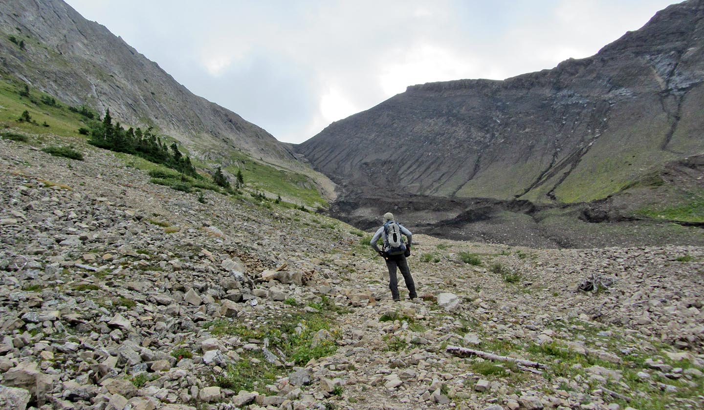
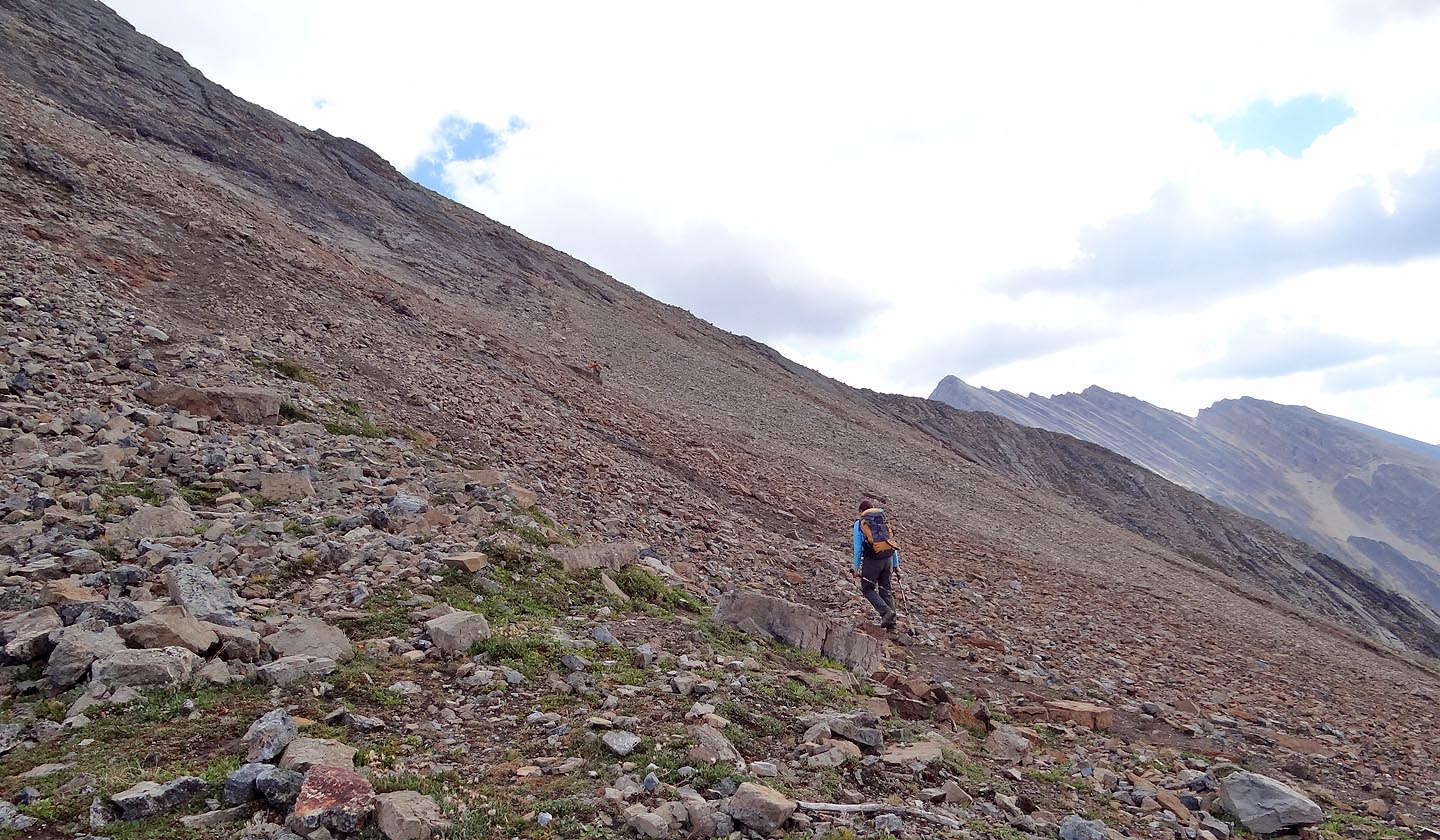
The trail will soon disappear, and we'll head up the grassy left slope
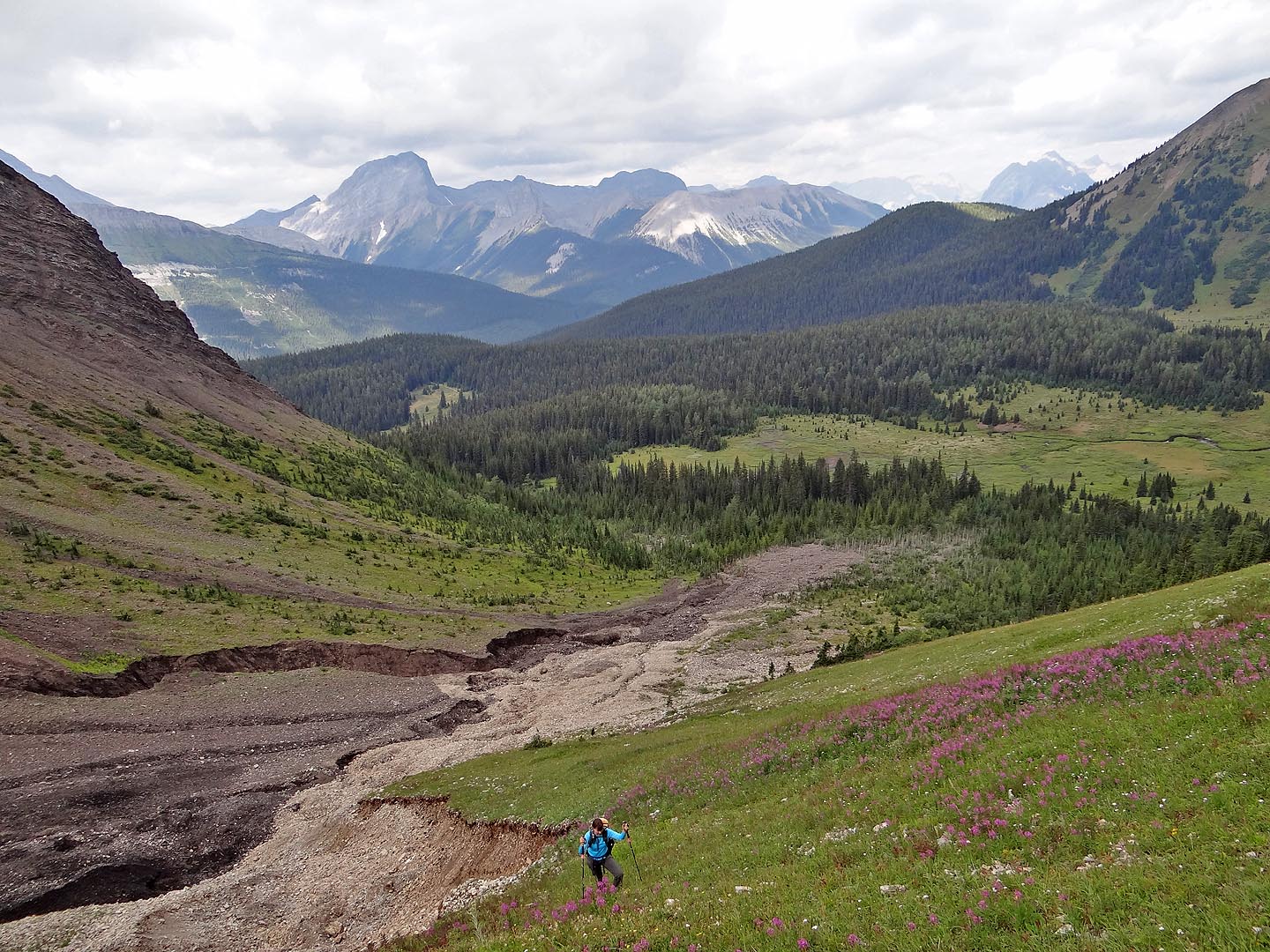
Looking back after we start climbing
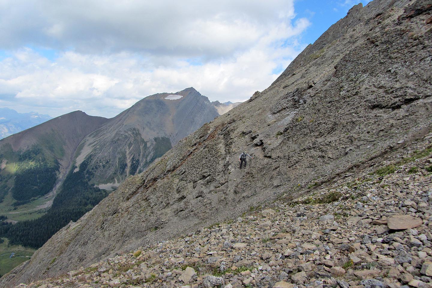
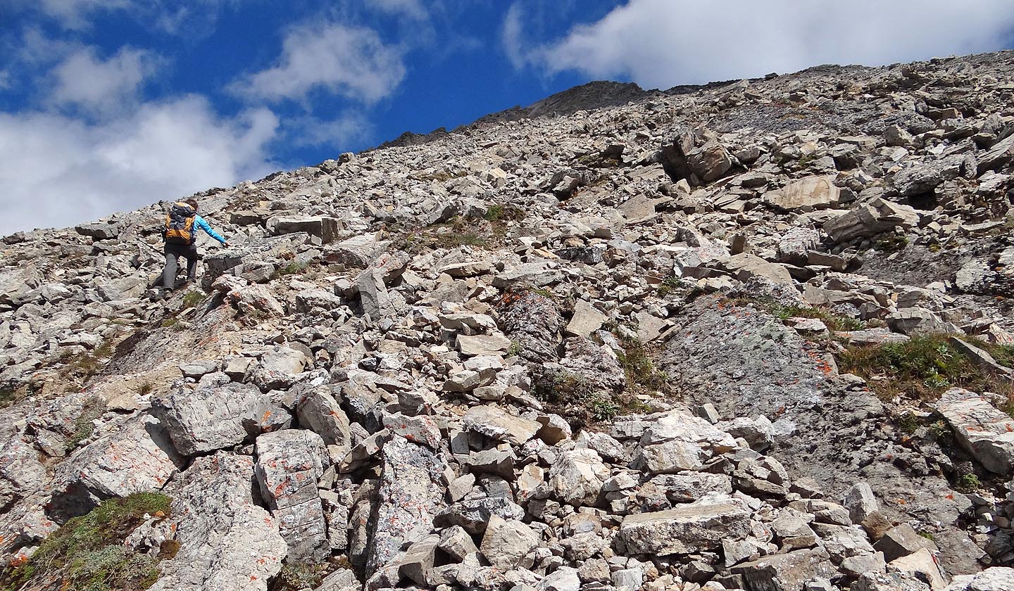
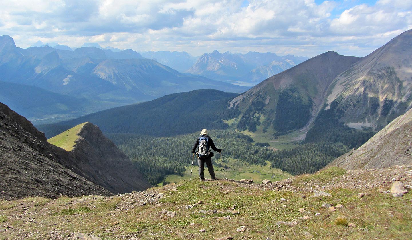
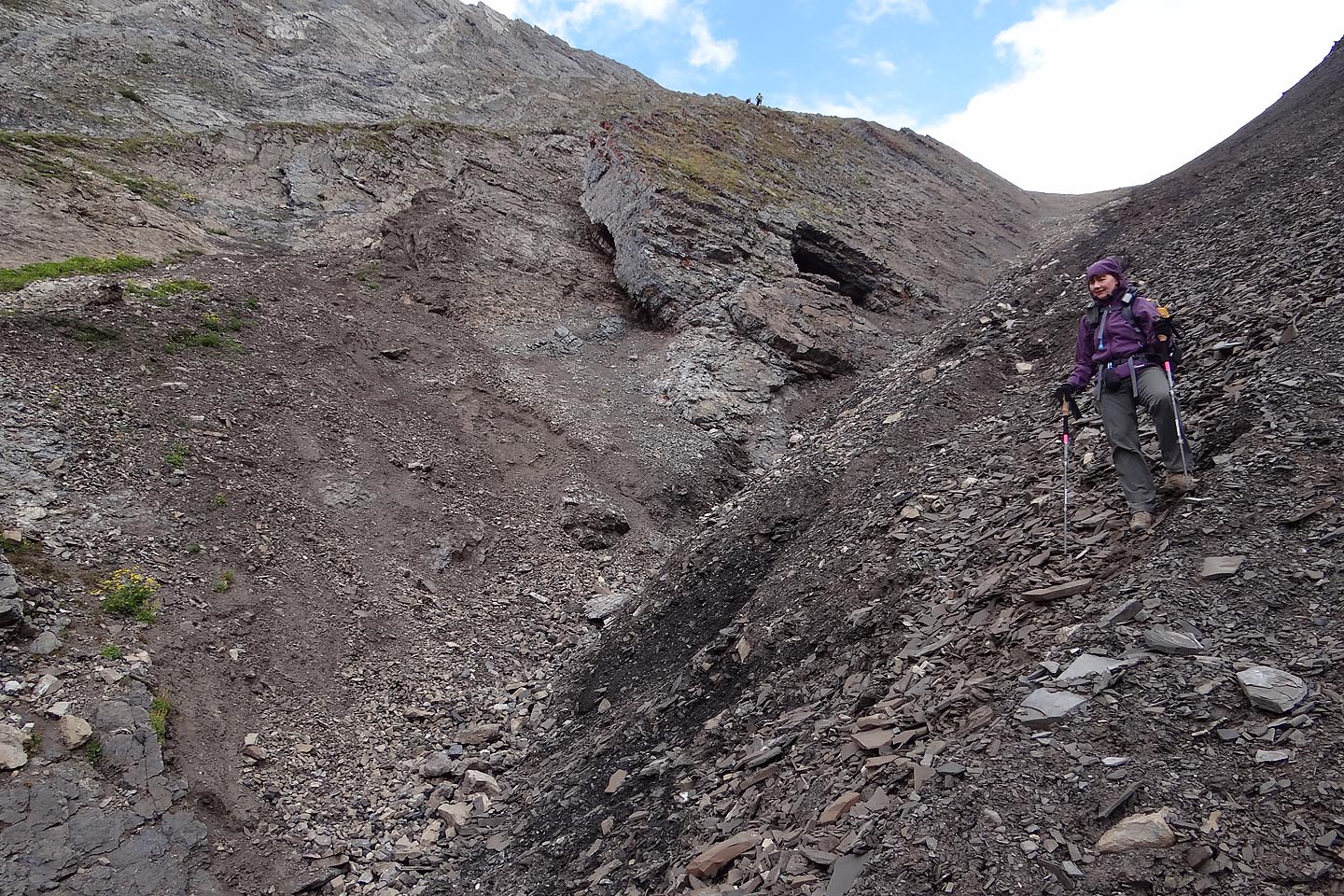
Following the curve of the grassy slope, we'll swing right and reach the gully
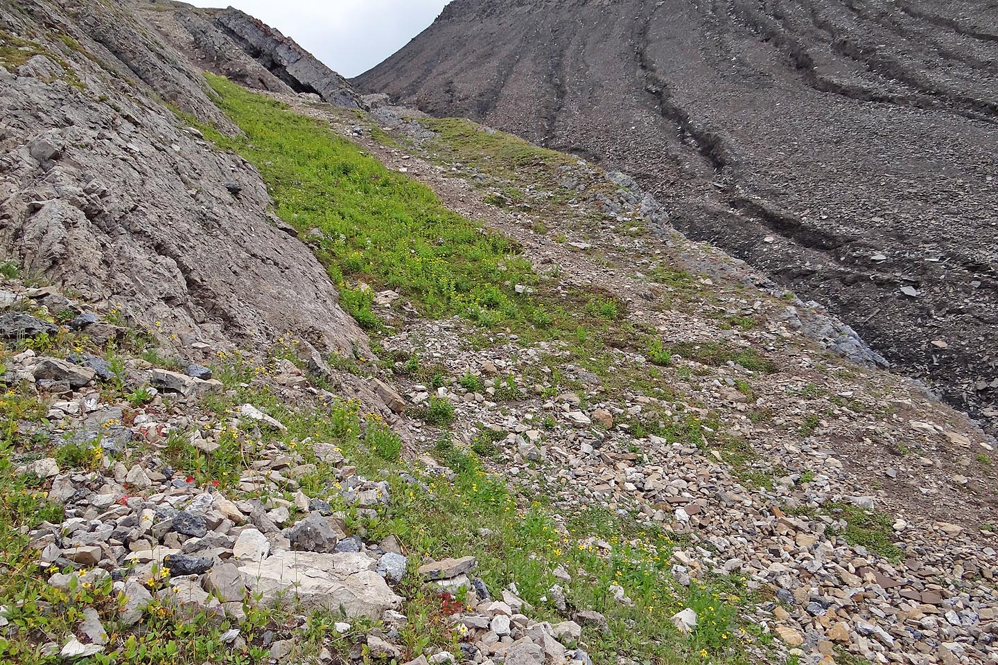
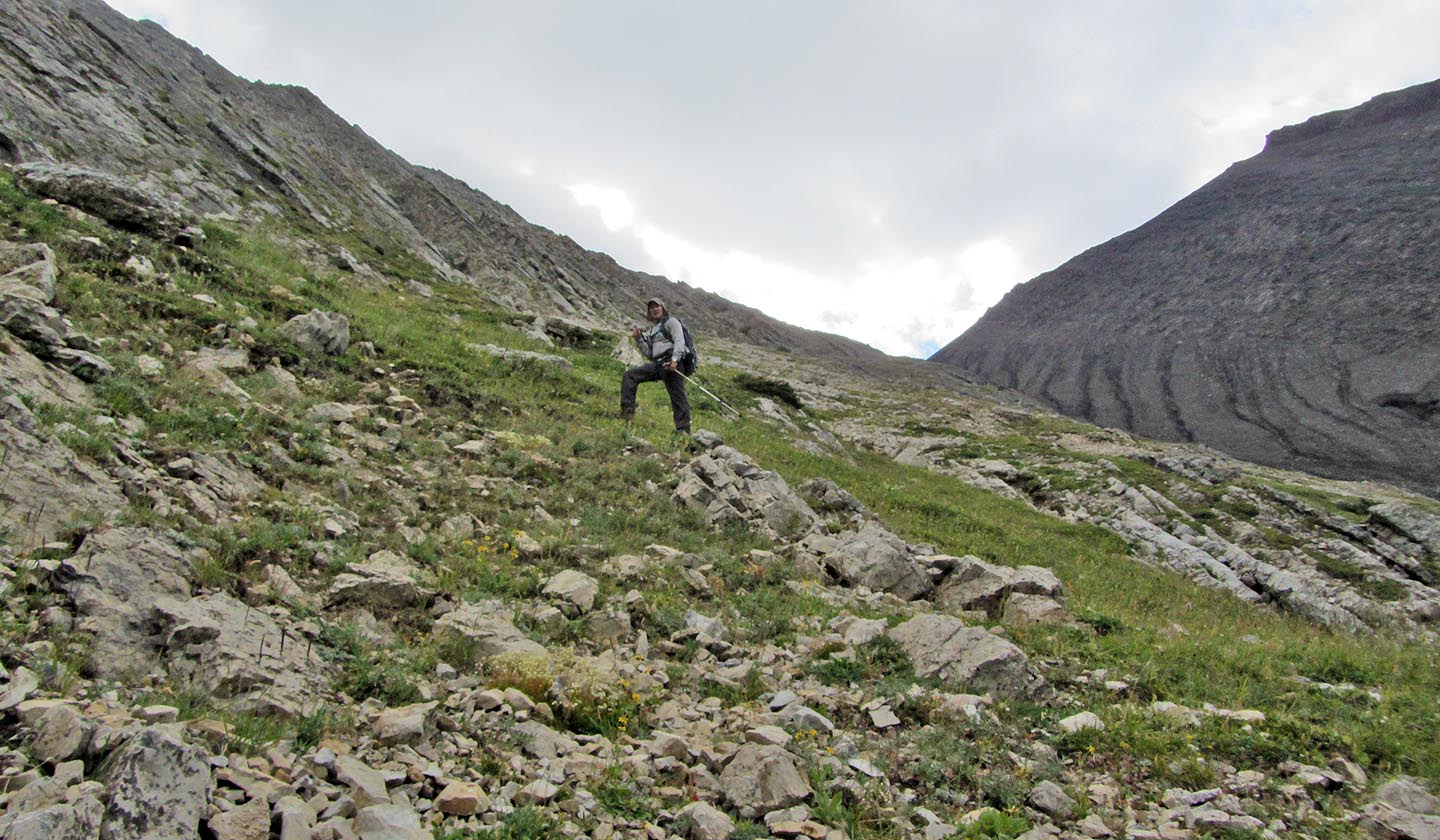
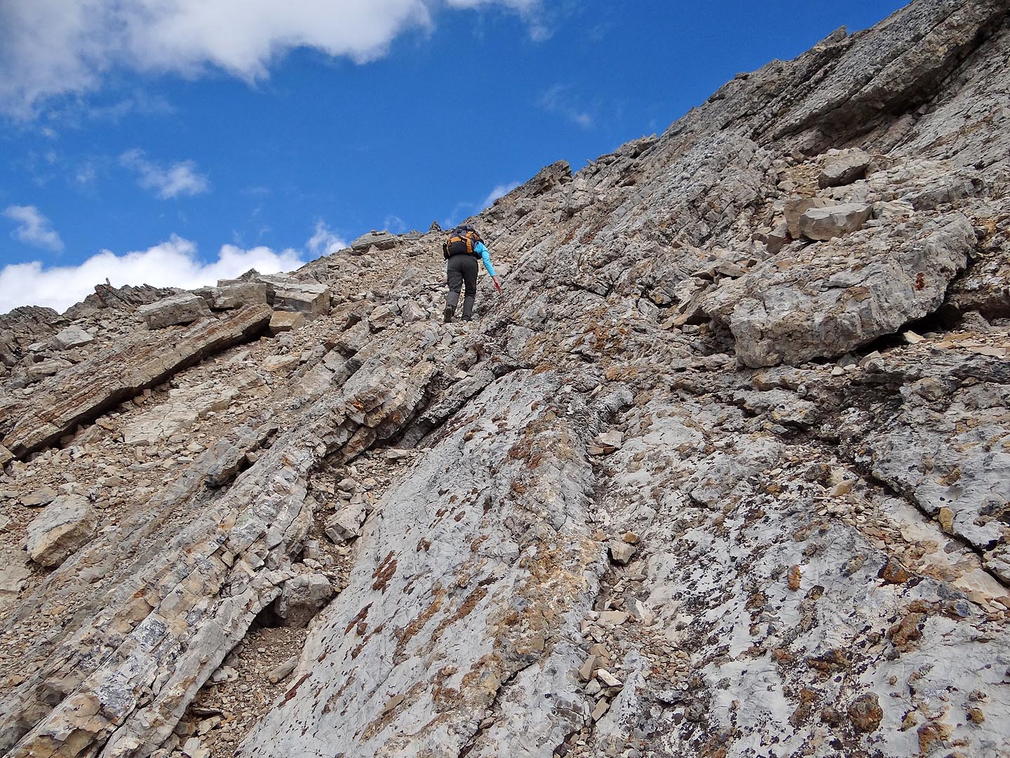
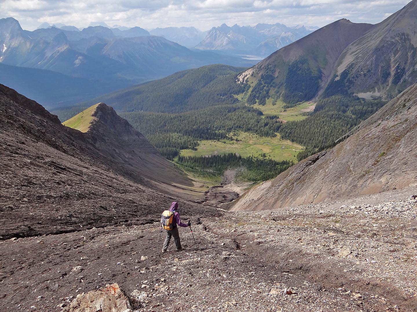
The angled rock with the black line running through it marks the end of a slab that extends to
the saddle. The easiest place to reach the gully is on the right (mouse over).
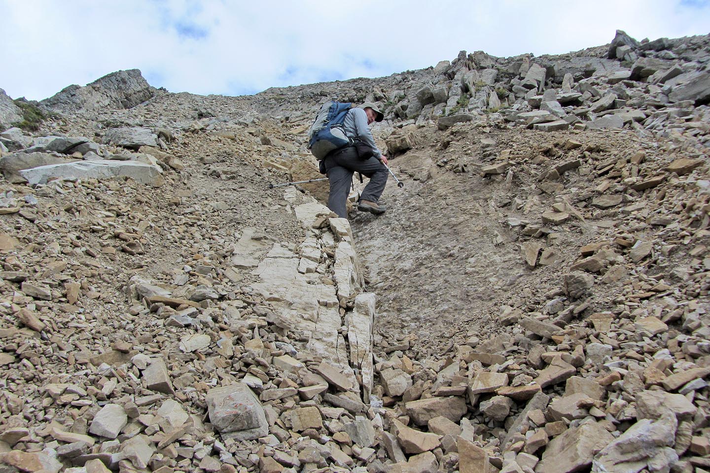
Ascending the slopes next to the gully
Taking the last steps to the saddle (mouse over for a close-up)
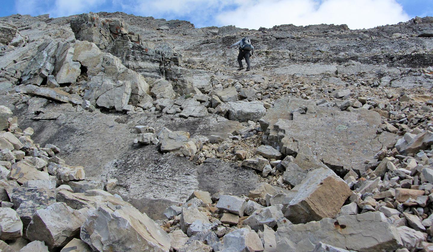
From the saddle, a trail runs below rock slabs
Once past the slabs we started scrambling up
One of many ledges we climbed up
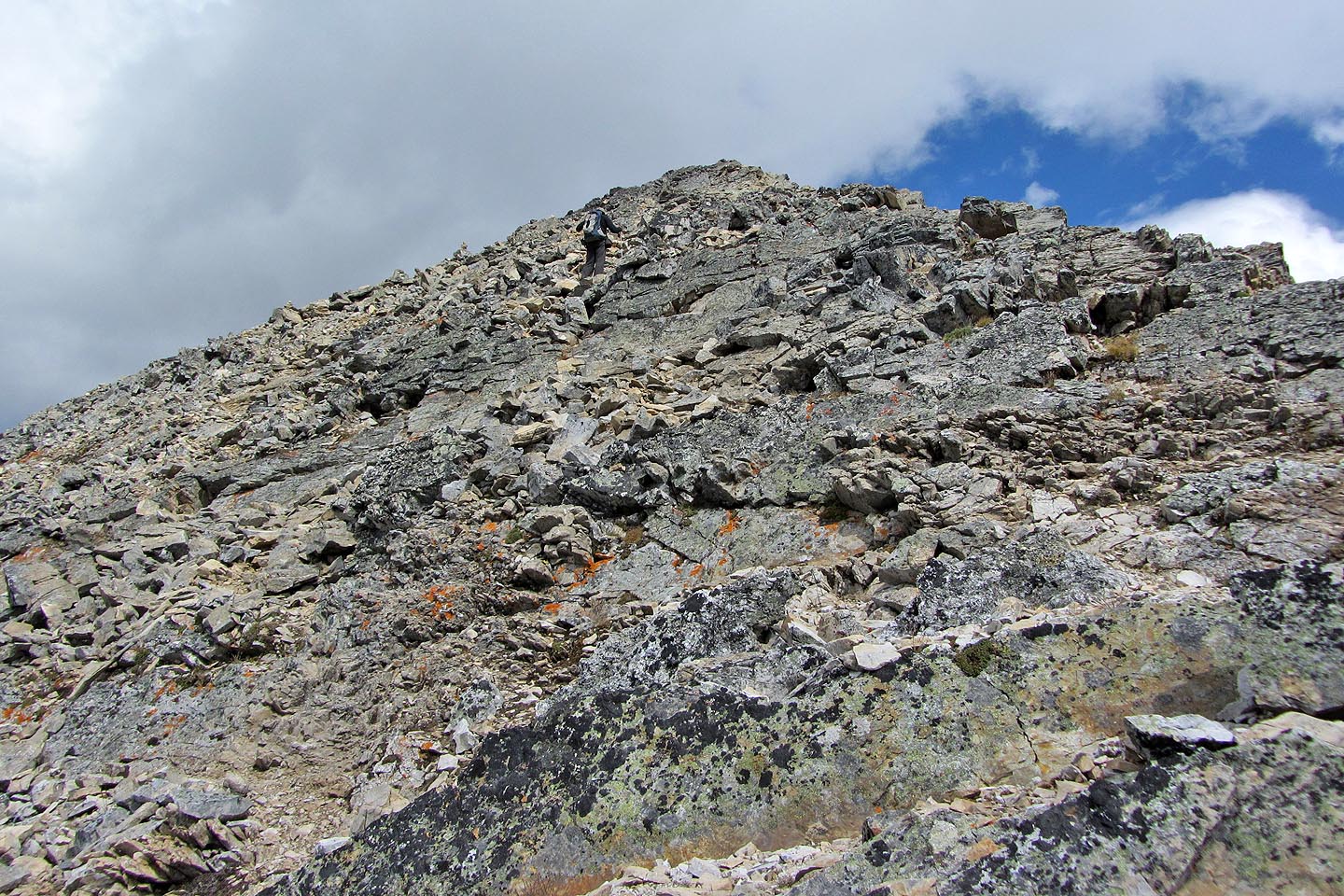
The dark rock of the summit bump appears above us
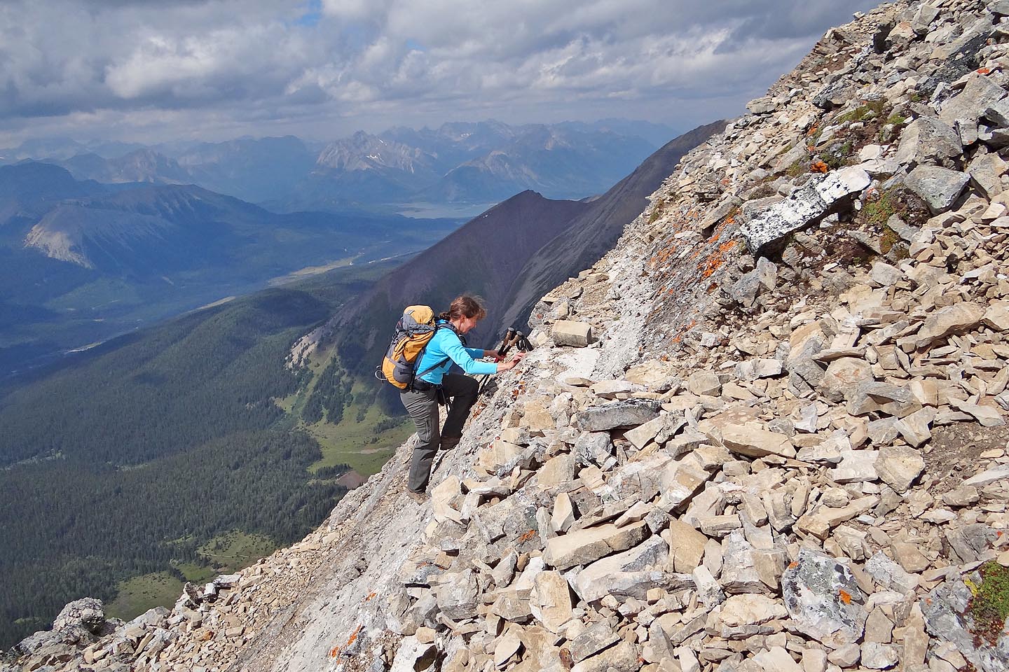
Higher up, the grade steepens
And the rock becomes more interesting
Scrambling up the base of the summit bump
Despite appearances, the summit bump was easy because of a network of trails on ledges
(mouse over for a close-up)
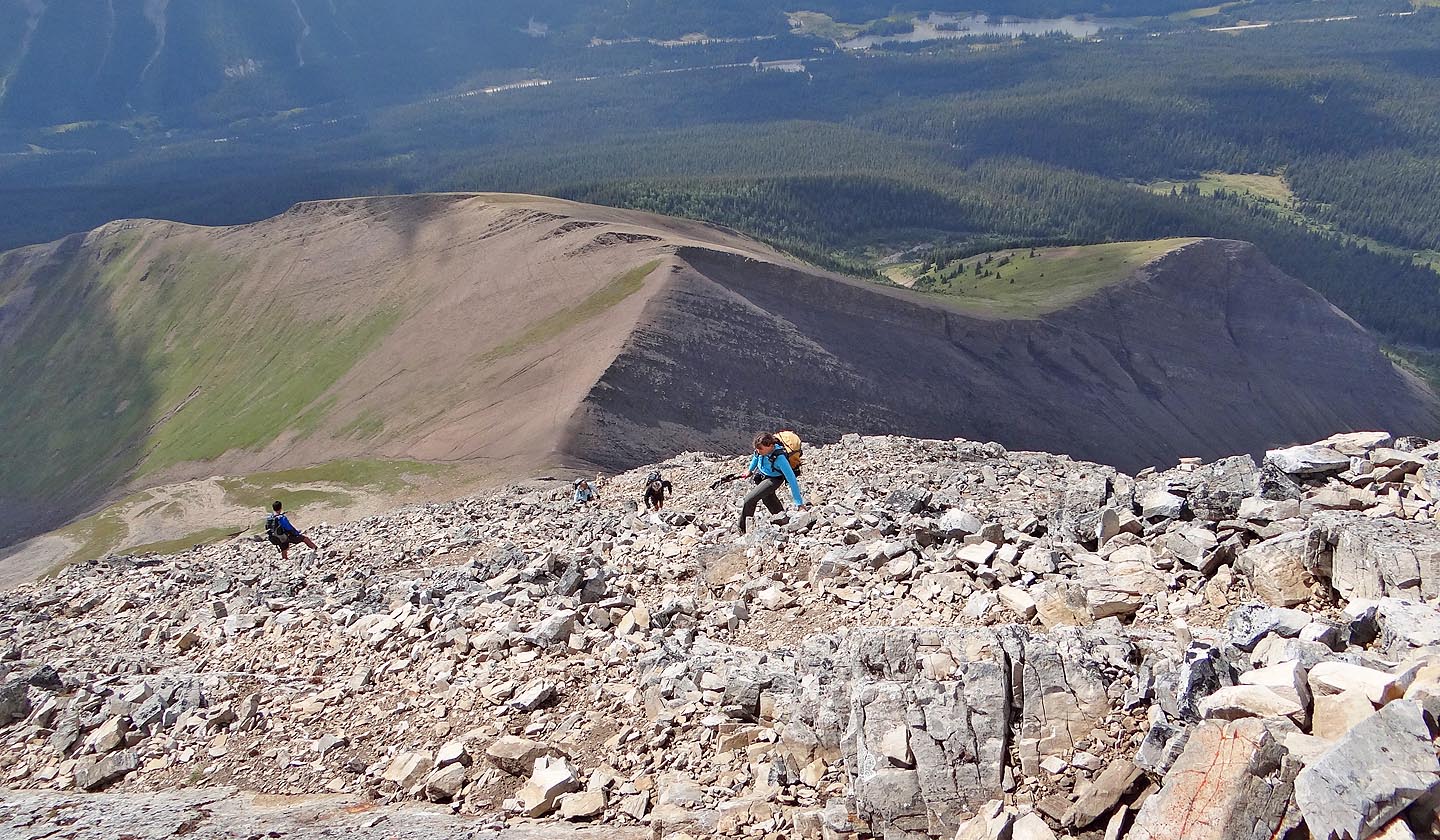
Looking down at the ledges on the summit bump
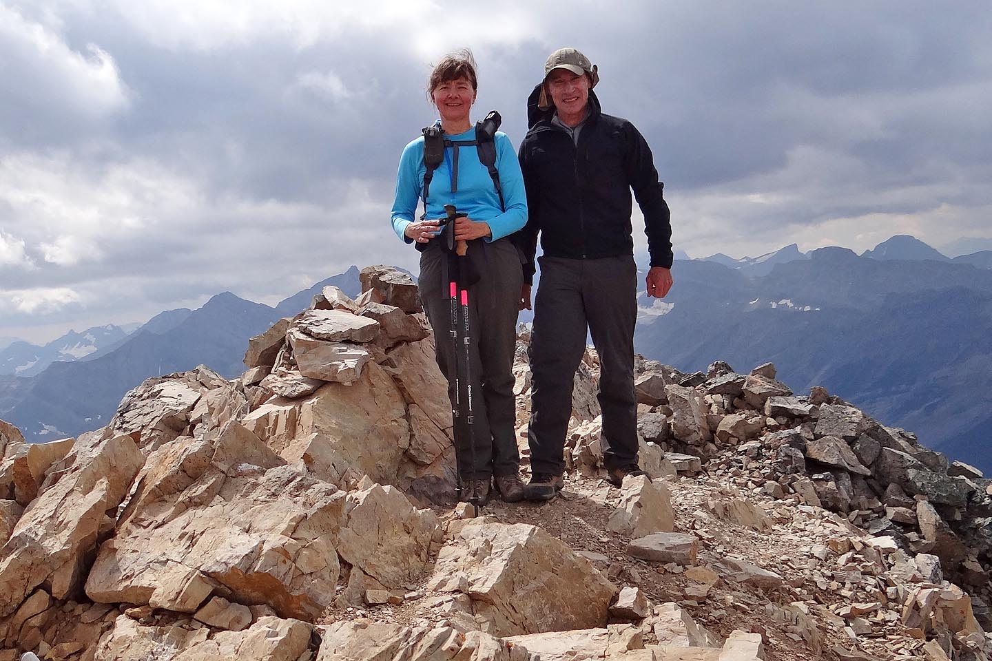
On the summit
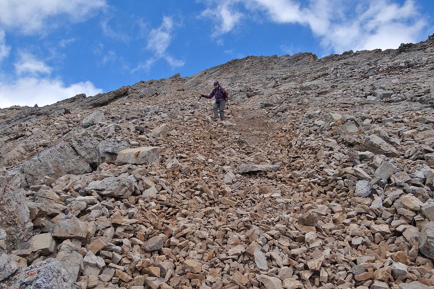
Coming down fast on scree
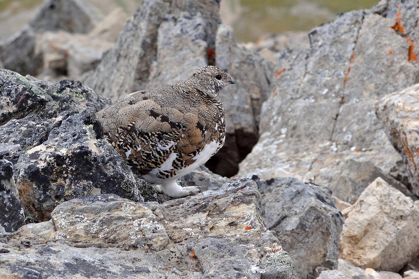
A ptarmigan blends in with the rock
Back at the saddle
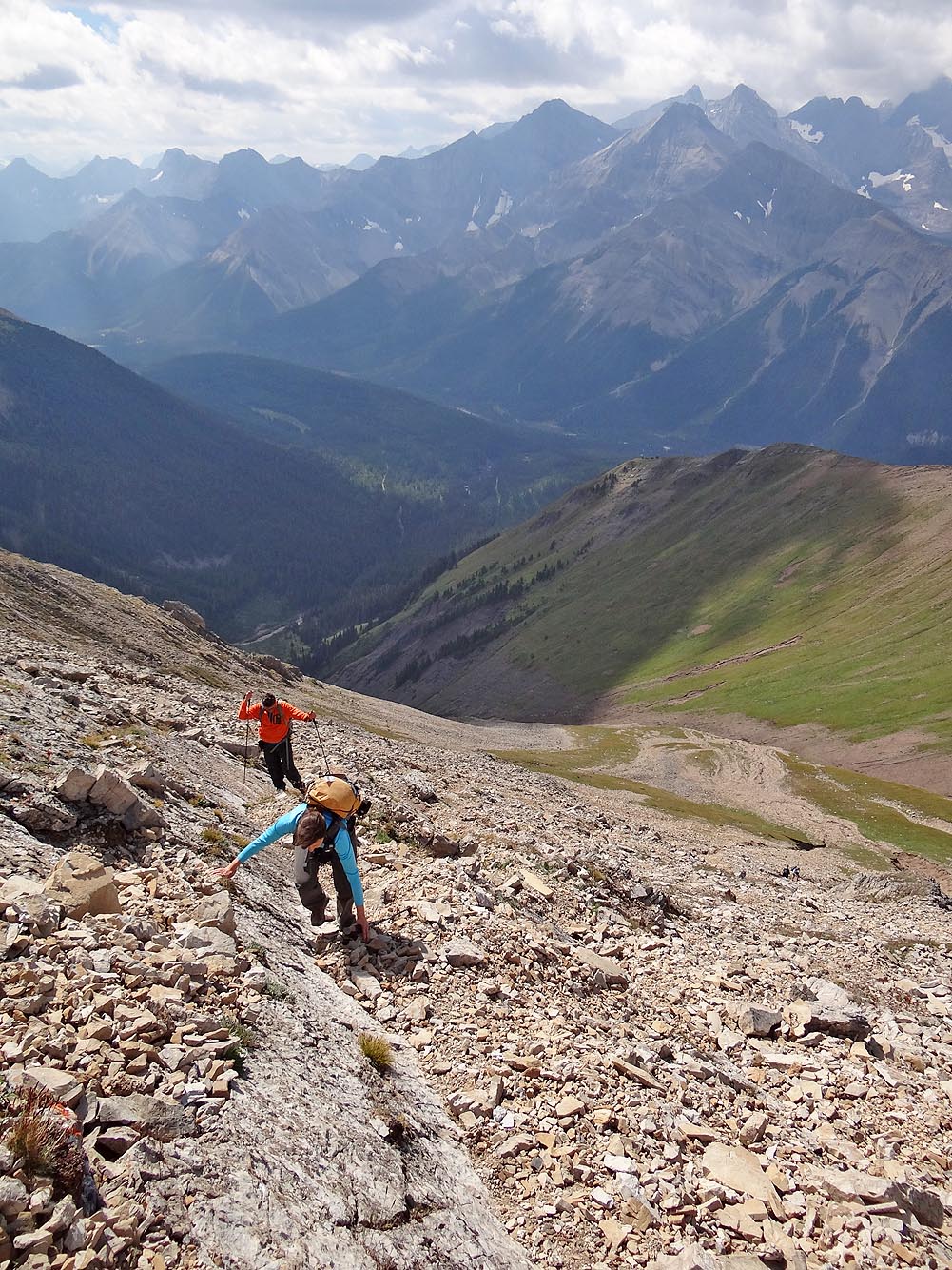
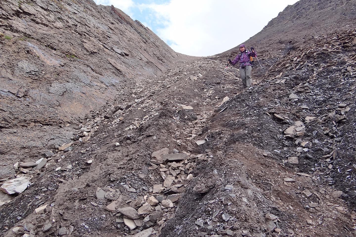
Starting down the gully
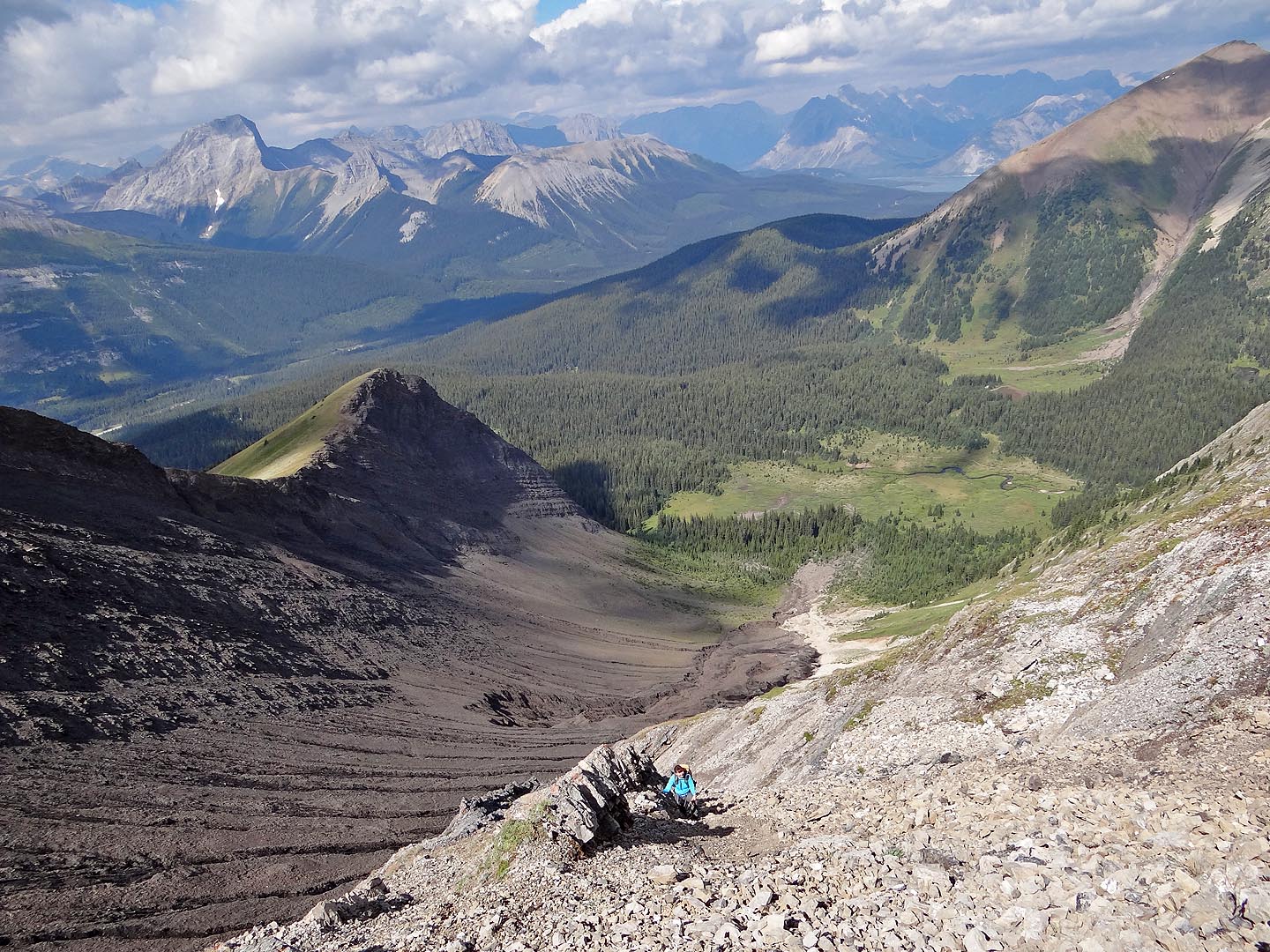
Slabs run along gully
Passing the end of the slab. Note the figures on the skyline ascending the slope.
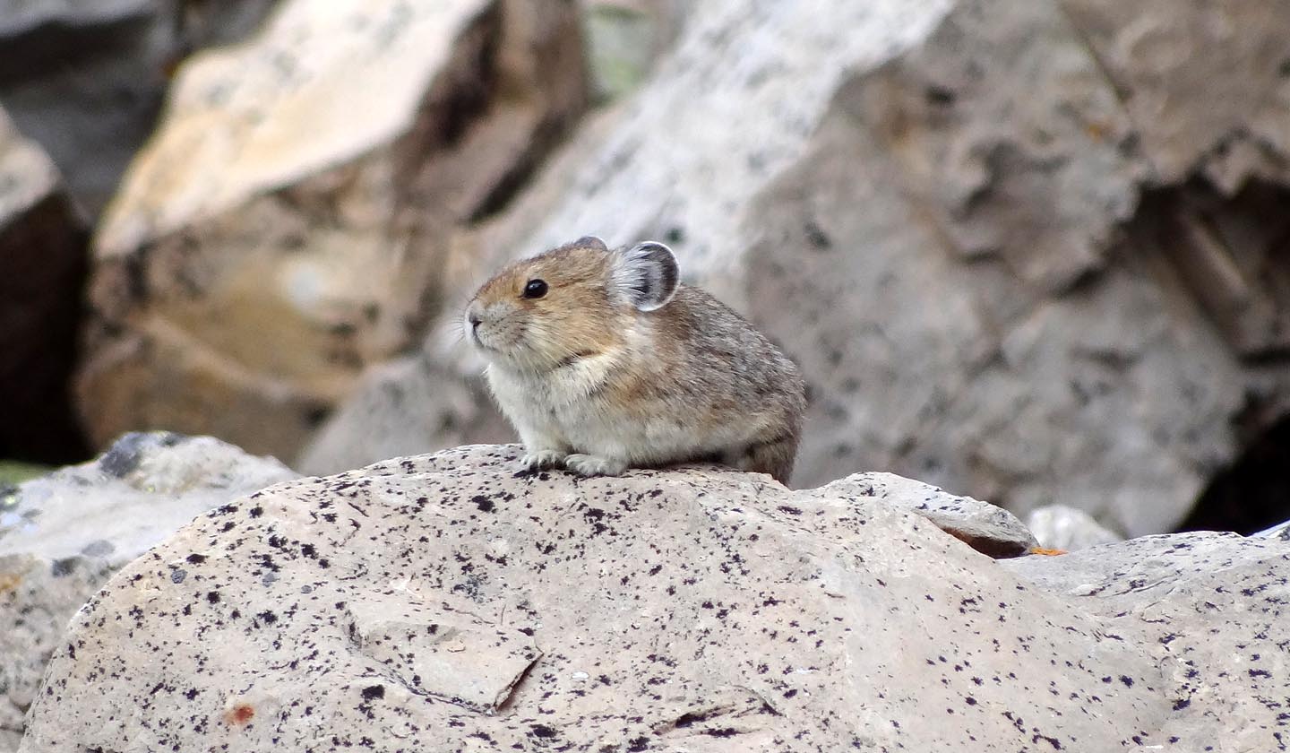
Pika on a rock near the lake
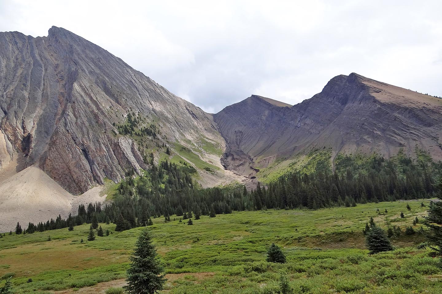
Last look at Mount Chester and the ascent gully
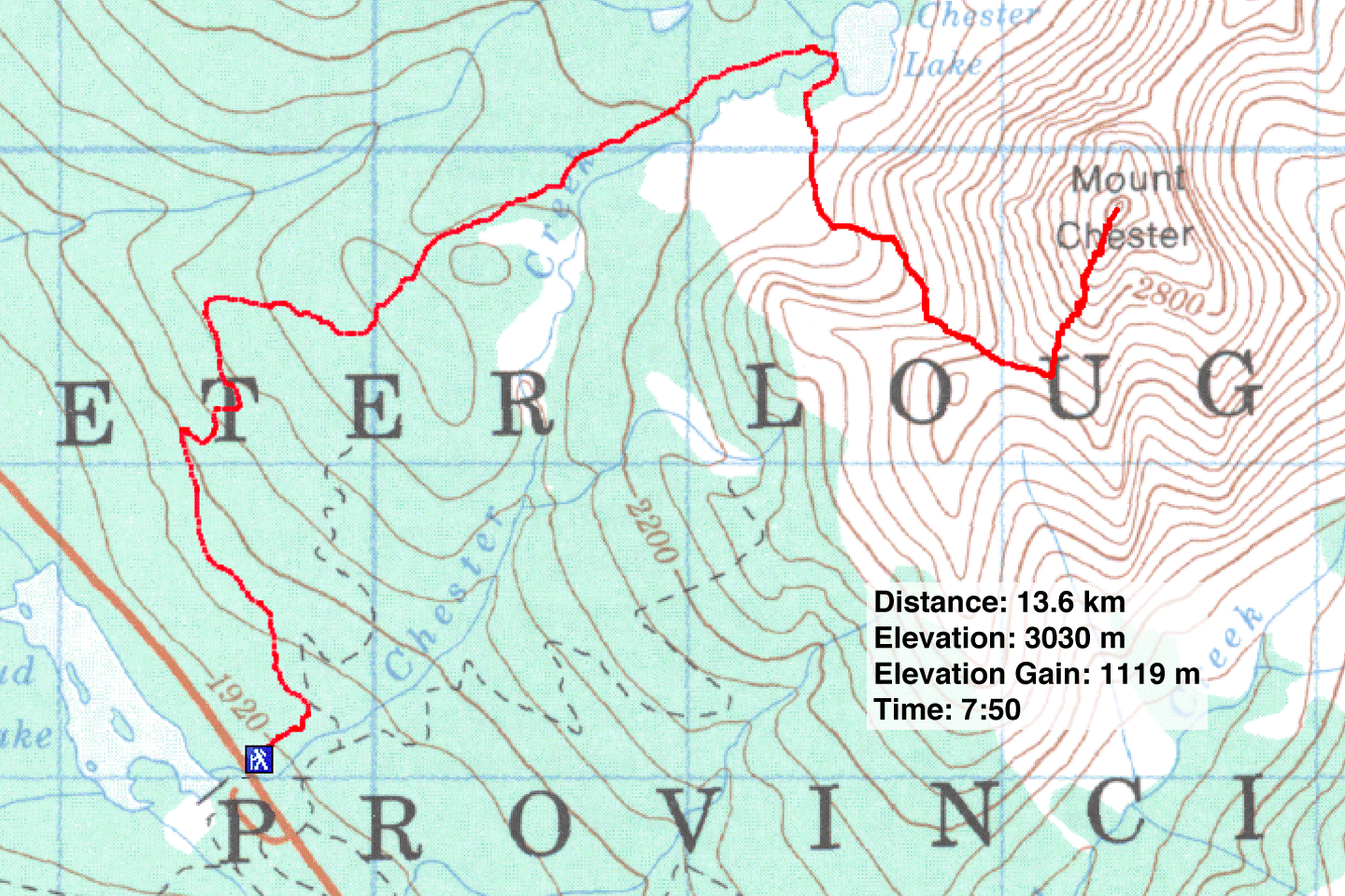
82 J/14 Spray Lakes