bobspirko.ca | Home | Canada Trips | US Trips | Hiking | Snowshoeing | MAP | About
King Creek Ridge
Kananaskis, Alberta
July 8, 2017
Distance: 7.2 km 4.5 mi)
Cumulative Elevation Gain: 762 m (2500 ft)
I remember little of my hike up King Creek Ridge back in 2005, so I decided to revisit it. From the parking lot, I set off up the trail that begins at the bridge over King Creek. The path soon forked: right is the old trail, no longer used; left is the new trail. It traverses low on the mountainside before rising steeply to the ridge. Confusingly, several trails split on the slope. Most appear to rejoin the main route, but a few seem questionable. When in doubt, I took trails with the steepest grade and soon reached the ridge crest. Here the route settled down to one track.
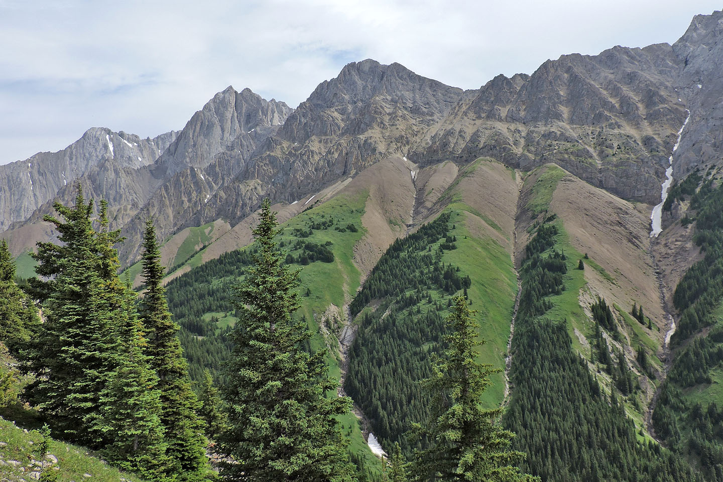
After following the ridge in trees for a time, I came across breaks where I was rewarded with views of Mount Brock and Mount Blane on the right. In 2000, on one of my first scrambles, I recalled how I guided a small group up to a col between the two peaks. It was an interesting trip but far from our objective, Mount Hood.
I followed the trail along King Creek Ridge to the false summit, a spacious, grassy bump marked with a huge cairn. The true summit, a narrow lump of rock, sits less than 200 m away and a dozen metres higher. There is little room on the summit and it has no cairn. While hikers gathered on the false summit, I relaxed here for a time before following the trail back down.
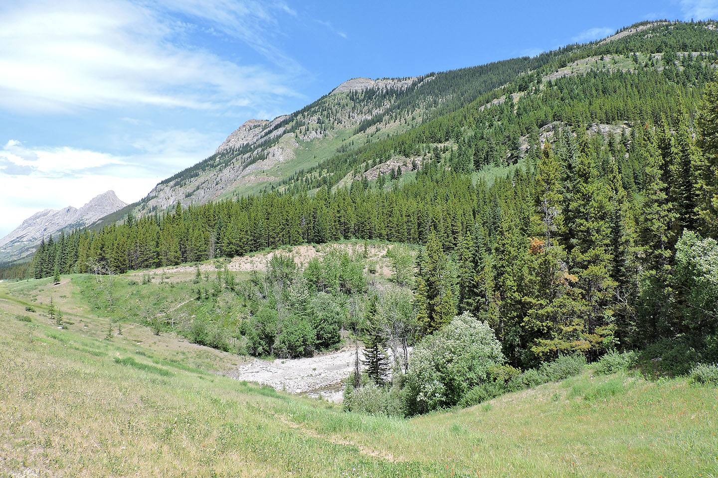
King Creek Ridge from the trailhead
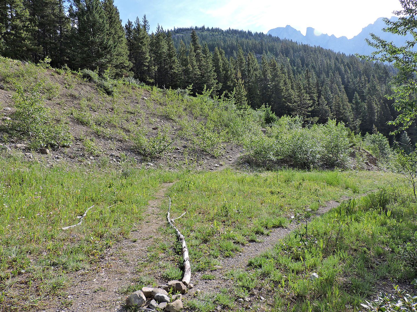
The trail splits near the start. Keep left for the new trail.
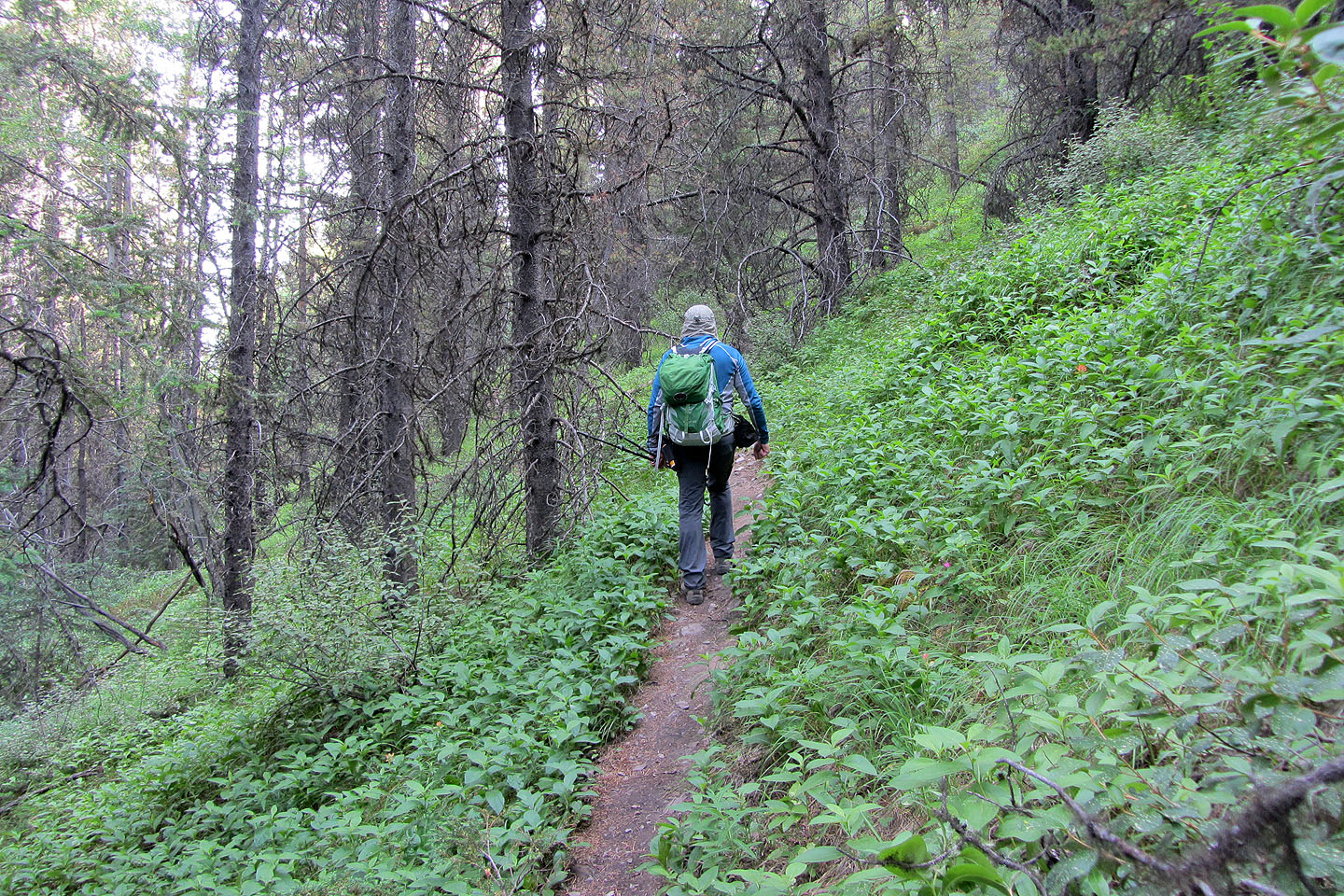
For a time, the trail traverses low on the slope, gaining little elevation
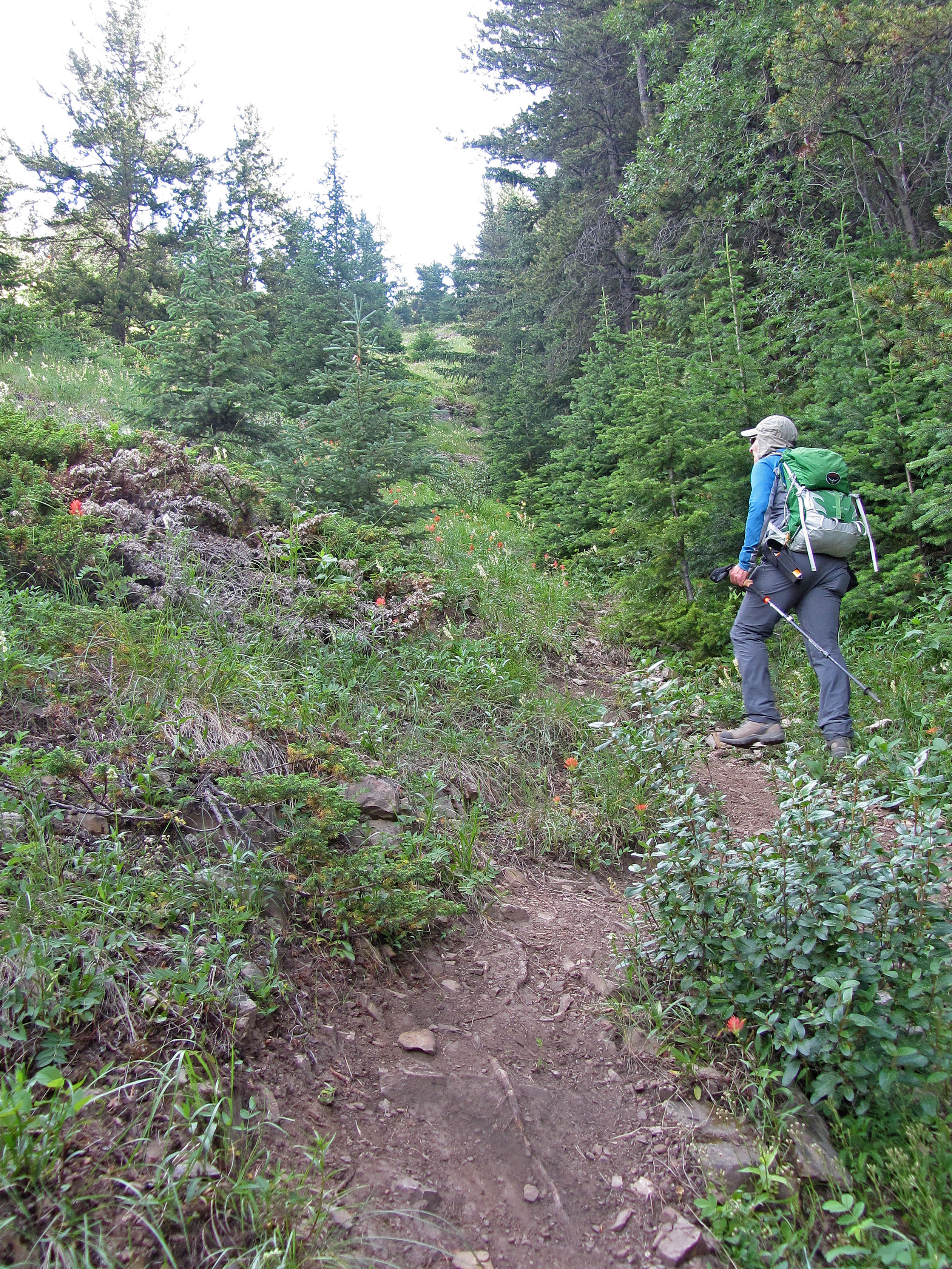
Then it begins a steep climb to the ridge
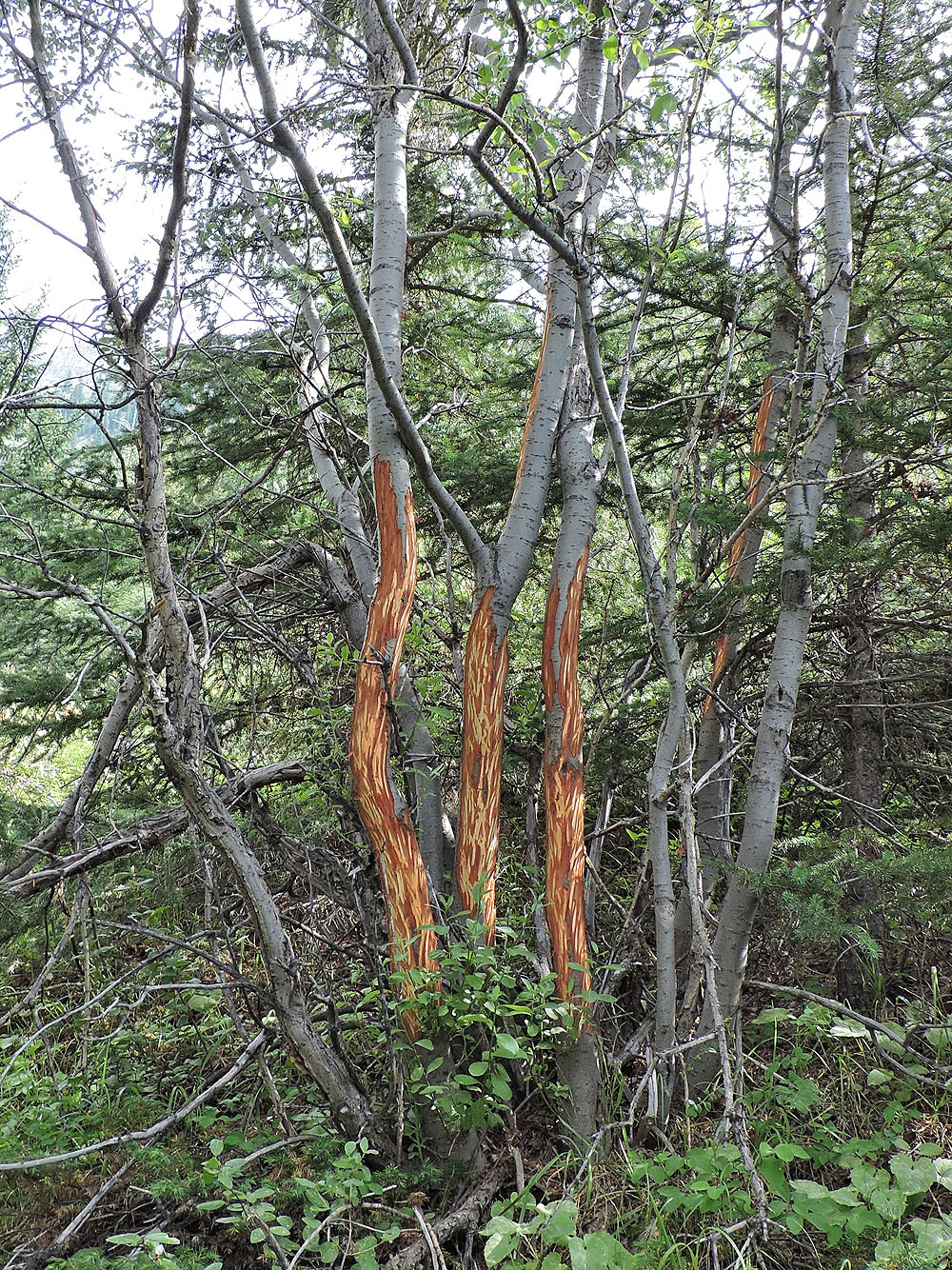
I passed what must be some tasty trees
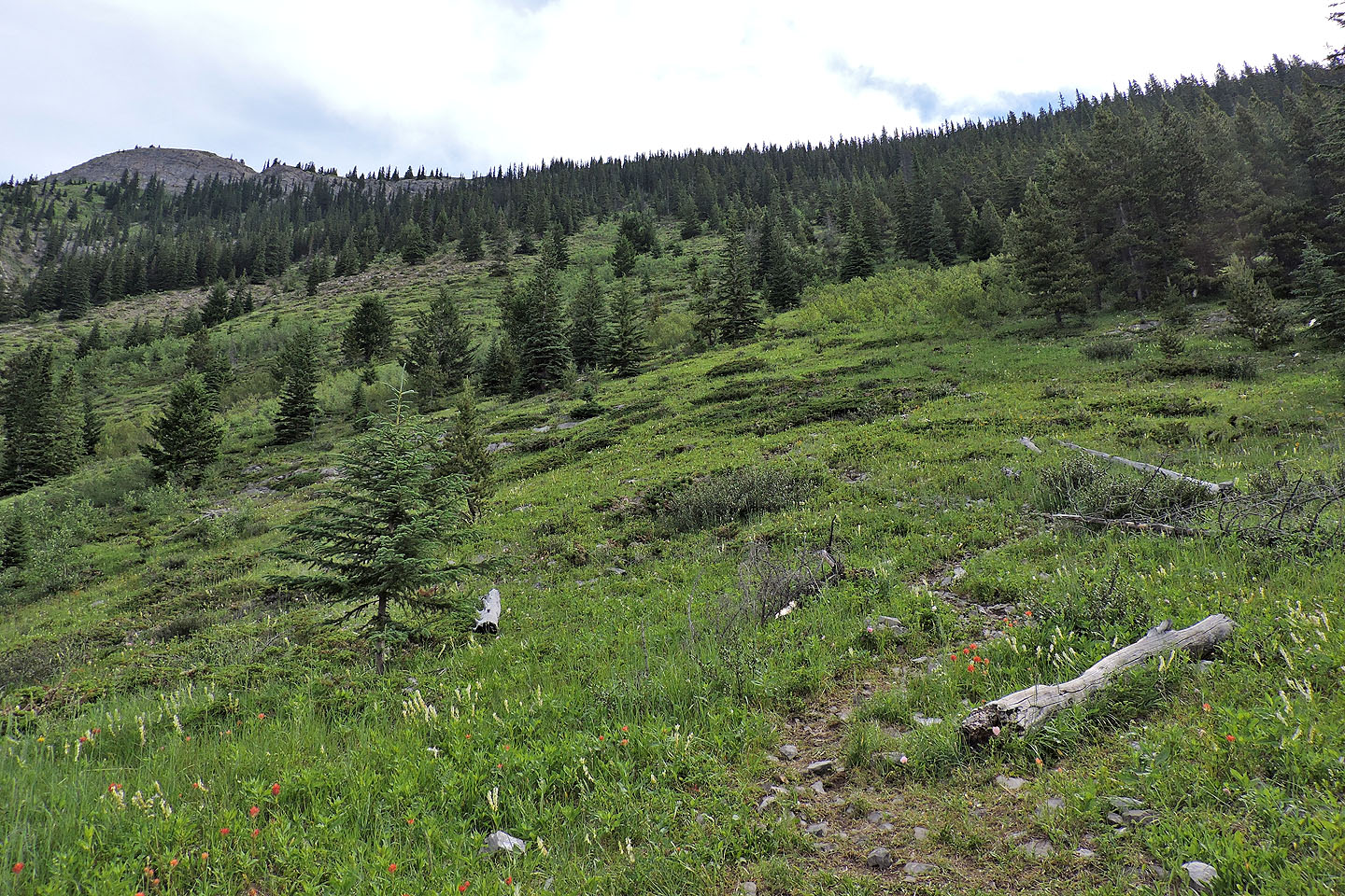
After hitting a large meadow, the trail turns right
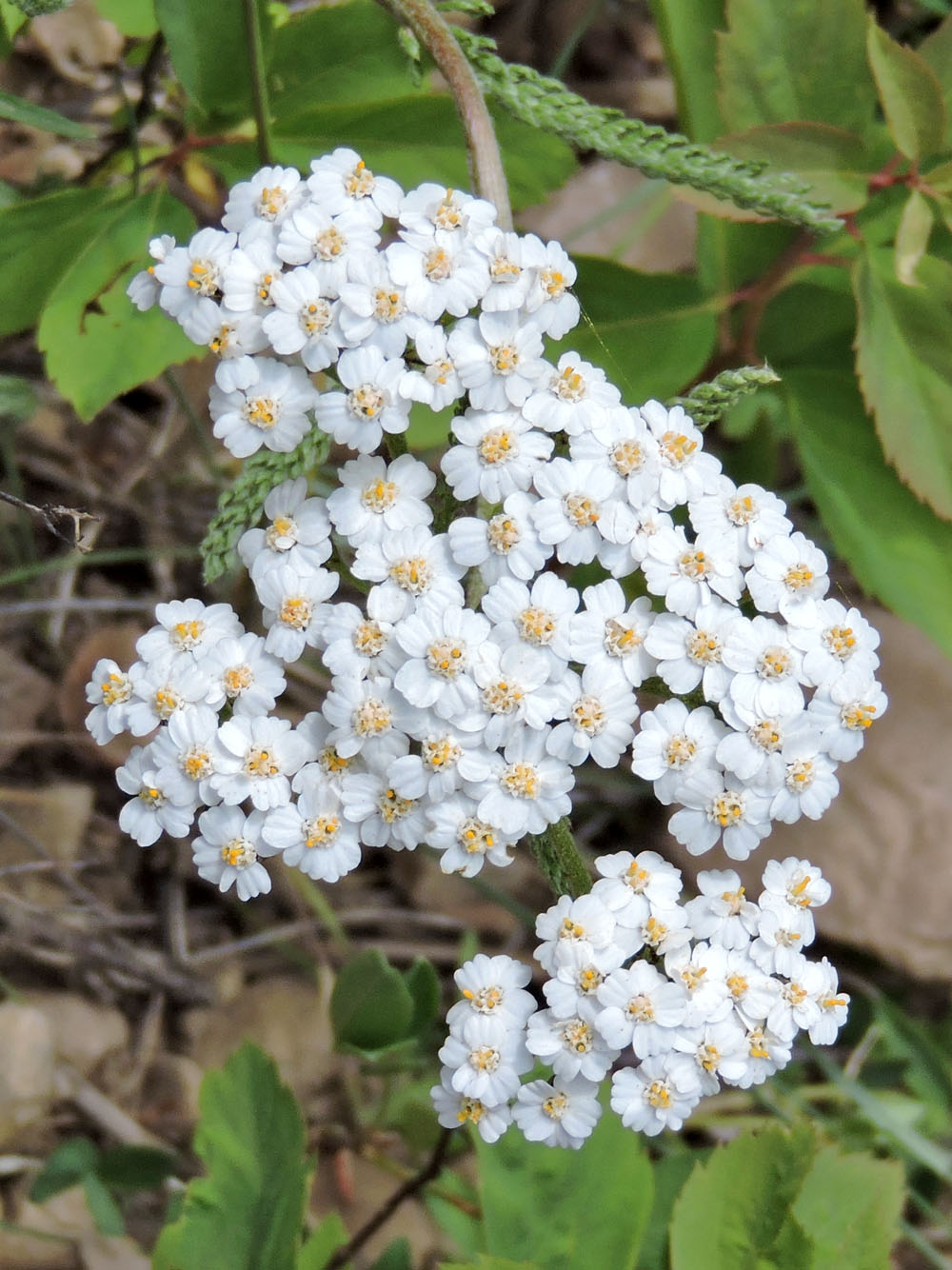
Yarrow
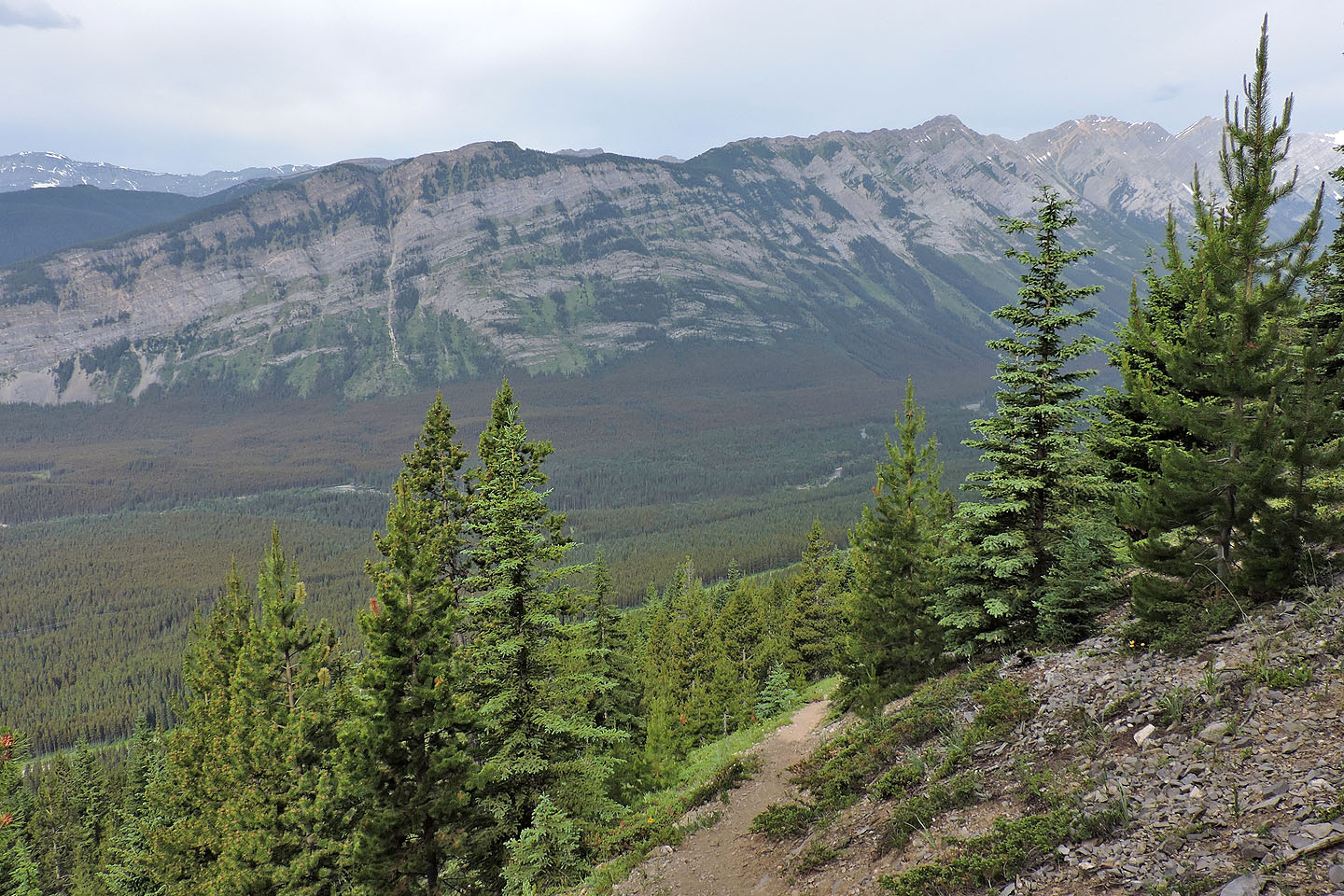
Looking back at the South End of Lawson and Mount Lawson
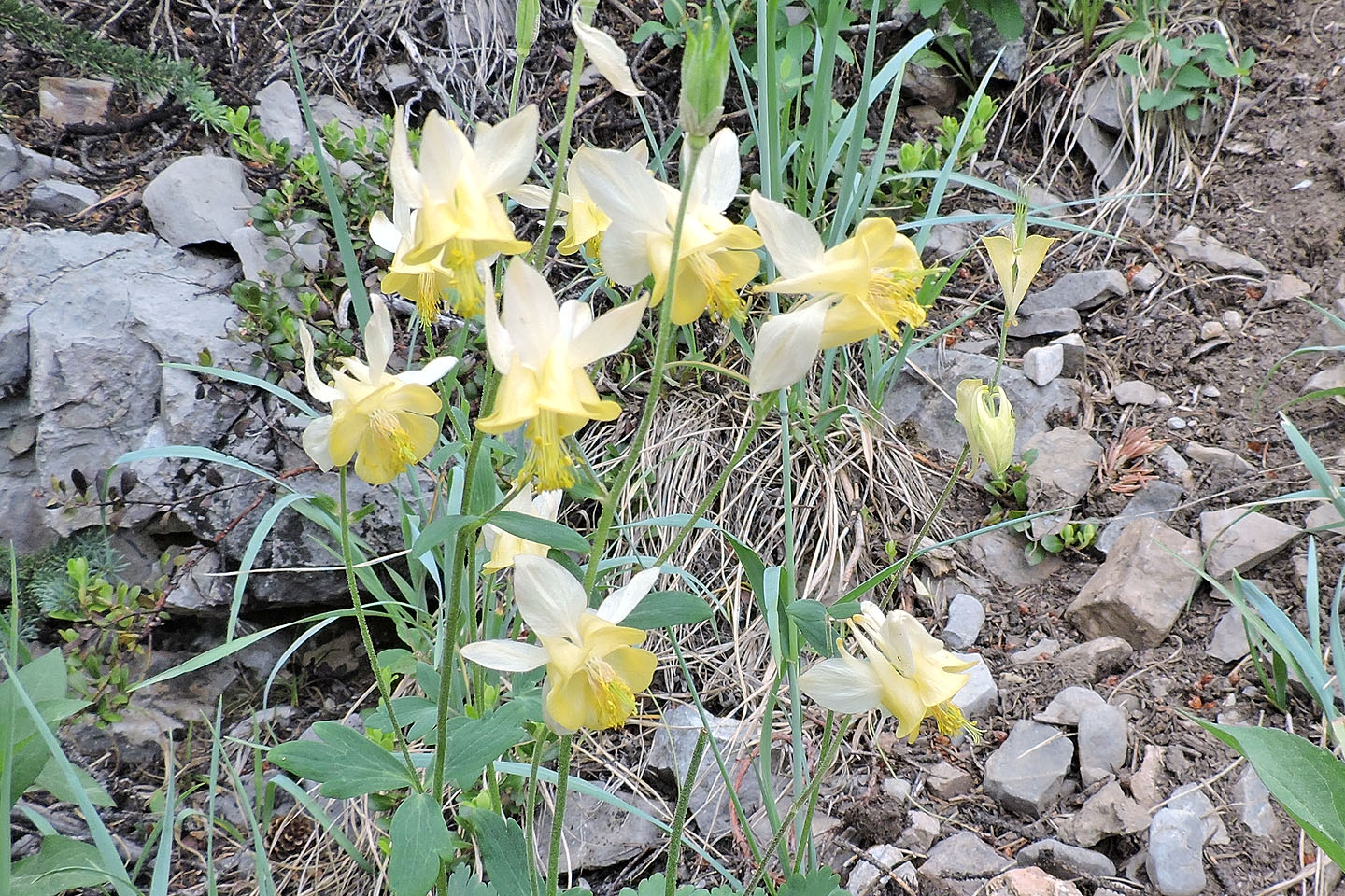
Yellow columbine
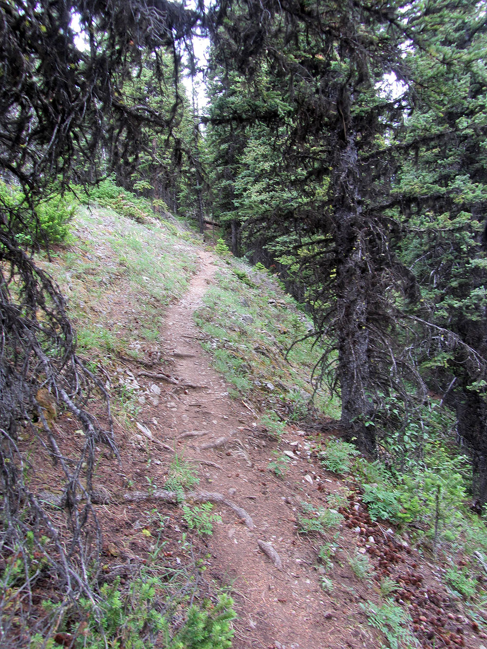
The trail reaches the ridge in the trees
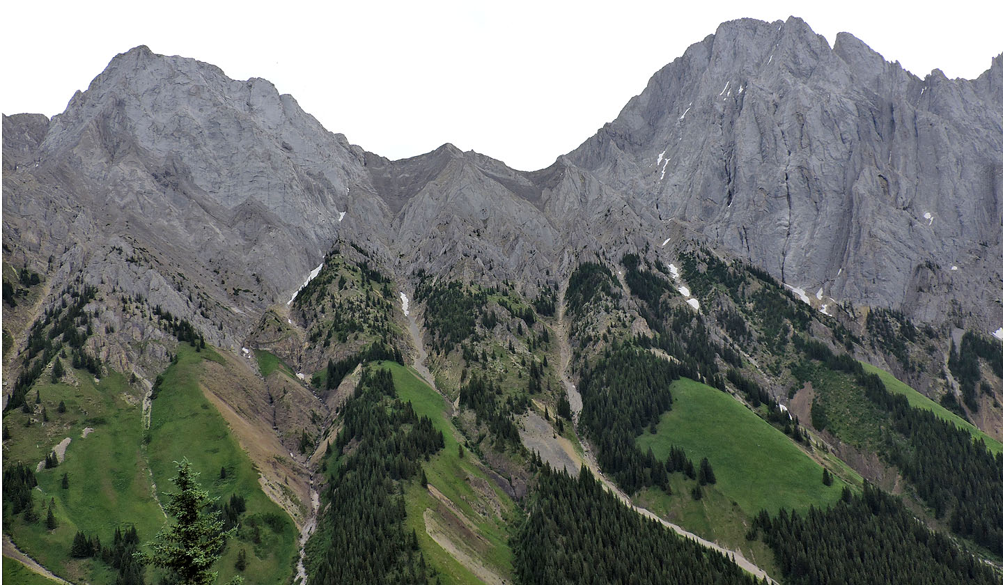
Mount Brock and Mount Blane lie east. Back in 1999, I climbed the knoll between them.
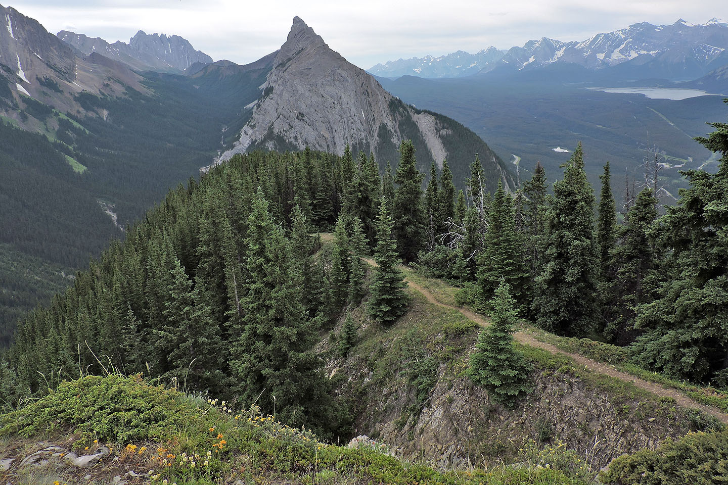
Mount Wintour to the south
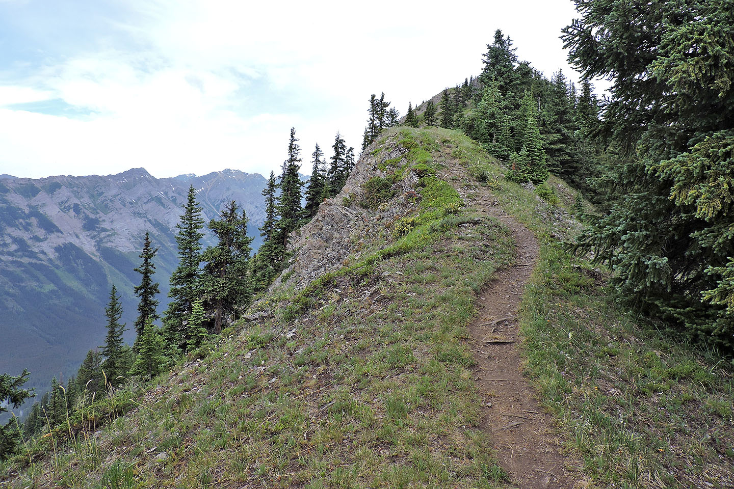
The ridge opens up in places
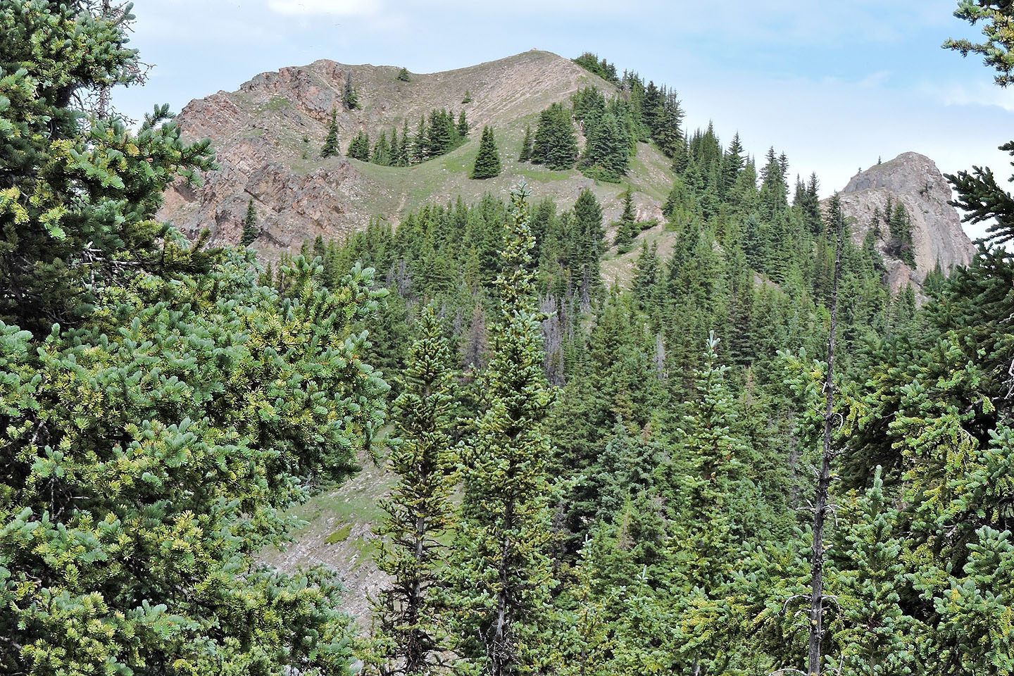
The false summit and the true summit
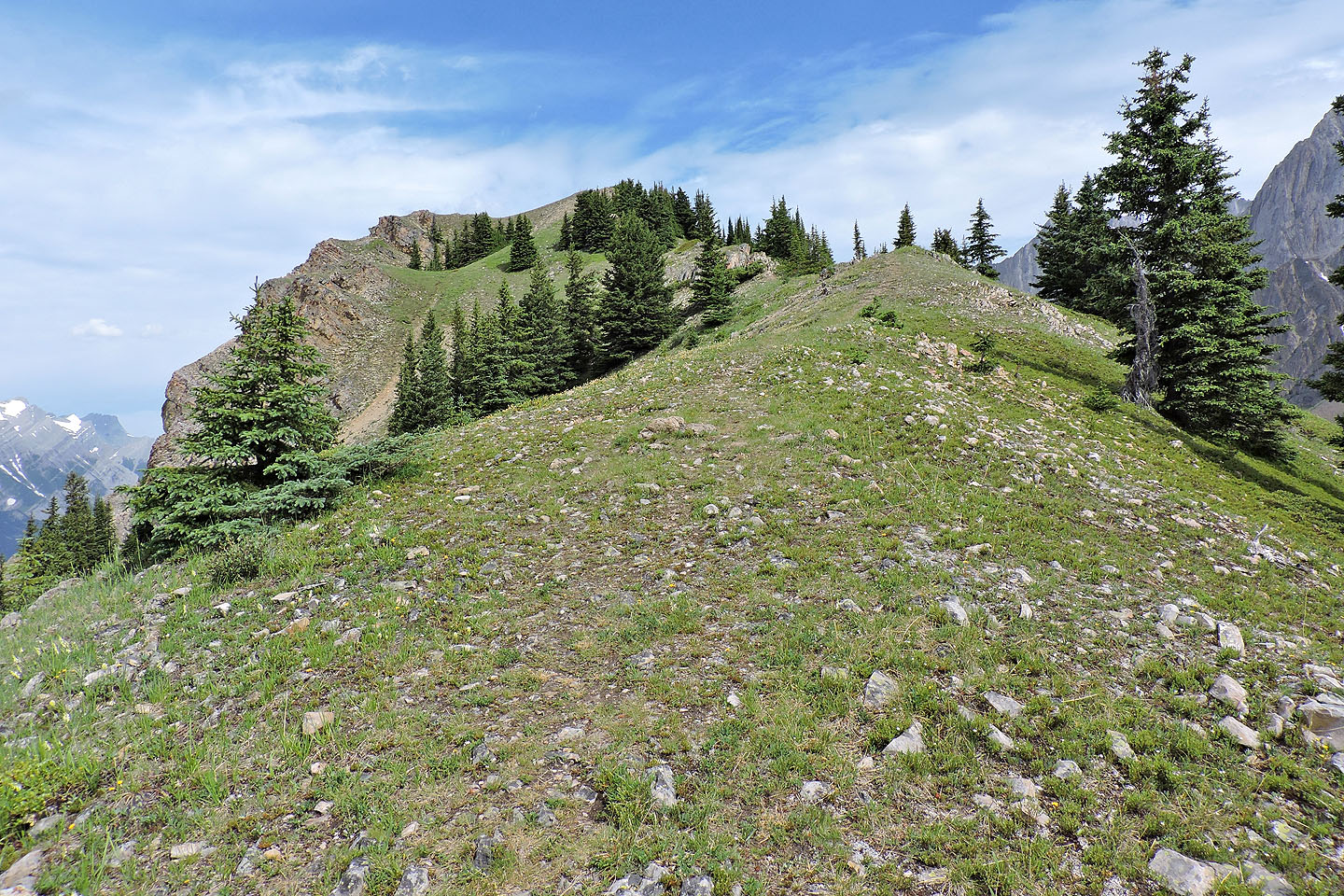
The last ridge section to the false summit
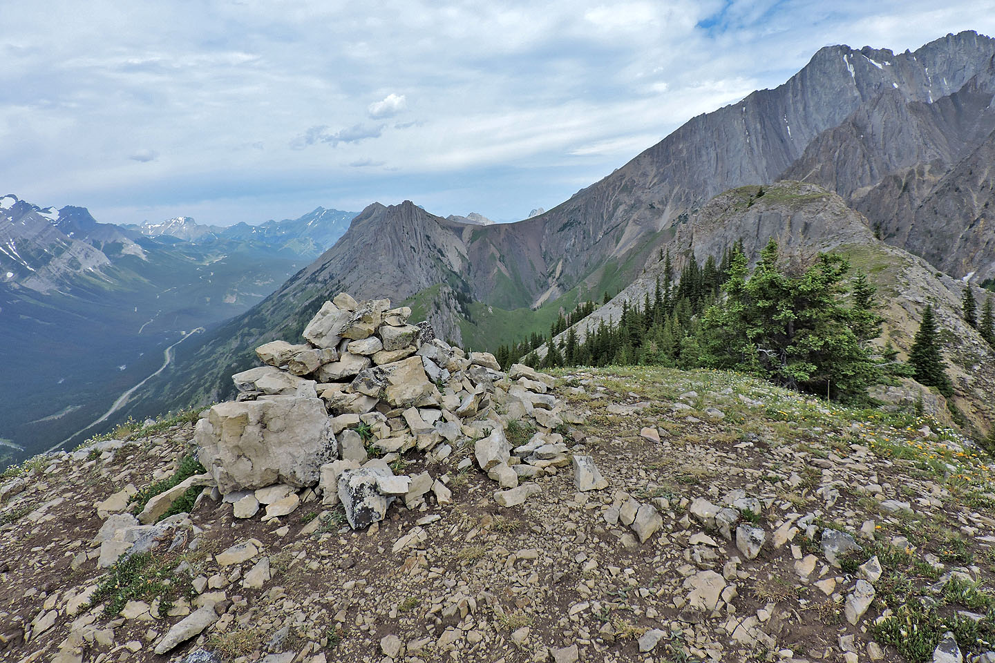
Looking at the true summit from the false summit
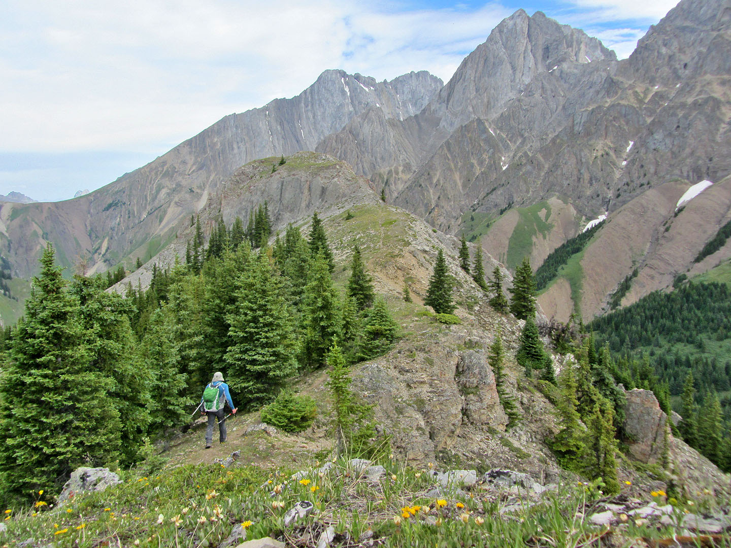
On my way to the true summit
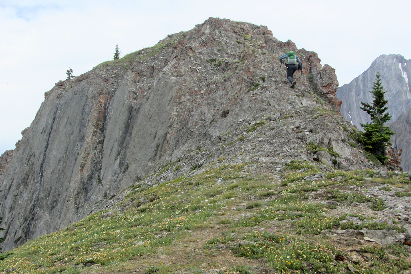
There's a bit of scrambling and a touch of exposure before reaching the summit
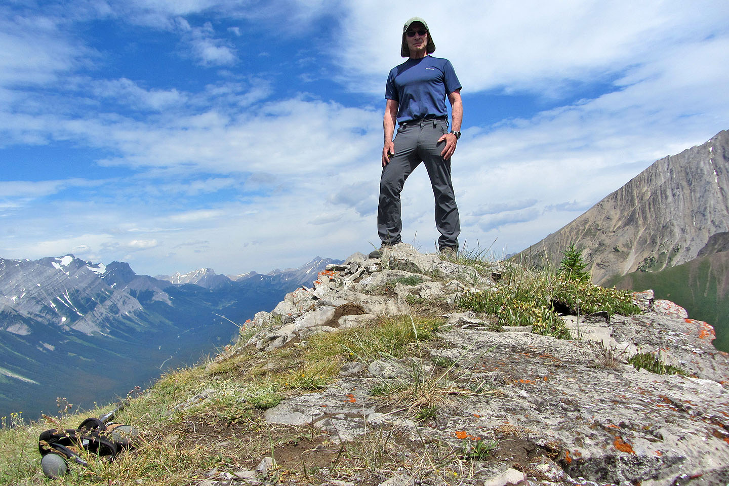
On the summit
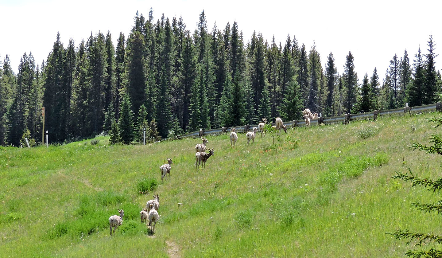
Just before I reached the parking lot, a herd of mountain sheep headed to the highway
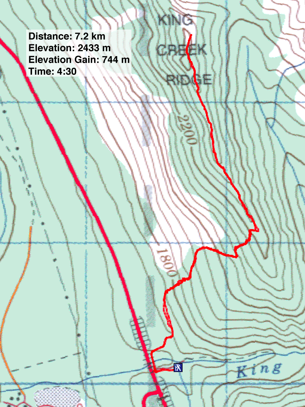
82 J/11 Kananaskis Lakes

