bobspirko.ca | Home | Canada Trips | US Trips | Hiking | Snowshoeing | MAP | About
Mount Lawson
Kananaskis, Alberta
August 30, 2003
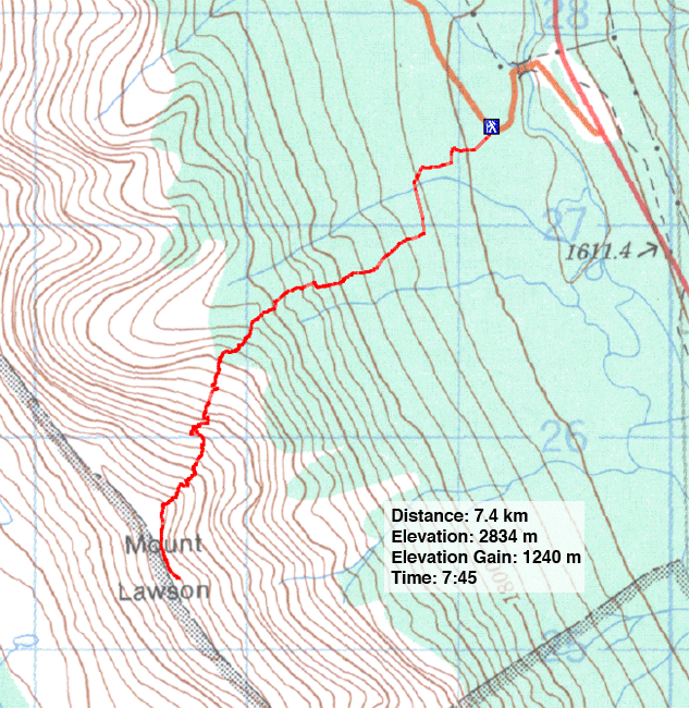
Distance: 7.4 km (4.6 mi)
Cumulative Elevation Gain: 1240 m (4068 ft)
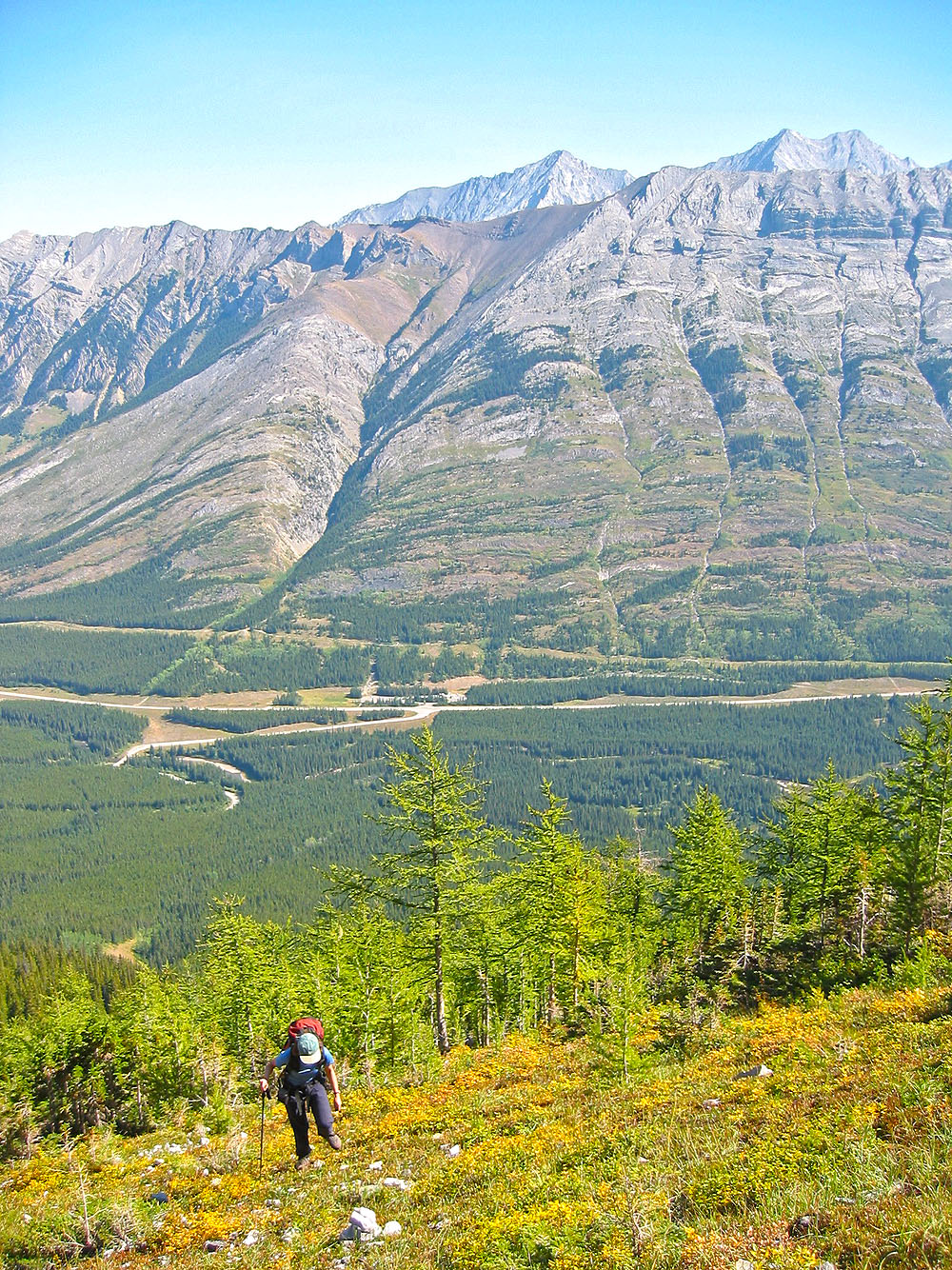
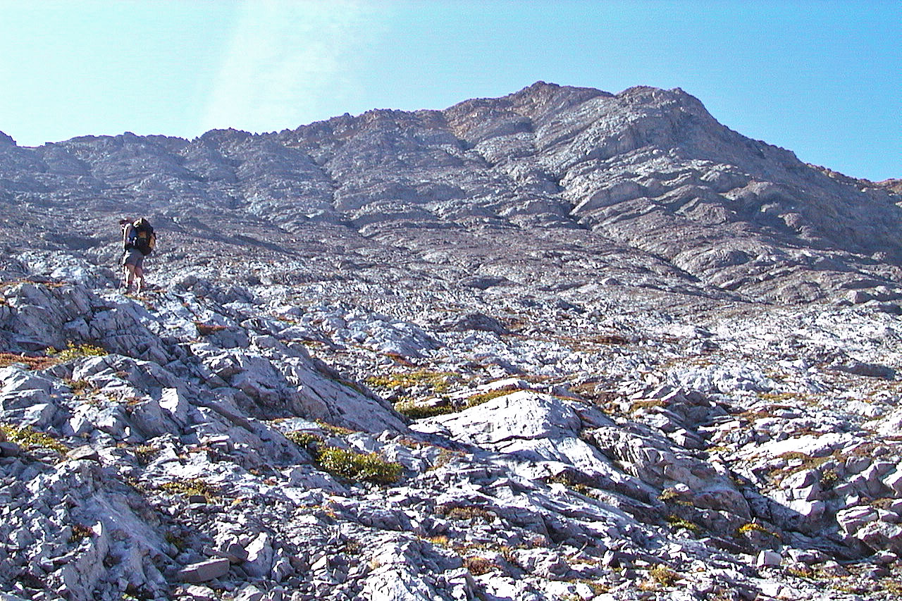
Mount Lawson is climbed using its steep northeast slope. First you need to find the drainage at the bottom of the slope. Dinah and I had trouble finding the right drainage at the start and floundered a bit in the trees before getting on track. But once we settled in the gully, the route unfolded well enough. Above the treeline, a long climb up loose rock awaited us. We were glad to break out onto the summit ridge. A short ridge walk brought us to the top of Mount Lawson.
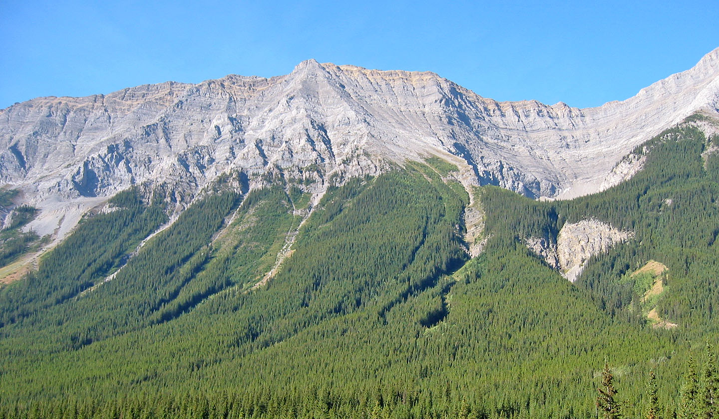
Mount Lawson from the highway
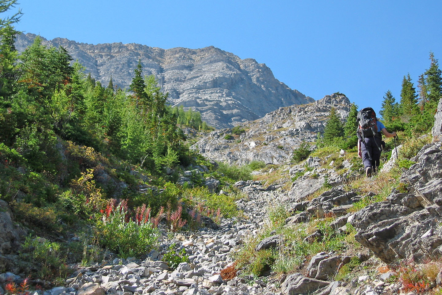
Hiking up the gully
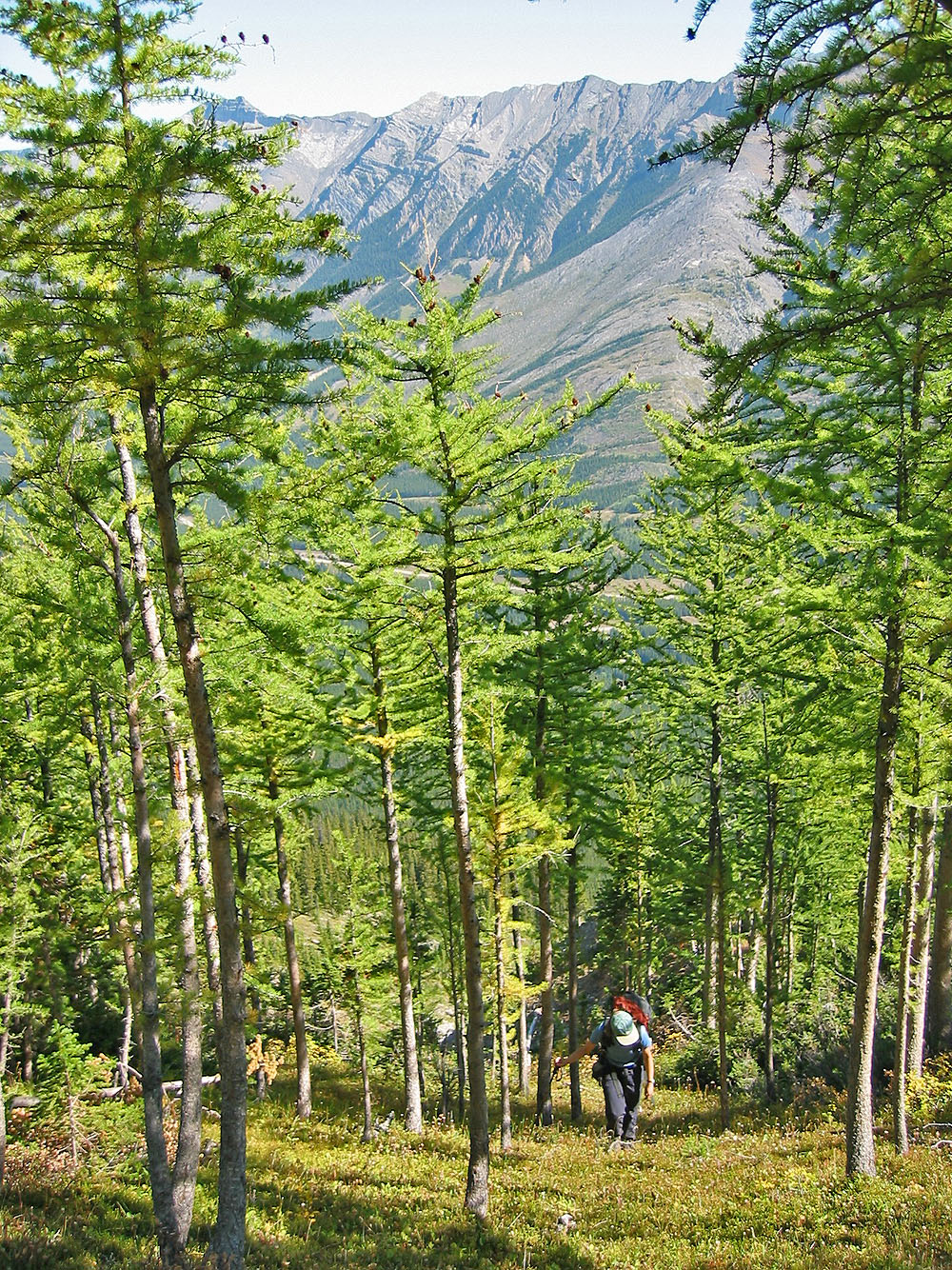
Hiking through larches
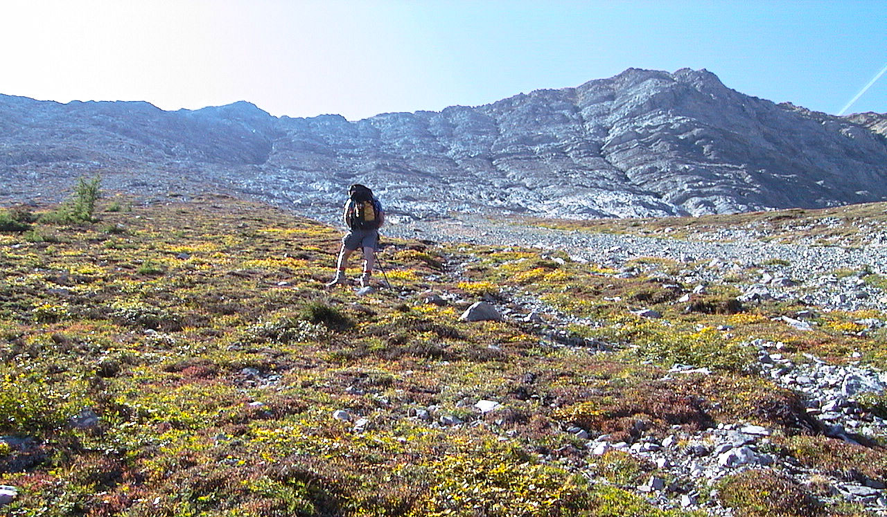
Above the treeline
Heading to the rocky lower slopes
From the lower slopes we looked for the best way up
The slope comprises mostly loose rock
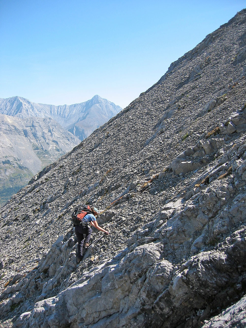
Dinah negotiates the rubble on a steep slope
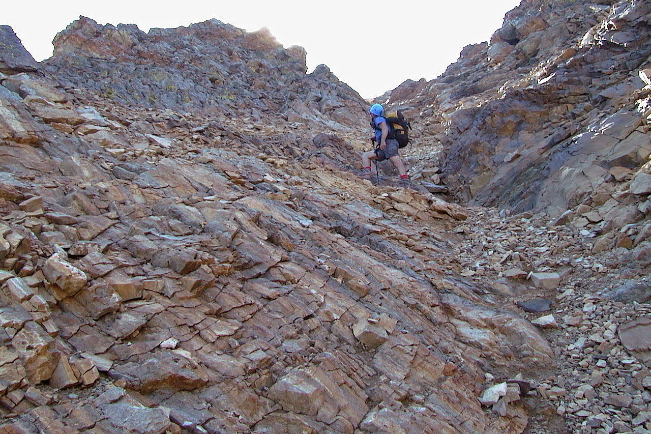
Looking for the easiest way up
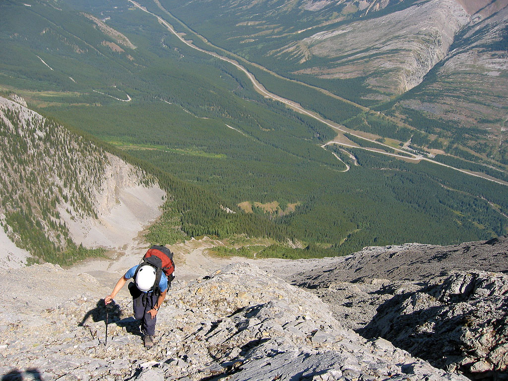
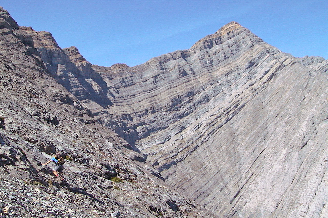
Looking back, the ascent gully can be clearly seen
Finally on the ridge
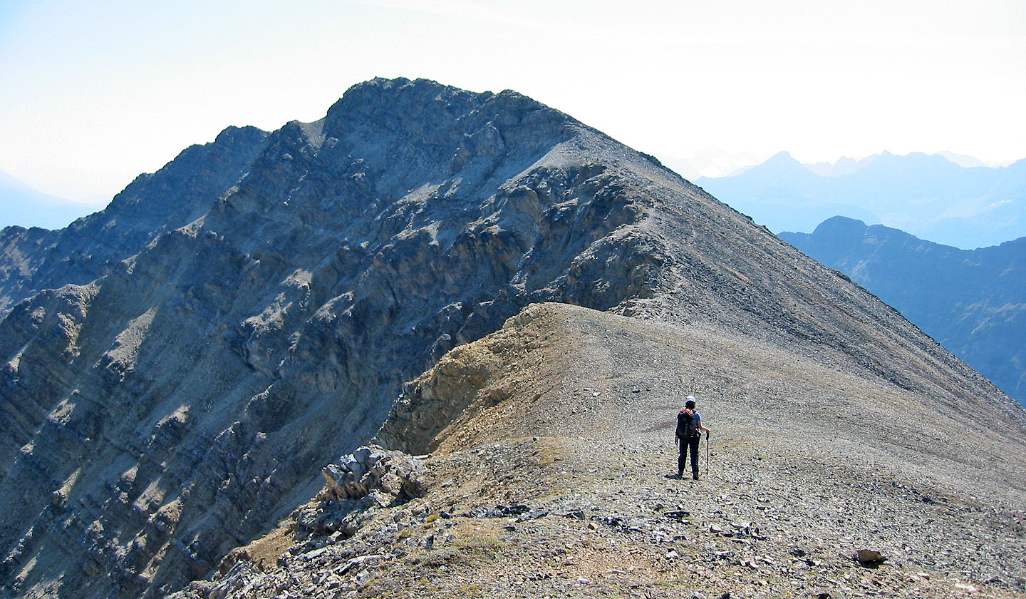
From the ridge it's a walk to the summit
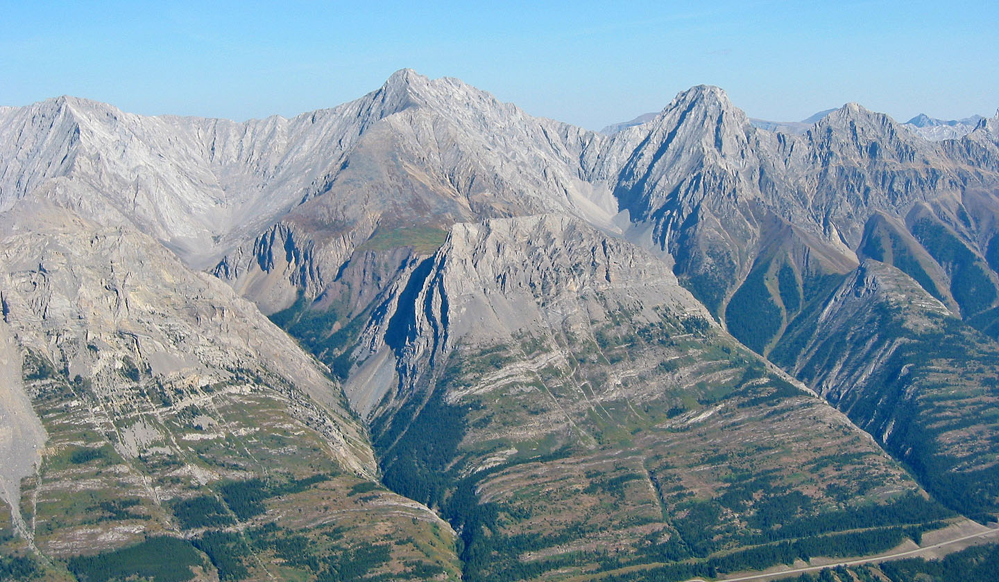
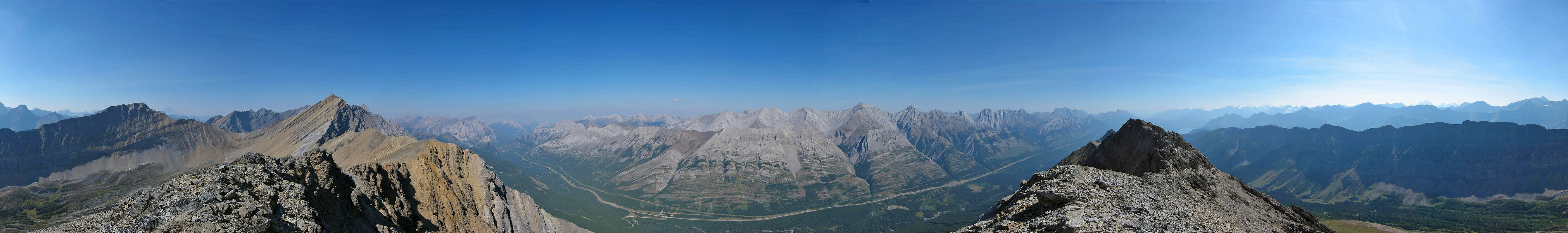
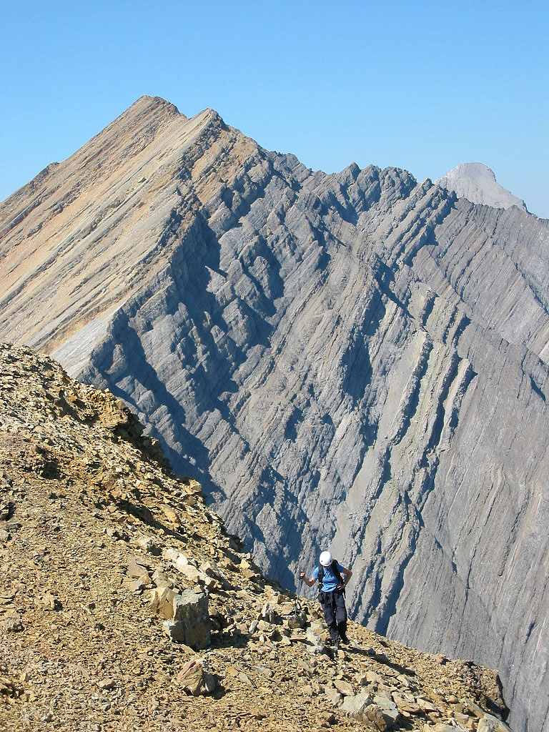
Grizzly Peak in the centre, Packenham Jr. lower right
 /
/
82 J/14 Spray Lakes