bobspirko.ca | Home | Canada Trips | US Trips | Hiking | Snowshoeing | MAP | About
Missinglink Mountain (South Approach)
Kananaskis, Alberta
November 14, 2009
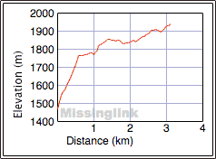
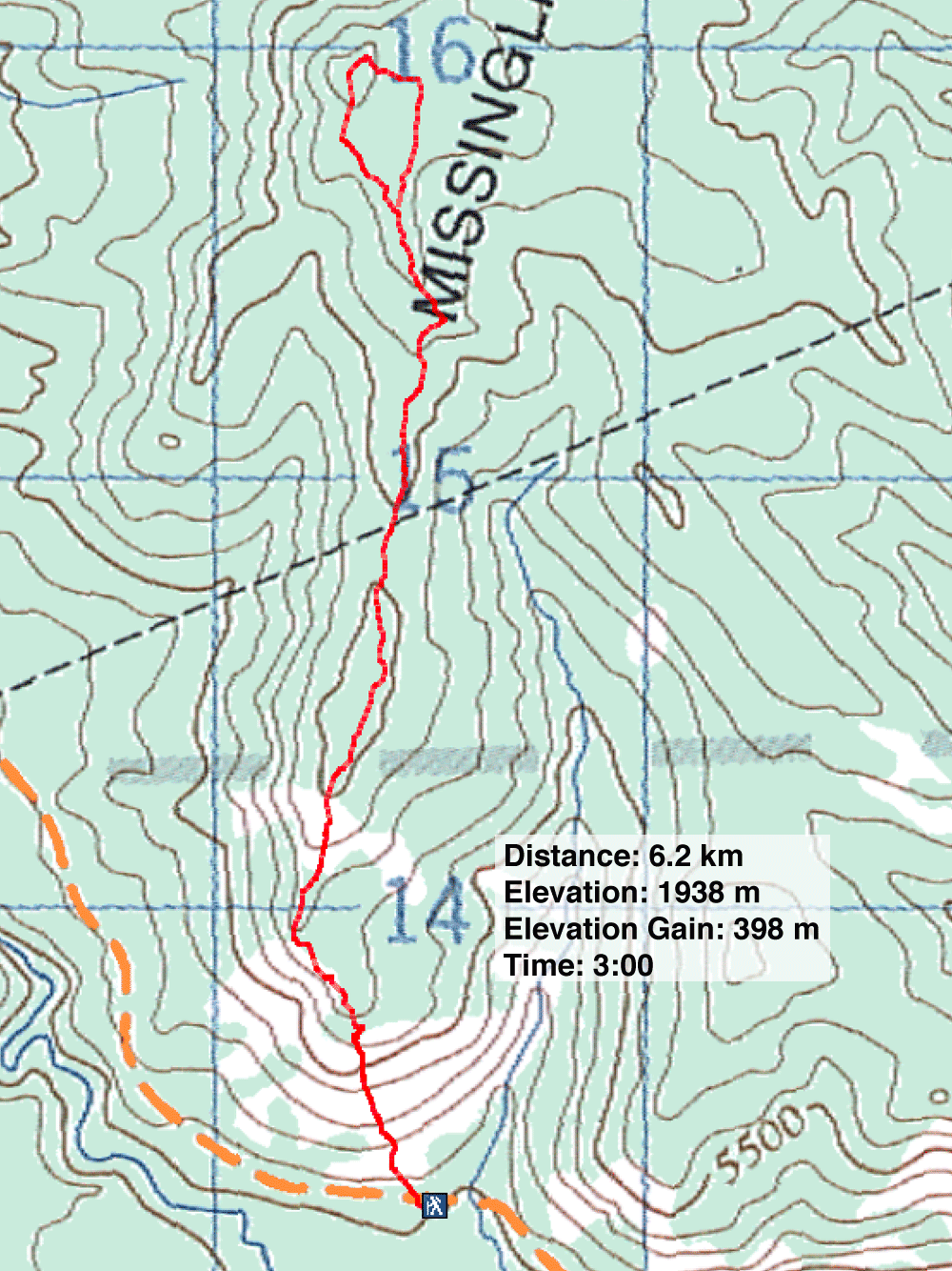
Distance: 6.2 km (3.9 mi)
Cumulative Elevation Gain: 436 m (1430 ft)
I came across Missinglink Mountain on Bivouac.com which suggested starting up the southwest ridge, Dot Mountain. We used an offtrail route up the south ridge, but we returned use the West Approach trail that appeared later in Kananaskis Country Trail Guide.
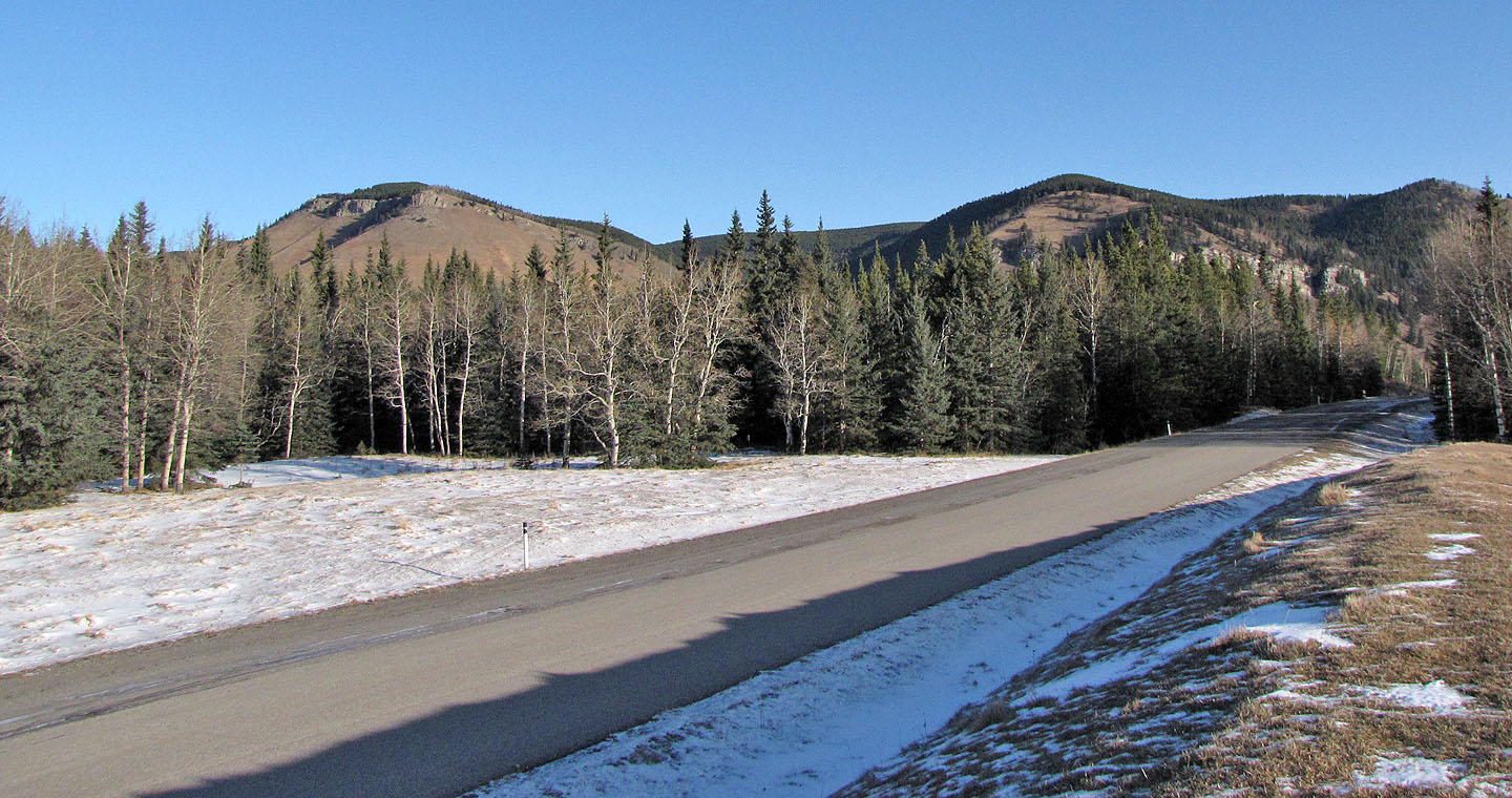
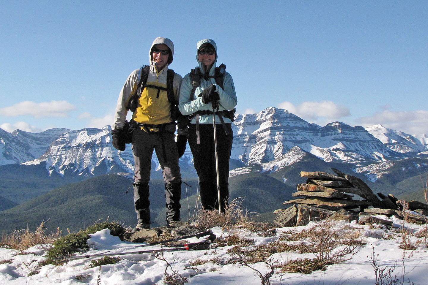
From Hwy. 546, Dinah and I drove a kilometre up Gorge Creek Trail and parked on the west side at the bottom of a grassy slope. As we started up the slope, we noticed we could keep right and walk around cliffs that capped the slope, but we chose to clamber up a chimney. We were soon on Dot Mountain.
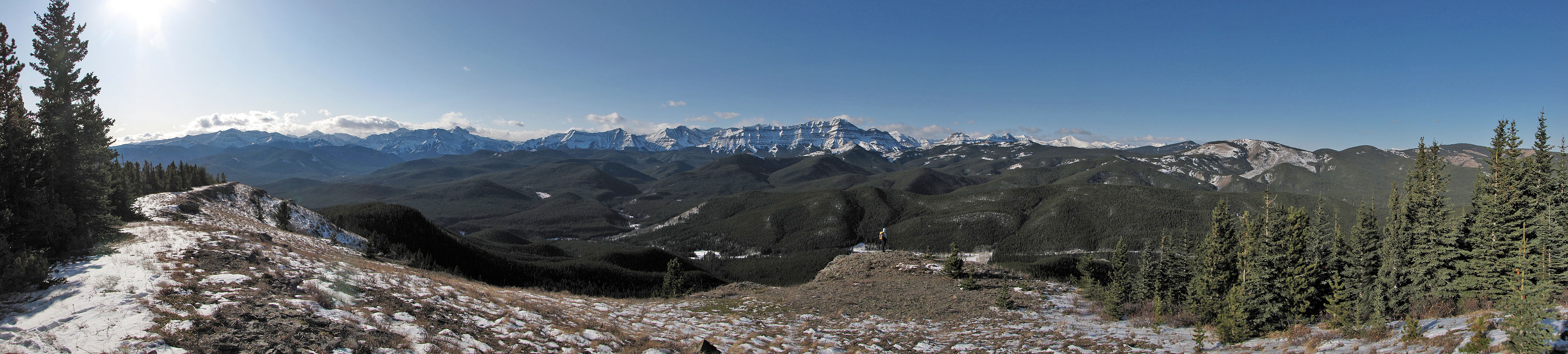
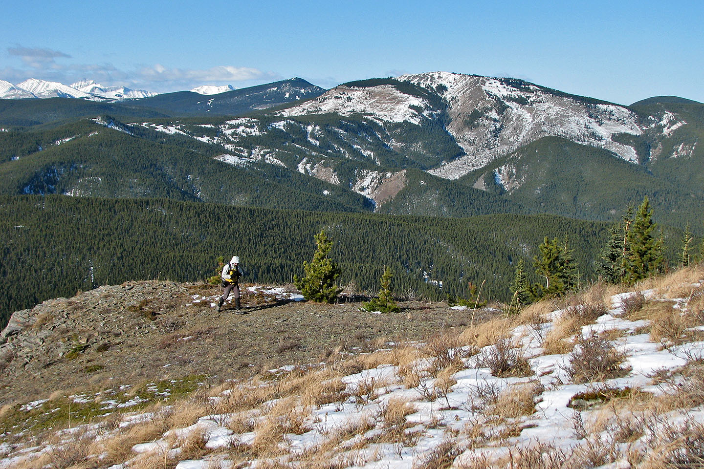
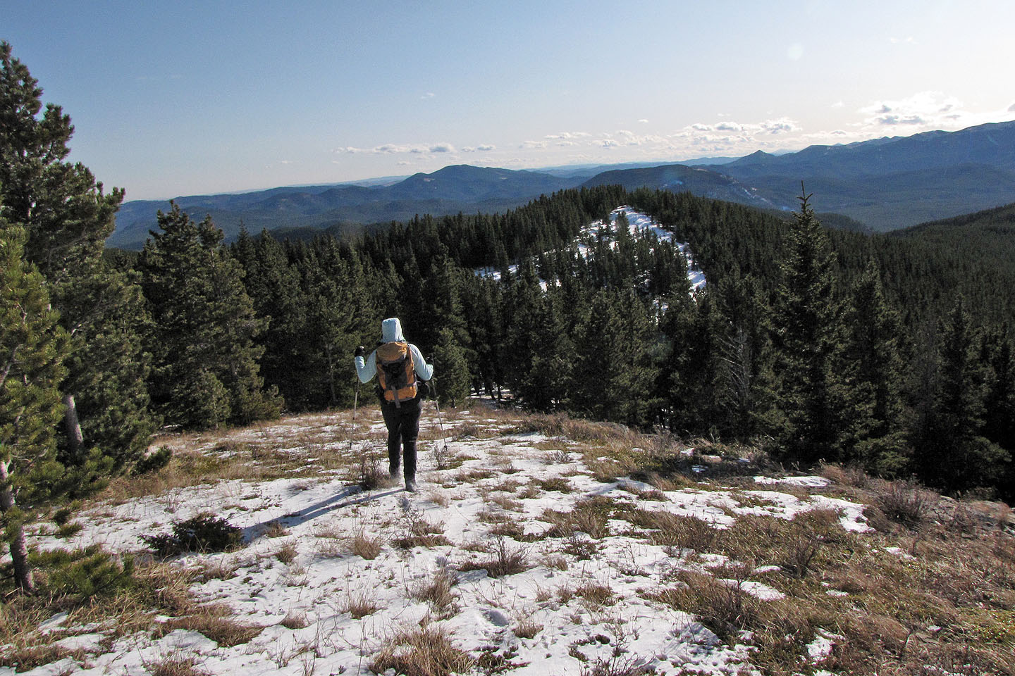
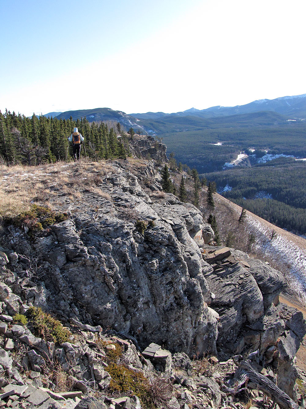
With most of the elevation gain under us, we hiked north on a path that follows the clifftop while surveying glistening, snow-covered peaks west. At the end of the cliff, the path disappeared, and we hiked on a grassy slope. For the rest of hike, we continued north, into trees, staying close to the ridge. We kept left where we found either a trail or an open slope. Only for a couple of short sections, did we do any bushwhacking, and even then there was little undergrowth.
Just before the summit, the ridge descends. Deceived by tall trees, we thought the summit was to the right. We kept right, walking through a semi-open forest. But after circling around we realized the high point was on an open ridge.
We kept our summit stay brief and then turned around. We didn't circle back but Instead headed almost directly to the last high point before the summit.
It was a nice, late-season hike. Open slopes and good trails link together nearly seamlessly all the way to the summit. Add vistas throughout, and we had a delightful half-day trip.
Postscript: A North Approach trail now runs from Gorge Creek parking lot.
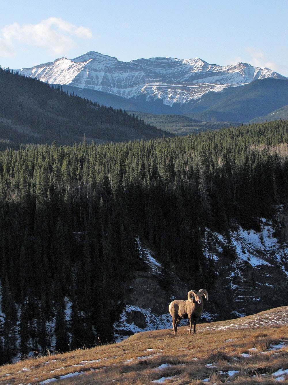
Big horn sheep seen from the highway
Dot Mountain seen from the highway (left, mouse over)
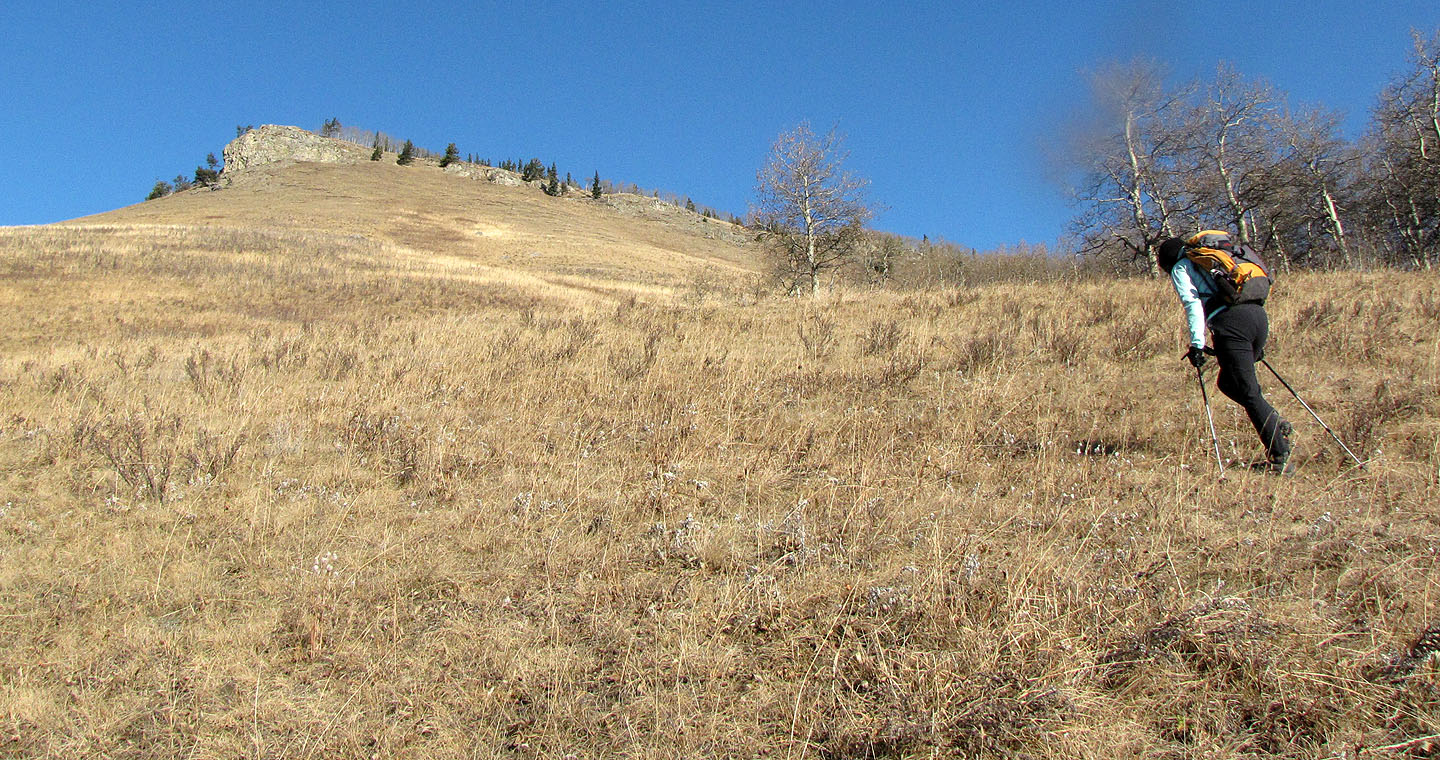
Starting up the grassy slope, we headed for the cliffs on the left
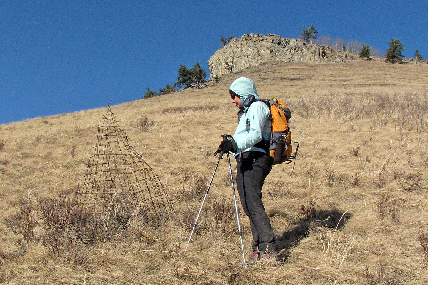
A caged plant showed no signs of trying to escape
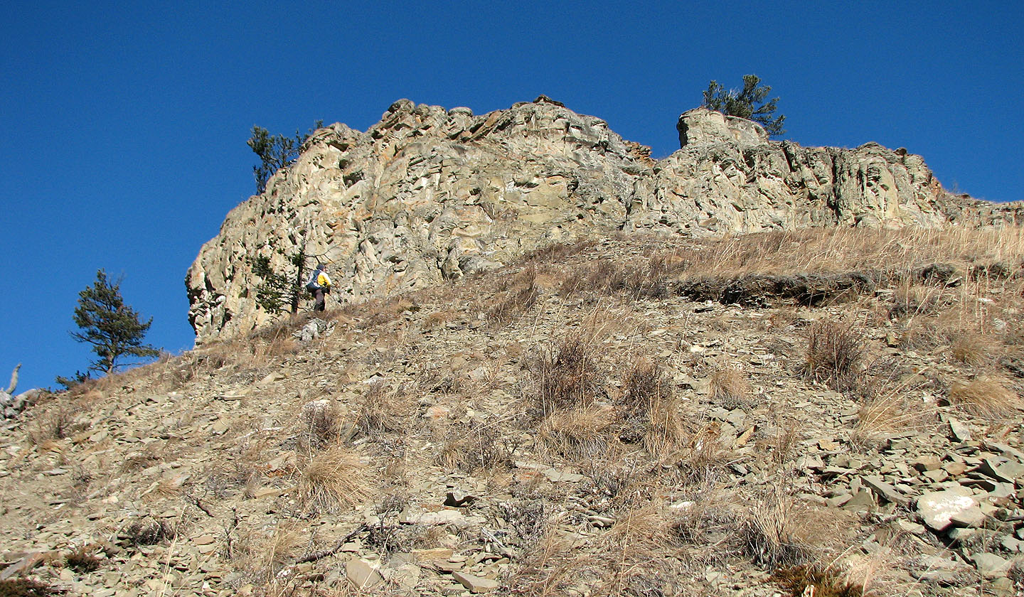
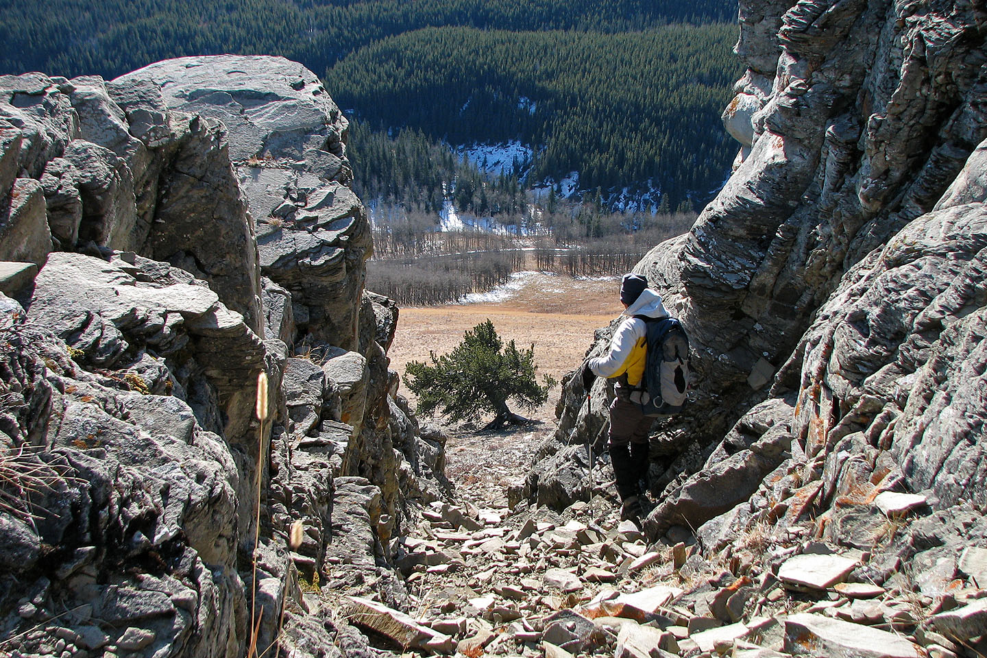
We could have walked around the right side of the cliff band, but we chose to ascend a chimney
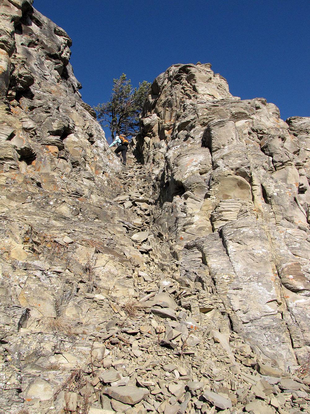
Dinah scrambles up the chimney
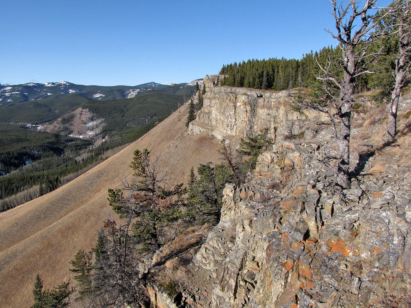
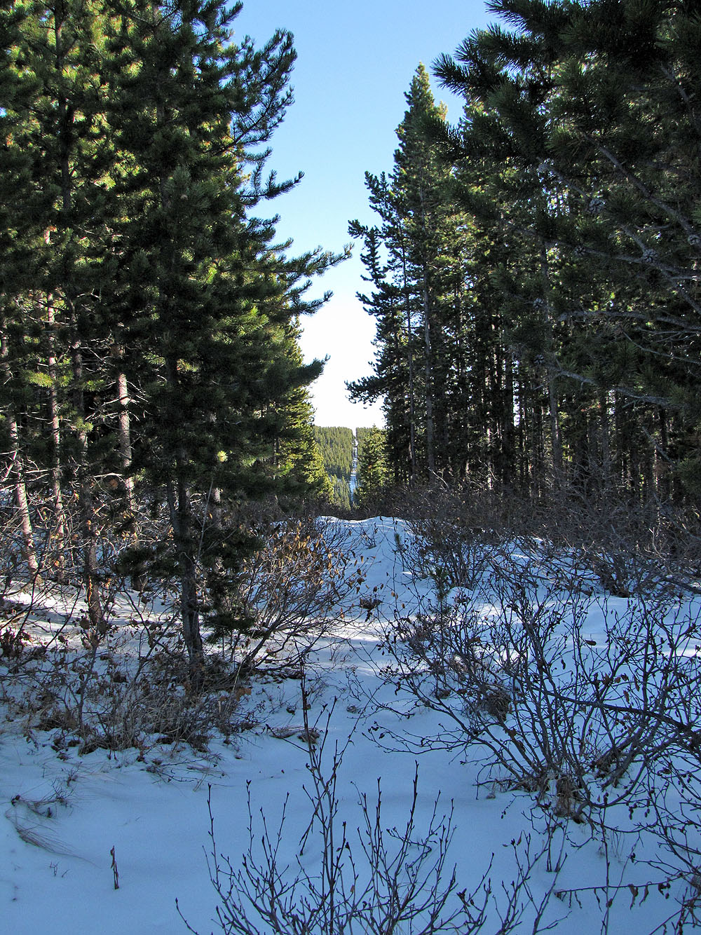
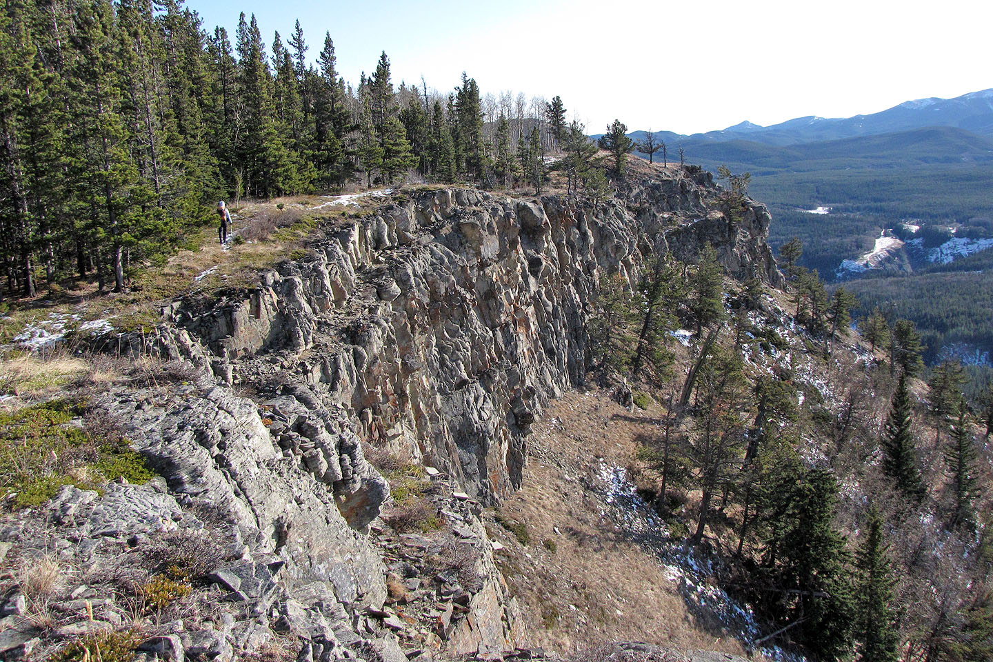
View from the clifftop on Dot Mountain: a trail follows the edge of the cliff
Hiking along the cliff edge. Mountain views include Mount Ware (mouse over).
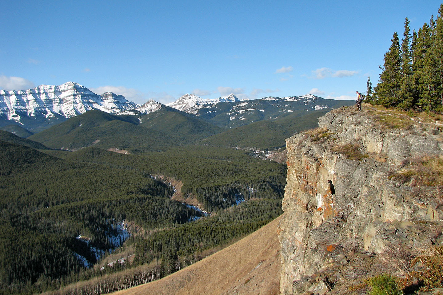
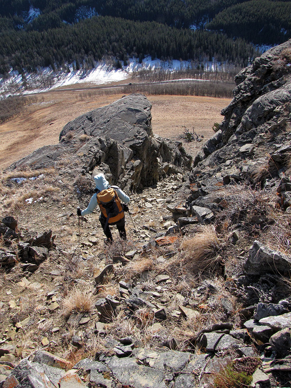
After the cliff path, we ascended an open slope. Bluerock Mountain behind (mouse over).
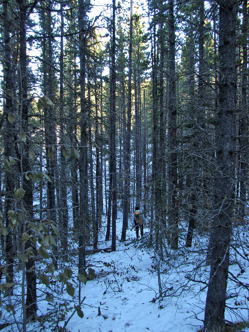
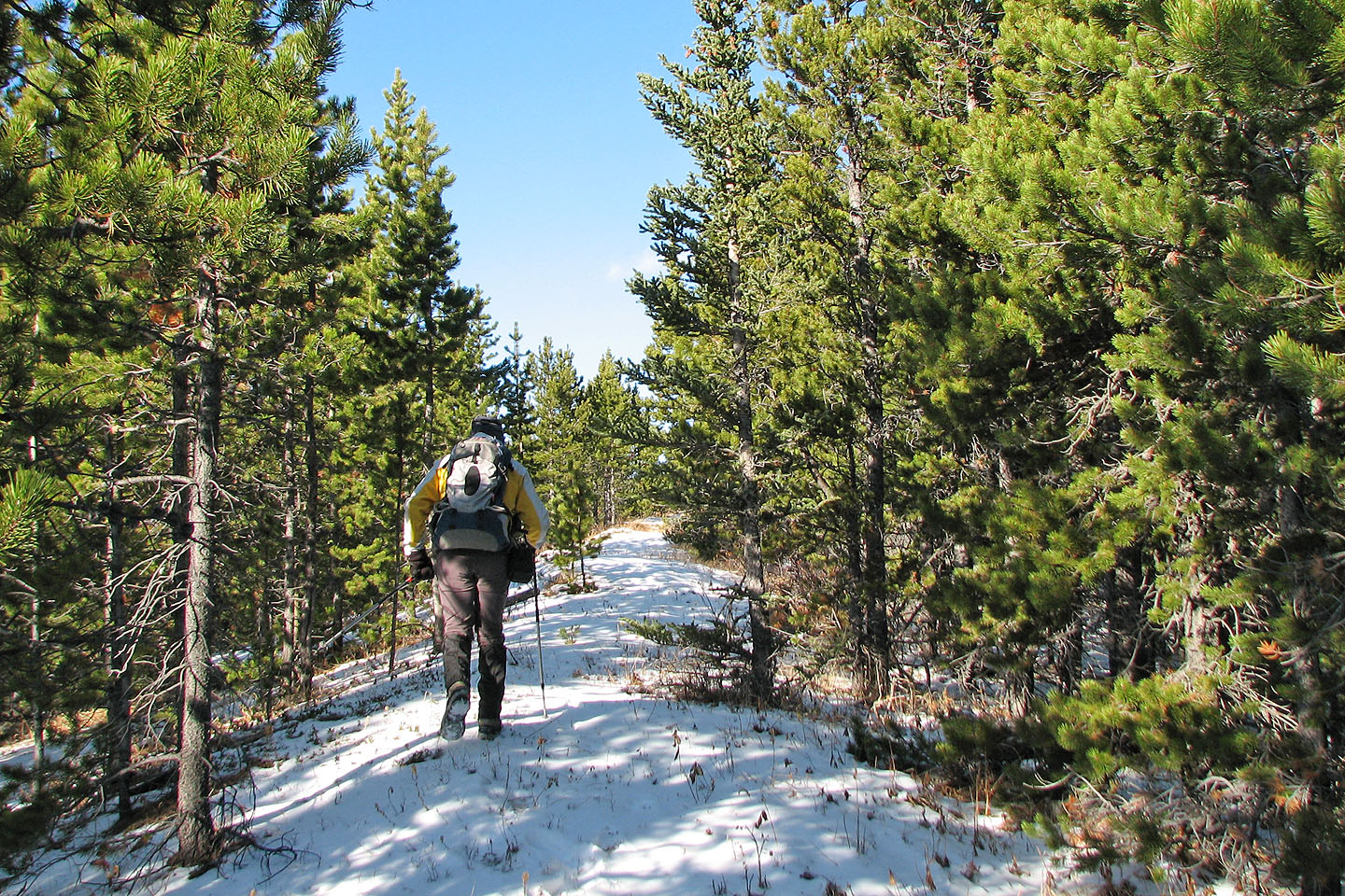
Trails in the woods provide easy navigation
On the Dot-Missinglink col, we crossed a cutline
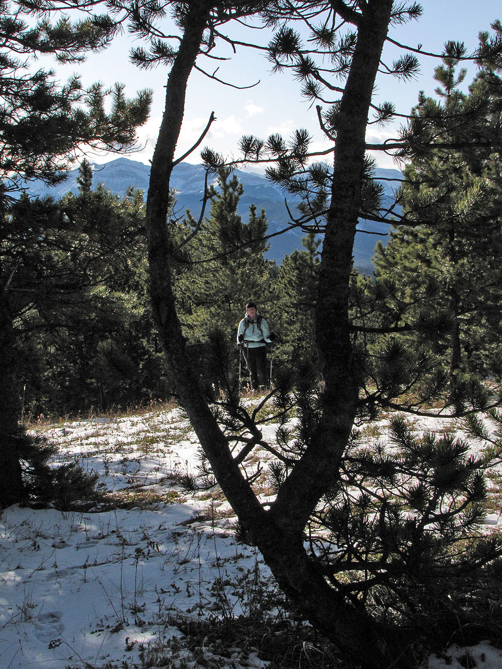
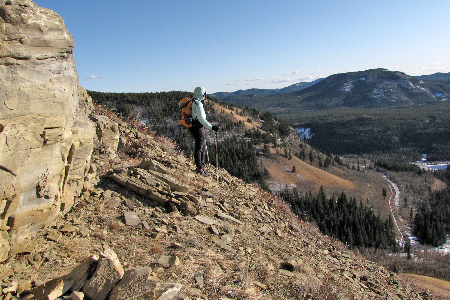
With openings on the ridge, we were never in trees for long
For the most part, we stuck close to the ridge
Just before the bare summit (centre left) we had to drop down
On the summit

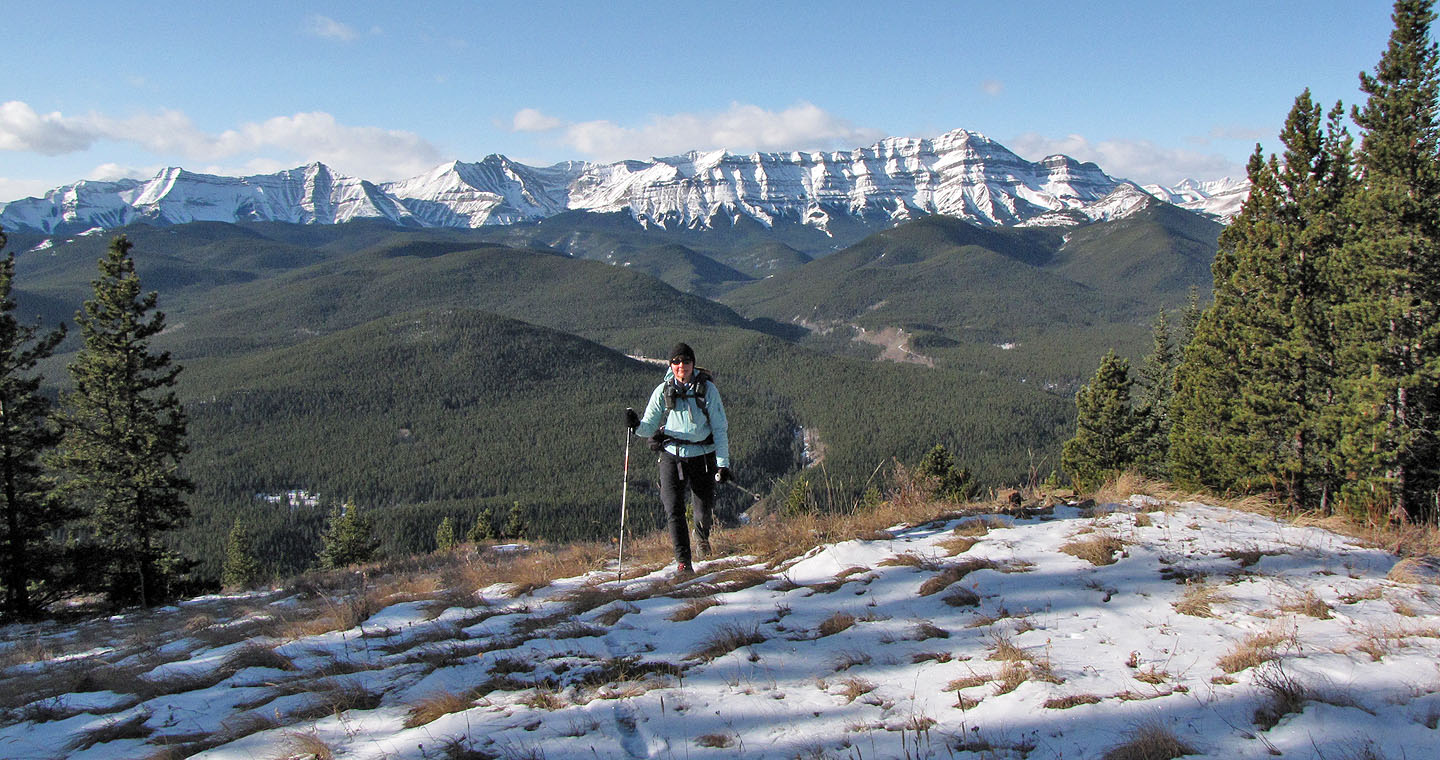
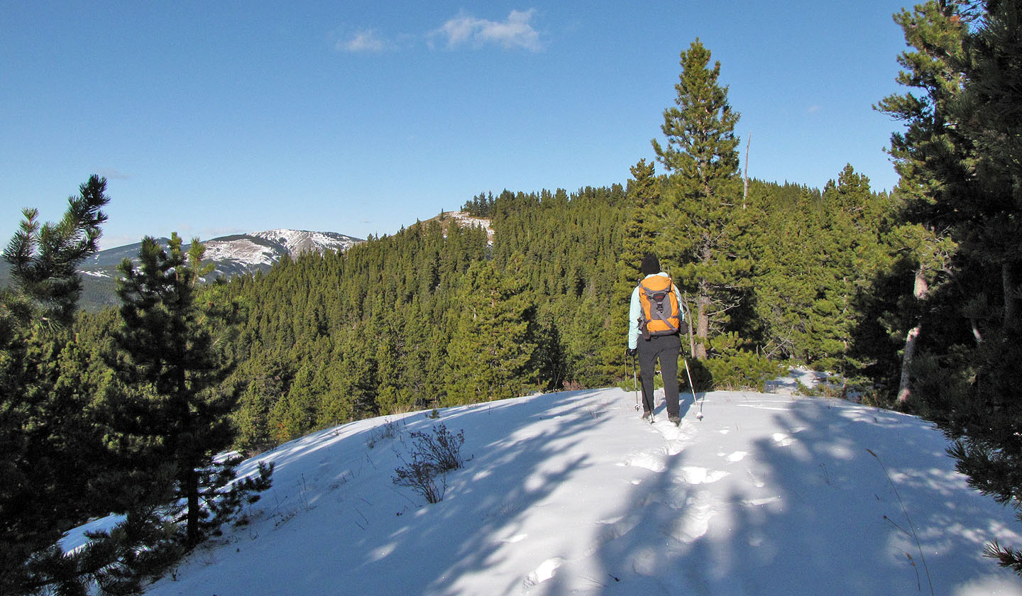
Gazing at the green hills and snow-covered peaks
Volcano Ridge in the background
Heading back along the ridge
Back at the cliffs
Following a snow-covered path
Going down the chimney. Below is our car on the road.
Down the chimney
Green Mountain on the right
82 J/10 Mount Rae