bobspirko.ca | Home | Canada Trips | US Trips | Hiking | Snowshoeing | MAP | About
Racehorse Creek Hill
Racehorse Creek Provincial Recreation Area, Alberta
May 24, 2020
Distance: 6.2 km (3.9 mi)
Cumulative Elevation Gain: 448 m (1470 ft)
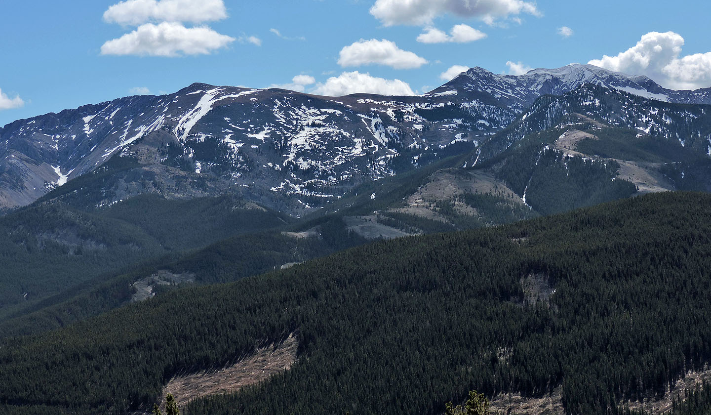
Five years ago, while searching for a way up Lightning Peak, I noticed a small mountain bearing a huge cairn. I've come across big cairns on popular peaks, but never on obscure, nameless hills like this one. I was mystified why this monticule would garner such reverence. But the setting appeared alluring: the impressive cliff on which the cairn sat commanded a valley, a grand viewpoint. Later I learned Matt Clay named it Racehorse Creek Hill.
Focusing on climbing Lightning Peak, I forgot about the mountain with the curious cairn until recently, while browsing through my photos. I quickly determined where it was on a map – the confluence of Racehorse Creek and Vicary Creek – and devised a loop route. From Highway 40, we could climb the south ridge, tag the summit, and descend the east ridge. The descent then turns to follow a south-bearing ridge that almost reaches the highway. A 600-metre saunter back along the highway completes the loop.
Our route differs from Alltrails which ascends the forested southwest ridge and descends the open south ridge. Our route eliminates a lot of bushwhacking by taking advantage of both the open south ridge and open east ridge, a route that appears obvious when studying the topography.
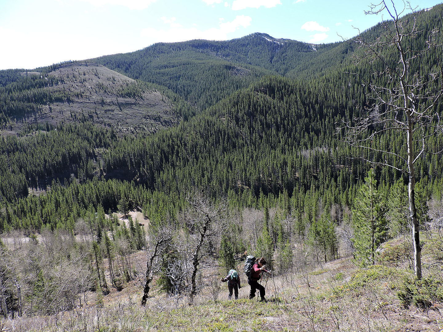
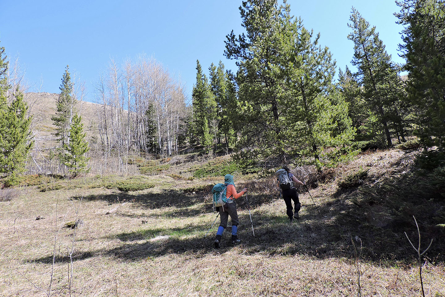
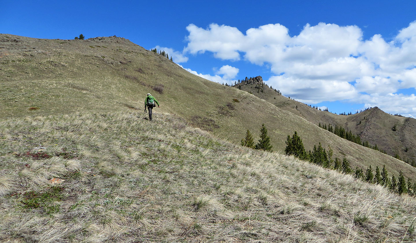
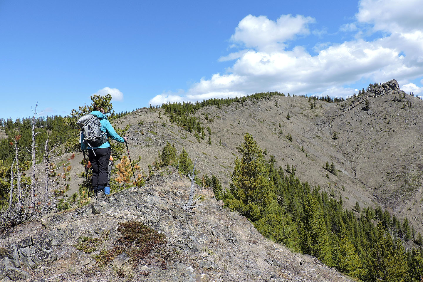
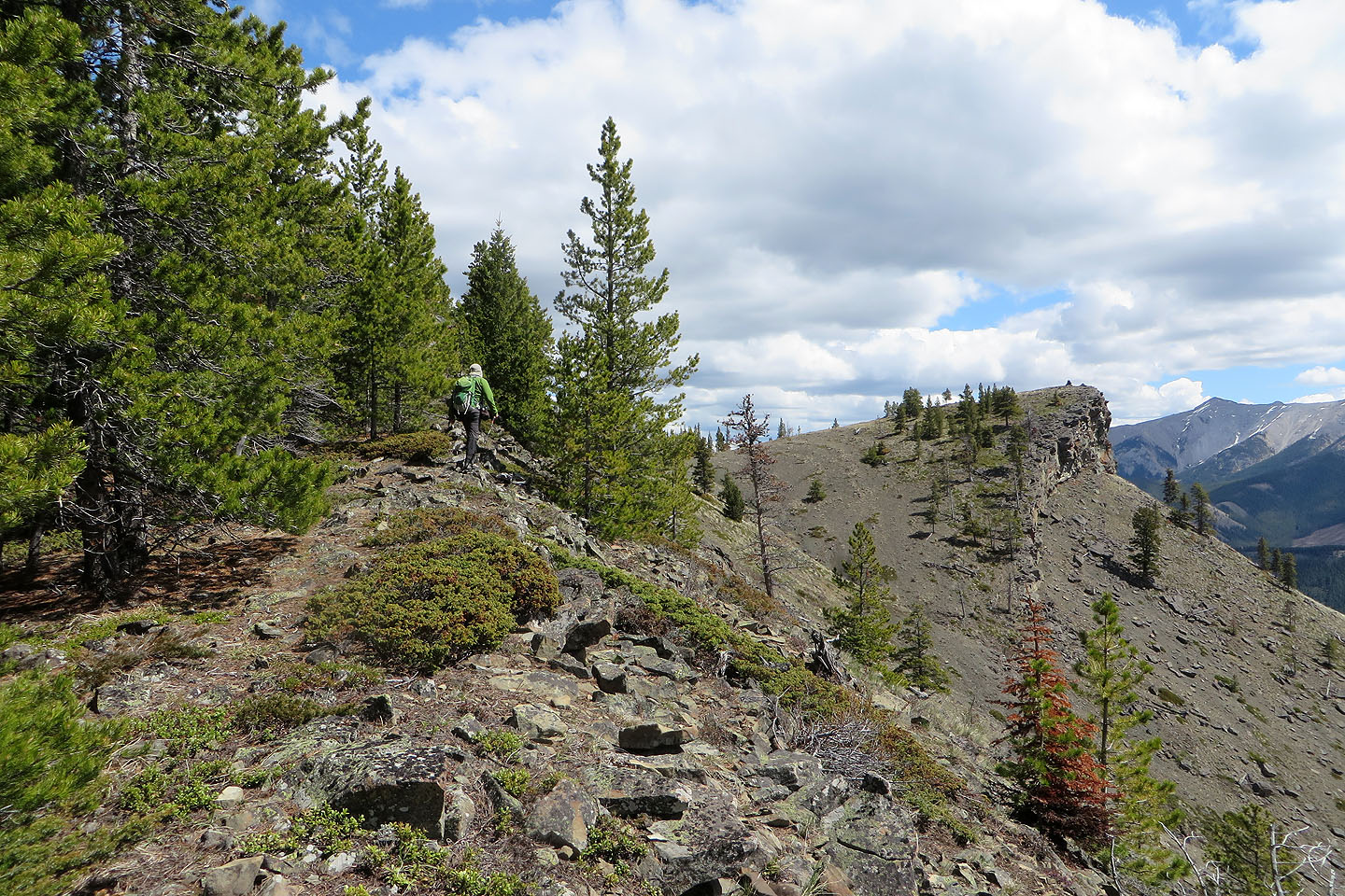
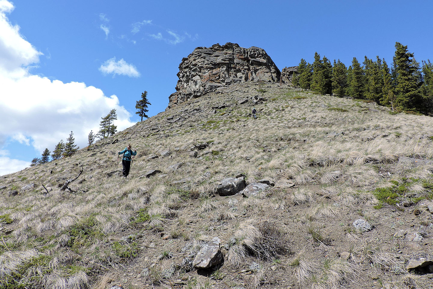
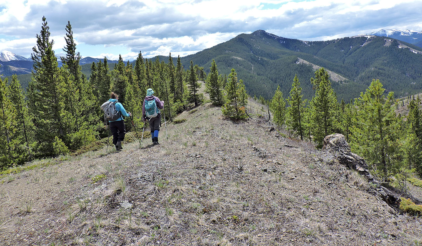
From a camping area, Renata, Dinah and I started up a steep slope to gain the south ridge. To our surprise, we found a well-defined crest trail. But the trail soon turned left, so we forged ahead on a faint path. After the trail disappeared in a valley, we turned right to regain the ridge.
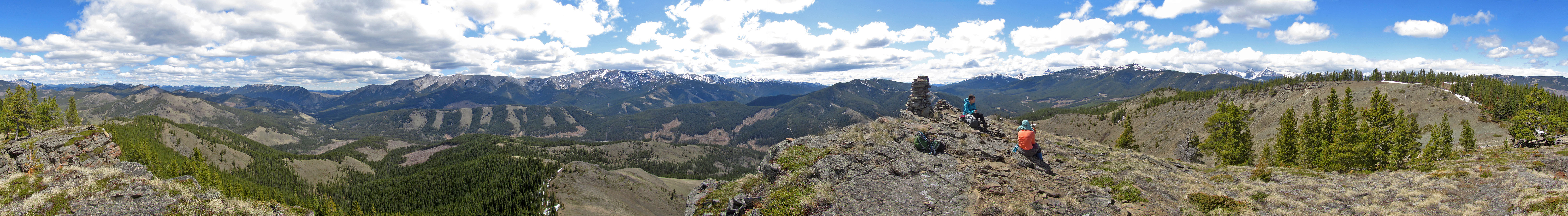
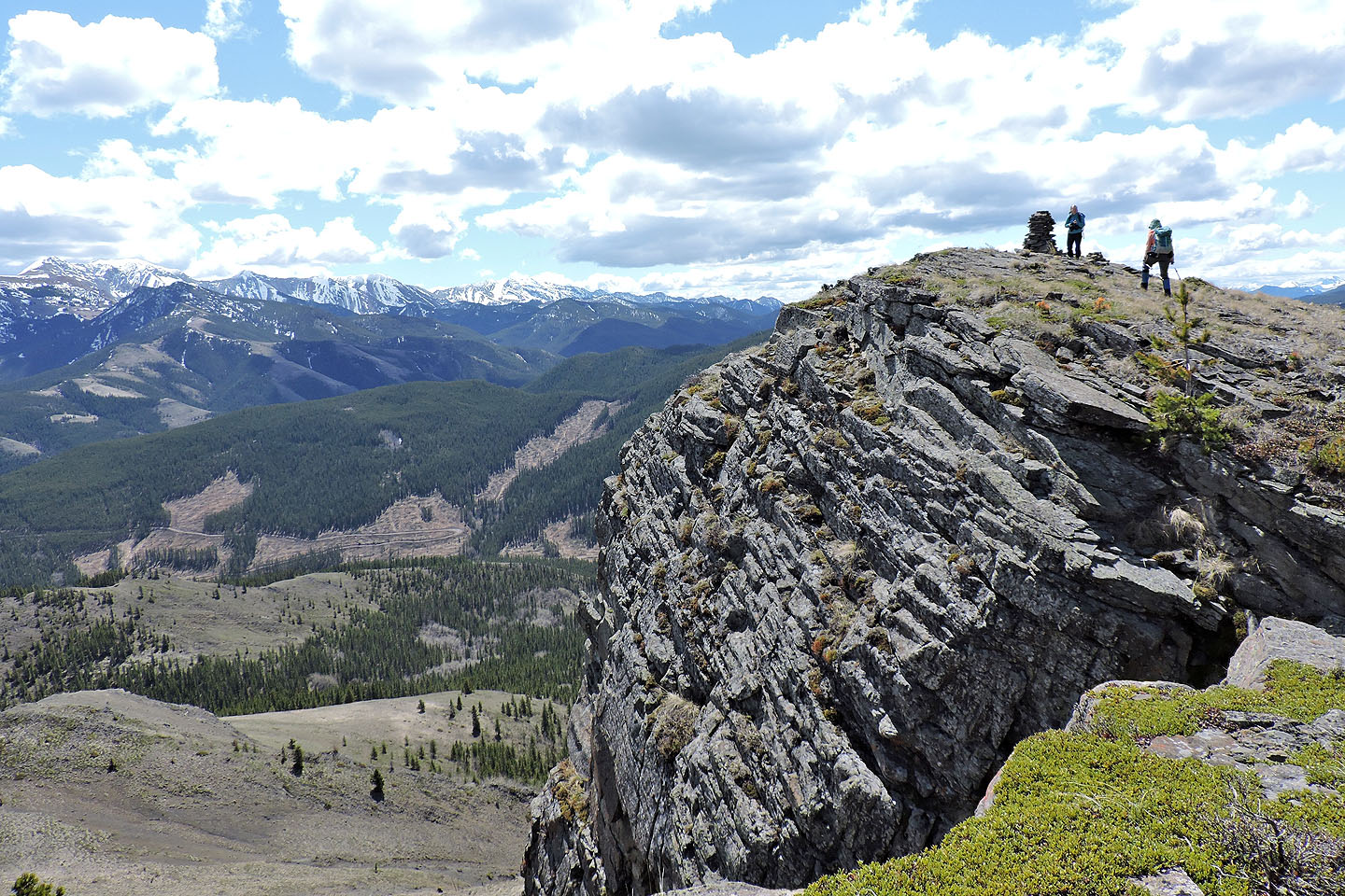
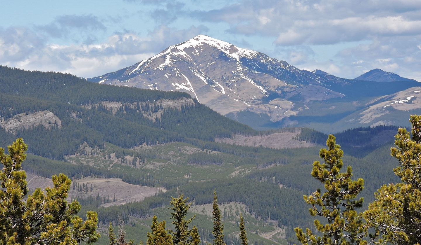
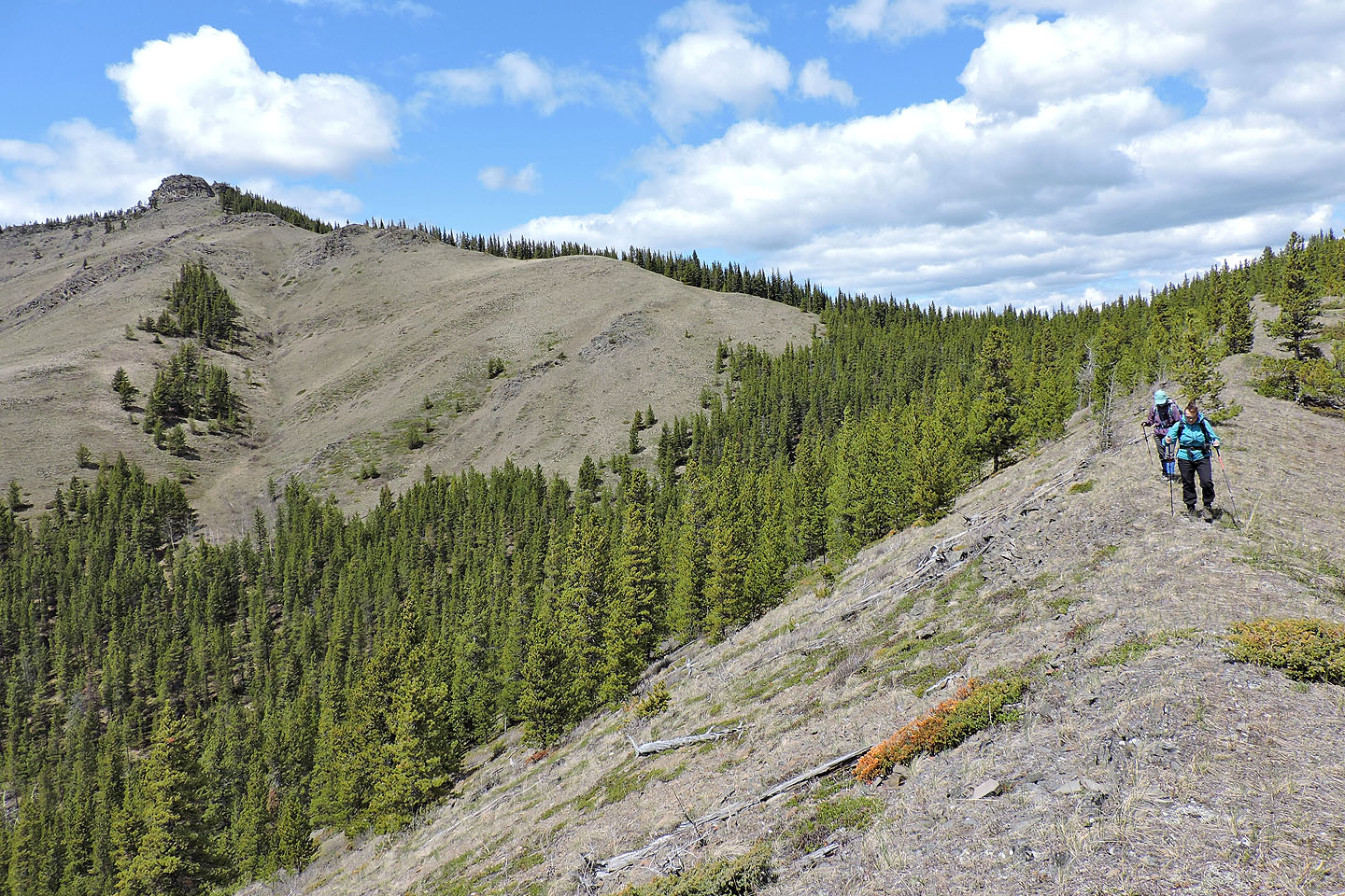
We soon left the forest behind and climbed a grassy slope to the ridge crest. Although we were halfway up the mountain, we had an incredible panoramic view. On our right, Thunder Mountain appeared dry, but snow still lingered on Lightning Peak. Closer at hand, we could see the cliff bearing the cairn on the east ridge. But first, we headed to the summit.
It bore a tiny cairn, but trees limited the views, so without pause, we headed to the big cairn on the cliff. The clifftop – one could call it the east summit – was only four metres lower than the uninspiring west summit, but it offered splendid views.
Aside from the big cairn, there were two small, subsidiary cairns. Another pile of rocks appeared to be a cairn, but on close inspection, was a fire pit. We sat down next to the big cairn and had lunch.
Enjoying good weather and far-ranging scenery, it was a blissful setting. Then I spied a tick crawling on me, and the summit spell was broken. We hurriedly evacuated the cliff, but not before finding two more ticks on me.
(This peak is a tick haven. I discovered four more by the time I got back to our car. On the drive back to Calgary, Renata found three on her. I discovered one more when I got home, fastened to my stomach. I gently removed it with tweezers. How it got there is an enigma as my shirt was tucked in, and my pant legs shoved into my socks. It appeared to be a wood tick and not the dreaded black-legged tick that can carry Lyme disease.)
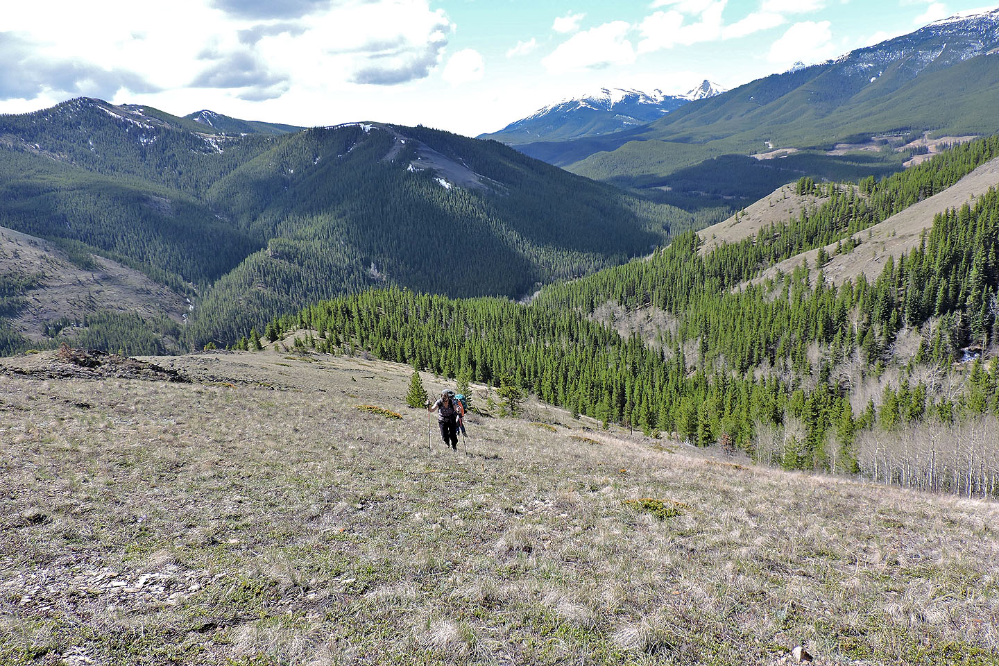
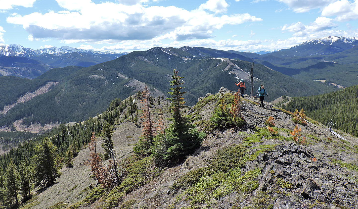
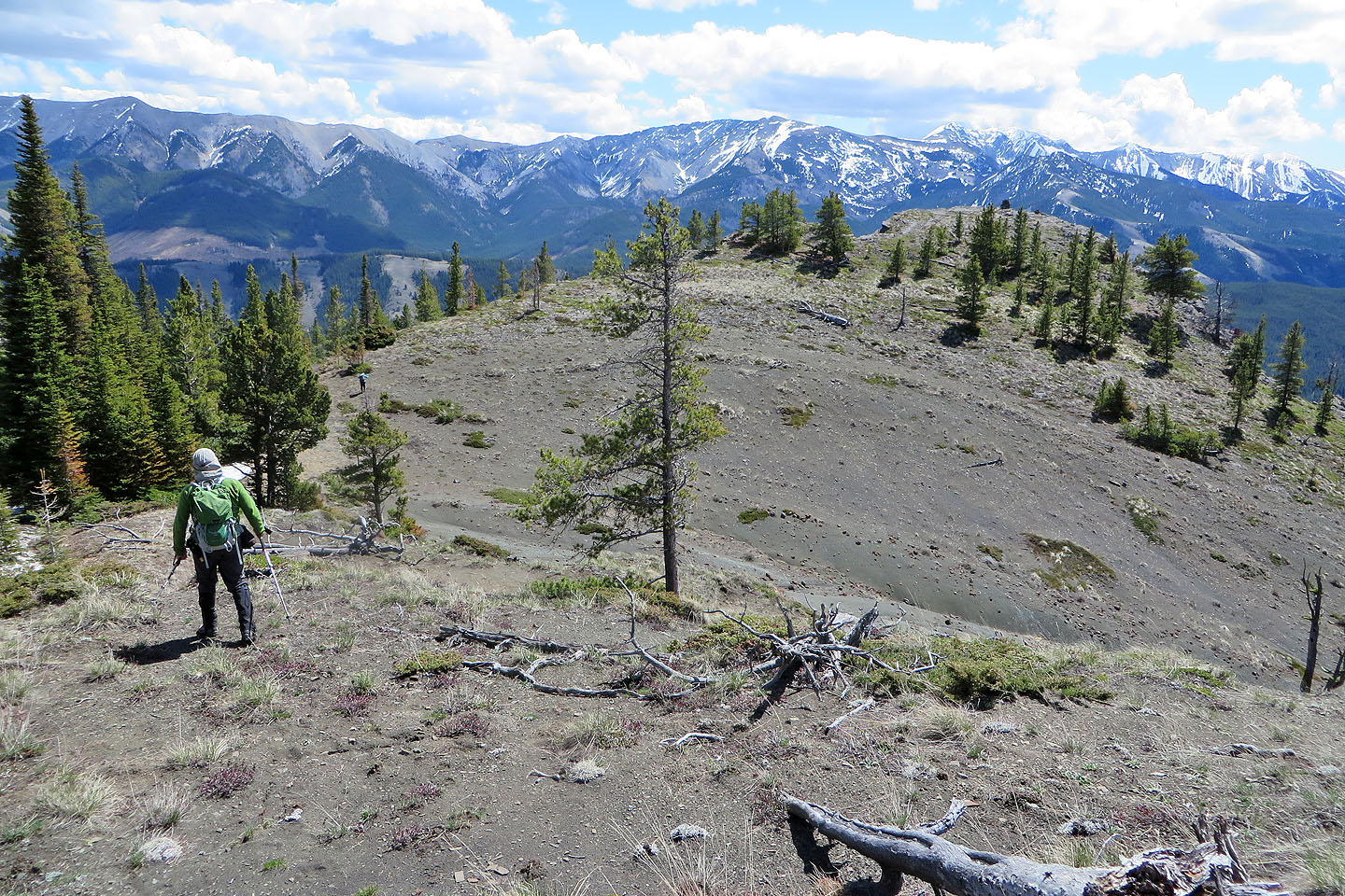
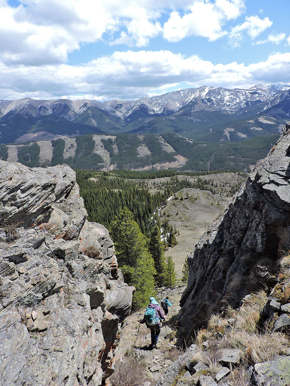
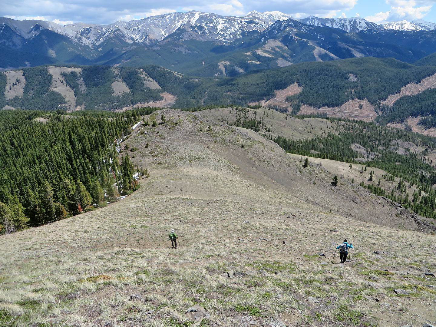
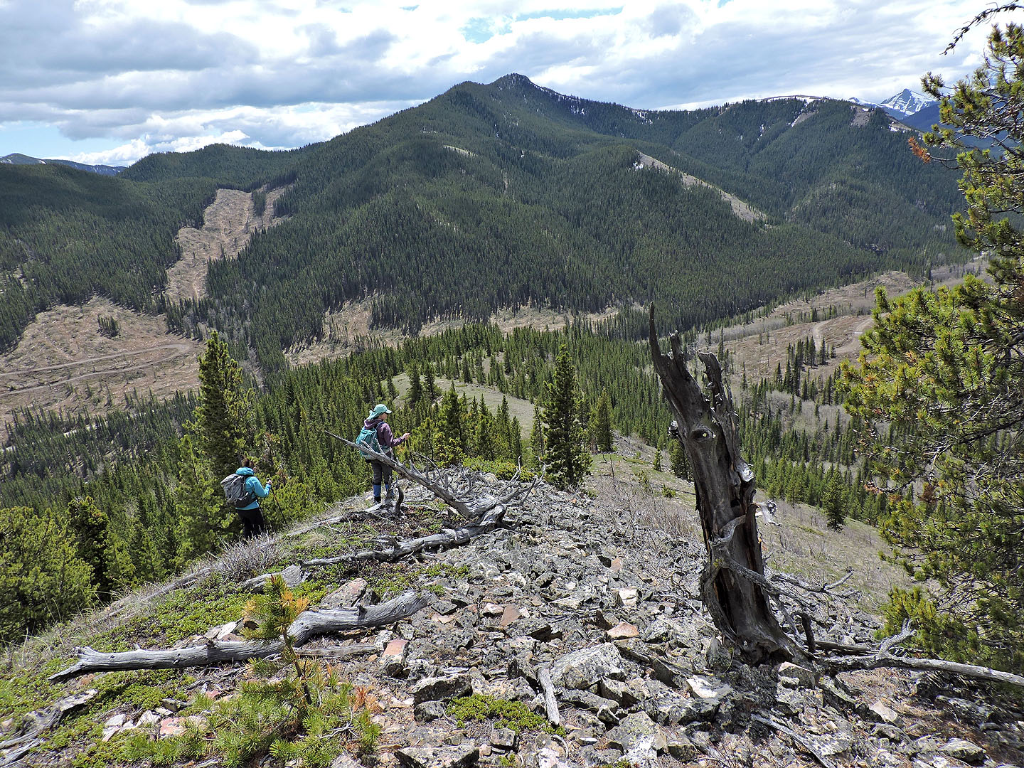
To reach the grassy east ridge, we hiked down a steep chute that bisects the cliff on the east side. Continuing down, we traversed a couple of bumps, dipped into a forest briefly and climbed onto the south ridge. This kilometre-long ridge, open and gentle, ends near Highway 40. At the end of the ridge, we dropped down into trees and crossed a stream.
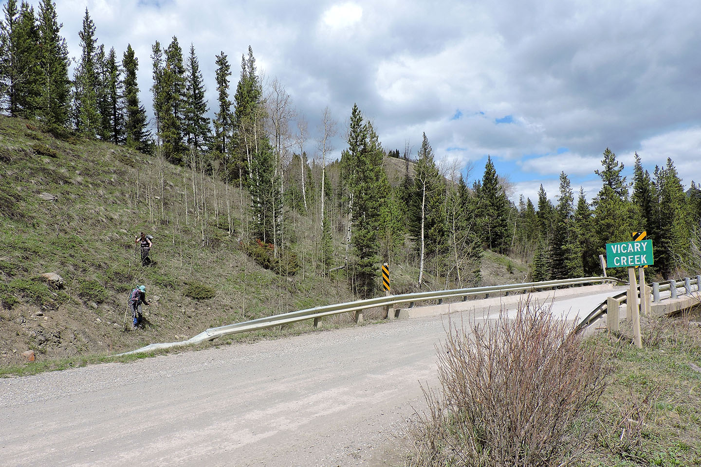
We were less than 100 metres from the highway, but stopping us were the raging waters of Vicary Creek. But conveniently, a bridge crosses the creek just 150 m away. However, that short stretch along the bank of Vicary Creek – boggy, bushy and full of deadfall – was the worst section of our trip. Once we reached the highway, we walked back to our cars.
Aside from establishing a sound route that takes advantage of open ridges, I learned nothing about the mountain. I found no summit register, so it remains a mystery as to who built the cairns.
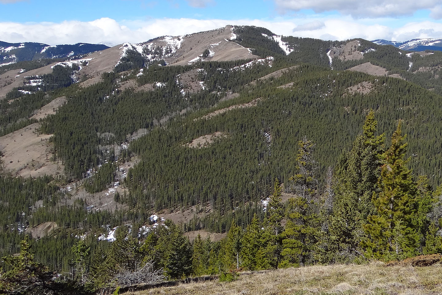
Racehorse Creek Hill seen from my recon in 2015. Mouse over to view the cliff and big cairn.
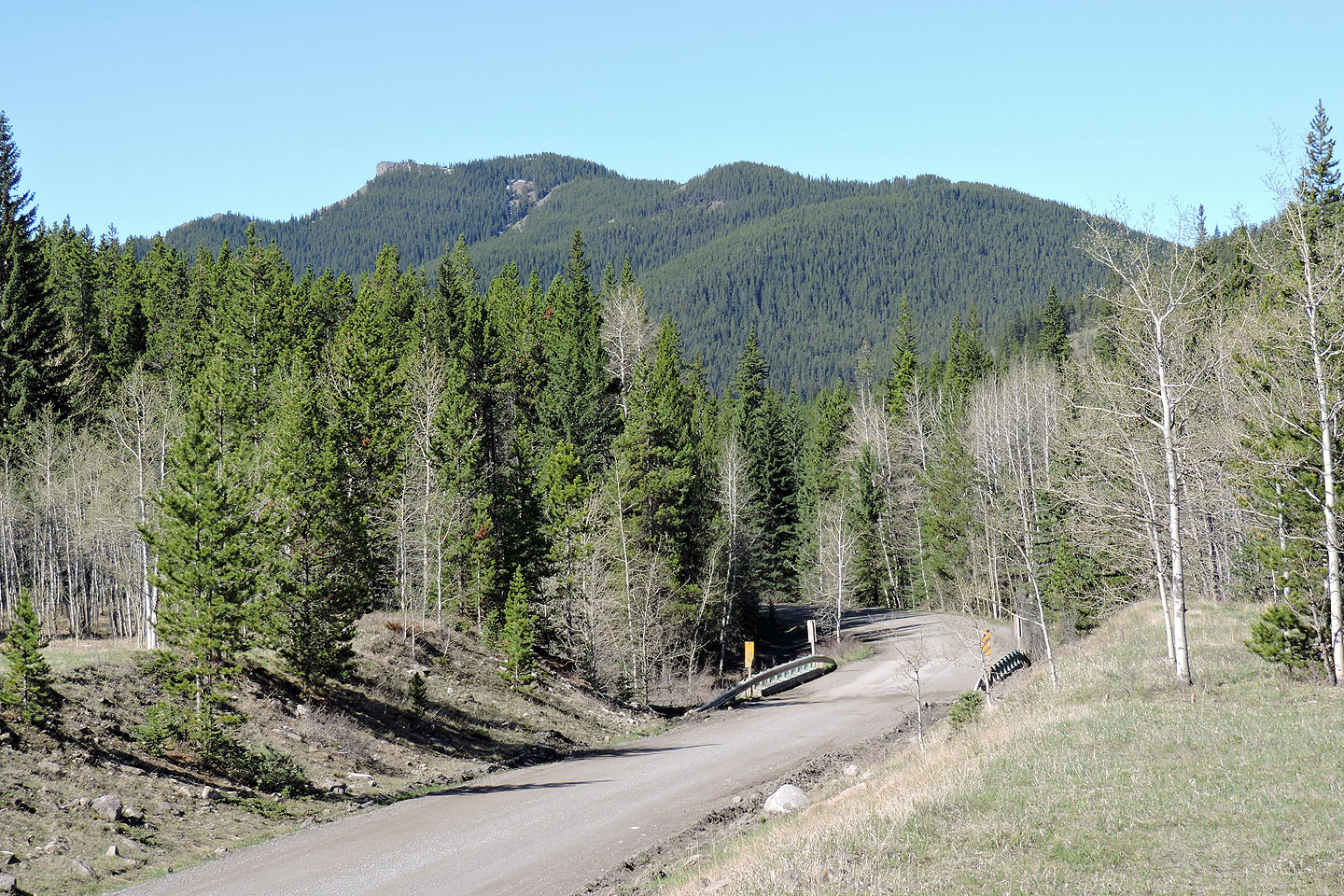
Mystery Cairn seen from Highway 40
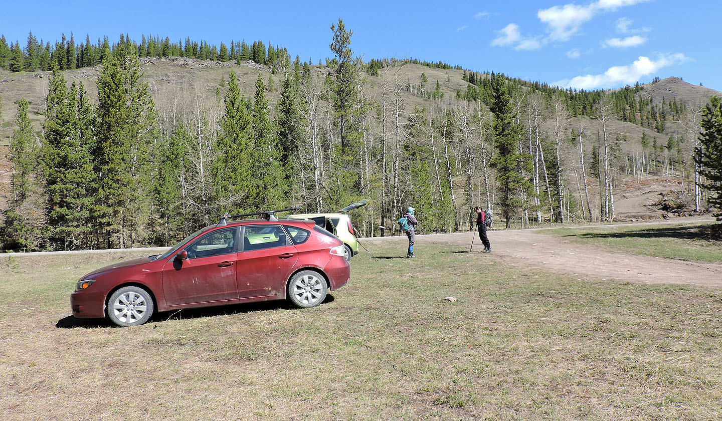
From the parking area, we climbed the ridge in front of us
Looking back after reaching the ridge crest
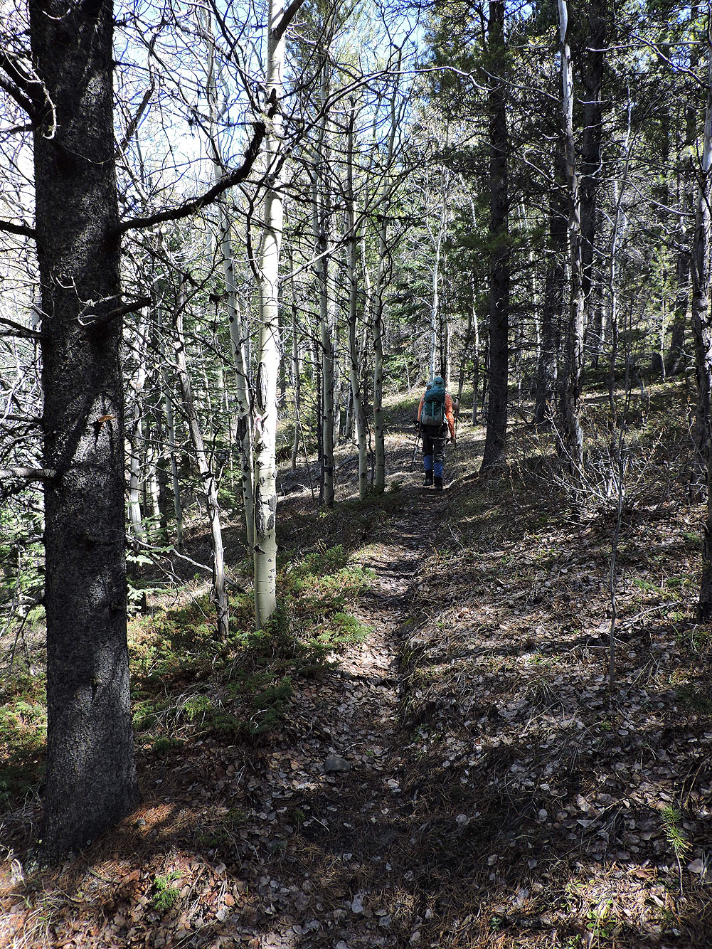
The ridge crest trail
Following trails, we came to a valley and regained the ridge on our right
Coming up to the ridge crest. Behind us are McGillivray Ridge and Ma Butte (mouse over for a close-up)
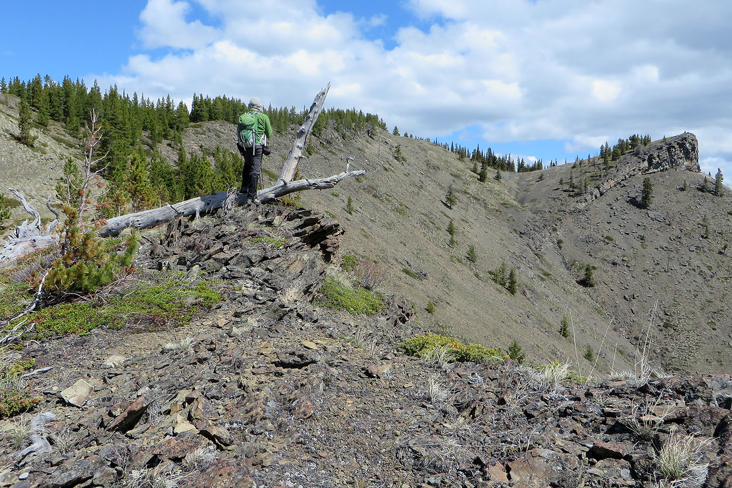
The cliff came into view along with our descent ridge
Well up the ridge
Looking back
Lightning Peak on the right
We can see the cairn on the cliff
We continued along the ridge
Looking back
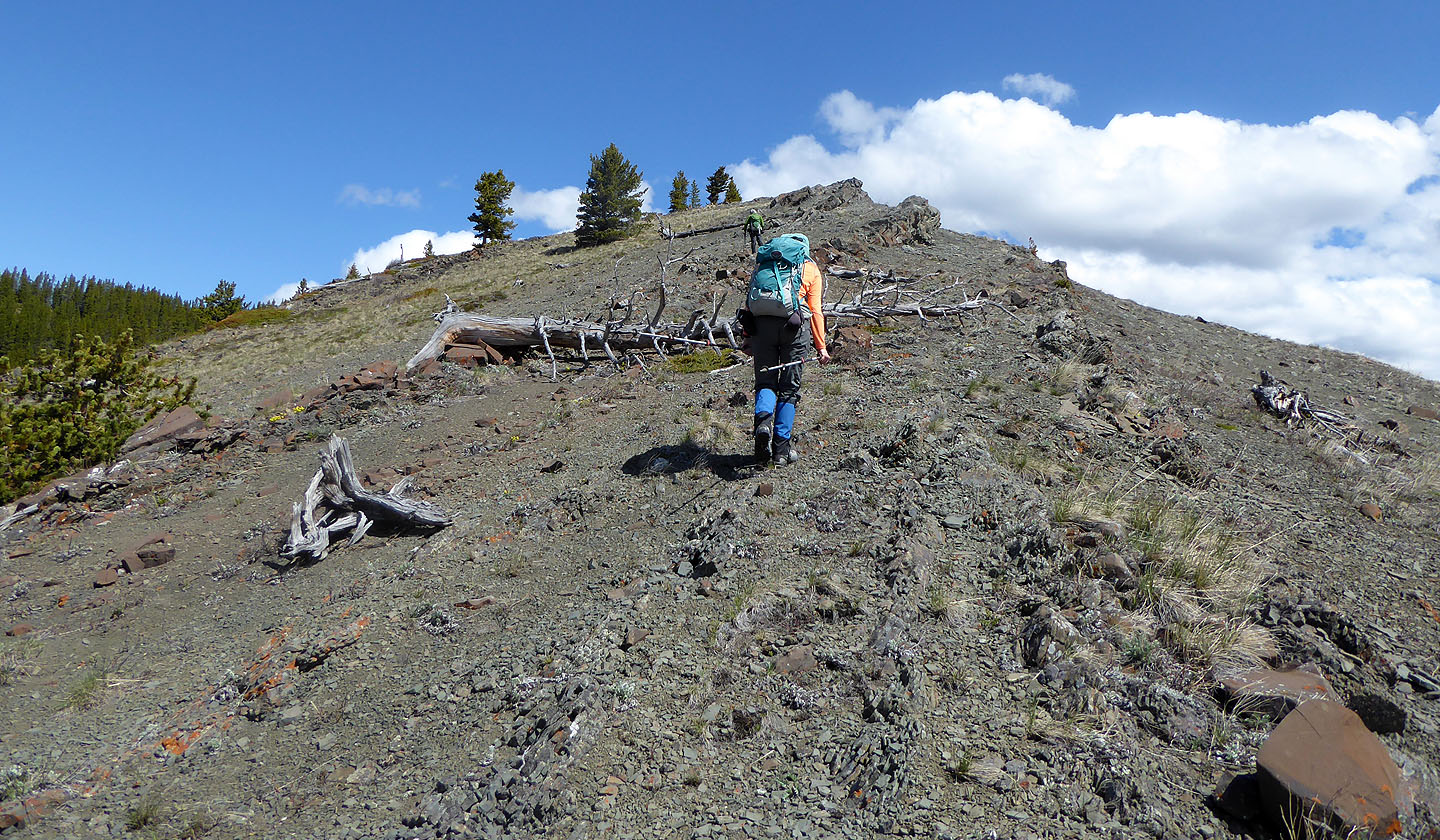
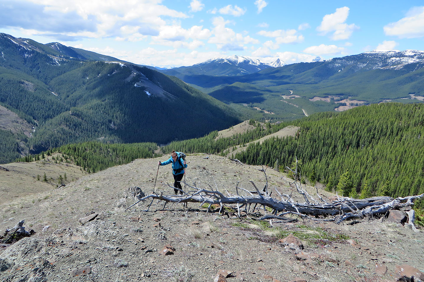
Almost at the summit
The true summit lacks any views
Heading to the cairn
Dinah joins Renata at the cairn
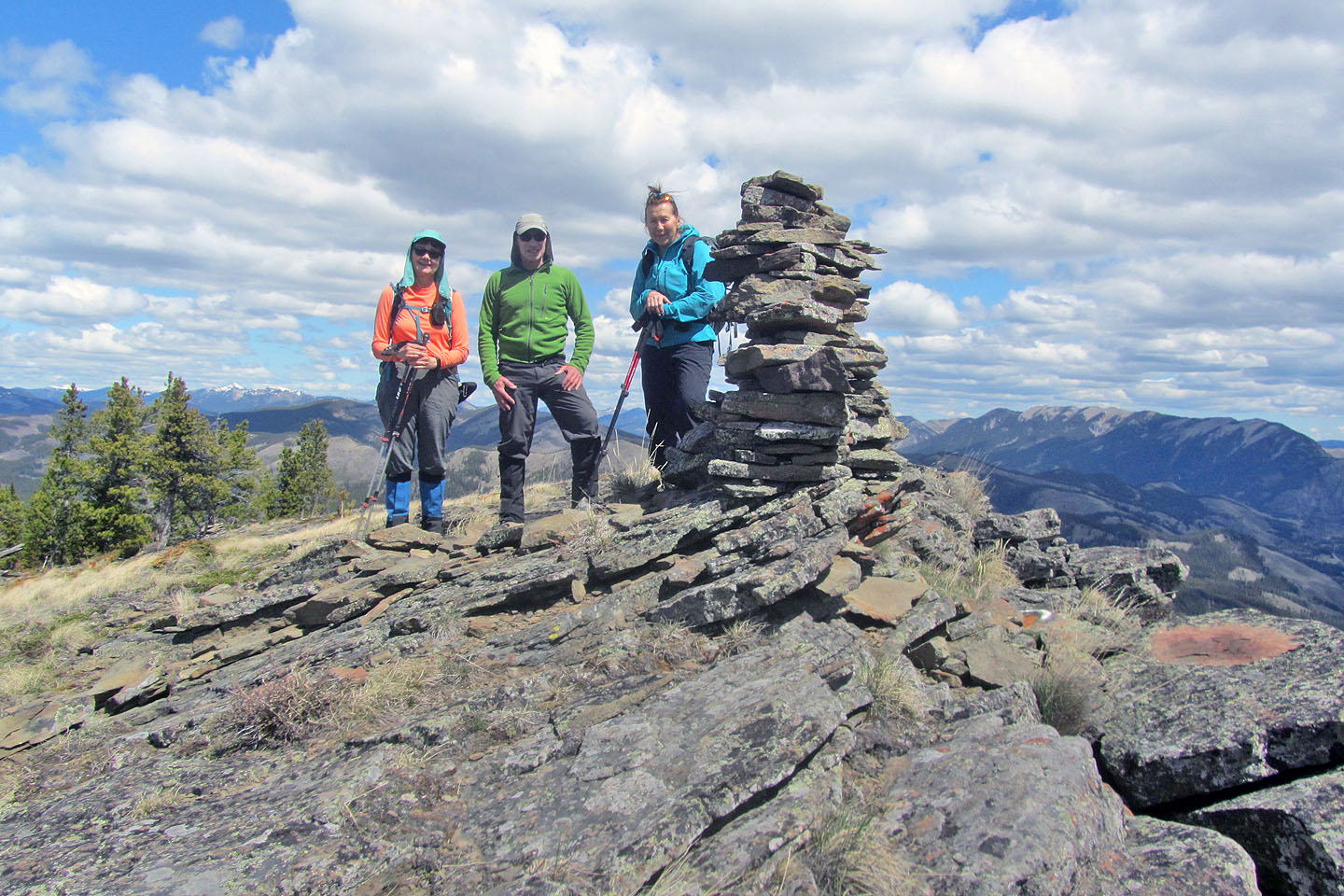
Standing next to the cairn
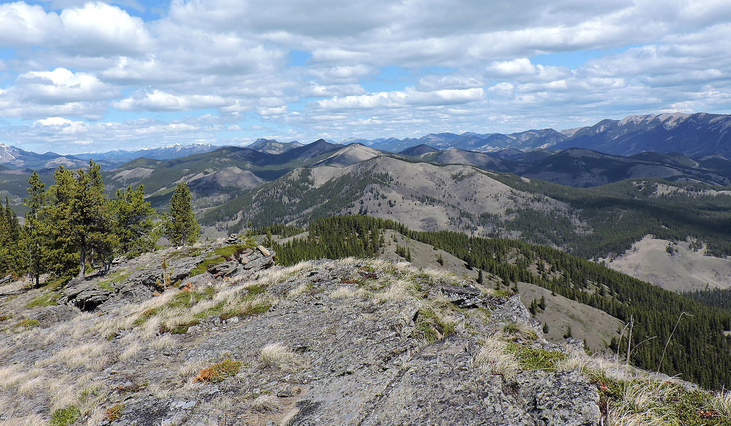
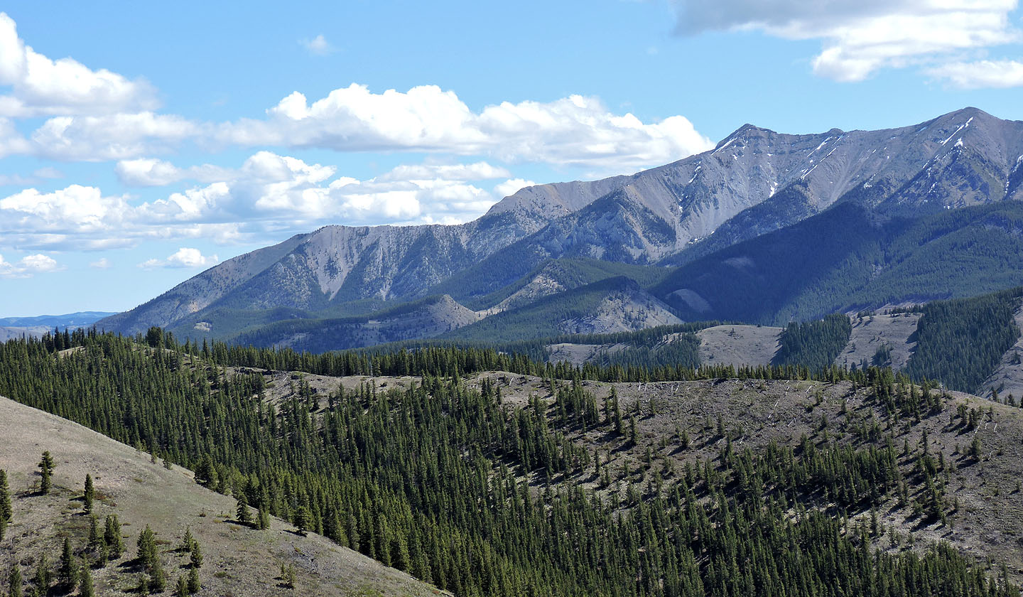
Looking north, the ridge in the centre is Horsefly Hill. Behind it is Fly Hill (mouse over)
Sugarloaf Lookout also lies north
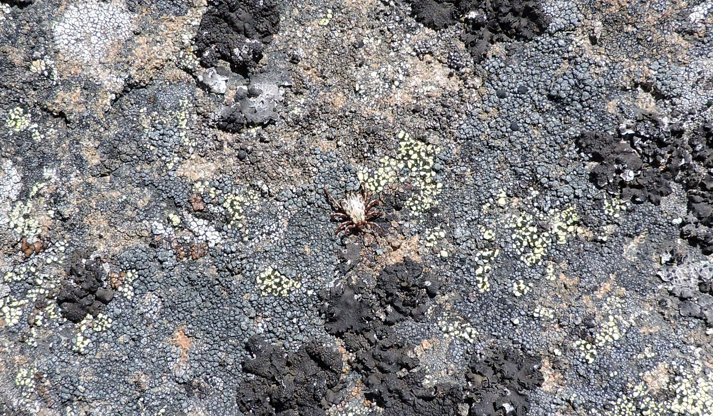
Mystery Cairn is a tick magnet
Going down the chute in the cliff
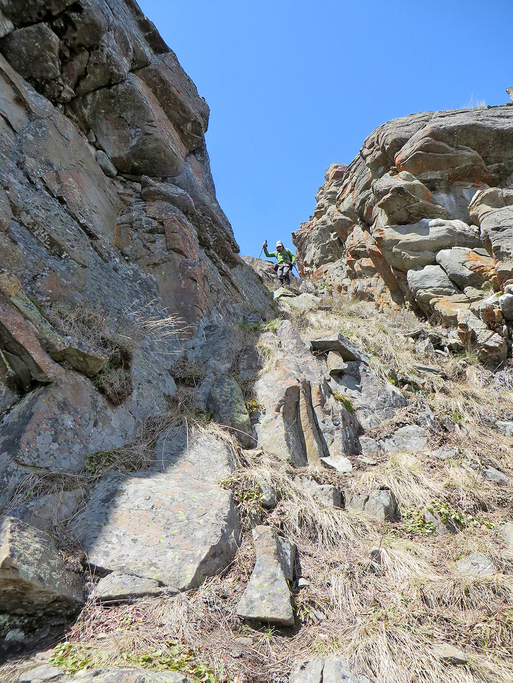
Looking up the chute
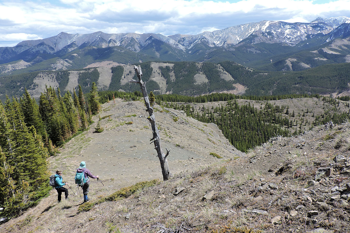
We descended the east ridge to get to the south descent ridge behind the bump ahead
Looking back at the cliff
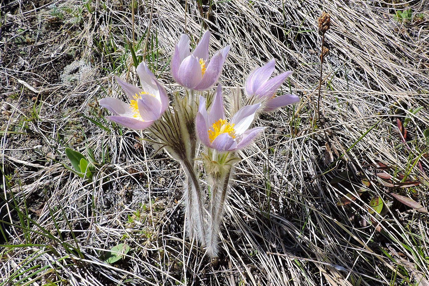
Pasqueflowers adorned the hillside
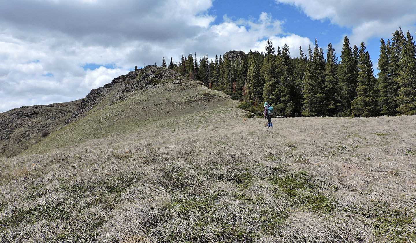
One more bump to go over before we reached the south descent ridge
Dinah turns around to look back
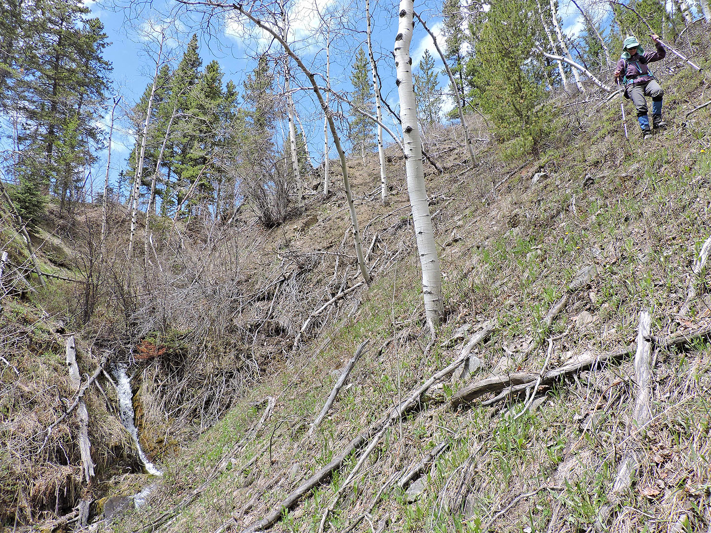
Before reaching the south ridge, we'll lose some elevation in the trees
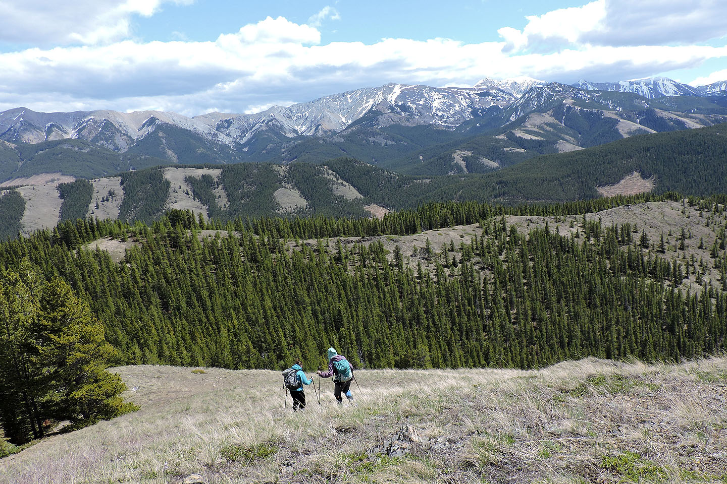
The south descent ridge was a long, pleasant stroll
The cliff remained in view throughout most of our descent
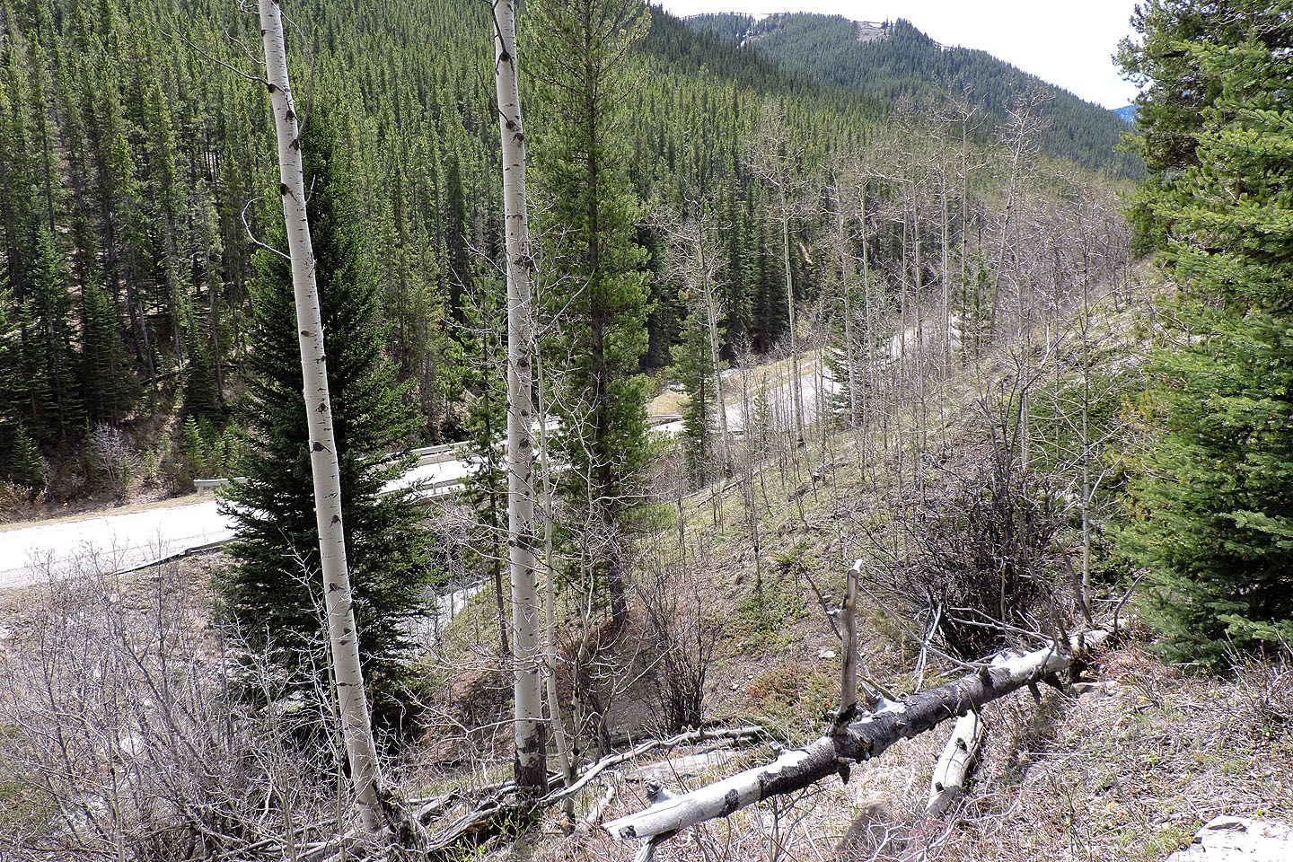
Highway 40 came into view
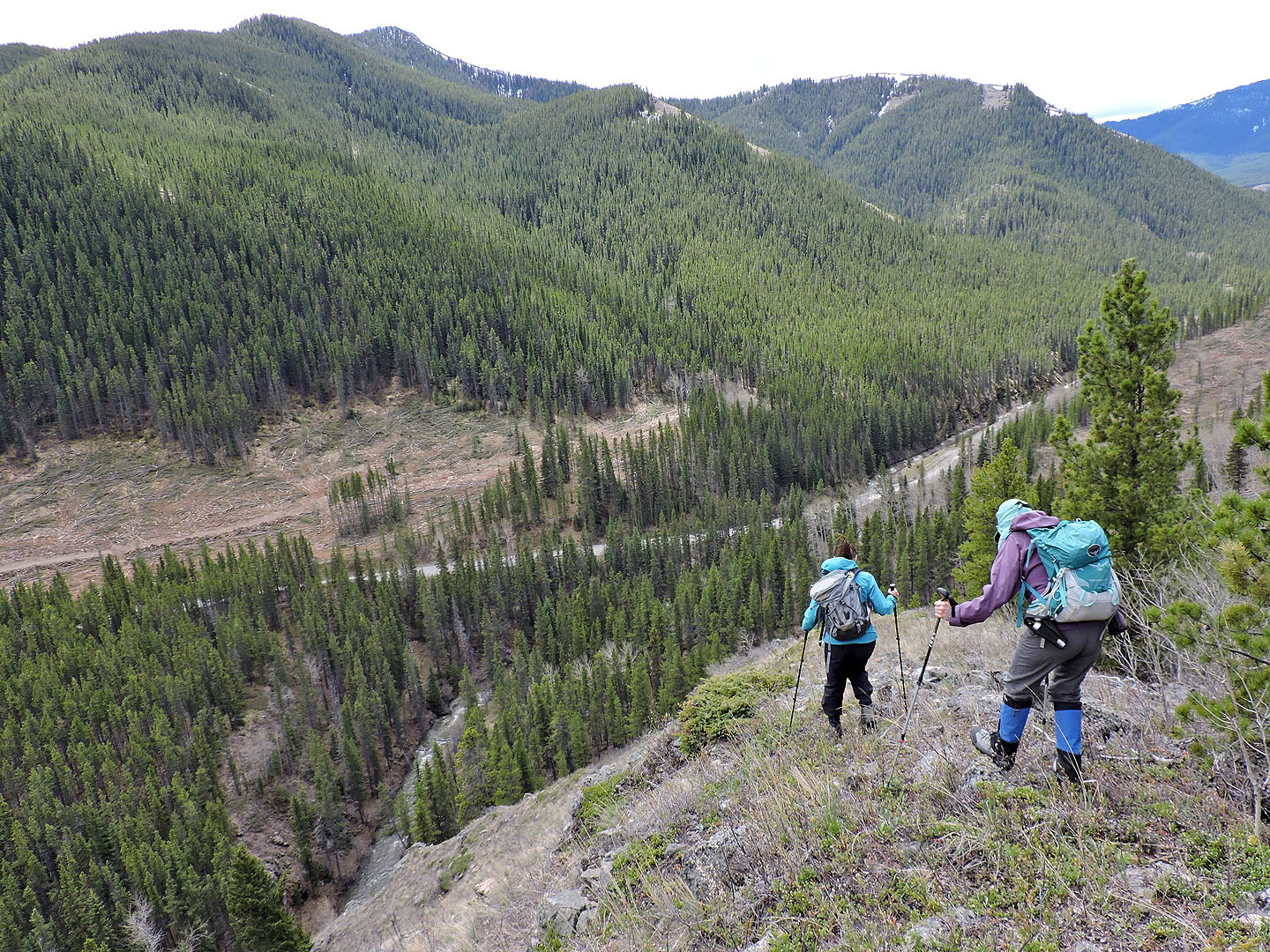
Vicary Creek lies below
At the end of the ridge, we had to cross a brook
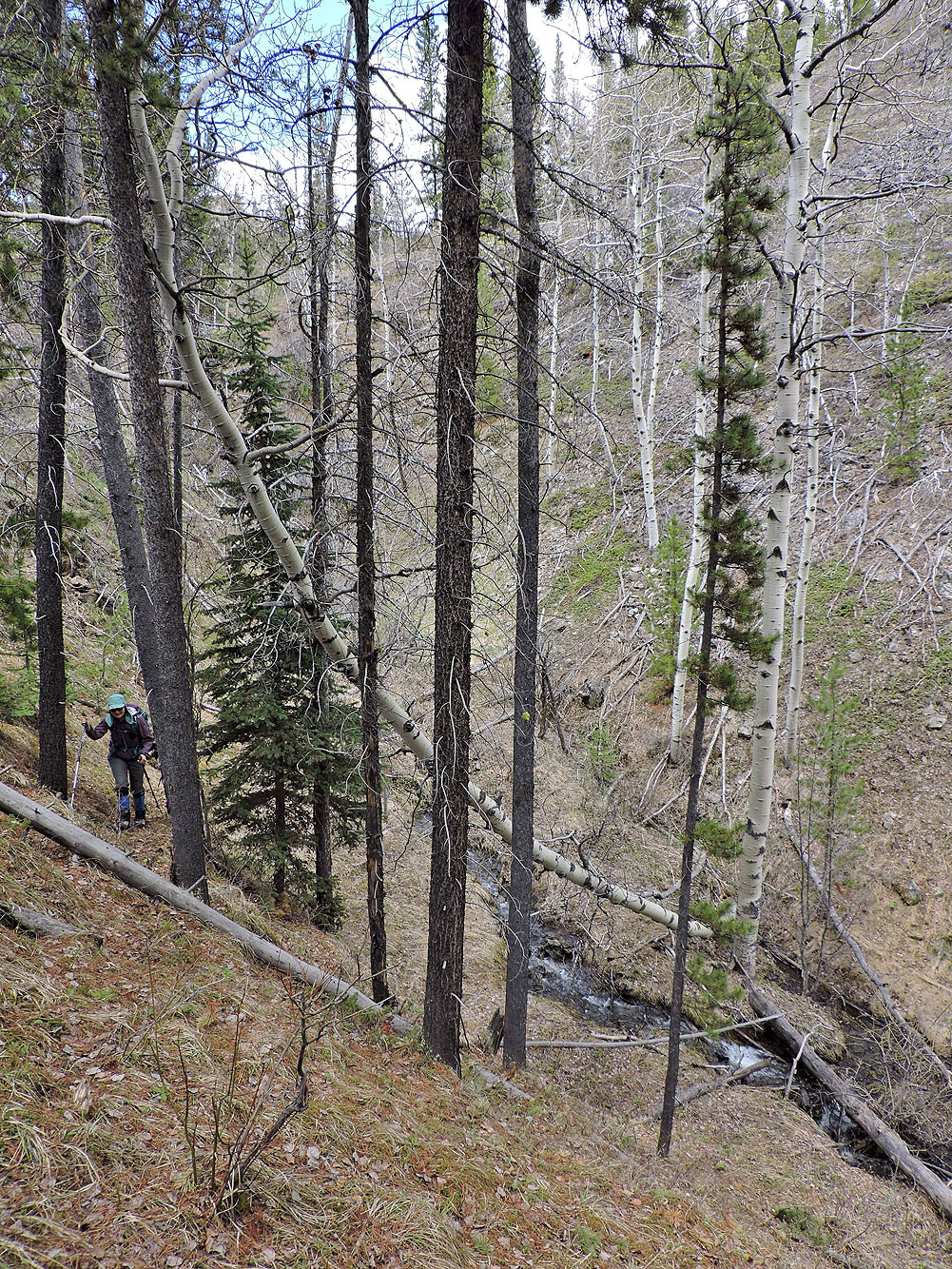
Coming up a brief trail after crossing the brook
We made our way to the south end of the bridge over Vicary Creek
Back on Highway 40
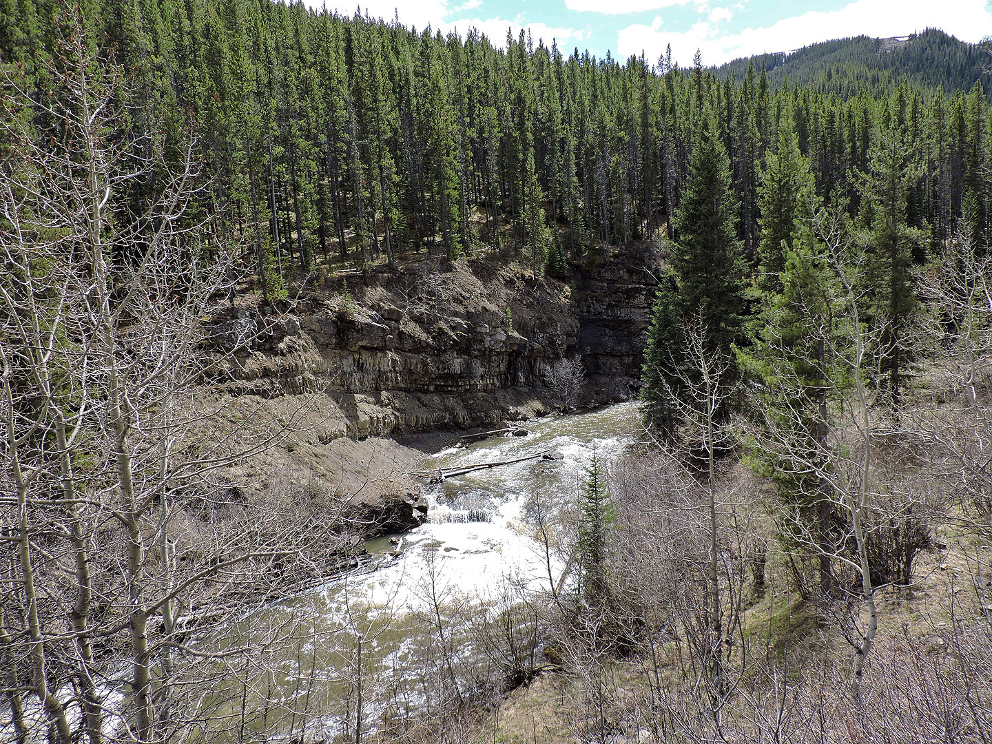
The bridge saved us from crossing Vicary Creek!

82 G/16 Maycroft