bobspirko.ca | Home | Canada Trips | US Trips | Hiking | Snowshoeing | MAP | About
Thunder Mountain
Oldman River Area, Alberta
May 8, 2004
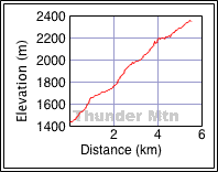
Distance: 10.5 km (6.5 mi)
Cumulative Elevation Gain: 950 m (3117 ft)
In 1792, Thunder Mountain became the first peak in the Canadian Rockies to be climbed by a non-native. Since then, others have followed in his footsteps for there is a trail for much of the way and a large cairn on the top. Thunder Mountain attracted my attention when I noticed it from Hwy. 22.
To get to the mountain, Dinah and I drove down Hwy. 22 until we crossed the bridge over Oldman River. We took the first right turn after the bridge onto Maycroft Road and followed it until we reached the north end of Thunder Mountain. We parked at a pull-out on the left side.
After hiking up a short, steep road, we found a trail and headed up it. The trail, however, soon disappeared. We bushwhacked for a way before stumbling onto another trail.
The trail took us to an open shoulder where we could see the ridge we had to follow, at least to a false summit. There was little scrambling along the ridge, and then a trail took us right to the summit.
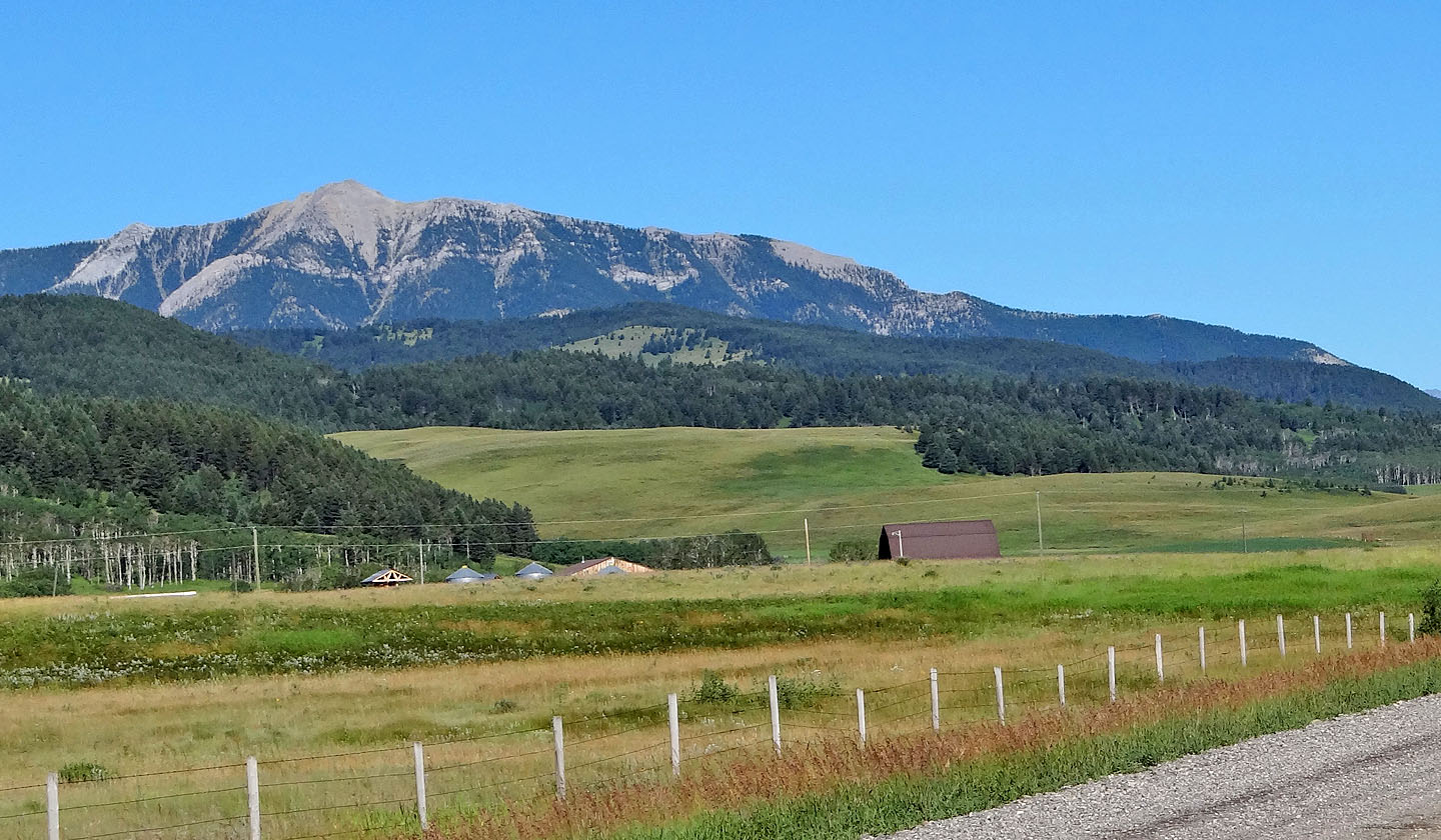
Thunder Mountain from Hwy. 22. We parked at the end of the ridge on the right
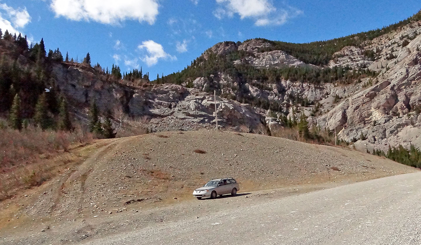
We parked at a pull-out
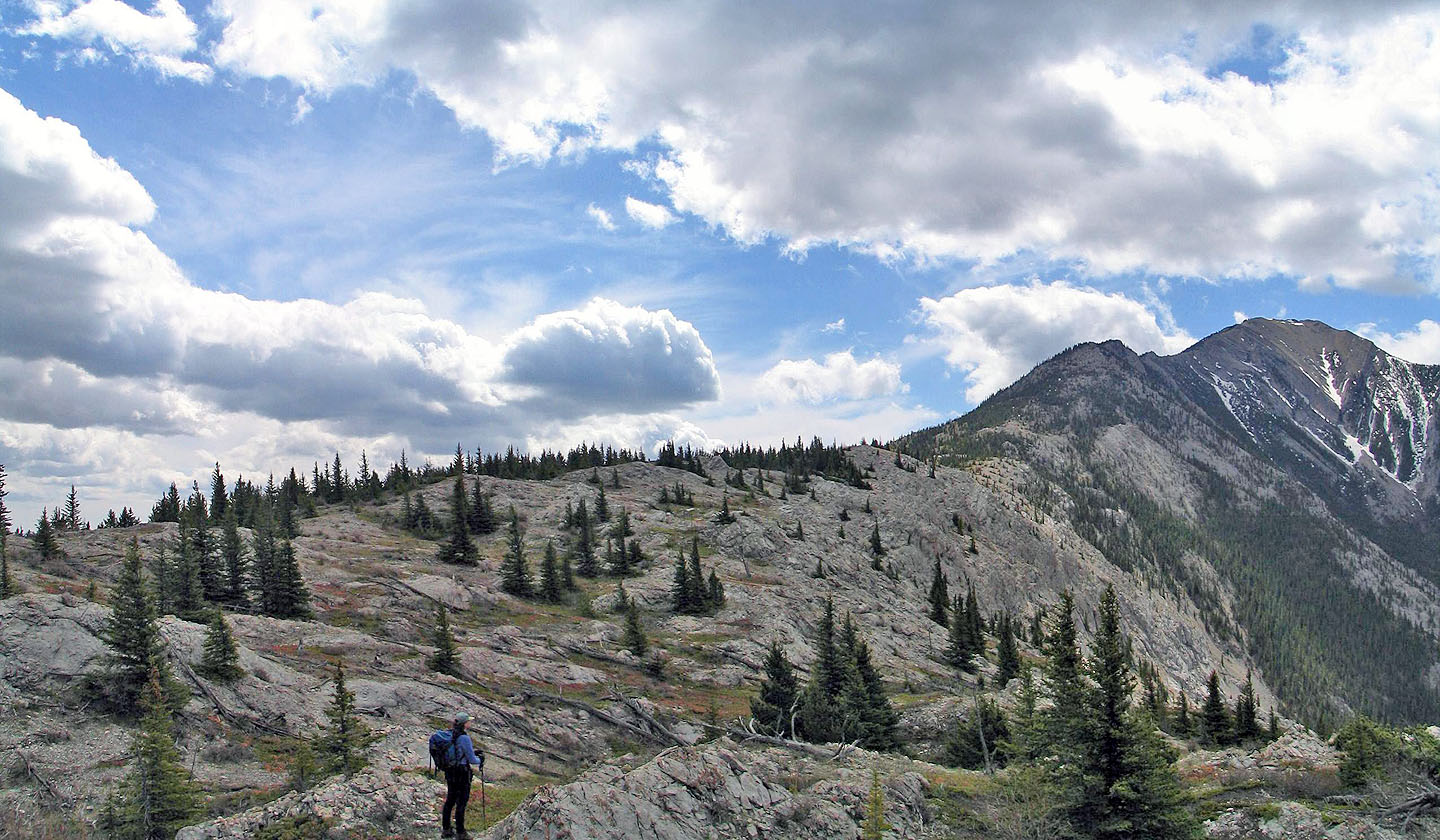
After climbing 200 m, we came out on the shoulder. The false summit is far right.
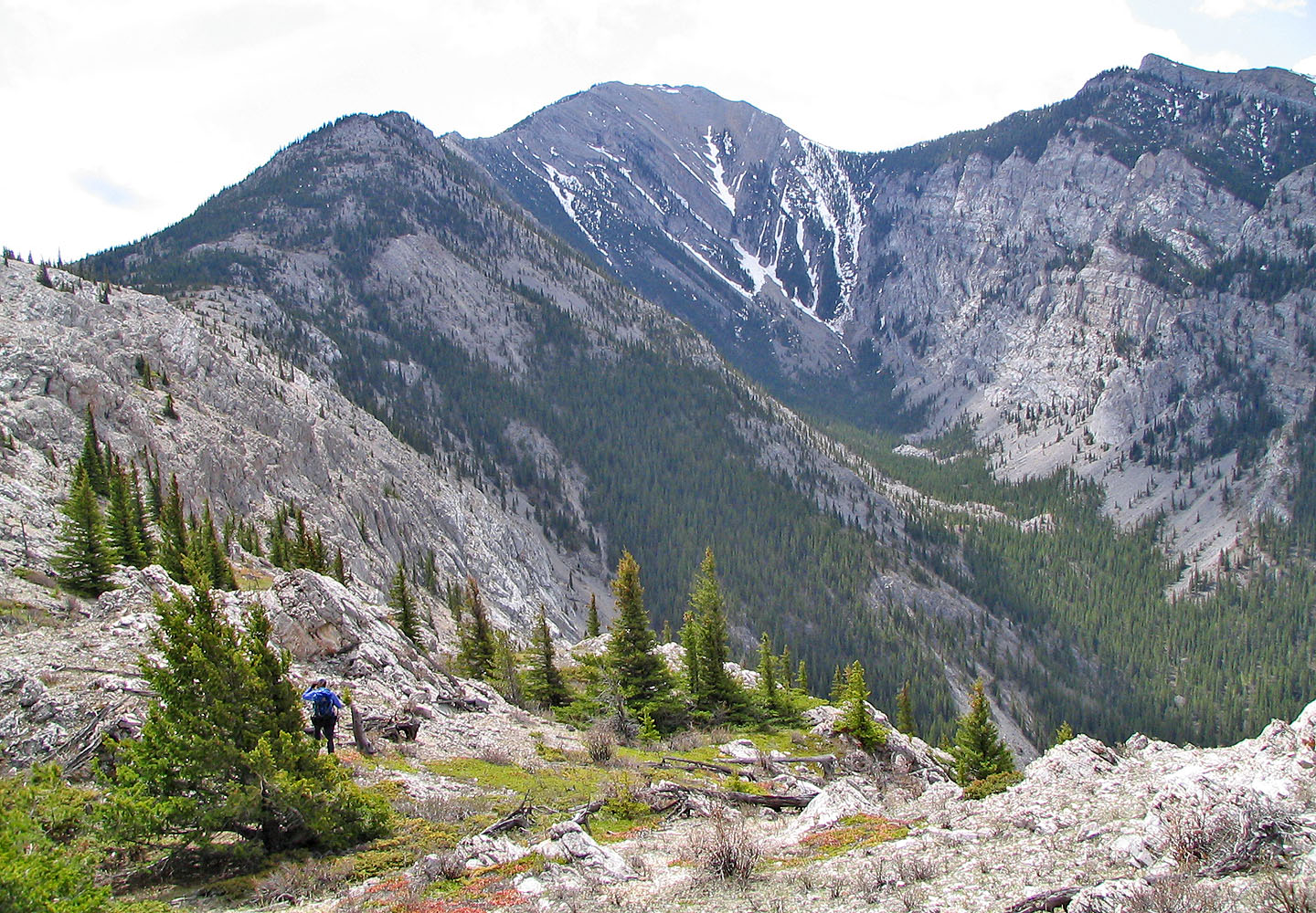
Hiking up the shoulder
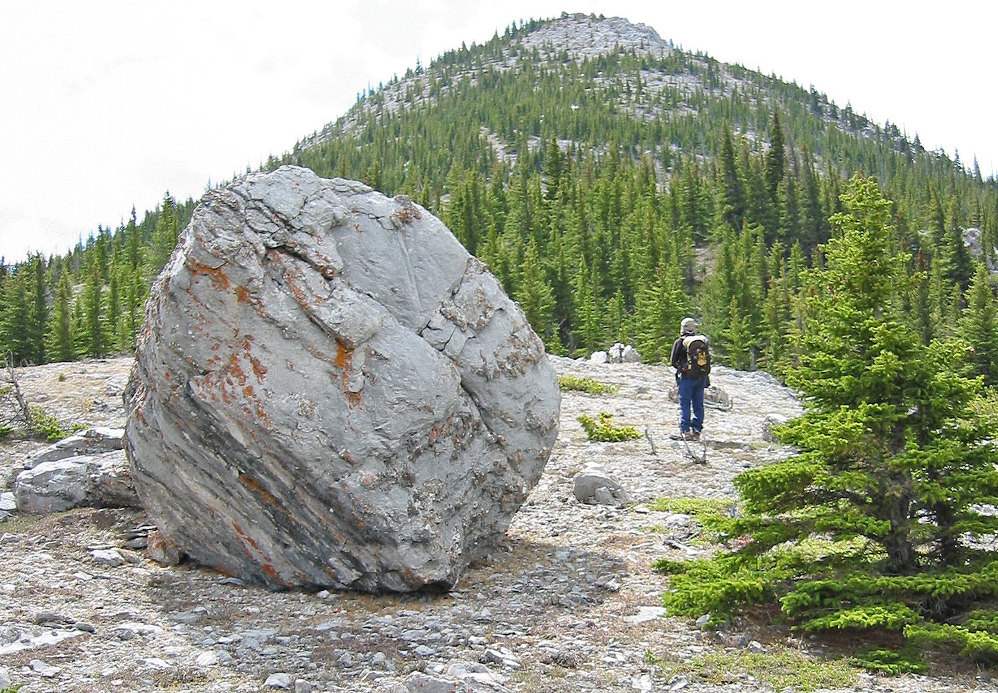
We passed a boulder on the shoulder
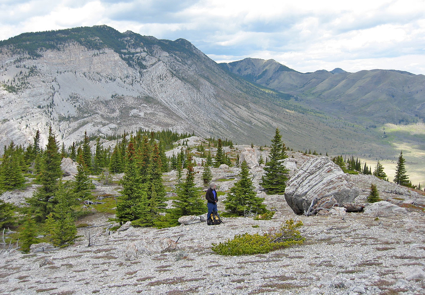
Behind us are Thrift Peak and Camp Creek Ridge
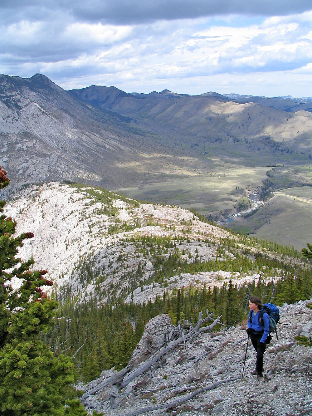
After leaving the shoulder, the ridge soon narrowed
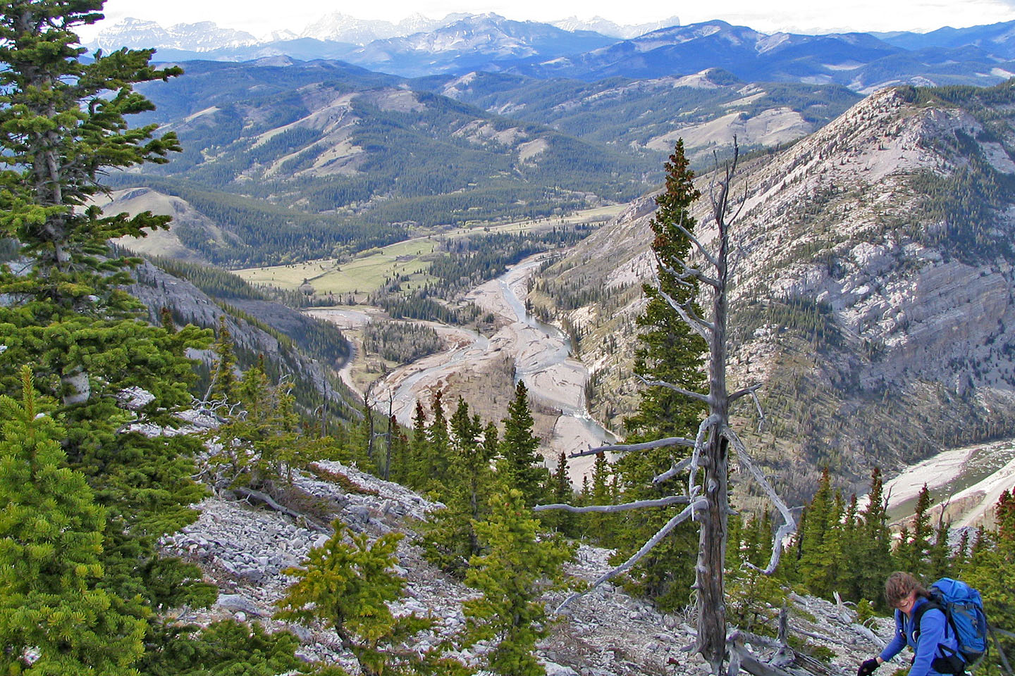
Oldman River lies below
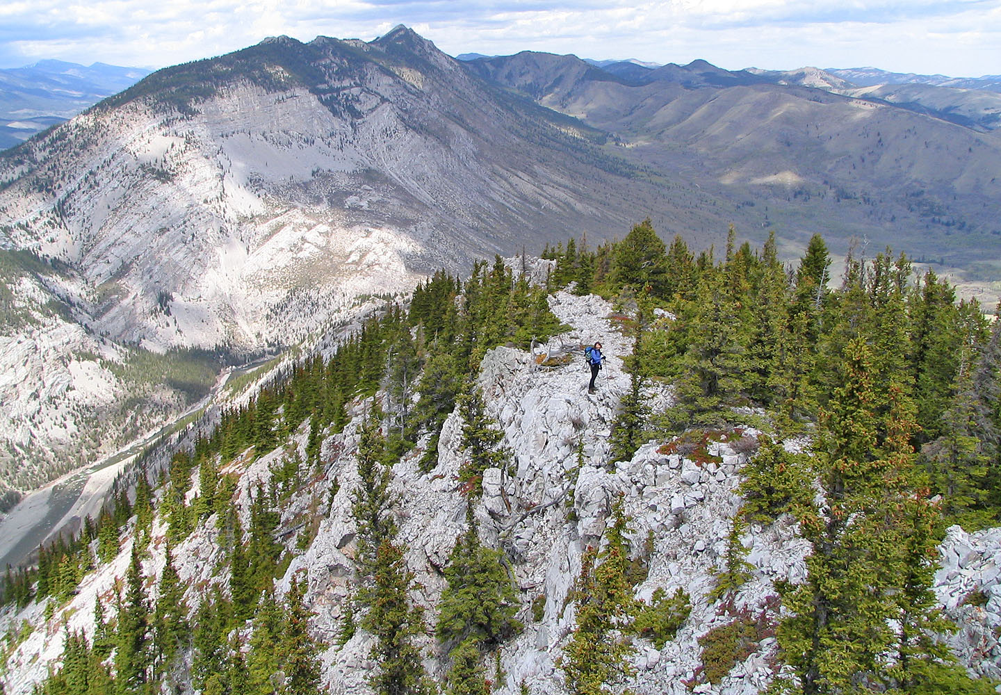
The summit of Livingstone Ridge comes into view
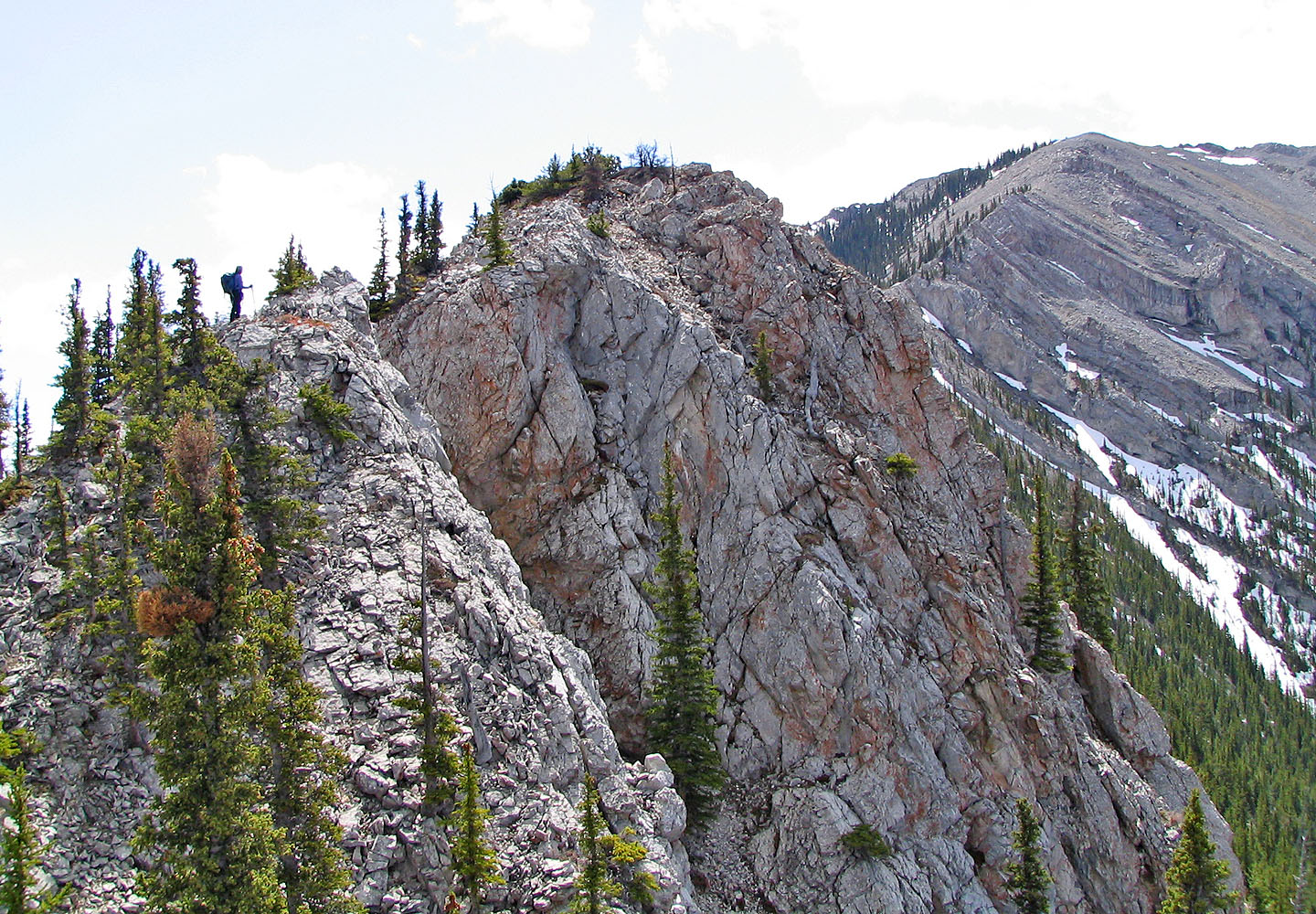
Looking around from an outcrop
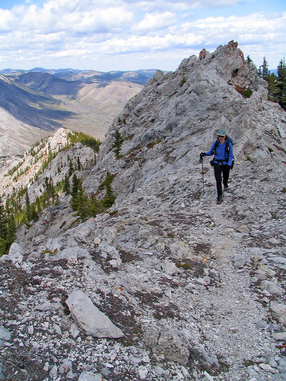
A trail bypasses an outcrop
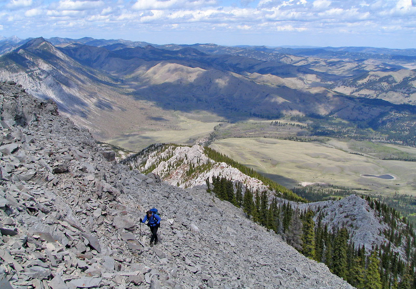
Coming up a scree slope
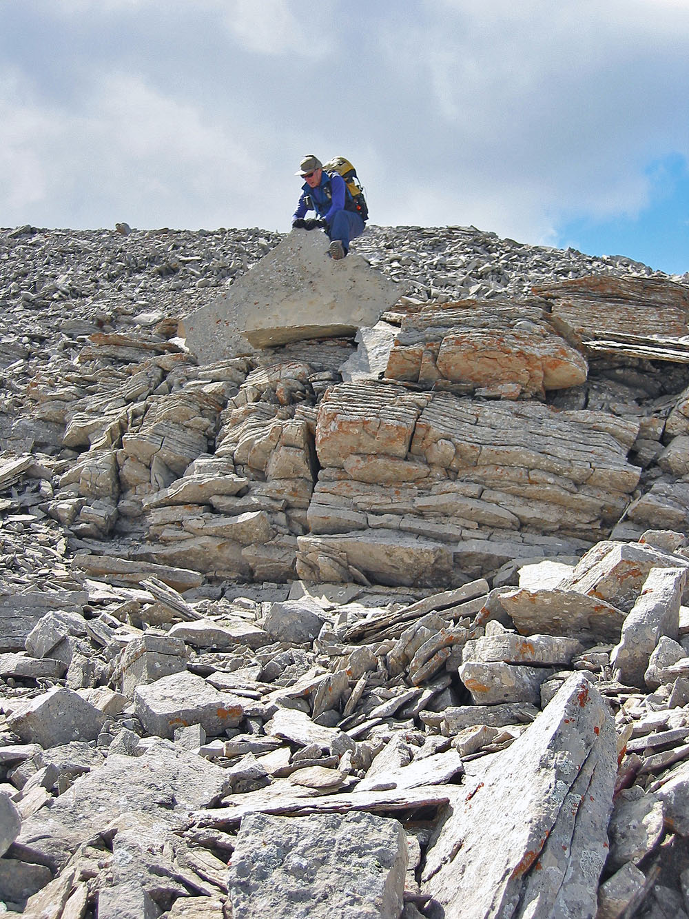
Examining a thin sheet of shale
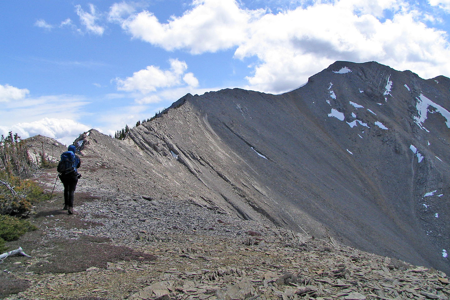
From the false summit the way to the two summits is obvious
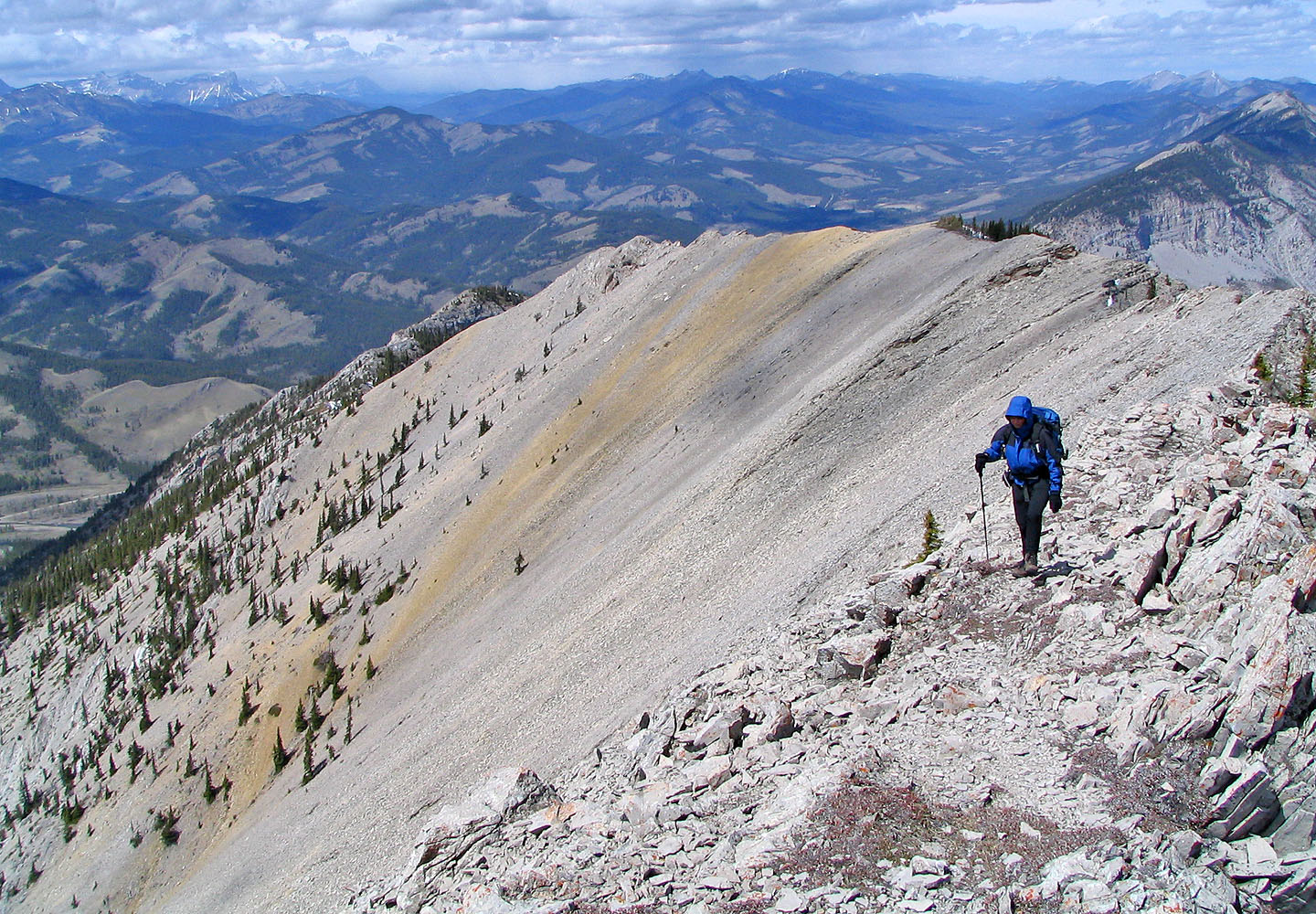
Looking back along the colourful ridge we traversed
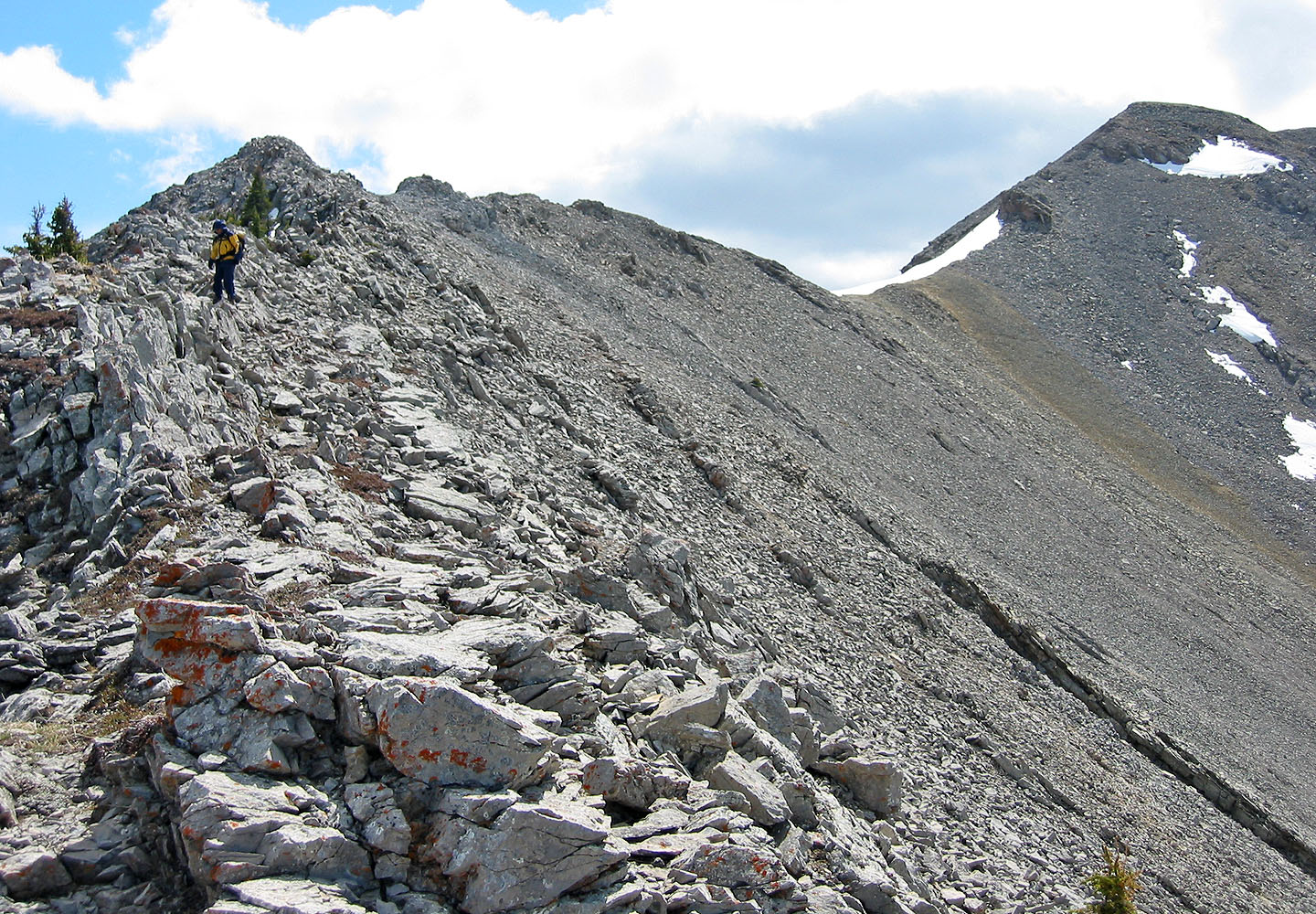
From here it's a walk to the summit
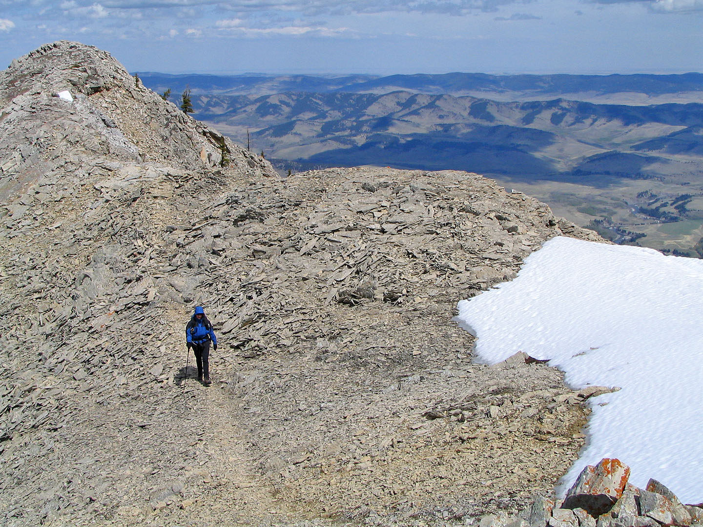
Following the trail in scree
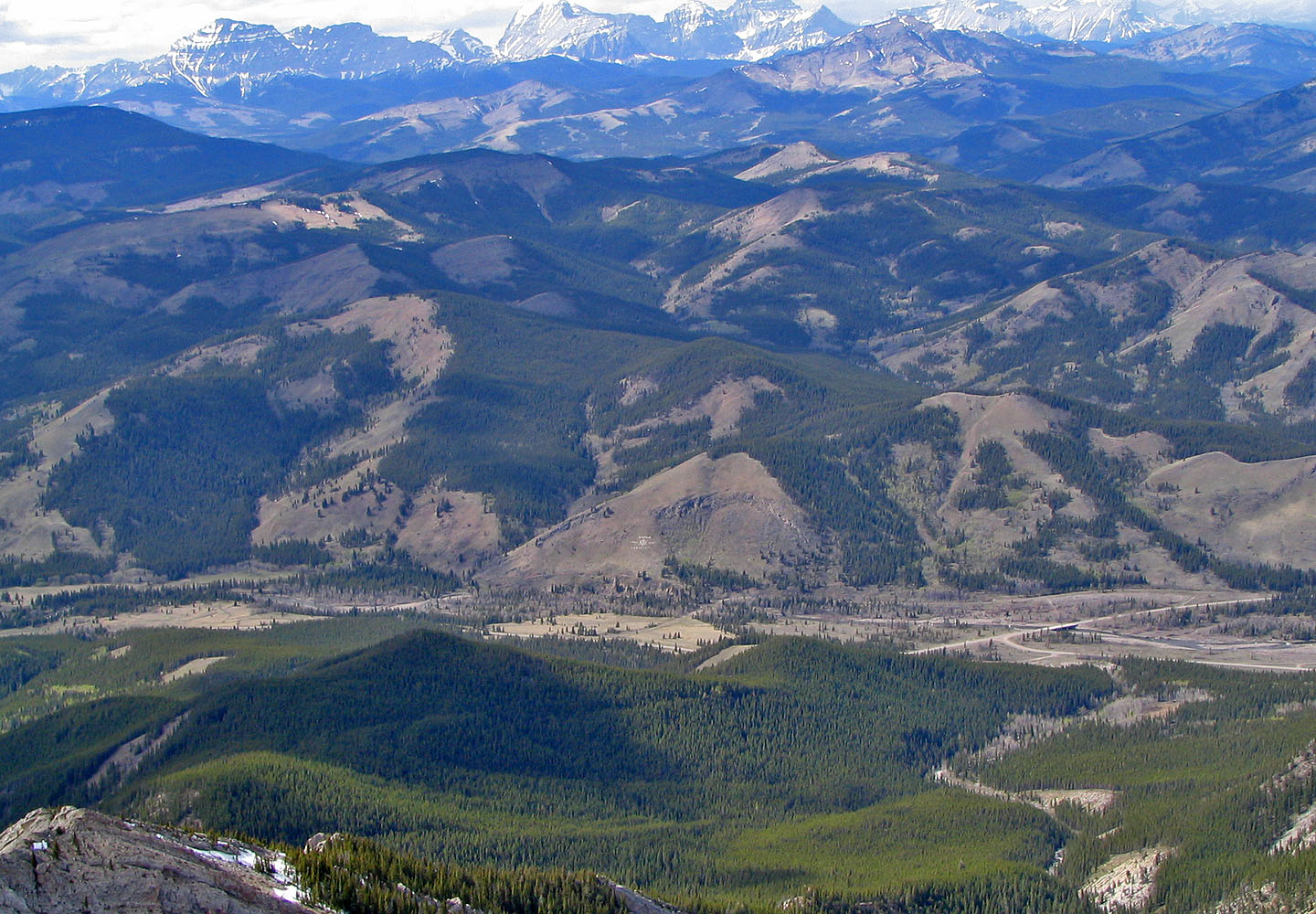
A Canada Centennial display appears on the lower slope of Fly Hill (mouse over for a close-up)
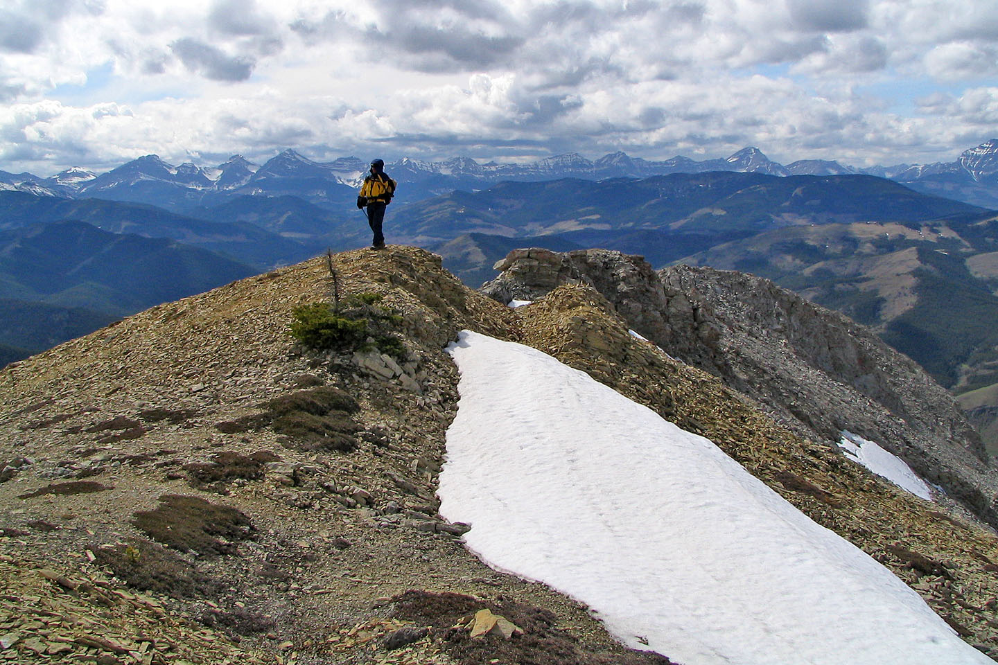
On the summit
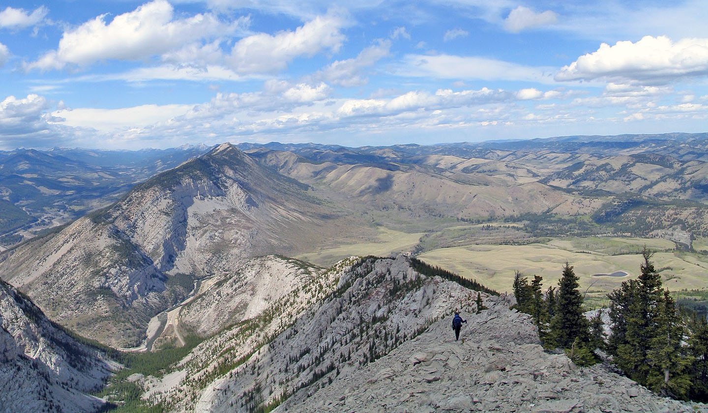
Heading back
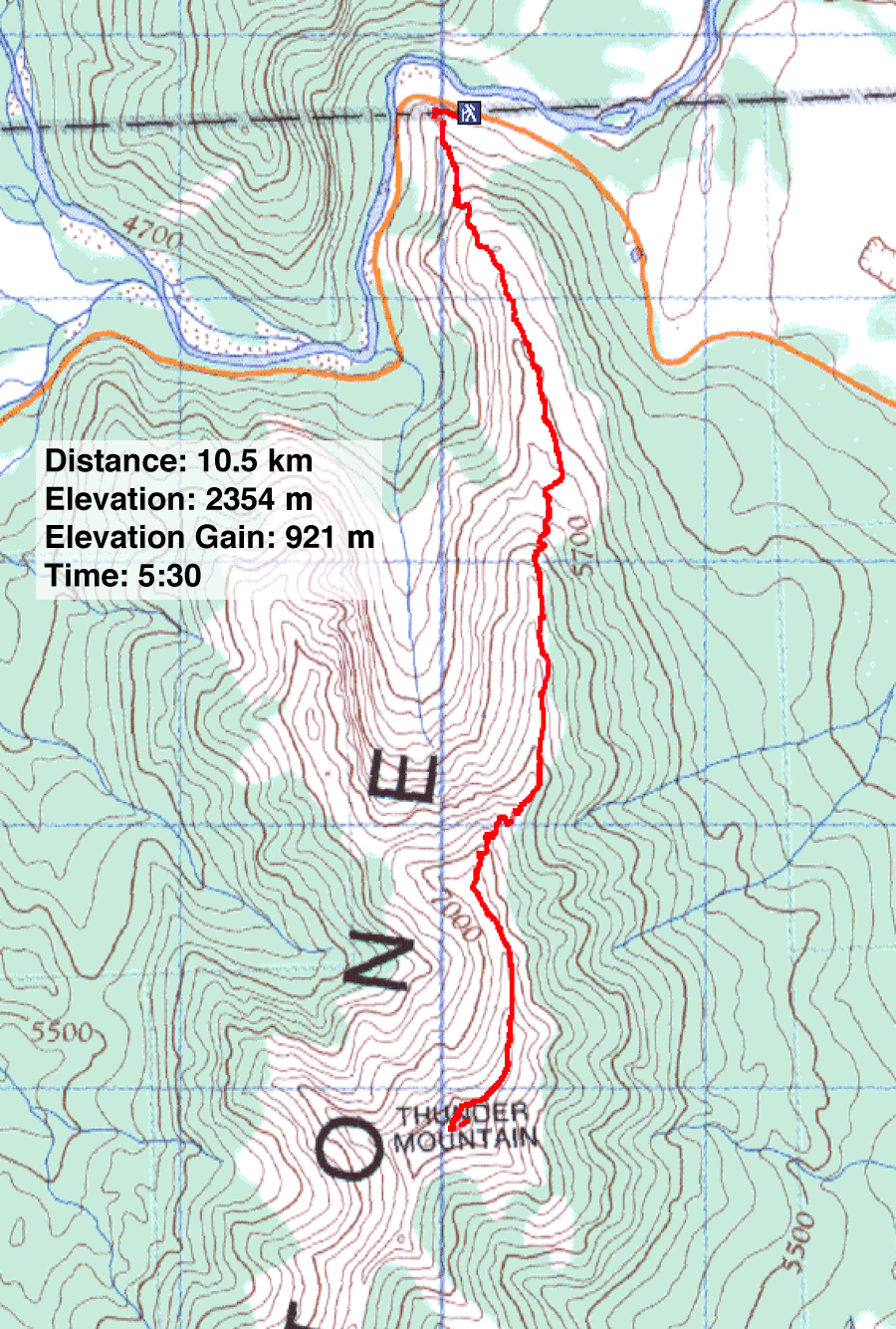
82 G/16 Maycroft
