bobspirko.ca | Home | Canada Trips | US Trips | Hiking | Snowshoeing | MAP | About
Sheep Peak
Desert National Wildlife Refuge, Nevada
November 1, 2009
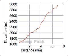
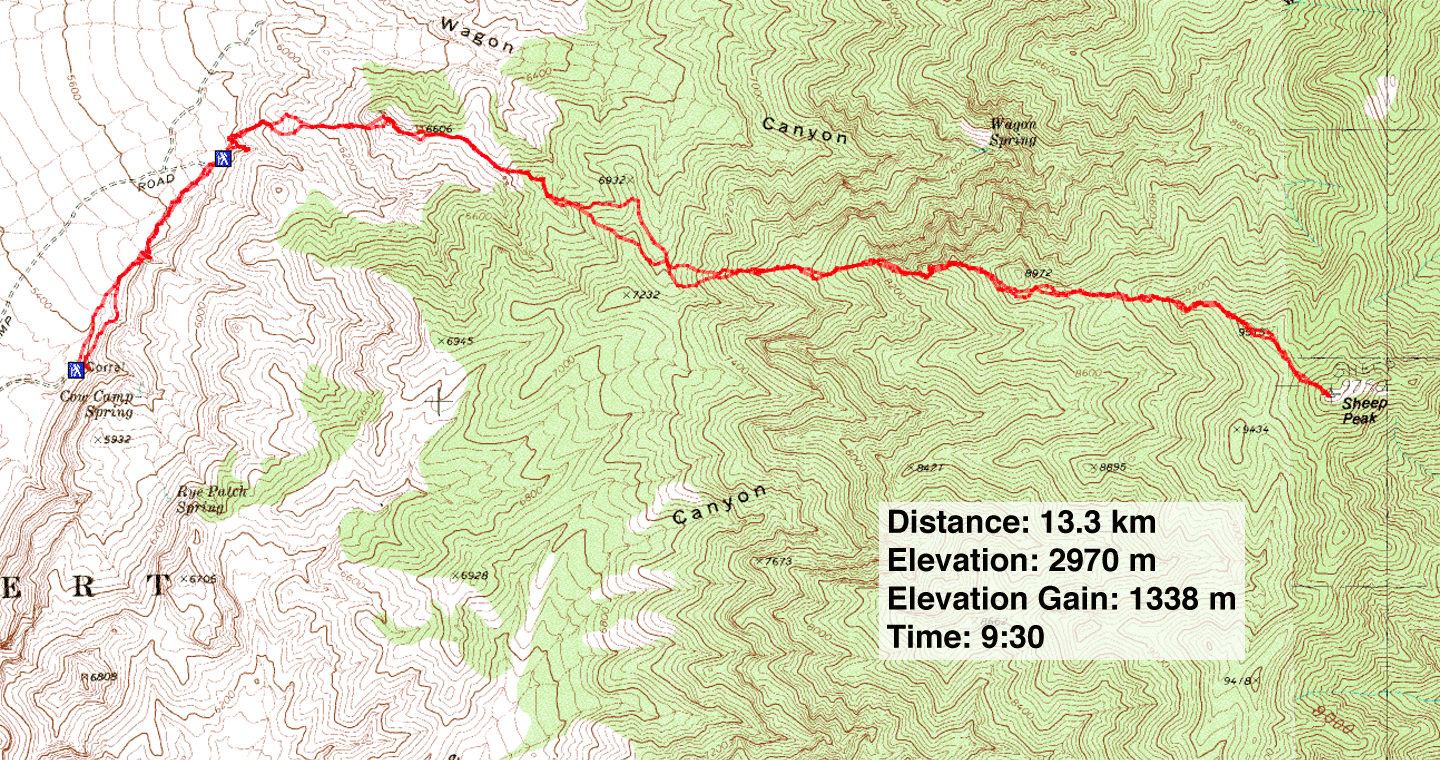
Distance: 13.3 km (8.3 mi)
Cumulative Elevation Gain: 1382 m (4534 ft)
I hadn't climbed any peaks north of Las Vegas so on Shin's invitation, I joined him and his two friends, John and Tim, to bag Sheep Peak, the third-highest peak in the Sheep Mountains.
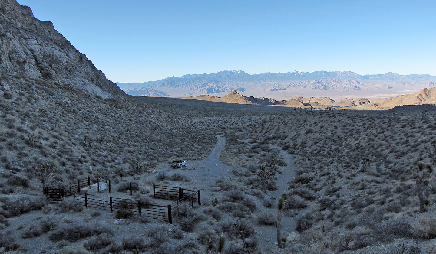
John drove his SUV several kilometres up 4x4 roads and parked by a corral. After starting, we realized we had driven up the wrong fork and parked at the wrong trailhead. Instead of going back, however, we pushed on to the correct trailhead, adding 1.2 km to the approach and 130 m of elevation gain.
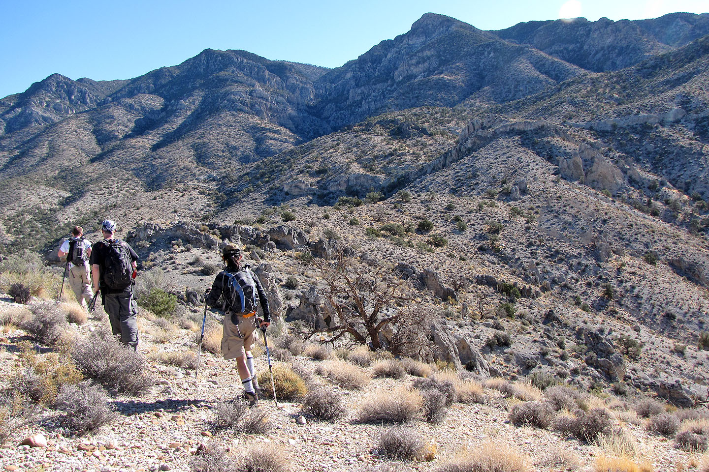
I had no knowledge of the route and left the routefinding to John and Shin. At first we floundered, trying to get our bearings, but eventually settled on ascending the west ridge. There was no trail. We covered ground mostly by hiking, although at times we were forced to do a little bushwhacking or scrambling.
We made slow progress. Although Tim and John enjoy hiking, neither get out often because they have families. Nor did it help that it was hotter than we expected. However, after making our way up and over a series of ridges we arrived on top of Sheep Peak.
We had started shortly after sunrise, but the ascent had taken time and now the return trip ate up the rest of the daylight. We arrived back at the SUV at dusk just when the bats began flying about.
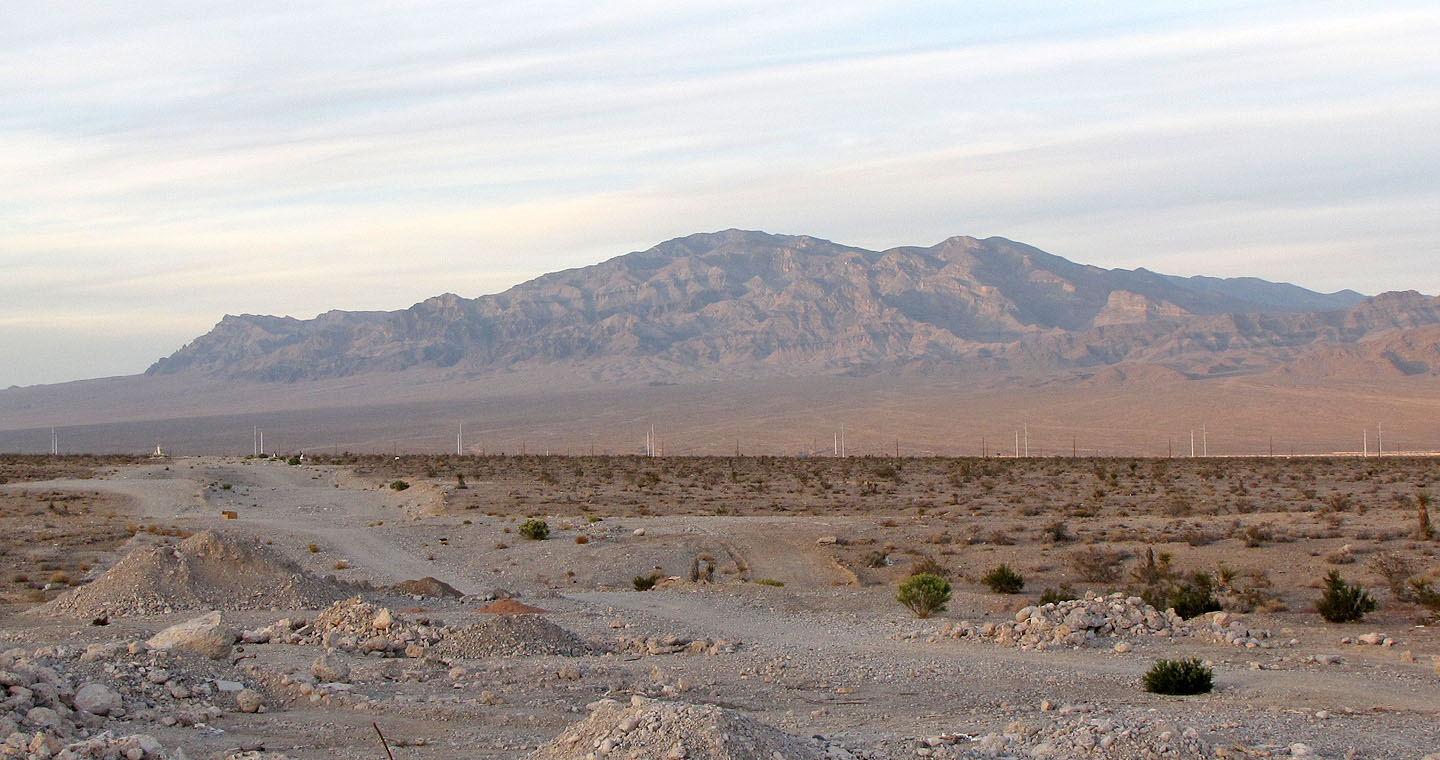
Sheep Peak seen from Las Vegas
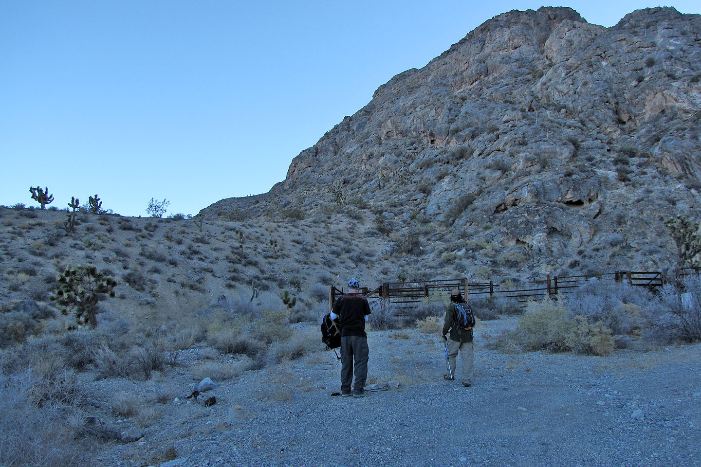
Starting from the corral
Looking back at our start. Mummy Mountain in the background (mouse over for a close-up).
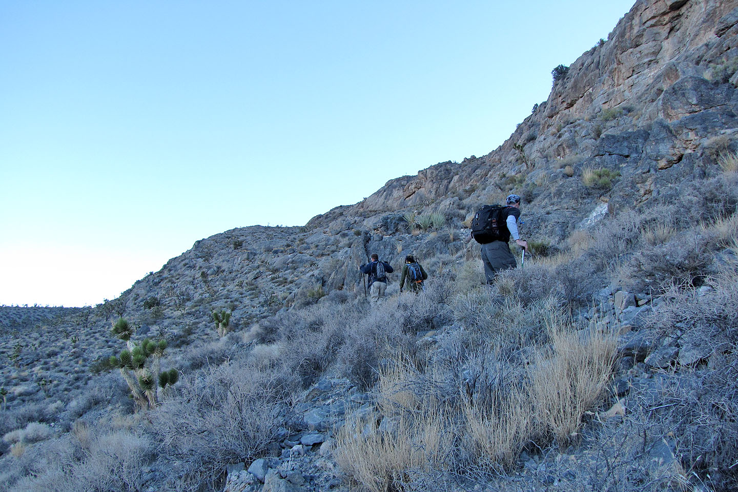
Heading up the slope
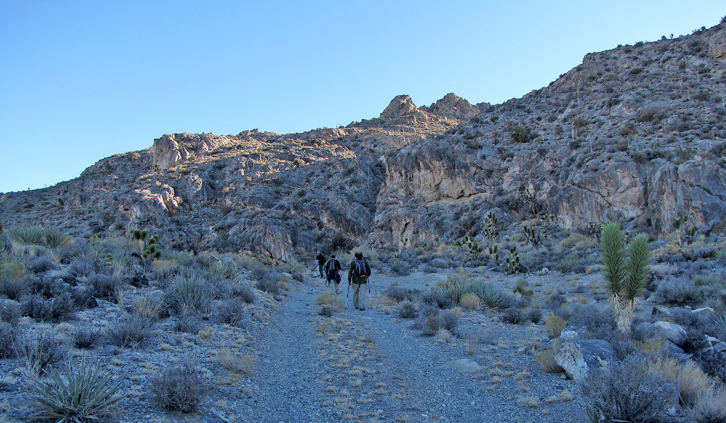
Arriving at the usual starting point
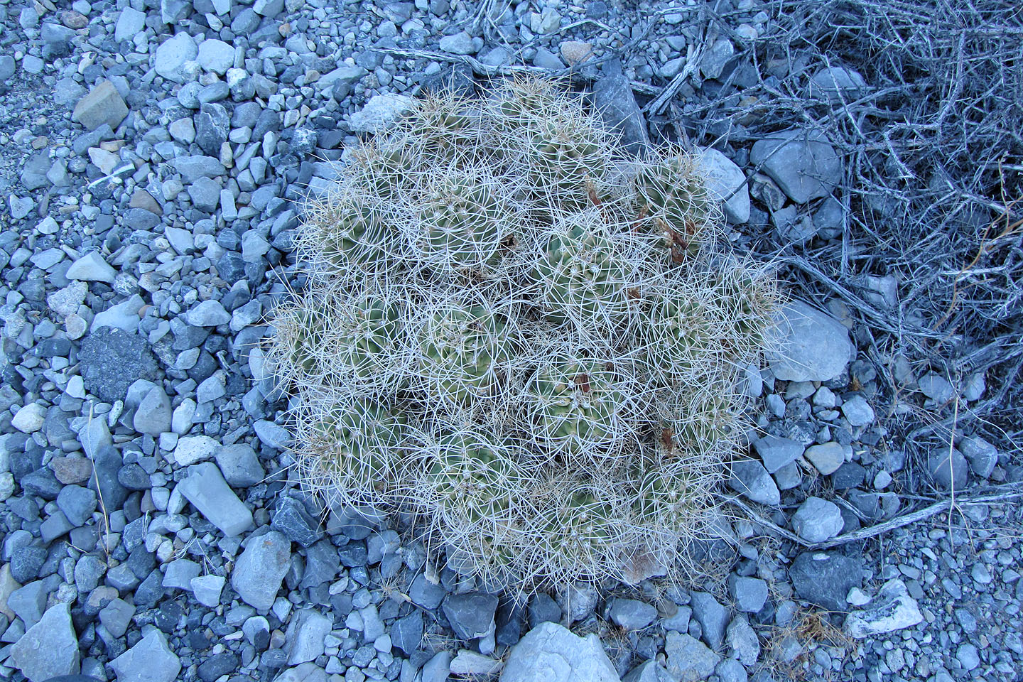
Hedgehog cactus
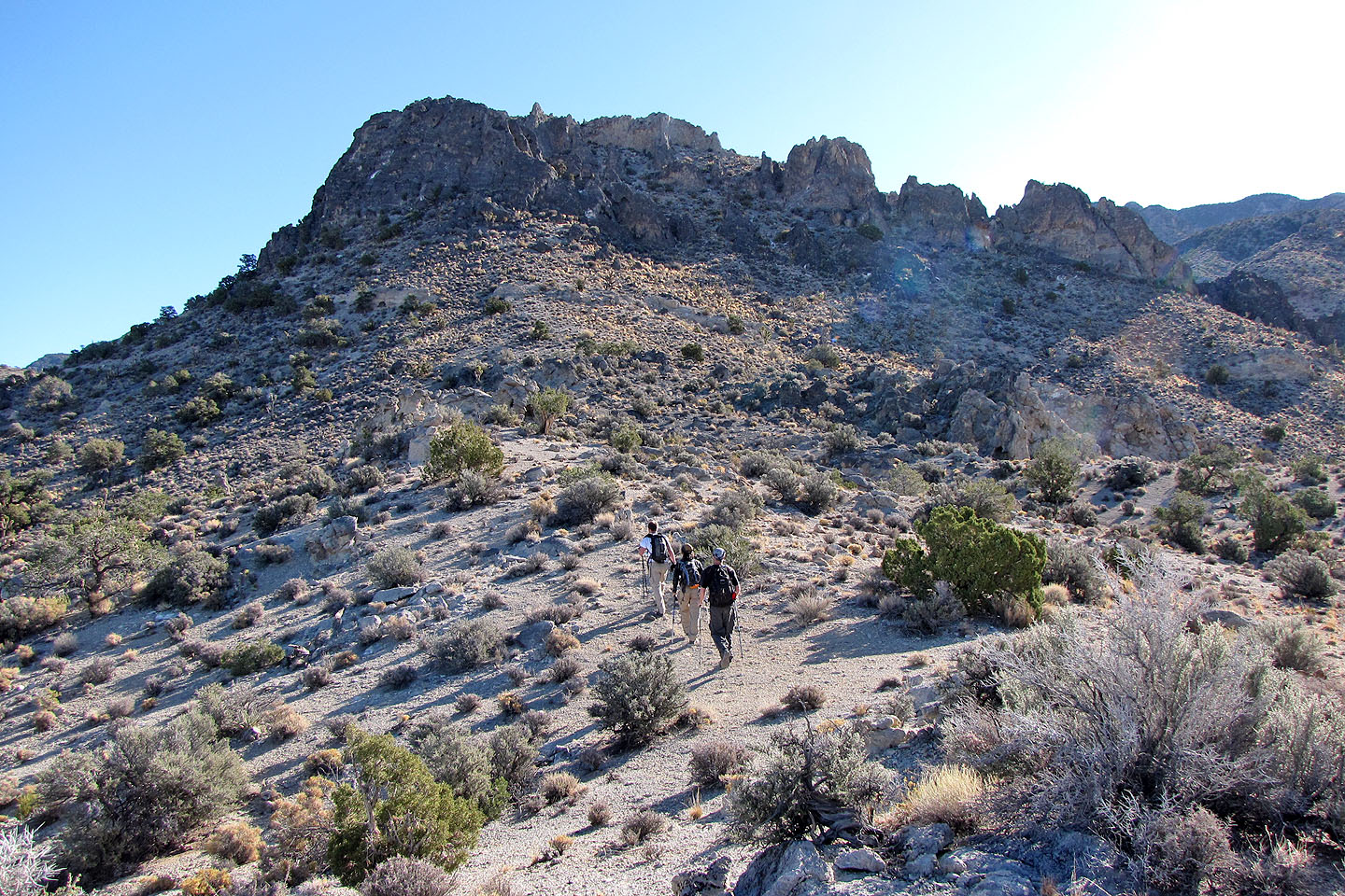
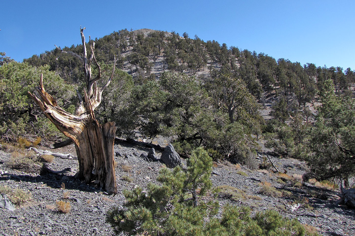
After climbing a minor ridge, we made for the rock outcrop above
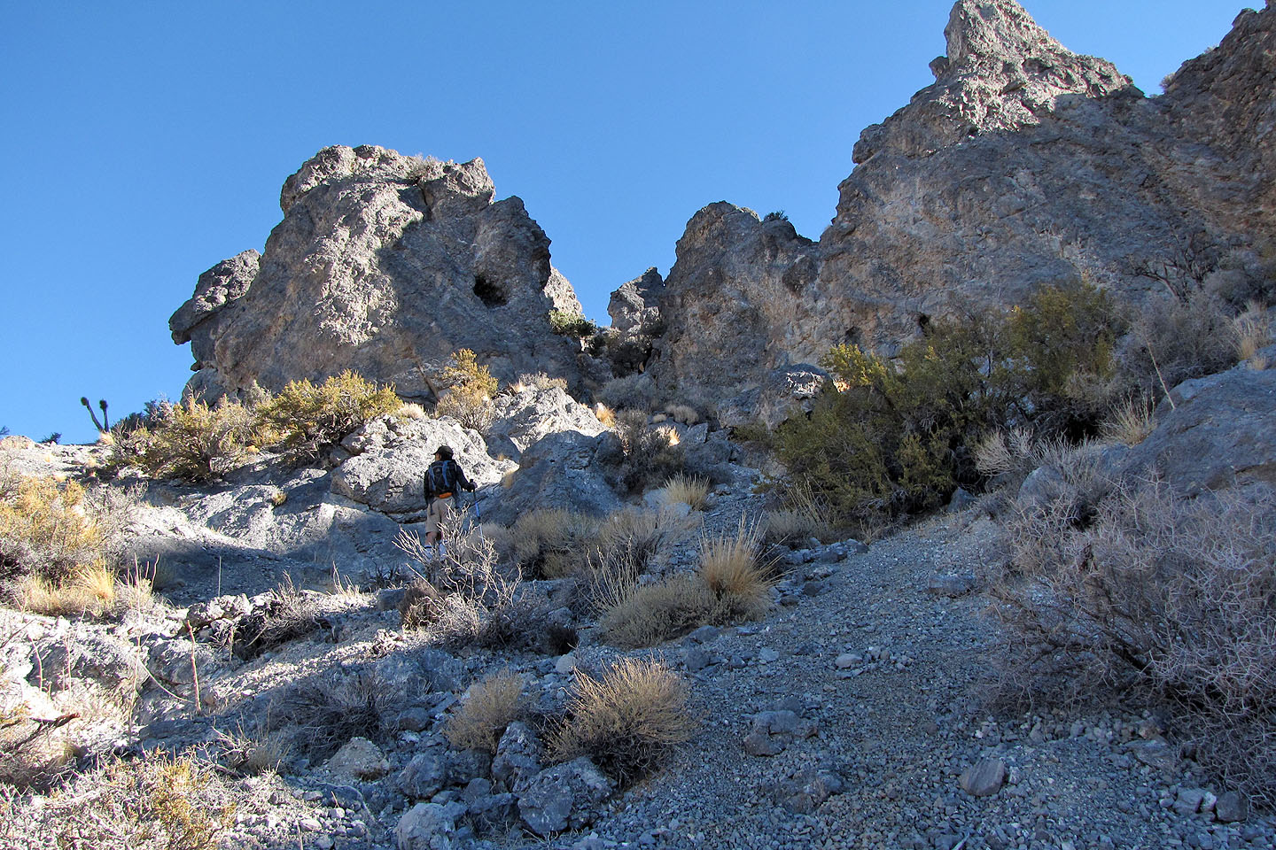
There was some uncertainty as to the best way to take, but it turned out well
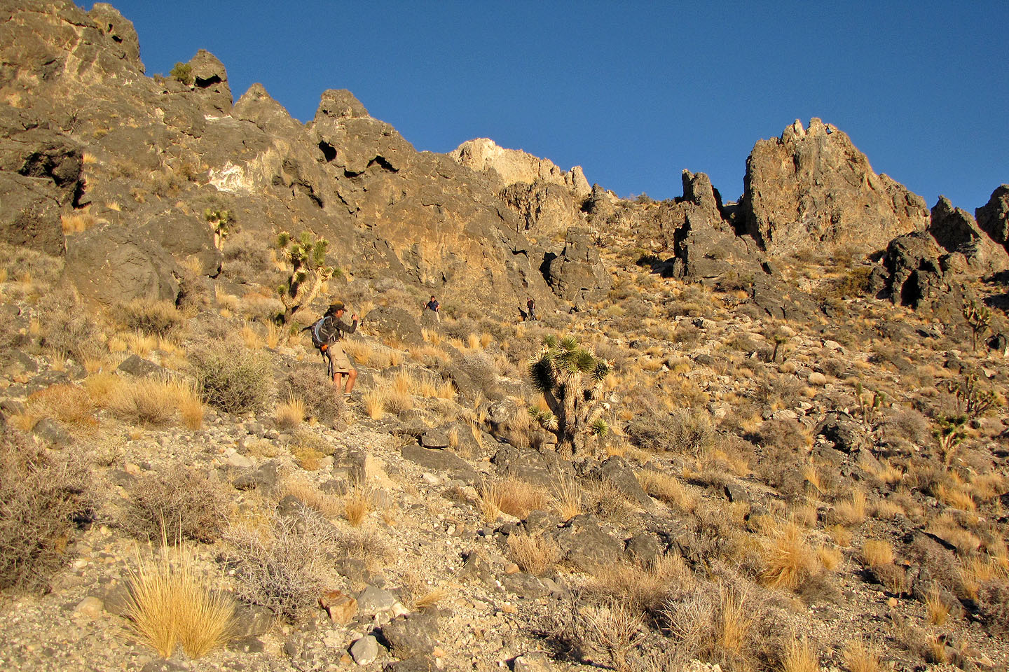
Negotiating the rocky ridge
John and Shin
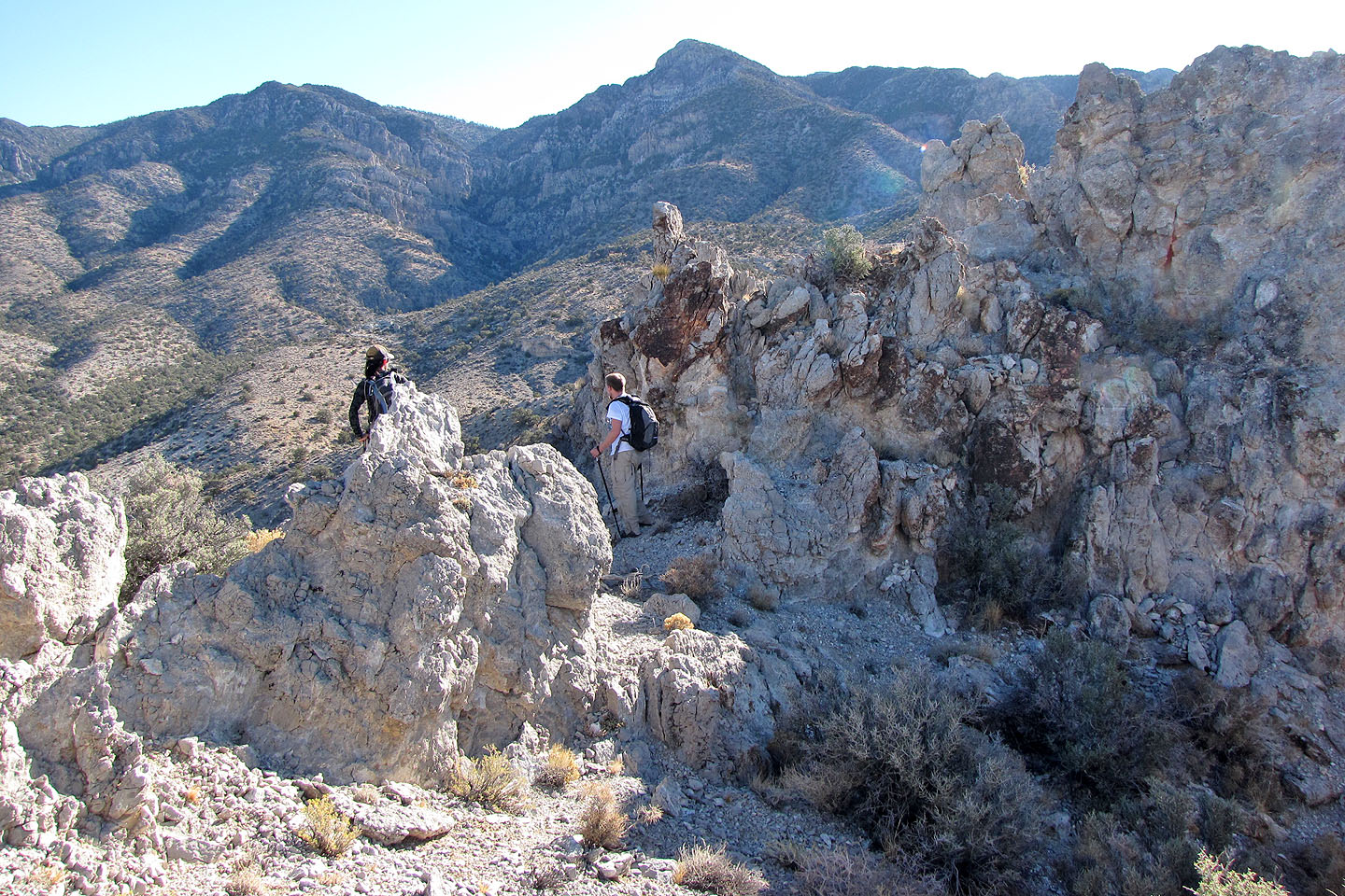
We encountered several ups and downs along the way
Shin stopped to look for our next move
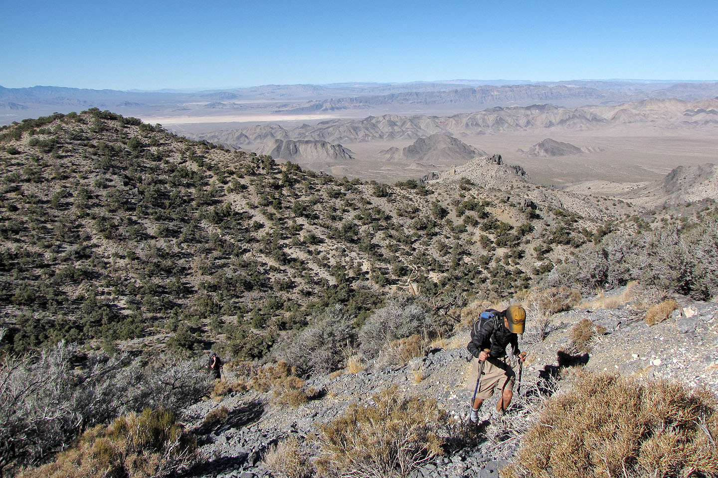
After dropping down, we continued up the other side
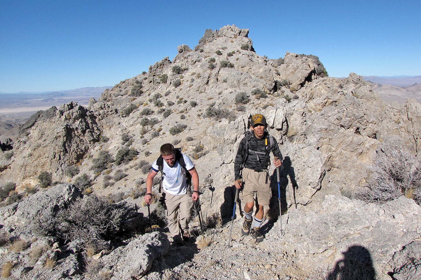
This ridge section climbs for quite a ways
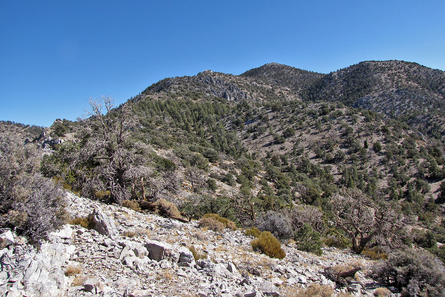
Eventually we saw the summit (centre peak) but it's still some distance away
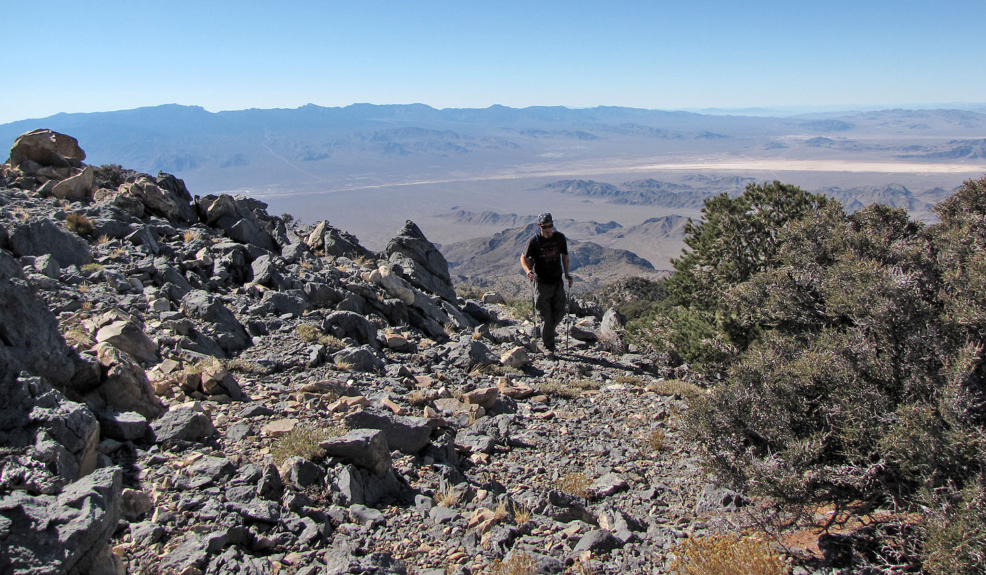
Tim crests another ridge
Looking back at the last ridge: we tackled it from different directions. Shin came over the far right
end (not in view). Tim and I came up and over the middle. John went around left to try to avoid
climbing. He's somewhere in the middle of the photo (mouse over).
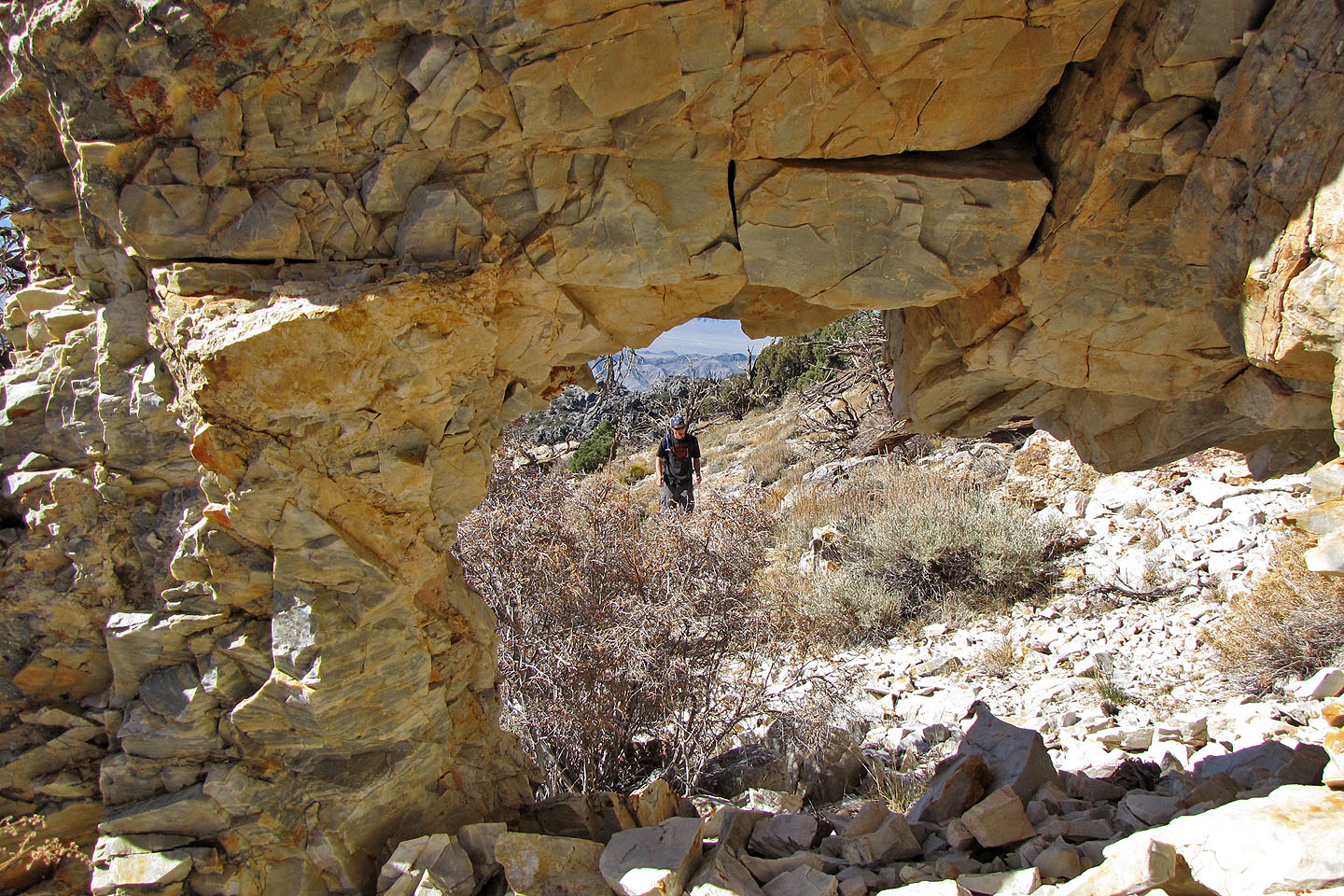
After going under an arch I looked back at Tim
The summit
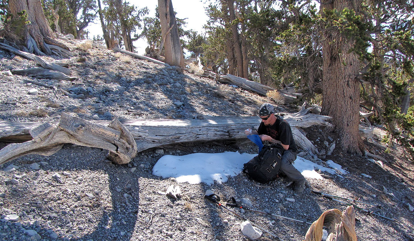
It was a hot day, and we were glad to cool and
augment our water supply with snow
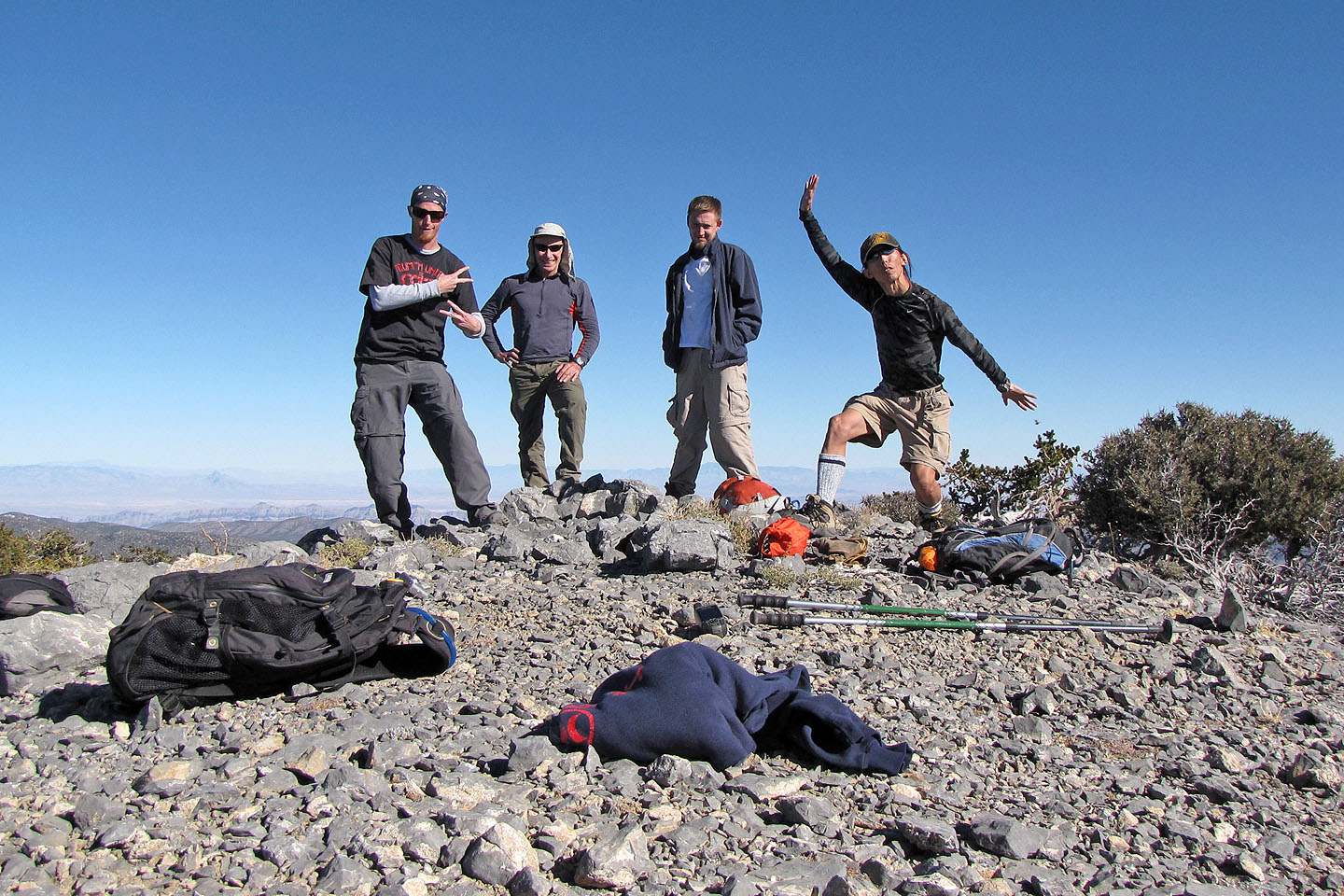
Tim, me, John and Shin on the summit
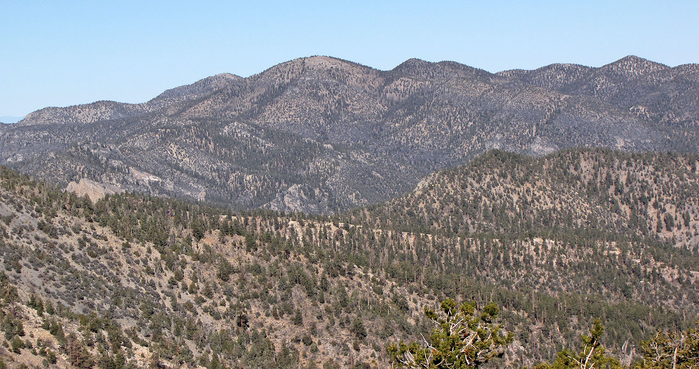
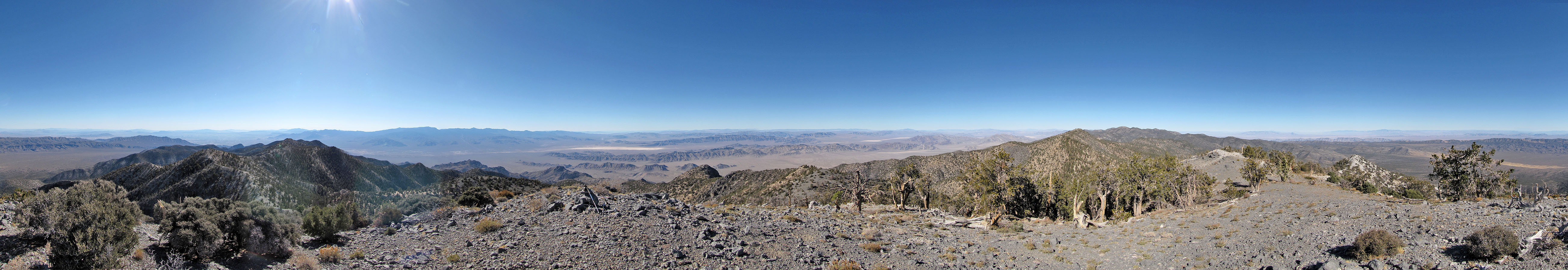
Nearby Hayford Peak is the highest in the area
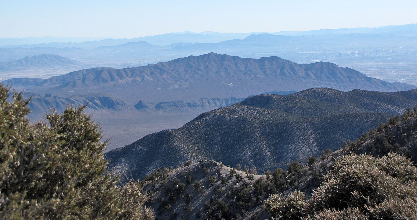
The long ridge is Gass Peak
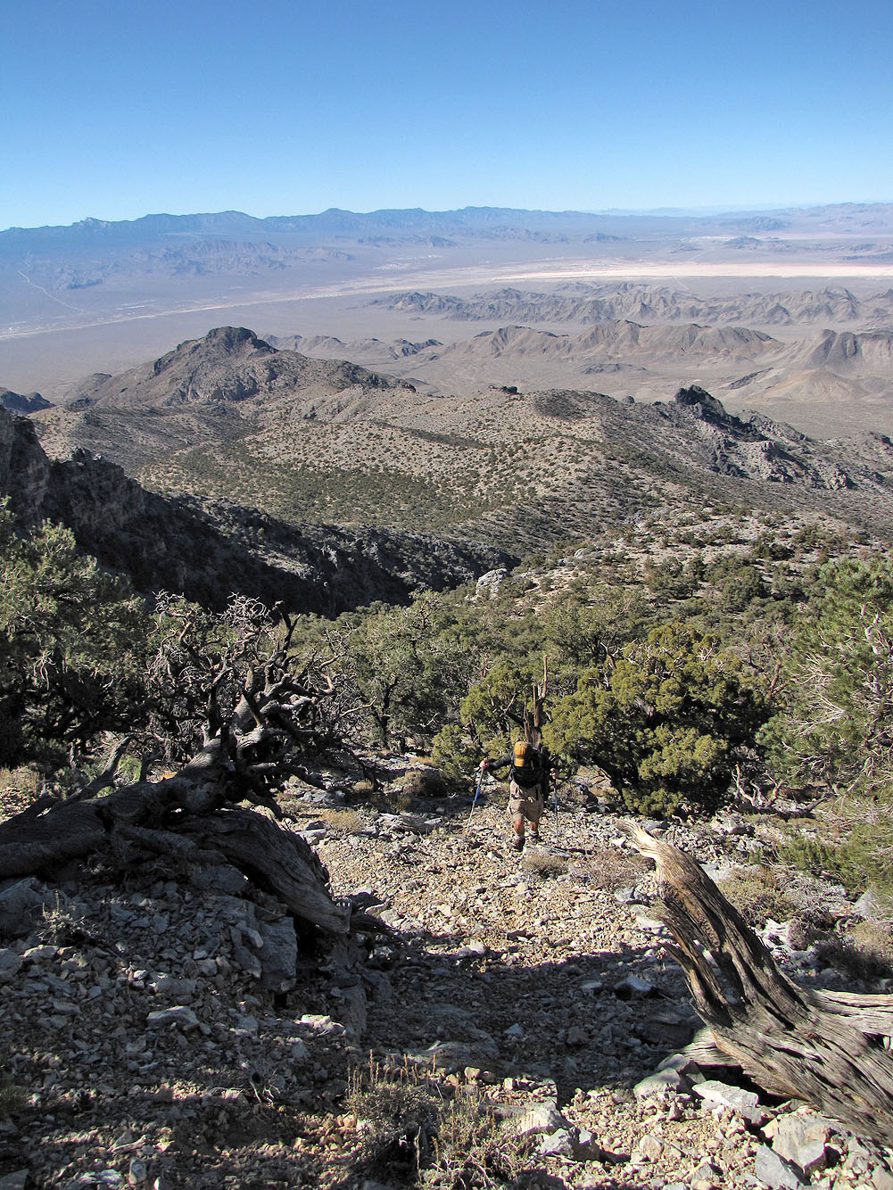
Coming down from the summit
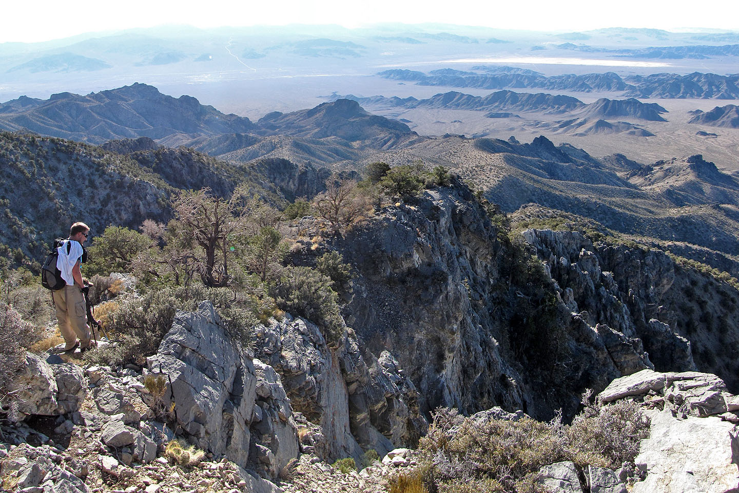
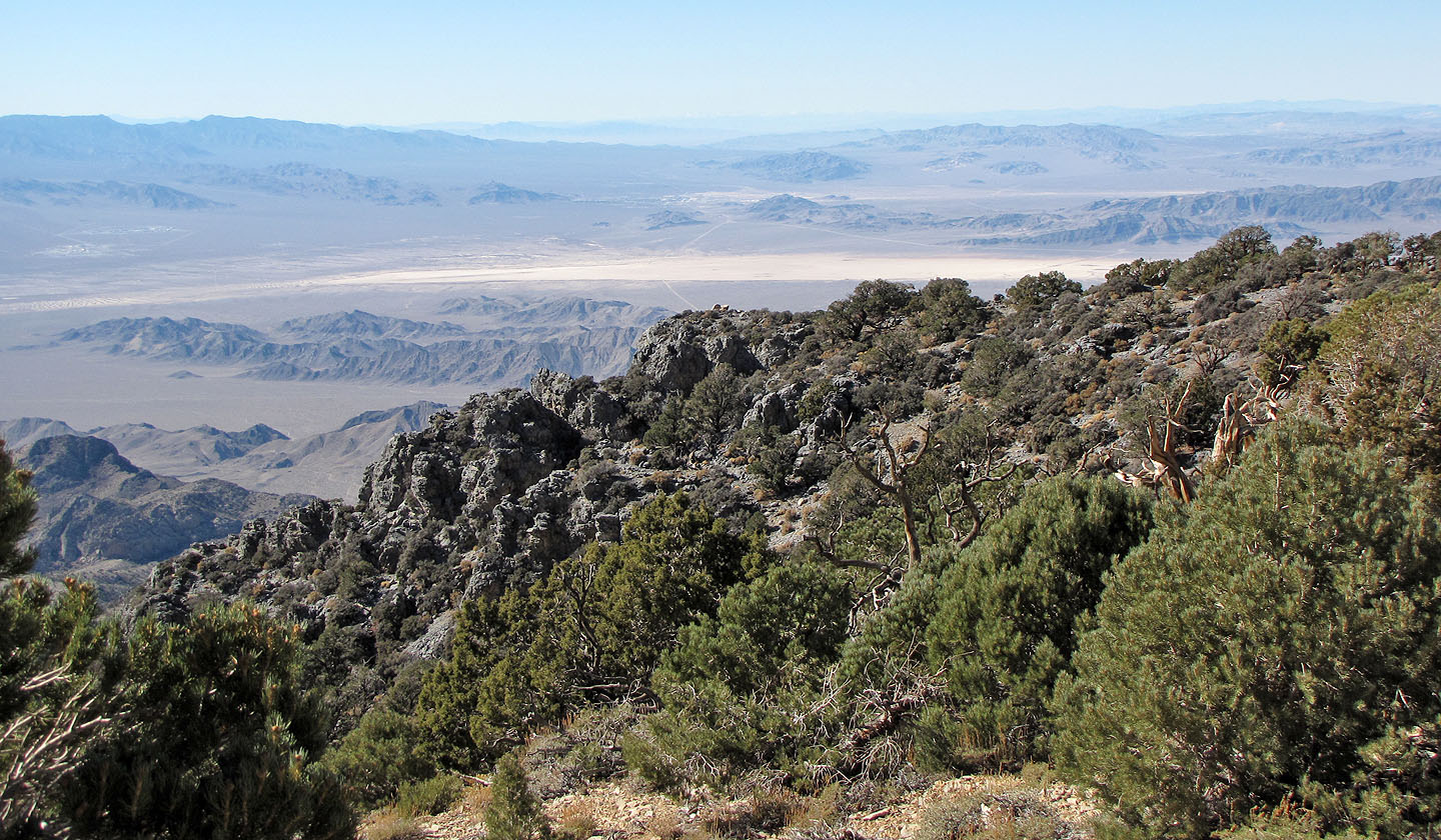
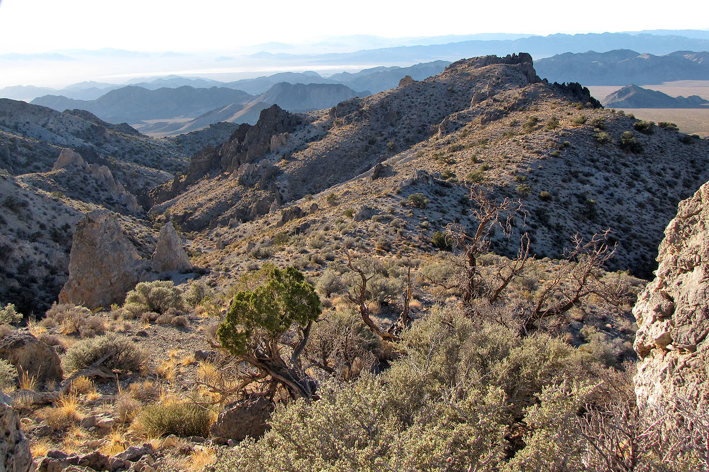
Heading back we came to a viewpoint
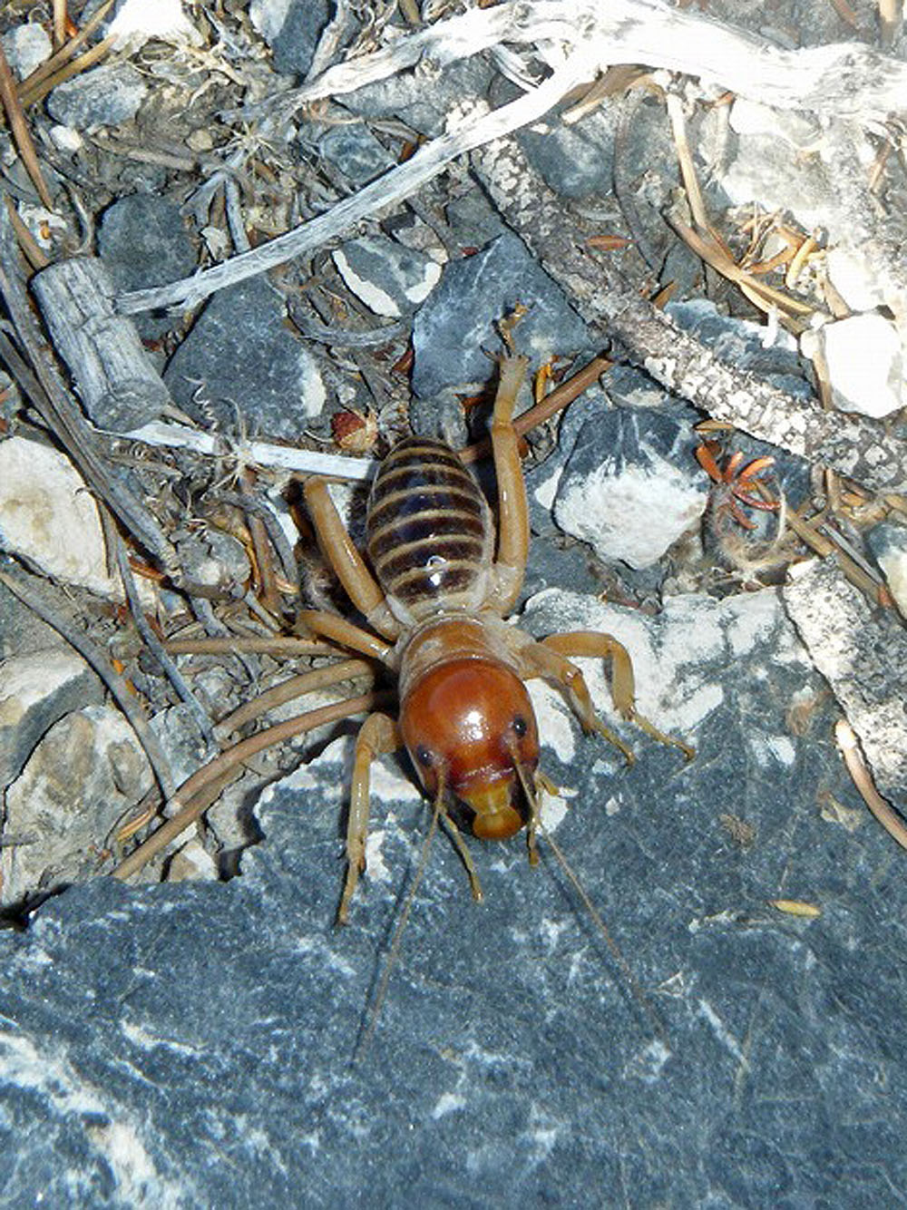
Jerusalem crickets get as large as 2.7 inches but this one was only about 1.5
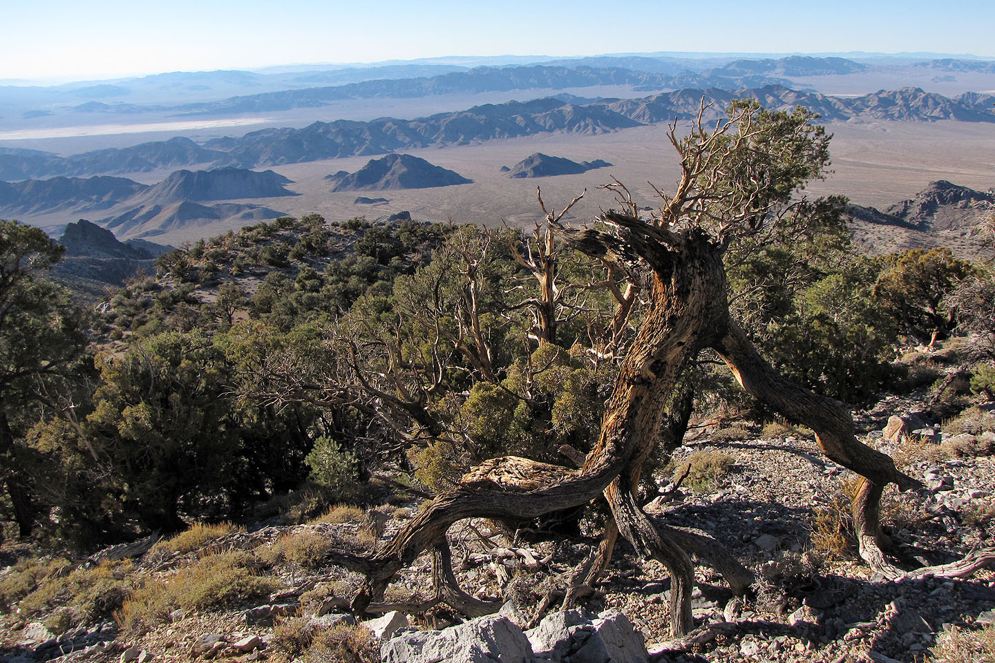
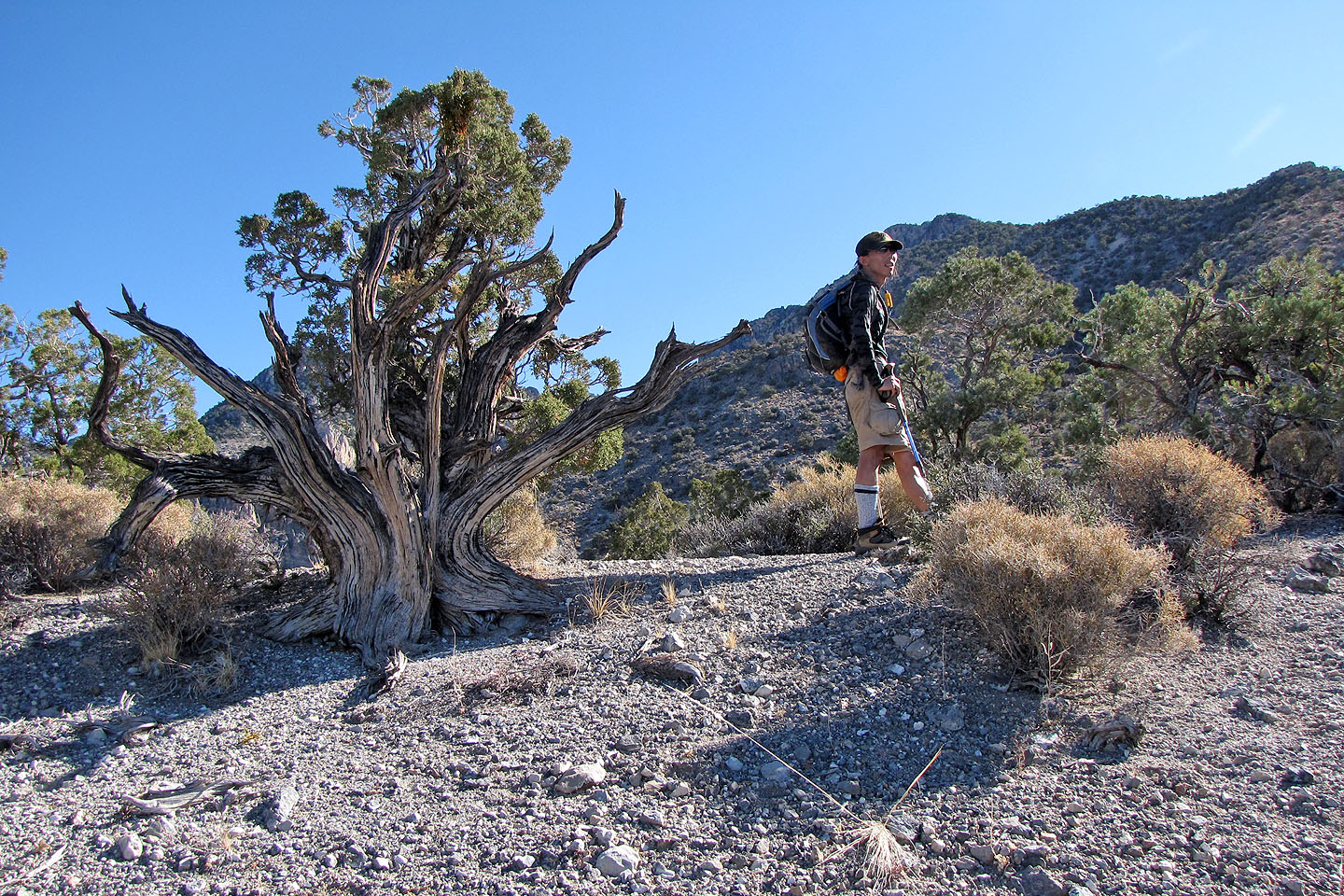
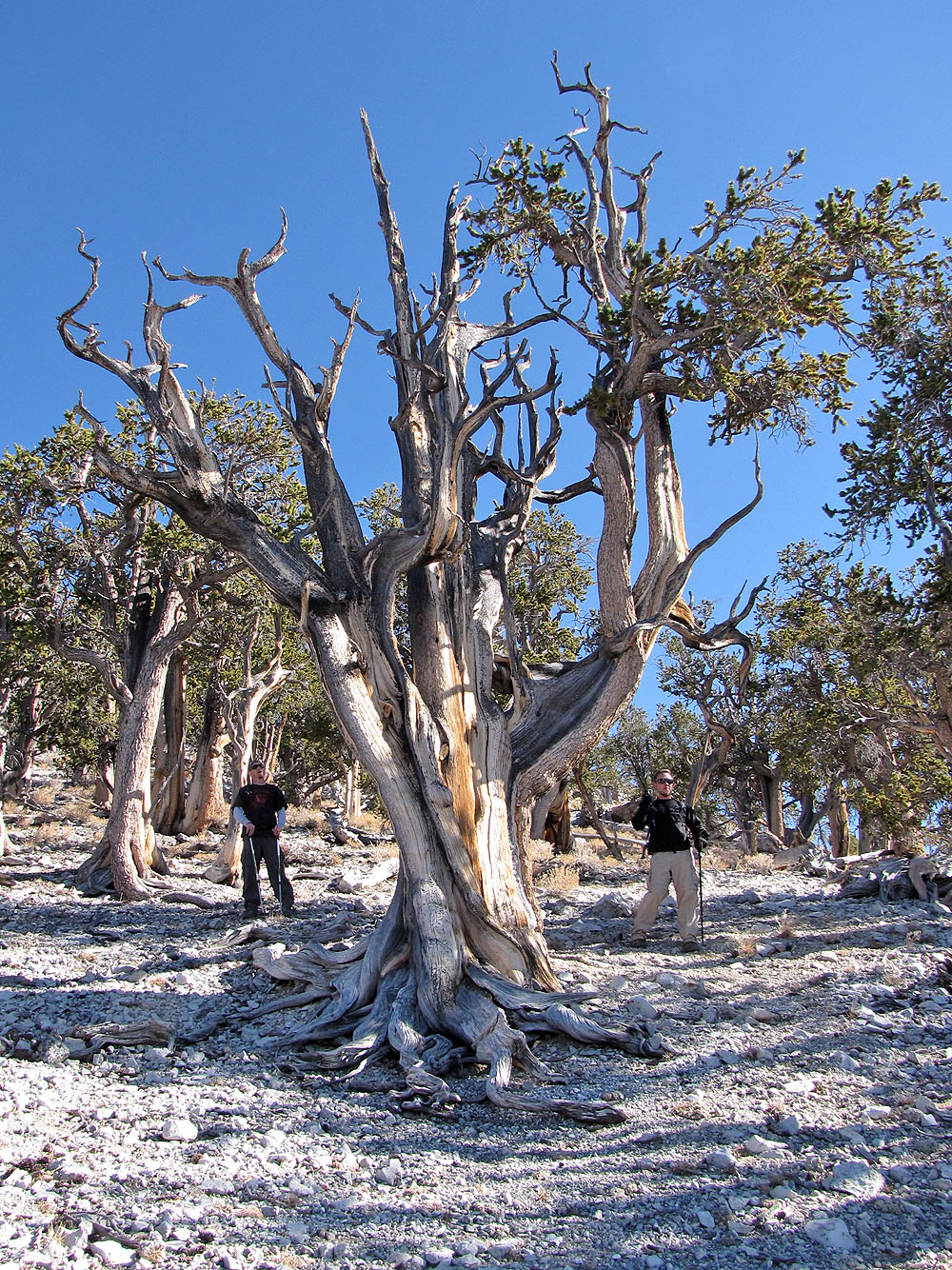
Upside down tree
Heading along the last ridge back
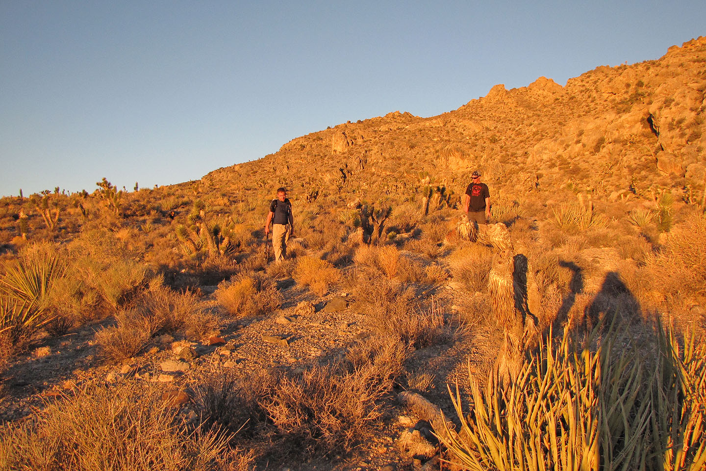
Joshua trees on the lower slopes
We made it back before nightfall
Black Hills and Sheep Peak (8.3 mi, 9744 ft, 4390 ft)