bobspirko.ca | Home | Canada Trips | US Trips | Hiking | Snowshoeing | MAP | About

Anniversary Narrows Peak
Lake Mead NRA, Nevada
November 5, 2010
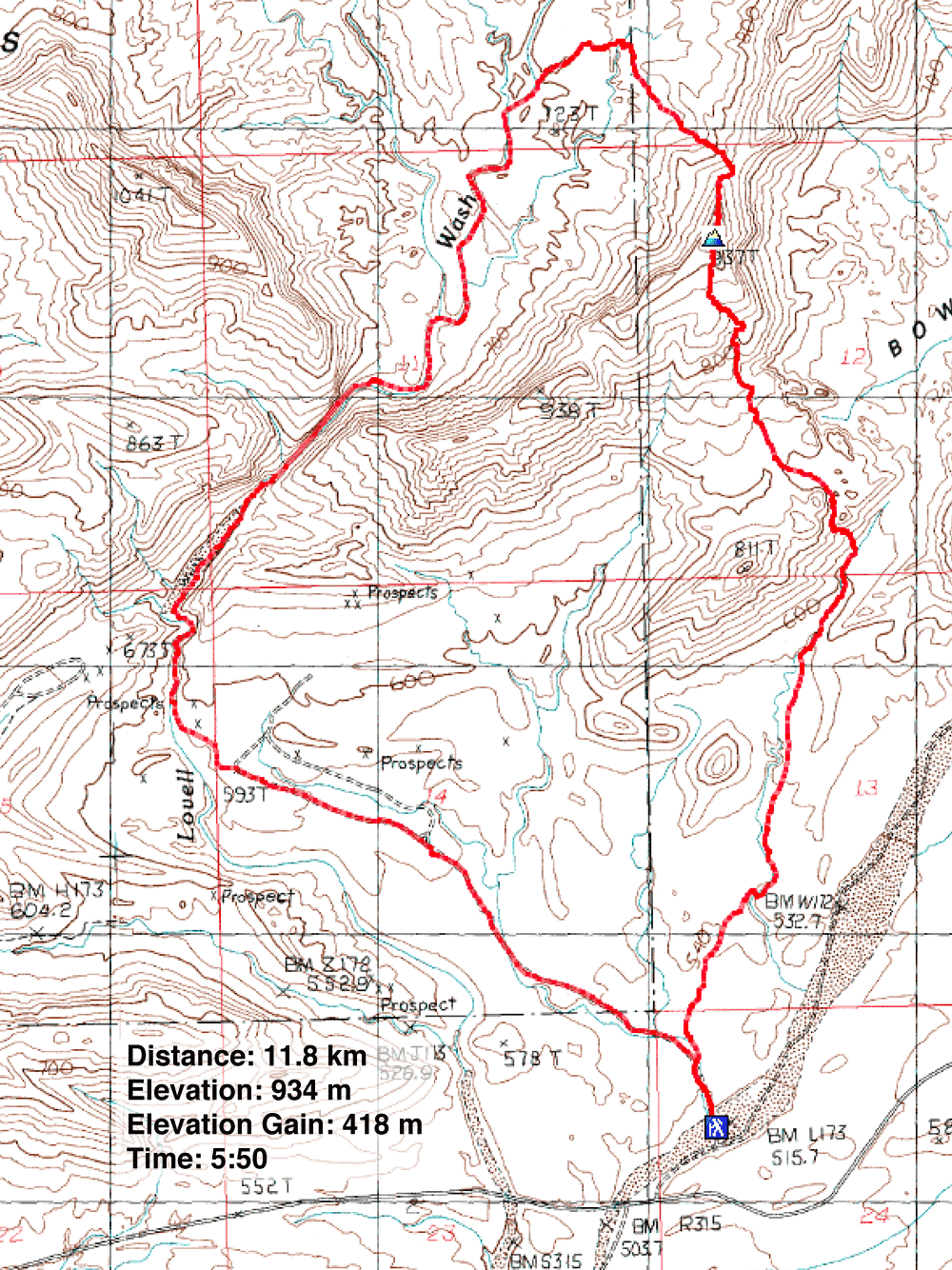
Distance: 11.8 km (7.3 mi)
Cumulative Elevation Gain: 432 m (1417 ft)
When I first considered Las Vegas as a climbing vacation, Anniversary Narrows immediately caught my interest.
Touted as a beautiful slot canyon, it was not to be missed. But it wasn't until I came across a route
description in Hiking in Southern Nevada by Branch Whitney that I decided to do it. This route is a
loop that not only includes the narrows and a peak but also goes through a colourful wonderland called Bowl of
Fire.
The trip starts on Callville Wash North Road which leads to Lovell Wash. Once in the wash, Dinah and I
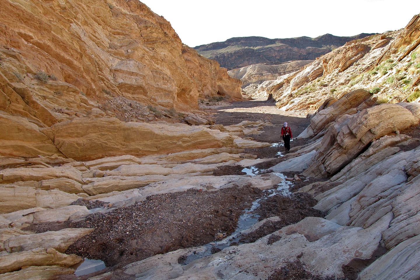
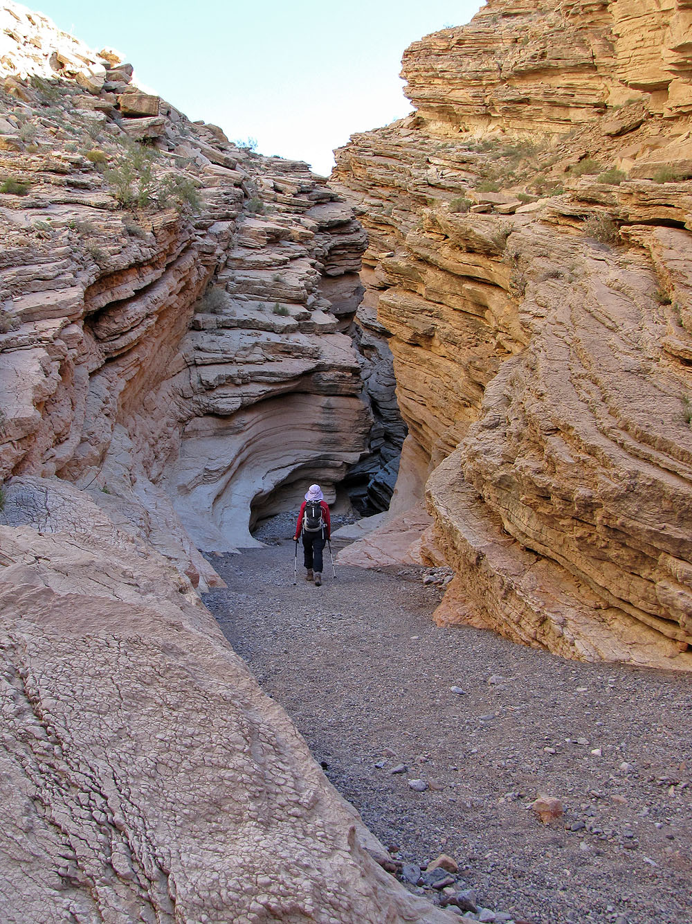
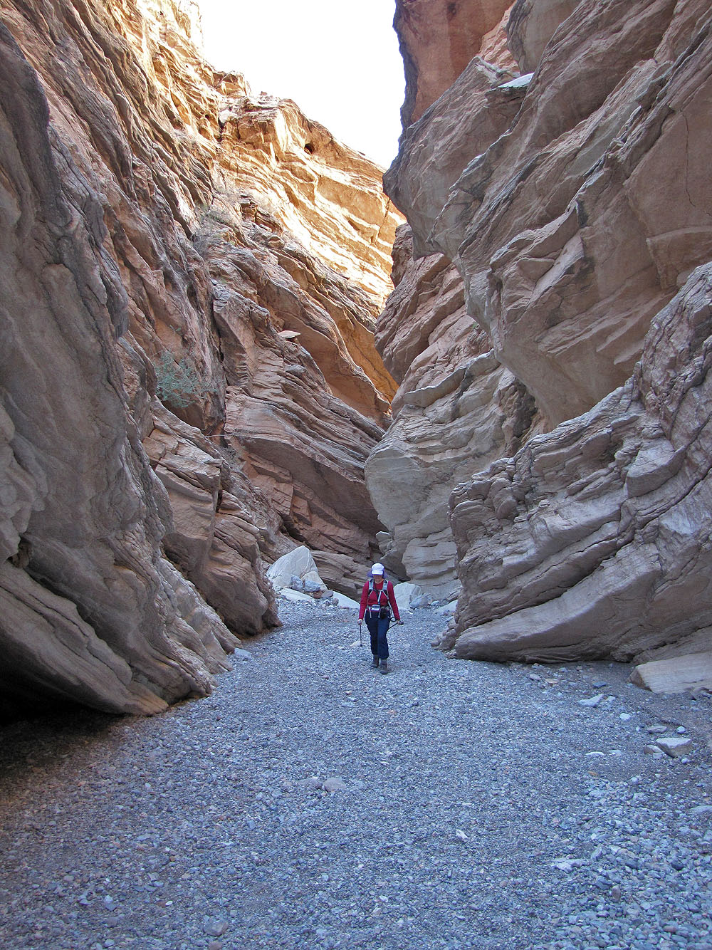
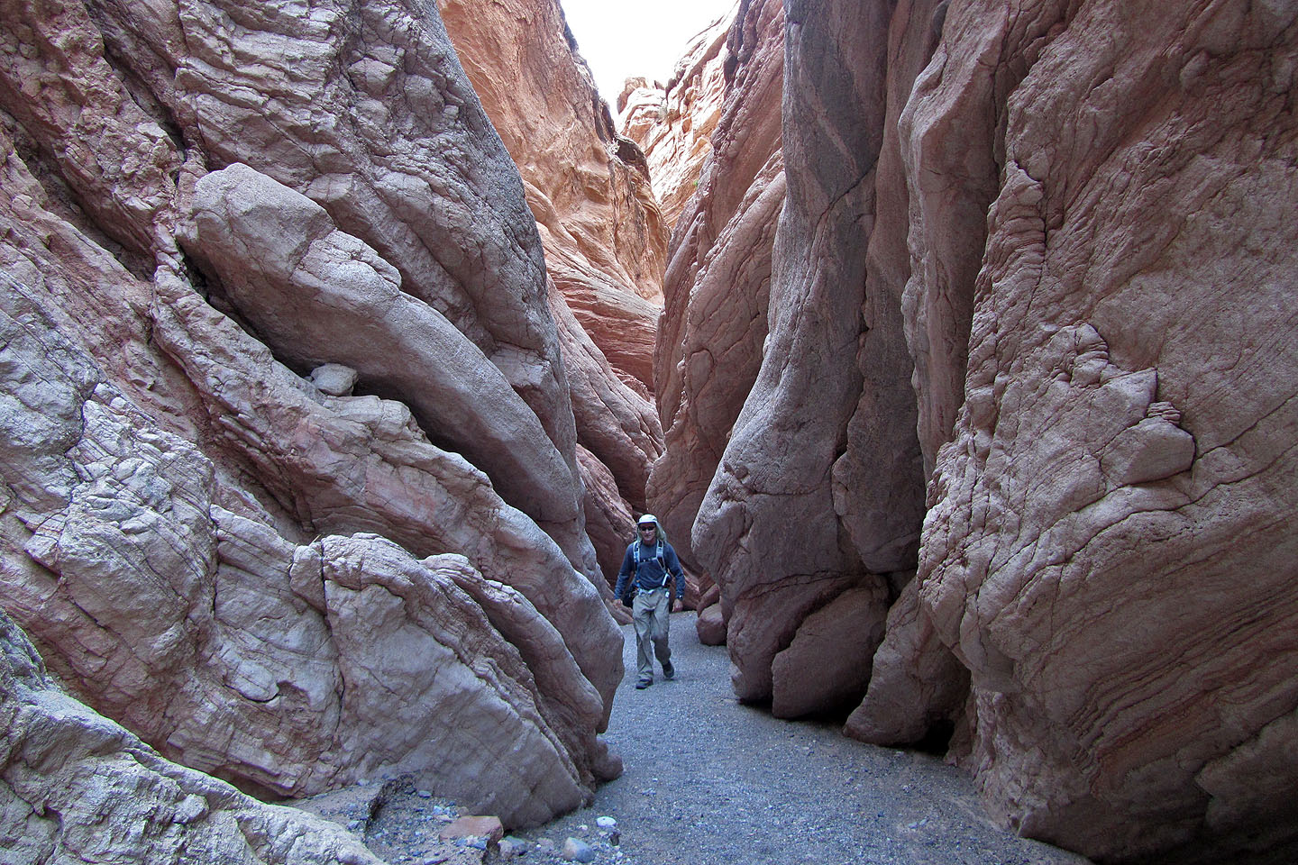
followed it to the Anniversary Narrows. The narrows are defined by steep walls so close together only one
person at a time can pass through some sections. The slot canyon extends for a couple of hundred metres.
After the narrows, we hiked up a wash to the base of Anniversary Narrows Peak and scrambled to the summit. But
our adventure was not yet over. From the summit, we descended into the west end of the Bowl of Fire, aptly
named for the rich red rock that fills it. After crossing the bowl, we dropped down a steep slope and hiked
across the desert back to the car.
Although the route is complicated – there are many twists and turns as well as landmarks to look for – we easily stayed on track. I highly recommend it.
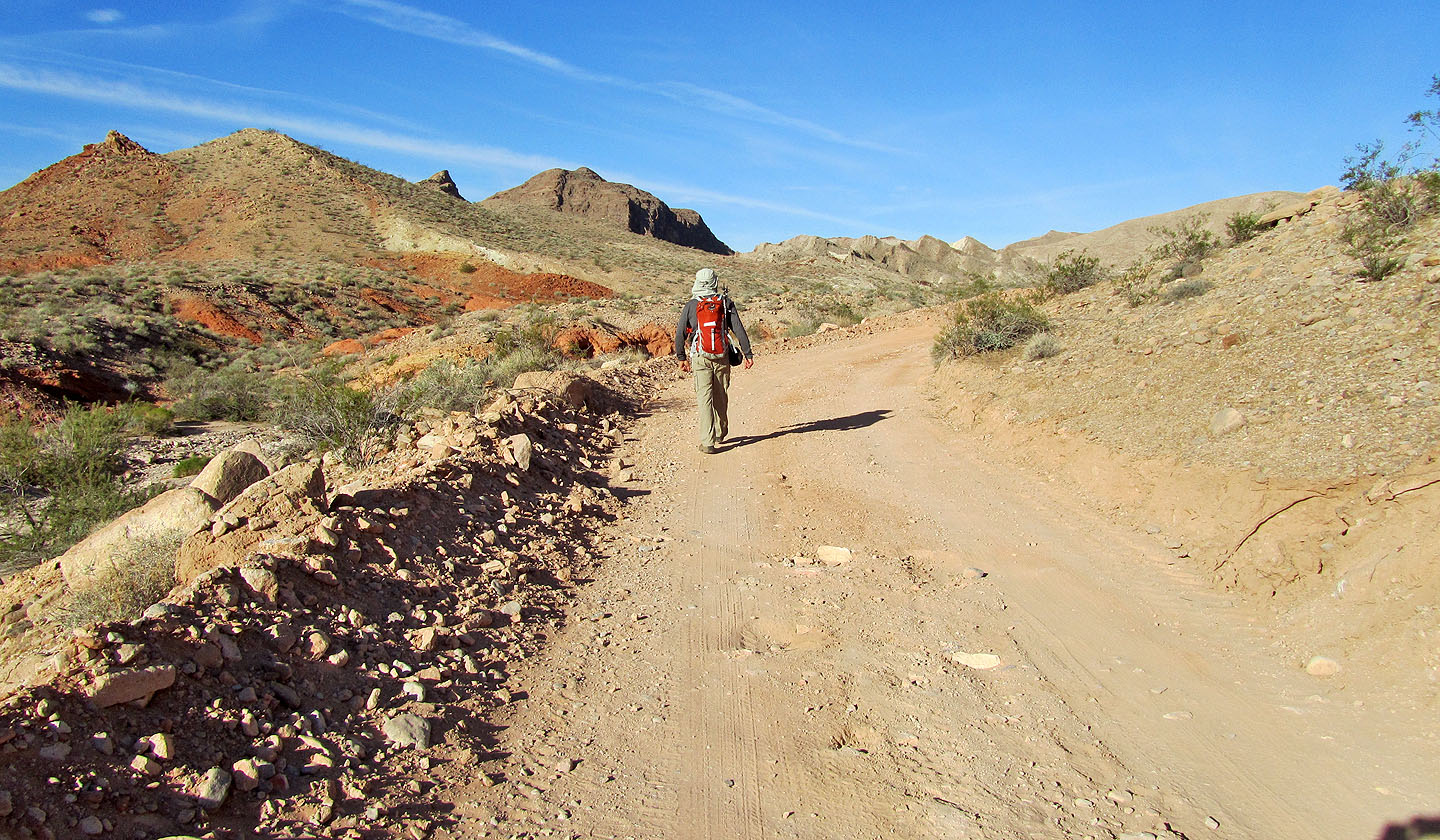
Colourful scenery as we started out on Callville Wash North Road
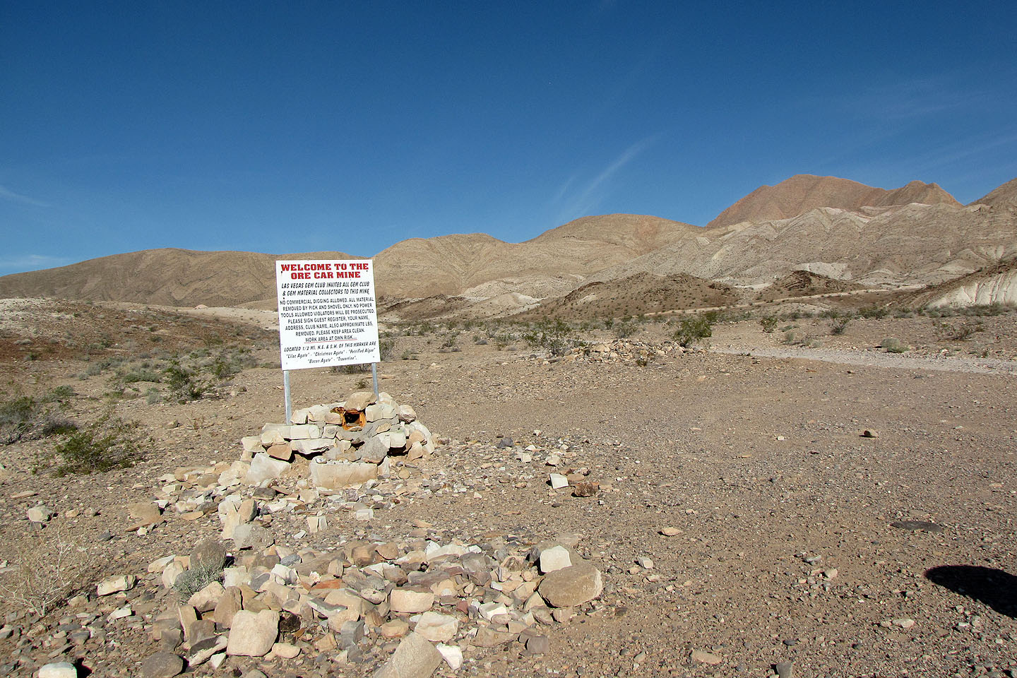
Ore Car Mine sign (mouse over to read)
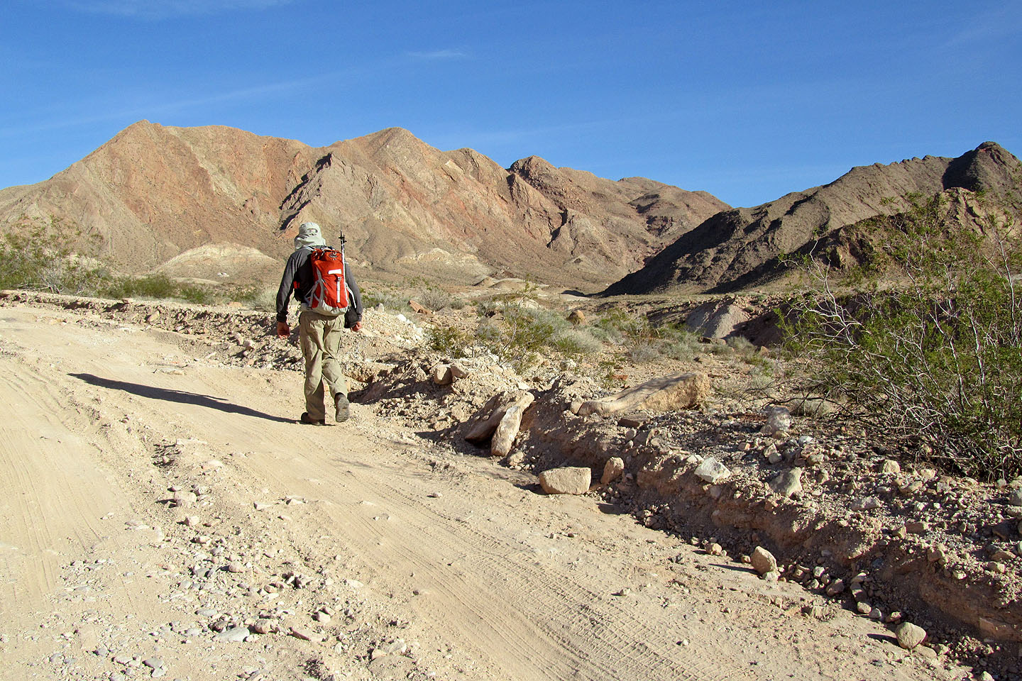
Anniversary Narrows Peak is at the far right end of the background ridge
Starting up Lovell Wash
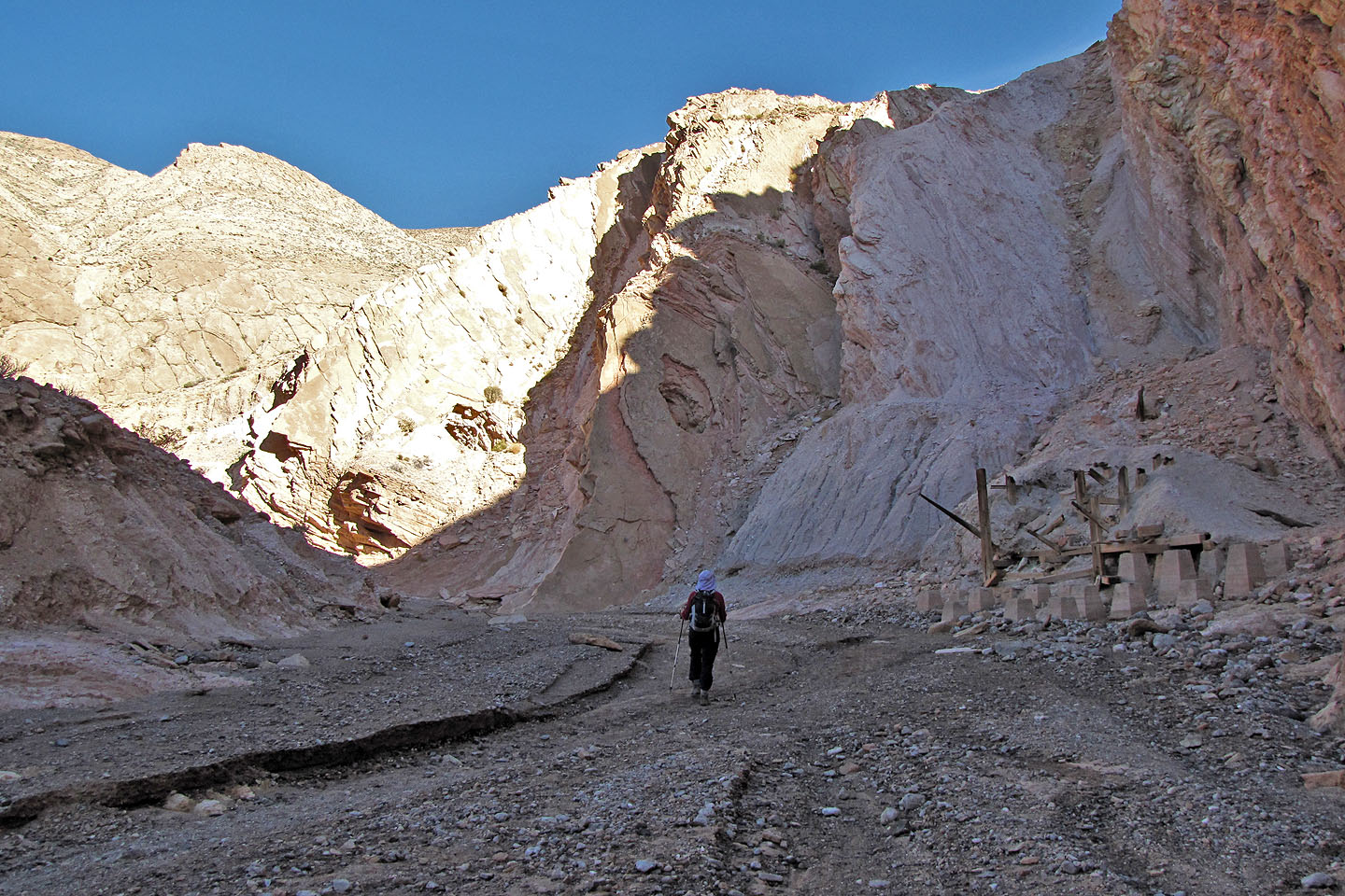
Remnants of Anniversary Mine date back to the 1920s.
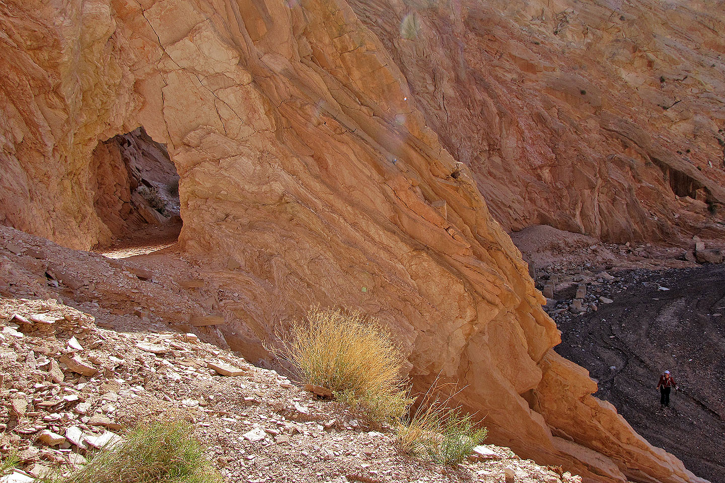
Looking back at the first tunnel. Dinah remained below, in the wash.
The tunnels seen from the wash
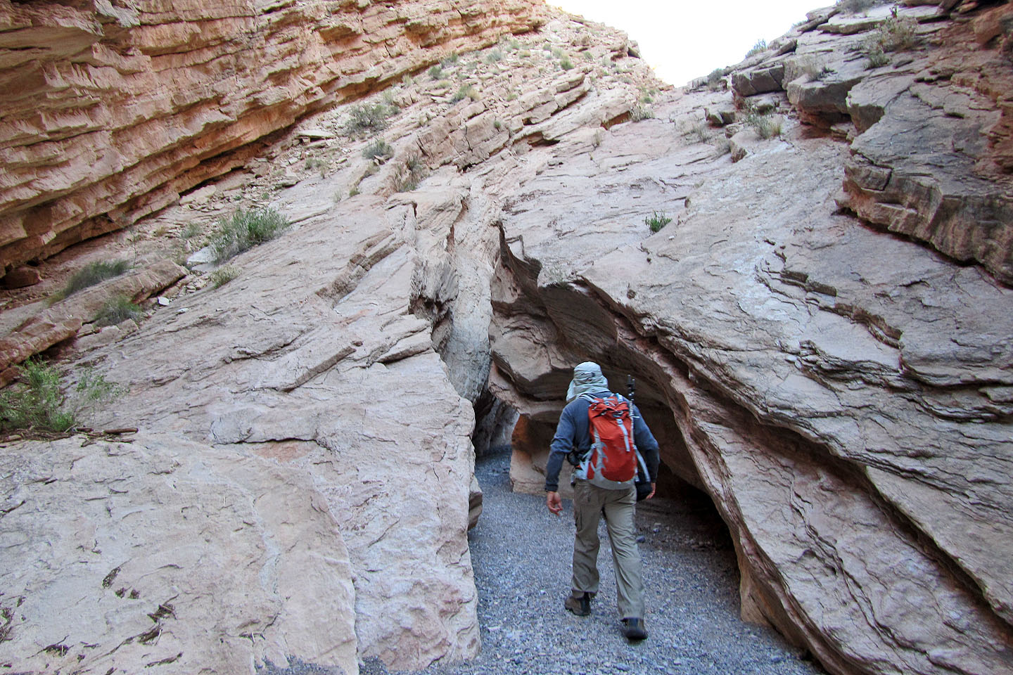
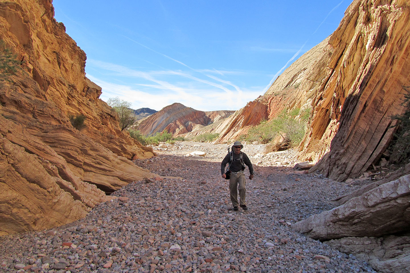
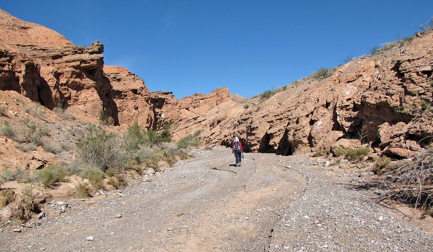
Entering Anniversary Narrows
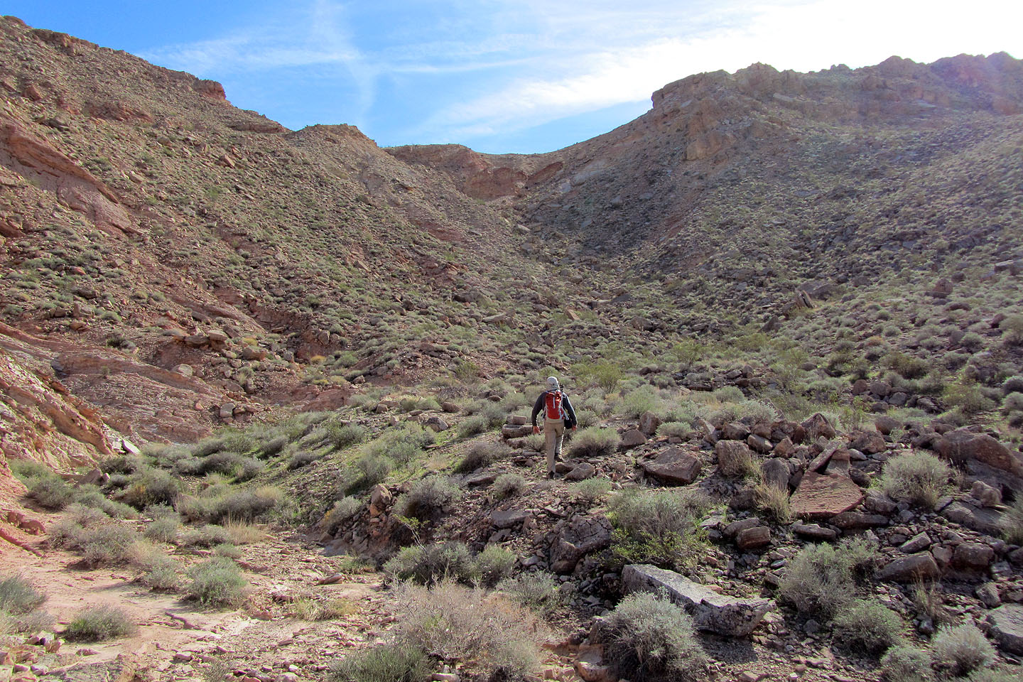
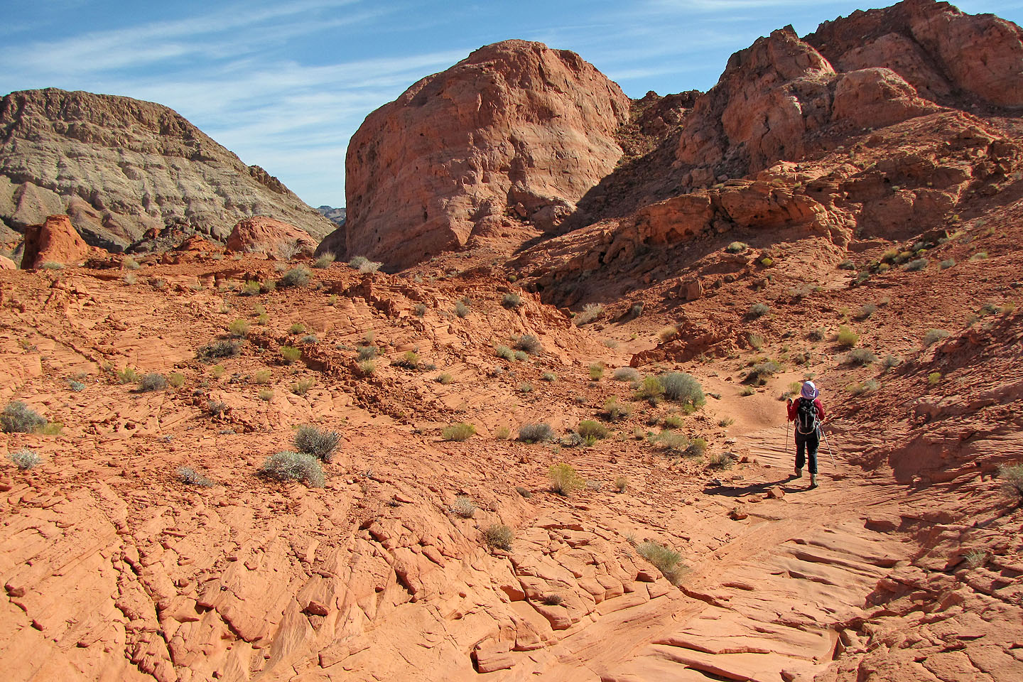
Continuing up the wash after leaving the Narrows
Heading to the saddle
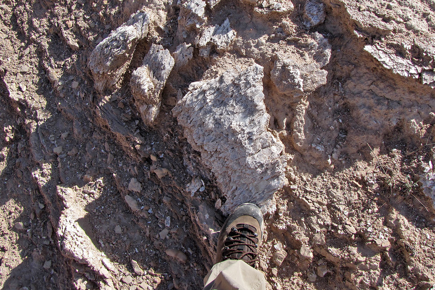
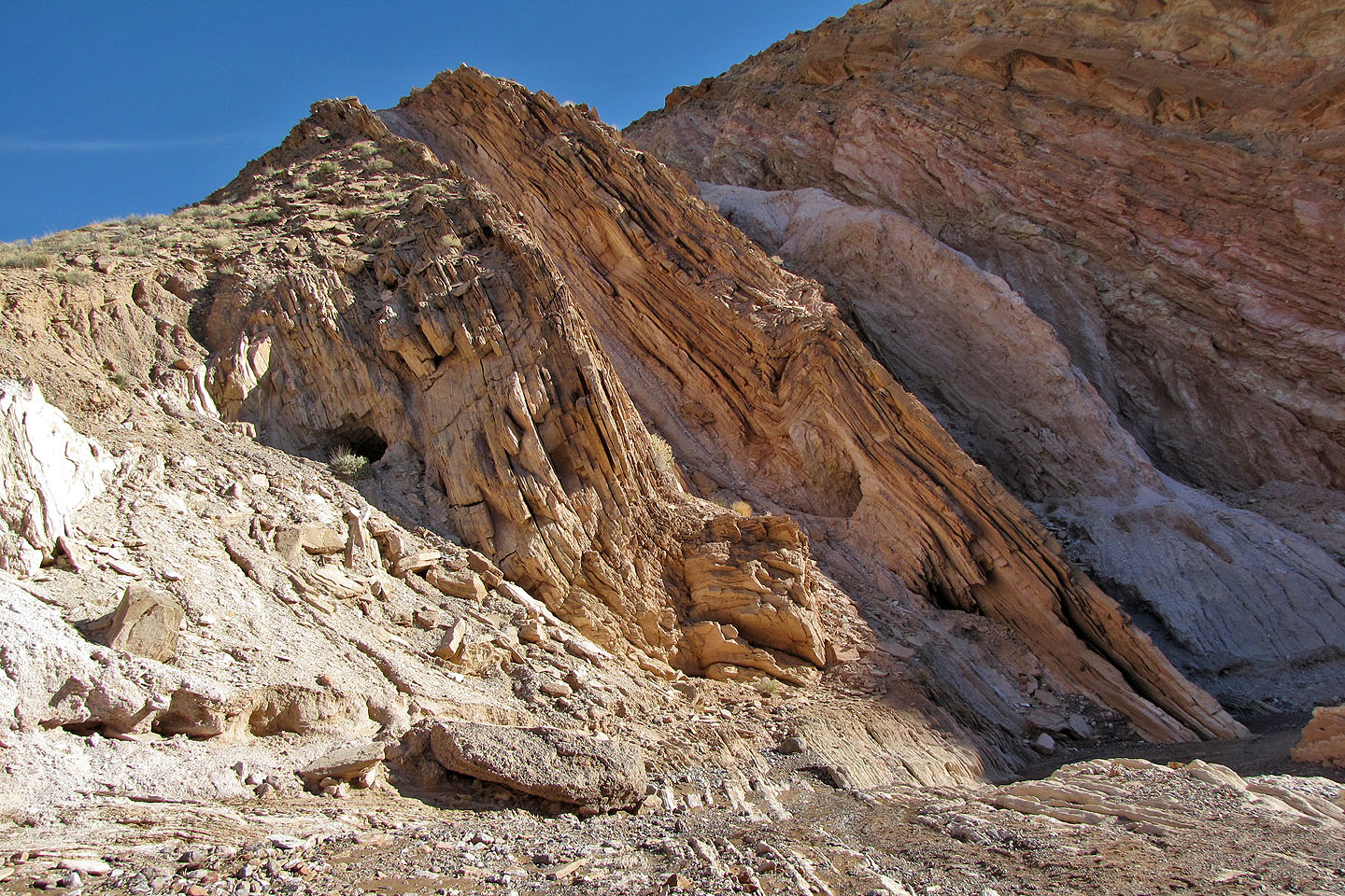
Gypsum (mouse over for a close-up)
Looking back as we headed to the saddle
Another look back
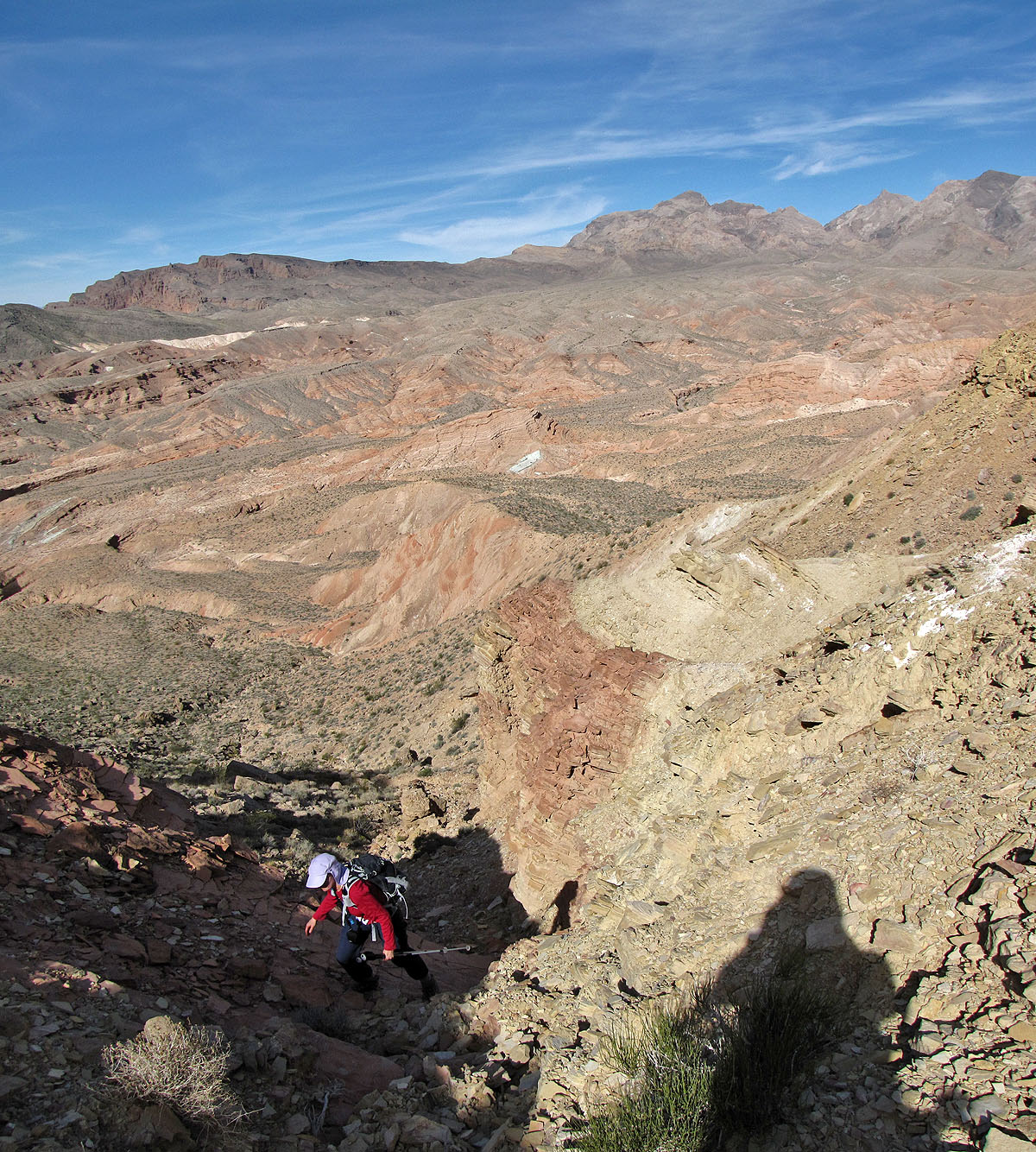
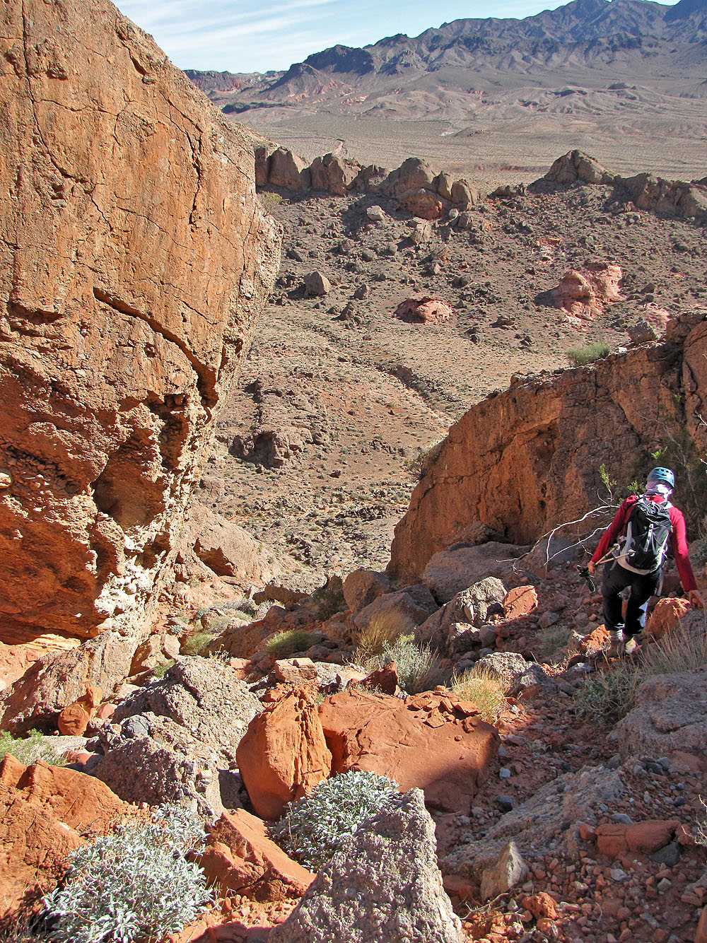
Hiking up from the saddle
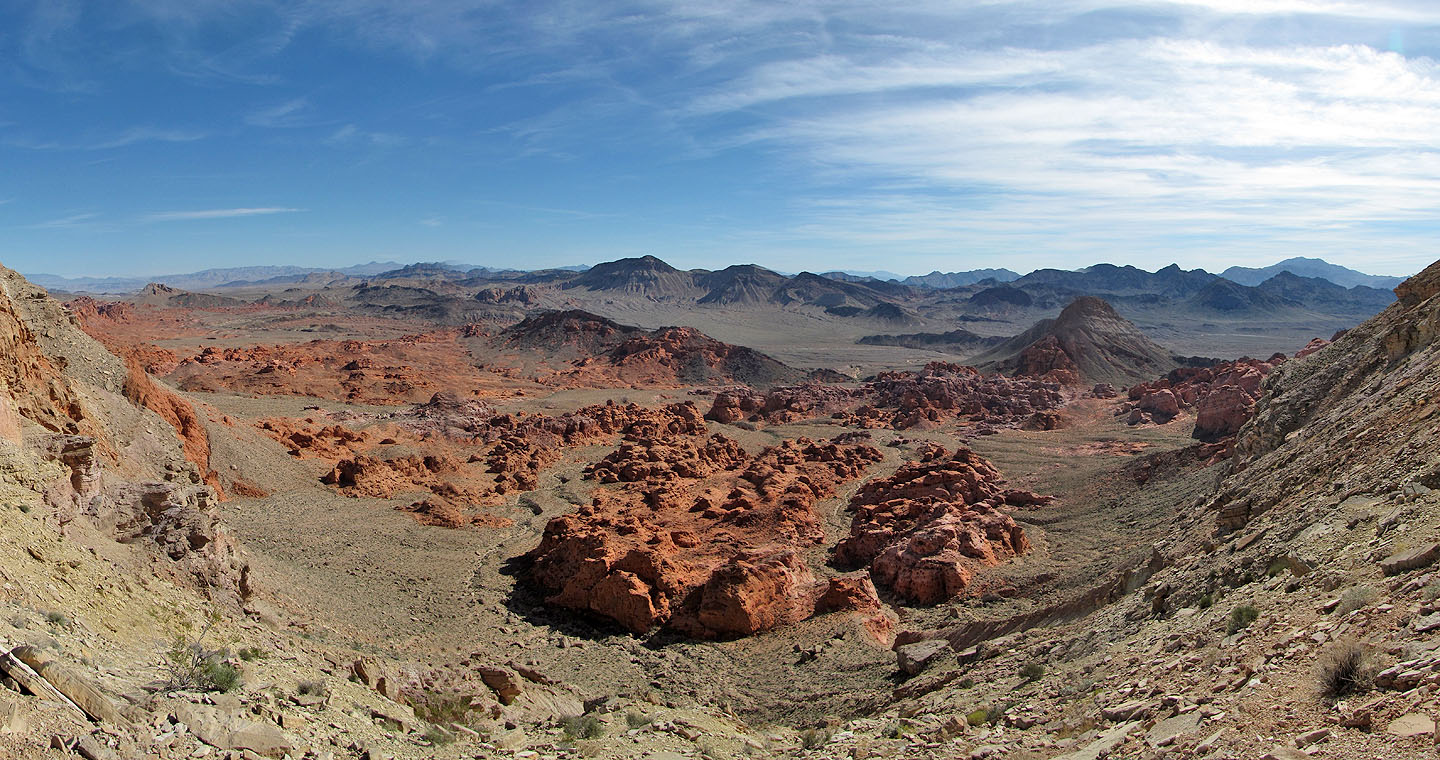
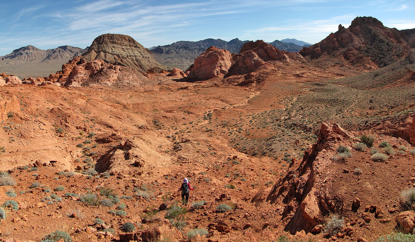
Bowl of Fire
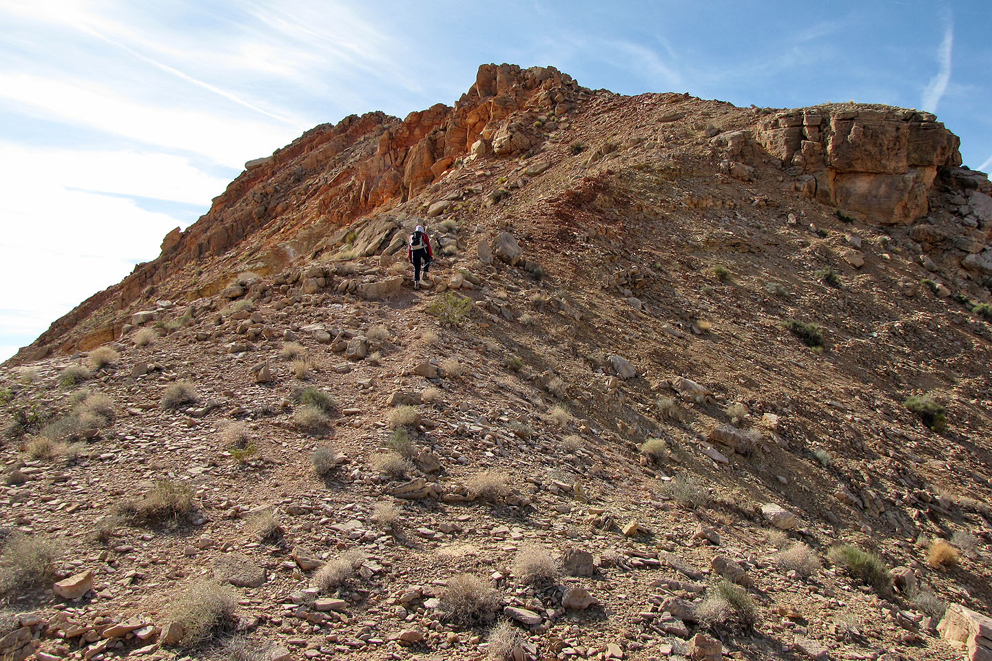
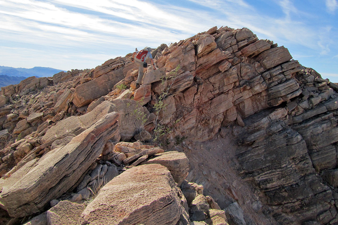
Scrambling on the ridge. Muddy Mountain in the background
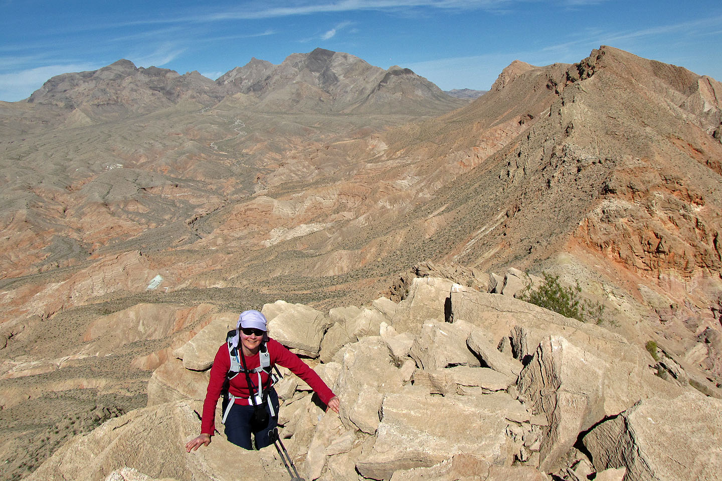
The summit
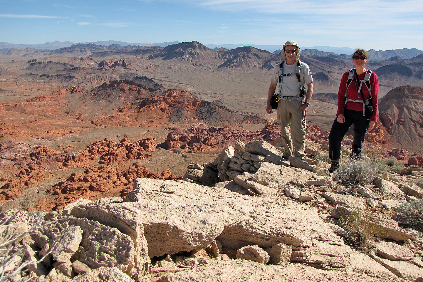
Obligatory summit pose
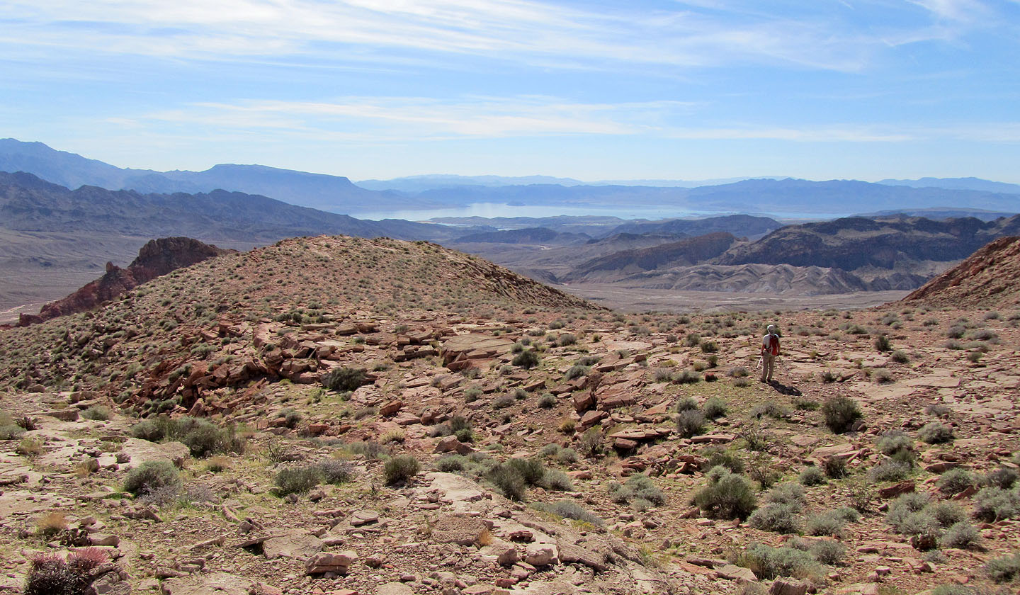
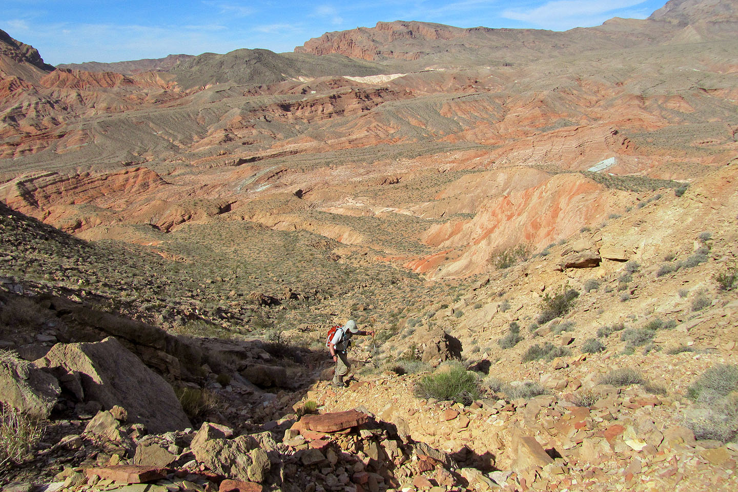
Heading down, Lake Mead in the distance
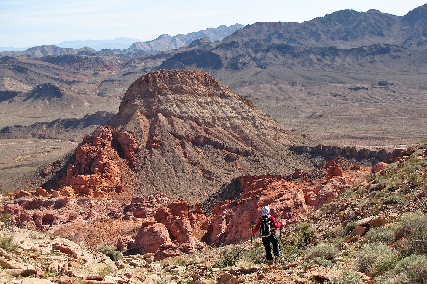
Heading to the Bowl of Fire. Murphy's Peak in foreground.
We headed straight ahead and turned right after passing the block of sandstone.
Polytick Peak is right.
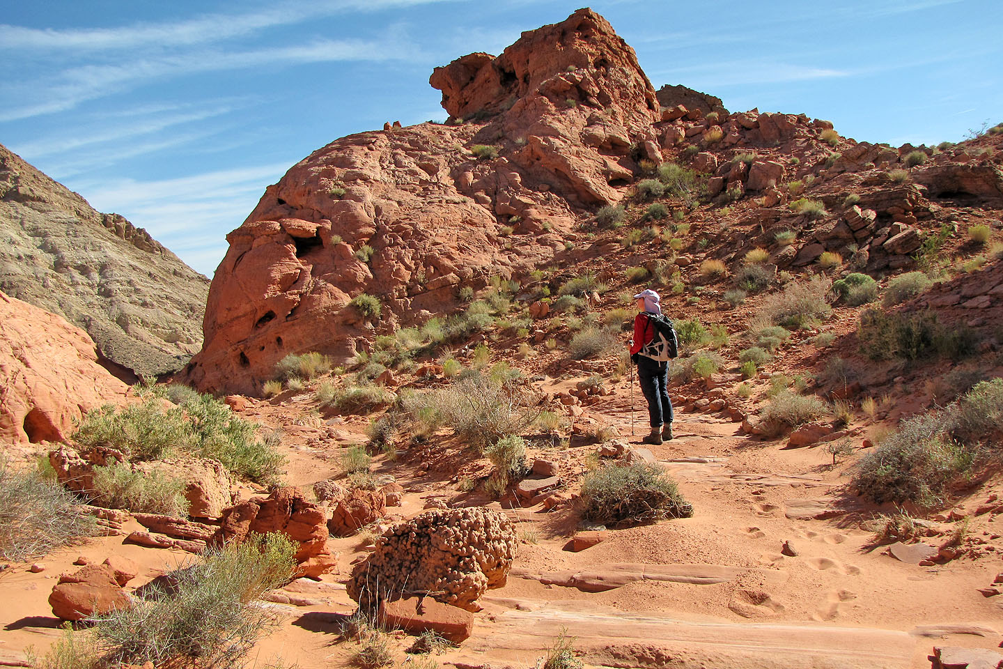
Nearing the sandstone block
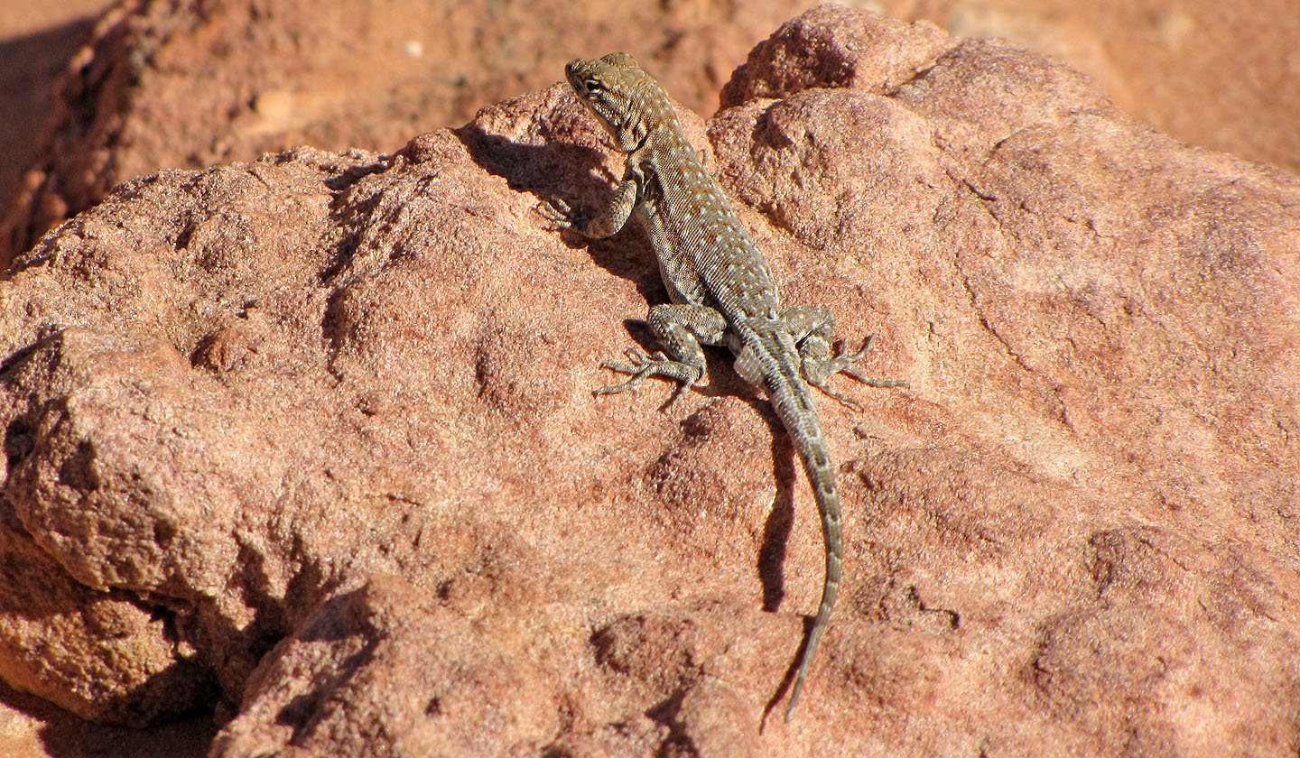
Lizard
Behind the sandstone block there's a 10 m drop (left, in the notch). As per instructions, we ascended the
ridge on the right.
On the other side of the ridge, we descended a class 3 slope
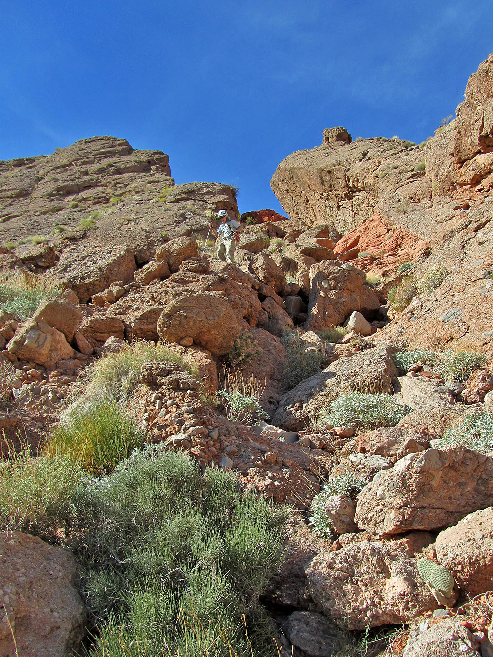
Looking up the slope
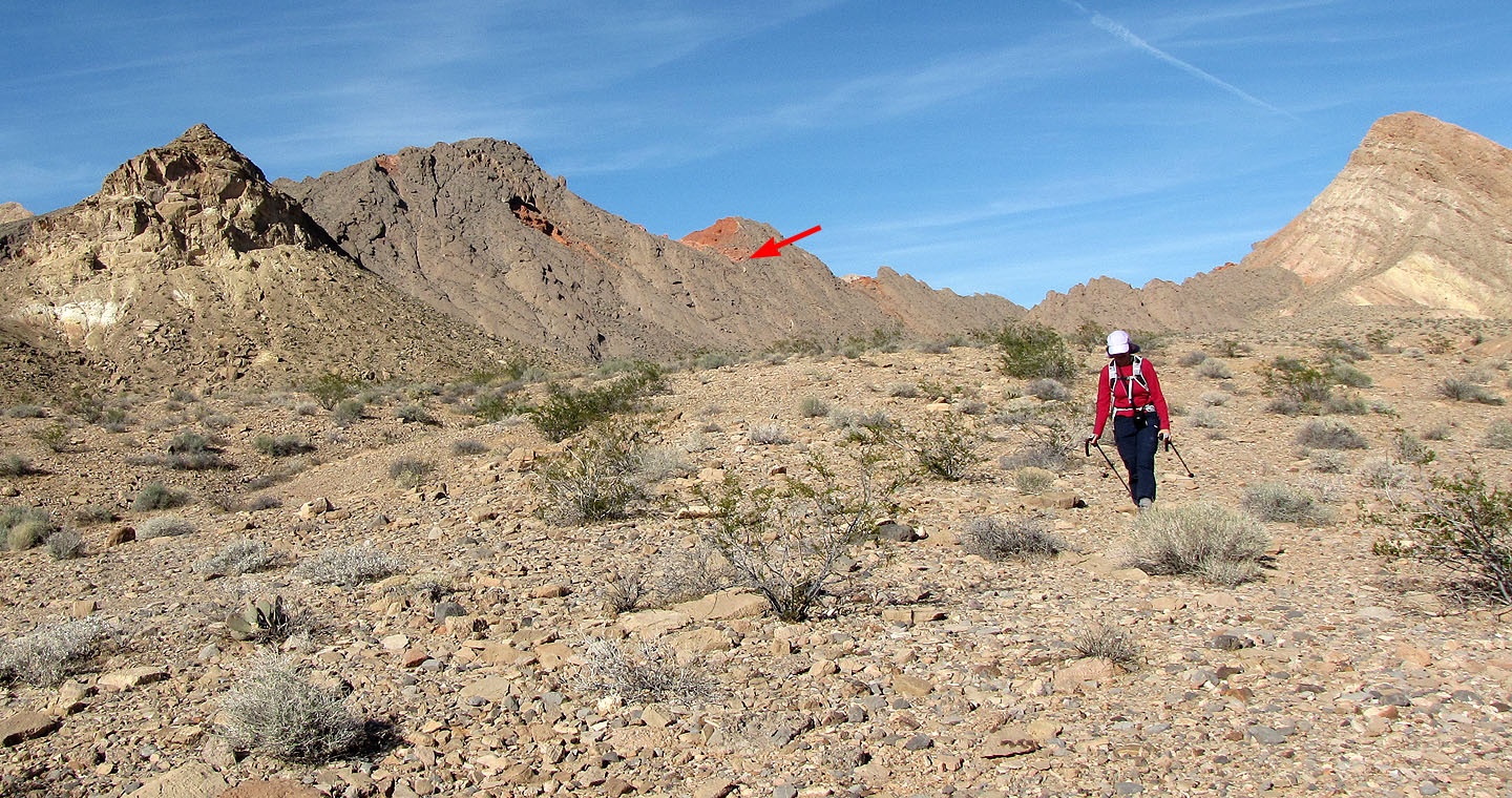
After dropping down the slope (arrow) we hiked across the desert back to our car
Callville Bay (7.3 mi, 3064 ft, 1371 ft)