bobspirko.ca | Home | Canada Trips | US Trips | Hiking | Snowshoeing | MAP | About

Polytick Peak (attempt)
Lake Mead NRA, Nevada
January 16, 2019
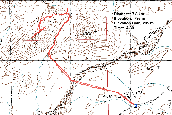
Distance: 7.8 km (4.8 mi)
Cumulative Elevation Gain: 303 m (904 ft)
It's not often that I come across an obscure peak that leaves me awestruck, but Polytick Peak is one such peak. I'm no stranger to sandstone peaks – Red Rock Canyon and the Valley of Fire have popular hikes through red sandstone – but Polytick stands out as it's both unknown and spectacular.
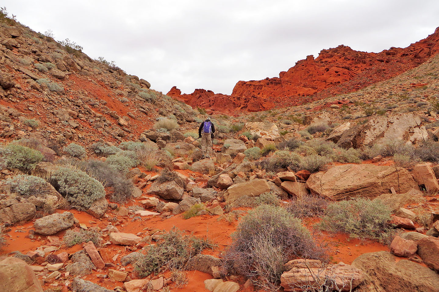
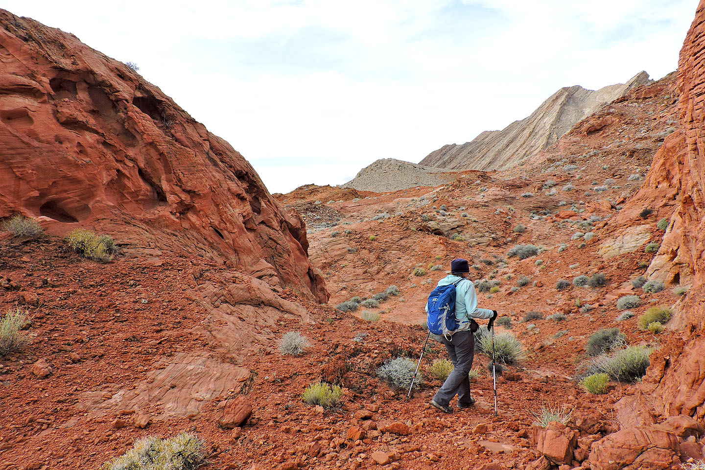
Our trip began at a pullout on Northshore Road. Dinah and I set off across the desert flats toward Polytick Peak. After hiking just over a klick, we reached Callville Wash North Road. One could drive the dirt road to this spot, but it's better left to 4WD vehicles. We crossed the road and continued to Polytick, heading to a rise that we would cross before dropping into a wash. Although we found ourselves at the base of Polytick, the slope of gray rock was too steep to tackle head-on; we turned right and followed the wash to the Bowl of Fire, an area known for its brick-red sandstone formations.
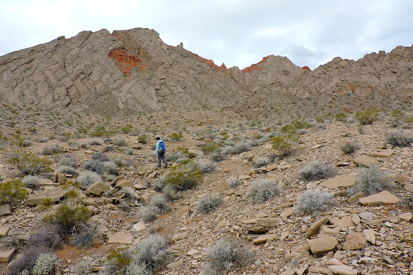
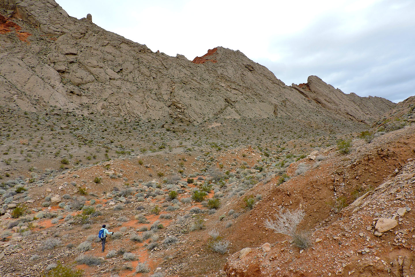
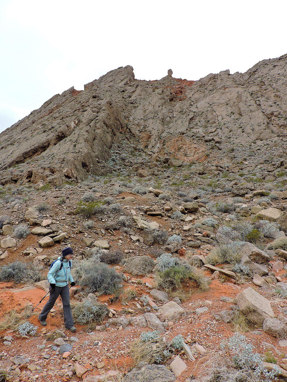
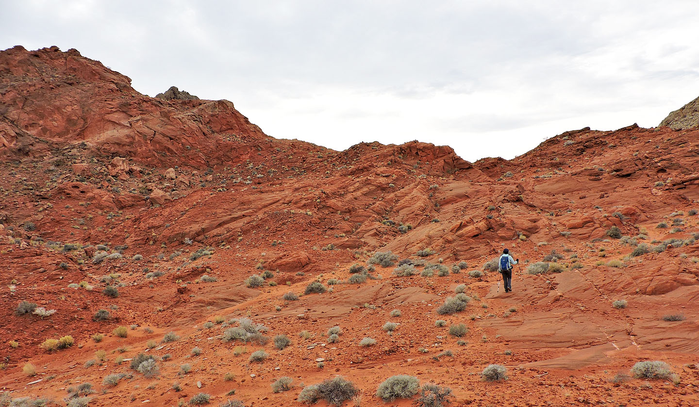
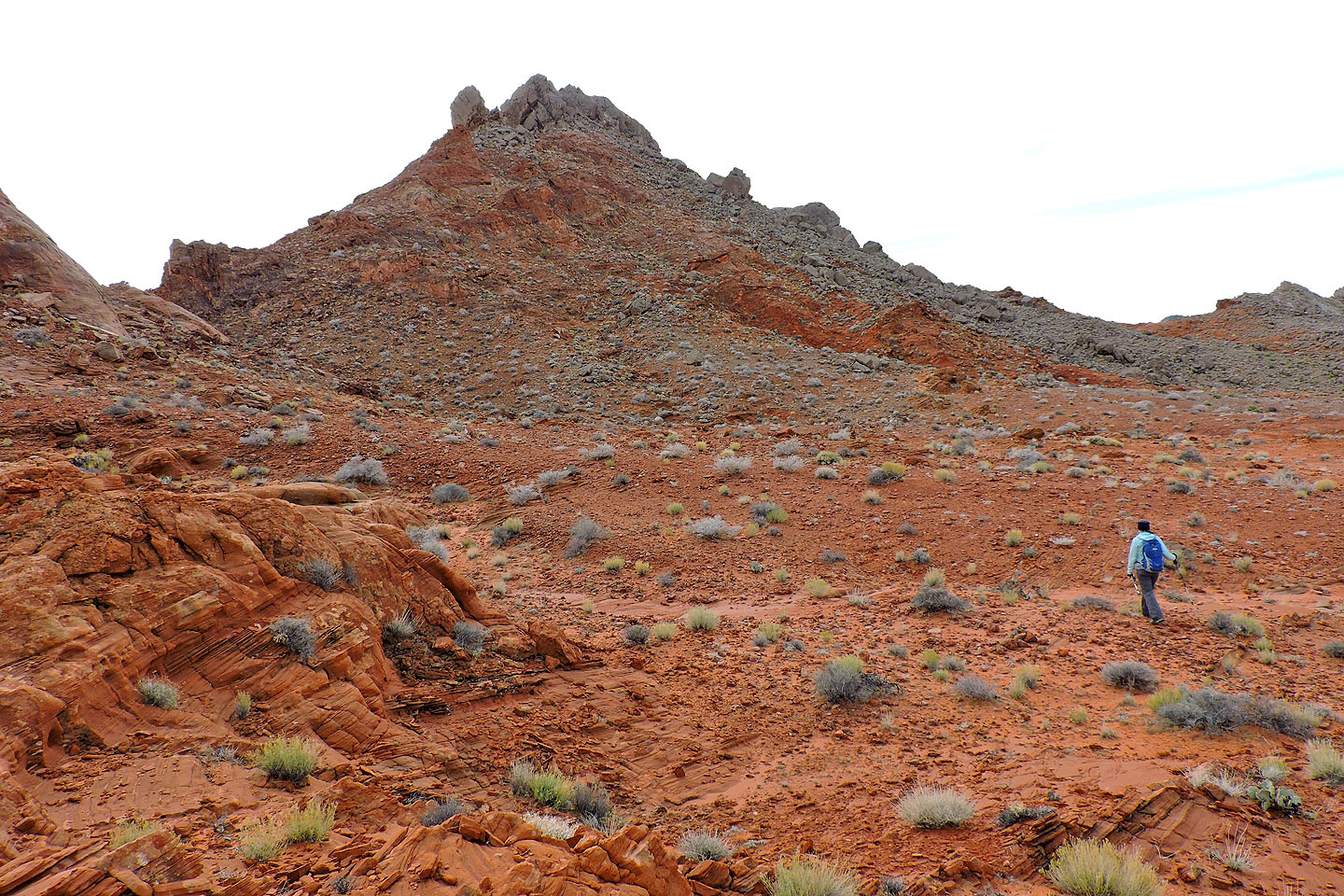
We turned left and sought the steep ramp that leads to a plateau on the north side of Polytick. After crossing the plateau, and after going over a low ridge, the peak came into view. Its gray slabs stood out in stark contrast to the red plateau. We started up the slope.
We had no trouble reaching a spot just below the summit. But here, steep slabs were an obstacle to our summit bid. I scrambled up as high as I dared, stopping when the steep, smooth rock above me offered little purchase. Perhaps one could climb higher where two slabs met at a corner, but I wasn't comfortable with trying it. I was about a dozen metres below the summit when I turned around.
Fortunately, we could reach an easier point, the northeast subpeak. We dropped down to a saddle and hiked the sandstone monticule in no time. Although dozens of metres lower than the main peak, it still offered a commanding view of the Bowl of Fire.
We returned the same way, which gave us a chance to revisit the interesting nooks and crannies we had passed earlier. Although we didn't summit Polytick Peak, here was a trip where the journey through crimson rock was more appealing than the objective.
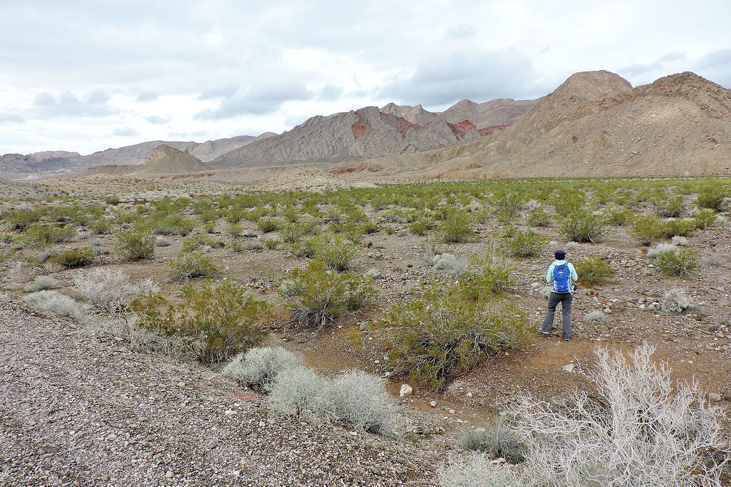
Polytick Peak seen from the road
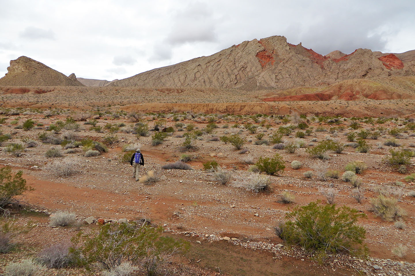
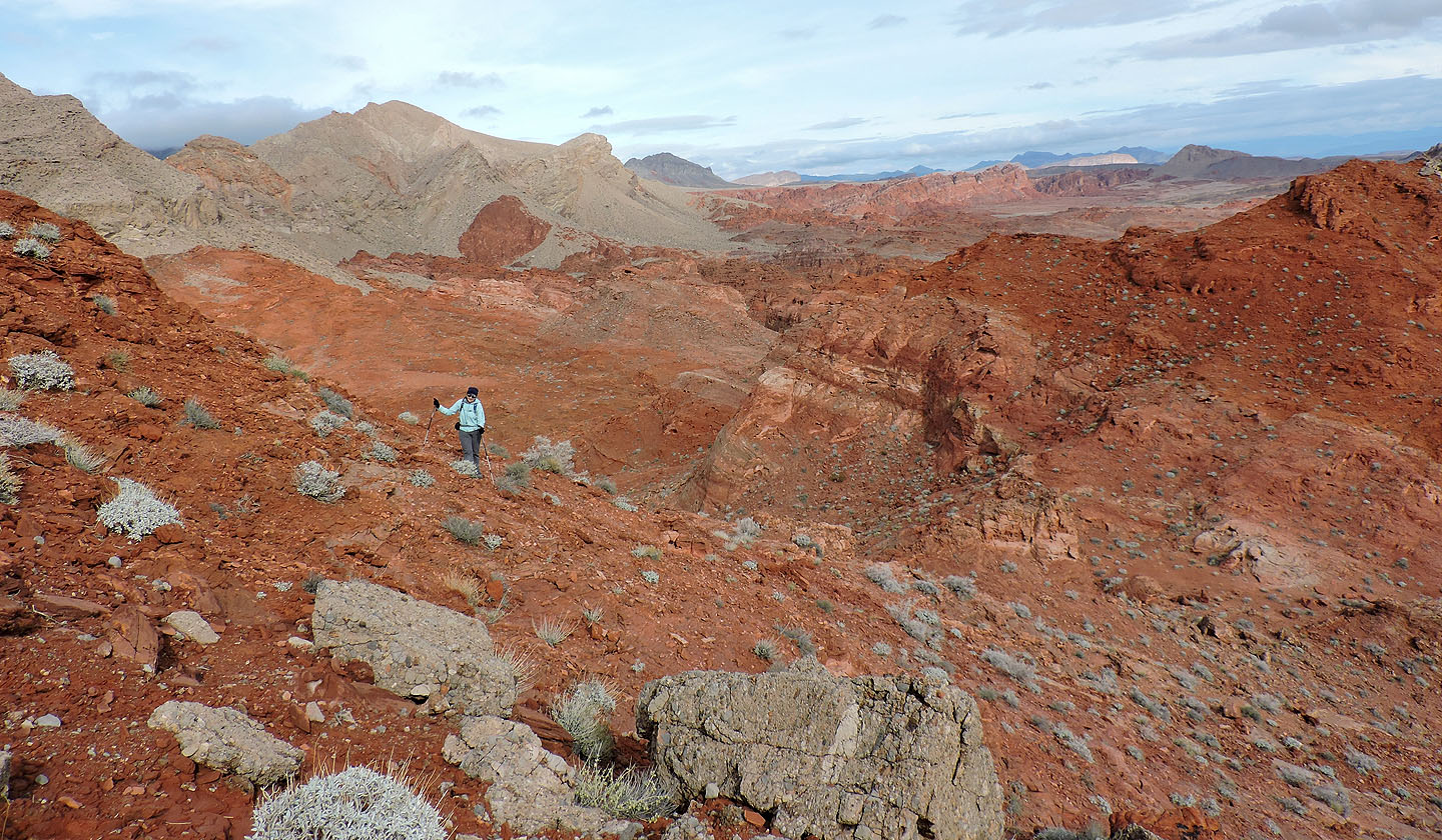
Drawing closer to Polytick
We'll cross the rise in front of us and drop down into a wash
Starting up the wash
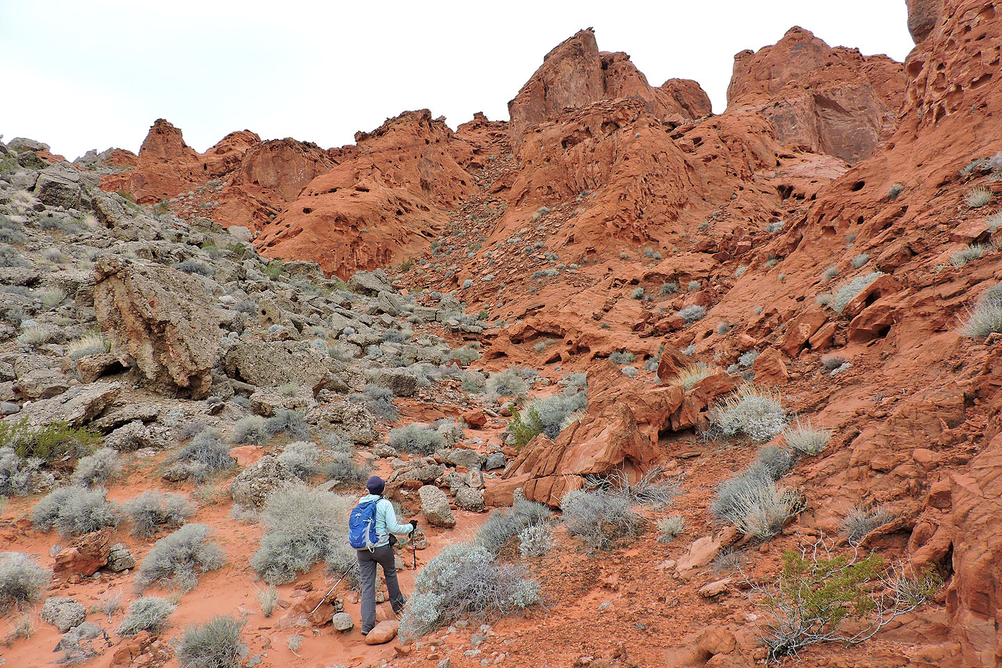
We passed under Polytick
We'll soon enter the Bowl of Fire
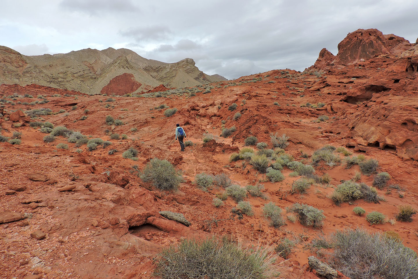
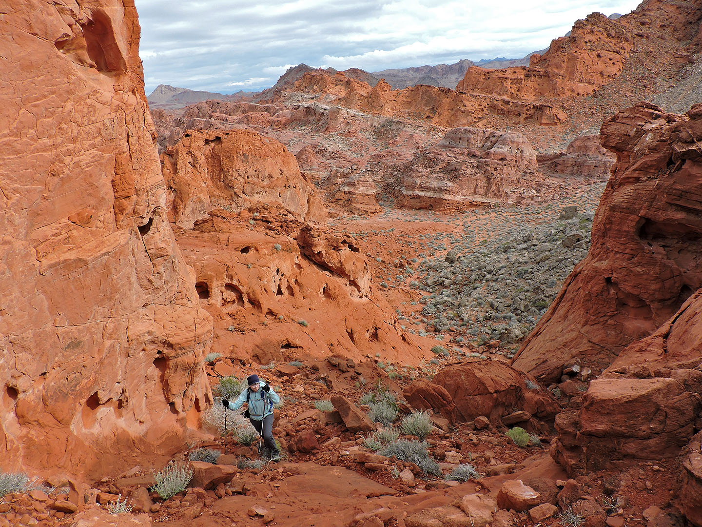
We need to turn left here, but first we wanted to take in the view ahead
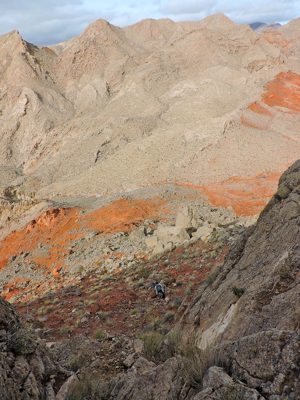
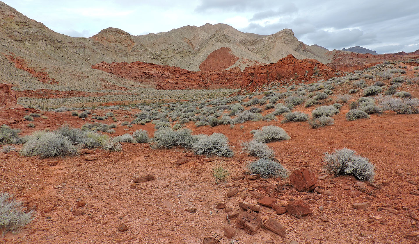 View of the Bowl of Fire
After turning left into a wash, we saw the ramp (above Dinah) that we'll ascend
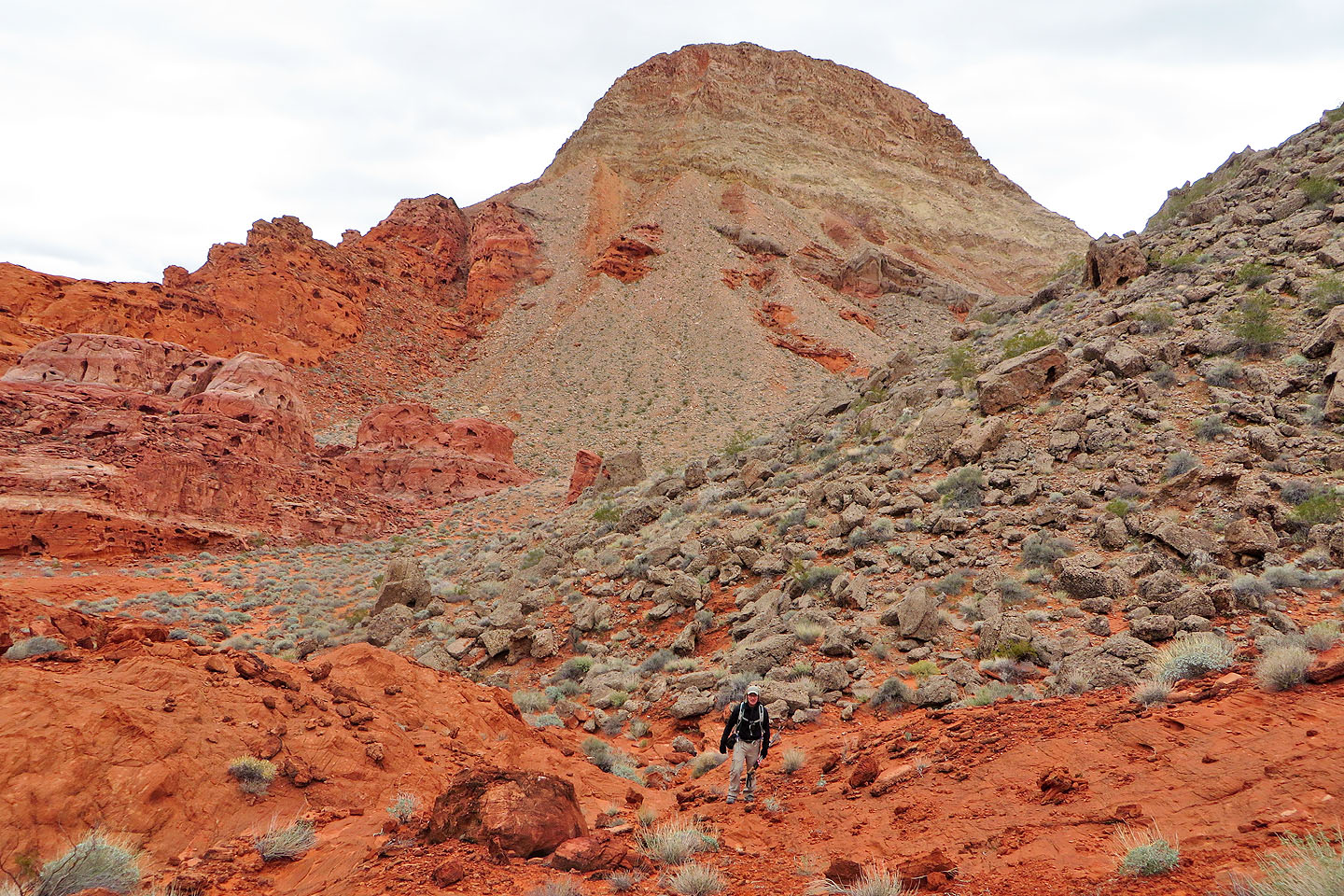
Behind us is Murphy's Peak
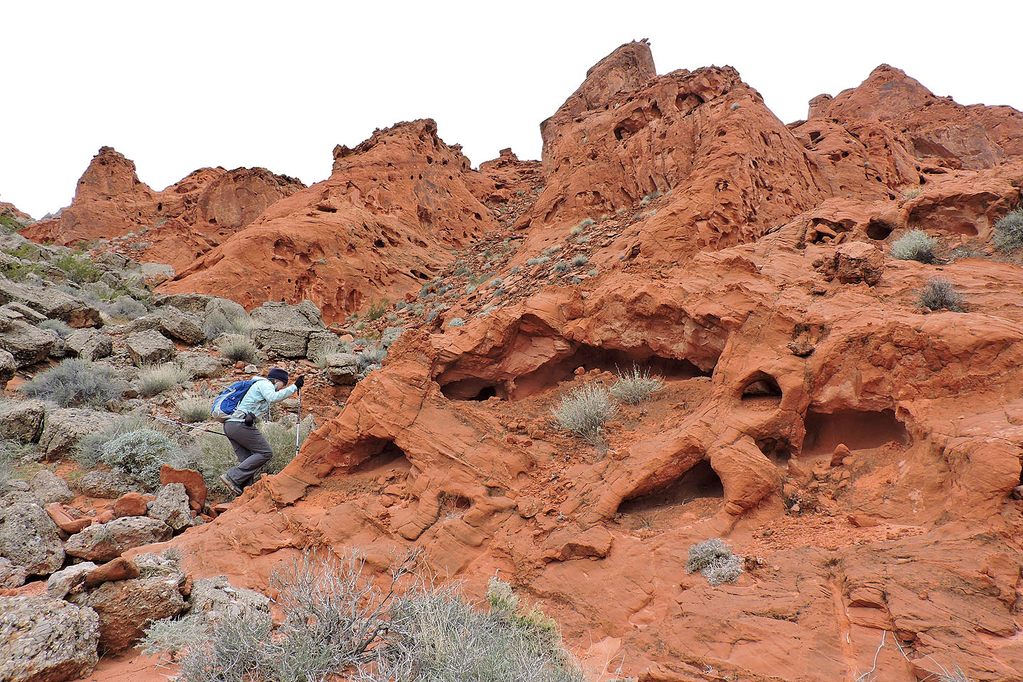
We were surrounded by unusual sandstone formations
We stopped to investigate a canyon next to the ramp
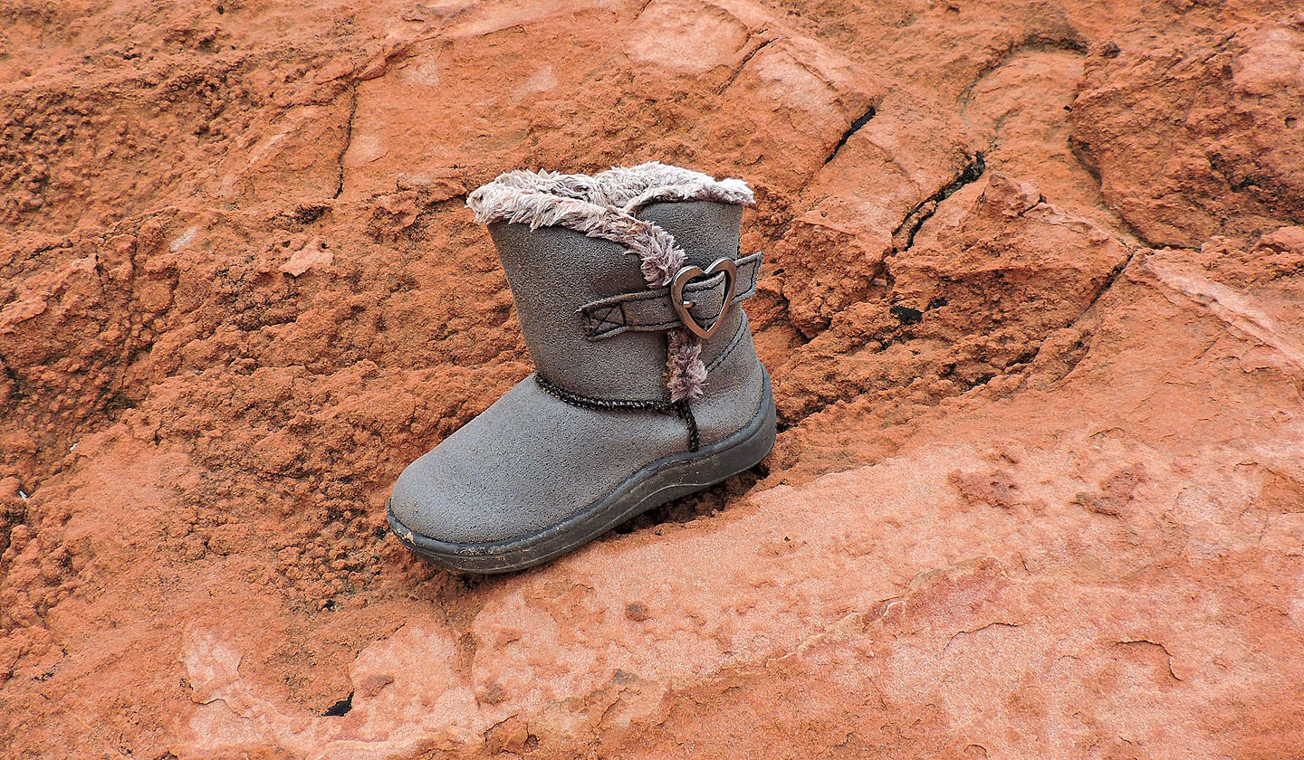
This toddler's winter boot was a puzzling find here
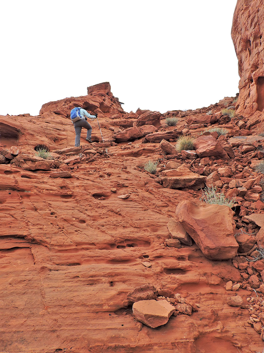
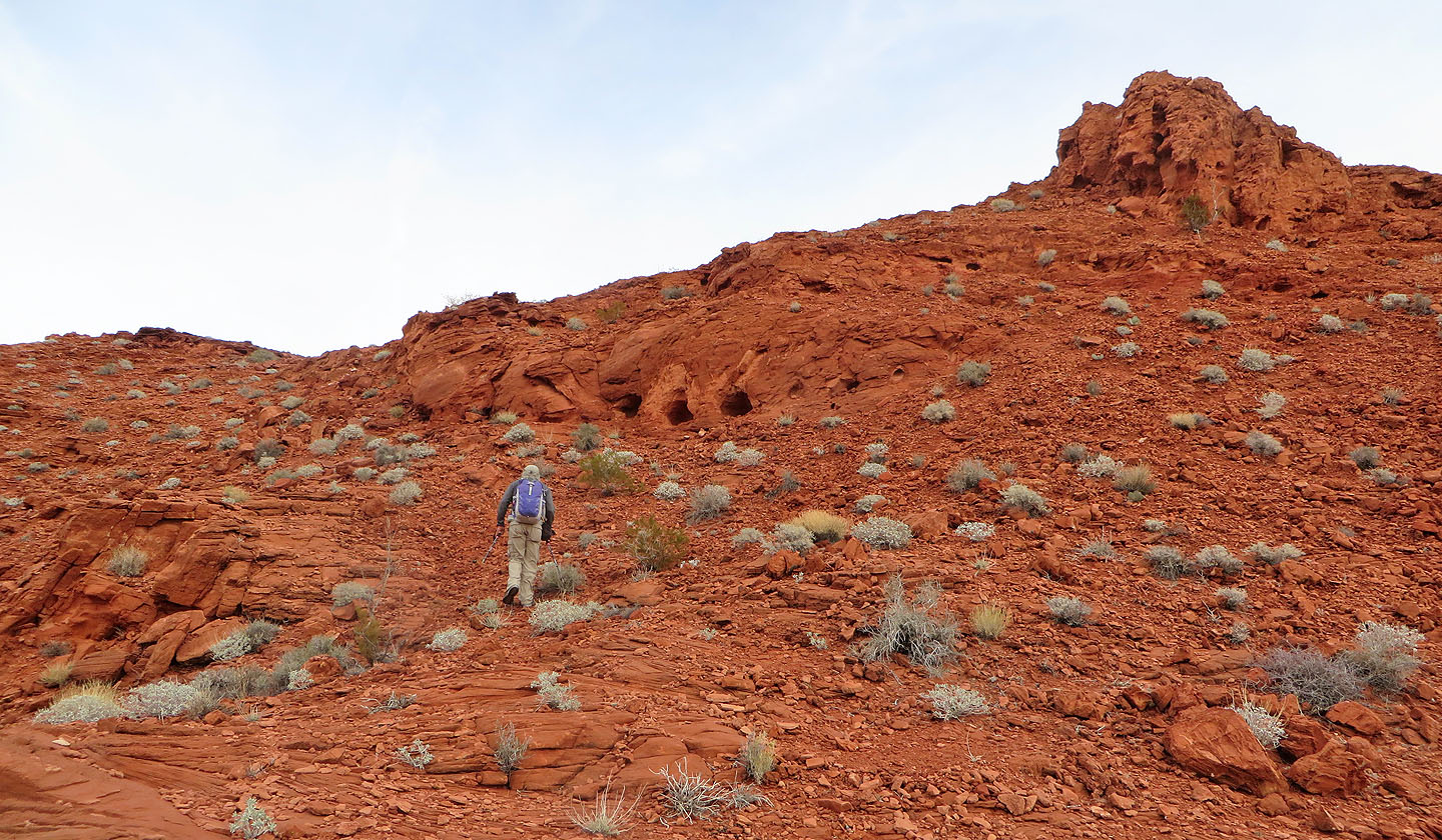
Ascending the ramp
Looking back down the ramp
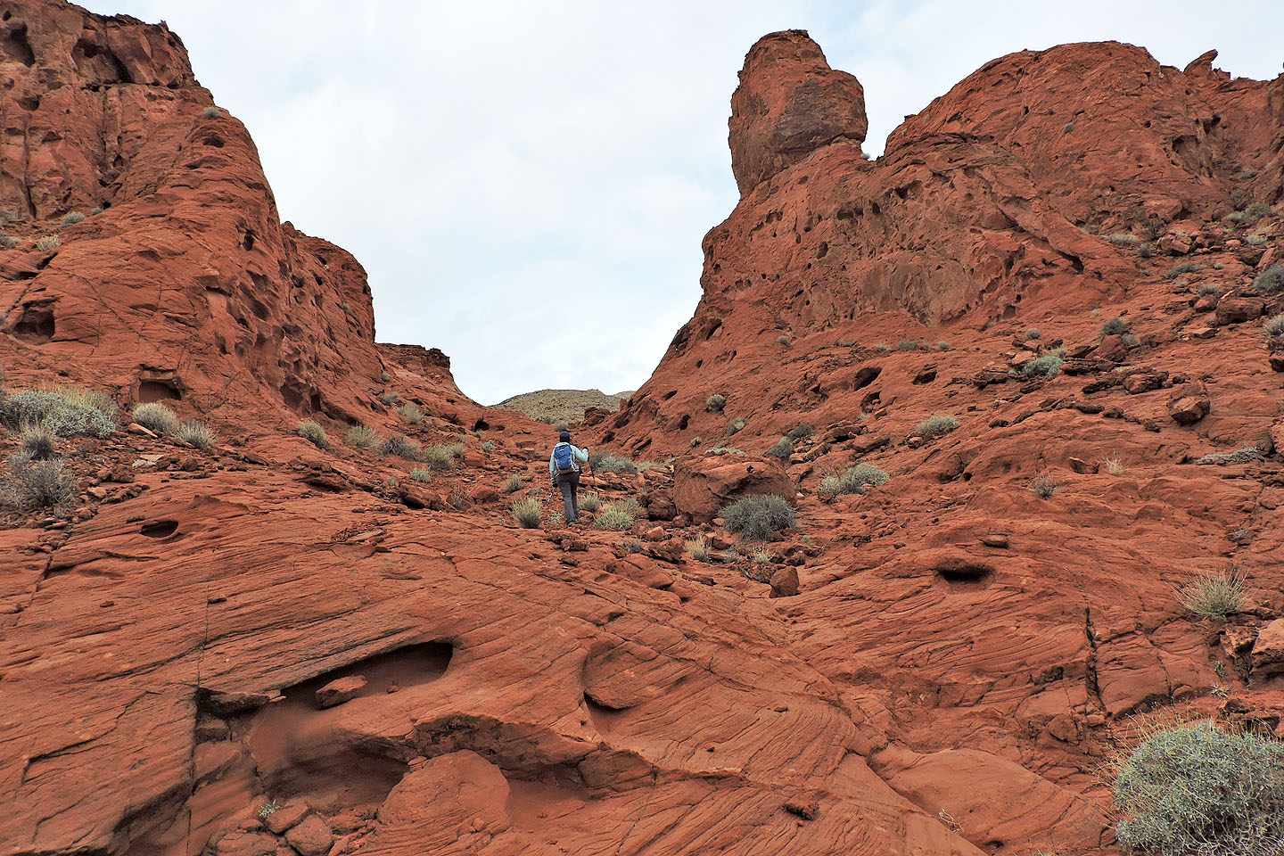
At the top we turned right
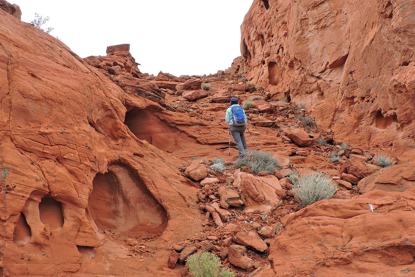
We hiked through a short canyon
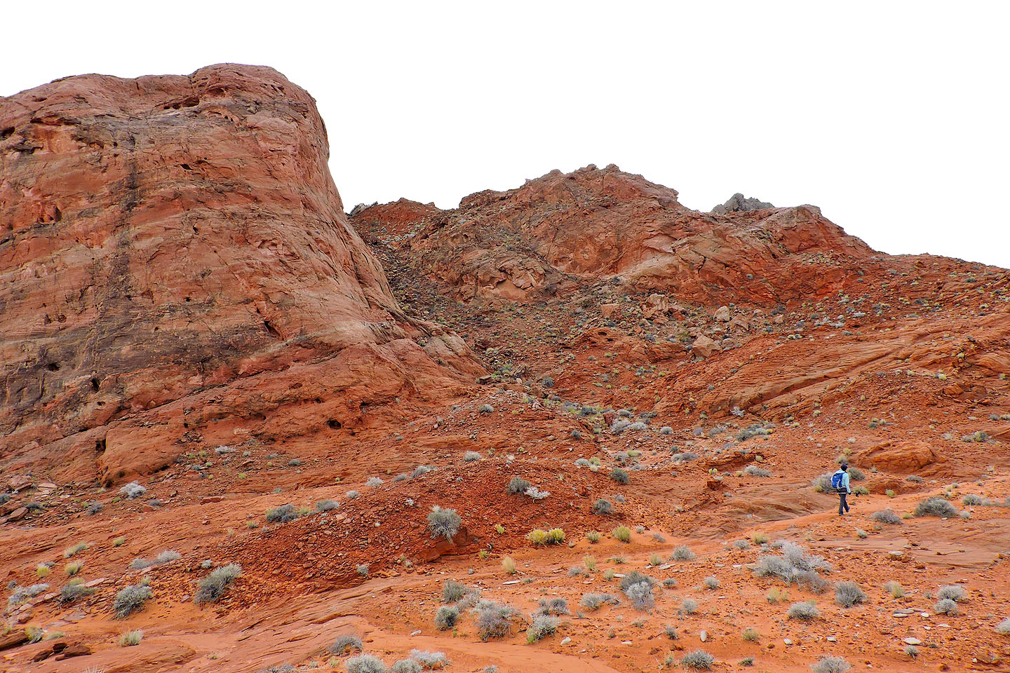
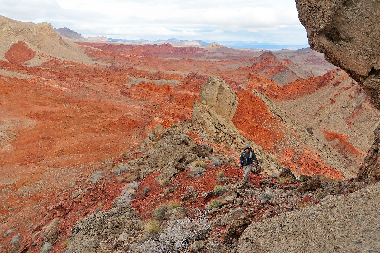
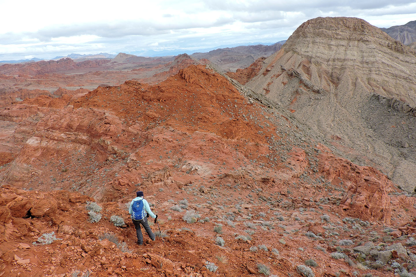
After the canyon we crossed a plateau and kept right
Beyond the ridge ahead is Polytick
We headed to the saddle left of Polytick
Looking back as we ascended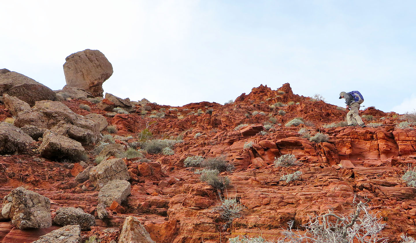
A huge pinnacle appeared ready to fall down on us
Looking back after passing the pinnacle
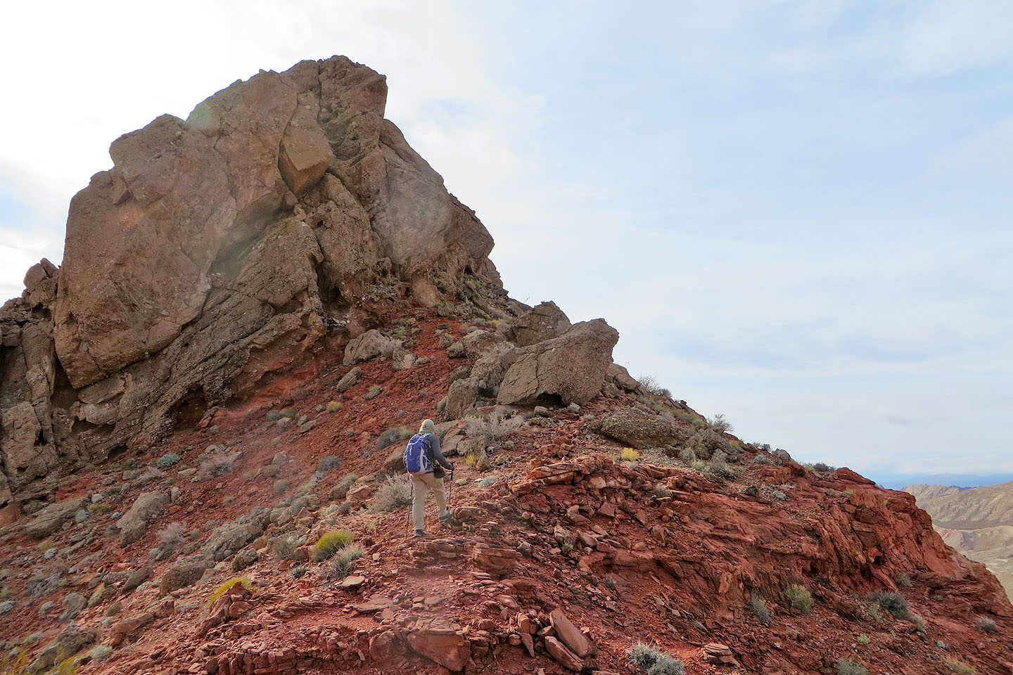
We're close to the summit
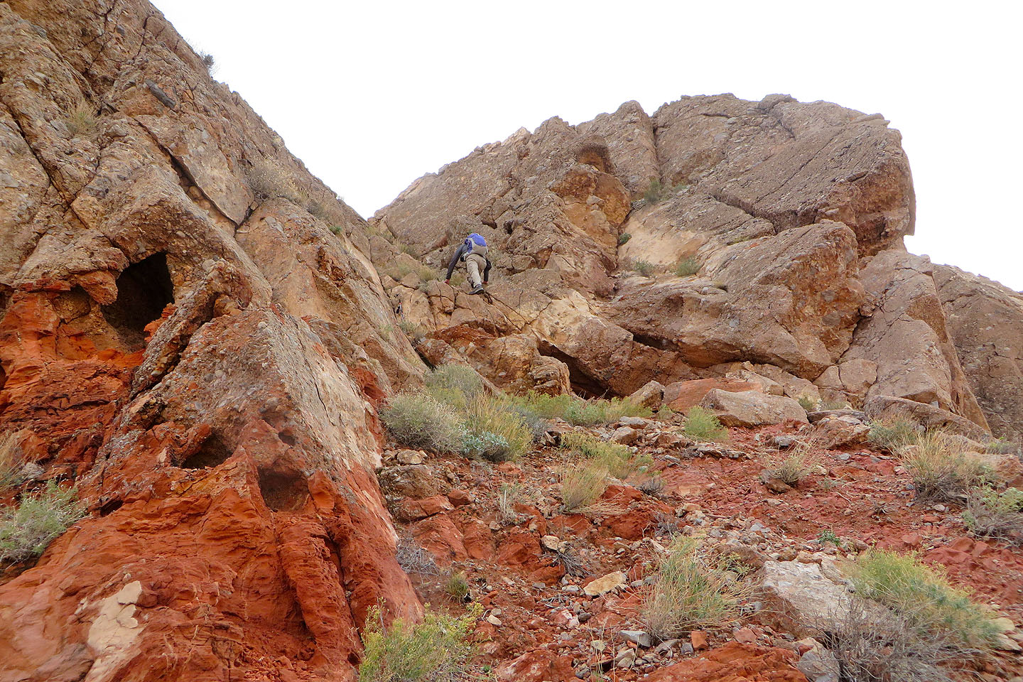
I started scrambling up just below the summit. Notice the steep slabs above me,
Looking down at Dinah from as high as I got, about 12 m below the summit
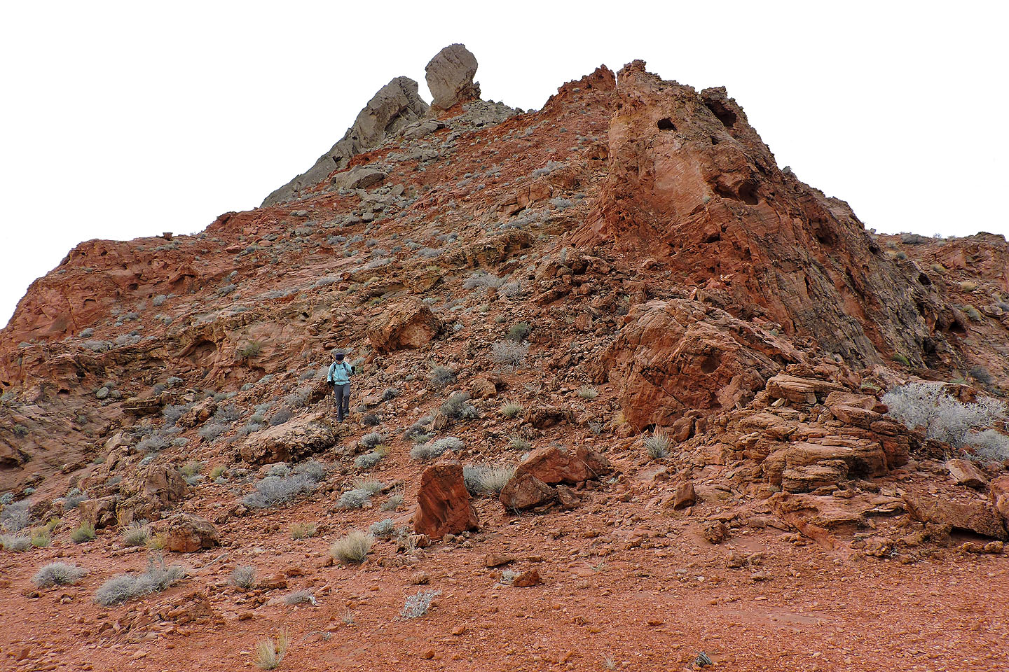
We turned to the red subpeak above the saddle
Looking back at the slope we climbed
It only took a few minutes to climb the subpeak
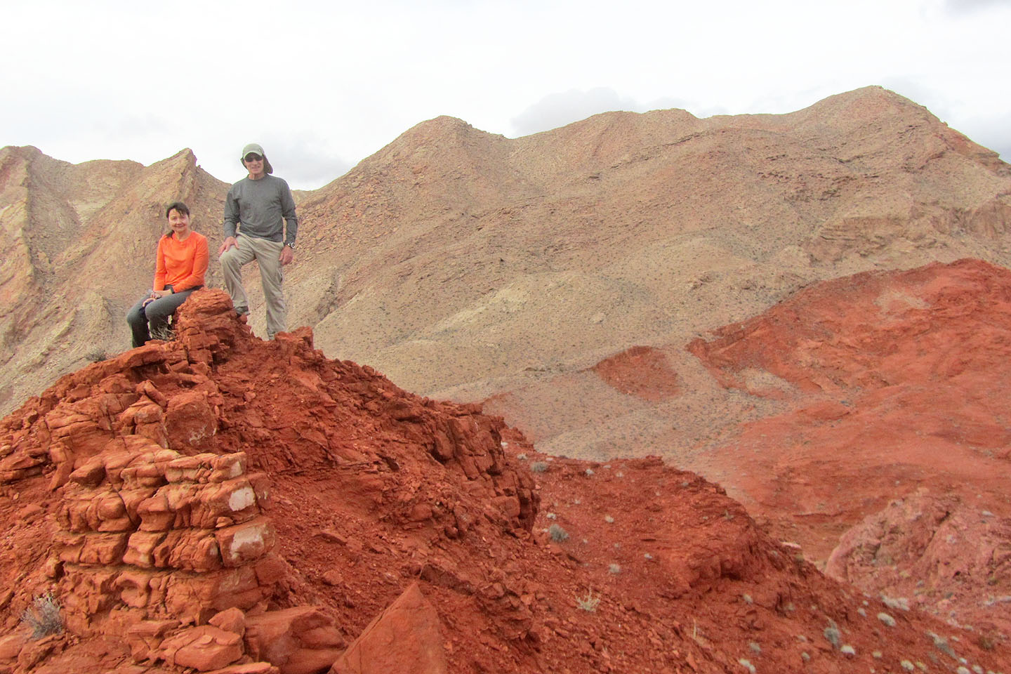
Posing on the subpeak. Behind us on the right is Anniversary Narrows Peak.
Callville Bay (4.8 mi, 2615 ft, 771 ft)