bobspirko.ca | Home | Canada Trips | US Trips | Hiking | Snowshoeing | MAP | About
Upper Canyon Creek
Peaks 427439 and 409435
Kananaskis, Alberta
June 3, 2006
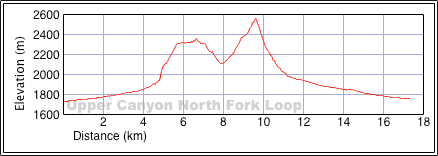
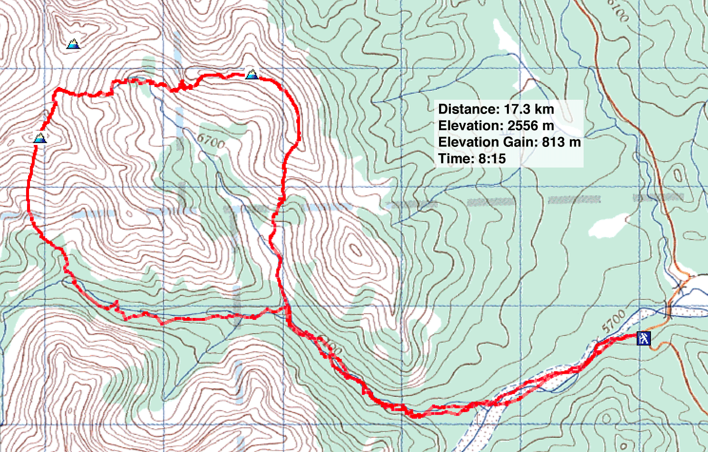
Distance: 17.3 km (10.7 mi)
Cumulative Elevation Gain: 1149 m (3770 ft)
After my fiasco five days ago, I returned to Upper Canyon Creek, along with Dinah and Caroline, to bag the peak I missed. I wanted to climb three peaks: 427439, 412443, and 409435 in that order, or as I like to call them, peaks 42, 41, and 40. Peak 40 is the one I had failed to do.
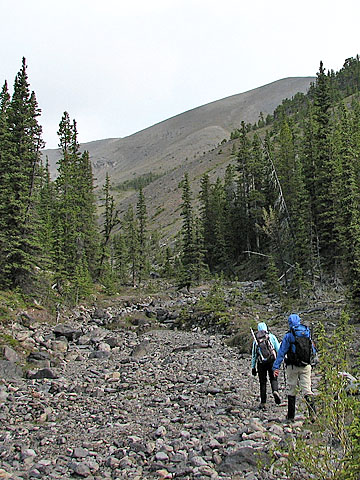
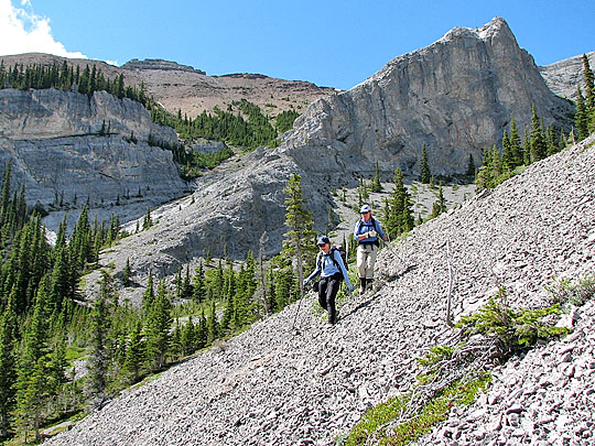
The morning started with intermittent showers as we headed up Upper Canyon Creek. After taking the two right forks, we reached the valley that the three peaks ring. A short hike up the creekbed brought us to the open slopes that led to the ridge on our right. From there it was a pleasant ridgewalk to Peak 42.
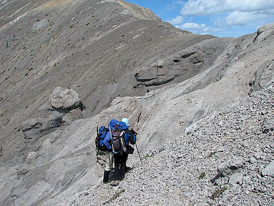
The showers stopped, but it was cold and windy. I was concerned about the wind. To reach Peak 41 from the first entails a moderate but exposed scramble on slabs (see report). I doubted that Dinah and Caroline would want to try it in windy conditions, so I decided it was best not to attempt the second peak: to turn back at the slabs would mean dropping down nearly to the valley bottom.
After leaving the first peak, we hiked down the ridge a short way before leaving it. I soon realized I erred, my memory fuzzy after five years when I was there last. At one point, it's necessary to leave the ridge, but we left it too soon. Unfortunately, there is no middle ground: missing the high route, we had to drop down to the valley bottom losing nearly 300 m. But given that we weren't going to try Peak 41, it probably didn't matter.
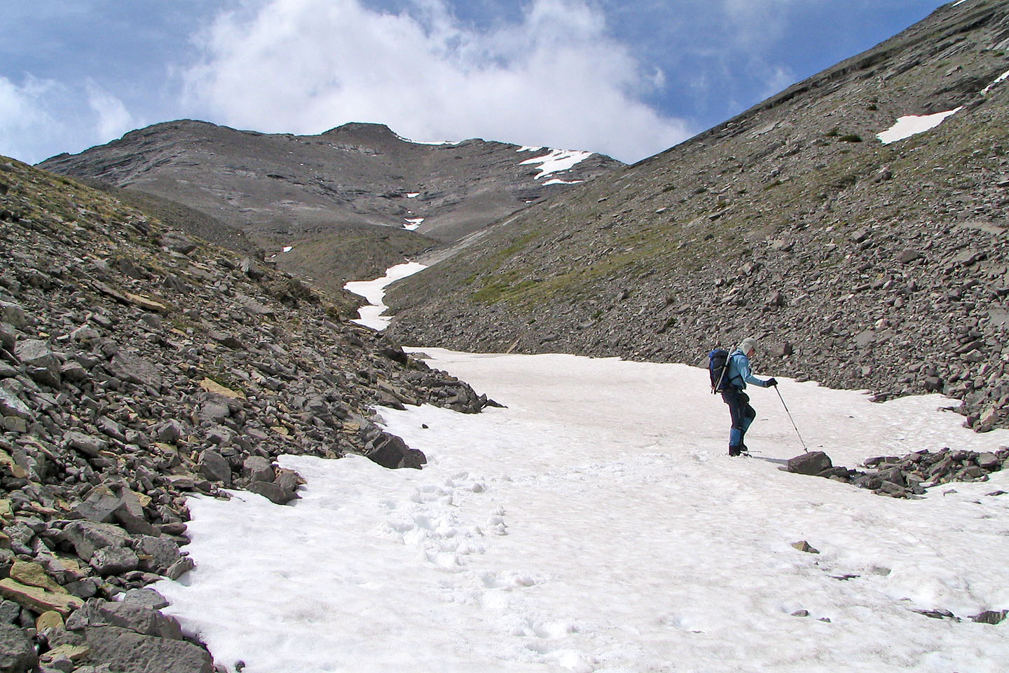
After taking a break at the bottom we set off for Peak 40. We soon spied a figure above us on the col between 40 and 41, heading to Peak 40. As we ascended the gully that led to the col, we followed his progress up and down the third peak. When we reached the col we ran into him.
It was Rod McAlister. Although I never met him before, I had seen his name on the RMB forum. Likewise, he was acquainted with Dinah and me. Rod, who had climbed Tiara Peak via the chimney from the north (Belmore Browne) side, was inspired from messages on the forum to try the peak from the south. He managed to reach the rock buttress between Tiara Peak and Peak 41 before turning back to climb Peak 40.
After a short chat, we went our separate ways. We headed up the third peak while Rod hiked back to the second peak. He had parked near the Belmore Browne trailhead.
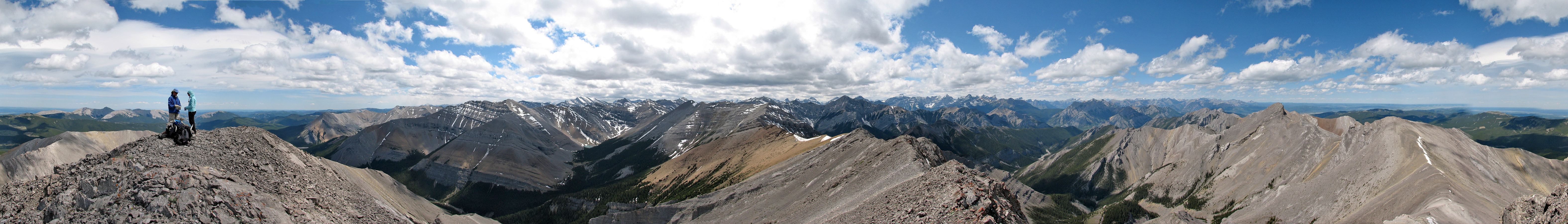
The ascent of Peak 40 was mostly a hike. Only near the top where it steepened did it become an easy scramble. We spent several minutes on the summit admiring the mountain scenery before we started getting cold. I took a panorama (above, and we started down the south ridge. Here the scree run looked inviting. (This is the route in the Kananaskis Country Trail Guide.) It's one of the best scree-run I've come across; I lost nearly 350 m in ten minutes. I would hate to hike up it!
The rest of the hike back on the creekbed was all too familiar for me, but it offered new sights for Dinah and Caroline.
I was disappointed not to do all three peaks, but I look forward to returning someday and completing the three-peak circuit. It's rare to find a ridge walk that follows a loop and offers a variety of interesting terrain and scenery!
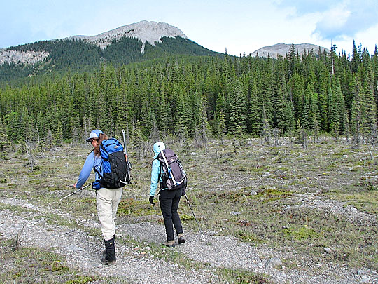
Setting off up the creek flats, our first peak, Peak 42, is on the right
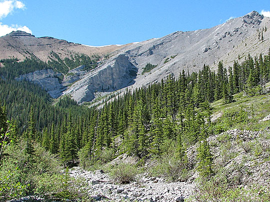
Entering the second fork, we'll ascend the bare slopes in the distance
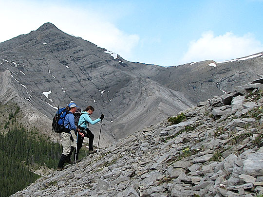 On the ascent, Peak 41 in the background
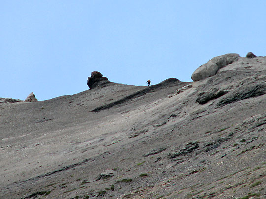
Reaching the ridge leading to Peak 4
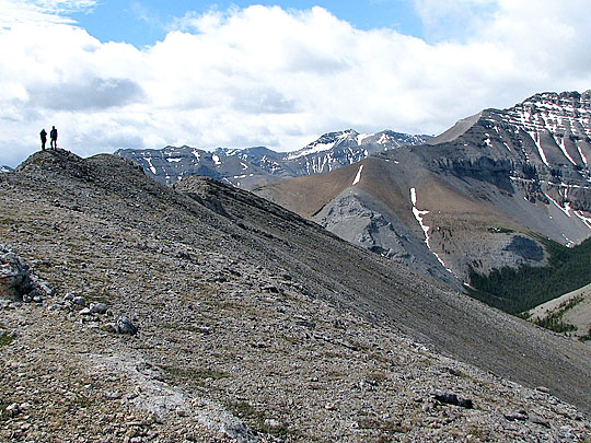
Easy hiking along the ridge. Black Rock Mountain stands alone on the horizon.
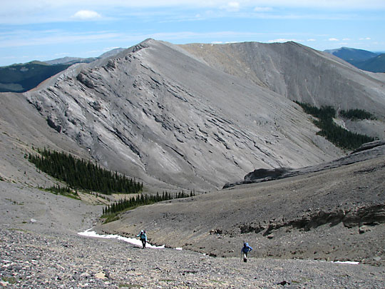
Leaving Peak 42 with 40 and 41 ahead
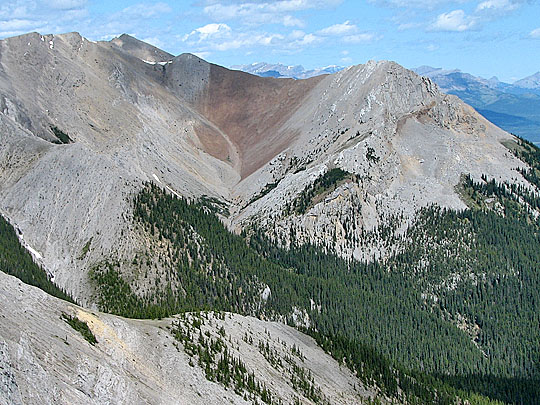
Recently we had climbed Belmore Browne (right) and the two peaks (left of centre)
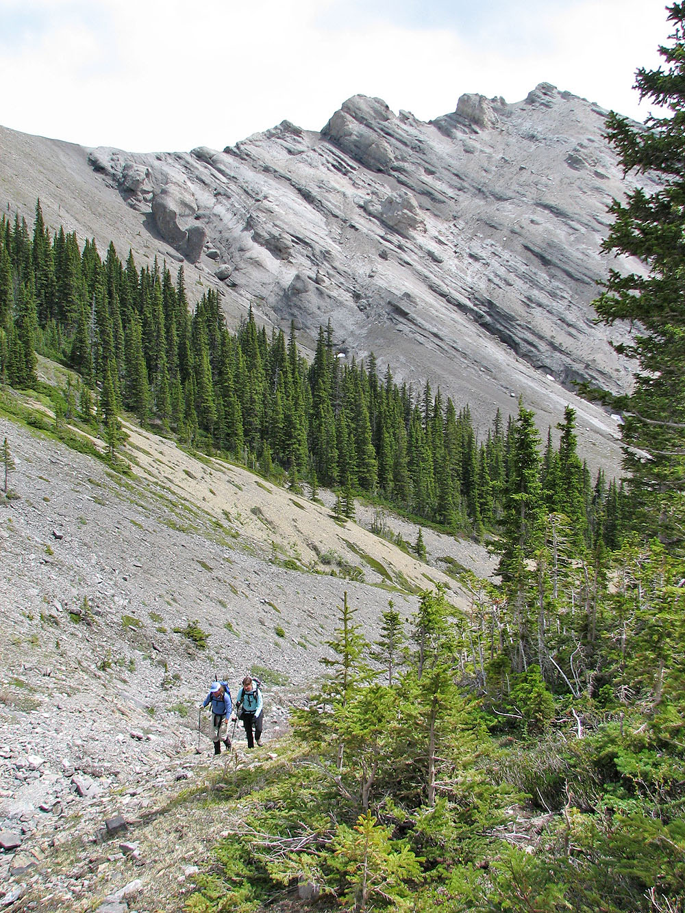
Dropping down from the ridge we come across the huge, bizarre rocks
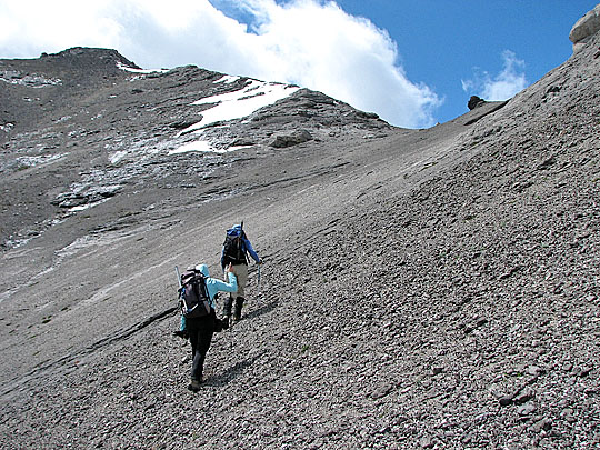
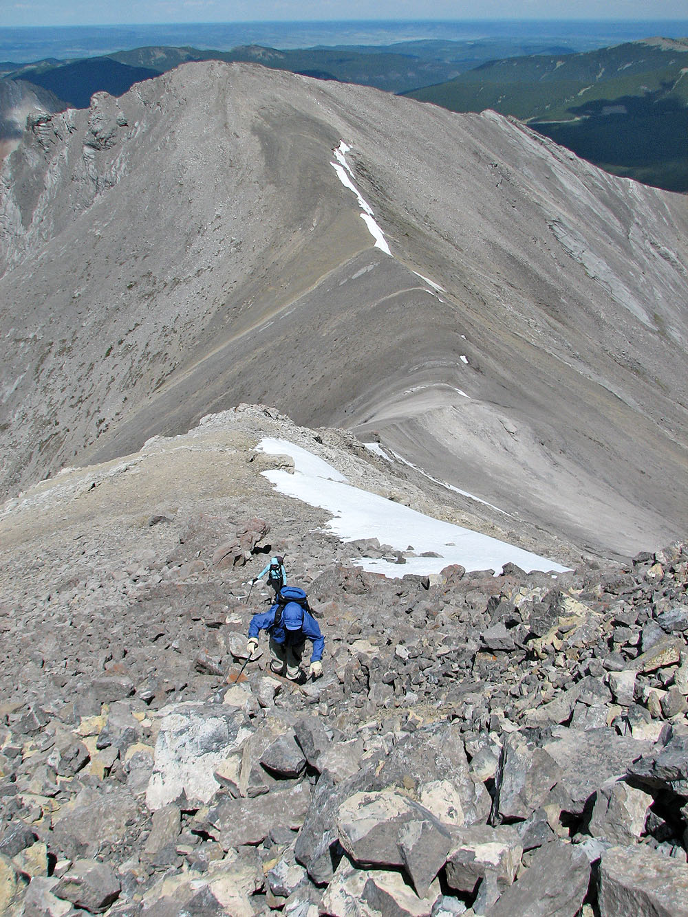
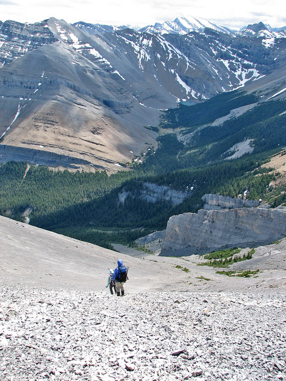
Ascending the gully to Peak 40
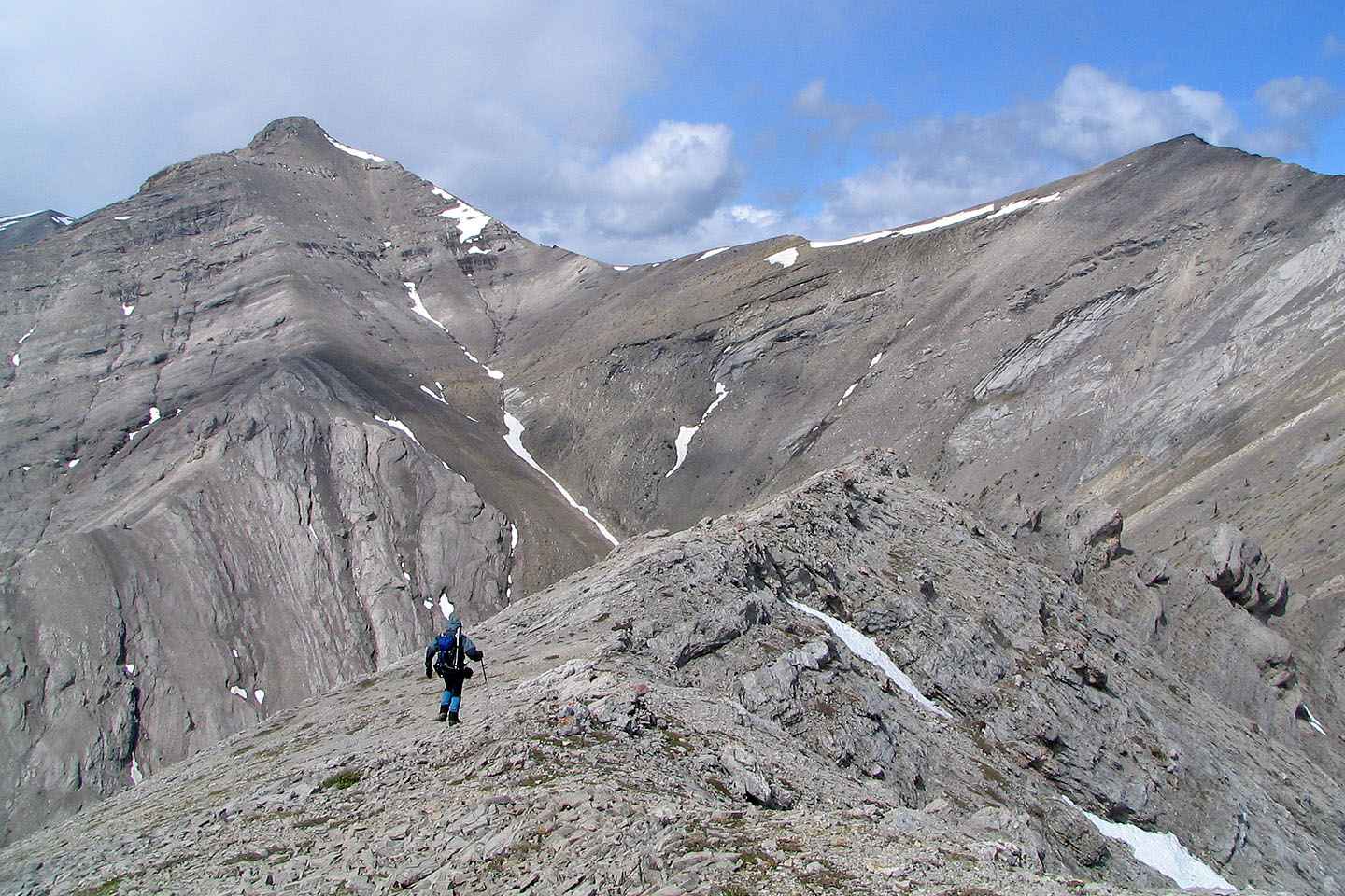
Peak 40 lies ahead
Rod on the col between Peaks 40 and 41
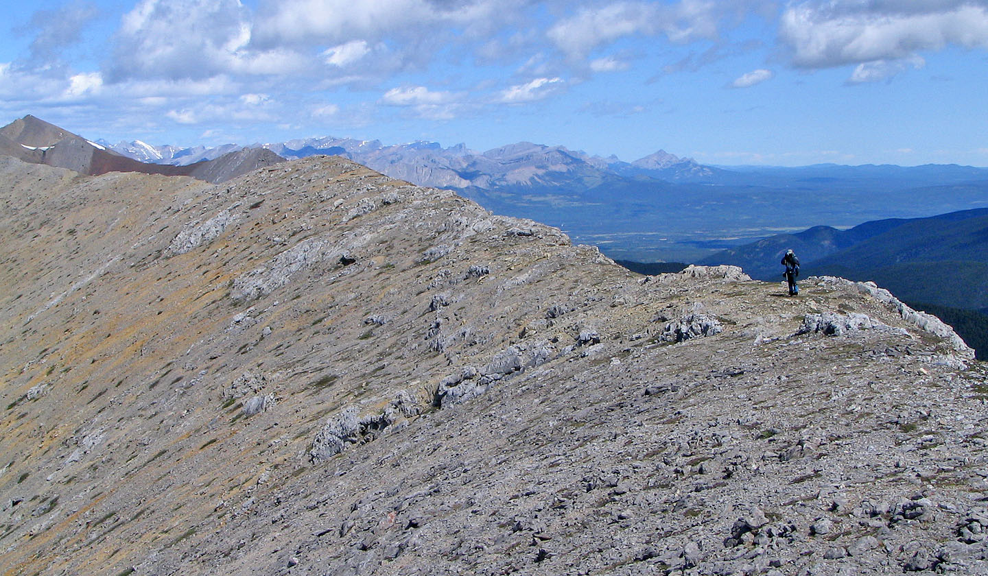
 View of Peak 42 as we ascended Peak 40
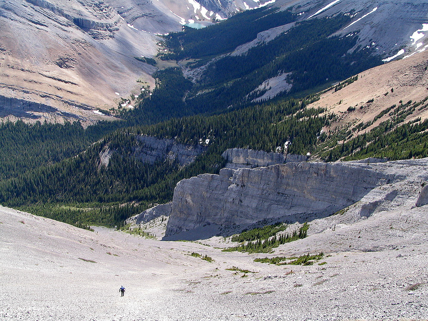
Almost at the col

At the col we meet Rod. Tiara Peak is in the centre. Rod reached the rock buttress above Dinah's shoulder.
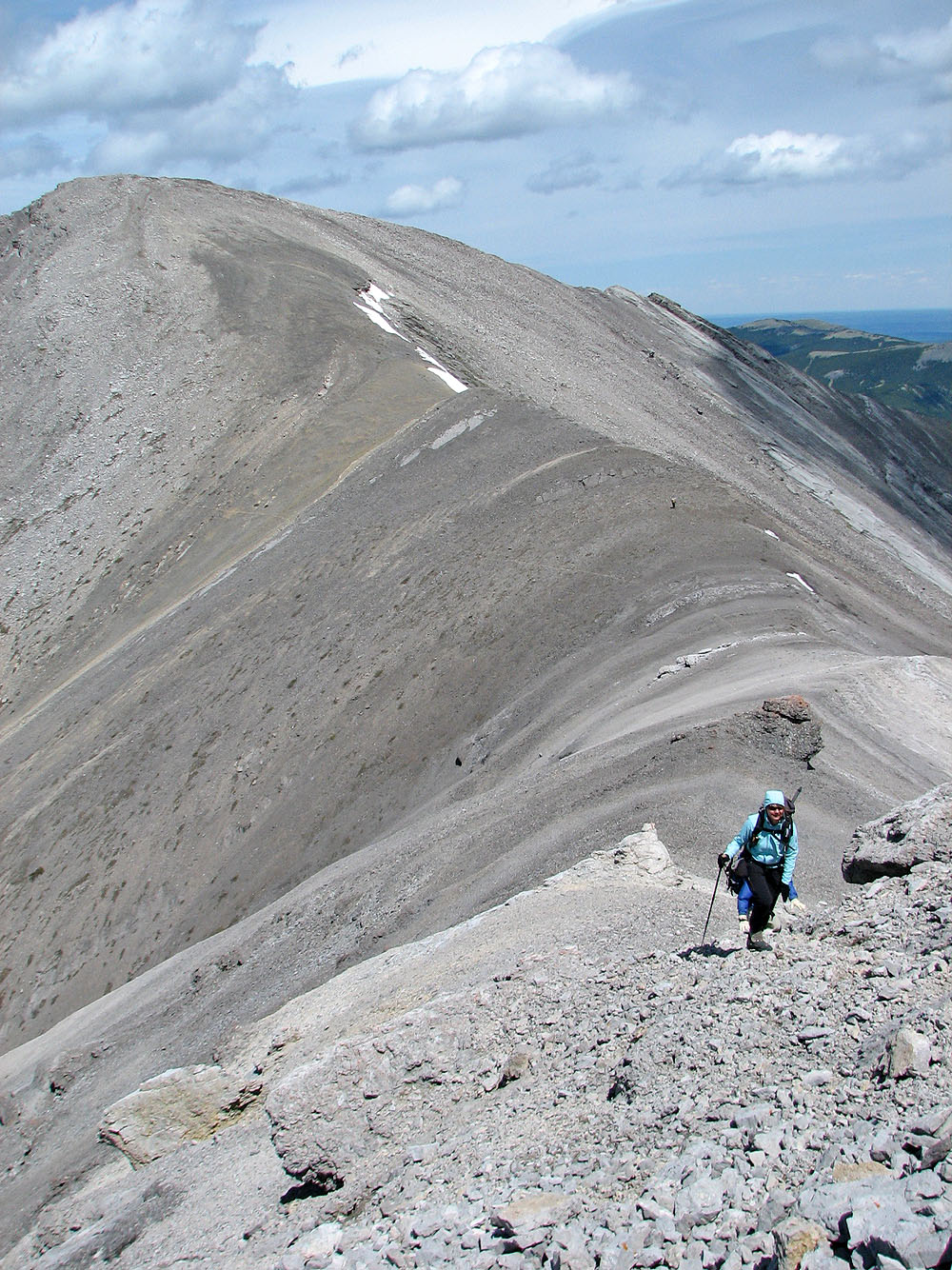
Peak 41 behind us (Rod is a speck) as we ascend 40.
Mouse over for a close up of the slabs on the ridge.
Looking down from just below the summit
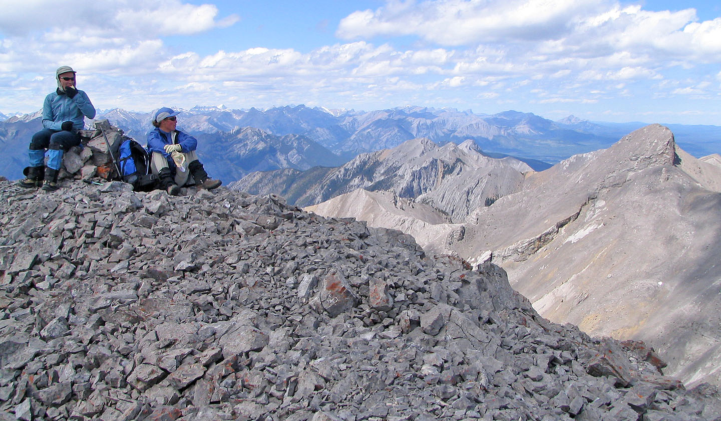
Relaxing on the summit. Tiara Peak on the right.
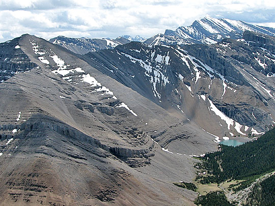
Mount Bryant and the tarn
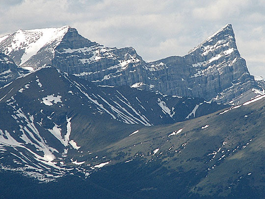
Mount Lougheed looking sharp!
Starting down the scree slope
Running down the scree. Mouse over for a view looking up from the bottom.
Before reaching the bottom of the scree gully (left) we cut across to another scree slope
View of Peak 40 (right) from the creekbed
82 J/15 Bragg Creek