bobspirko.ca | Home | Canada Trips | US Trips | Hiking | Snowshoeing | MAP | About
Powderface Ridge (south approach)
Kananaskis, Alberta
May 16, 2009
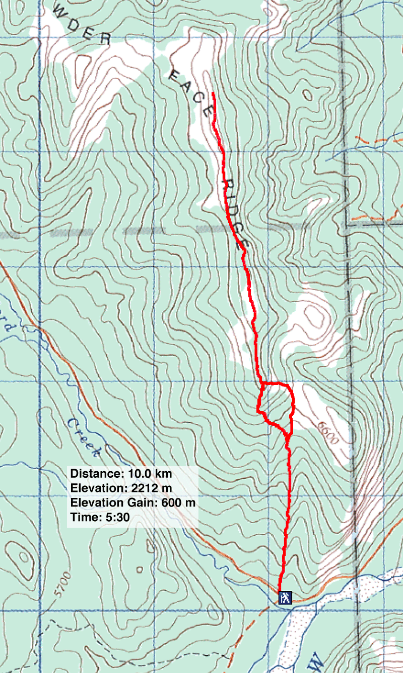
Hwy. 66 opened on May 15, as it does every year, allowing us access to Powderface trail, the south approach. It also allowed access to dozens of other adventurers on foot, bikes and snowshoes, although none appeared to get far. (Powderface Ridge can also be reached using the east approach, although it is longer.)
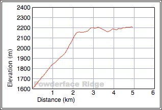
According to the route description in Kananaskis Country Trail Guide, Powderface trail begins on the southwest slopes of Powderface Ridge and reaches a saddle before swinging around to the east slopes. It then runs well below the ridge until just before the summit where it switchbacks up to the ridge. Although the trail would normally be easier than the ridgewalk, I expected it would hold more snow since it's on the leeward side.
I wanted to avoid the leeward slopes and instead ascend the south end of the ridge and follow the ridge to the summit. Exposed to the wind, I hoped the crest would be mostly free of snow.
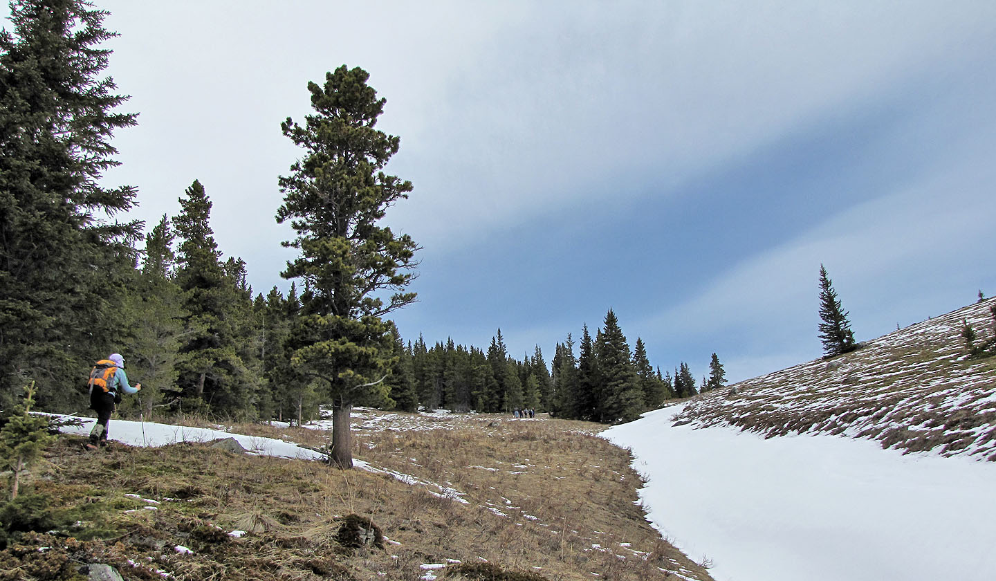
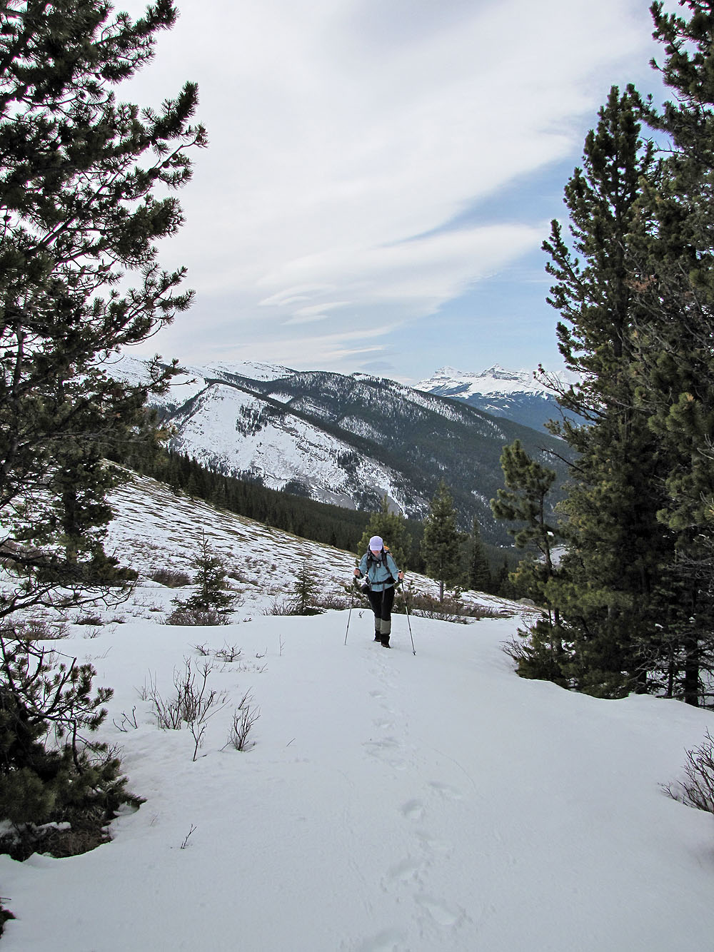
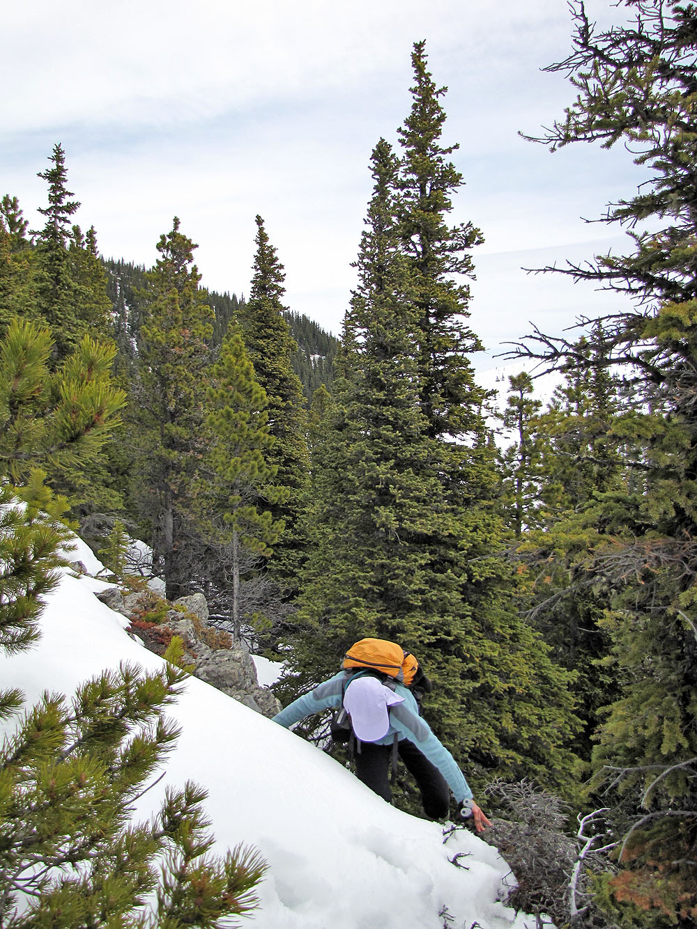
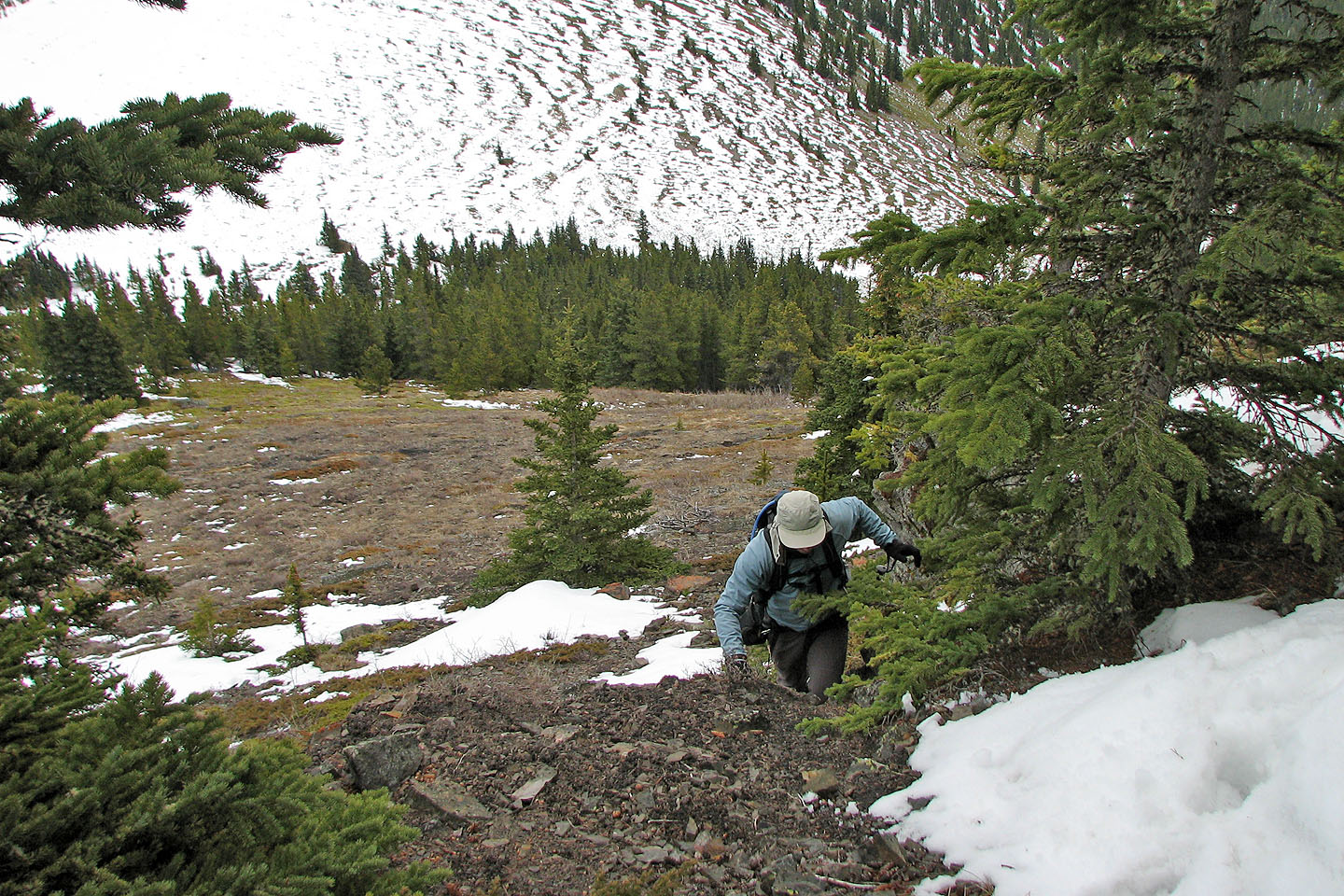
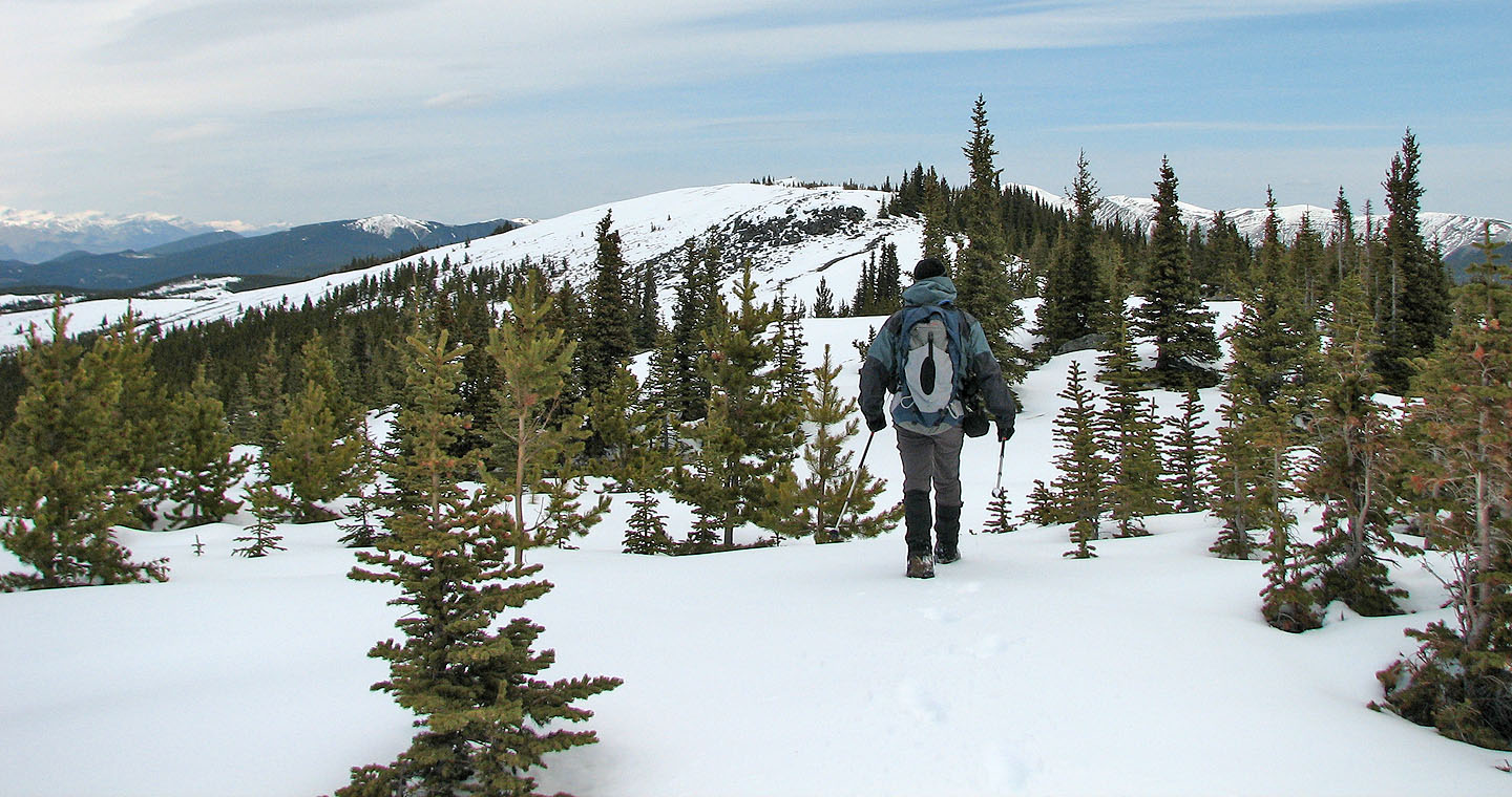
Soon after Dinah and I started up the trail, we encountered patches of snow. As we climbed, the snow became more prevalent and deeper, up to our thighs in some places. We stayed on the trail until it crossed the saddle and swung north. We left the trail and ascended an open, dry slope before encountering a minor cliff band. Scrambling up through the cliffs, we hit another open slope followed by another, more serious cliff band. Past that we arrived on the crest of the ridge.
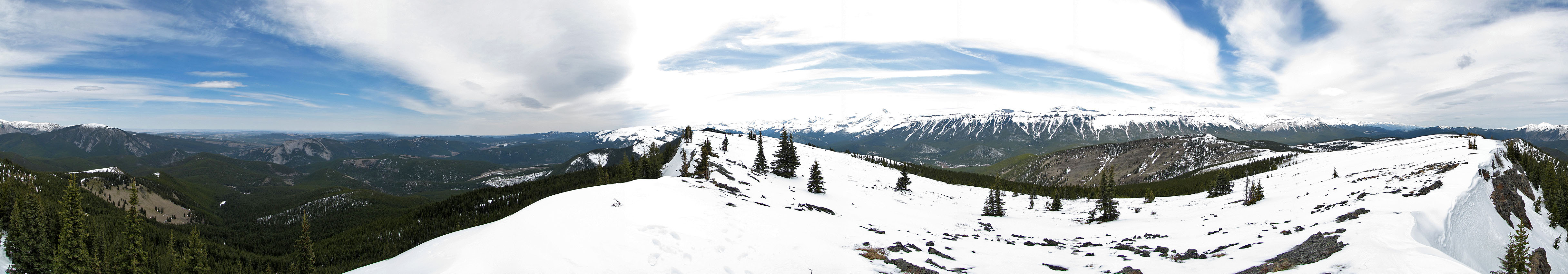
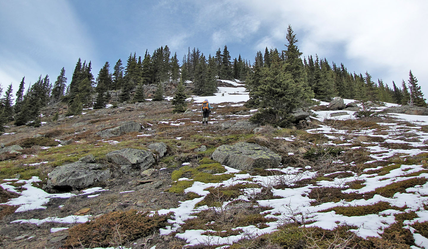
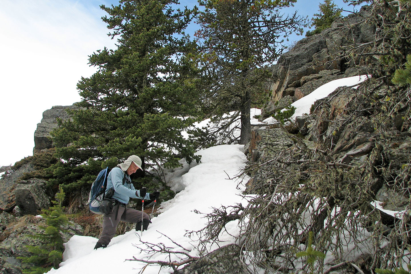
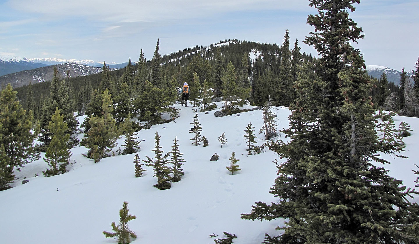
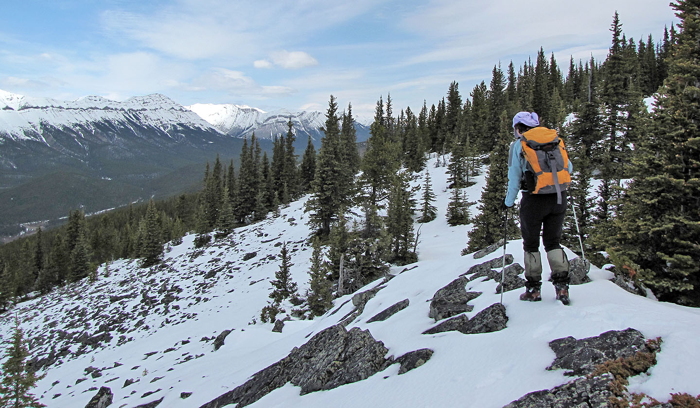
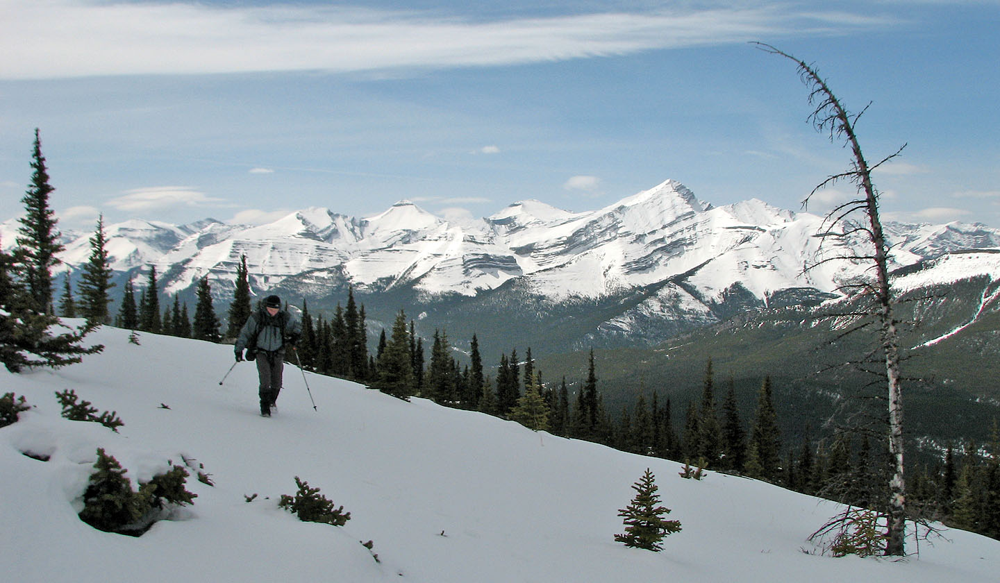
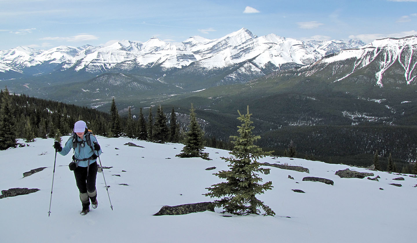
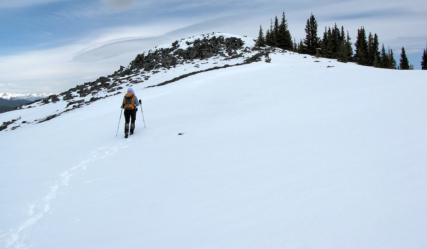
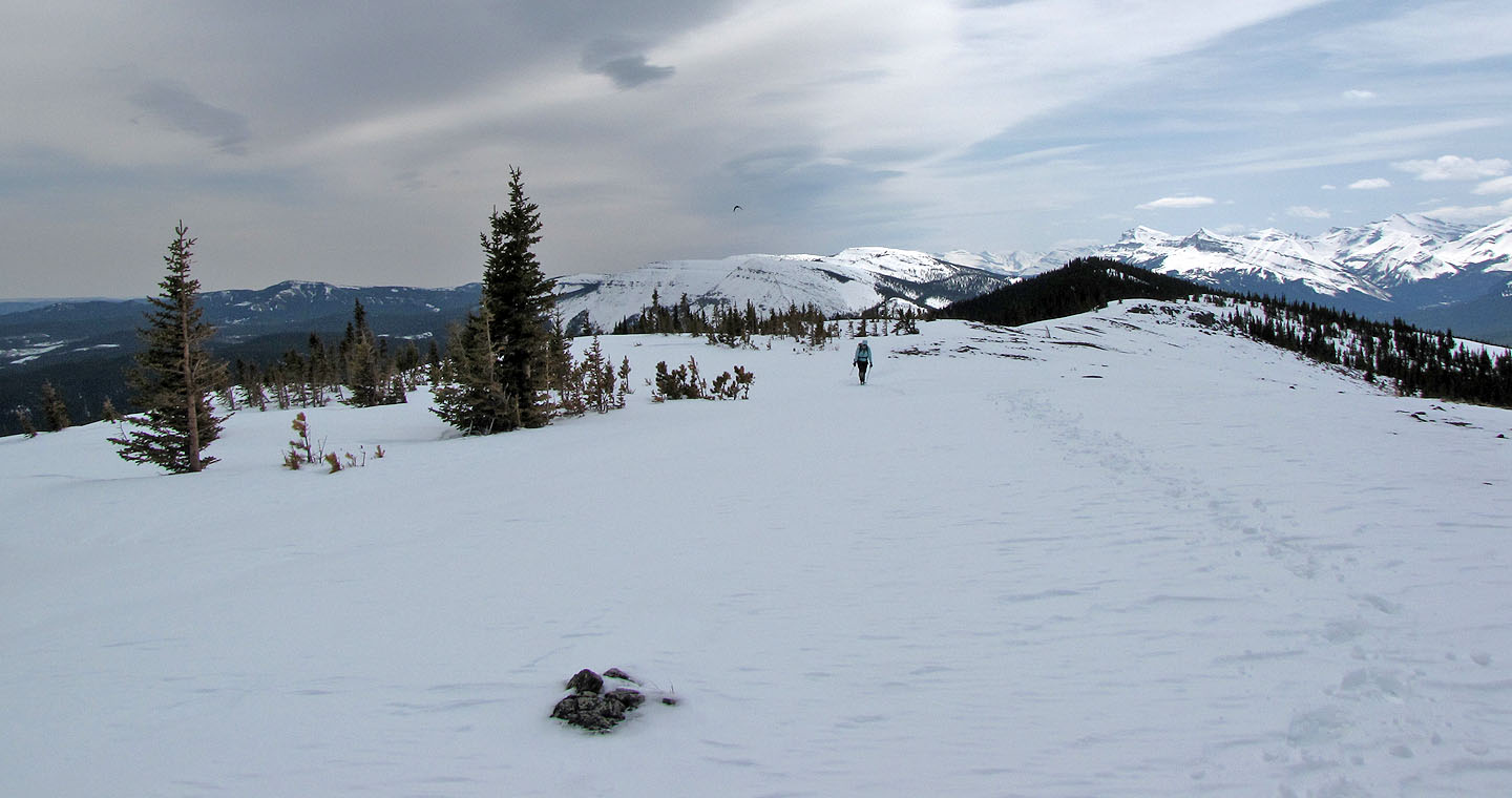
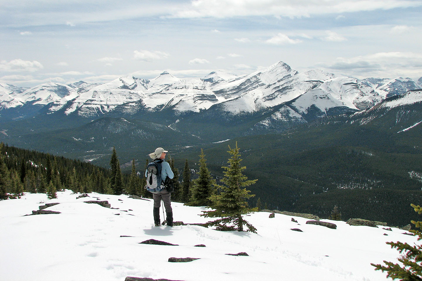
The ridge held more snow than I expected, but it was mostly firm. Between us and the summit were nearly three kilometres of treed, rocky, undulating ridge. Nothing technical, just offtrail hiking. Along the way, we had great views of Banded Peak, Nihahi Ridge, Compression Ridge and other mountains well covered in snow.
The summit of Powderface appeared to comprise two high points and neither had a cairn. We didn't feel enticed to linger, maybe it was clouds and cool temperatures, so we soon started back the same way. When we returned to the south end of the ridge, we found fresh tracks that stopped there. Apparently two people had made the ridge crest but weren't inclined to trudge to the distant summit as we had.
Instead of going down the cliffs and dropping down to the saddle, we kept following the ridge, bypassing the saddle before returning to the trail.
The south end of Powderface Ridge (centre): we'll ascend the backside and descend the front
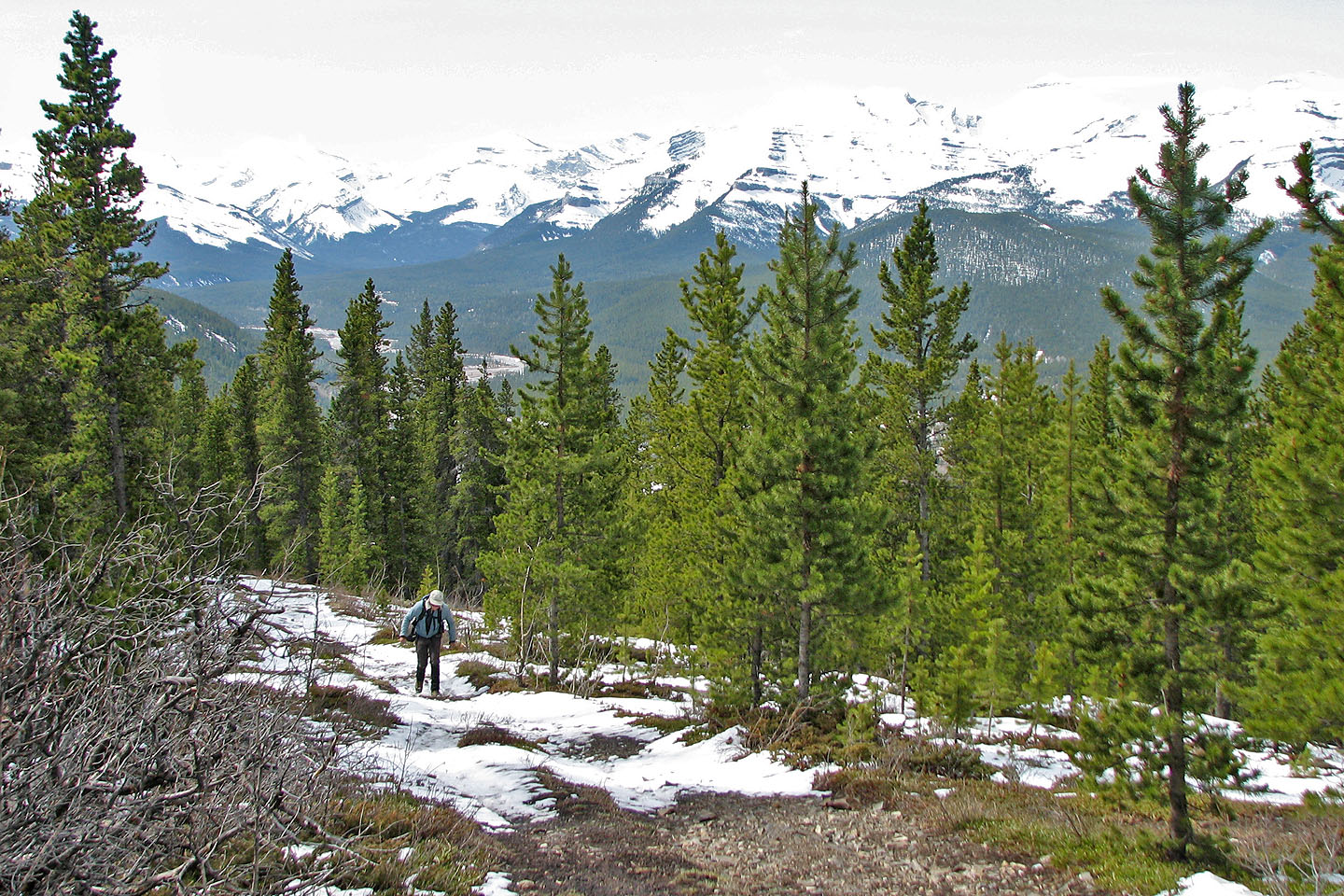
Hiking up the snow-covered trail
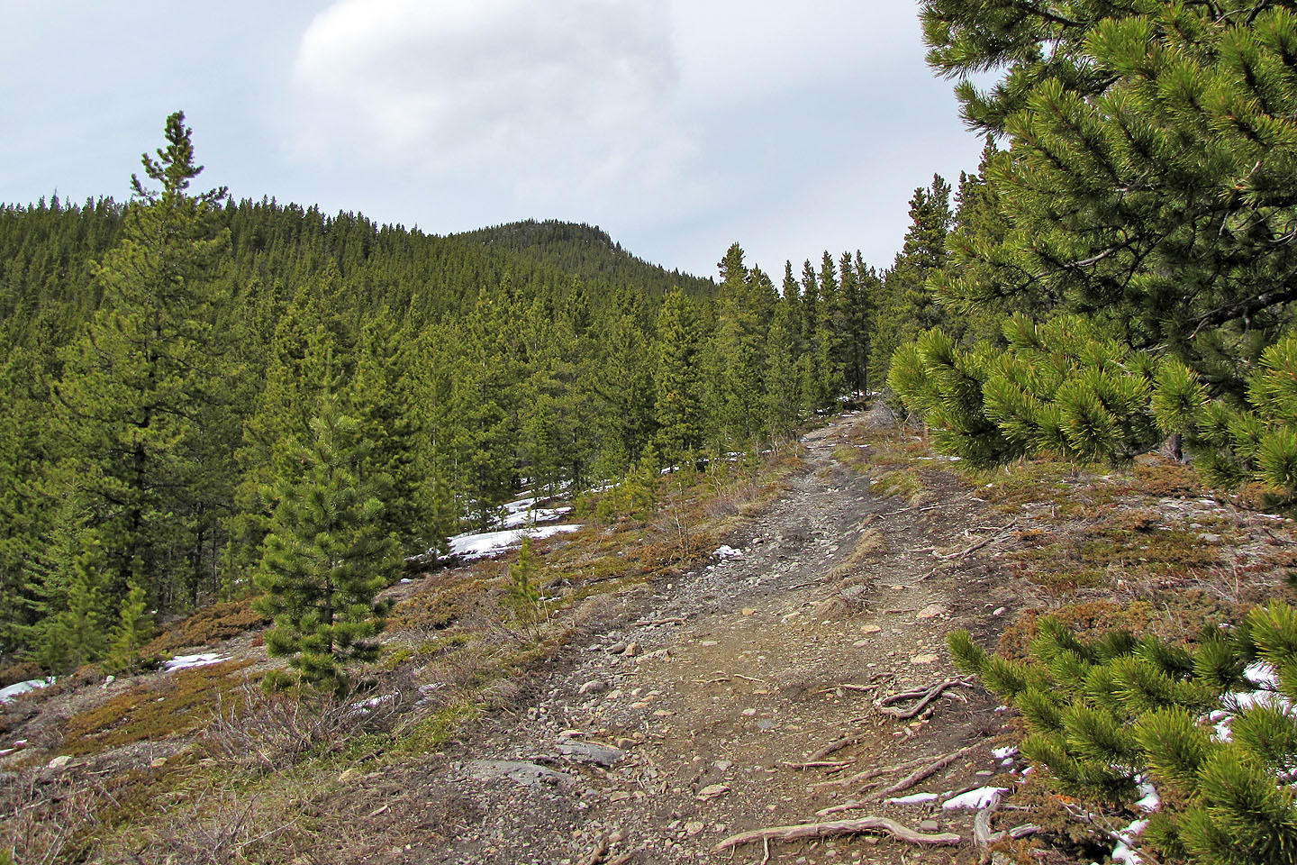
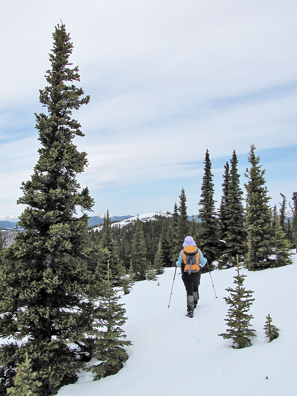
The trail goes through the trees in the centre
The trail through the trees
After leaving the trail we soon reached a minor cliff band
The open slopes lead to another cliff band
Looking down from the base of the second cliff band
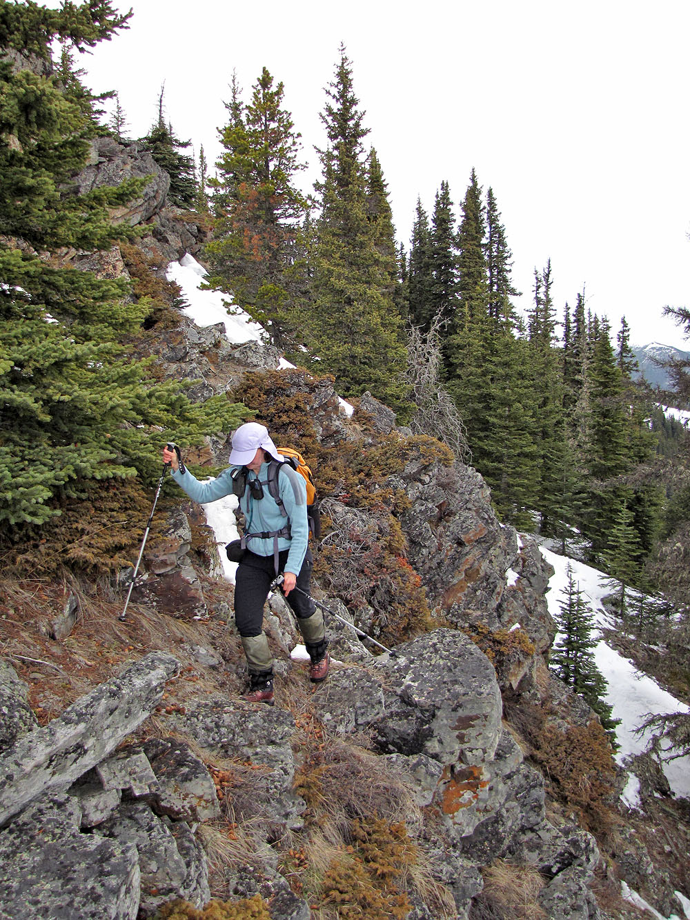
Second cliff band is steeper and higher than the first
It also had more snow
After gaining the ridge we headed north
Nihahi and Compression Ridges on our left
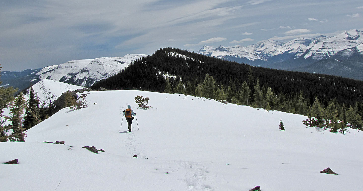
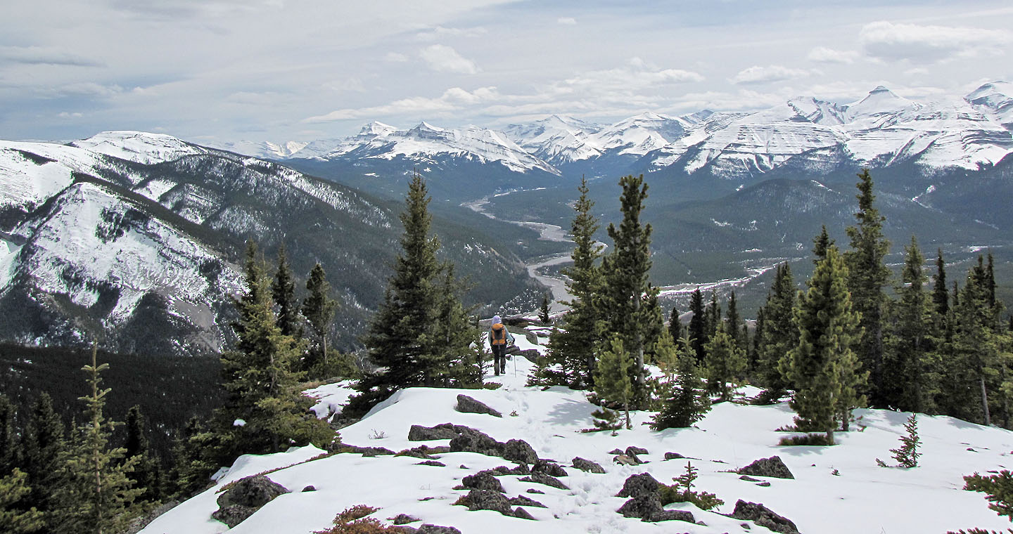
The terrain on the ridge varies from treed to open
Views to the southwest
Clouds and cool weather kept the snow firm
The summit appears in the distance
A rock outcrop near the summit
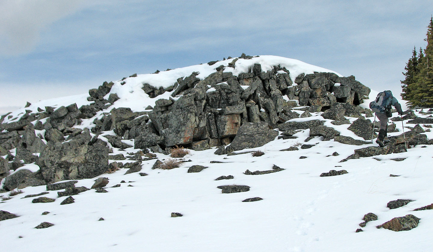
We easily hiked up the rocks
Looking back as we neared the summit. Forgetmenot Ridge in the background
On the summit: above me is Banded Peak with Outlaw Peak, and Mount Glasgow is to the right
On the way back the sun comes out
Back at the south end of the ridge. Bluerock and Threepoint Mountains left (mouse over).
82 J/15 Bragg Creek