bobspirko.ca | Home | Canada Trips | US Trips | Hiking | Snowshoeing | MAP | About

Crowfoot North Peak
Icefields Parkway, Banff National Park, Alberta
September 7, 2019
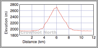
Distance: 11.8 km (7.3 mi)
Cumulative Elevation Gain: 785 m (2575 ft)
Any high point along the Icefields Parkway is likely to provide exceptional views, views best seen on a sunny day. Last year, Zora, Jonathan and I missed out when we went to climb Crowfoot North Peak; we turned back at the trailhead because of rain. Perhaps feeling guilty about that, Mother Nature favoured us with blue skies this time.
This subpeak of Crowfoot Mountain is largely a hike except for a brief, easy scramble at the summit. The trip starts at Num-Ti-Jah Lodge. We followed the trail as it ran alongside Bow Lake, crossed gravel flats, and climbed above a narrow canyon. After crossing the canyon on a huge chockstone, we kept left at the trail fork (right for Bow Hut).
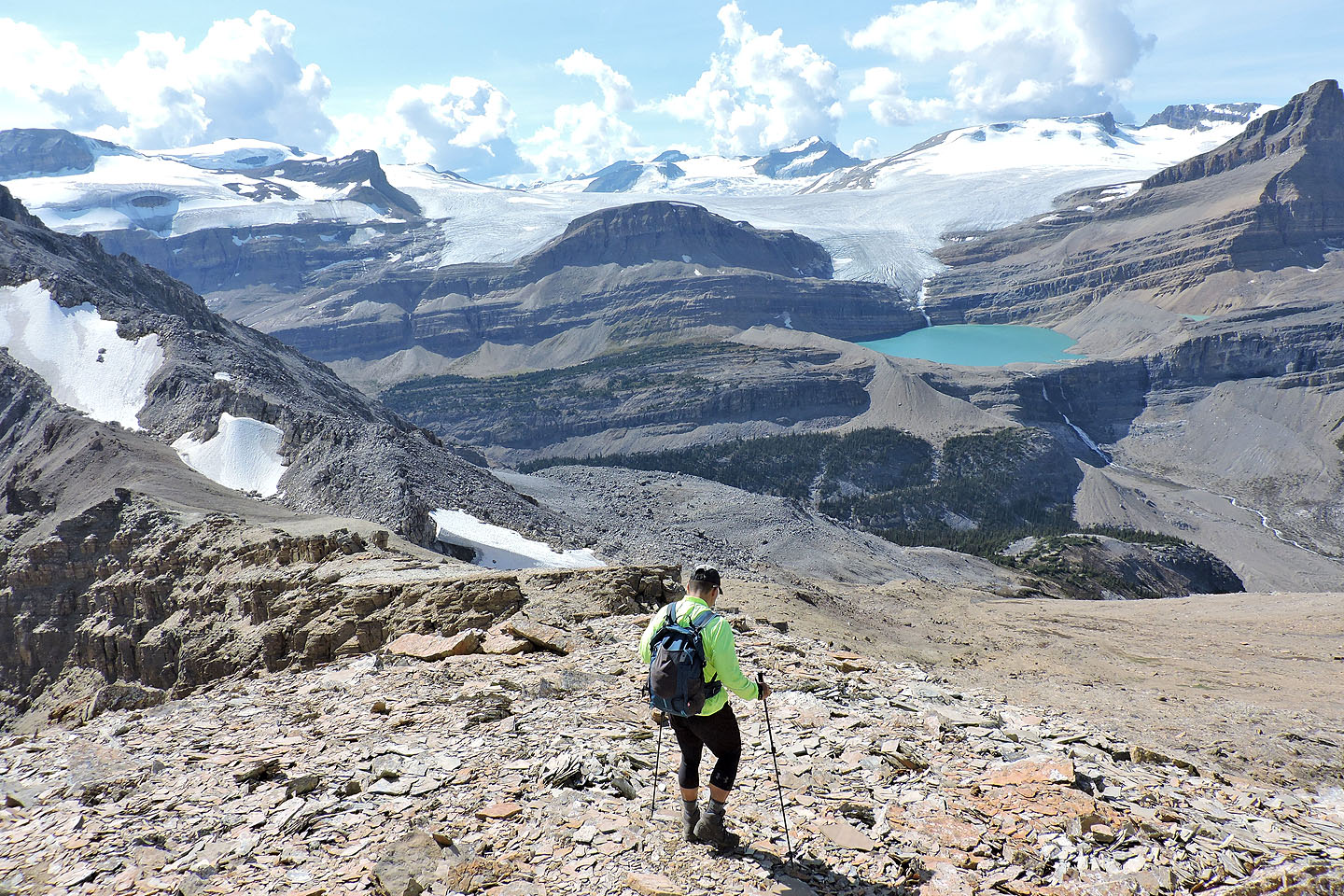
A few minutes after the fork, we looked for a likely place to leave the trail. We needed to reach the base of the looming cliff band ahead. When we could see the rubble at the base of the cliff through the trees, we started up. We soon hit upon a vague trail that skirts the edge of the rocks. When the trail disappeared we climbed towards the cliffs.
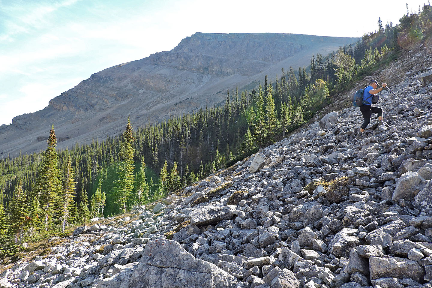
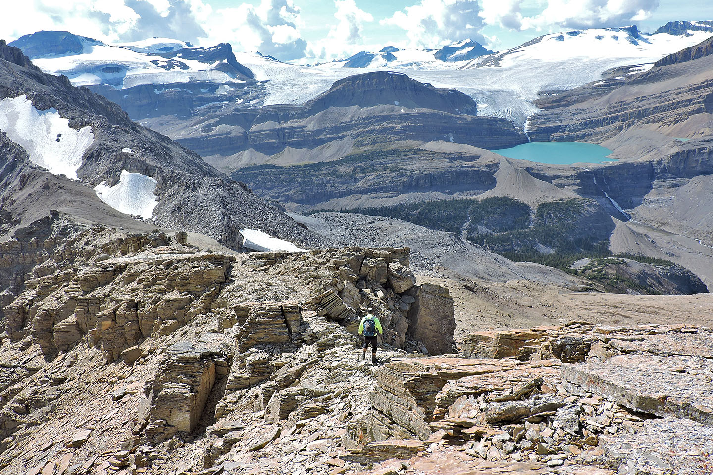
We followed the base of the cliff band until it ended. Then we angled left, up a meadow and through sparse trees to emerge at the edge of a vast but gentle scree slope. The summit of Crowfoot North appeared on our right, perched on a small cliff band. Left was the viewpoint that Andrew suggests visiting in More Scrambles. We headed there.
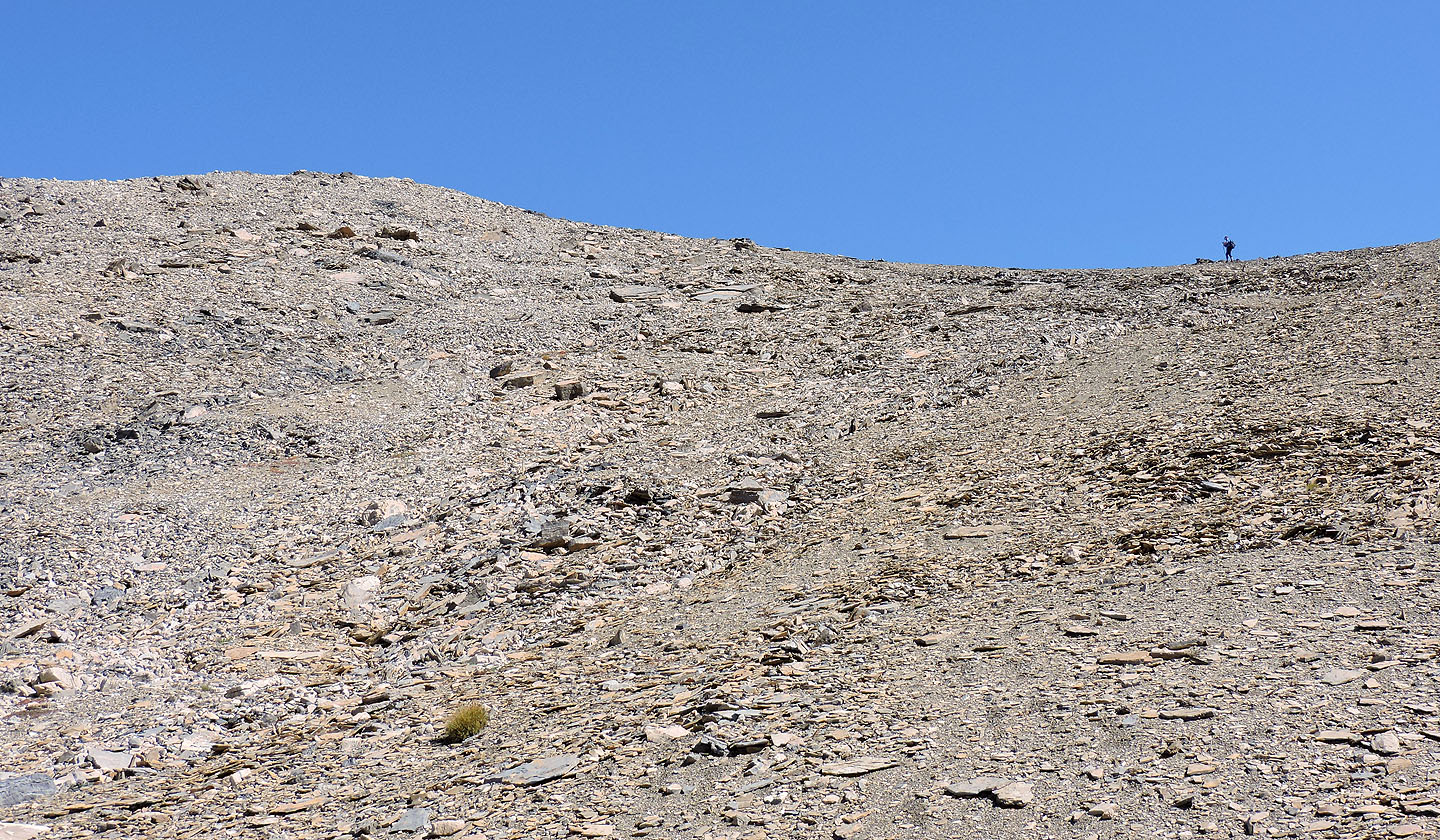
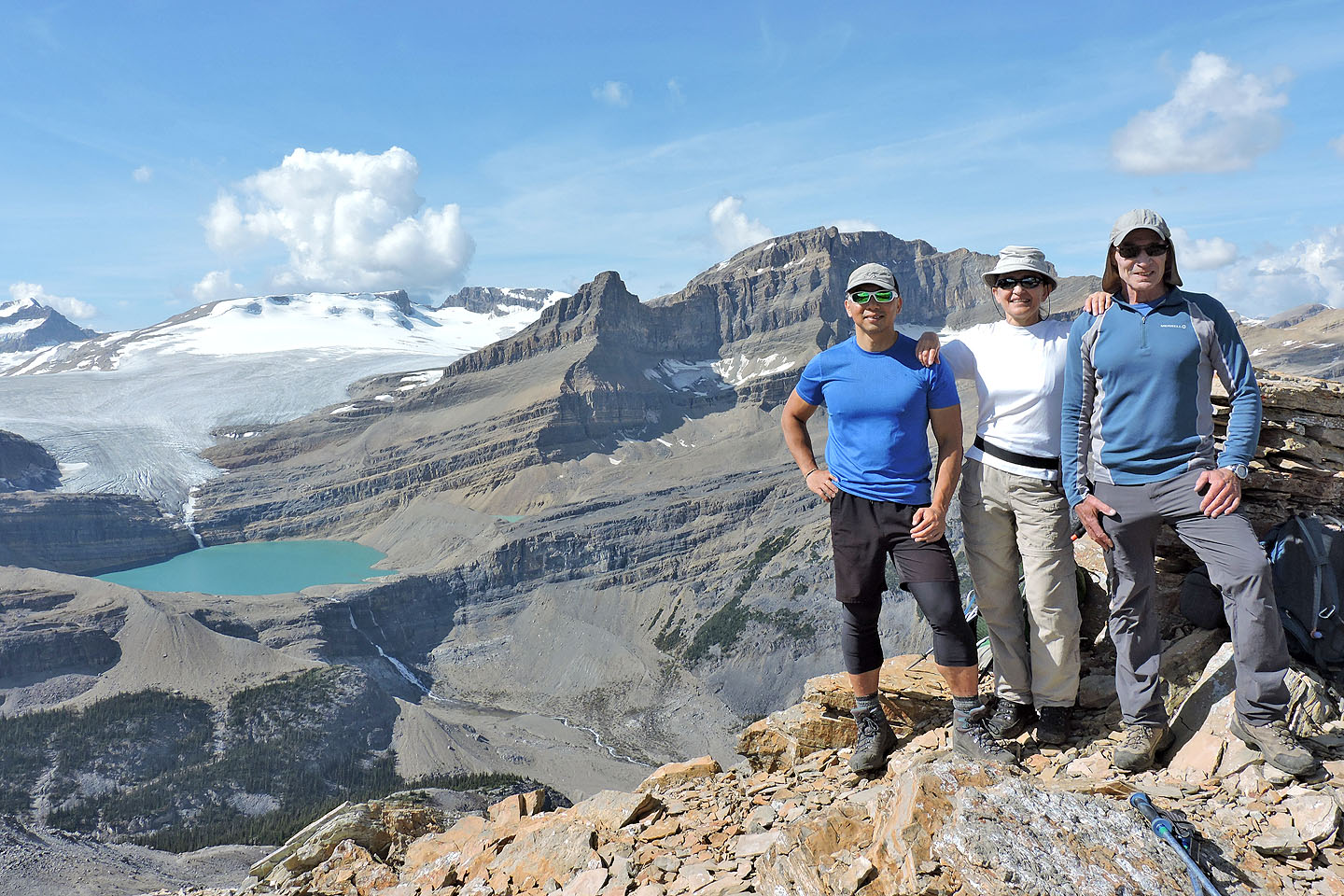
After a long plod up stable scree, we reached a bump on a ridge and were immediately captivated by the stunning scenery all around us. West, Wapta Icefield glistened in the sunshine, while east, gray peaks lined the Icefields Parkway. Distracted, we failed to notice we weren't on the correct viewpoint 100 m or so north. But our perch didn't lack views; we spent over 40 minutes gazing around and snapping photos. I took my panorama here.
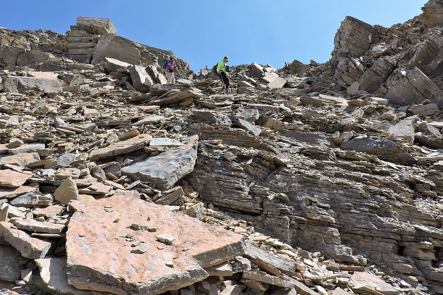
Then we turned our attention to the summit of Crowfoot North Peak, 250 m south. Several minutes later and after a short scramble up the east end of a cliff band, we were on top.
After a lengthy stay, we started down. But instead of climbing back down the east end, we hiked along the cliff band to a notch where we easily descended. We continued our descent on loose rock until we reached our ascent route. All the way back to the parking lot, Mother Nature continued to stream sunshine down on us.
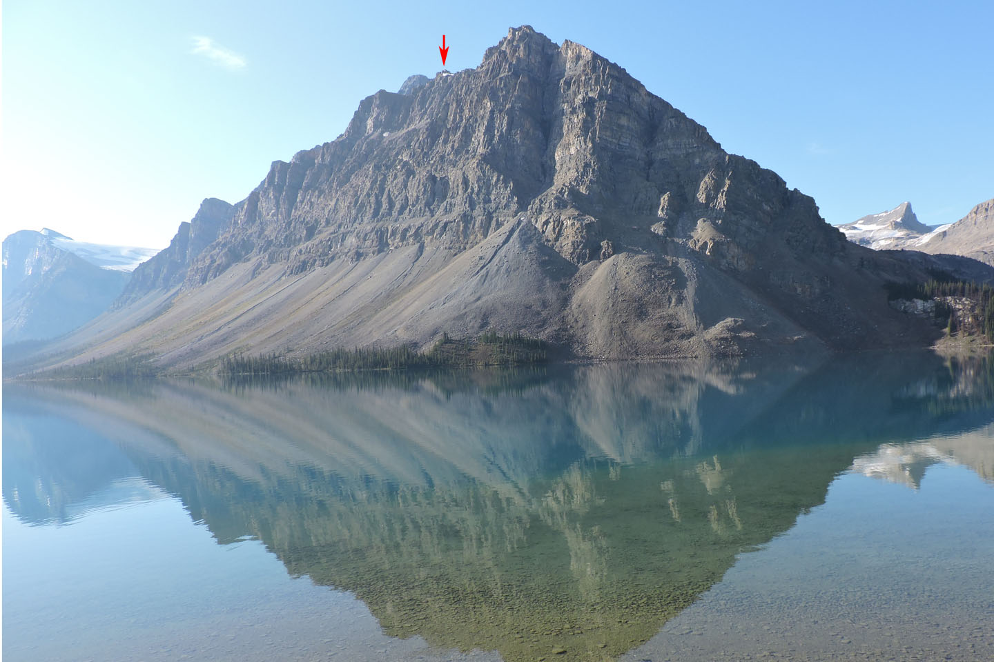
Crowfoot North Peak seen from the trailhead
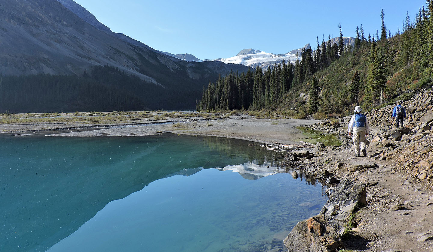
Hiking up the trail alongside Bow Lake
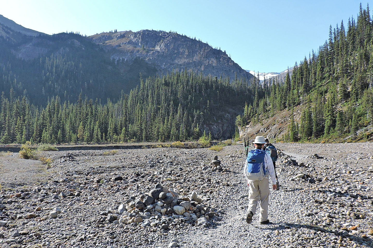 Ahead is the slope we'll angle up
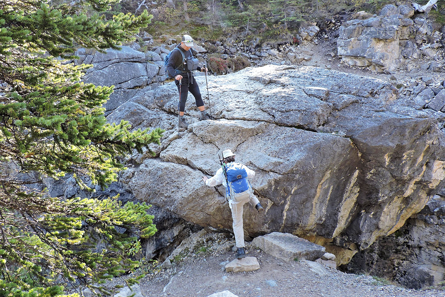
Climbing up the chockstone. Last year a ladder made it easy.
Continuing up the trail after the chockstone
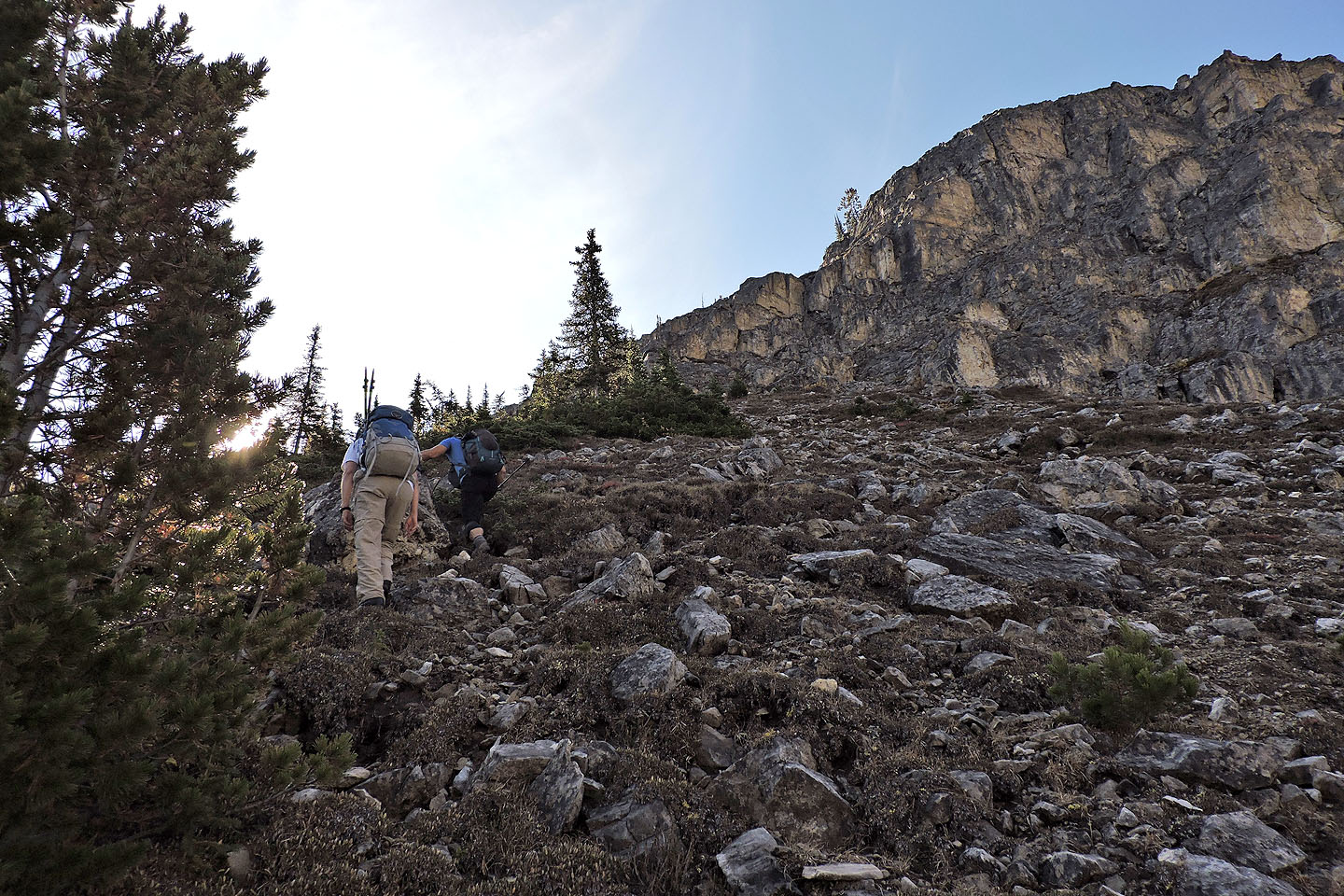
We kept left at the trail fork
We left the trail here
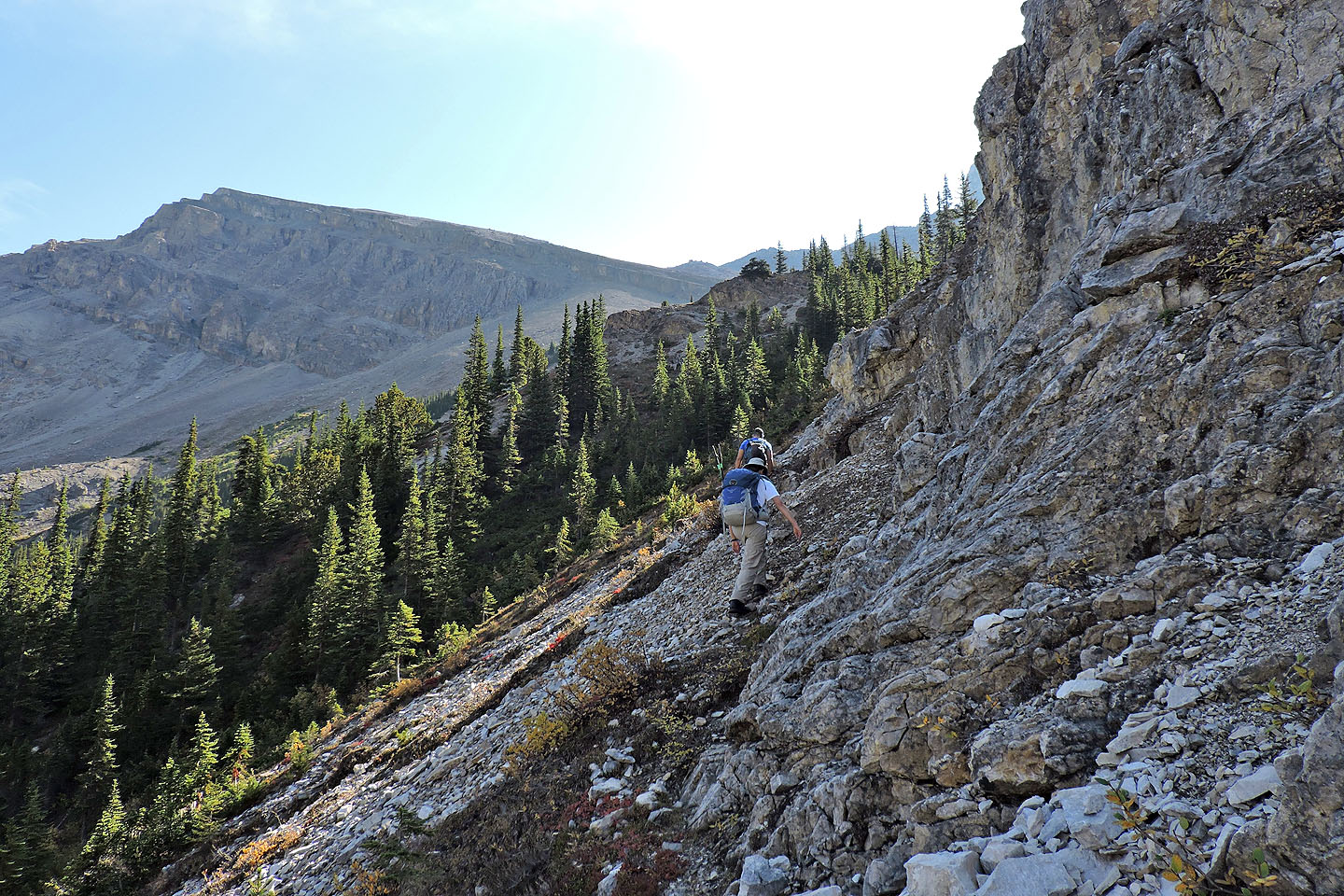
We came across a vague trail that follows the edge of the rocks
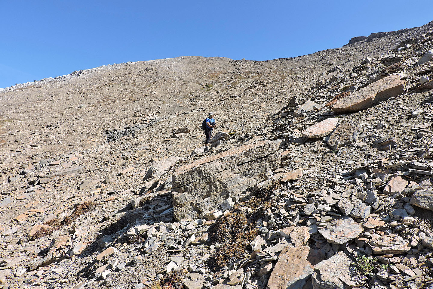
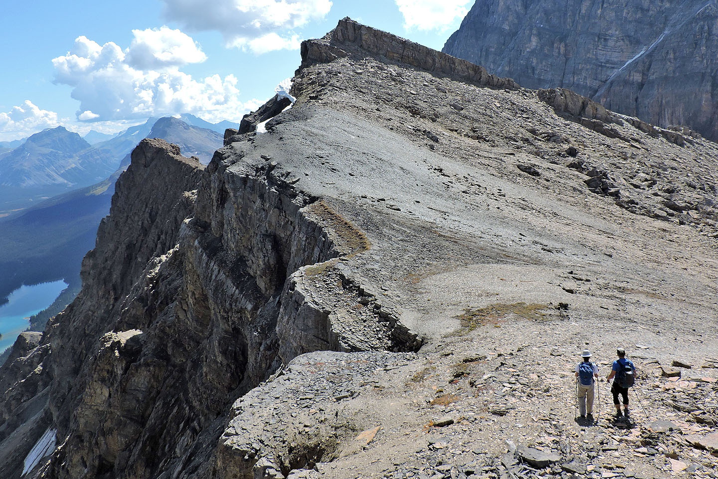
A short time later we were hiking up the rocks
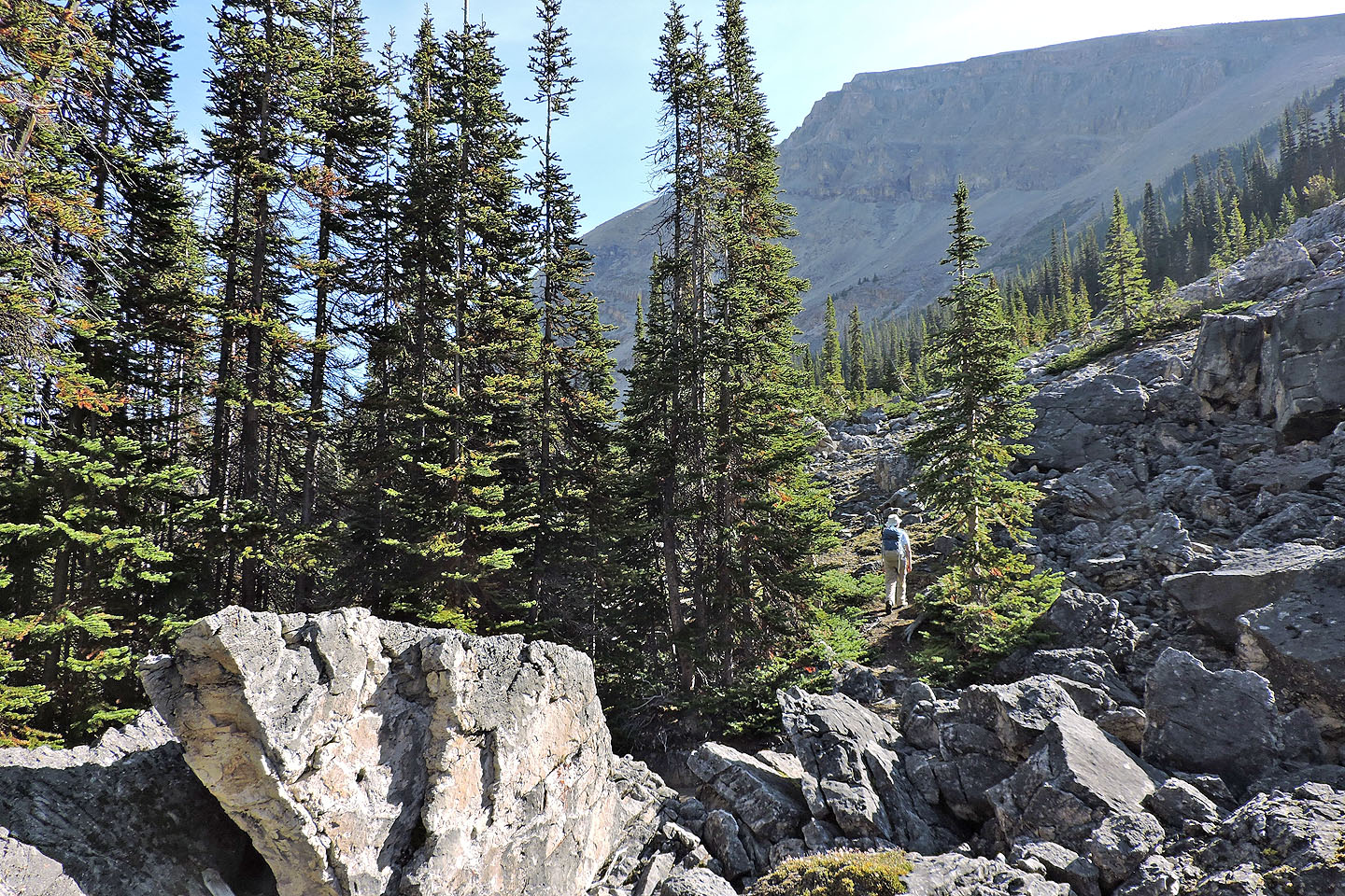
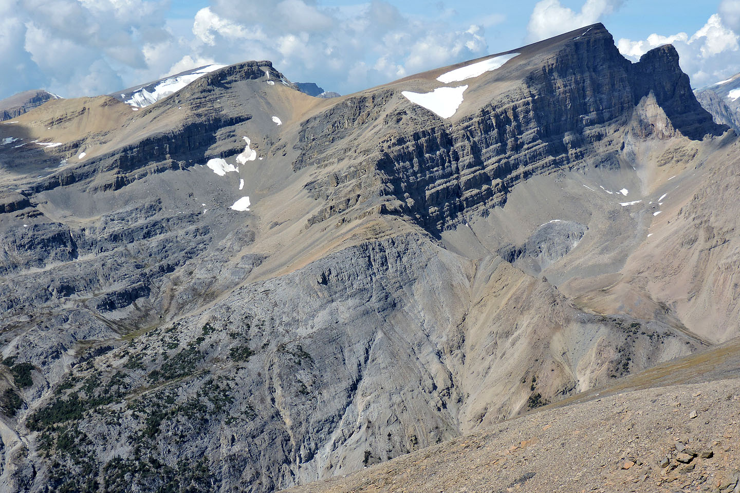
Impressive cliffs towered above us
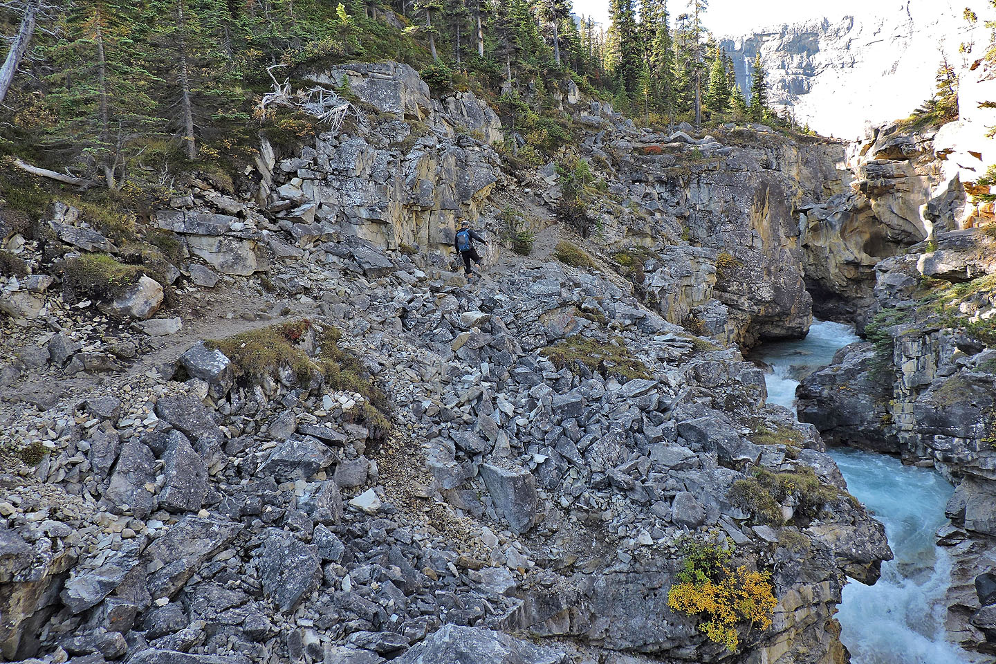
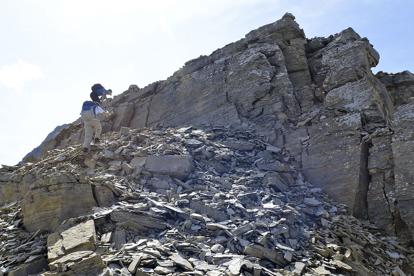
We skirted the base of the cliffs until we got around them
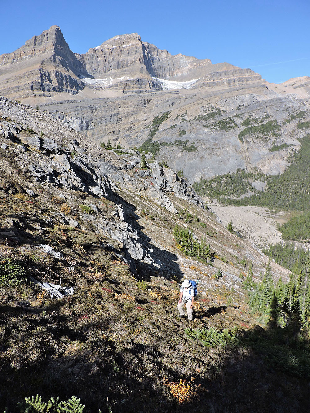
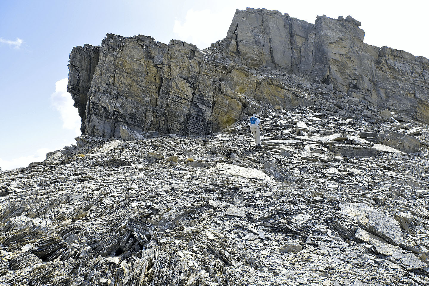
We finally reached the end of the cliff band
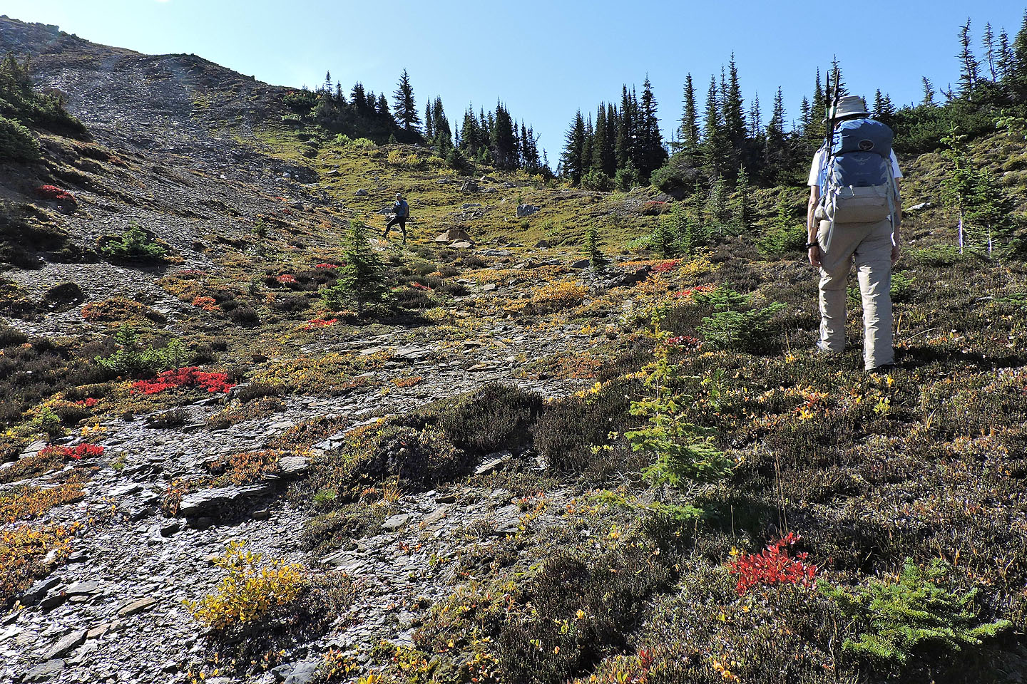
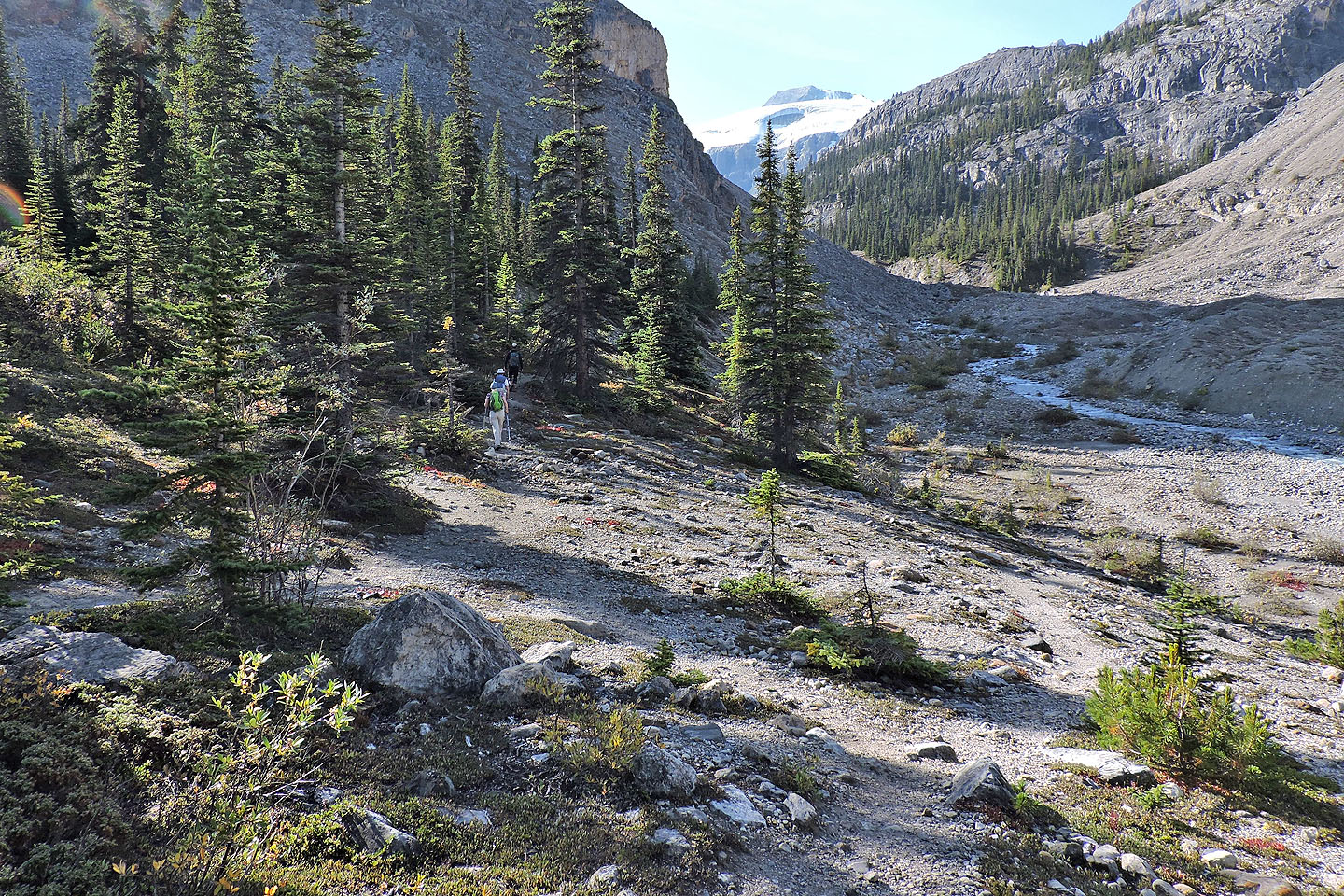
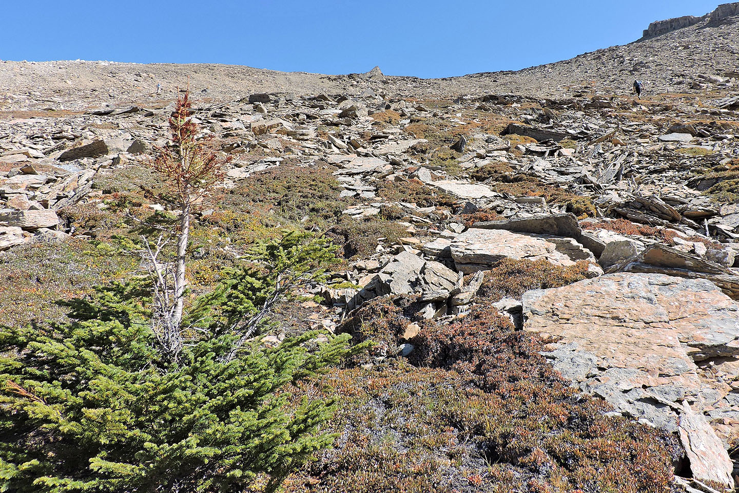
Coming to alpine meadows
The summit appears in the centre
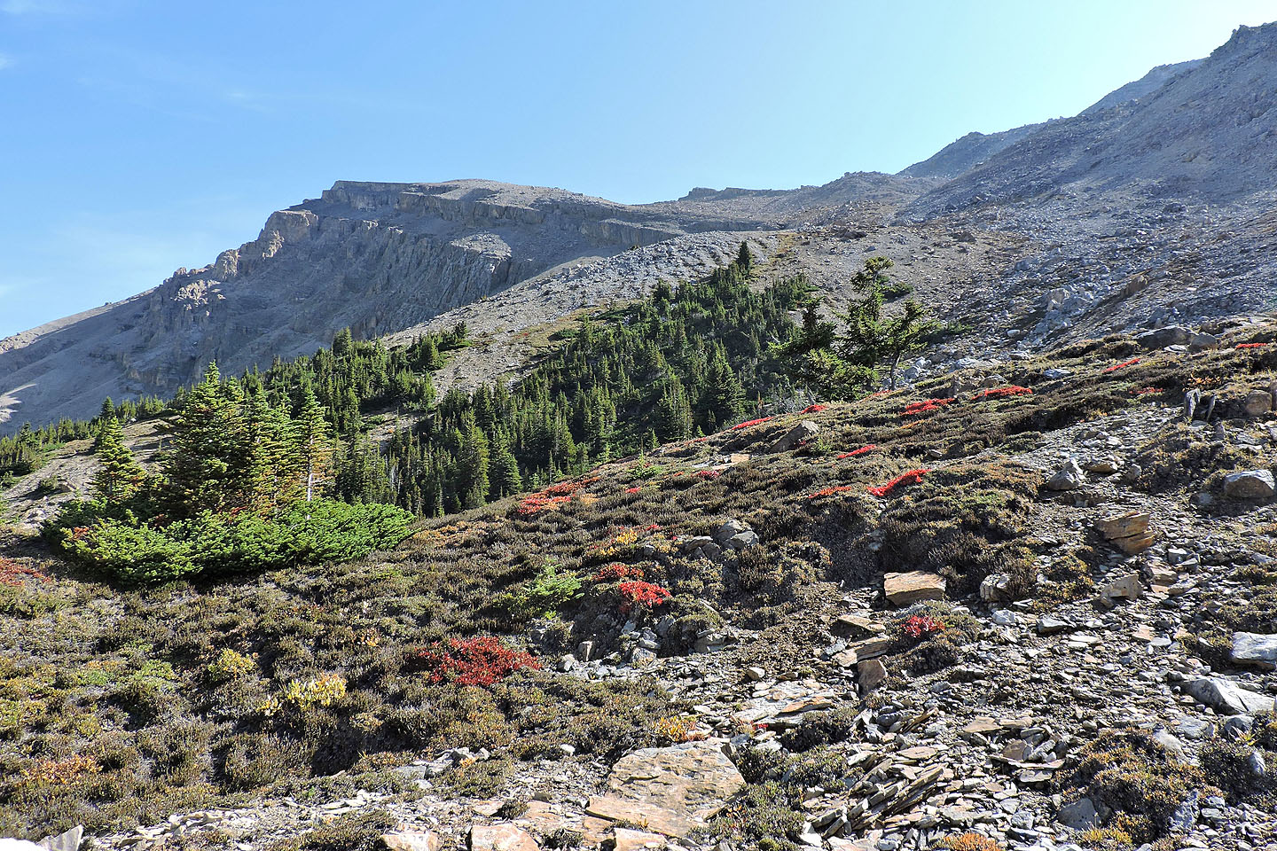
Looking back
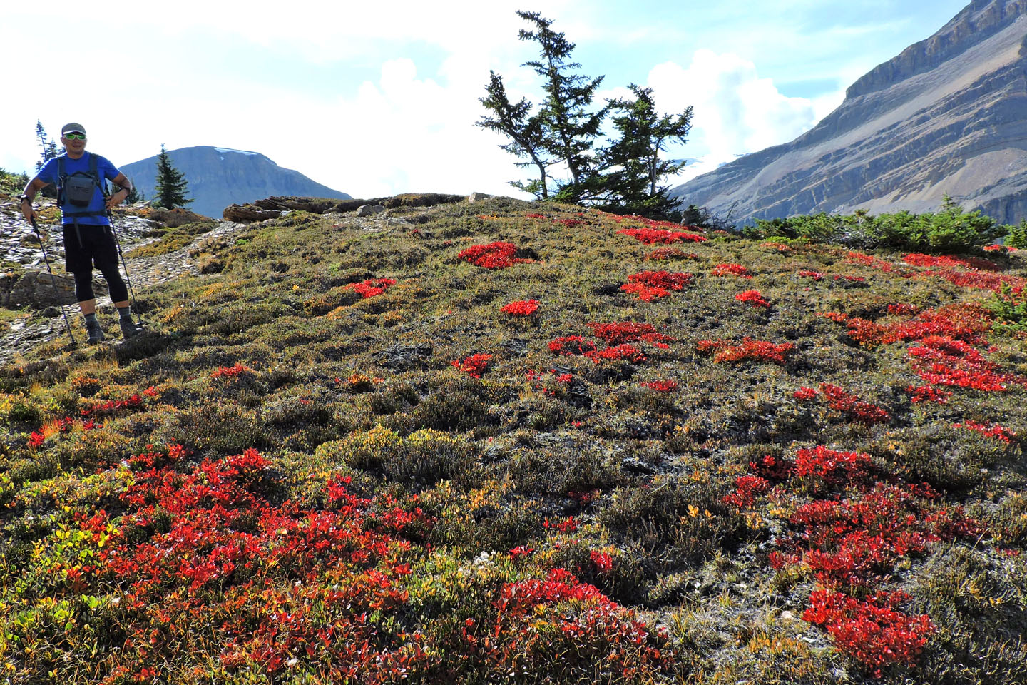
Sunlight lit up fall colours
Observation Peak appears above Bow Lake
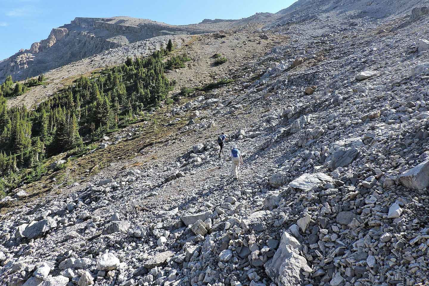
We traversed the rubble on our ascent, but on the descent Zora and Jonathan came down the ridge left
Looking back
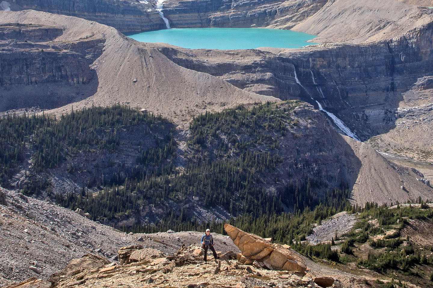
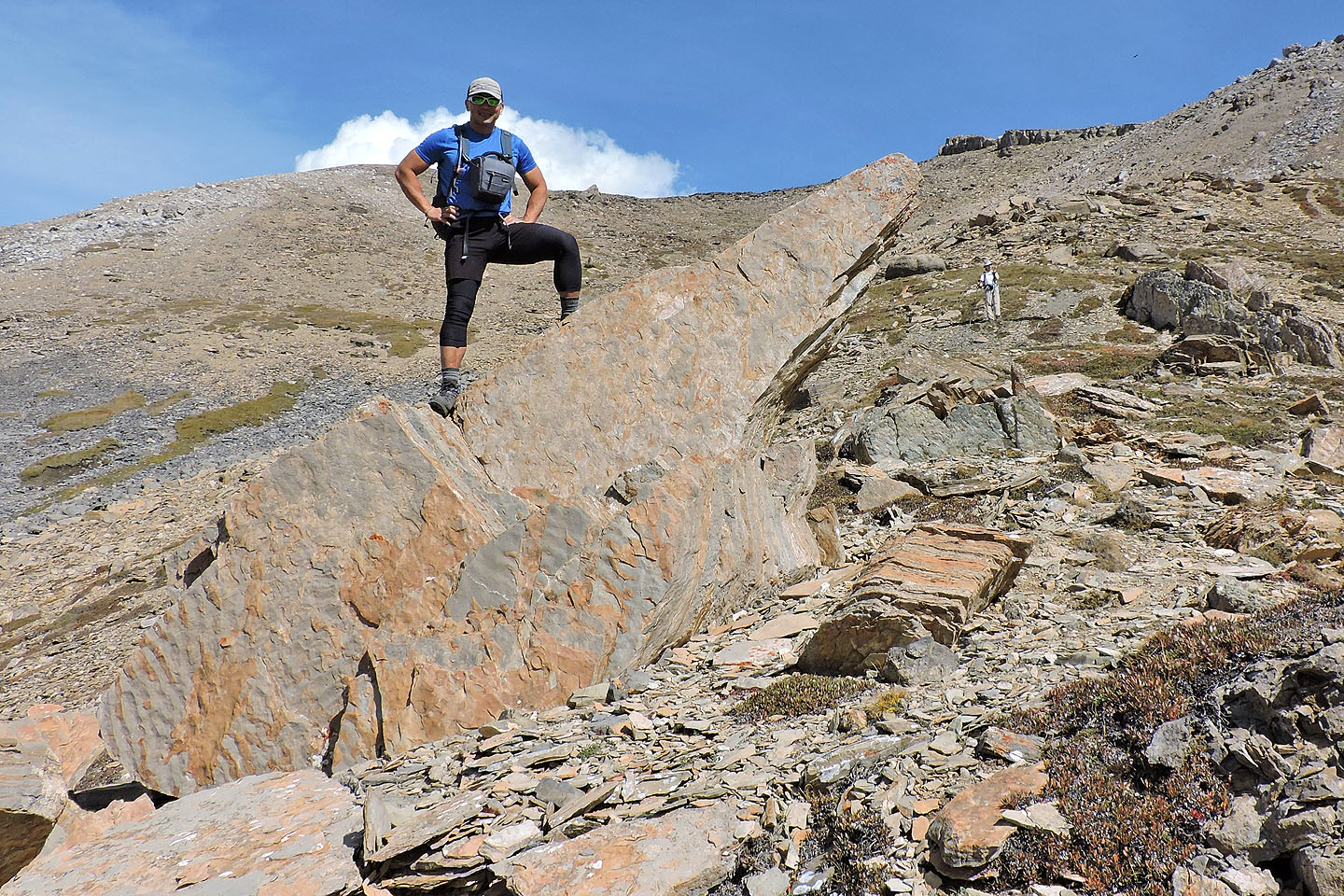
We called this rock "The Finger"
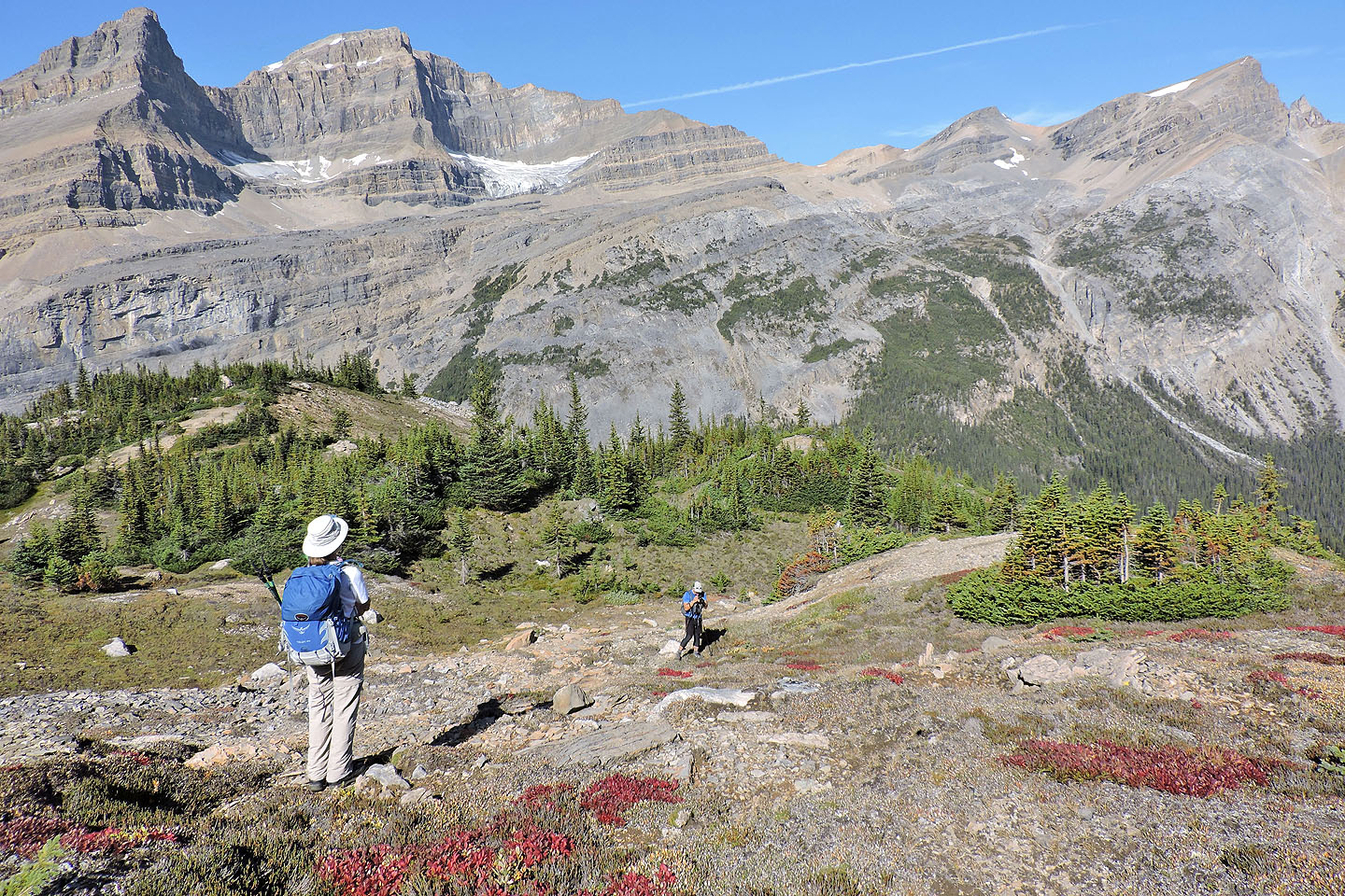
We headed left to the viewpoint
To reach Andrew's viewpoint we should have kept left of the point in the centre, but we went right
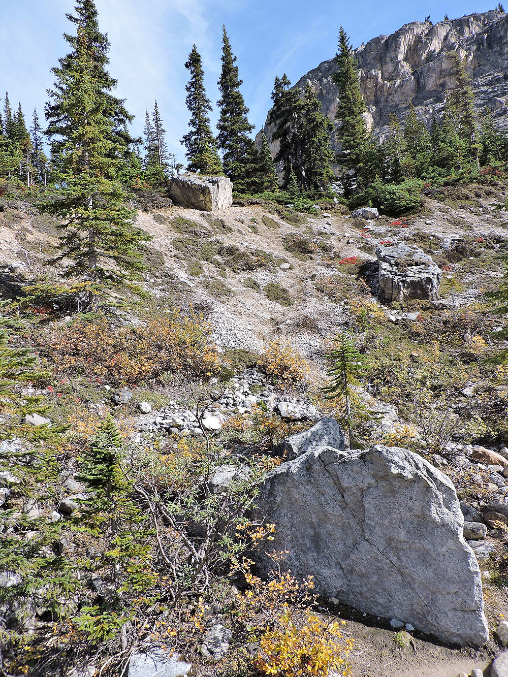
Much of the landscape is void of landmarks
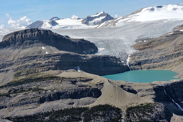
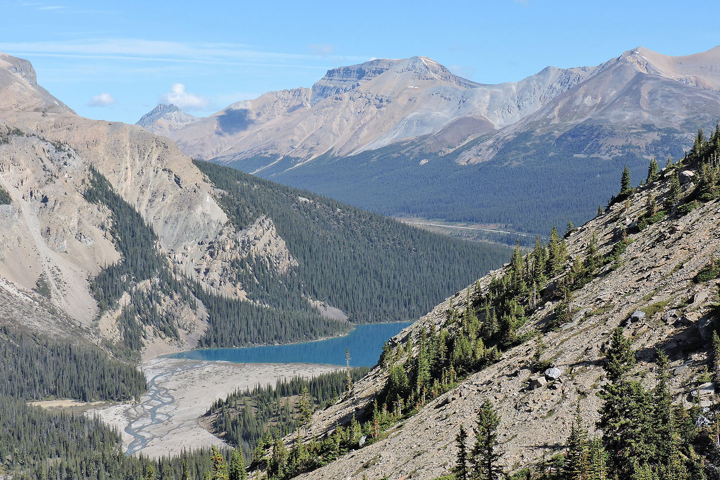
Behind us, The Onion appears left of Iceberg Lake
Jonathan and Zora on our viewpoint
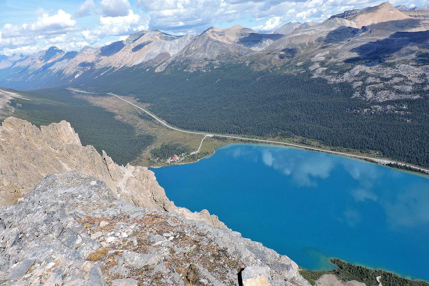
Looking down at Bow Lake
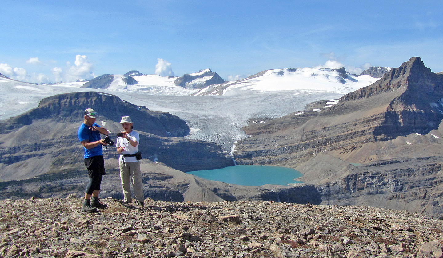
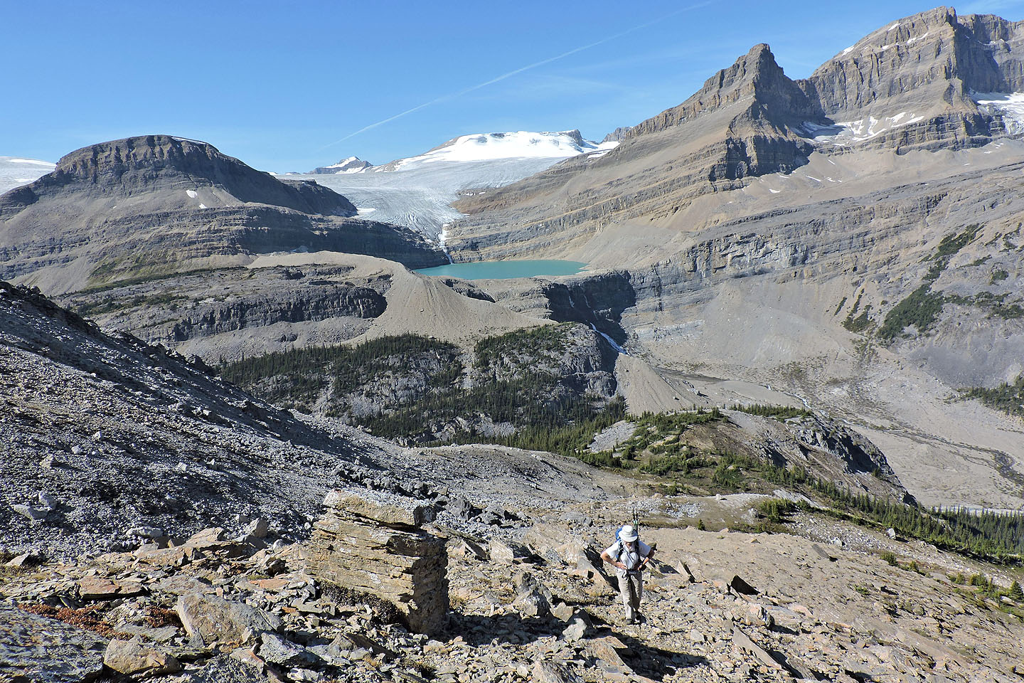
We spent a long time here snapping photos
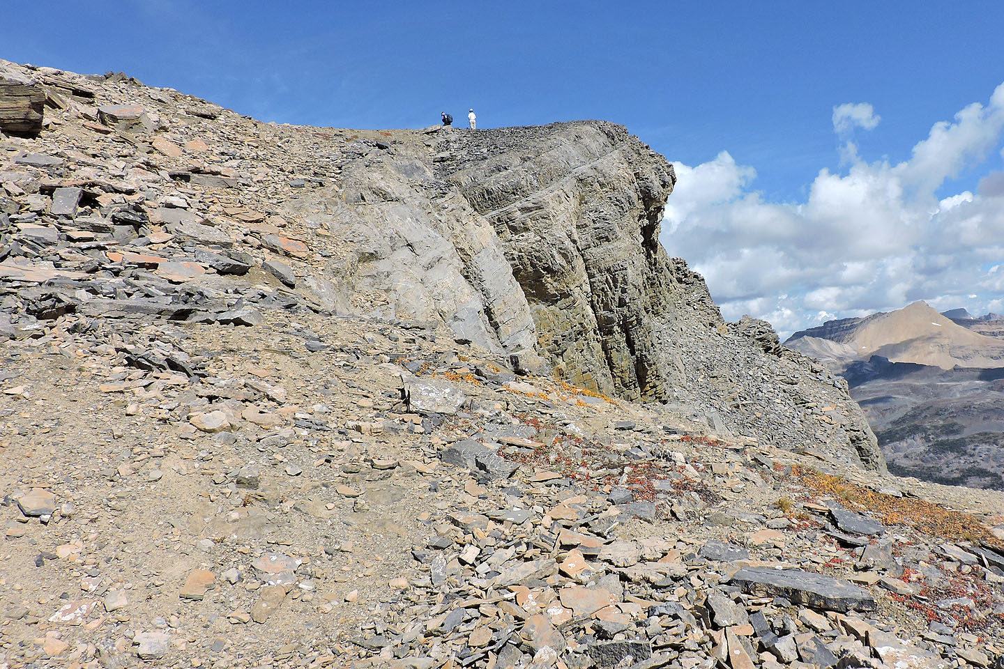
Heading to the summit. Later we would come down the notch in the ridge.
Nearing the summit
There's a brief scramble to the top
Jonathan, Zora and I on the summit
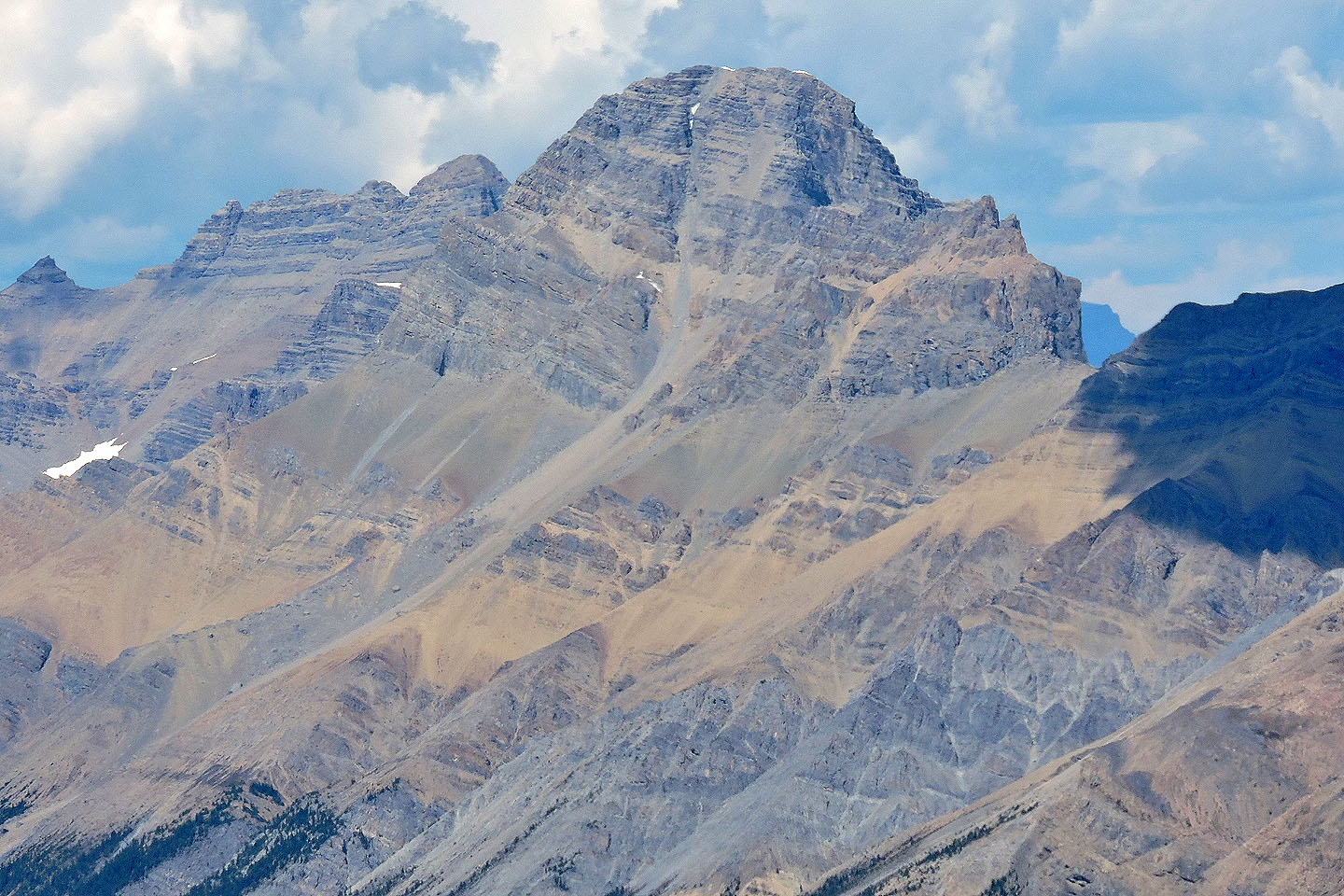
Mount Jimmy Simpson lies south
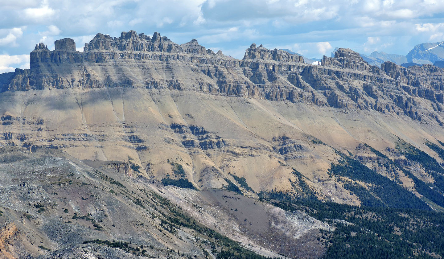
Dolomite Peak is immediately west
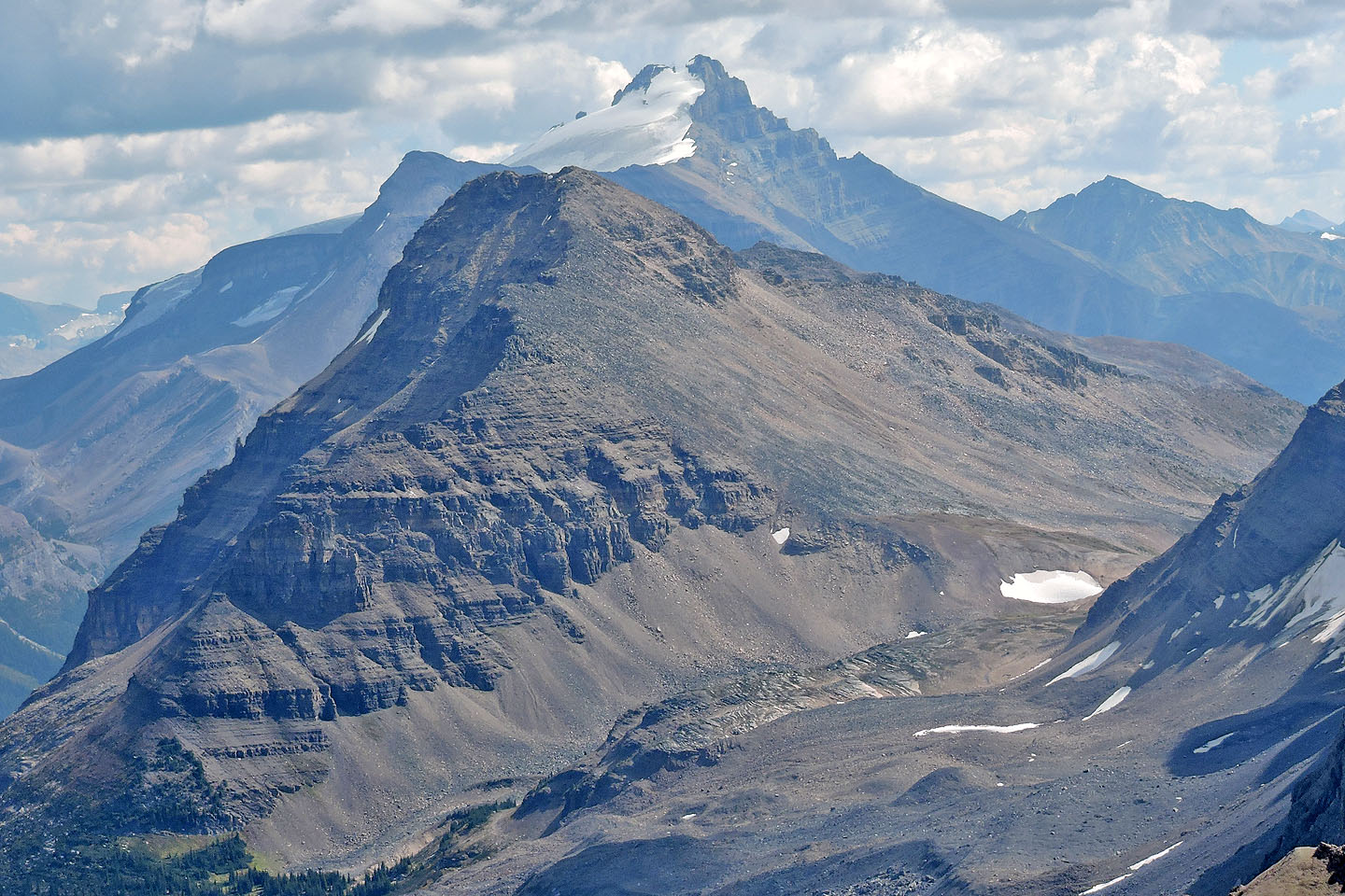
The long ascent gully on Mount Weed is clearly seen
Good view of the ascent slope on Bow Peak. Behind it is Mount Hector.
Heading down to the notch
Jonathan reaches the notch
The notch was an easy descent off the ridge
Back at The Finger which points to the summit of Crowfoot North

82 N/9 Hector Lake