bobspirko.ca | Home | Canada Trips | US Trips | Hiking | Snowshoeing | MAP | About
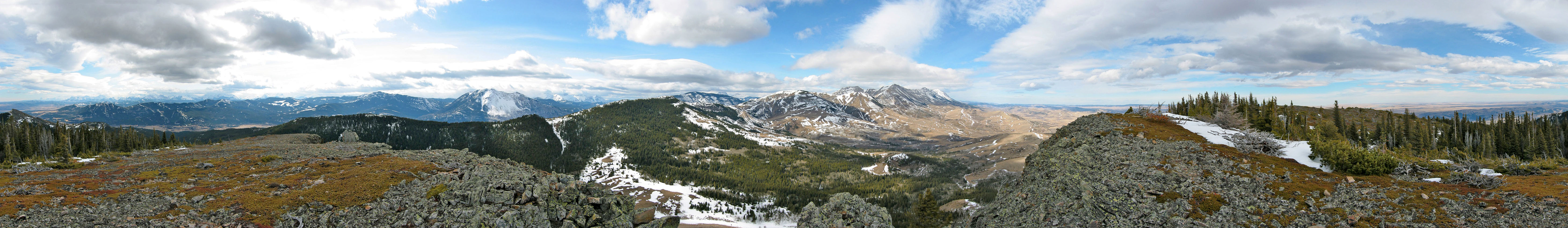
View
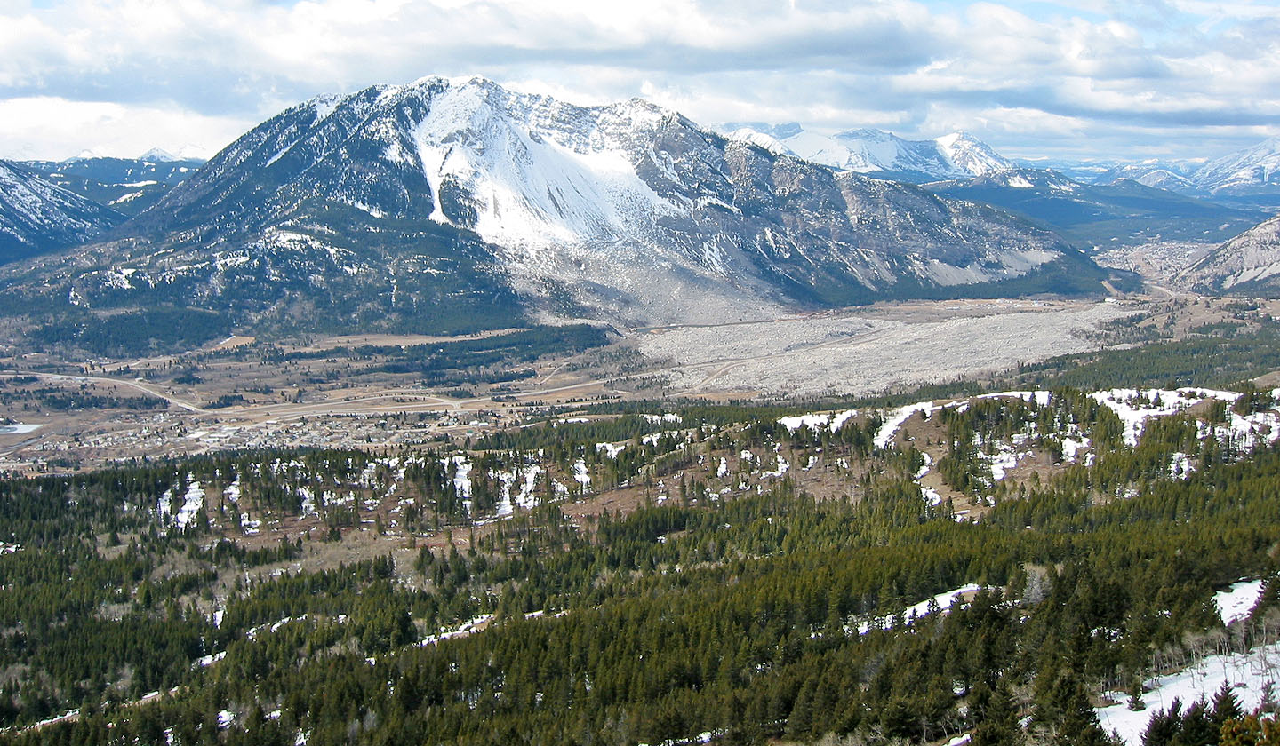
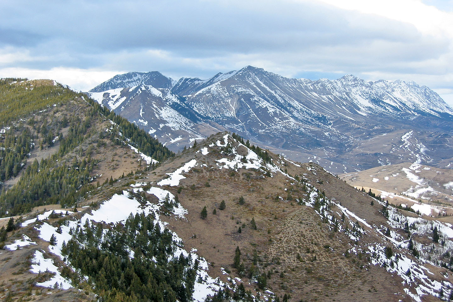
from Robertson Peak
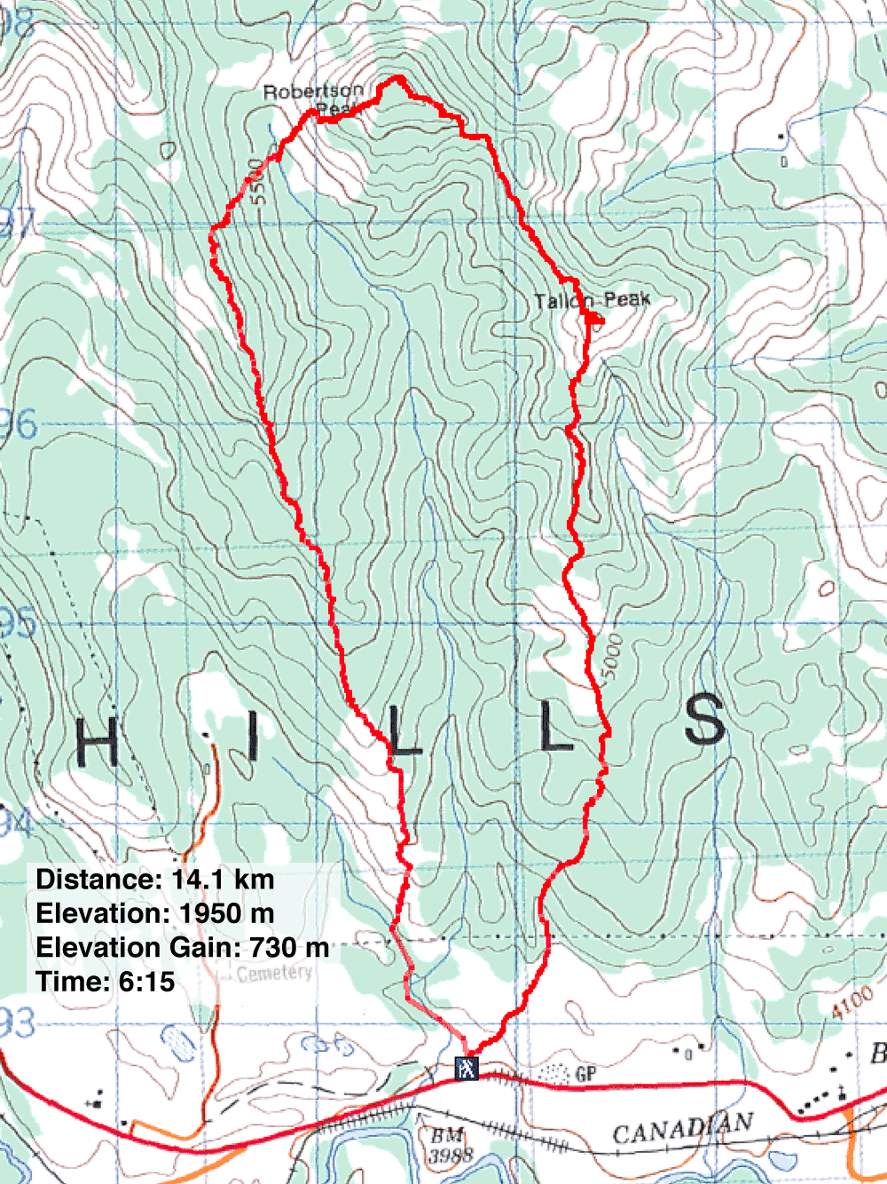
Robertson and Tallon Peaks (South Approach)
Crowsnest Pass, Alberta
March 29, 2003
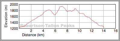
Distance: 14.1 km (8.8 mi)
Cumulative Elevation Gain: 1368 m (4488 ft)
We had intended to climb the South End of Livingstone Range, but deep snow hampered us, so we decided to ascend two small, nearby peaks instead. We parked in a parking lot next to a building shell, the remains of the Leitch Collieries, and headed to the south end of Livingstone Range. (This ridge is part of the Two Mine Trail.)
After ascending partway up the ridge, we dropped down nearly 200 m on the east side and climbed Robertson Peak which was mostly free of snow. From there, we followed a ridge southeast, losing 180 m in the process, to climb Tallon Peak, shorter than Robertson by 100 m. From Tallon Peak, we took the south ridge back to the car. The trip was largely an off-trail hike.
Despite being minor peaks, they offered great views and interesting landscapes. (I prefer the south approach, but for the shorter east approach see our 2009 trip.)
Note: I have no GPS data for the first kilometre so that part of the route is approximate. GPS receivers didn't work well back then.
Postscript: On Sonny Bou's trip, he didn't climb up and down the ridge as we did at the start. Staying in the valley, he found an exploration road and avoided gaining/losing 200 m of elevation.
Starting up a trail
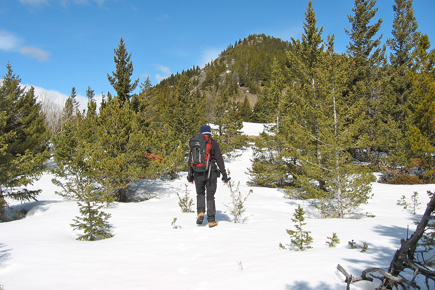
We hit a patch of snow
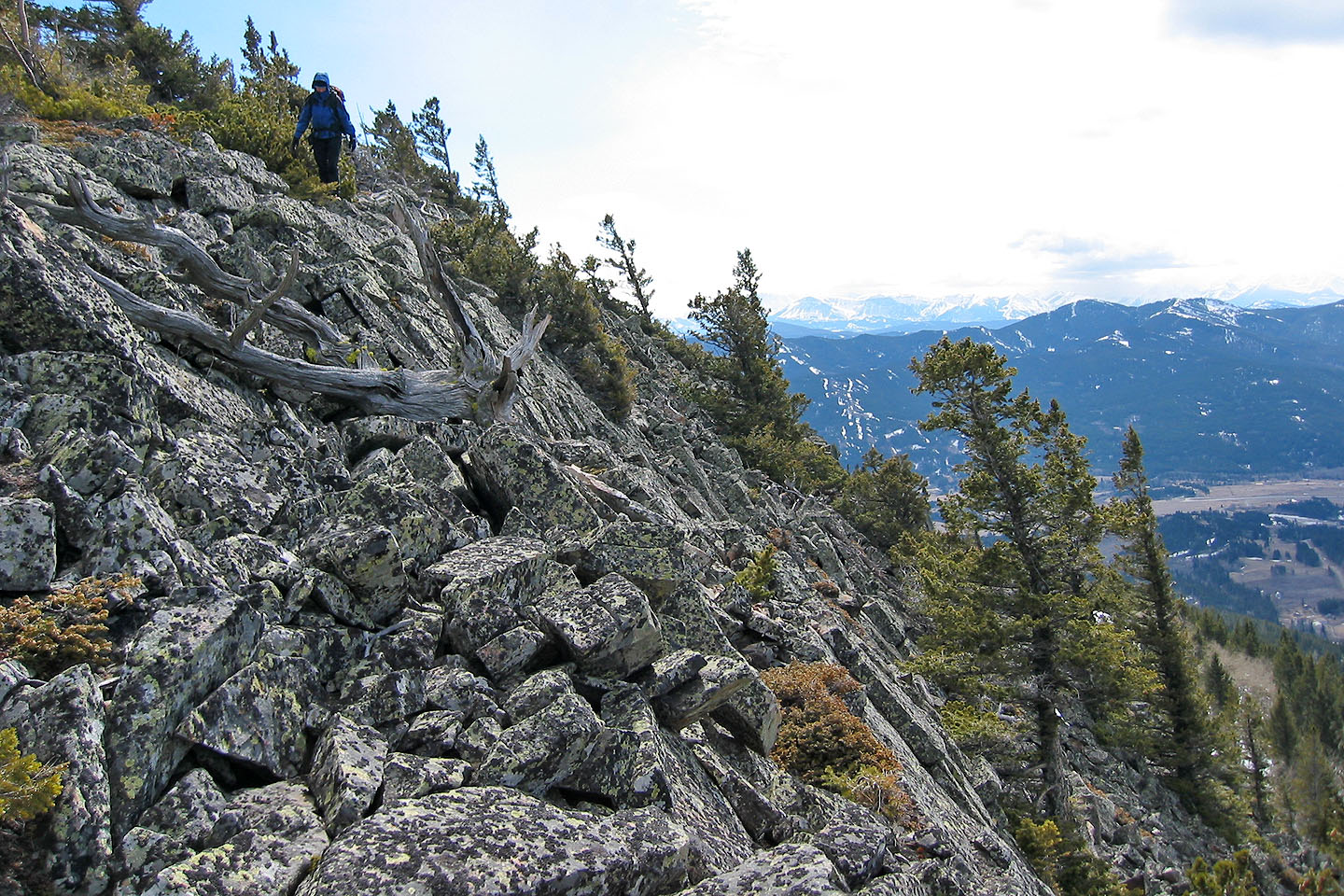
We do some scrambling on the ridge
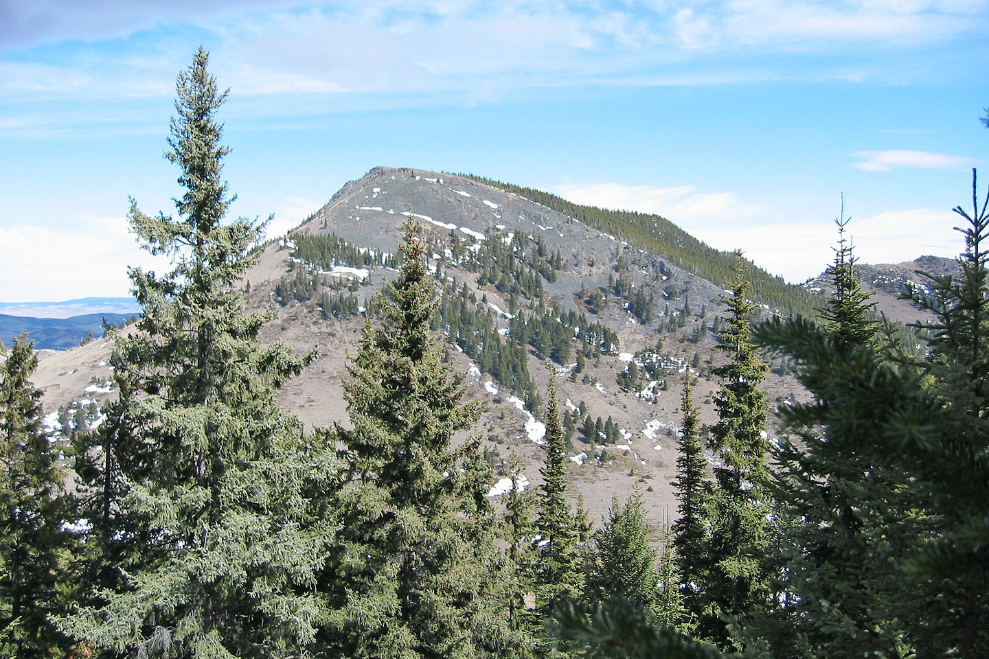
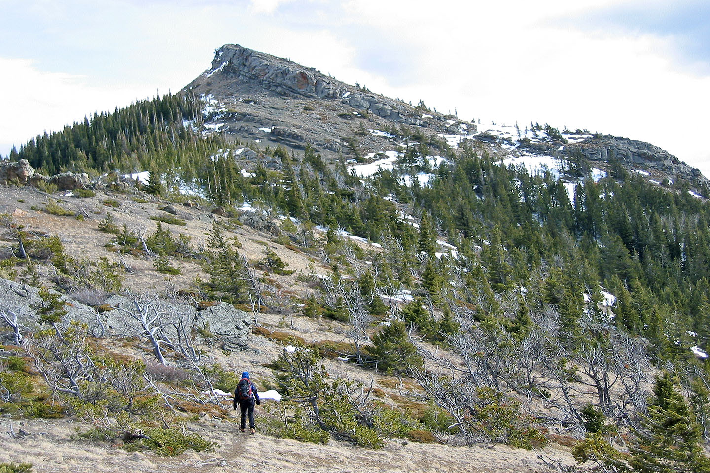
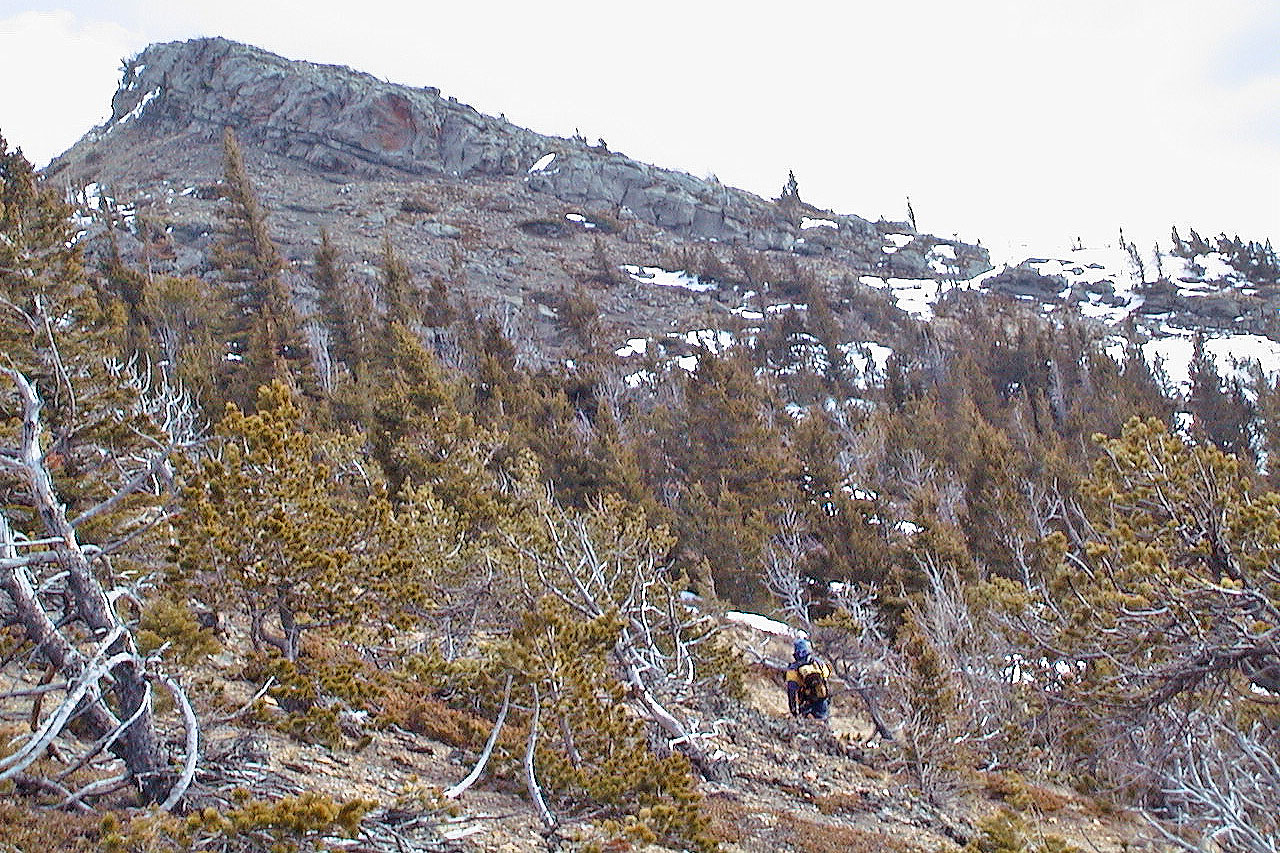
After seeing dry slopes of Robertson Peak we left the ridge to climb it
Livingstone Range. The South End is right of centre.
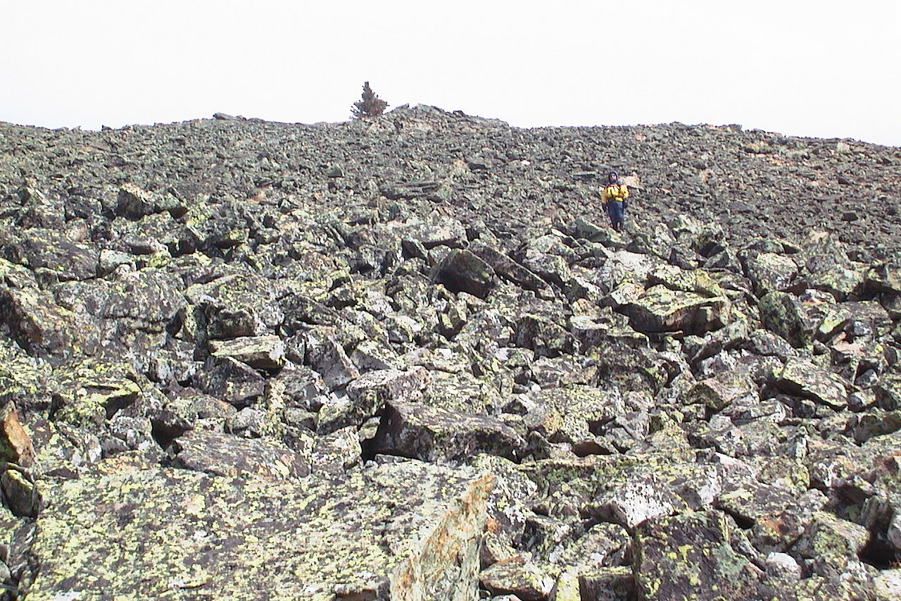
Ascending the talus slope on Robertson Peak
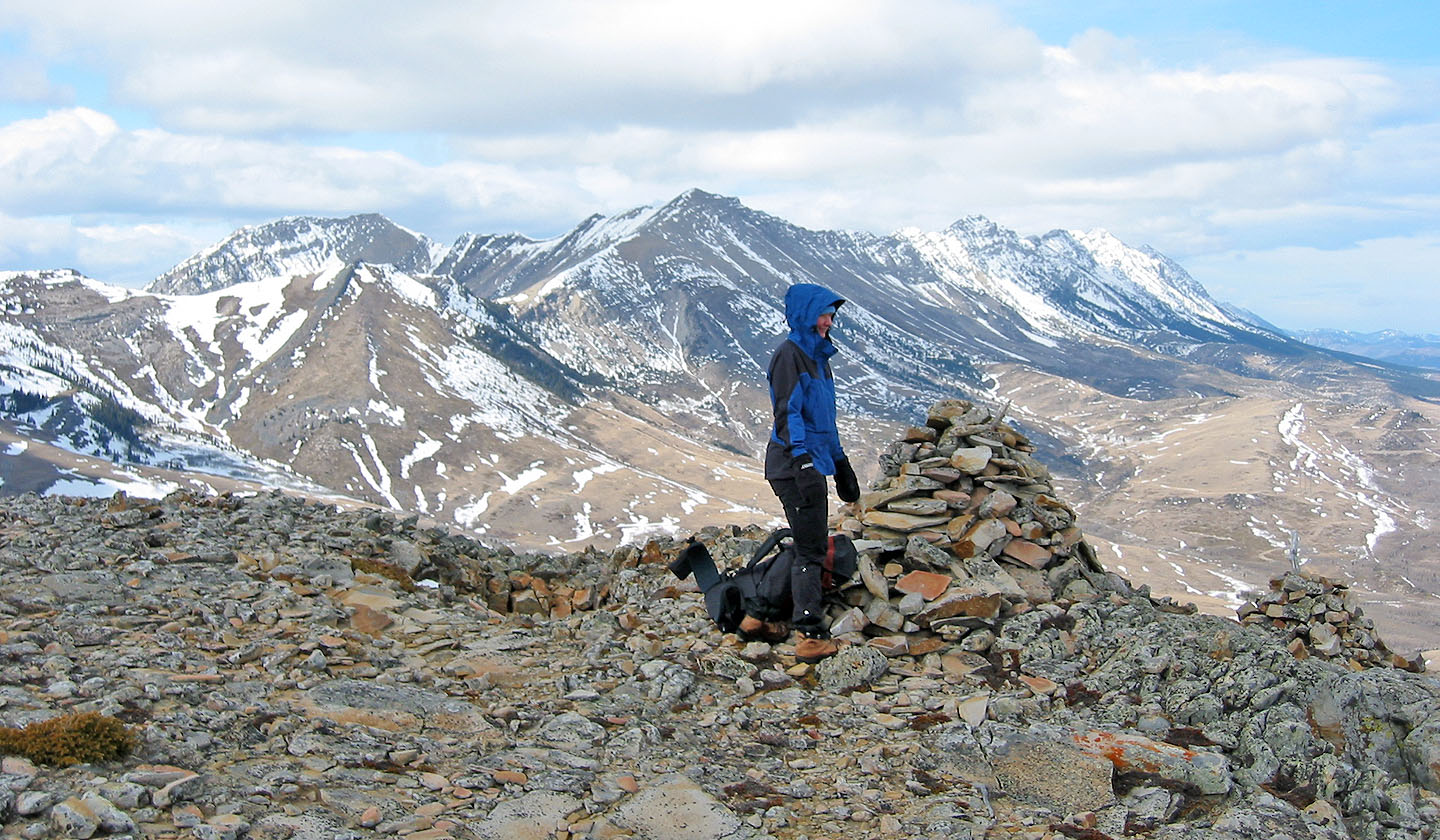
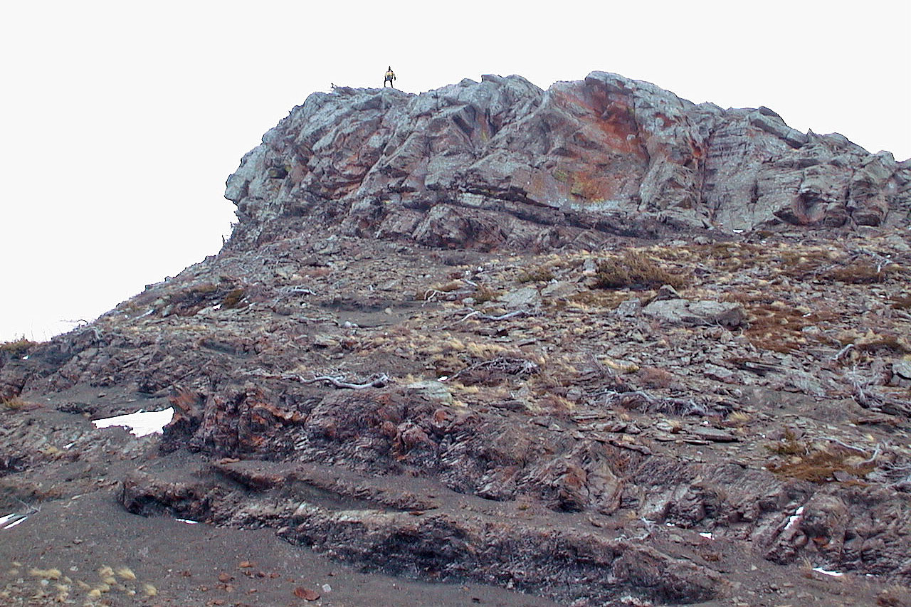
On the summit of Robertson
Heading to Tallon Peak
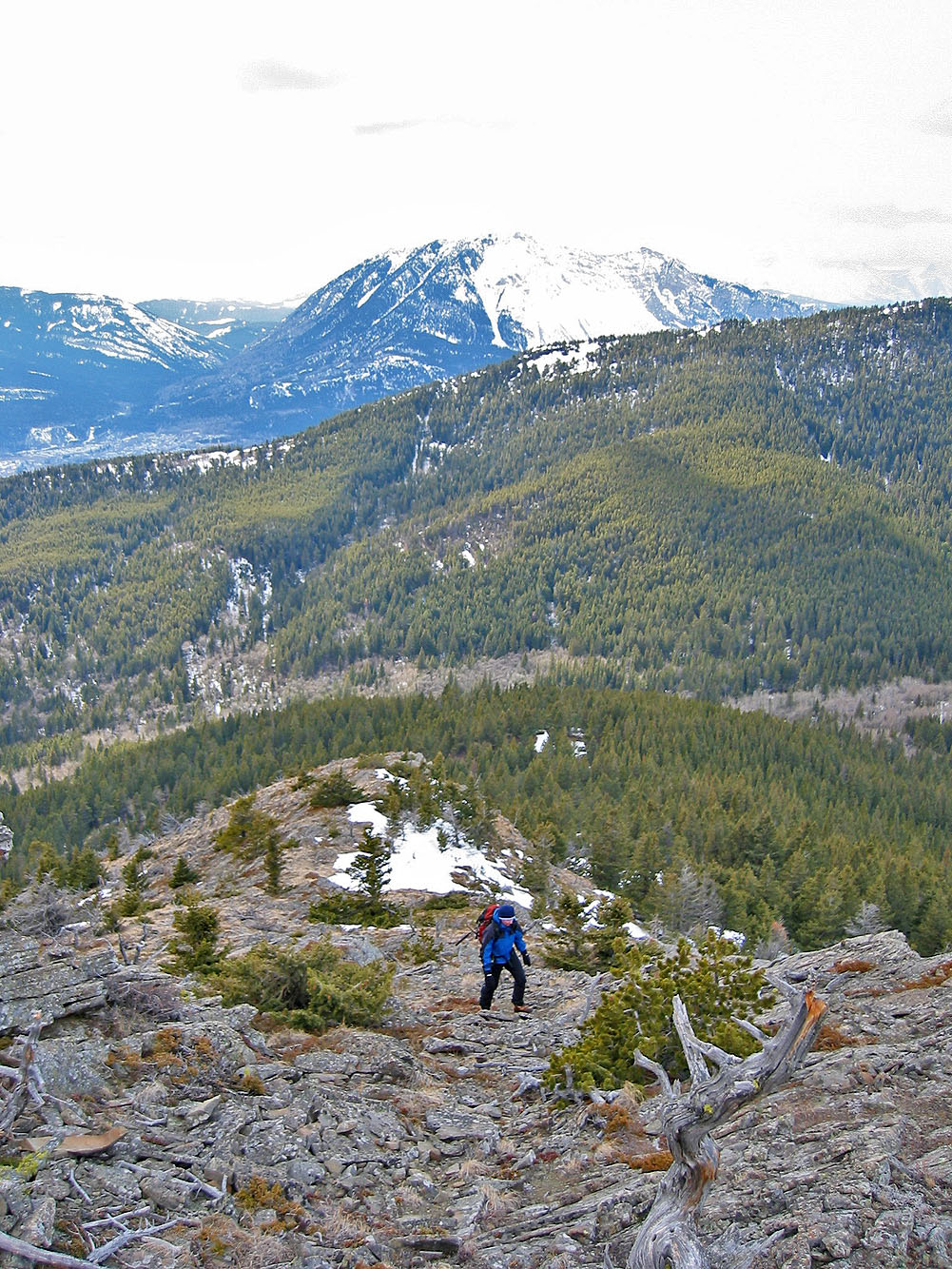
Looking back
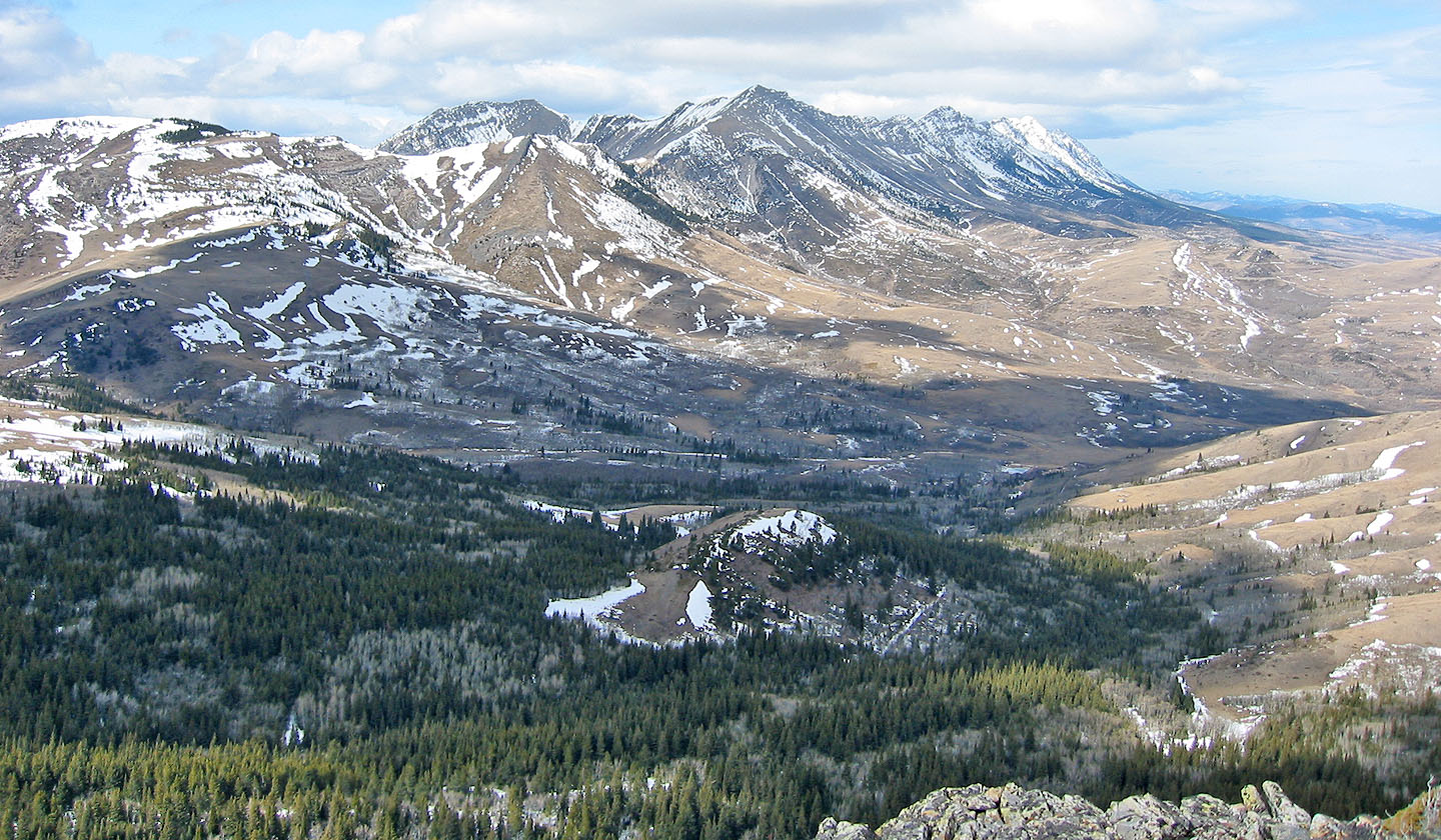
Looking back at Robertson on the left
Light bushwhacking before we reached the base of Tallon
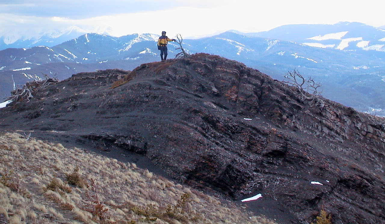
On the summit of Tallon Peak
Some interesting rock on our descent
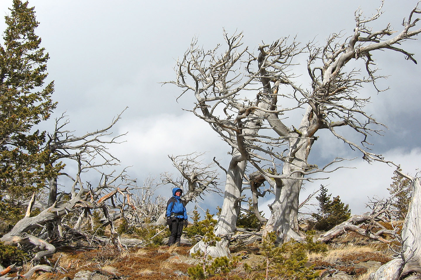
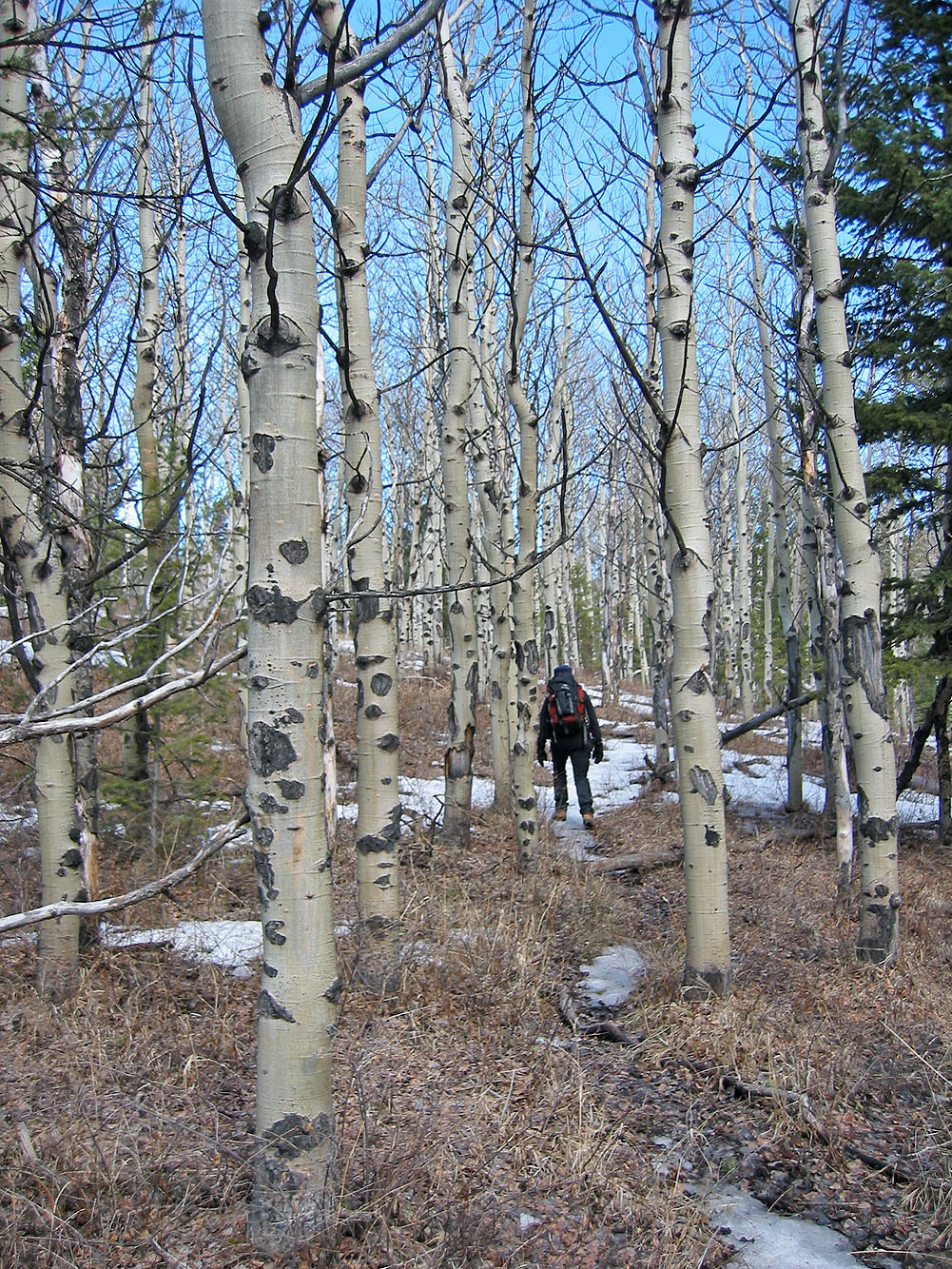
Passing through dead trees
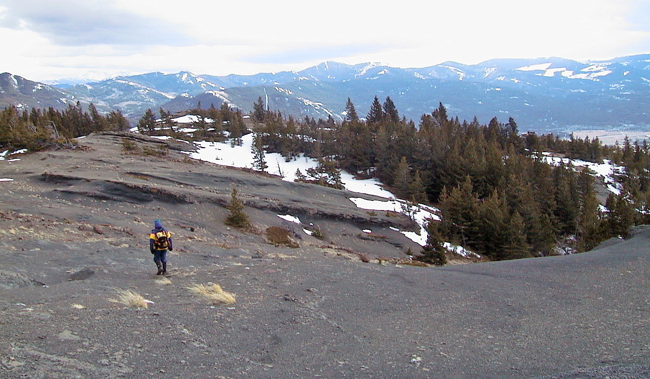
Continuing down the south ridge
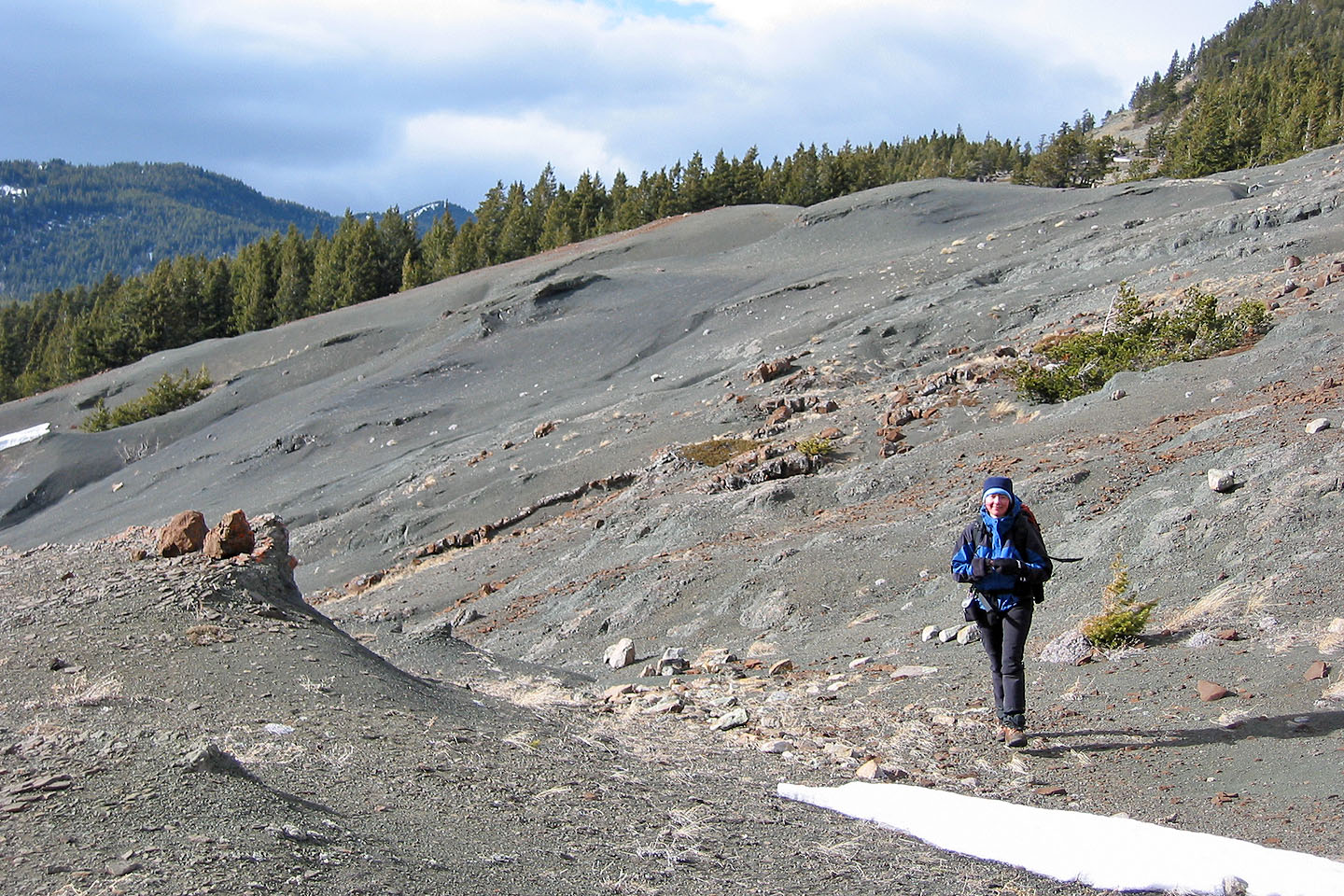
Unusual landscape
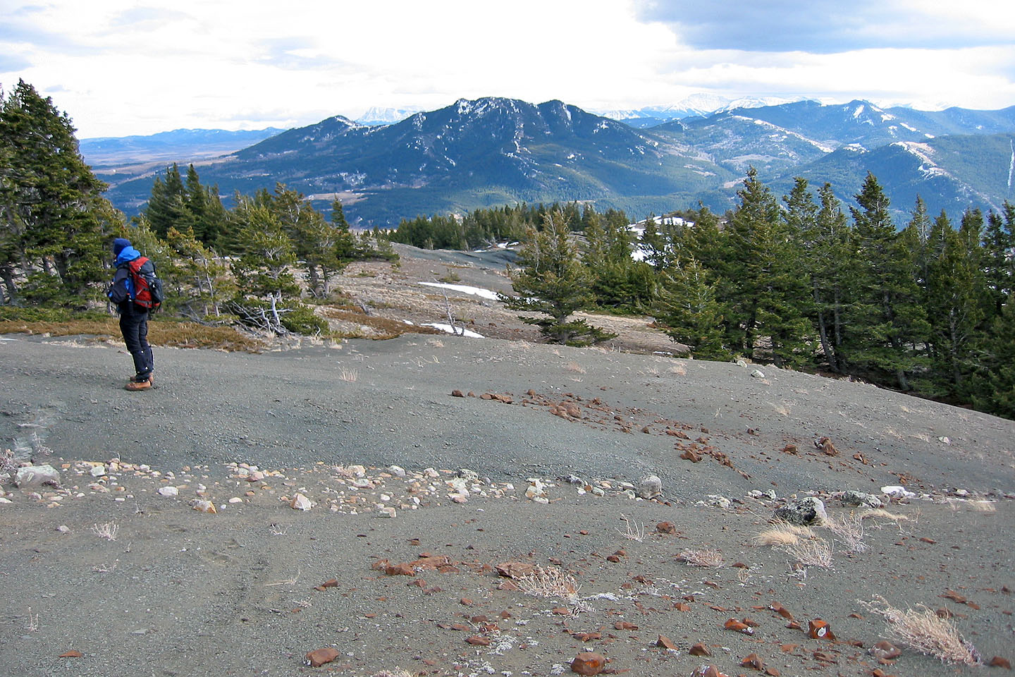
Byron Hill in the background
82 G/9 Blairmore