bobspirko.ca | Home | Canada Trips | US Trips | Hiking | Snowshoeing | MAP | About

Piitaistakis Ridge
Crowsnest Pass, Alberta
April 12, 2008
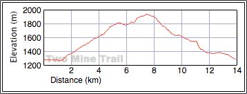
Distance: 14.0 km (8.7 mi)
Cumulative Elevation Gain: 701 m (2300 ft)
The avalanche risk in the Rockies was so high the advisory read: “Better to dust off the bike and go for a ride.” Dinah and I didn’t get on our bikes, but we did dust off our hiking boots to take on the Two Mine Trail described in Hiking the Historic Crownest Pass. Despite the name, much of the trip was off-trail. Since we reached a ridgetop, I called "Two Mine Ridge," but after referring to peakery.com, I used their term.
The trail reaches a high point on the south end of Livingstone Range. We didn’t do the suggested one-way trip since it involves taking two vehicles. Instead, we started at the cemetery and followed the ridge up. We saw little sign of the old mining road we were to take. Either it was overgrown, had deteriorated or was buried under snow. We hiked offtrail, bushwhacked and scrambled up the ridge.
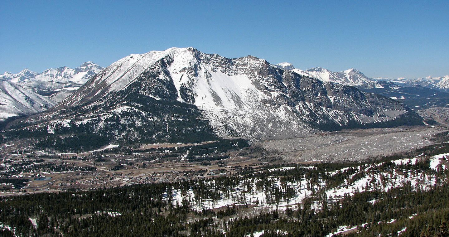
There was much more snow than we expected, and although most of it was firm, we did a fair amount of postholing. We saw little evidence of any old mining activity (Leitch Collieries would have been a better starting point for that). Because we were often in the trees, the views were limited, but Turtle Mountain presents its best side to the ridge.
After reaching the summit, we had little interest in retracing our steps back along the ridge. So we hiked back a short way from the summit and dropped down the west side before making our way to our car.
Although not an exciting trip, it was certainly more challenging and interesting than we expected. But I don’t recommend this trip when there is so much snow!
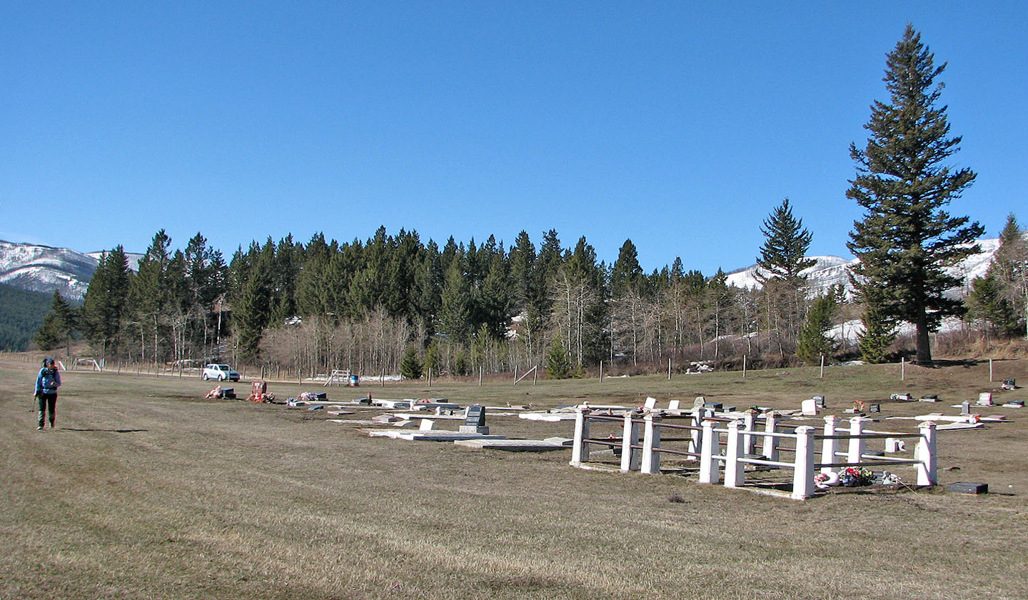
The graveyard start is suggested in the guidebook
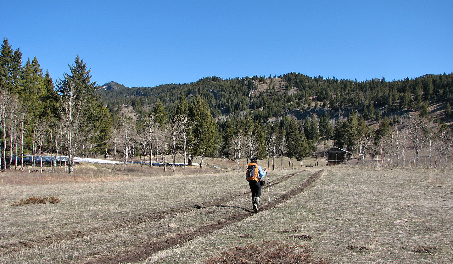
We headed to the ridge
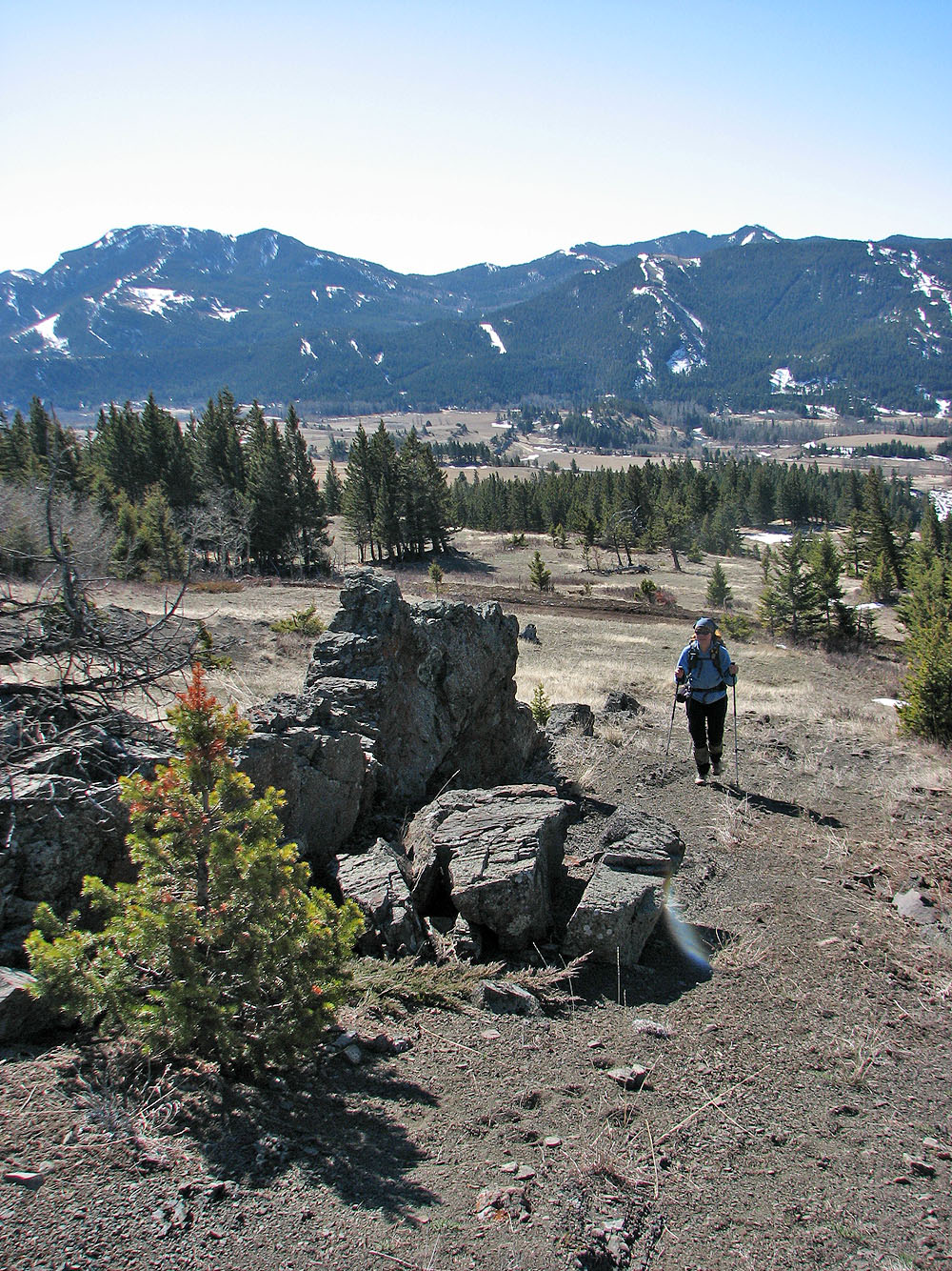
Hiking on the ridge
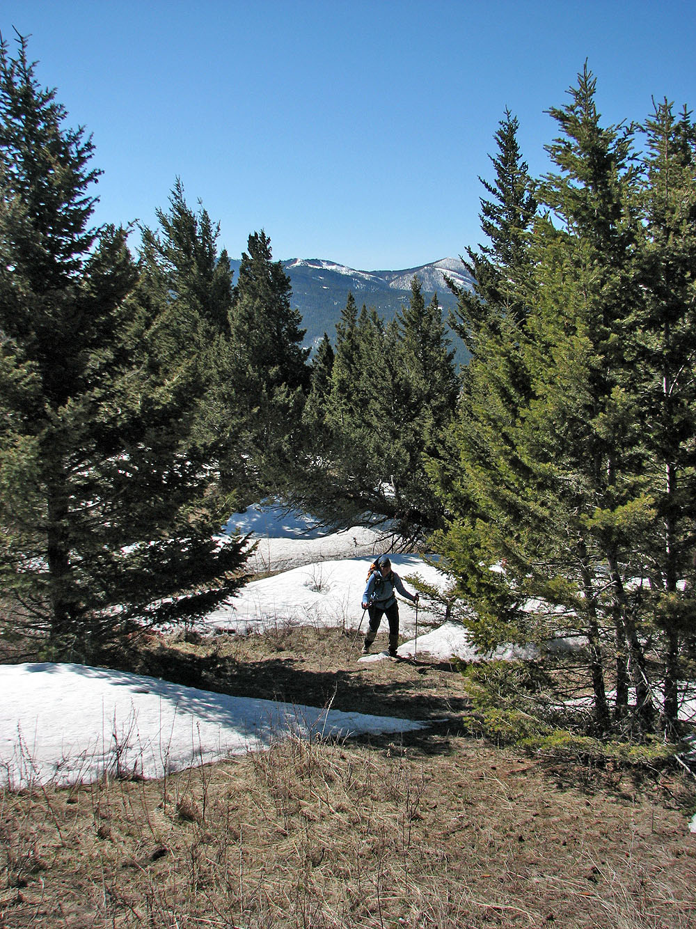
As we climbed, snow patches appear
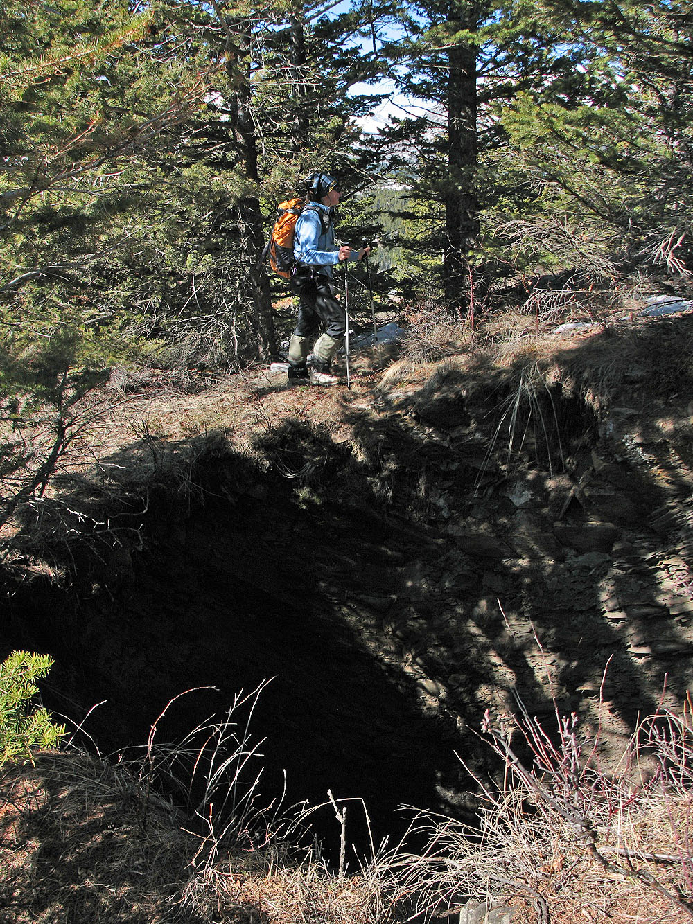
We passed a mine subsidence hole (mouse over to see down it)
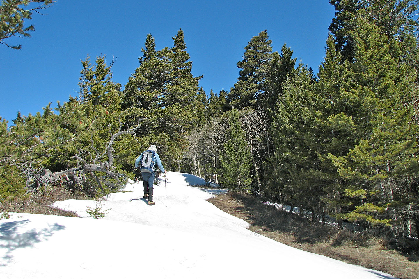
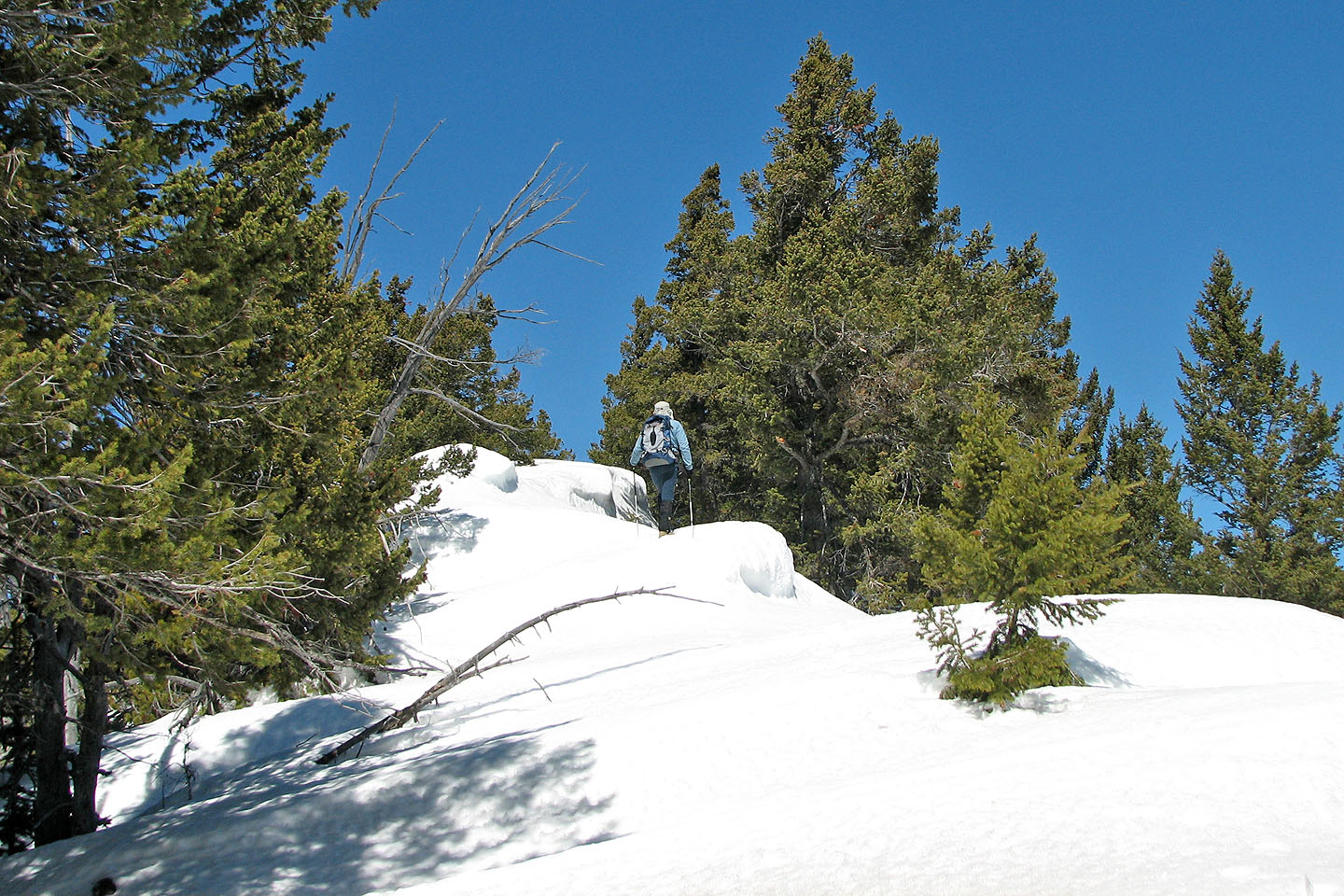
More snow but it's firm
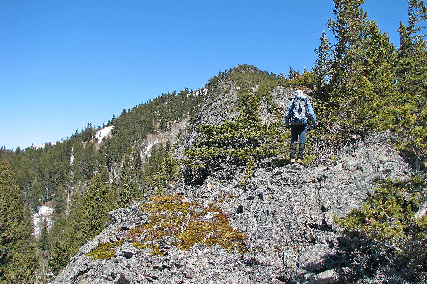
The first false summit appears ahead
Looking back
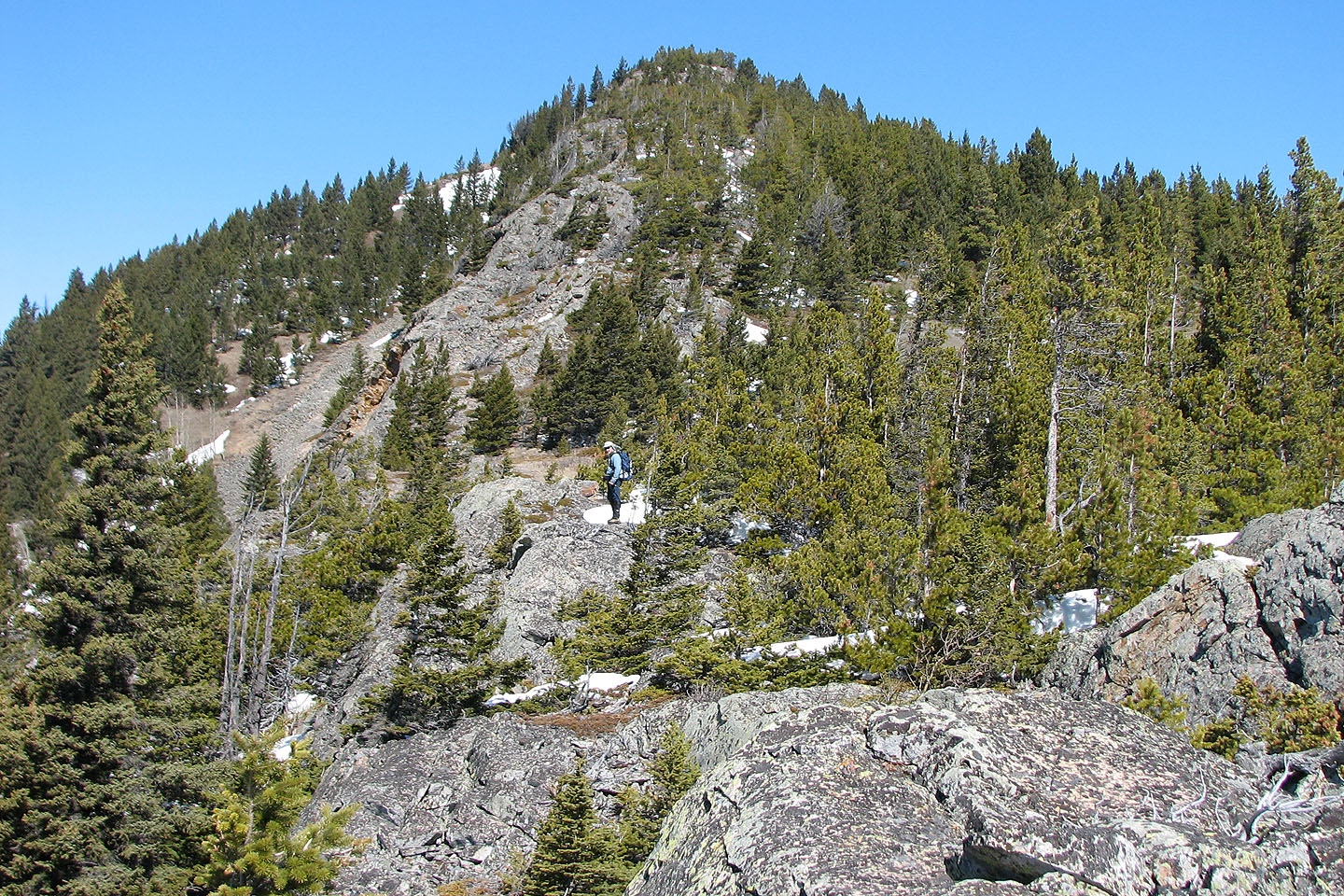
A closer look at the false summit
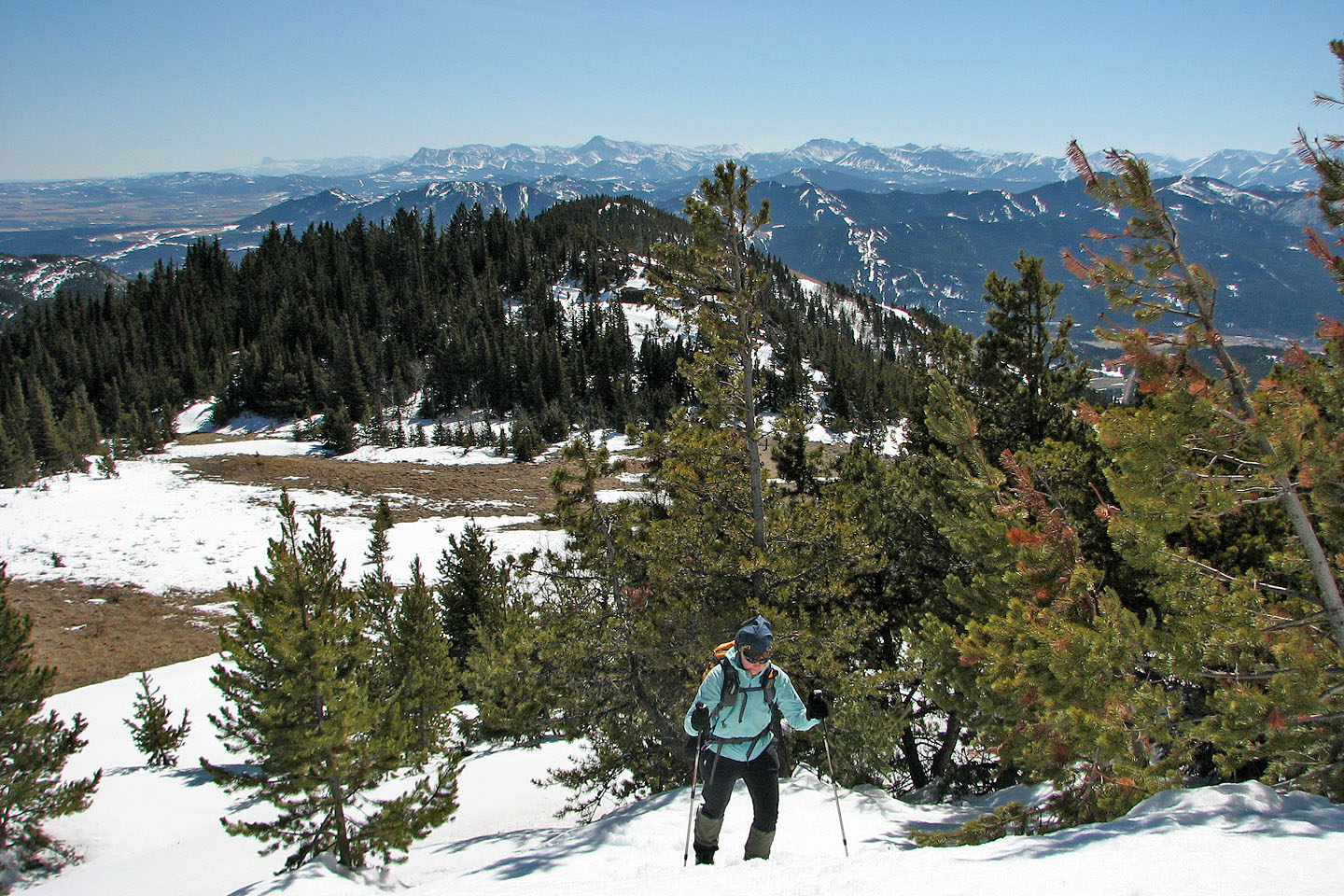
The grade was rather gentle
Dinah follows me up
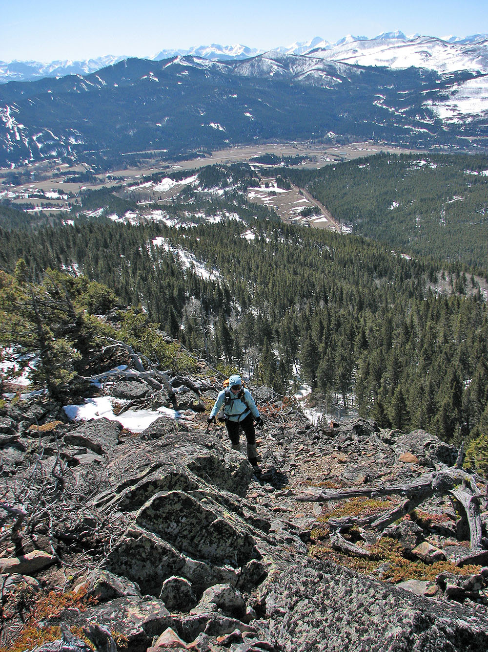
We passed near a precipitous drop
We hit more snow (mouse over to look back)
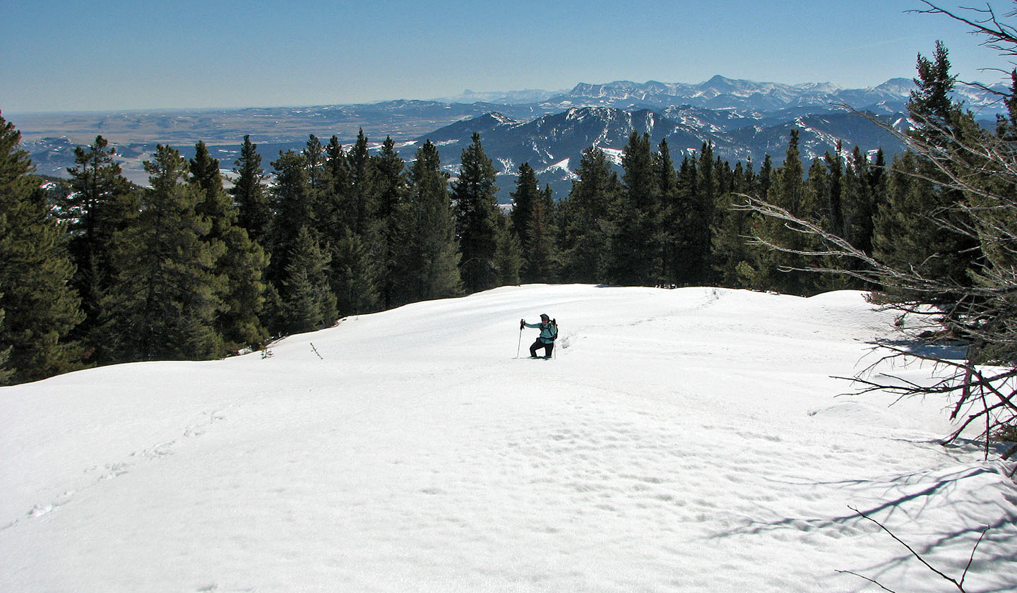
And more snow!
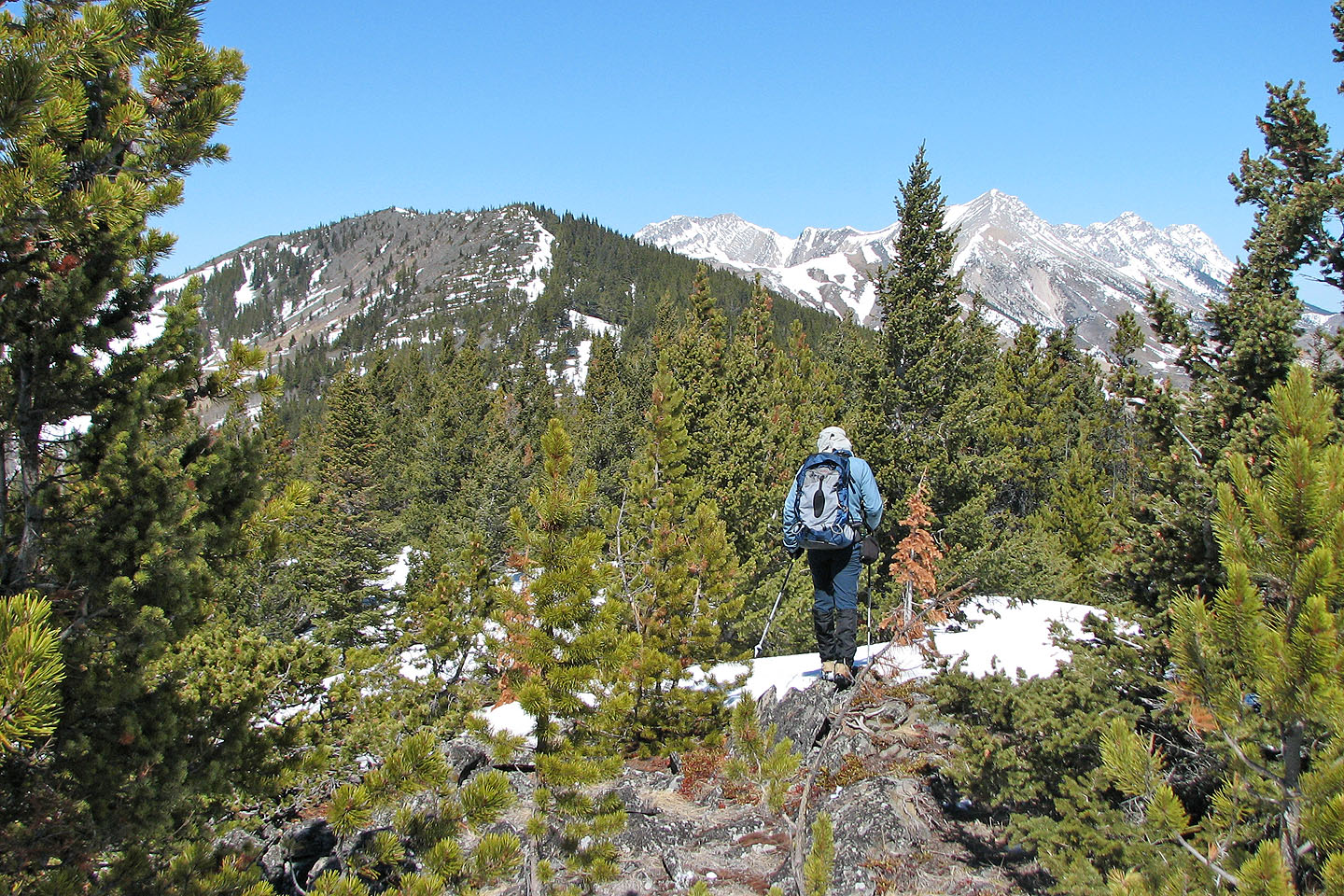
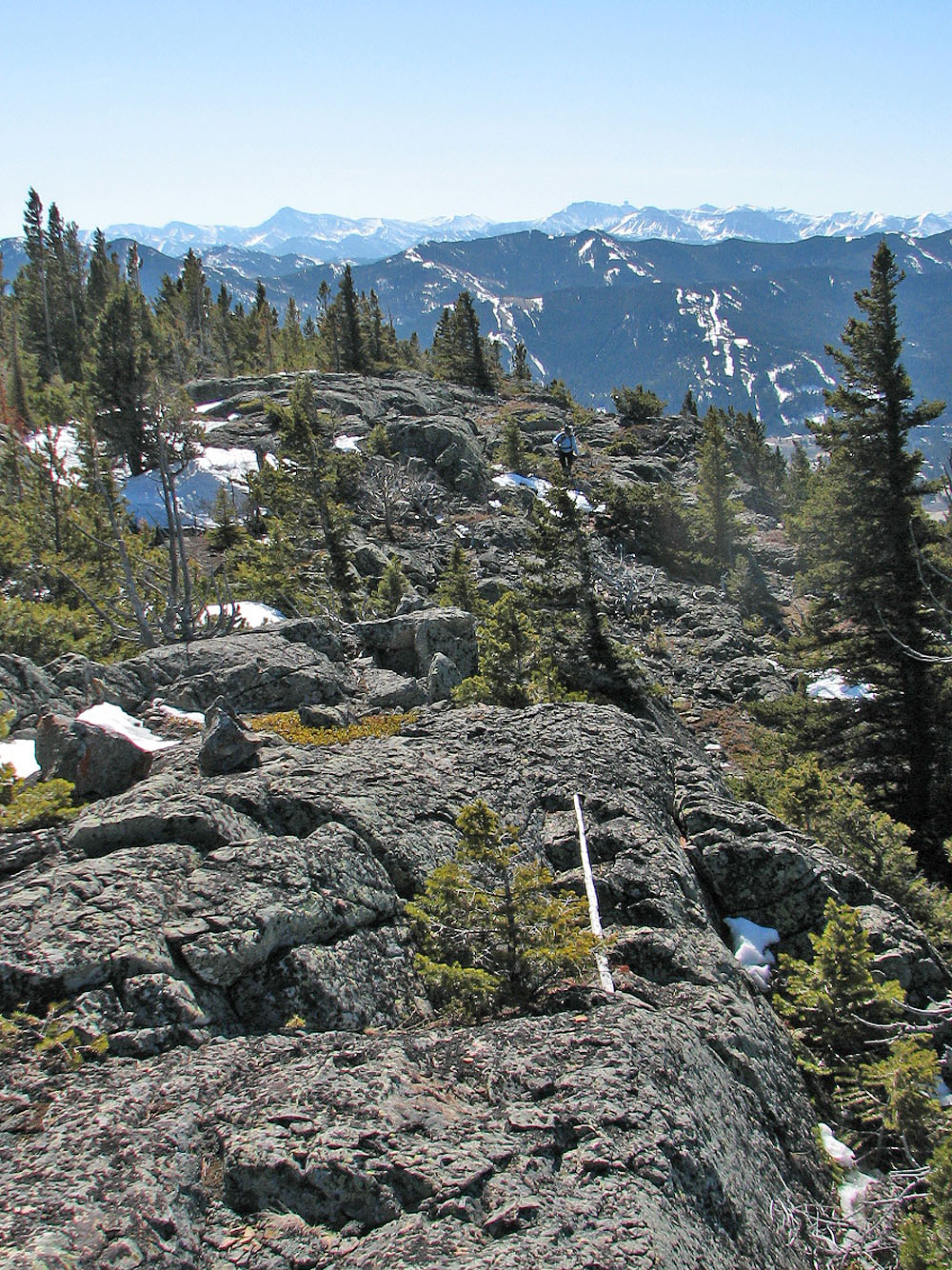
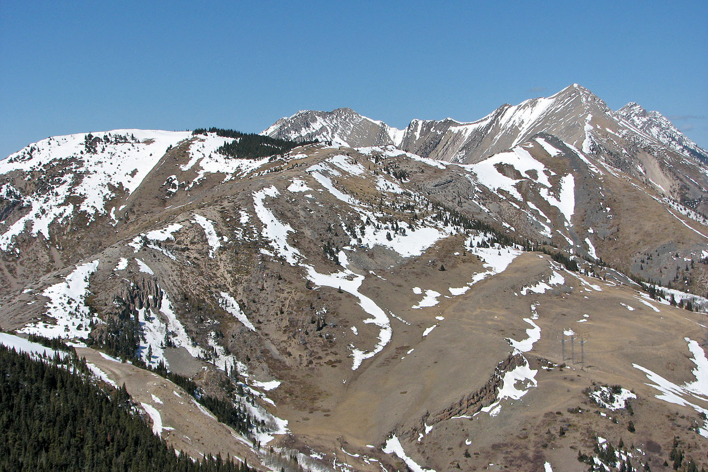
From the first false summit, we saw the final section of the ridge and the true summit on the left

Second false summit ahead
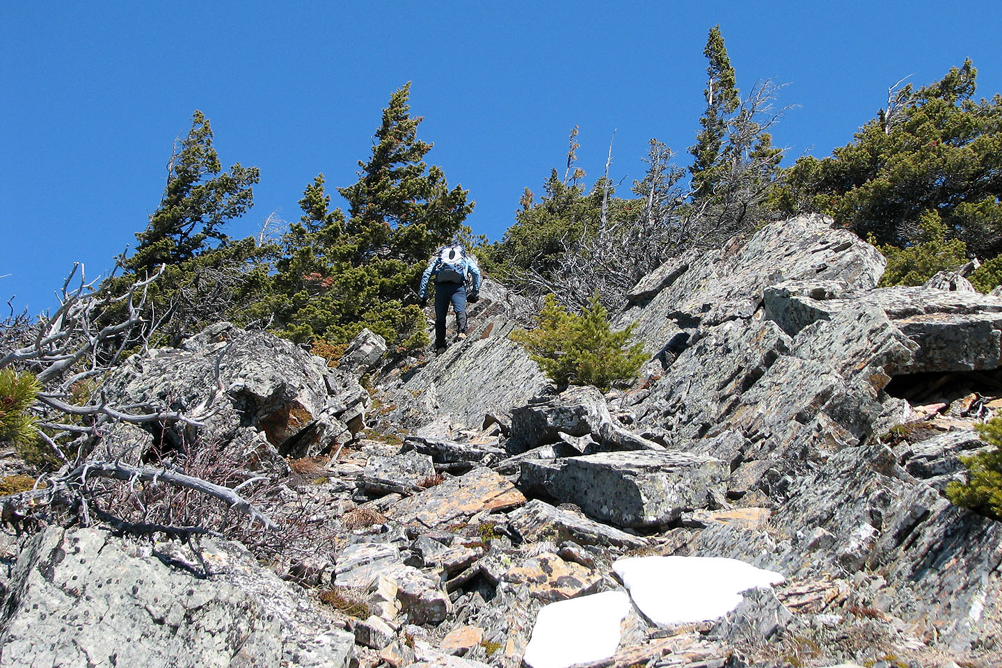
Starting up the second false summit
Reaching the second false summit (mouse over to look back)
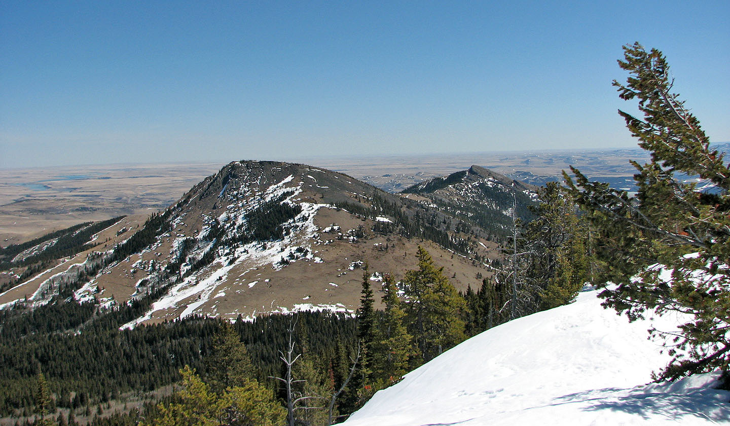
From the second false summit we see the true summit
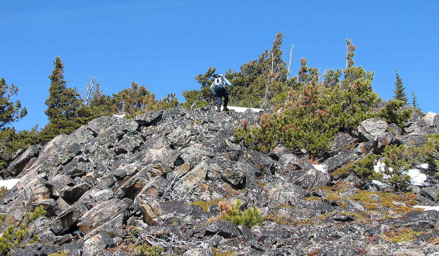
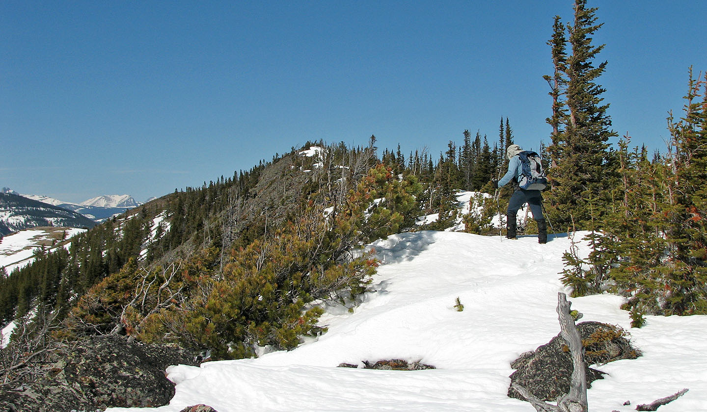
The ridge narrows
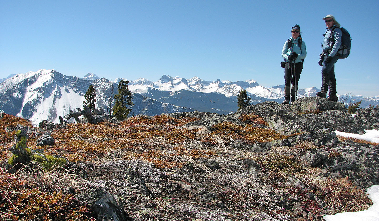
On the summit
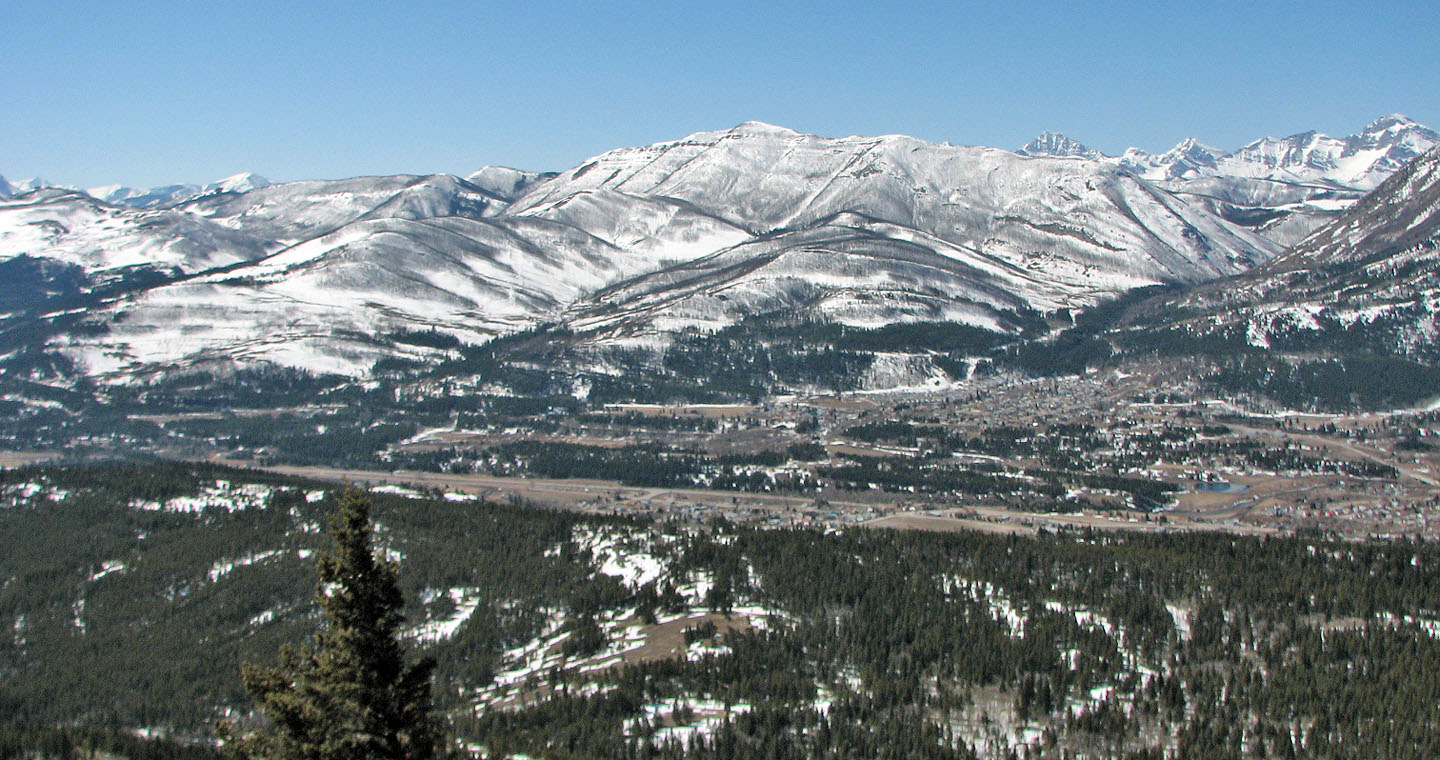
Looking north at Livingstone South Peak
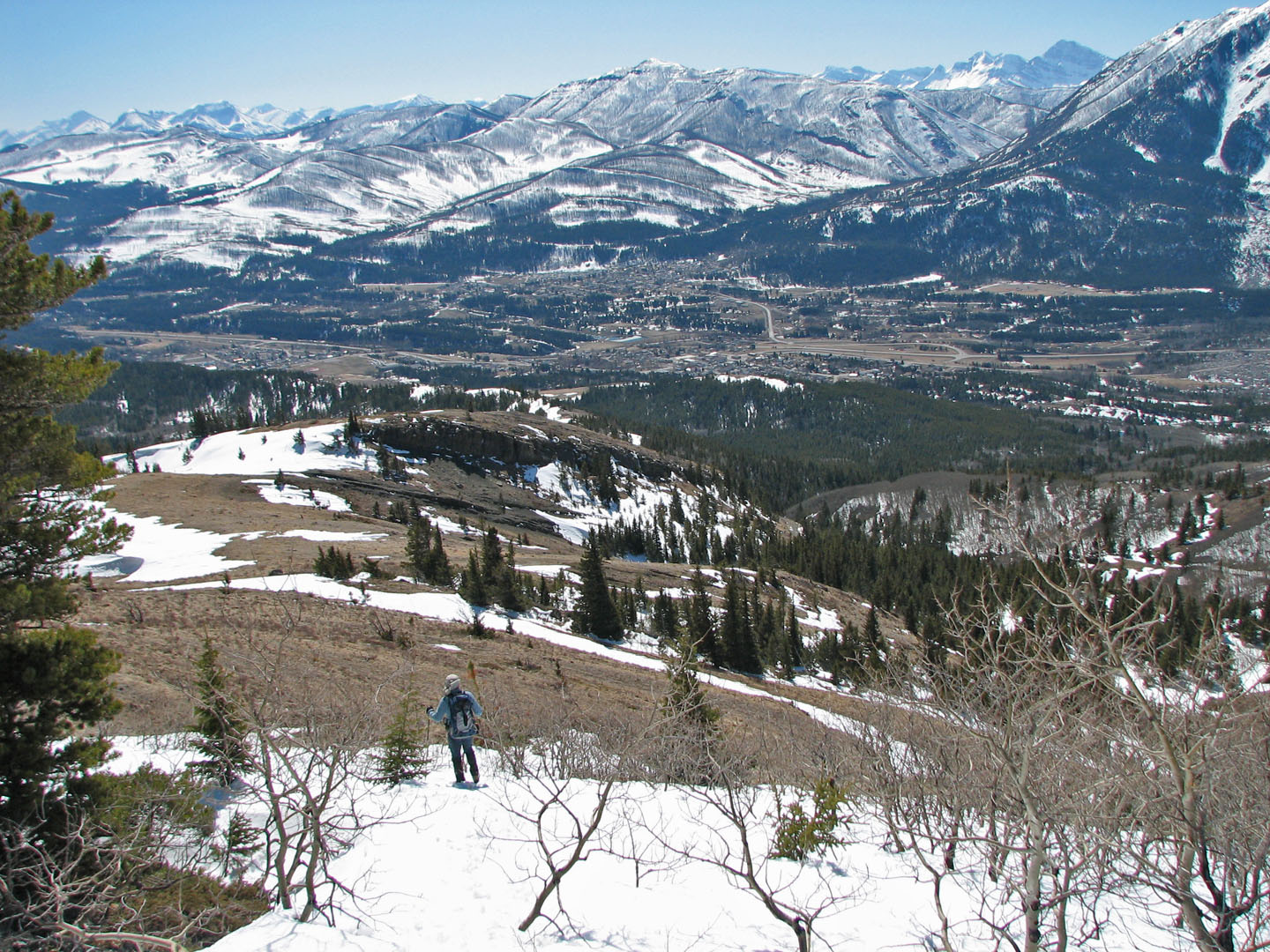
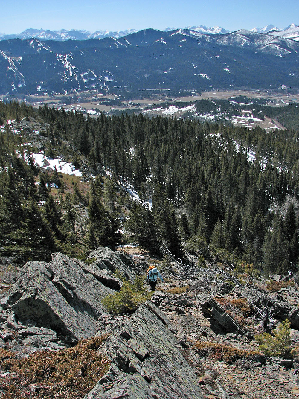
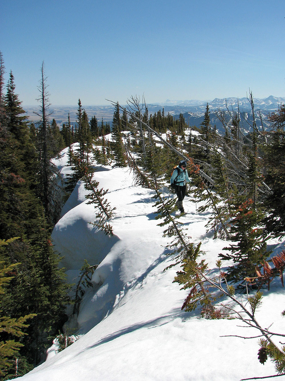
Starting down from the ridge
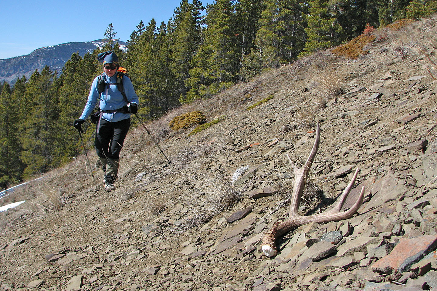
On our way back we came across a deer antler
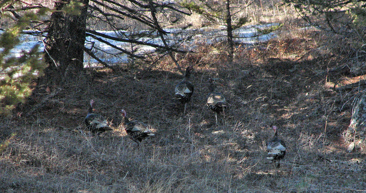
We also saw wild turkeys
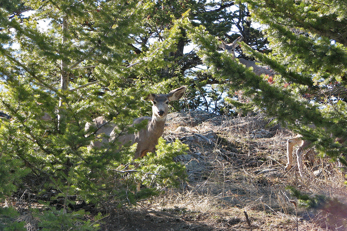
And curious deer
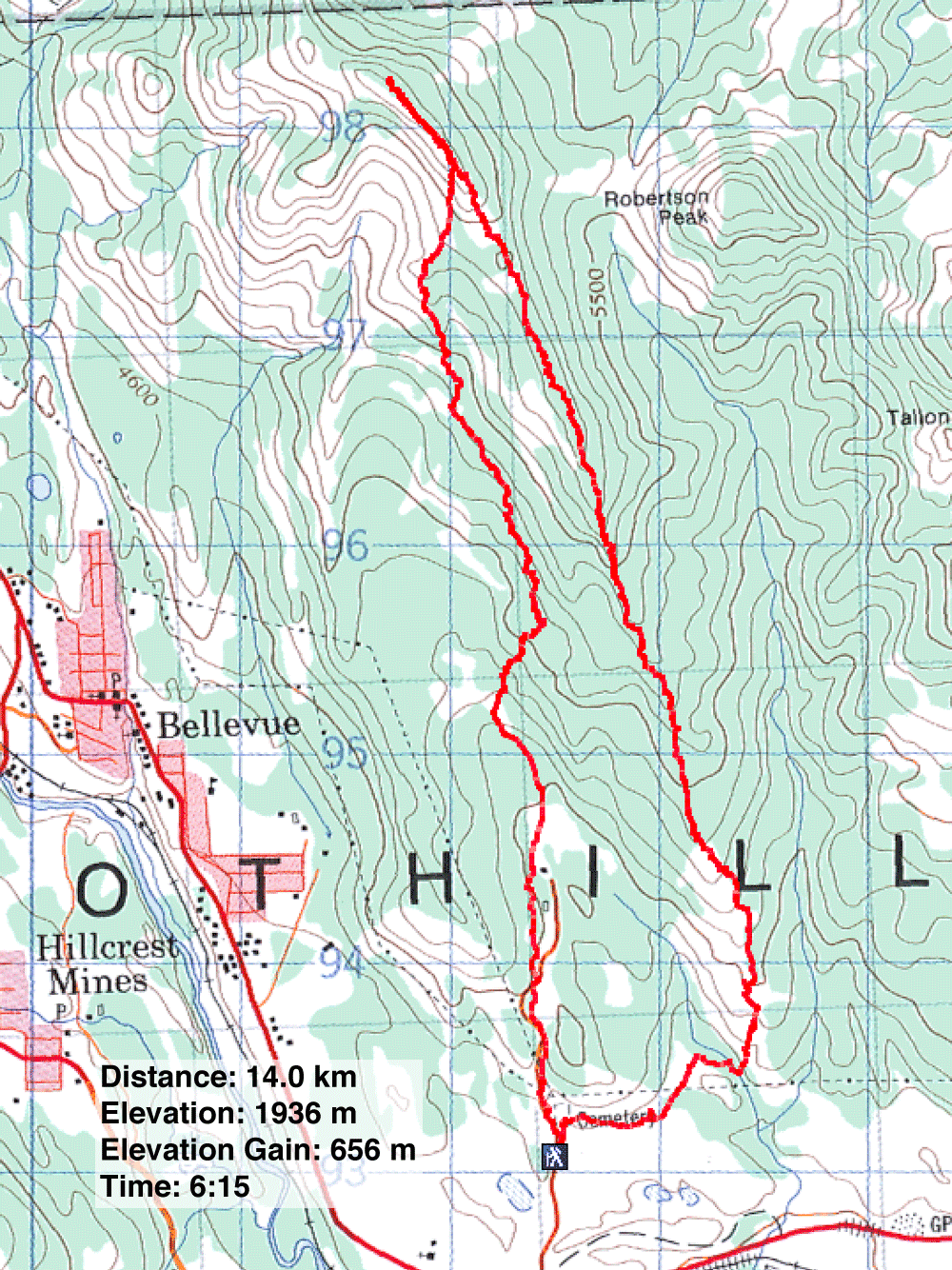
Blairmore 82 G/9