bobspirko.ca | Home | Canada Trips | US Trips | Hiking | Snowshoeing | MAP | About
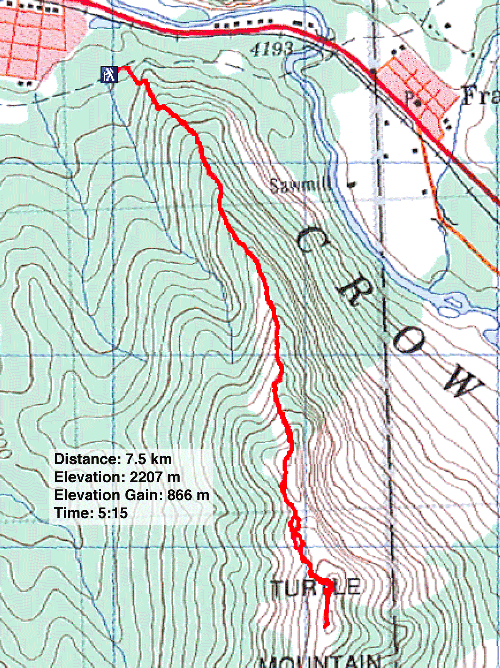
Turtle Mountain
Crowsnest Pass, Alberta
July 10, 2010
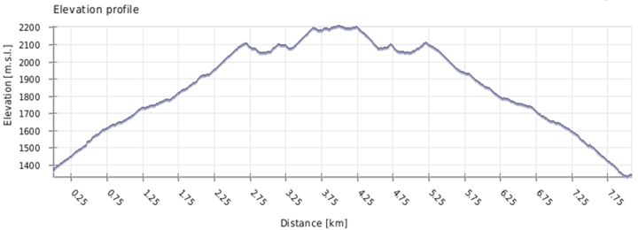
Distance: 7.5 km (4.7 mi)
Cumulative Elevation Gain: 1006 m (3301 ft)
When we drove to Crowsnest Pass, Dinah had our sights set on climbing a new peak, but when my car nearly became mired in mud on Allison Creek Road, we turned back. Mindful of thunderstorms expected late in the day, we hurriedly climbed the familiar Turtle Mountain.
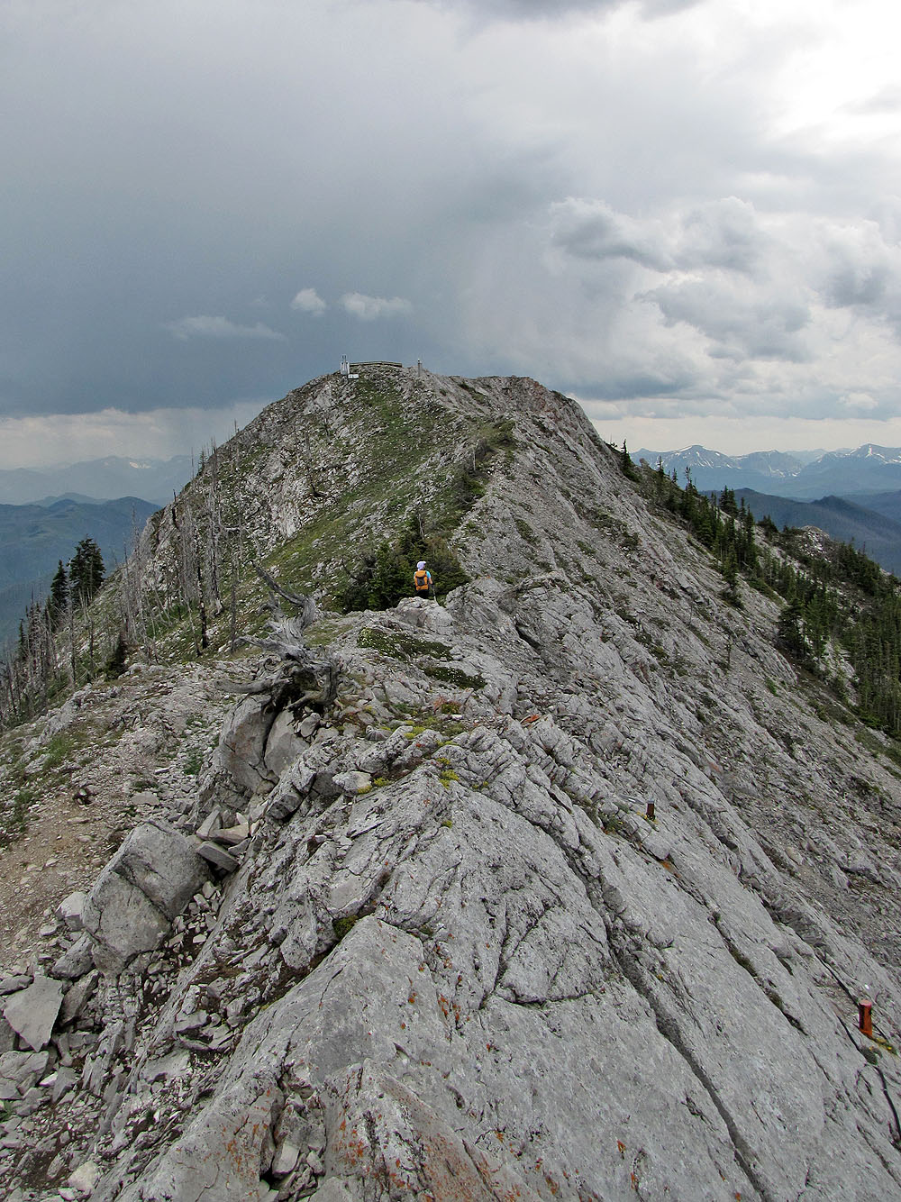
Turtle Mountain remains much the same as when we climbed it in 2002. A good trail follows the north ridge to the first summit, but few trails lead to the second. Unfortunately, a helipad, solar panels and other equipment now mar the second and highest summit.
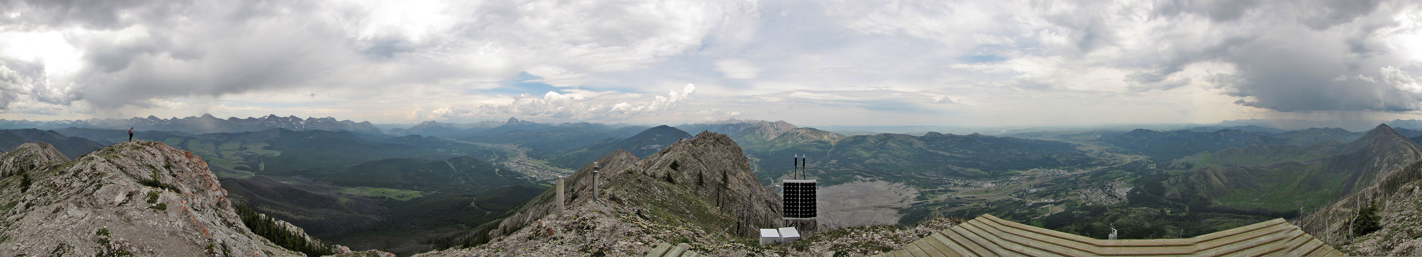
Just before we reached the second summit, we heard the boom of distant thunder. But we saw no nearby threatening clouds, so we continued to the top. From the summit we observed a storm that had passed well south of us.
As we started back, we watched another storm sweep over peaks to the north, including the one we had intended to climb. But after missing two storms, Turtle Mountain wasn't not spared. When we reached the car, it began to rain and thunder. As we drove away, Dinah looked back to see lightning illuminate Turtle Mountain.
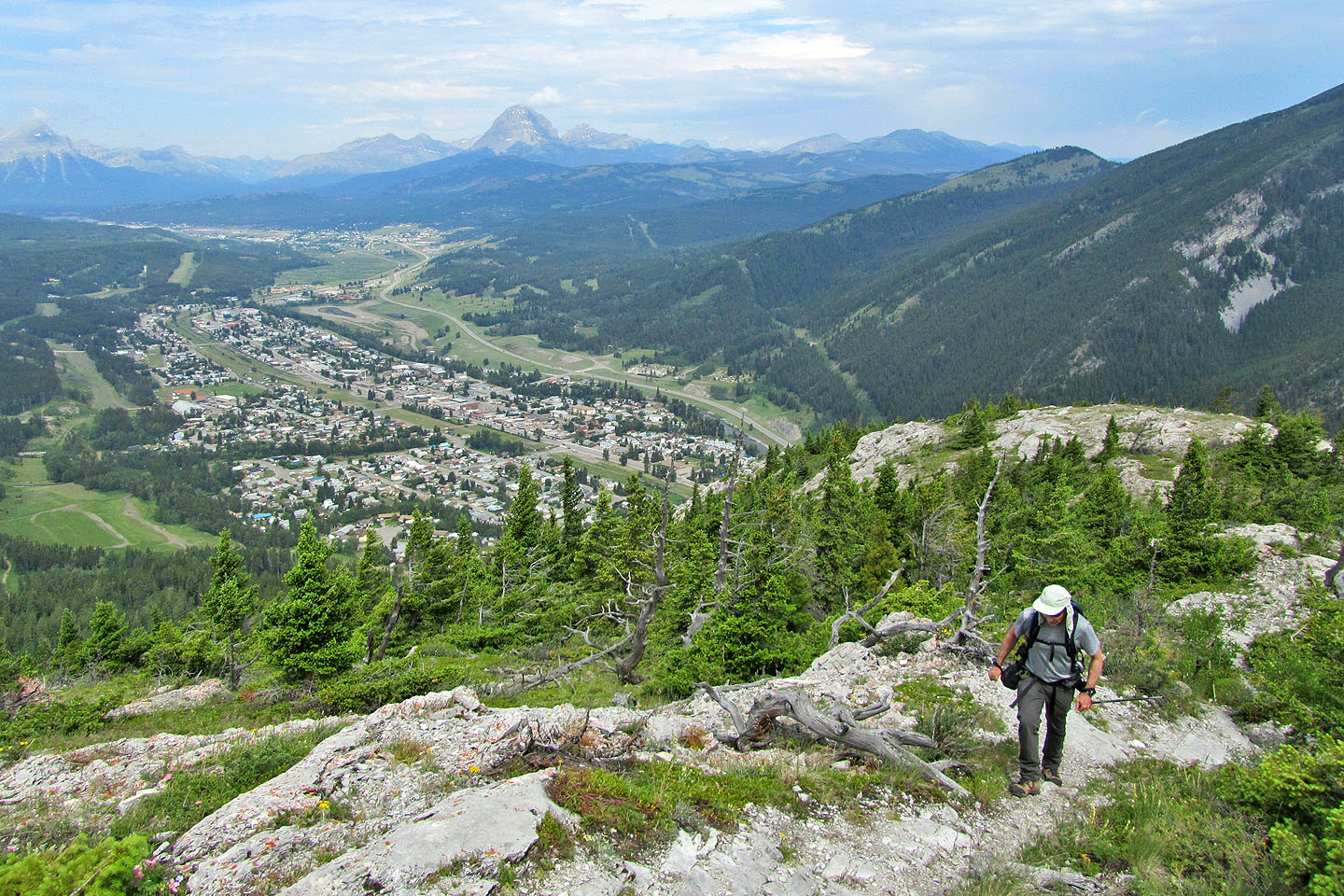
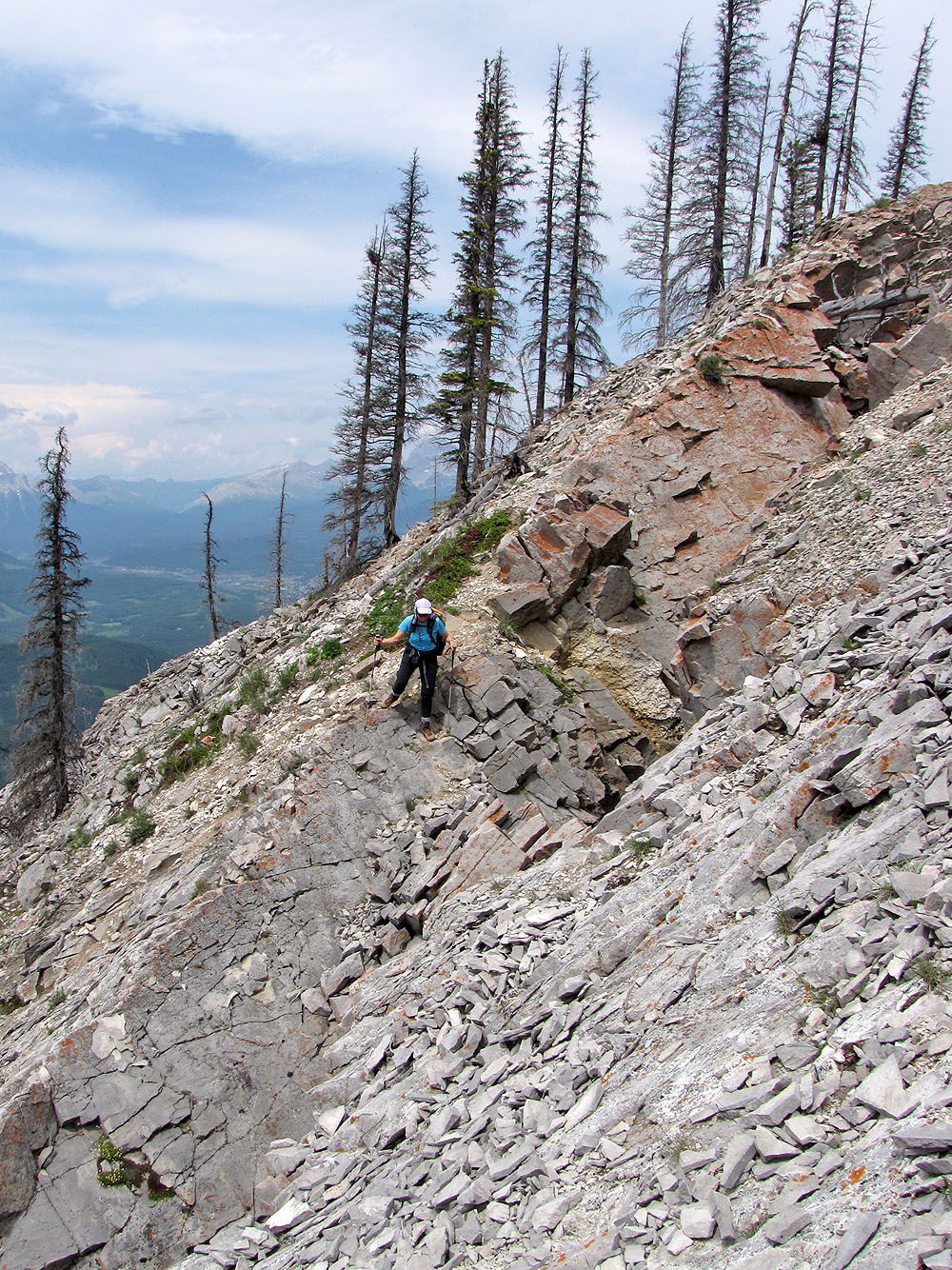
Climbing high above the town of Blairmore
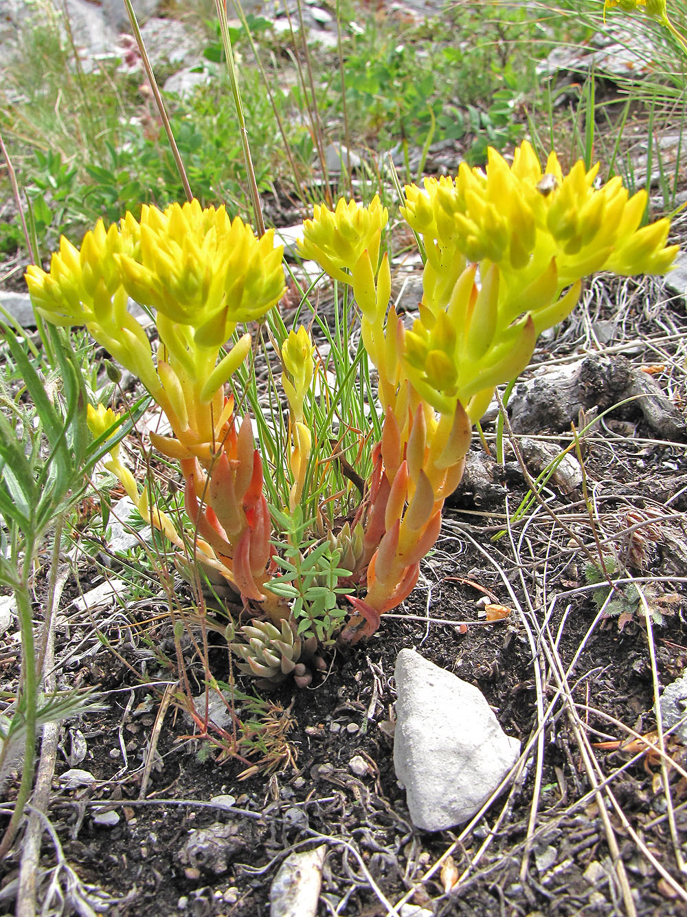
Stonecrop
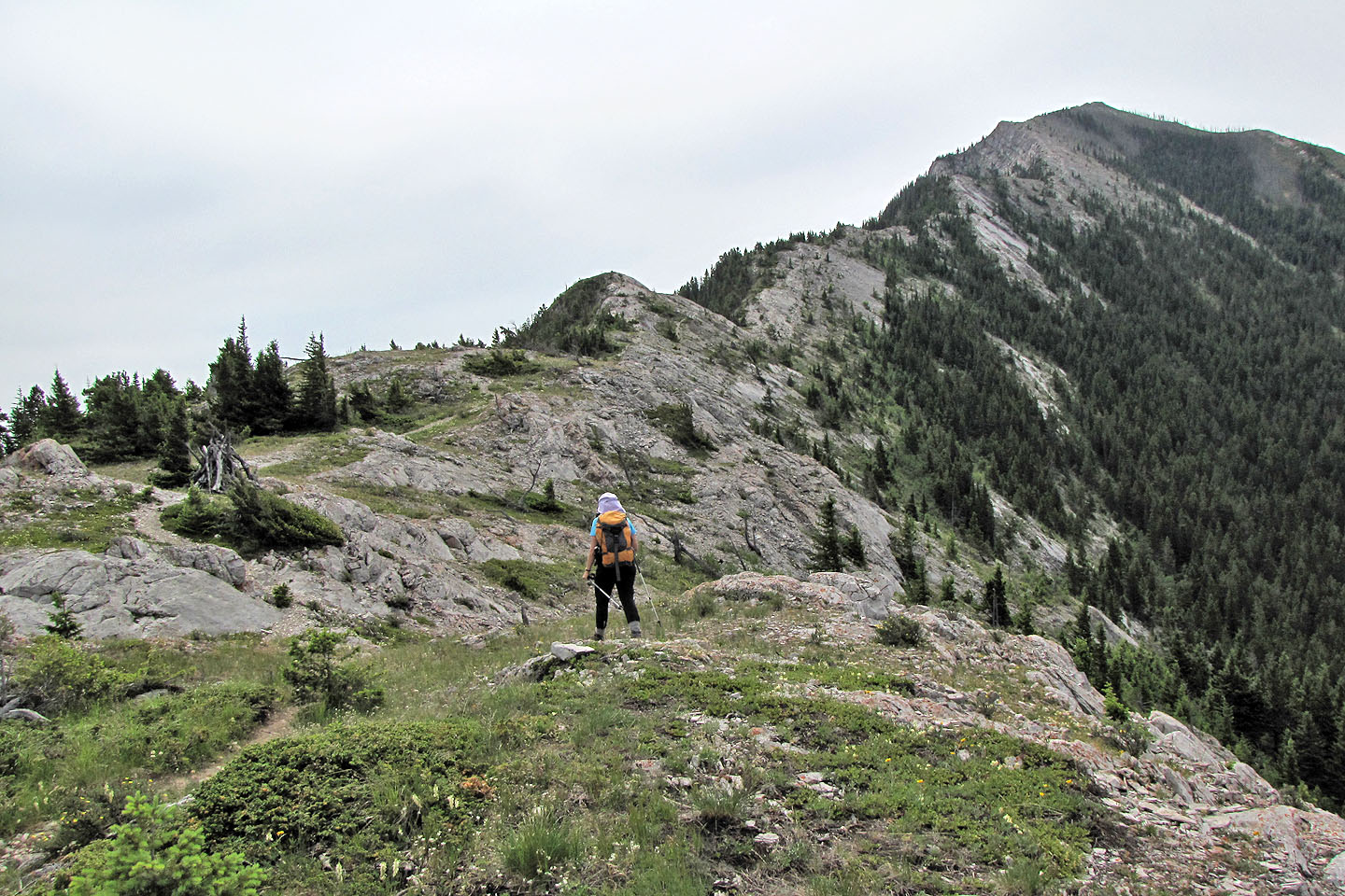
First summit ahead
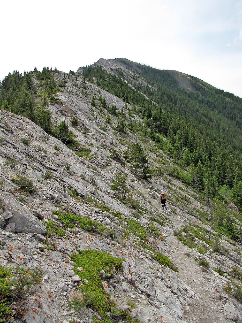
The trail winds below the ridge
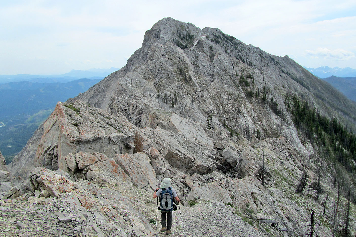
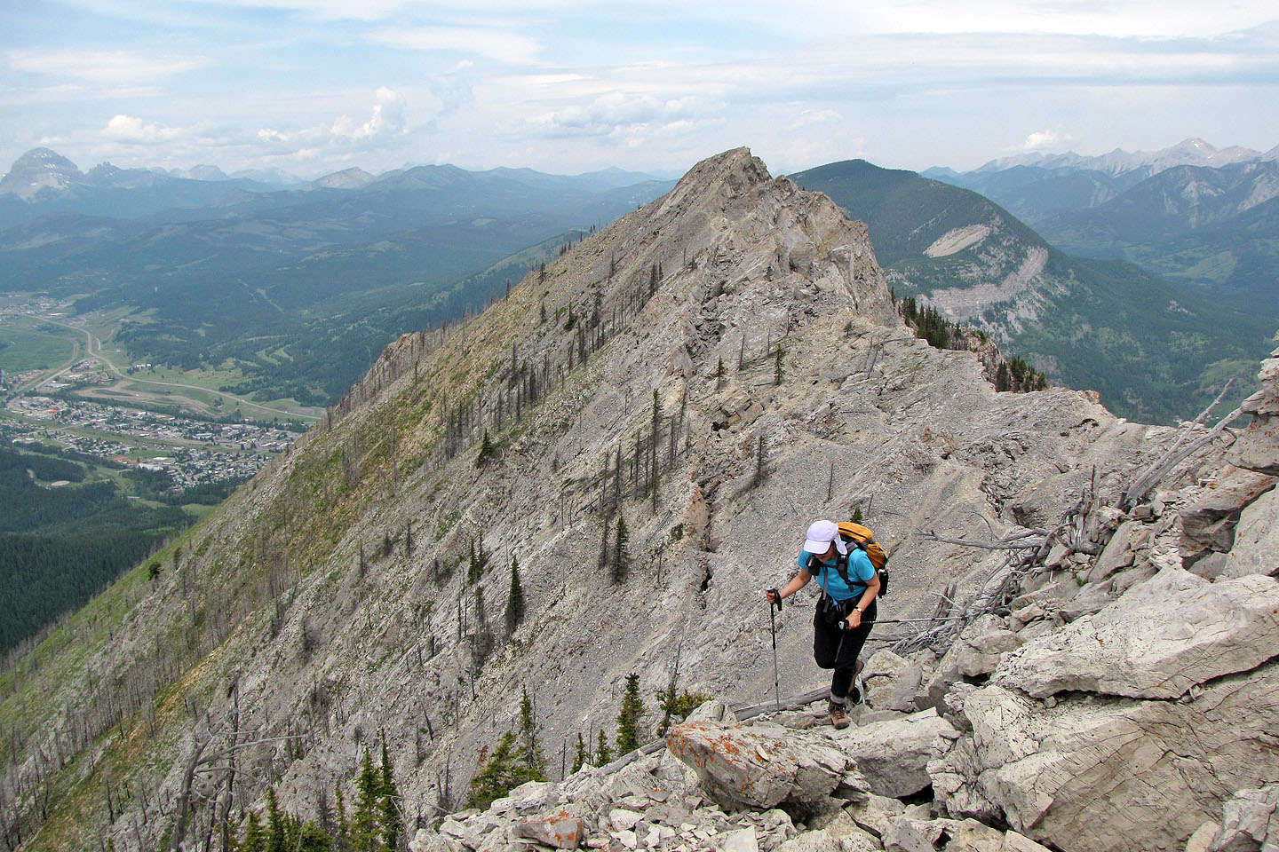
Second summit ahead
We'll lose elevation on our way to the second summit
Dinah prepares to cross rocks bridging a fissure
Looking back at the first peak
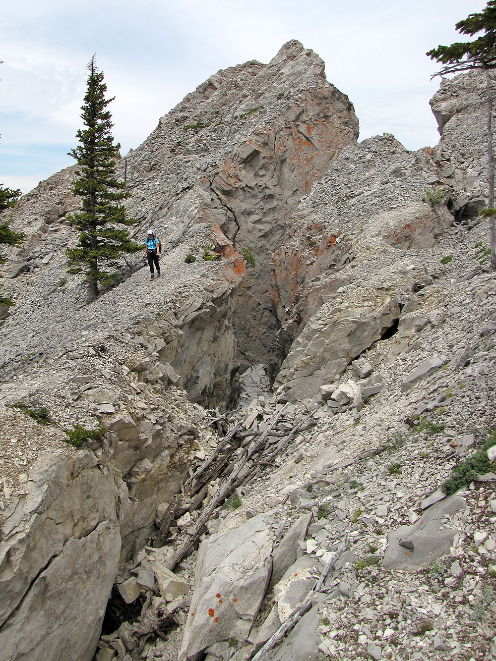
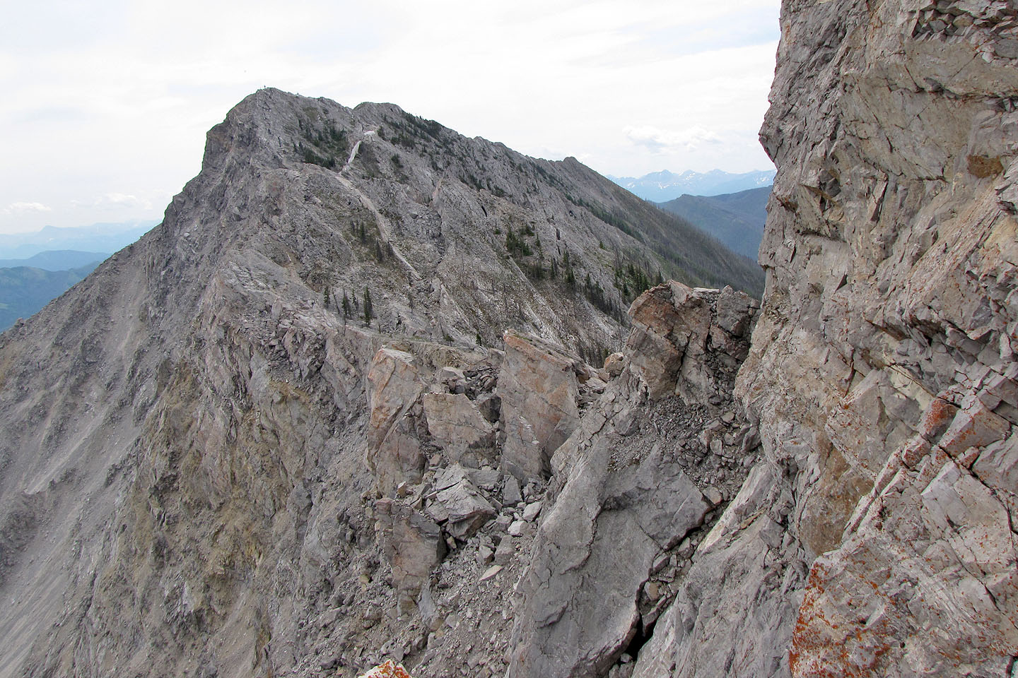
Another fissure
We worked our across slopes full of loose rock
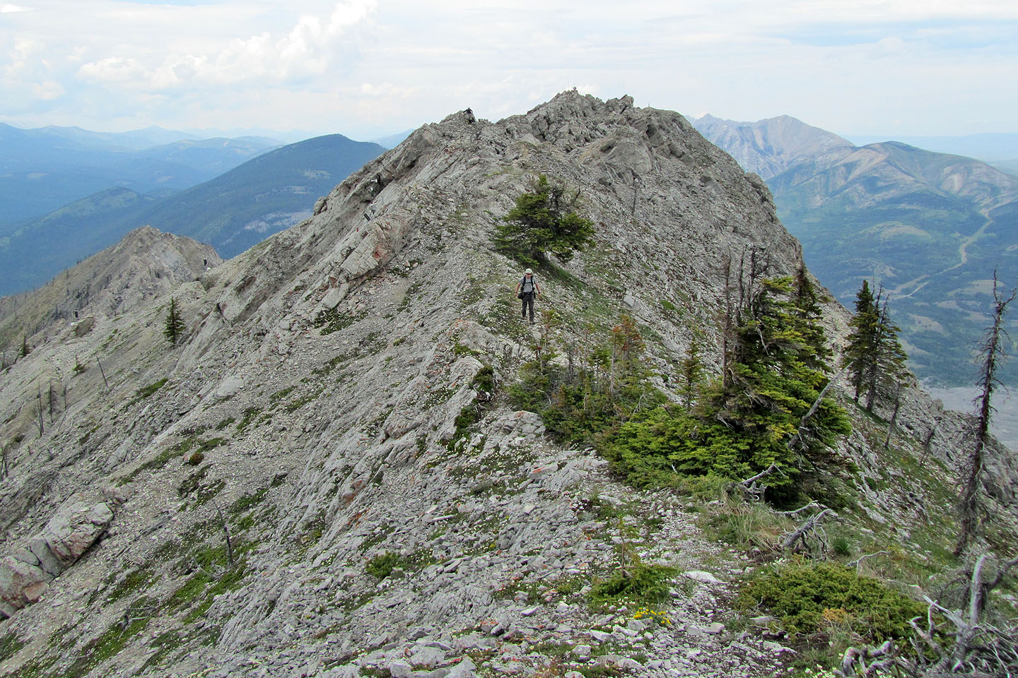
Second summit ahead
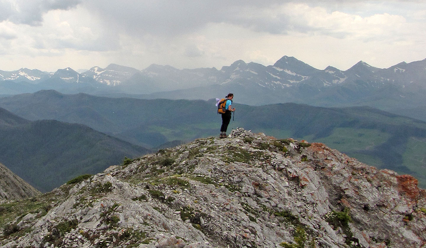
Dinah stands by the summit cairn
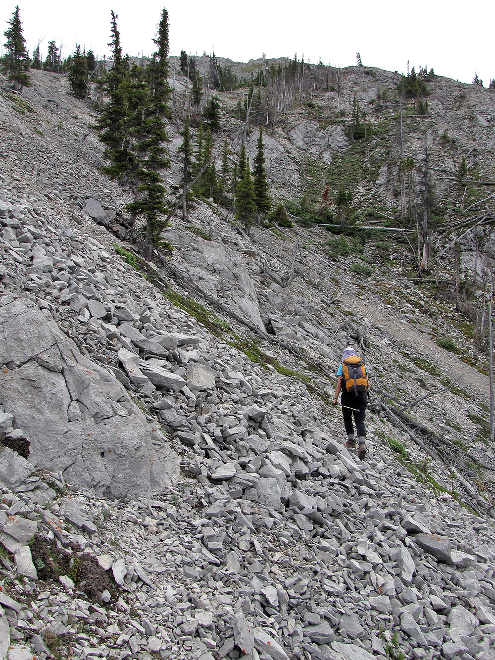
Heading down from the summit
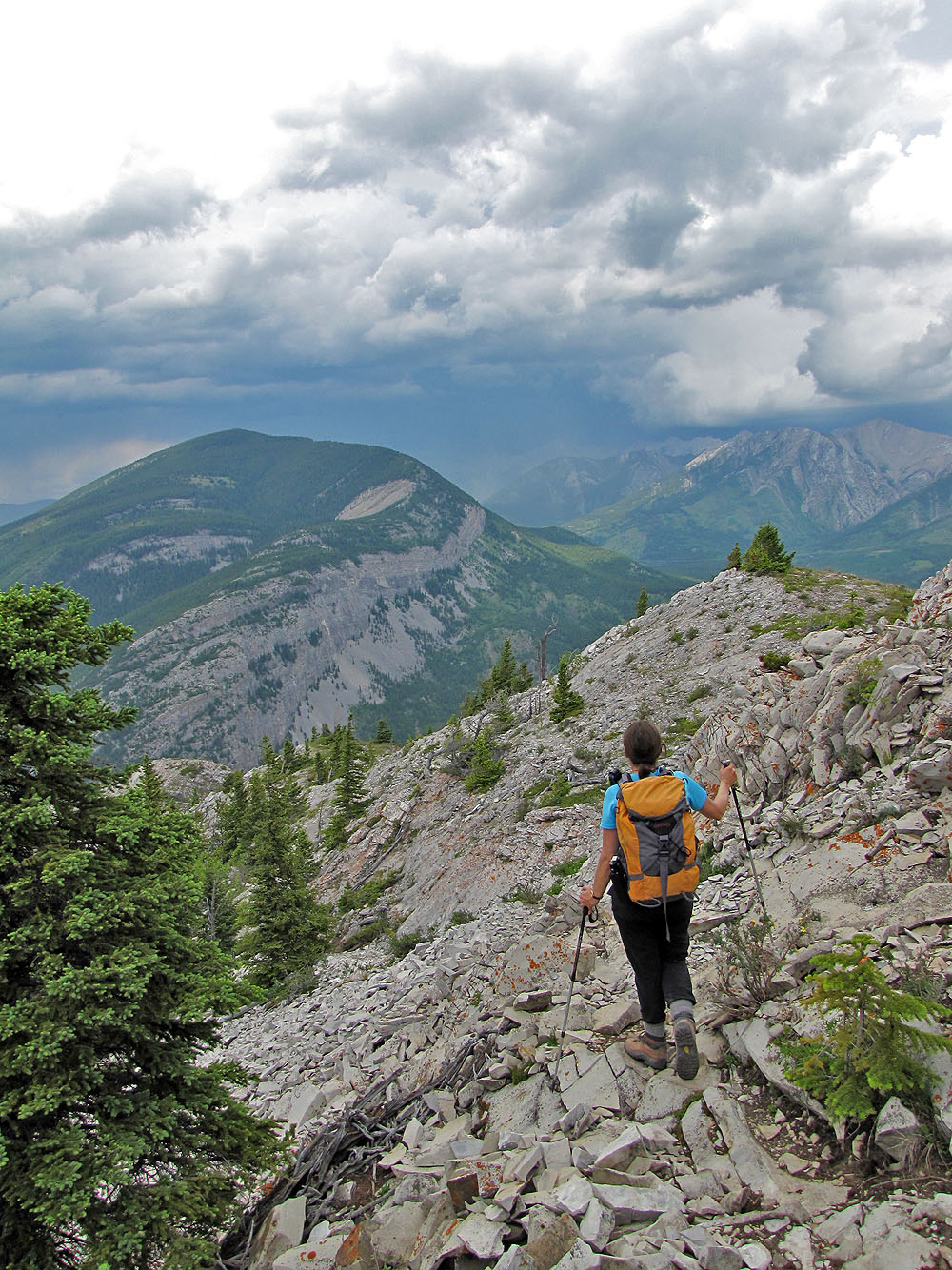
As we headed back, we watched another storm come in
82 G/9 Blairmore