bobspirko.ca | Home | Canada Trips | US Trips | Hiking | Snowshoeing | MAP | About
Opal Ridge South Peak
Kananaskis, Alberta
June 27, 2015
Distance: 7.2 km (4.5 mi)
Cumulative Elevation Gain: 1080 m (3543 ft)
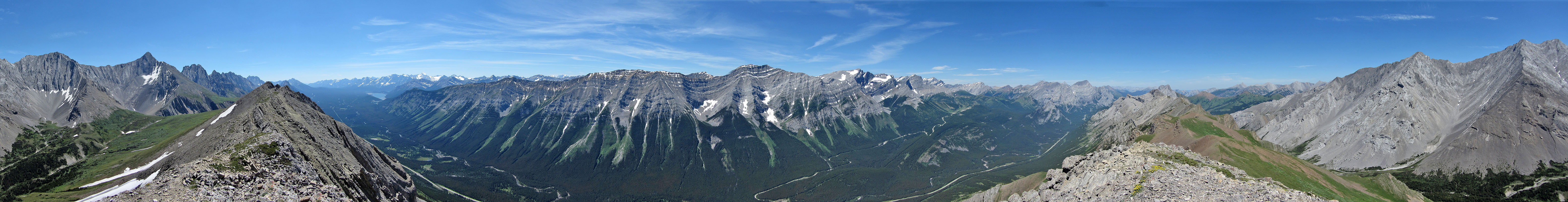
Spanning a relatively short distance, the trail to the peak at the south end of Opal Ridge provides a stiff climb with little respite. For added toil, the ridge throws in a generous dose of loose rock to stumble over. But the effort takes you 1000 m above the trailhead, lofty enough to make it worthwhile for the far-ranging views.
Dinah and I have hiked the South Peak a few times, but always off-season, always blanketed with snow. This time, being summer, we found the slopes verdant with grass and trees, vibrant with wildflowers, and the gray rocks bare and dry.
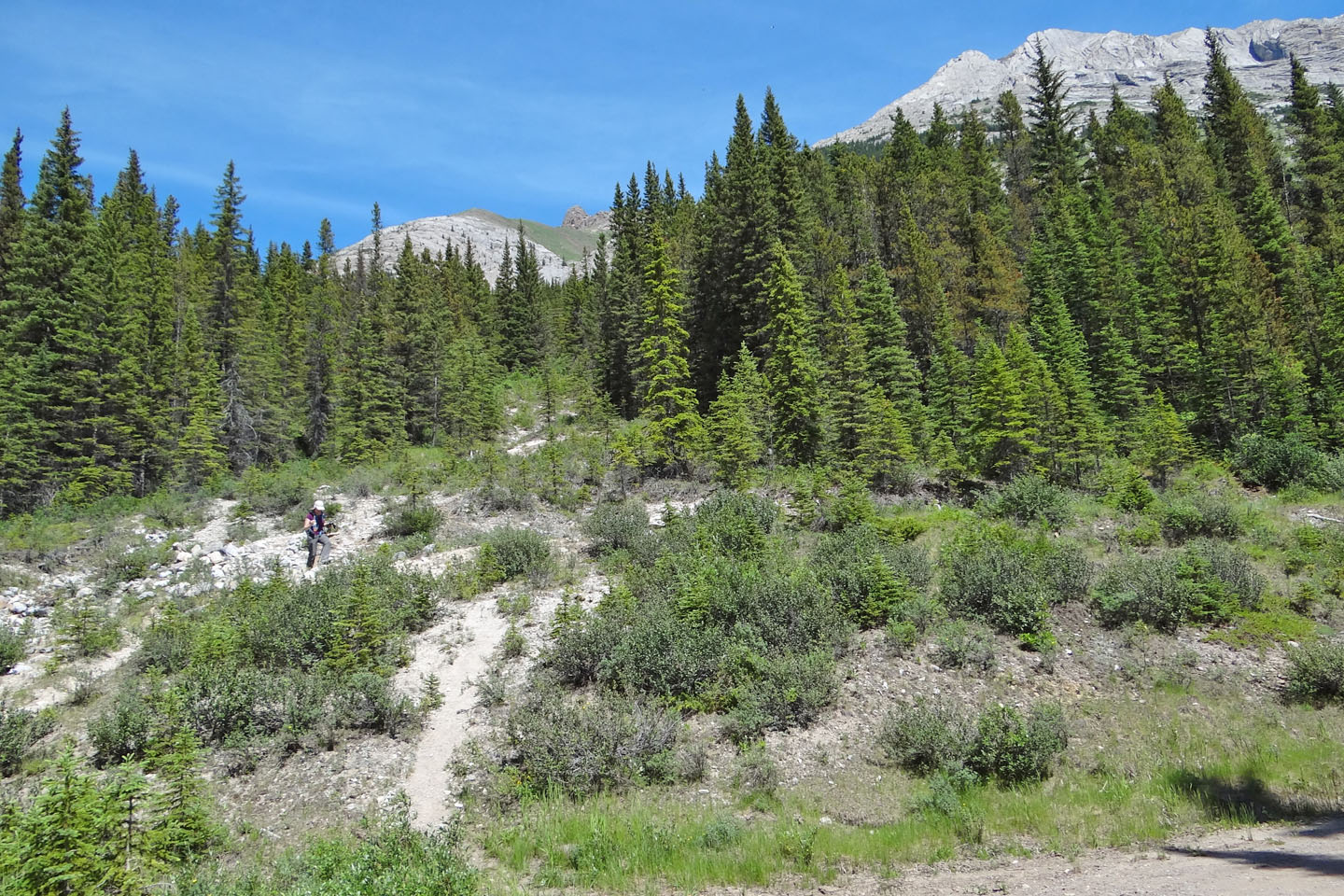
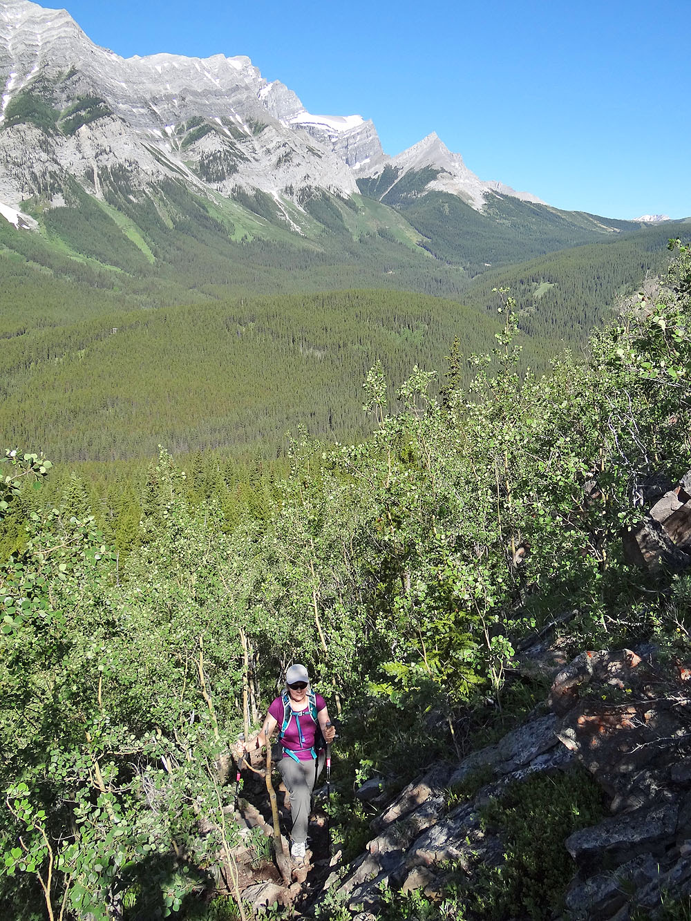
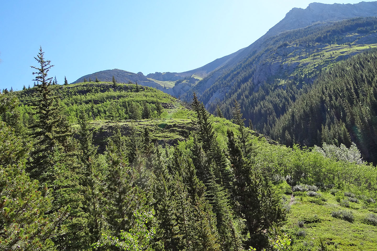
We parked at the Fortress gas station and hiked a short distance up to the power-line road. A few minutes of trudging down the road brought us to an obvious junction just after a creek. Marked with logs, cairns, and flagging, the turn-off cannot be missed. We followed the trail up the steep slope, often branching only to rejoin later, up through trees and clearings, up solid and loose rock, up to the “gates,” a break in towering cliffs. By this time, the trail settles down to a single track – no more forks – all the way to the summit. The last trail section is a delightful ridgewalk. I can say from experience that the South Peak of Opal is as enjoyable in the summer as it is in the winter!
View from the trailhead: the trail climbs the ridge on the left. Summit is right.
Starting up the trail after leaving the power-line road
The trail winds in and out of trees on the lower section of the ridge
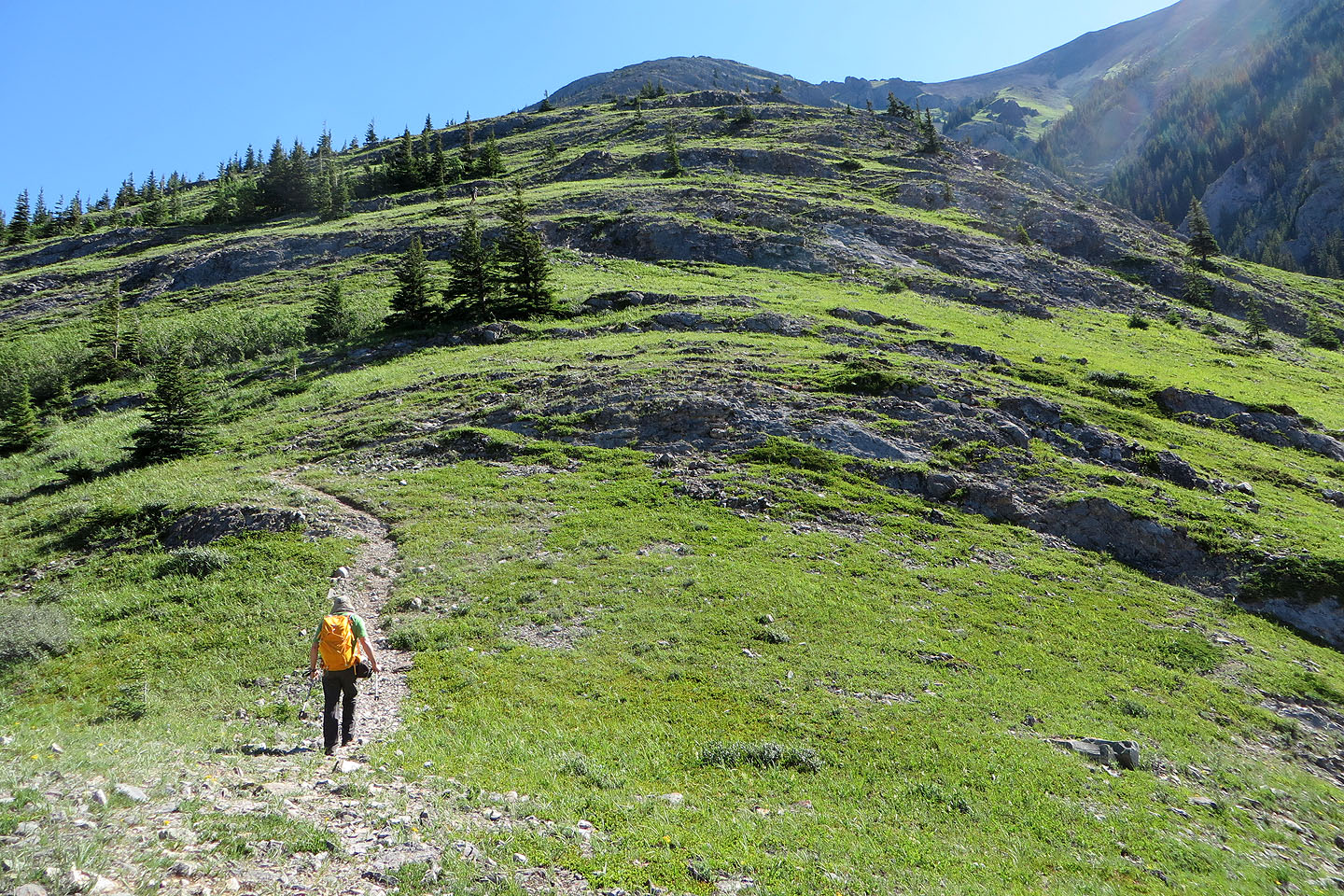
The trail emerges from the forest onto an open slope
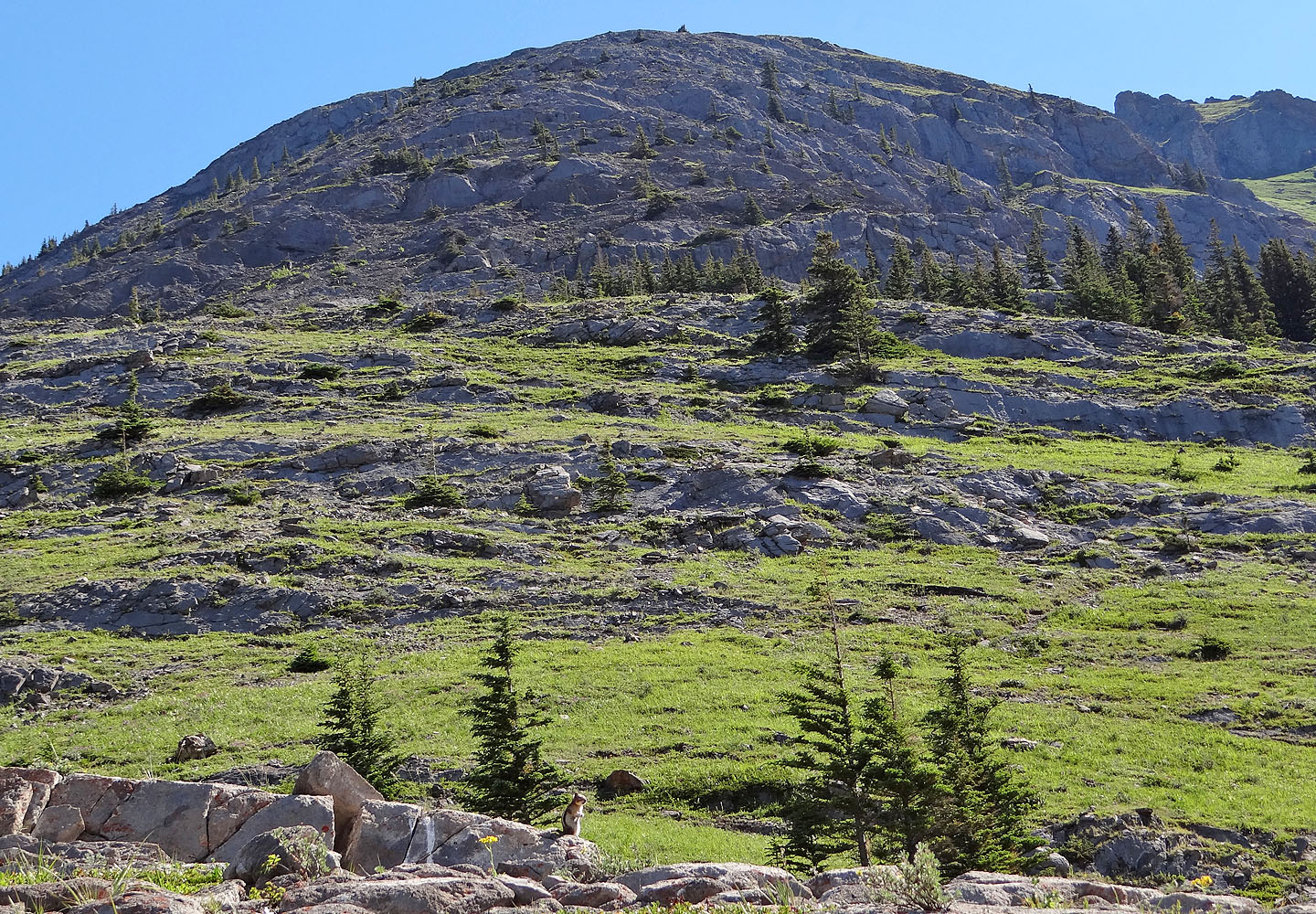
A golden-mantled ground
squirrel (centre, bottom) chirped a warning (mouse over for a close-up)
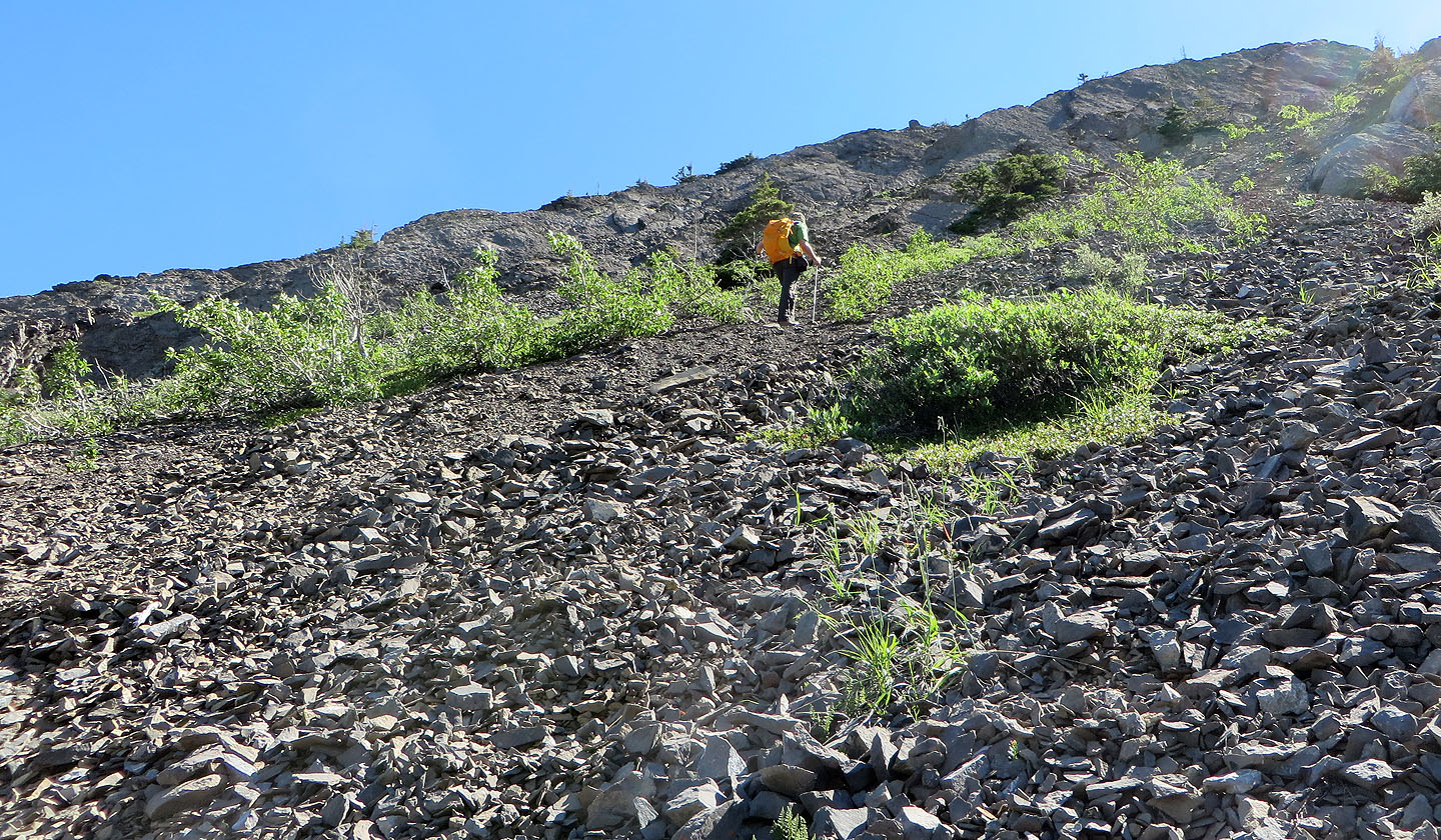
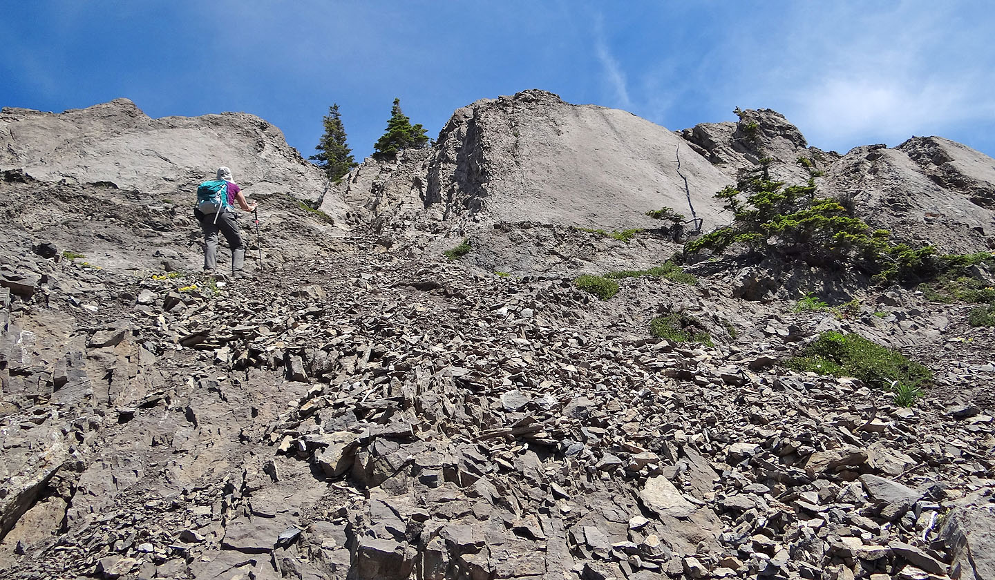
There is a considerable amount of scree on the lower slopes
Mount Lawson fills the background
The trail forks – ahead up a crack or right, along a ledge – only to rejoin above. Either way
requires a bit of scrambling.
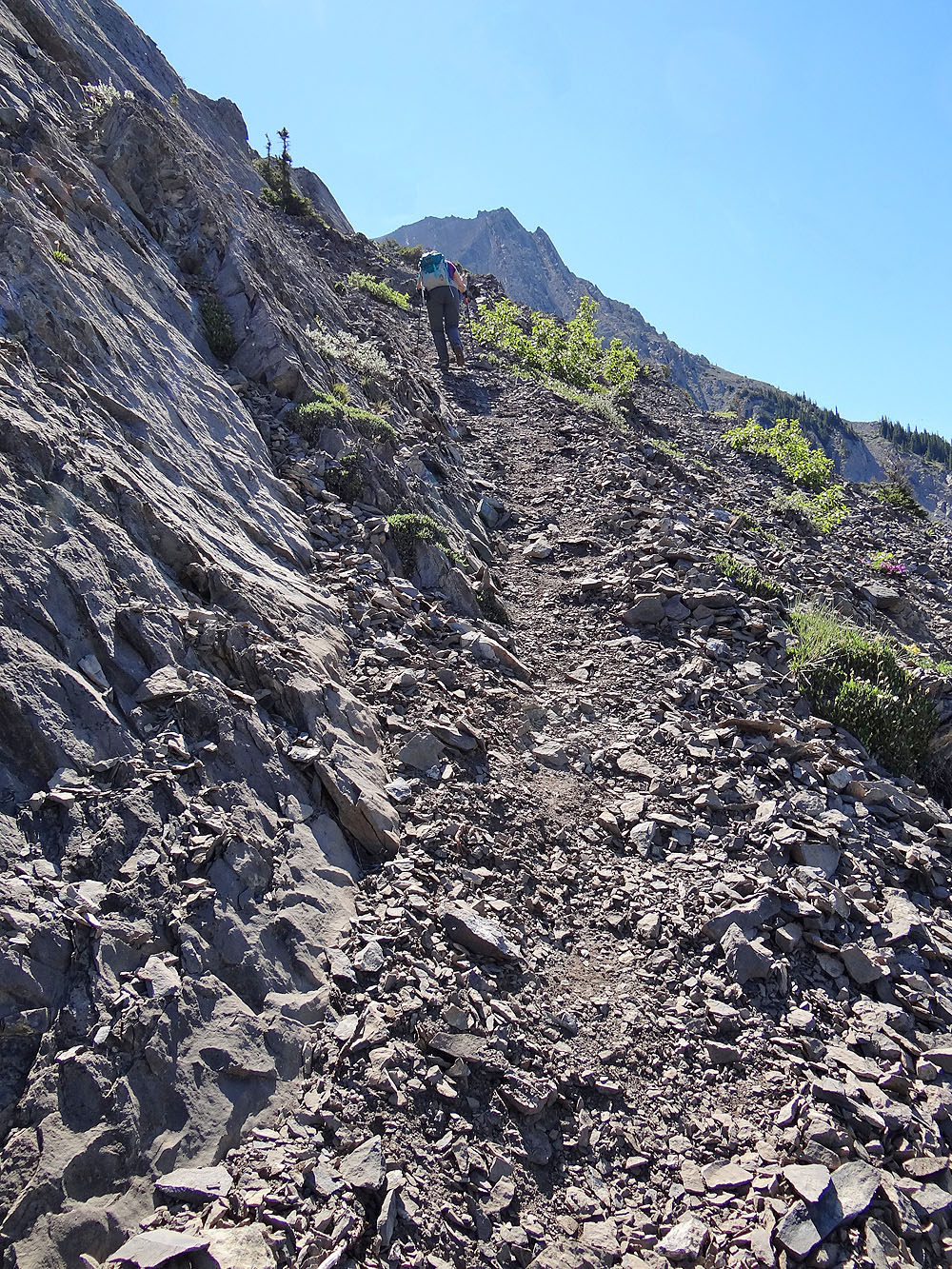
At another branch, we ascended a trail that hugged the base of a cliff band,
only to take a completely different trail on the descent
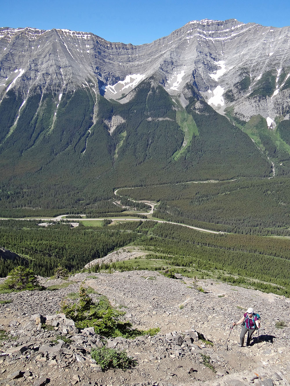
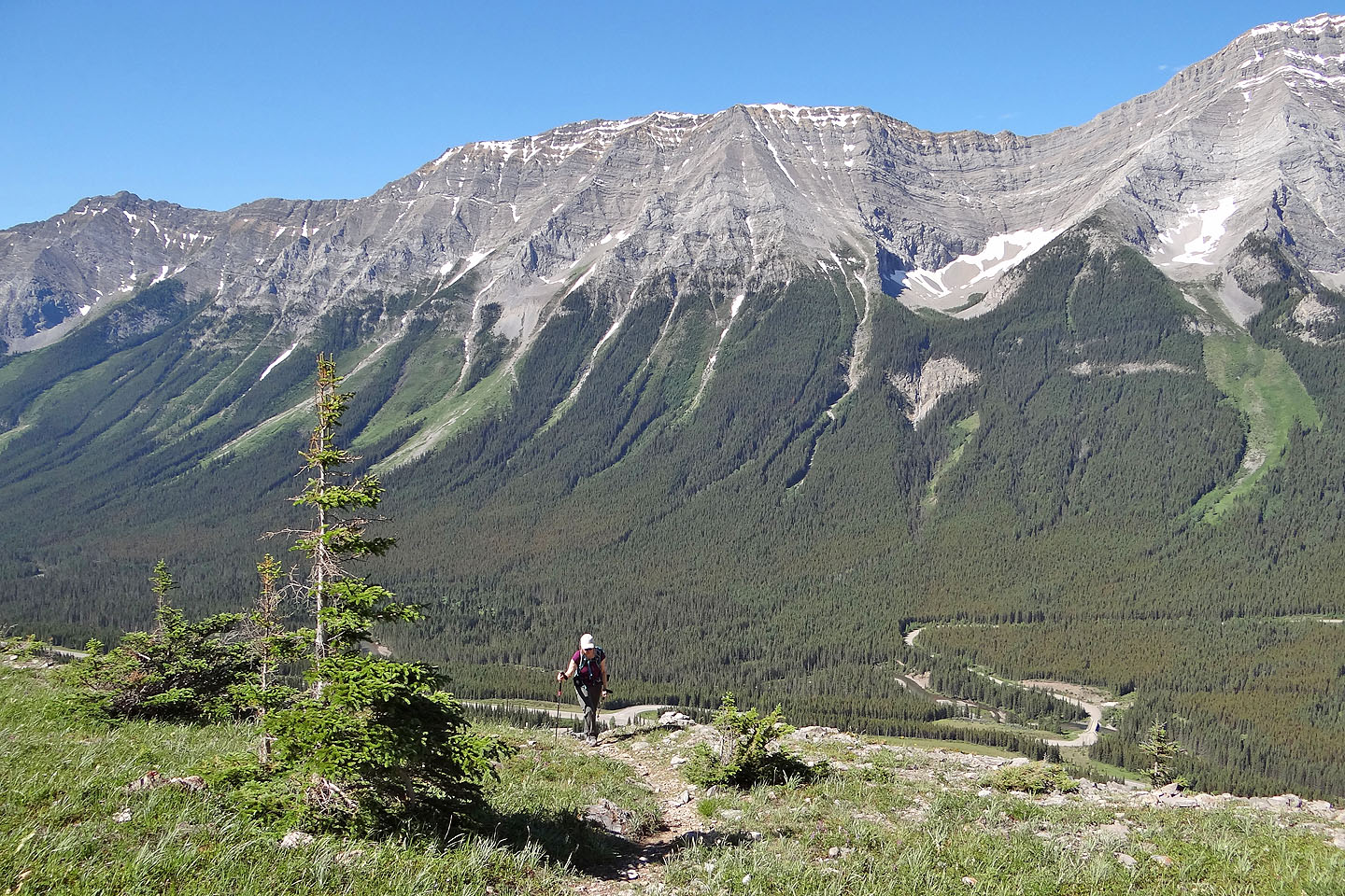
Looking back all the way to the parking lot
Coming up the gates
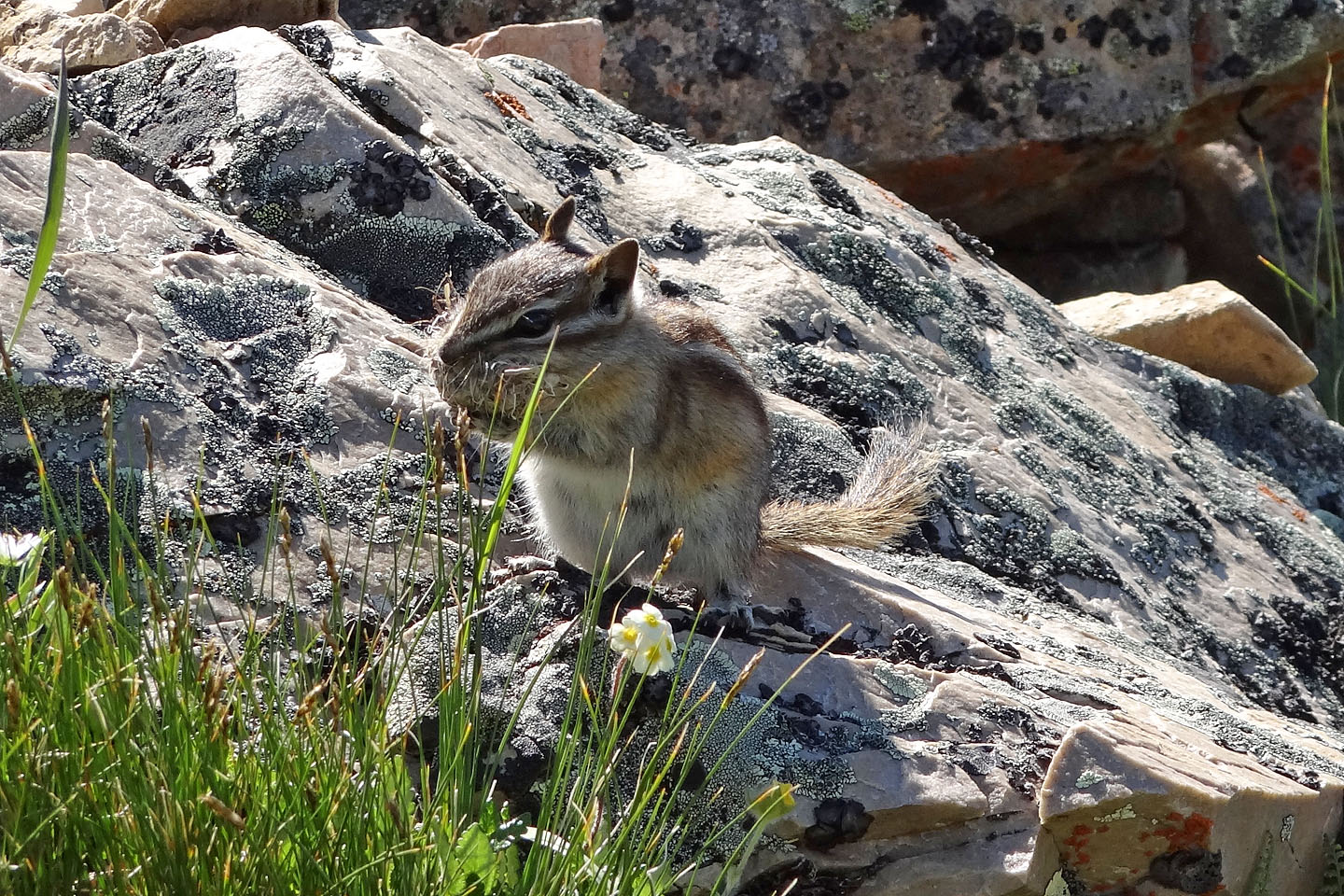
This chipmunk appeared to be carrying nesting material
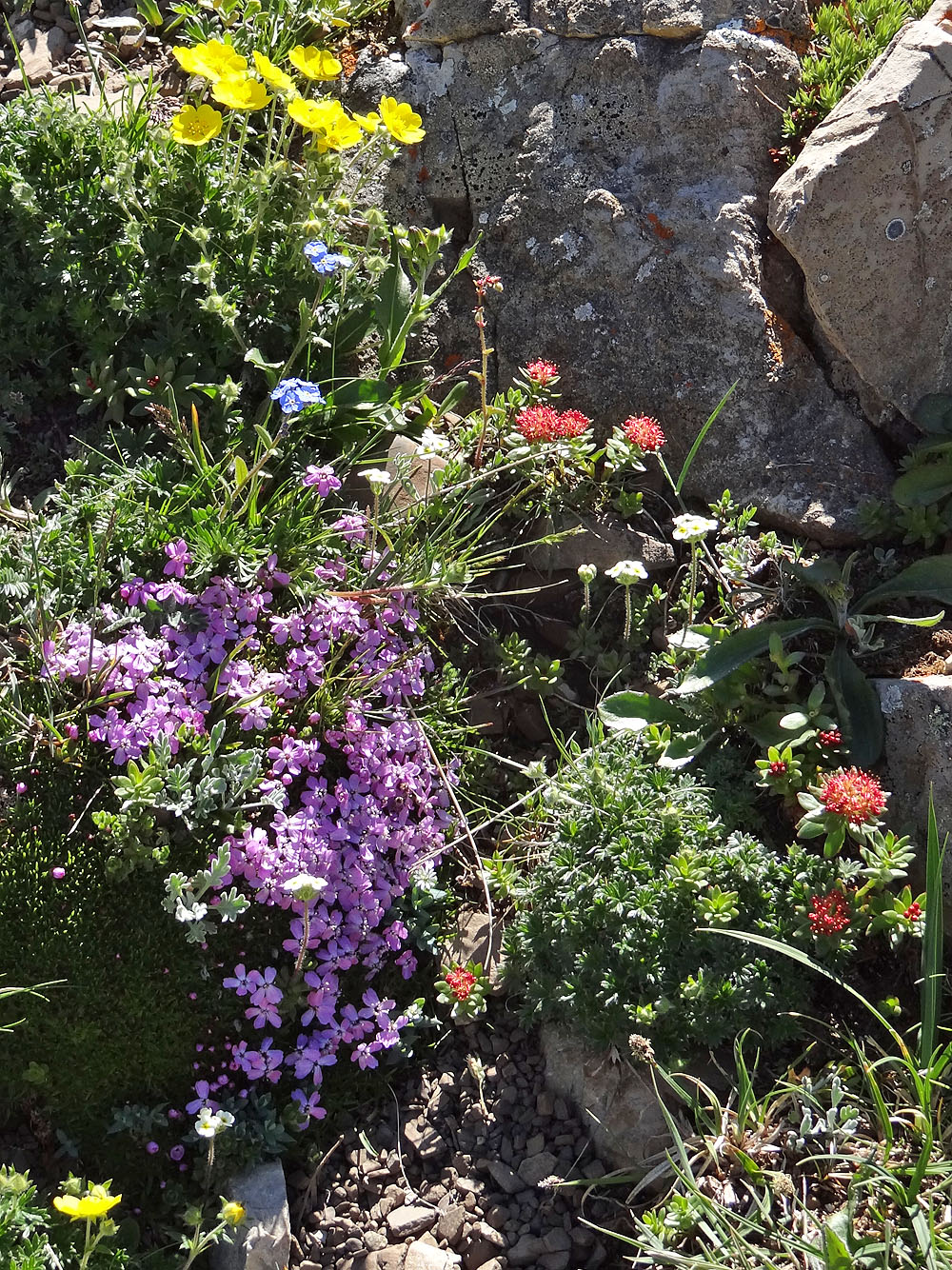
Five different wildflowers share the same piece of the planet
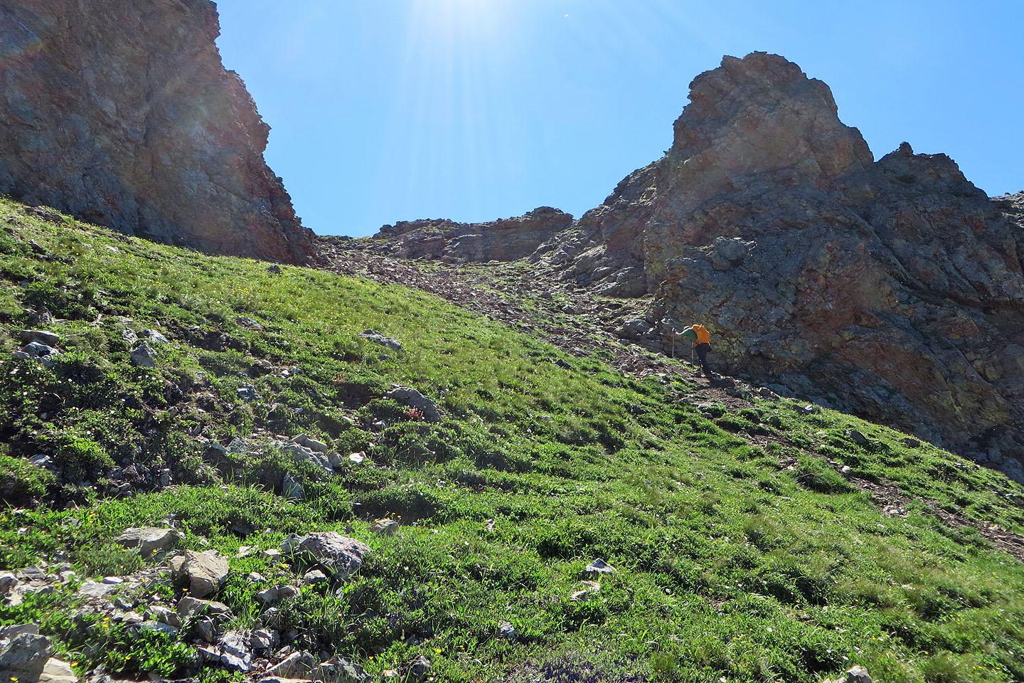
Passing through the gates
Looking down through the gates, you can see the trail
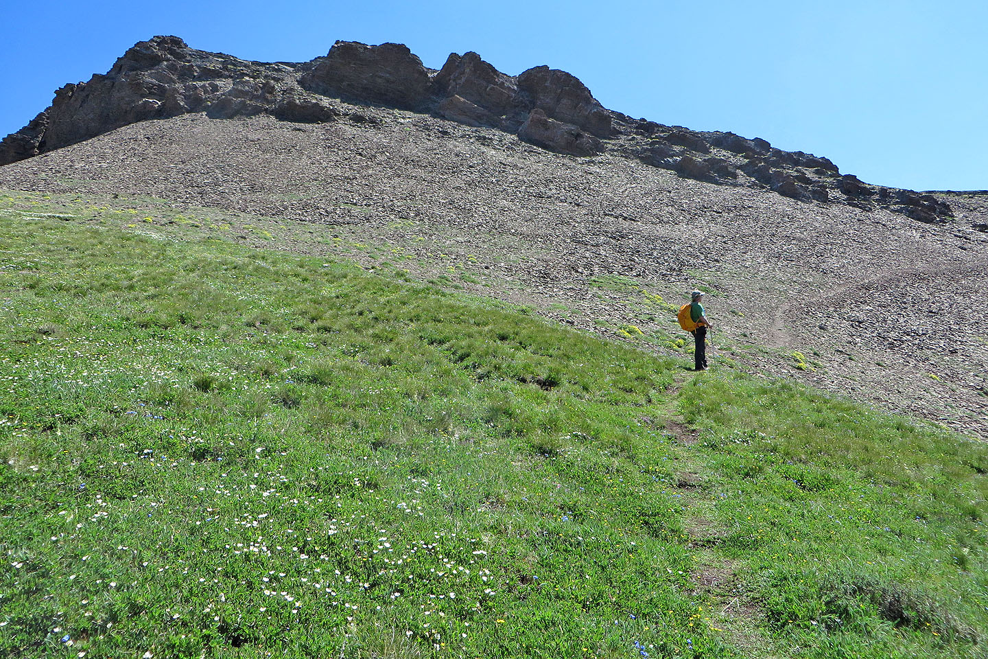
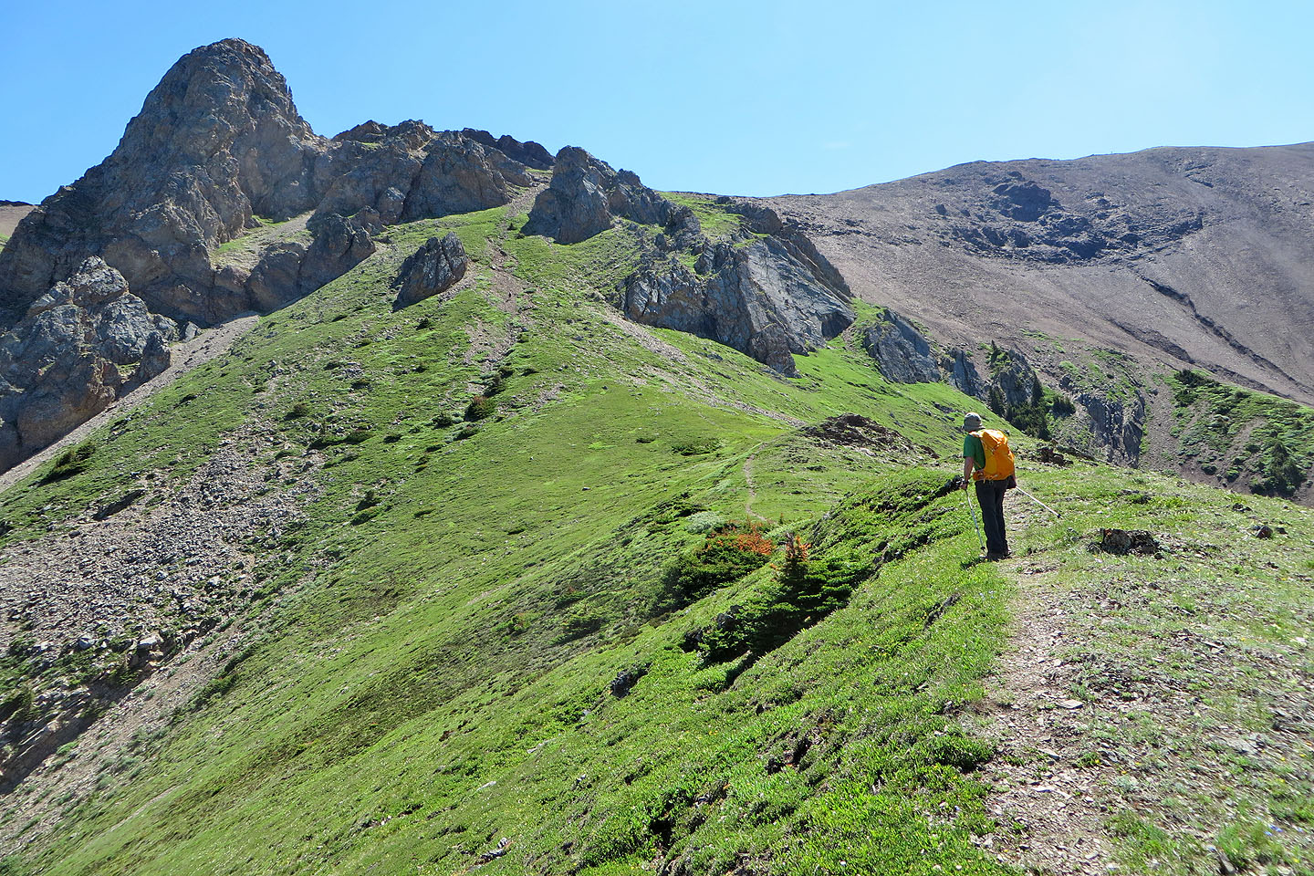
Above the gates, the trail runs to the ridge crest
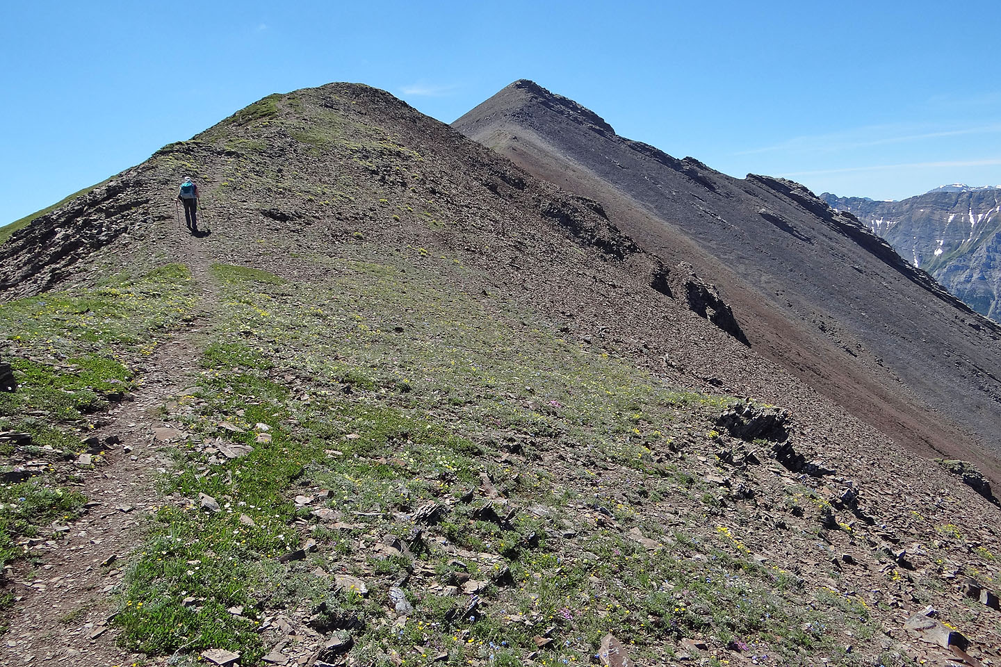
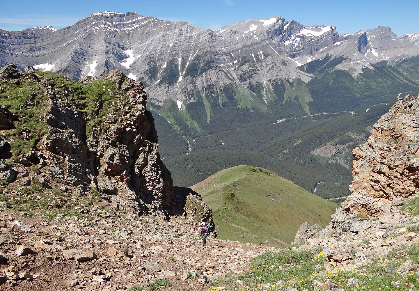
Following the crest trail to the summit
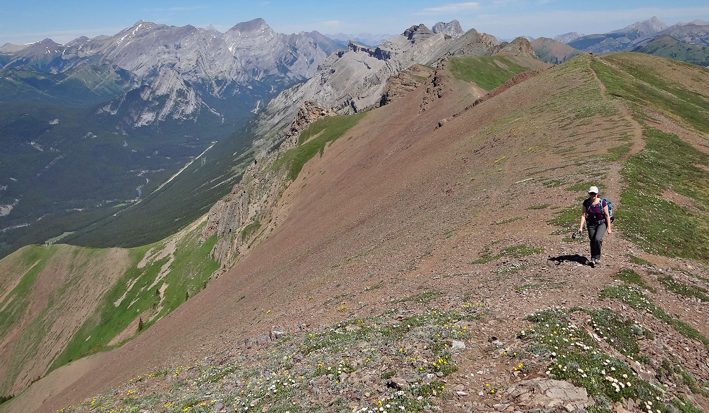
Looking back along the ridge. Mount Kidd South and Mount Kidd are on the skyline
(mouse over for a close-up)
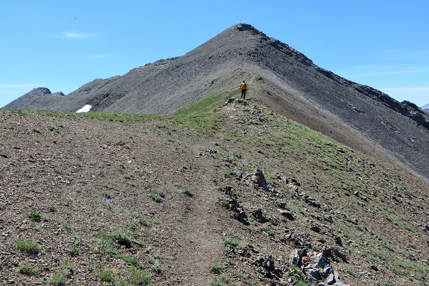
Minutes away from the summit
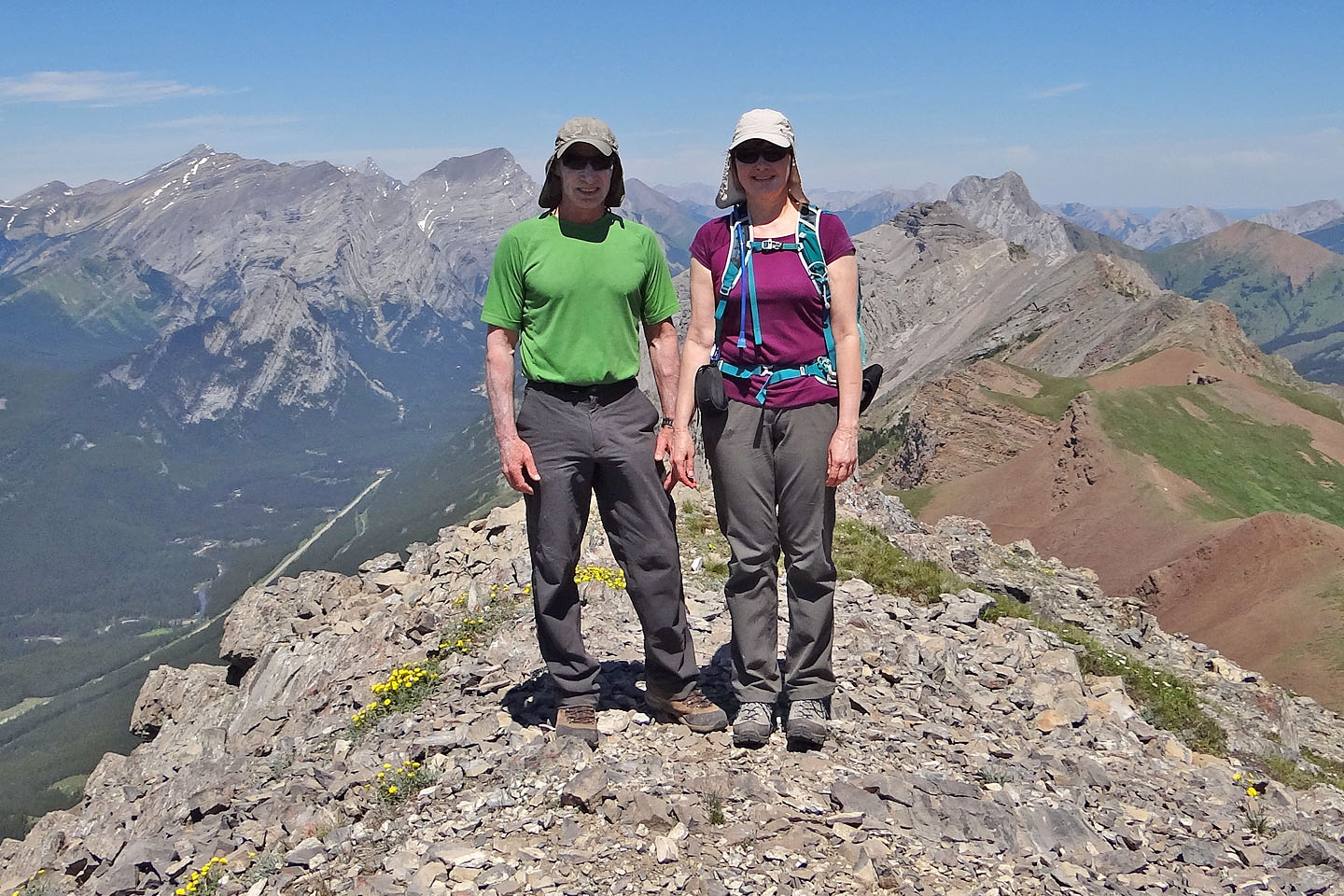
On the summit
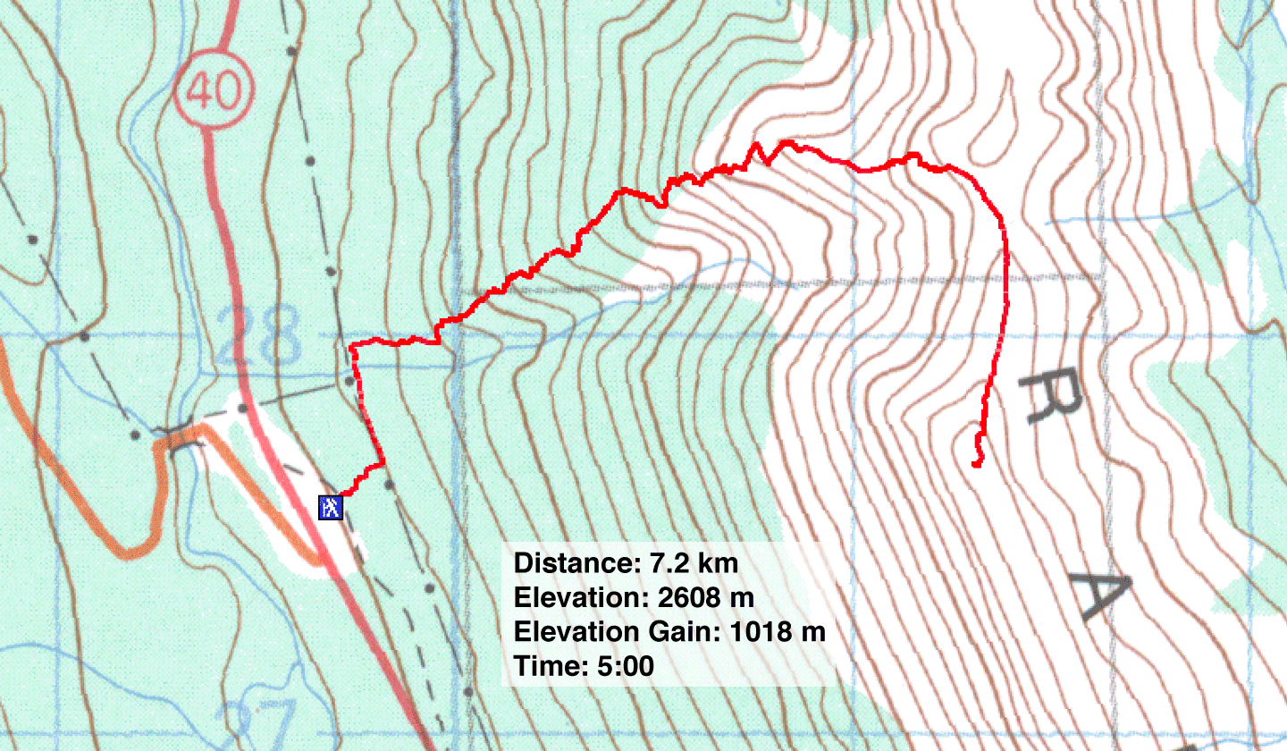
82 J/14 Spray Lakes Reservoir