bobspirko.ca | Home | Canada Trips | US Trips | Hiking | Snowshoeing | MAP | About

Okotoks Mountain
Tuner Valley, Alberta
June 3, 2020
Distance: 5.9 km (3.7 mi)
Cumulative Elevation Gain: 240 m (787 ft)
I wasn't expecting much after seeing Sonny's photos for Okotoks Mountain. But when he did it, it was a gray, winter day. But cast in the light of a clear spring day when all is verdant, this modest mountain displays charm. That's how I saw it.
Following information on Sonny's web page, I got permission to access the property where the trip began, at a gate after a long drive on a gravel road. I expected to follow a dirt road, but I was pleasantly surprised to find a carpet of grass. It was a bit boggy in spots, but only the soles of my boots got wet.
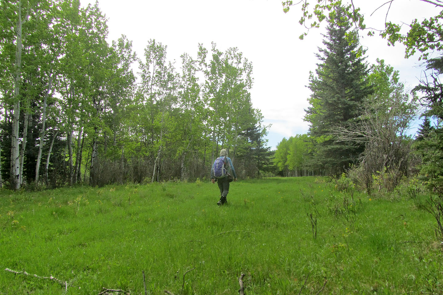
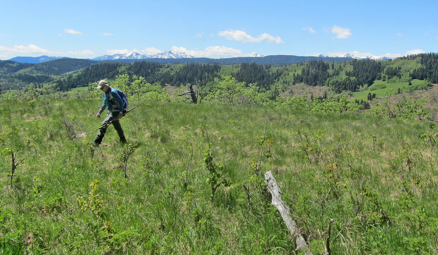
After the road passes a large meadow, it climbs to the edge of another huge field. Across the green expanse, I could see the forested summit ridge. I crossed the meadow and headed to the ridge in front of me before realizing I didn't need to climb it: the meadow narrows and curls around it. I hiked to the end of the meadow to take a corridor in the trees. When the corridor ended, I continued in the same direction, southwest, and started climbing a scrubby hillside. It suddenly steepened, but by then I could make out the ridgetop. I soon appeared in a glade on the crest. I gazed west at the distant, snow-covered peaks before turning my attention to the nearby, tree-covered north summit of Okotoks Mountain.
I followed a vague trail along the lightly-forested crest. I crossed the north summit and middle summit before arriving at the south and highest point. The summit of Okotoks Mountain is half-bare with views confined to the mountainless south. But despite the imperfect views, I found the spot blissful.
After spending time on the top, I followed the little path back along the ridge, mindful I needed only to find the same slope I had ascended. It's a simple route, and I appreciated Sonny's work finding a hike on Okotoks Mountain.
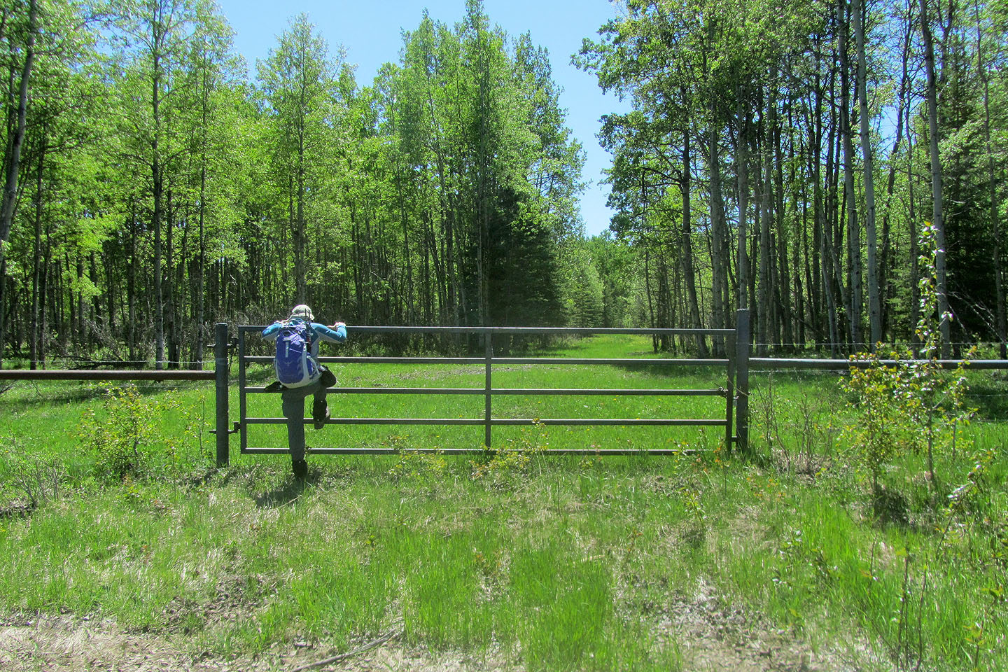
Climbing the gate at the start
Hiking up the road
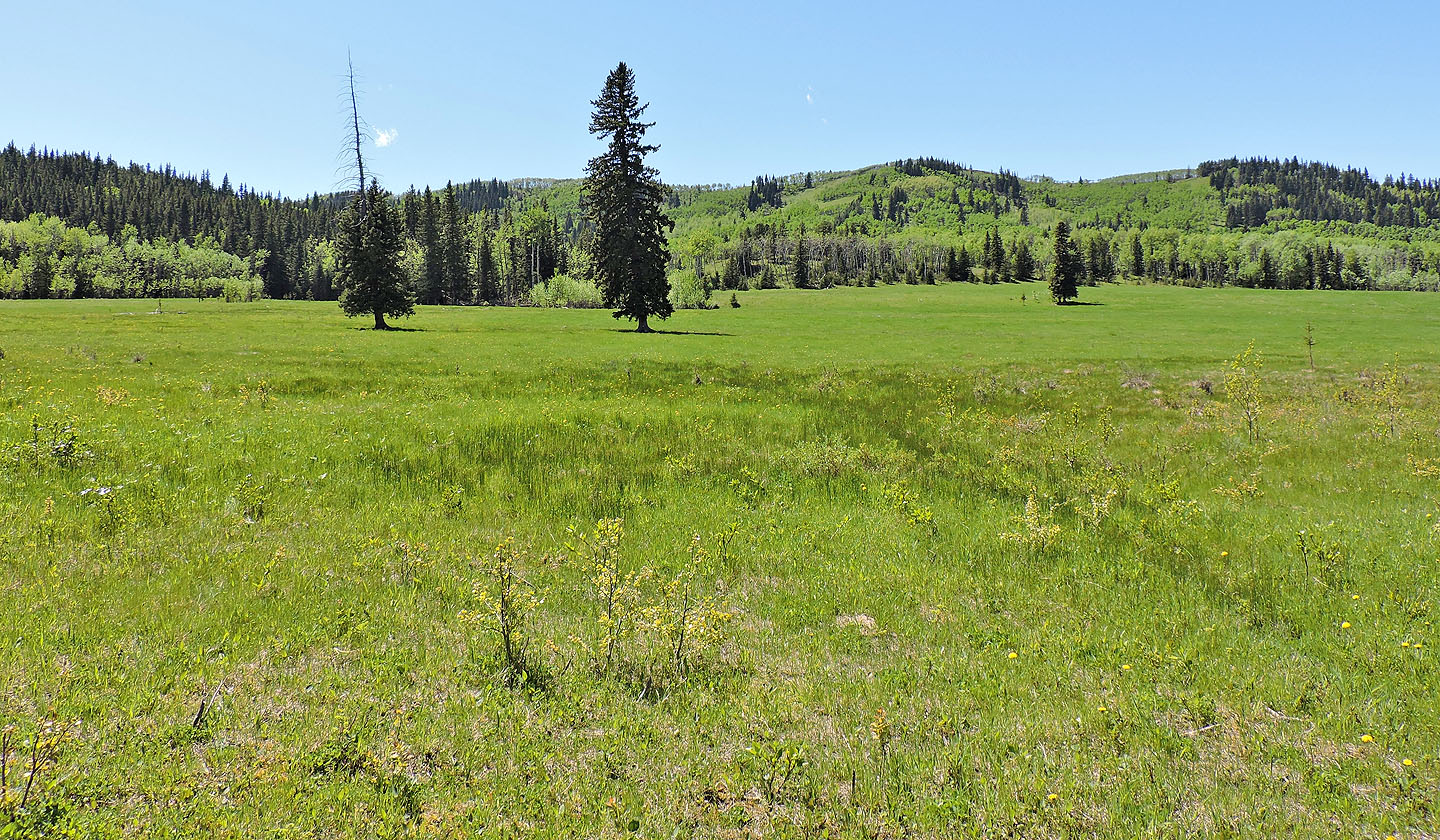
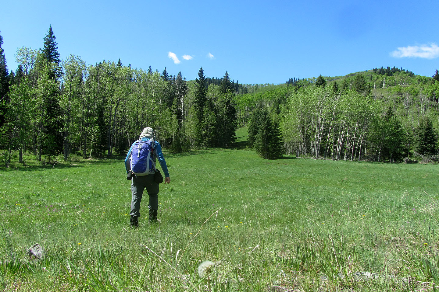
The summit ridge lies on the other side of a large meadow
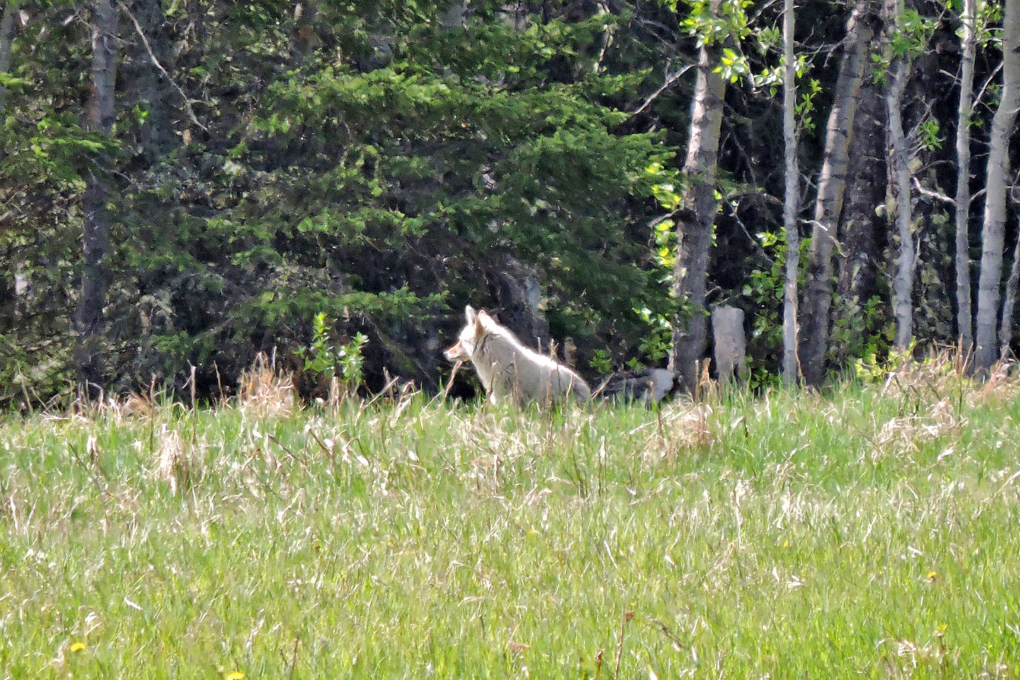
I watched a coyote for several minutes as it crossed the meadow
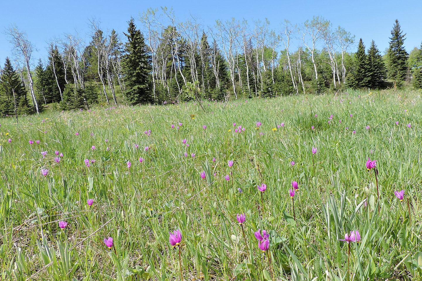
Before reaching the other side of the meadow, I passed a profusion of shooting stars
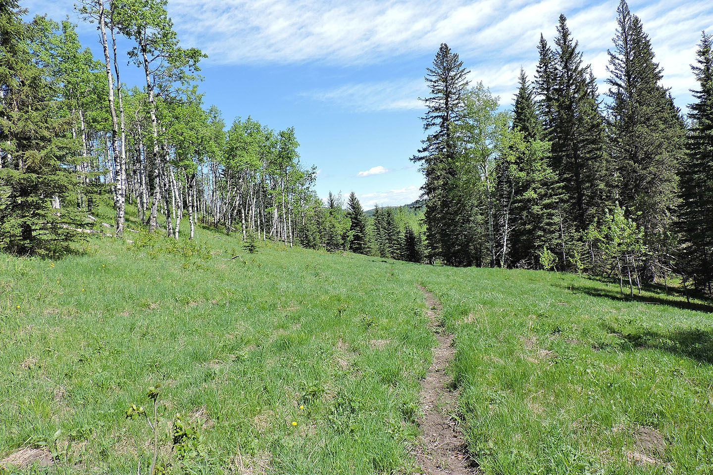
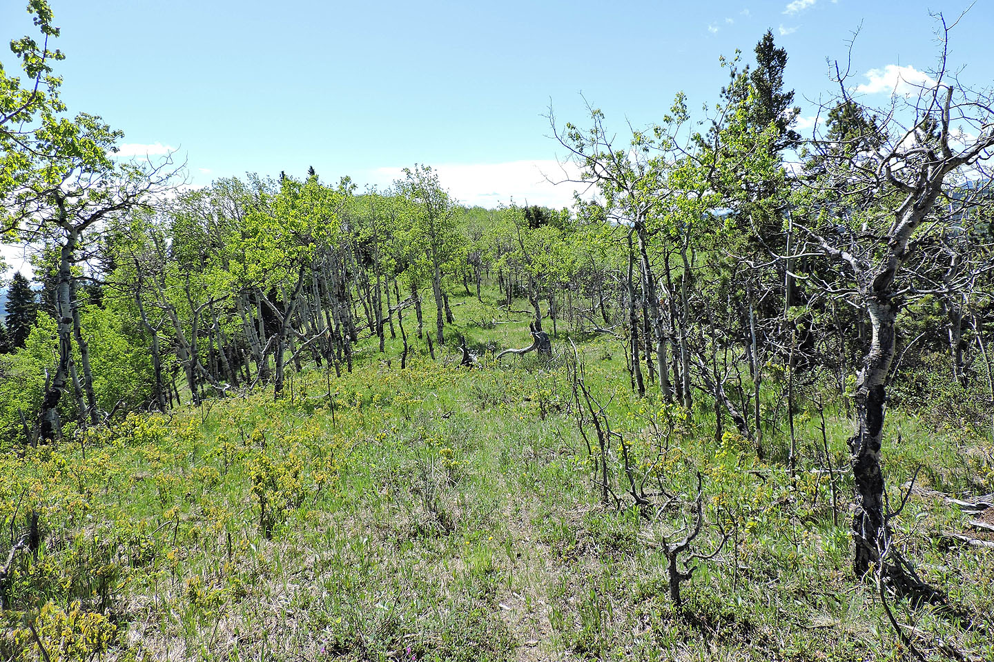
At the end of the meadow, there's a corridor in the trees
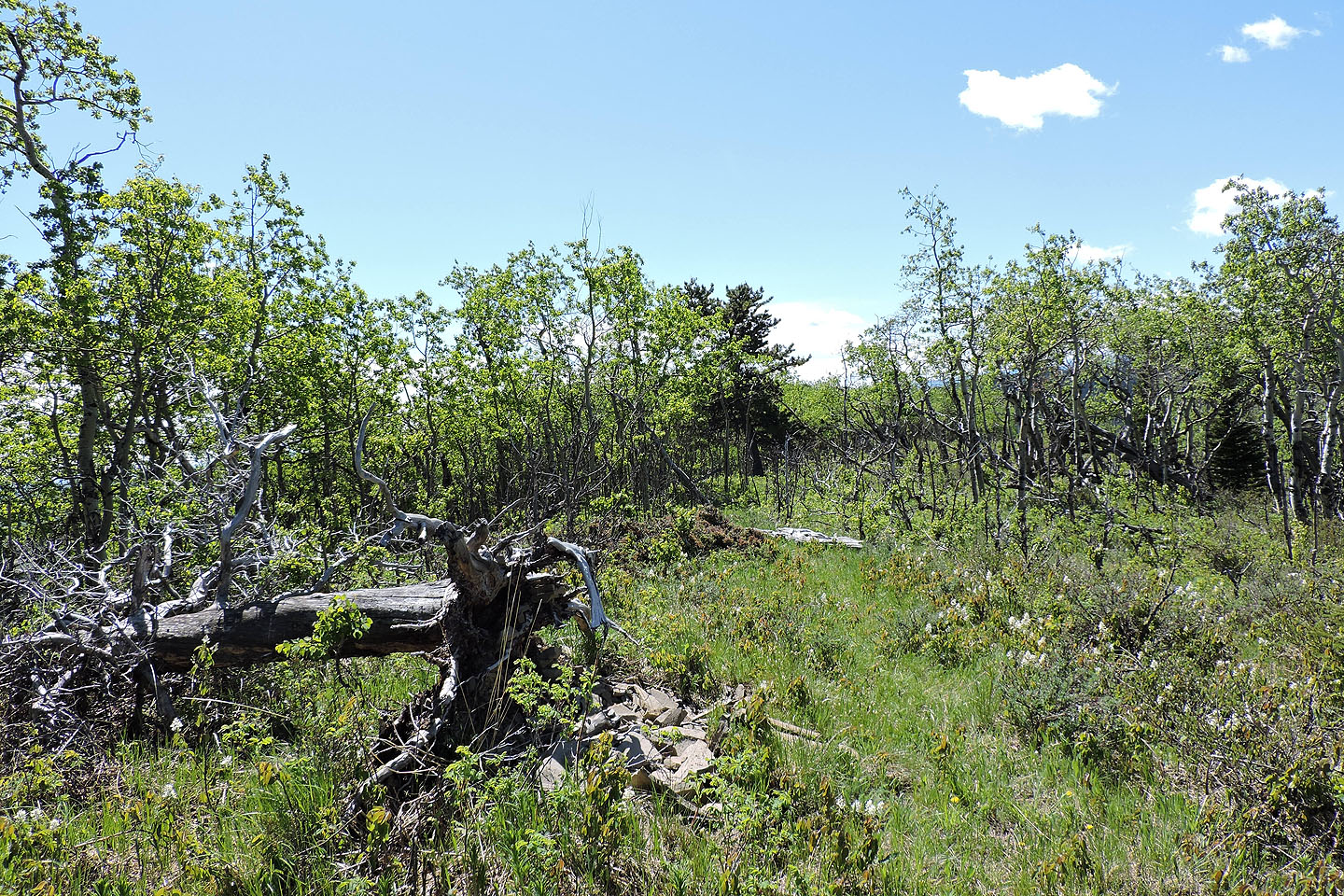
Looking back after starting up the corridor
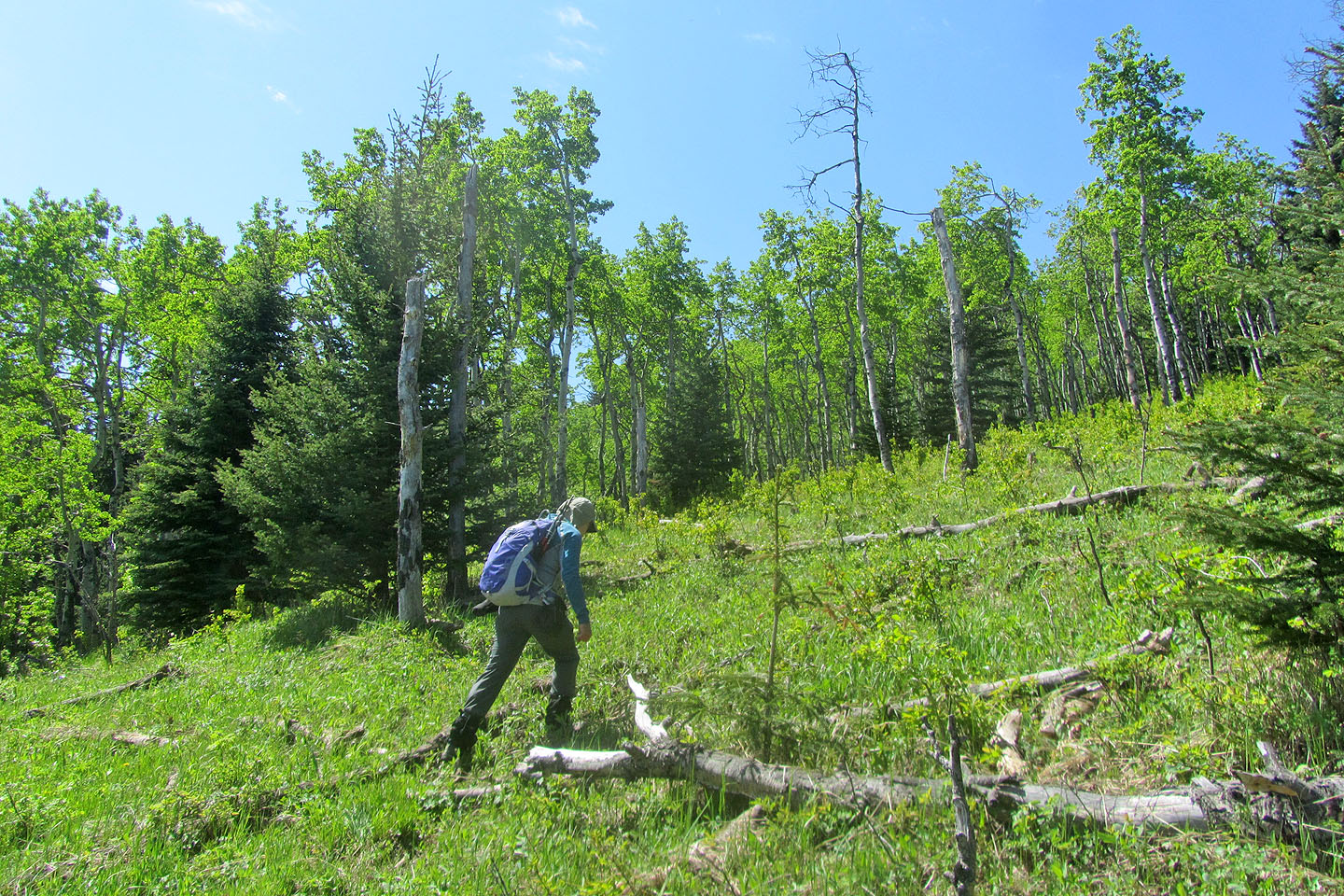
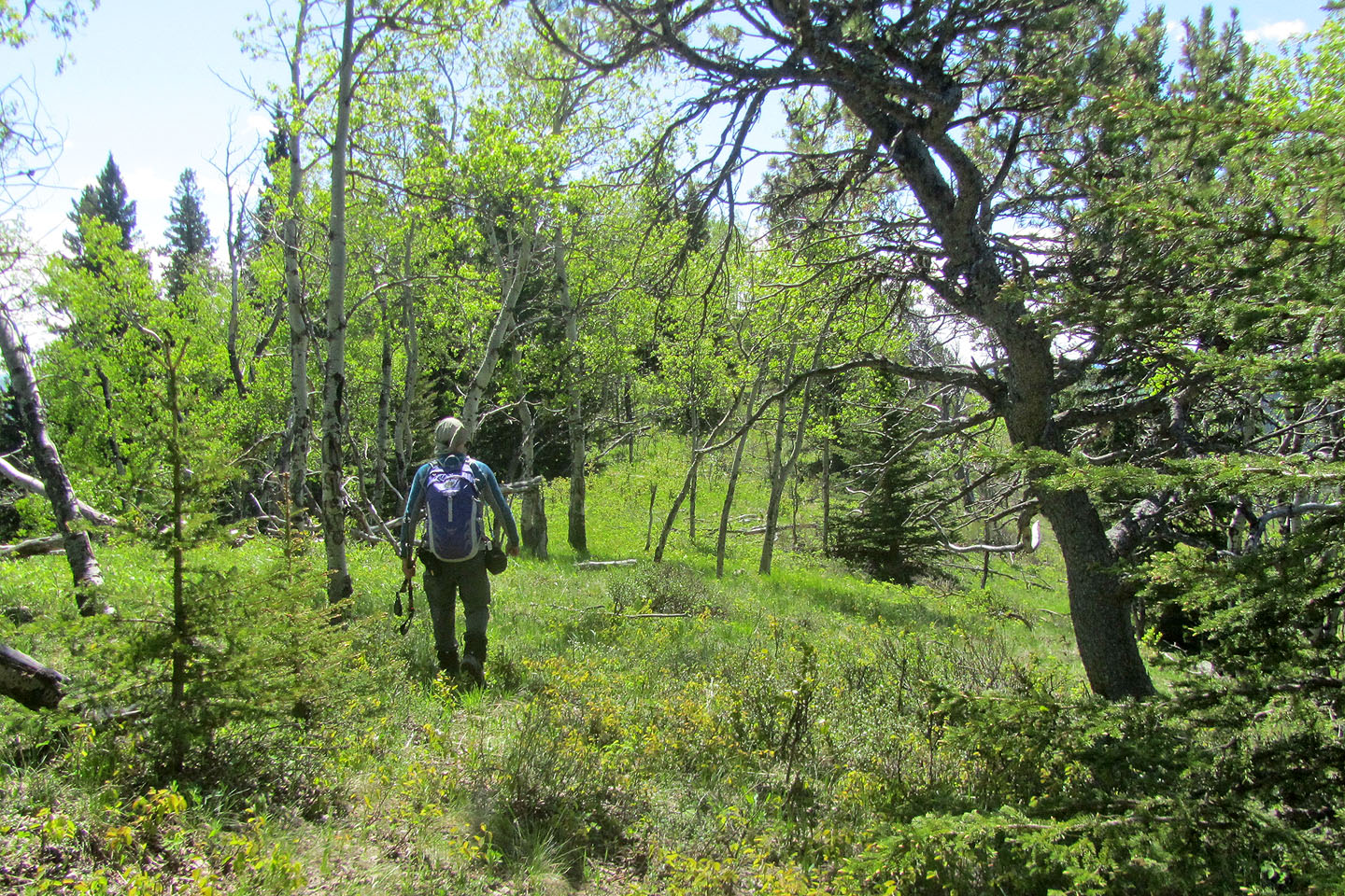
After reaching the end of the corridor, I started up the slope
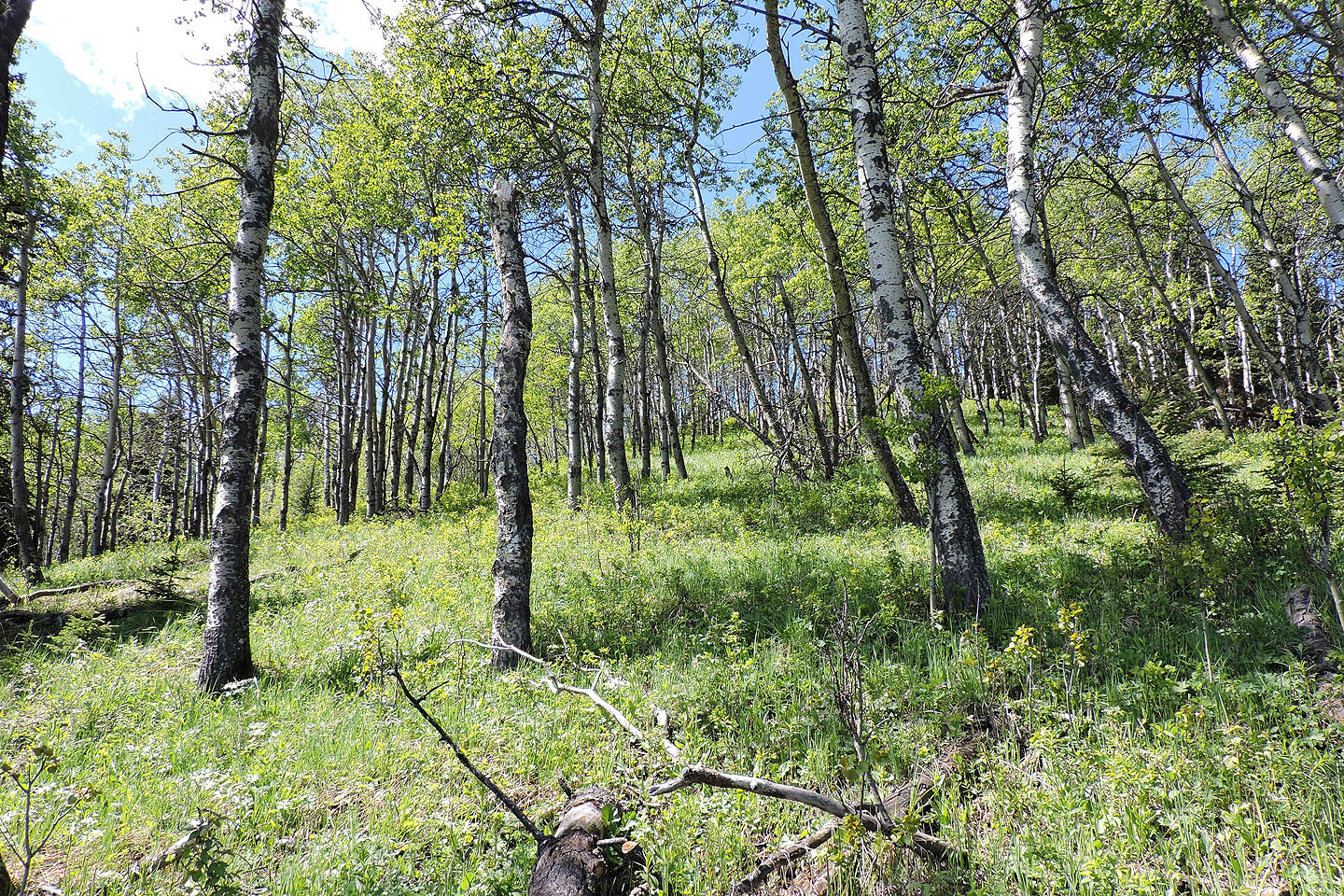
With the ridgetop in sight, the grade steepens
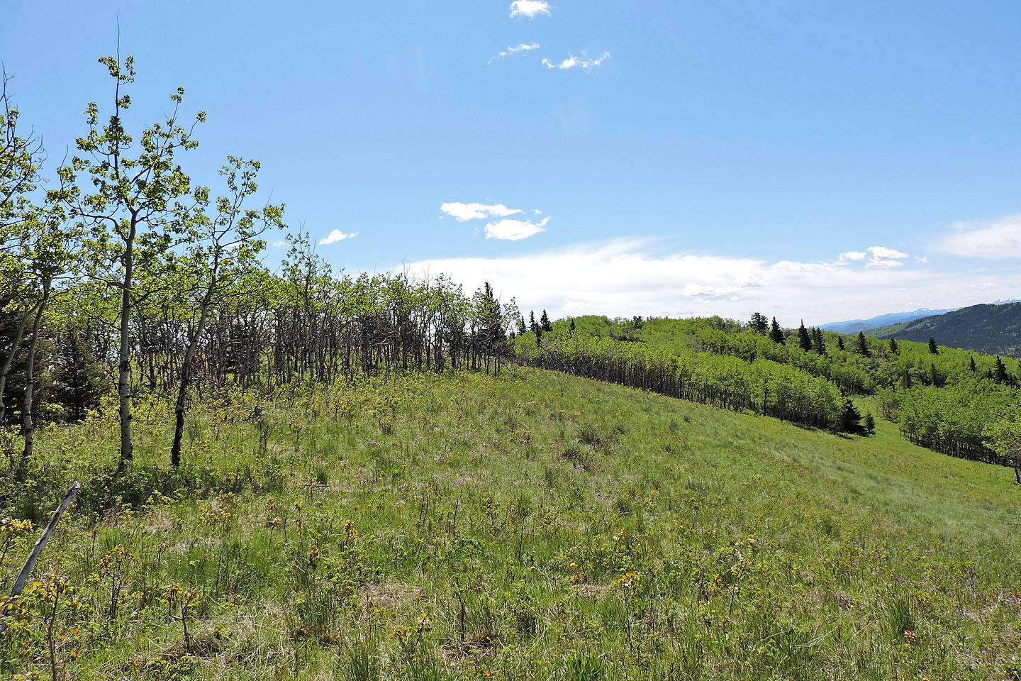
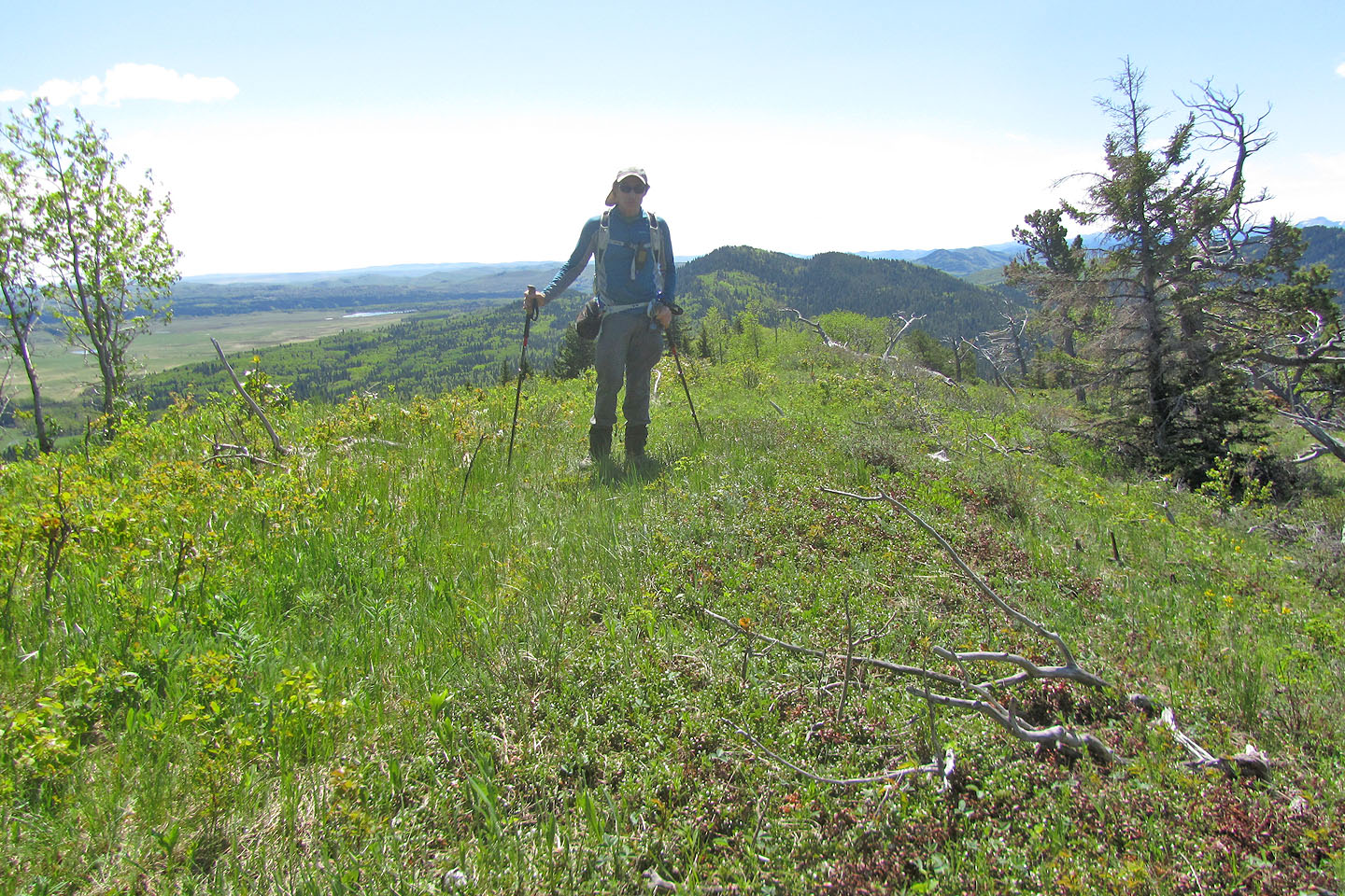
When I reached the ridgetop, the north summit was 300 m away
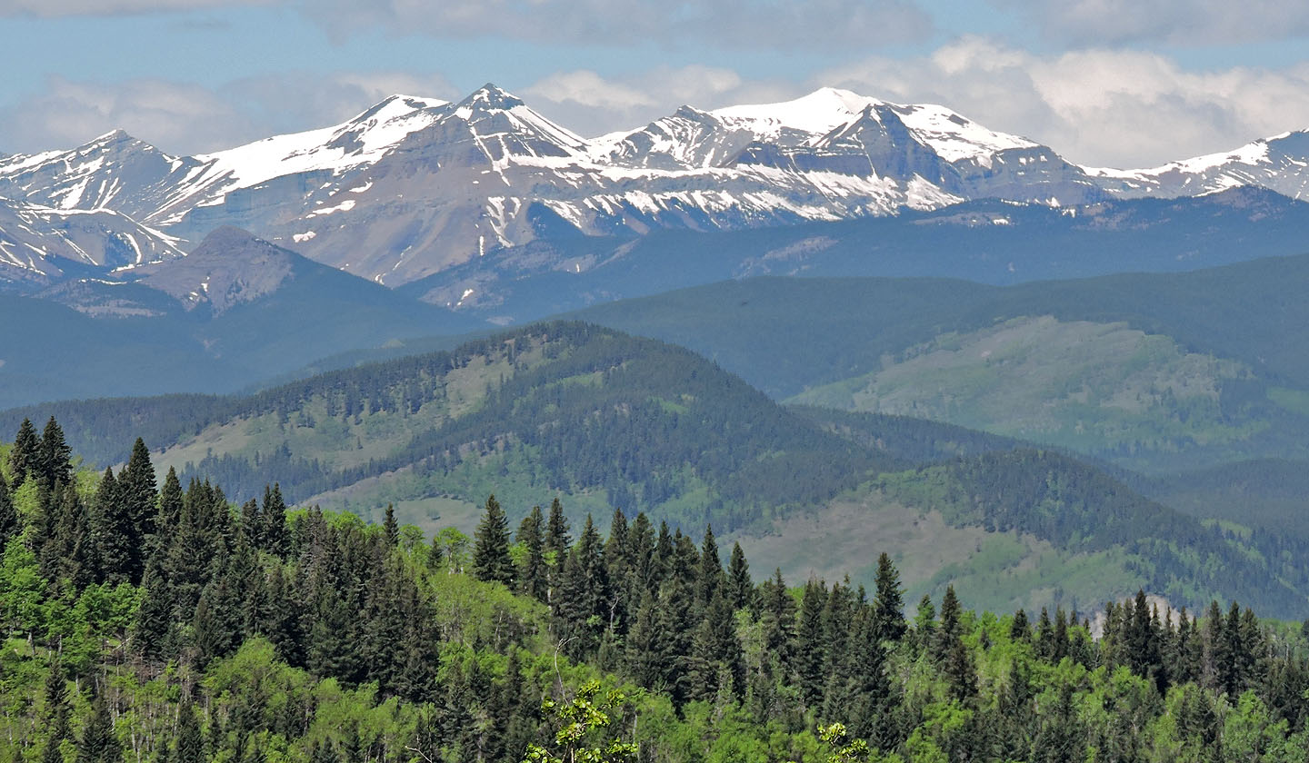
Southeast, well in the distance, is the tiny, bare summit of Mount Ware (left) and snow-covered Mount Rose and Threepoint Mountain
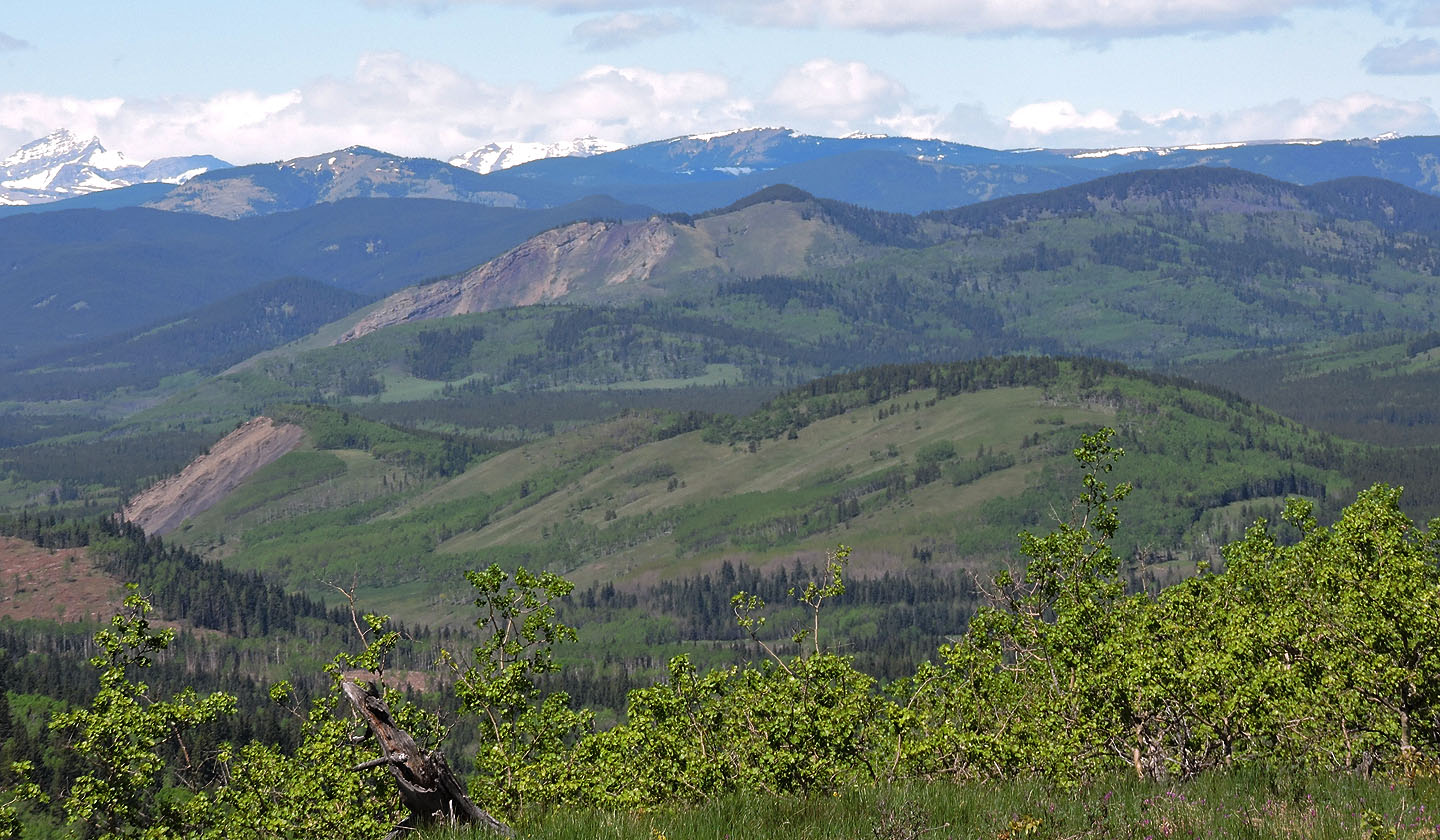
Windy Point Ridge and Gleason Ridge are among the closest mountains. Behind them are Volcano Ridge and Forgetmenot Mountain
I could see little of the mountain ranges west, but Okonnel Ridge is close by.
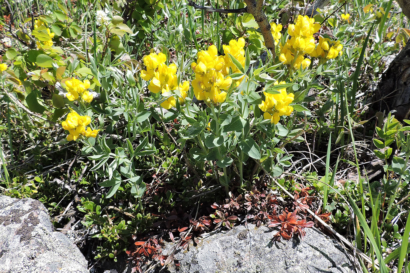
Golden bean
I followed a faint crest trail
There were no views on the north summit
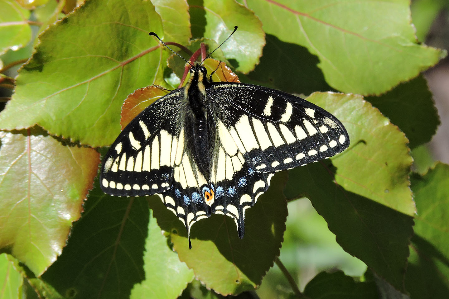
Swallowtail butterflies floated along the ridge
The middle summit was also viewless, so I continued to the south summit
The south summit is open to the south
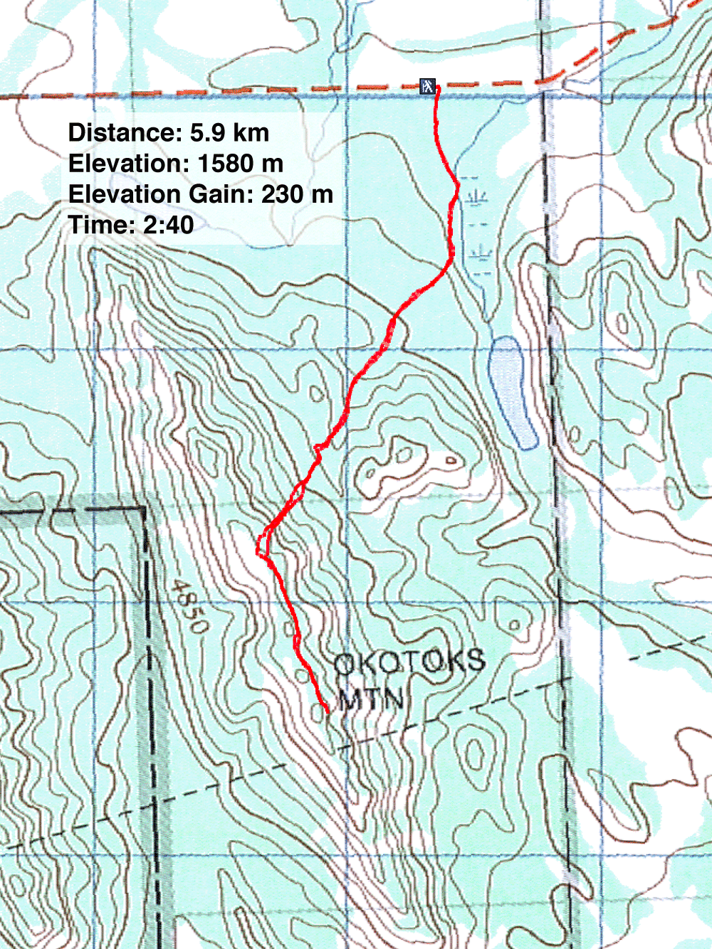
82 J/9 Turner Valley