bobspirko.ca | Home | Canada Trips | US Trips | Hiking | Snowshoeing | MAP | ABOUT
Ford Knoll Loop
Kananaskis, Alberta
June 8, 2019
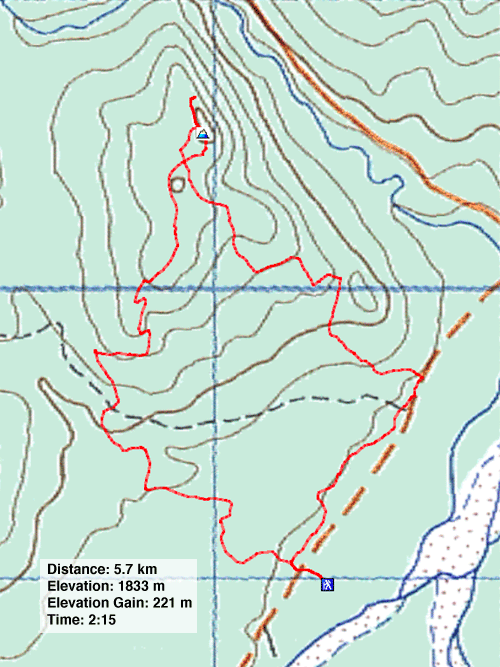
Distance: 5.7 km (3.5 mi)
Cumulative Elevation Gain: 233 m (764 ft)
When Sonny Bou pointed out his recent Ford Knoll loop trip, I set aside the idea – until a day came when we wanted to get out and the forecast called for a risk of afternoon thunderstorms. By doing this short hike in the morning, we avoided getting rained on.
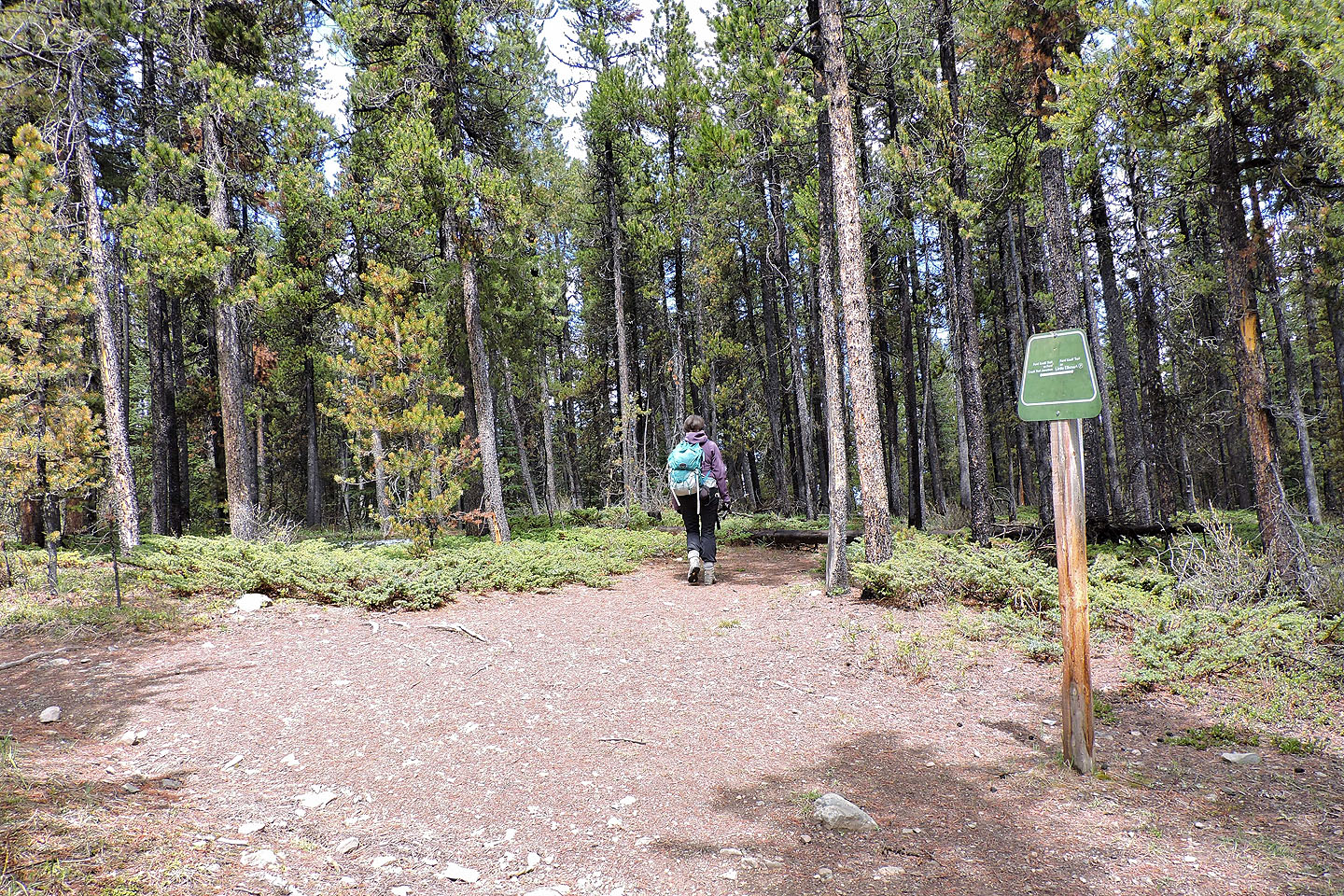
From the Little Elbow parking lot, Dinah and I started up the trail (alternatively you can begin at Forgetmenot day-use area). We crossed the road and at the first junction, we turned right: we would hike the loop counterclockwise. The trail parallels Hwy. 66 before it turns left and starts climbing.
Because of the many junctions, we paid close attention to directions in the Kananaskis Country Trail Guide. We also paid attention to where we planted our boots: the trail was rife with cow dung.
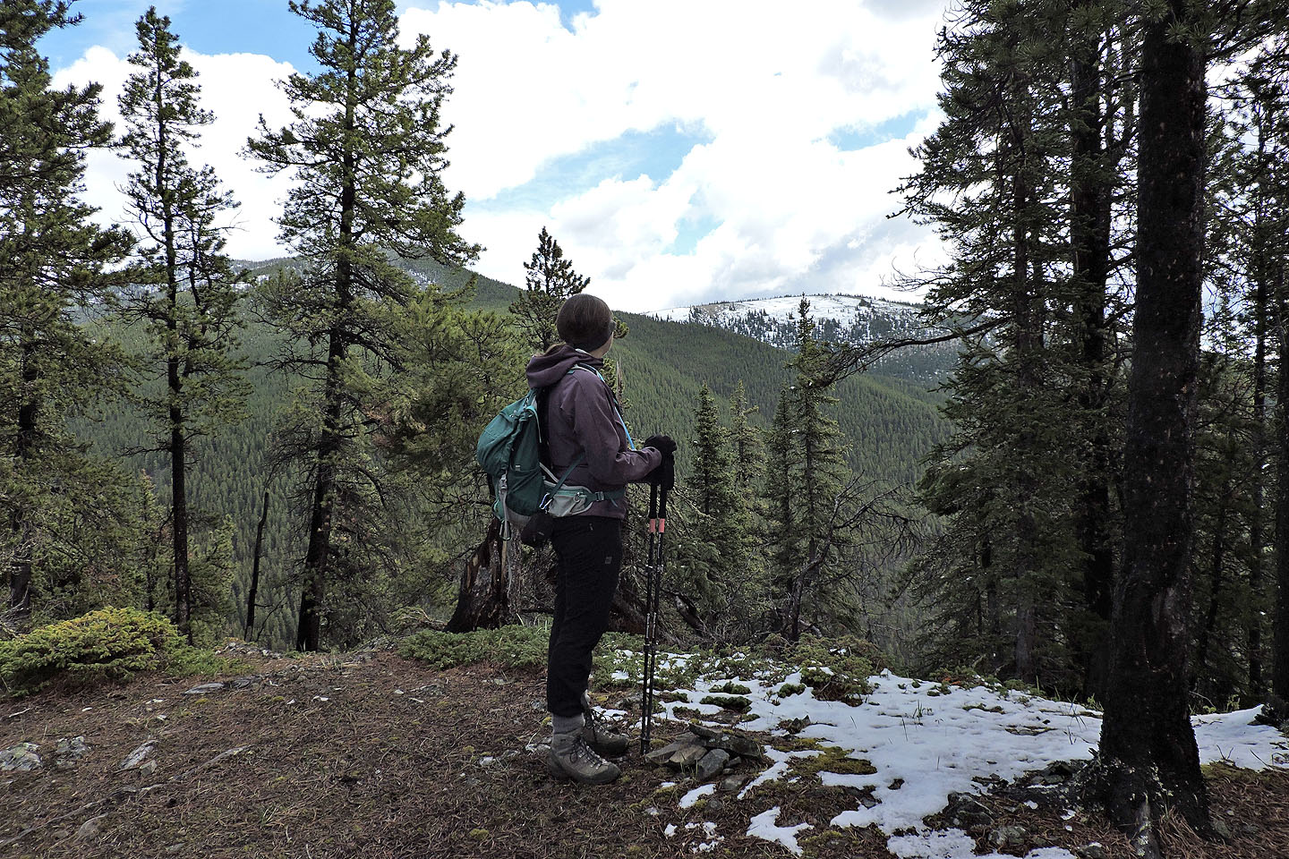
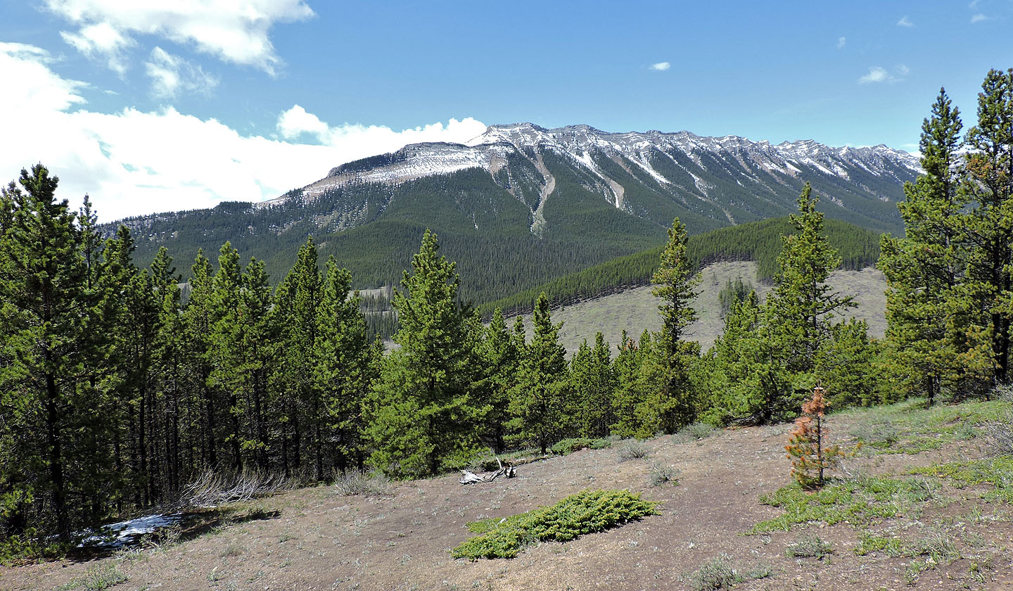
Just below the summit, we turned left and followed a short side path to view Forgetmenot Ridge. Since much of this hike is in trees – even the top is treed – you'll want to take advantage of every viewpoint. Afterwards we hiked over the top of Ford Knoll and returned to the 4-way below the summit.
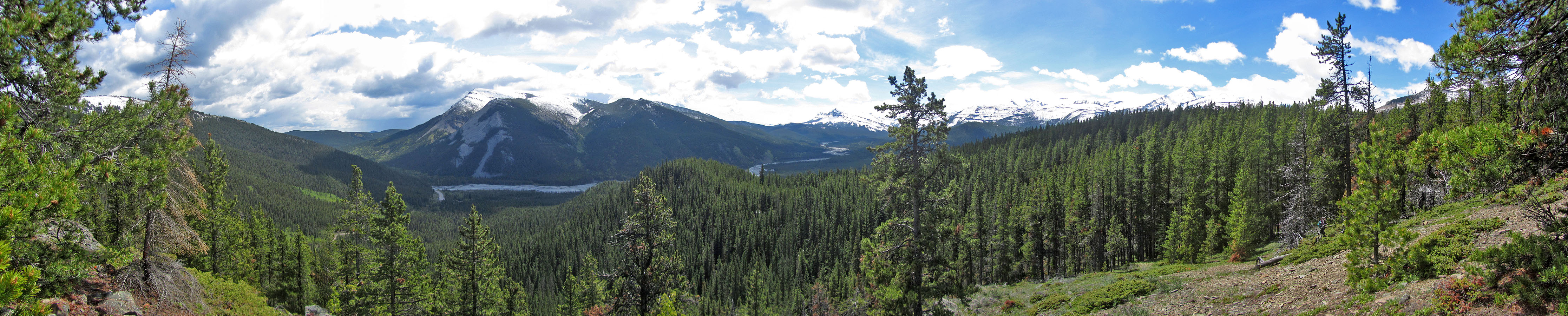
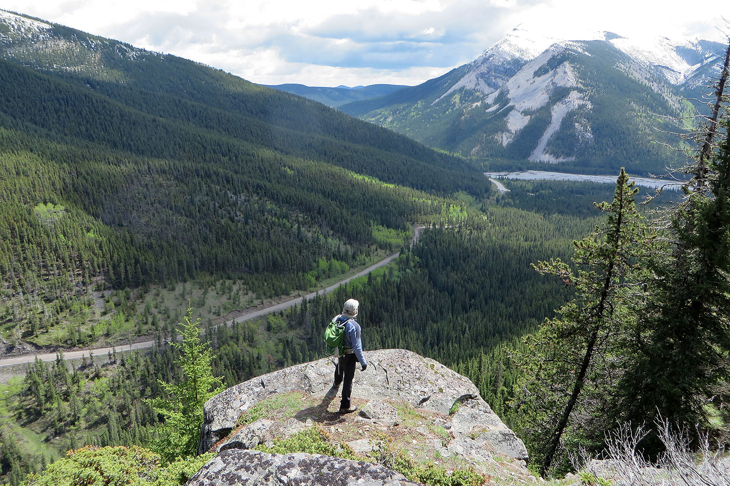
As we followed the descent route down the southwest ridge, small clearings provided views of snow-covered peaks, views we would have our backs to if we had done the loop in reverse. We coasted back to the parking lot under mostly sunny skies.
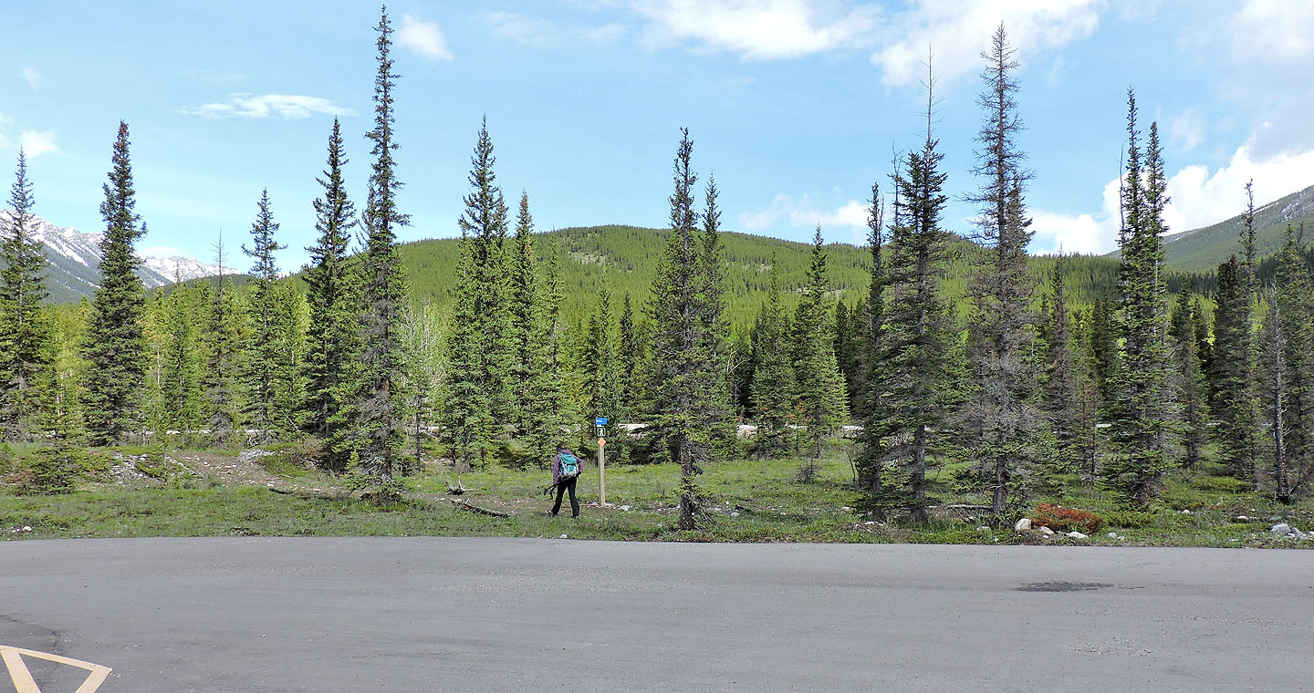
Ford Knoll seen from the parking lot
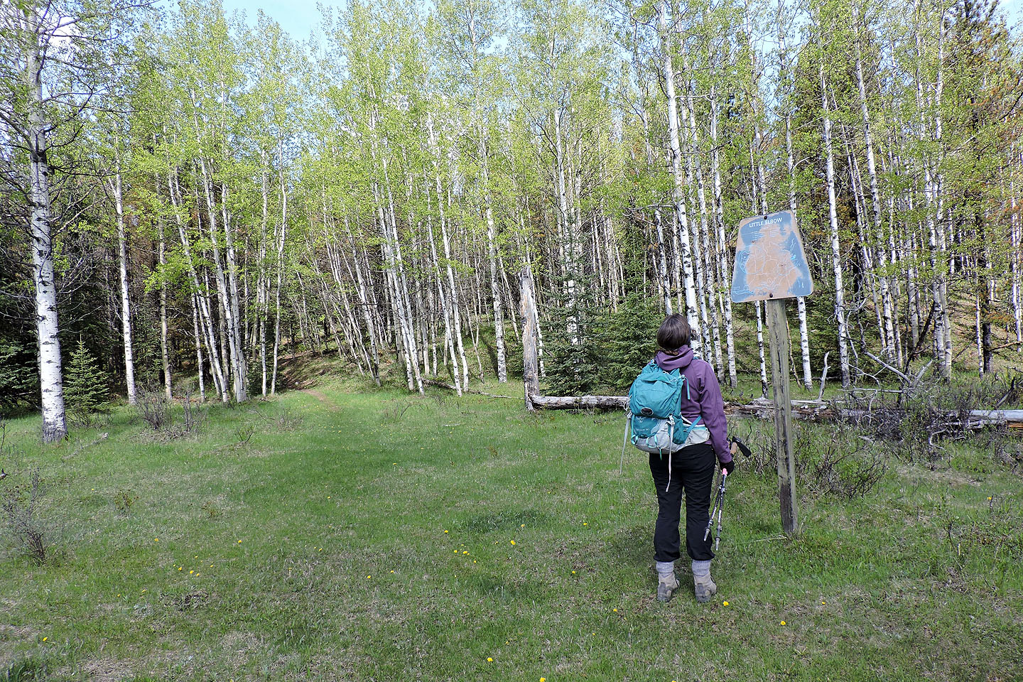
After crossing the road and going through a gate, a weathered map marks the junction. We turned right but ended our trip from the left.
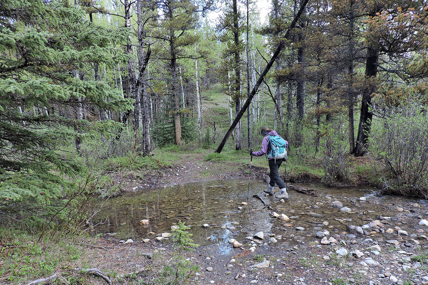
Minutes later we crossed a brook
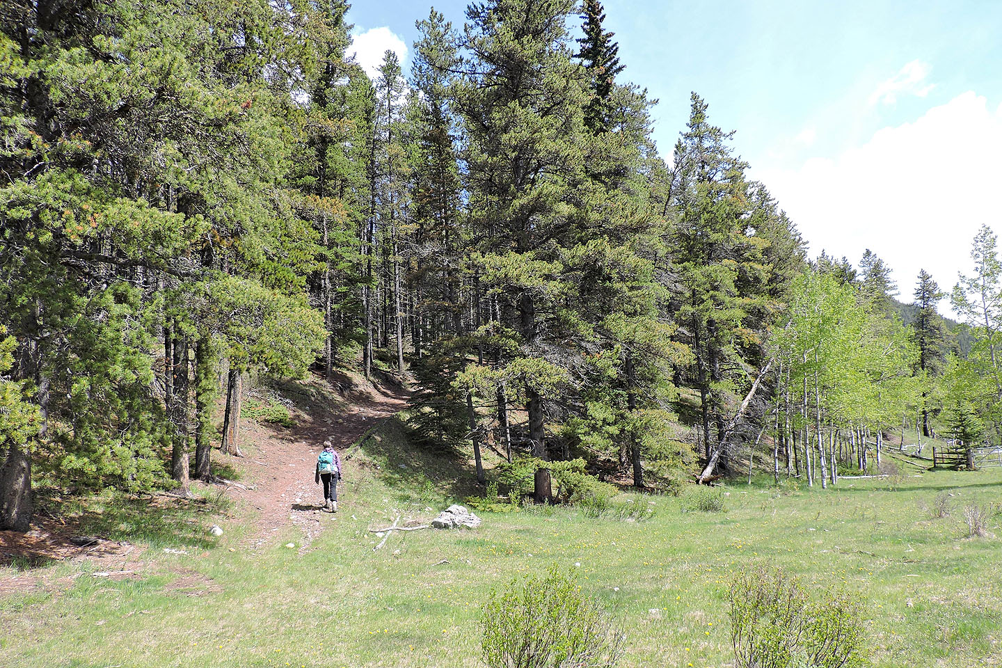
The trail parallels the road and then veers left
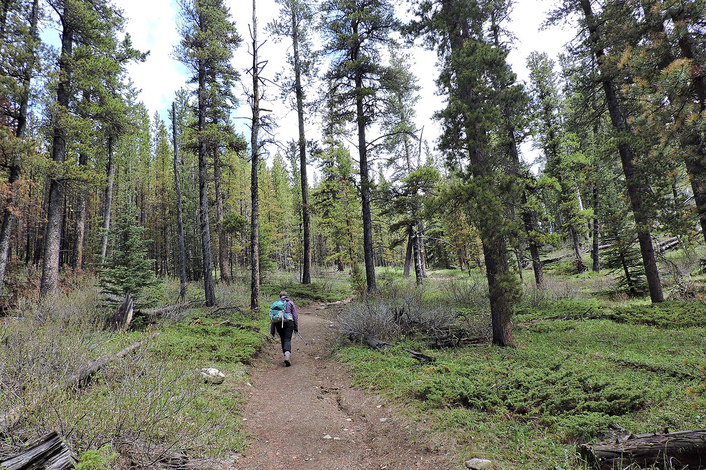
For the most part, the grade is gentle
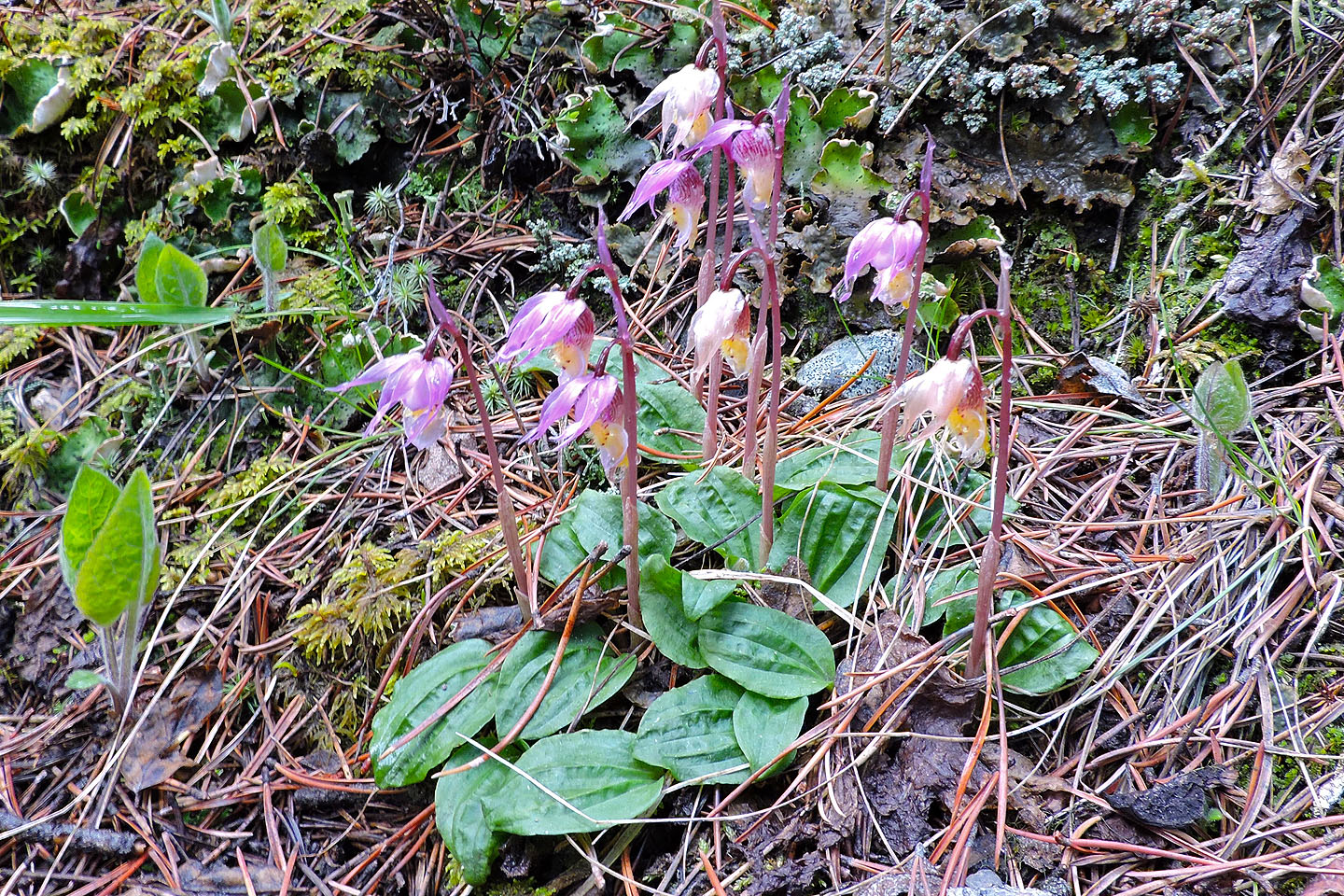
Calypso orchids
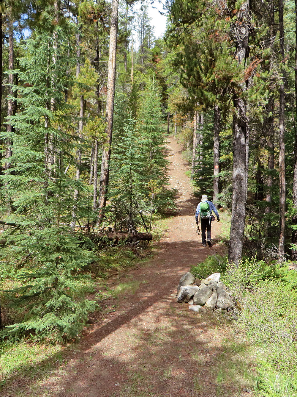
If you have trouble following the broad trail, look for huge cairns!
4-way junction below the summit
A side trail leads to a viewpoint. Forgetmenot Ridge on the right.
There's not much to see on the summit
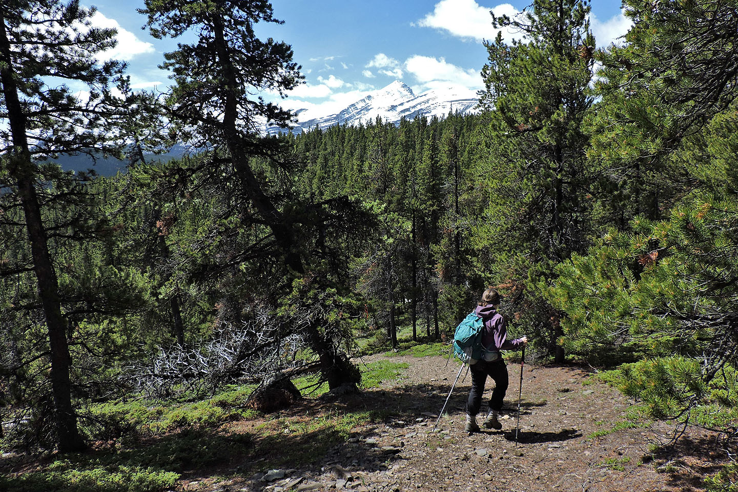
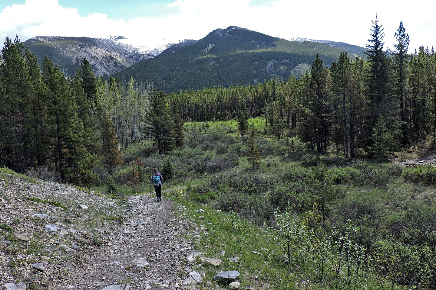
After going over the top we continued back to the 4-way, Mount Glasgow appears ahead.

After the 4-way we passed through skinny trees
A clearing permits a view of Nihahi Ridge
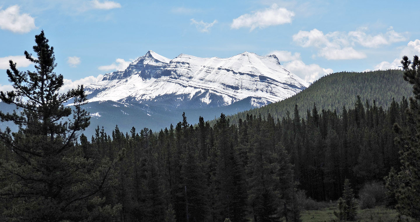
Threepoint Mountain
Before reaching the parking lot, the trail drops down and crosses the creek (far right)
82 J/15 Bragg Creek