bobspirko.ca | Home | Canada Trips | US Trips | Hiking | Snowshoeing | MAP | About
Gunnery Mountain
Kananaskis, Alberta
February 18, 2008
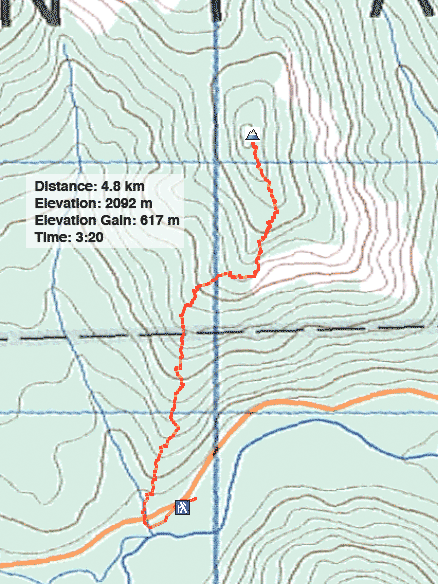
Distance: 4.8 km (3.0 mi)
Cumulative Elevation Gain: 617 m (2024 ft)
Dinah and I looked forward to a long snowshoe trip, but shortly after leaving at 6:30 am, after driving just 20 km, the battery light on my car came on and my car died. We called AMA and had the car towed to Canadian Tire, the only place that works on cars on Sundays.
Just before 1:00 pm, my car was ready. Strangely, both the alternator and battery had to be replaced. Since the sun set at 6:00 pm, a short hike close to home would have to do.
We drove to Gunnery Mountain and parked by the drainage left of the southwest ridge. I was hoping that the windward side of the mountain would be relatively free from snow, but it wasn’t the case.
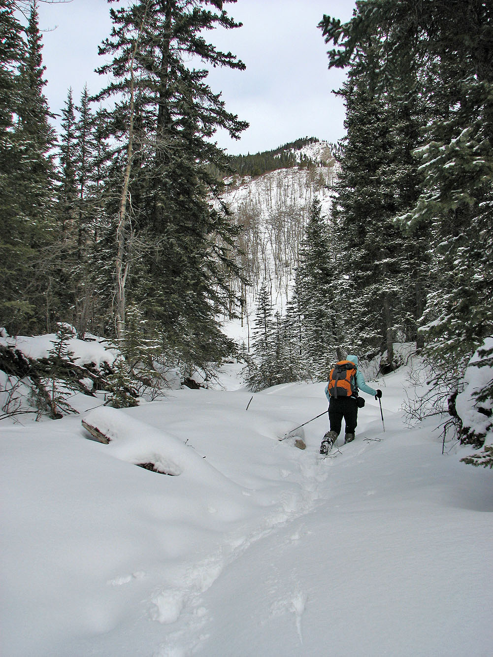
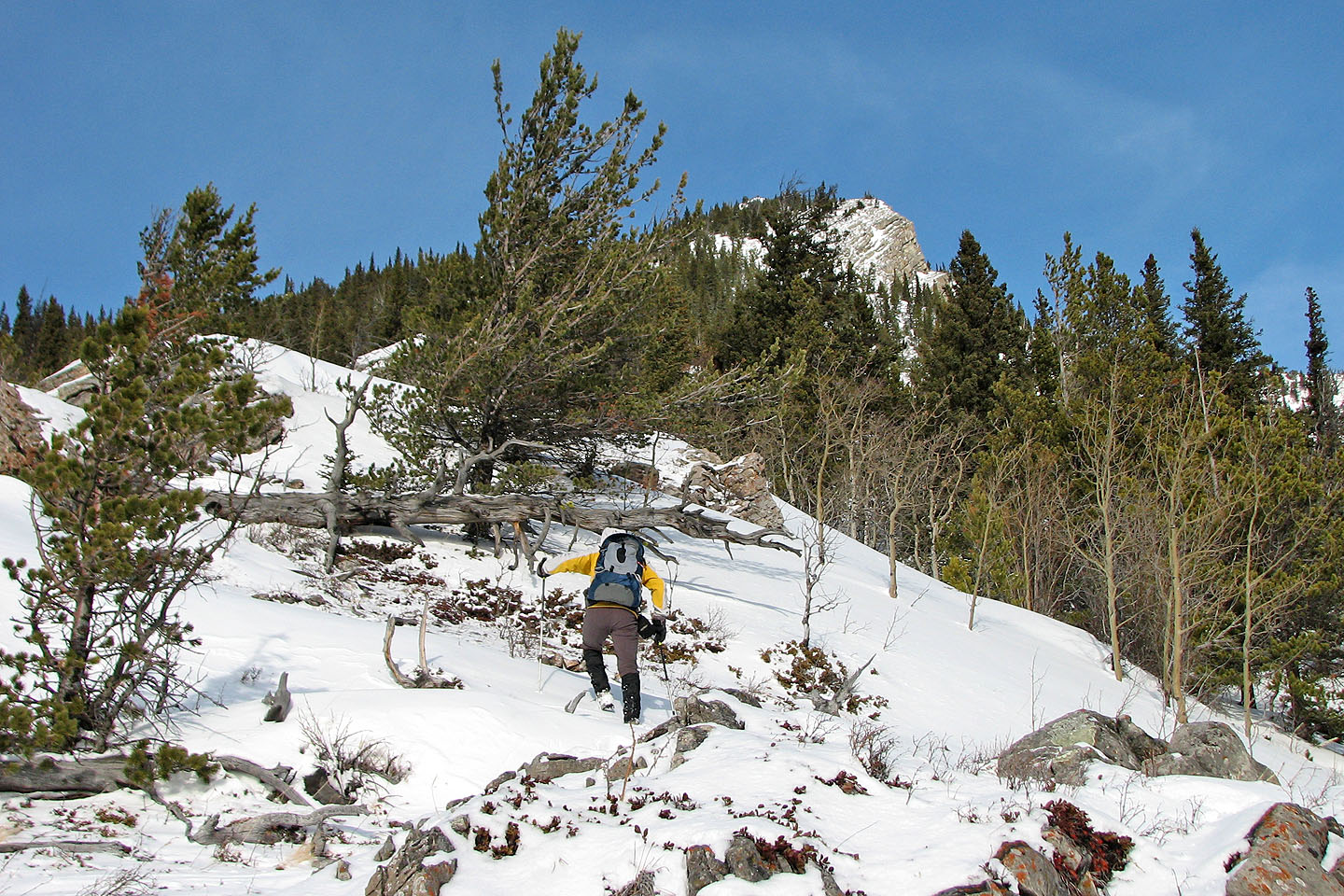
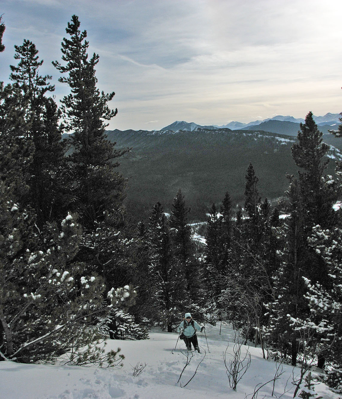
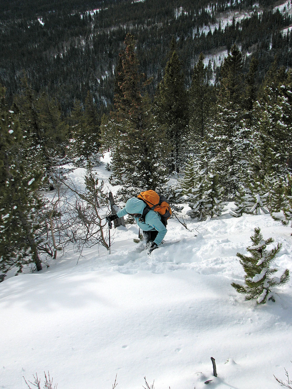
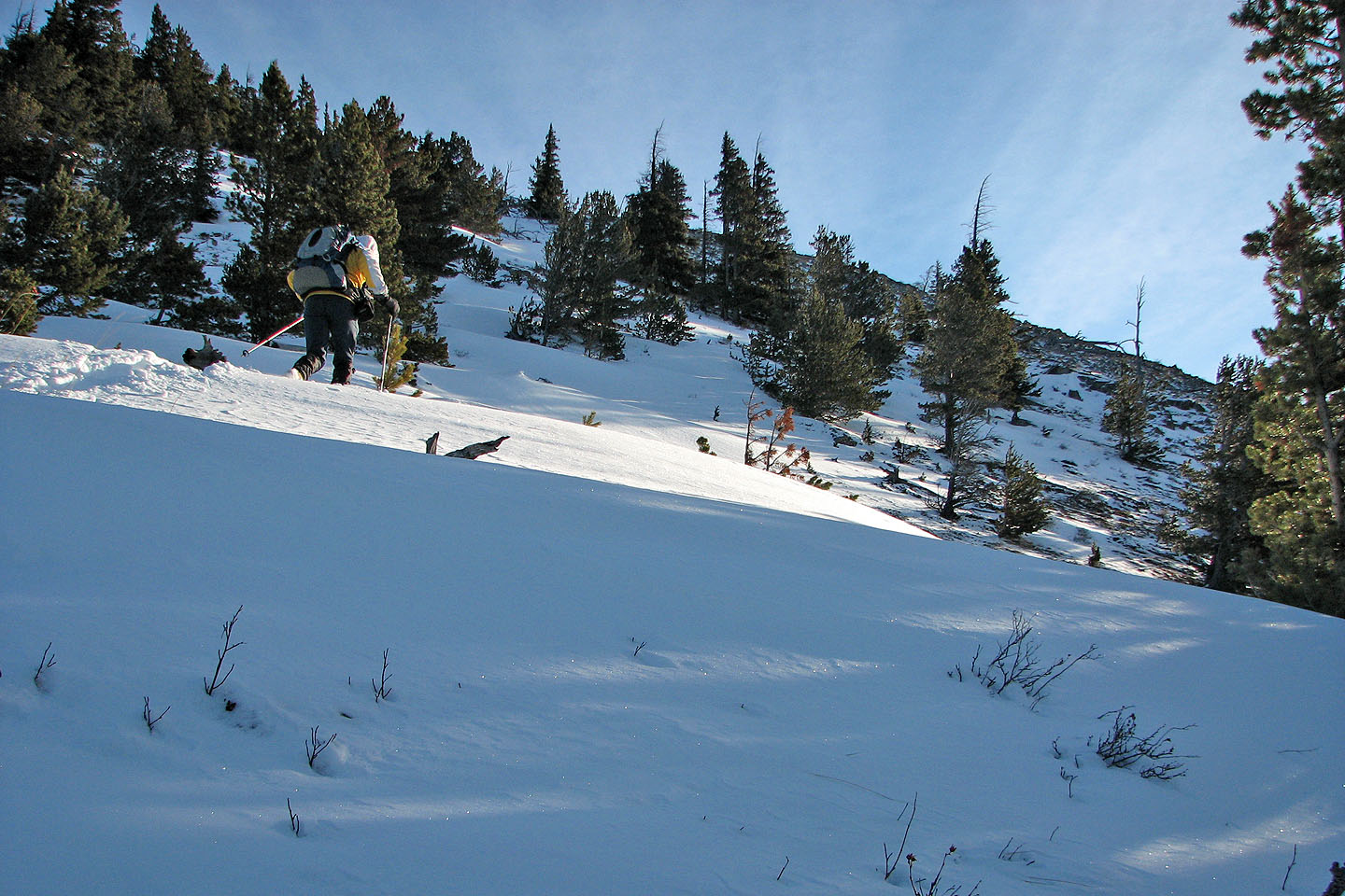
We hiked up the drainage a short way before gaining the southwest ridge. At first the ridge was semi-open, but we soon headed into trees. As we climbed, the snow became deeper, thigh-deep in some places, and our ascent slowed. After climbing 400 vertical metres with 200 m to go, it was apparent we wouldn’t summit and get back down before dark. But our immediate concern was the knee injury Dinah sustained while postholing in the deep snow. We turned back.
The next day, Family Day, I wanted to return to finish the trip. Dinah declined to join me, saying her knee hurt when she used the stairs. I pointed out there were no stairs on Gunnery Mountain, but she wasn't reassured. I would have to climb solo.
Since we had ploughed a path up much of the mountain, it took me only an hour to reach our turnaround point. After that, bogged down by snowdrifts, it was another hour to reach the summit.
Along the way, I came across fresh cougar tracks that headed up the ridge. I wondered about the wisdom of following them up, but it seemed unlikely that the big cat would stop or double back. I followed the tracks up the ridge for 20 minutes before they finally dropped over the right side about 200 m before the summit. I continued to the top.
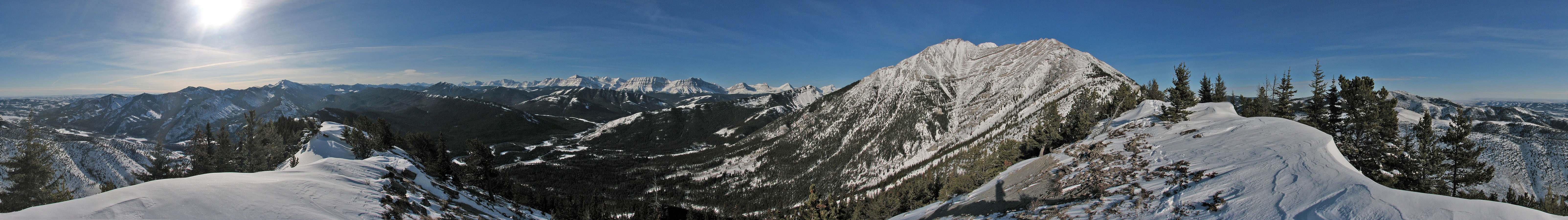
I spent several minutes taking pictures and looking around. The blue sky and dazzling snow made for great scenery. Gunnery Mountain may not be very high but it offers great winter scenery. A longer trip can be made by traversing the mountain.
Gunnery Mountain (mouse over to view the route)
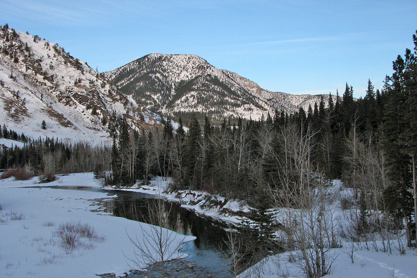
Starting up the creek
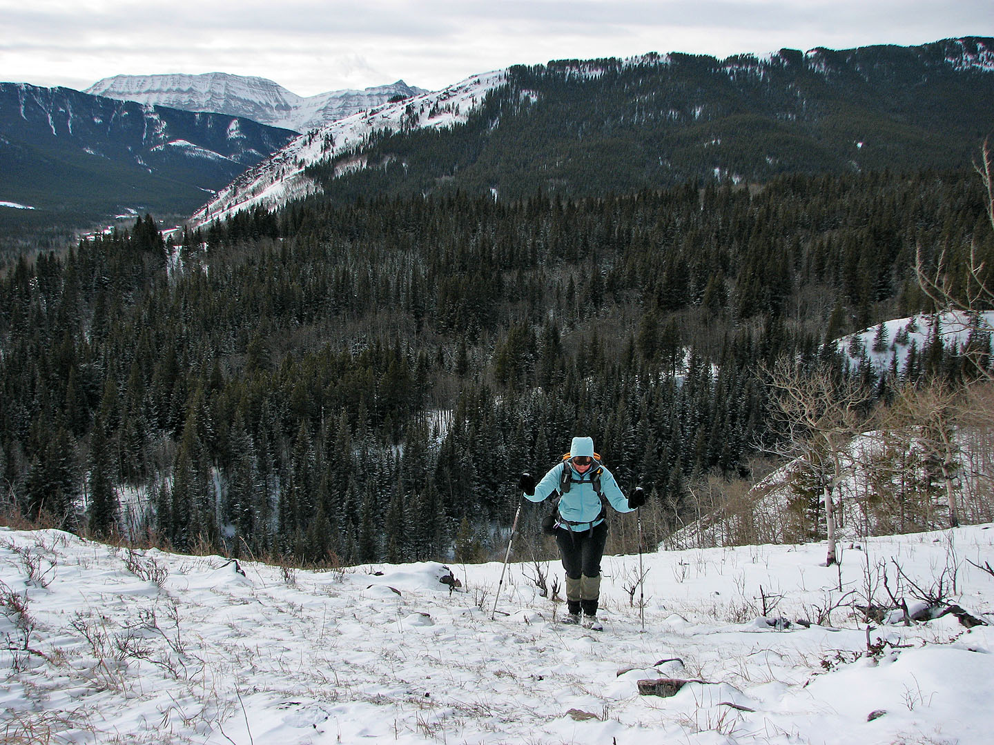
We soon reached the open slopes above the creek
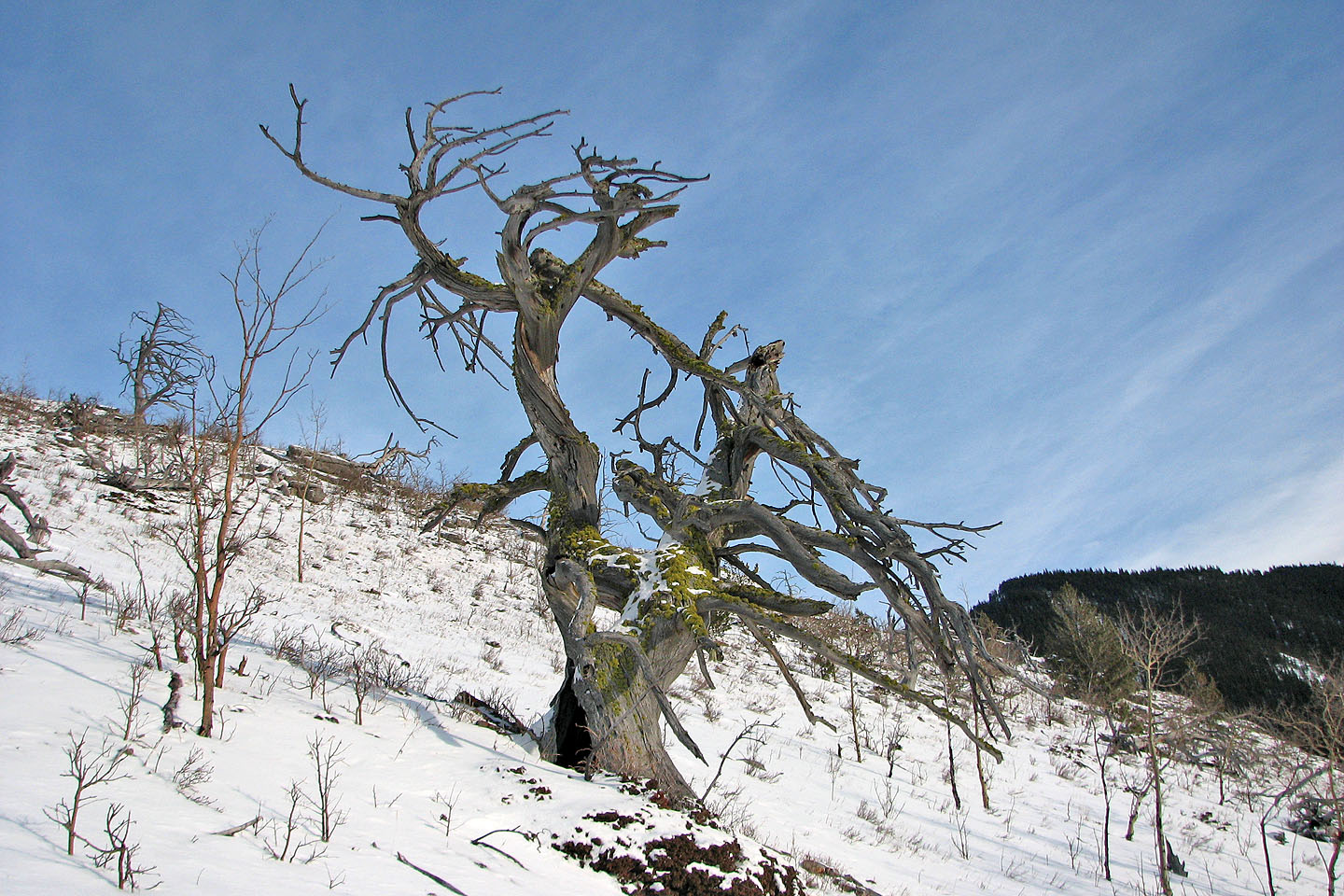
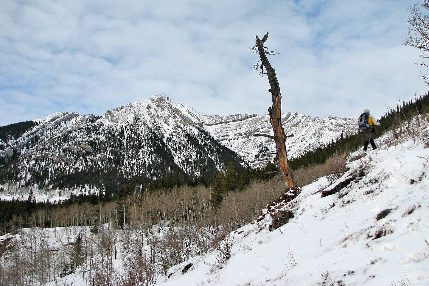
We came across a few dead trees like this one
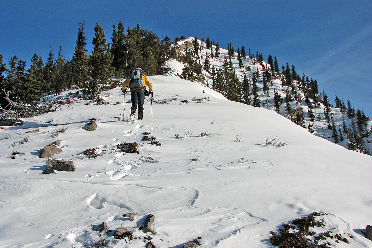
We gained the ridge
The ridge is broad here but later becomes narrower
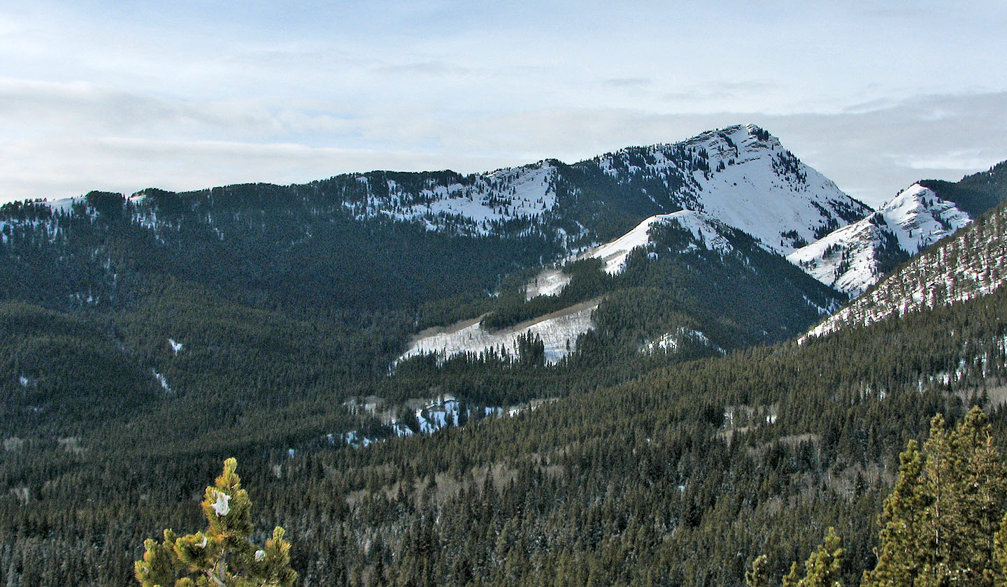
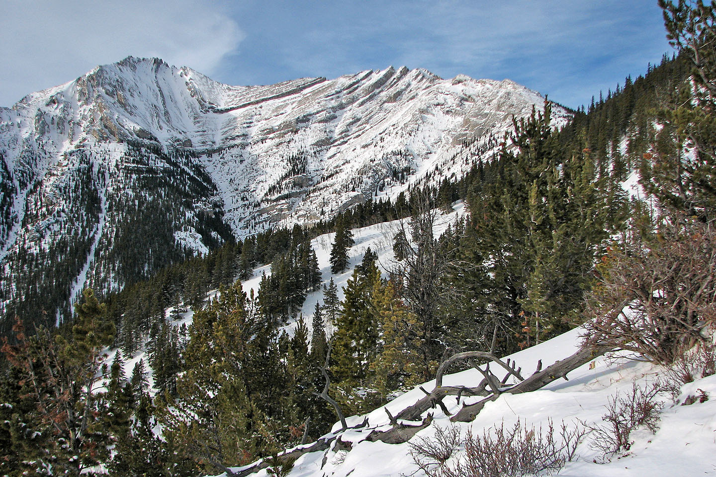
Junction Hill with Stony Ridge in the foreground
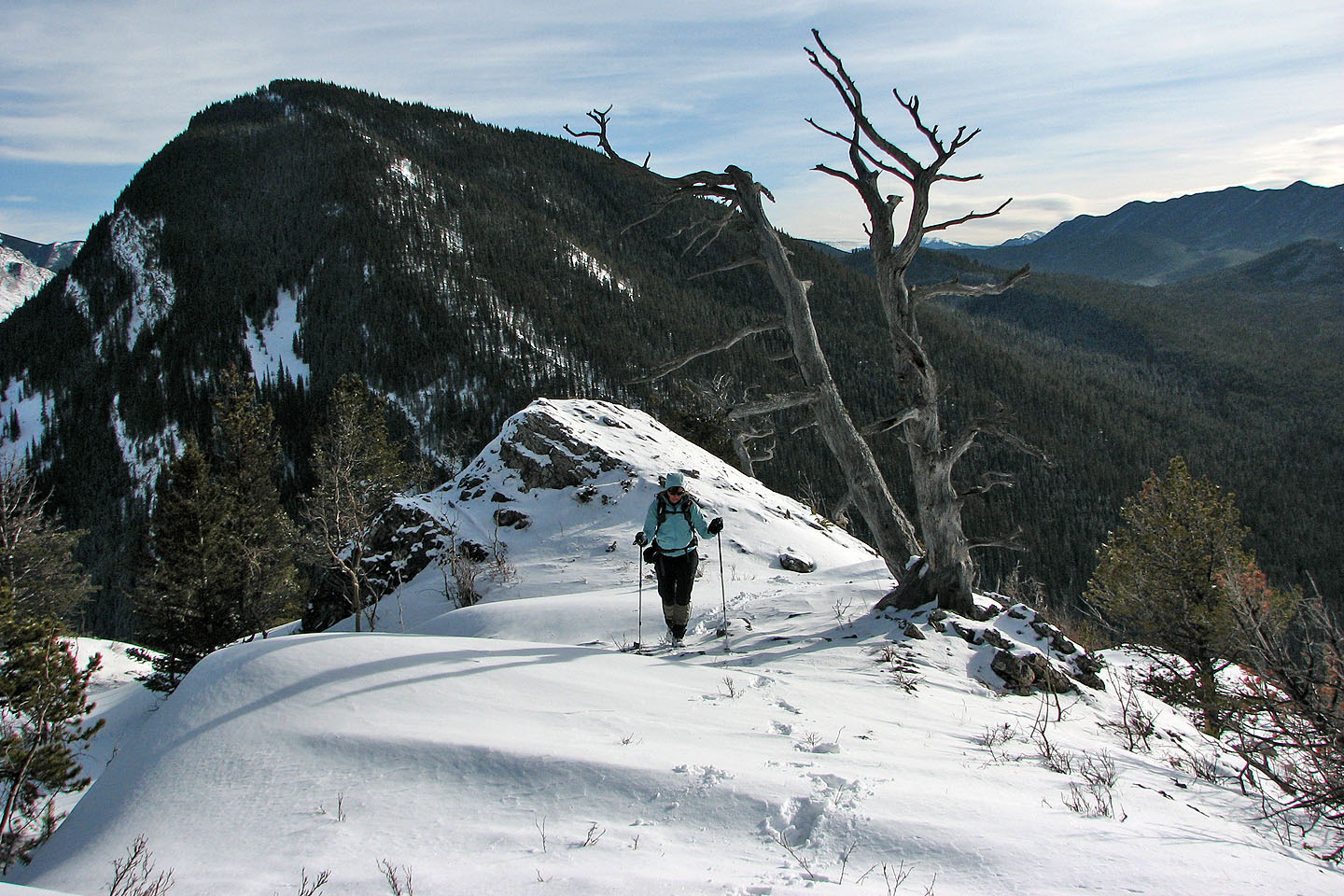
On the ridge
The point on the right is actually a separate ridge
Hell's Ridge in the background
There is little snow at first
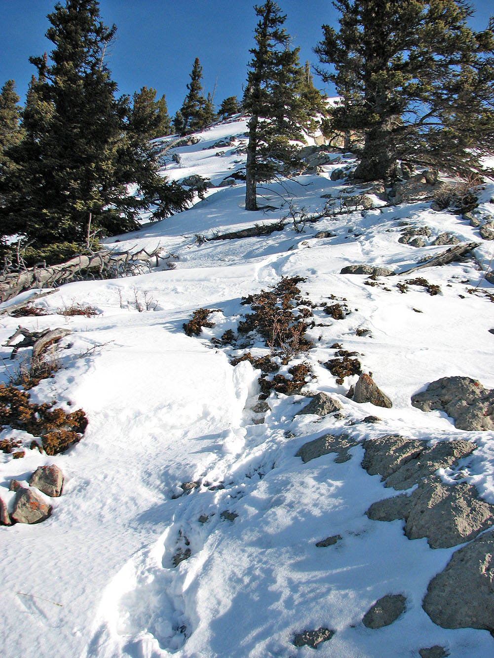
Higher up we encountered deeper snow
And more snow!
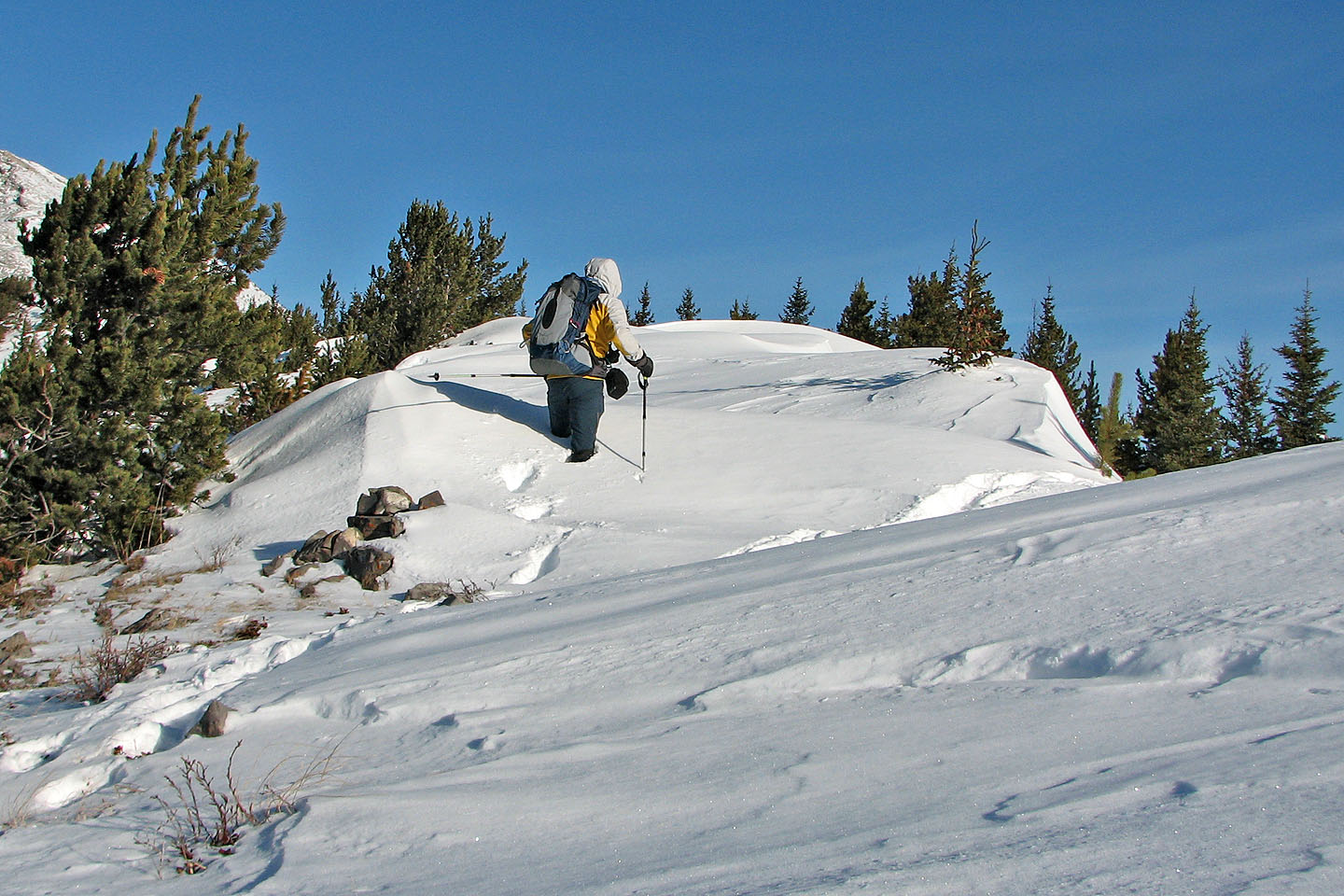
This is as far as we got
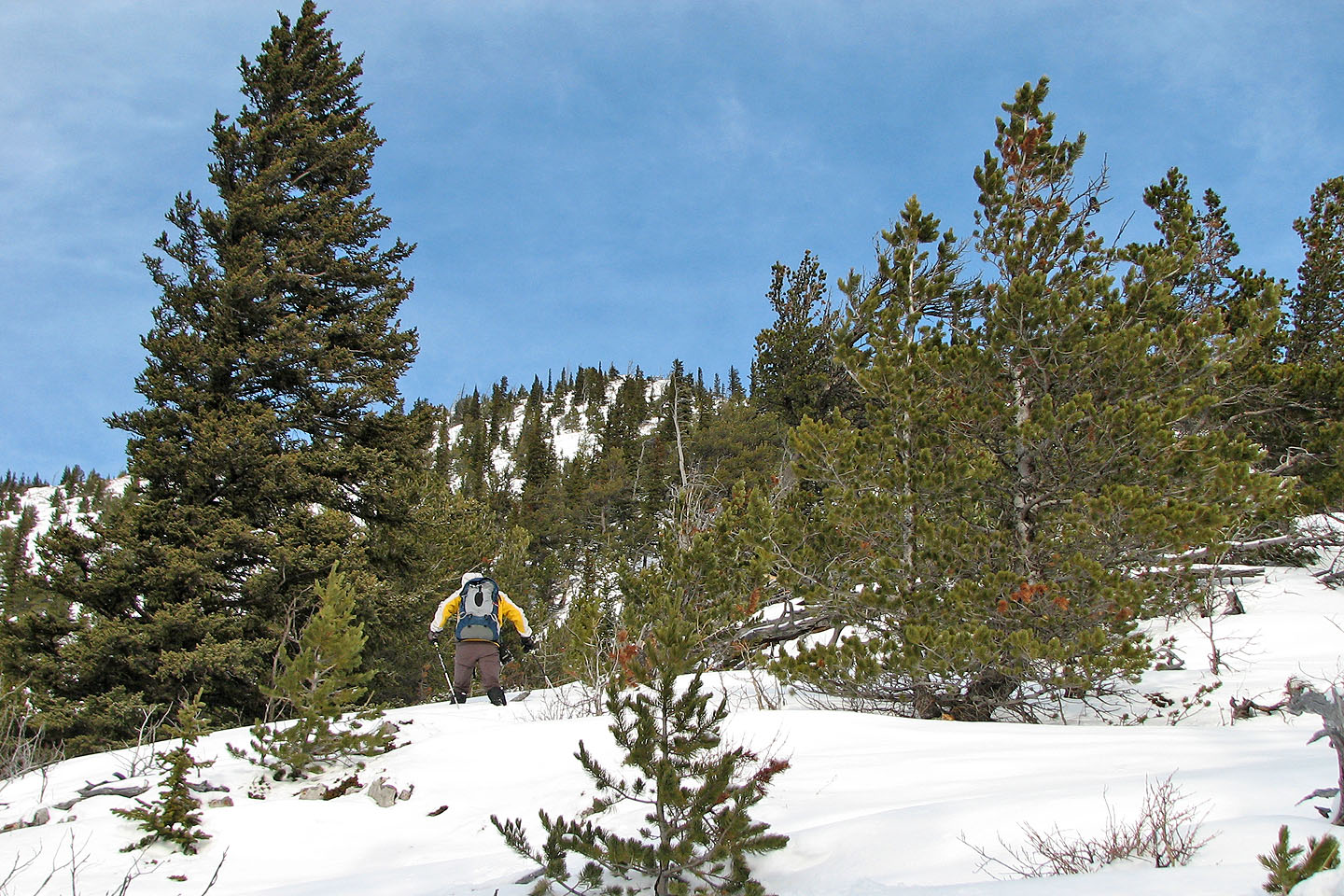
The next day I picked up the route where we left off
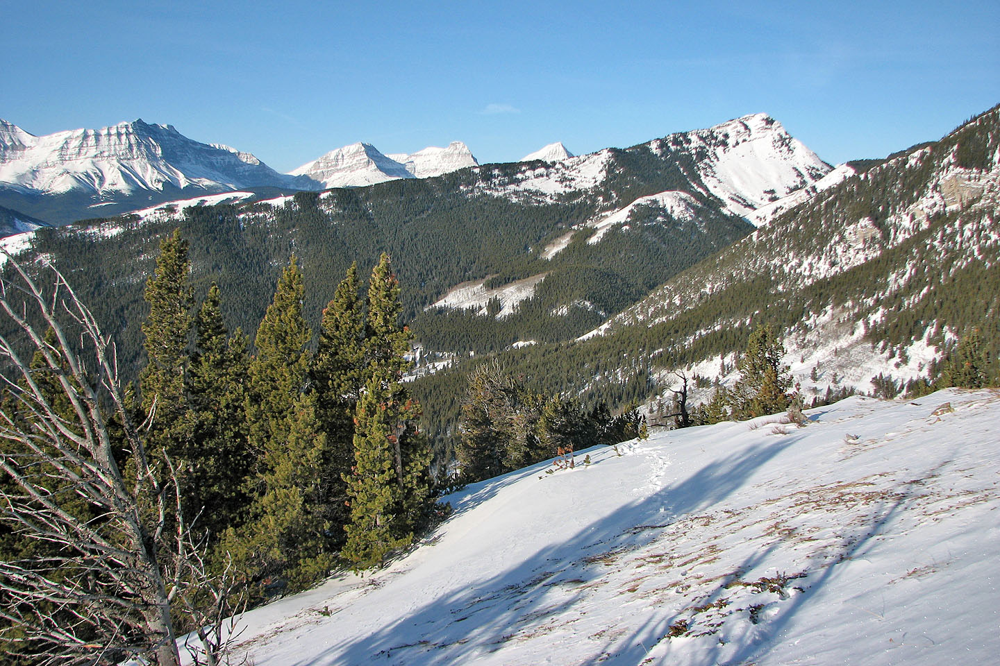
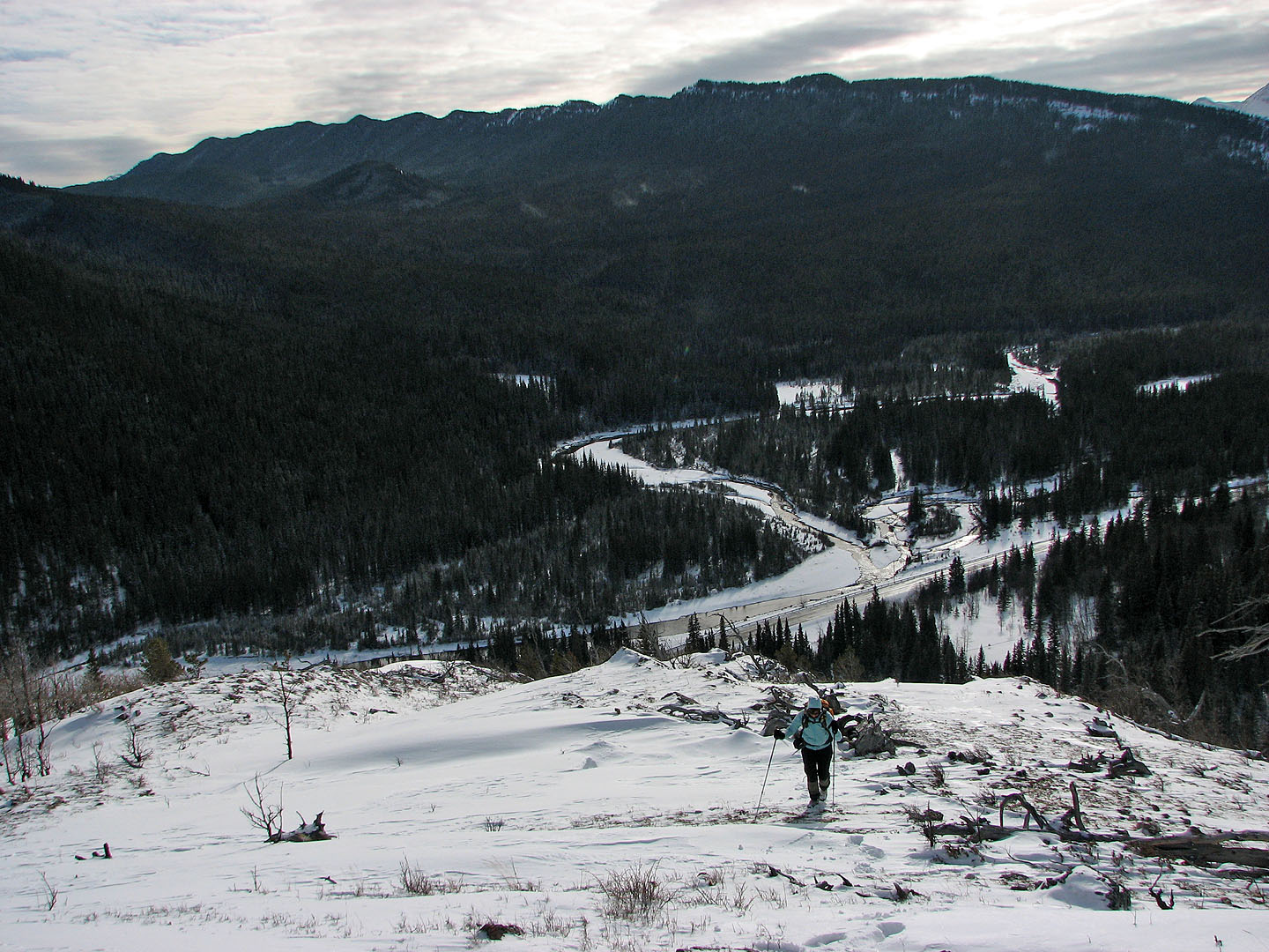
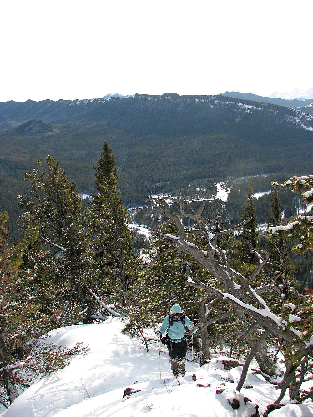
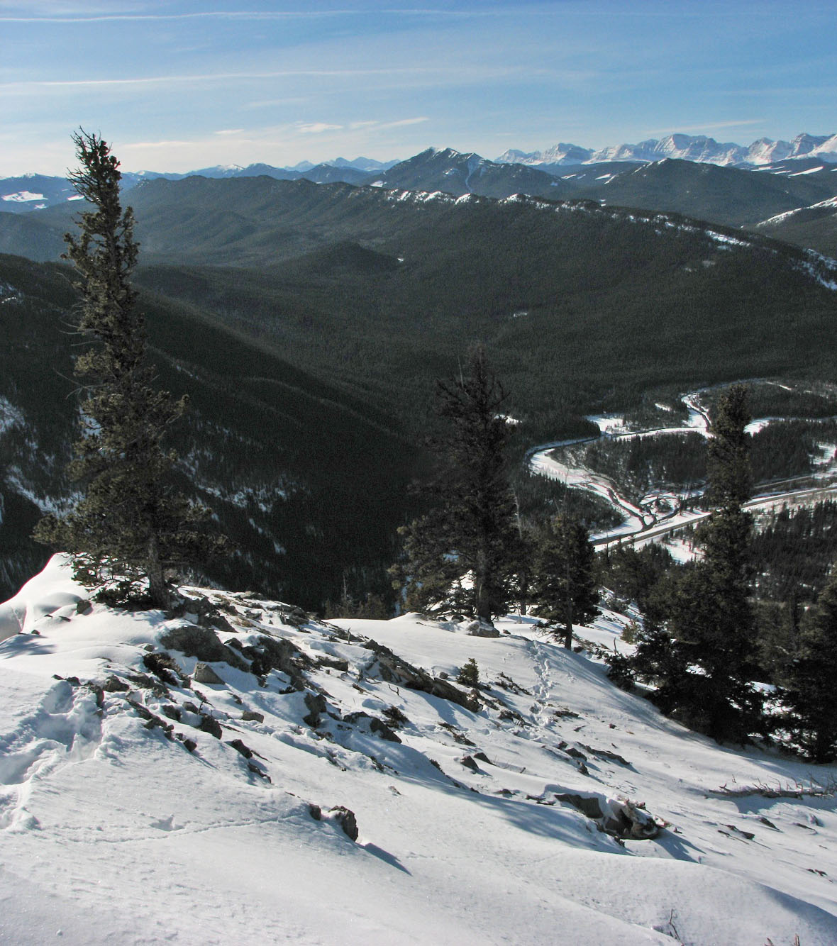
View to the west
I hit deep snow in the trees after this point
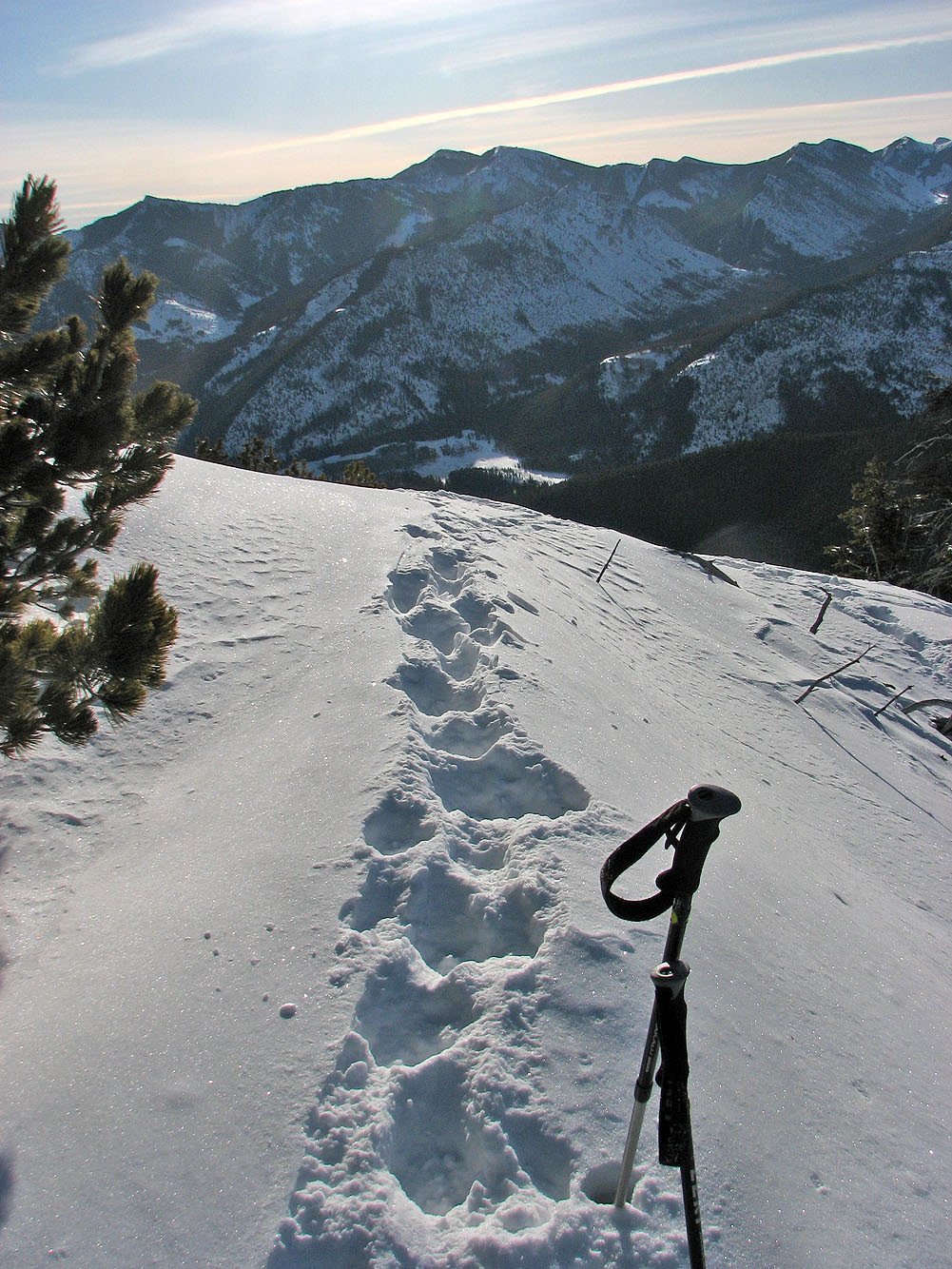
Looking southeast towards Miller Creek Hills. Those tracks aren't mine;
they're fresh cougar tracks (mouse over).
The tracks followed the ridge for a considerable distance
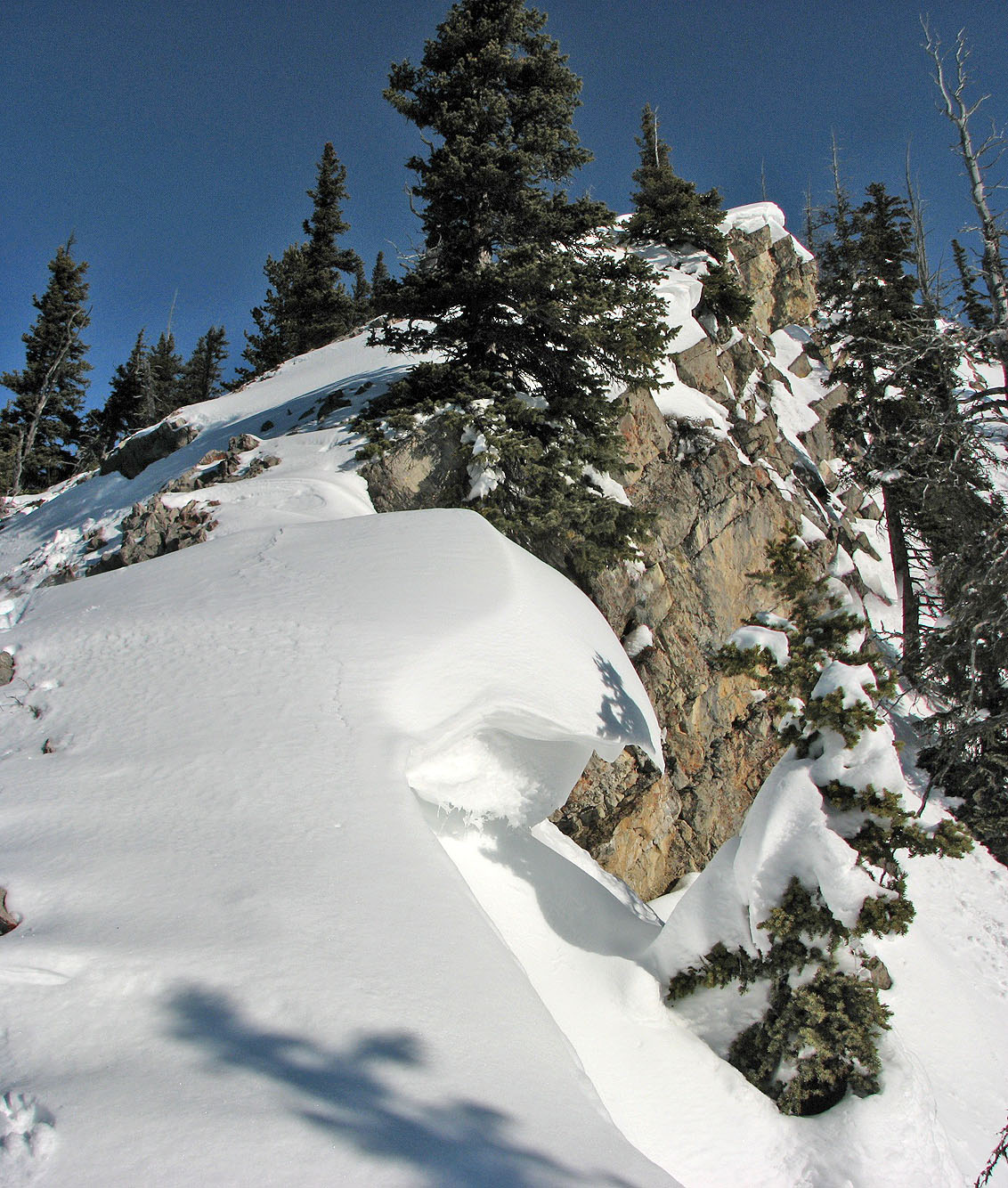
Small cornice
Looking back
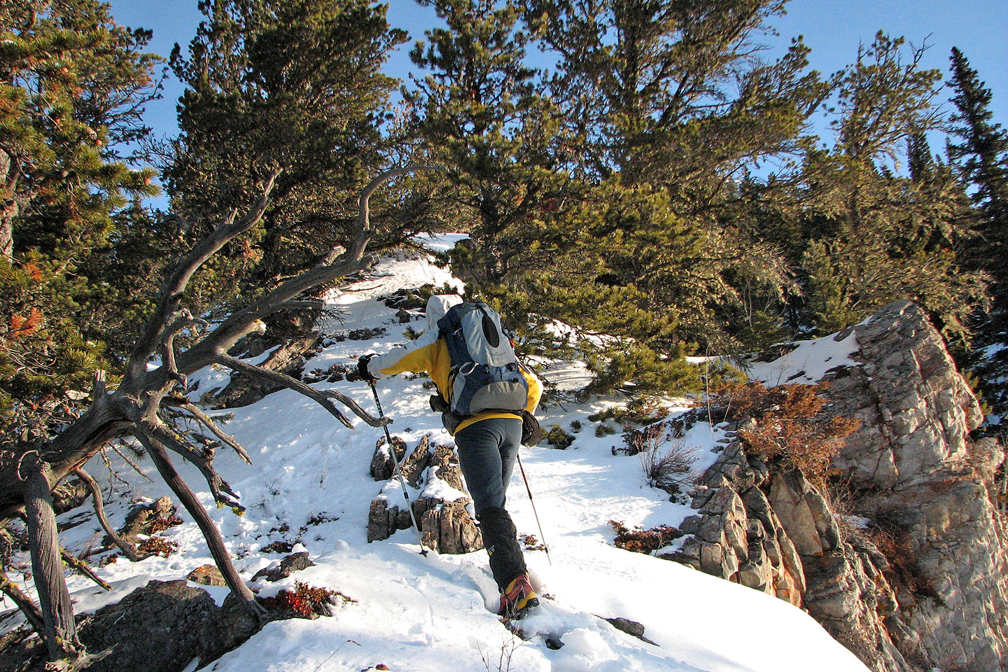
The cougar tracks dropped down the right side of the ridge here while I continued on to the summit
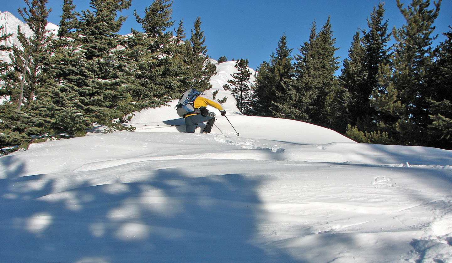
For the next 200 m I encountered plenty of deep snow. With a cornice on the right side and
trees or steep rock slabs on the left, I was often forced to tackle the drifts head on.
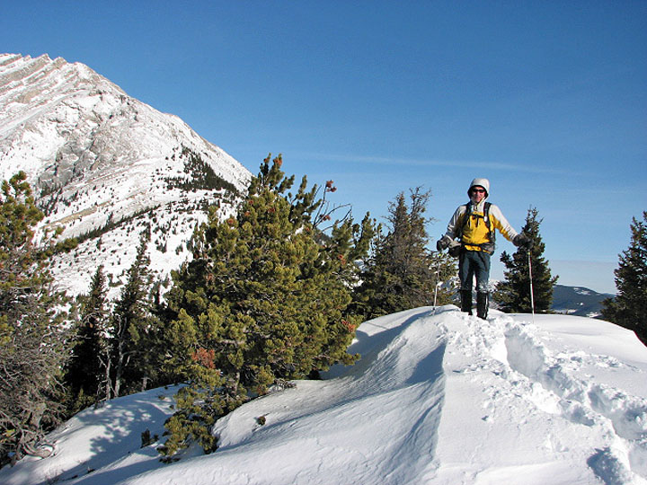
On the summit
82 J/7 Mount Head