bobspirko.ca | Home | Canada Trips | US Trips | Hiking | Snowshoeing | MAP | About
Gunnery Mountain Traverse
Kananaskis, Alberta
June 12, 2021
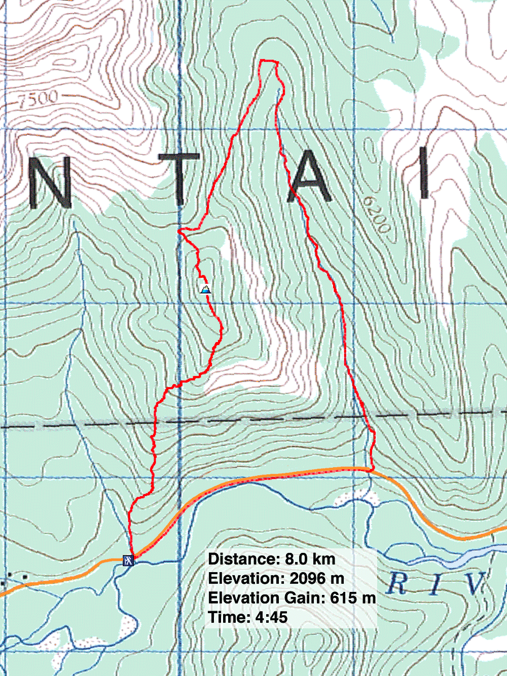
Distance: 8.0 km (5.0 mi)
Cumulative Elevation Gain: 631 m (2070 ft)
My hike up Gunnery Mountain was different this time. Instead of a wintery, out-and-back trip, I did a loop trip in dry conditions. Zora and I climbed the south ridge, went over the summit and came down the east slope. We finished by descending Gunnery Creek trail. Other than having trouble finding paths, it was a fine excursion.
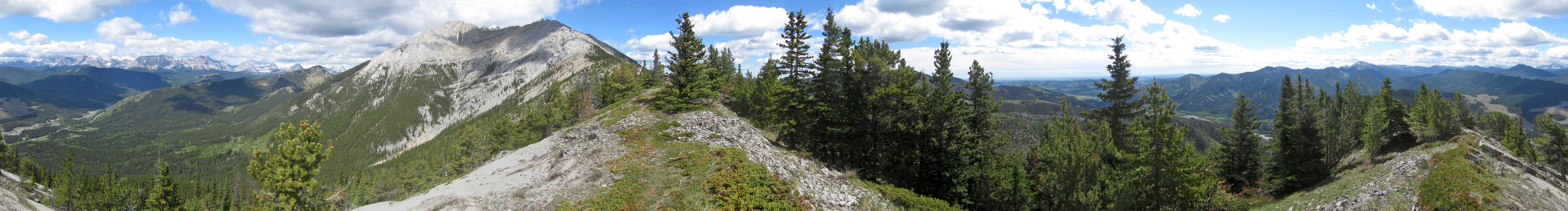
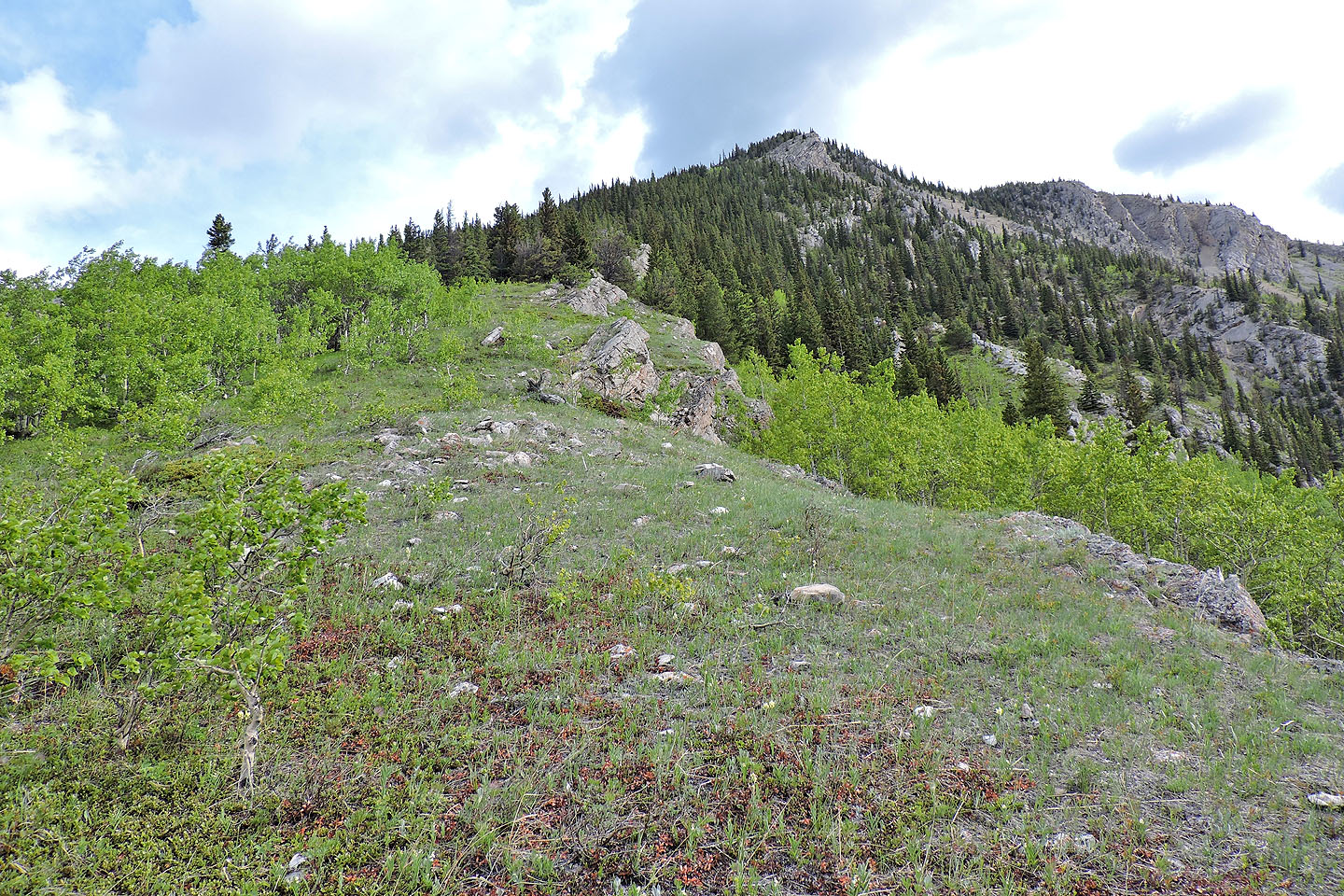
We parked at the side of the highway and started up a trail on the east side of the creek. We kept to the trail, although it might be better to leave it and quickly gain the ridge. The trail ended at the edge of a grassy slope, and we faced a steep climb up to the ridge crest. After that, we followed paths in the trees, although they had a habit of vanishing in meadows. The trails kept left of the ridge top where travel was easy, and we soon arrived on the summit.
After a short stay, we continued to The Notch, the col separating Gunnery Mountain from Holy Cross Mountain. We didn't find a trail, but we had no trouble making our way through a thin forest to The Notch. There, we found a trail and started down it. But we took a wrong turn below The Notch. We realized our error and dropped a bit to catch the correct trail running parallel 40 m below it. This trail was better worn and flagged. We followed it to the valley and bushwhacked 100 m to Gunnery Creek trail. When we reached the highway, we faced a 1.5 km walk back to the car.
I realize now why Gillean advises “NOT” to do the loop clockwise; the route is hard to follow. We missed the trail on the east slope as well as the trail going down to The Notch. Maybe someday I'll return to do it right and climb Gunnery Mountain counterclockwise!
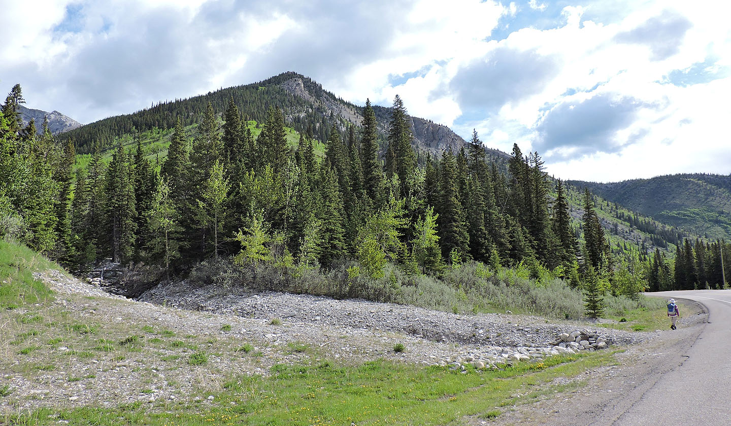
The trail begins in the trees on the east side of Gunnery Creek
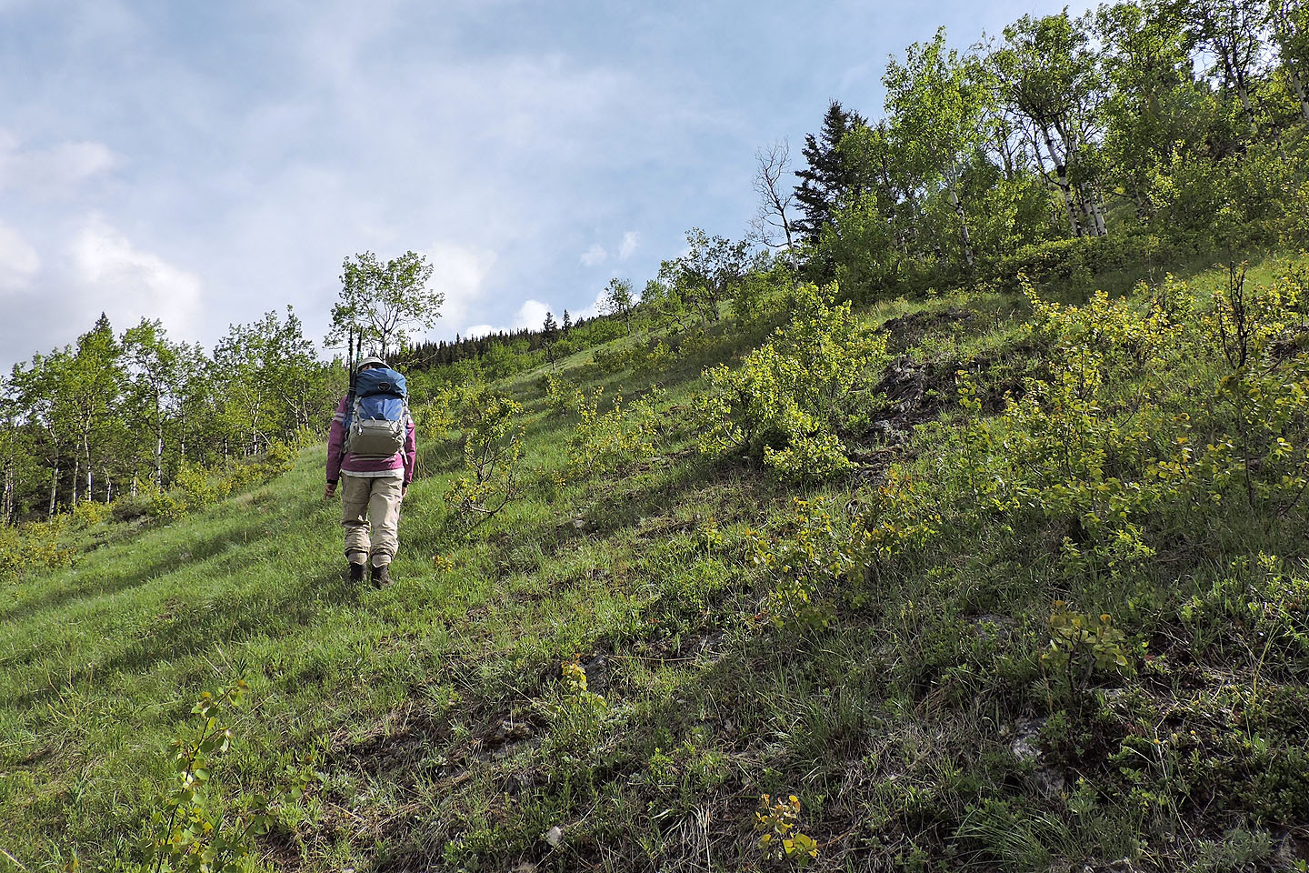
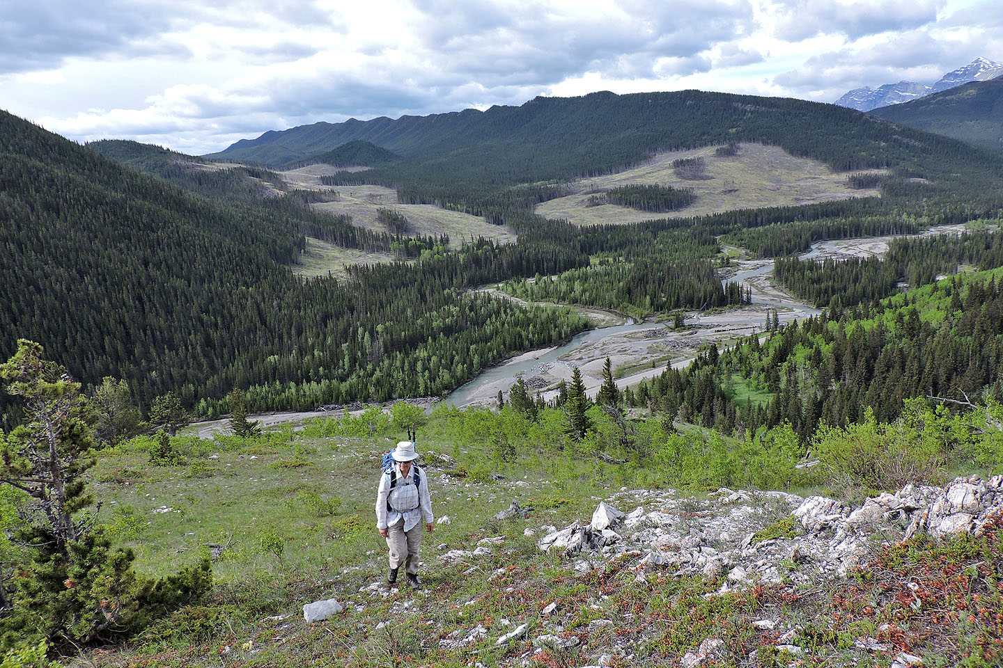
When the trail ended we climbed an open slope to the ridge
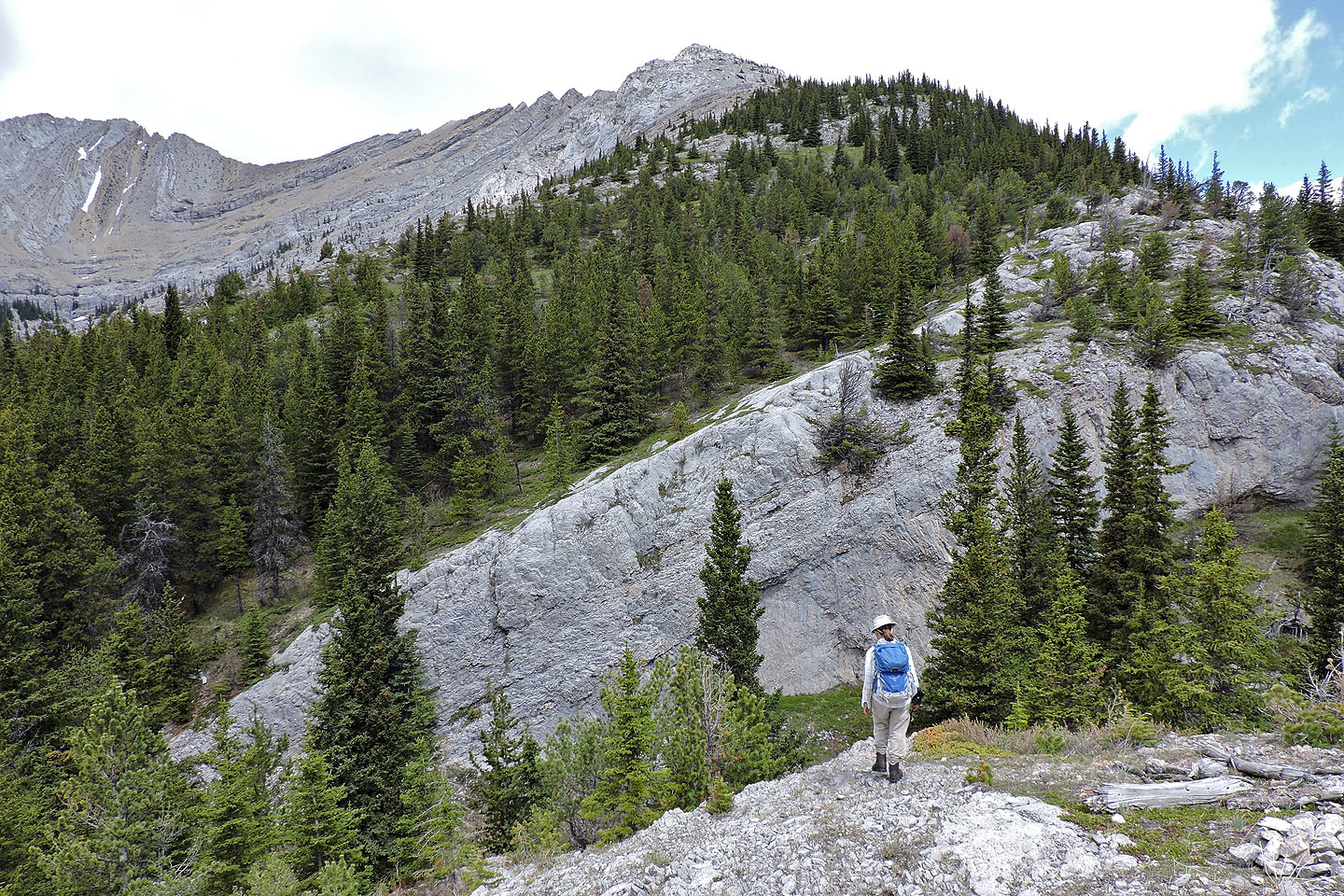
Looking along the ridge
Behind us, Hell's Ridge stretches across the skyline
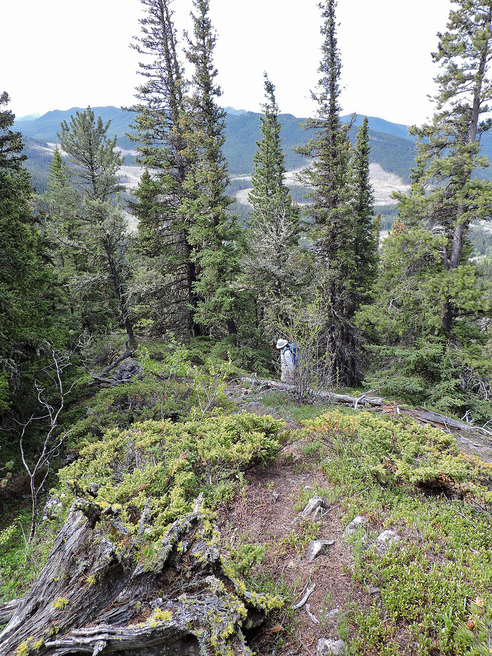
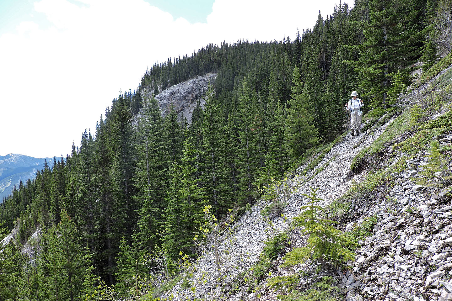
For much of the hike, the trail remained in trees

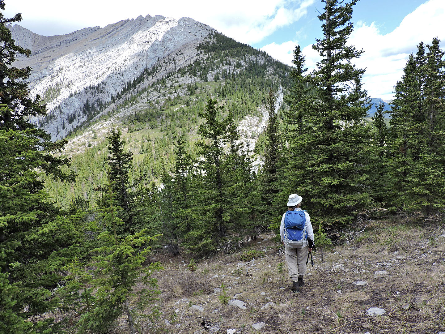
Before we reached the rocky crest ahead, we came across a trail in the trees
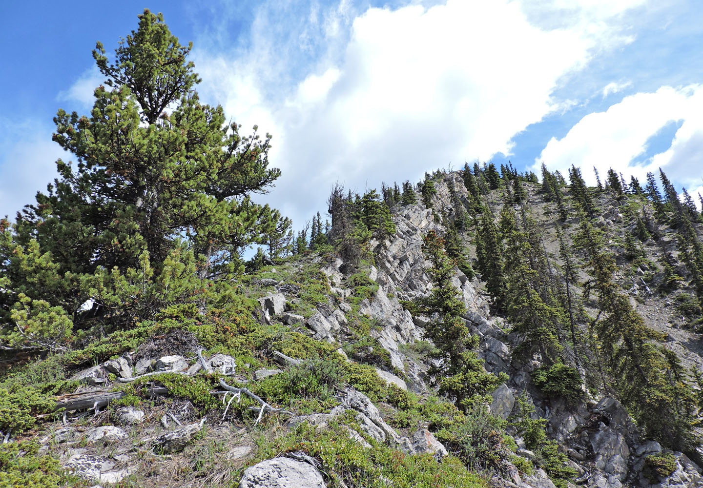
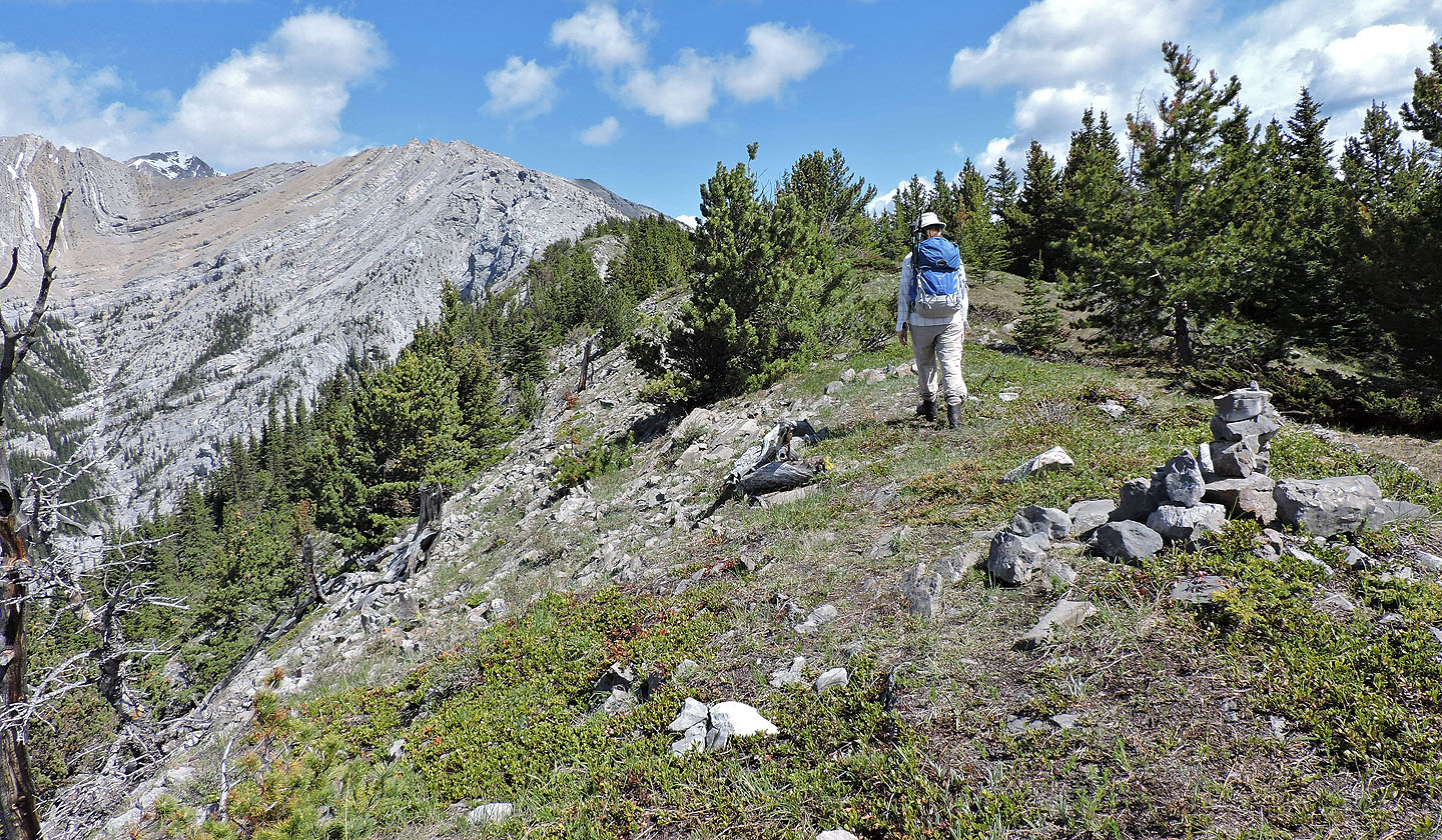
I stepped off the trail to look up the ridge
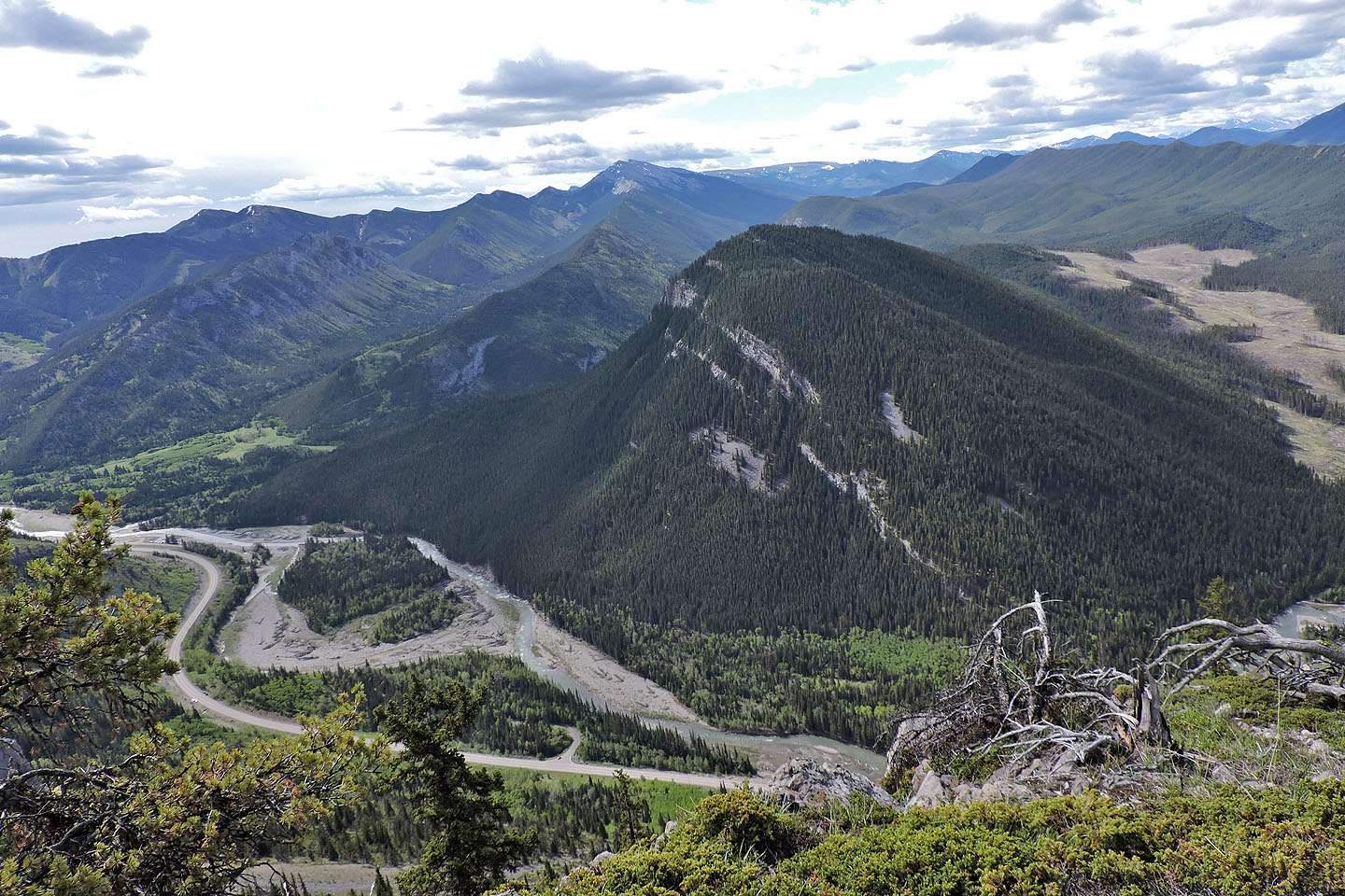
Behind us is Mount Mann
We finally saw the summit 300 m away
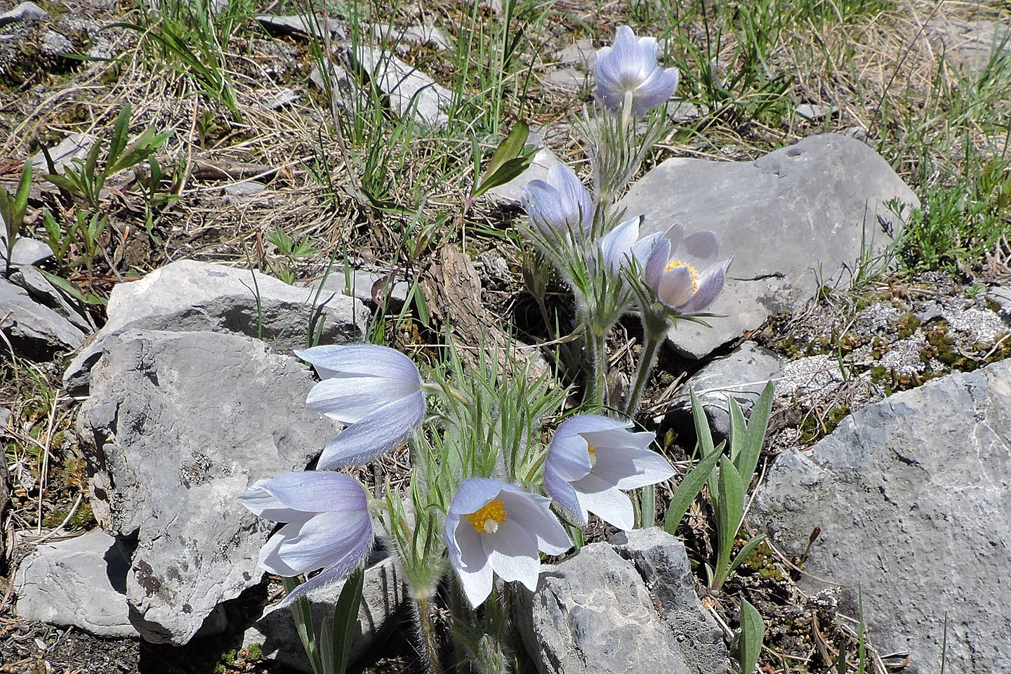
Prairie crocuses flourished on the summit
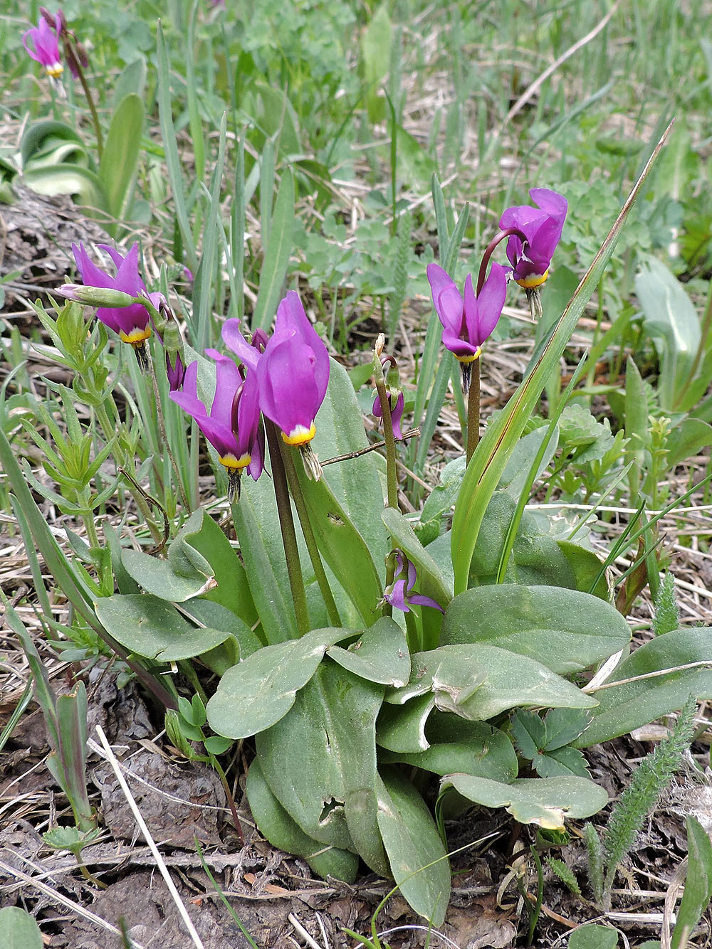
There were also shooting stars
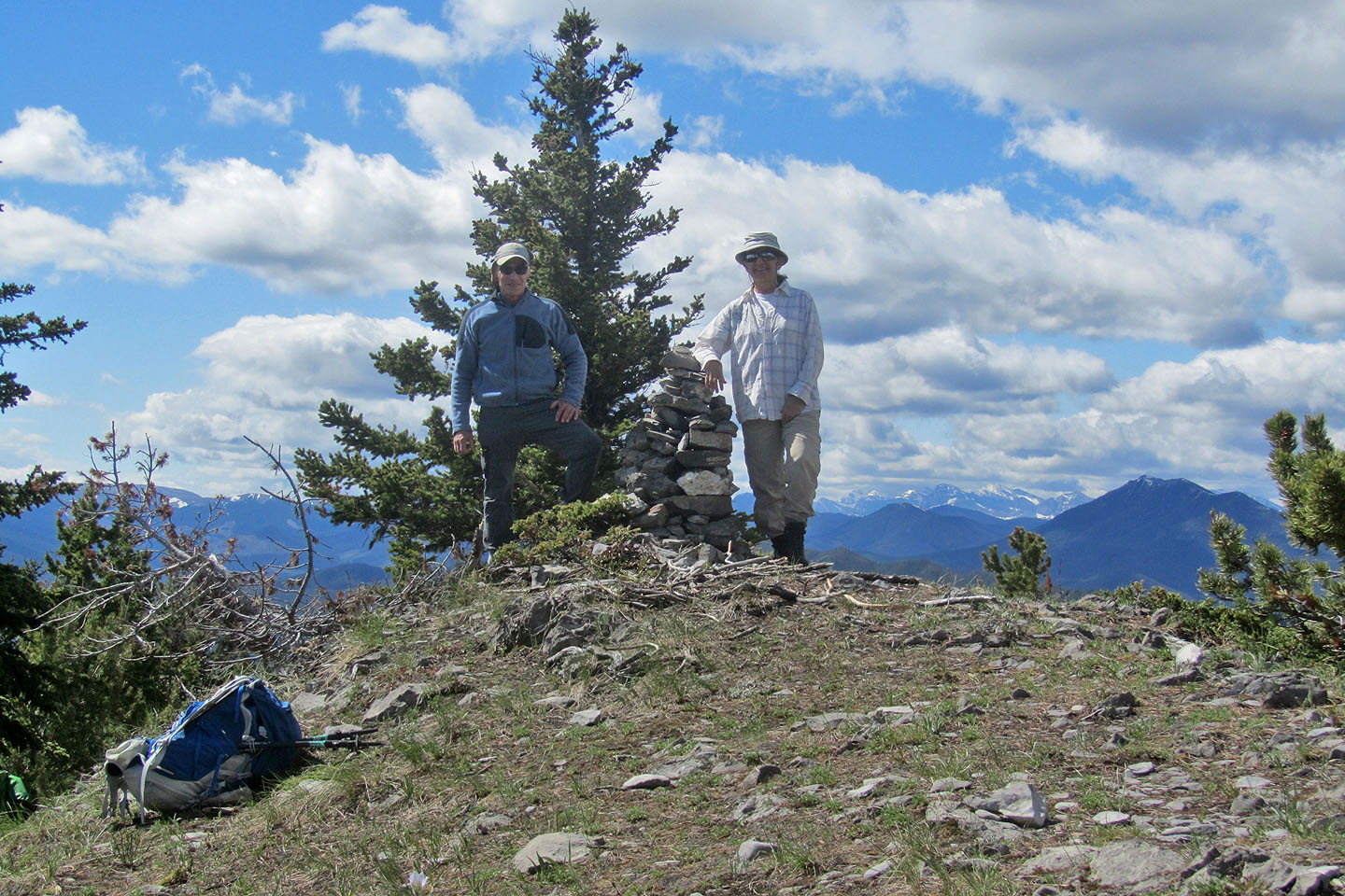
Standing by the summit cairn
From the summit, we headed to The Notch
Coming to The Notch
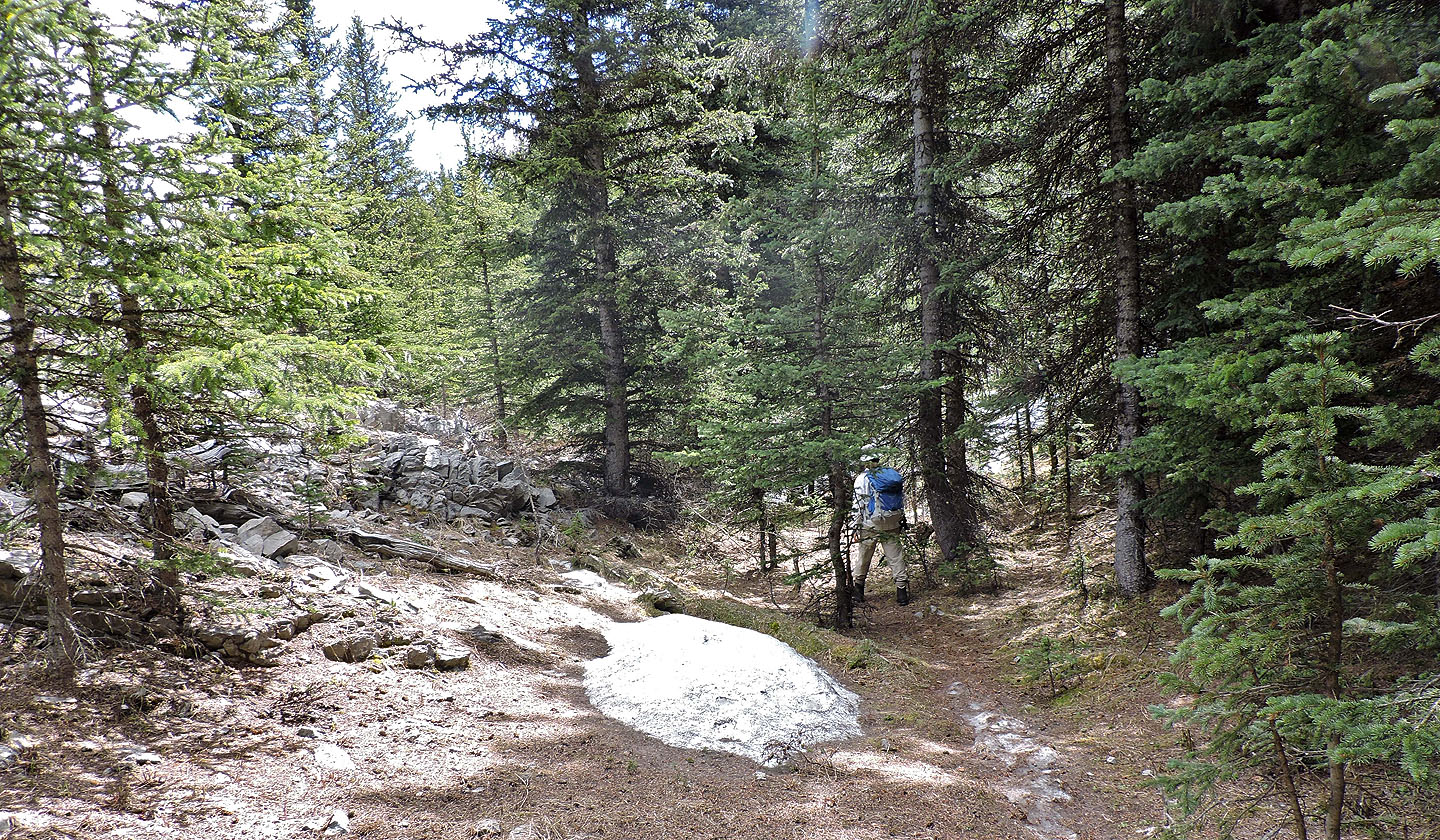
We passed lingering snow in The Notch
The trail turned left and began dropping
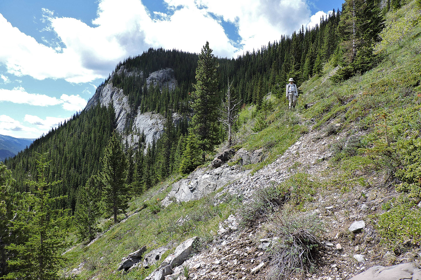
 We followed a trail etched into the slope
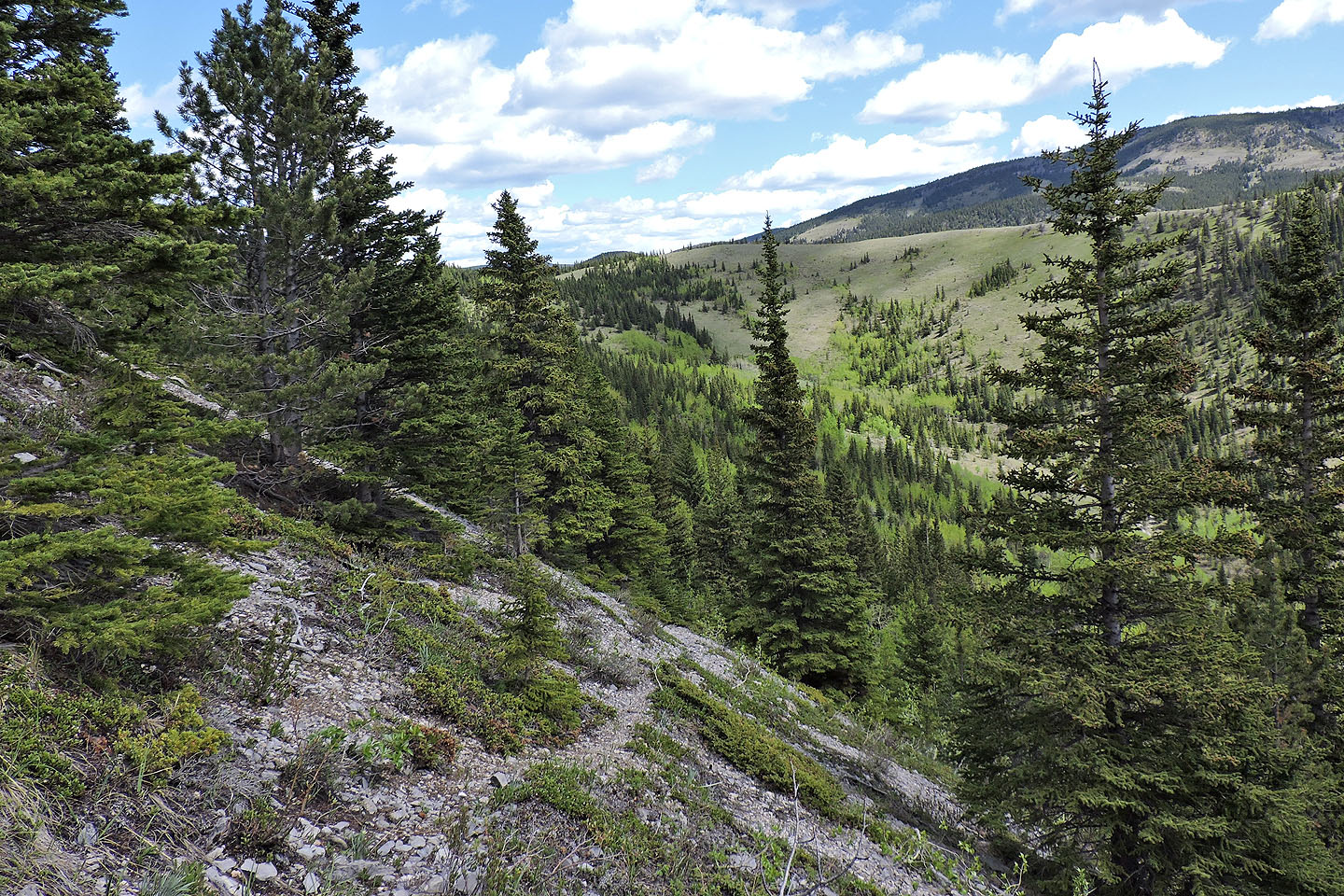
Continuing down the trail
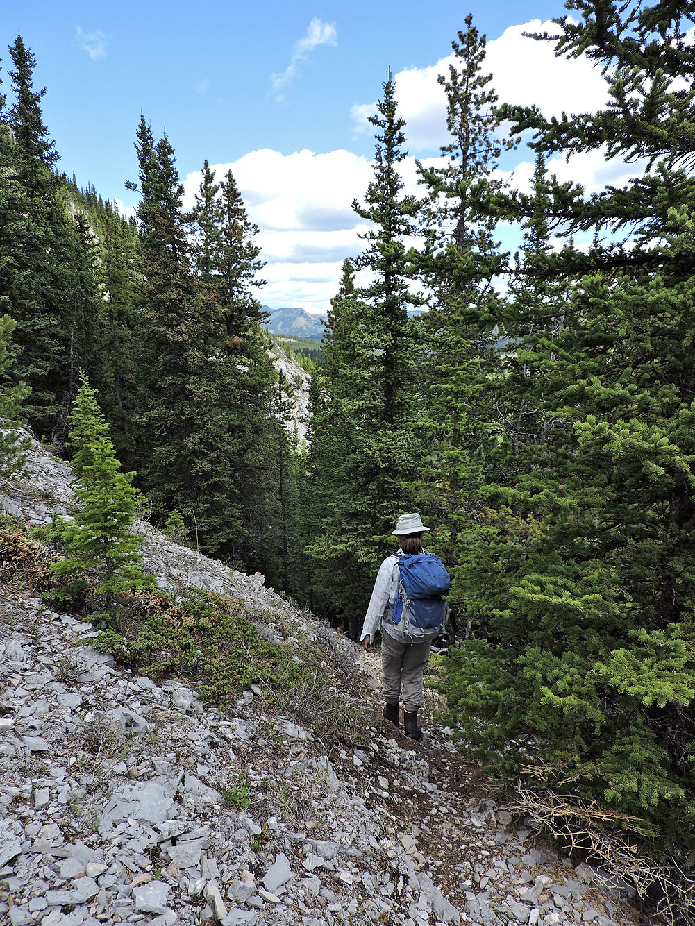
The trail became sketchy here, so we dropped down a short distance to find the correct trail
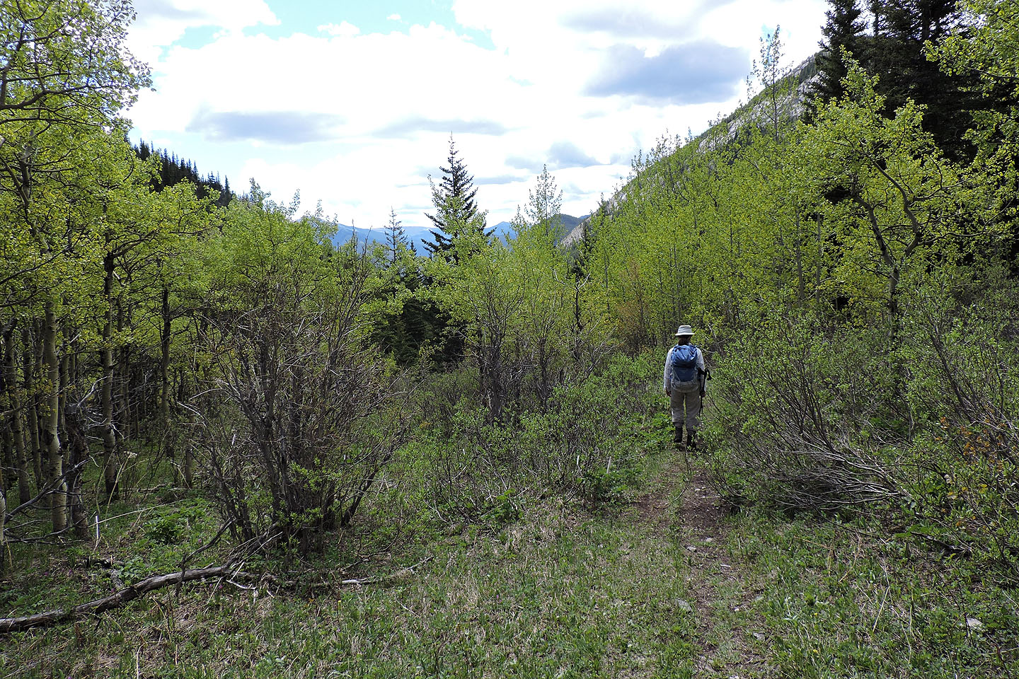
We followed Gunnery Creek trail to the highway
82 J/7 Mount Head