bobspirko.ca | Home | Canada Trips | US Trips | Hiking | Snowshoeing | MAP | About
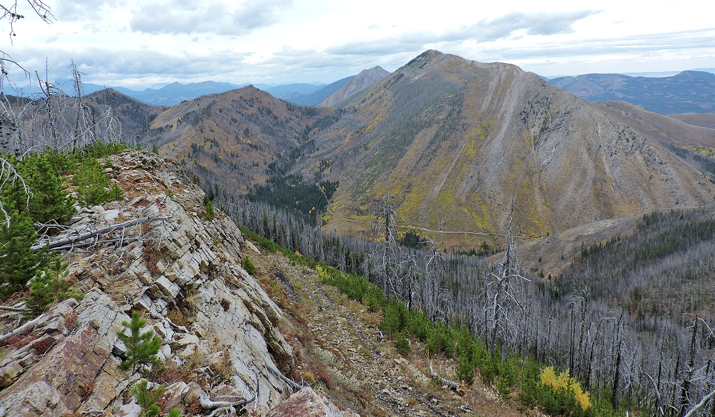
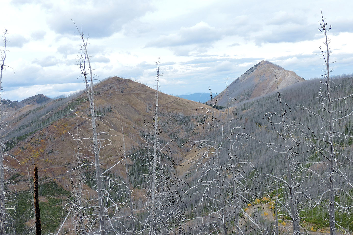
 View from Spades Peak
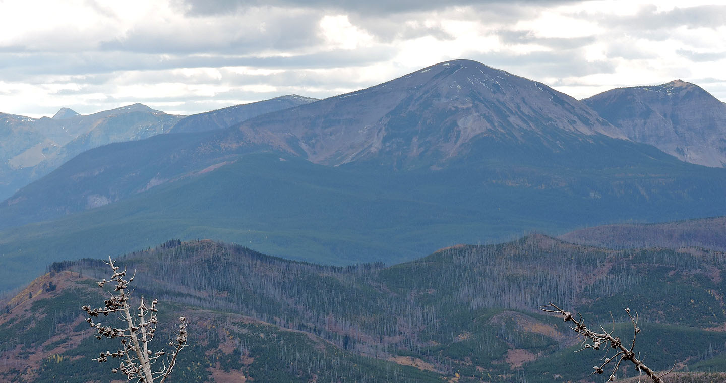
Spades Peak and Clubs Peak
Crowsnest Pass, Alberta
September 30, 2017
Distance: 8.8 km (5.5 mi)
Cumulative Elevation Gain: 396 m (1299 ft)
Flushed with success after climbing Hearts Peak in the spring, I returned to deal with the easier Spades and Clubs Peaks. These high points on Hastings Ridge are practically a walk in the park. Gentle approaches on back roads coupled with modest elevation make these among the easiest connected peaks we've climbed.
In hindsight, Dinah and I could have made our hike even easier by driving our SUV all the way to the base of Clubs, just 100 m below the summit. But unsure of what to expect on the rough back road, we parked on a curve after driving 500 m. Even so, this only added a kilometre of walking each way. And with hillsides dressed in fall colours, notably yellow aspens, we enjoyed extending our trip. The back road, incidentally, is reached by driving 8.8 km up Adanac Road.
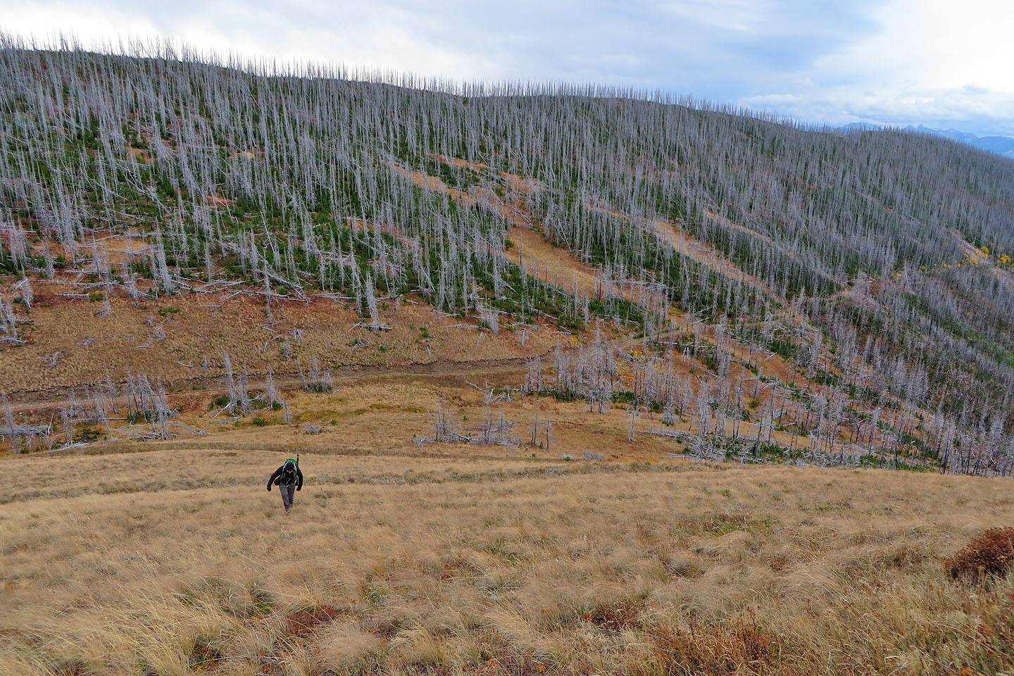
From our car, we walked up the road before turning right onto a side road that runs to the top of Spades. But on reaching the base of the mountain, we eschewed the long switchbacks and hiked straight up a grassy slope to the top. Under leaden skies, summit views appeared somber, and scraggly rampikes marred the views west.
After acing Spades, we set off for Clubs. We backtracked down the road and ascended the peak's open southeast slopes. Like Spades Peak, summit views on Clubs were mediocre. We could’ve extended our trip further by hiking up the nearby high point south, the site of an abandoned mine, but it wasn't in the cards: hunters had claimed it, banging away with their rifles. We nervously descended Clubs while they were shooting just a few hundred metres away. We couldn't see them in the trees, but we hoped they weren't aiming in our direction. We were glad to get out of there, glad to get back to our car.
There is no Diamonds Peak in the area – we're not playing with a full deck here – but there is another monticule that follows the playing-card theme. You can bet we'll be back to climb Poker Peak.
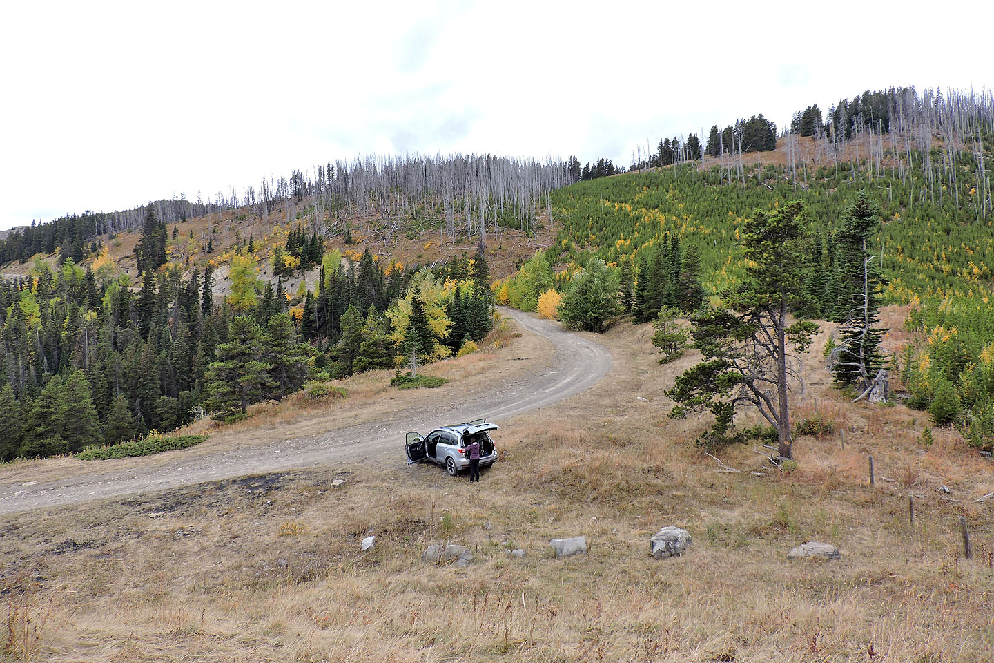
We parked on a bend 500 m up the road
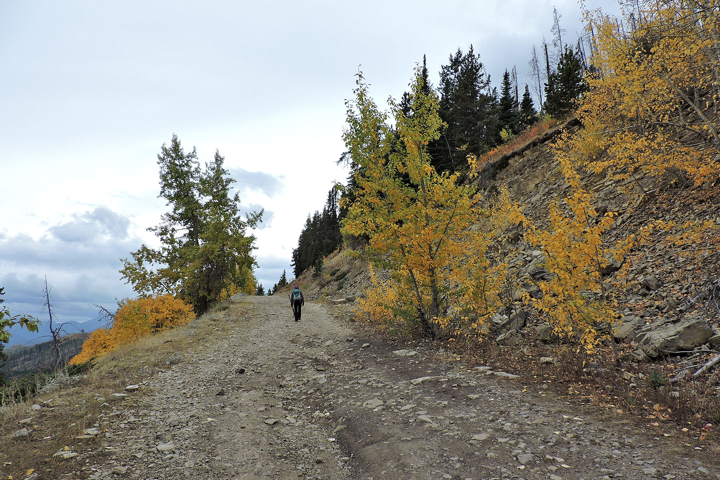
Hiking up the road
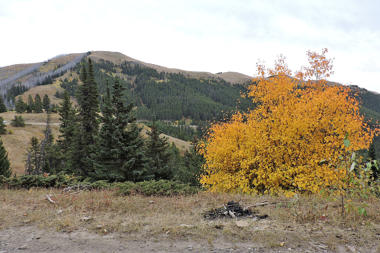
Poker Peak lies east
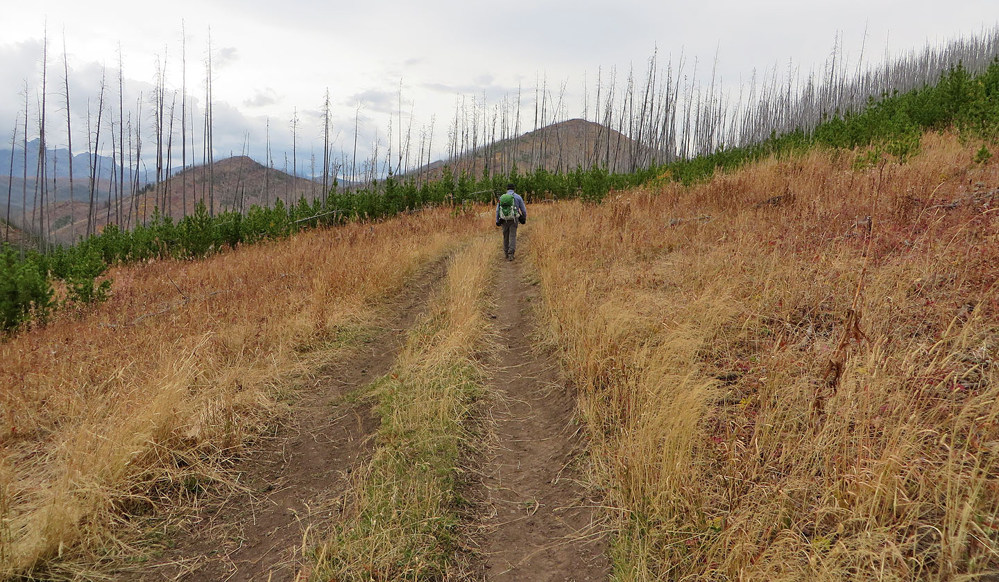
When the road swung left, we exited it and followed a trail on the right (not the shortcut road seen left)
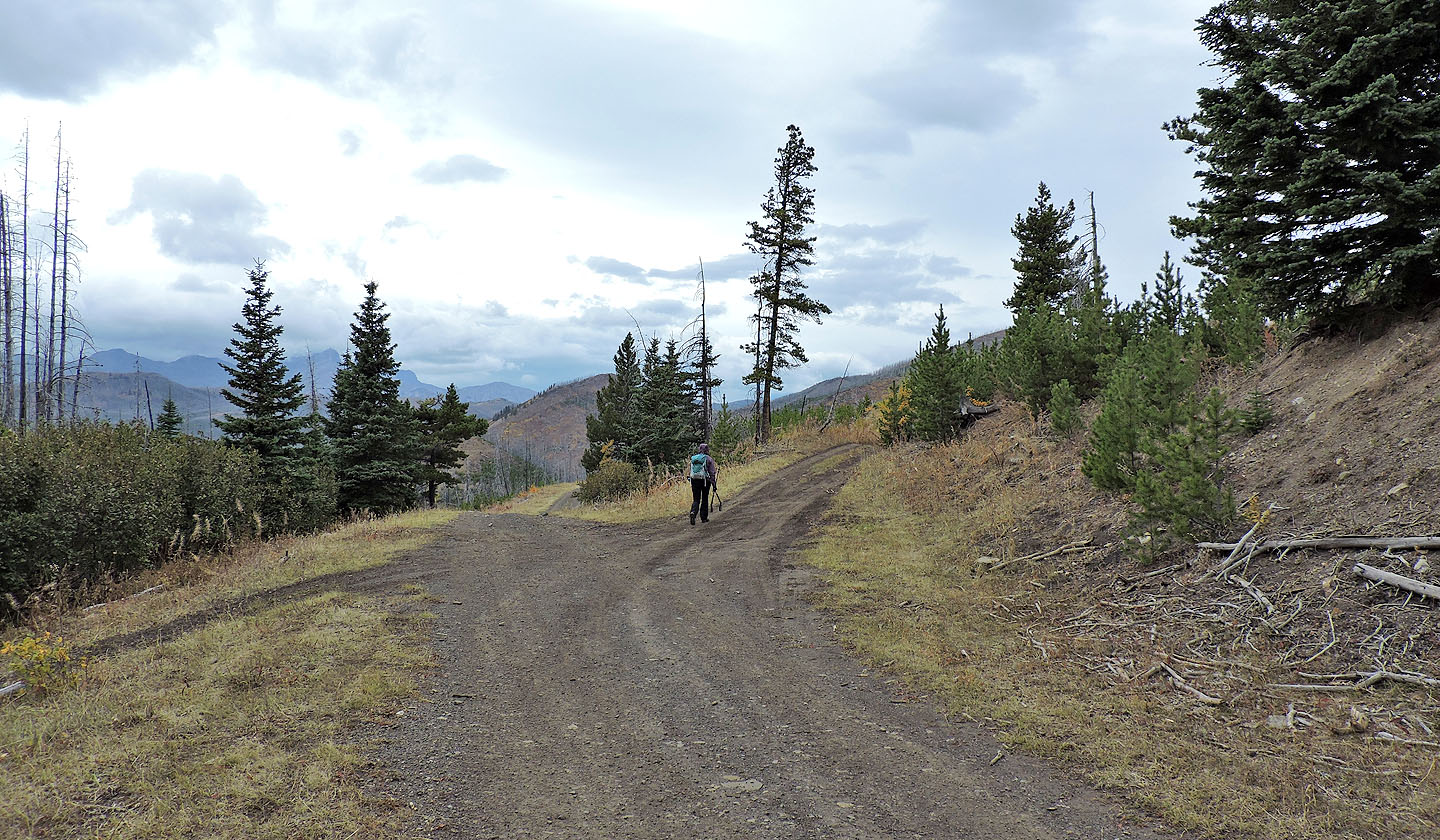
After a bend in the road, we kept right
Spades Peak is now ahead
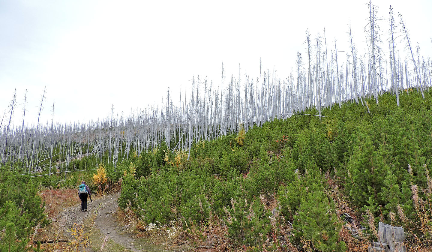
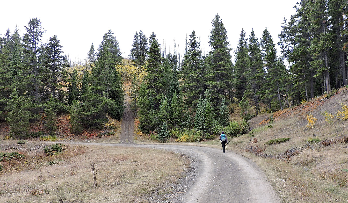
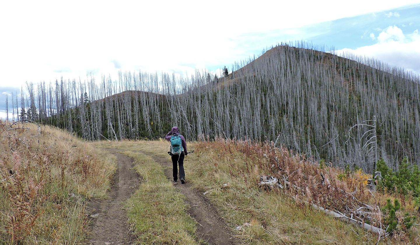
The road is lined with young pine trees growing among dead trees still standing
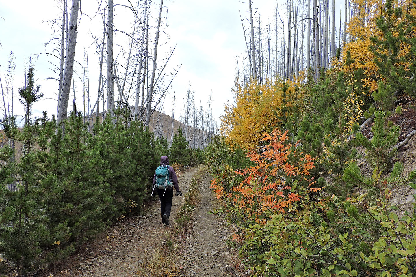
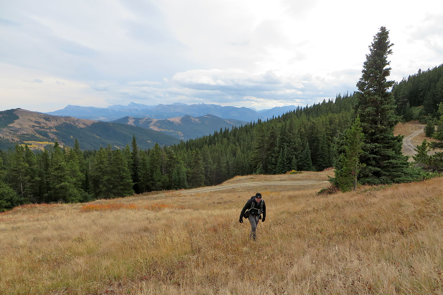
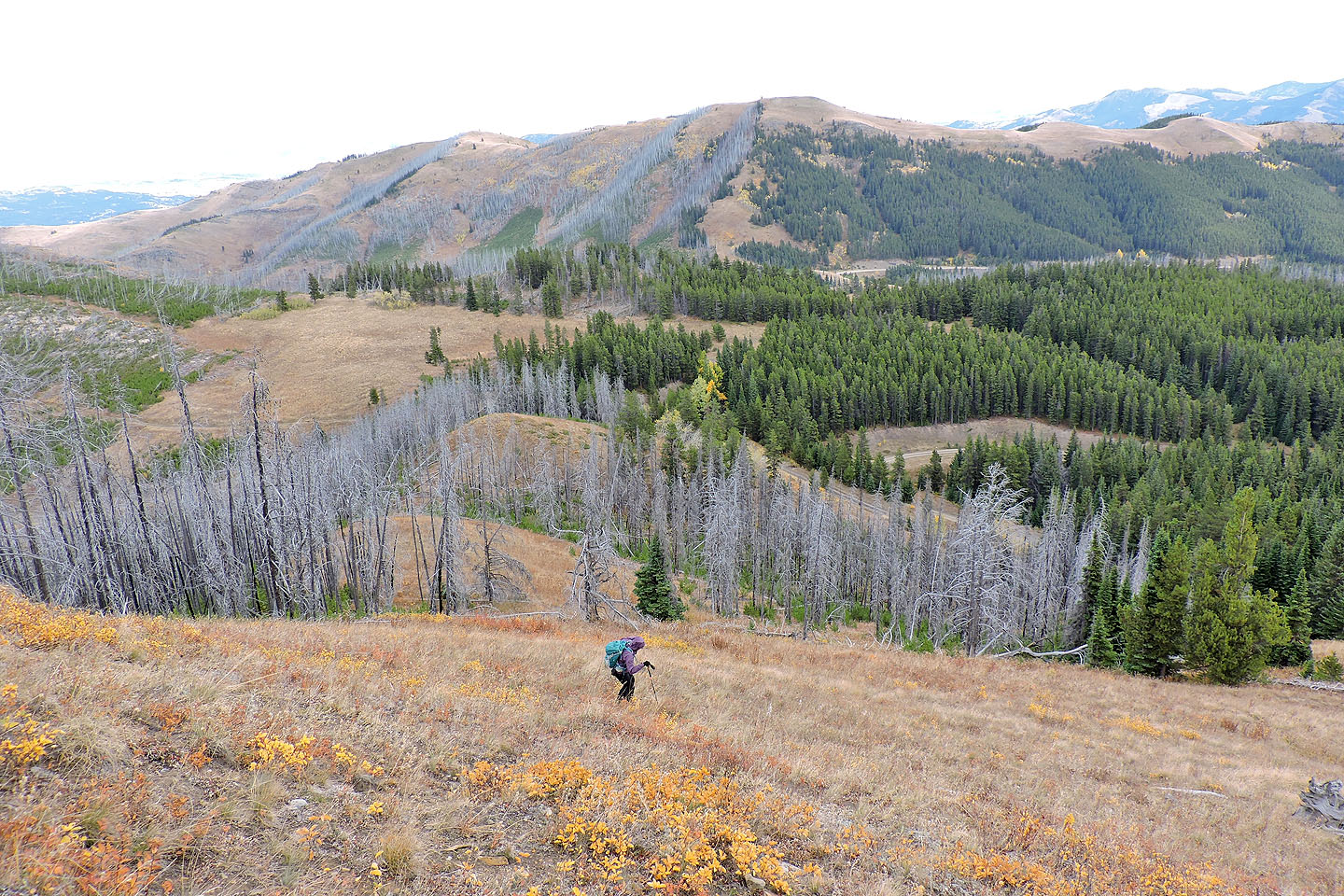
We enjoyed our fall stroll to Spades Peak
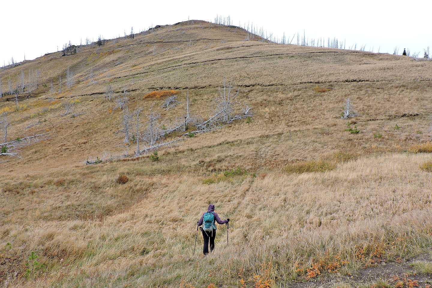
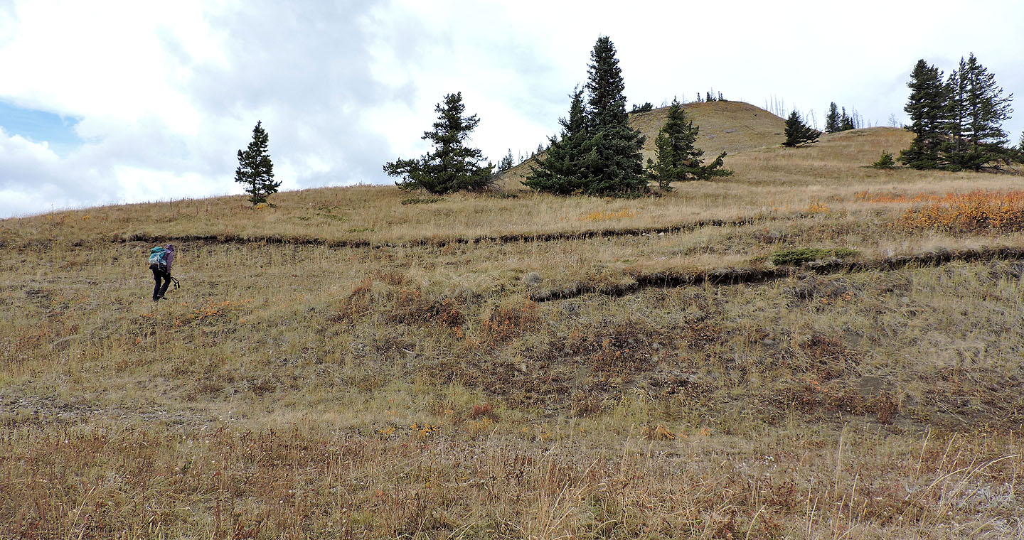
Instead of using the long switchbacks, we hiked up the grassy slopes of Spades
Looking back
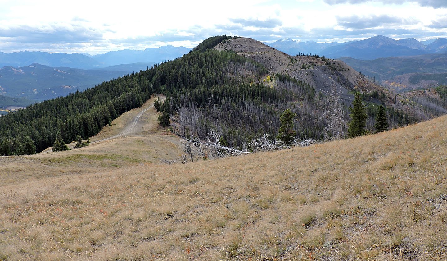
After Spades, we'll walk back along the road and climb Clubs seen in the background
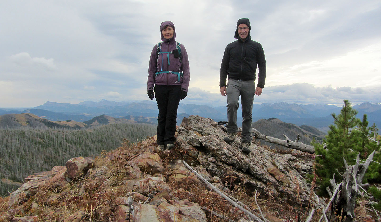
Standing on the summit of Spades Peak
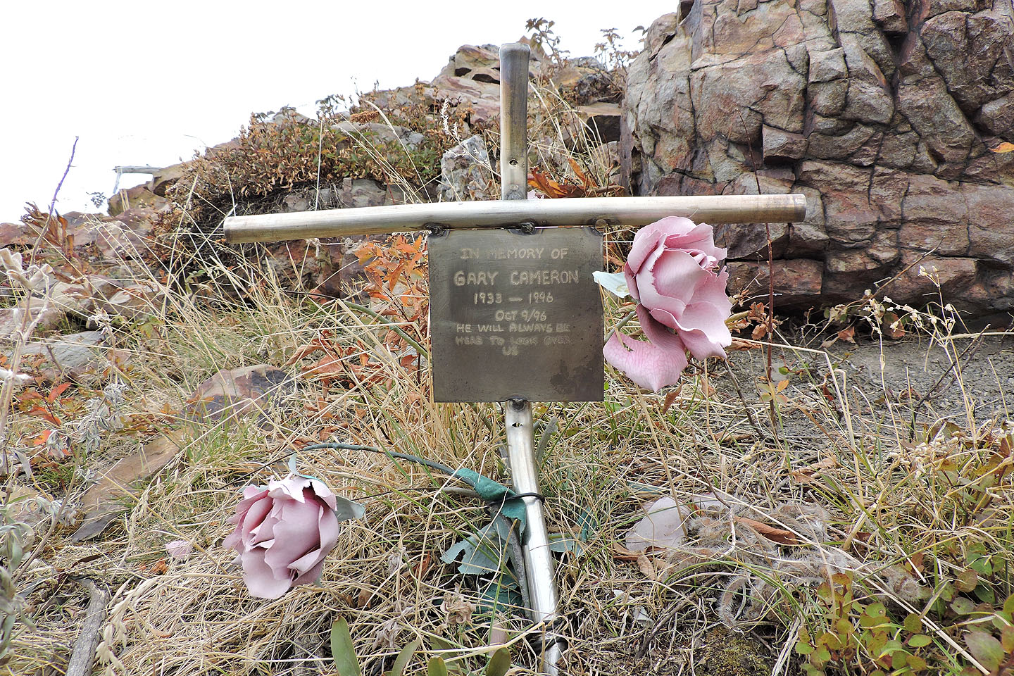
Memorial on the summit
Hearts Peak and Hillcrest Mountain
After walking back down the road, we have Clubs Peak in our sights
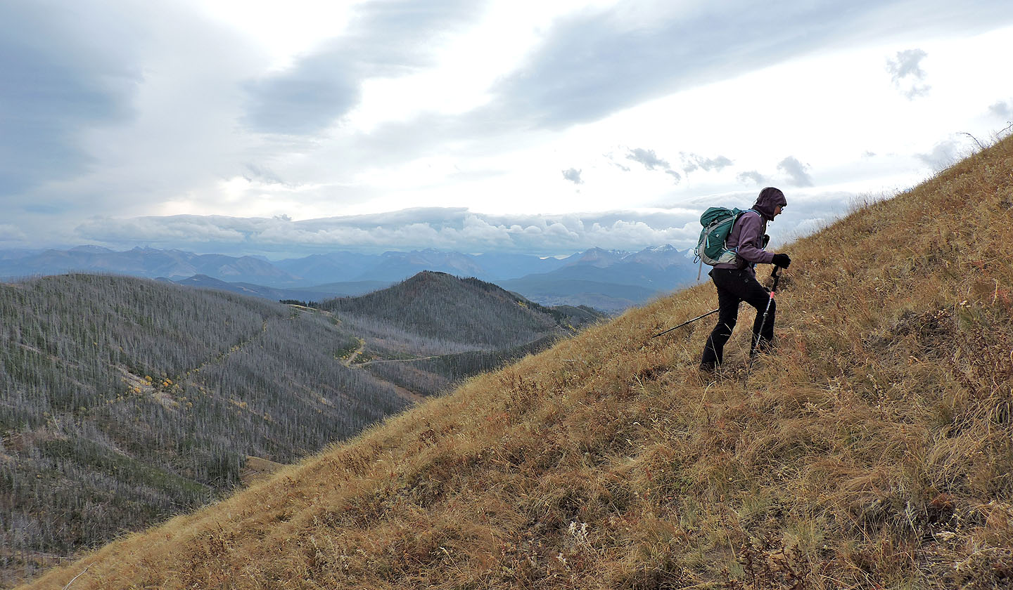
Starting up the southeast slopes of Clubs from the road
Looking back
The hilltop south is the site of an abandoned mine
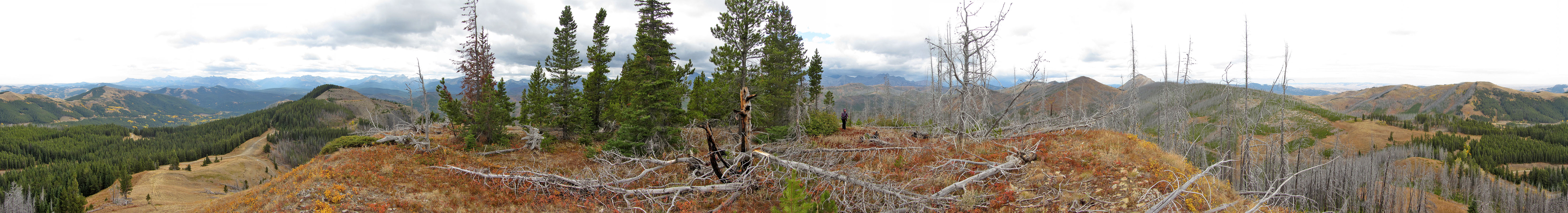
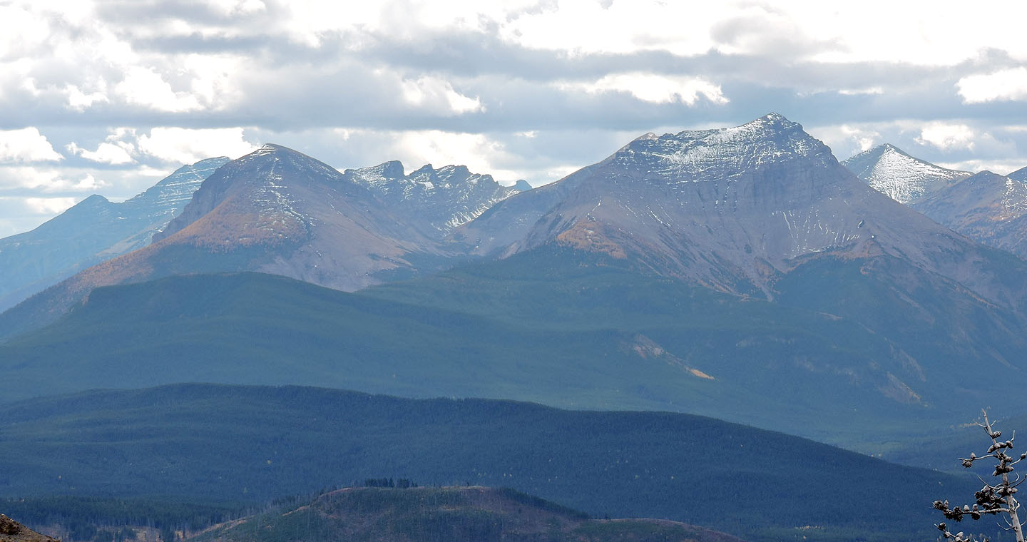
Panorama from Clubs Peak
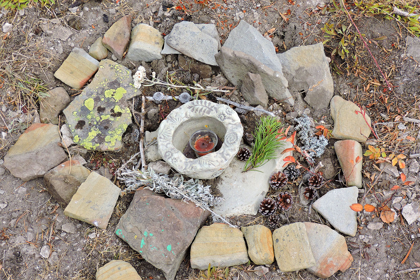
Instead of a summit cairn, there was this odd display
Spades Peak and Hillcrest Mountain
Heading back down. Poker Peak sits in the background.

82 G/8 Beaver Mines, 82 G/9 Blairmore