bobspirko.ca | Home | Canada Trips | US Trips | Hiking | Snowshoeing | MAP | About

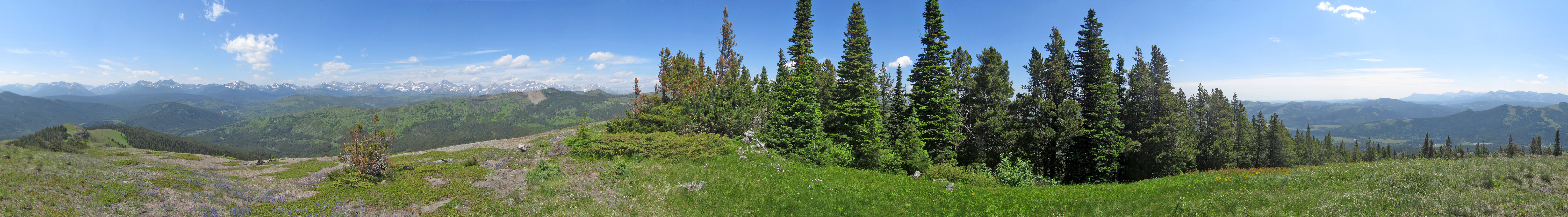
Panorama from Poker Peak
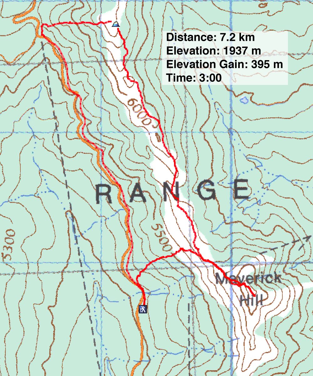
Maverick Hill and Poker Peak
Castle Provincial Park, Alberta
July 4, 2020
Distance: 7.2 km (4.5 mi)
Cumulative Elevation Gain: 558 m (1831 ft)
Ever since climbing Hearts Peak, Spades Peak and Clubs Peak, I've been meaning to complete the set by ascending nearby Poker Peak (there is no official Diamonds Peak). For the route, I referred to Dave McMurray's website. When Dave climbed Poker, he sensibly added Maverick Hill to this trip. Although Maverick doesn't fit the playing-card theme – ironically, “maverick” literally means “nonconformist” – it does connect the two minor points with a delightful 2 km ridgewalk.
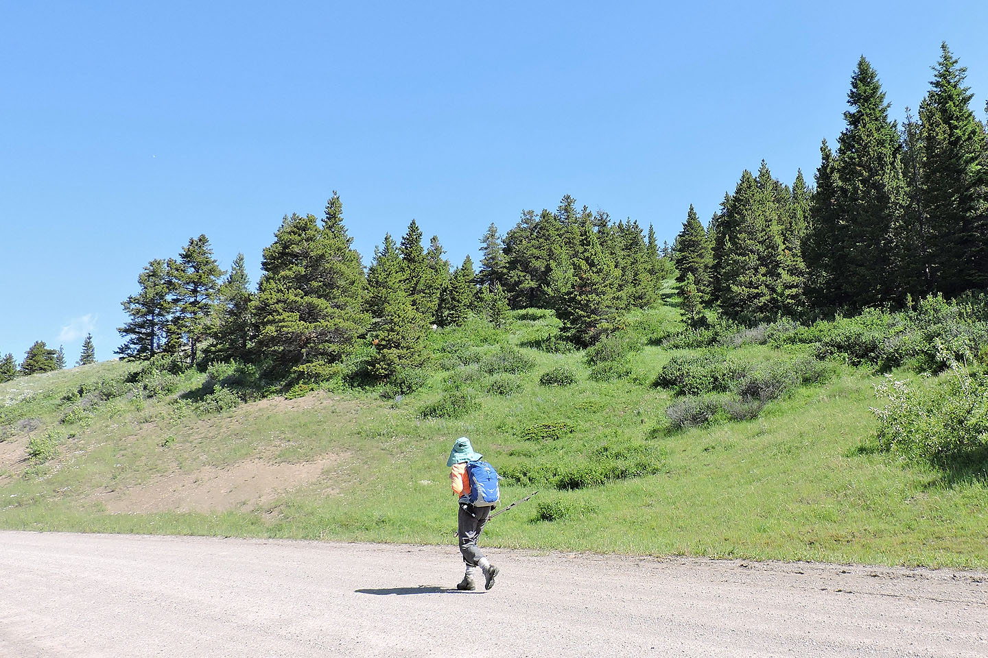
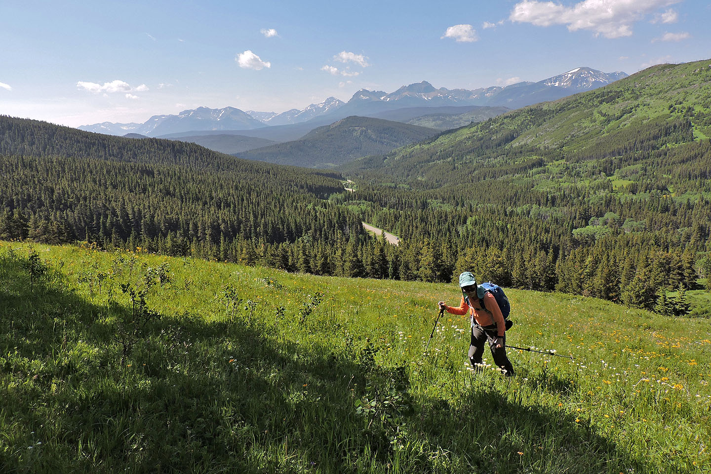
Like Dave, Dinah and I parked at a small pullout on the west side of the road. Unlike him, however, we didn't immediately plunge into the forest. Instead, we walked 200 m up the road to the start of a meadow that extends well up the slope. The meadow, where it rises above the treetops, can be seen from the road.
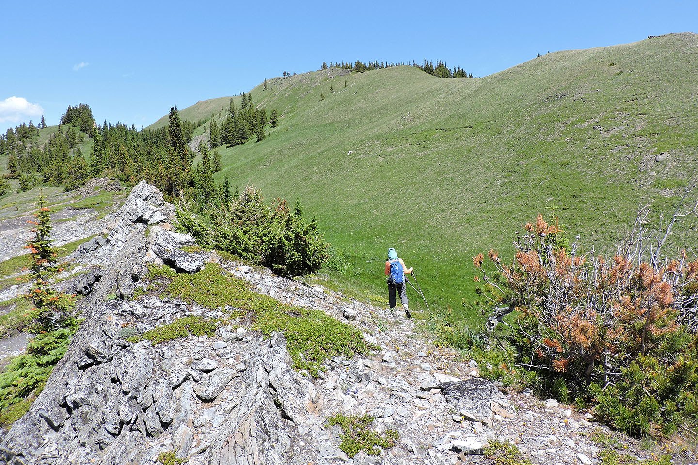
Assisted by vague animal trails, we easily hiked up the meadow and the lightly wooded slope, almost drawing a straight line to the ridgetop. Once on the grassy ridge, we turned right and sauntered to the top of Maverick Hill. Less than an hour after starting, we reached the 1858-metre-high summit.
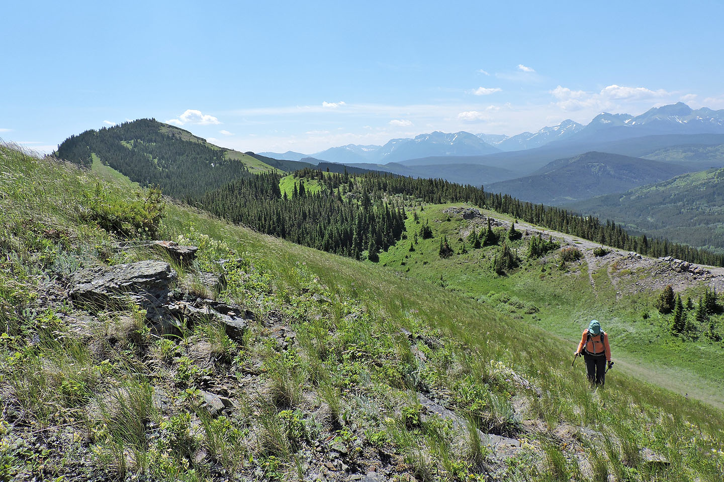
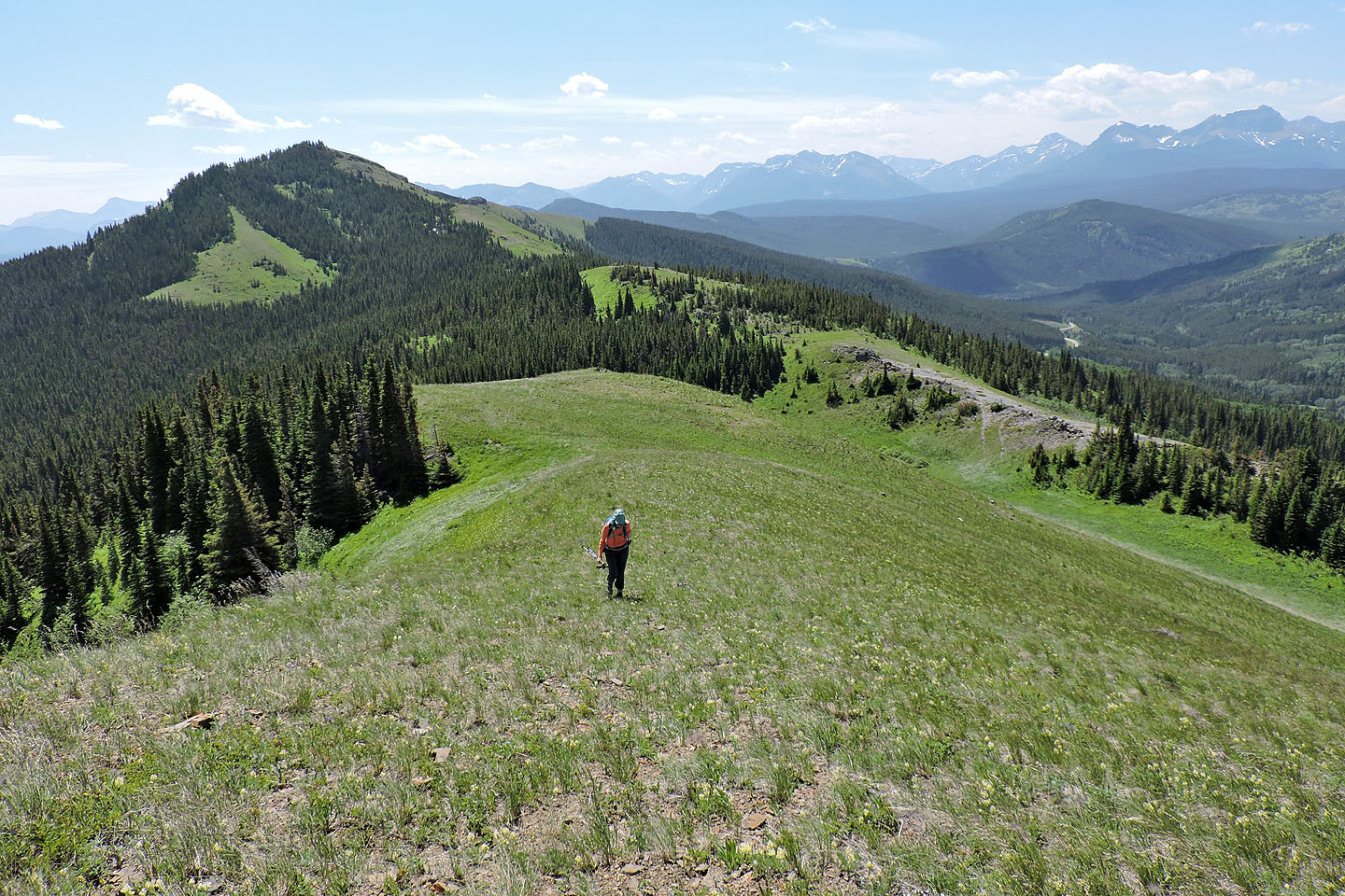
After a brief stay, we turned our attention to the north end of the ridge where it rises to a verdant point: Poker Peak. We returned to where we gained the ridge earlier and continued north along the crest. Like any troublesome ridge, it has its share of ups and downs. But the partly forested ridge also holds hidden dips that left us wondering whether to keep left or right. We quickly learned it was best to keep left where the ridge was open; there was no bushwhacking. After reaching the lowest spot on the ridge, we tramped 150 m up the lush, grassy ridge to the summit of Poker.
Unlike Maverick, the summit of Poker offers an unobstructed view in all directions. But it also exposed us to the gale that had dogged us along the ridge. To escape the wind, Dinah started down. I lingered to take a summit panorama before coming down.
I caught up to Dinah on a narrow trail that begins before entering a copse. Below the trees, however, the trail follows a meadow down to the road. We reached the road but were still 2.5 km from our car. Leaving my pack with Dinah, I jogged back, agreeably downhill all the way, and picked her up 22 minutes later.
Dinah heads to the start of the meadow (far left)
Including the bottleneck ahead, the meadow extends for 250m
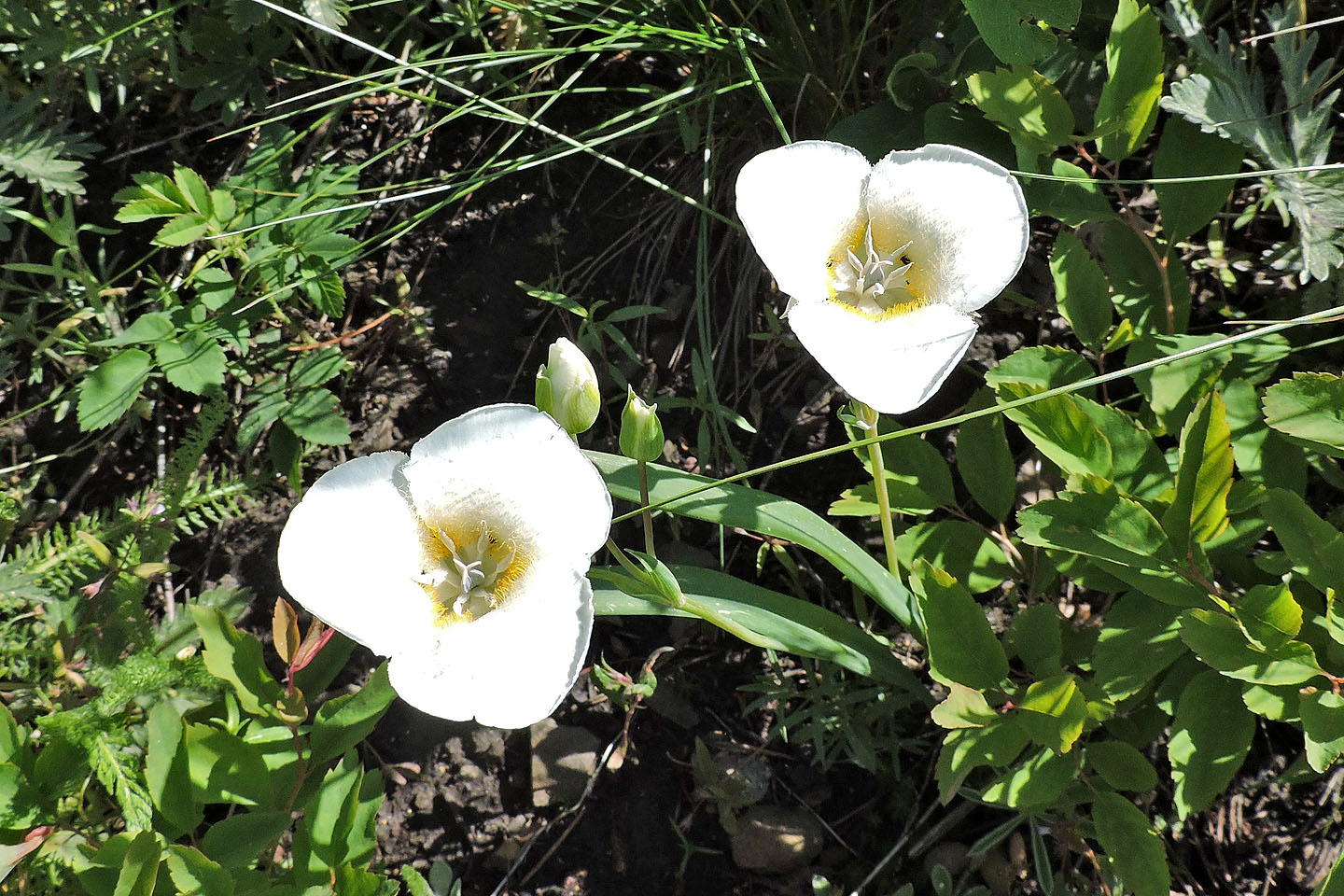
Hundreds of Mariposa lilies appeared on the slope
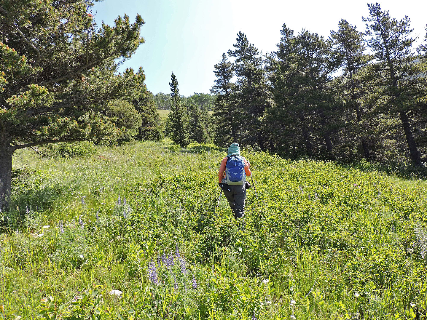
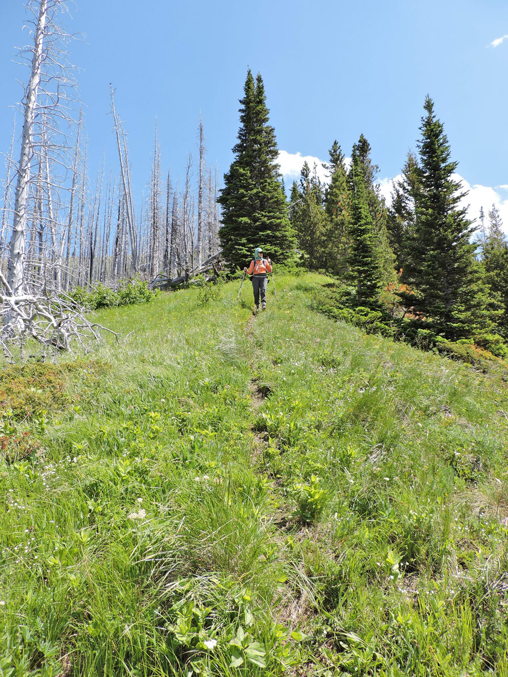
We followed a vague trail up the meadow
From the top of the meadow we could see our car, a dot on the road
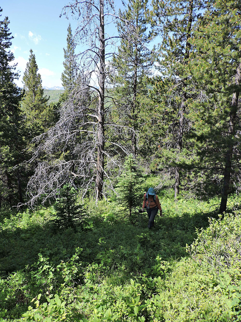
In the trees, we picked up another faint trail
We also came cross flagging in a couple of places
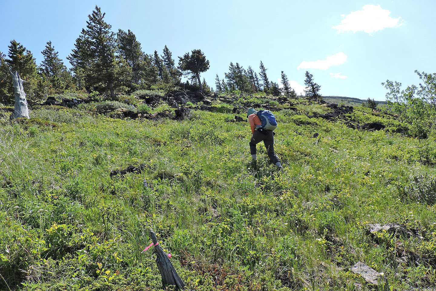
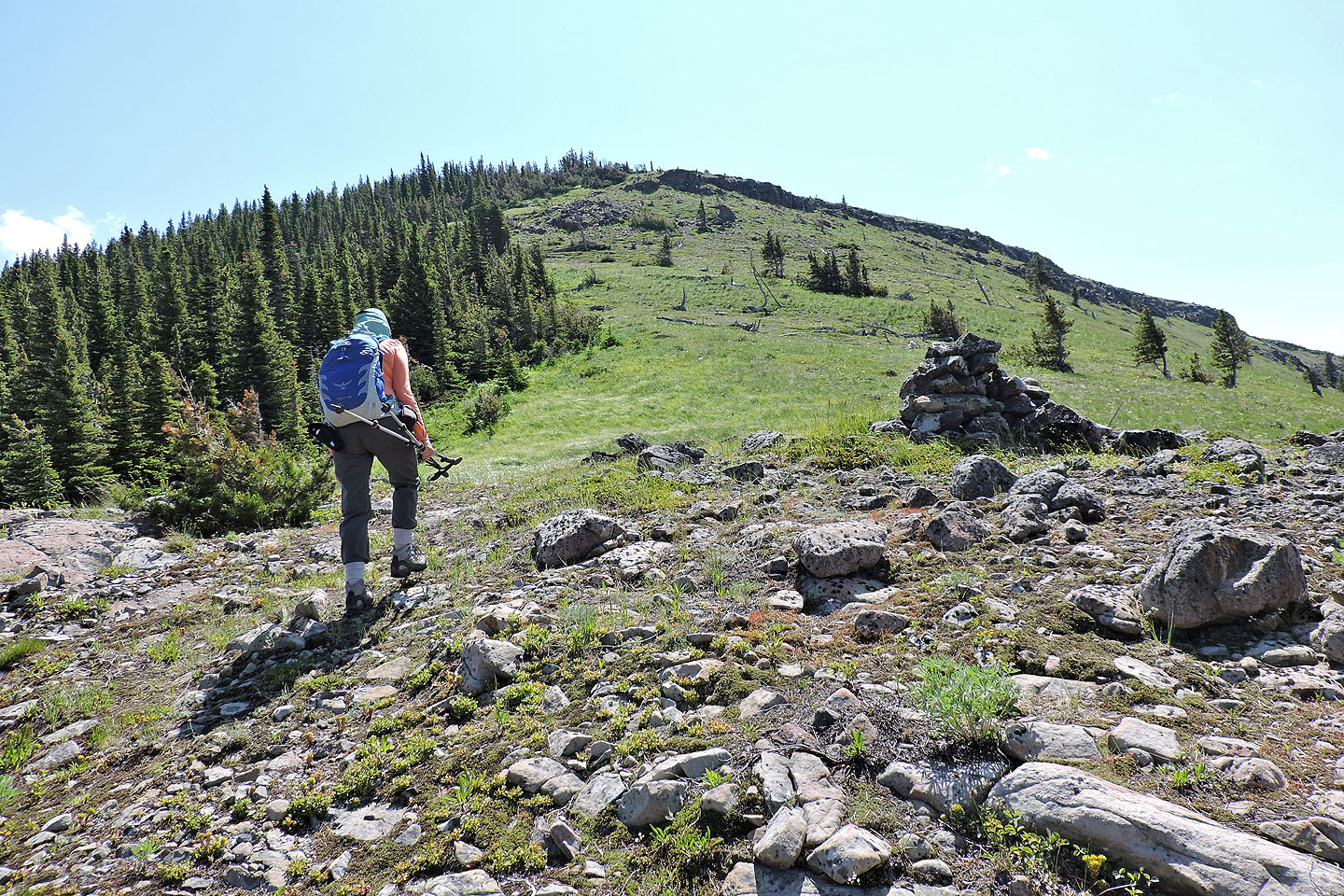
On the ridge
Maverick Hill ahead
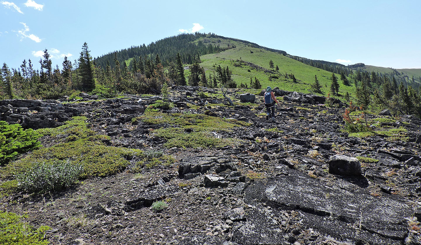
On the way to the top, we passed a large cairn
The Flathead Range stretches across the western horizon
On the summit of Maverick
View from the summit
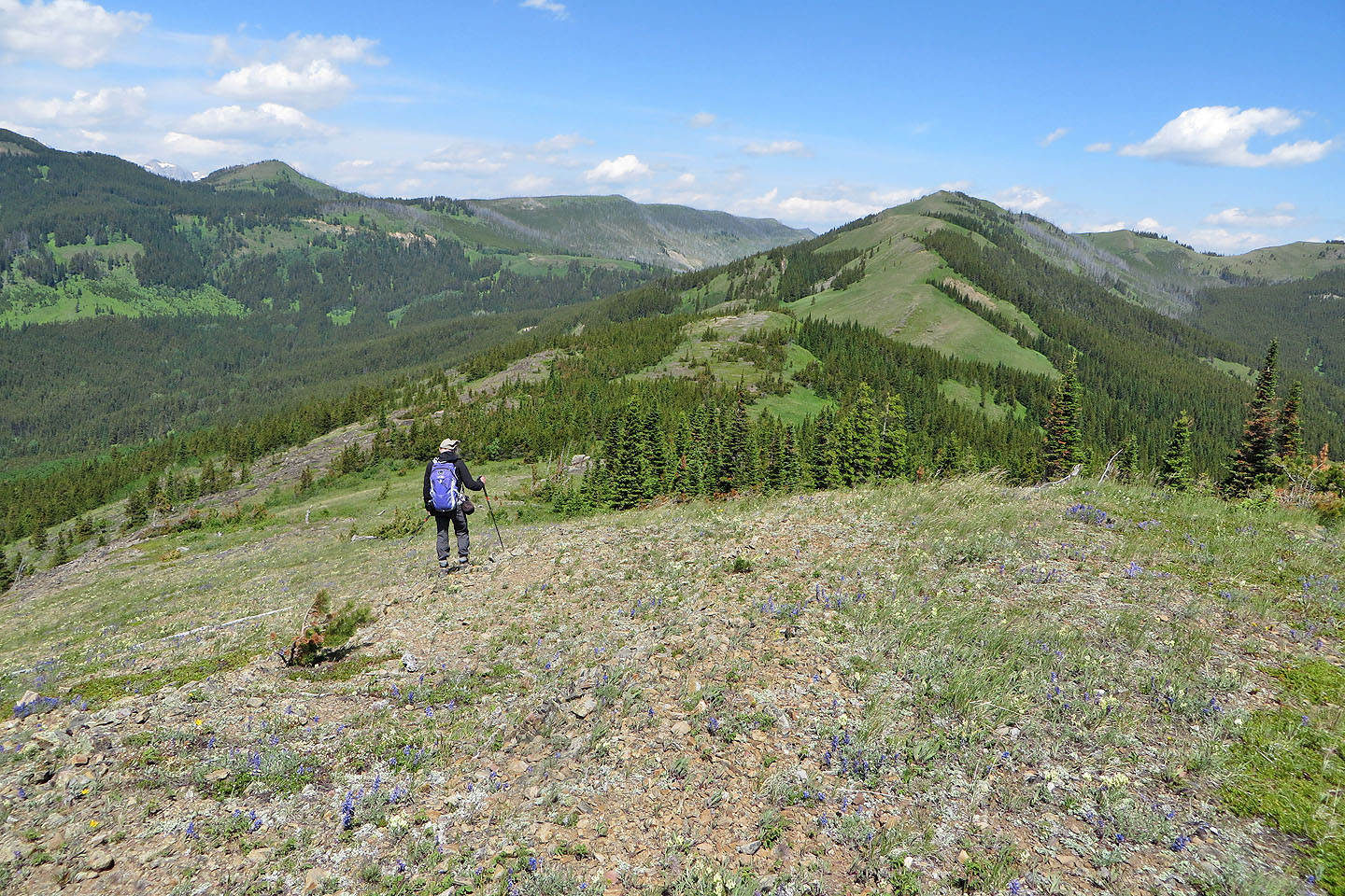
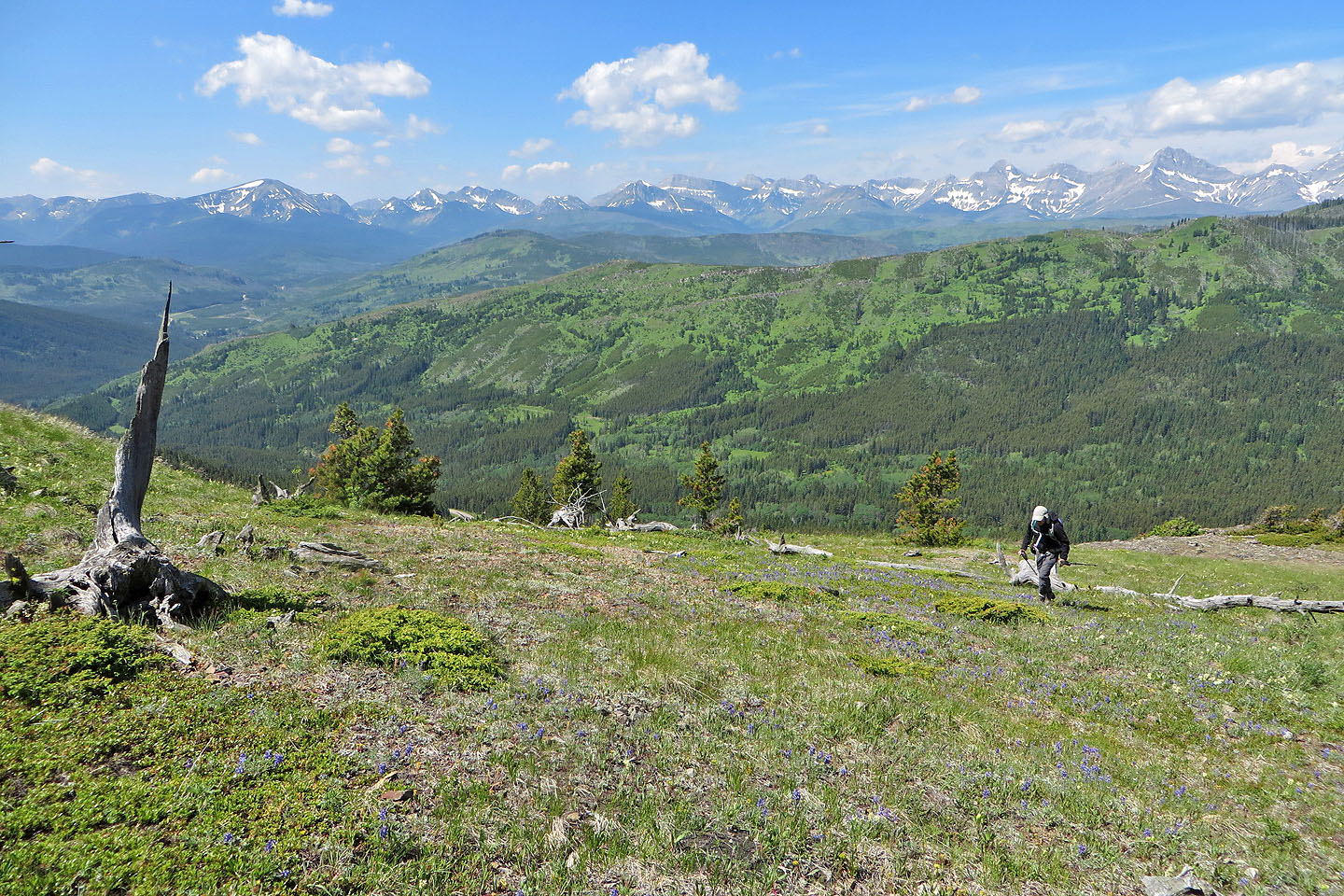
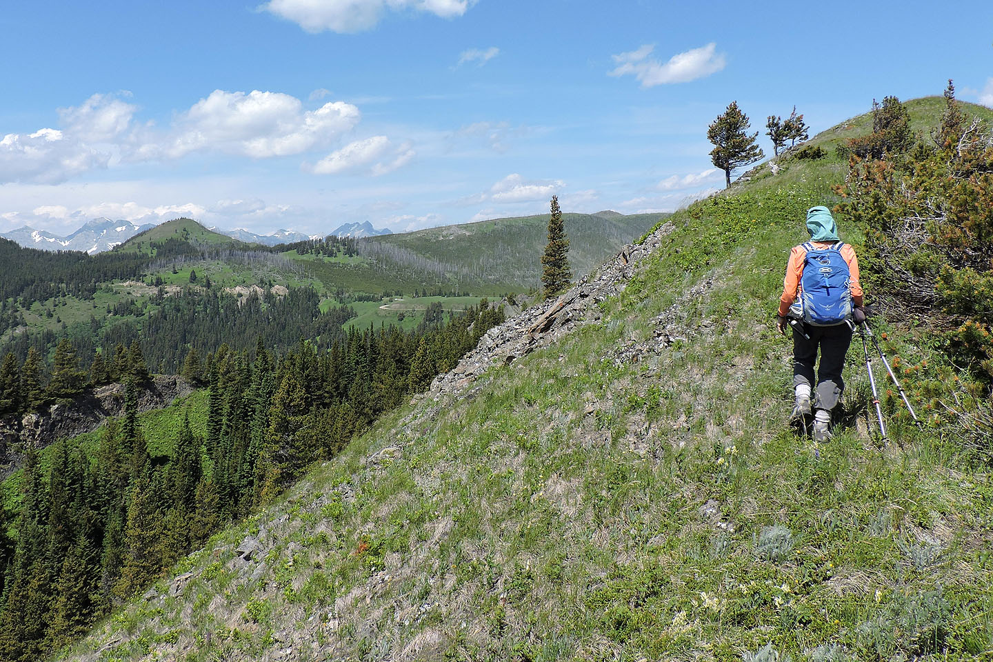
Heading to Poker Peak
Dinah starts down one of the dips
Coming to the lowest point along the ridge
We were surprised to find a trail leading to the bottom
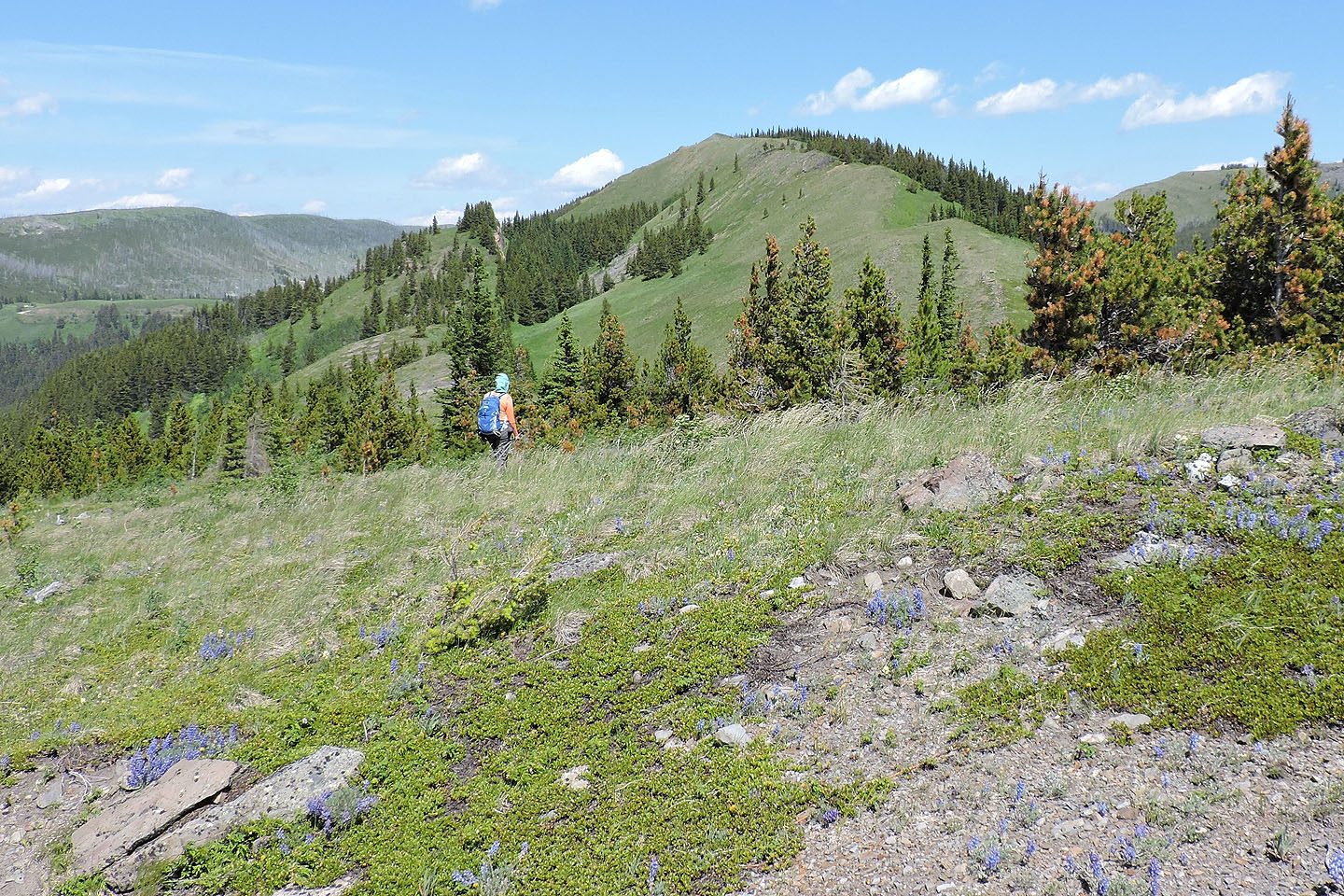
Regaining the ridge after the dip
Back on the ridge
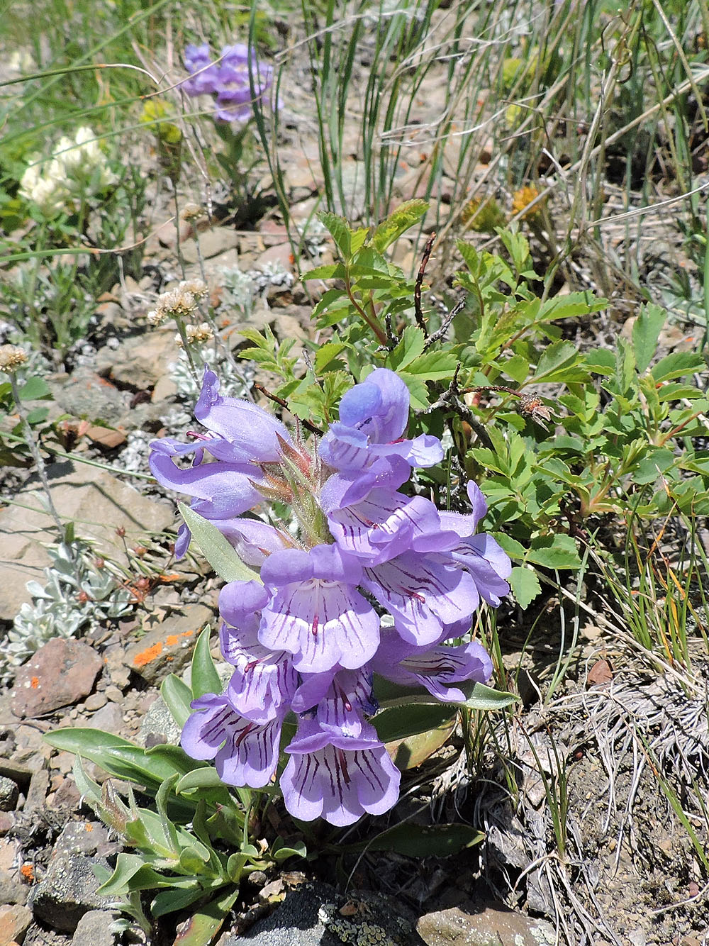
I couldn't identify these flowers, but they certainly caught my eye
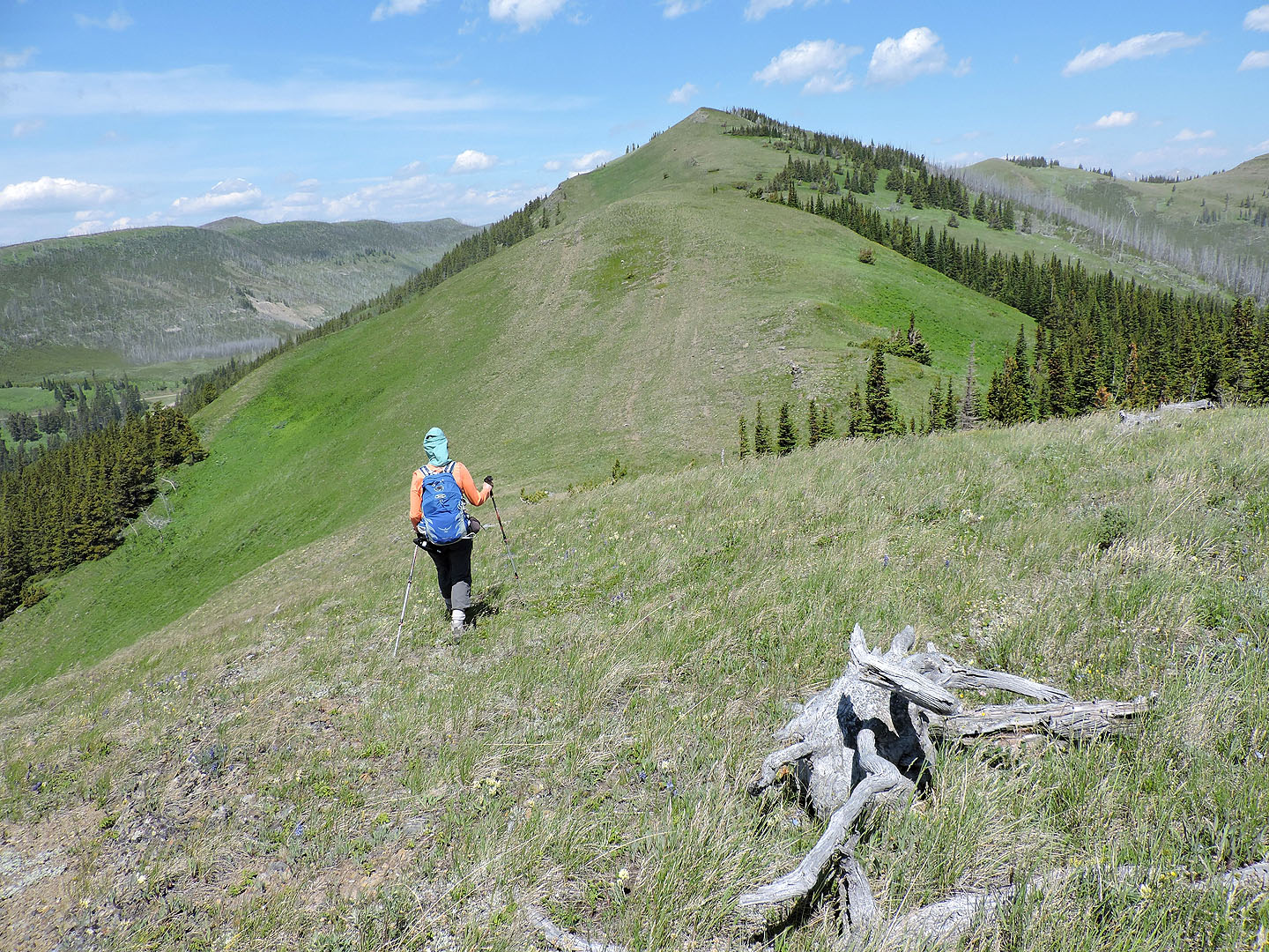
The green bump on the left is Clubs Peak
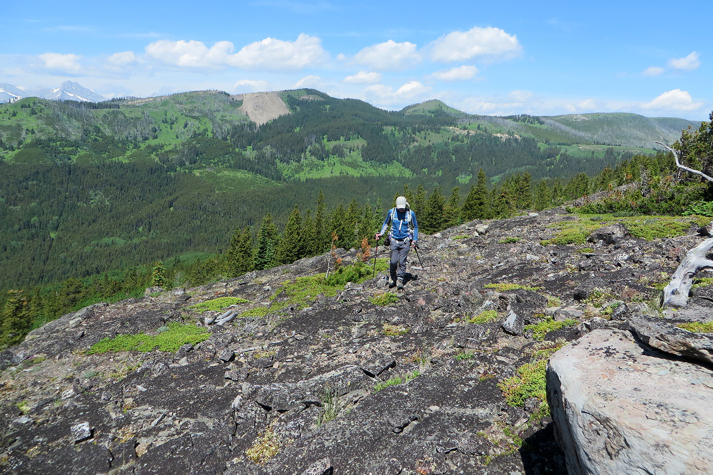
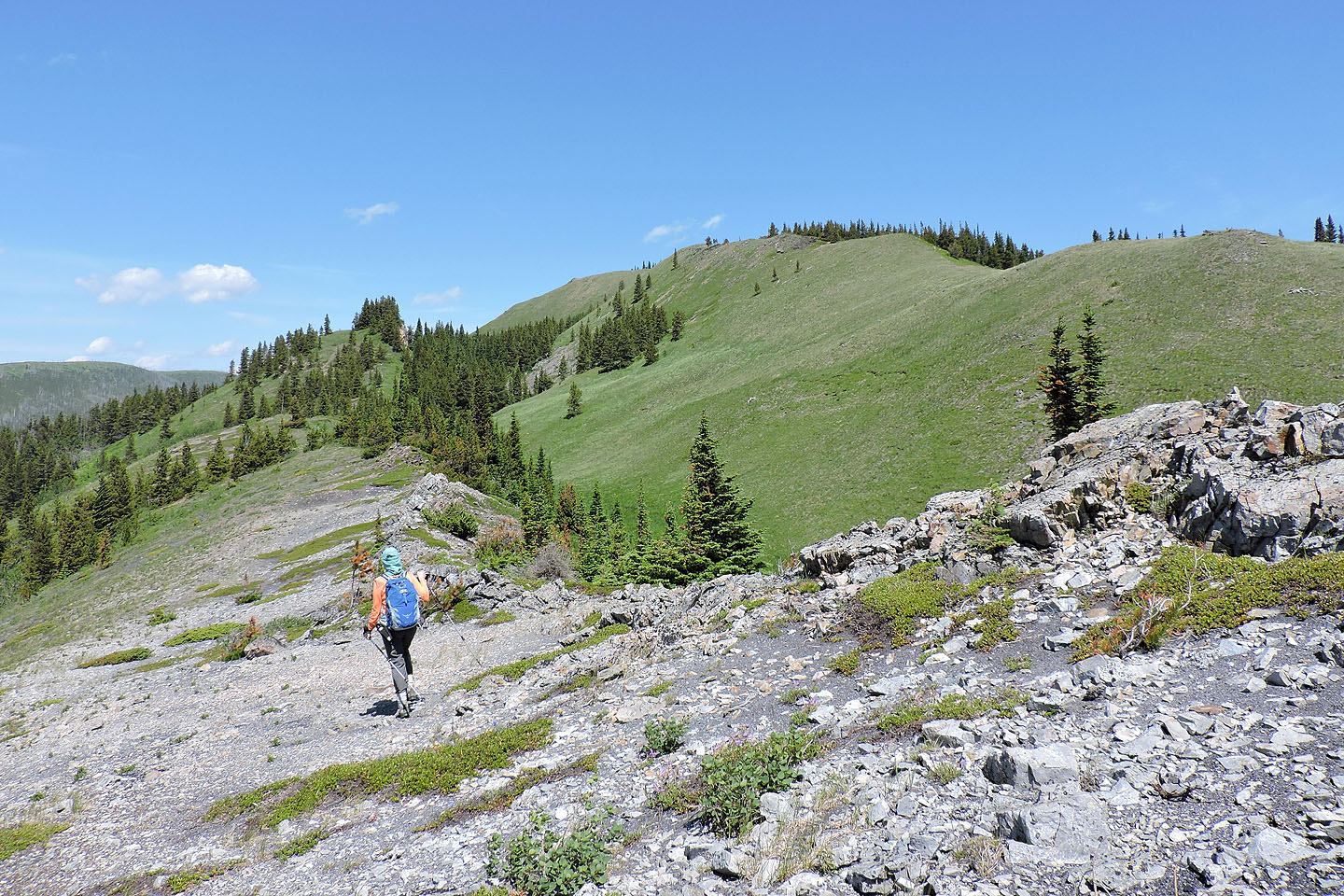
The last dip before the summit
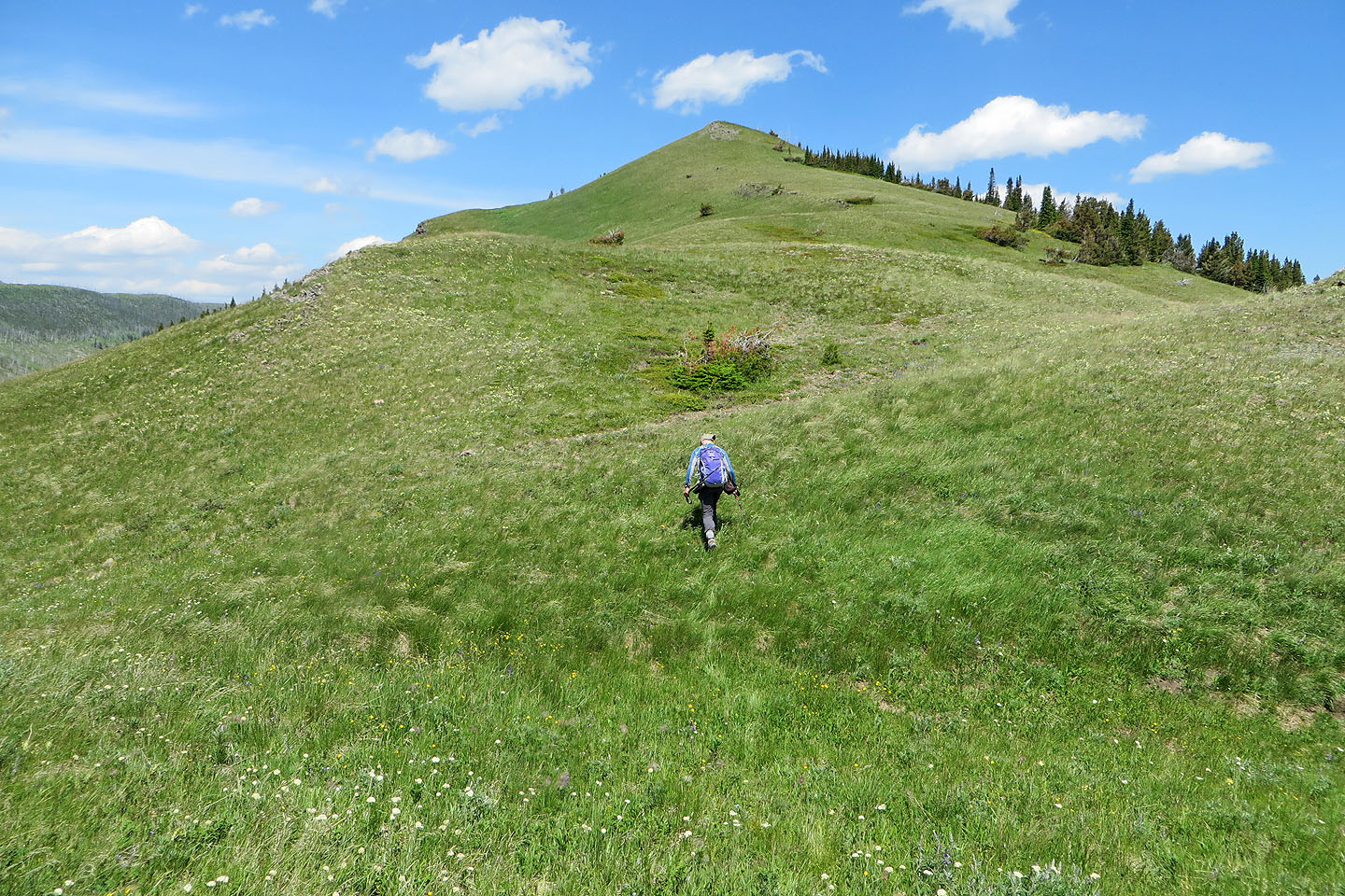
An easy climb to the top of Poker
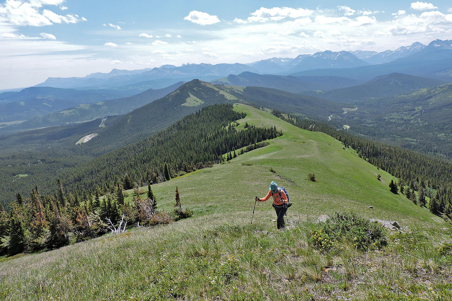
Looking back just before the summit
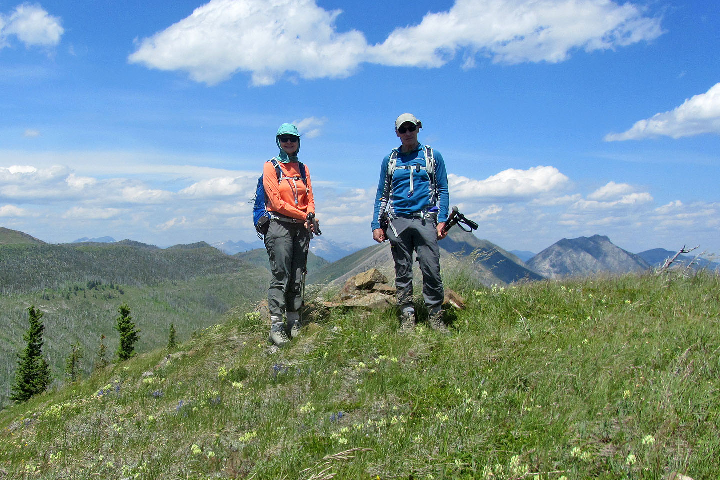
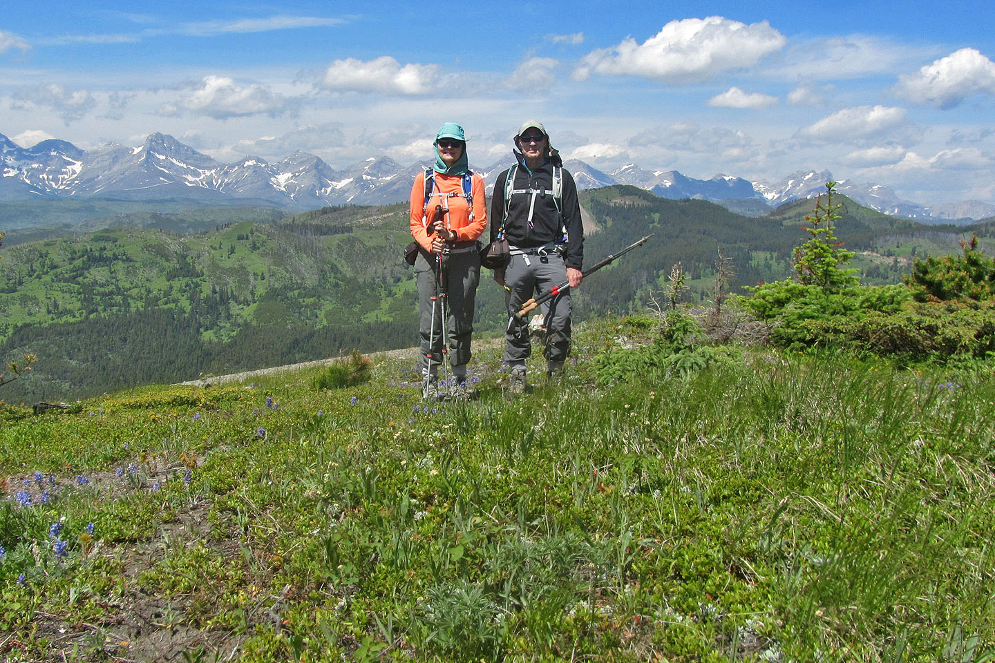
On the summit
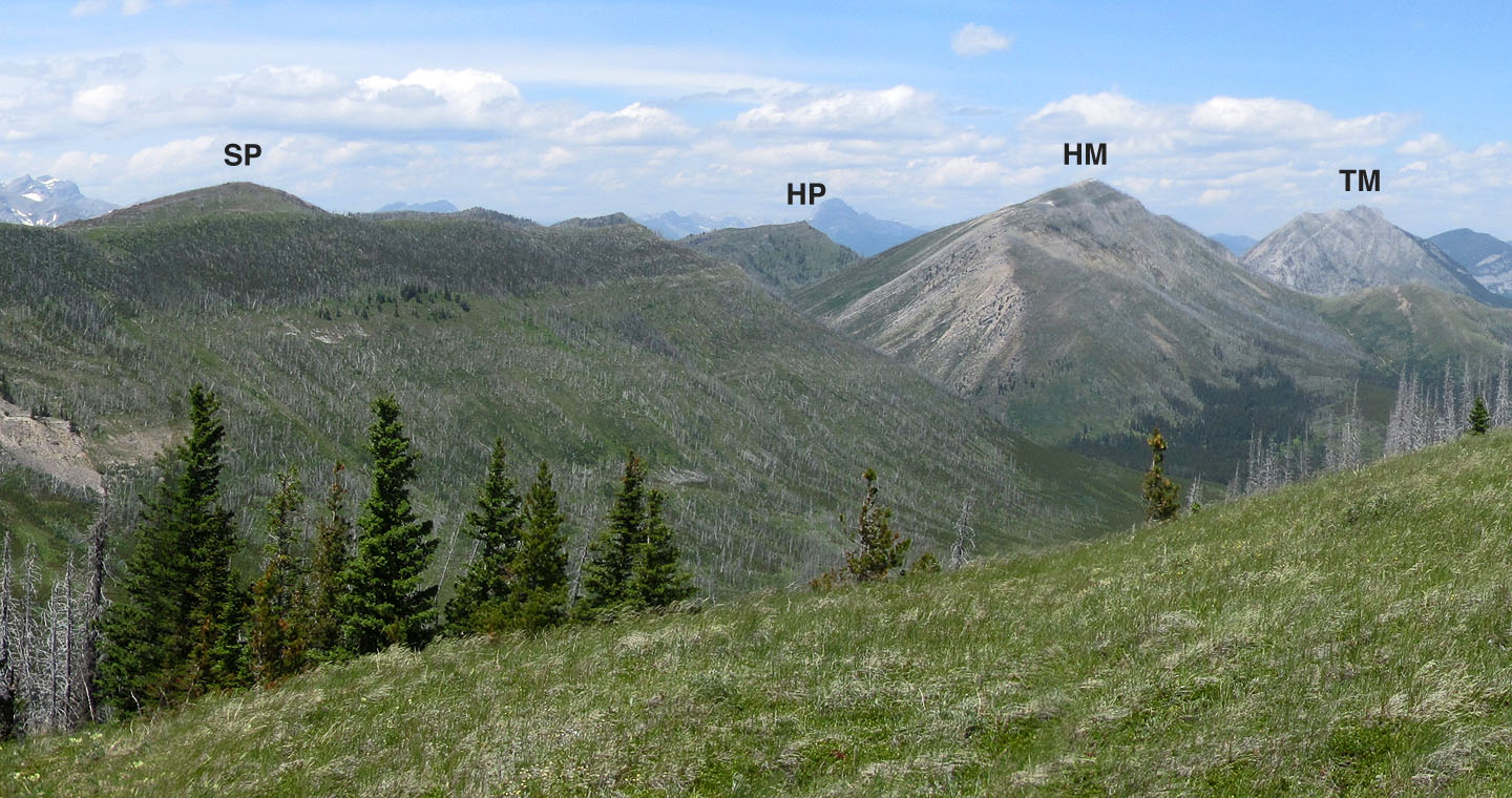
Spades Peak, Hearts Peak, Hillcrest Mountain and Turtle Mountain
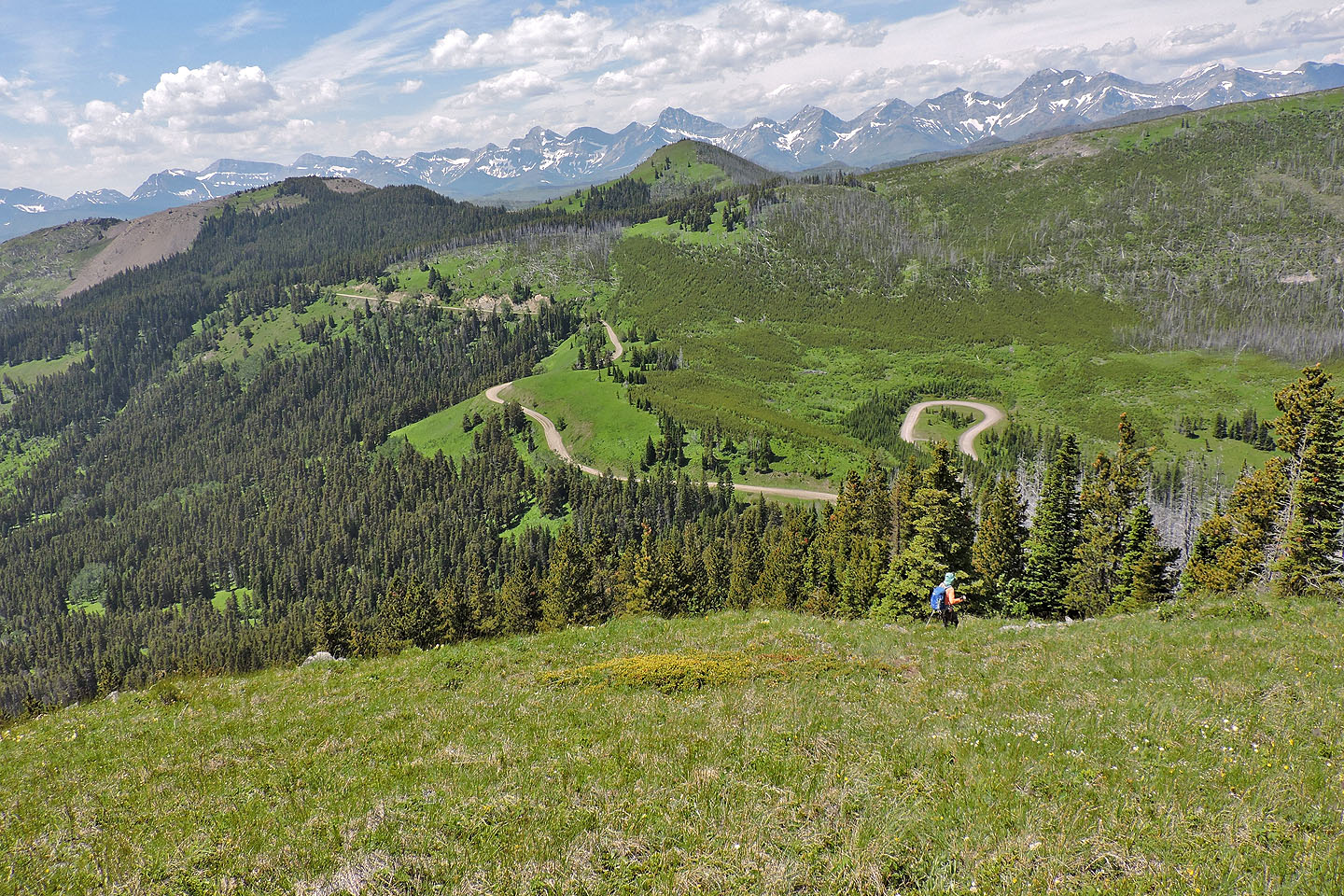
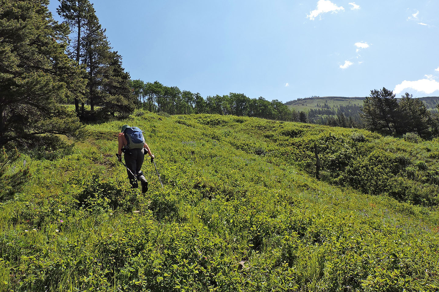
We started down the slope to get back to the road
There wasn't much of a trail going down
82 G/8 Beaver Mines