bobspirko.ca | Home | Canada Trips | US Trips | Hiking | Snowshoeing | MAP | About

“Mohawk Hill”
Crowsnest Pass, Alberta
September 12, 2020
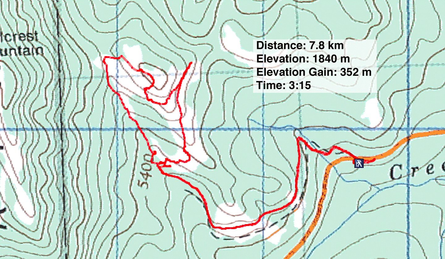
Distance: 7.8 km (4.8 mi)
Cumulative Elevation Gain: 385 m (1263 ft)
Seventy years ago, Hillcrest Mohawk Collieries operated a coal mine on the east flank of Hillcrest Mountain. All that remains now are a few buildings and a road that runs through the mine site and up a hill. But it's enough to provide an interesting hike.
Bigdoer calls the hill “Hillcrest Mohawk No. 5 Hill” after the mine, but that seems cumbersome. I'll just call it “Mohawk Hill.” The hike is described in the obsolete guidebook, Hiking the Historic Crowsnest Pass.
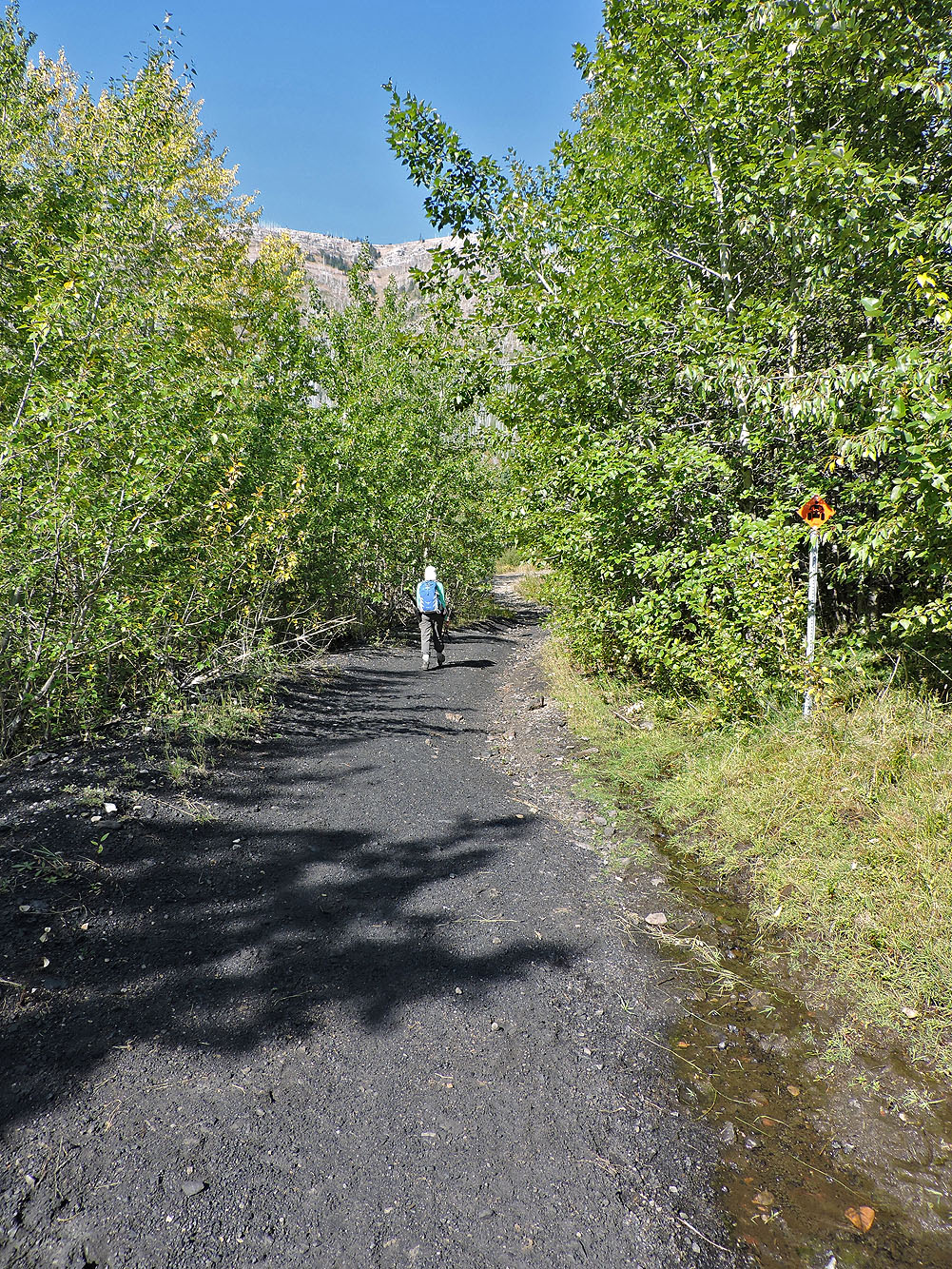
The mining road begins on Adanac Road. There is roadside parking on Adanac 150 m south of the mining road entrance. But instead of walking back to the entrance, walk a short distance ahead and climb a shortcut road.
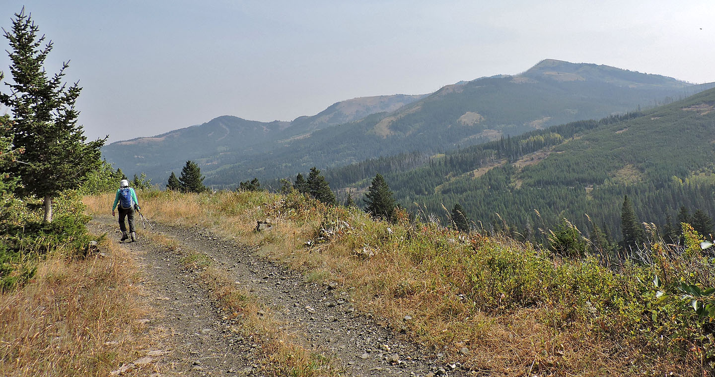
Dinah and I followed the winding mining road to the mine site. We poked around the ruins before continuing up the road to Mohawk Hill. The grassy hilltop provided good views of Hillcrest Mountain and Turtle Mountain, but anything beyond a few kilometres was obscured by smoke from U.S. wildfires.
Our visit to Hillcrest Mohawk Collieries No. 5 wouldn't be complete without seeing one of the subsidence pits. From the summit, we dropped down the slope and found one. Soon we were gazing down at a massive hollow that revealed a coal seam.
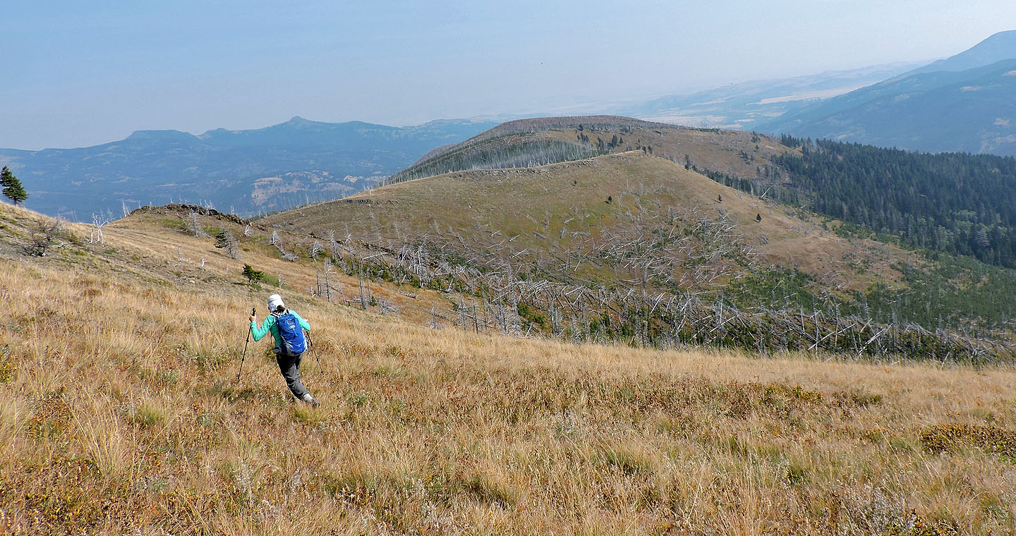
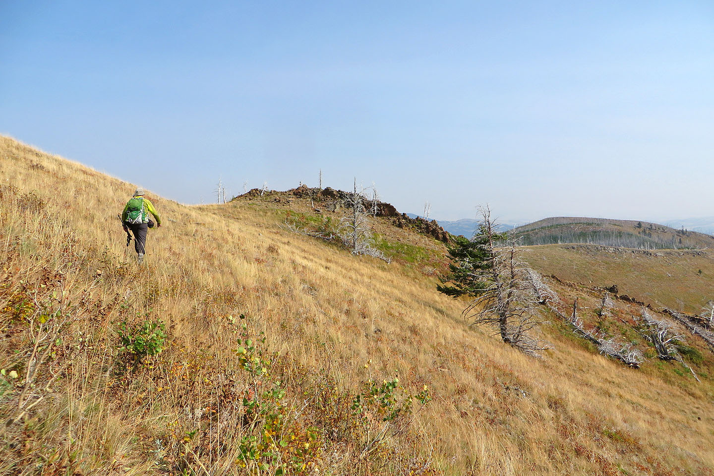
After regaining the ridge above the pit, we decided to extend our trip by hiking the east ridge of Mohawk Hill. The open ridge looked promising, but when we hit a steep drop full of deadfall, it blunted our determination to continue. So we turned around and, instead, hiked the grassy south ridge toward the mine site. When we were above the site, we dropped down. But this didn't work out well. Not only did we face a steep slope, but we also became entangled in dense bushes. It might be easier to come off the ridge before the site. But we managed to reach the foundation of the tipple, a structure where coal was cleaned and loaded. We were soon back on the road and followed it to our car.
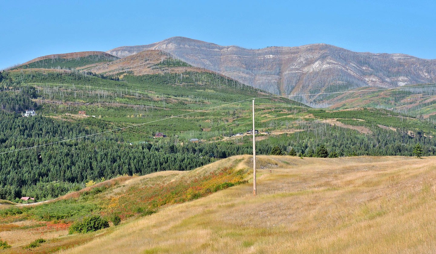
Mohawk Hill, the highest bump on the left, sits in front of Hillcrest Mountain
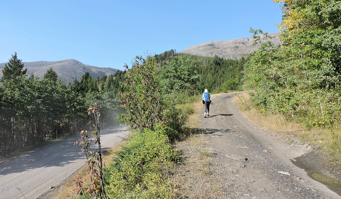
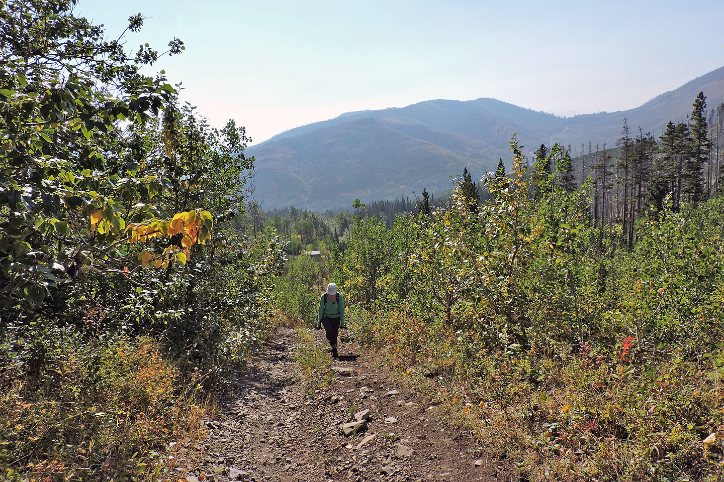
We started up the mining road from Adanac Road
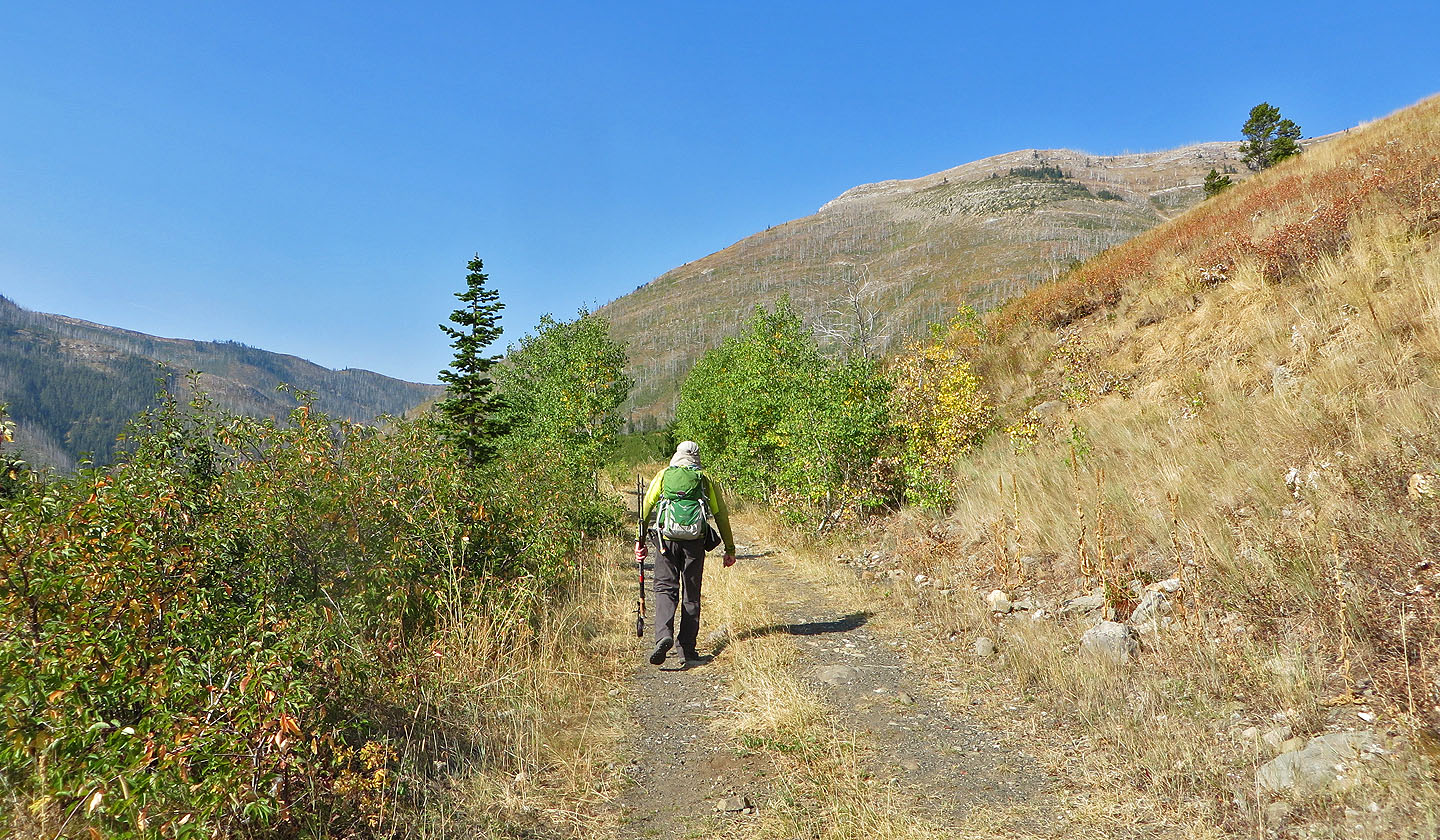
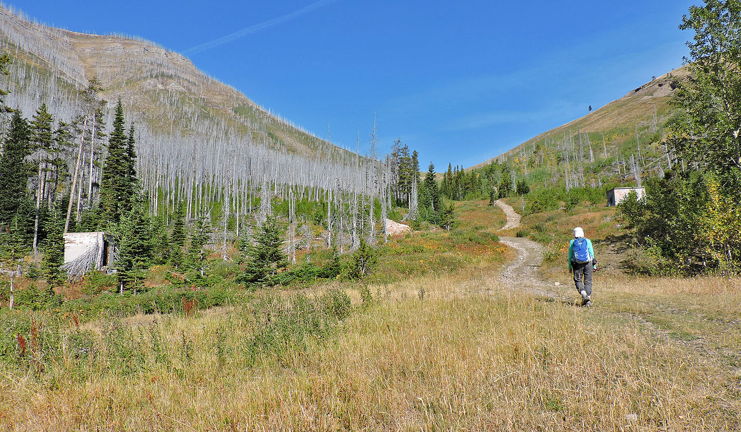
After hiking through trees, we came to a clearing with Hillcrest Mountain ahead
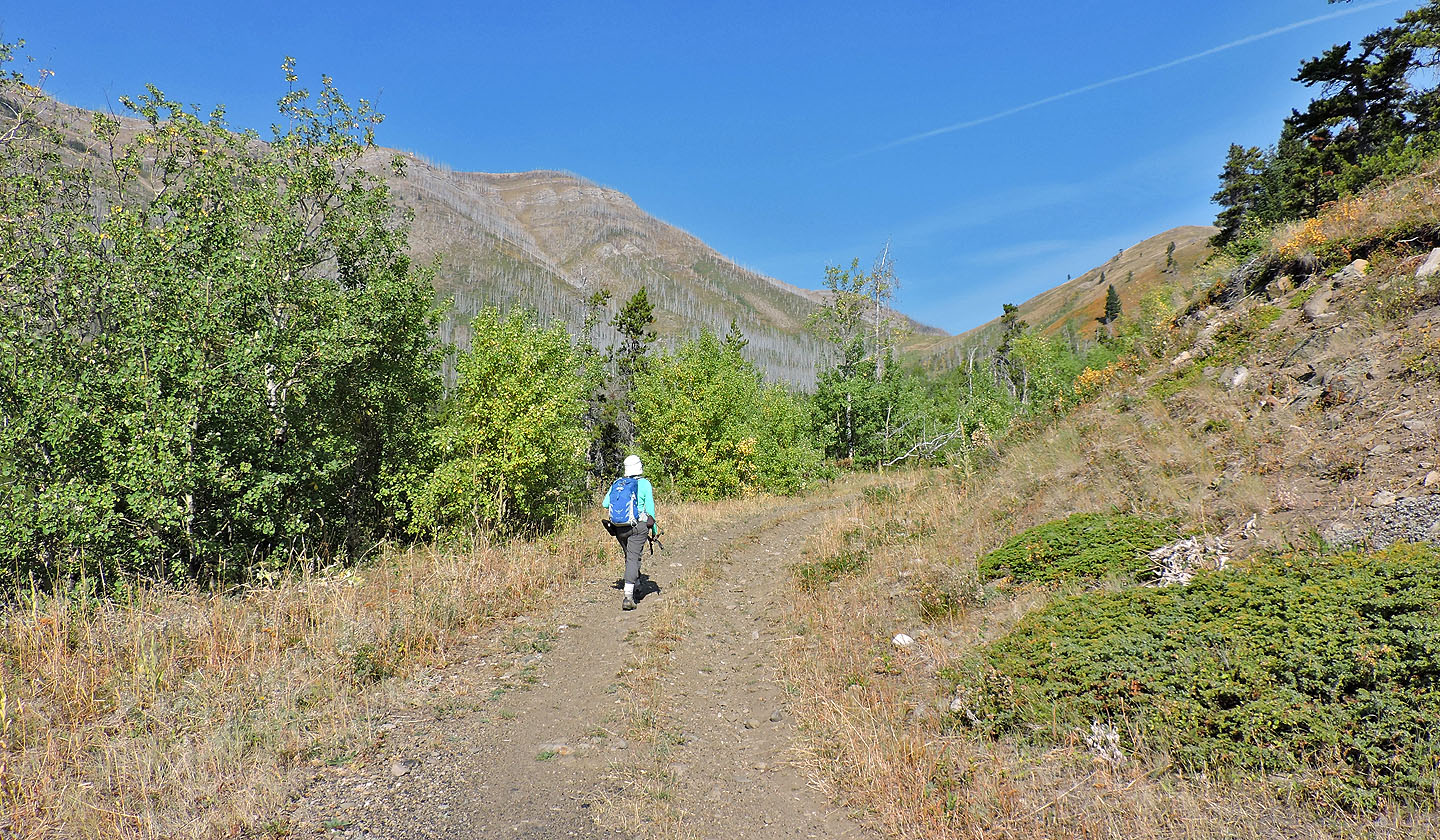
The road climbs to the pass ahead. Mohawk Hill is on the right.
The road is covered in coal just before the mine site
The remains of three buildings appear in a clearing
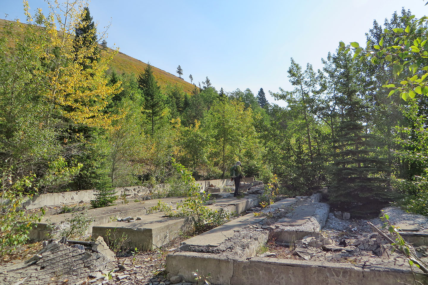
All that's left of the tipple is the foundation
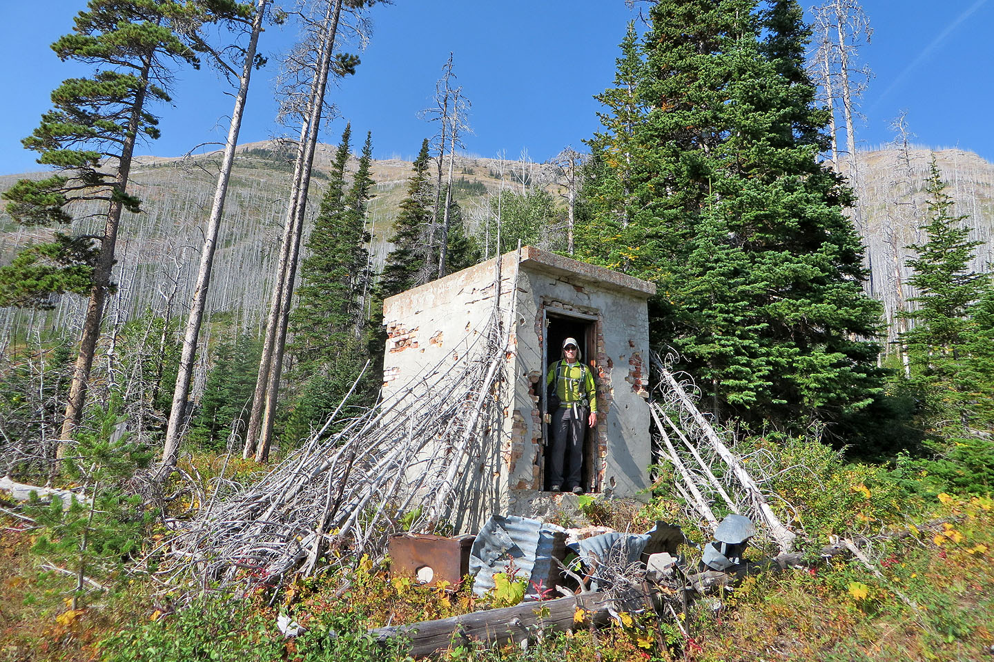
Dynamite shed
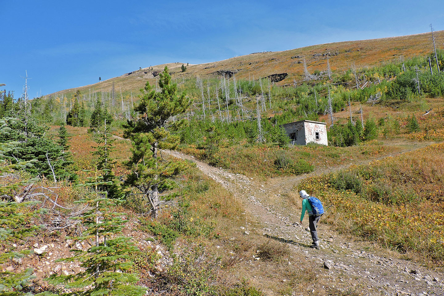
We went to examine the last building. The holes in the slope are subsidence pits.
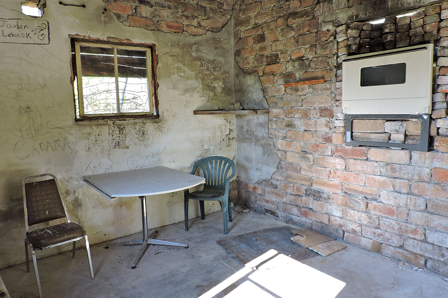
We were surprised to find the building furnished. Not seen in this photo is a barbecue grill in the corner.
As we continued up the road, Poker Peak appeared behind us
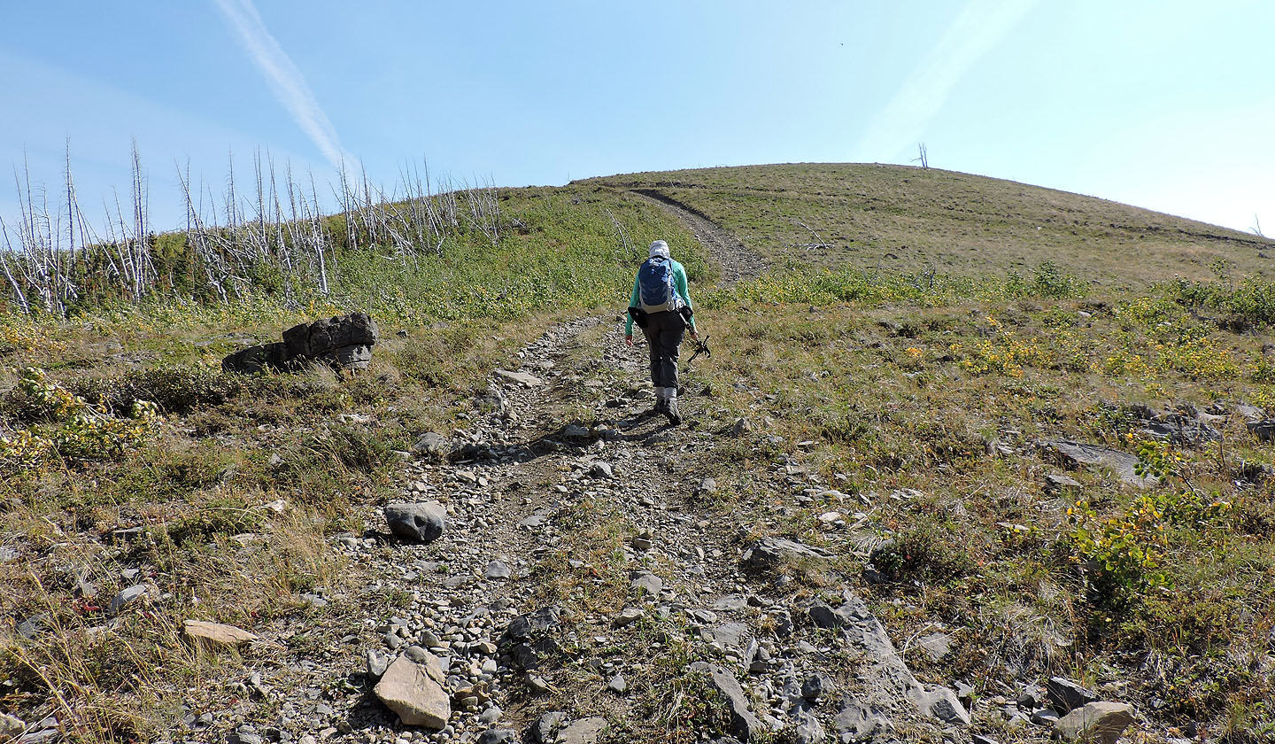
Starting up Mohawk Hill from the col
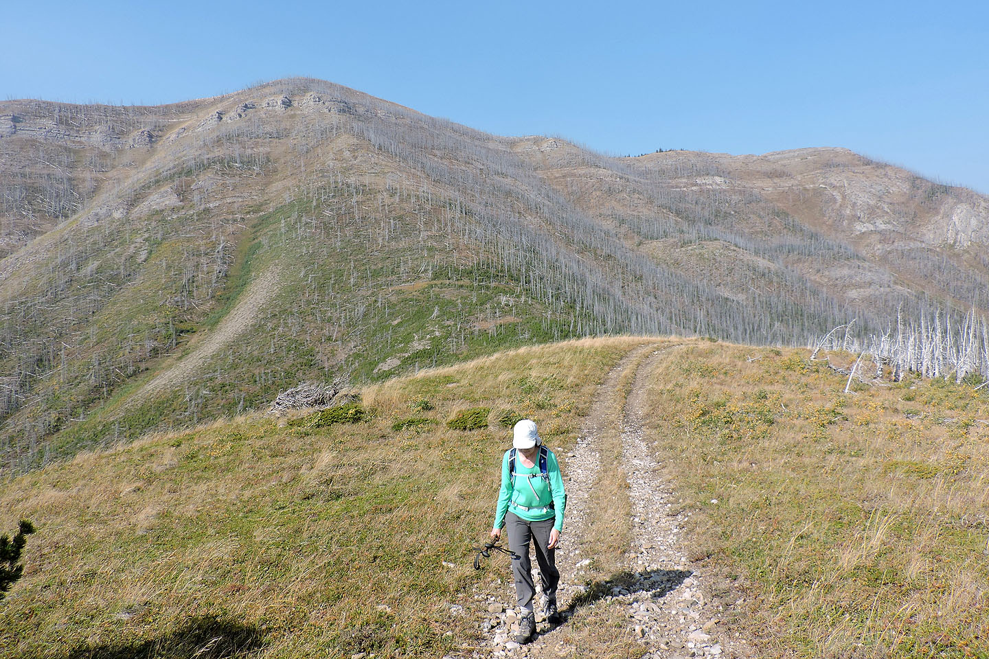
Hillcrest Mountain appears to be a steep hike from the col with little scrambling
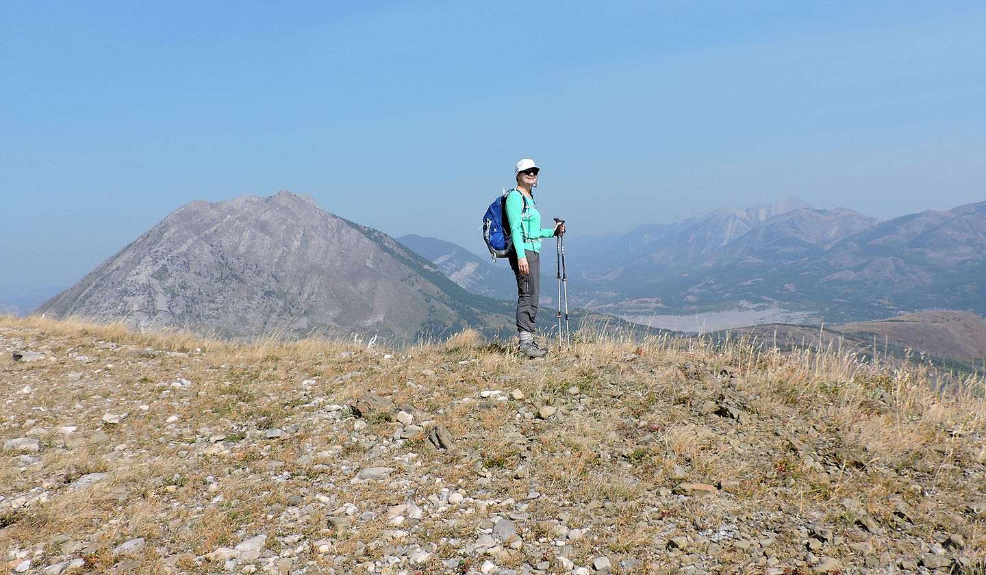
Dinah on Mohawk Hill with Turtle Mountain in the background
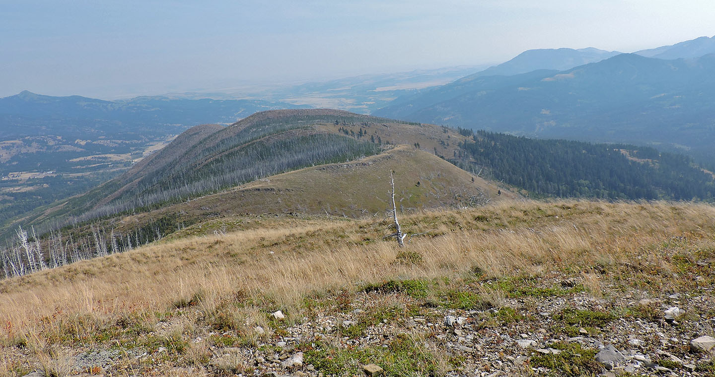
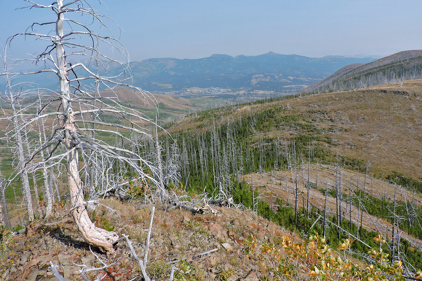
Looking down at the north ridge
We dropped down the south slope to view a subsidence pit
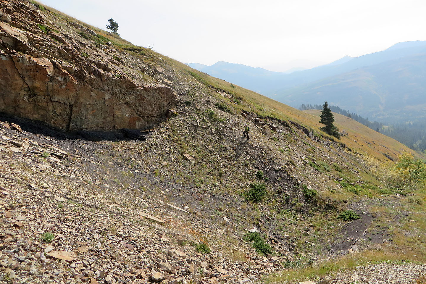
I'm in the centre which shows how big the pit is
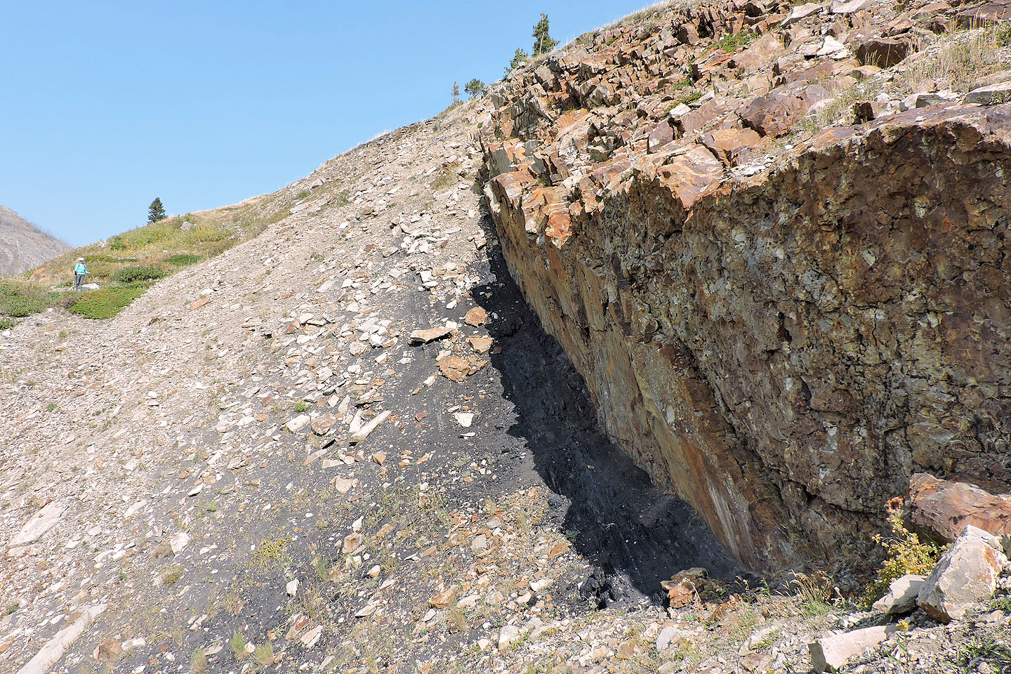
The coal seam was tilted almost vertical which made mining more dangerous
After leaving the pit, we headed to the north ridge
A faint animal trail provided a level pathway along the slope
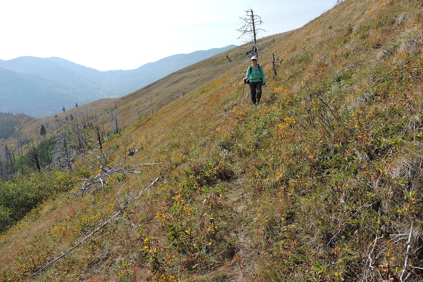
Looking back
We turned back when the ridge dropped off sharply and was covered with deadfall
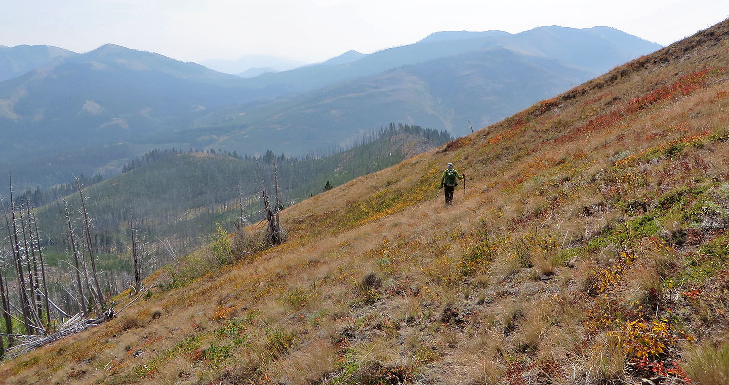
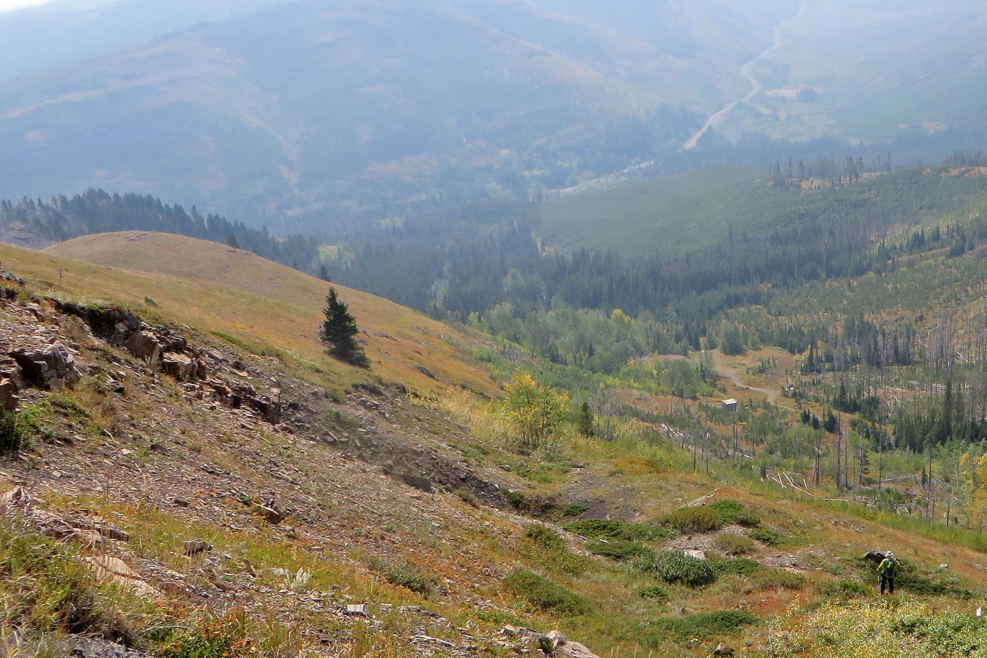
We made our way to a low point on the east ridge
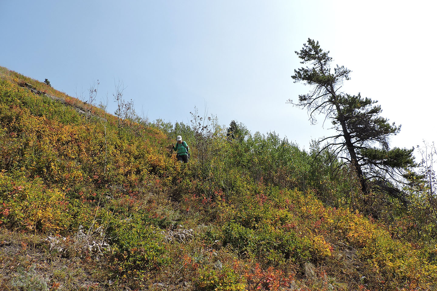
Coming down, we would eventually be forced to bushwhack in the dense trees on the lower slope
Back on the road. Byron Hill on the right.
82 G/9 Blairmore