bobspirko.ca | Home | Canada Trips | US Trips | Hiking | Snowshoeing | MAP | About
Greenhill Ridge
Crowsnest Pass, Alberta
March 7, 2015
Distance: 7.3 km (4.5 mi)
Cumulative Elevation Gain: 466 m (1529 ft)
Hiking the Historic Crowsnest Pass paints Greenhill Ridge as an absorbing hike through mining sites with buildings and equipment dating back several decades. Dinah and I had visited the lower Greenhill mining site in 2007 and now we returned to see the upper site as well as reach the summit. But things have changed since we were there. Fences and warning signs abound. No longer can anyone wander freely about the sites. The summit of Greenhill, however, is still accessible.
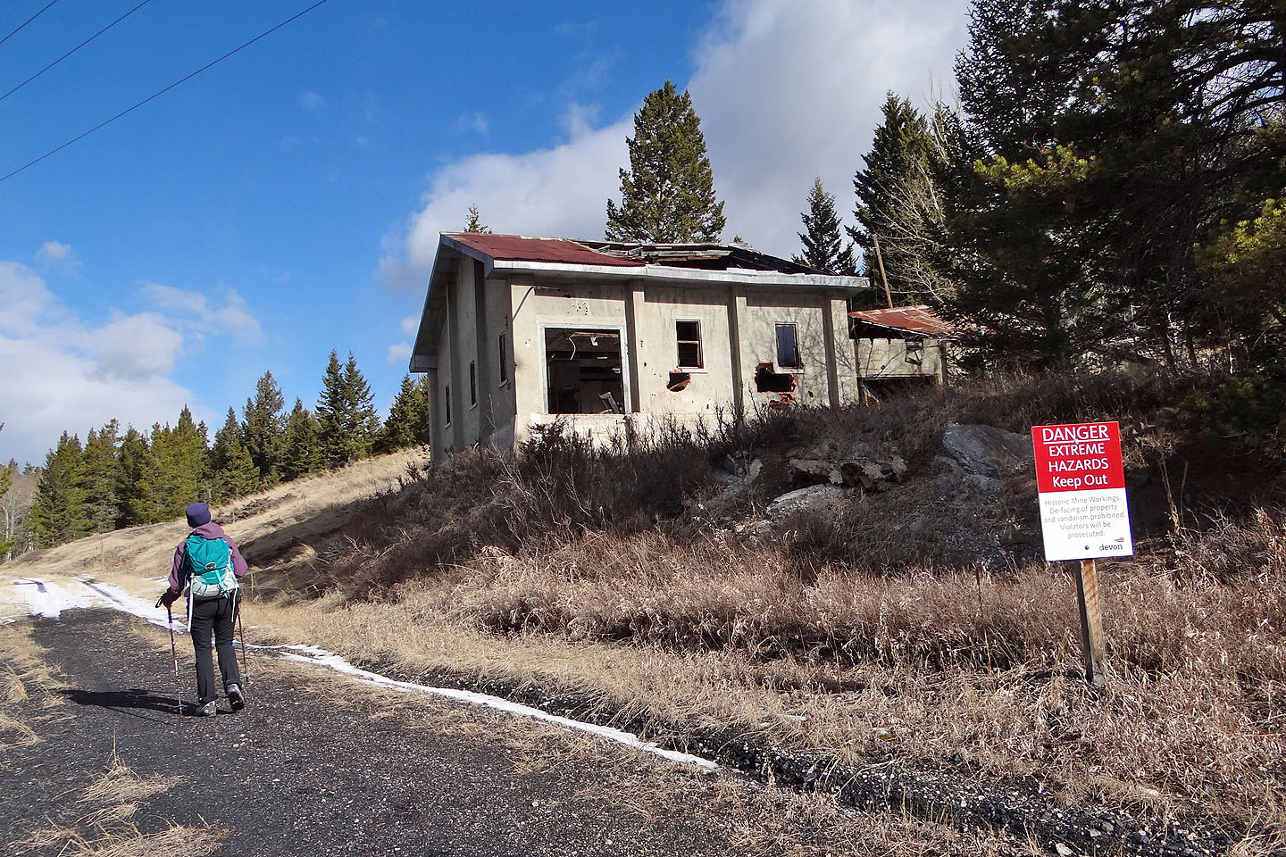
Sonny, Dinah and I parked on Grassy Mountain Road by the lower mining site and started up the road. Right away I could see things had changed. Most of the buildings Dinah and I visited before were now surrounded by a high fence topped with barbwire.
Continuing up Grassy Mountain Road, we soon reached a side road that passes the hoist house. I was hoping we could use the power line right-of-way to gain the ridge on our right, but when we came to it, it was fenced off: No Trespassing signs posted. We continued along the road until we came to a rough side road, possibly a logging road as it took us to a cutblock. The road ends, but after hiking up the wooded slope a short distance, we hit an overgrown mining road that took us to a ridge crest road. We followed it to the summit. Trees prevented panoramic views, but the scenery was still worthwhile.
Heading back, we decided to take the crest trail as far as we could. As we expected, we ran into a fence marked with No Trespassing signs. Hoping for an easy way down the west slope, we started down a road, but when it ended, we made our way back to the fence line and followed it down to the road leading to the hoist house, the one building that wasn’t fenced in. Mindful of the dangers of entering a derelict building, Sonny and I ventured inside to look at the enormous gears that drove ancient machinery. Then the three of us were back on the road, heading to our car.
More than just a hike, Greenhill Ridge is a glimpse into Crowsnest's mining past when iron and wood ruled instead of plastic and silicon. It's difficult to imagine the hardships of life back then; we can only wonder how people managed without cell phones, TVs and Tim Horton’s coffee.
Sonny's Trip Report
KML and GPX Tracks
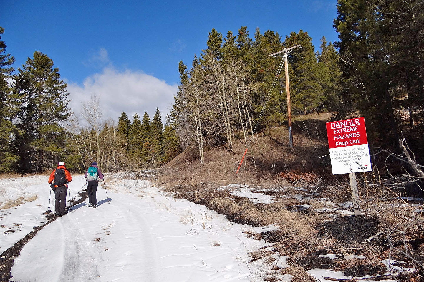
Soon after starting up a side road we see the first of many warning signs (mouse over)
We passed the hoist house
We left the side road to take a road leading to a cutblock
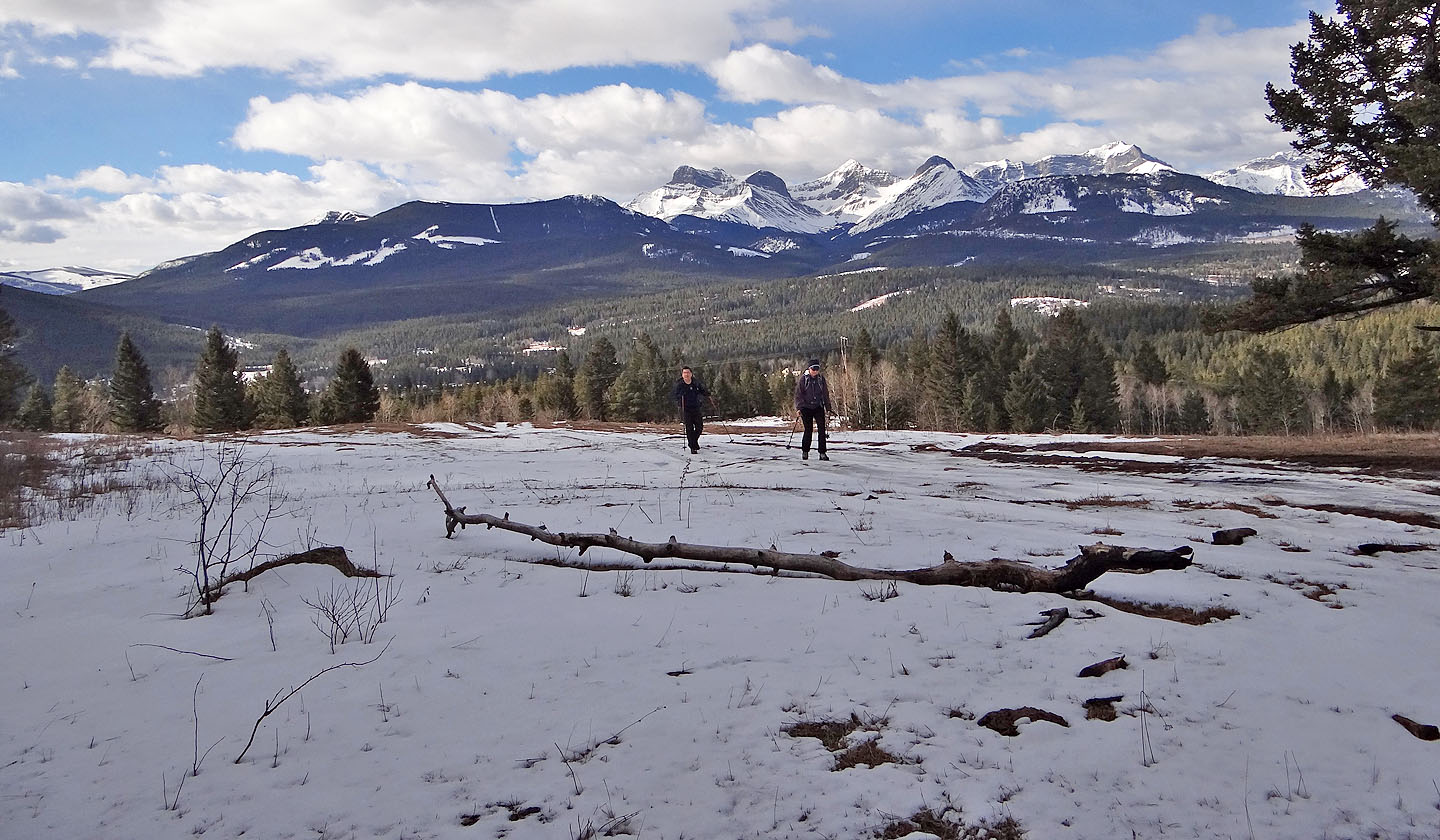
Behind us is the Flathead Range
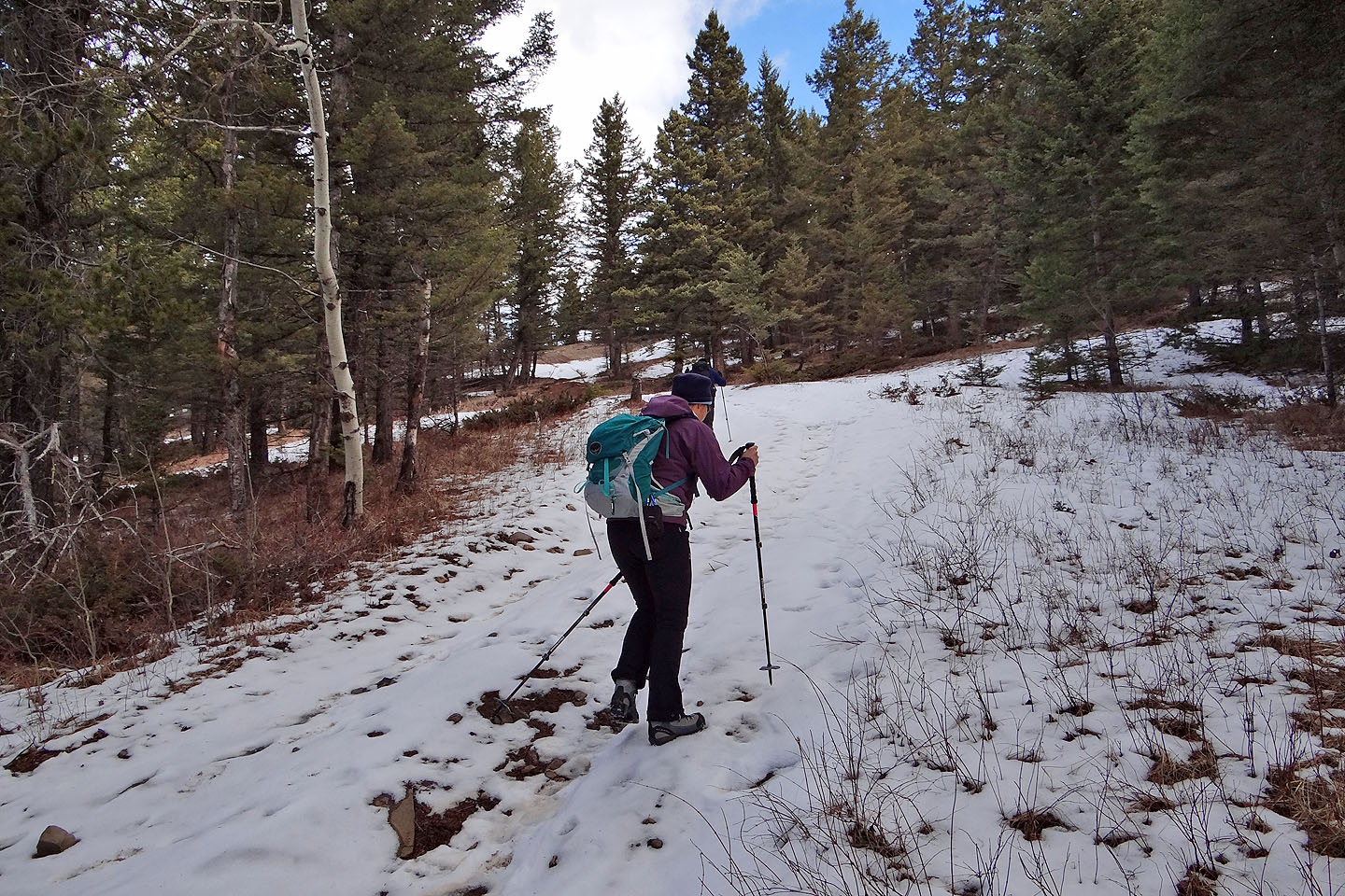
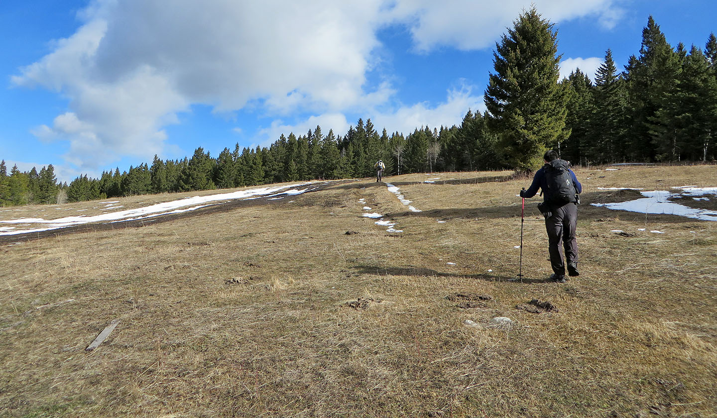
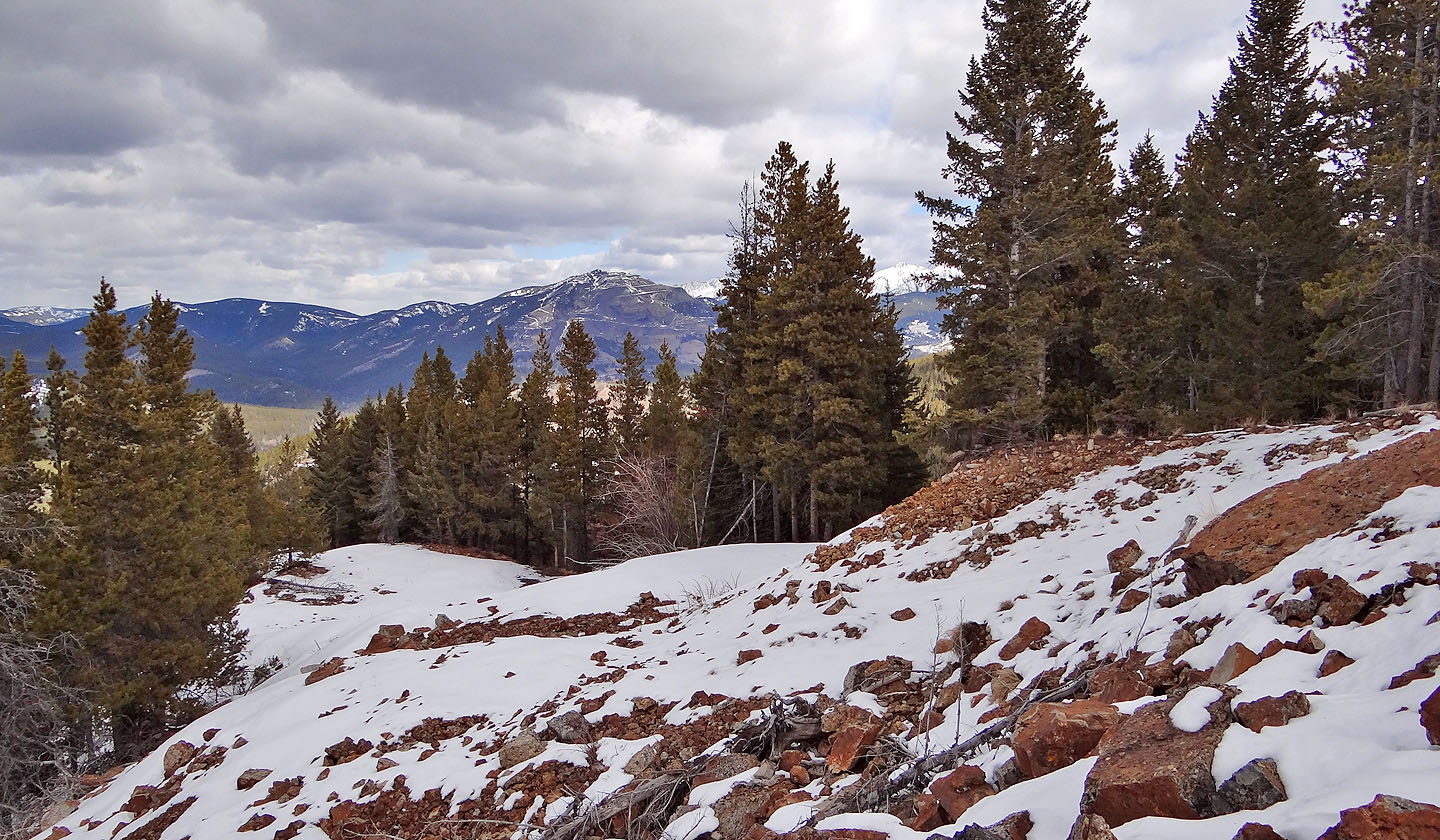
The road climbs through trees
From a clearing we see Greenhill Ridge
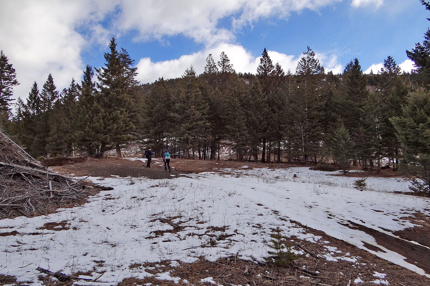
After the road ends, we started up a cutblock
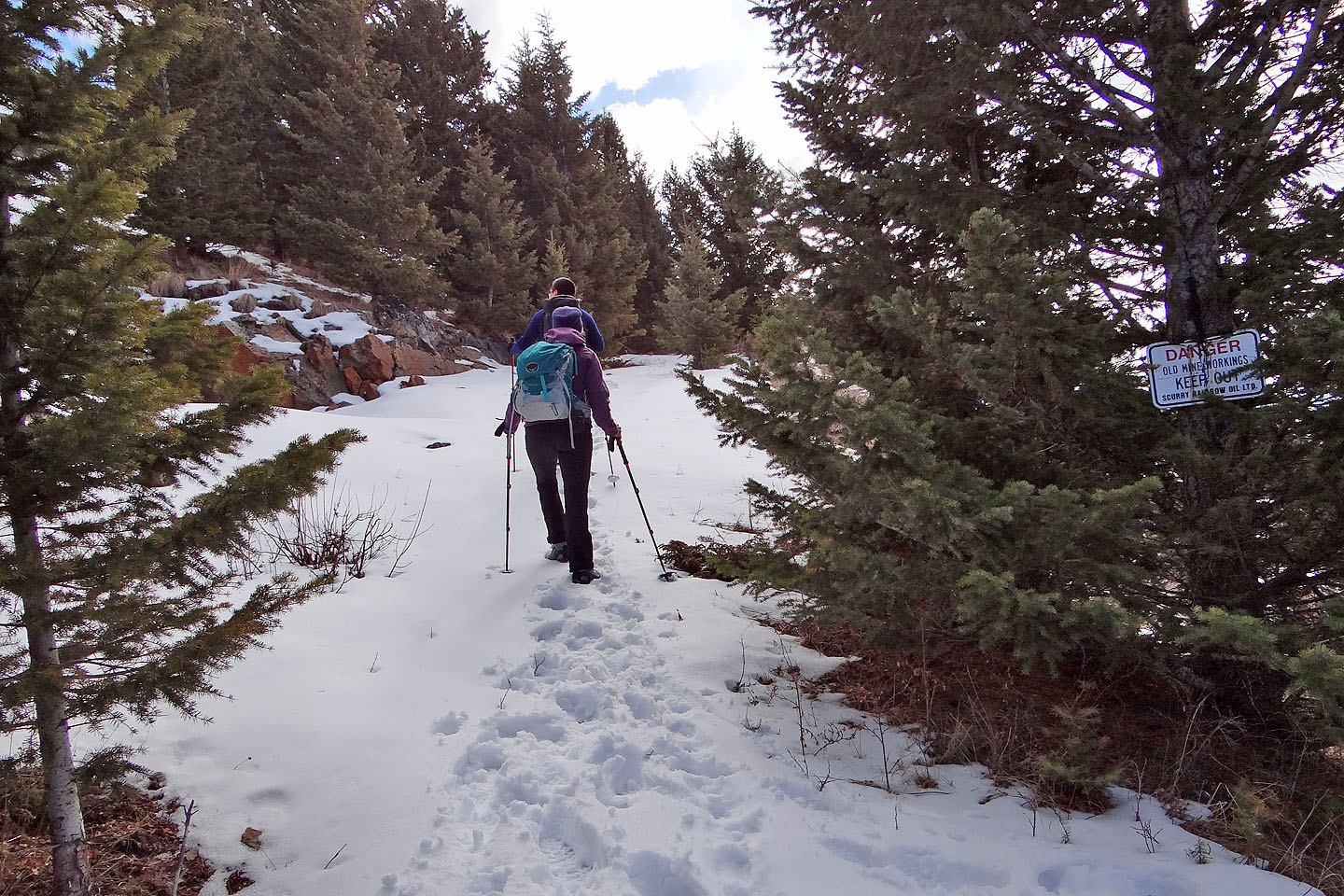
We caught a road that runs up to the ridge. There were more warning signs (mouse over).
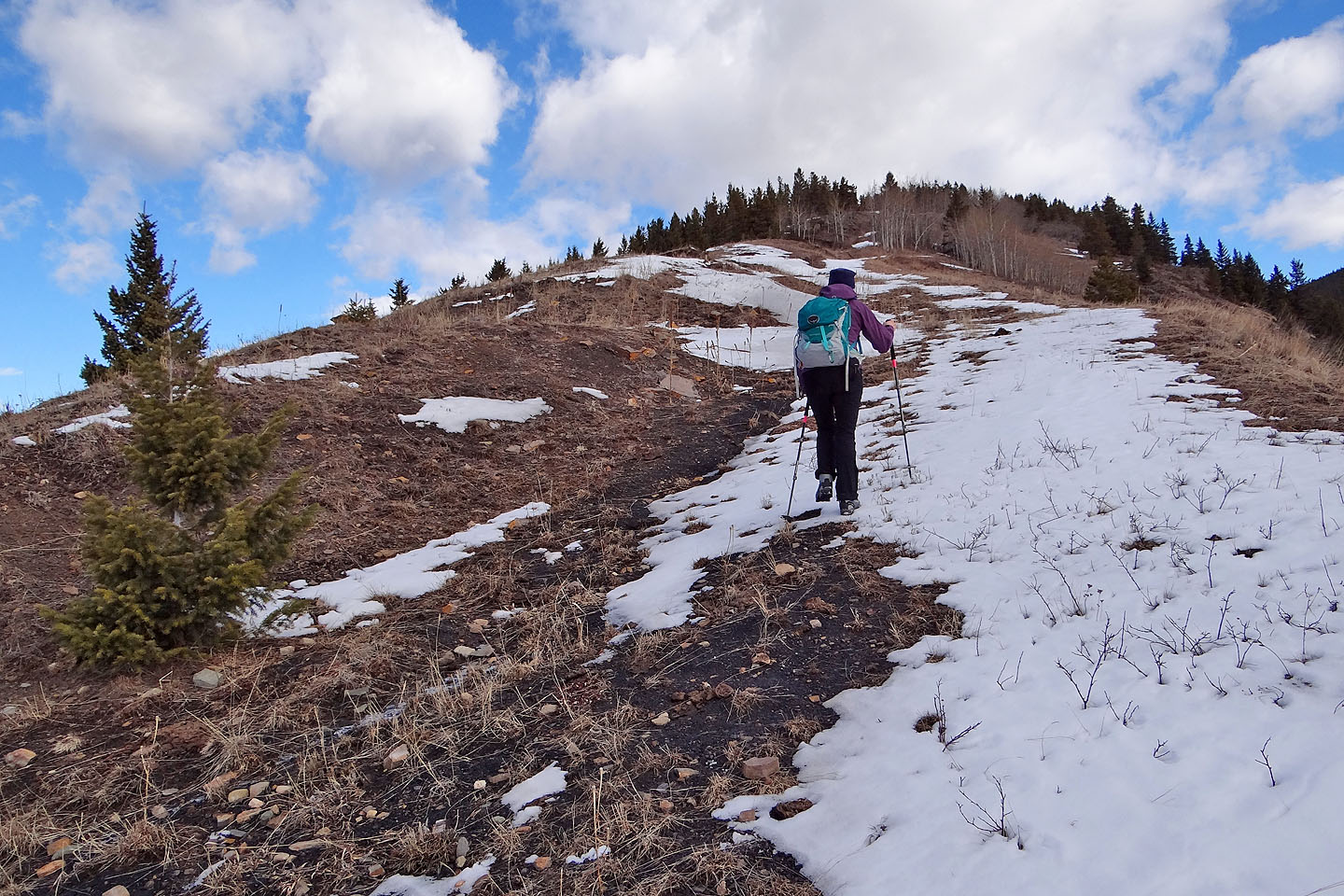
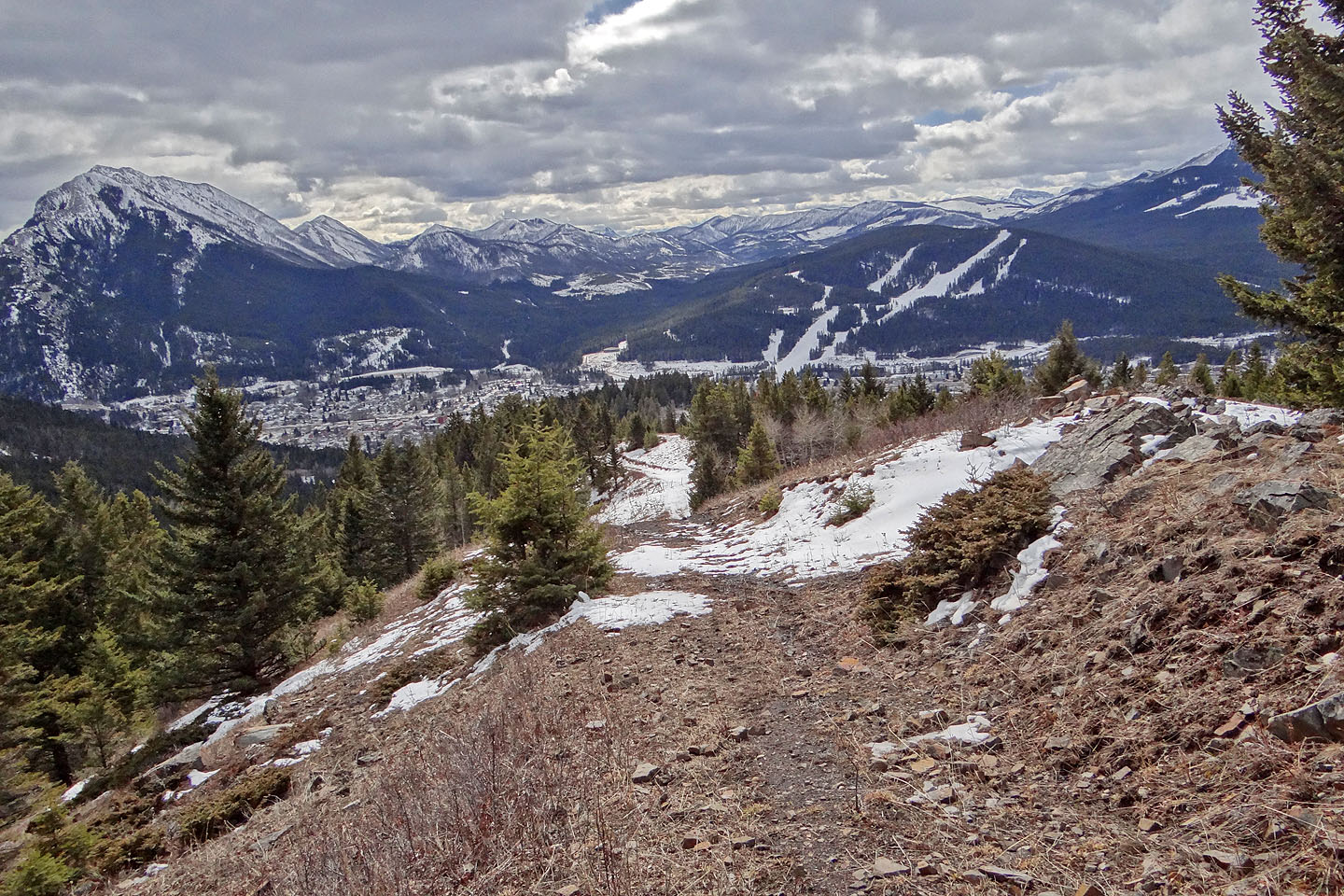
Hiking up the crest road
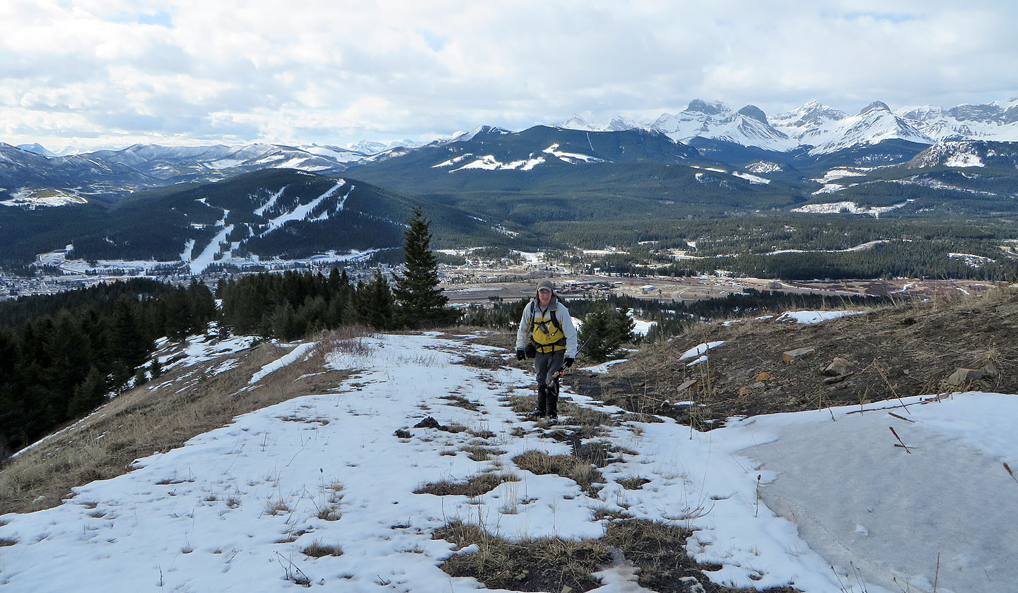
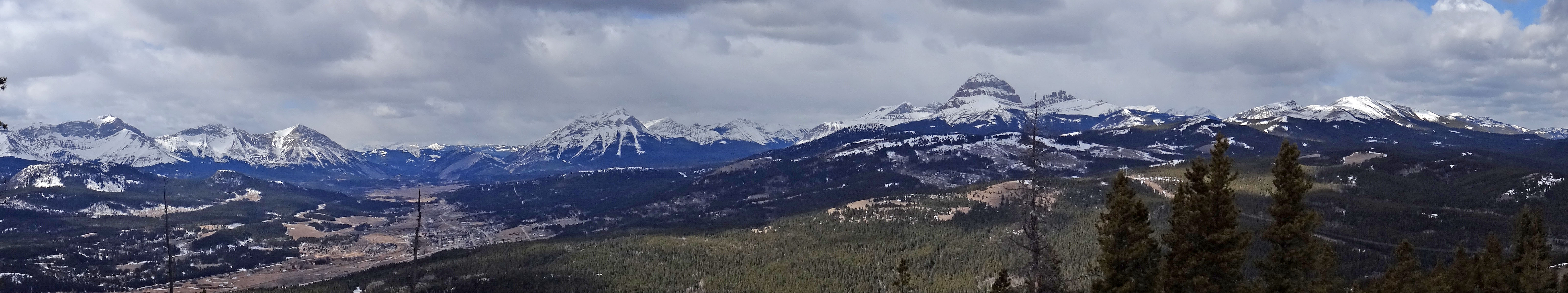
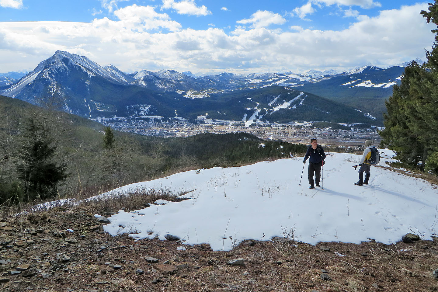
Expansive views south
I stopped to check out a support for the cableway (mouse over)
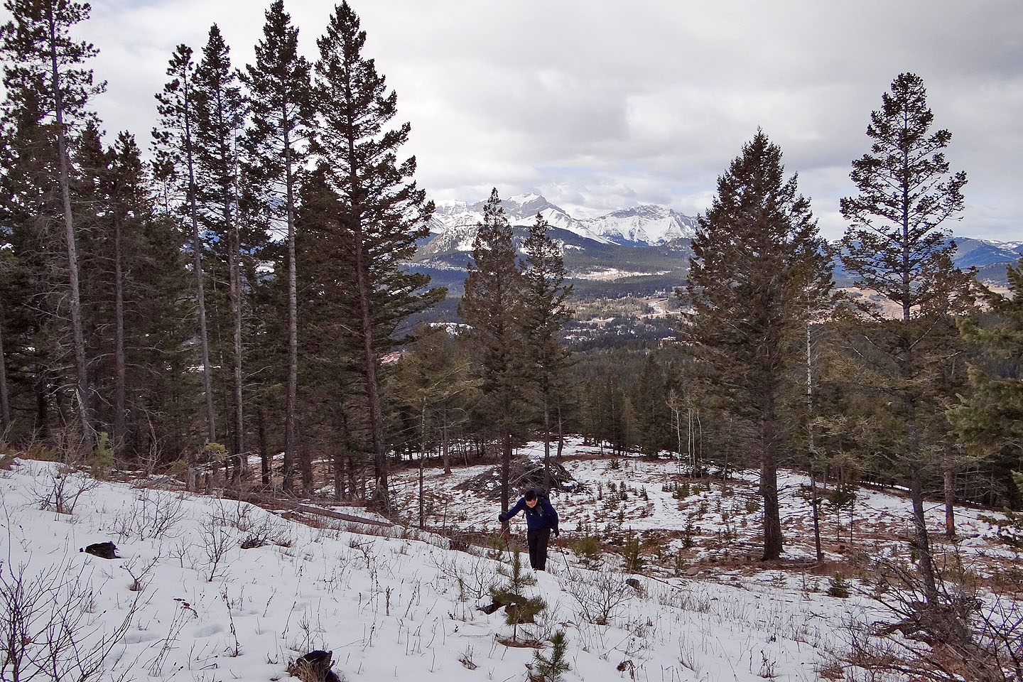
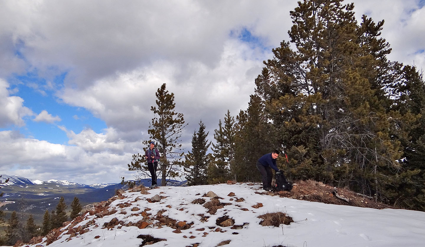
Looking back from a clearing near the summit
The summit
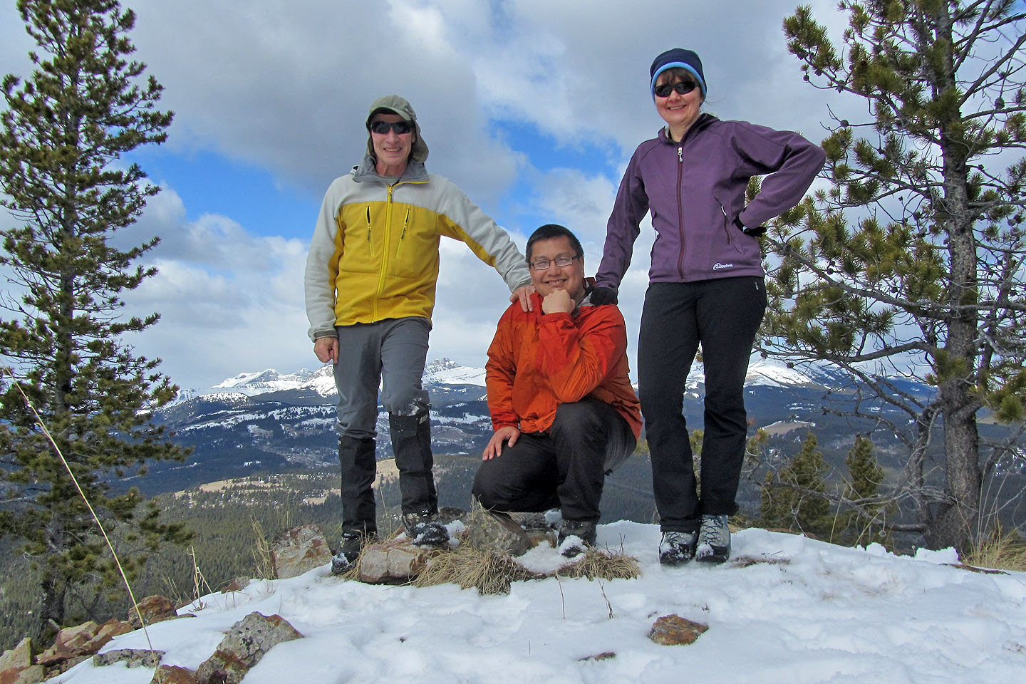
Posing on the top of Greenhill Ridge
Looking north at Grassy Mountain (mouse over for a close-up)
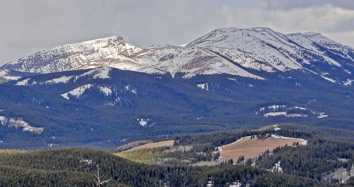
Ma Butte and McGillivray Ridge
Bluff Mountain blocks views to the east
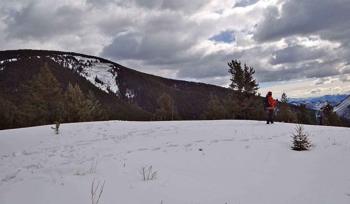
We descended the crest trail as far as a fence
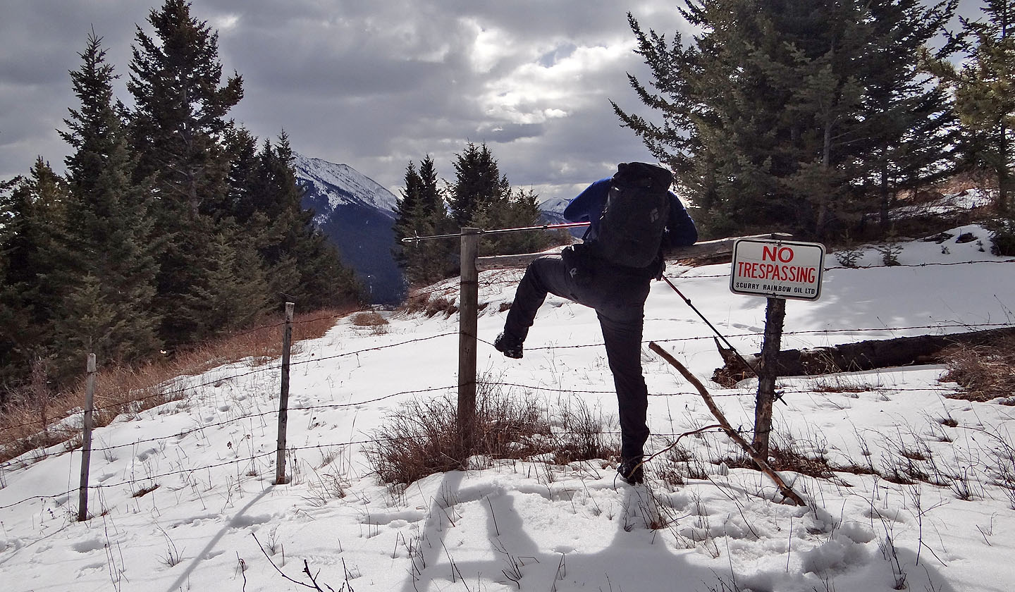
Sonny feigns an attempt to trespass
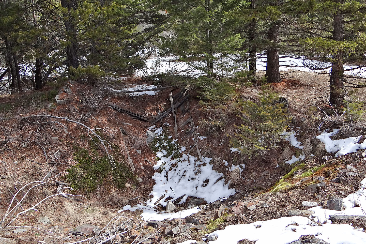
Subsidence pits like this shallow one may be dangerous
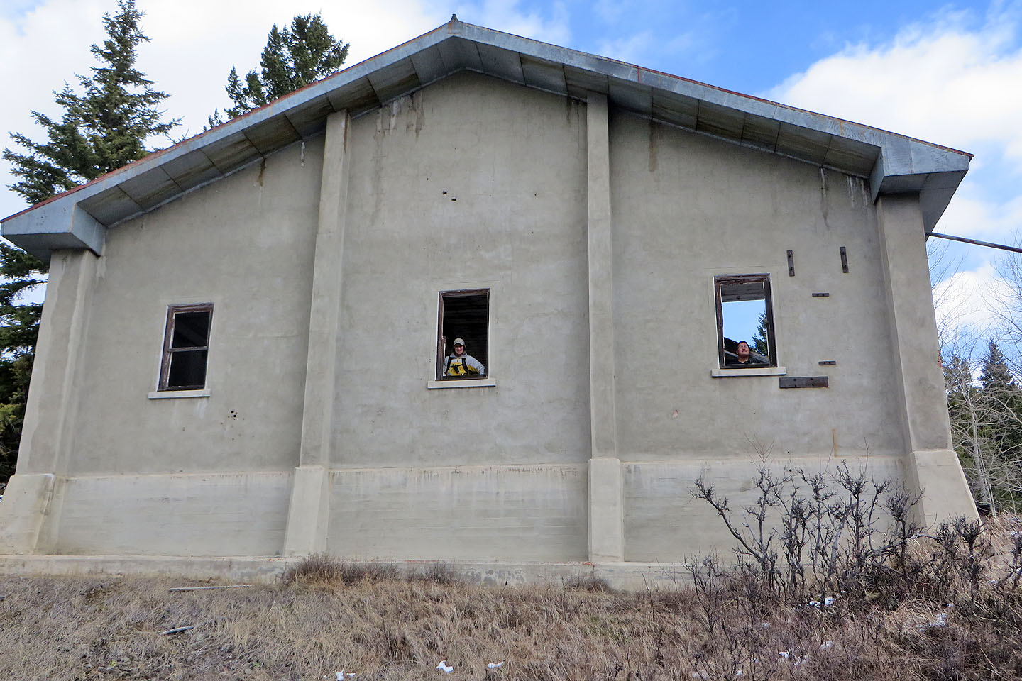
Back at the hoist house, Sonny and I look out the windows (mouse over)
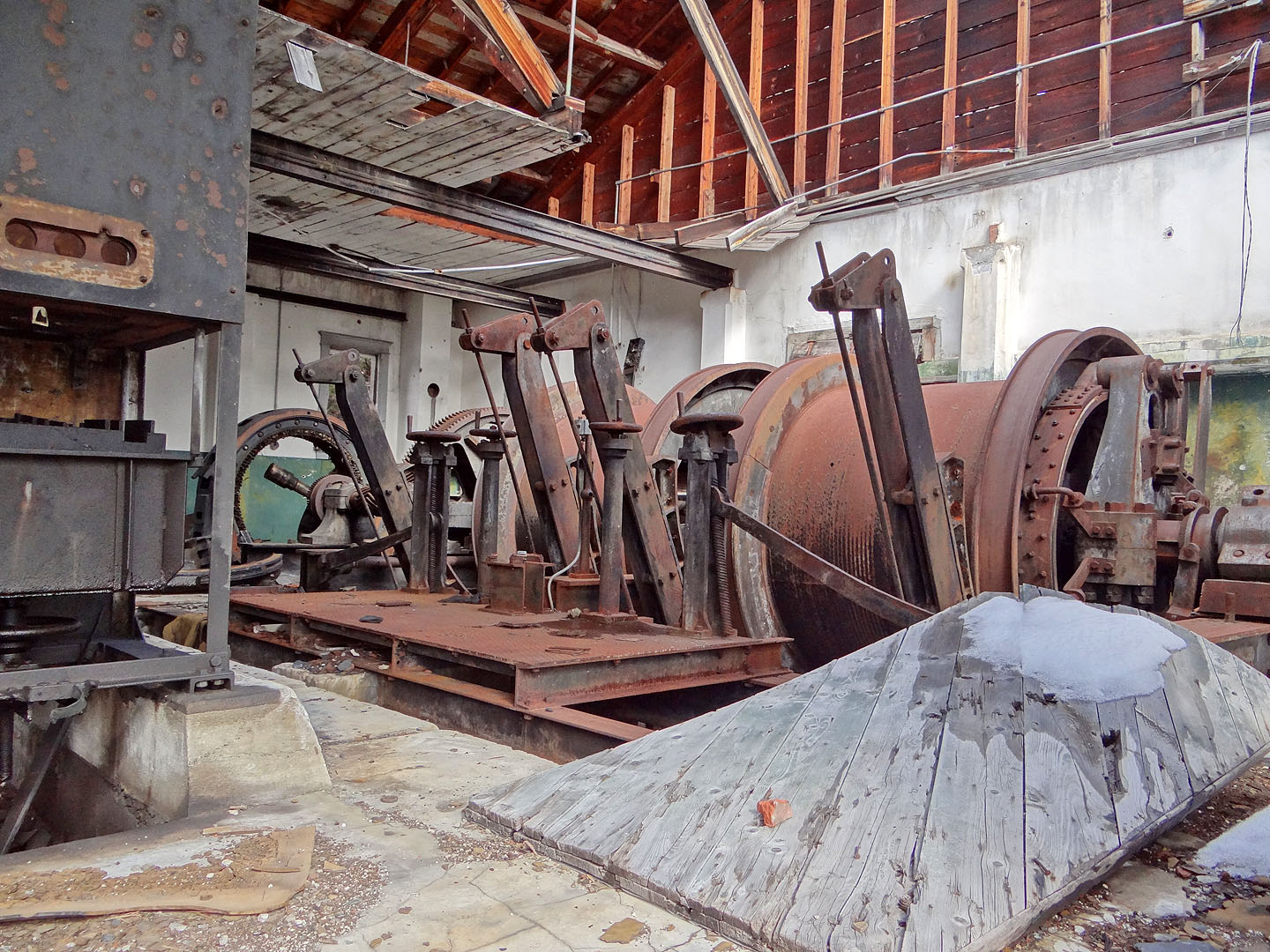
Inside the hoist house
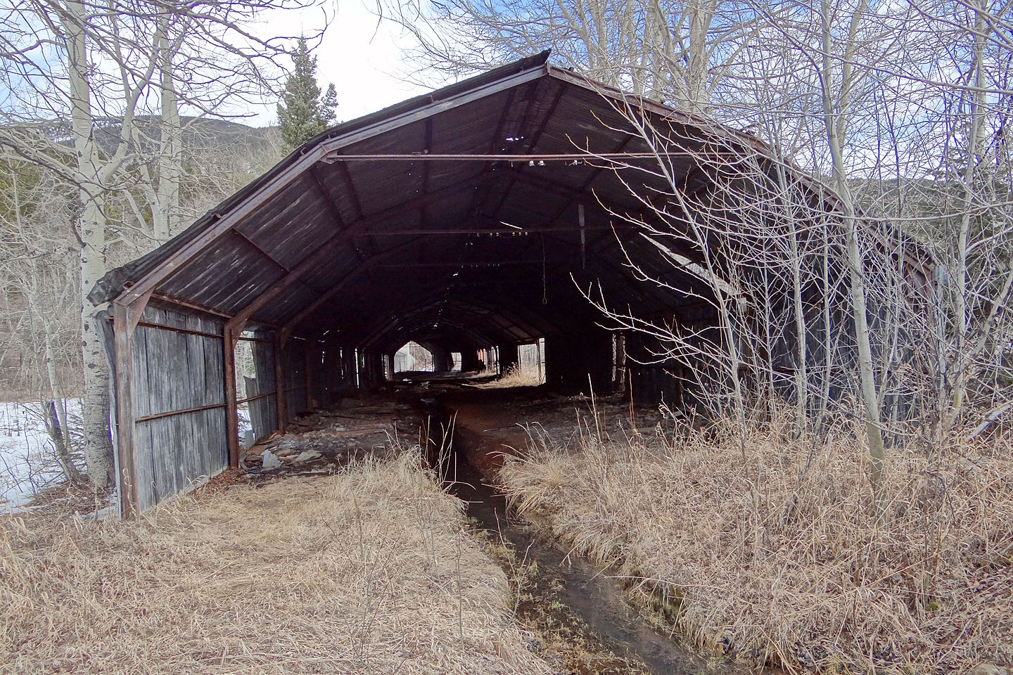
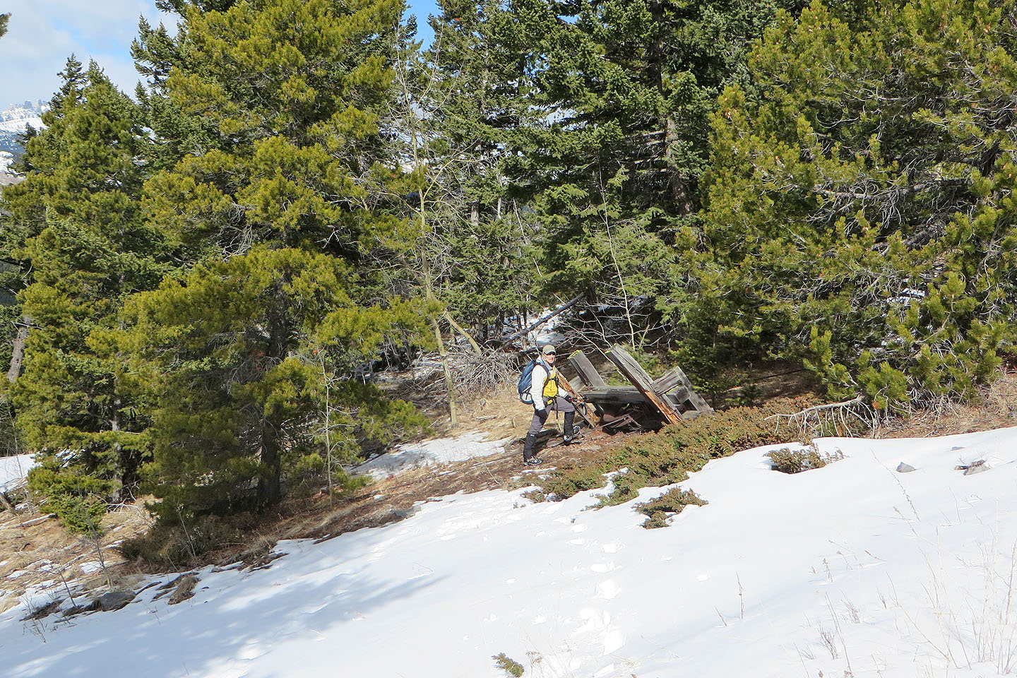
A long shed sits in front of the mine
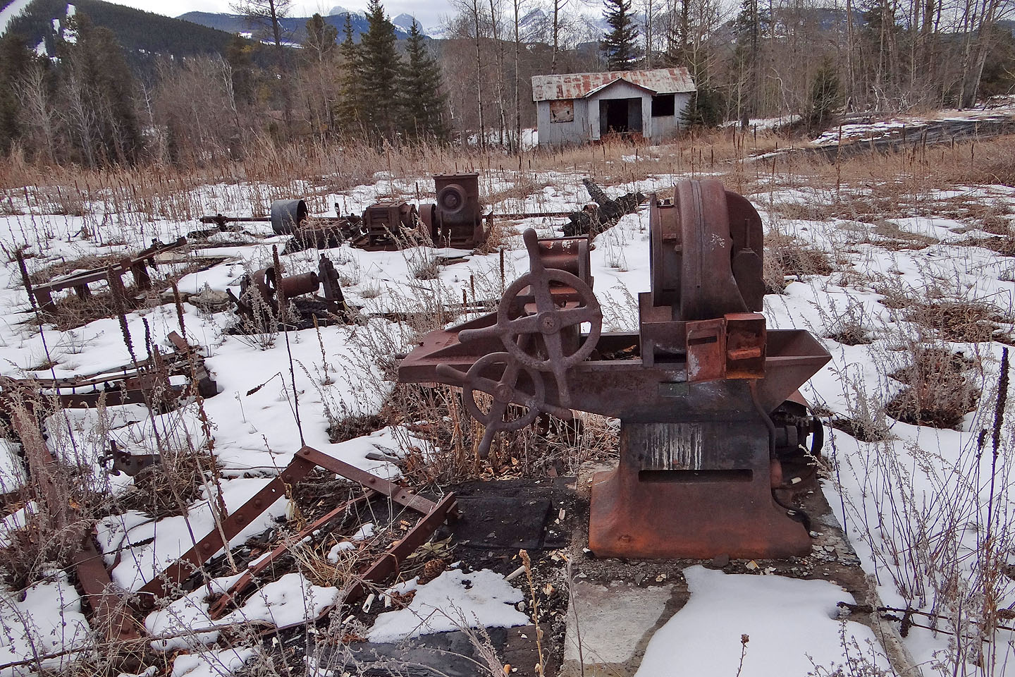
Machinery lies scattered in front of the dynamite house, one of the few buildings at the lower mining site not fenced in.
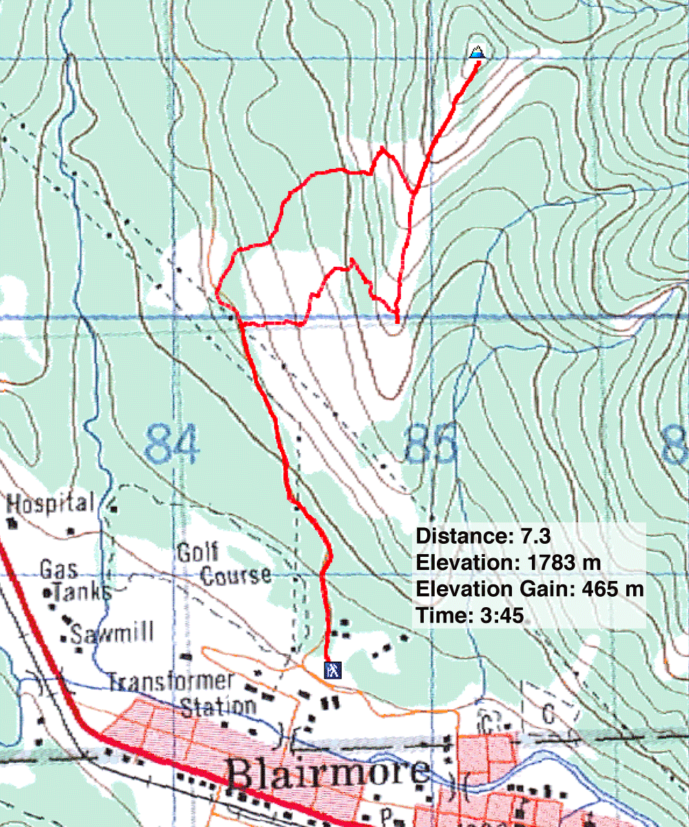
82 G/9 Blairmore