bobspirko.ca | Home | Canada Trips | US Trips | Hiking | Snowshoeing | MAP | About
Cryon Hill
Crowsnest Pass, Alberta
May 9, 2026
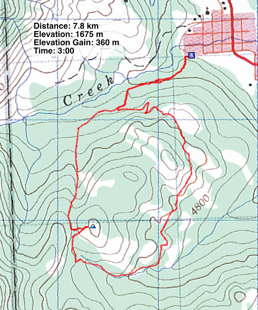
Distance: 7.8 km (4.8 mi)
Cumulative Elevation Gain: 432 m (1475 ft)
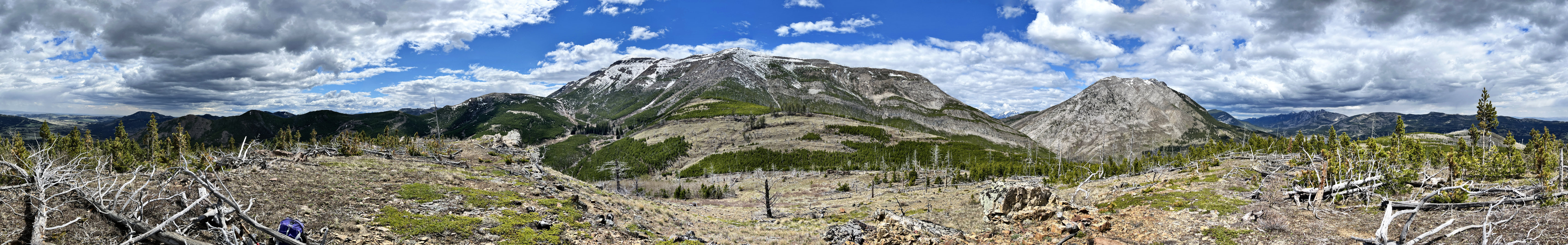
Cryon Hill offered a pleasant spring hike in Crowsnest Pass. While taller mountains to the west were still snow-covered, its 360° summit was dry. Conveniently, a broad trail passes within 150 m of the summit. Cryon Hill appears on peakery.com, while Drum Creek Trail can be found on Alltrails. The trail is an exploration road accessed by a brief footpath. After parking at the trailhead, I hiked a couple of minutes up the path to the old road.
After walking 500 m up the trail, I passed the remains of a large mining building. Certainly worth a closer look, and I did so on my way back. I continued up the trail, paying attention to intersections which often appeared. After passing a trail on my left, the end of the loop, I turned left at the next intersection. This trail runs over the pass between Cryon Hill and Hillcrest Mountain. The trail was mostly treelined, but opened up on the pass. I stepped off the trail and headed to the summit of Cryon.
I threaded through a maze of deadfall to reach the broad top. Hillcrest Mountain and Turtle Mountain dominated the view west, but I recognised smaller peaks such as Robertson, Tallon, and Poker. I had planned on descending the northeast slope, through a pine forest to an enticing meadow. But it proved to be impractical. Hidden in the dense forest were piles of dead trees, creating a nearly impenetrable maze. After a short fight, I turned around and returned to the trail to complete the loop.
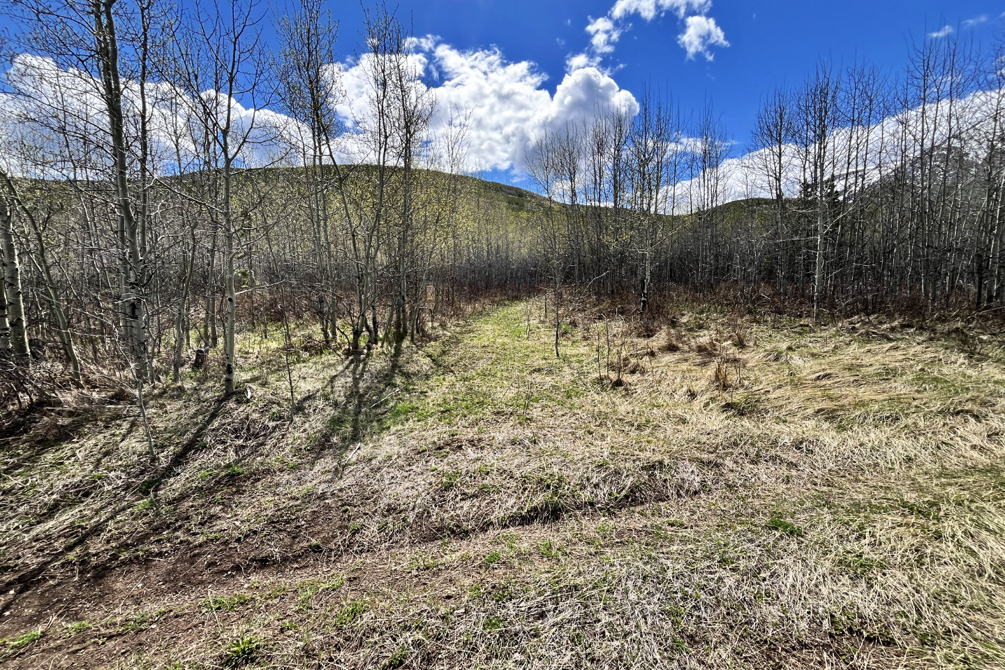
Like the first section, the trail passed through a few clearings that offered pleasant views, but it included
some ups and downs. I startled a ruff grouse on the trail, and it soon hid in the dense foliage lining the
trail. Likewise, a spruce grouse quickly disappeared. Aside from avian encounters, the return to my car was
unremarkable.
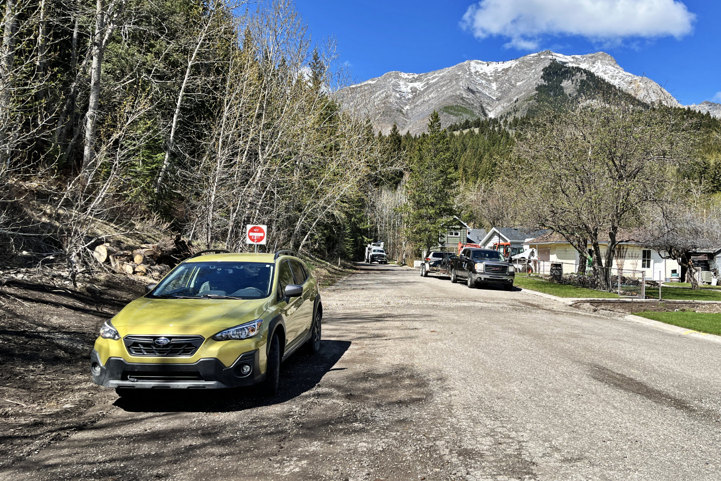 The trail begins at the red No Exit sign
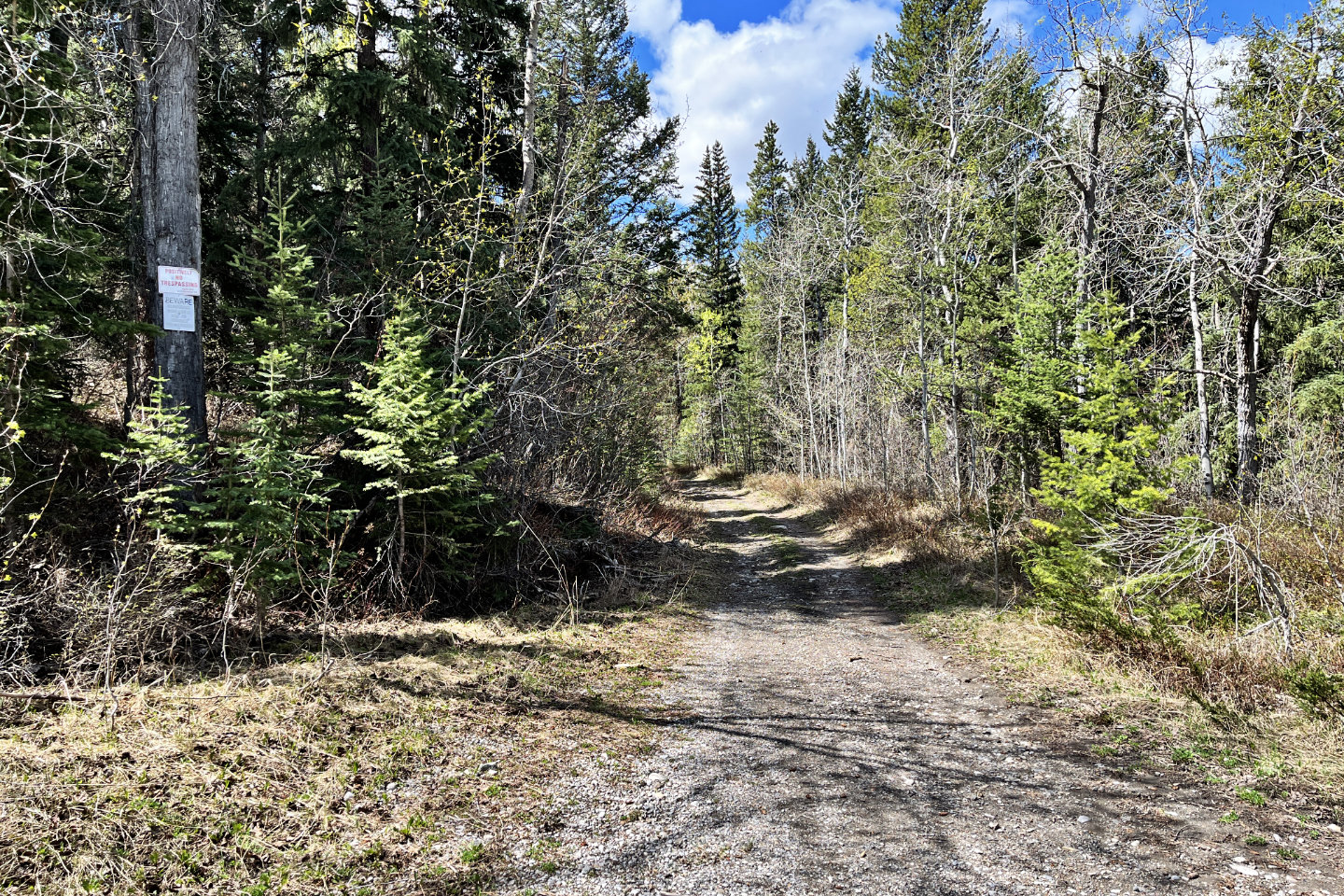 A 20 m footpath led to an exploration road.
Under a "Positively No Trespassing" sign, another reads: "Beware old mine workings. Owners assume
no liability for trespassers." In other words, if you trespass, be careful!
A 20 m footpath led to an exploration road.
Under a "Positively No Trespassing" sign, another reads: "Beware old mine workings. Owners assume
no liability for trespassers." In other words, if you trespass, be careful!
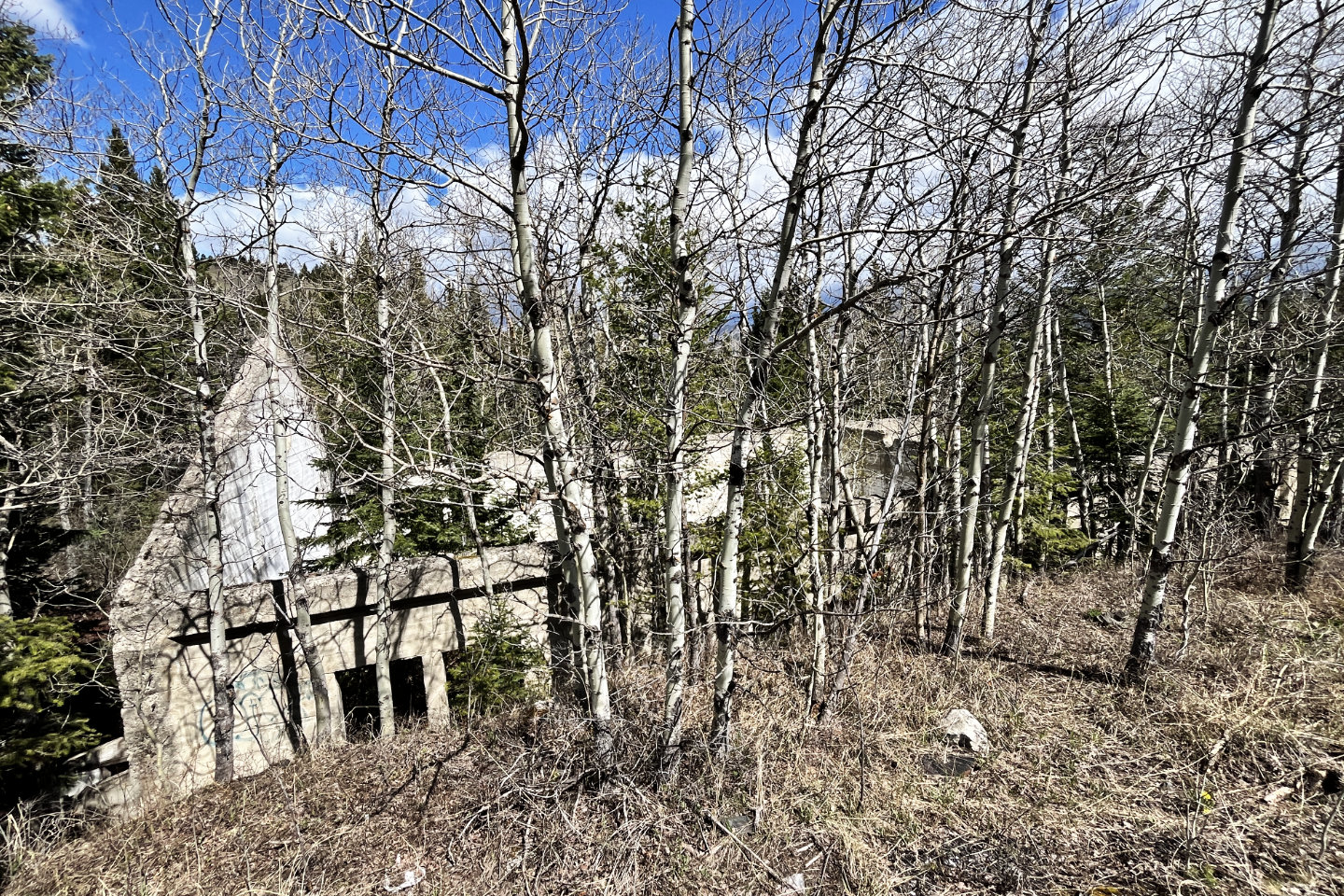 After hiking 500 m up the road, I passed a mining ruin
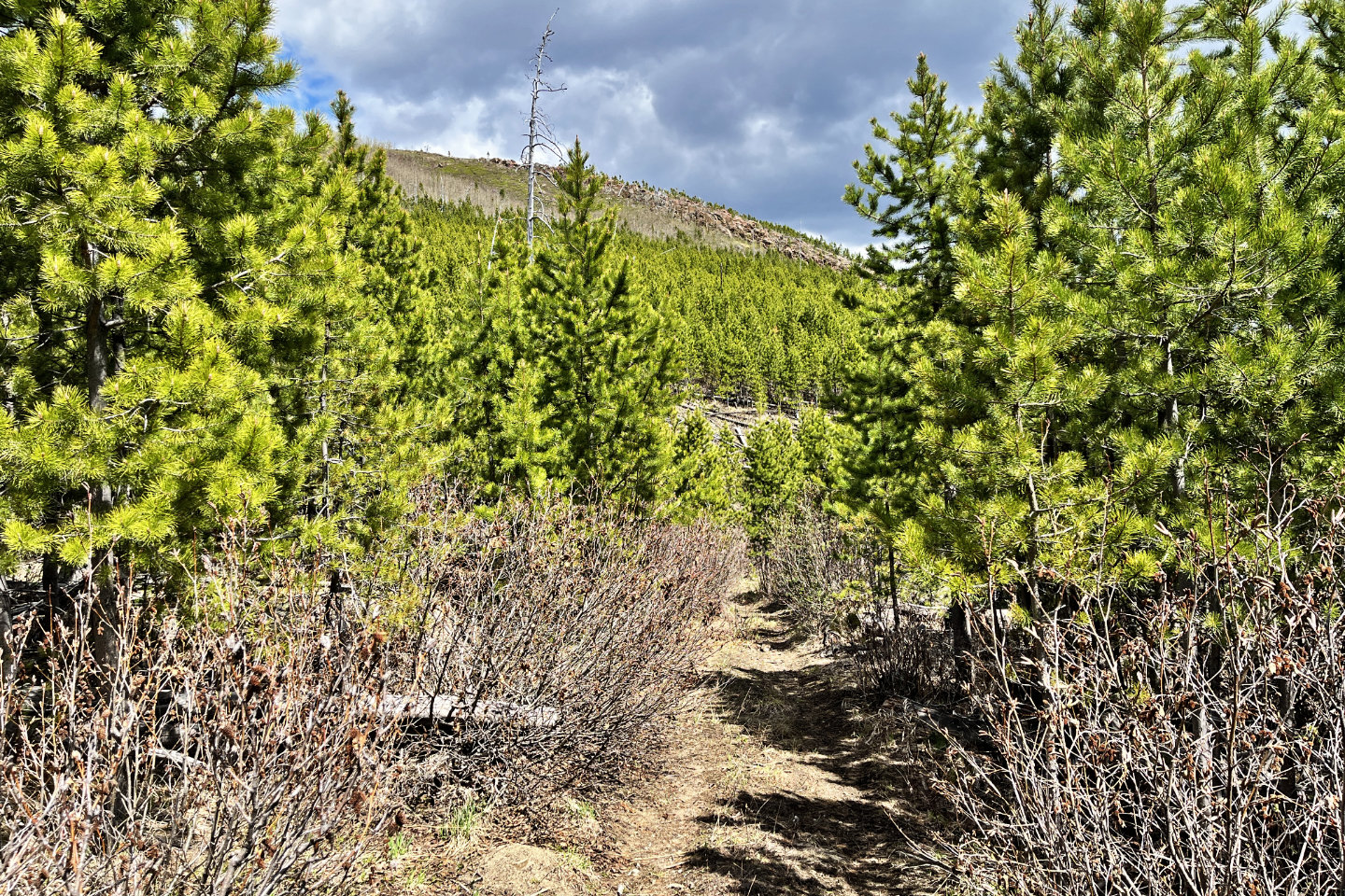
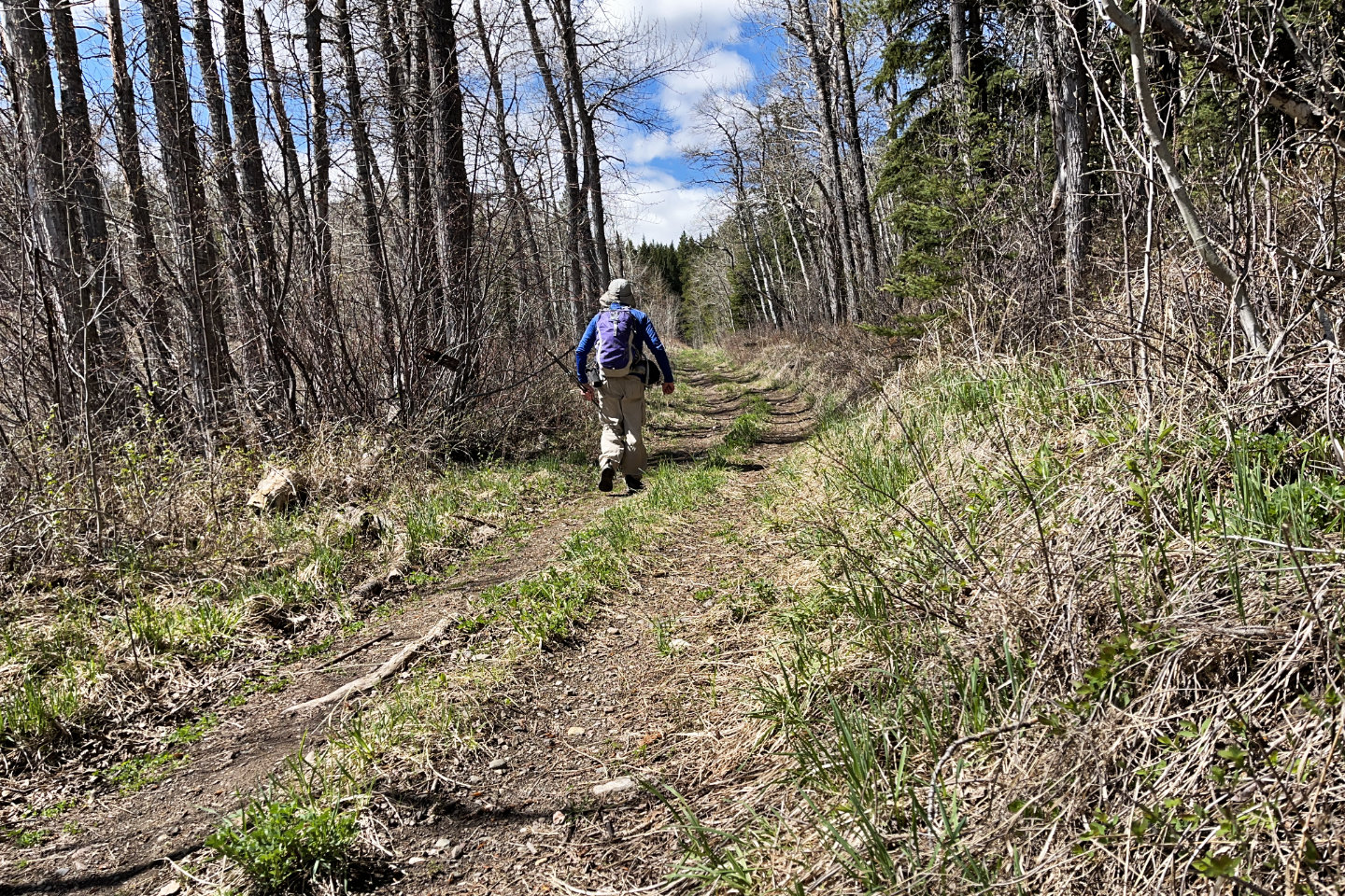 Continuing up the road
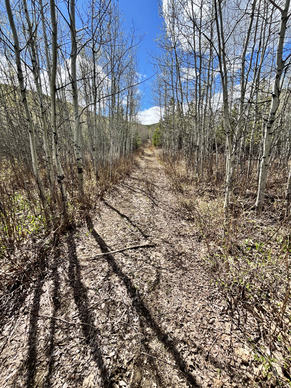
 I continued straight ahead when I reached the
start of the loop
I continued straight ahead when I reached the
start of the loop
 I turned left here
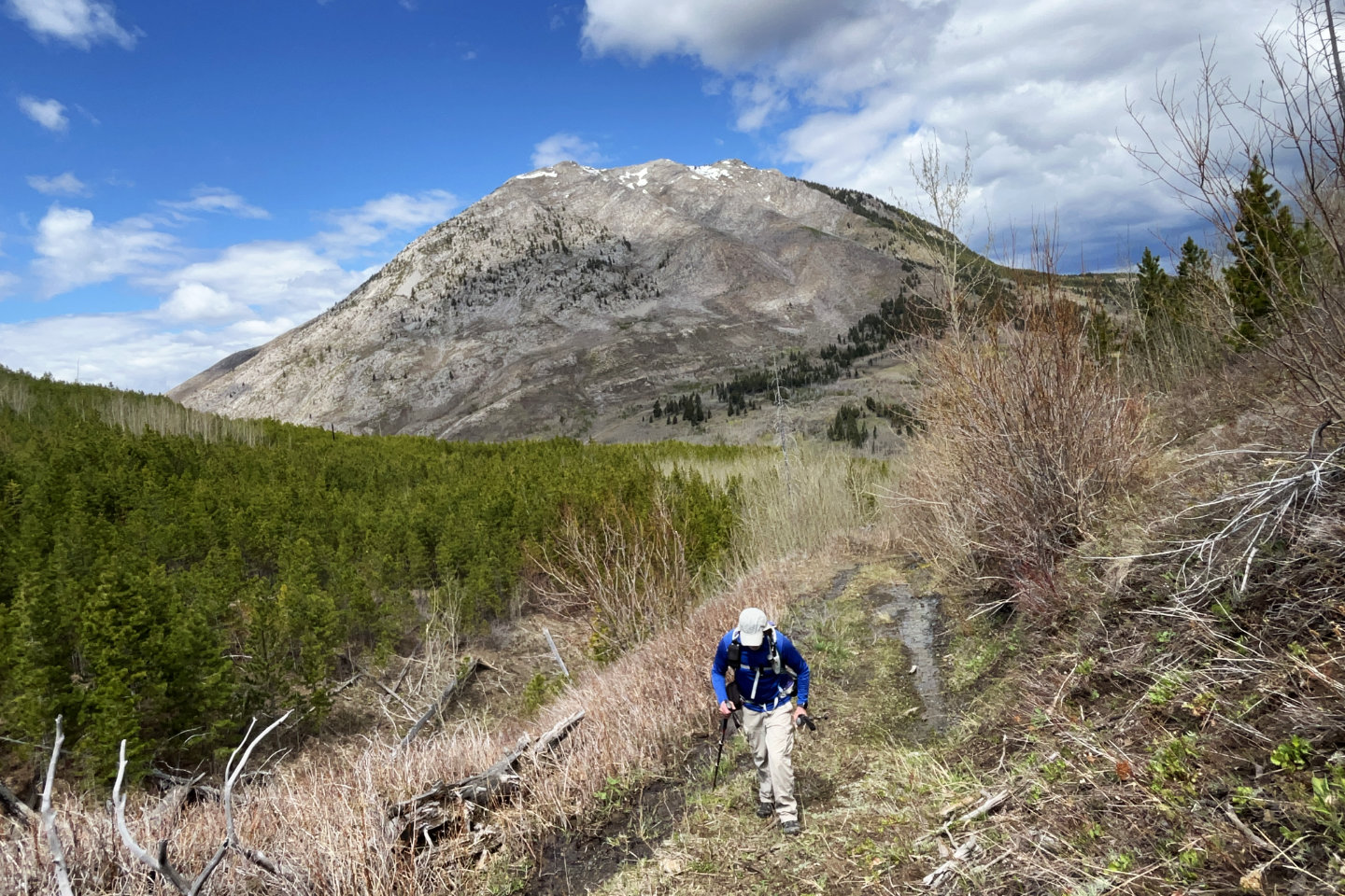
The trail runs to the pass
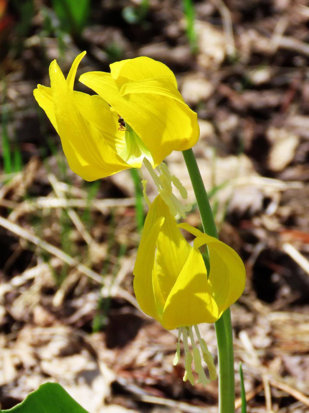
Glacier lilies lined the trail
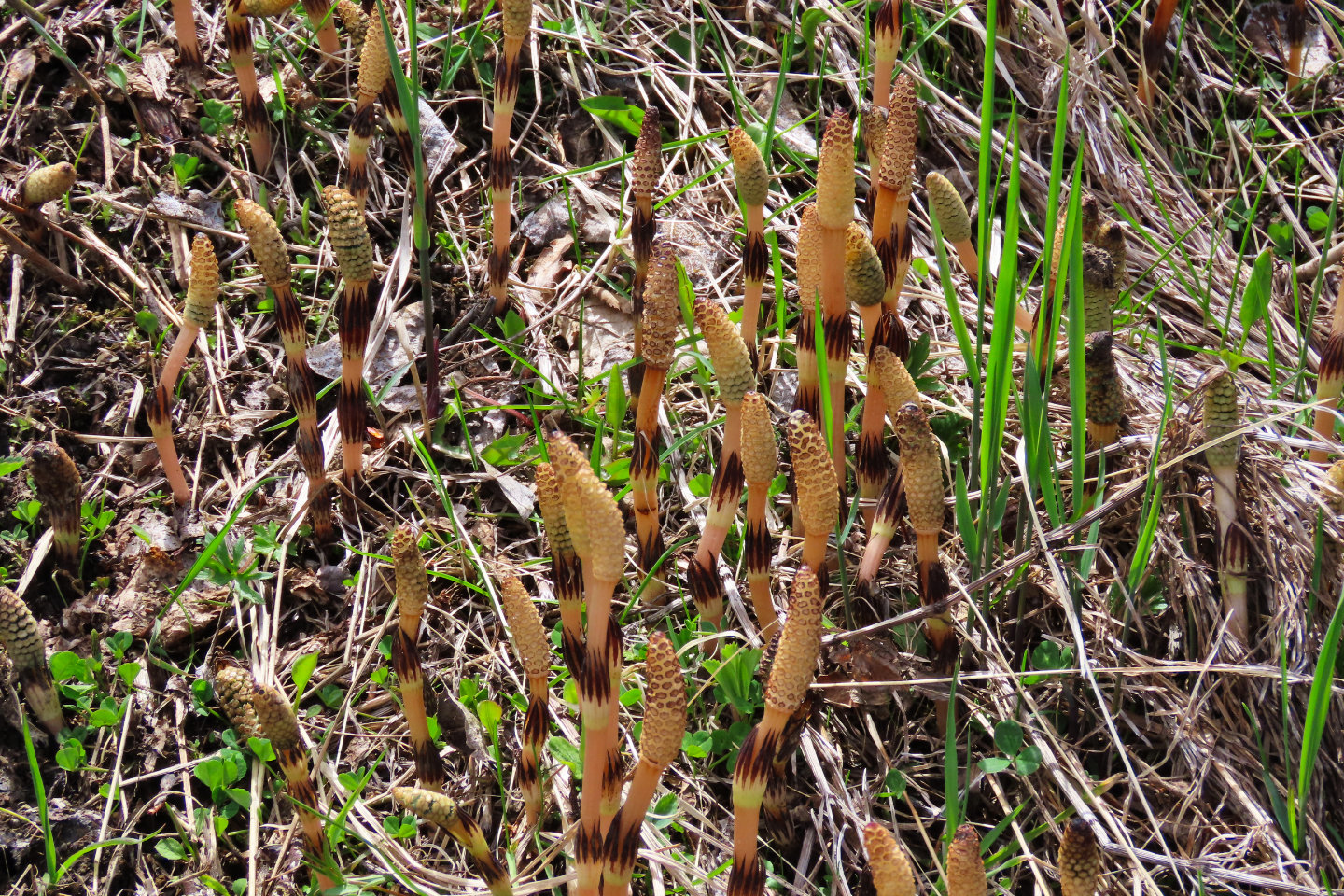 Horsetail shoots
 Behind is
Turtle Mountain
Behind is
Turtle Mountain
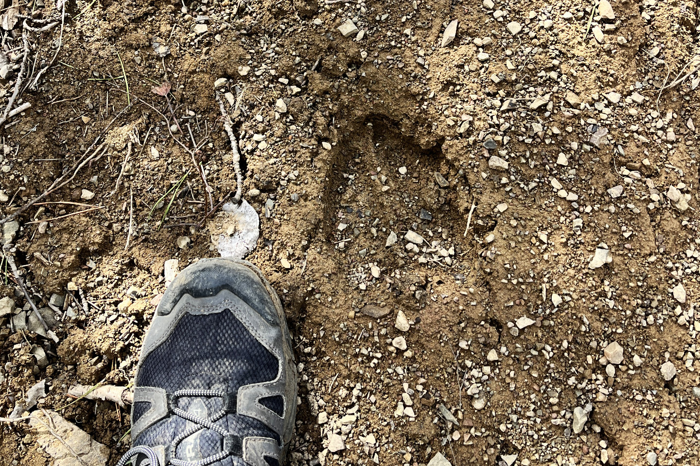 Looks like a moose went up the trail
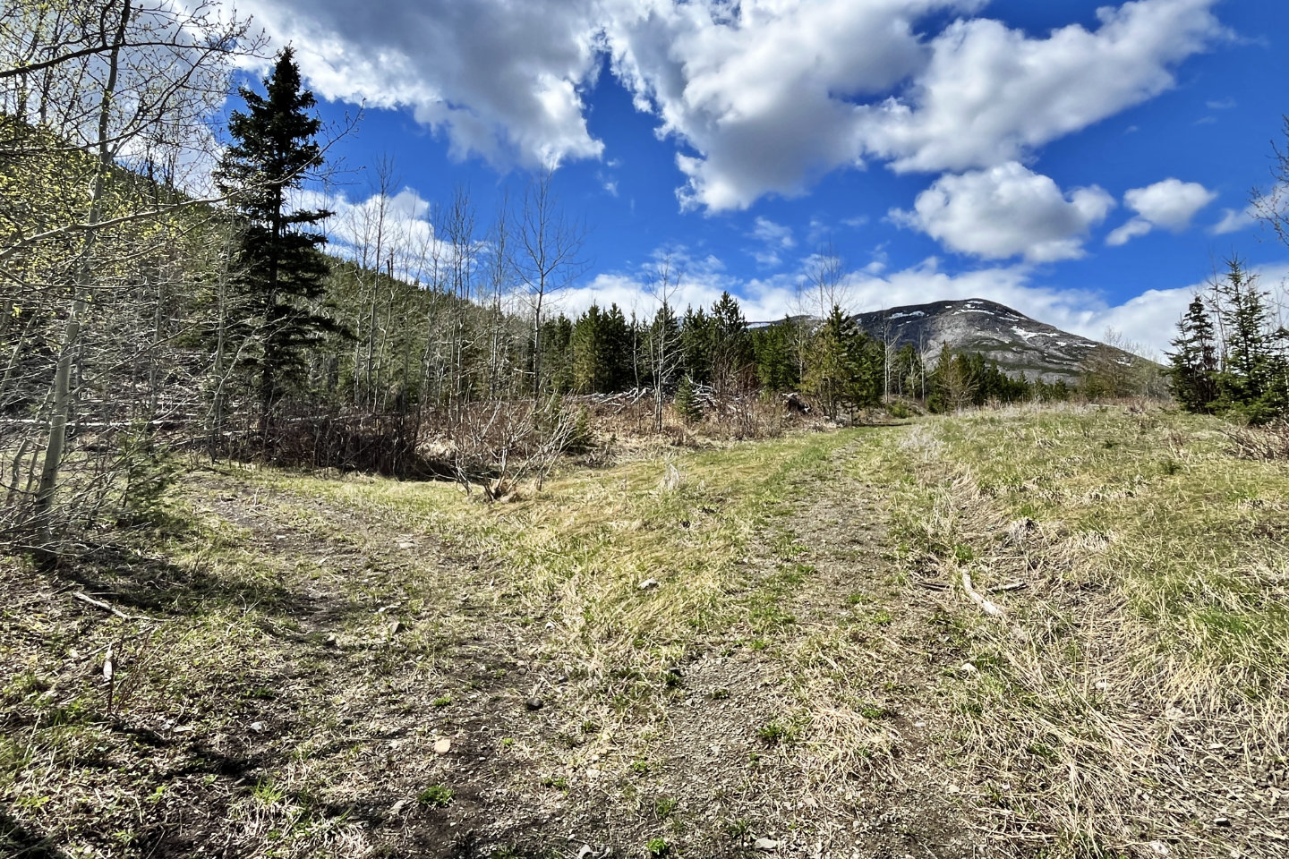
 The trail runs over the pass, but I went left to
reach the summit of Cryon Hill
The trail runs over the pass, but I went left to
reach the summit of Cryon Hill
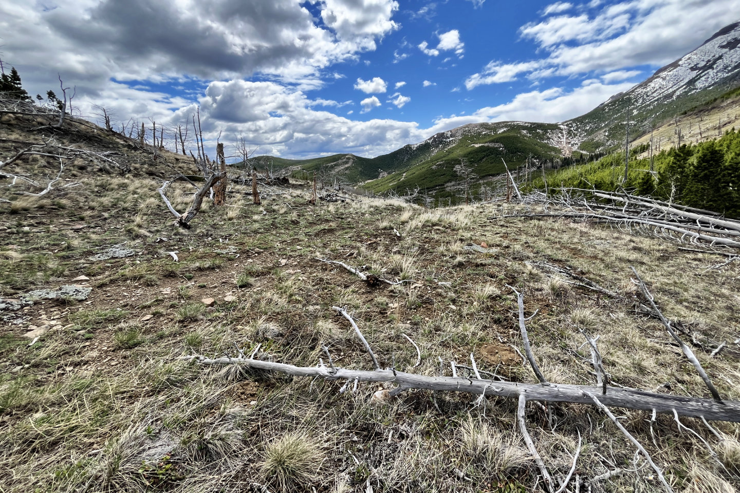
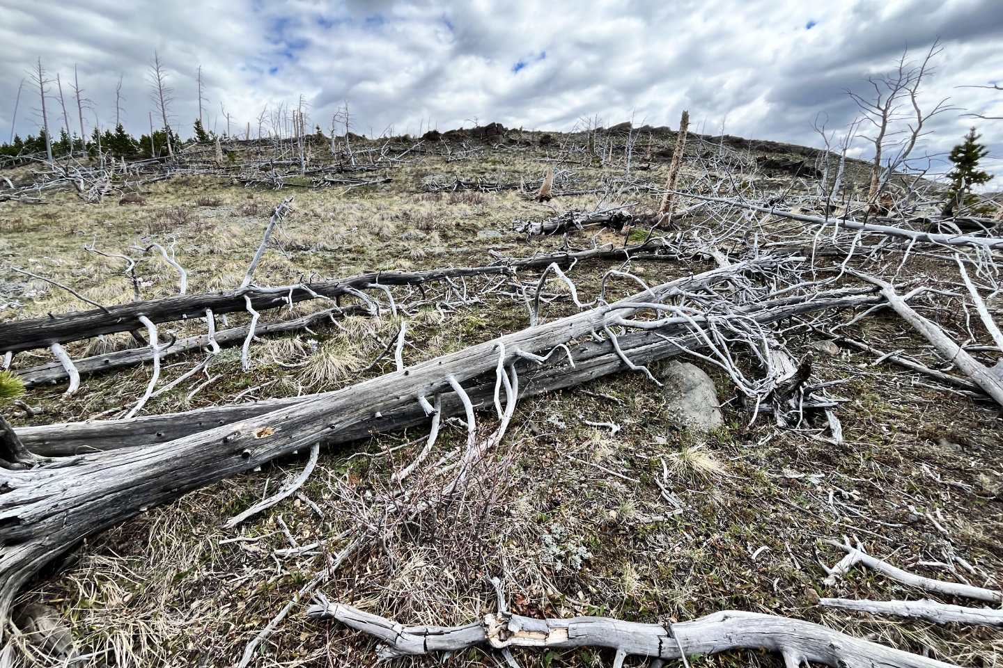 The slope to the summit was strewn with deadfall
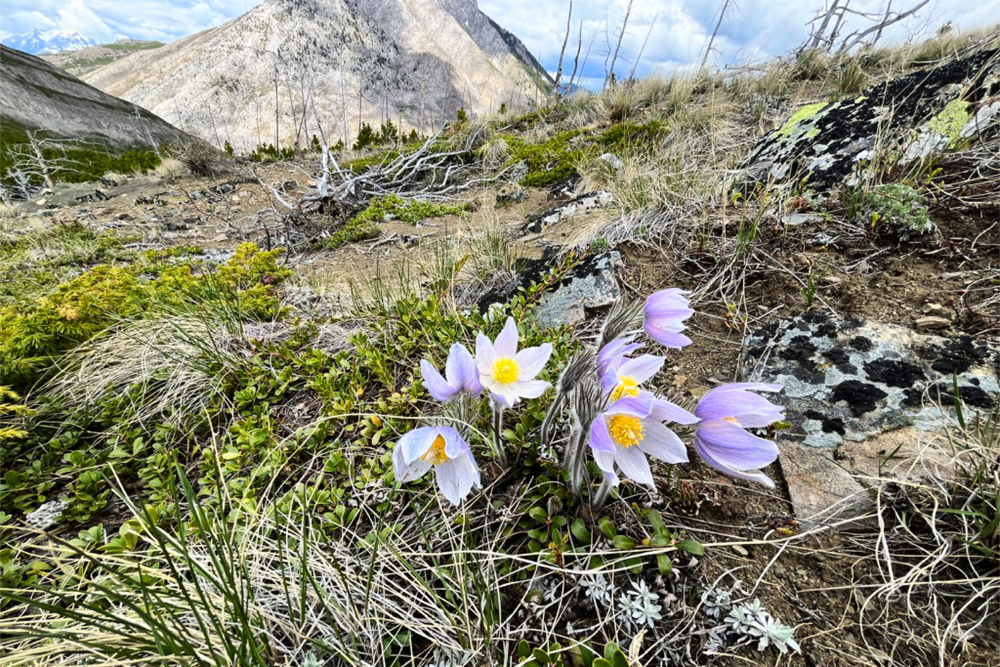 Prairie crocus abounded on the top
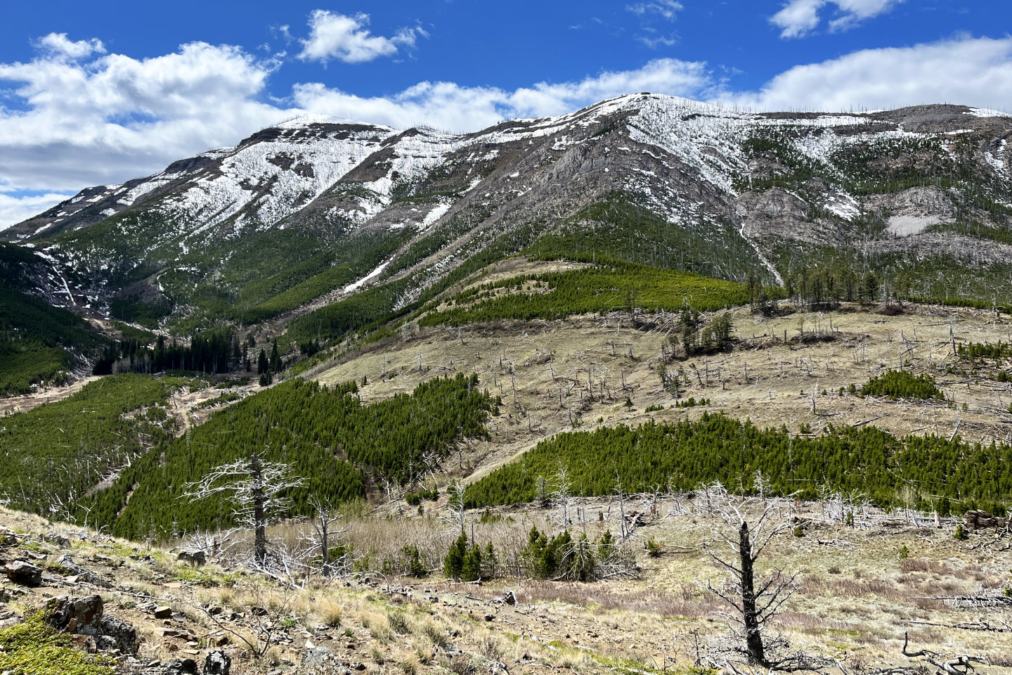
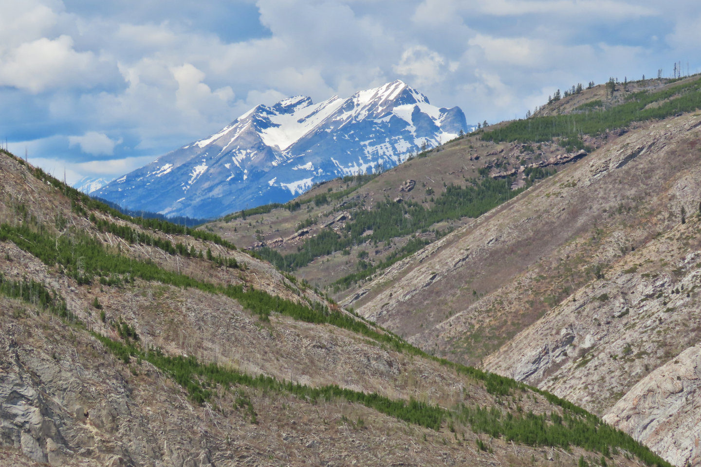 Phillipps Peak and
Mount Tecumseh
Phillipps Peak and
Mount Tecumseh
 I started going down the north slope to the
ridge in the middle, but the trees were rife with deadfall, and I soon turned back
I started going down the north slope to the
ridge in the middle, but the trees were rife with deadfall, and I soon turned back
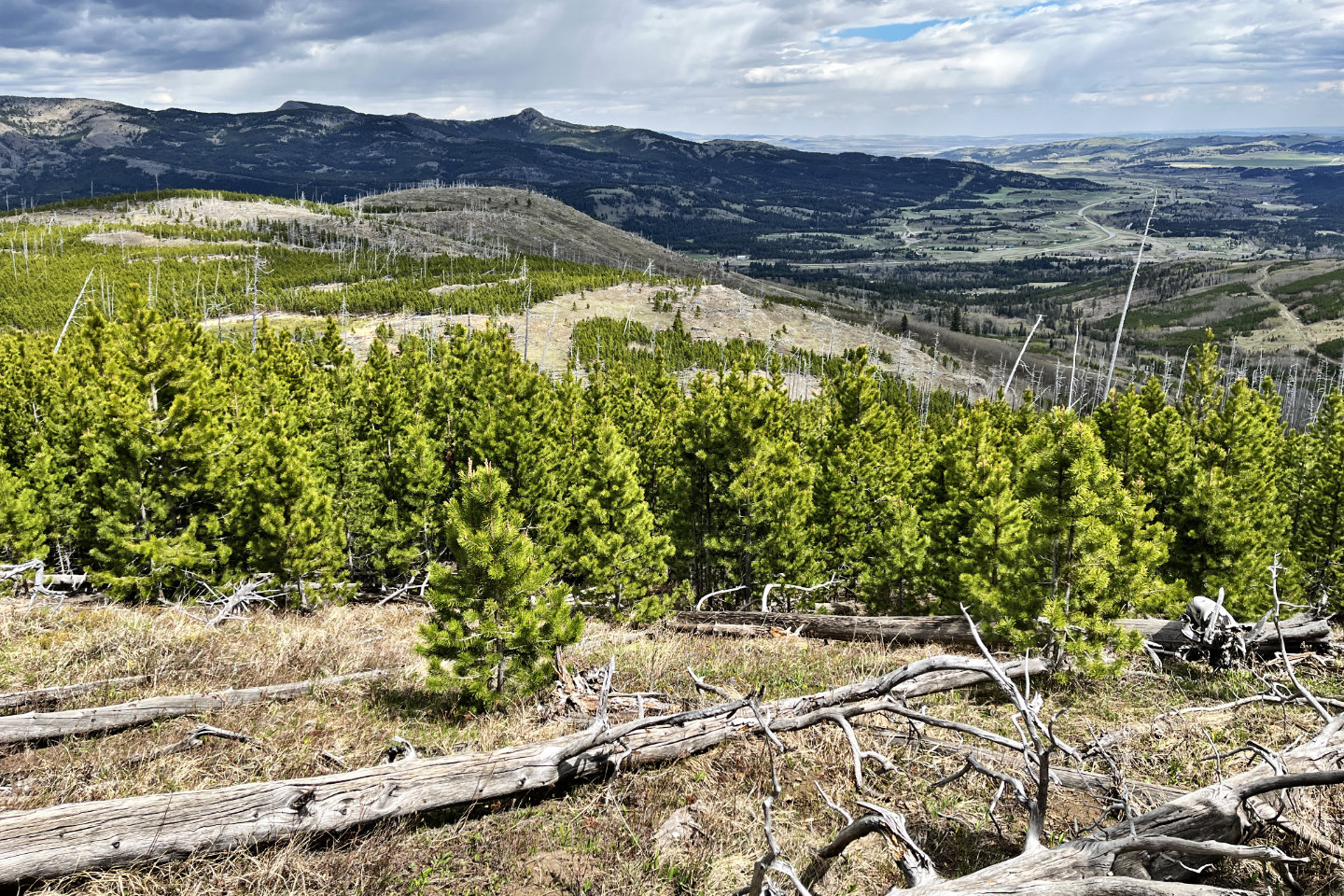
I continued down the trail. Ahead is the ridge I eyed from the top.
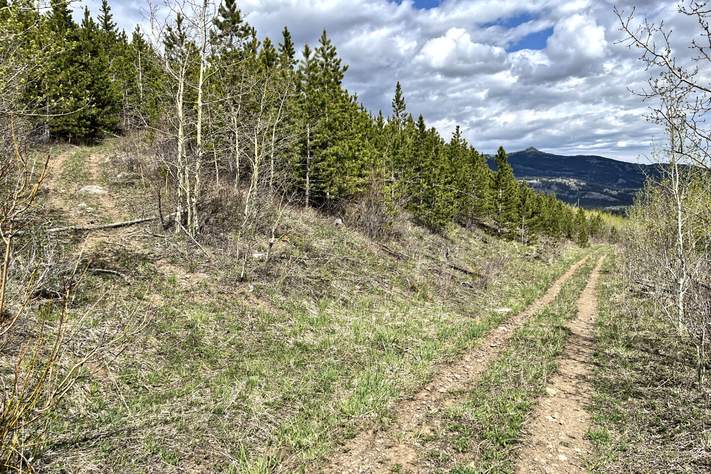 It would be easy to miss this left turn. Tallon
Peak lies in the distance.
It would be easy to miss this left turn. Tallon
Peak lies in the distance.
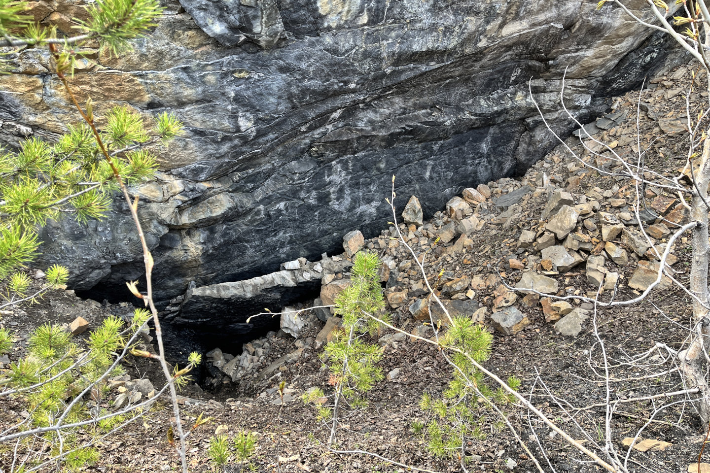 Next to a path under a layer of coal, I noticed
this pit
Next to a path under a layer of coal, I noticed
this pit
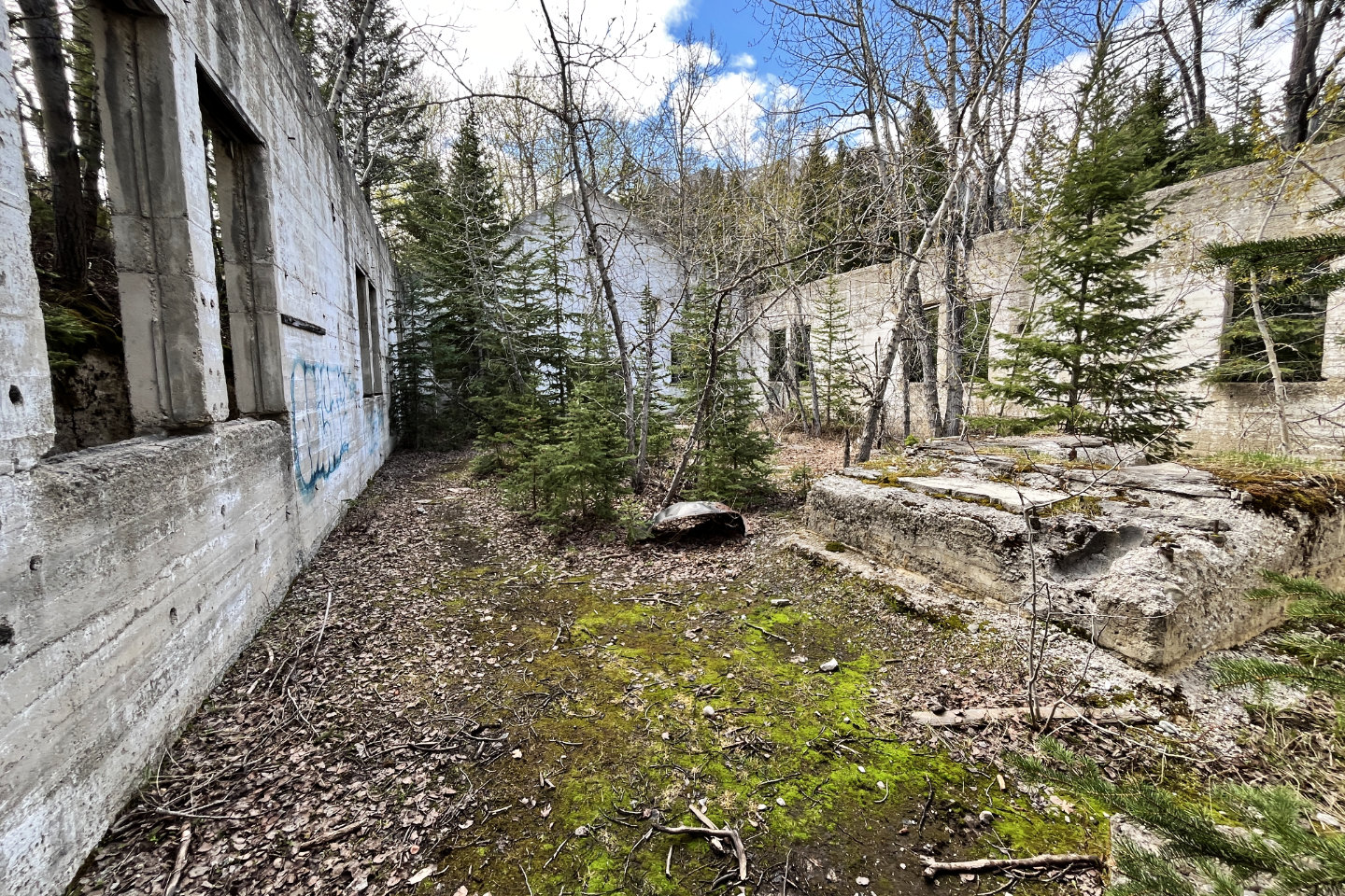 On my way back, I stopped to go inside the
mining ruin I had passed earlier
On my way back, I stopped to go inside the
mining ruin I had passed earlier
82 G/9 Blairmore