bobspirko.ca | Home | Canada Trips | US Trips | Hiking | Snowshoeing | MAP | About
Chinook North Ridge
Crowsnest Pass, Alberta
June 1, 2019
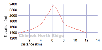
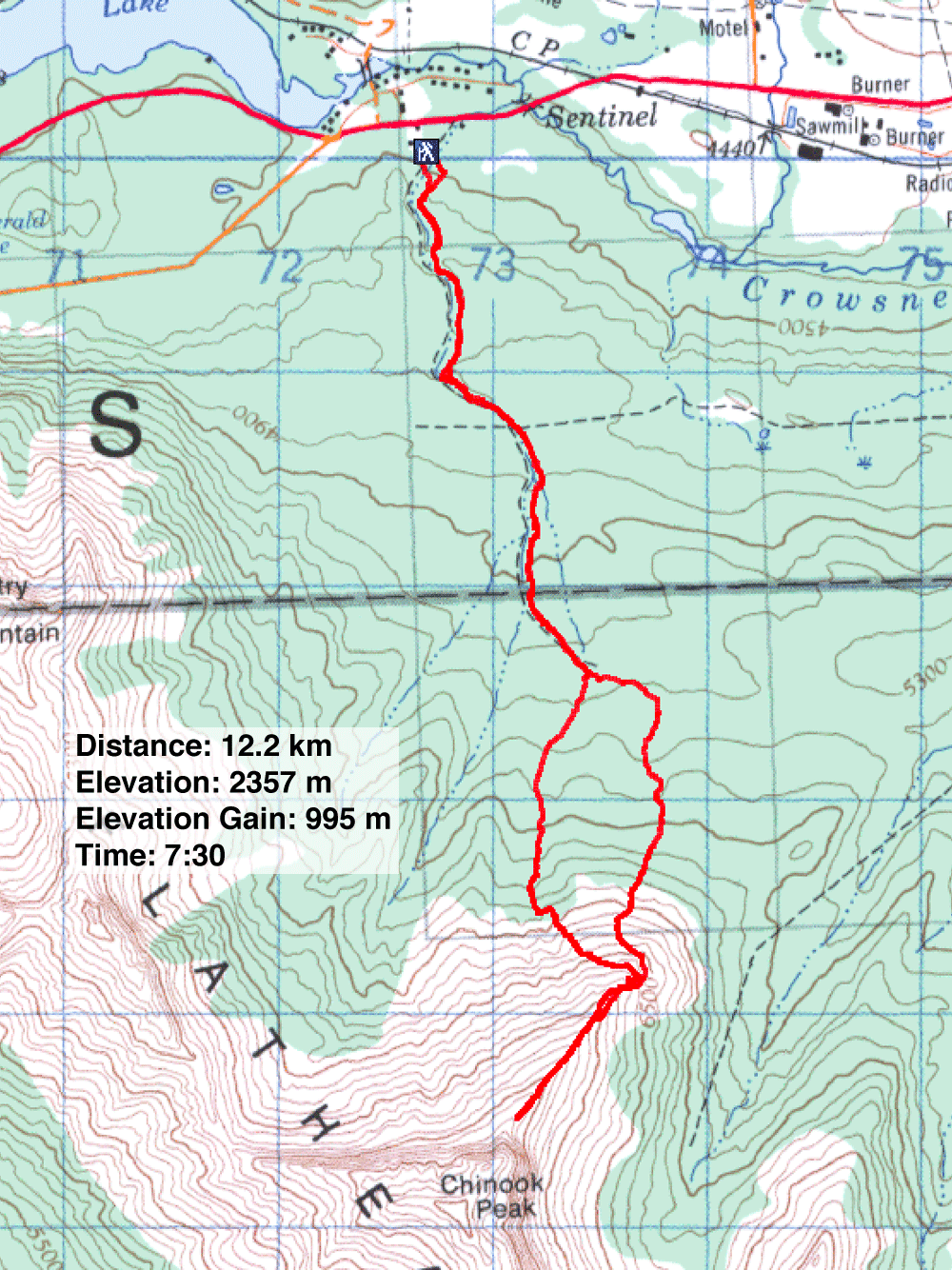
Distance: 12.5 km (7.8 mi)
Cumulative Elevation Gain: 997 m (3271 ft)
The north ridge of Chinook Peak, or as I call it, Chinook North Ridge, isn't a peakbagging goal. There is no summit, not even a high point. The rocky ridge climbs until it hits a wall, the towering buttress below the summit of Chinook Peak.
The attraction was in doing a ridgewalk and trying an obscure approach that passes ruins dating back 100 years. I came across Two Cabin Trail in Hiking the Historic Crowsnest Pass. The book itself is a relic, being nearly three decades old. After the passing of several years, I doubted the trail would unfold as described, and of course I would have to find a way up the ridge. It would be an adventure, I thought, and Sonny and Zosia were willing to join me.
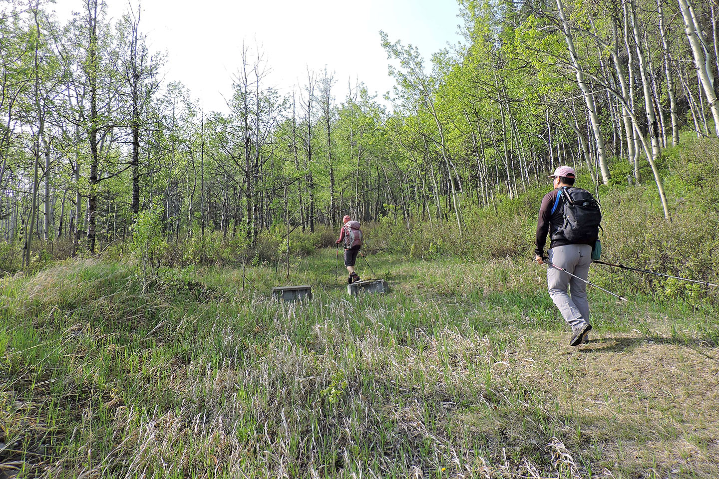
Conveniently, the trail, an old mining road, begins behind the Crowsnest Pass Visitor Information Centre. But even though Two Cabin Trail starts in their backyard, the staff never heard of it! It shows how unknown this trail is. (So used this road as an alternative approach to Sentry Mountain.)
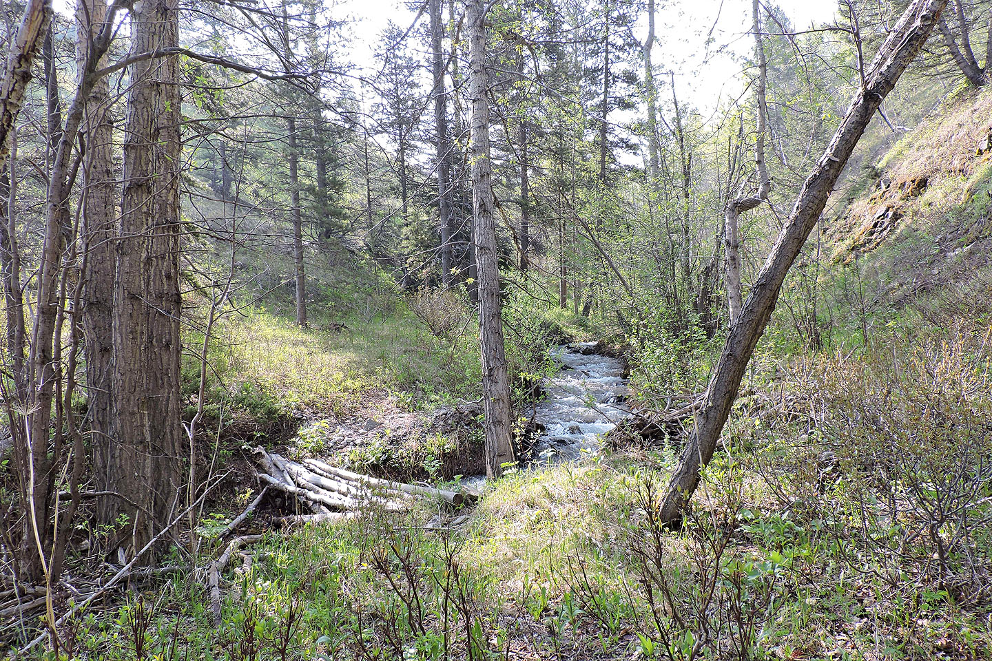
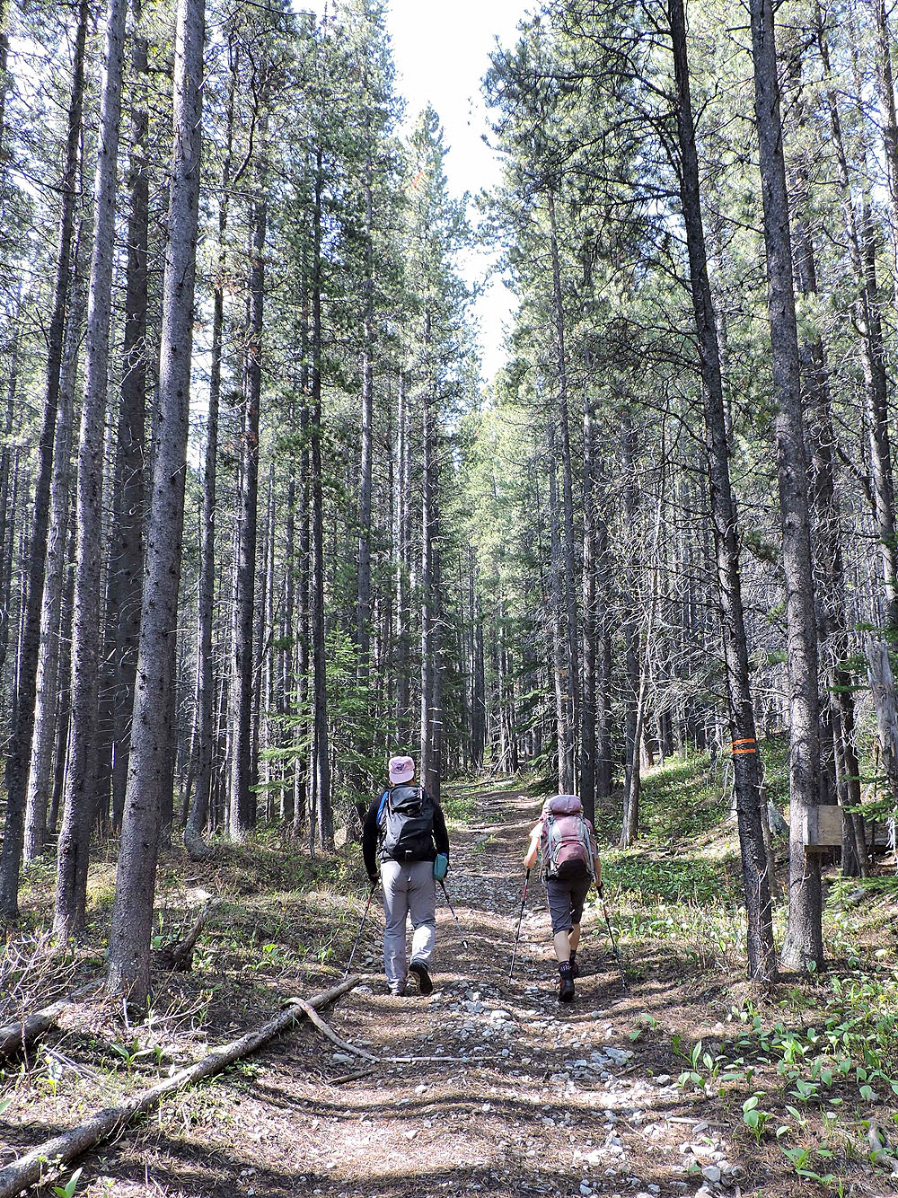
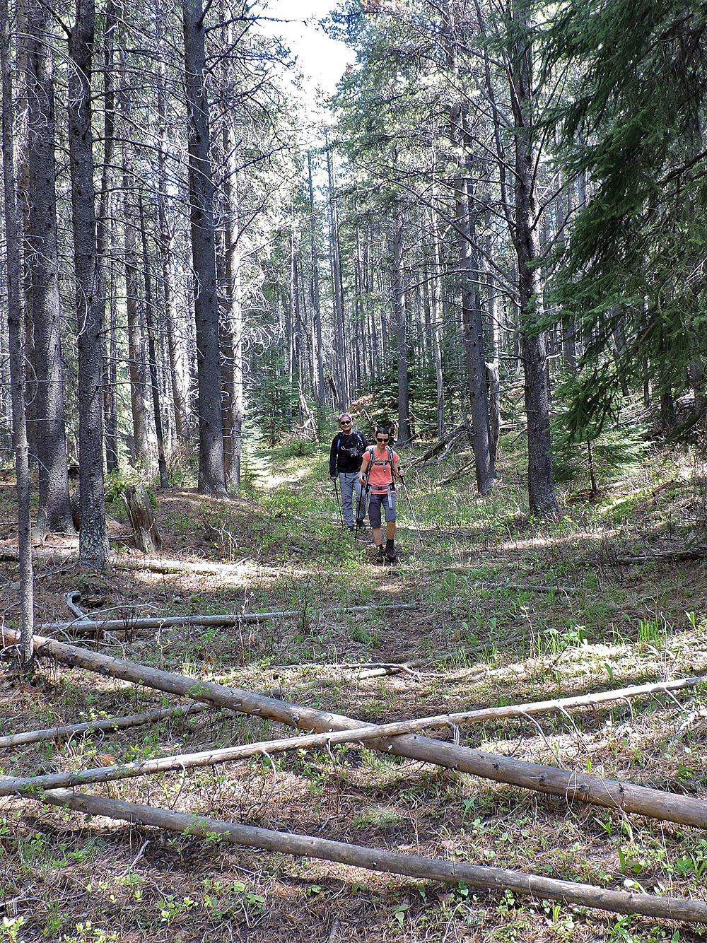
We started up the road, entered the trees, and soon came to a lively stream. For a couple kilometres, the road follows this unnamed creek. It was, though, a tedious start. We didn't mind the light bushwhacking where the forest reclaimed the road, but frequent stream crossings tested our patience, not to mention the waterproofing on our boots. But after a few hundred metres, the road pulls away from the creek, and nature relaxes its impact on the road. It soon became a pleasant walk in the woods.
Eventually we came to a clearing, the site of the old coal mine mentioned in the book. But aside from depressions where structures once stood, and bits of wood and metal, little remains.
Past that, we came to a side road that climbs a grassy rise. I took a few steps in to check it out, but it appeared to be a dead end. Had I gone farther, I would have noticed a dilapidated cabin. We came across it when we came back a different way.
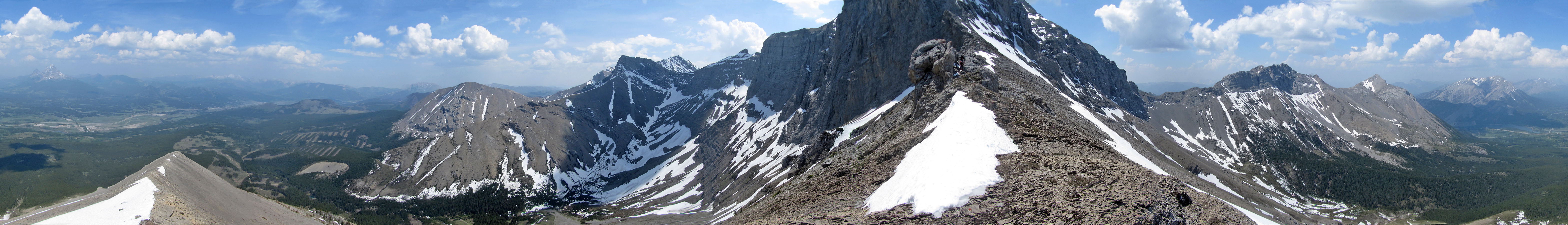
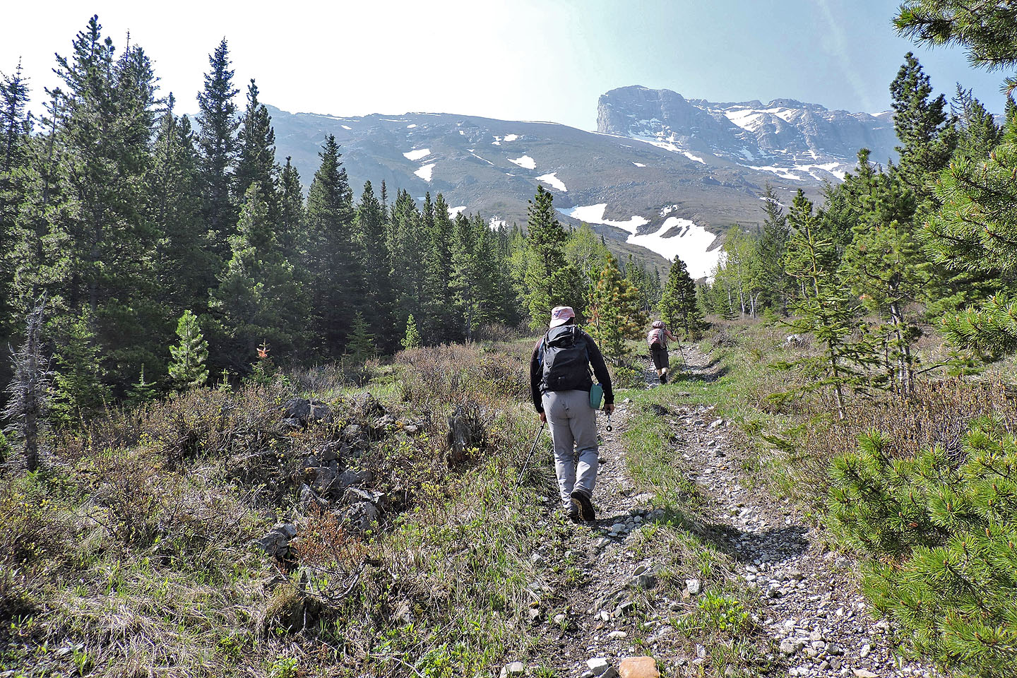
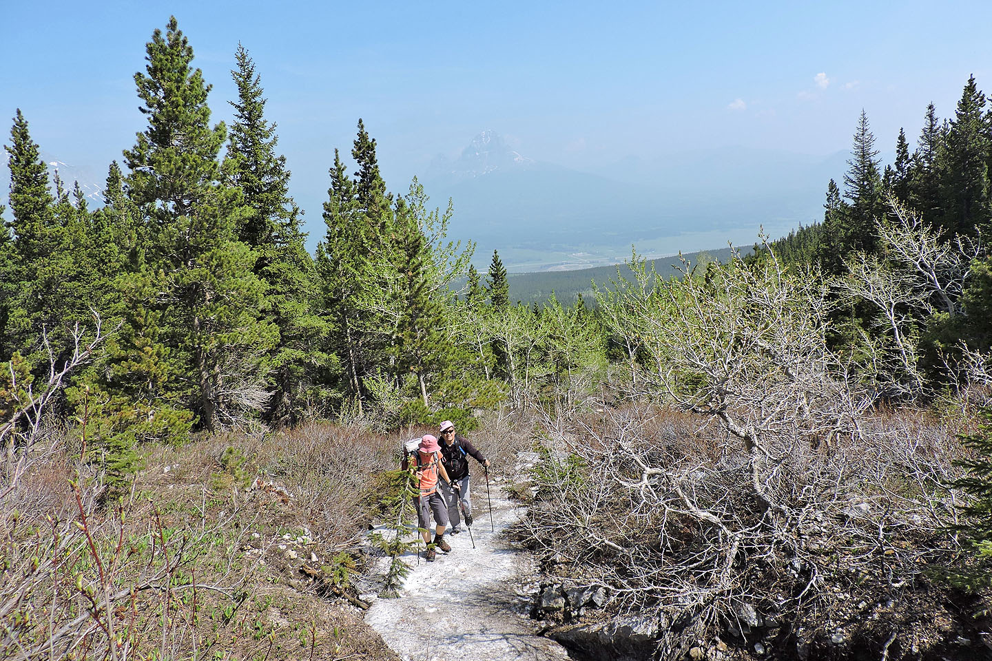
We continued up the main road until it ended just before the open slopes of the North Ridge. Cliffs prevented us from going straight up, so we angled left and after a strenuous climb, reached the crest. From there, we easily followed the ridge to the base of the buttress. Zosia and I stopped at a knob, while Sonny continued a short distance before turning around. We then hiked back down the ridge.
When we returned where we first reached the crest, we decided to try a different way back, a road I had noticed on Google Earth. We dropped down the slopes and found a corridor in the trees. When the corridor closed, we bushwhacked. We didn't pick the best line and had to cross a marsh, but after the marsh, we startled a moose and watched it lumber off. It was strange to see a moose in the middle of a forest. Soon after, we came across the old road. We followed it back and that's when we came to the cabin. The only hitch back on the mining road was that we missed a turn just before the info centre. But a 100 m bushwhack brought us to the parking lot. We were back before the centre closed, in time to tell the staff we had hiked Two Cabin Trail.
KML and GPX Tracks
Sonny's Trip Report
Starting up the road
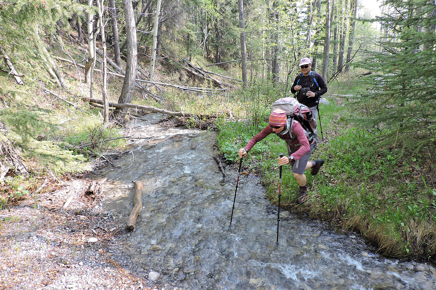
Zosia prepares to leap across the first of several creek crossings
The first of two makeshift bridges (could use more!)
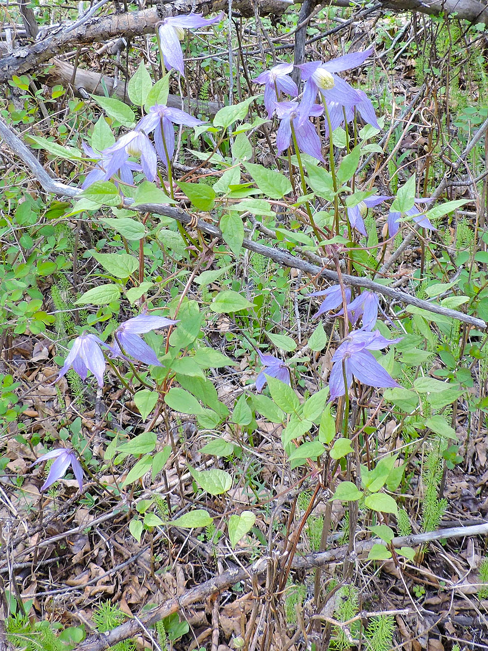
Lots of blue clematis near the start
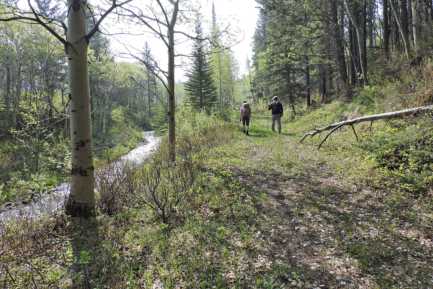
The road eventually became a pleasant walk
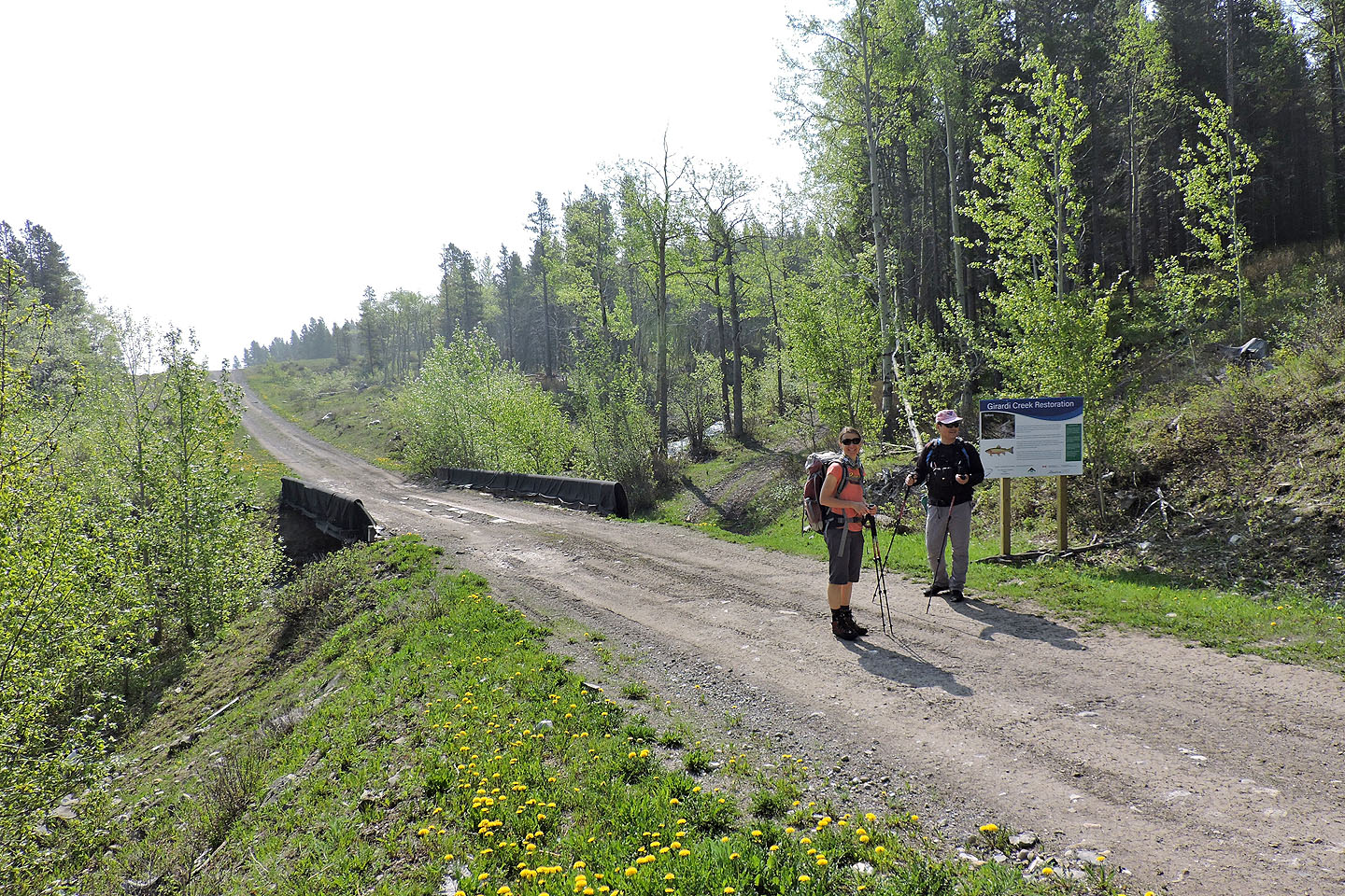
The mining road continues on the other side of a surprisingly good back road
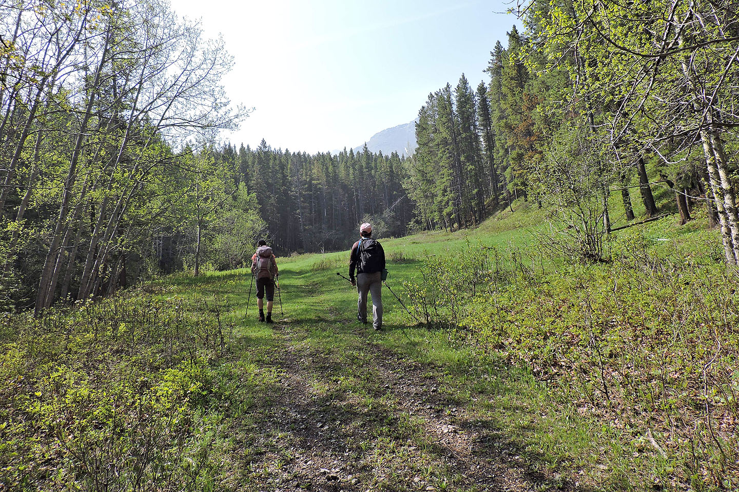
We reached a clearing where mining structures once stood. The North Ridge appears ahead.
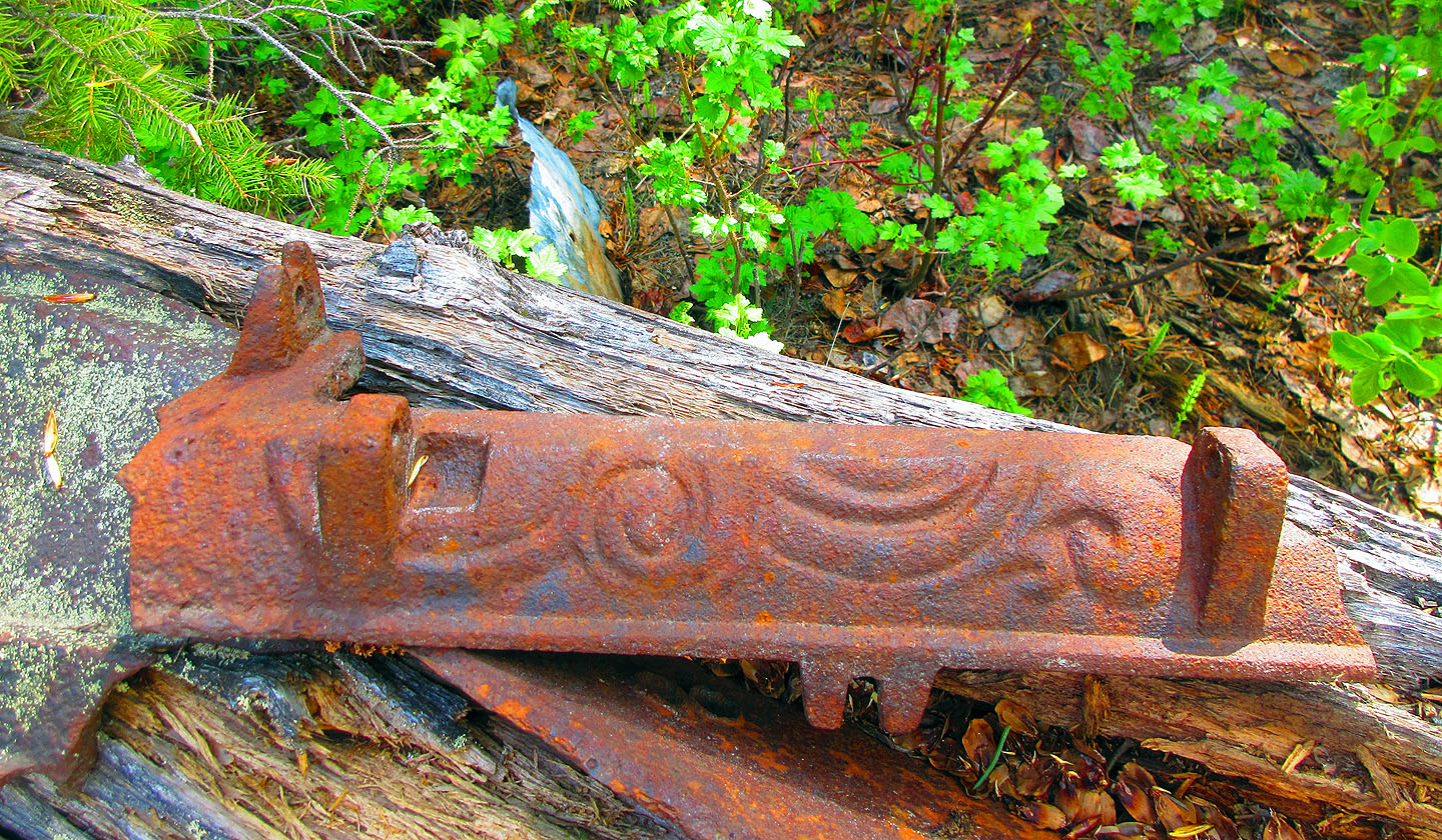
Some metal pieces still remain at the site
We came across defunct pine martin traps on trees (mouse over for a close-up)
Coming to the end of the road
We hiked up a snow-filled gully
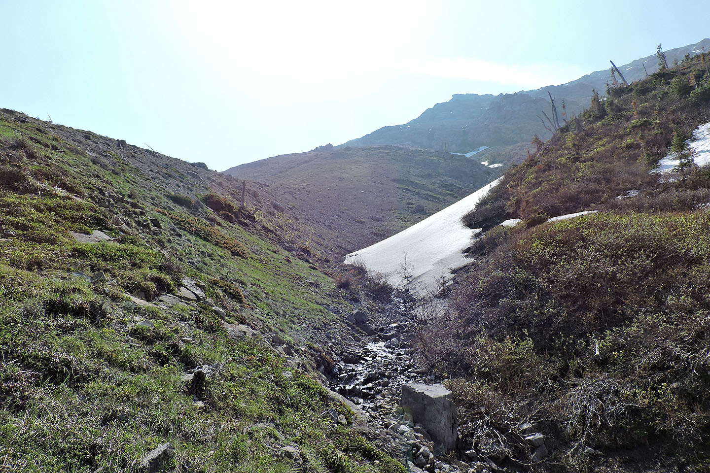
We climbed the left side of the drainage
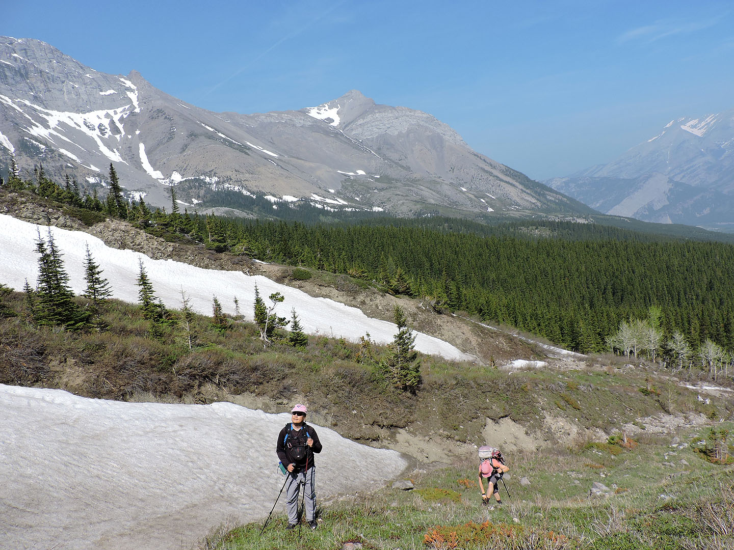
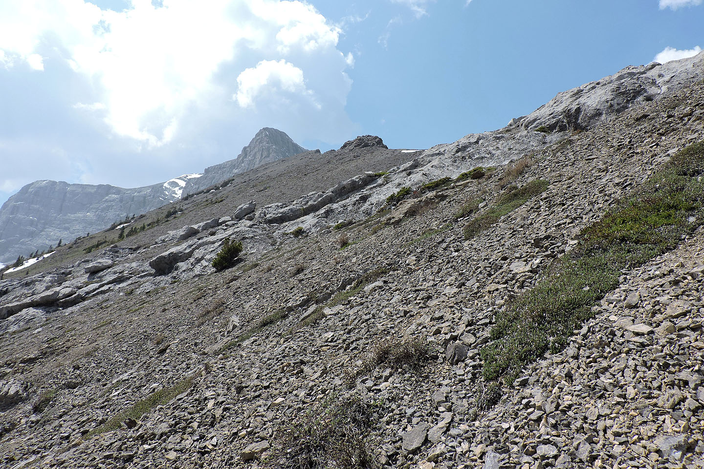
Sentry Mountain in the background
We started up the slope but later angled left to avoid cliffs
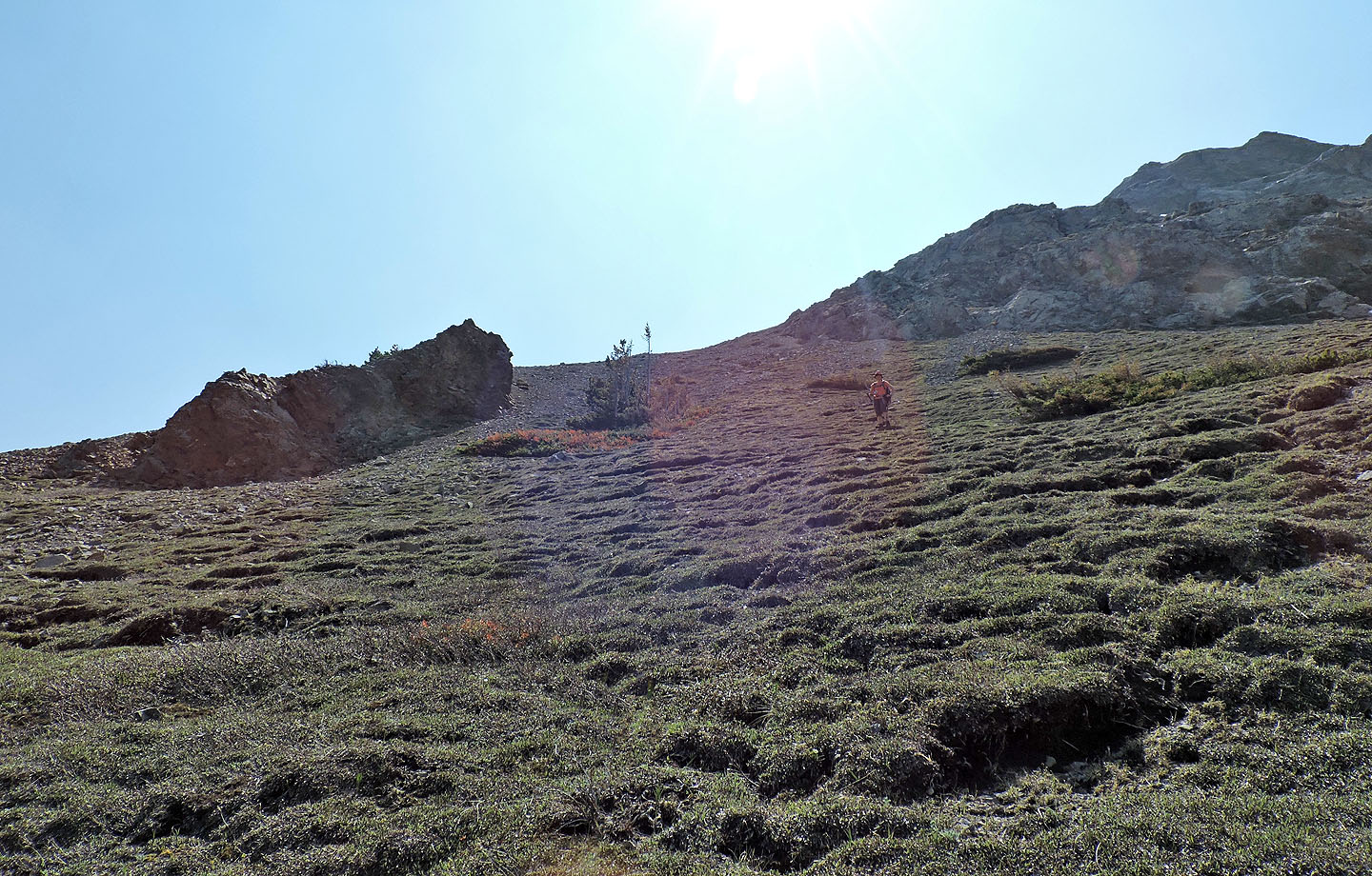
The carpet of vegetation here soon gives way to loose scree
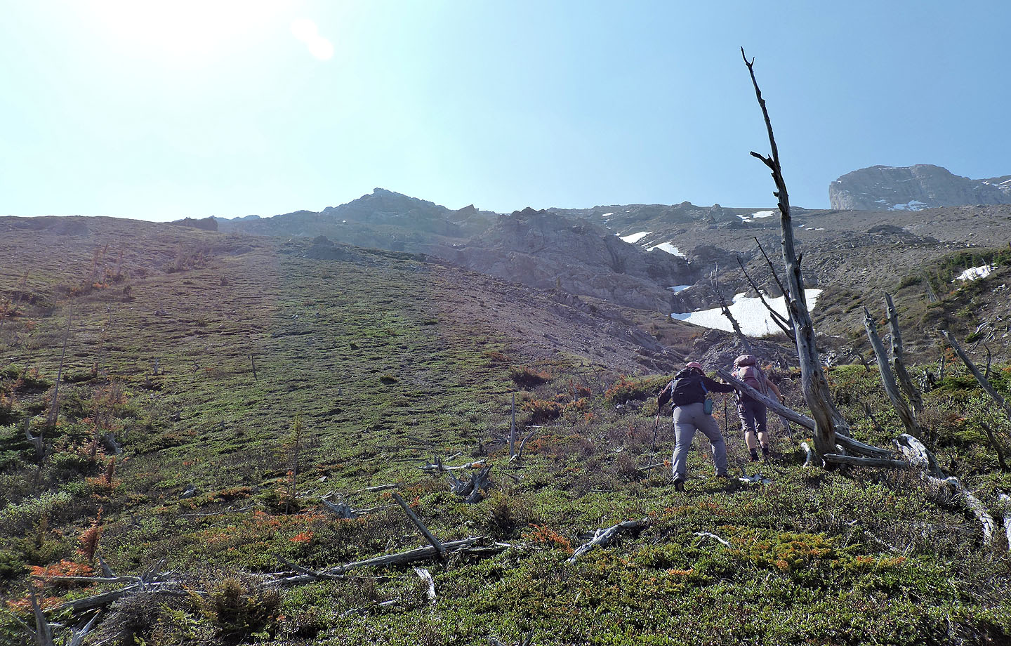
We finally reached the ridge crest.
Ironstone Lookout in the centre.
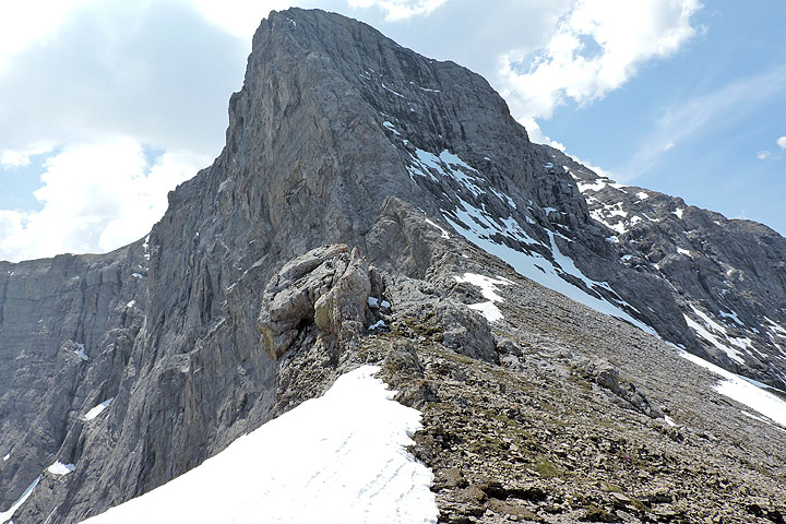
We stopped for lunch next to some interesting cliffs
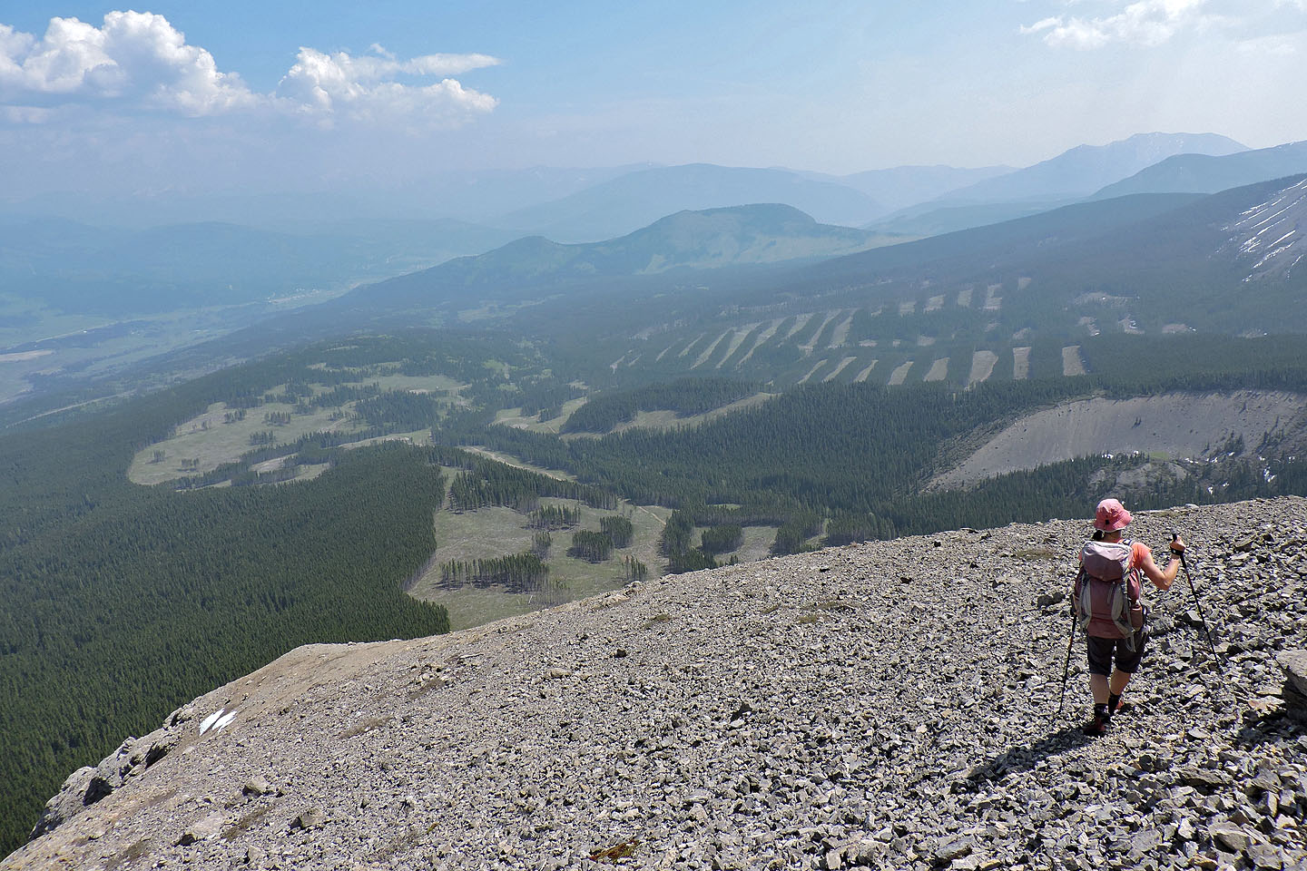
After skirting around the cliffs, the ridge is mostly open
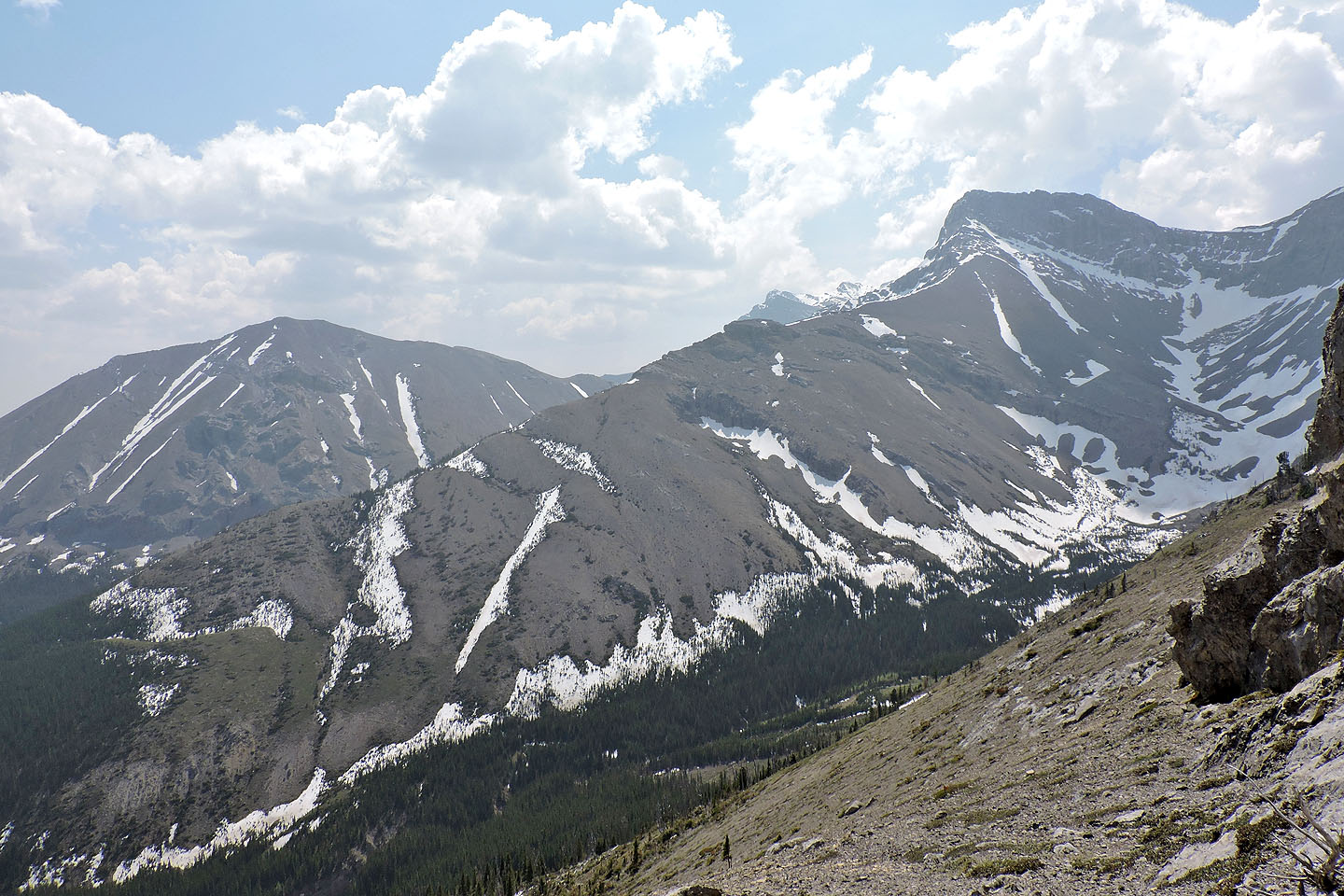
Mount McLaren and Mount Parrish
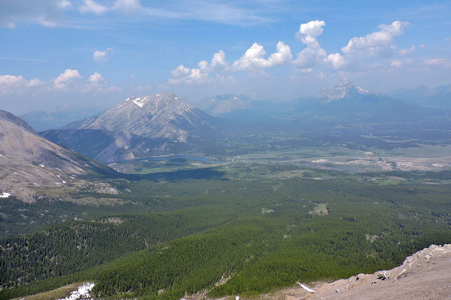
Back on the crest. Crowsnest Mountain (left) is
veiled in smoke
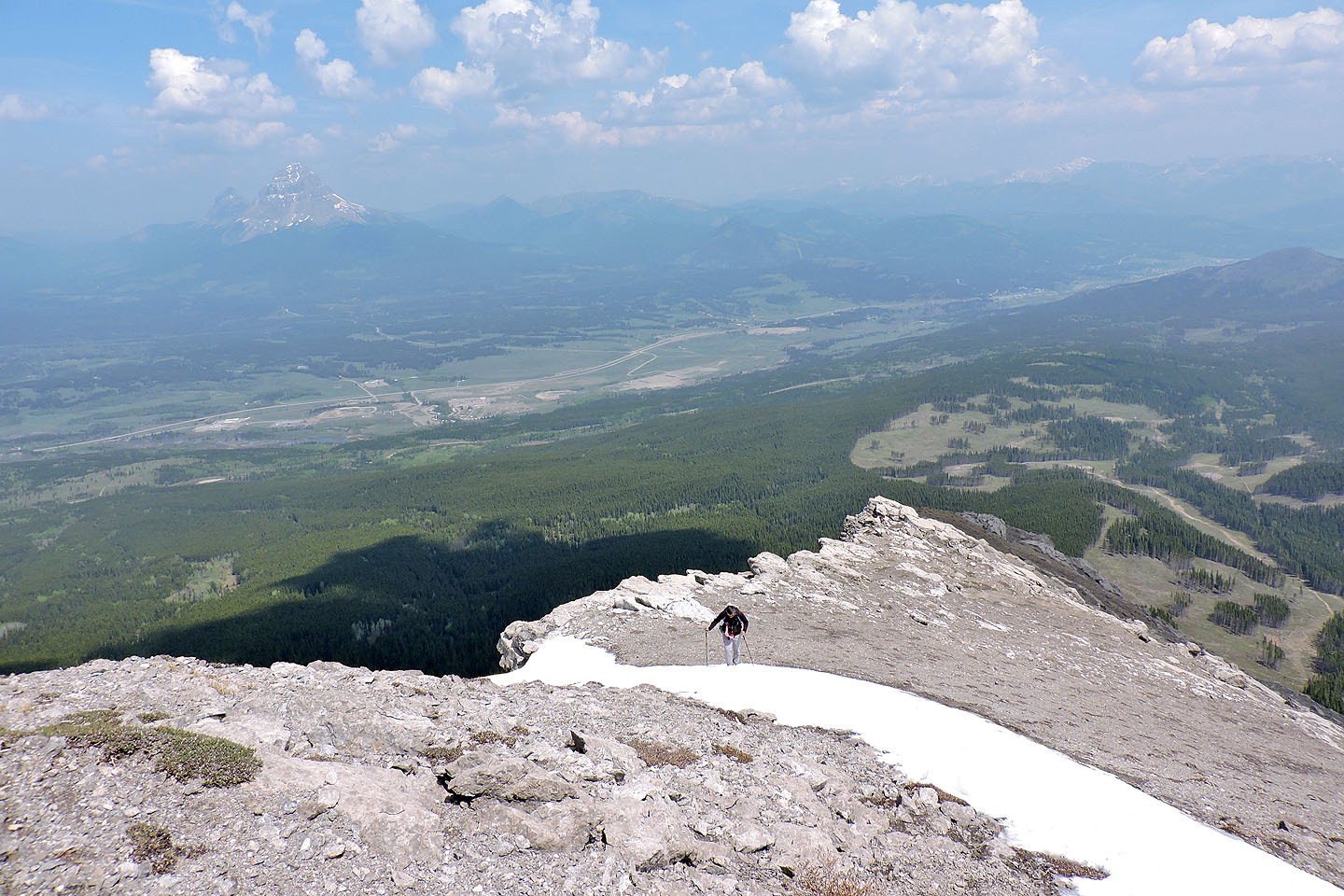
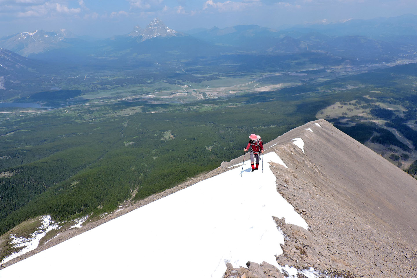
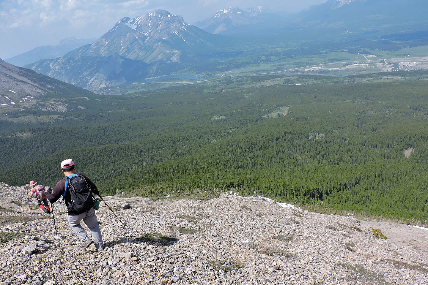
Looking north: it can't be seen in this photo but the info centre is in the middle
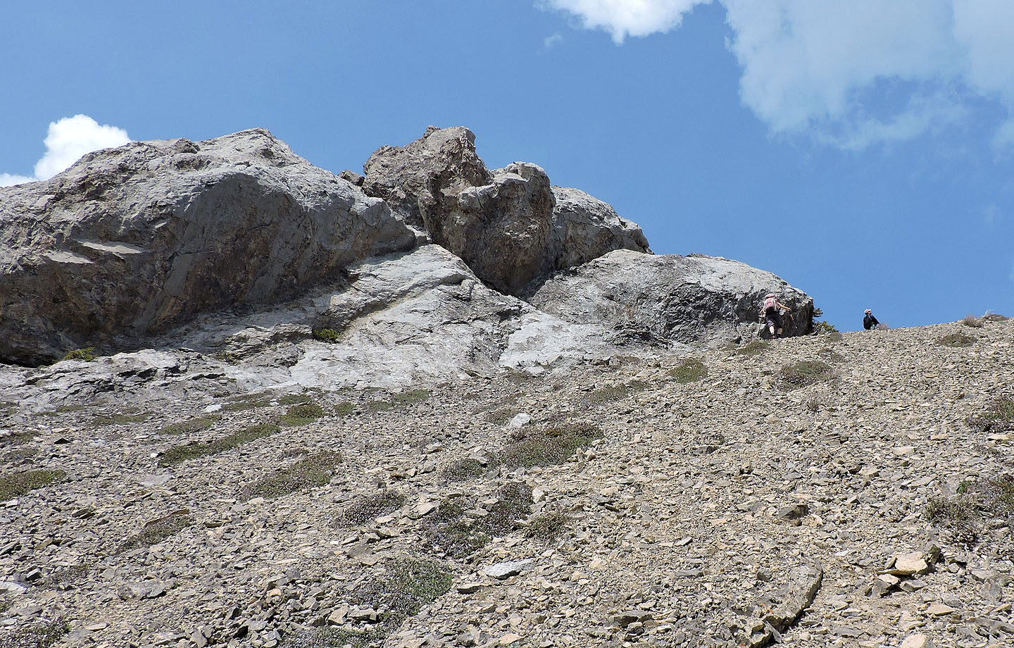
Rocky sections can be scrambled up or avoided
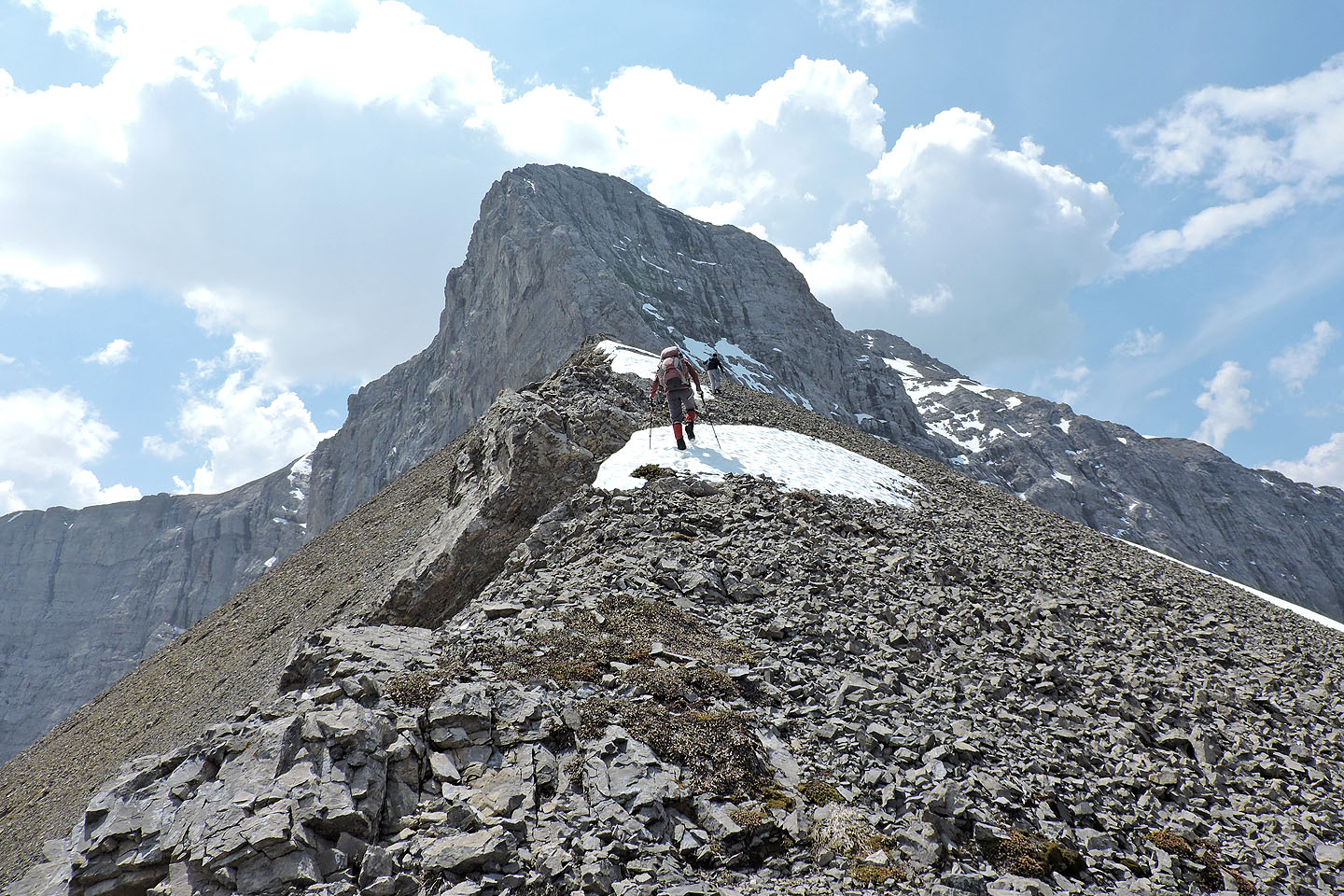
Drawing closer to the cliff face
Zosia crosses a snow patch
The knob ahead made a good rest stop
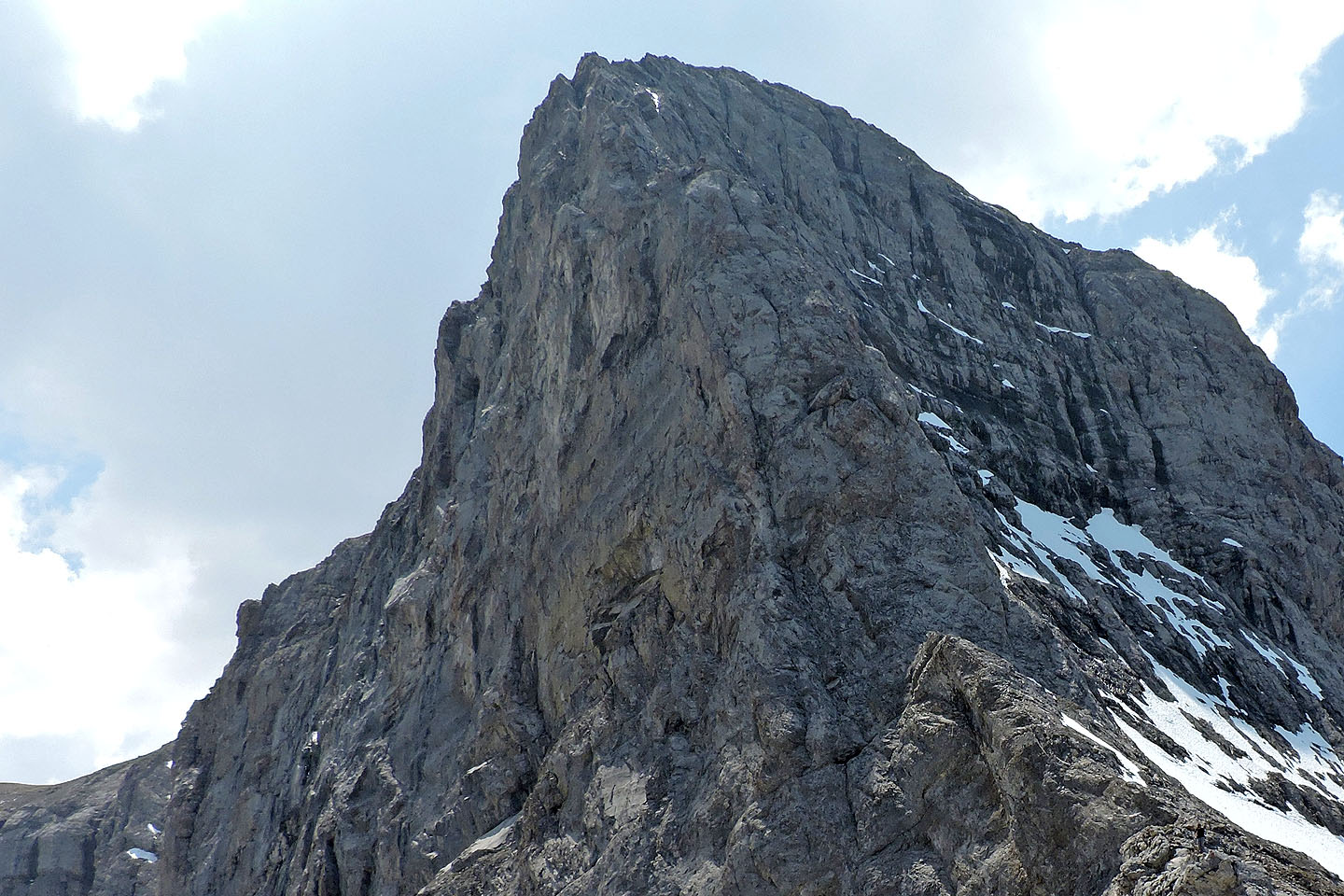
The end of the line: The black figure in the lower right corner is Sonny
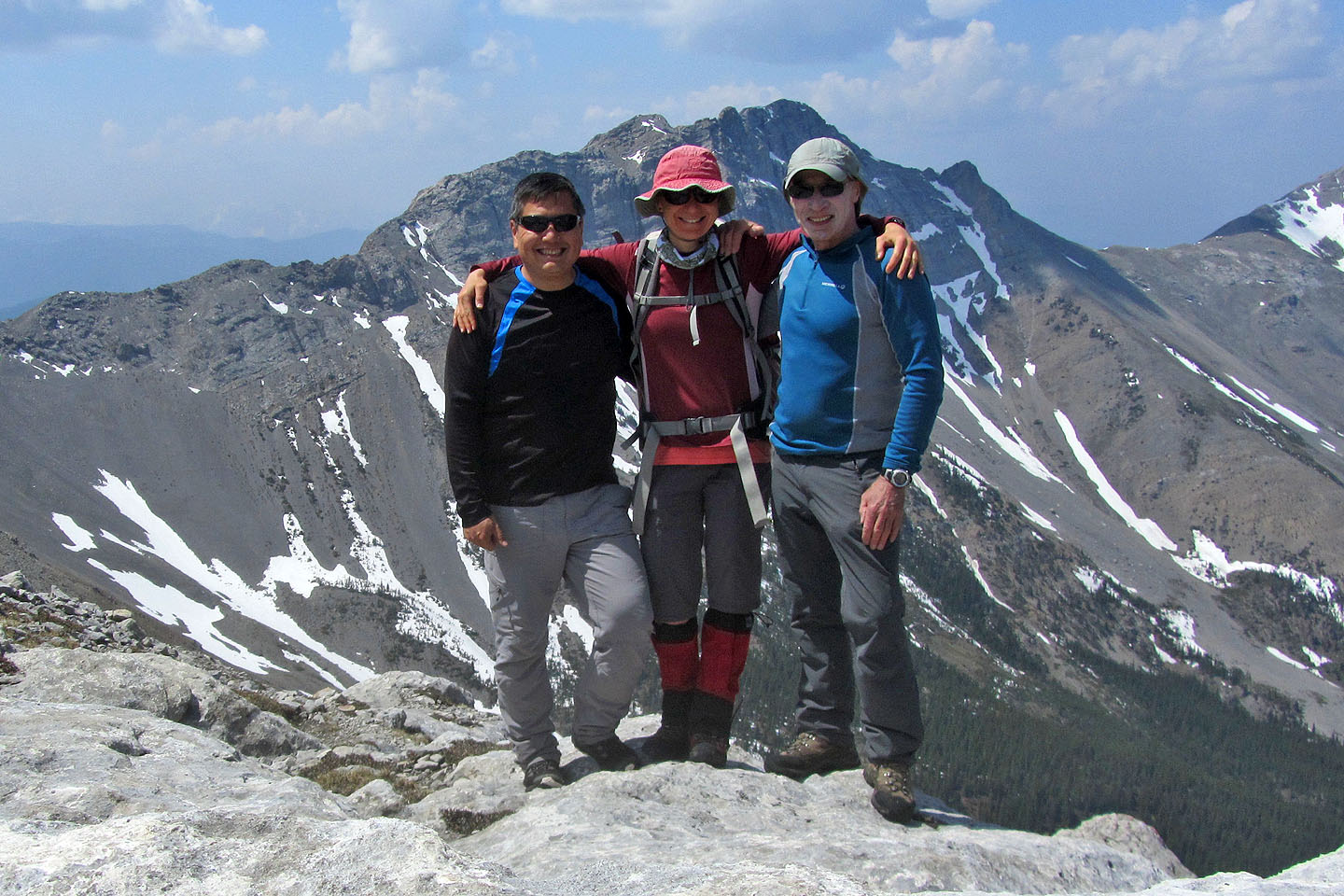
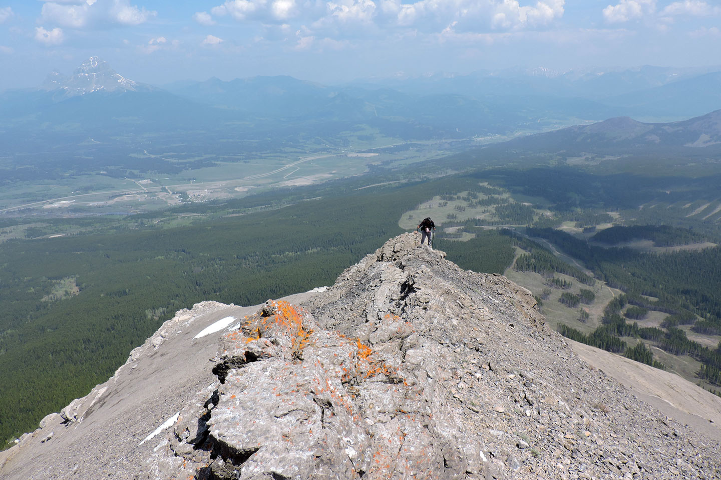
Posing on the ridge crest
Heading back down. We made our way to the corridor in the trees on the right.
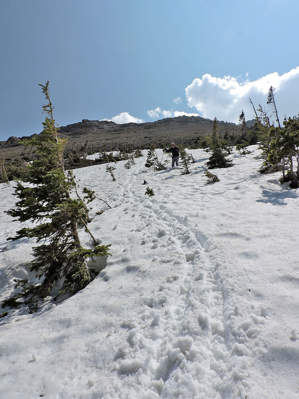
At the bottom of the slope we took advantage of a quick descent on snow

Coming down the corridor in the trees
Back on a road
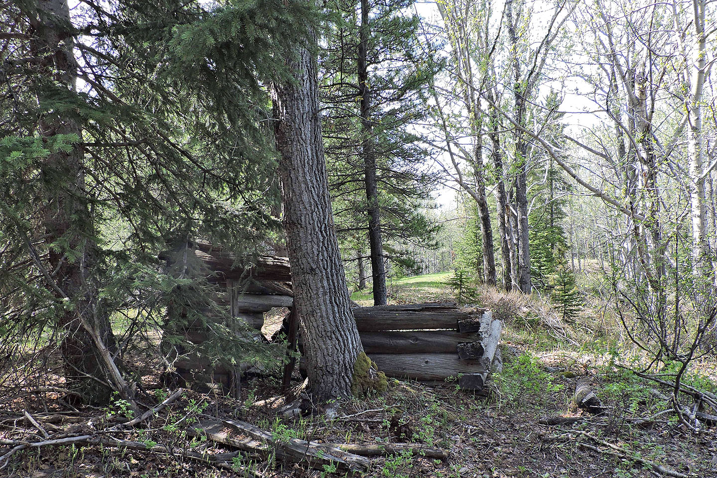
The cabin near the junction
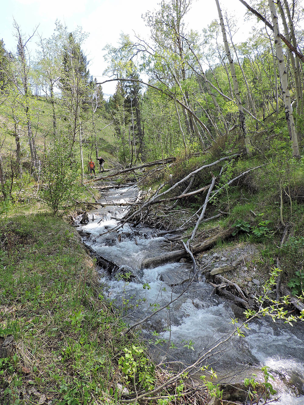
The stream was flowing faster now
82 G/10 Crowsnest