bobspirko.ca | Home | Canada Trips | US Trips | Hiking | Snowshoeing | MAP | About

Red Spring Peak
aka Calico Hills South
Red Rock Canyon NCA, Nevada
January 26, 2018
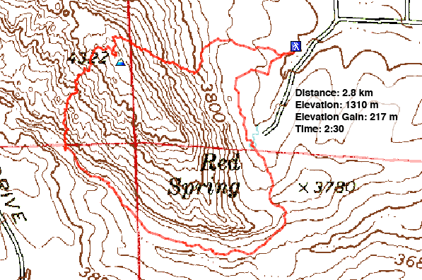
Distance: 2.8 km (1.7 mi)
Cumulative Elevation Gain: 238 m (781 ft)
For a quick class 2 climb, Red Spring Peak packs a punch: there's hardly a dull moment. And despite being crammed with cliffs and enormous boulders, there's an easy route up the east side and a fun descent down the west side.
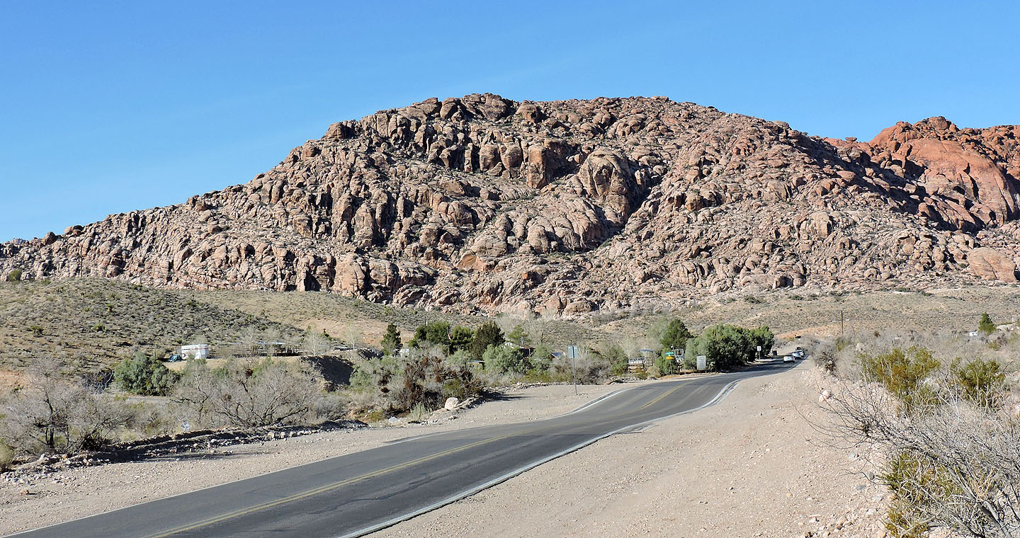
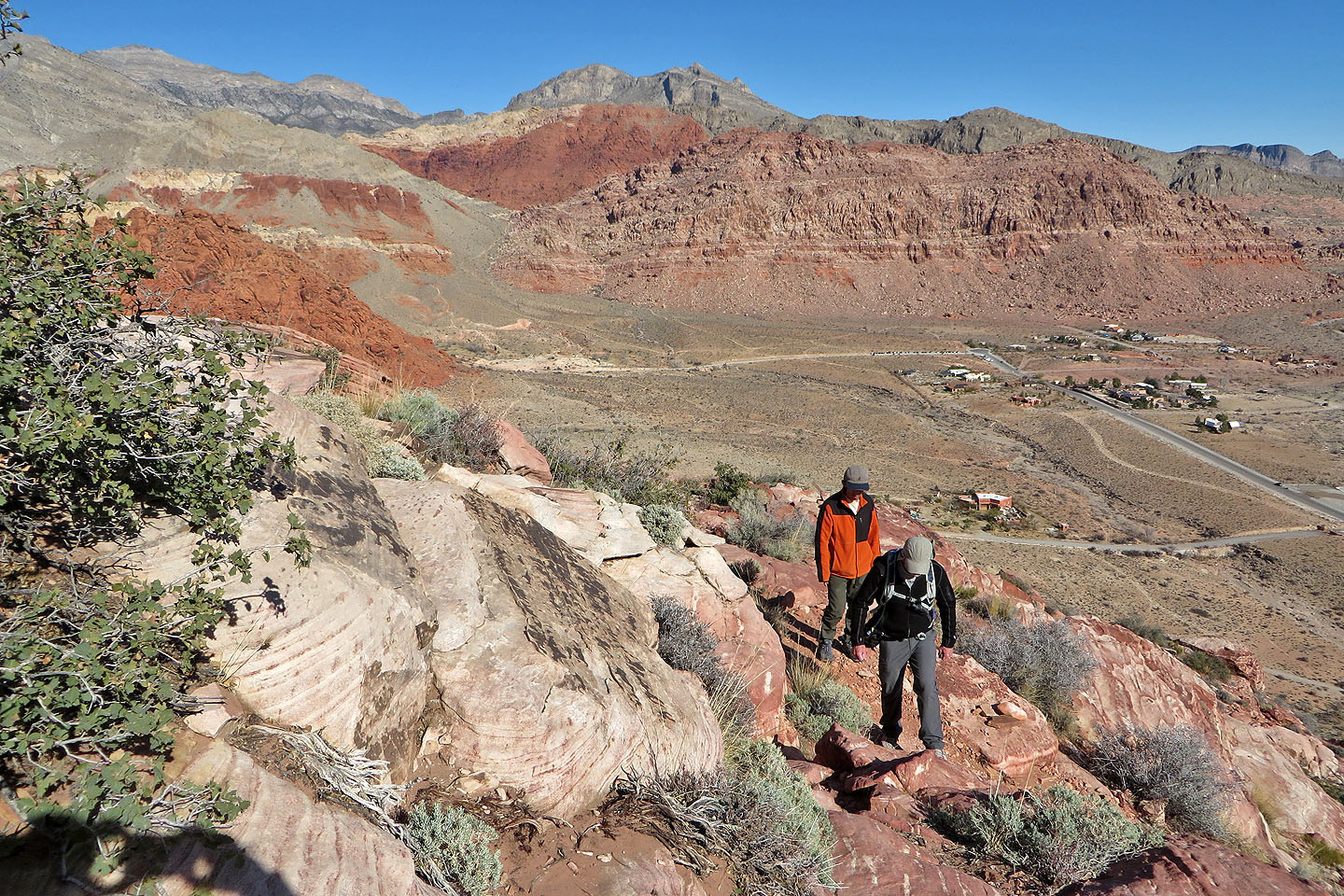
We parked at Red Springs in Calico Basin where tourists can follow an 800-metre boardwalk to view the landscape fed by a natural spring. But our eyes were focused on the steep slope above and the ramp that cuts into it. By climbing this ramp, we easily gained the ridge.
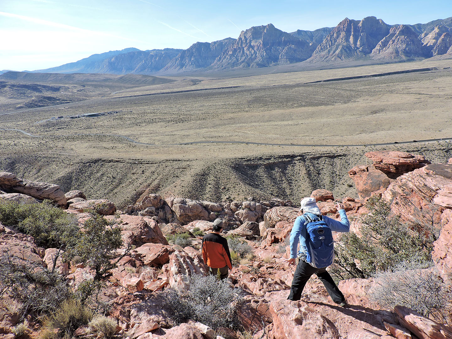
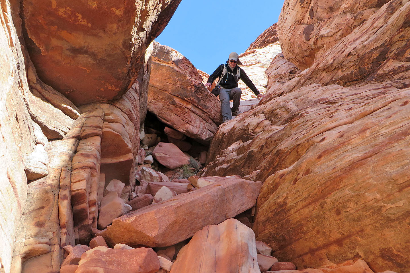
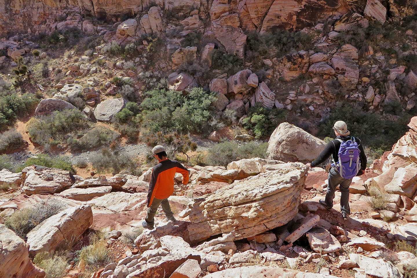
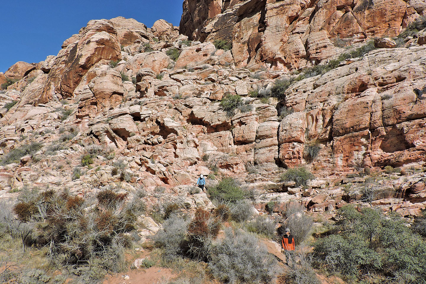
Once on the ridge Shin, Dinah and I traversed a short distance south to reach the highest point. Then we backtracked a bit and started down the west slope. Unlike the ascent, the descent required some routefinding. Occasionally we ran into steep drops, but a short search always revealed an easy way down. Eventually we made it down to a wash below. Near the bottom, we found cairns and flagging that suggested we nailed the route.
We were still left getting back to the parking lot on the other side of Red Spring Peak, but this was easy and scenic. We followed the wash south until we came to a trail that climbed out of it. As the trail swung around the south end of the mountain, we took in the impressive boulders that lay scattered on the lower slopes, as well as several groups of technical climbers scaling the red sandstone cliffs above us. The trail climbs over a low ridge before leading back to Red Springs. The entire trip including the drive was so short that Dinah and I were back in the city by noon, in time to book our seats to fly back to Calgary.
 Red Spring Peak
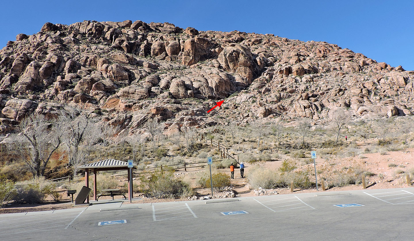
We gained the ridge using a ramp
We followed a trail almost to the bottom of the ramp
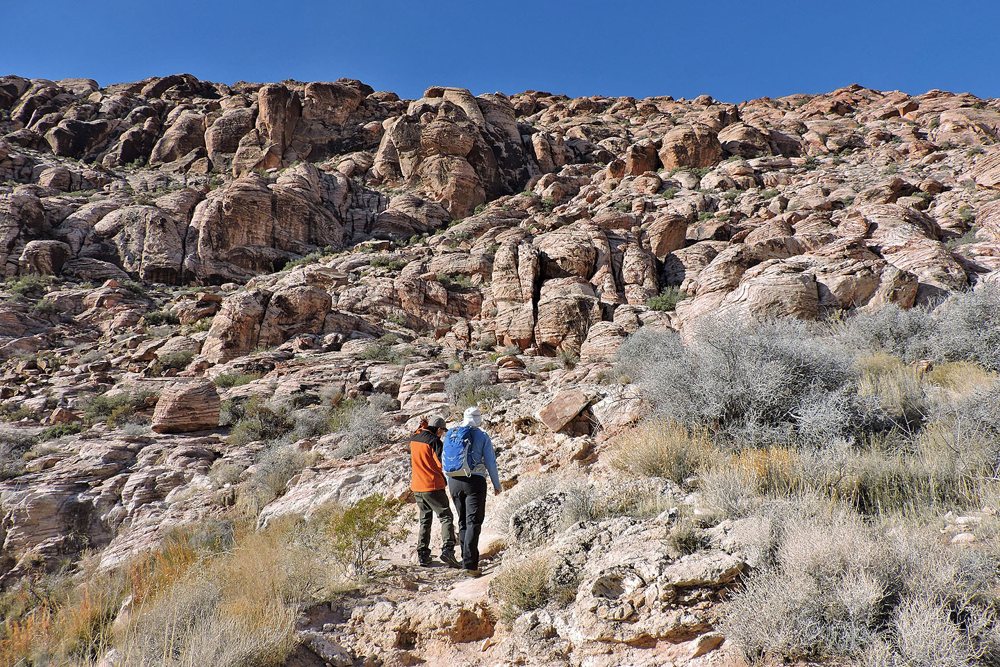
Starting up the ramp
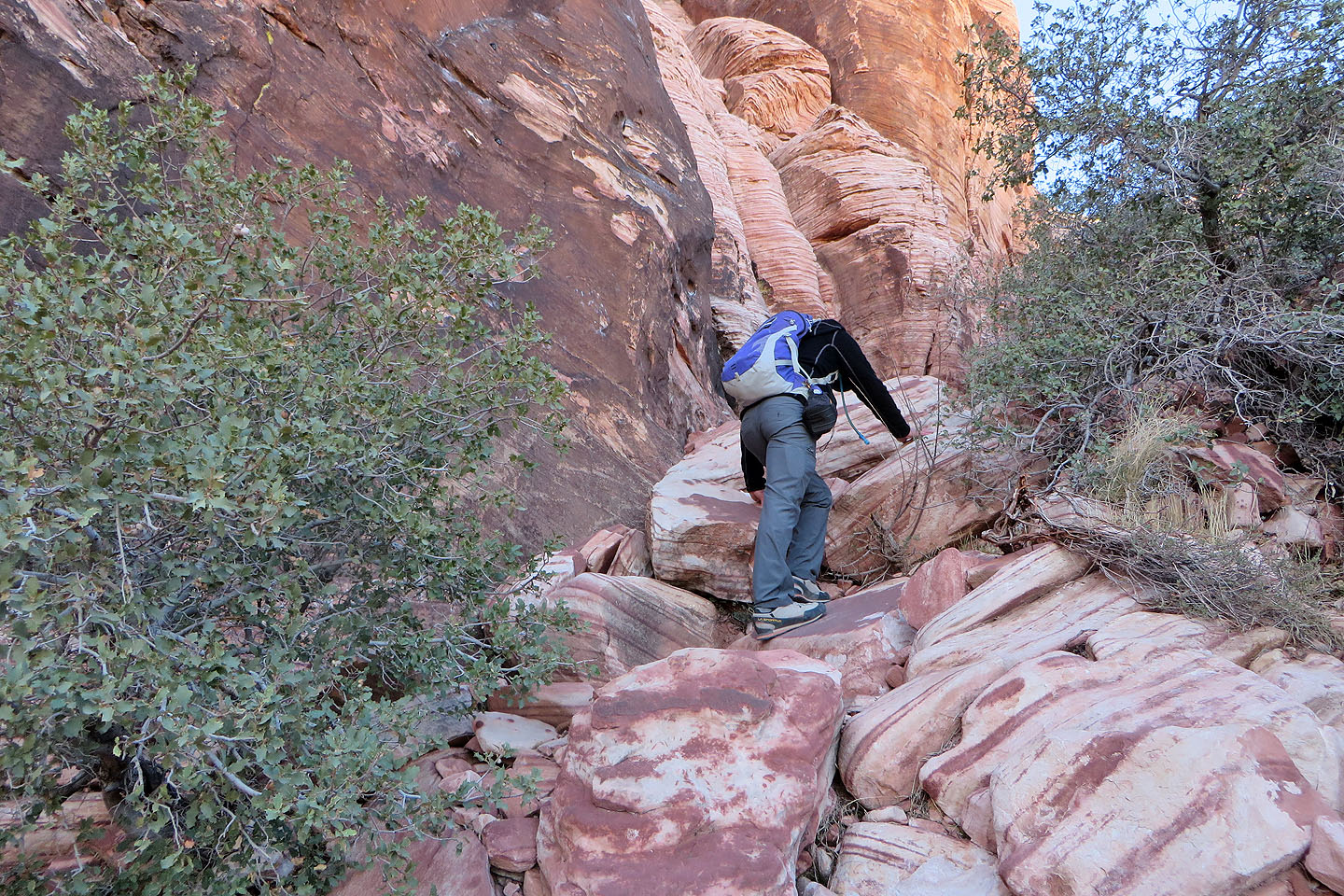
We kept left, close to cliffs
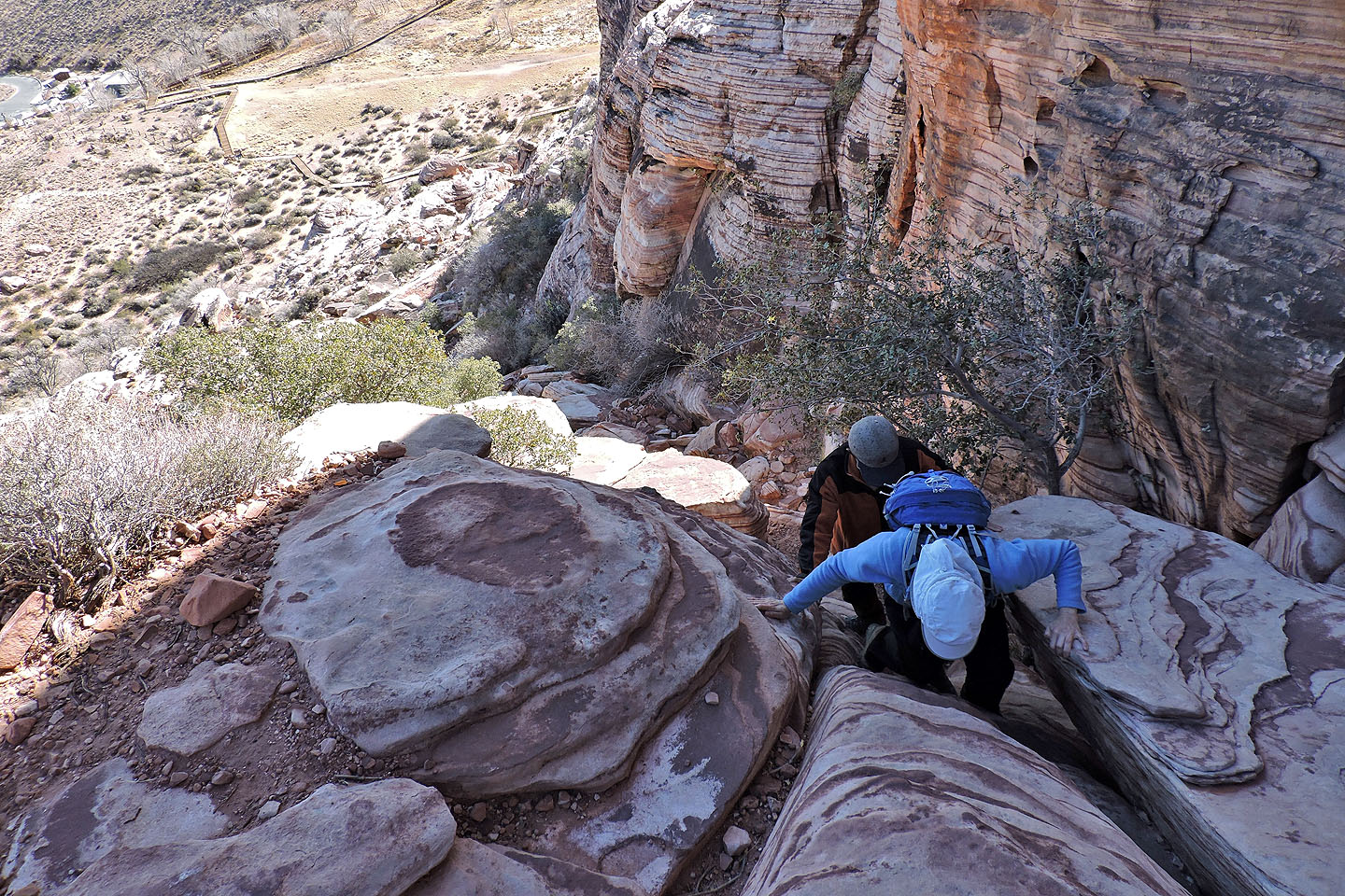
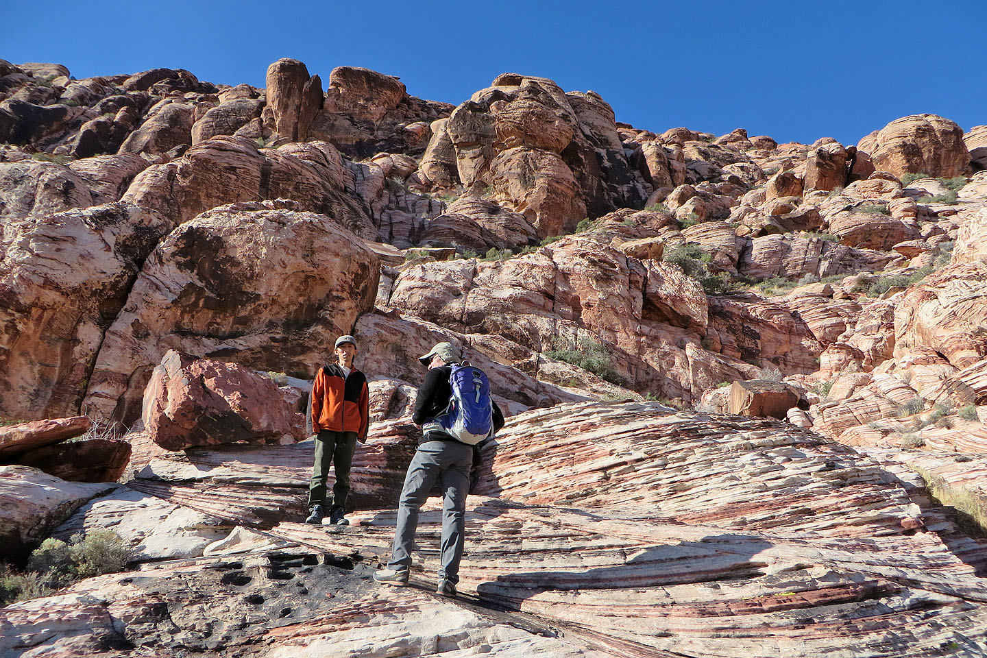
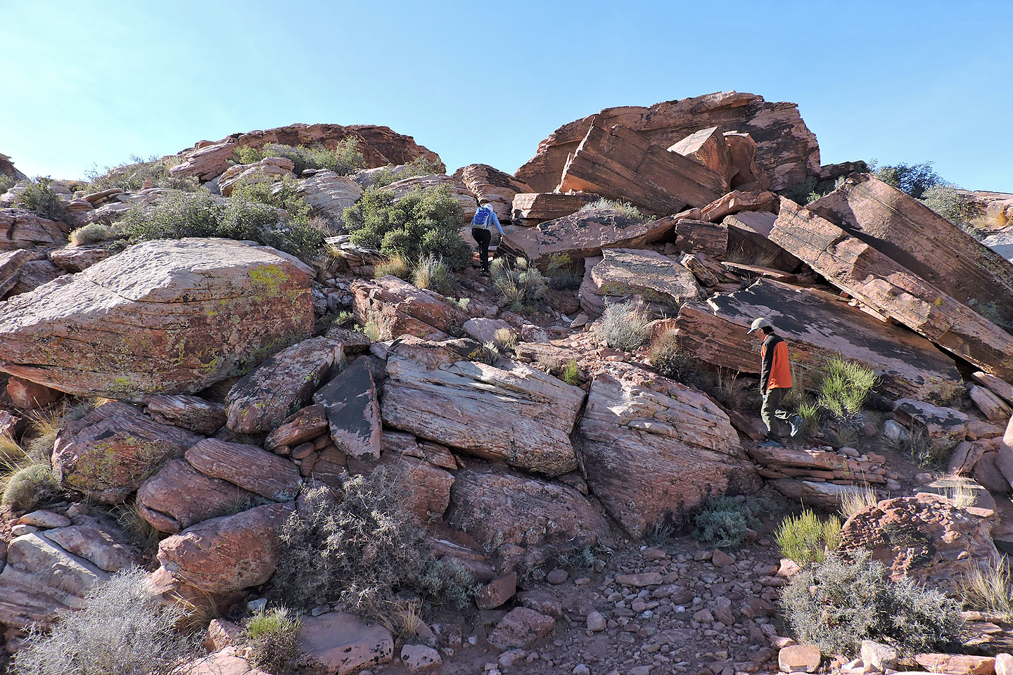
Dinah pulls herself up through boulders
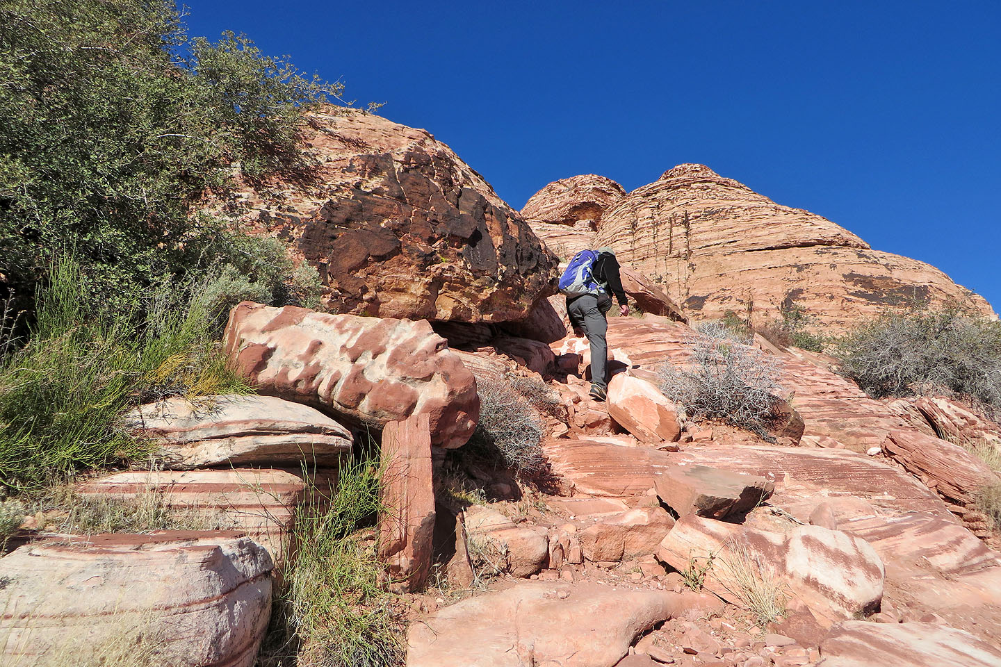
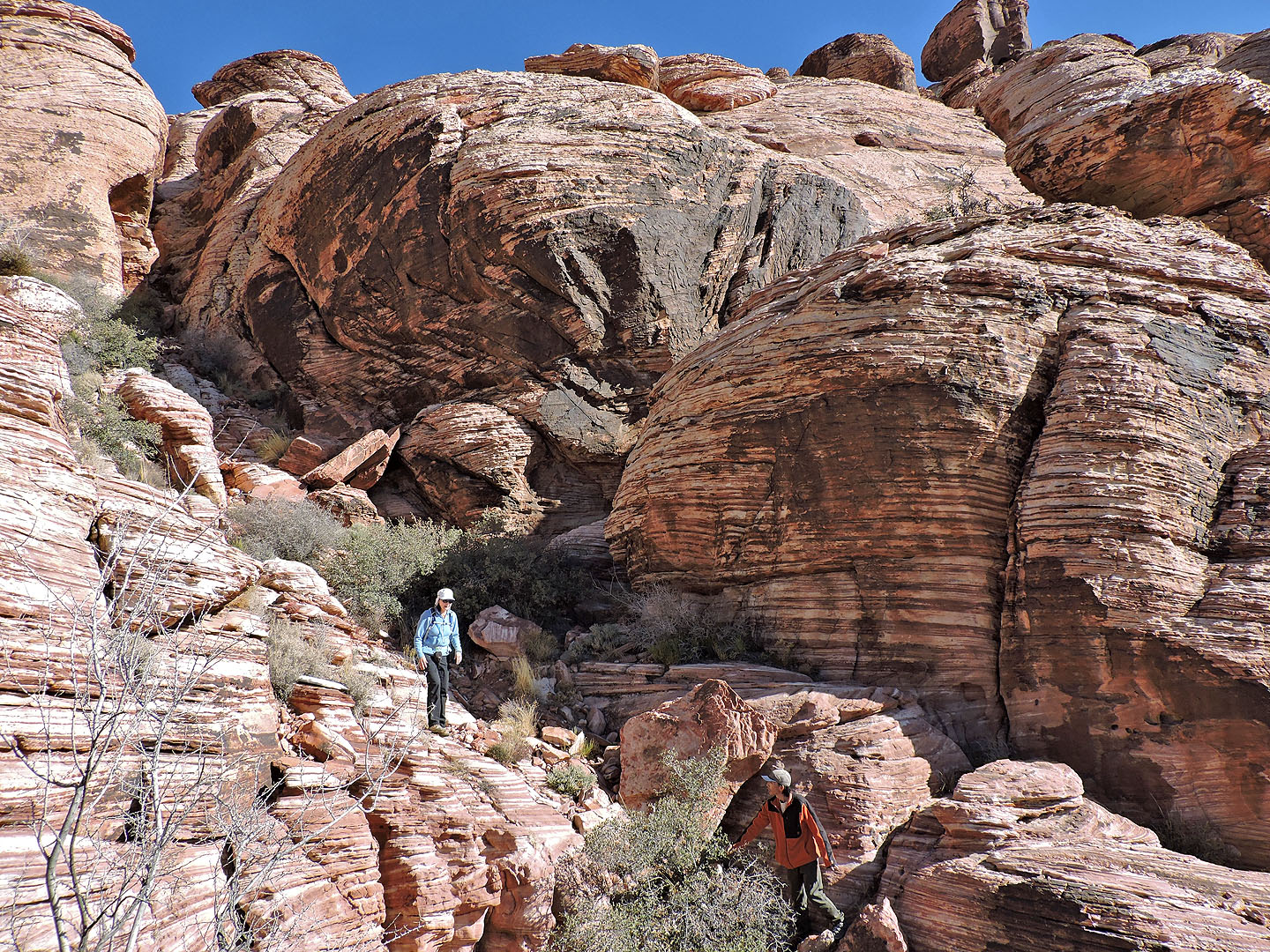
Near the top of the ridge the grade eases and the terrain opens up
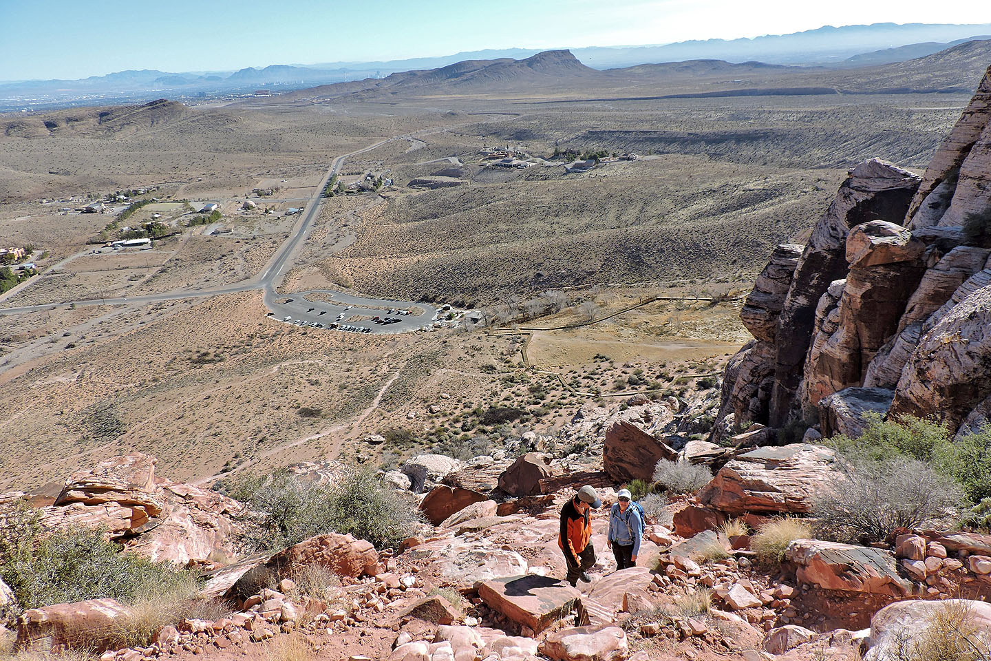
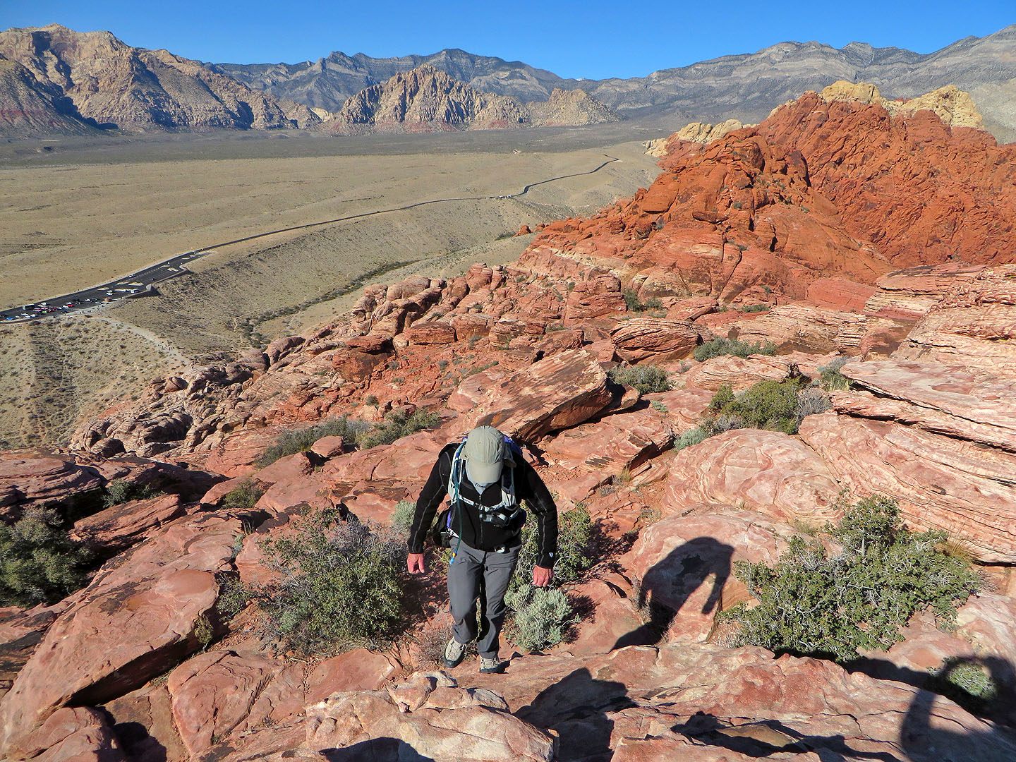
Looking back at the parking lot
Lying north, top to bottom, are Damsel Peak, Graycap and Kraft Mountain. The small gray point right of Damsel is Goat Bed Peak.
Nearly on the ridge crest
The red rock behind is Foundation Peak
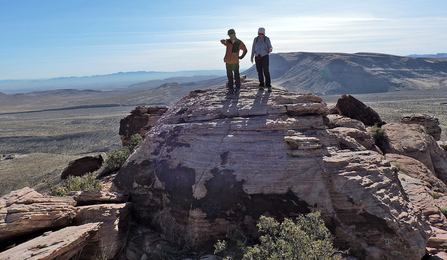
Shin and Dinah stand on the summit
Starting down the west side
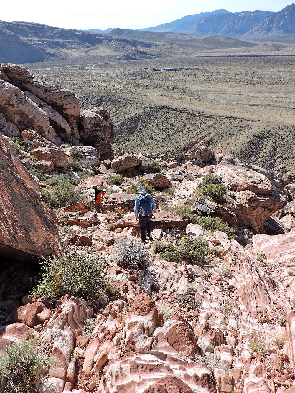
At first route-finding was easy
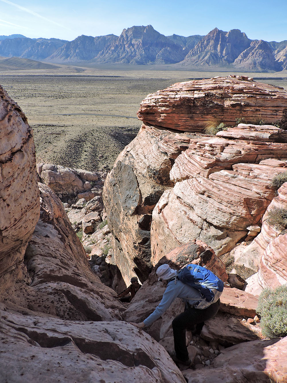
When we ran into difficult terrain, a search revealed a slot we could descend
I started down
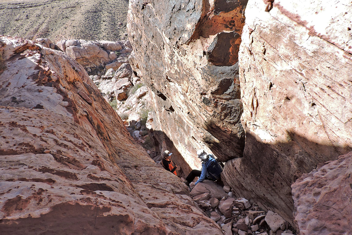
Almost at the bottom of the slot
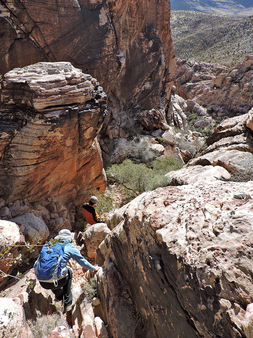
Continuing our descent
Pausing to figure out our next move
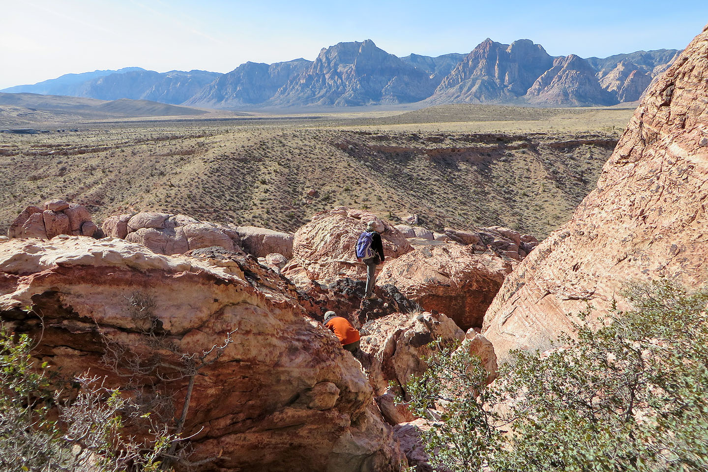
We're headed to the wash below although it's still a ways to go
Almost at the bottom
Looking back as Dinah and Shin come to join me at the bottom
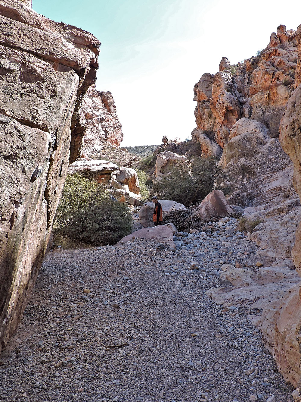
Going down the wash
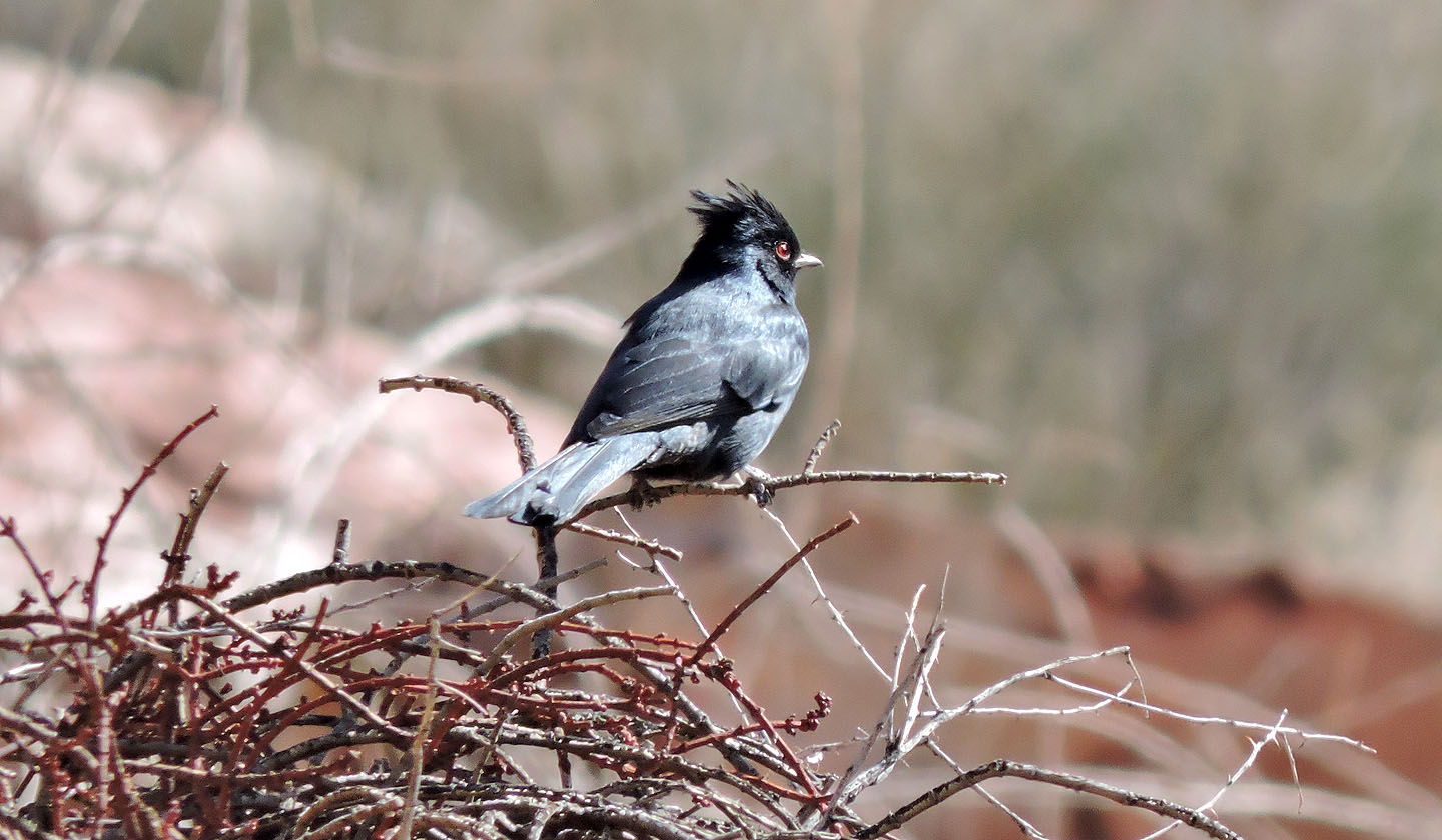
Phainopepla

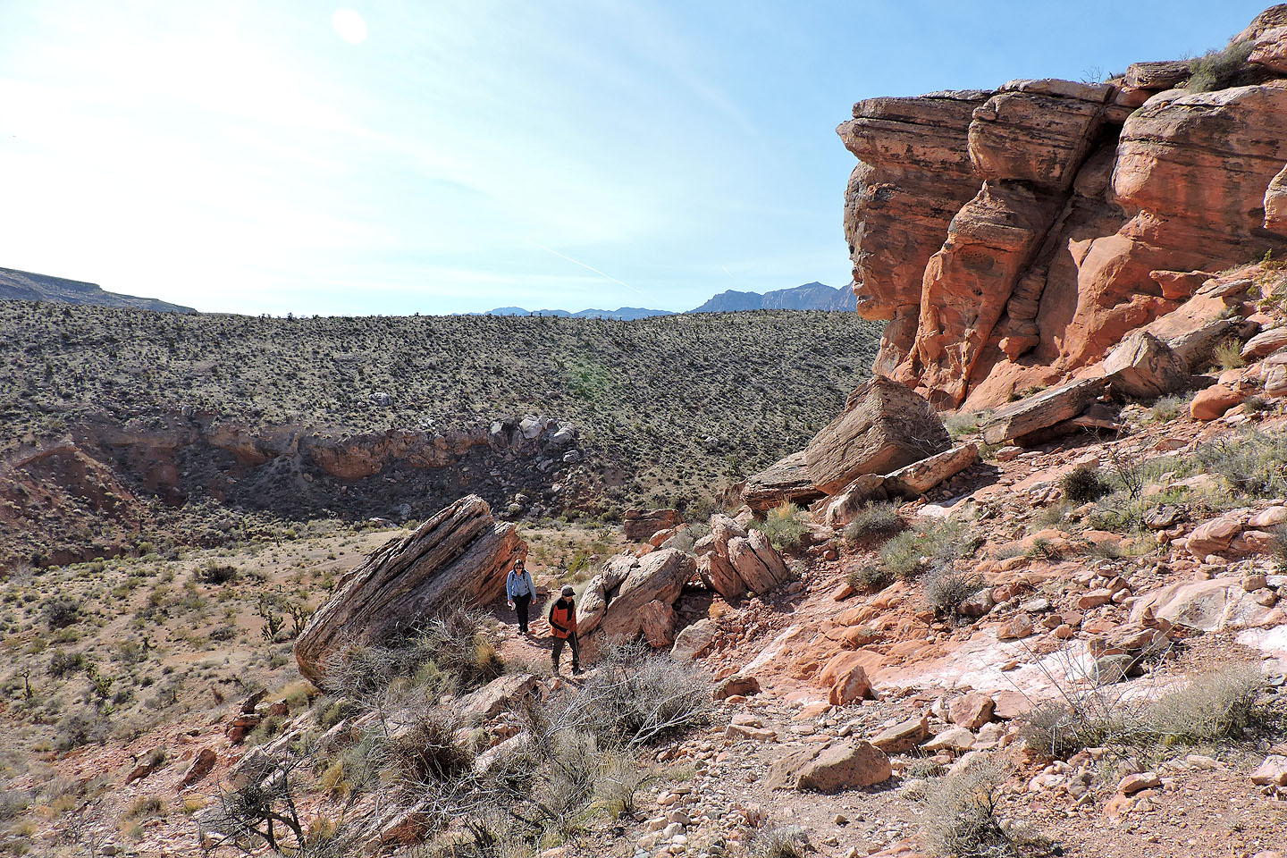
We followed the trail around the south end of Red Spring Peak
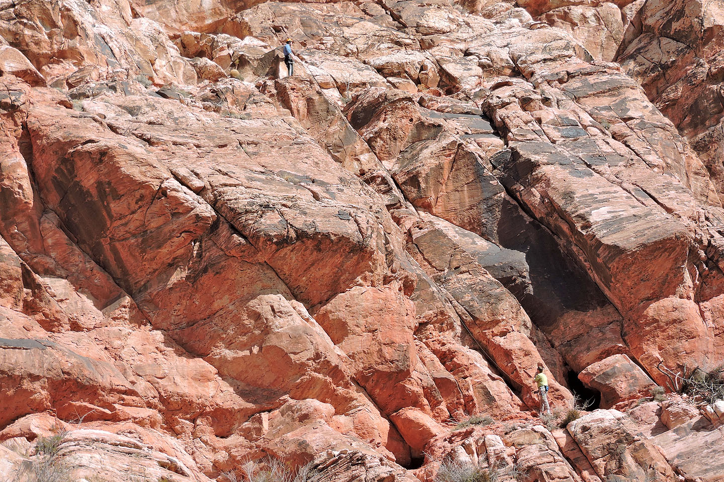
Here two people are doing a technical climb. Notice the rope. (Mouse over to zoom out.)
The trail climbs a low ridge ...
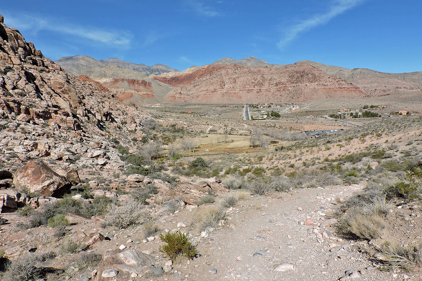
... before leading back to Red Springs
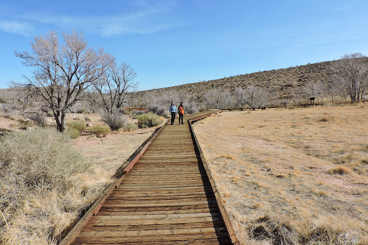
We completed our hike by walking down the boardwalk
La Madre Mountain (1.7 mi, 4298 ft, 712 ft)