bobspirko.ca | Home | Canada Trips | US Trips | Hiking | Snowshoeing | MAP | About
Mount Graybeard
Lake Mead NRA, Nevada
October 19, 2017
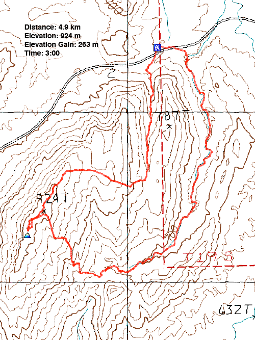
Distance: 4.9 km (3.0 mi)
Cumulative Elevation Gain: 283 m (928 ft)
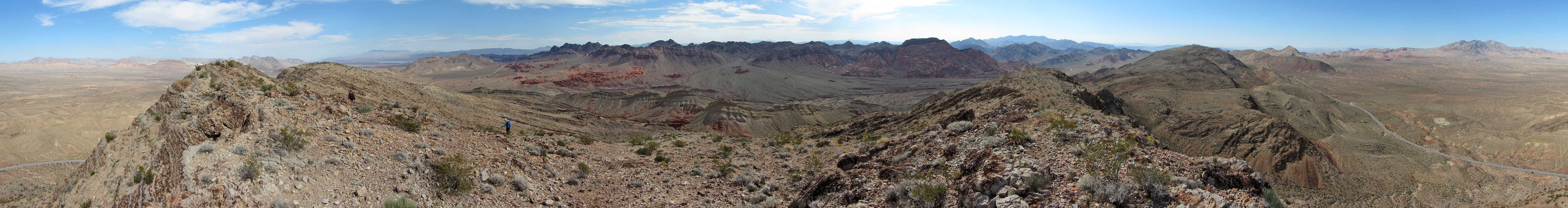
Mount Graybeard is a small desert peak with a humdrum ascent, but when combined with a descent to a wonderland of colourful rocks, it becomes a class 2 hike worth writing about. Graybeard sits at the north end of Pinto Ridge.
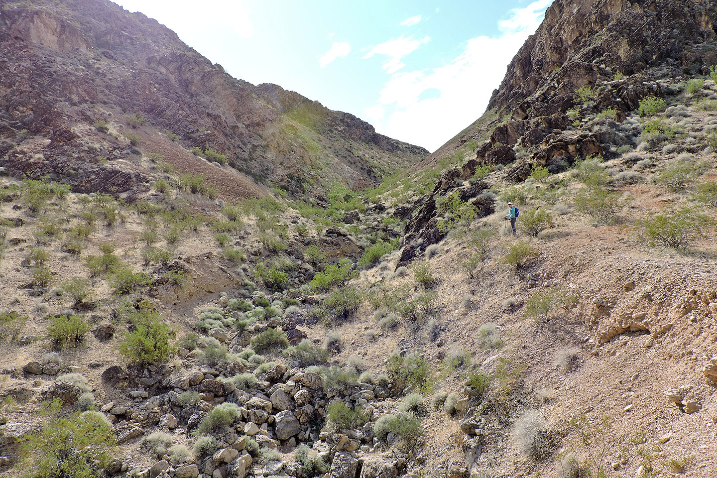
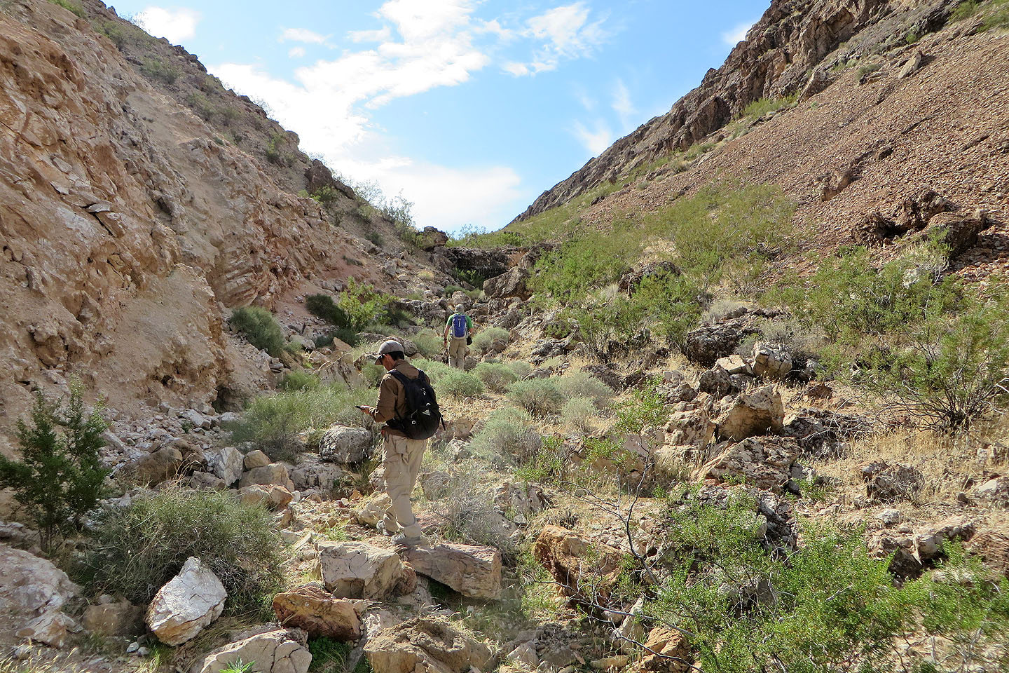
For our starting point, Shin, Dinah and I pulled into a parking lot on Northshore Road. We crossed the road and hiked up a wash bracketed by steep rock. At the top of the wash, we turned right and followed a gentle grade up the ridge. In a short time, we reached a summit cairn, so tall we had noticed it while driving up the road. It's not on the actual summit of Graybeard, but it bears a register.
We continued up the ridge, past the “X” on the topo map, to the highest point on Graybeard that we could discern. Actually, there are two little points equally high but neither held a cairn.
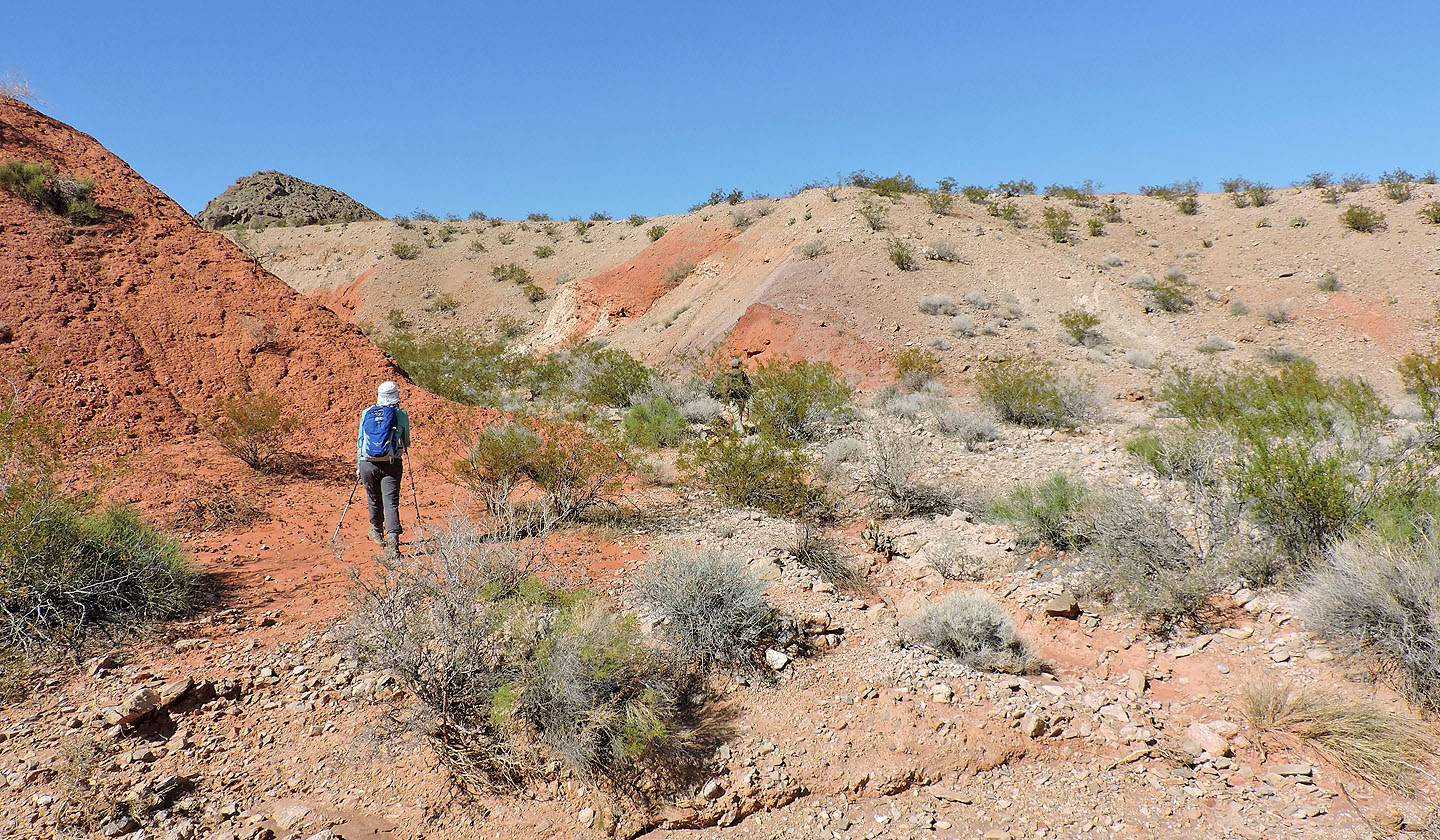
After a short summit stay, we backtracked a bit before starting our descent to a red sandstone watershed. The watershed is at the head of two washes: one running north and the other south. The north wash leads to the wash we used on our ascent.
The watershed with orange and red and white rocks was a great place to look around. We paused to take it in before cruising down the north wash back to the highway. We reached the road a short distance from where we parked.
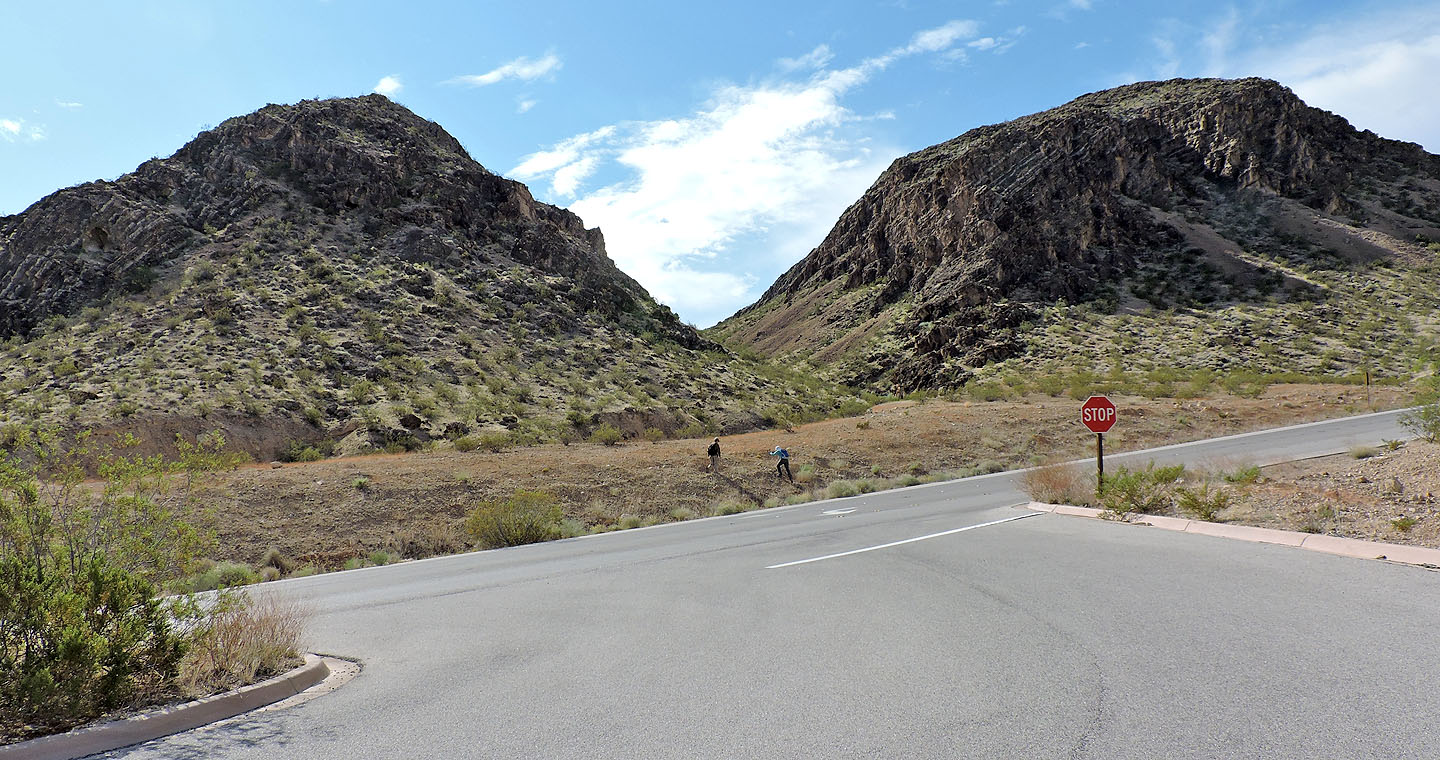
From the parking lot, we headed to the wash left of Mount Graybeard
Dinah is about to drop down into the wash
Going up the wash
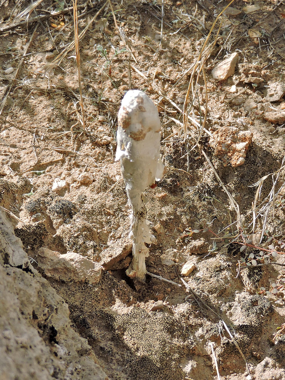
Desert shaggy mane mushroom. It's the first mushroom I've seen in the desert.
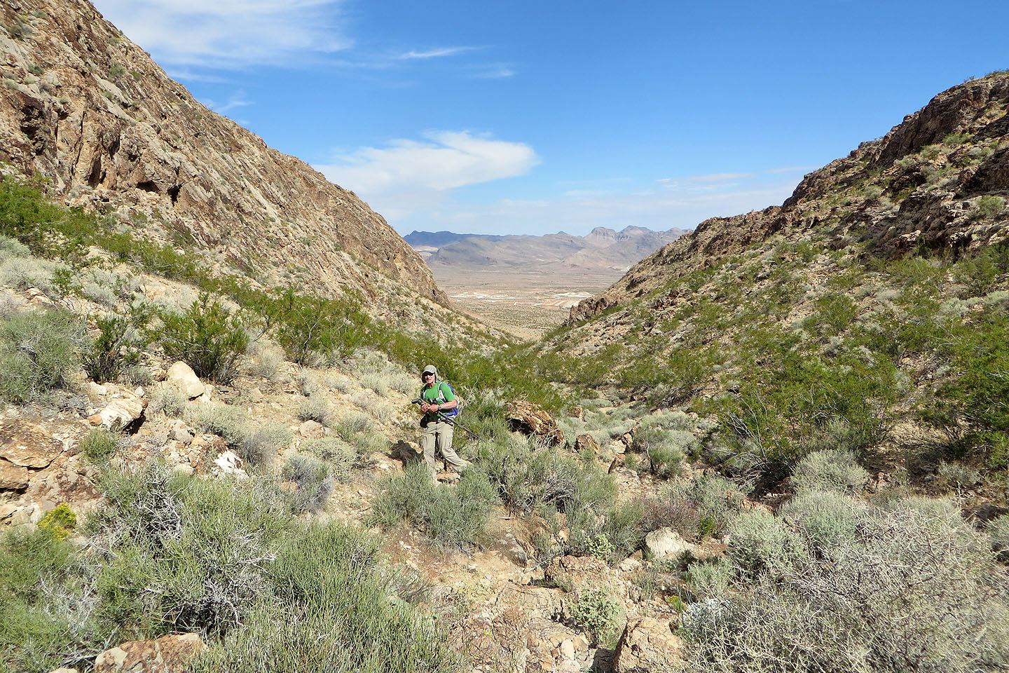
Looking back down the wash
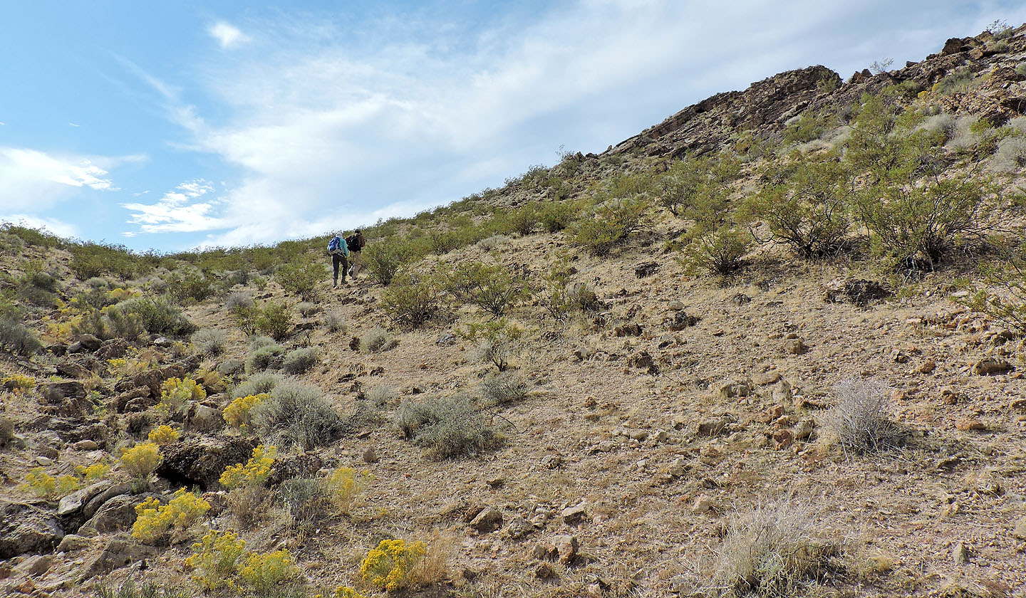
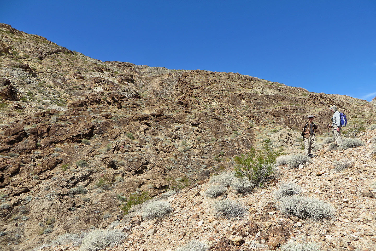
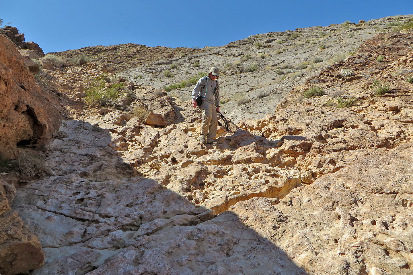
We left the wash and started up the slope
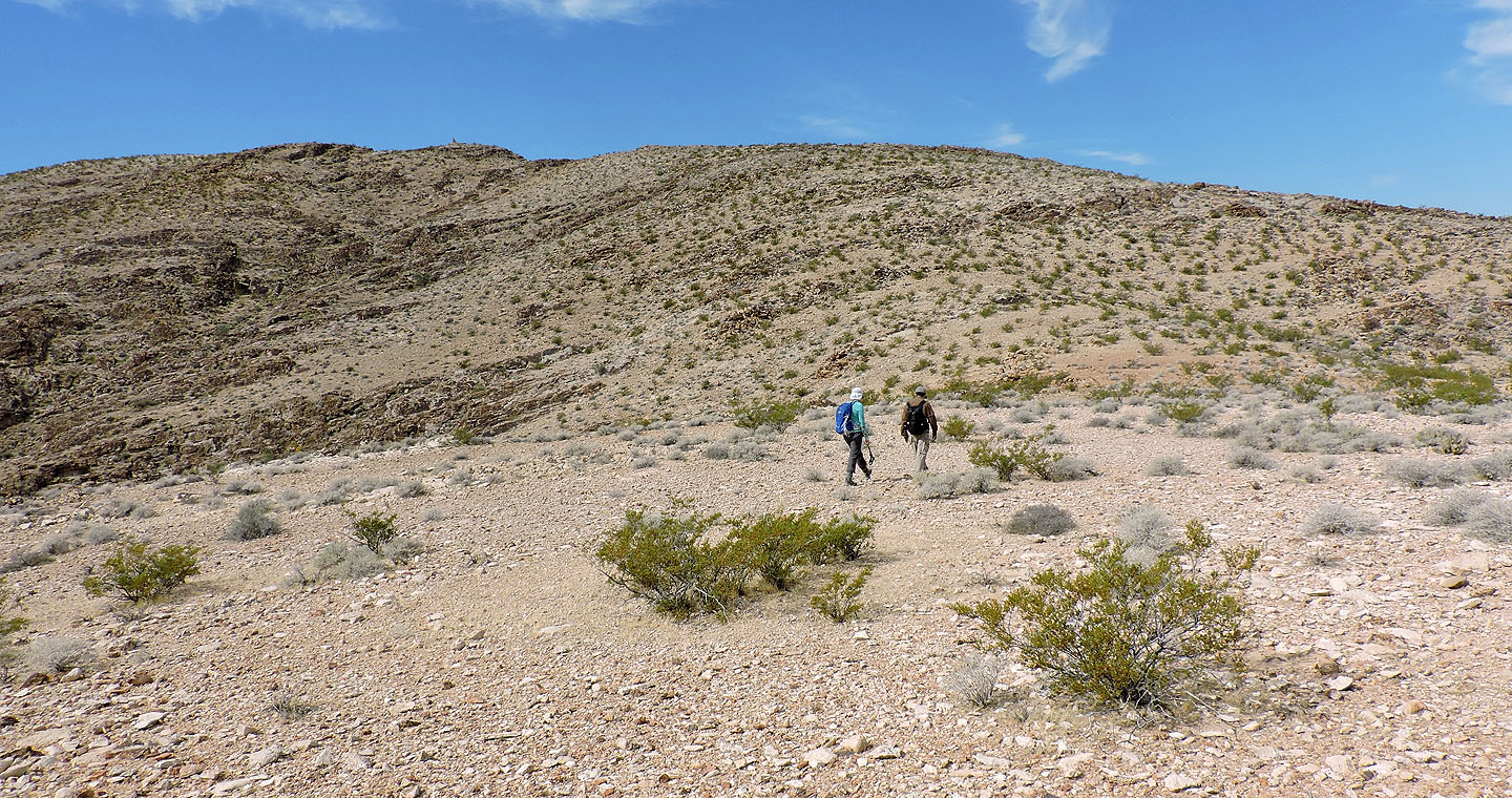
Travel was easy up a gentle grade
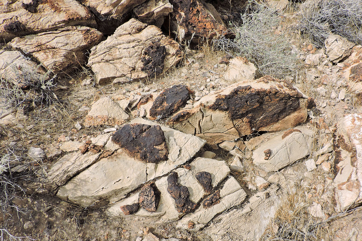
Fossil sponges
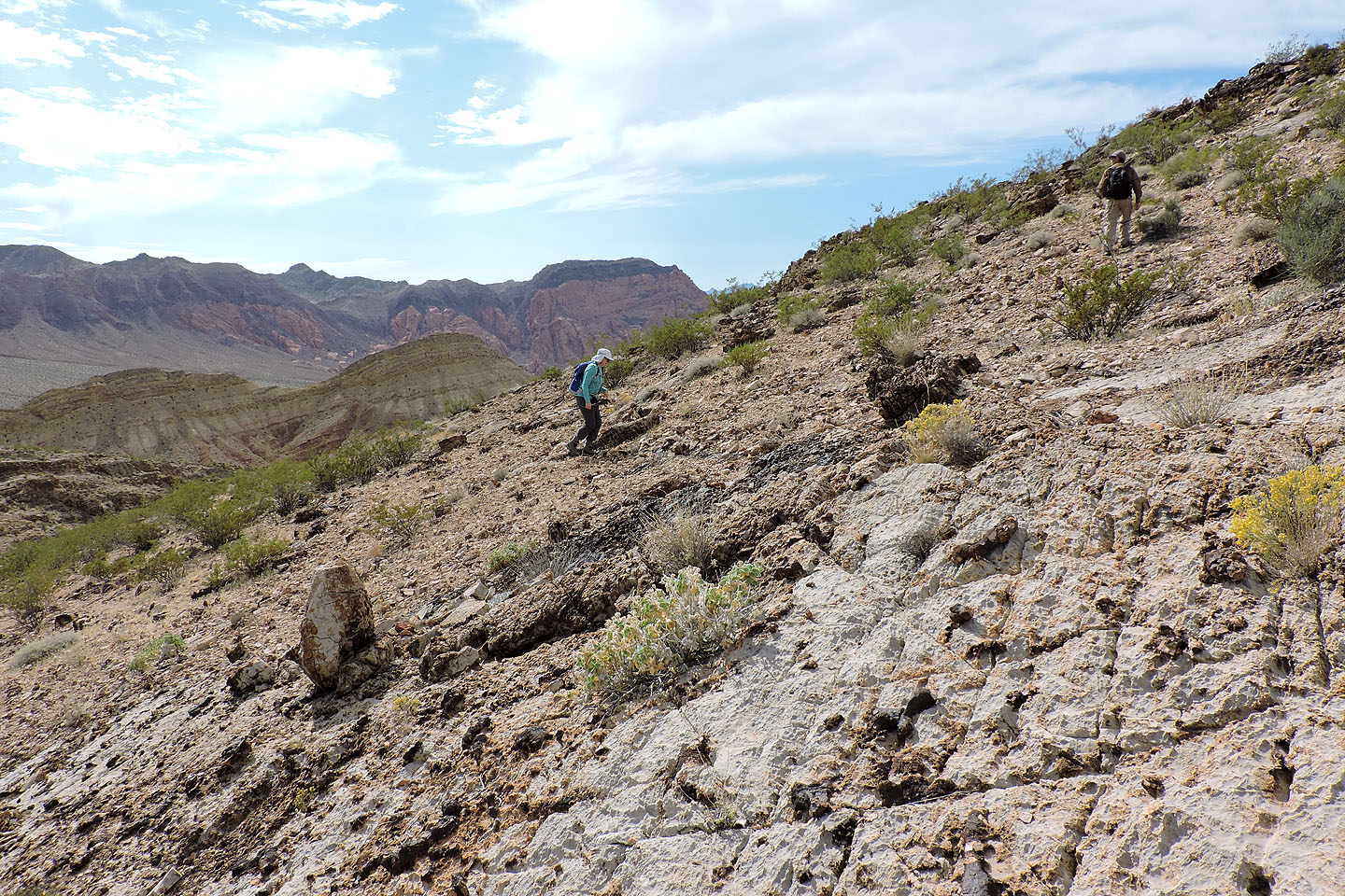
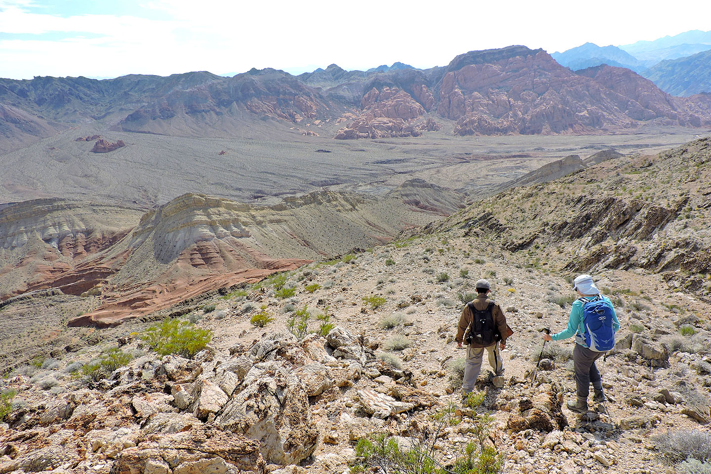
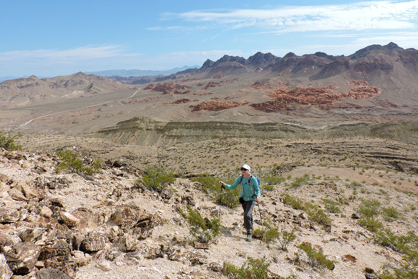 Behind us is Redstone Picnic Area. The high, pointed peak on the right is Little Pyramid Peak
The summit cairn is on the left
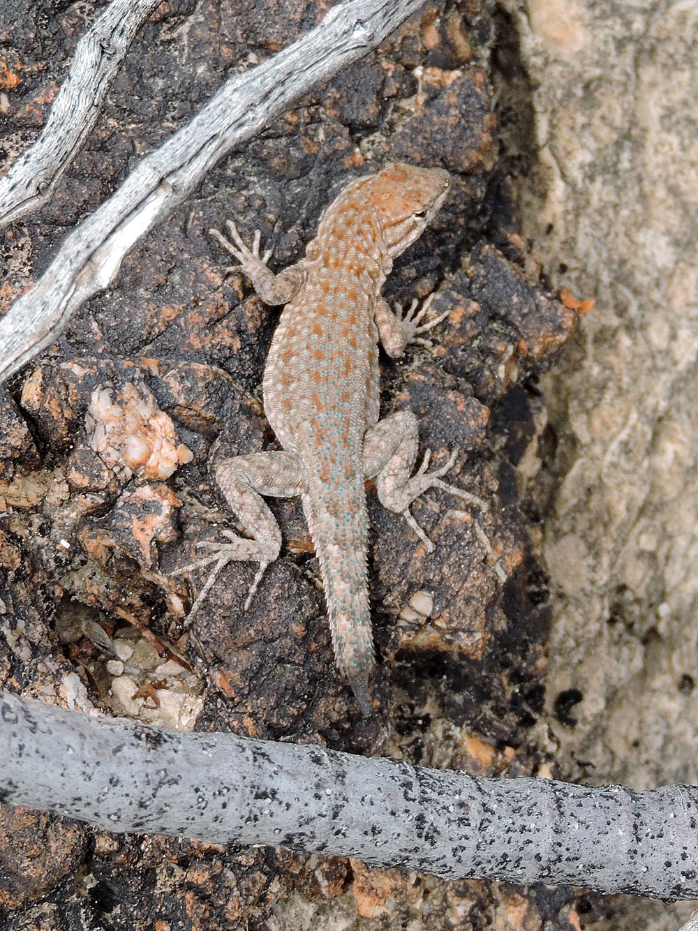
A lizard missing its tail
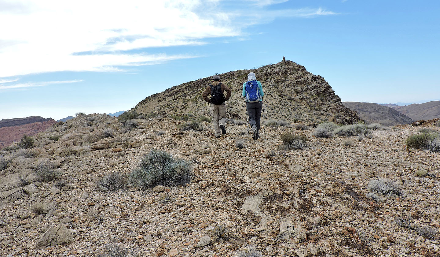
Heading to the cairn
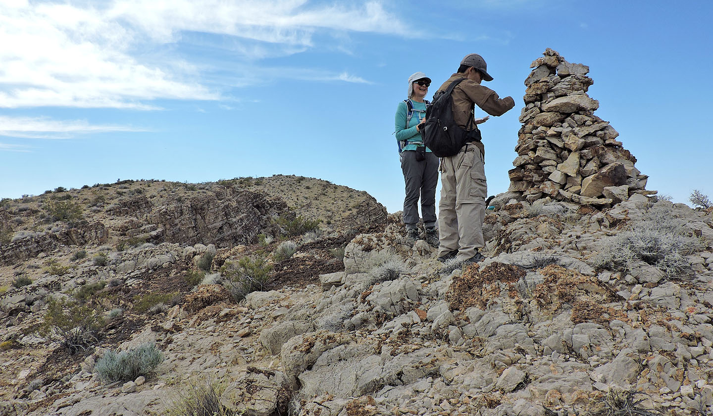
Shin reads the summit register
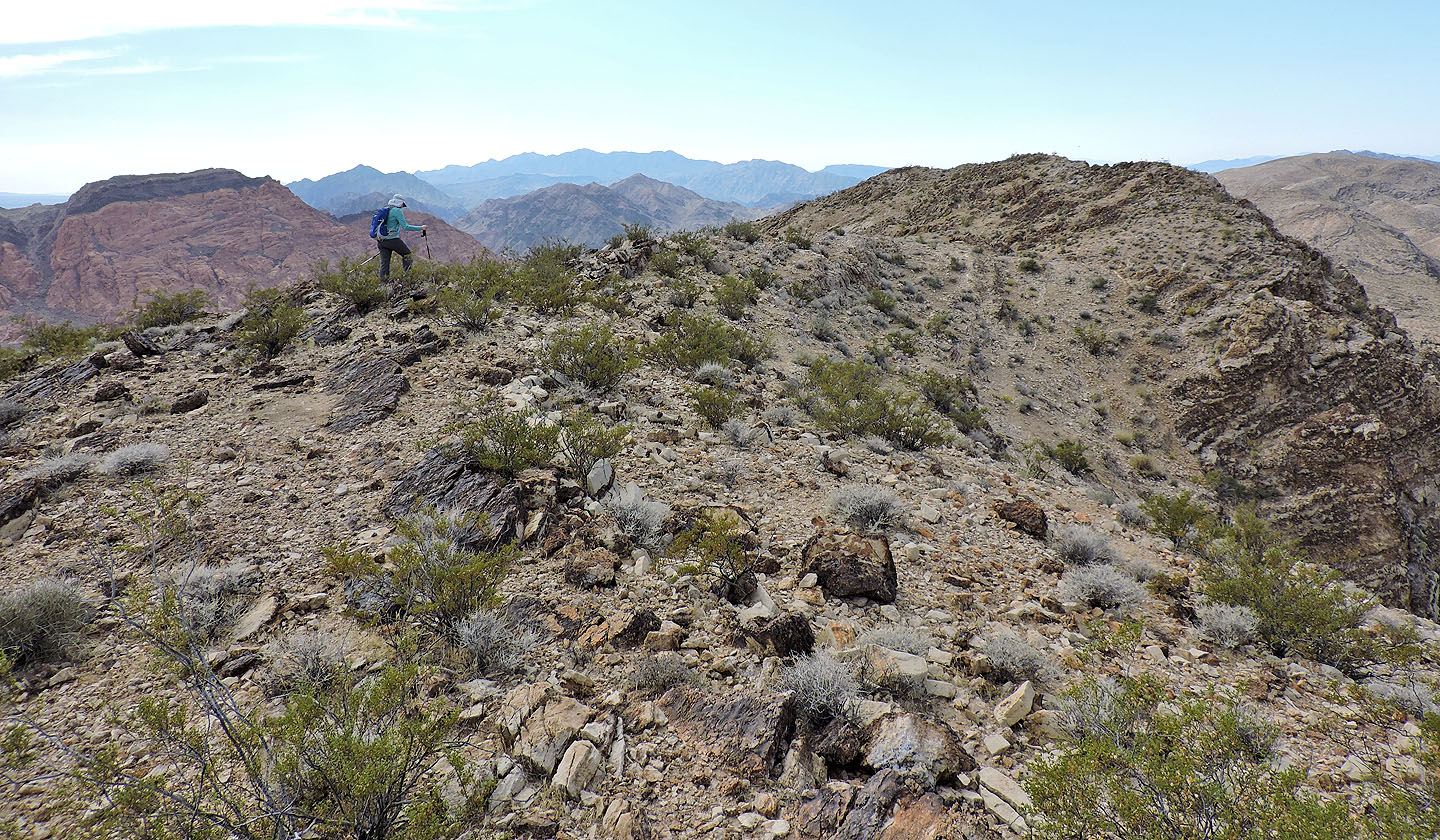
We went on to climb the highest point
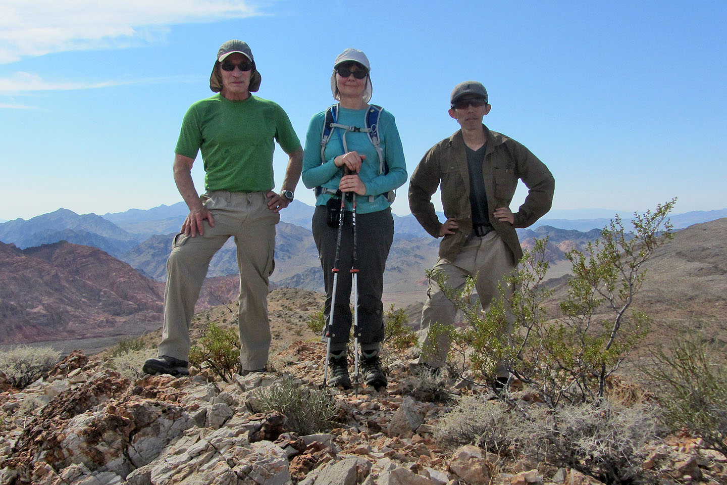
On the summit of Mount Graybeard 300 m past the cairn
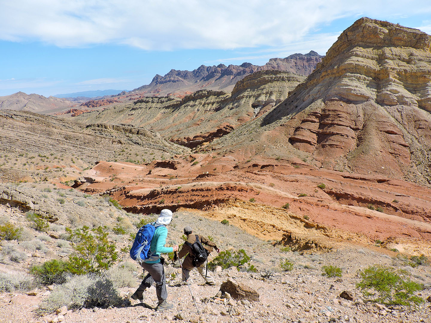
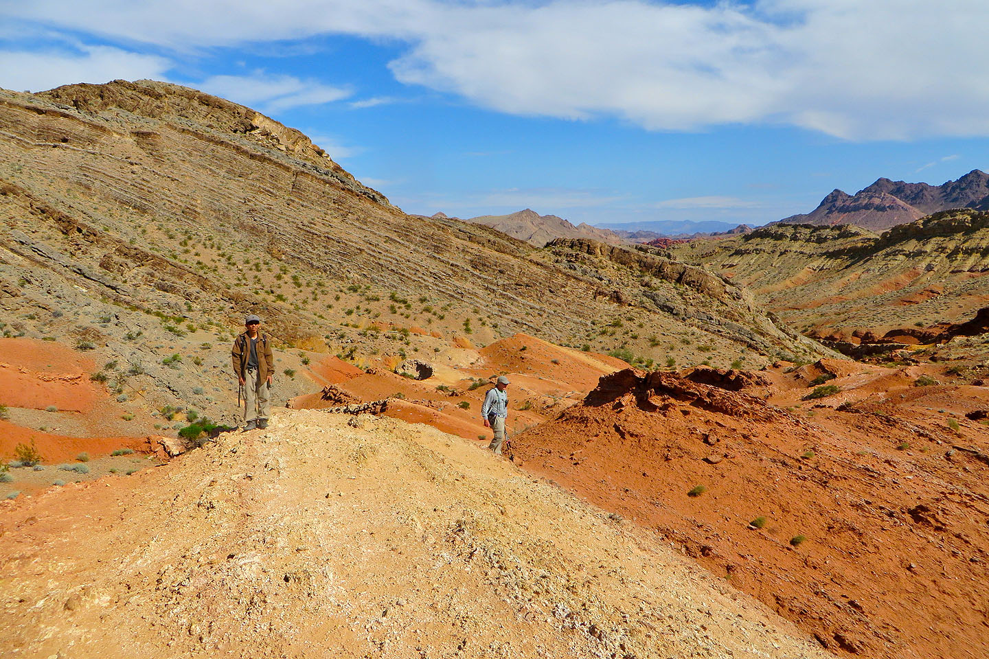
After tagging the summit we backtracked along the ridge a bit and dropped down to the red sandstone below
We circumvented the complex slope behind us and made a class 2 descent
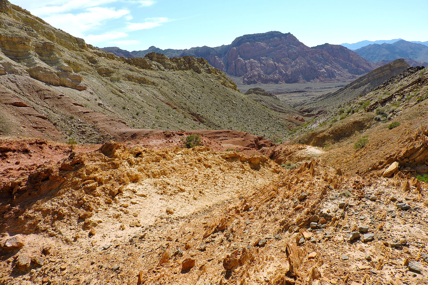
Almost at the watershed
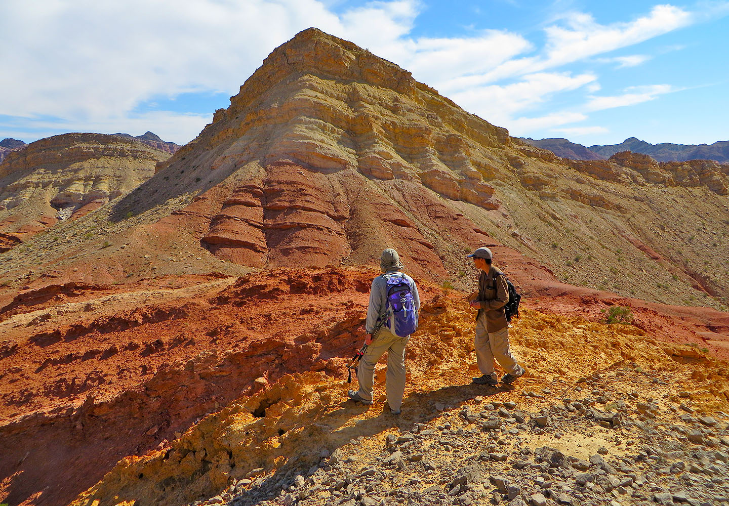
We were blown away by the rich colours here
Looking south at Sentinel Peak
We spent several minutes exploring the area
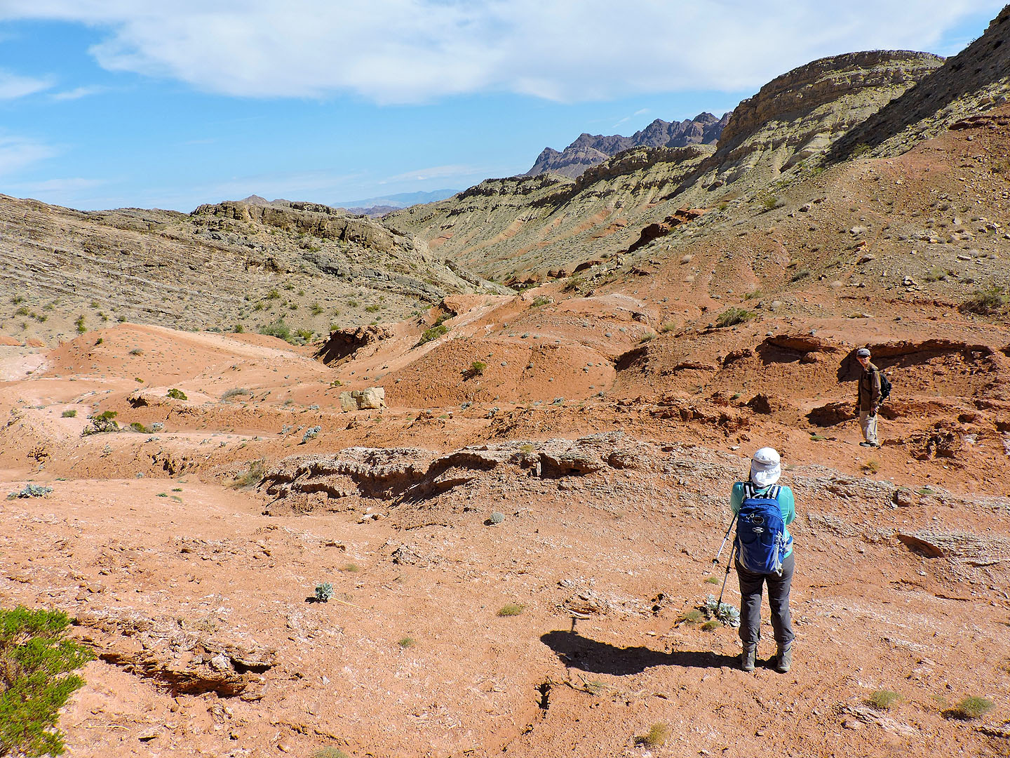
Eventually we made our way to our descent wash
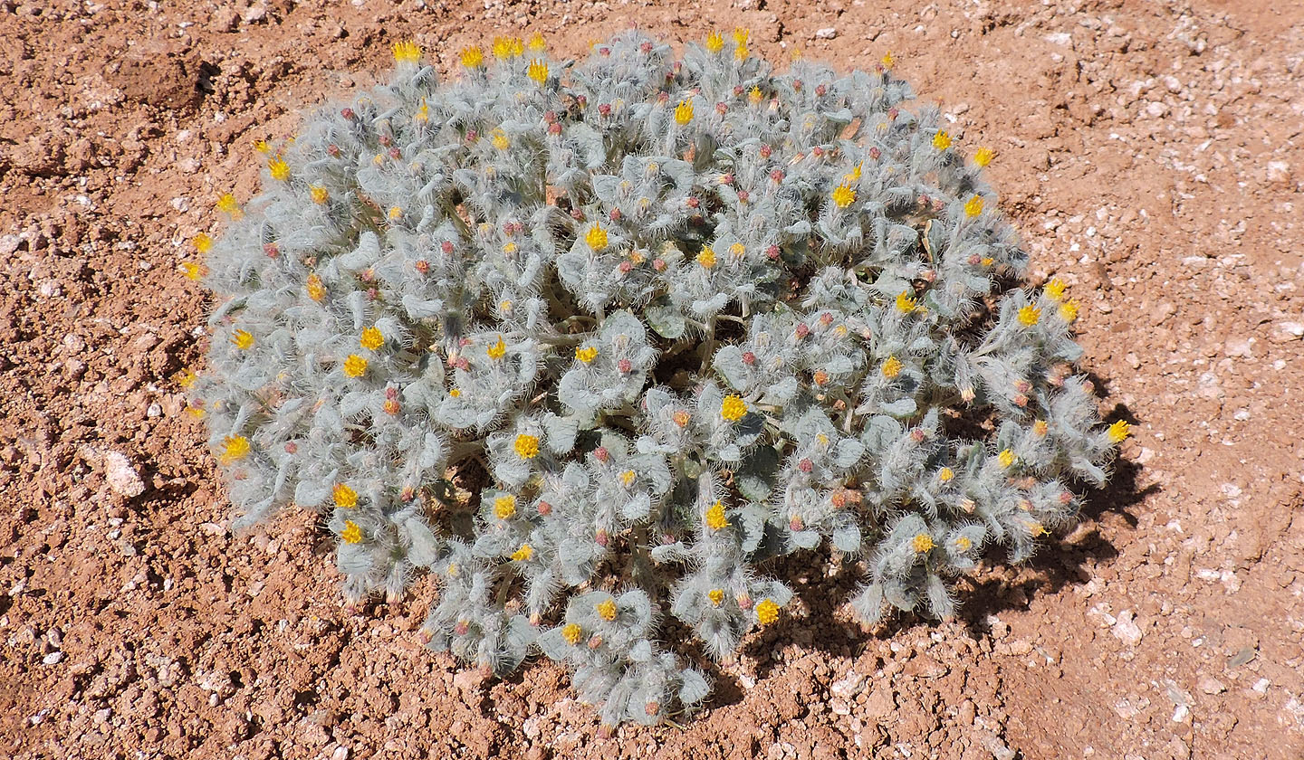
Hairybeast turtleback
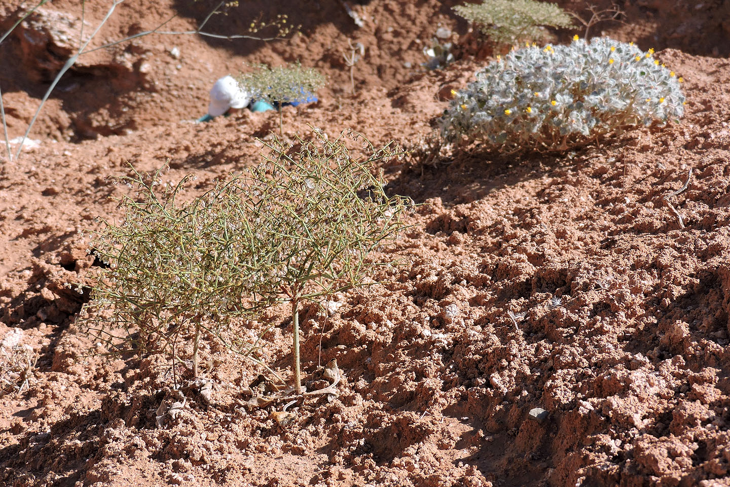
There were lots of these tiny bushes, a few inches high, that looked like miniature trees
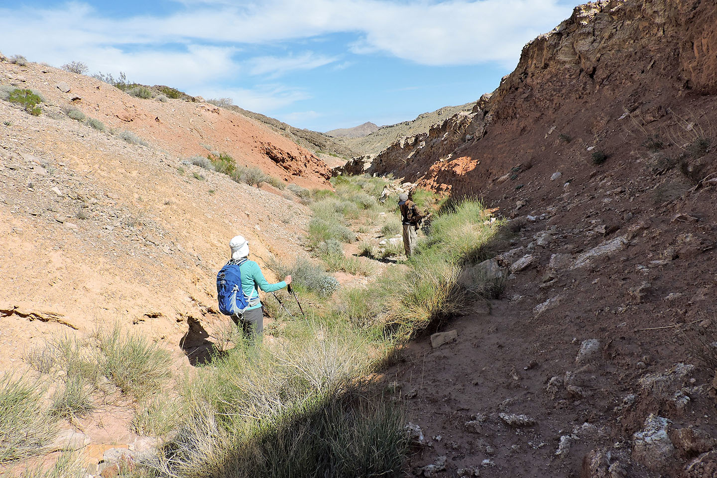
Heading down the wash
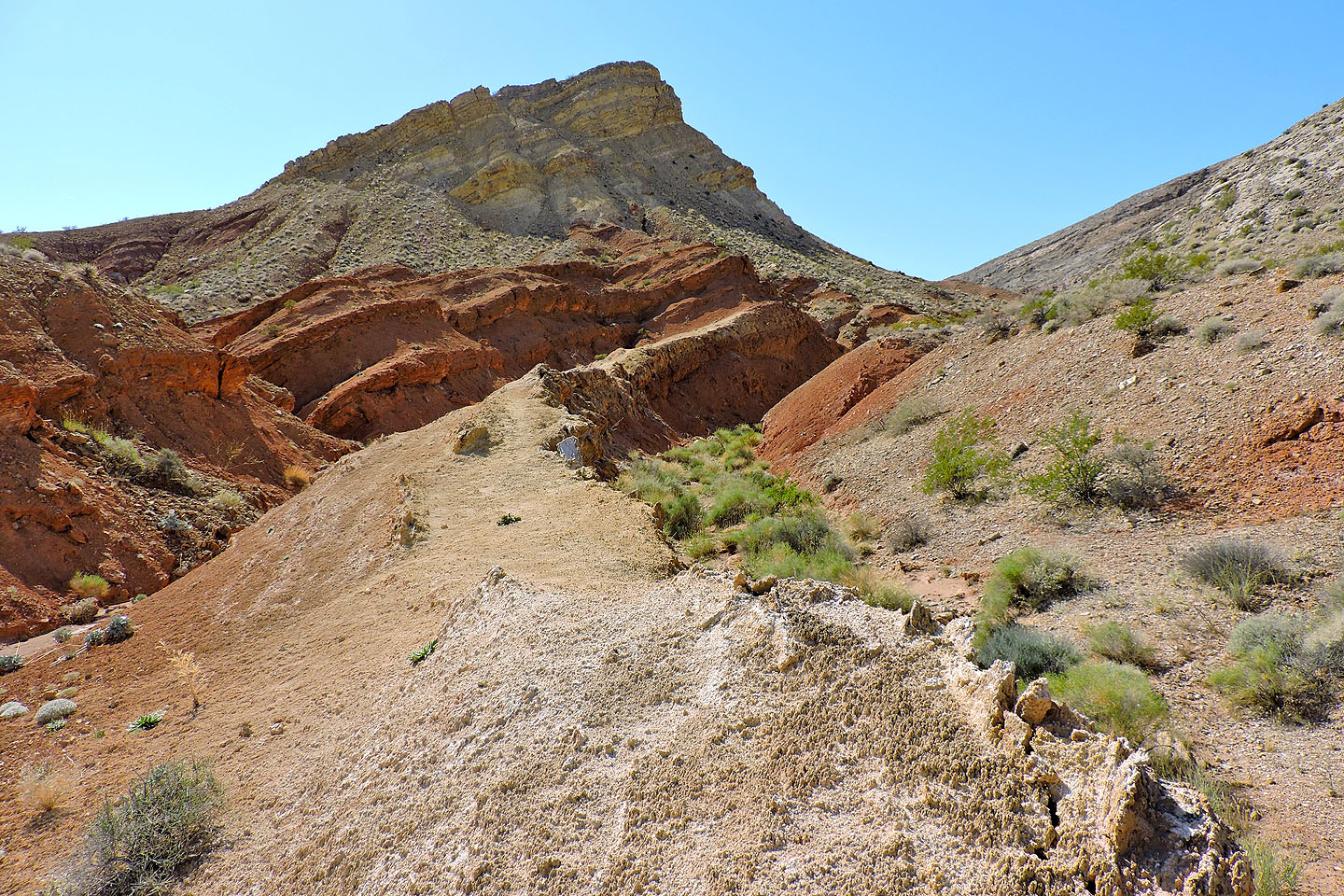
Looking back at the watershed
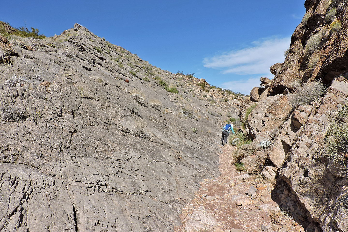
Passing smooth slabs
A variety of terrain made the wash interesting
Ahead is the highway, a short distance from the parking lot
Boulder Canyon (3.0 mi, 3031 ft, 863 ft)