bobspirko.ca | Home | Canada Trips | US Trips | Hiking | Snowshoeing | MAP | About
Hidden Peak
Red Rock Canyon NCA, Nevada
April 23, 2011
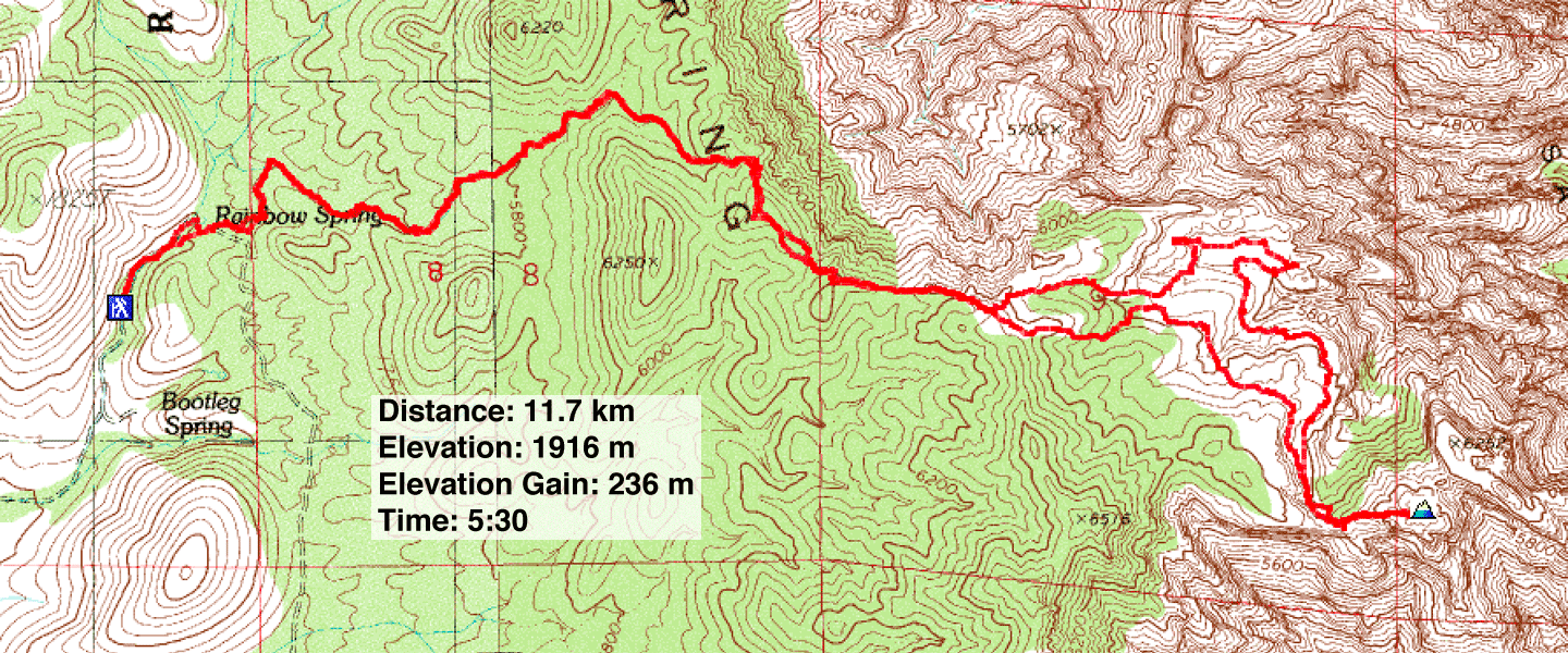
Distance: 11.7 km (7.3 mi)
Cumulative Elevation Gain: 575 m (1886 ft)
Dinah and I had the good fortune to be invited on a hike by Nish, a friend of a friend. (Nish, a real estate agent, would later sell us a condo). But Nish wasn't leading the hike – that was Gary's job, an organizer with Las Vegas Meetup. Along with Leon, Jesse and Paige, Gary would take us up Hidden Peak using the west approach.
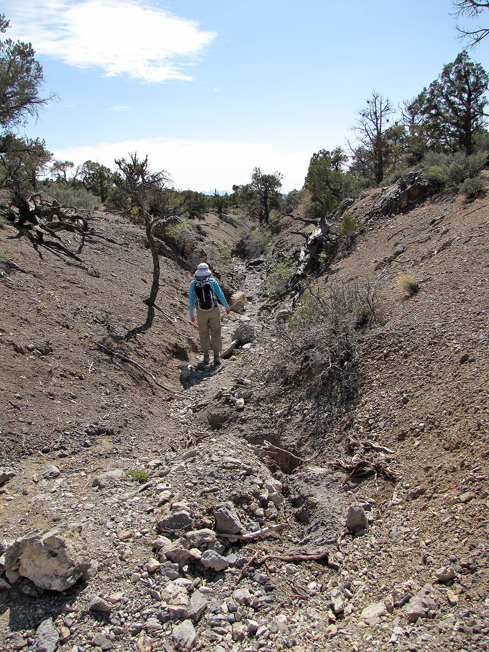
After driving down a rough road that left one SUV scratched from encroaching bushes, we parked at the trailhead in Rainbow Wilderness. The trail follows a curving wash that climbs out onto scrubby slopes before ending on beautiful, expansive sandstone rock. From there we hiked and scrambled to the top of Hidden Peak. But the trip didn't end at the summit. Afterwards, we dropped down to a hidden forest where Gary pointed out some unusual delights including tiered tanks and a “blind arch.” After getting our fill of eye candy below Hidden Peak, we followed the trail back to our cars.
Hidden Peak wasn't a challenging trip, but it offered better scenery than I expected. And of course, it's always nice to meet fun-loving people up for a mountain adventure. This is the second time we've hiked with the Las Vegas Meetup and as before, we thoroughly enjoyed their company in Red Rocks.
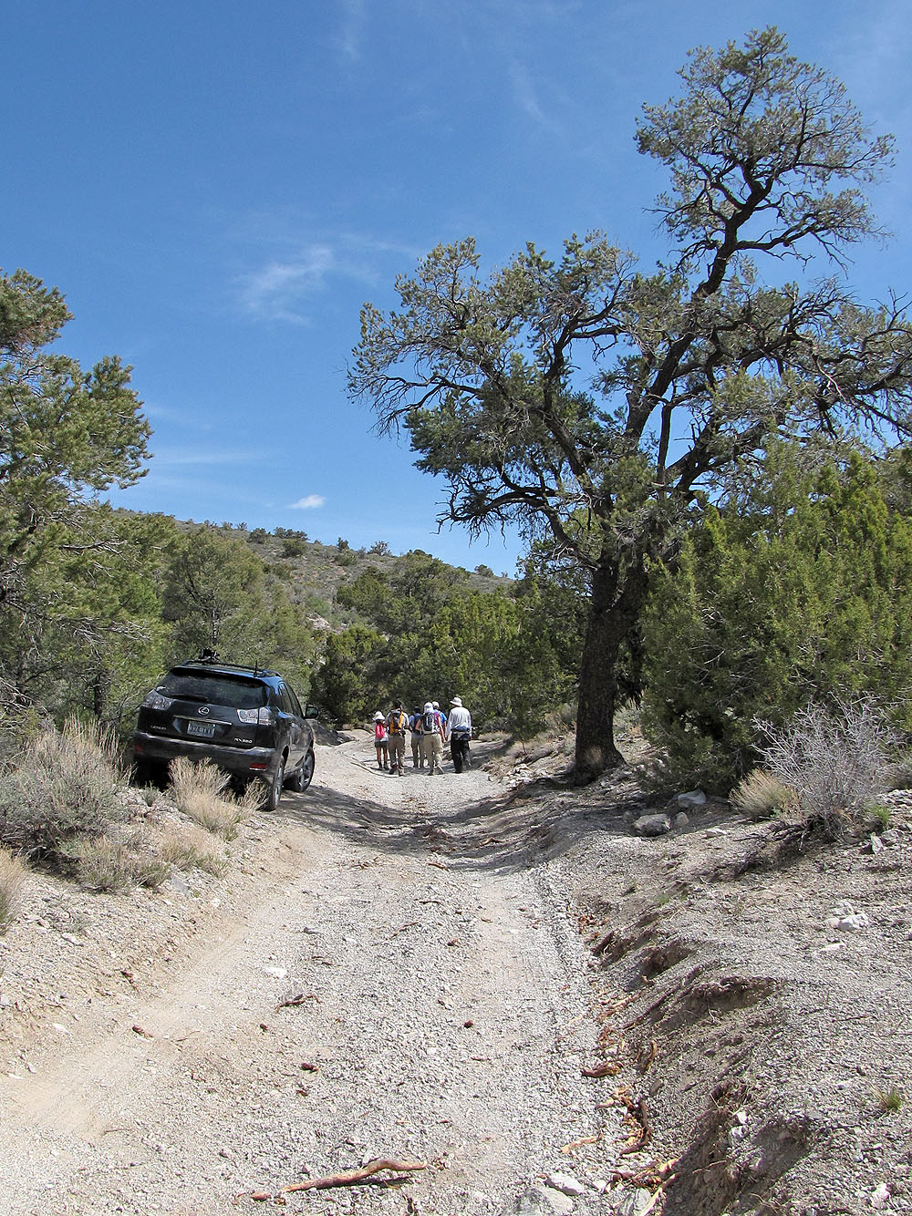
Starting up the road
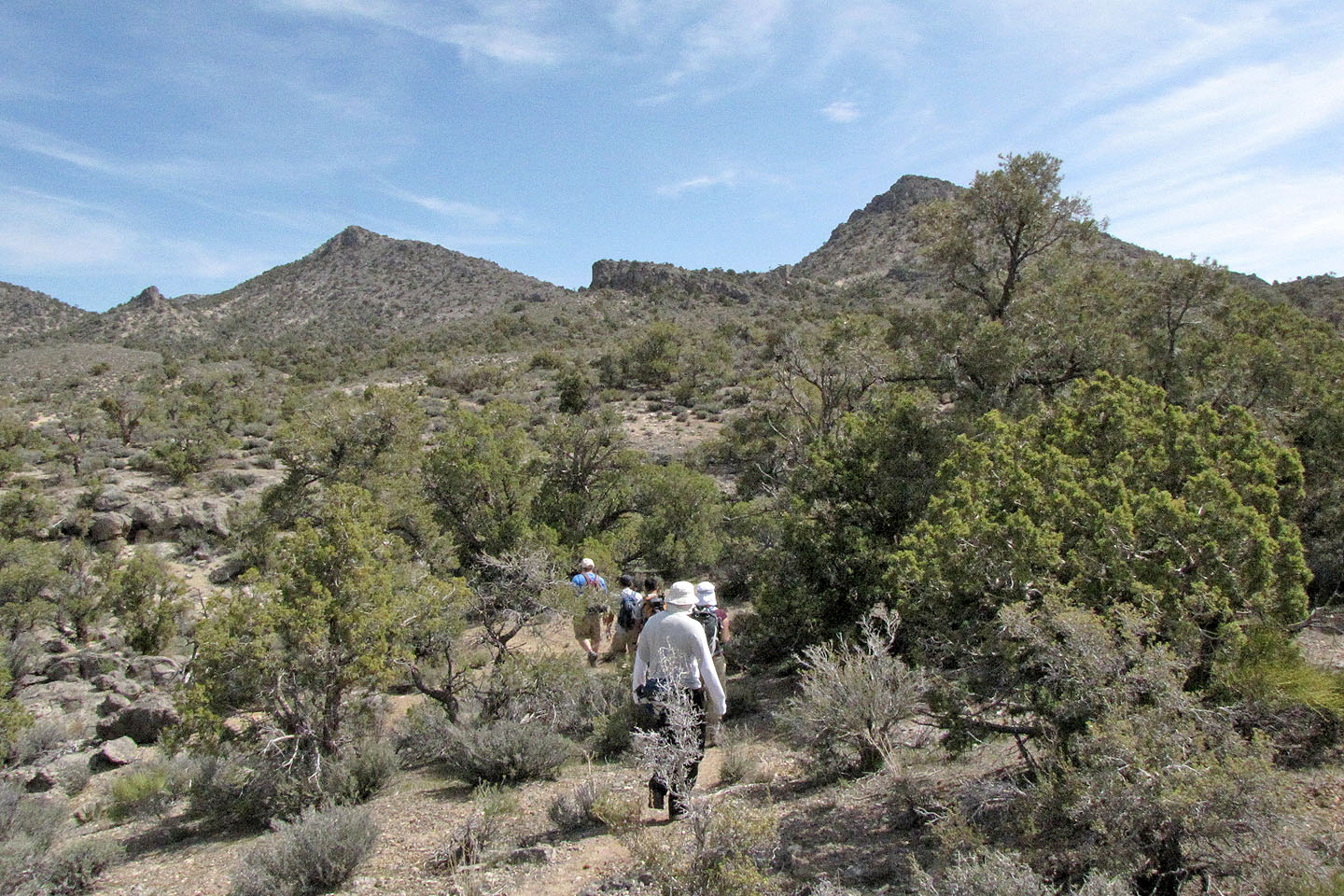
After starting out we have brief views before dropping down and following a wash
45 minutes after starting out, we broke free of the wash and started up semi-open slopes
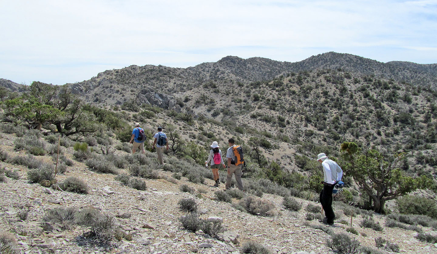
However, there is still little to see
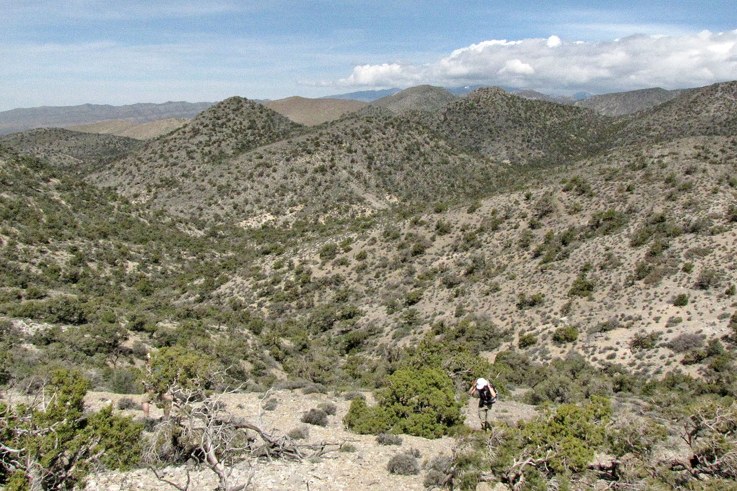
We stopped on a ridge where we had a viewpoint
Paige poses on a rock with Spring Mountain Ranch in the background (mouse over for a close-up)
At last Hidden Peak appears, along with Monument Peak on the left (mouse over to zoom in)
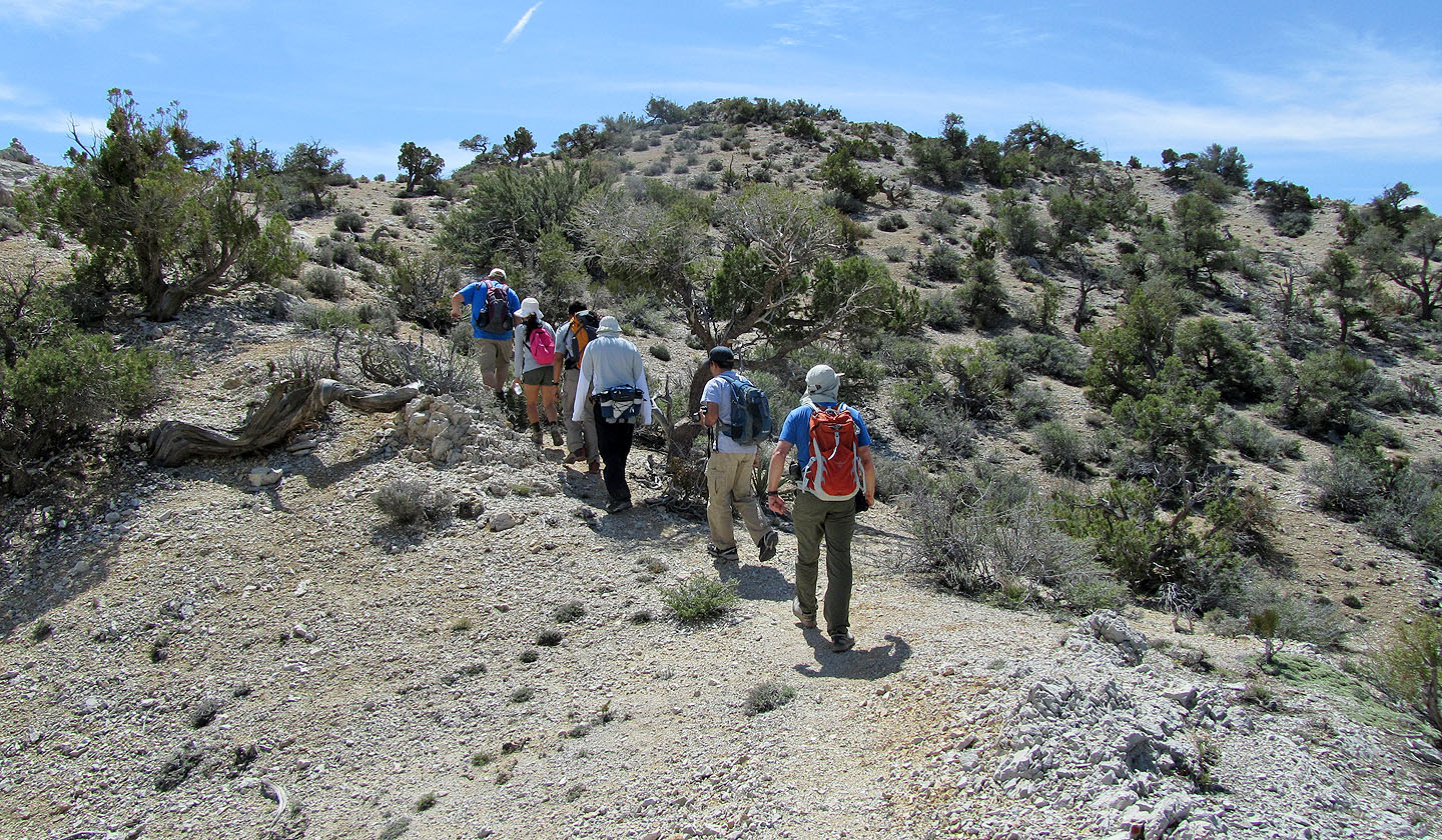
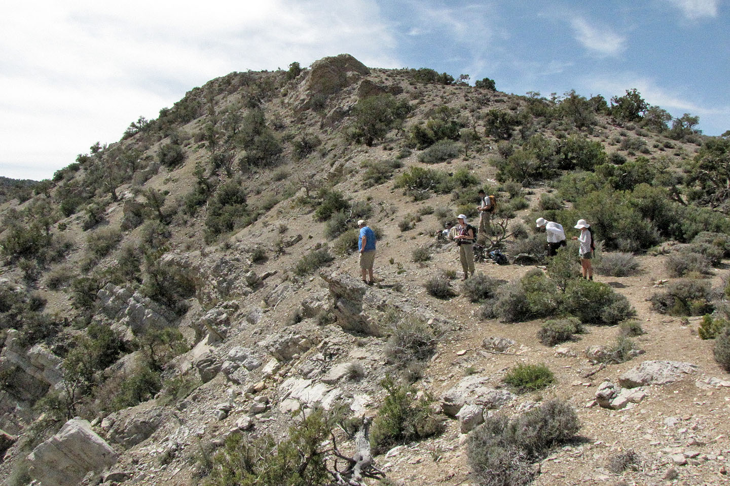
We're still following the trail
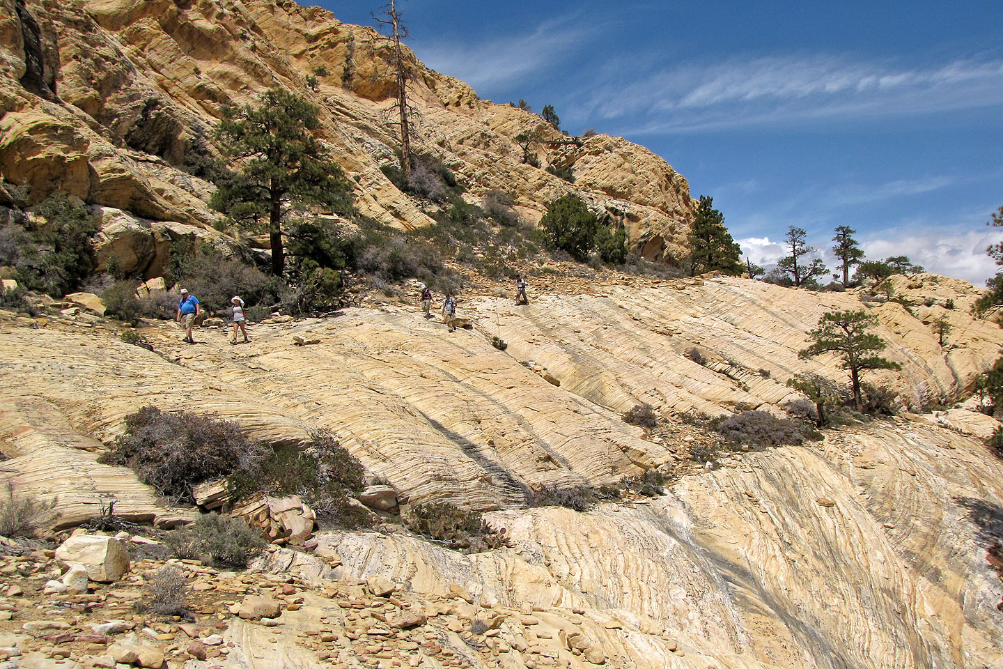
The trail ends on rock
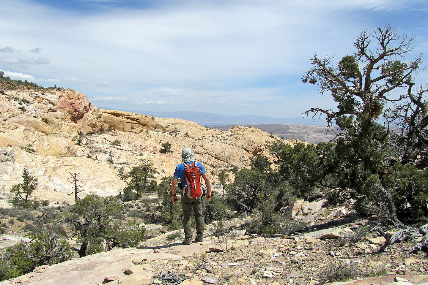
From here to the summit we'll hike on sandstone
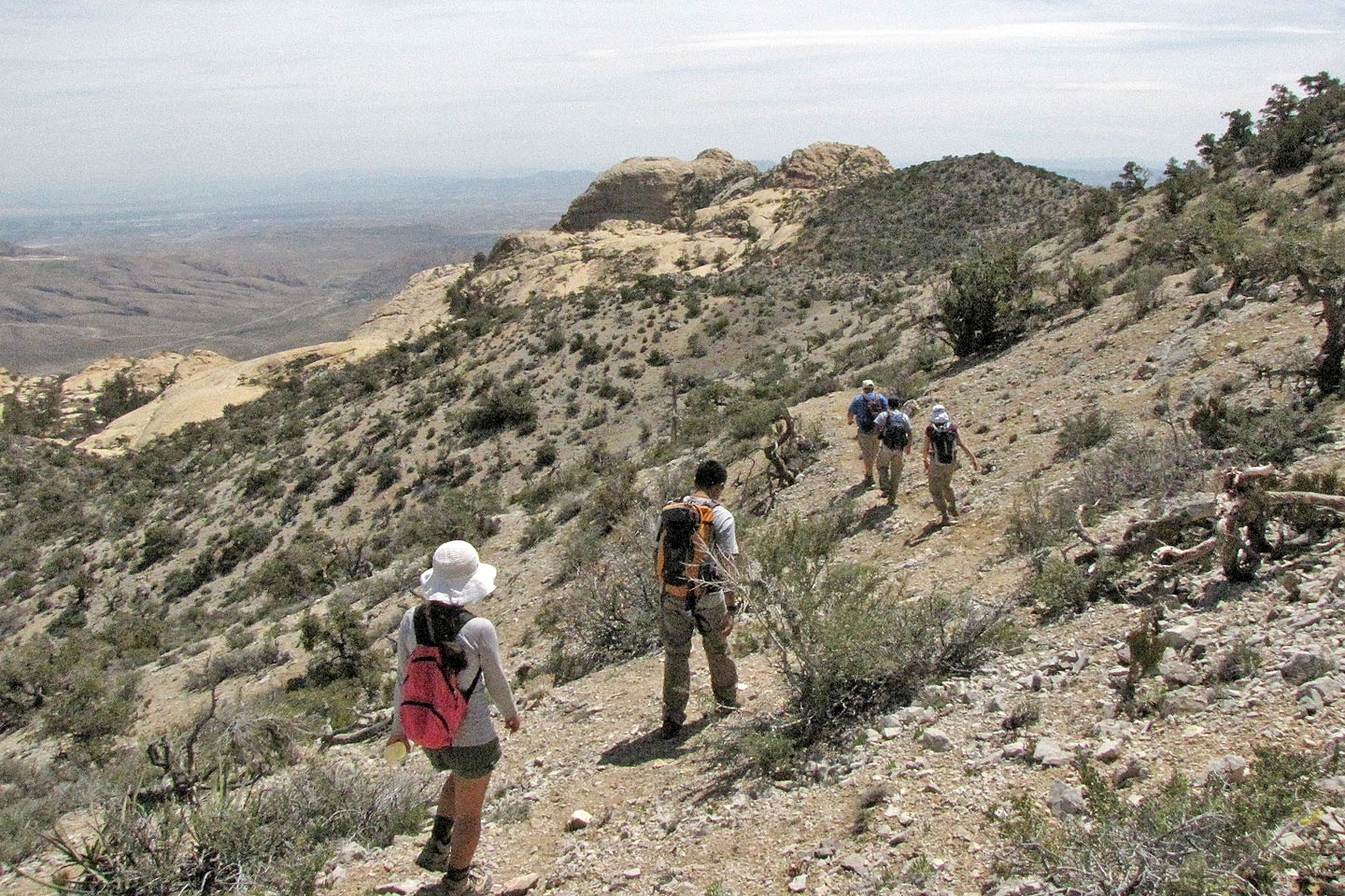
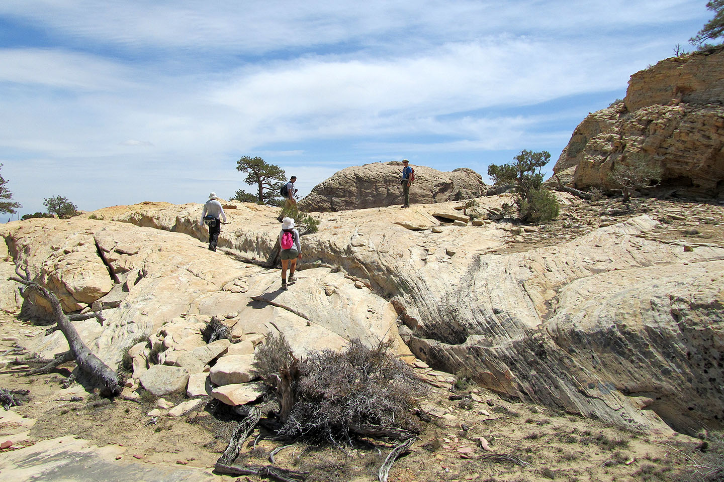
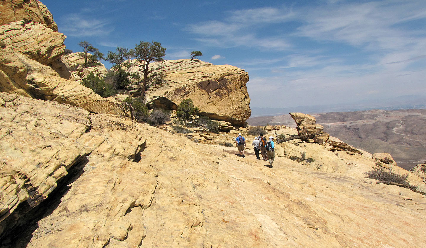
We head to the summit
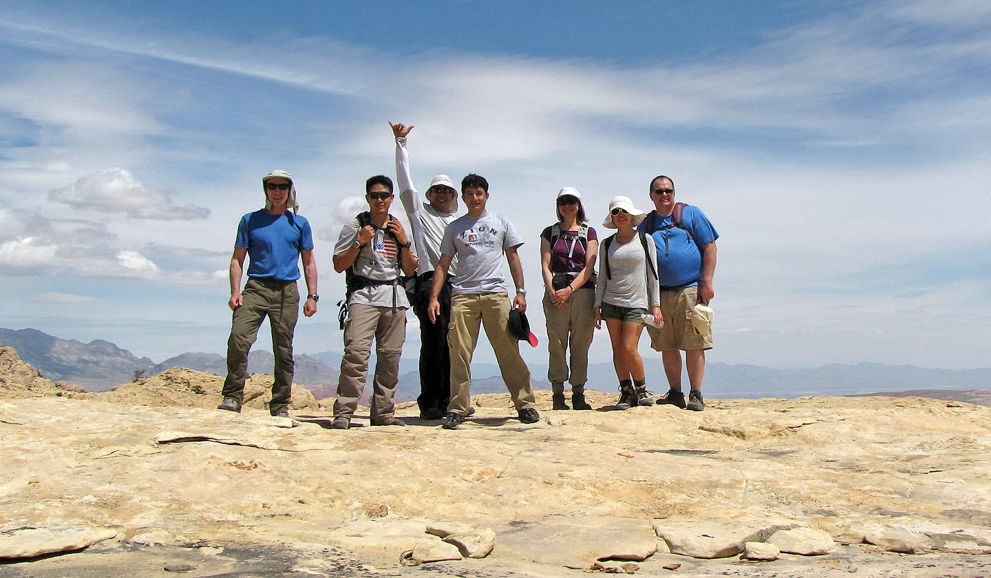
Along the way we stop for a group shot: me, Leon, Jesse, Nish, Dinah, Paige and Gary
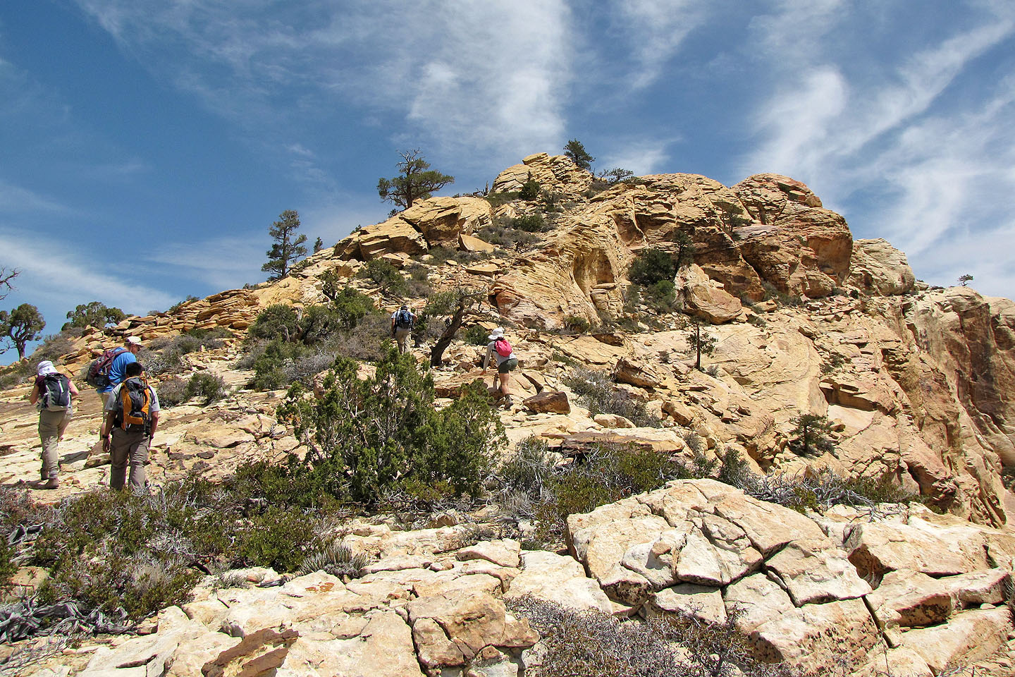
The summit appears ahead
Heading to the summit
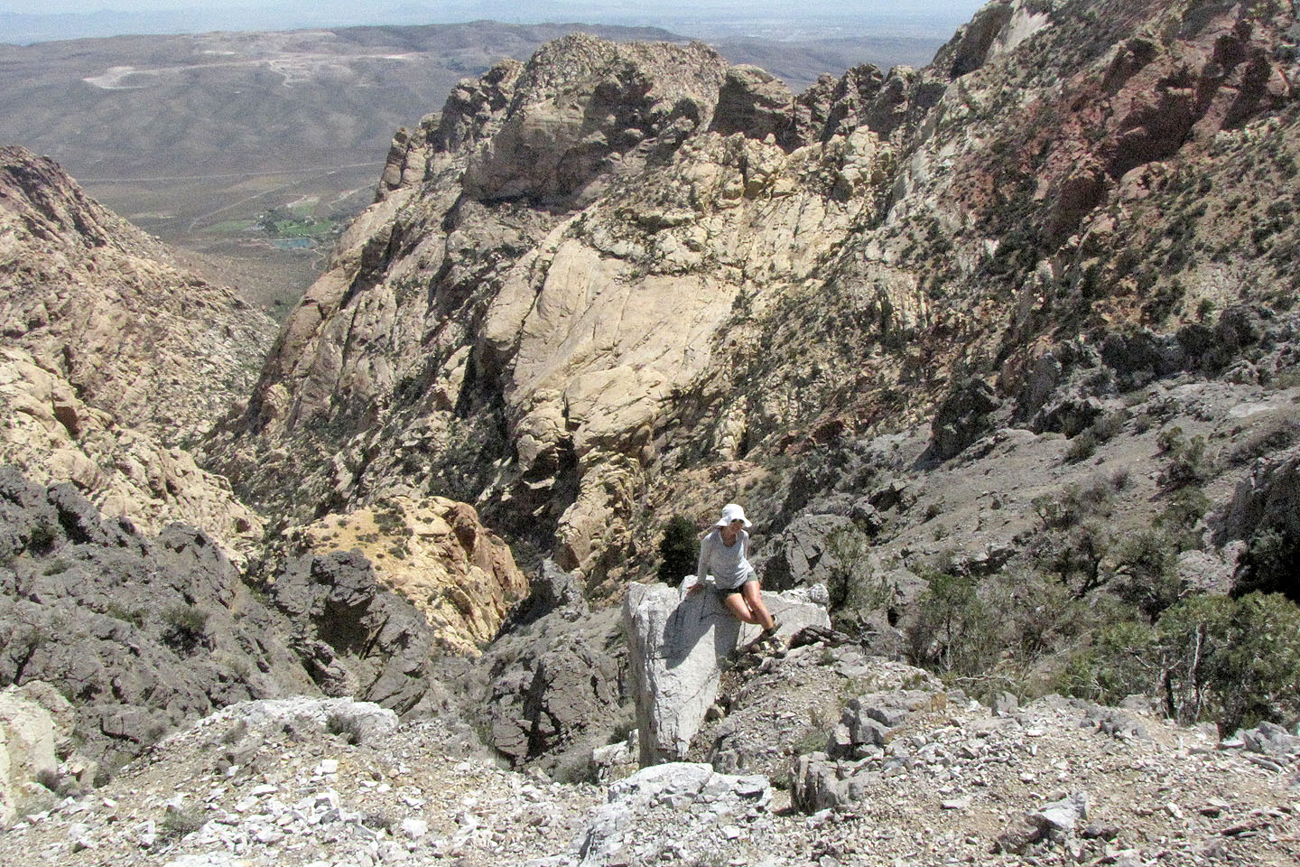
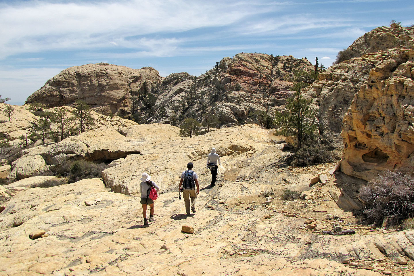
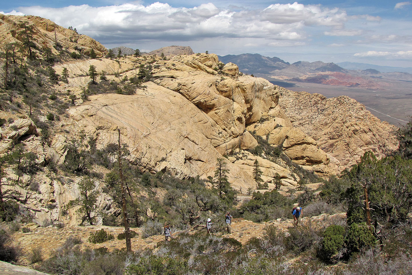
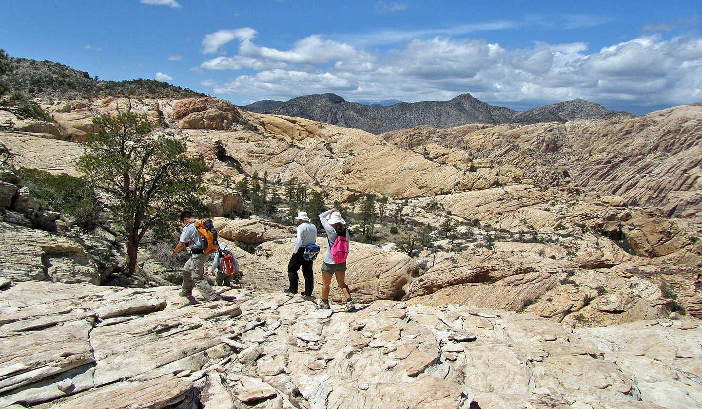
To reach the summit, we'll skirt the rim of a basin
Hiking along the rim
Looking back across the basin to the other side where we had been
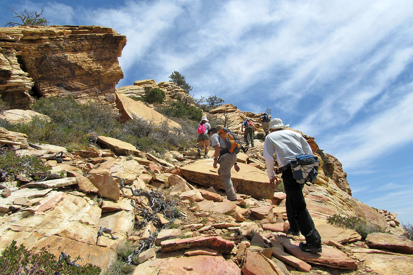
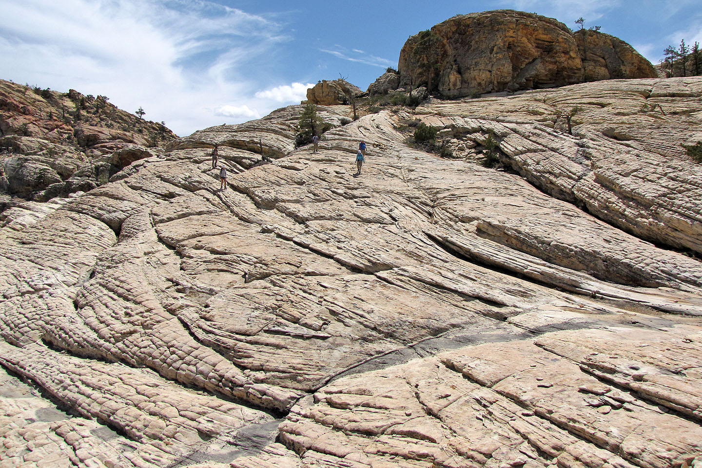
Final climb to the summit
The entire trip was little more than a hike
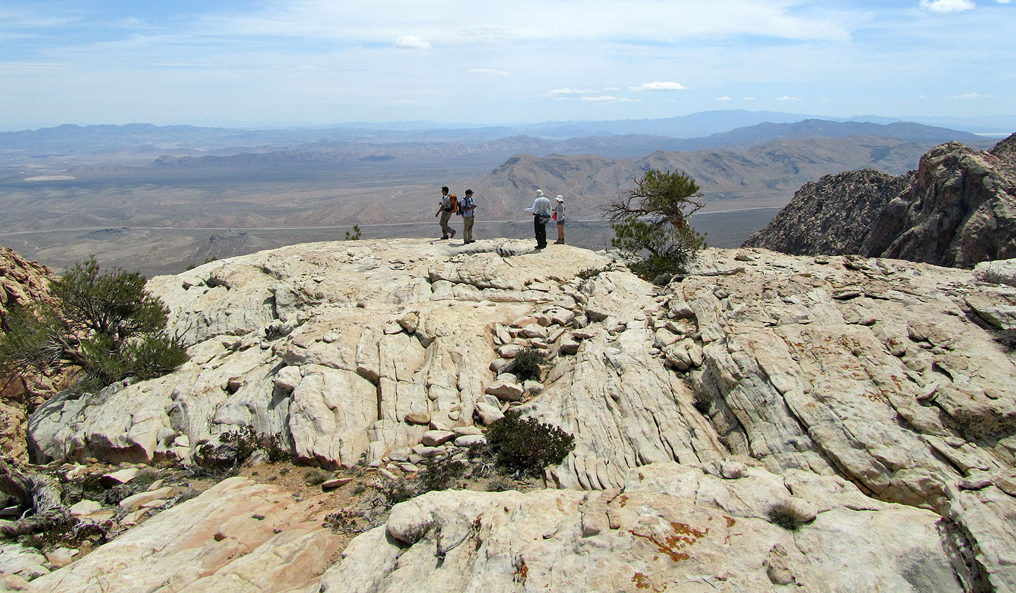
The group reaches the summit
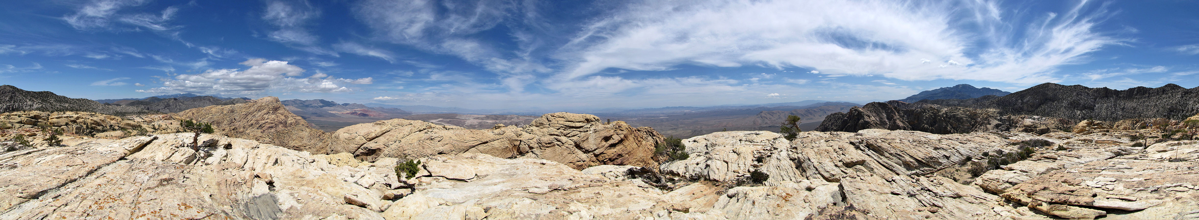
Looking north from the summit
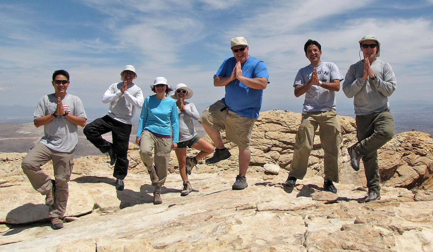
Posing on the summit
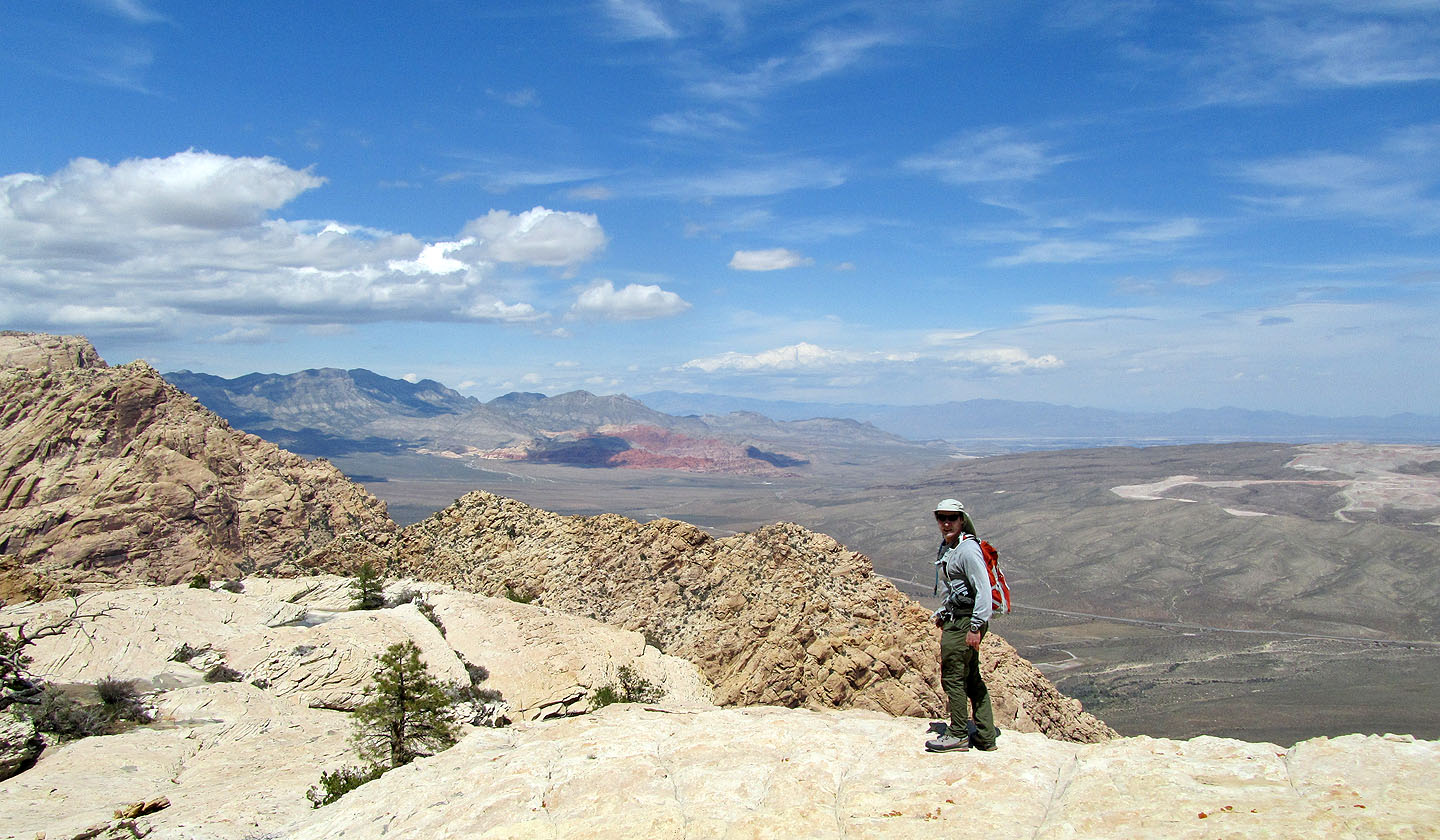
Potosi Mountain and Mountain Springs Peak
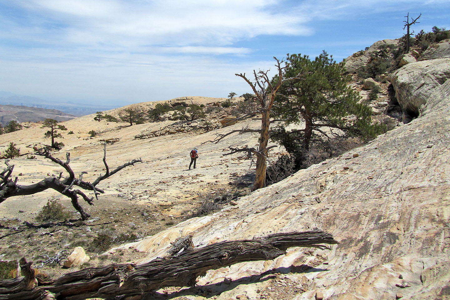
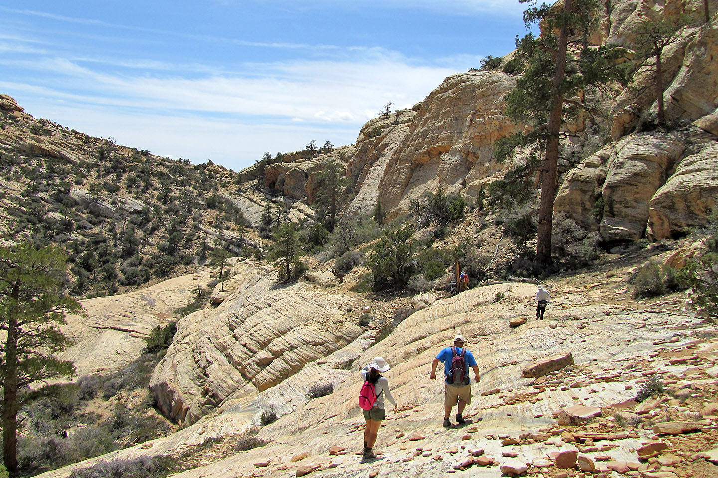
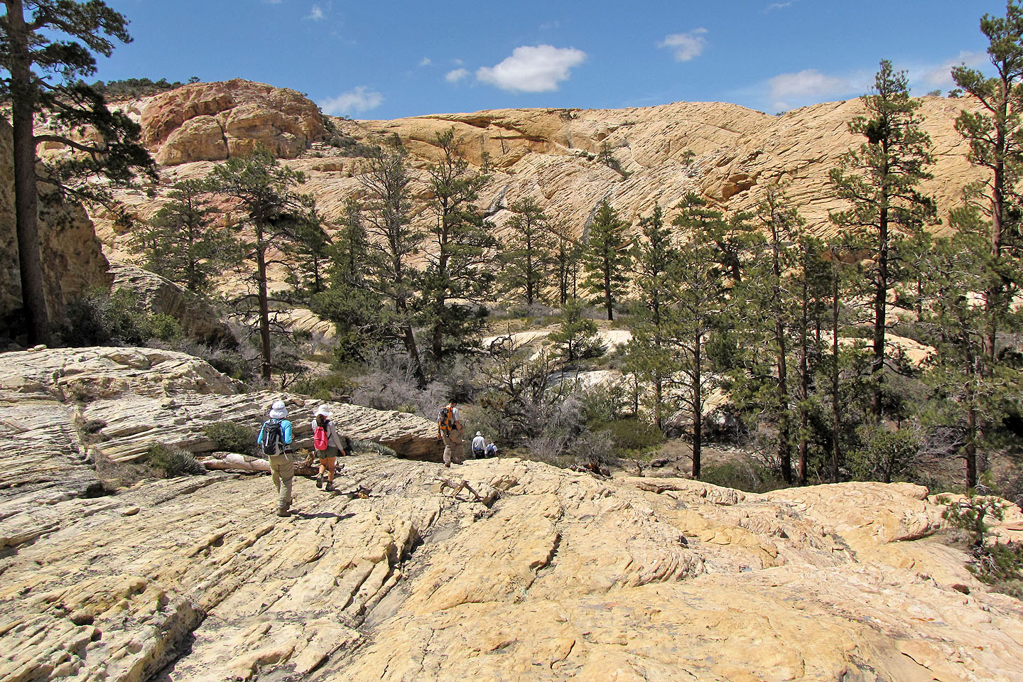
We set off for the hidden forest
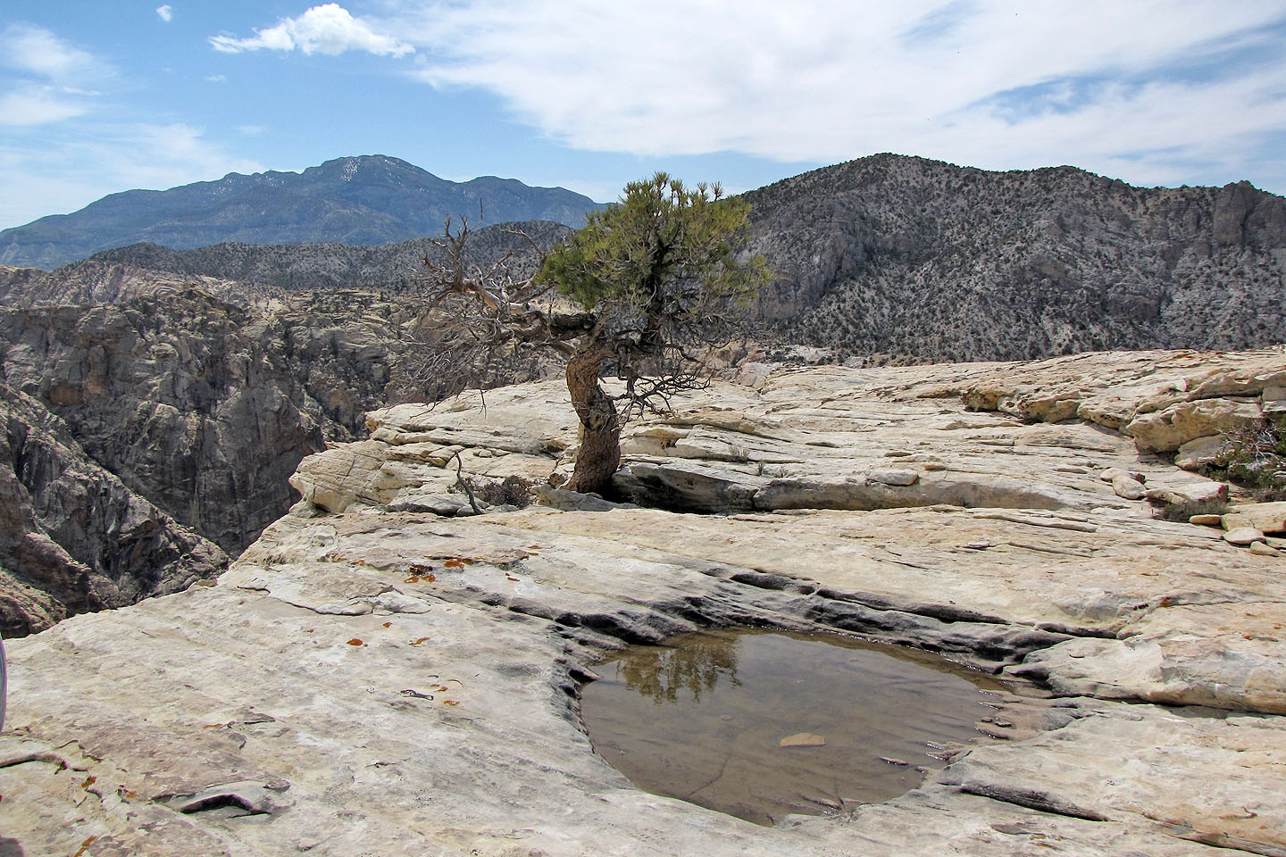
The forest lies in a depression 150 m below the summit of Hidden Peak
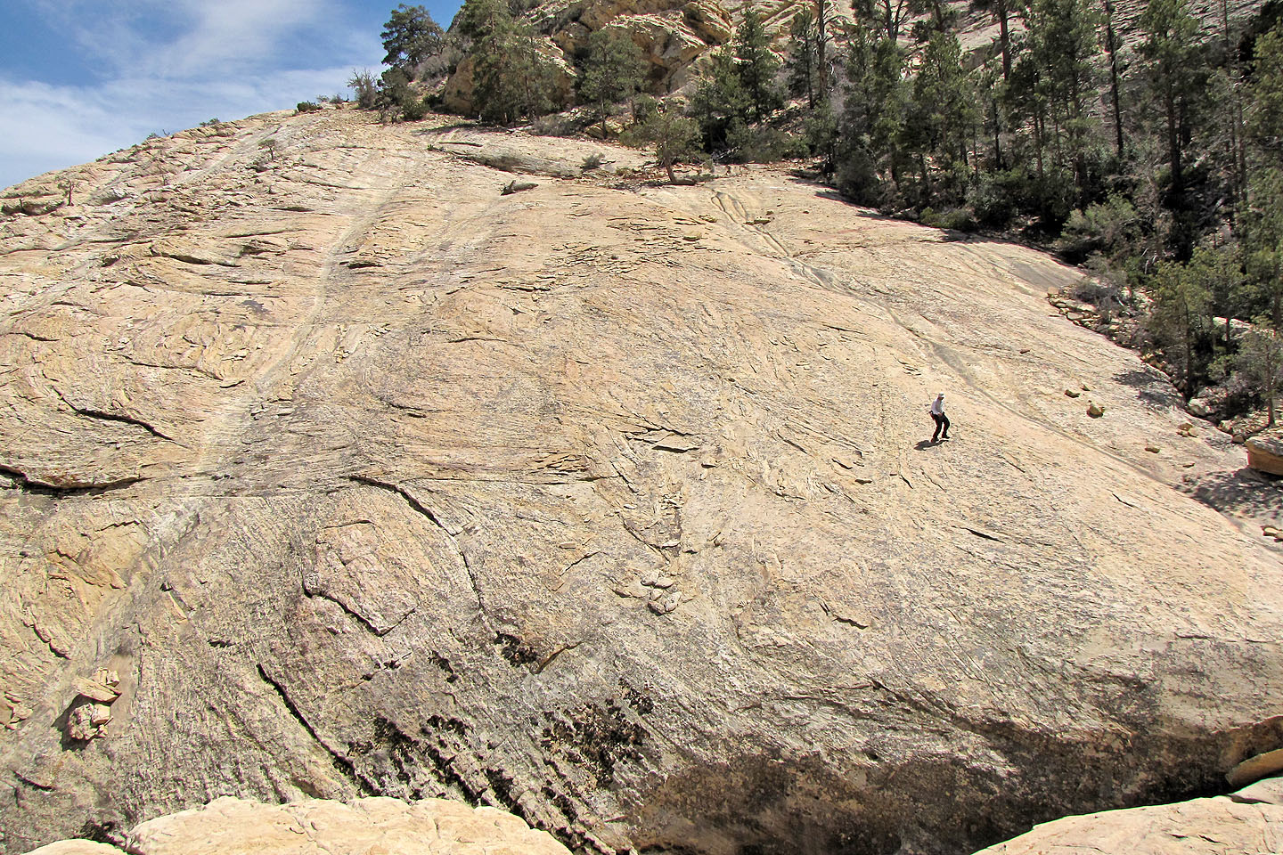
We crossed sweeping sandstone
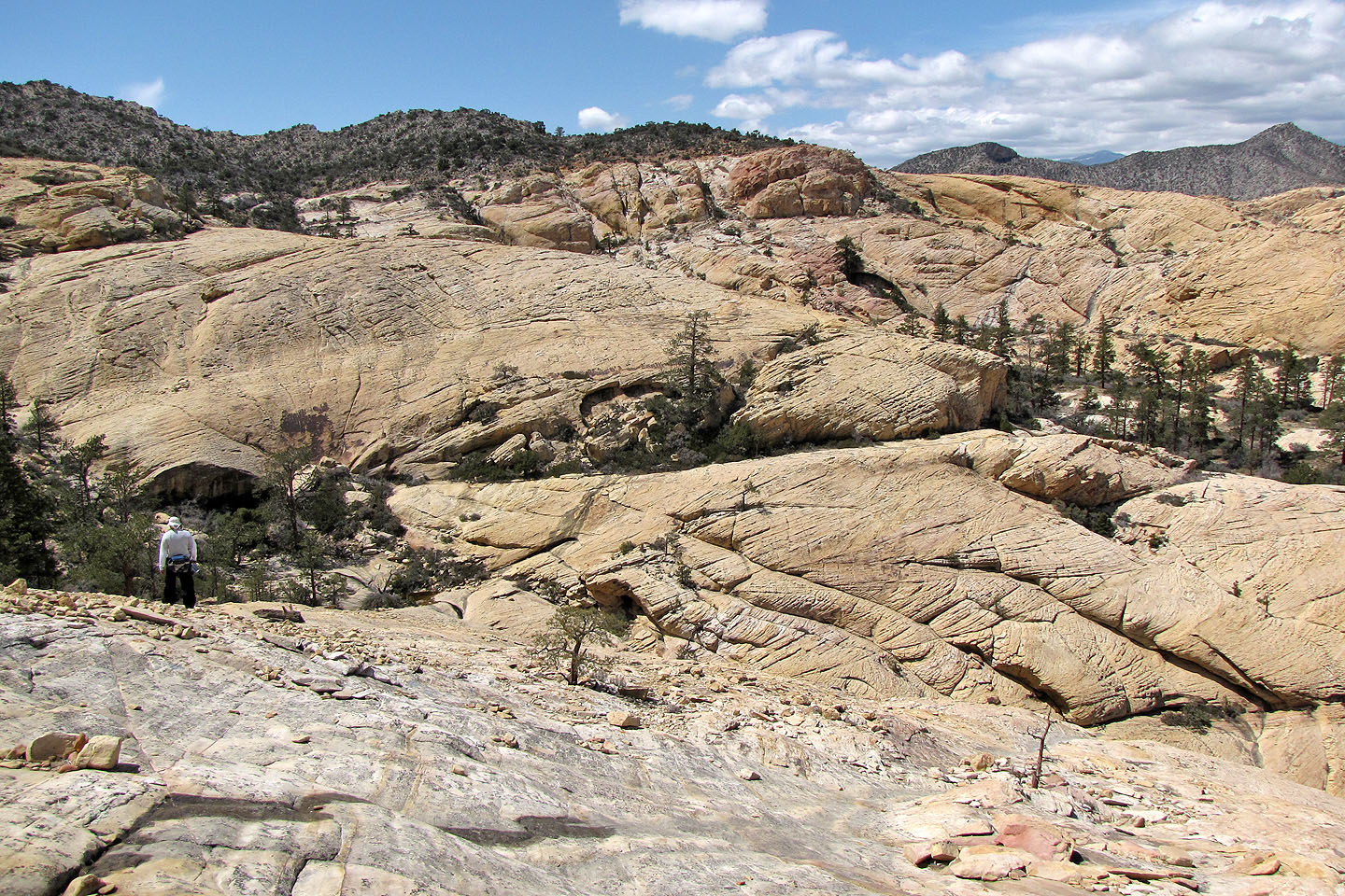
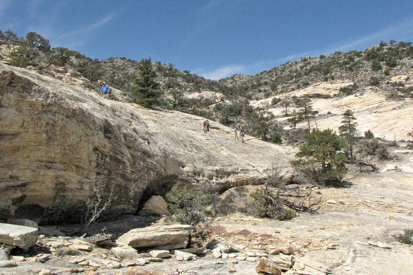
Coming to hidden forest
Looking back
The hidden forest ahead
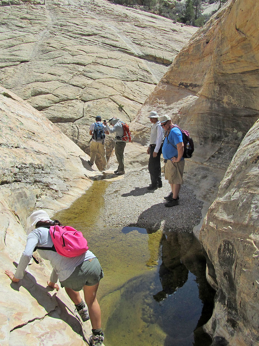
We peer down a notch to view tiered tanks (mouse over)
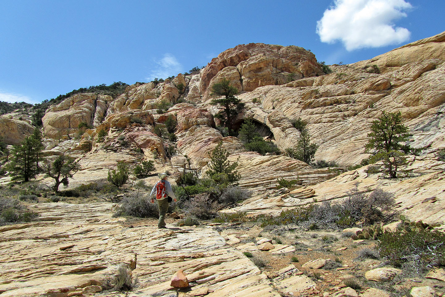
On our way to the blind arch ahead
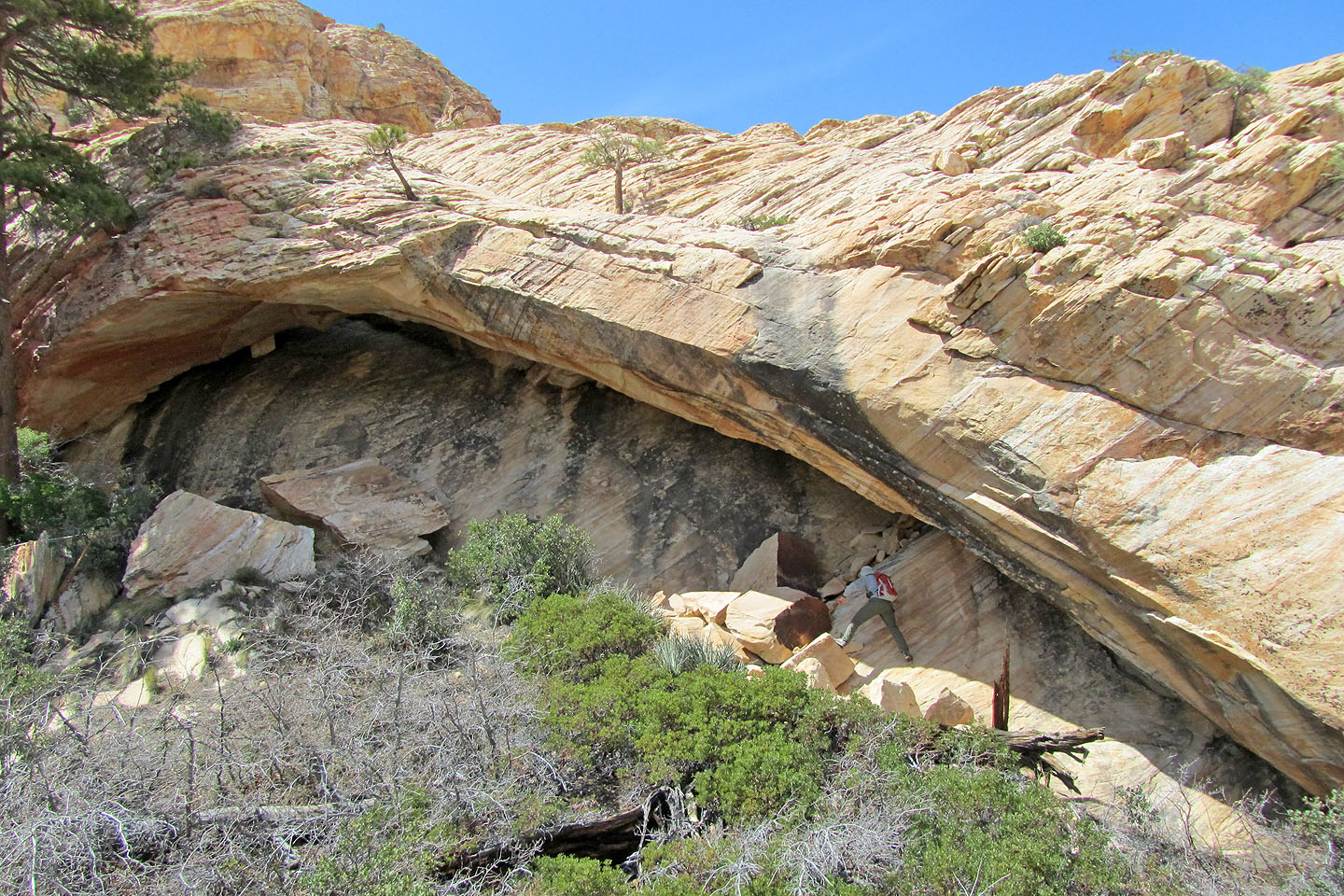
I clamber under the arch (mouse over for my view)
Hiking back along the wash
Blue Diamond and Mountain Springs (7.3 mi, 6286 ft, 774 ft)