bobspirko.ca | Home | Canada Trips | US Trips | Hiking | Snowshoeing | MAP | About

Potosi Mountain
Spring Mountains, Nevada
April 26, 2011
Distance: 9.4 km (5.8 mi)
Cumulative Elevation Gain: 964 m (3163 ft)
As a prominent peak southwest of Las Vegas, Potosi Mountain readily distinguishes itself from its smaller neighbours. It's not surprising, therefore, that it caught my eye, and I was prompted to research a route. I found two popular ways to achieve the summit. Like Sonny Bou, you can reach its summit by hiking up a service road, or you can routefind your way along the east ridge. Dinah and I chose the latter; it could only be more interesting than hiking up a road.
Starting from Potosi Springs, we followed a road to an old mine. At the mine we found a trail that led to the ridge above it, a ridge that leads to the top of Potosi. We hiked along intermittent faint trails, followed ridge crests and downclimbed a couple of chutes, but we spent much of the time blindly hiking through forested or bushy slopes with a vague idea that we were headed in the right direction. But when we could see them, the three antennas on Potosi's summit acted as a guidepost.
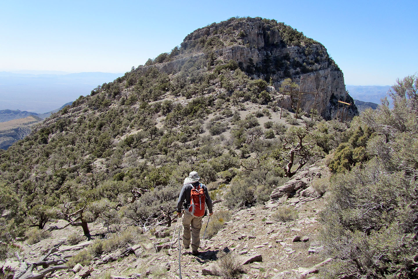
It took us four hours to reach the summit. Unfortunately, the summit is an eyesore, bearing huge towers secured by thick cables. We didn't stay there long and instead preferred to relax on the nearby north summit, devoid of any human contraptions and providing a measure of solitude as well as incredible views of Red Rock Canyon. Although much of the ascent of Potosi Mountain was unremarkable and forgettable, we'll remember the far-ranging views from its summit.
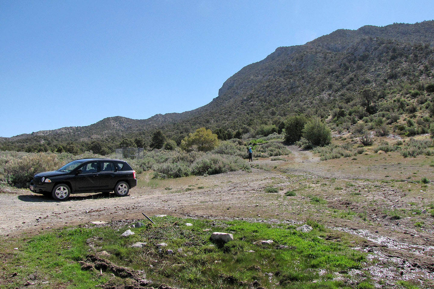
Potosi Springs trailhead. We'll gain the ridge on our right.
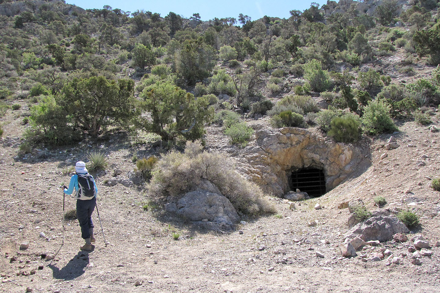
Potosi Mine
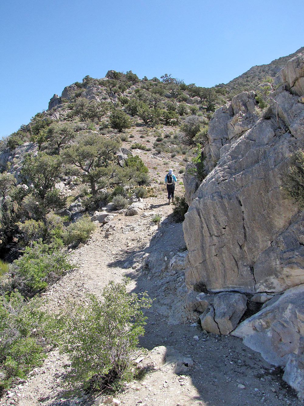
On the ridge. On my right is the mine's ventilation shaft (mouse over).
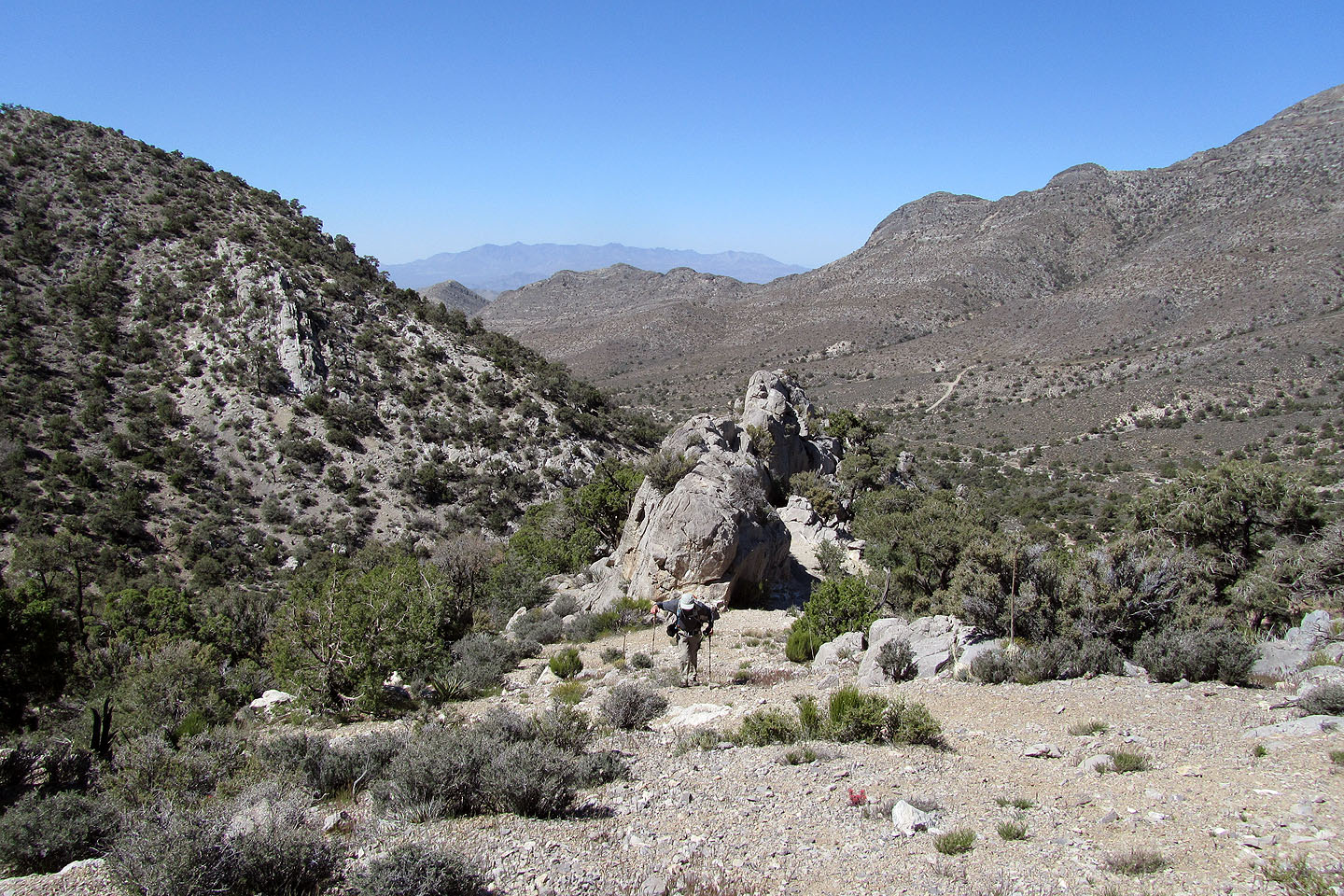
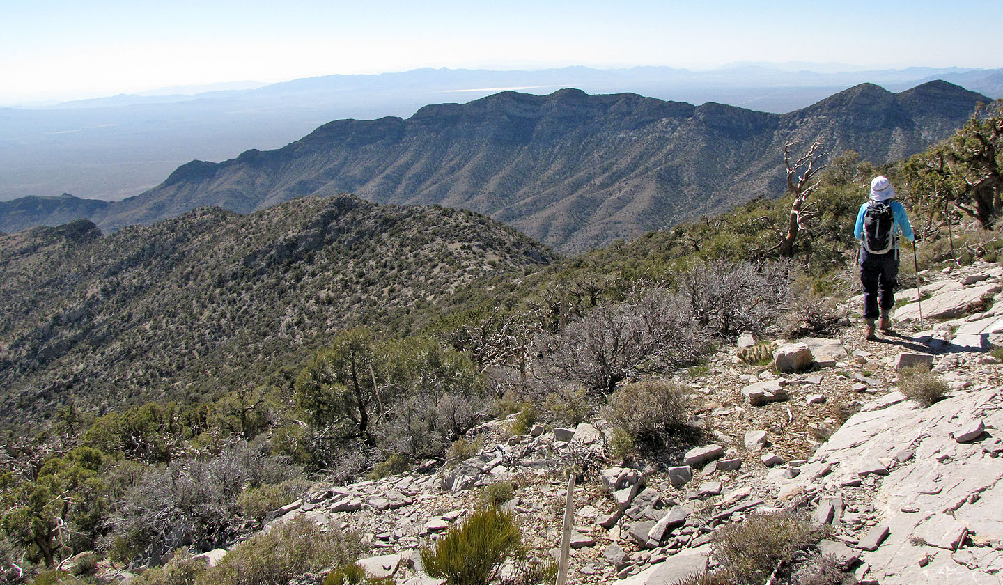
Looking back at the ridge we just gained
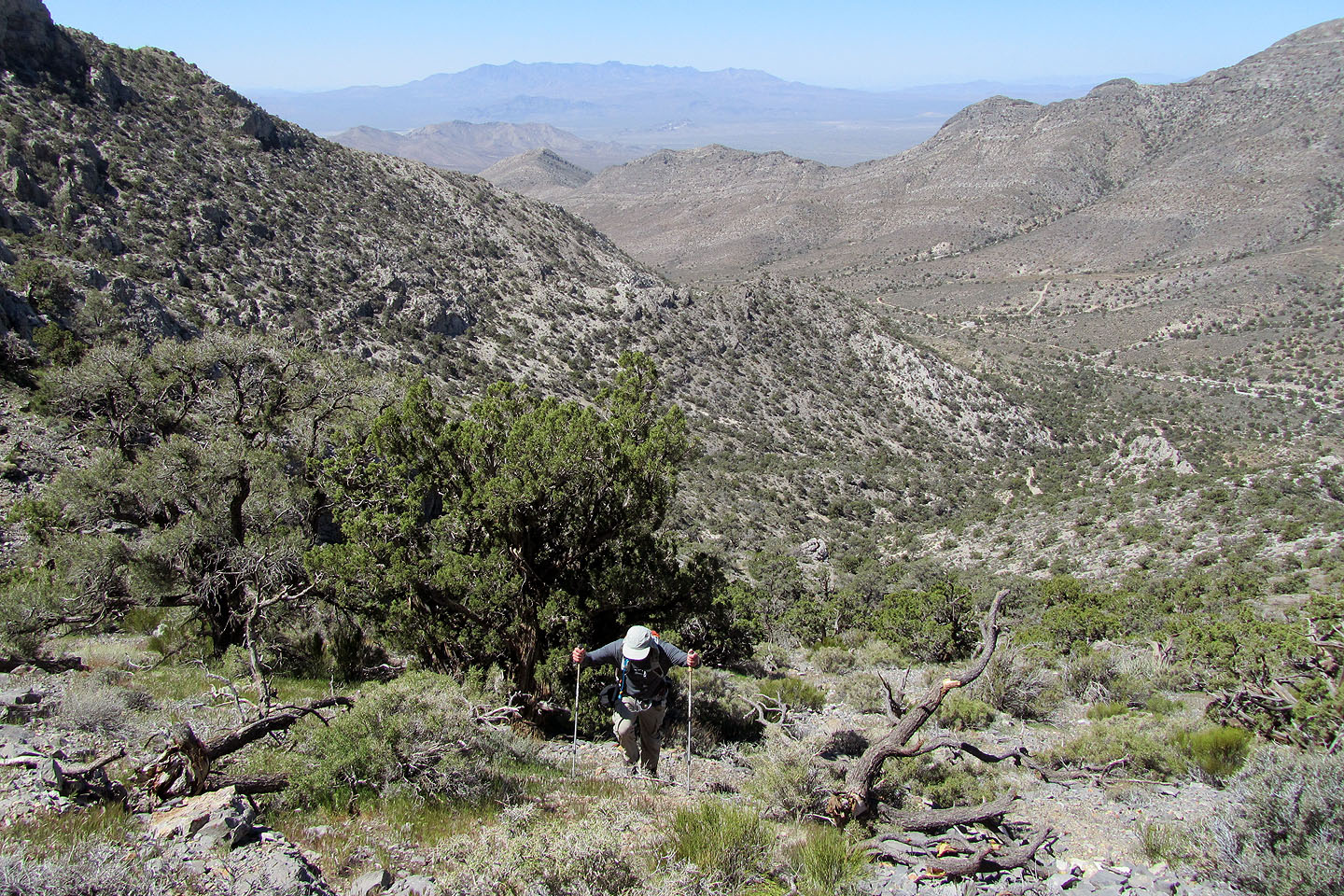
The ridge transforms into a broad slope
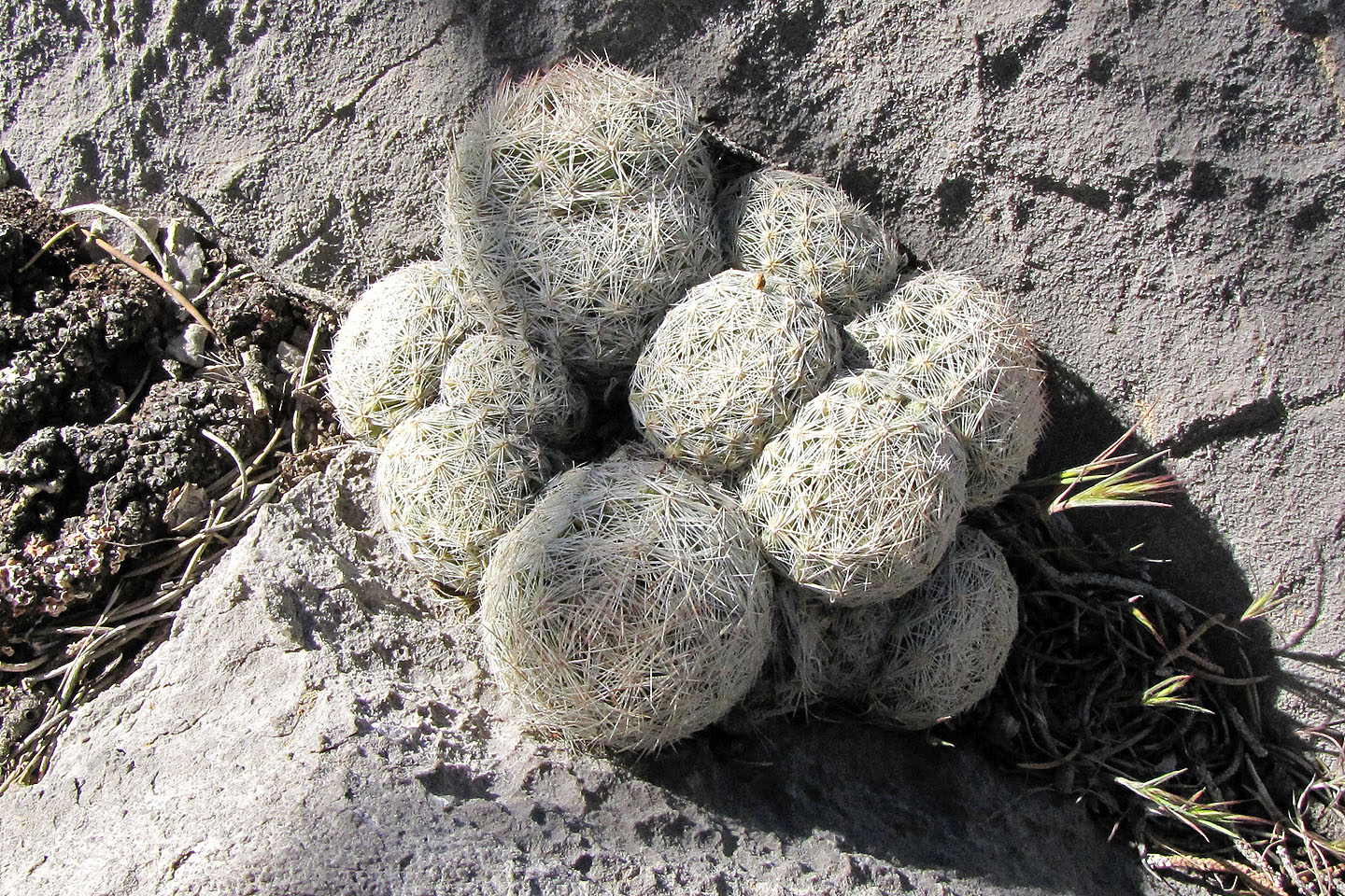
Pincushion cactus
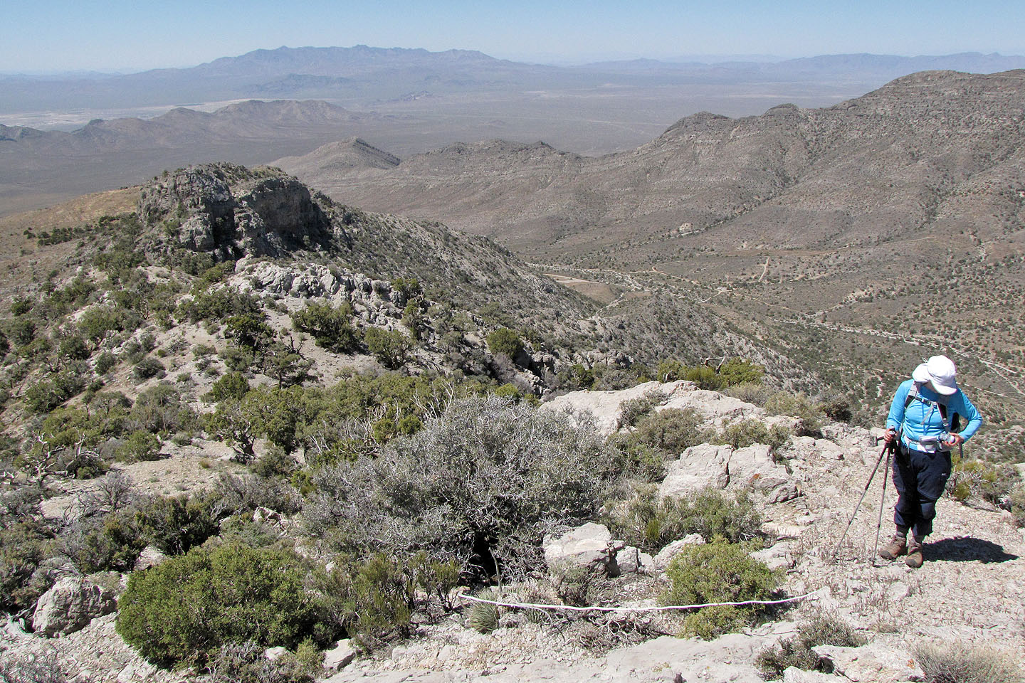
We made it to the main ridge
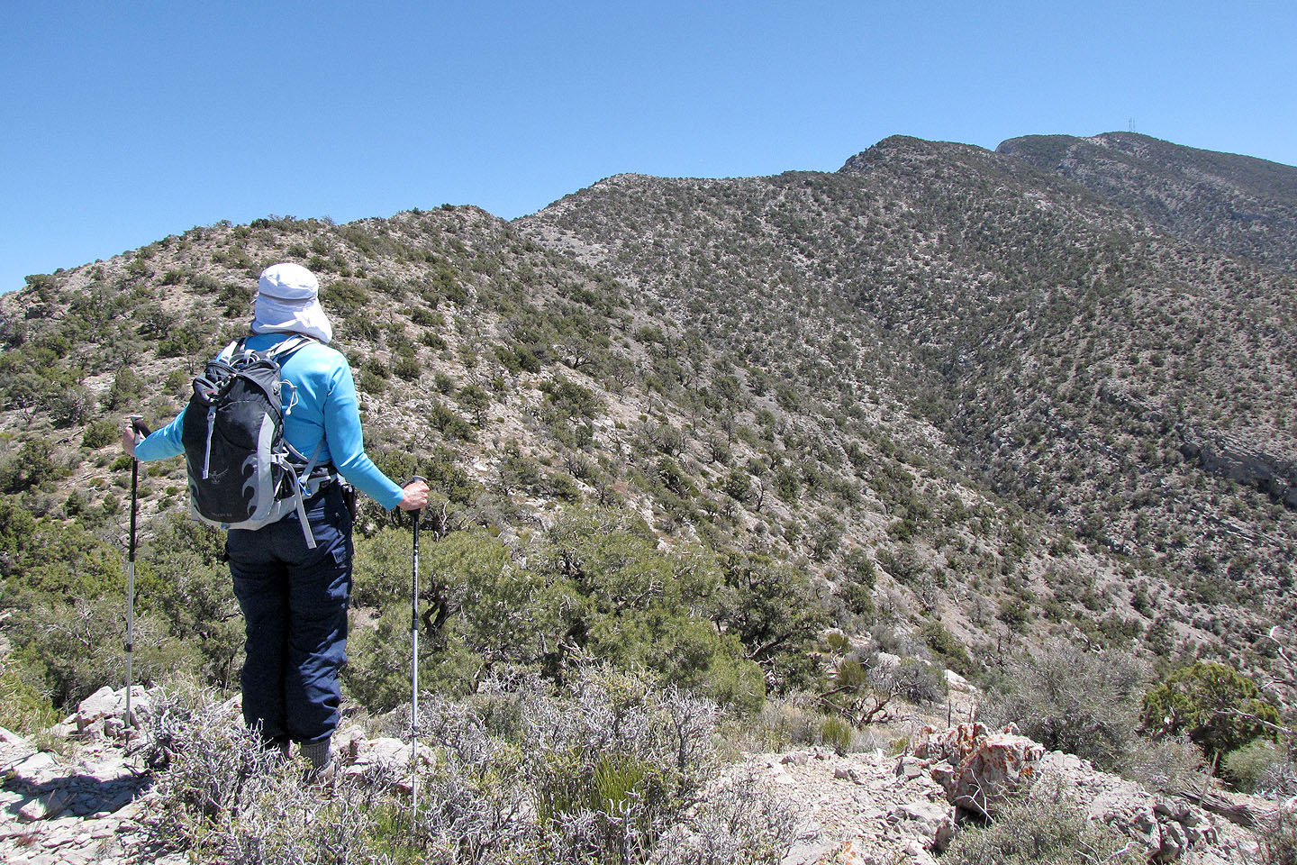
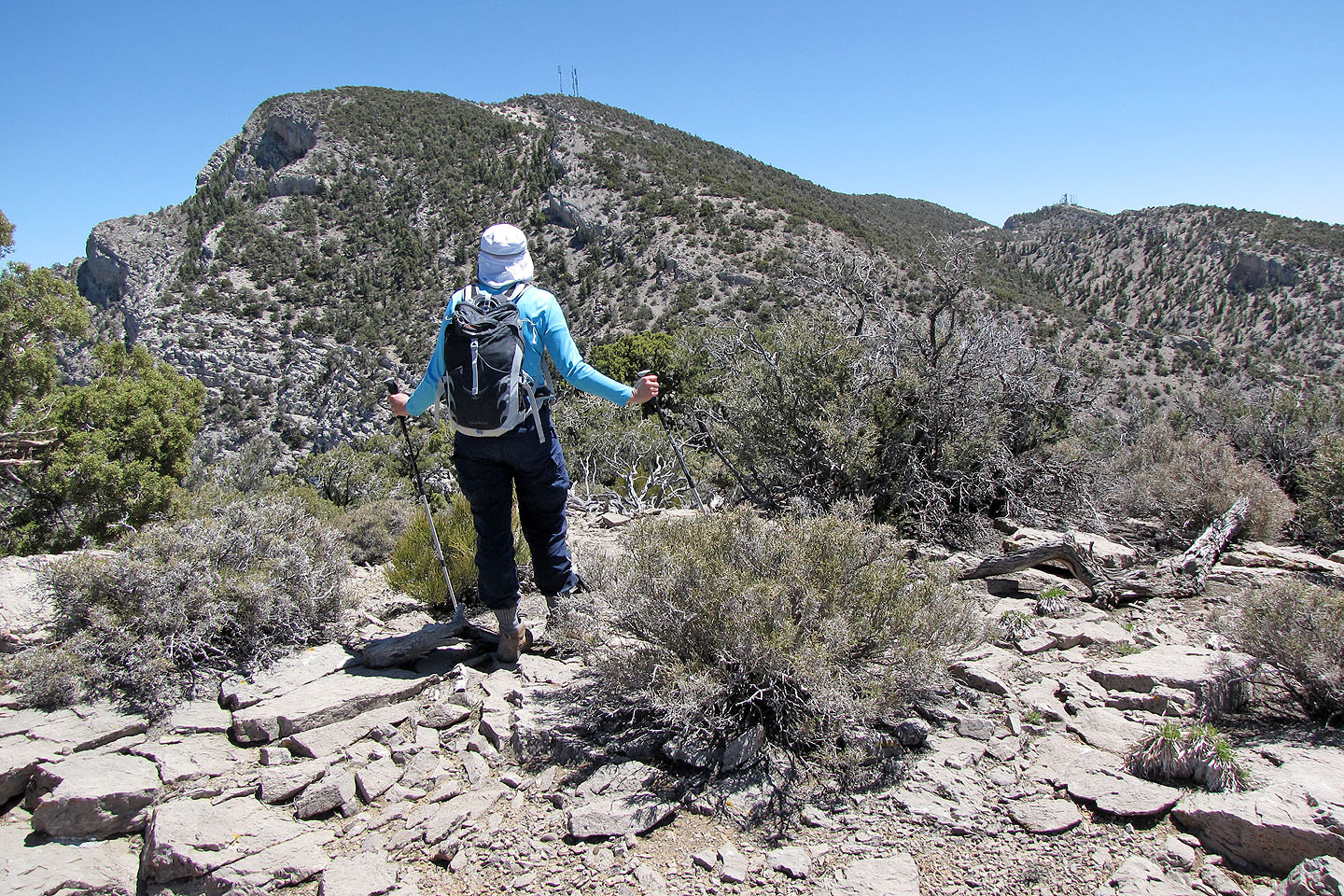
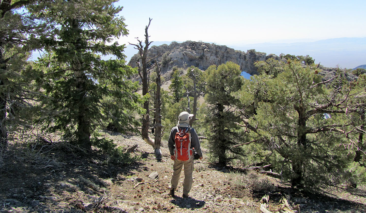
We got our first view of the summit antennas (mouse over for a close-up)
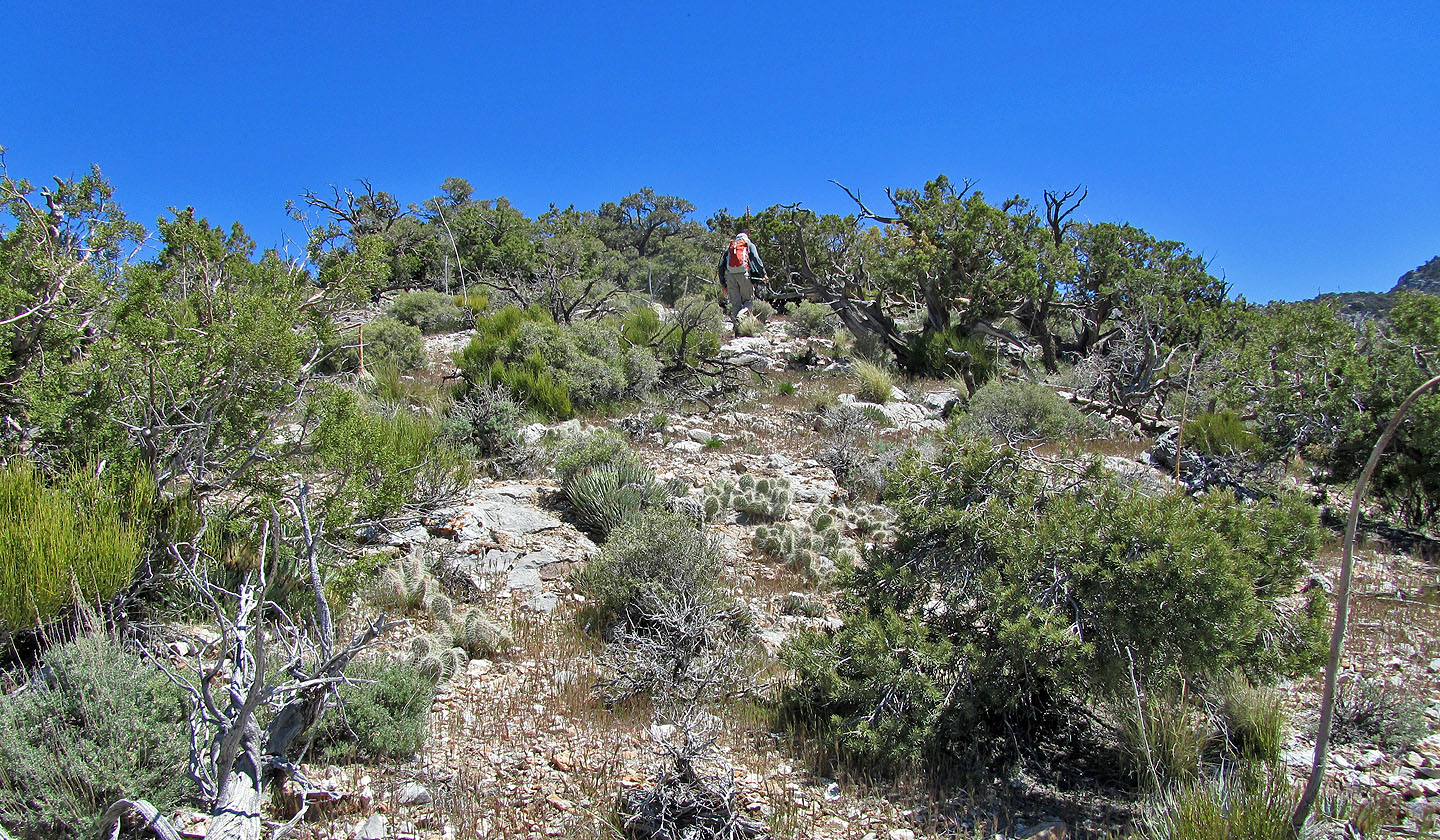
Vegetation often blocks our views
The summit is a bit closer
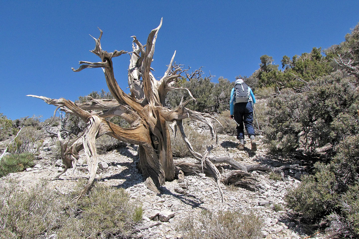
Dinah passes a dead cedar tree
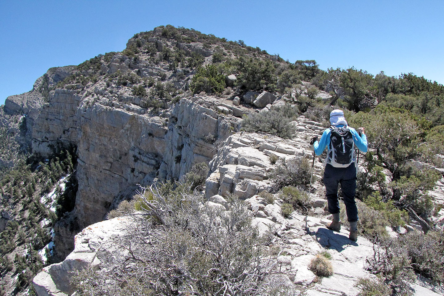
Snow still remained in the shadows of the cliffs
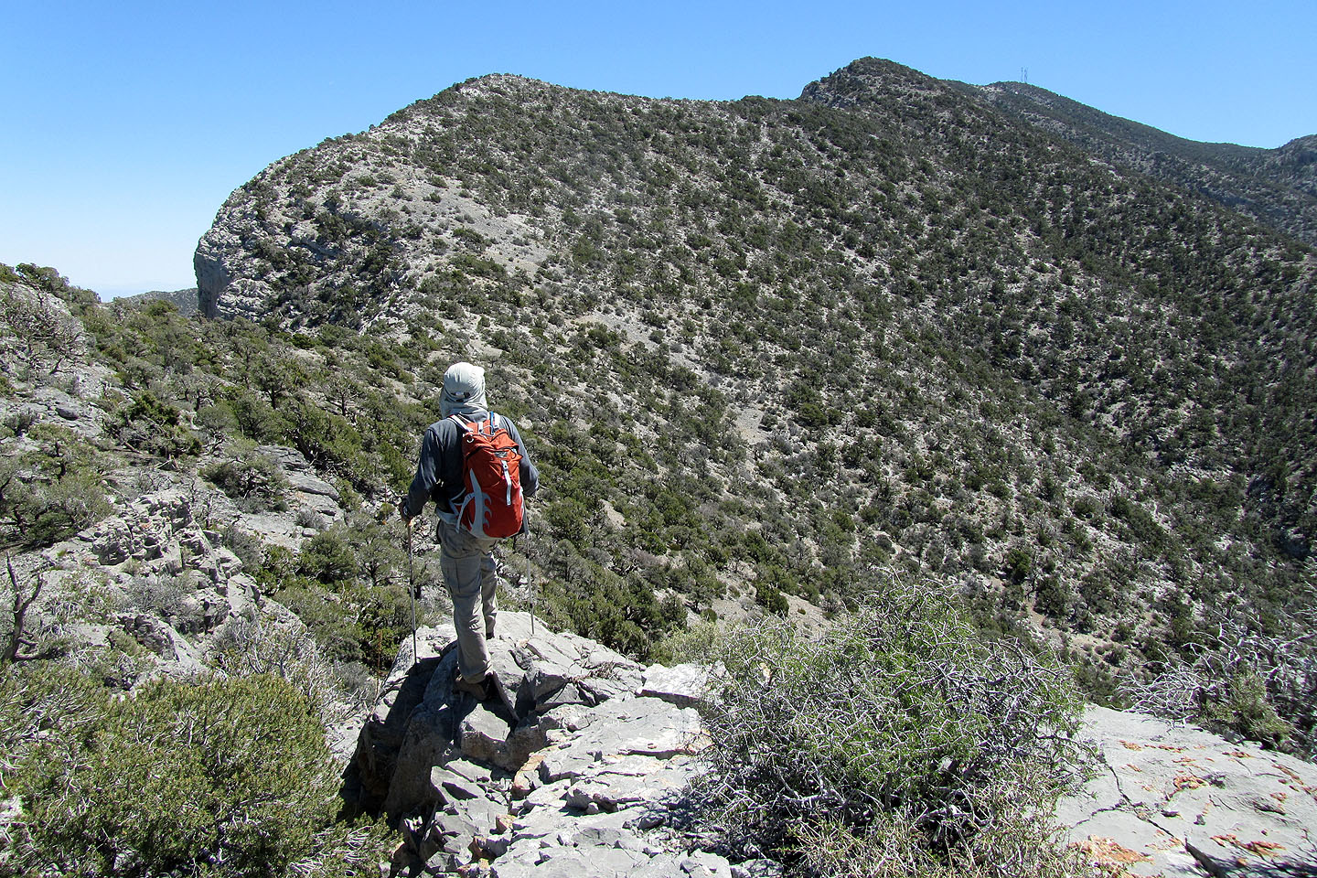
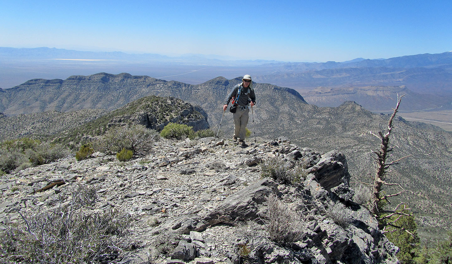
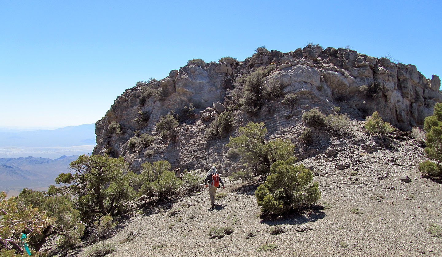
The high point before we dropped 50 m to a saddle below
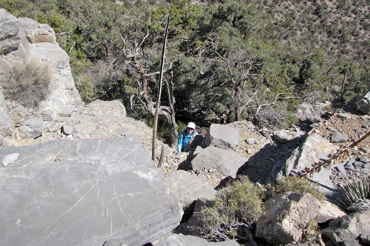
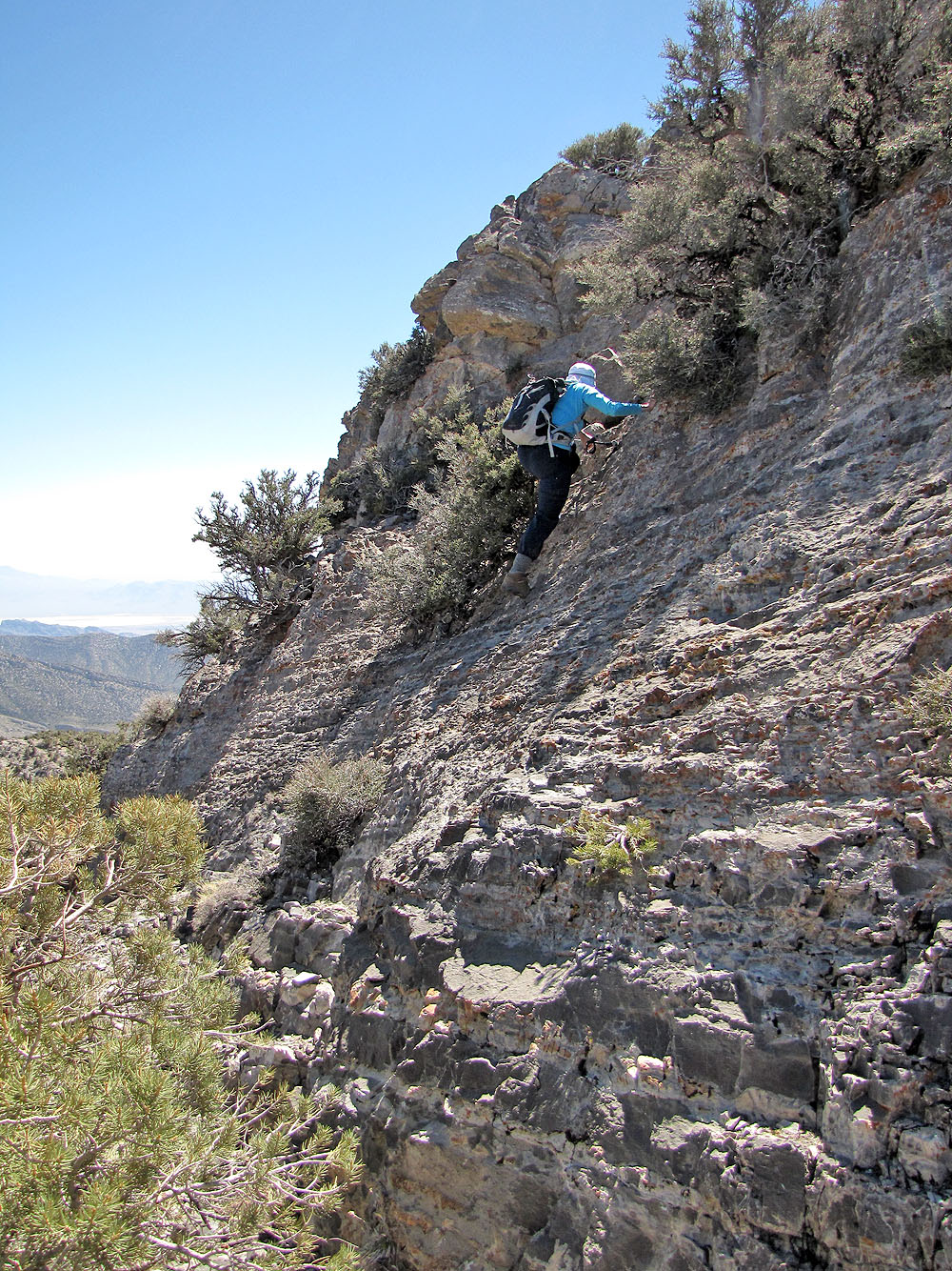
Dinah on the downclimb above the saddle
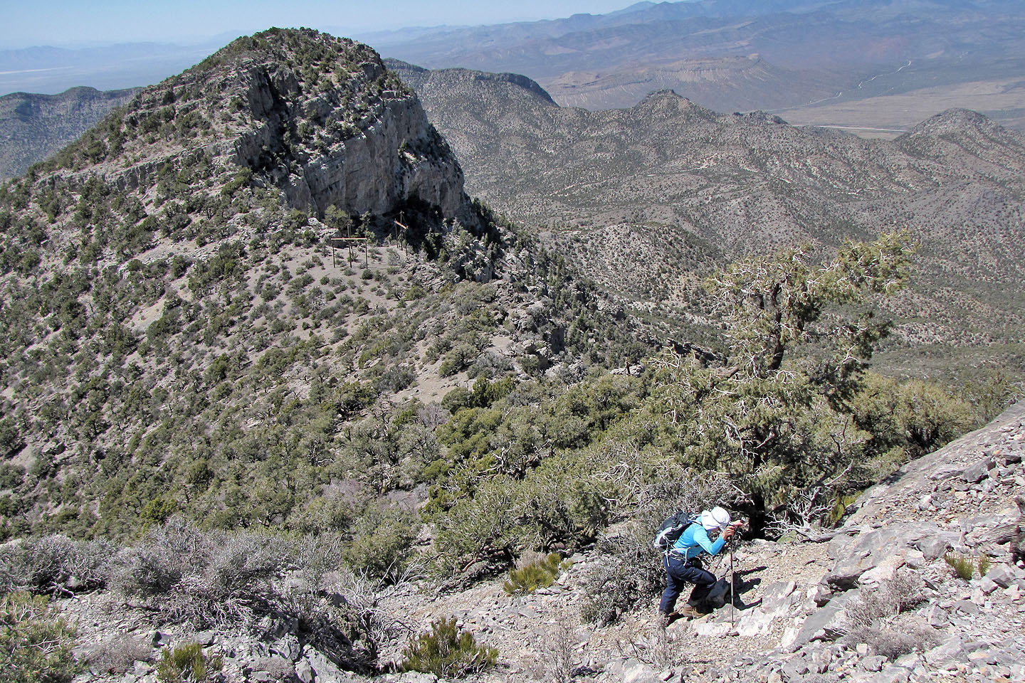
After dropping down to the saddle, we slogged up the other side
At the next cliff band, I looked for the easiest way down
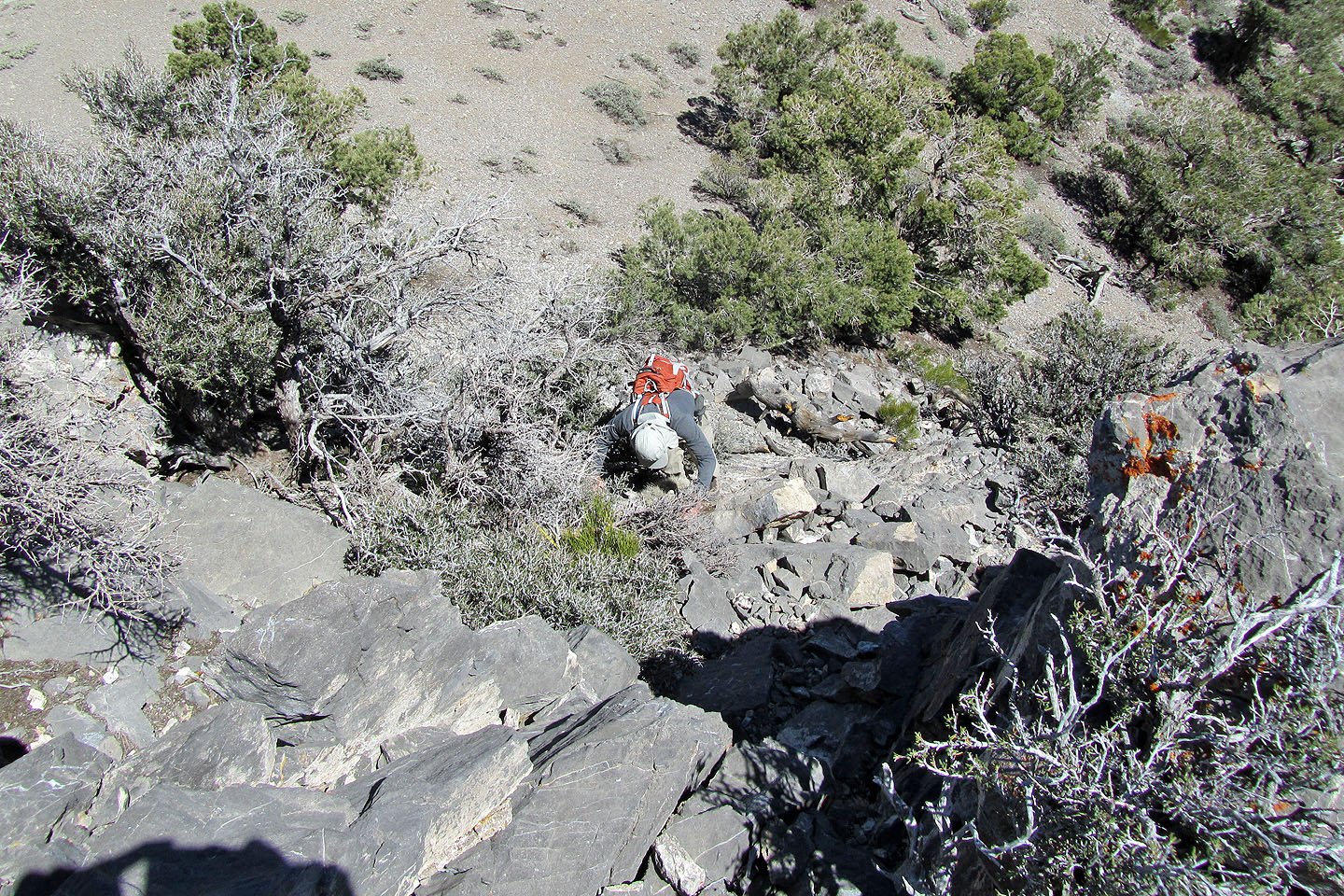
The second downclimb
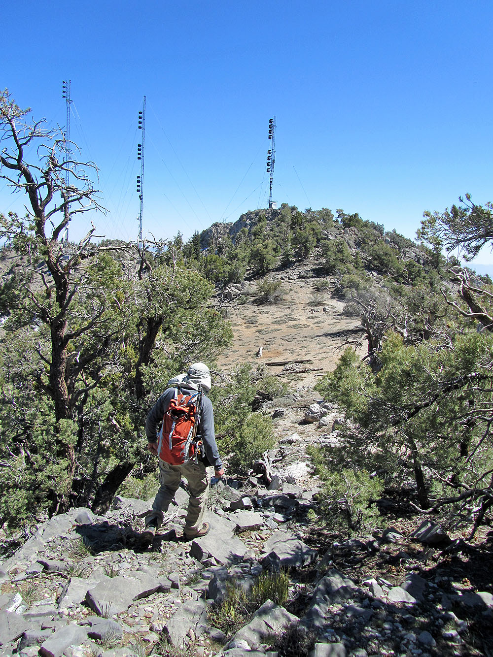
The summit is a couple of minutes away
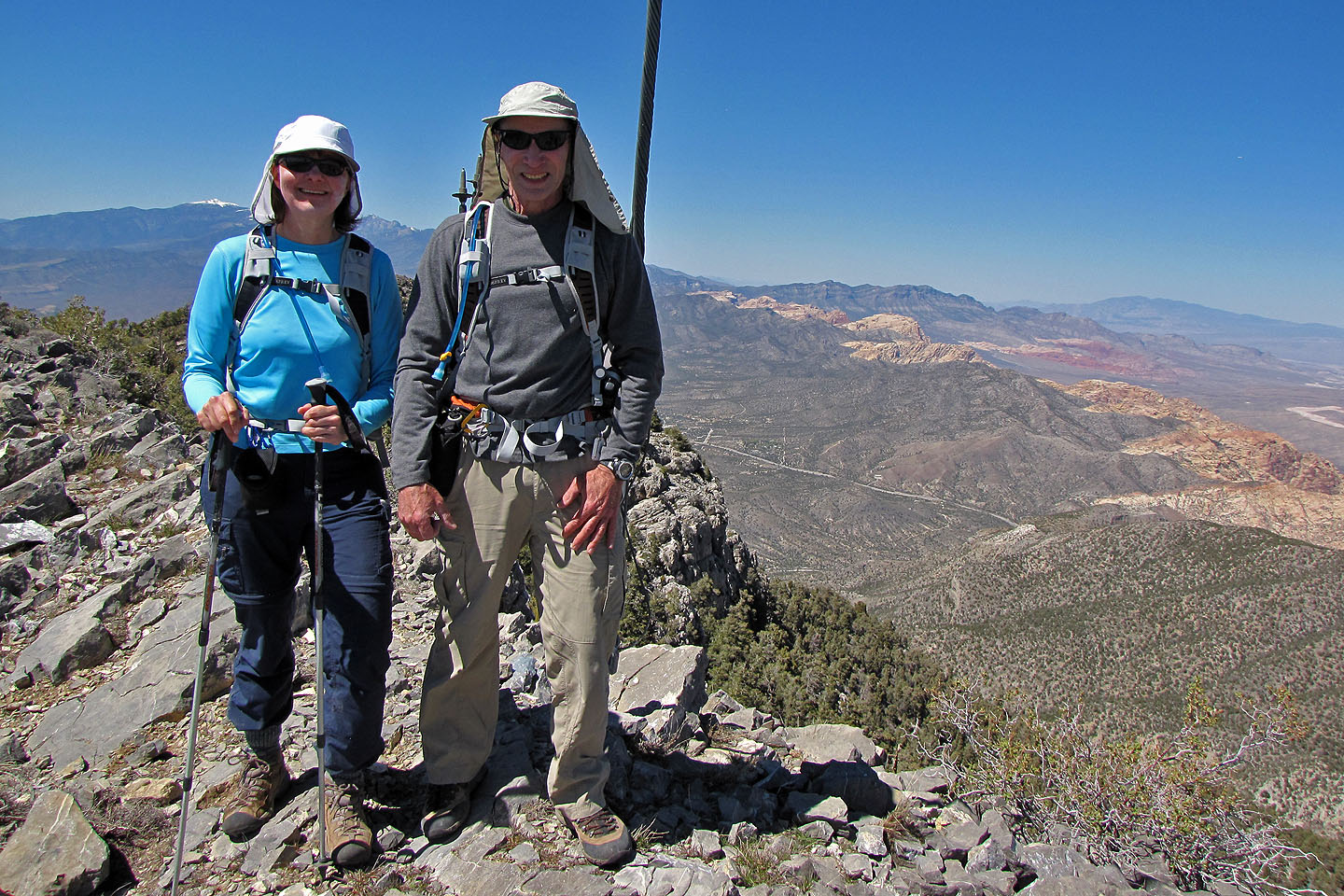
On the summit
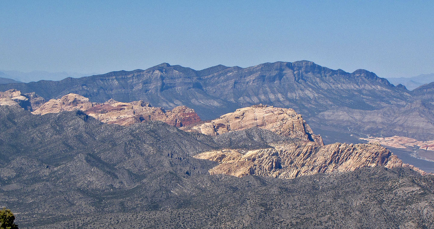
Bridge Mountain, Rainbow Peak, Mount Wilson, La Madre Mountain and Indecision Peak (mouse over for indicators)
Heading back down
We're back at the second chute
Dinah scrambles up first
Heading to the saddle
We followed the ridge back
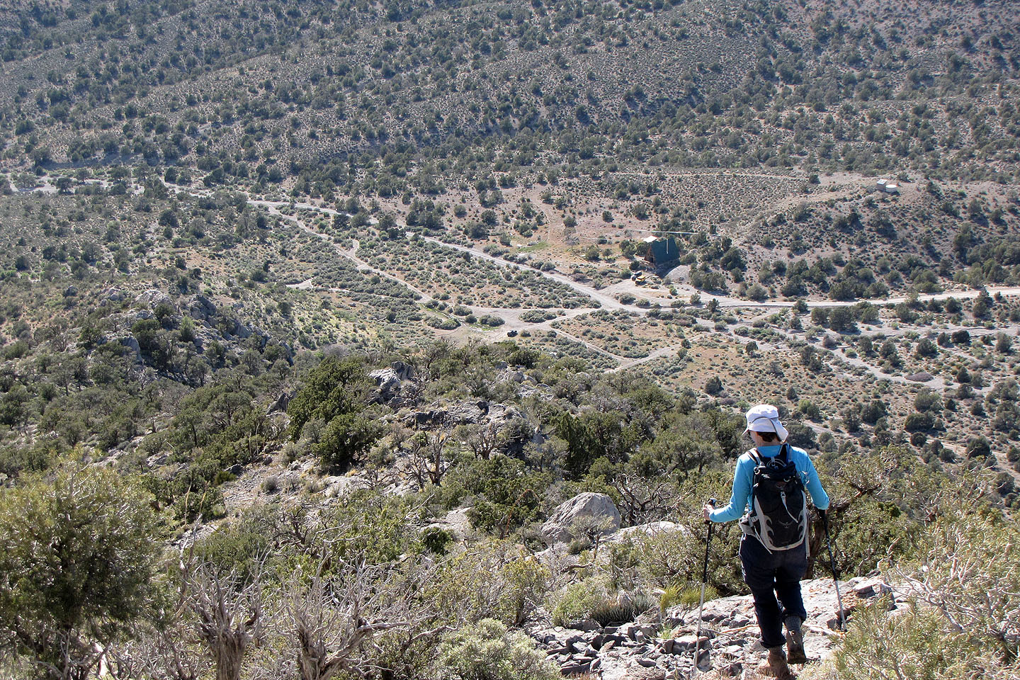
Our car is below, in the centre
 Potosi (5.8 mi, 8507 ft, 2812 ft)