bobspirko.ca | Home | Canada Trips | US Trips | Hiking | Snowshoeing | MAP | About
Gold Hill
Sandpoint, Idaho
July 30, 2019
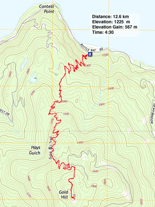
Distance: 12.6 km (7.8 mi)
Cumulative Elevation Gain: 574 m (1883 ft)
Just 15 minutes from Sandpoint, Gold Hill is a popular hike with the locals although most anyone is likely to enjoy it. Gentle switchbacks ease the way up to a viewpoint that overlooks Lake Pend Orielle. But this is where most people turn around. In fact, I could find no information on climbing higher, to the summit. Getting to the top of Gold Hill would turn our hike into a little adventure.
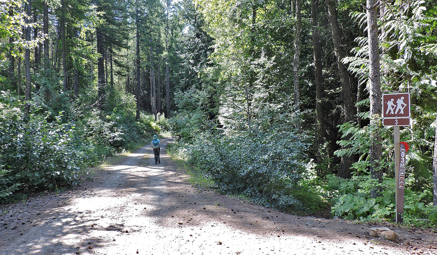
The trailhead on Bottle Bay Road has room for several cars, and one was already parked there, belonging to a local resident it turns out. After parking, Dinah and I started up the trail which begins with short switchbacks. It was shaping up to be a hot, summer day so we appreciated hiking in the cool, dark forest.
After hiking 4.5 km up the trail, we came to the viewpoint. We paused to take in the impressive lake before continuing to the summit. We didn't know what to expect other than that we had to climb another 160 m. At least the next section was obvious: we continued to the end of the trail where it meets a road. We turned right and started up the road, wondering what to do next. Since the road was going generally east (taking into account switchbacks) we knew we had to leave it and head south toward the summit. Sure enough, we noticed a use trail that climbs the road bank on our right.
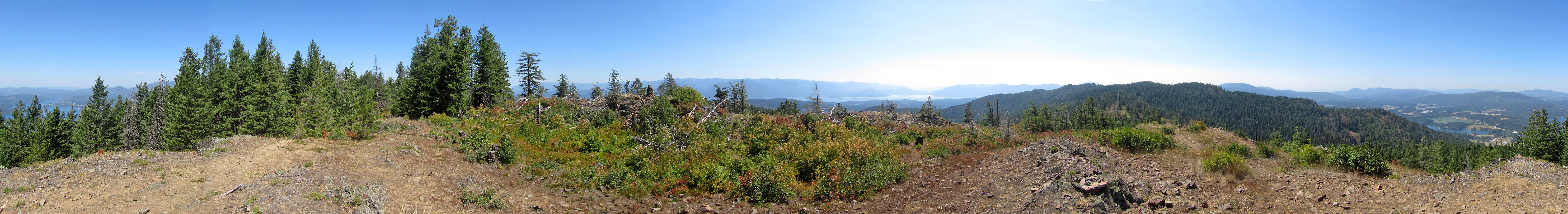
We followed the trail as it wound through the forest and then unexpectedly intersects a bike trail: only mountain bikes could have pulverized this path to leave deep powder in their wake. We followed the path until we emerged from the trees onto a scrubby, little summit. Actually, it comprised two little humps. The humps appear equally high, but one held a prominent cairn. Views weren't great on top. Unlike the viewpoint much lower down, little could be seen of the west end of Lake Pend Orielle, but the east arm of the lake was visible. Through the haze, we could even make out Scotchman Peak which we had climbed the day before.
After spending several minutes on the summit, we started back down. We decided to delay our lunch until we returned to the viewpoint. It was a perfect place to stop. We were sitting on one of the benches when we had a nice surprise. Not 50 feet away, almost at eye level, a bald eagle swooped by. It was an entertaining end to our lunch, and we started down.
Now that our trip stretched into the afternoon, we were seeing a few groups coming up. But I bet no one was going to the top of Gold Hill.
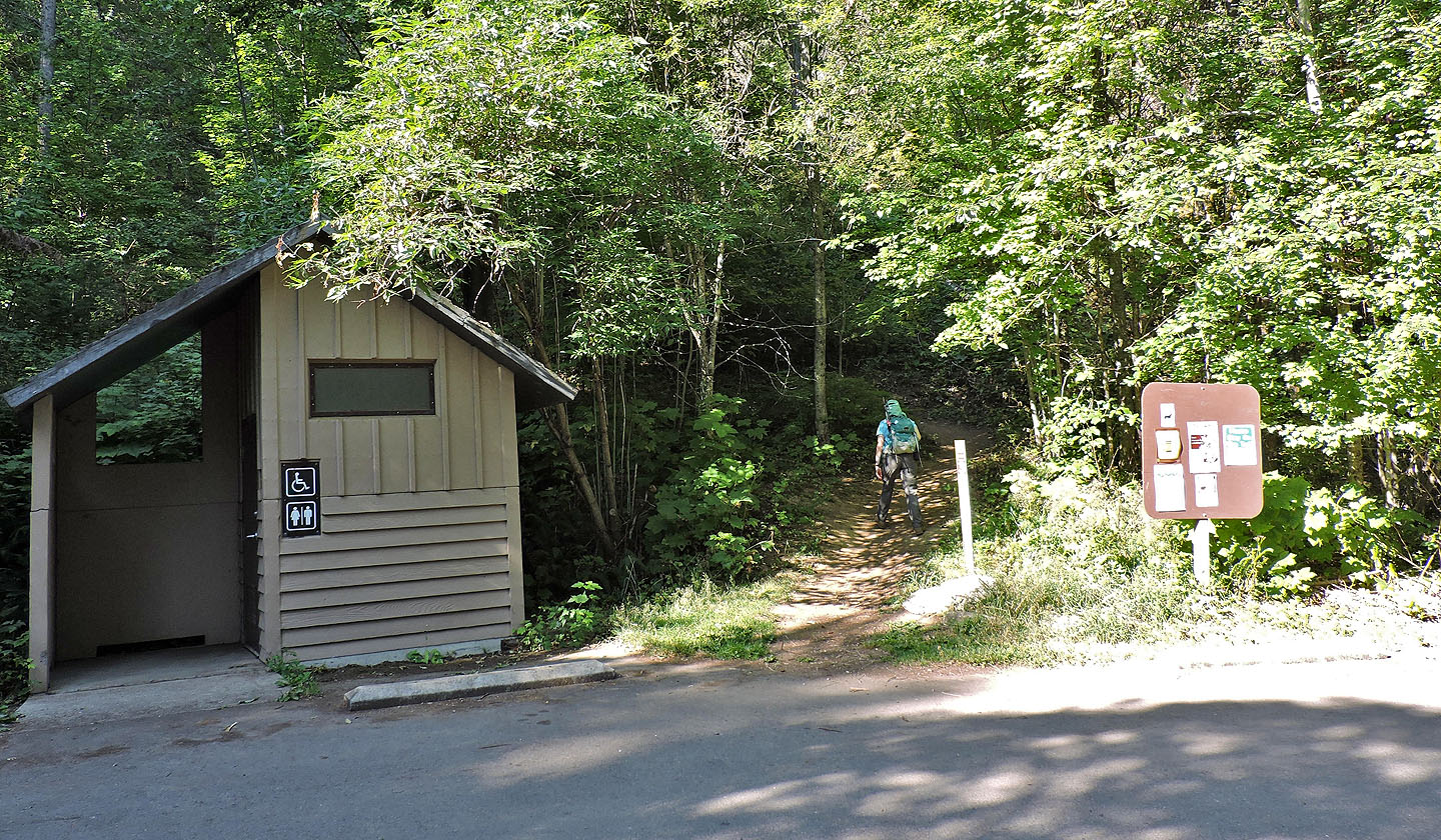
According to the trailhead sign, this is Trail 3
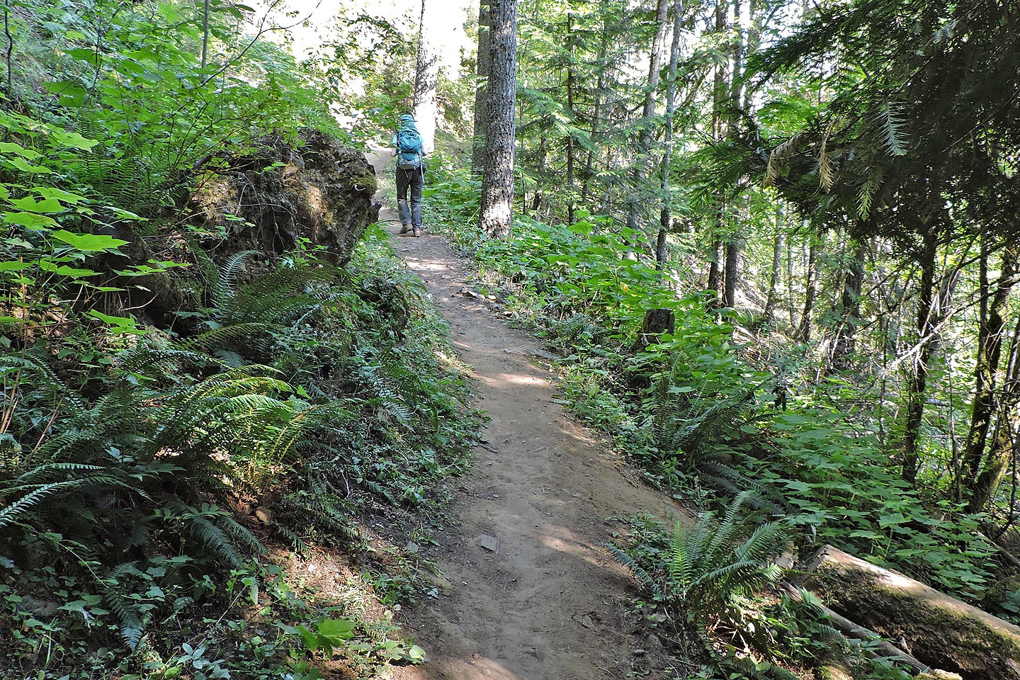
Ferns lined the trail near the start
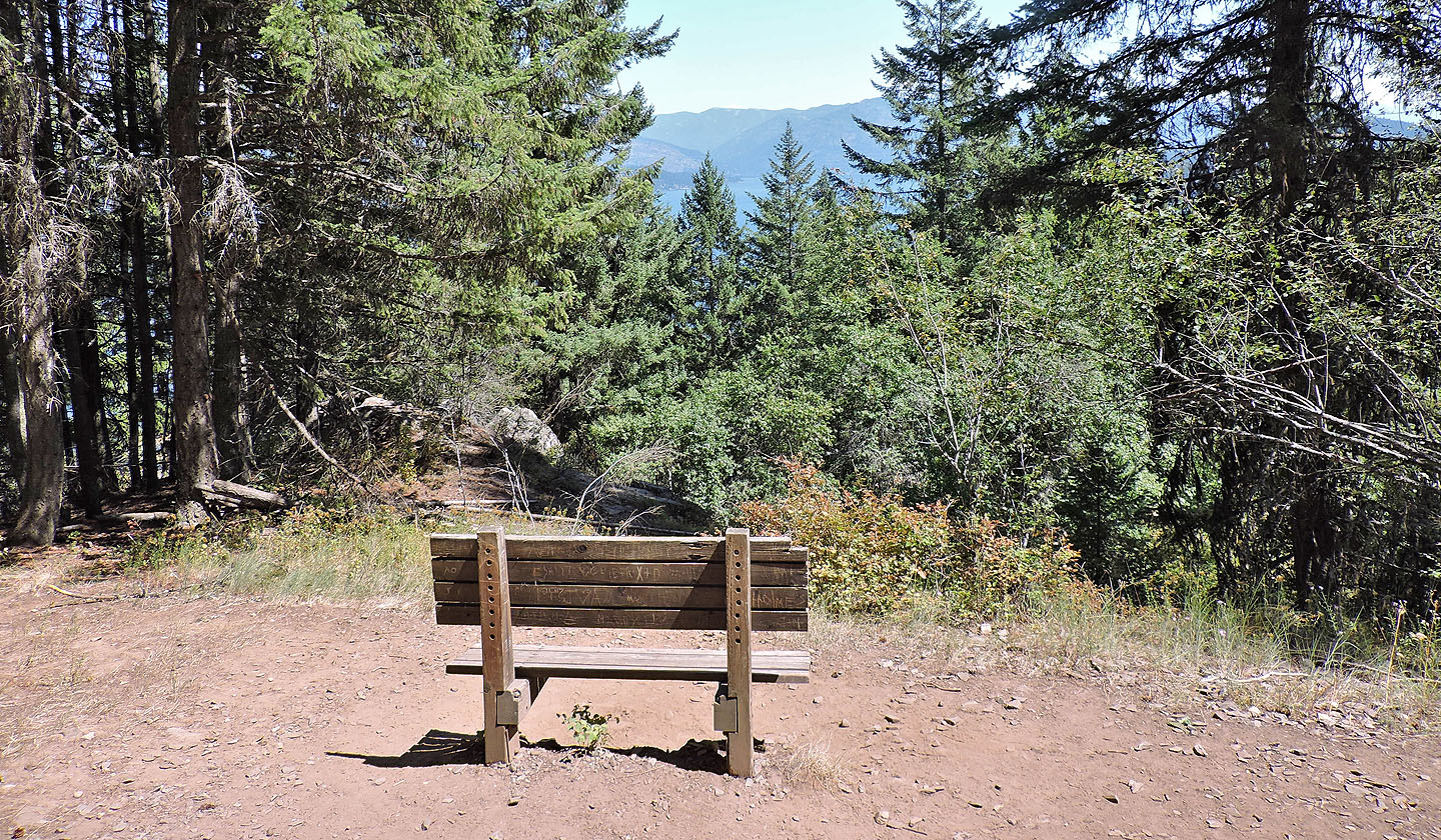
1.3 km up the trail there's a bench with a narrow viewpoint
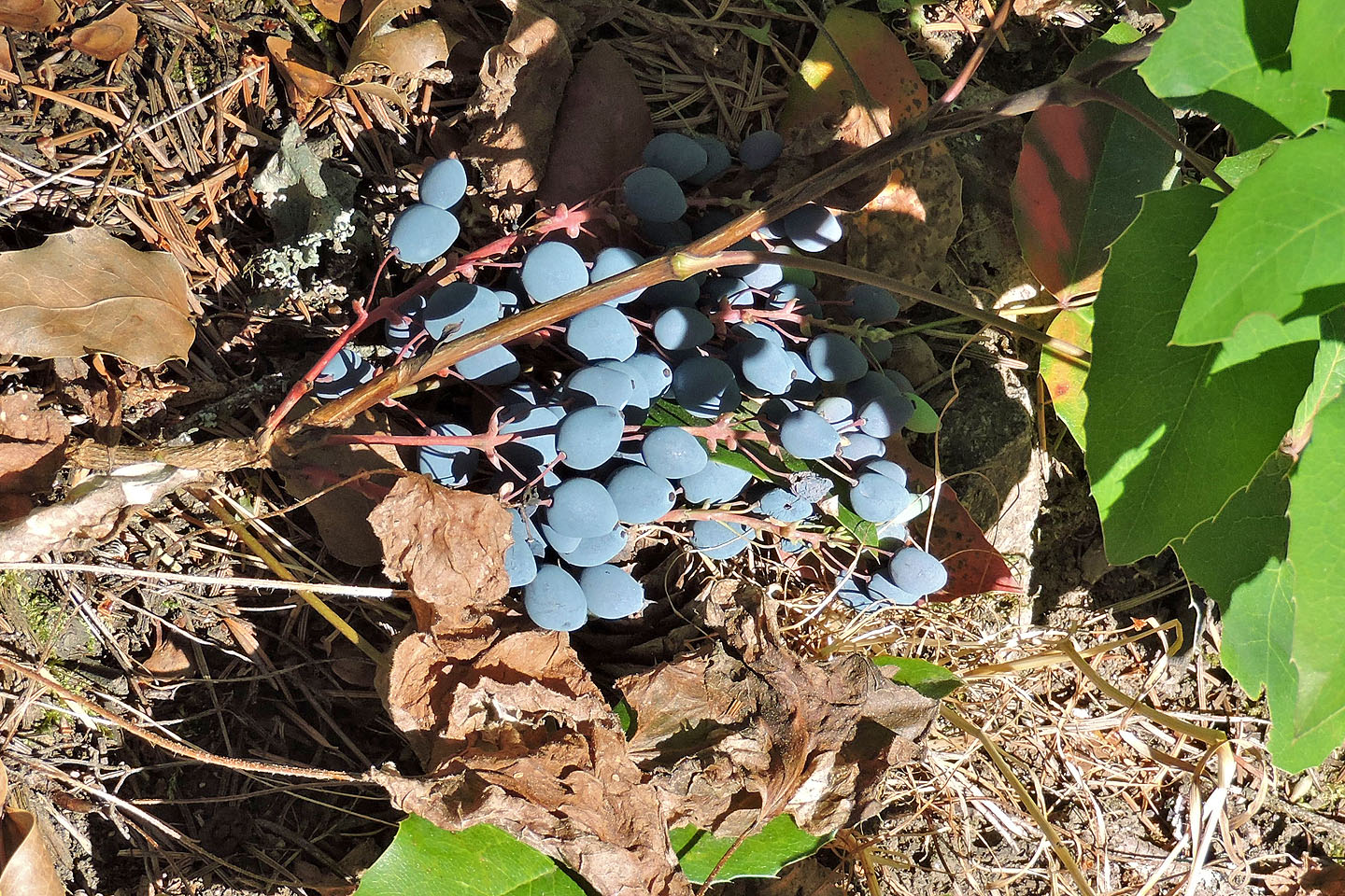
Oregon grapes
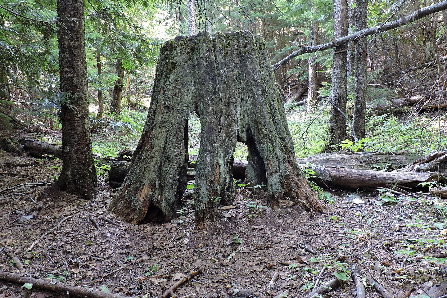
This old tree trunk next to the trail caught my eye
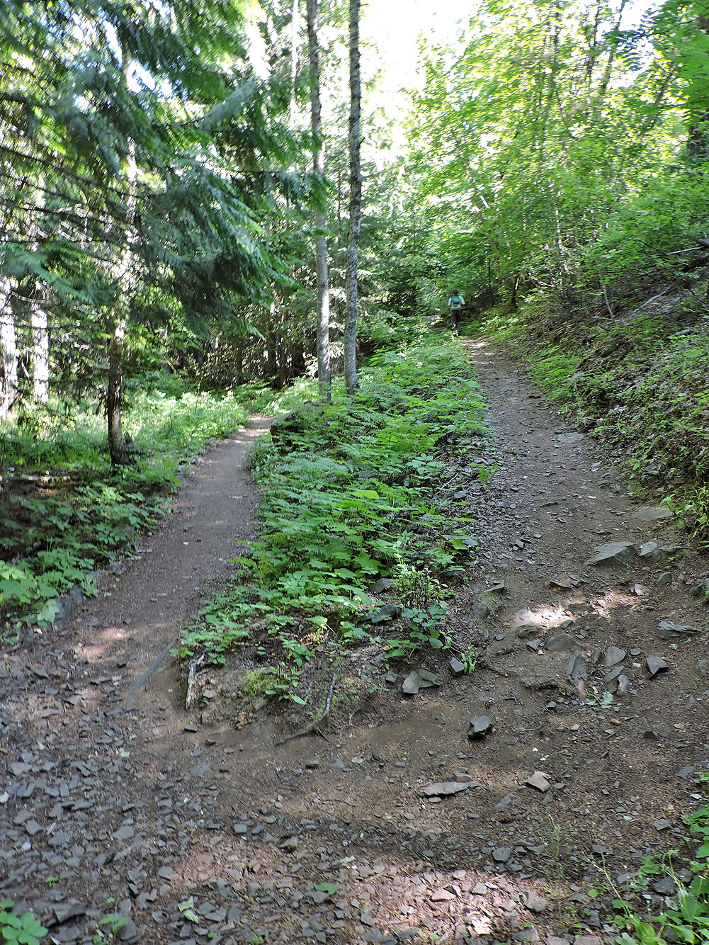
This is the gentlest switchback I've come across
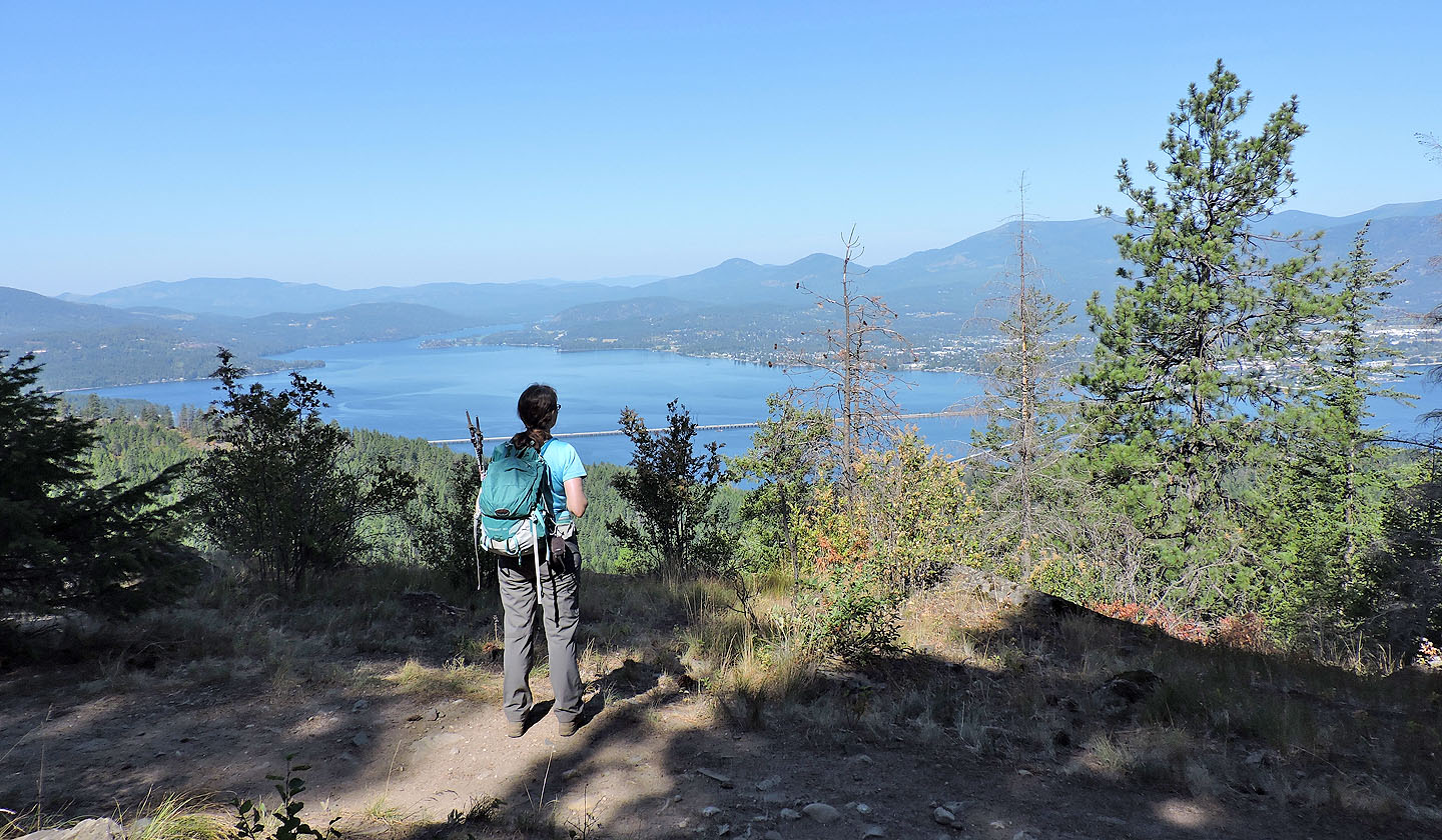
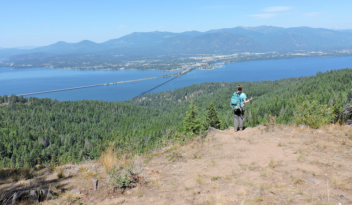
We reached a viewpoint although the official one is ahead
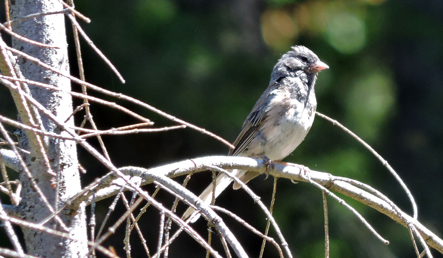
Most birds kept high in the tree canopy, heard but not seen, except for this songbird
Apparently most people turn around at the viewpoint
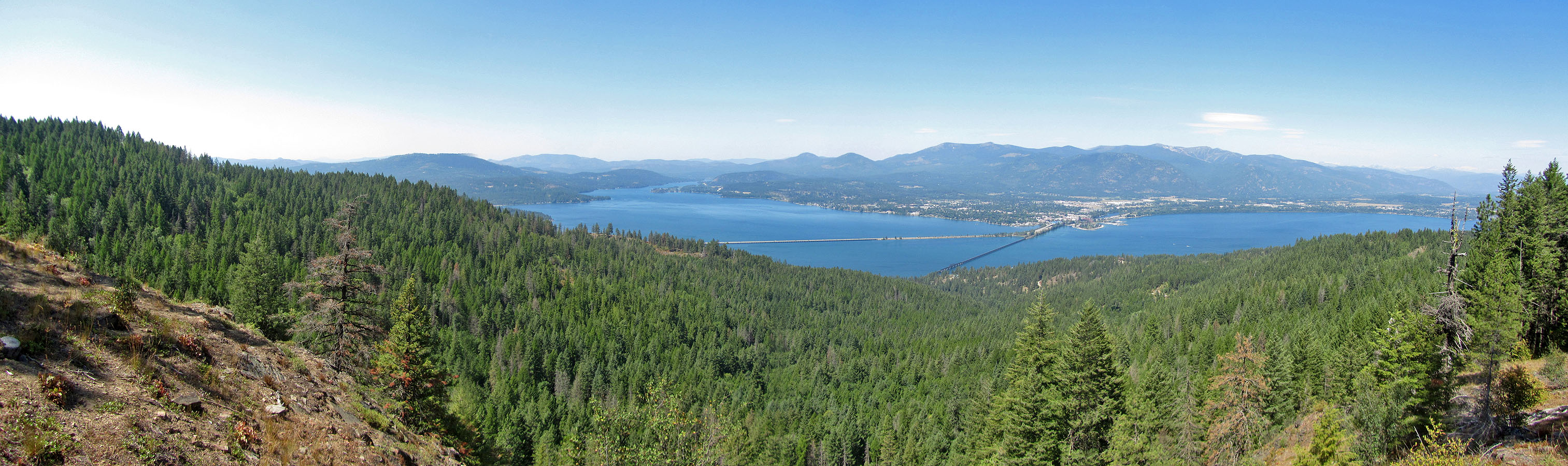
Panorama from the viewpoint
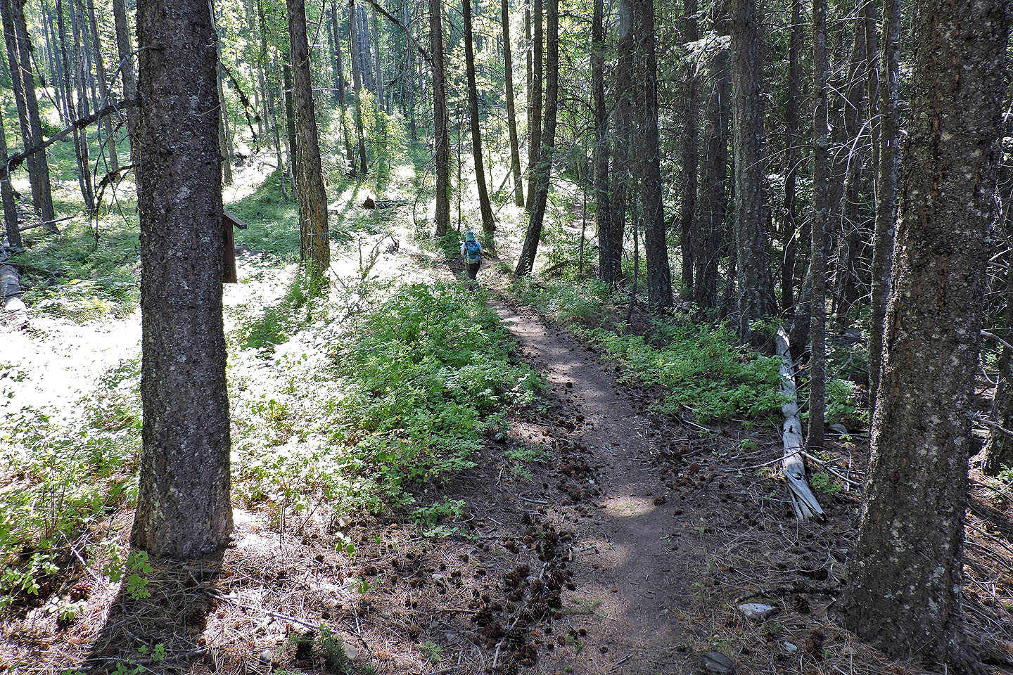
But we continued up the trail
Trail 3 ends at a road
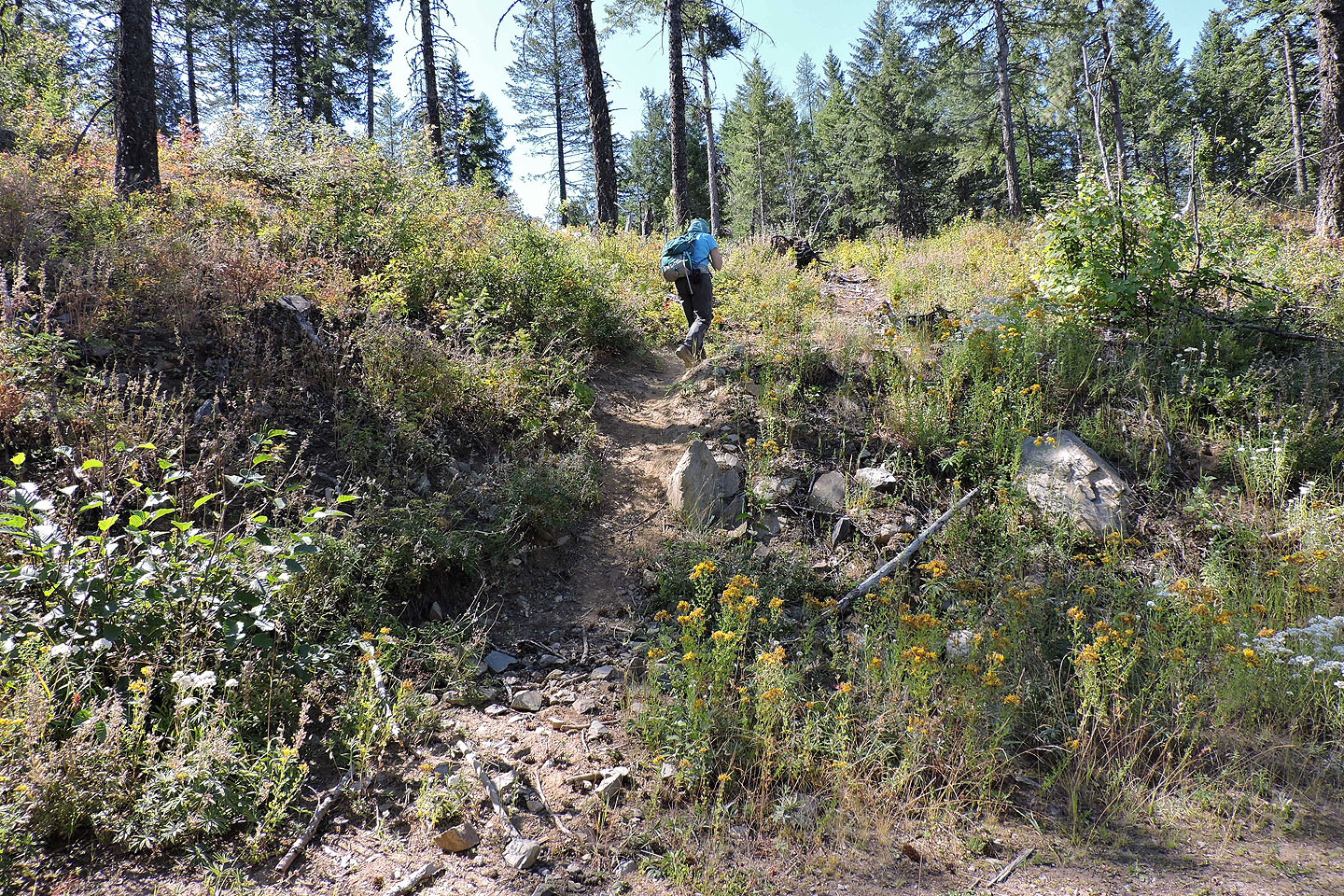
After walking up the road a short distance we noticed this trail and decided to try it
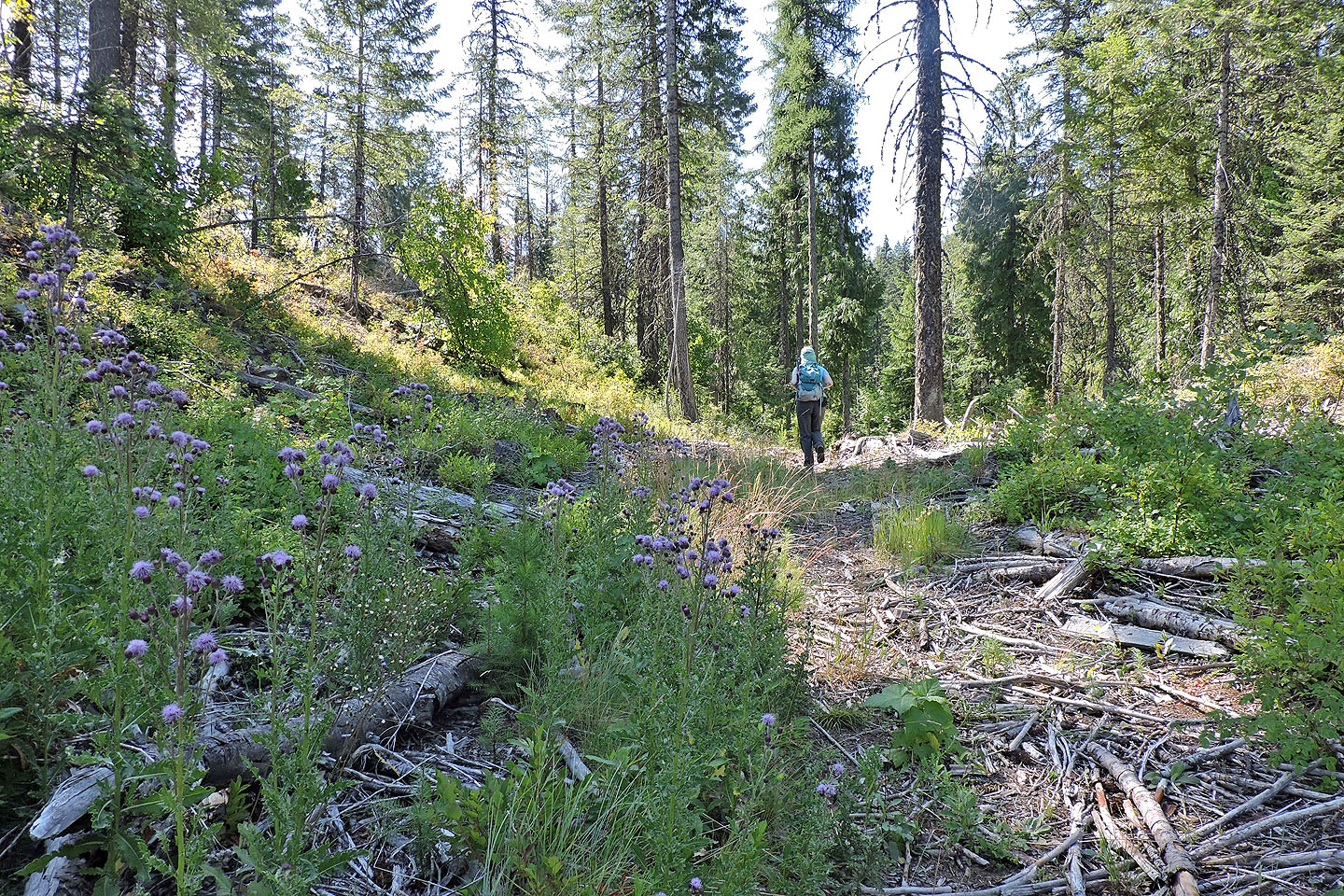
It follows a depression before climbing and intersecting a bike path
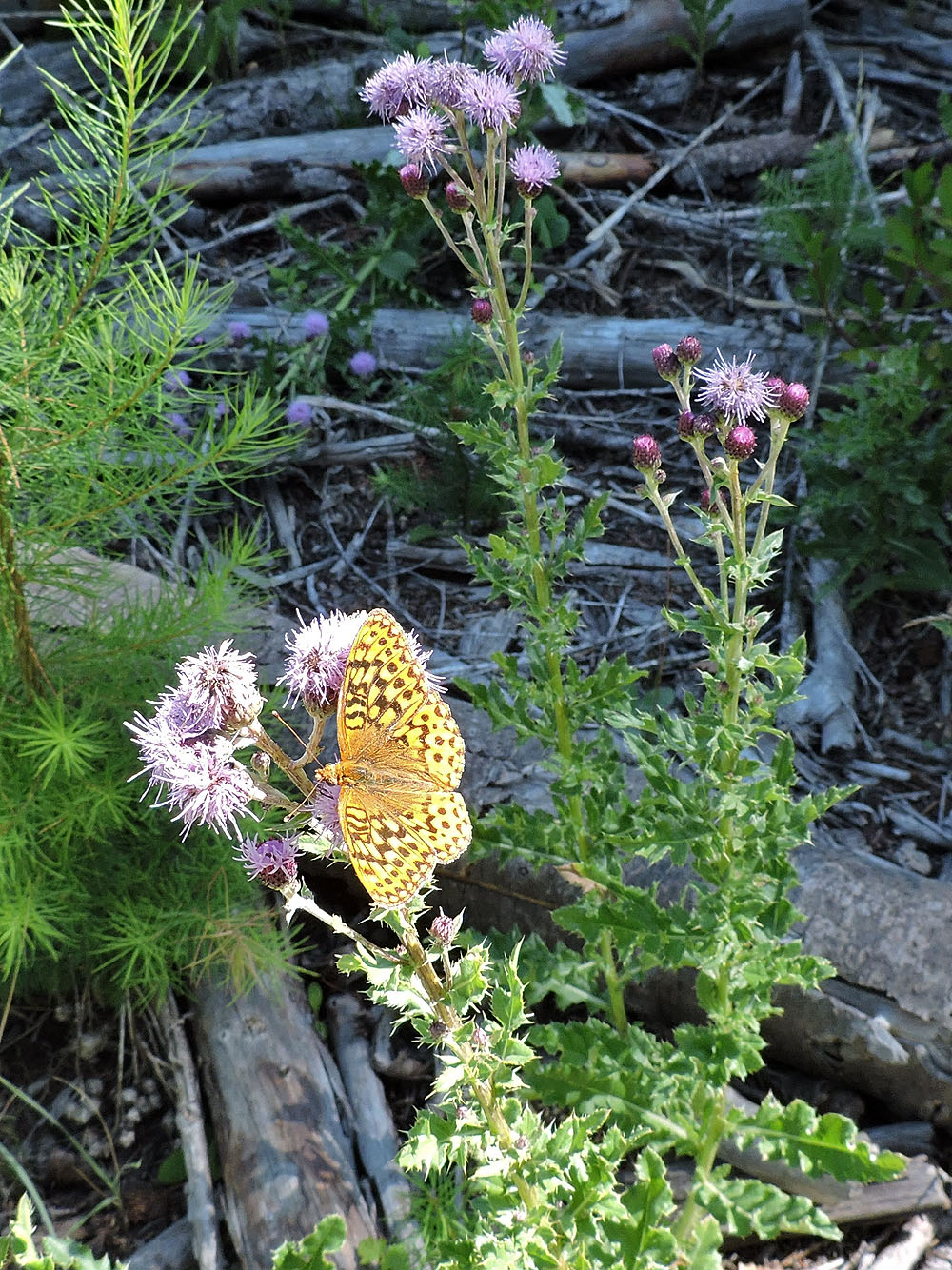
Butterfly on a thistle plant
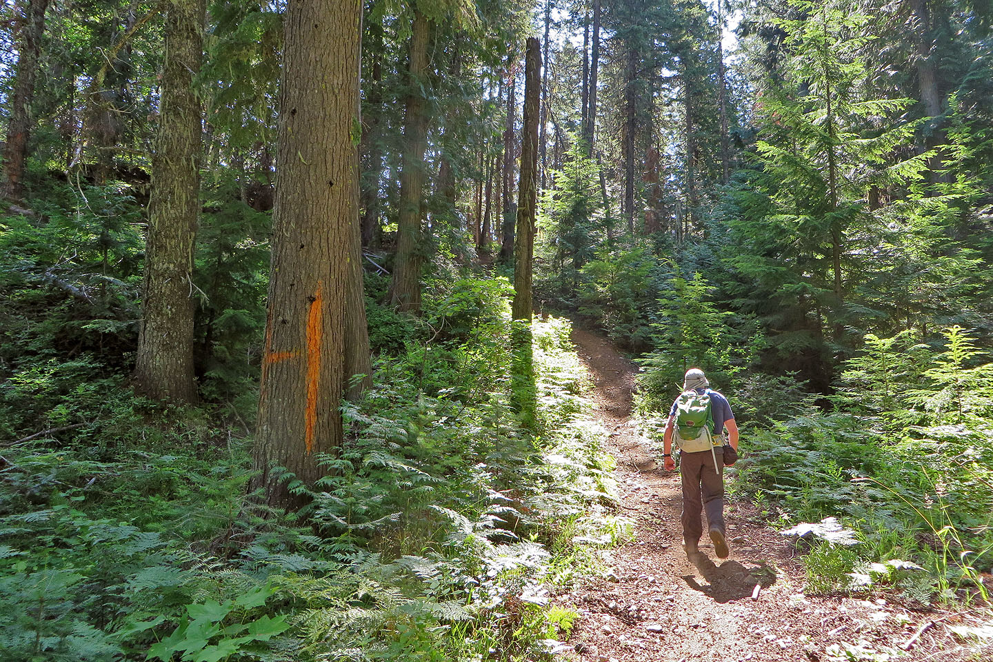
On the bike path we passed a big orange H, whatever that means
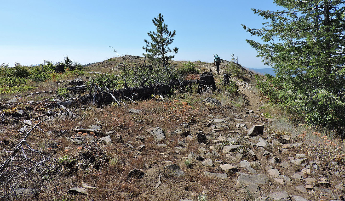
Heading to the first of two summit humps
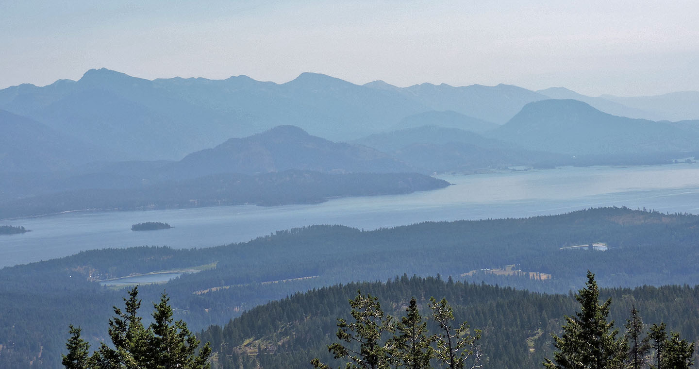
Looking east across the east arm of Lake Pend Orielle. Left is the double summit of Scotchman Peak.
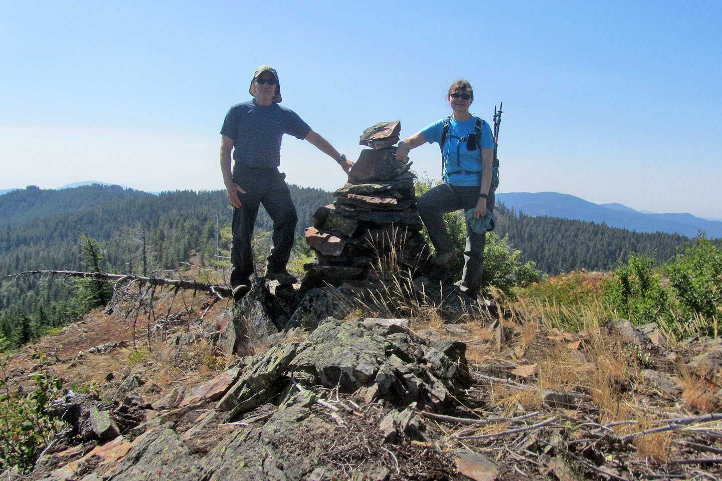
Less than 20 m away, the other summit hump bears a large cairn
Sandpoint, Oden, Talache, Sagle (7.8 mi, 4019 ft,1860 ft)