bobspirko.ca | Home | Canada Trips | US Trips | Hiking | Snowshoeing | MAP | About
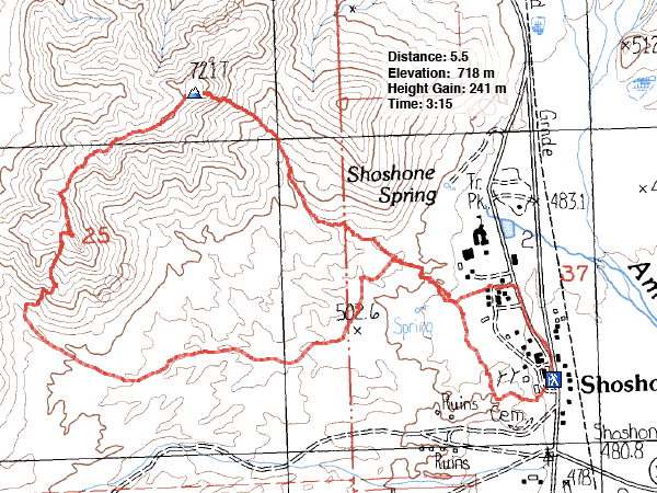
Fairbanks Mountain
aka Shoshone Point
Death Valley, California
October 19, 2015
Distance: 5.5 km (3.4 mi)
Cumulative Elevation Gain: 274 m (899 ft)
After a series of thunderstorms rolled through the Las Vegas environs and flooded roads in their wake, I scoured the Internet to make sure we could drive to the trailhead for Ibex Peak in Death Valley. The roads appeared clear so Shin, Dinah and I hopped in Sonny's SUV. As it turns out, not all road closures were reported. We were stopped just past Shoshone, 15 minutes short of our destination. Even before we got to Shoshone, we had to drive through a flooded section.
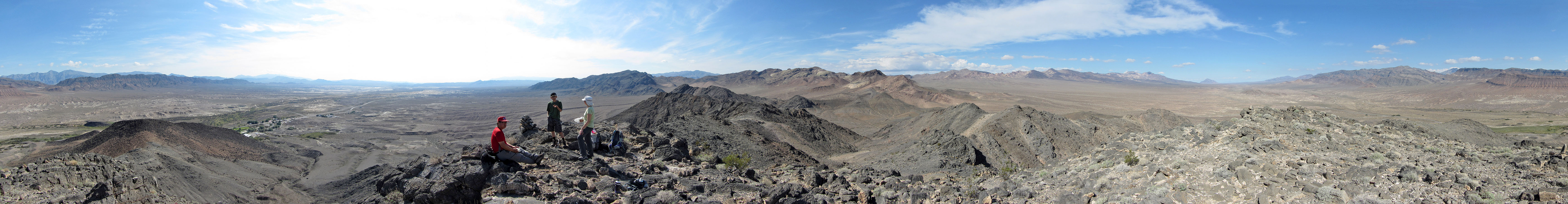
So we parked our car in Shoshone (population 31) and set off for the nearest, highest peak around. It wasn't very high nor very far; we reached the top in an hour. According to the summit register, it's called, “Fairbanks Mountain.” To extend our little trip, we traversed the ridge south for a bit before dropping down to the desert flats and heading back to our car.
Our trip was pleasant although disappointingly short, but that turned out to be a good thing. After leaving Shoshone, we again encountered the flooded road section. Cars now lined up on either side, waiting their turn to cross. When we stopped in the line-up, I got out and approached the sheriff who was watching vehicles push through the muddied water. Shaking his head, he said the water level was rising, and he would have to close the road soon. Mercifully, we were able to drive through it before that happened.
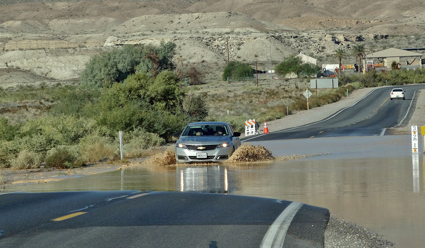
Just outside of Shoshone, we had to drive through a flooded section
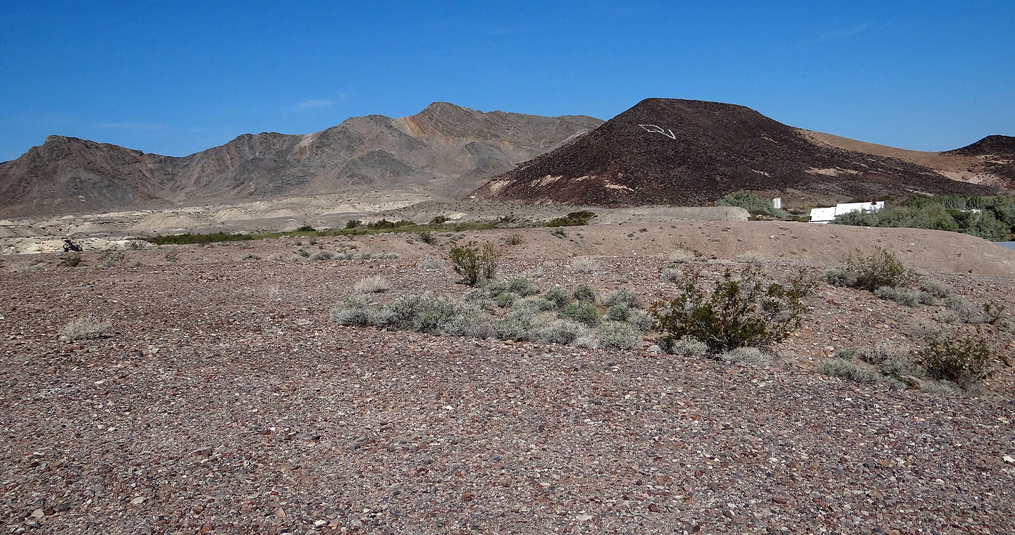
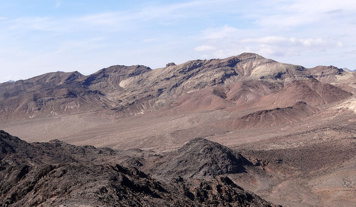
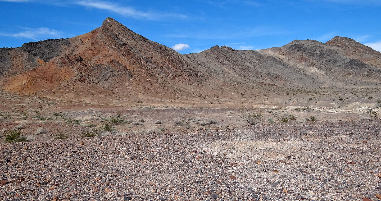
Fairbanks Mountain (centre) seen from a point above Shoshone. DV indicates Death Valley.
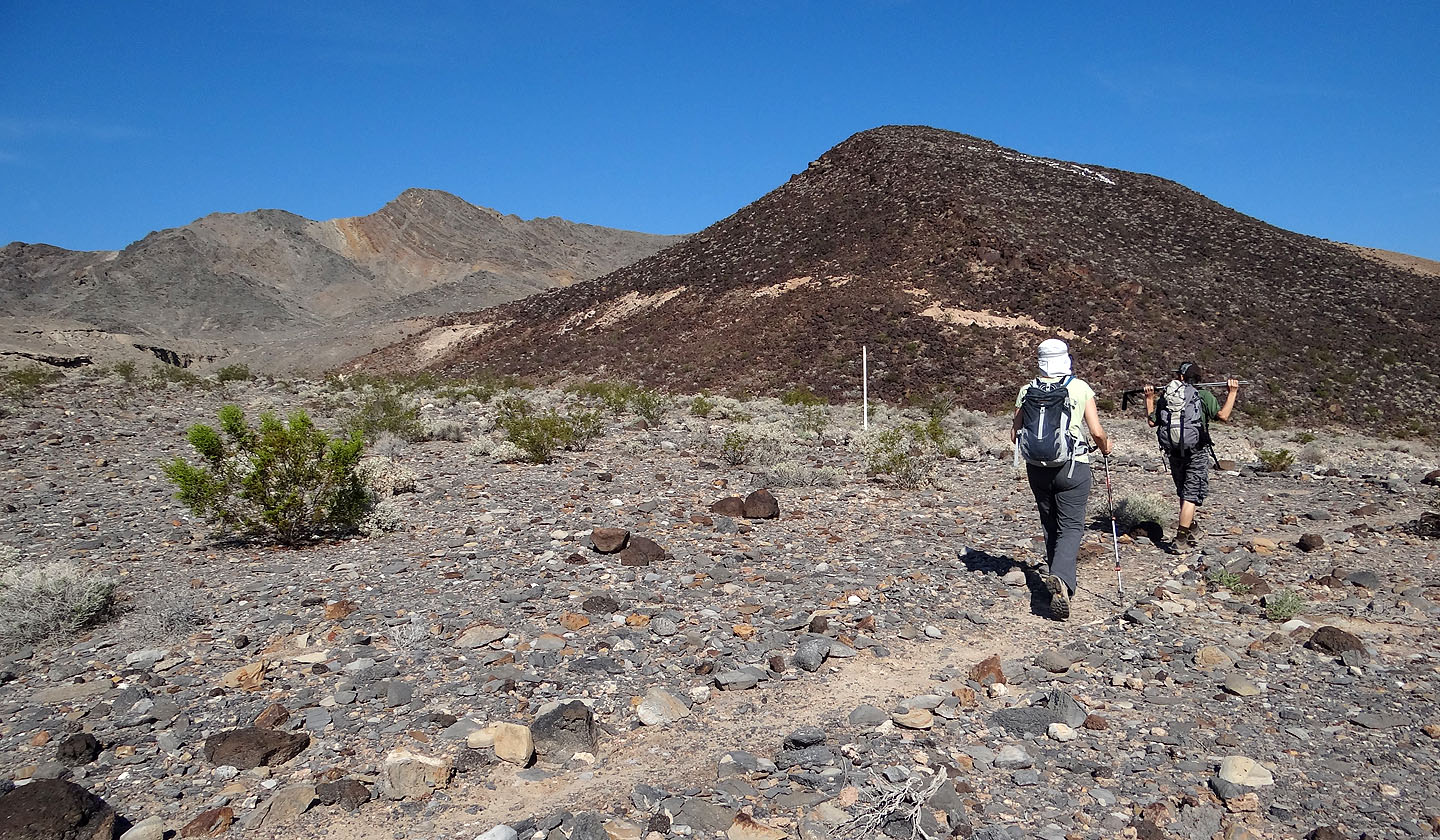
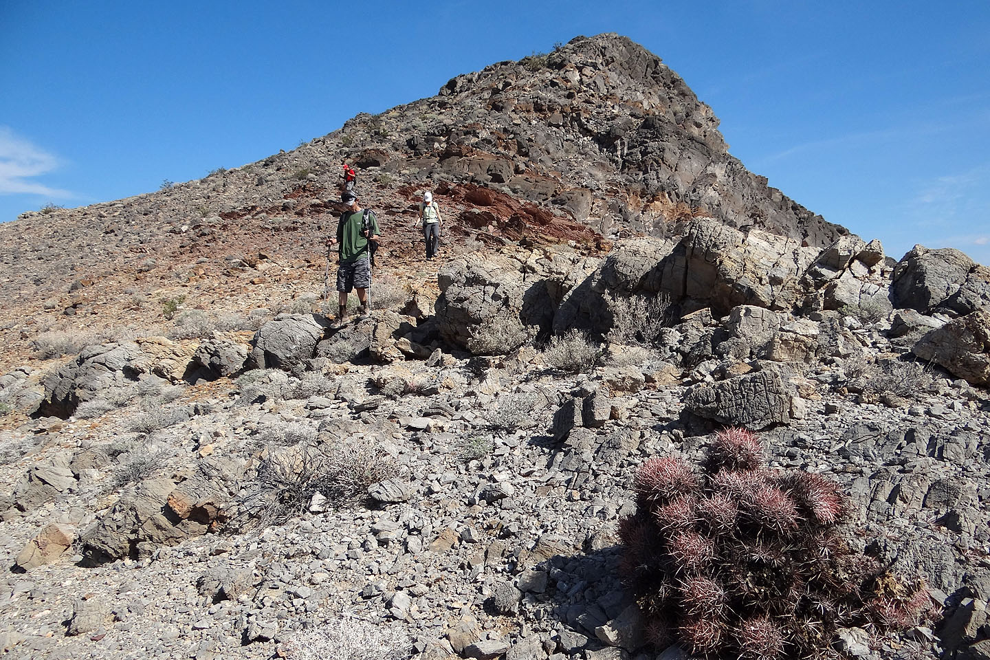
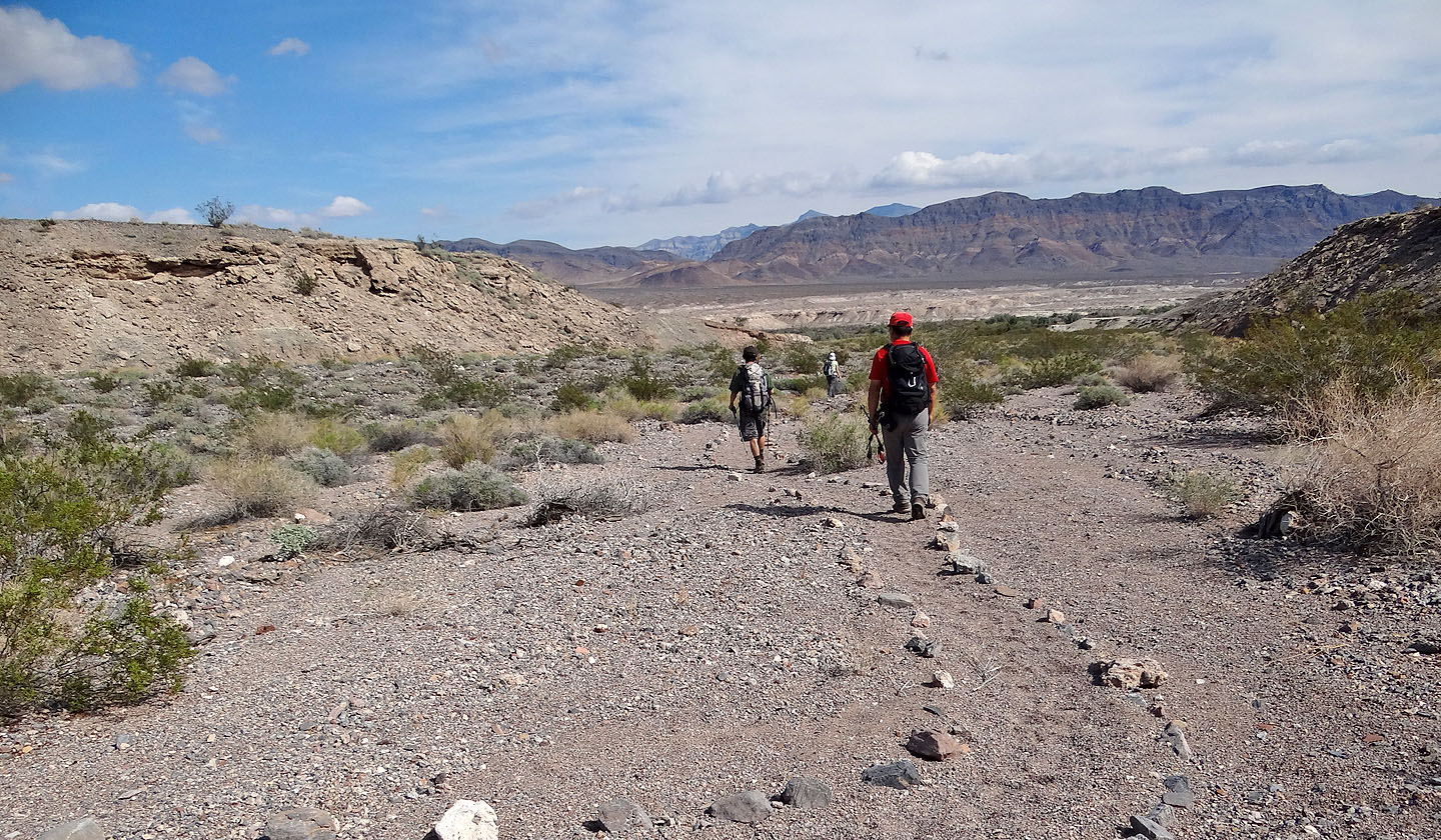
We followed a trail toward our objective
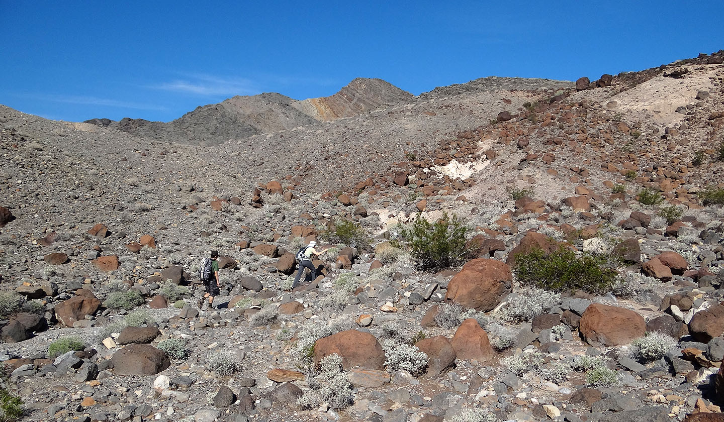
We dropped into a wash that took us to the base of the mountain
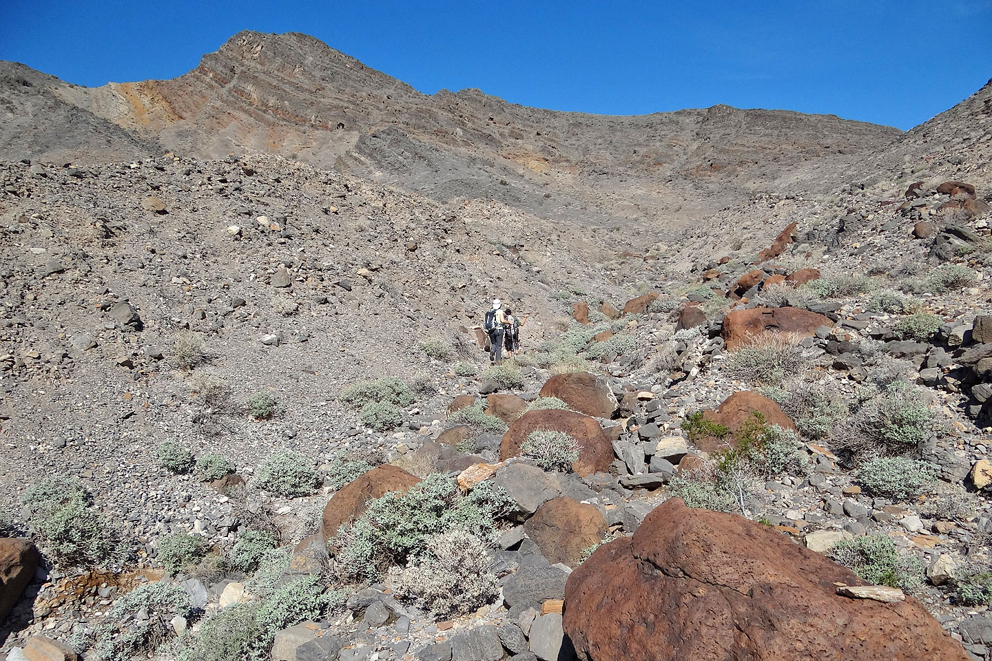
We were going to ascend the saddle on the right, but drawing closer, the steep slope below the
summit appeared feasible
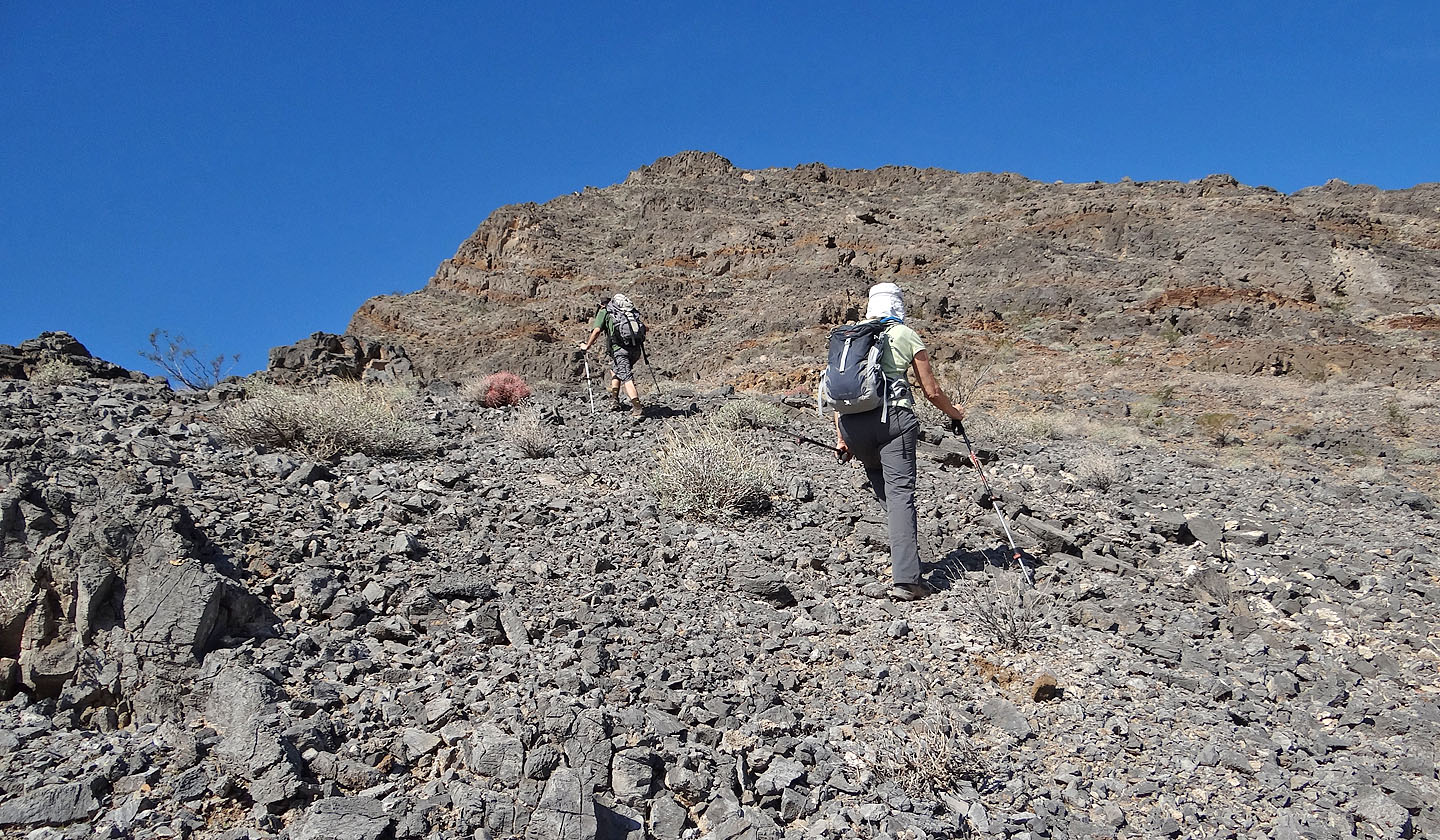
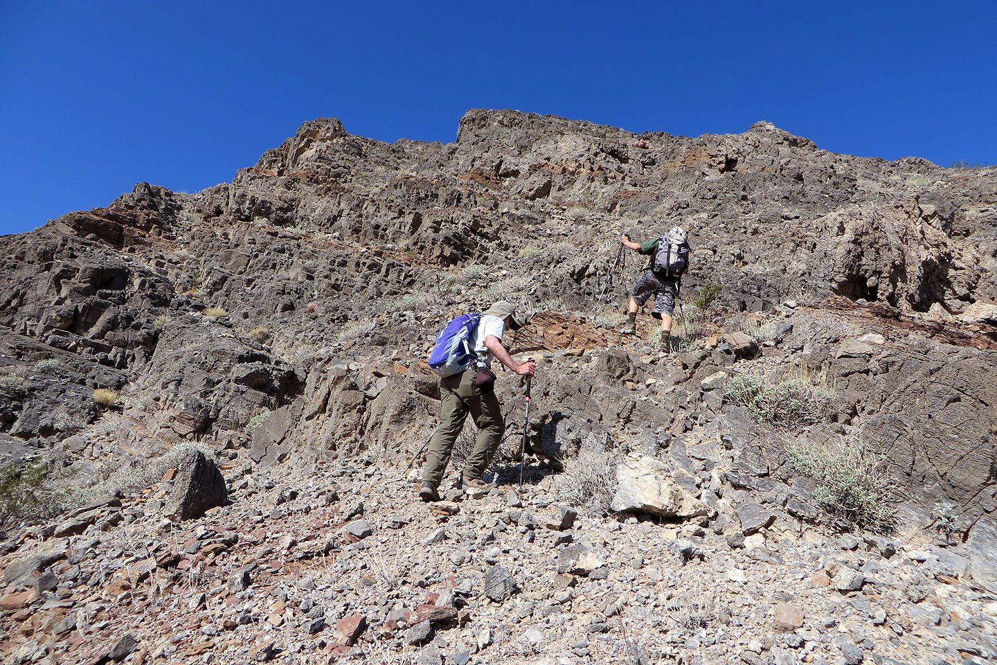
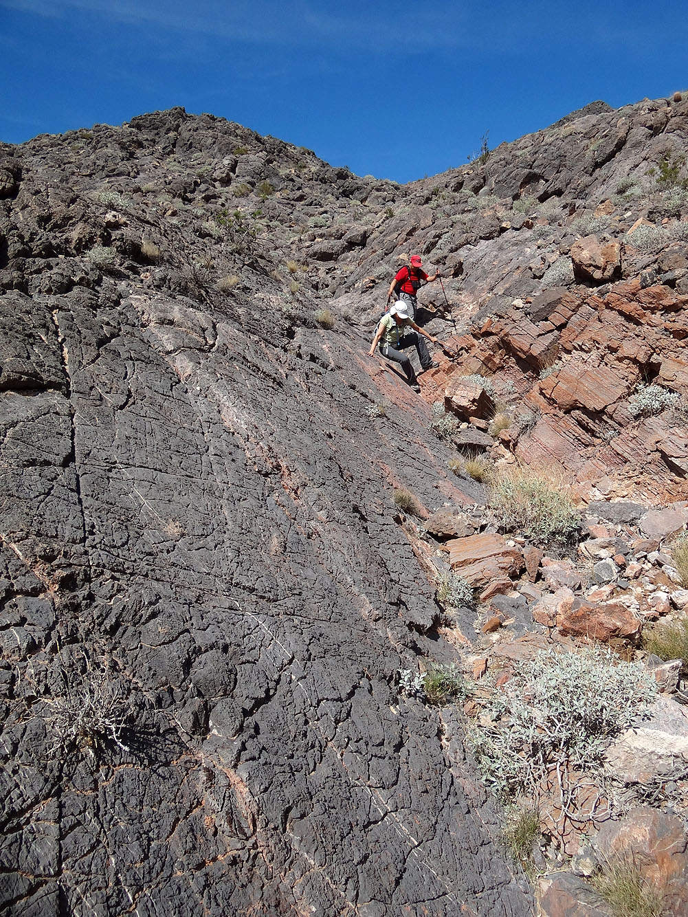
We ascended the slope in front of us
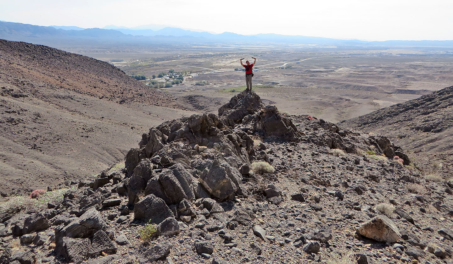
Sonny poses on a rock with Shoshone in the background
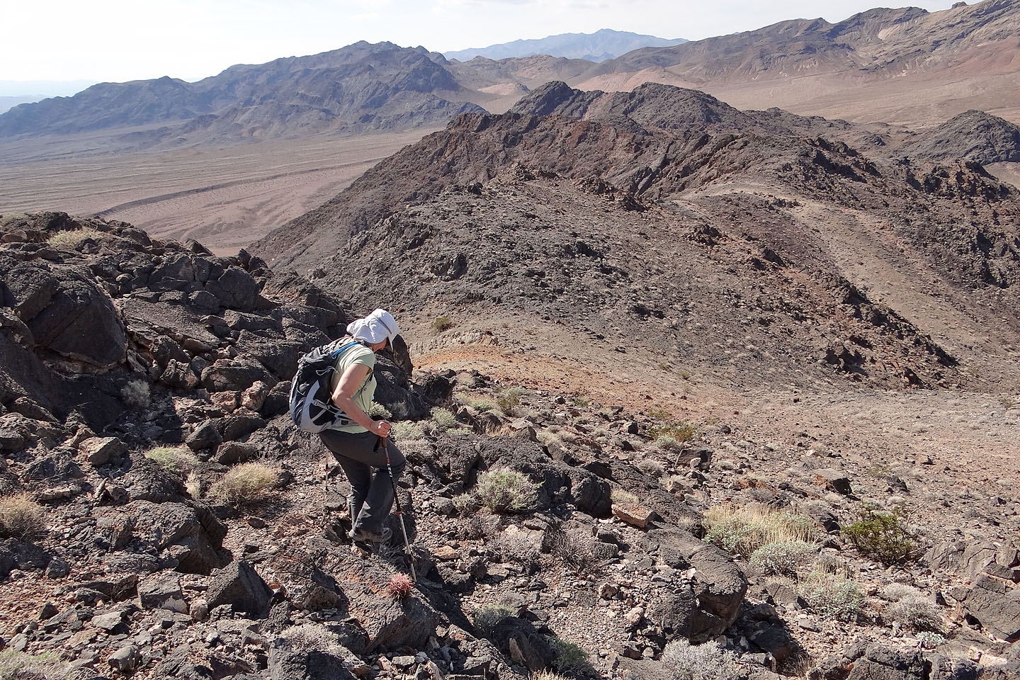
Heading to the summit
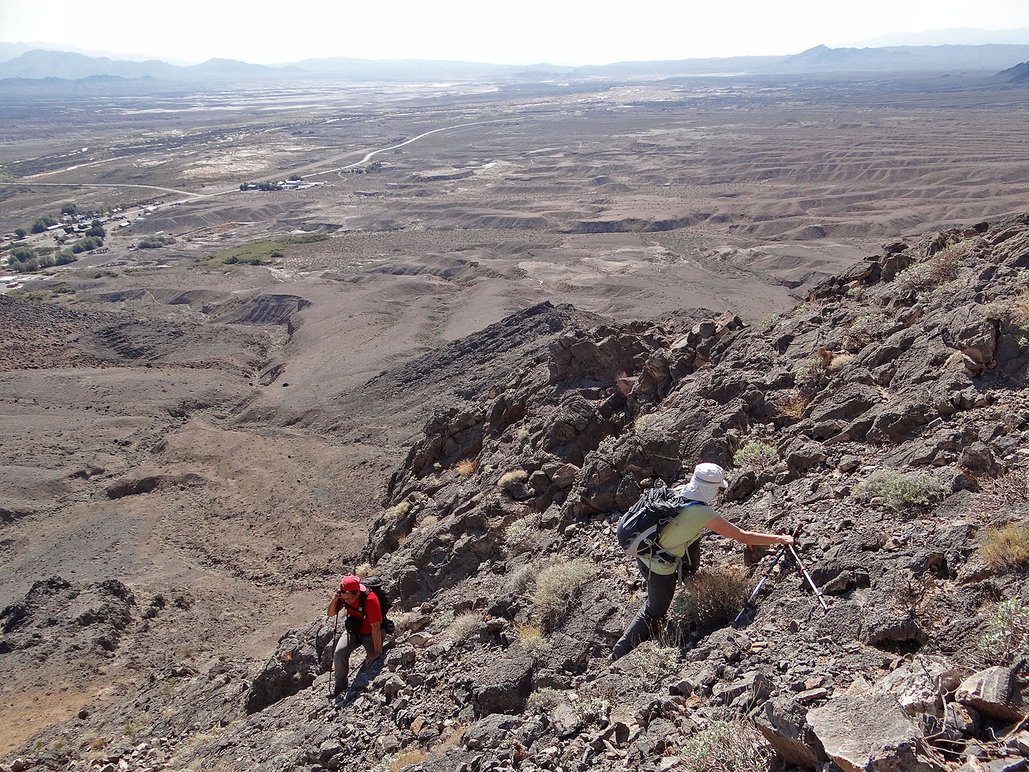
It soon became steep
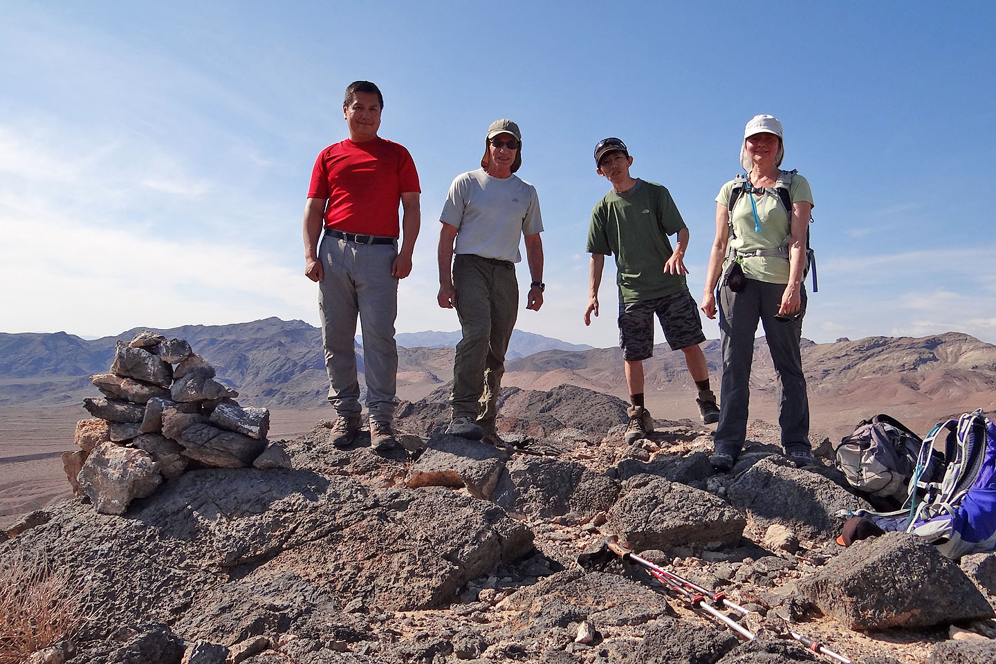
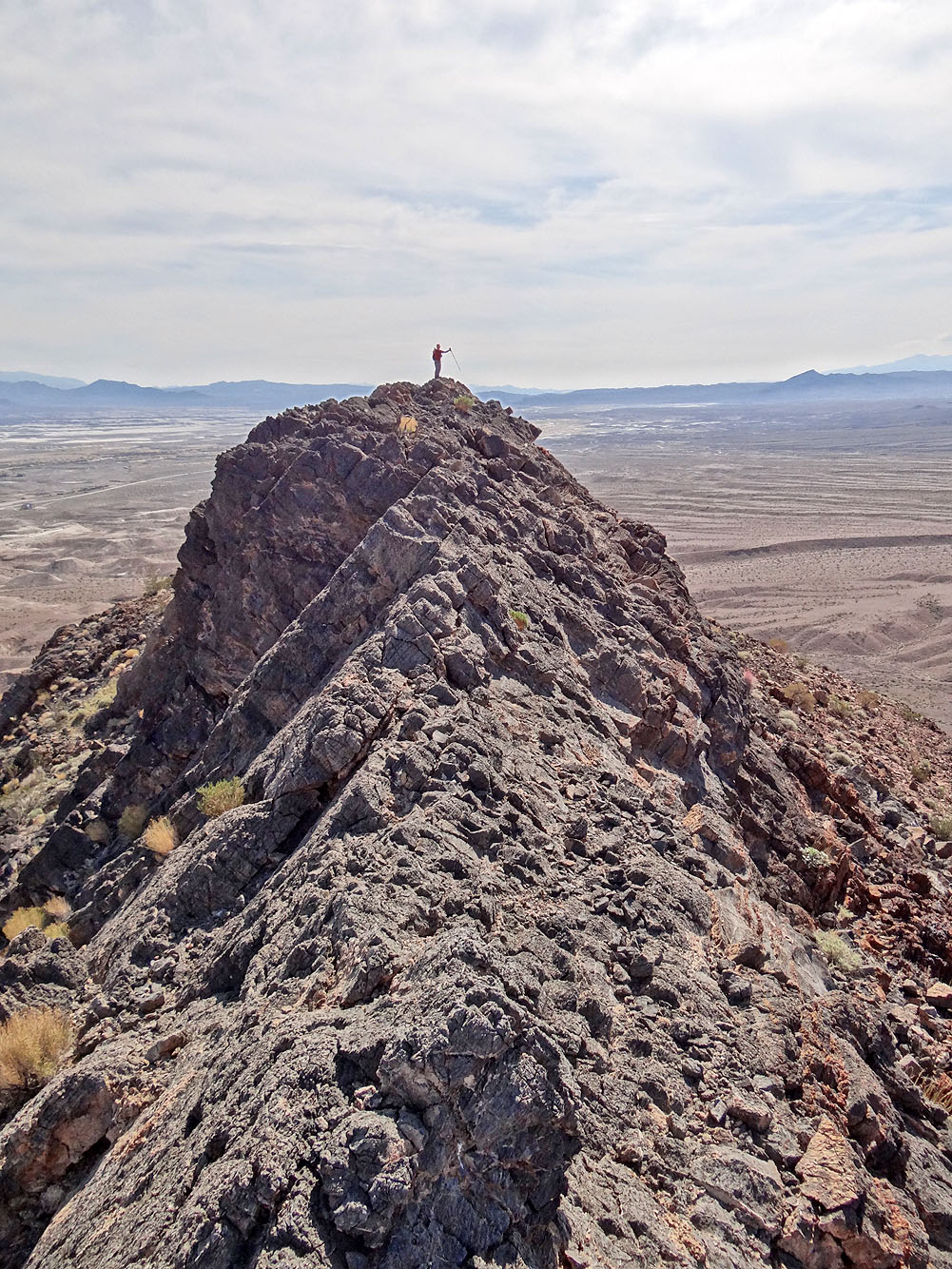
Posing on the summit
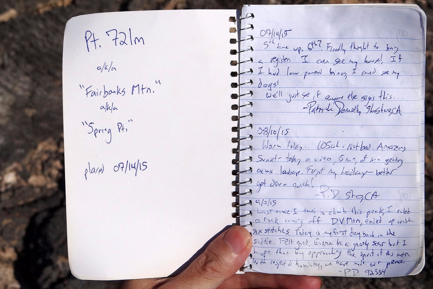
The register was started just three months ago
The Dublin Hills lie west
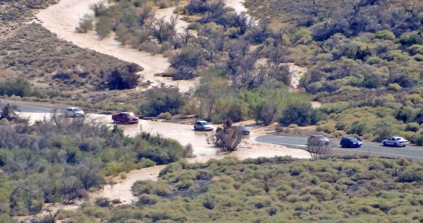
A sheriff's car sits by the flooded road section that we'll have to drive through again
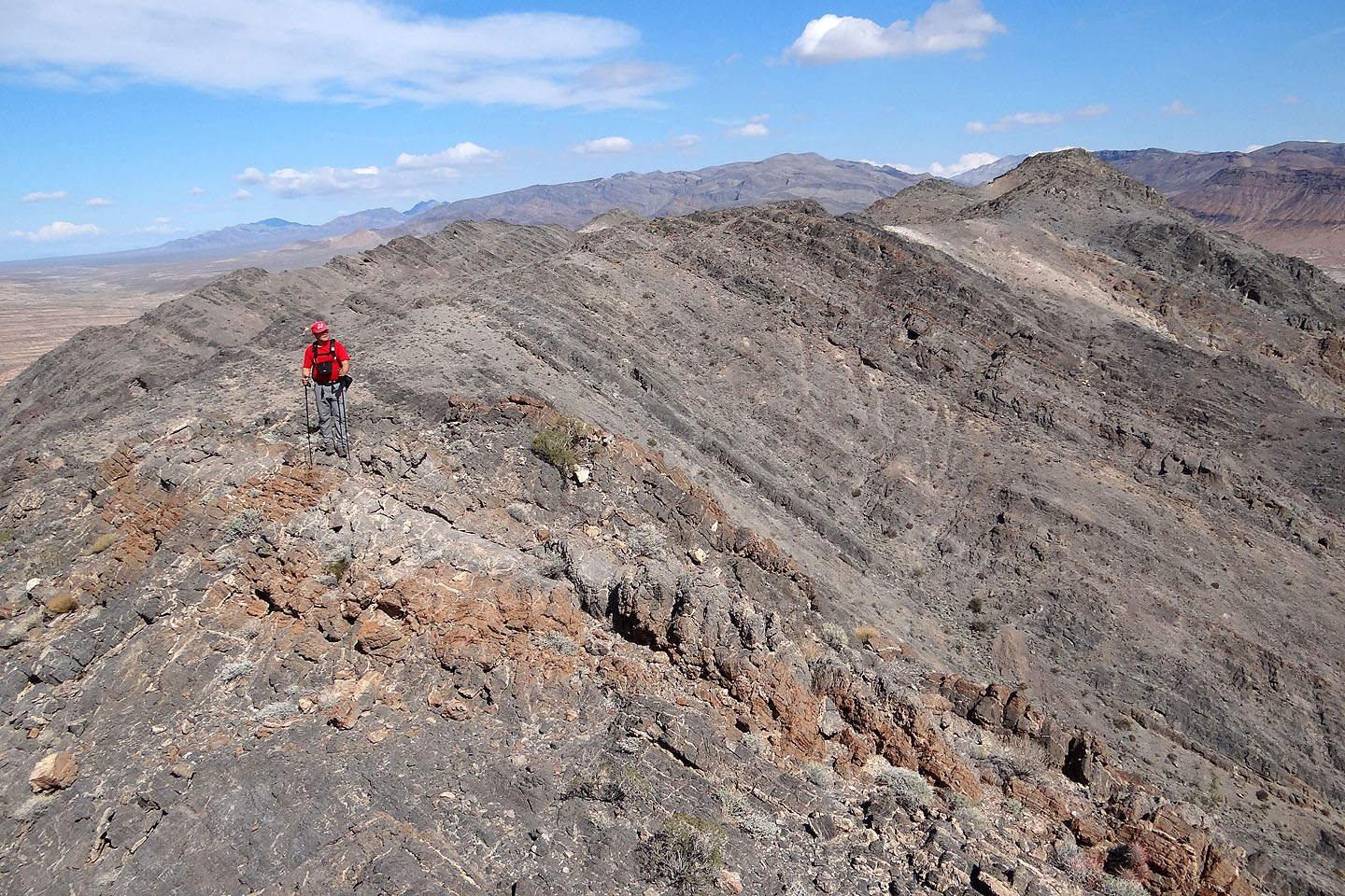
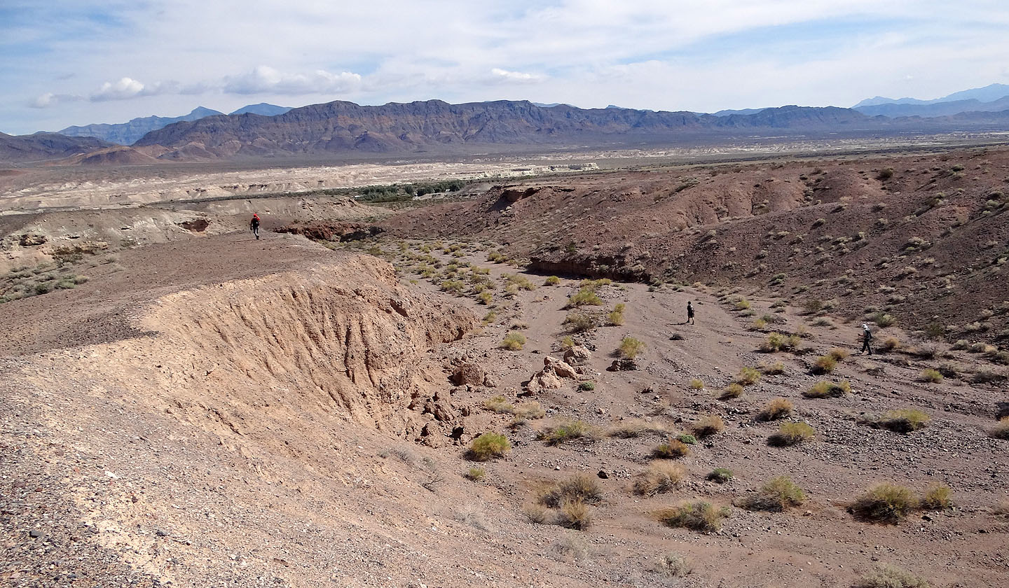
From the summit, we started traversing the ridge
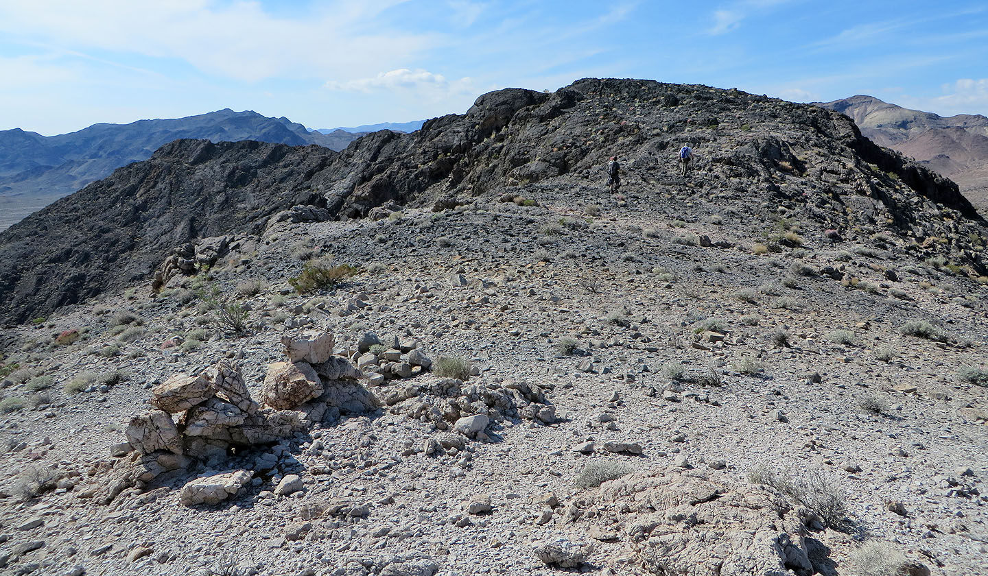
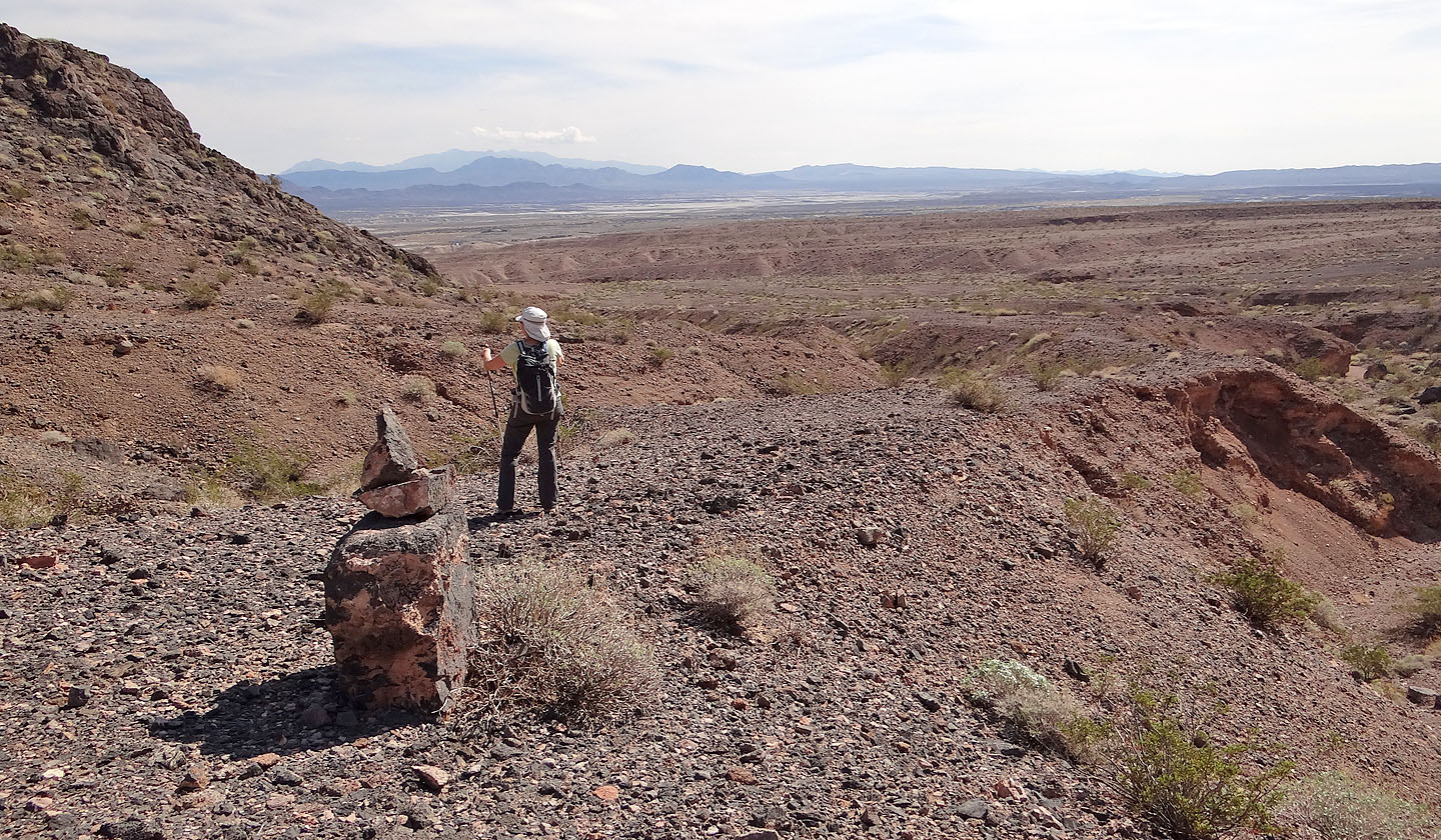
We passed a cairn on the ridge
Looking back at the summit
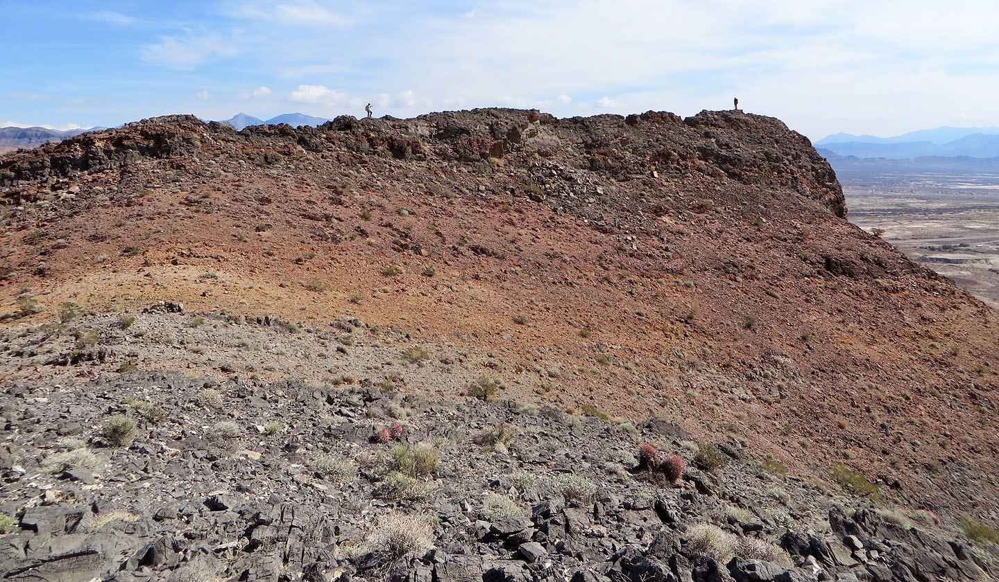
We left the summit (far right) behind
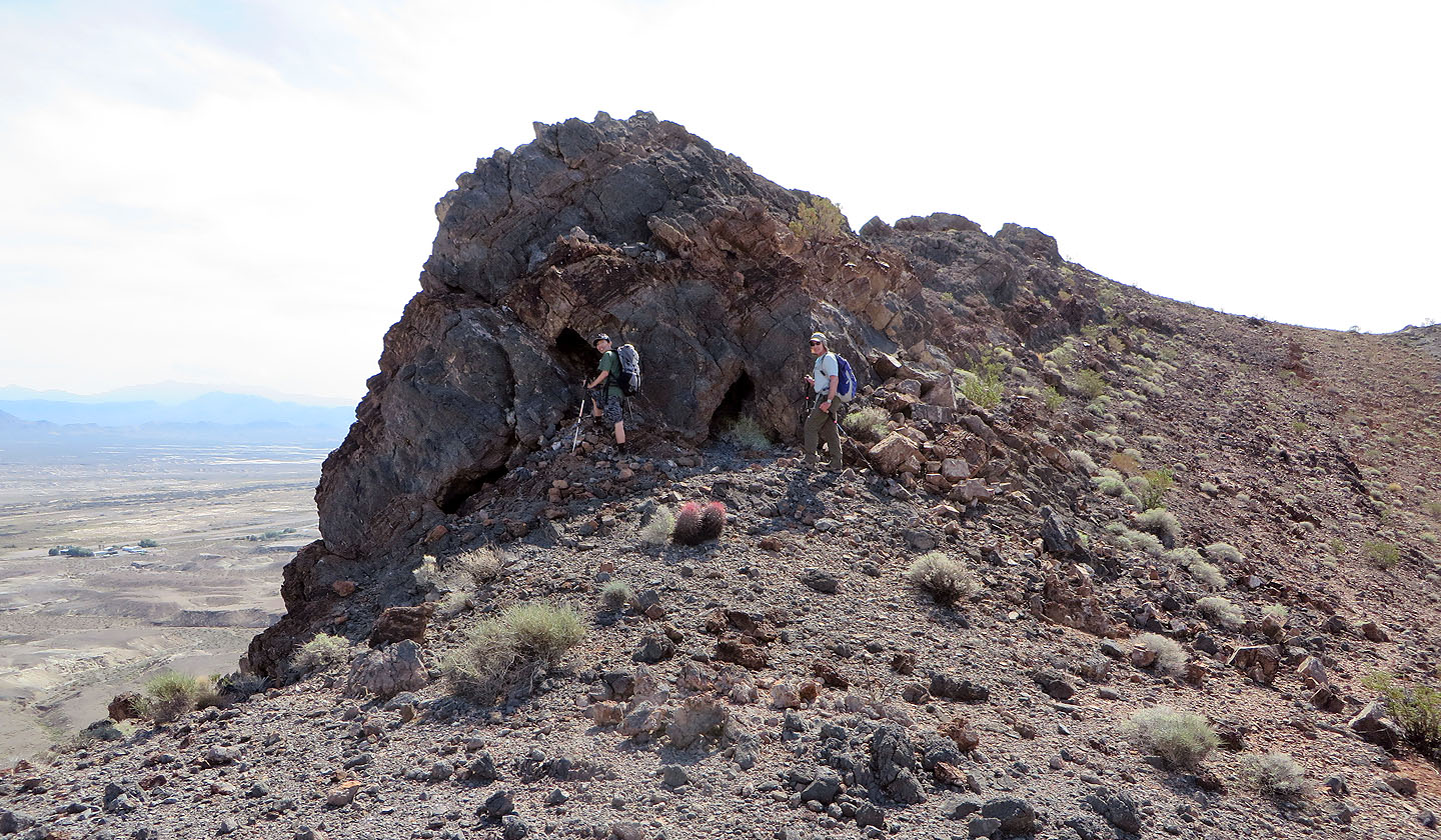
We checked out some tiny caves
Sonny hiked to the end of a side ridge
Sonny at the end of the ridge.
On the right is Tecopa Peak.
We dropped down steep rock
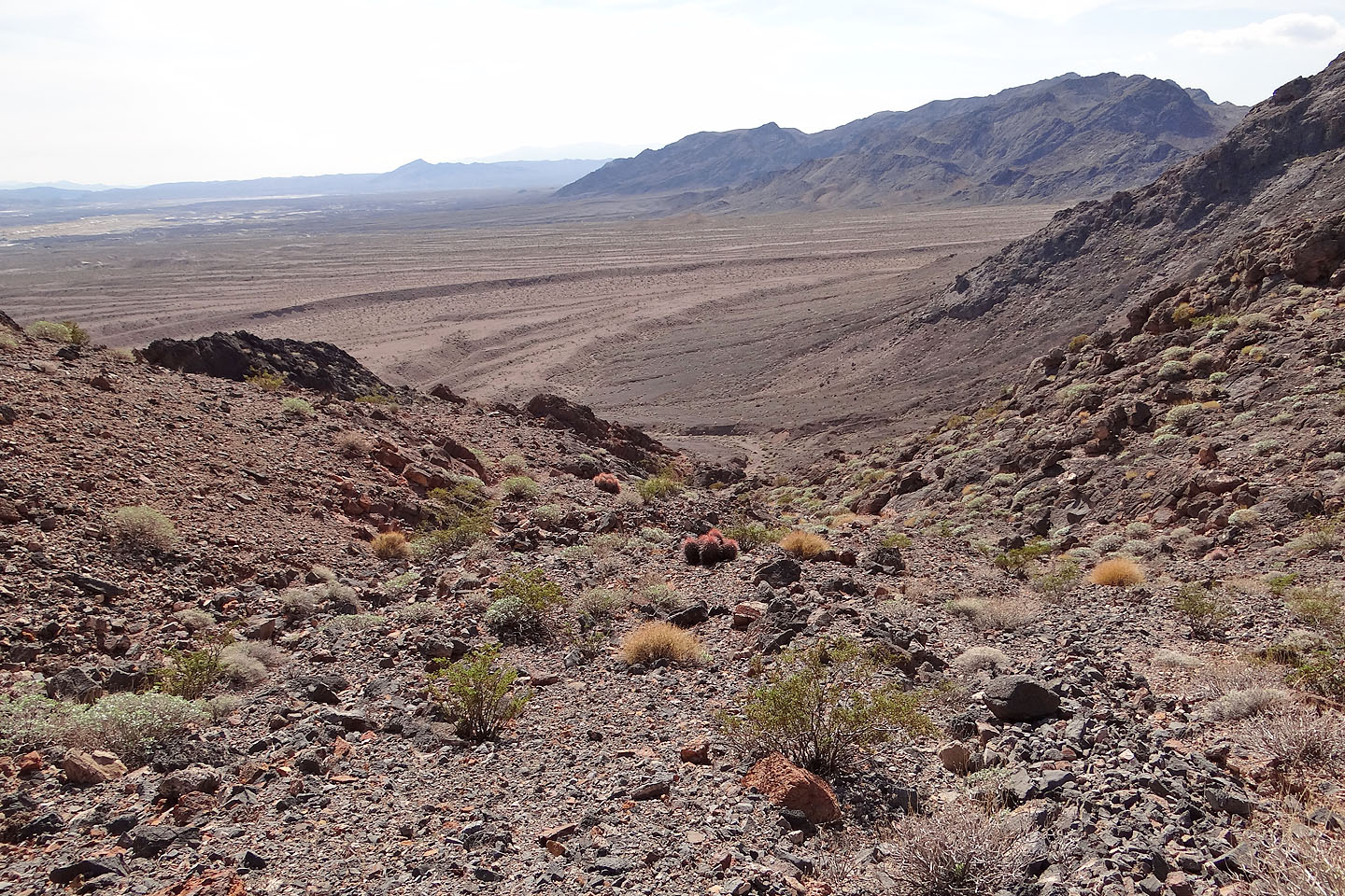
We dropped down this wash
We reached the base of the ridge
We passed below the stretch of ridge we had just traversed
We made our way back to the car
Back on the trail lined with rocks
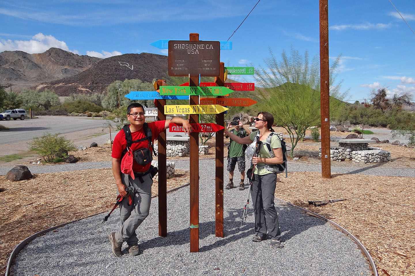
Back in Shoshone. Signs show it's 7775 miles to Mt. Everest to 347 feet to the restrooms
(mouse over for a close-up of the signs).
Shoshone (3.4 mi, 2356 ft, 791 ft)