bobspirko.ca | Home | Canada Trips | US Trips | Hiking | Snowshoeing | MAP | About
Ibex Peak
Death Valley, California
April 18, 2016
Distance: 10.3 km (6.4 mi)
Cumulative Elevation Gain: 626 m (2054 ft)
When Shin, Dinah and I first attempted Ibex Peak six months earlier we were stopped miles short of the trailhead because of flooded roads near Shoshone. This time we returned to find the roads clear, but it was a near thing: recent flood damage had closed Highway 178 just past the access road to Ibex Peak. The dirt access road itself was in fine shape, and we had no difficulties driving up it in our 2WD SUV. (The map indicates two access roads going to the trailhead, but only the east road was in good shape.) We parked at the trailhead and started up an old mining road with Ibex Peak in our sights.
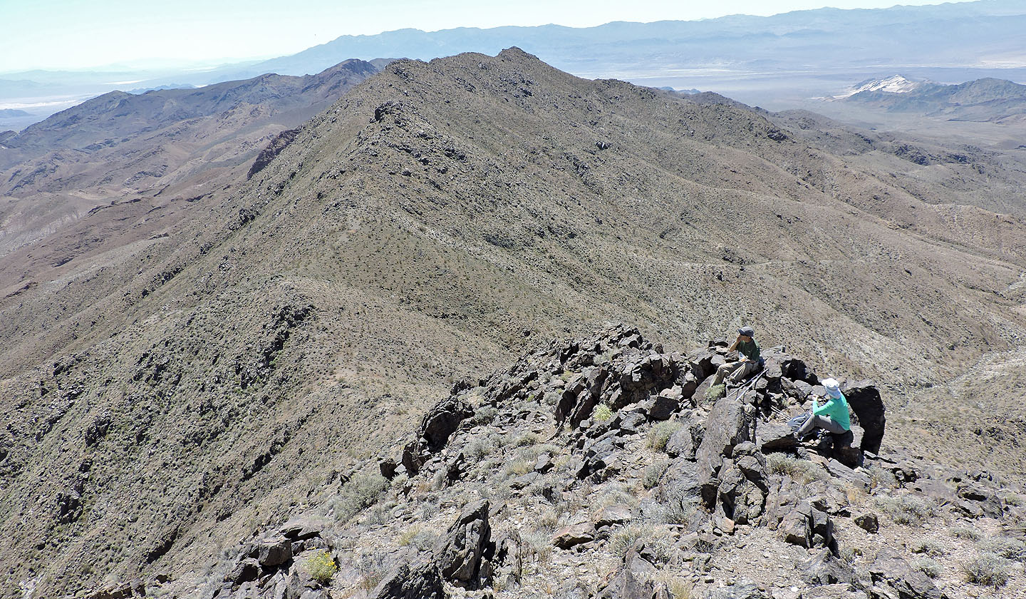
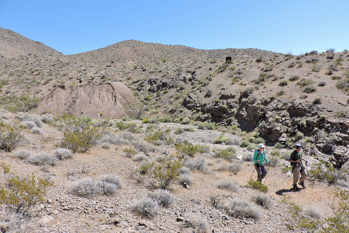
The old road was obvious until it dropped down into a wash on our right. We stayed in the wash until the road reappeared and climbed up the lower slopes of Ibex Peak. Just before the road reached a pass, we set off up the northeast ridge. The ridge takes in a few minor bumps before curving around to meet the apex of Ibex. We didn’t stay long on the summit as we were soon covered in tiny flies. They didn’t bite, but they sure were annoying. We took photos, signed the register (last signed exactly one year ago), and fled down the other side of the ridge. We had lunch in a quiet spot among the rocks.
A trip to Ibex Peak wouldn’t be complete without stopping at American Mine one kilometre southwest of the summit. Copper, silver, lead and gold were extracted from several tunnels until it closed in 1938.
We dropped down to the south col and then made our way down a wash. Narrow and rocky at first, the wash eventually eased into a broad, gravelly floor. When we spied tailings on our left we knew we had reached the mine. Above the tailings we found a mine entrance with a signpost that read “New American Mine.”
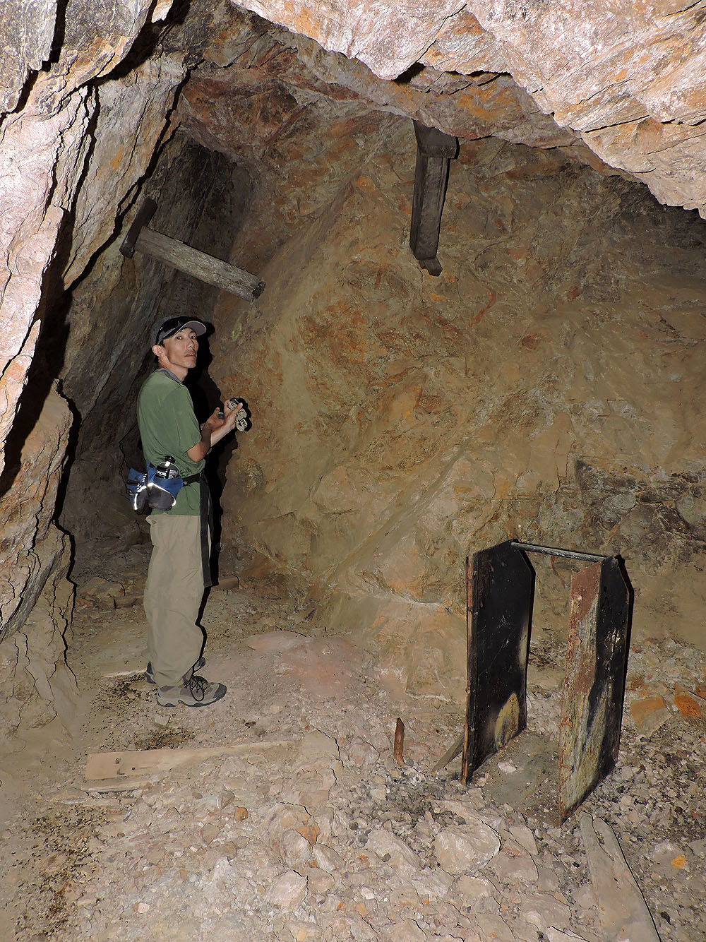
I’ve always been careful around old mines and had never entered one before. But after Shin went in and deemed it safe, I grabbed my headlamp and entered. Inside I found a narrow tunnel bounded by solid rock. Shin was already well down the tunnel, out of sight. I walked down the tunnel while carefully avoiding planks – some with nails – that lined the sides. Then my headlamp picked up the figure of Shin waiting for me in the dark. I followed him deeper into the mine, our headlamps pushing aside the pitch-blackness.
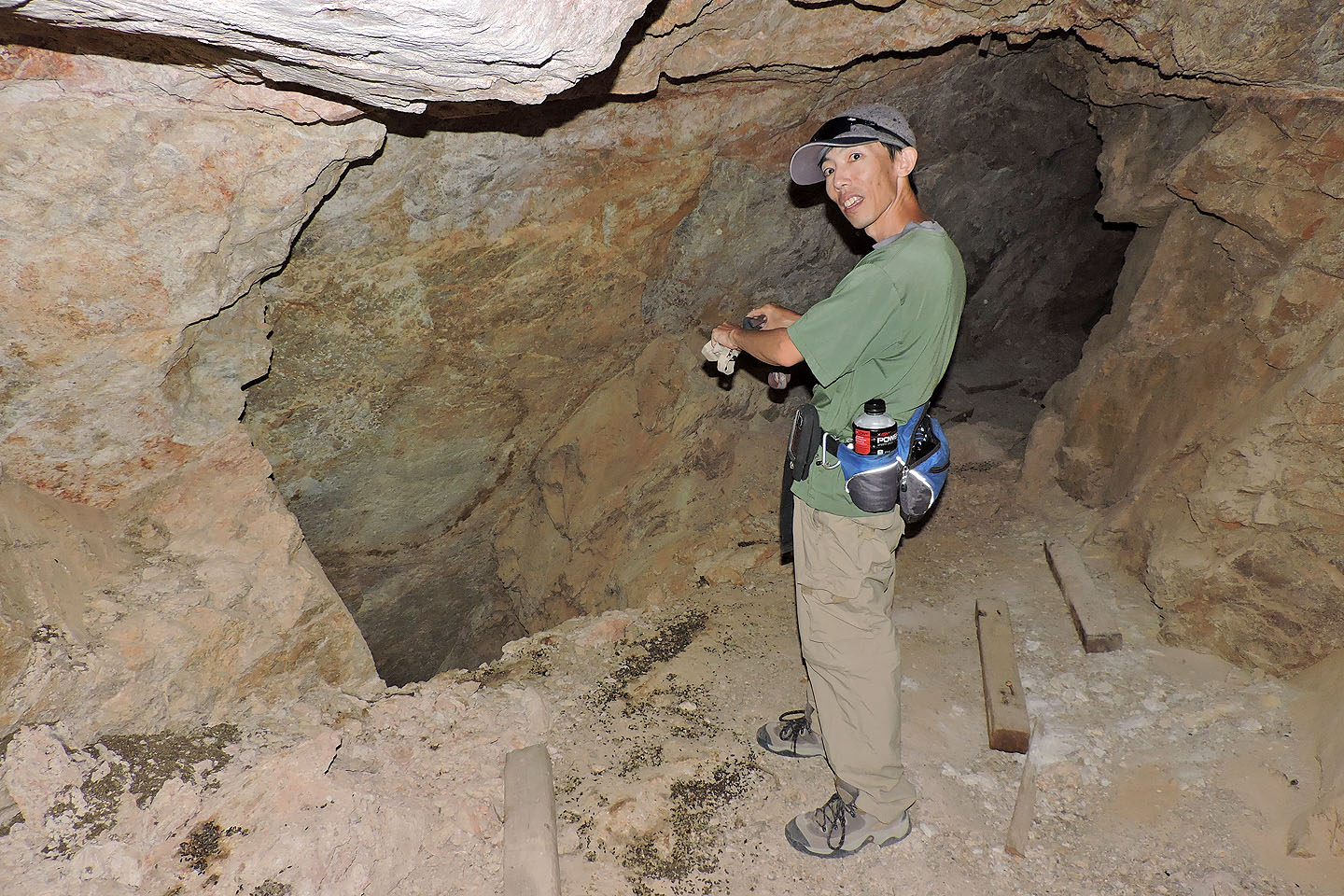
Eventually we came to a tiny chamber lighted by a vertical shaft running to the outside. We were 53 m from the entrance (a fact I later established using my GPS on the surface), but we still hadn’t reached the end. We covered several more metres until we hit a wall and a vertical shaft. Shin and I turned back and emerged into blazing sunlight to join Dinah. While this tunnel appeared safe, I don’t recommend going into any mine. Abandoned mines are constantly deteriorating and are likely to be dangerous.
The three of us then poked around the surface of the mine site. We found piles of rusted cans, a bedspring and other discarded odds and ends. We saw other tunnels but didn’t venture into them. After 45 minutes of perusing the site, we got back on the old road and followed it back to the trailhead.
Ibex Peak is unique in that it offers both a summit and a glimpse of mining history in Death Valley. We enjoyed both.
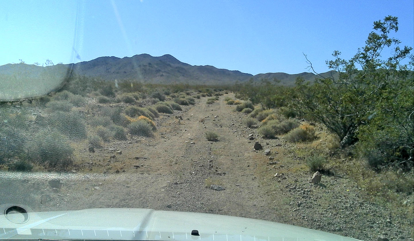
We had no difficulties driving 2 km up the access road to the trailhead
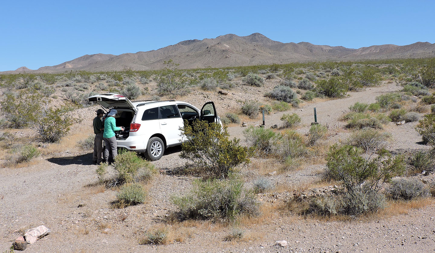
The trailhead: motorized vehicles are not allowed past this point
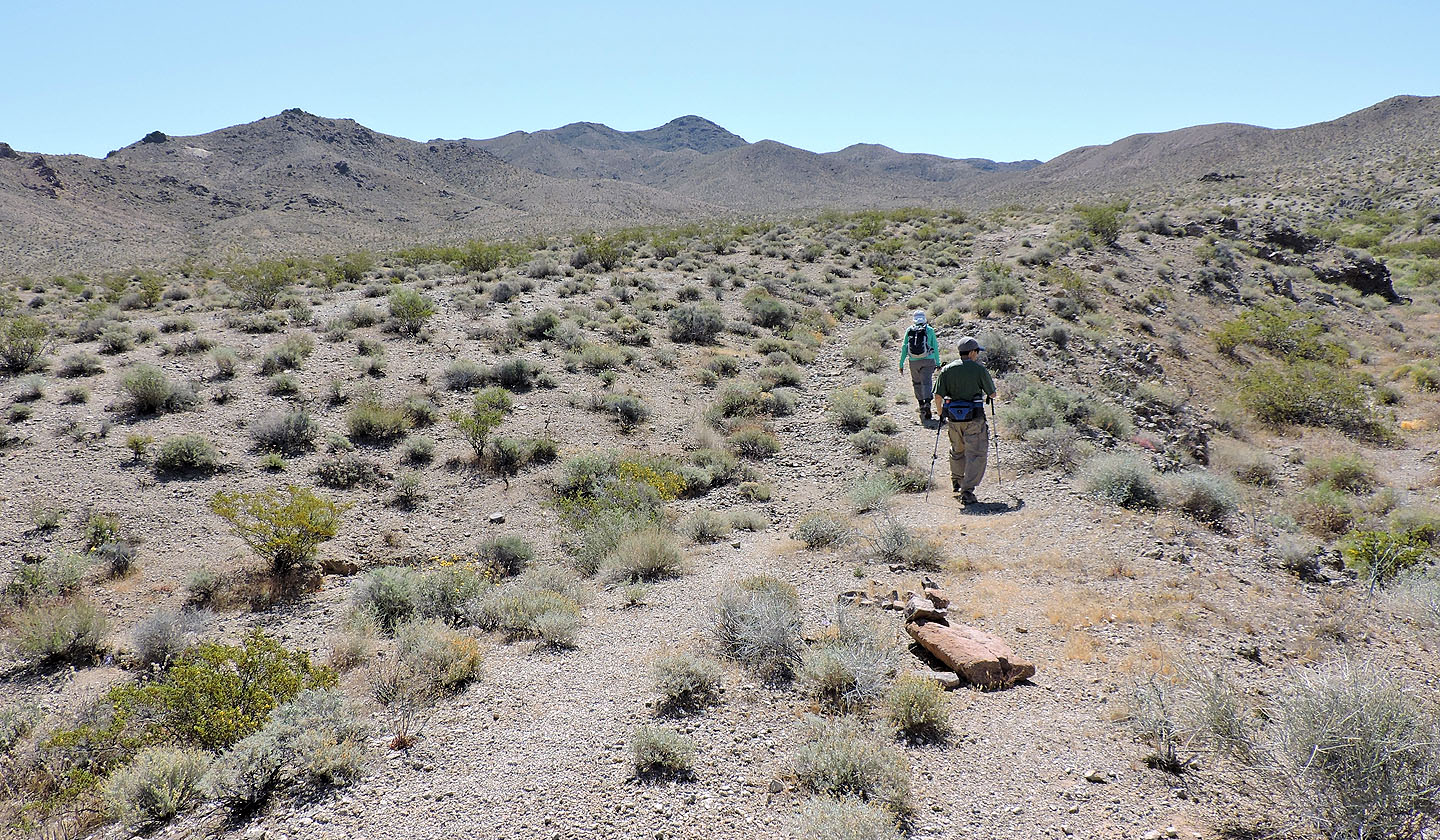
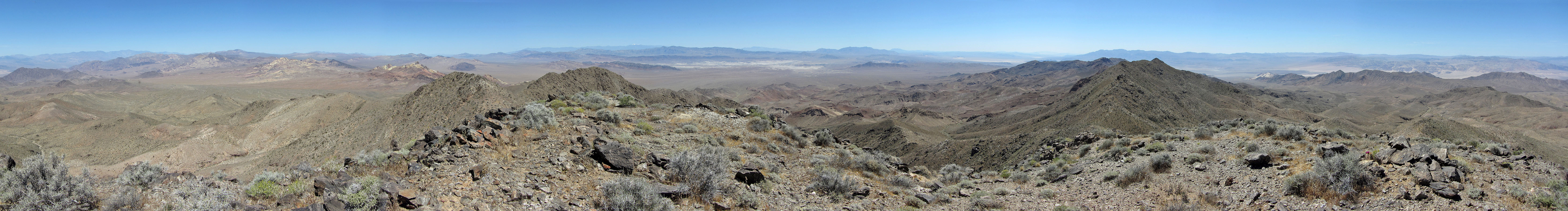
Ibex Peak is in the centre
The road, which has disappeared over time here, drops into a wash on the right
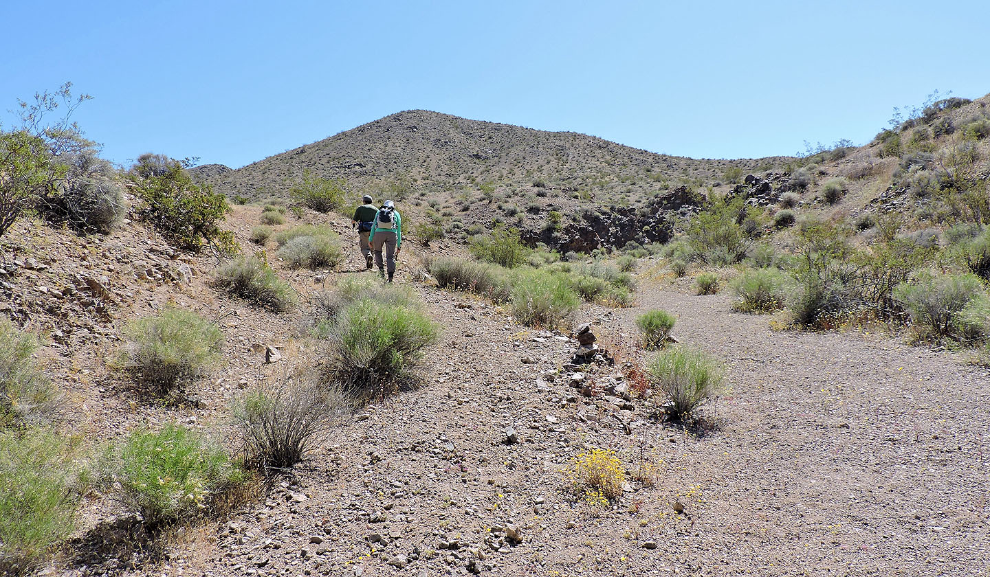
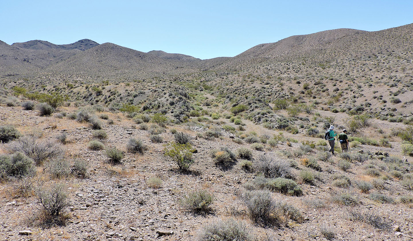
We stayed in the wash until we came to the road climbing out
Before the road drops down, we left it and started up the ridge
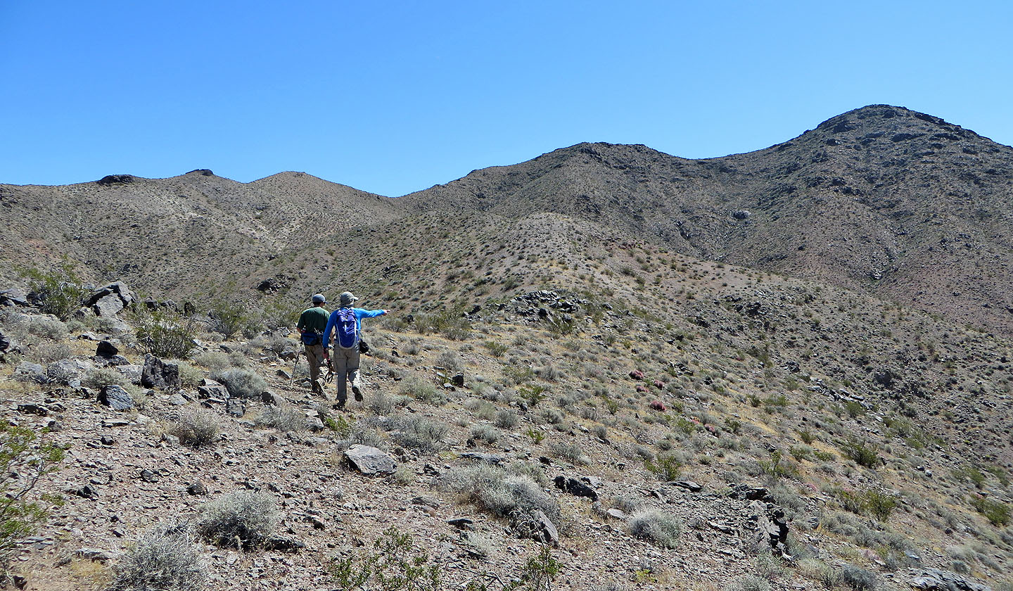
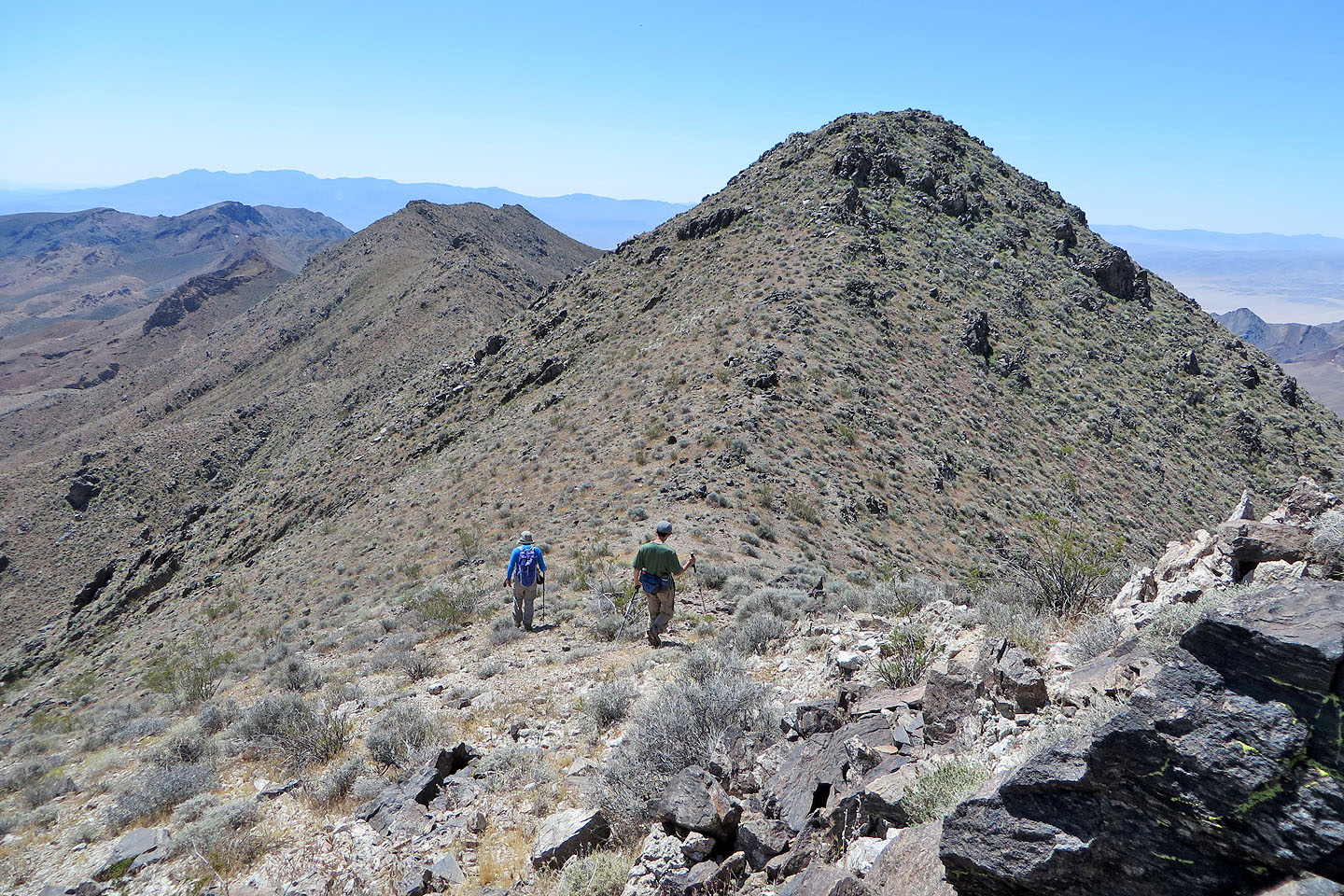
A circuitous ridgewalk will take us to the summit on the right
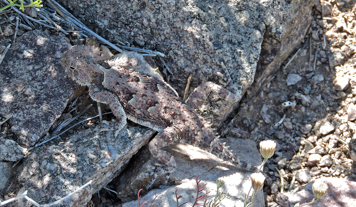
This horned lizard is well camouflaged
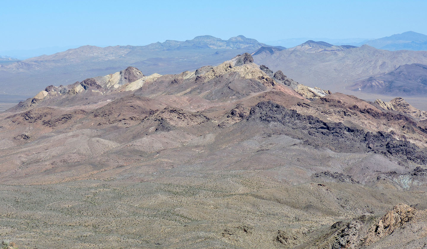
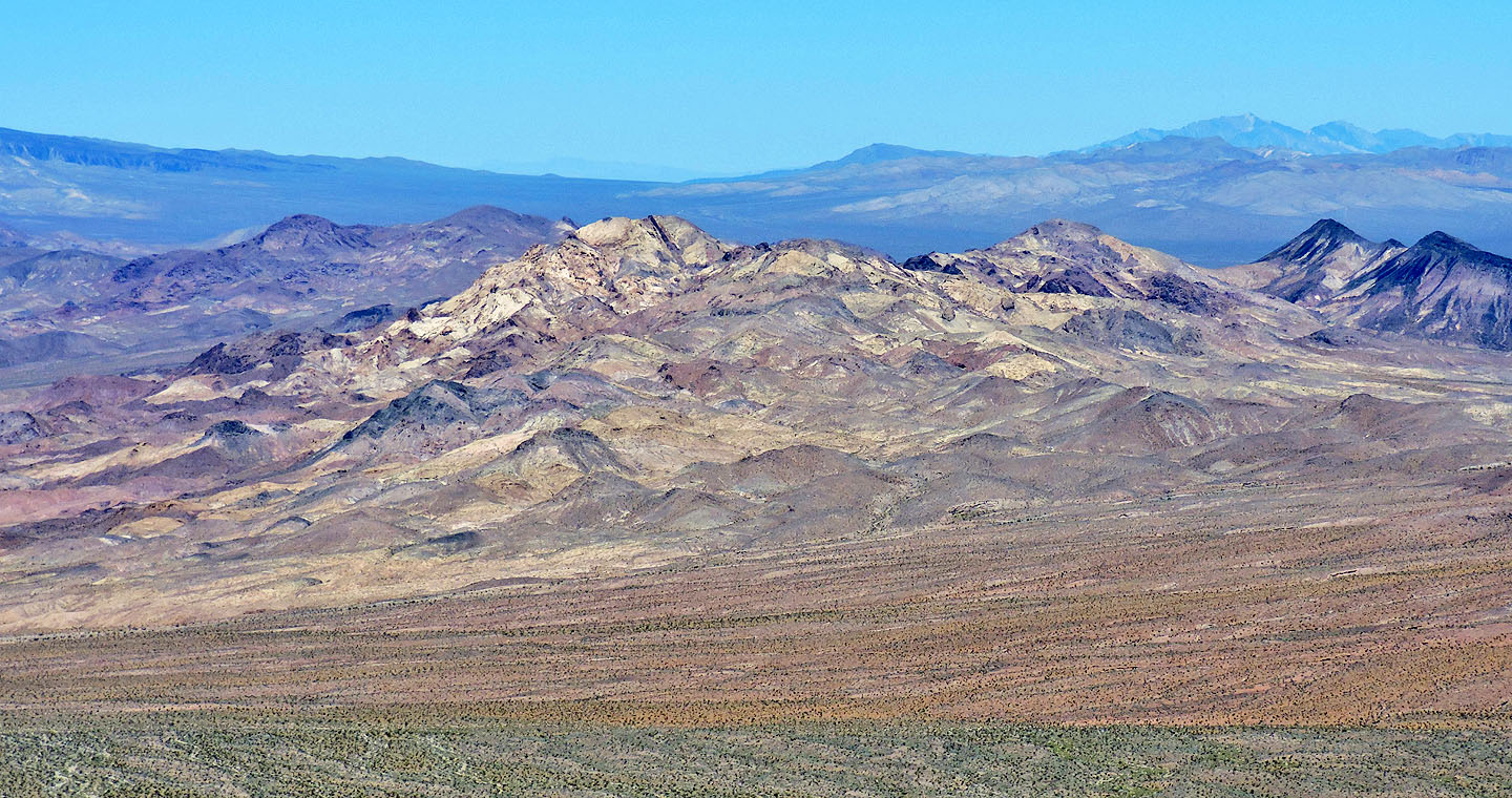
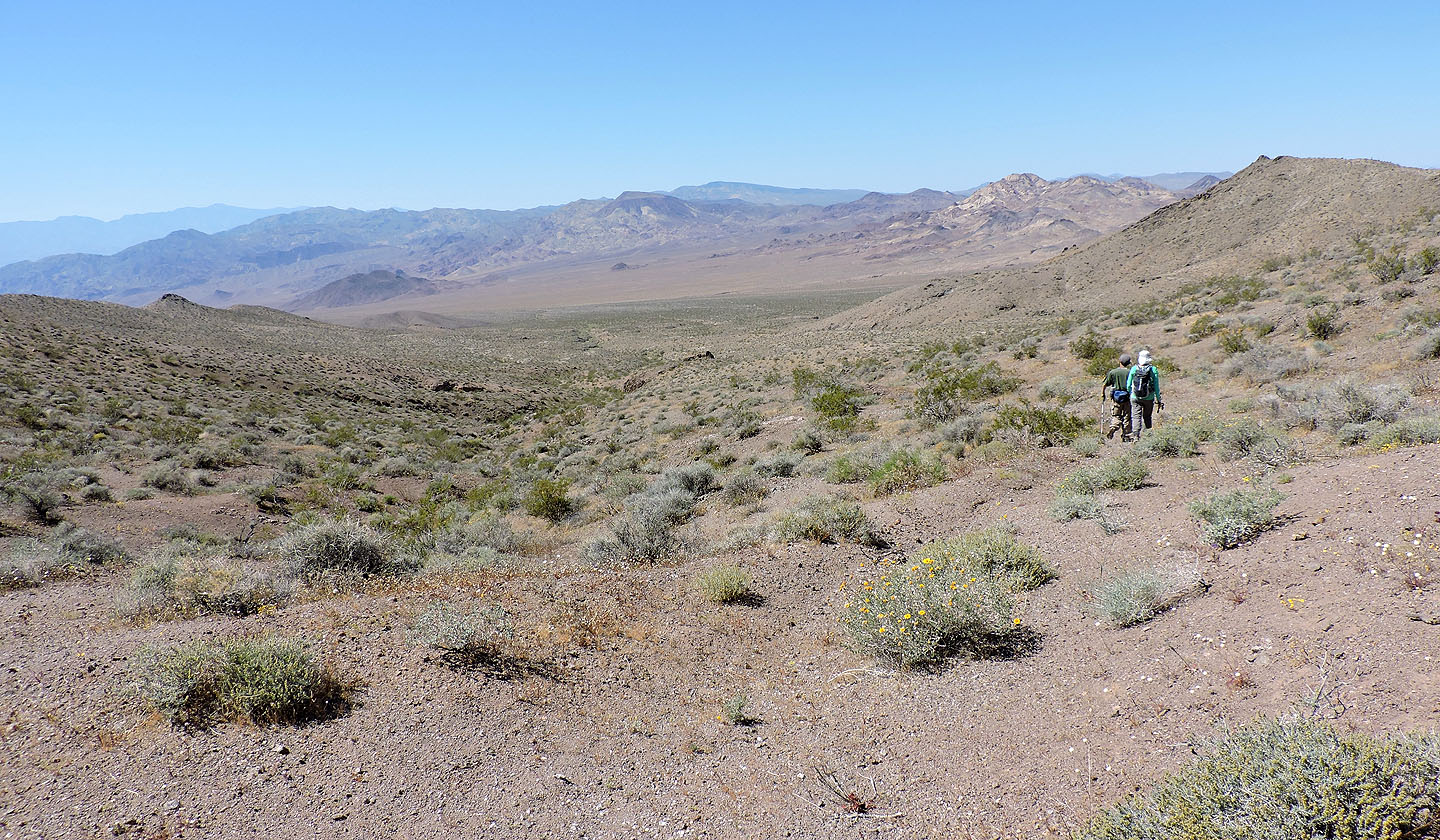
To the south is multicolored Sheephead Mountain
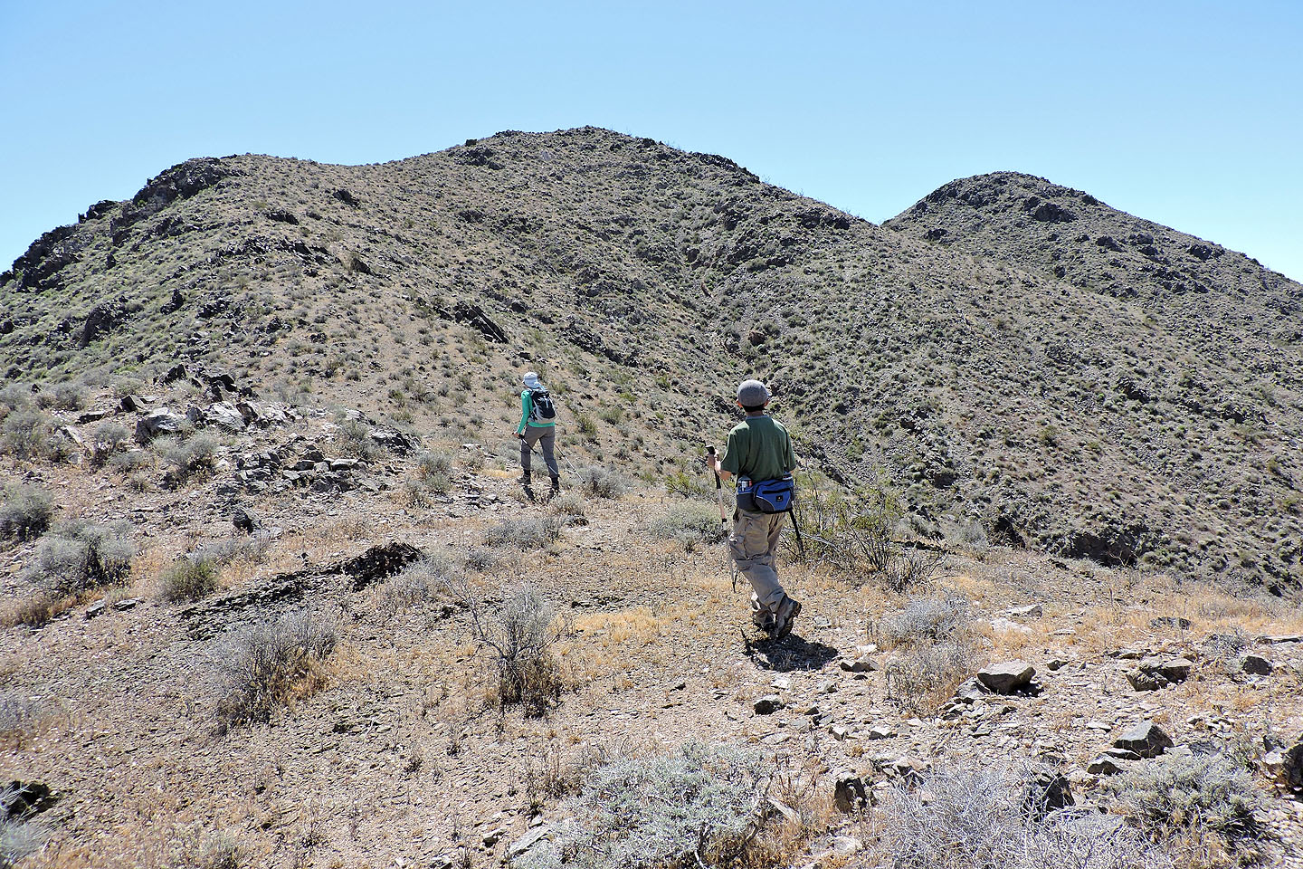
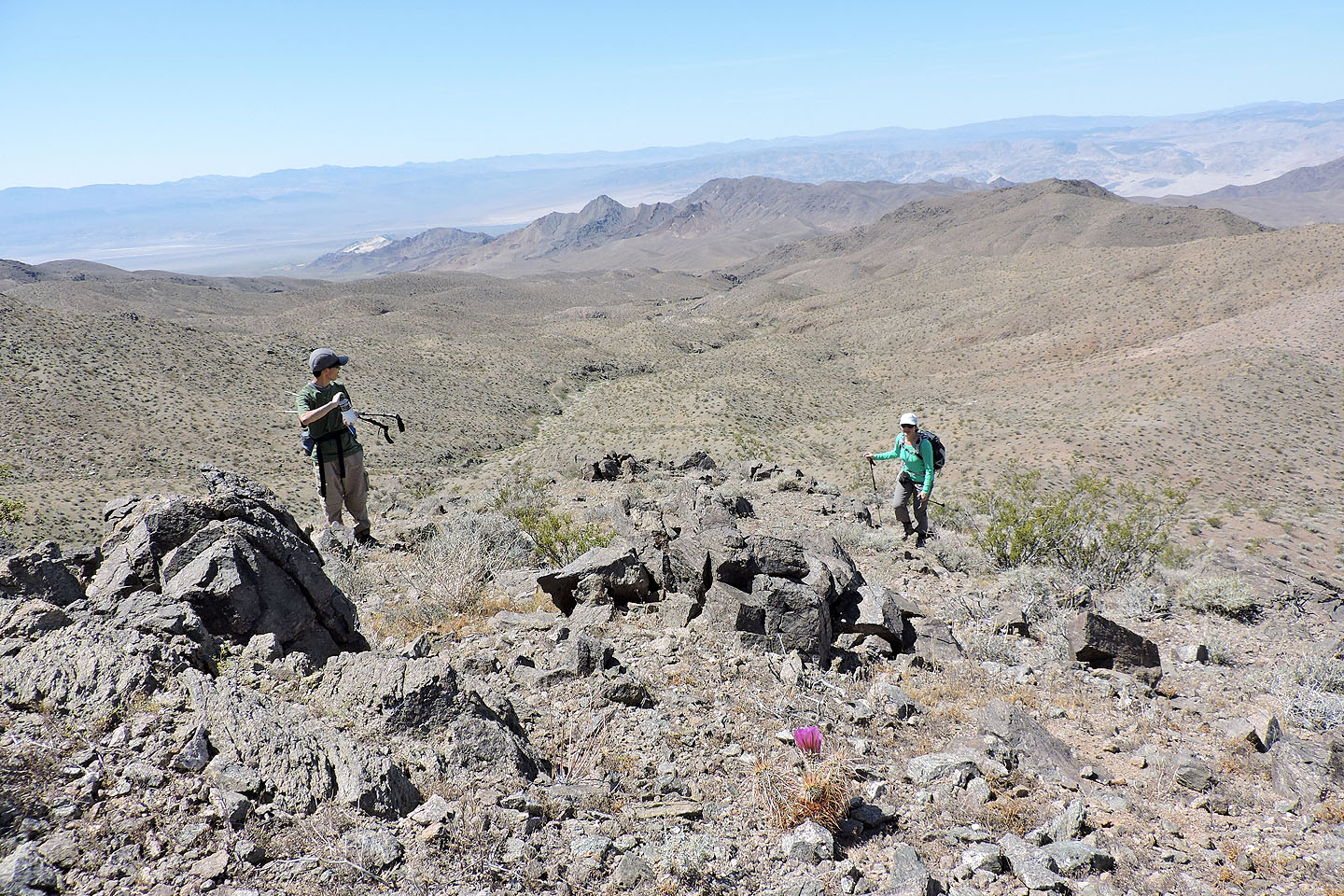
Still following the ridge to the summit
Salsberry Peak to the south
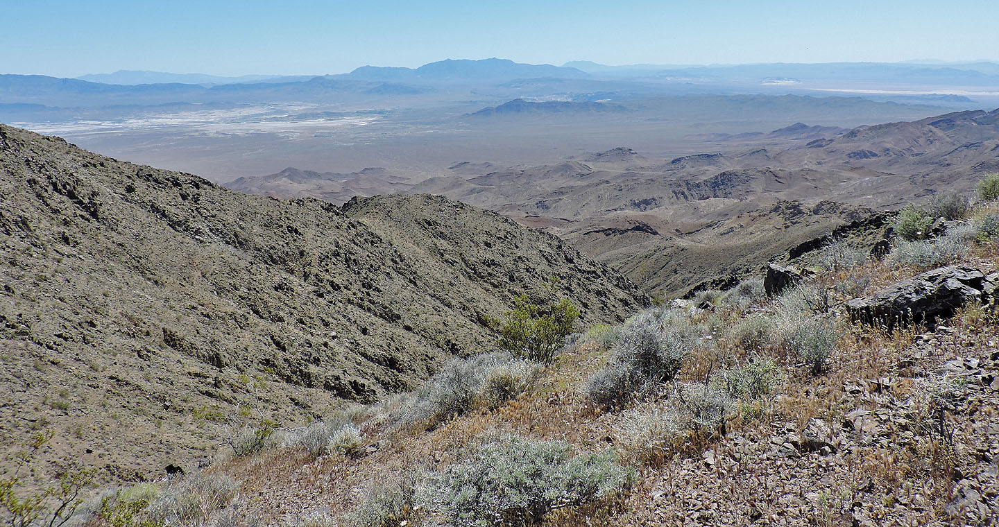
14 km to the east is tiny Tecopa Peak (mouse over)
We reached the summit in under two hours
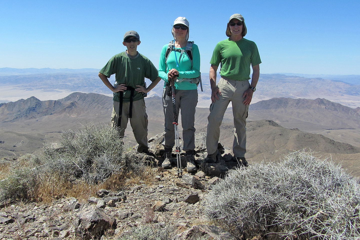
Shin, Dinah and I on Ibex Peak
We had lunch below the summit
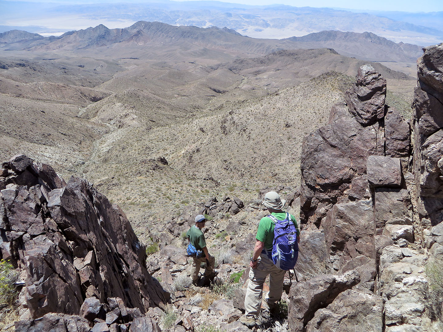
We followed the rocky south ridge to
a col
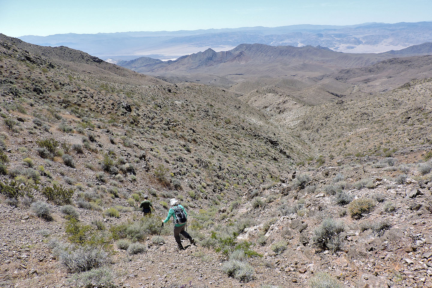
From the col we made our way down to a wash
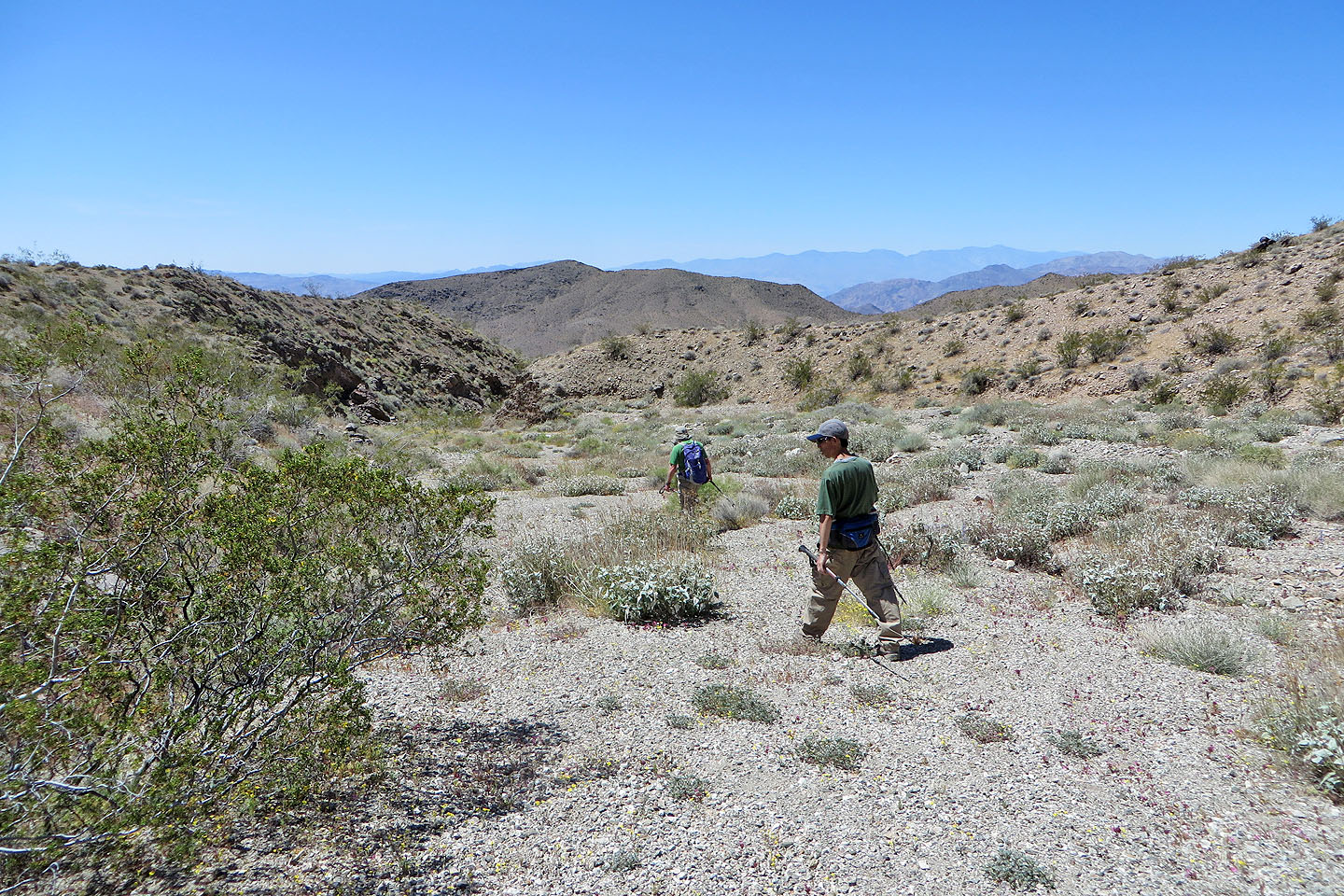
Pleasant hiking at the bottom of the wash
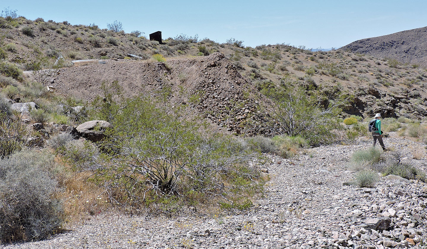
An outhouse and a pile of tailings indicated the mine's location
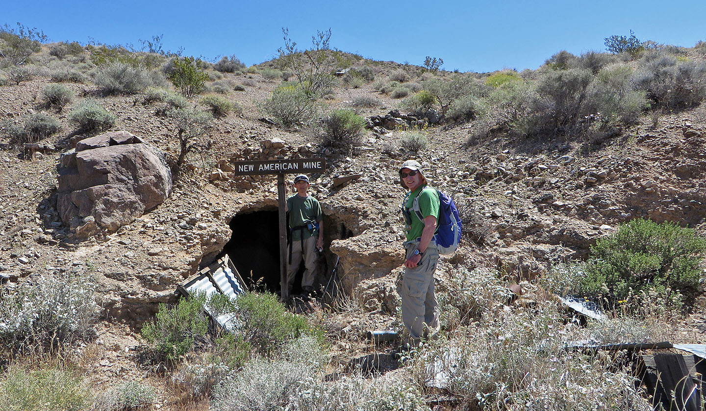
Mine entrance
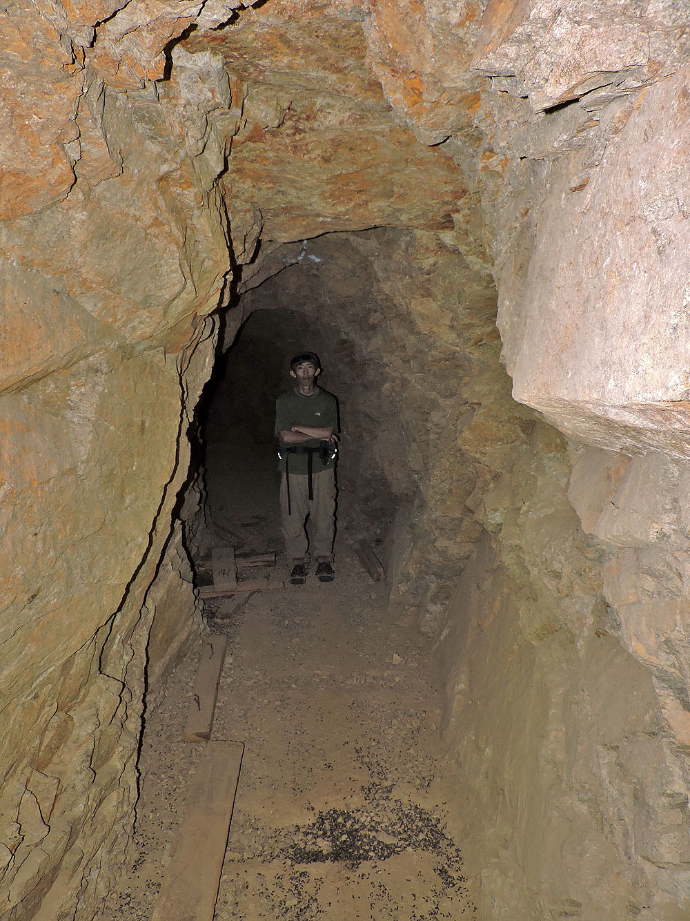
Shin waits for me deep in the mine
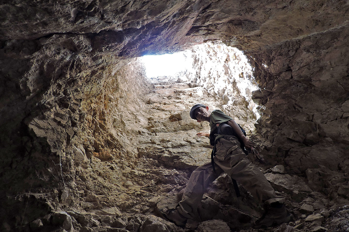
Peering up a vertical shaft 50 m from the entrance
We continued deeper into the mine
End of the tunnel. The vertical shaft was too deep for my camera flash, but a long
exposure using our
headlamps revealed a ladder below (mouse over).
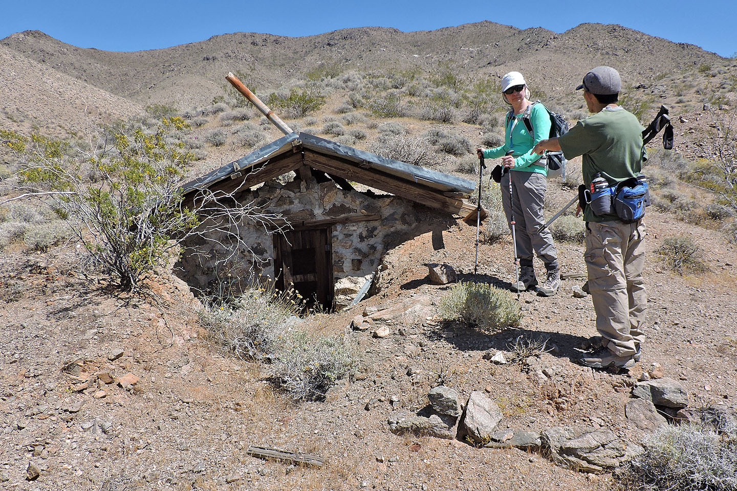
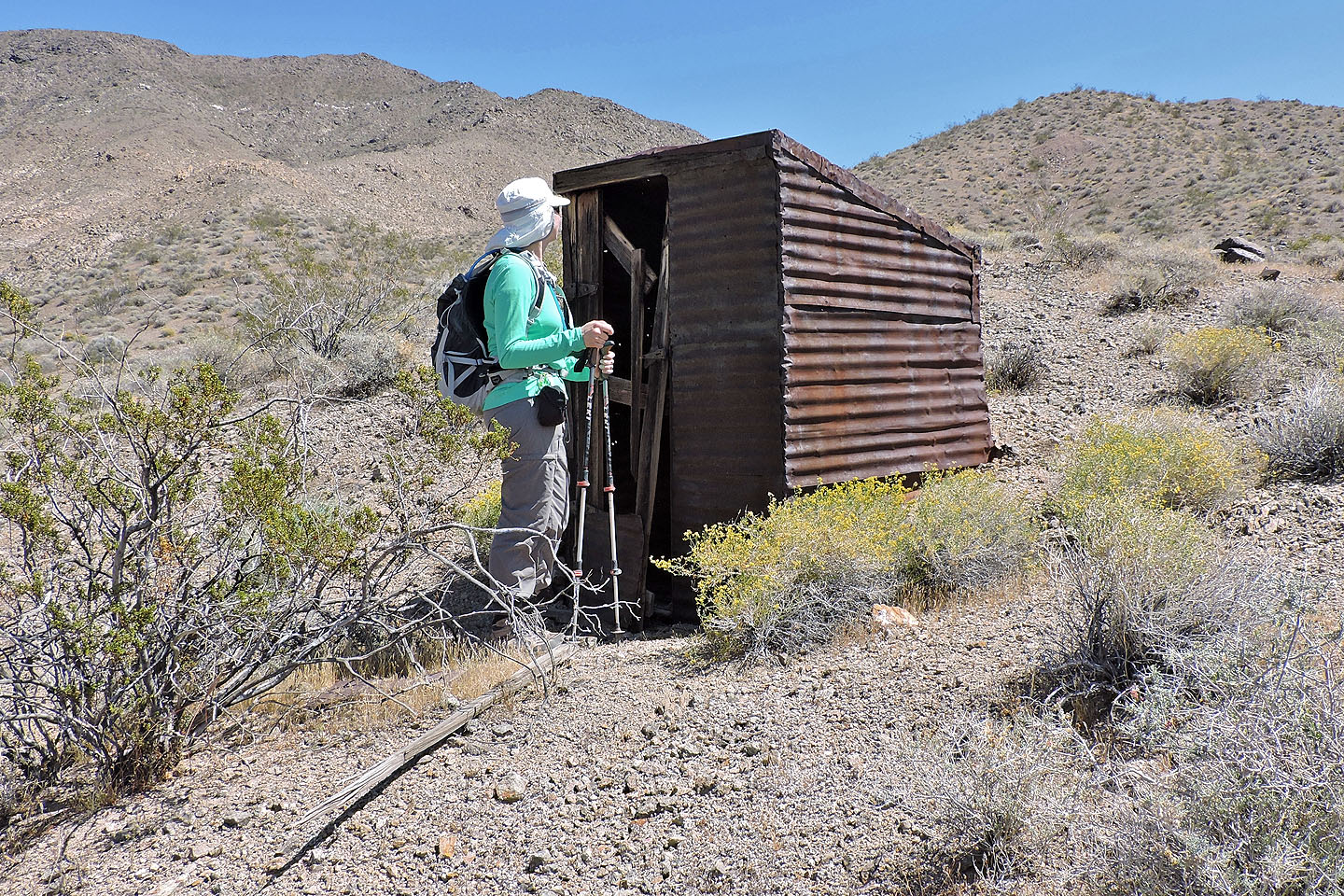
Back on the surface we investigated a tiny stone building. Too small to enter, I wondered if it held TNT.
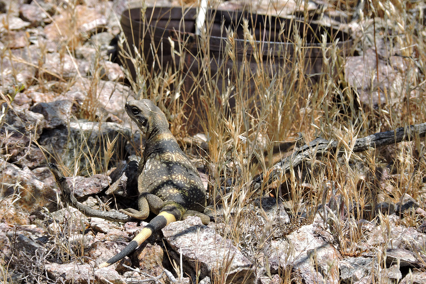
A chuckwalla poses by an iron bucket (mouse over for a closer look at the lizard)
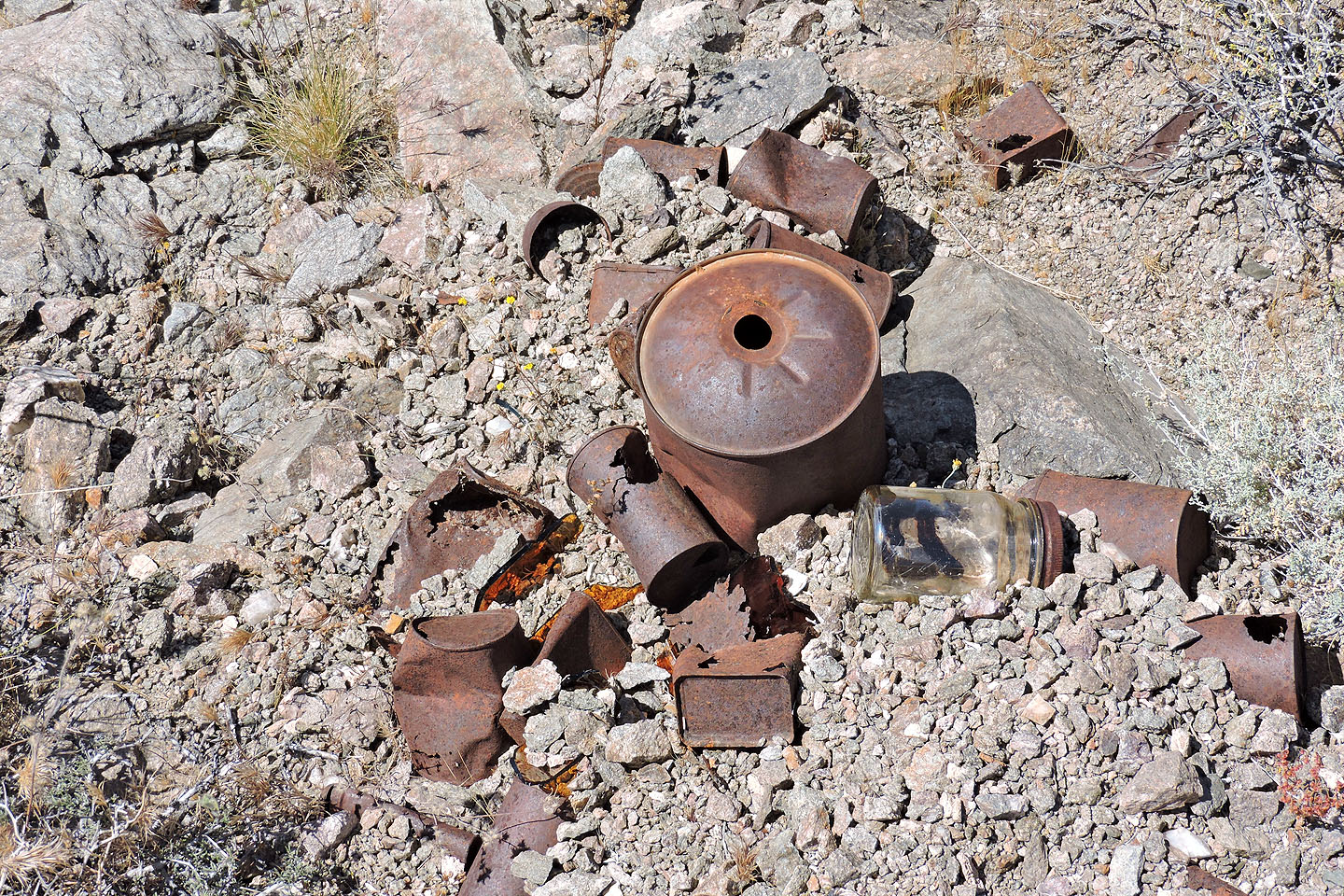
Hundreds of rusted cans littered the area
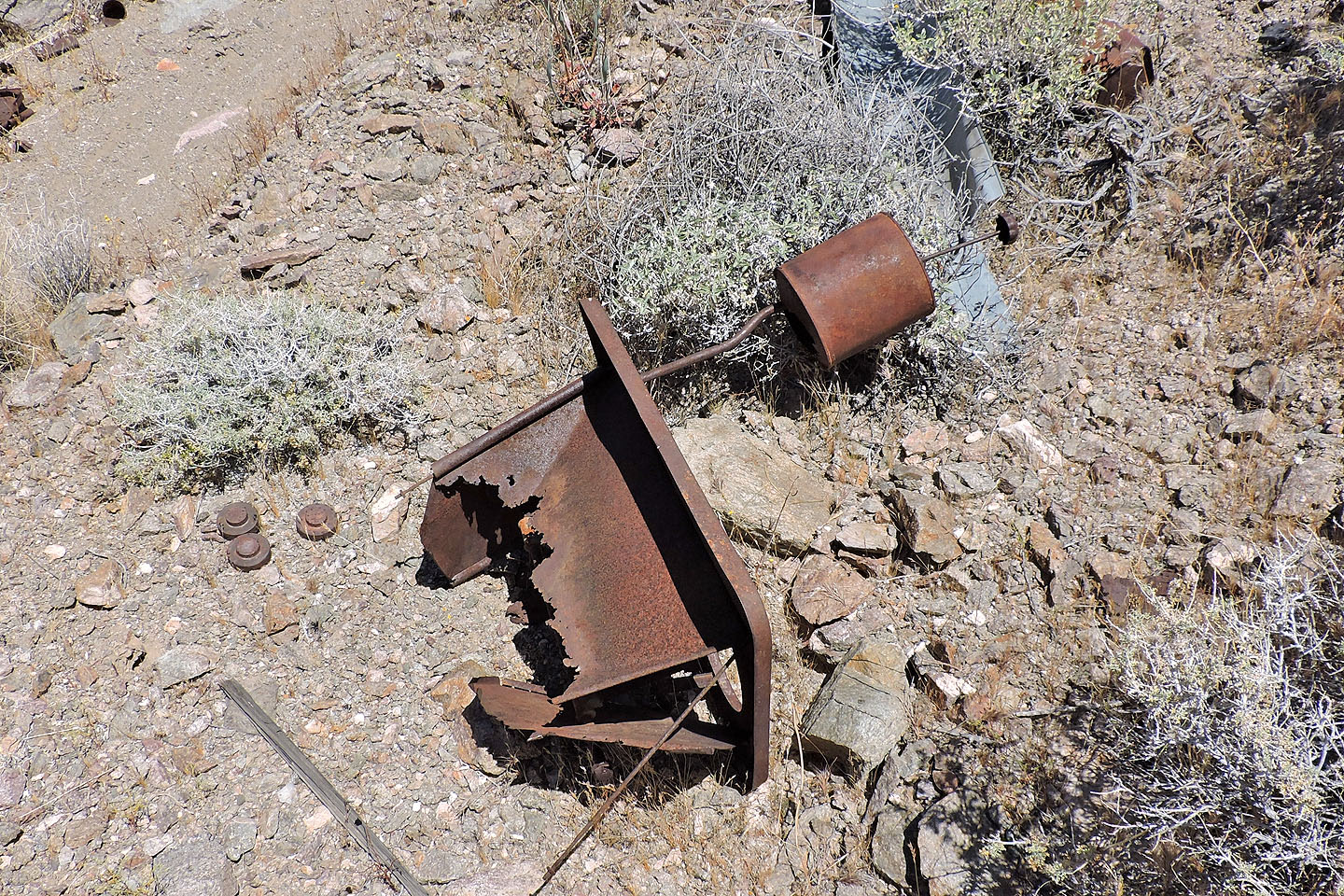
Instruments of another age
Dinah checks out the outhouse
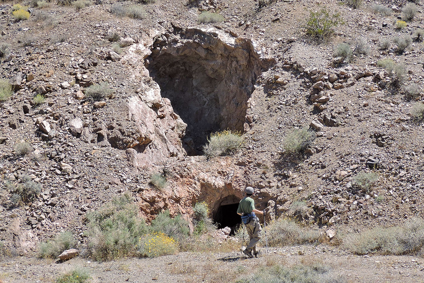
Shin looks at another mine entrance
We left the mine and started down the road
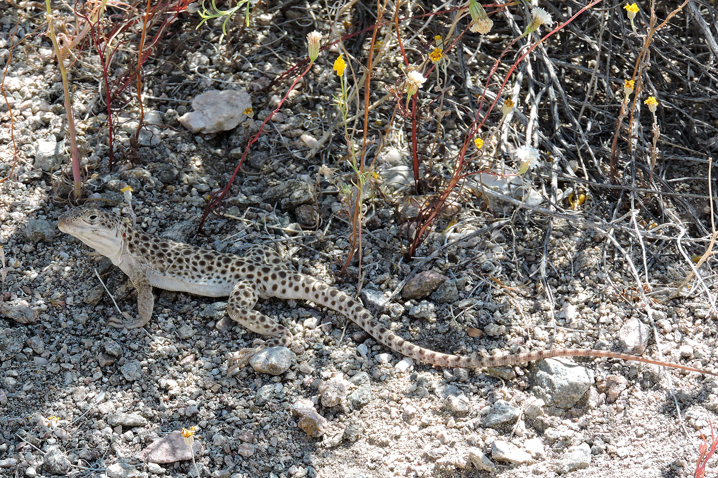
Leopard lizard (mouse over for a closer look)
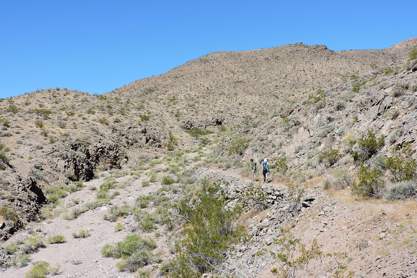
The road crosses a wash before climbing the slope ahead where we'll pick up our point of ascent
We followed the road back to the trailhead
Salsberry Peak, Ibex Springs (6.4 mi, 4721 ft, 1716 ft)