bobspirko.ca | Home | Canada Trips | US Trips | Hiking | Snowshoeing | MAP | About
Wendell East Peak
Kananaskis, Alberta
April 28, 2006
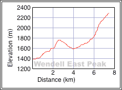
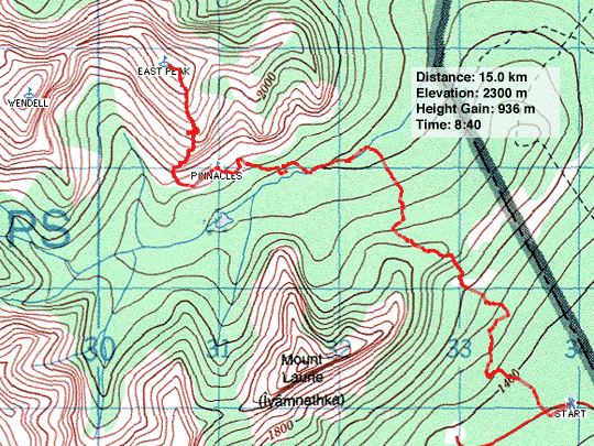
Distance: 15.0 km (9.3 mi)
Cumulative Elevation Gain: 1245 m (4085 ft)
Dinah and I had unfinished business on the Wendell East Peak. After nailing down most of the route amid fascinating landscapes on the scenic route on our February attempt, we wanted to return to bag this peak.
As before, we took the trail up to the east ridge of Mount Yamnuska and the horse trail down to the CMC Valley logging road. We hiked up the road for about 500 m where the slope on the right opens up and we headed to the pinnacles. (We didn't start taking photos until just before the pinnacles. See our attempt for photos at the beginning of the route.)
We made poor time however. Dinah was slow and she required frequent rests. She was recovering from the flu and was still weak and nauseous. She wasn't sure how far she would be able to go. But it was a beautiful day, and we were in no hurry to get back.
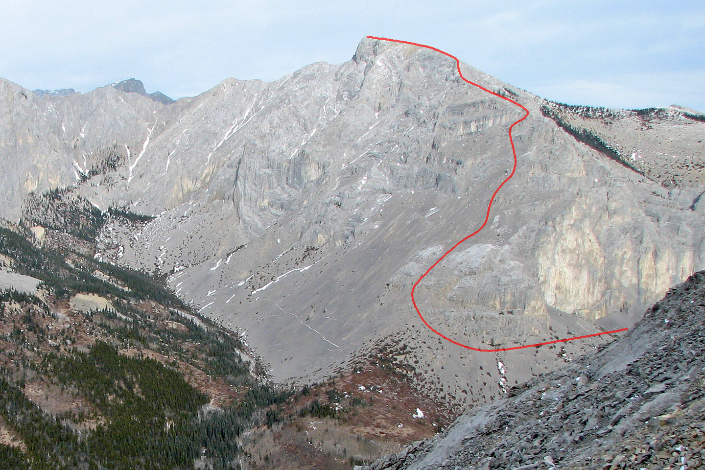
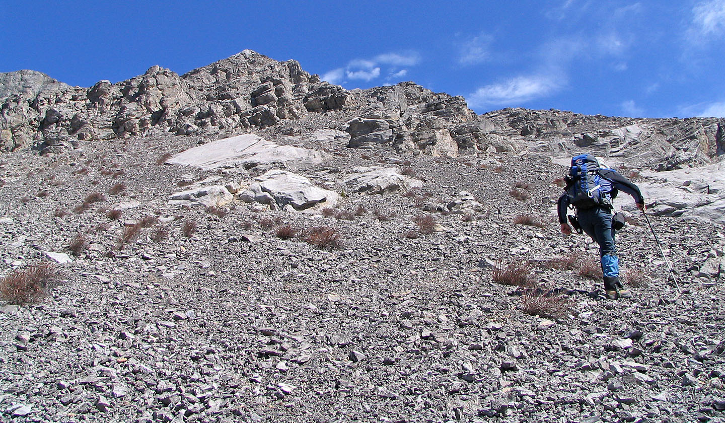
After resting at the pinnacles, we continued to the lower slopes of the East Peak. Eventually we reached our turn-around point on our attempt. The way up from here seemed uncertain, but we soon caught a trail in the scree that headed towards a daunting rock wall.
Dinah was now on an adrenaline rush, her symptoms anesthetized in the bid to reach the summit. Her problems would return on the descent, but for now she was eager to pushed on. Before we reached the rock wall, we found a break that led to the ridge crest. From there it was a gentle grade to the summit.
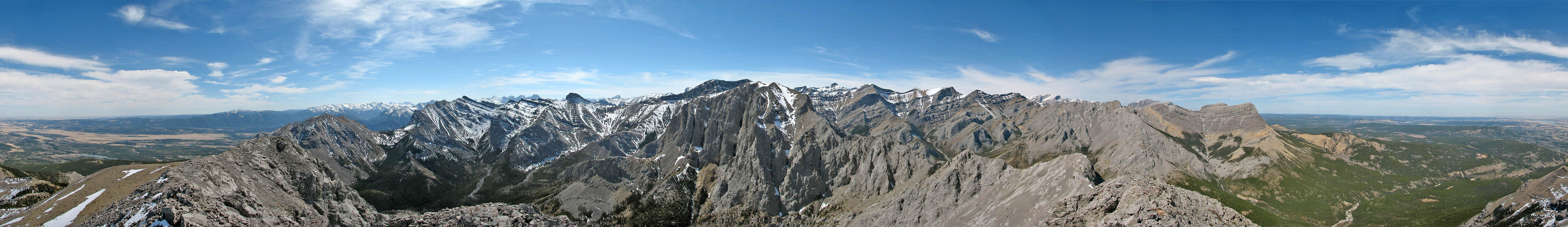
Despite the altitude and a breeze, we were comfortable lounging on the summit without jackets. We spent half an hour studying our surroundings. Wendell Mountain looked rugged, while Association Peak appeared benign save for an extended approach.
We were glad to summit of course, but it seemed anticlimactic. The real excitement was on our attempt when we explored the canyons and searched for a way up the East Peak.
Postscript: I returned in December and discovered that the East Peak can also be reached by ascending the East End of Wendell via a route that offers interesting scrambling. Better yet, do a loop by combining both routes.
Our approximate route (photo taken from the
NE Ridge of Goat Mountain)
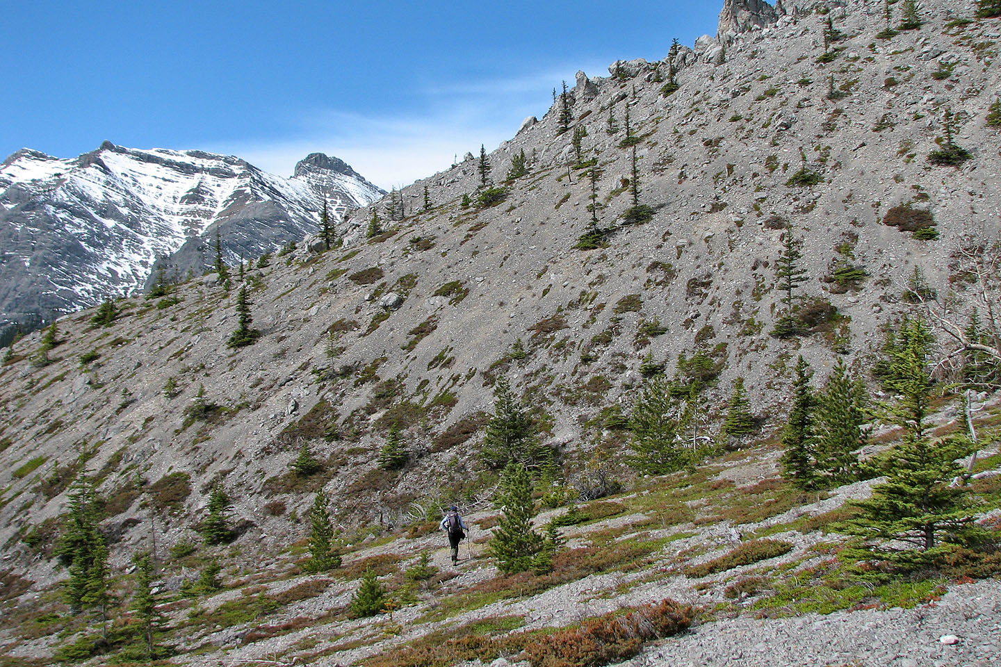
We headed to an animal trail on the scree slope below the pinnacles
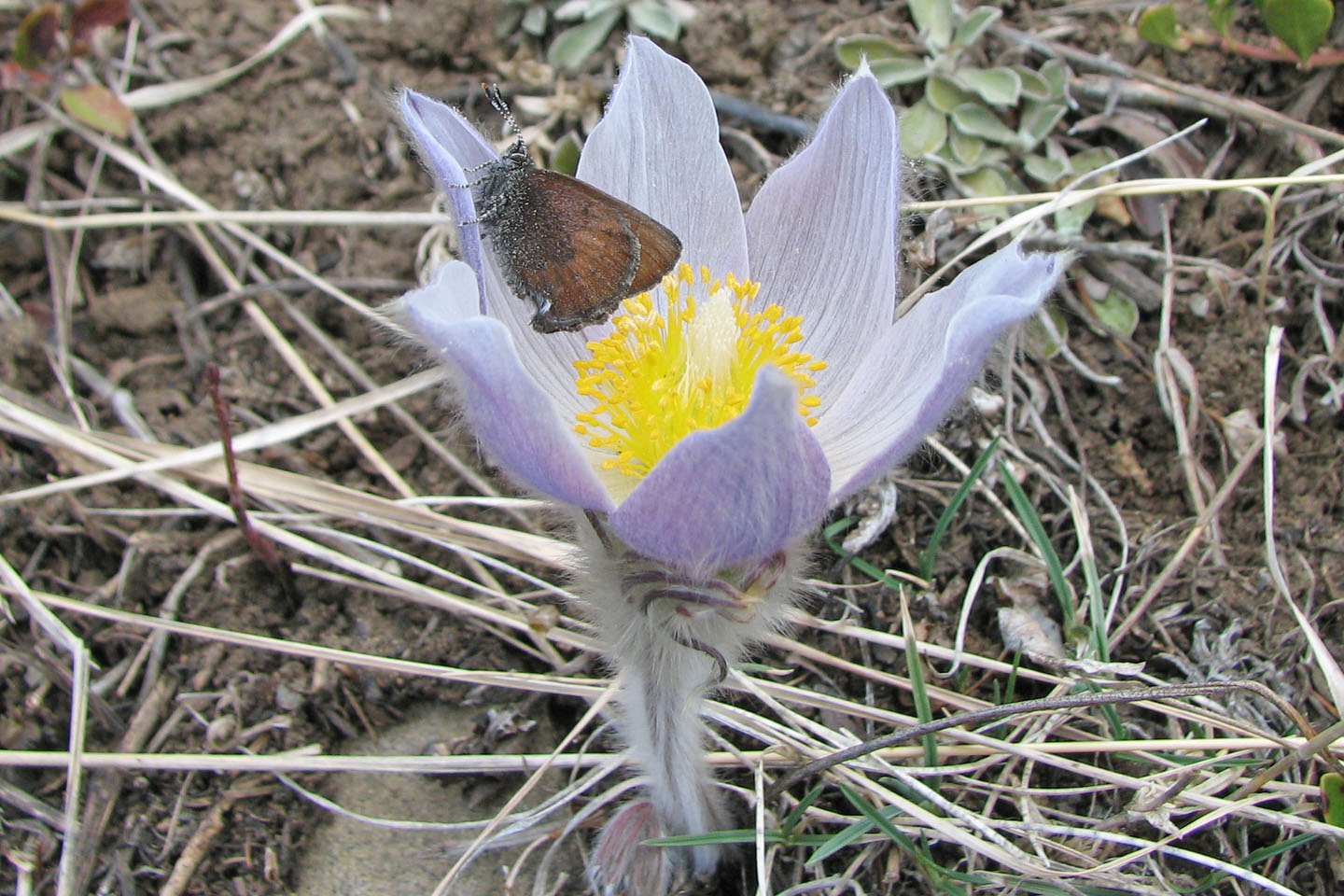
Harbingers of spring in the mountains
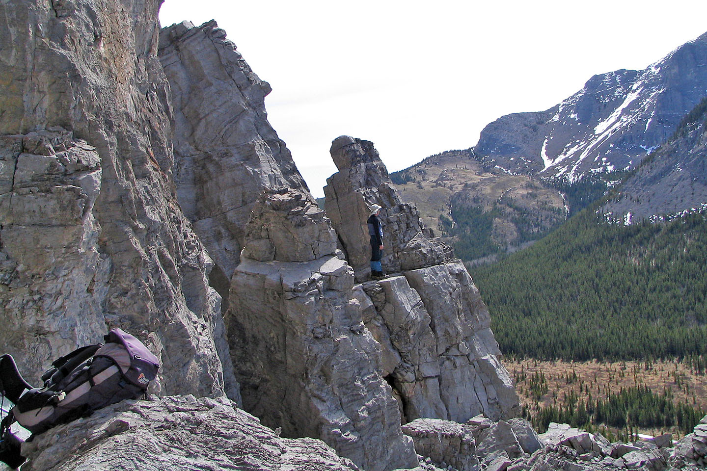
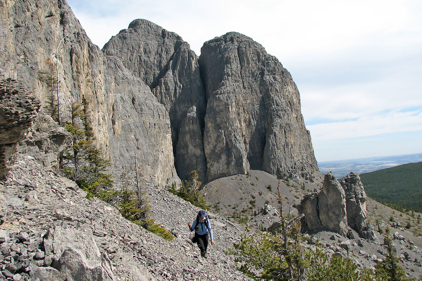
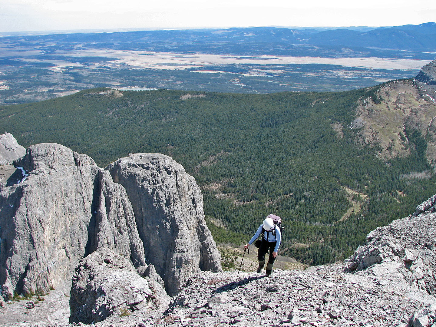
Taking a break on one of the pinnacles
At the pinnacles, we still hadn't regained the elevation lost from coming down the east ridge of Yam
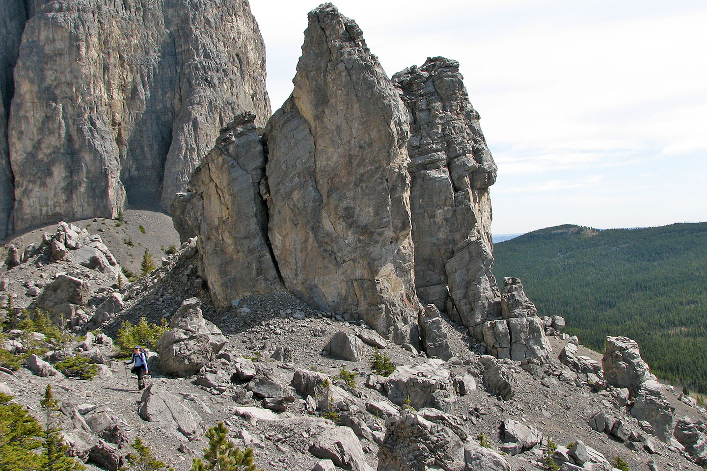
The view ahead after the pinnacles
Hiking around to the SW slopes below the summit
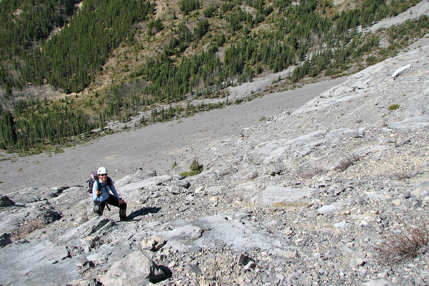
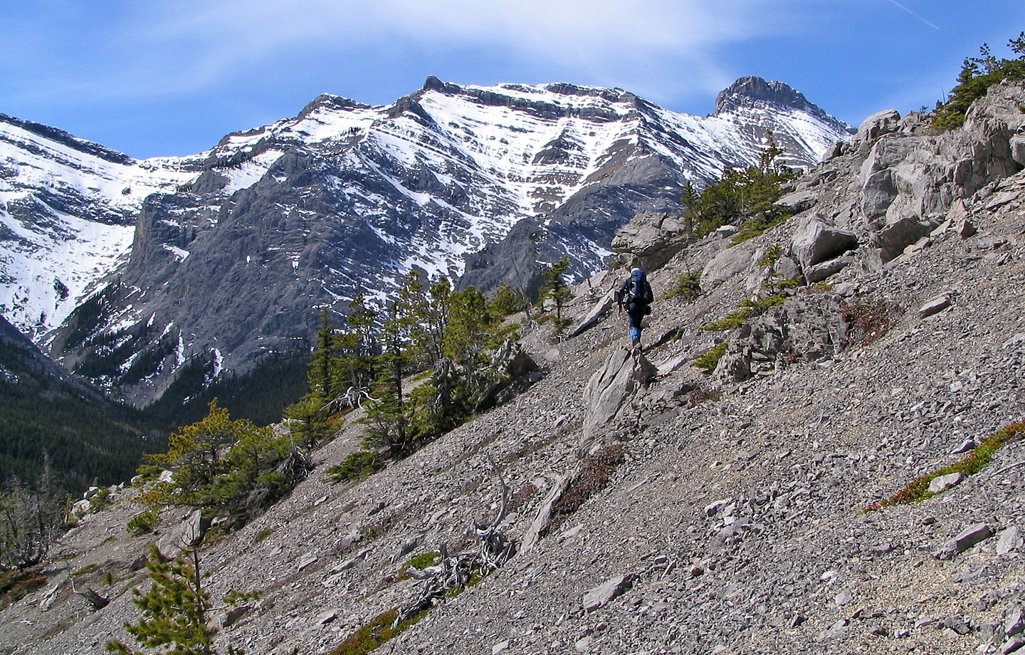
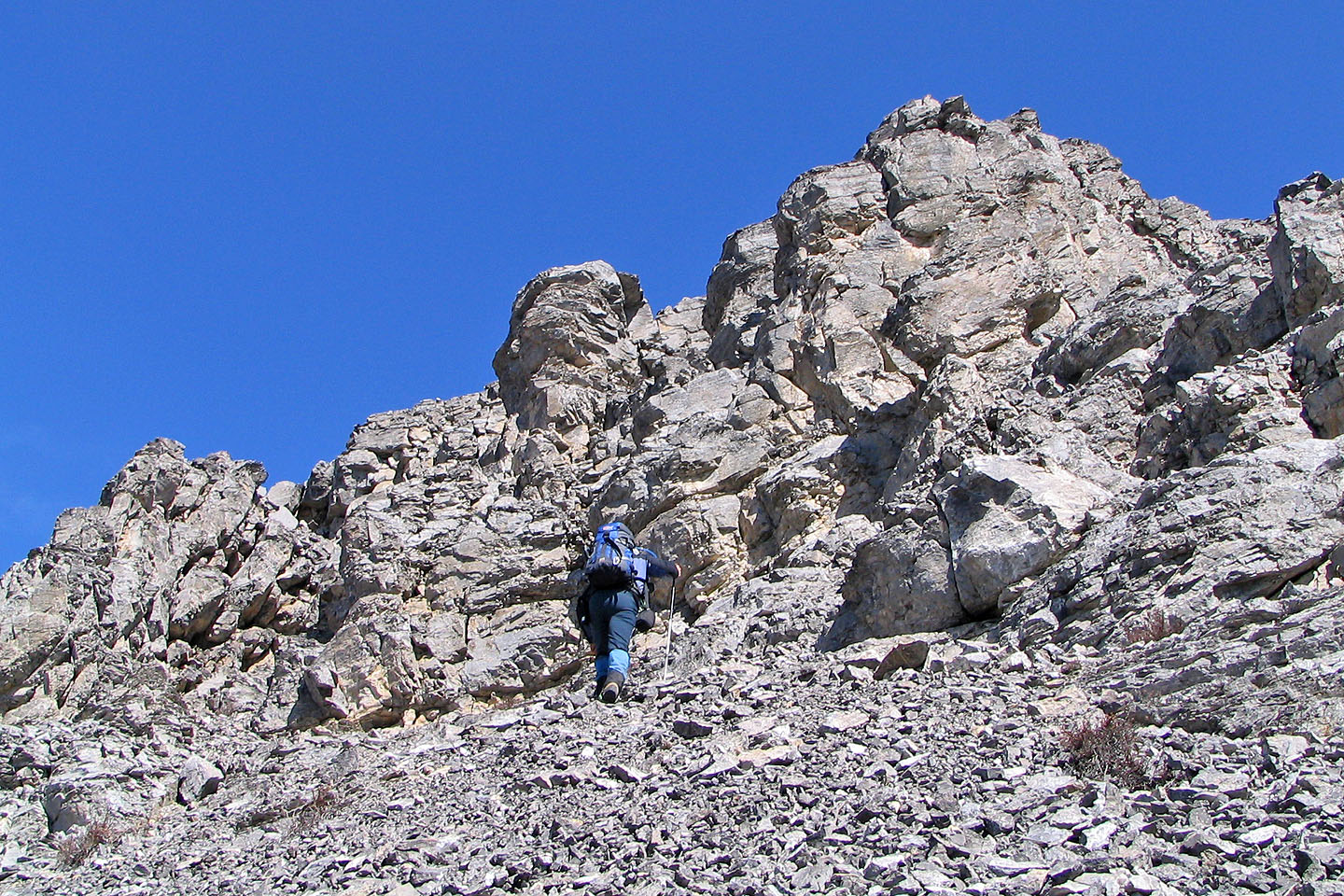
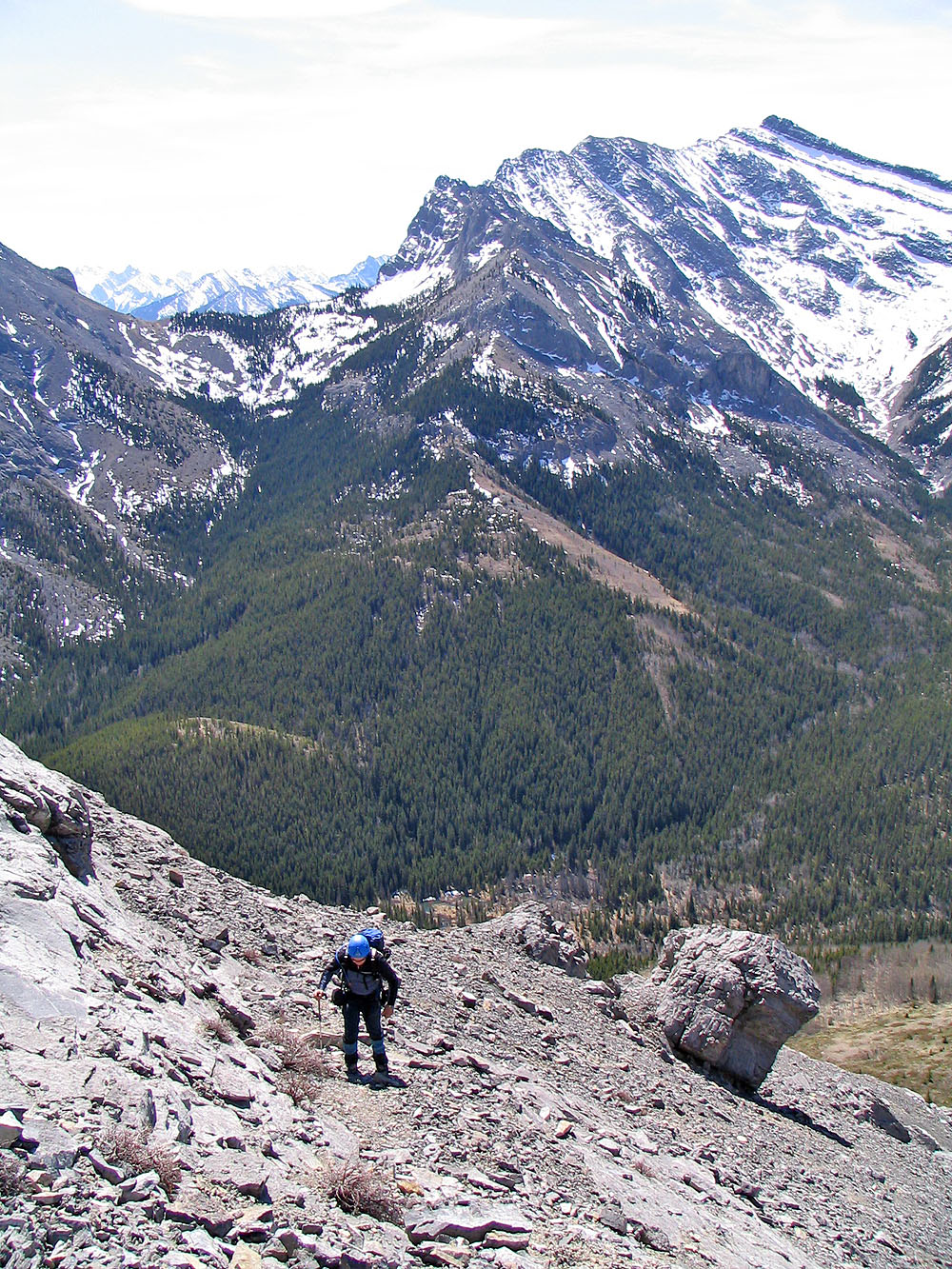
Ascending the lower slopes
Much of the terrain is scree mixed with slabs, with emphasis on the scree!
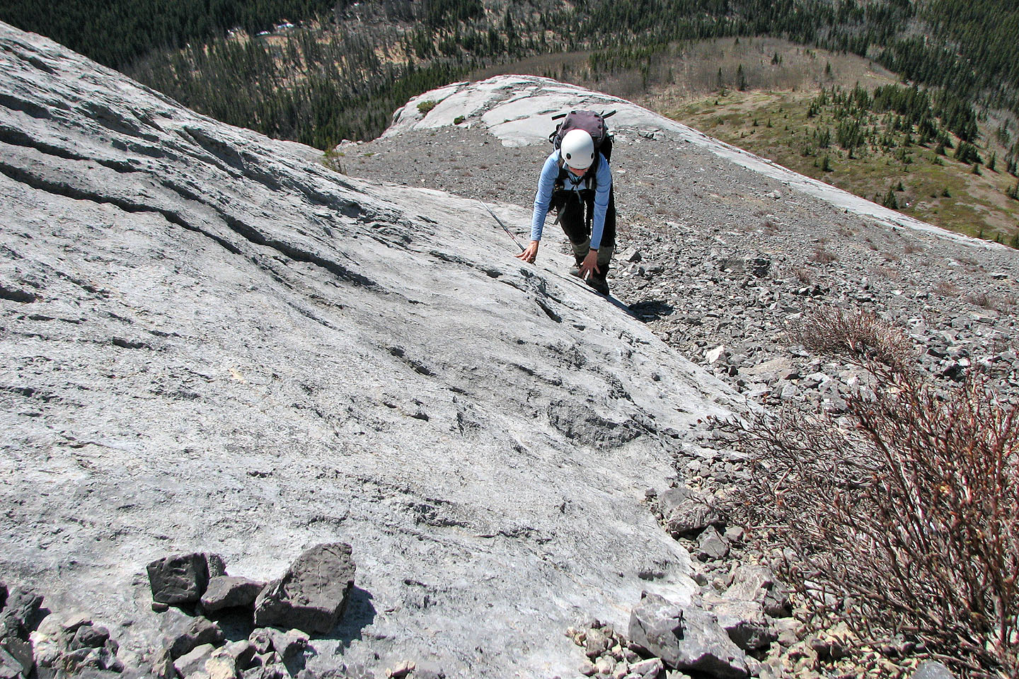
Heading to the cliffs above
We could have walked around the cliffs but we scrambled up
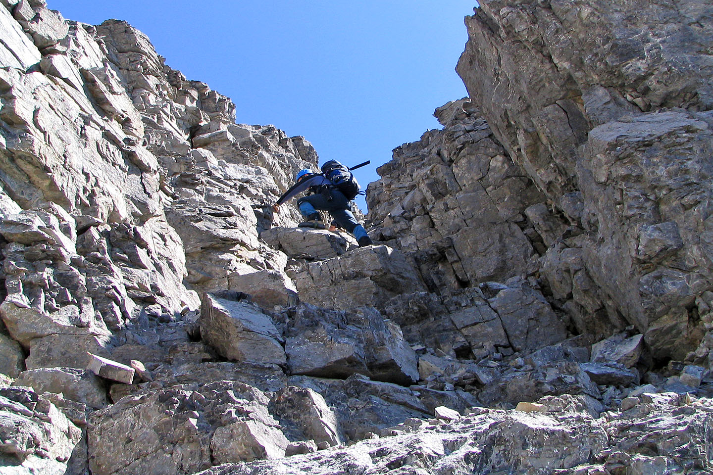
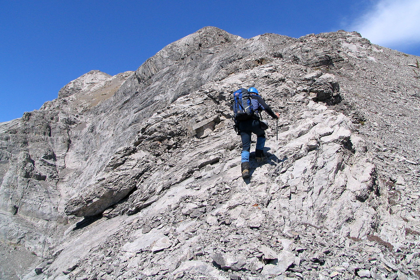
We found a break and took it
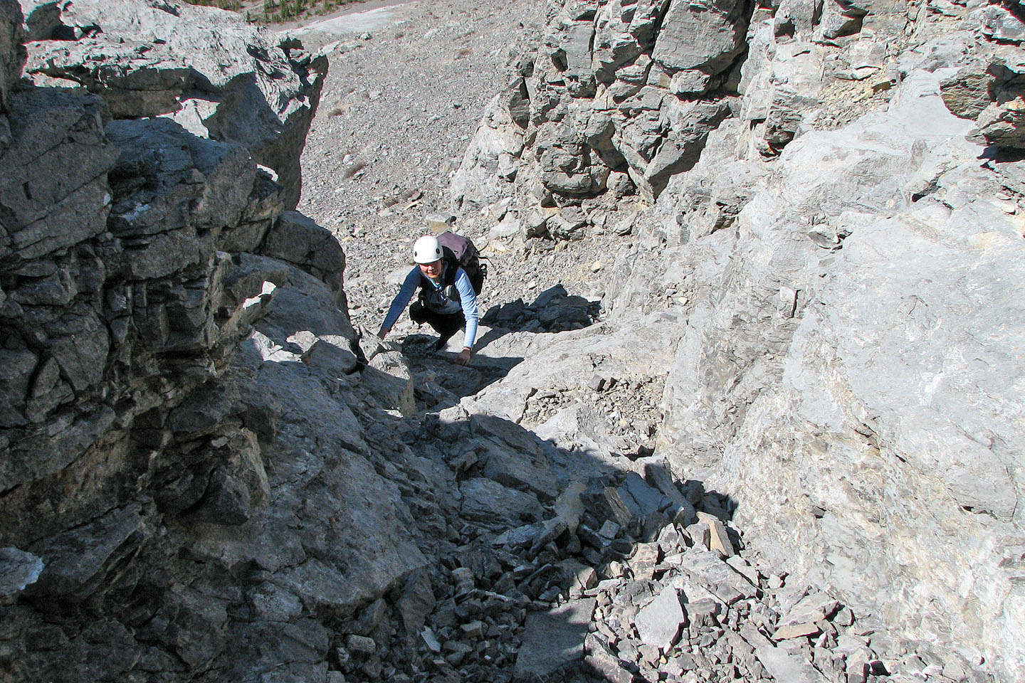
Dinah follows me up
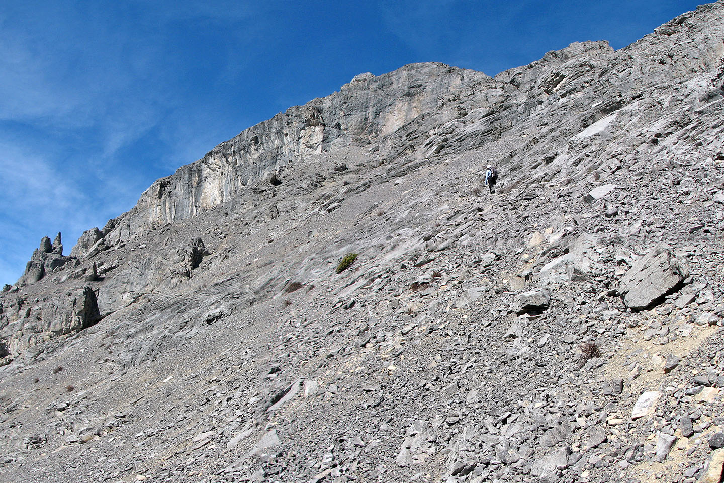
Before reaching the rock wall, we found a weakness on our right that took us to the ridge
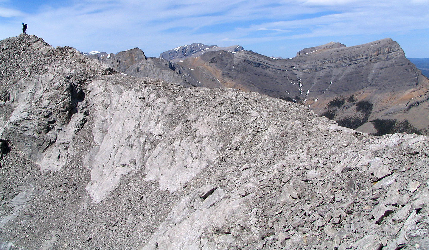
Looking back at Goat Mountain
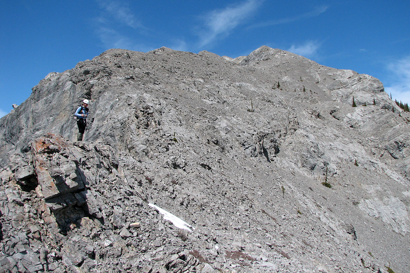 On the ridge where it meets the rock
wall. From here it's a hike to the top.
On the ridge where it meets the rock
wall. From here it's a hike to the top.
Looking back at Mount Yamnuska
The summit is on the left
View of the east ridge of Yam where we were a few hours earlier
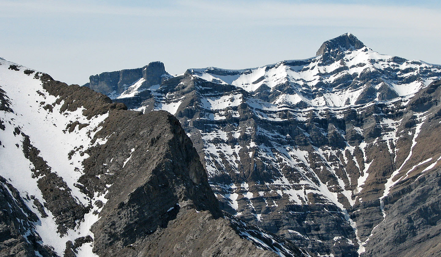
Mount Townsend (mouse over for a close-up) and Epic Tower to the northwest
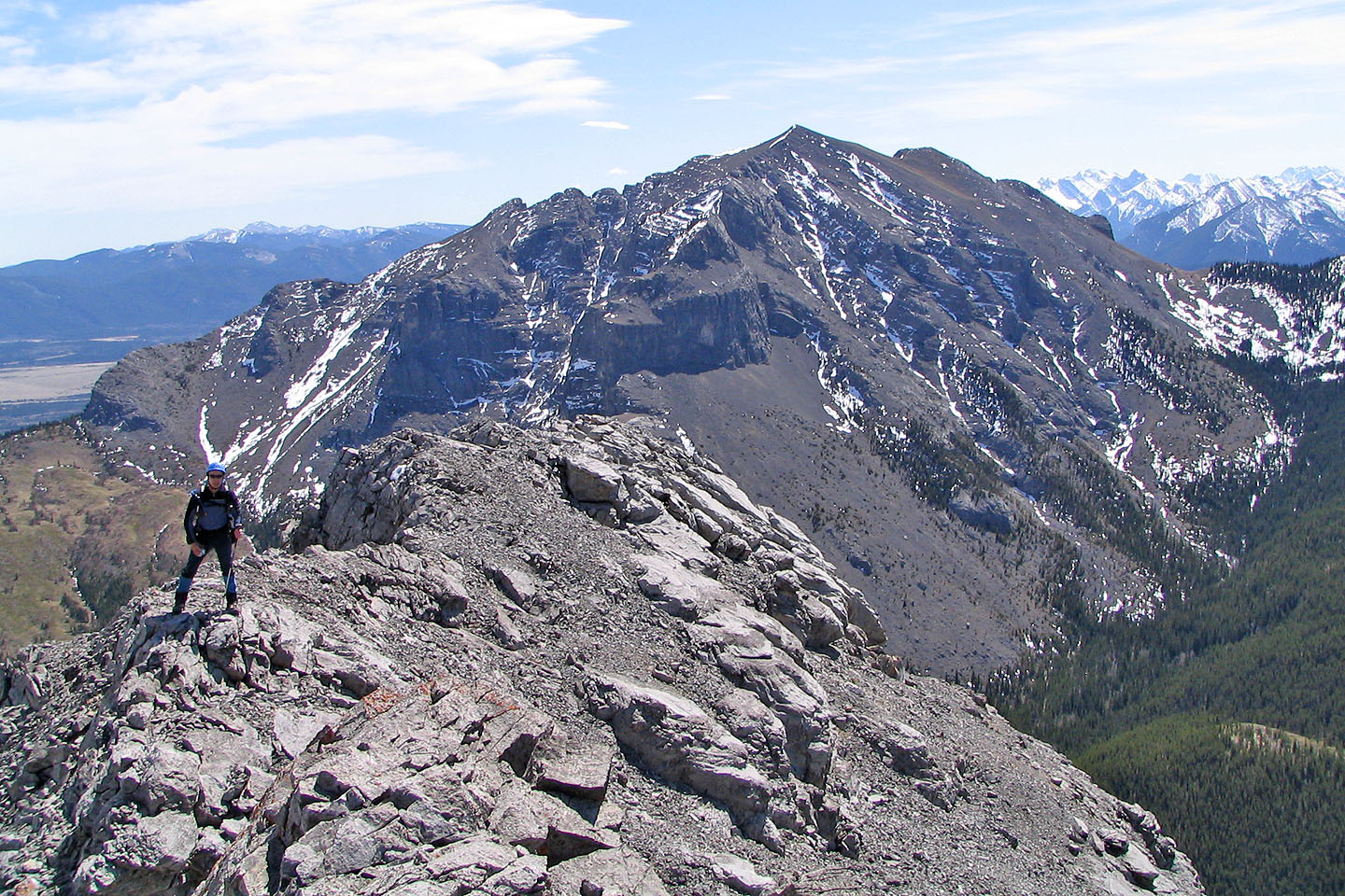
On the summit. Association Peak on the right.
82 O/3 Canmore