bobspirko.ca | Home | Canada Trips | US Trips | Hiking | Snowshoeing | MAP | About
Ruby Ridge
Waterton Lakes National Park, Alberta
October 2, 2010
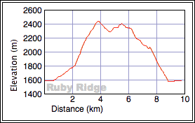
Distance: 9.6 km (6.0 mi)
Cumulative Elevation Gain: 1000 m (3281 ft)
The maroon rocks of Ruby Ridge are best seen under sunny skies, so under an auspicious forecast, we drove
south to ascend this minor peak. As well as clear skies, we were also favoured with warm weather, a fall day
that was superior to many of this year's cool, wet, summer days.
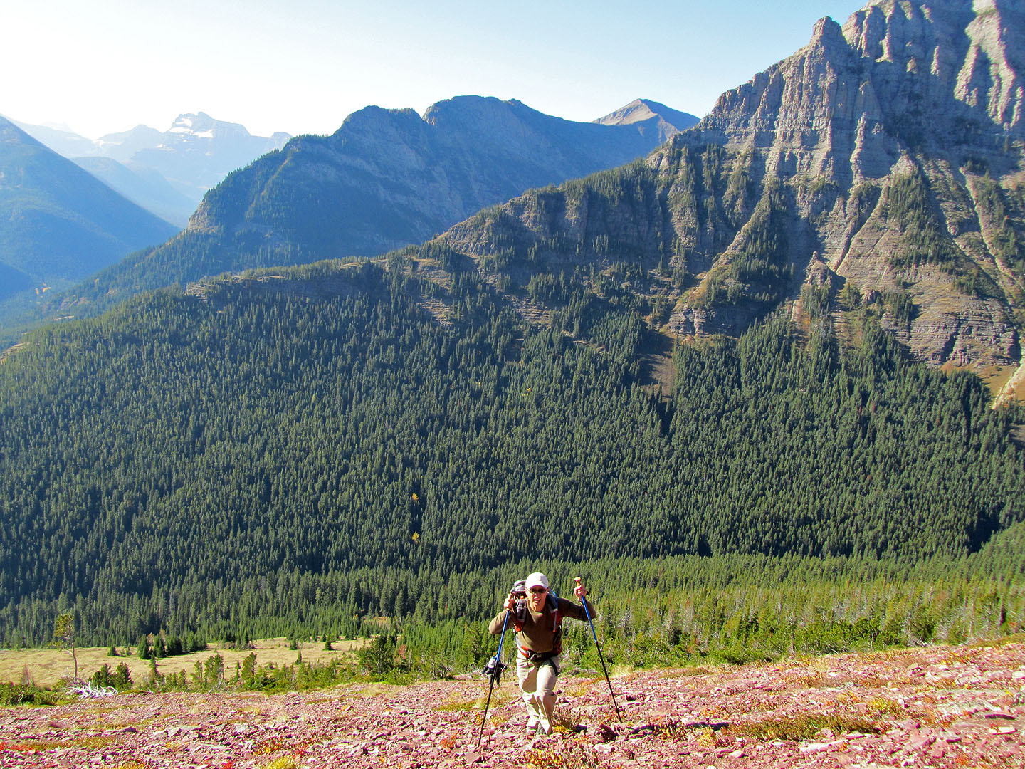
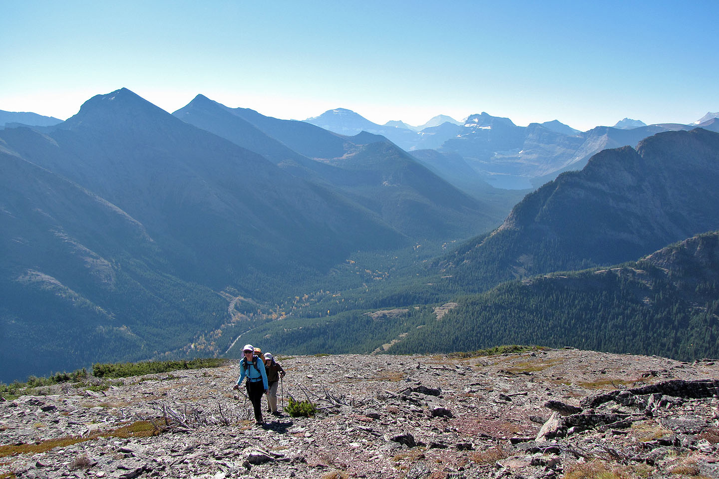
Joining Dinah and I was Ray. We hiked 1.7 km up on Lineham trail, and at the high point on the trail, we set
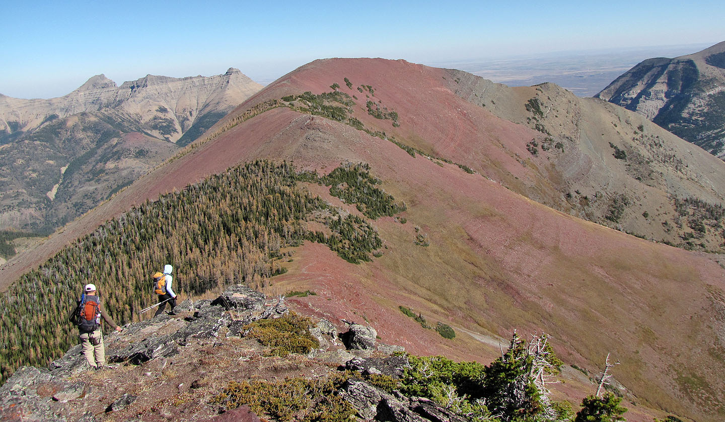
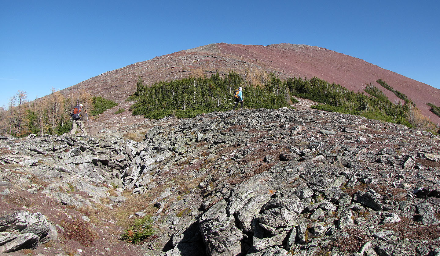
off up a steep, open slope. The plod to the summit was unremarkable, except for the colourful rocks midway.
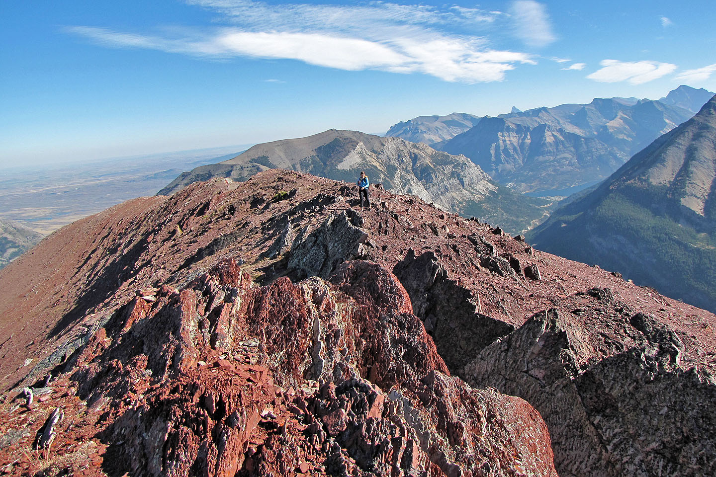
Less remarkable – and unappreciated – was that much of the rock was loose scree. When we reached the summit,
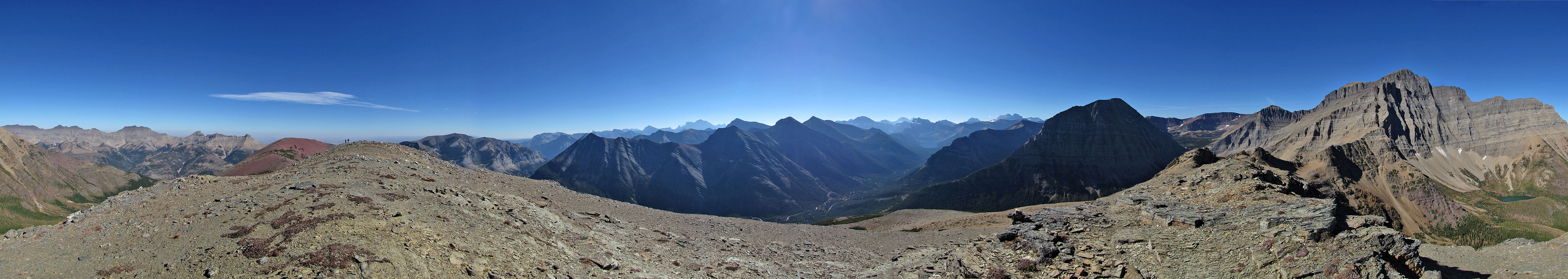
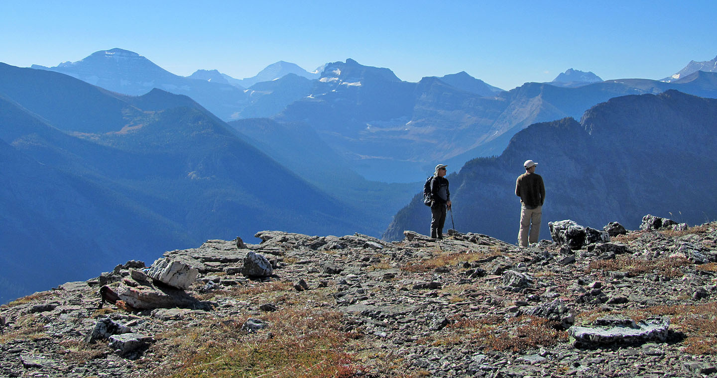
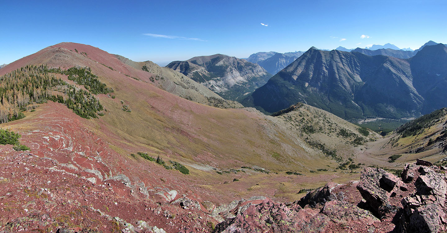
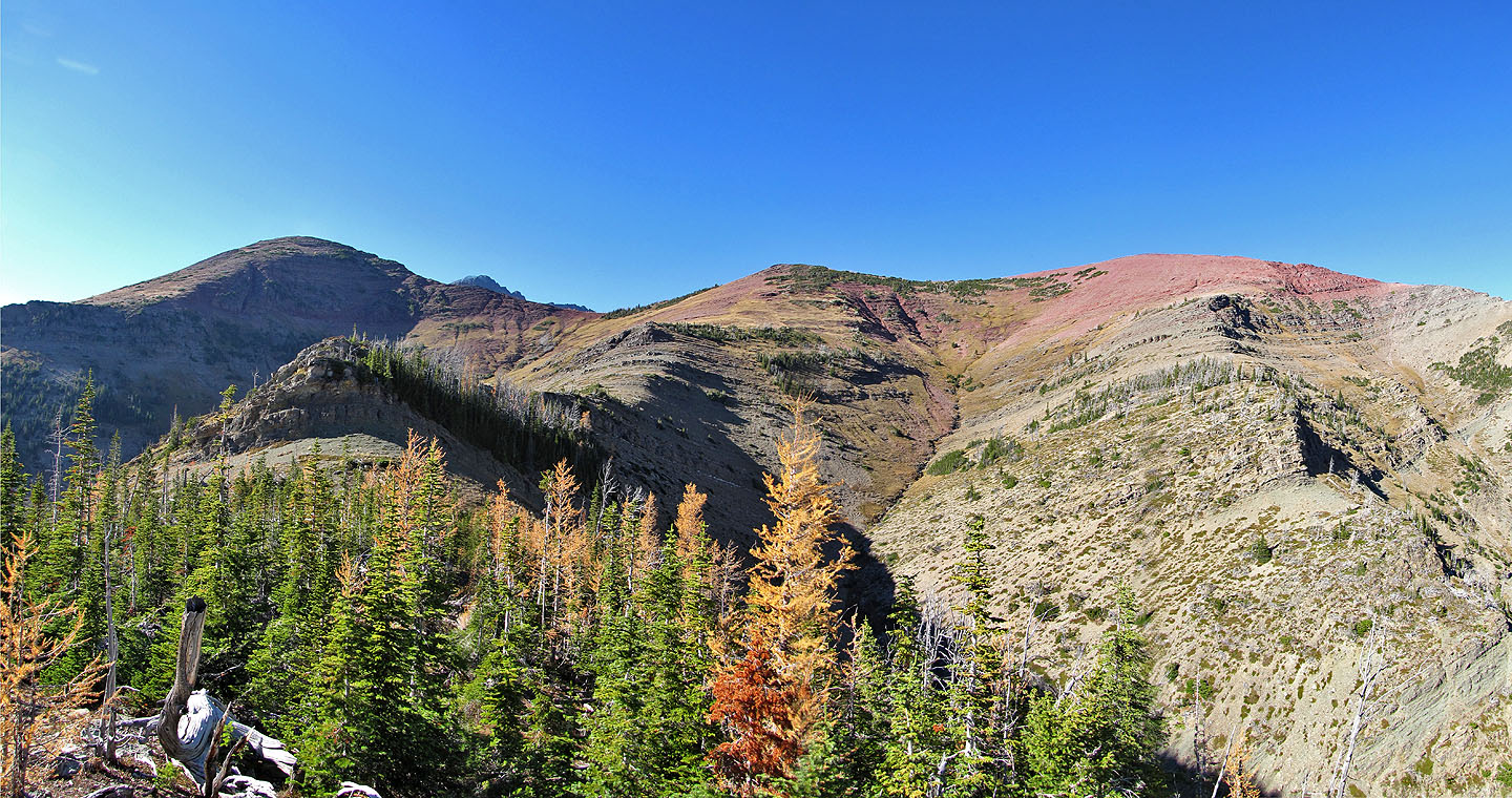
the views were noteworthy, but our attention turned to the rich red rocks ahead of us: the east end of Ruby
Ridge.
To reach the east end of the ridge, we had to drop down to a saddle. Before the saddle, however, we descended
short cliffs on the left side of the ridge, an easy scramble. Afterwards, we sauntered up the east summit,
sitting slightly lower than the west summit.
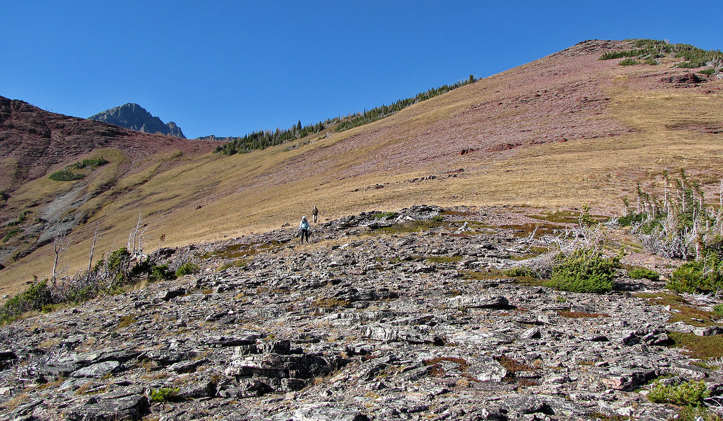
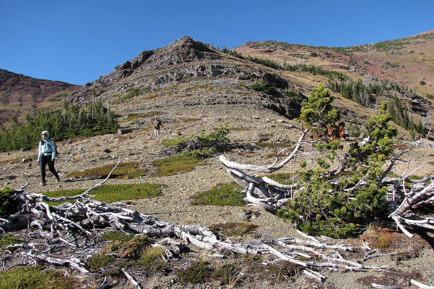
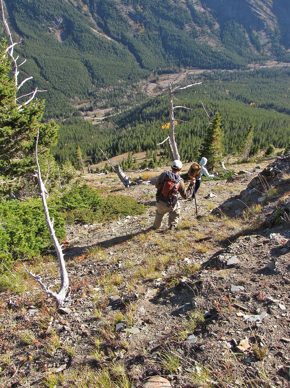
After a long visit on top, we headed back to the saddle to a spur that snakes down to the road. We weren't
sure if a cliff band would stop us, but our descent went without a hitch. Eventually we came to a steep
hillside that merged into an equally steep forested slope. Bushwhacking wasn't easy, but it was a mercifully
short distance to the road.
We ended up at a parking lot across from a historic site, Alberta's first oil well. While Dinah and Ray flopped on a bench, I dropped my pack and jogged 1.2 km back to the car.
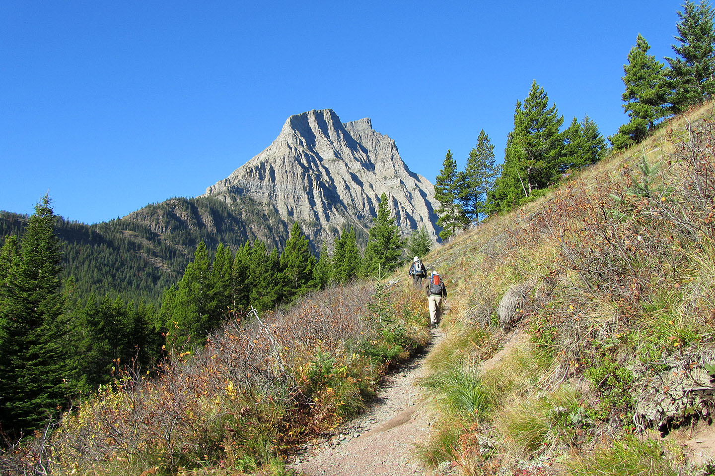
Lineham Trail
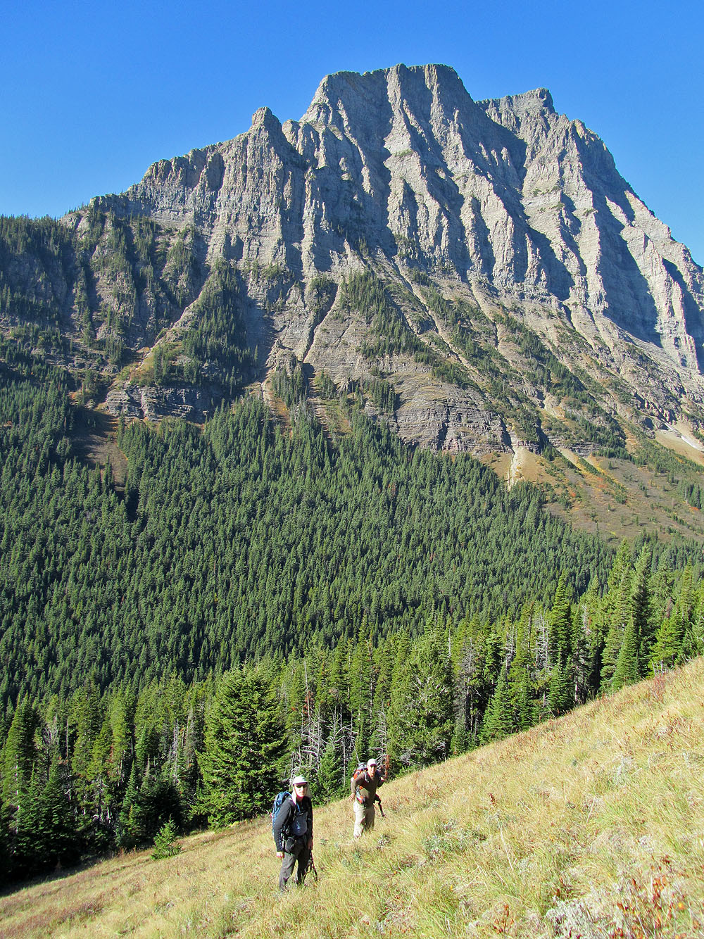
Ascending the open slope above the trail.
Mount Lineham behind.
Ray hikes up the red scree
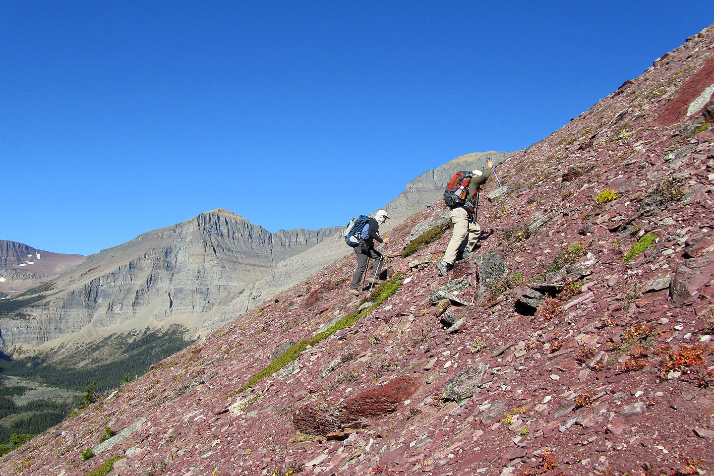
More scree
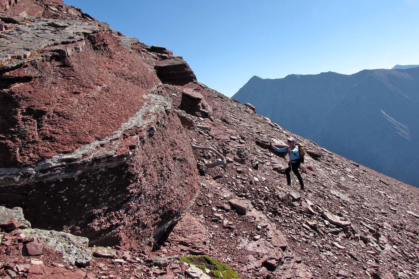
Colourful rock band
Mount Custer sits at the end of Cameron Lake (mouse over for a close-up)
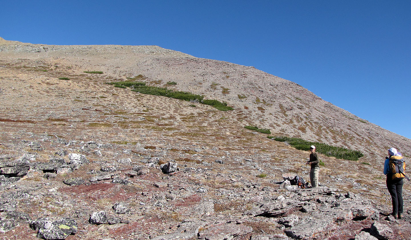
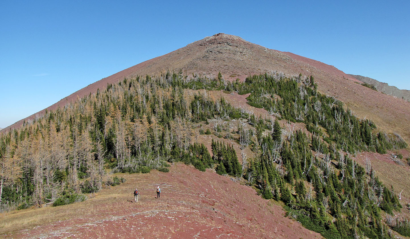
The grade eased as we neared the summit
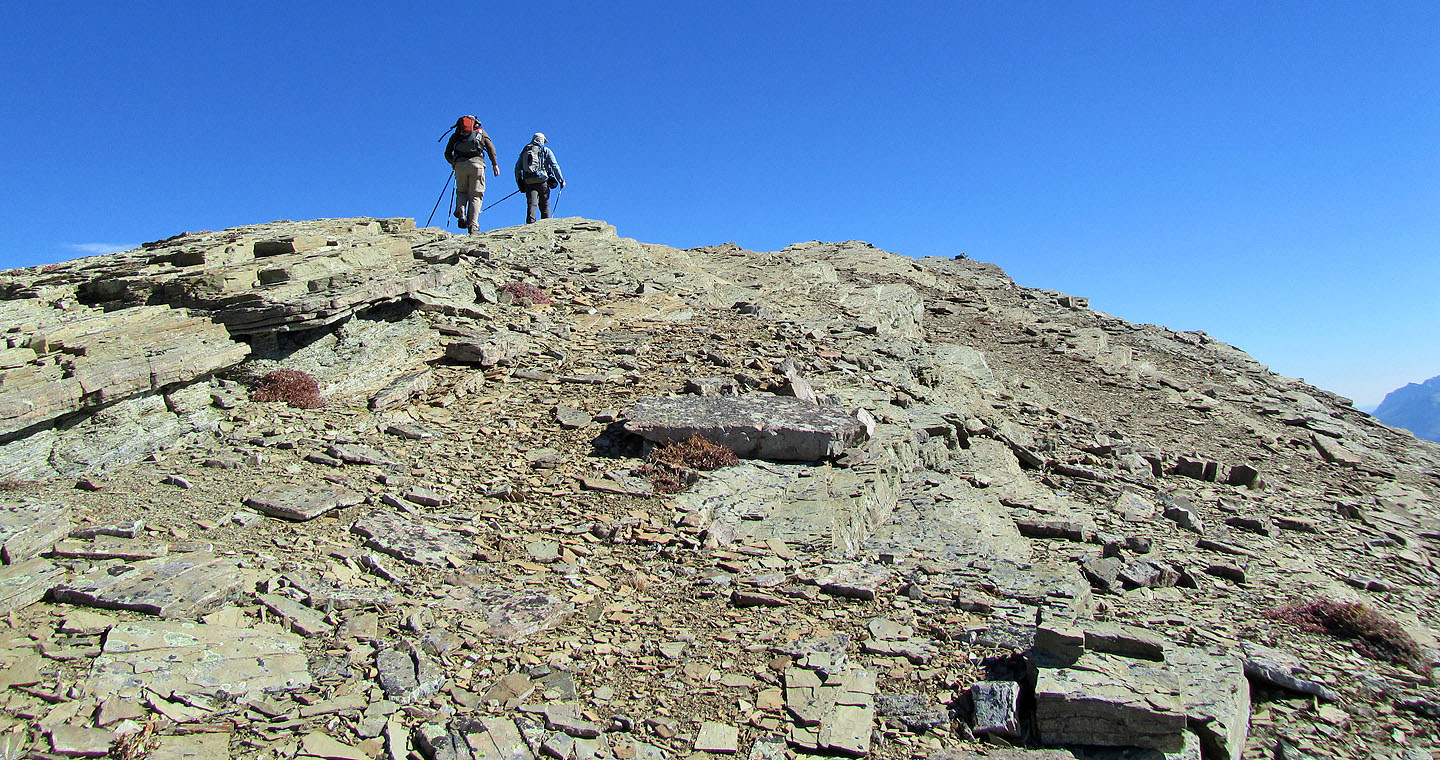
The summit
On the summit
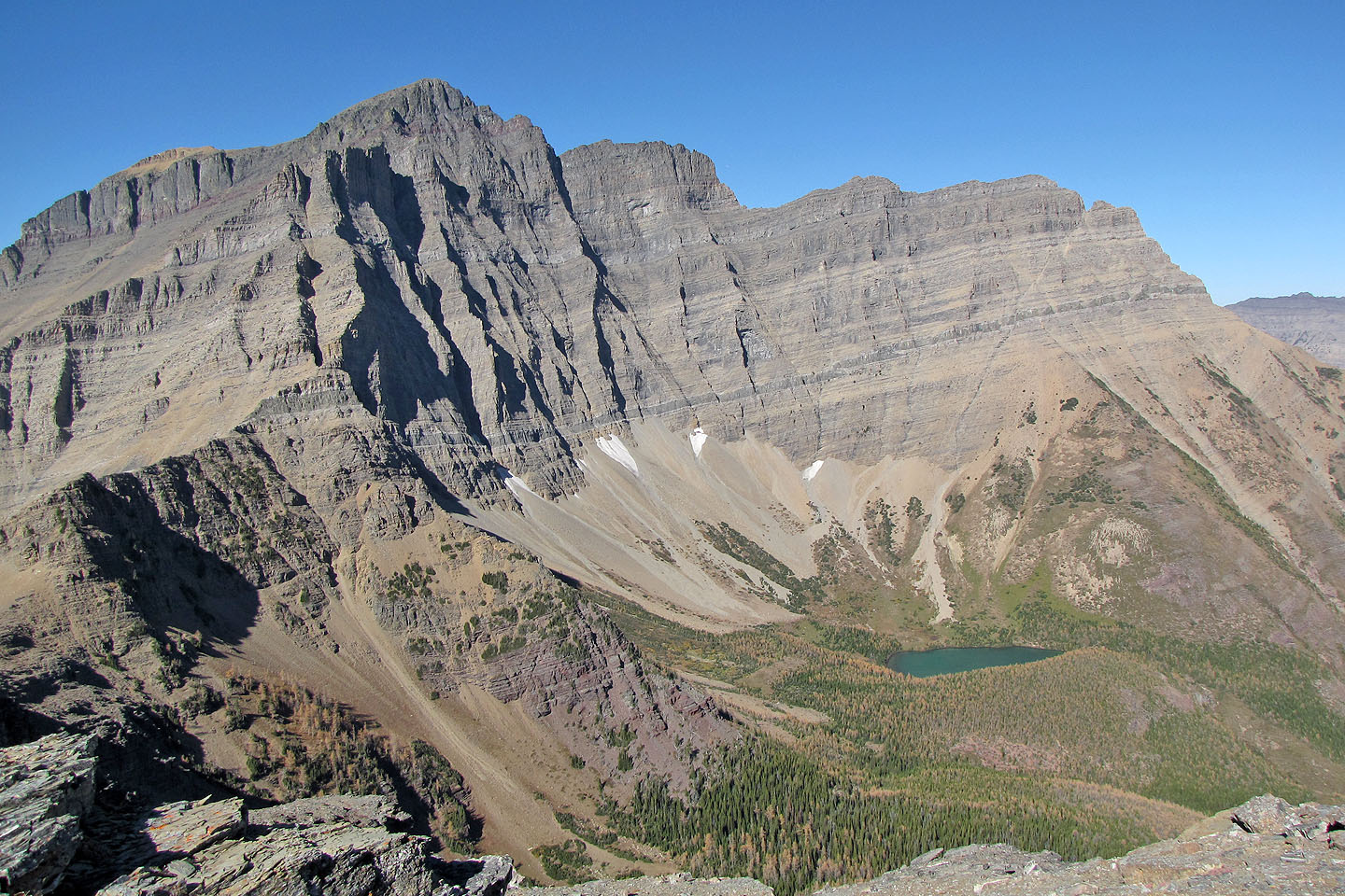
Mount Blakiston and Ruby Lake
Coming to the cliff bands as we continued along the ridge to the east summit
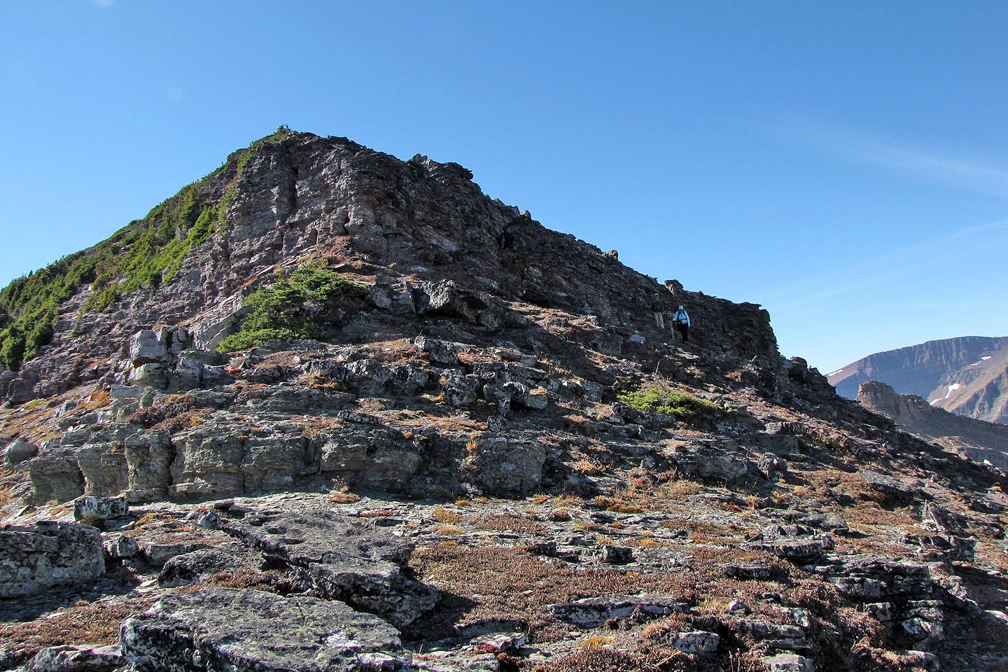
The north side of the ridge was an easy scramble
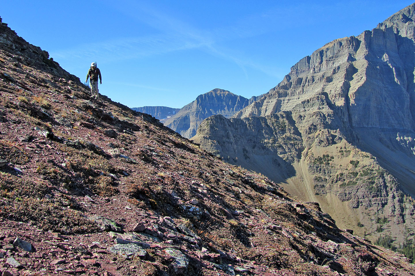
On a goat track below the cliff bands
Looking back
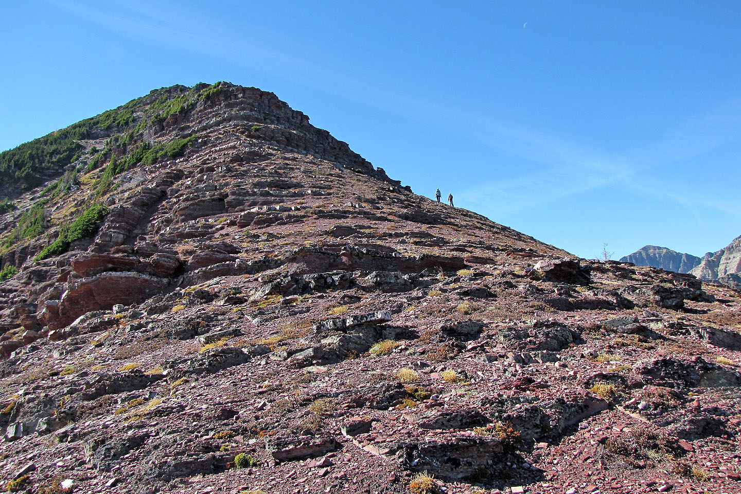
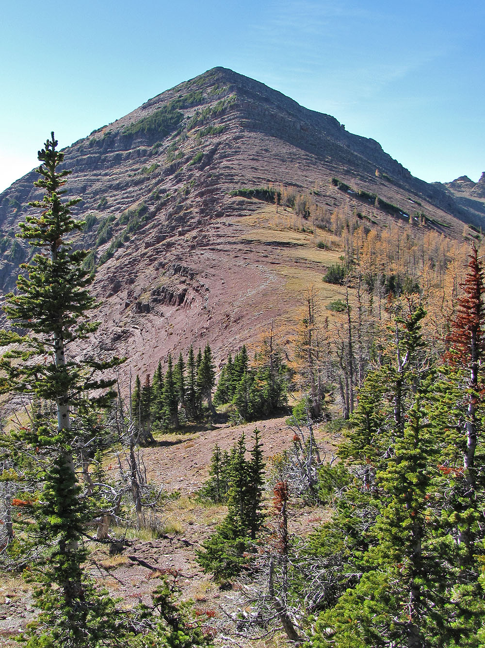
Before reaching the saddle, we studied the east summit as well as our descent route: the long ridge in the
centre
On the saddle
Behind us, yellow larches on the saddle contrasted with the red argillite
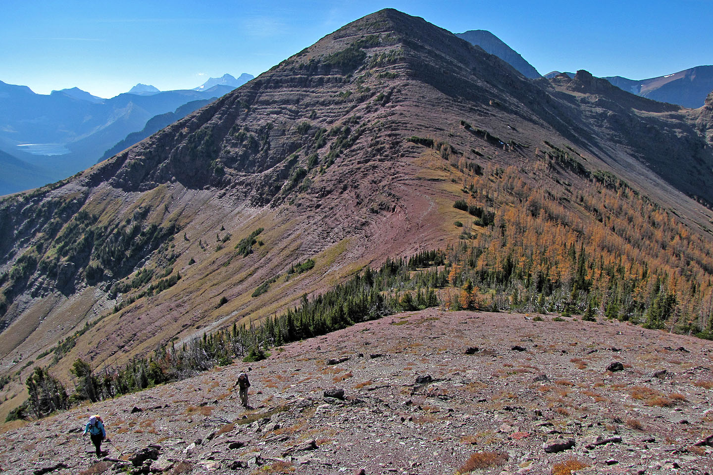
Looking back at the summit
The east summit is still a long way off
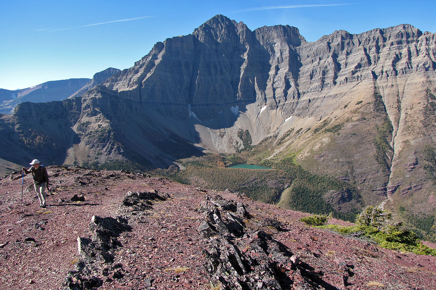
Mount Blakiston towers above Ruby Lake
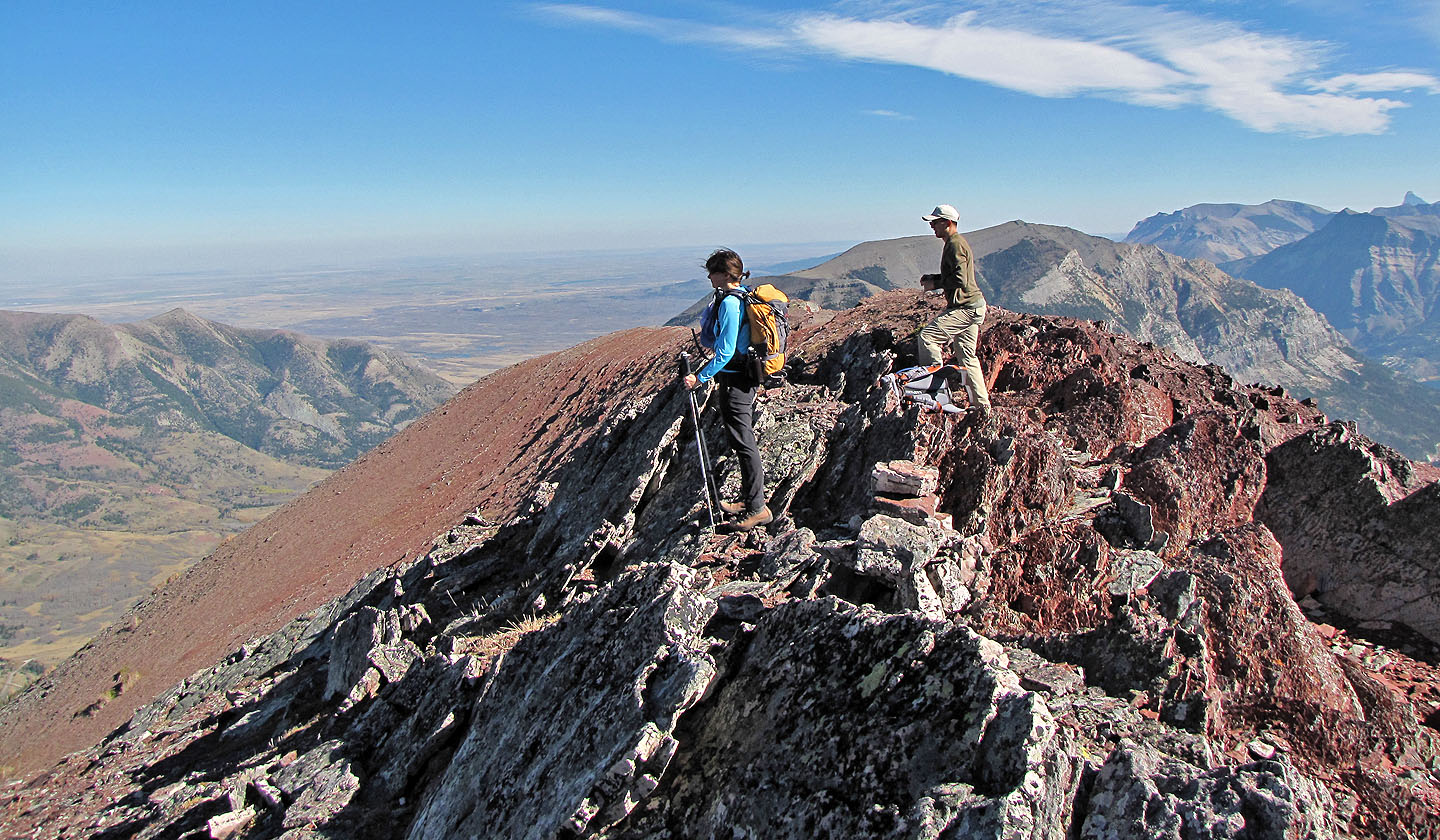
Dinah and Ray on the east summit
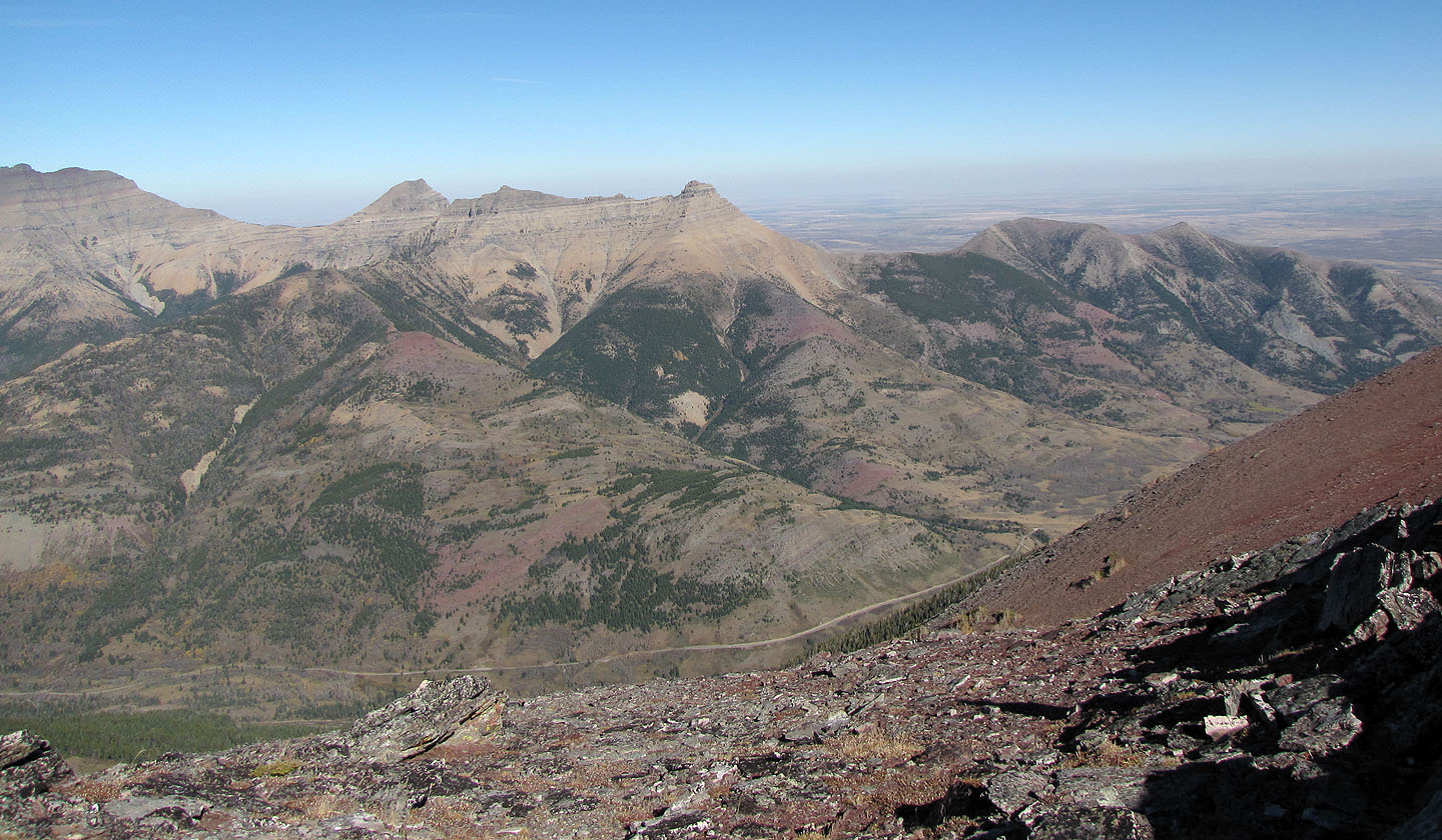
Mount Galwey and
Bellevue Hill
Dinah explores the end of the ridge
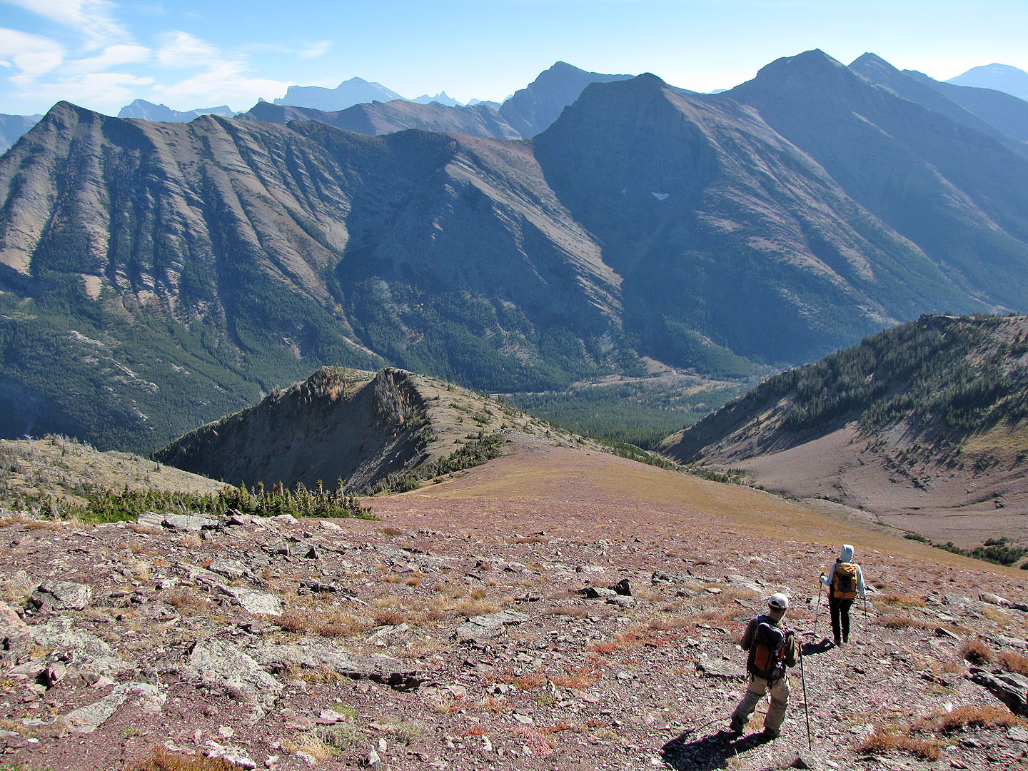
Heading to the descent ridge
Looking back at the summit
Looking back at a rock band we circumvented
The descent ridge stretches back to Ruby Ridge
Our last leg of the trip included descending a steep grass slope and bushwhacking to the road
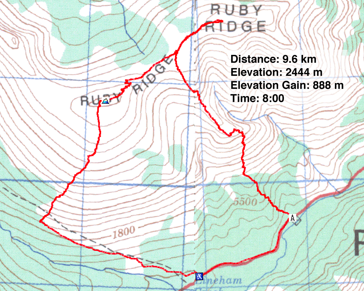
82 G/1 Sage Creek, 82 H/4 Waterton Lakes