bobspirko.ca | Home | Canada Trips | US Trips | Hiking | Snowshoeing | MAP | About
Lakeview Ridge
Waterton, Alberta
October 1, 2011
Distance: 16.0 km (9.9 mi)
Cumulative Elevation Gain: 723 m (2372 ft)
When Brandon Boulier from the Calgary Scrambling and Mountaineering Club contacted me and suggested we get together for a trip on Saturday, I agreed. I had never met Brandon but had followed some of the trips he had organized with the Club. Which mountain we would climb was another matter. The weather forecast called for rain throughout much of Southern Alberta, but Waterton held the promise of the driest conditions. We settled on a short hike up Lakeview Ridge. We would only traverse the West Ridge, however, and not the lower East Ridge.
As we drove through Pincher Creek on our way to Waterton, it began raining, and we wondered if we should even attempt a hike. But when we arrived at the trailhead, the rain auspiciously ceased, so we set off up Horseshoe Basin Trail.
Horseshoe Basin trail is a no-nonsense trail. Well-defined and free of junctions and forks, it's impossible to verve off it. The trail climbs over a rise, crosses a creek and continues to the Galwey-Lakeview col. But we followed it only to the creek. After crossing the creek, we climbed the south end of Lakeview Ridge and followed the ridge crest.
It had been cloudy during our hike, but after we reached the summit the sun made a weak appearance, although it wasn't enough to warm us up. Brandon and I had to don an extra layer.
After descending to the Galwey-Lakeview col, we reached Horseshoe Basin trail and followed it back. We weren't spared from rain, however; it rained nearly all the way back to the creek. Belatedly, in the last hour of our trip, the sun came out and followed us back to the trailhead.
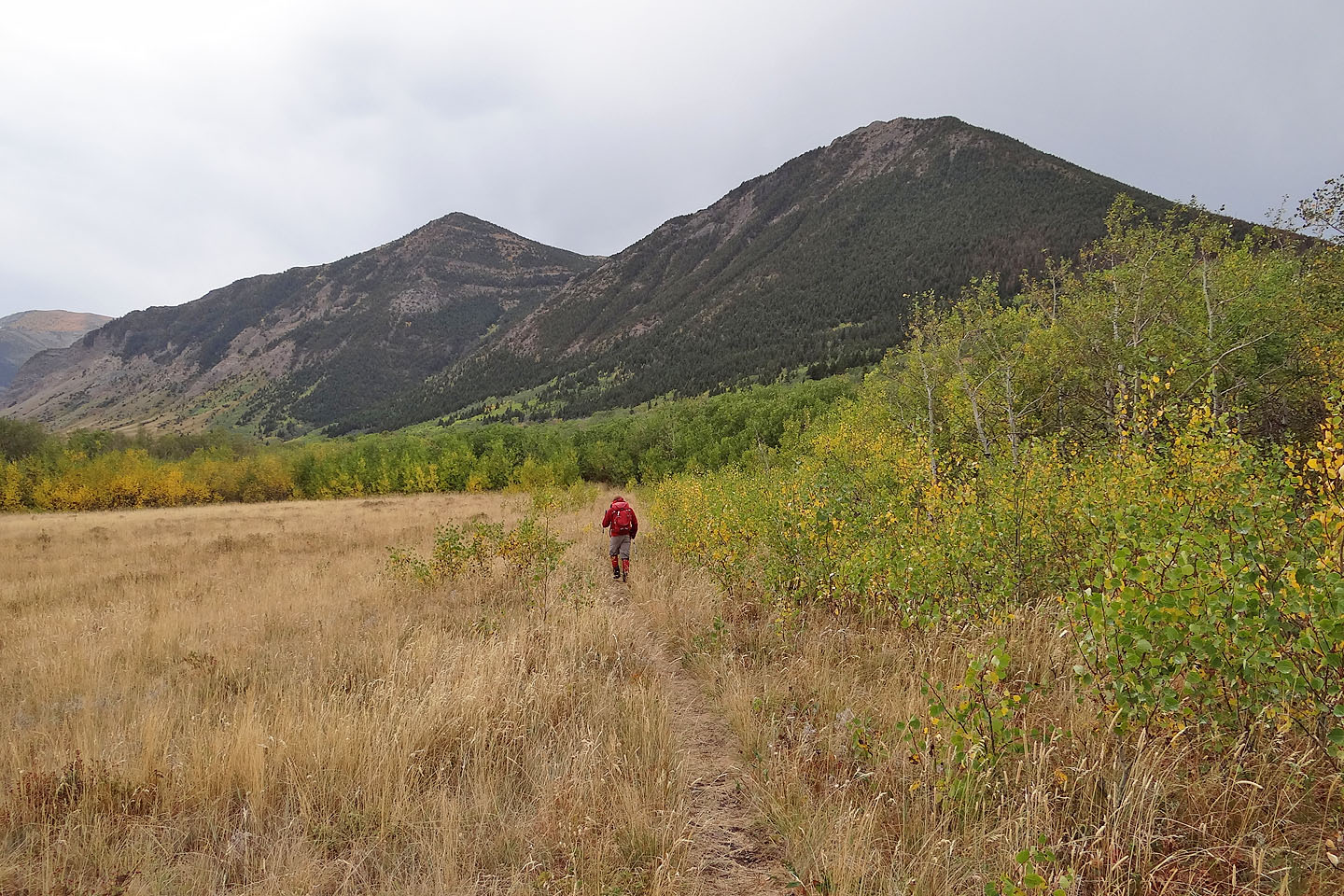
On Horseshoe Basin trail
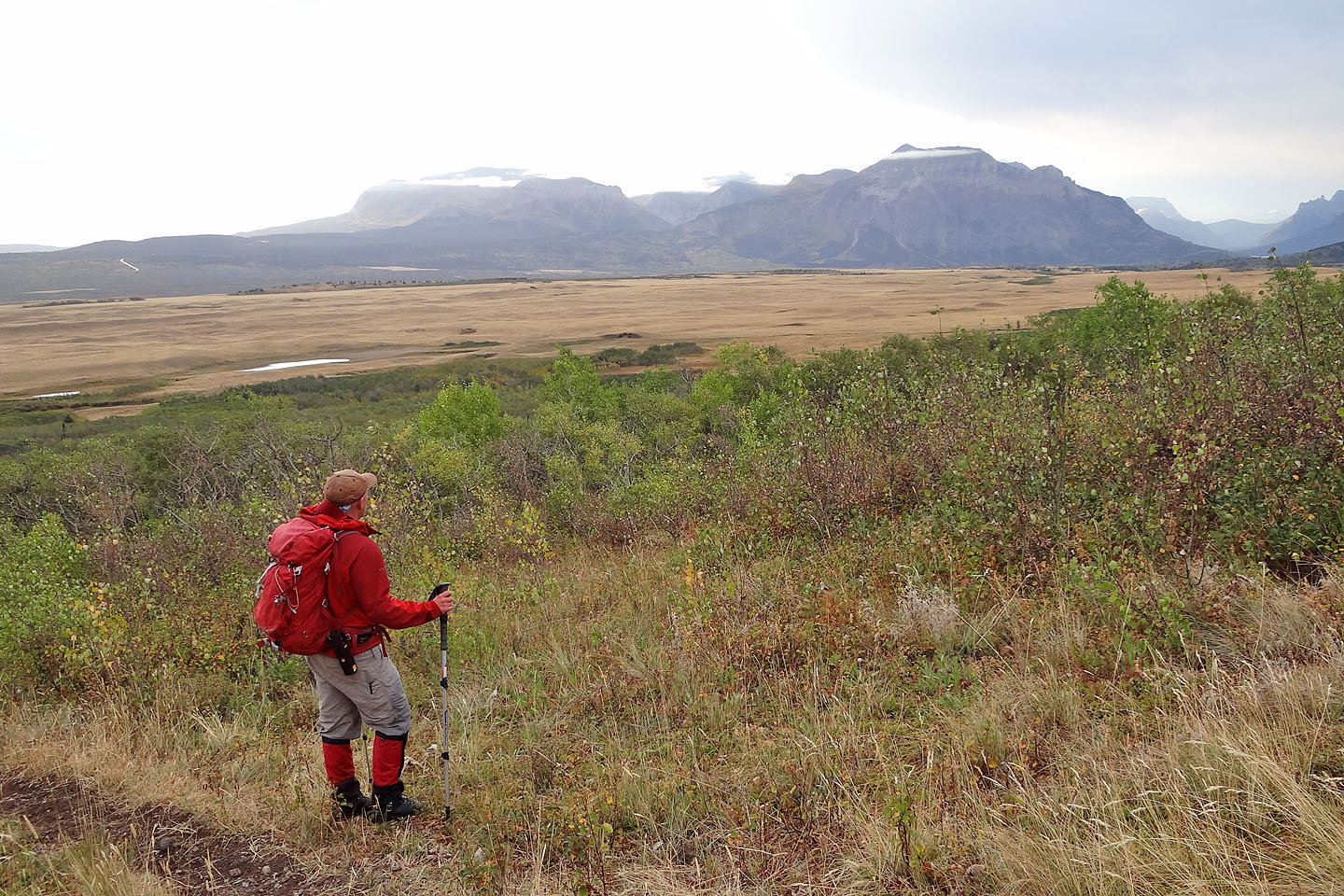
Brandon pauses to look Sofa Mountain and Vimy Peak
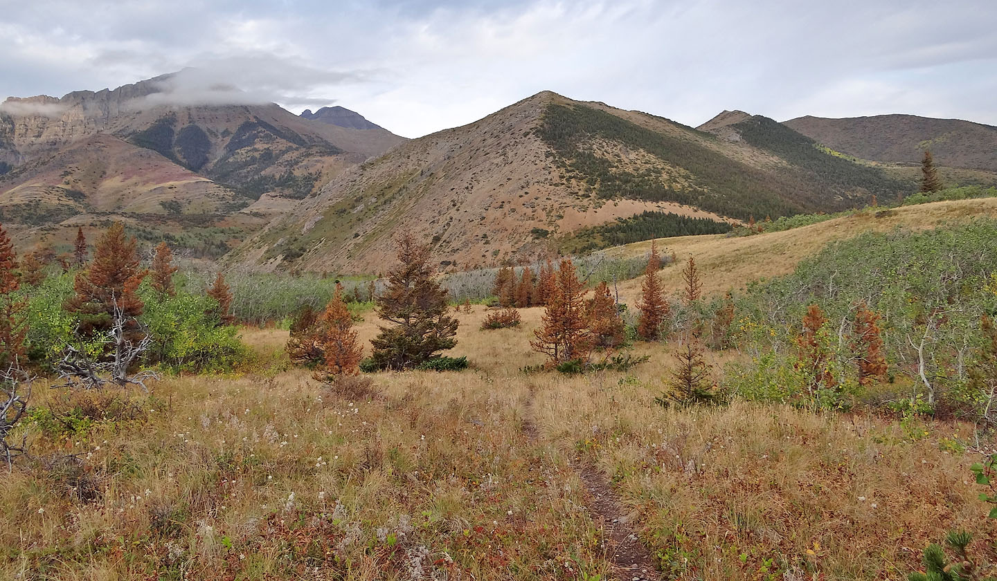
Lakeview Ridge ahead
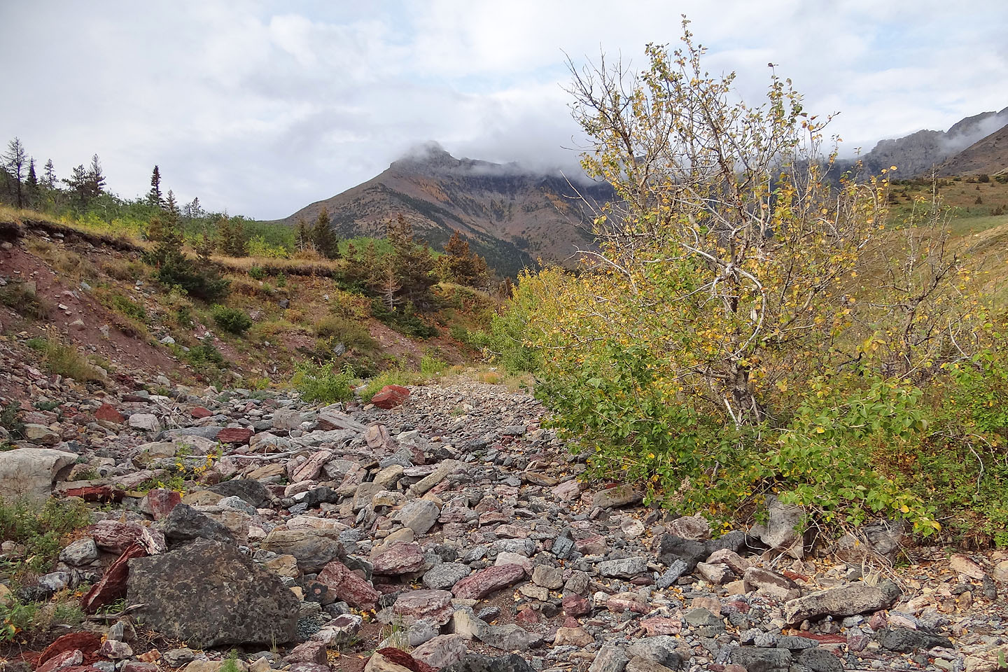
In the springtime, I once found Galwey Brook impassable, but now it was bone-dry
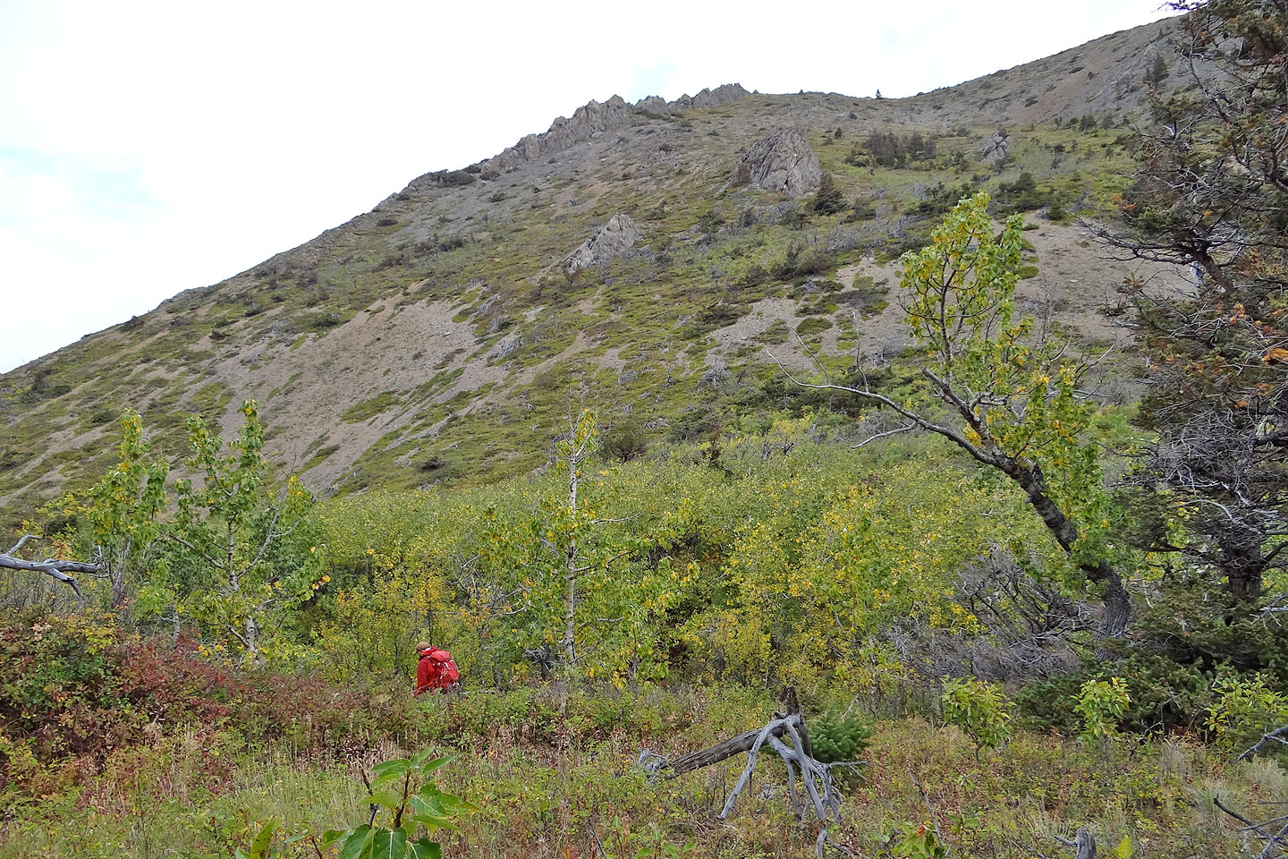
At the base of the ridge
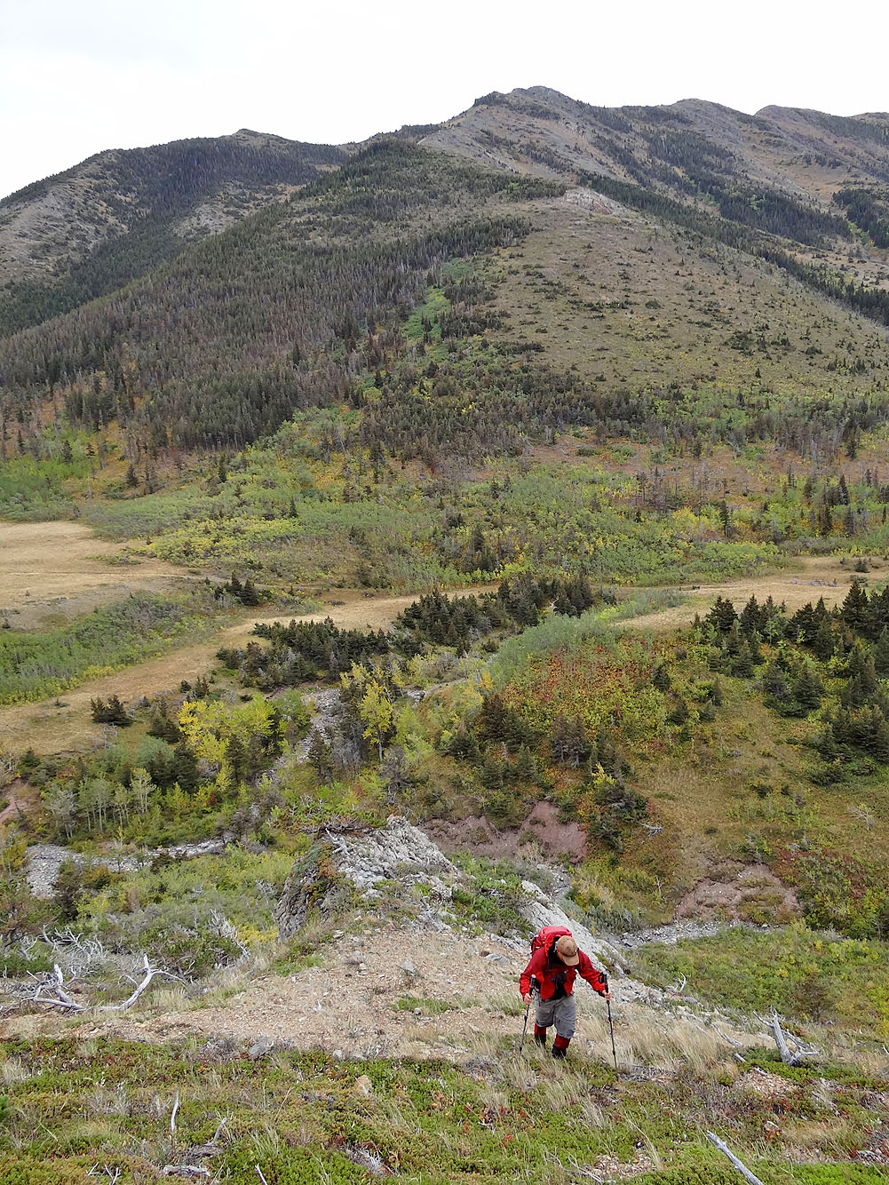
Looking back at the creek
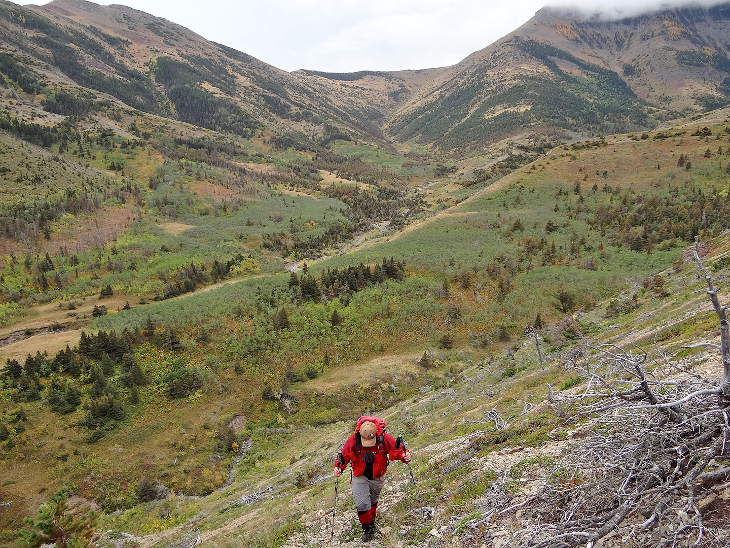
Horseshoe Basin below
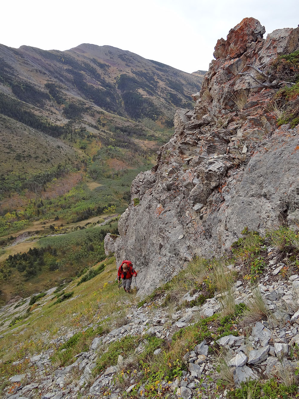
We skirted a cliff band
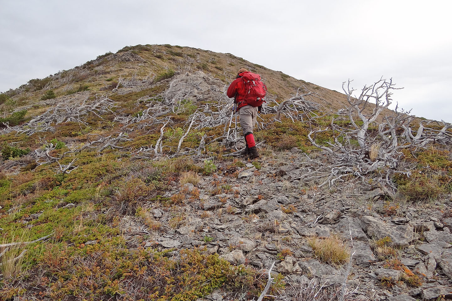
Almost on the crest
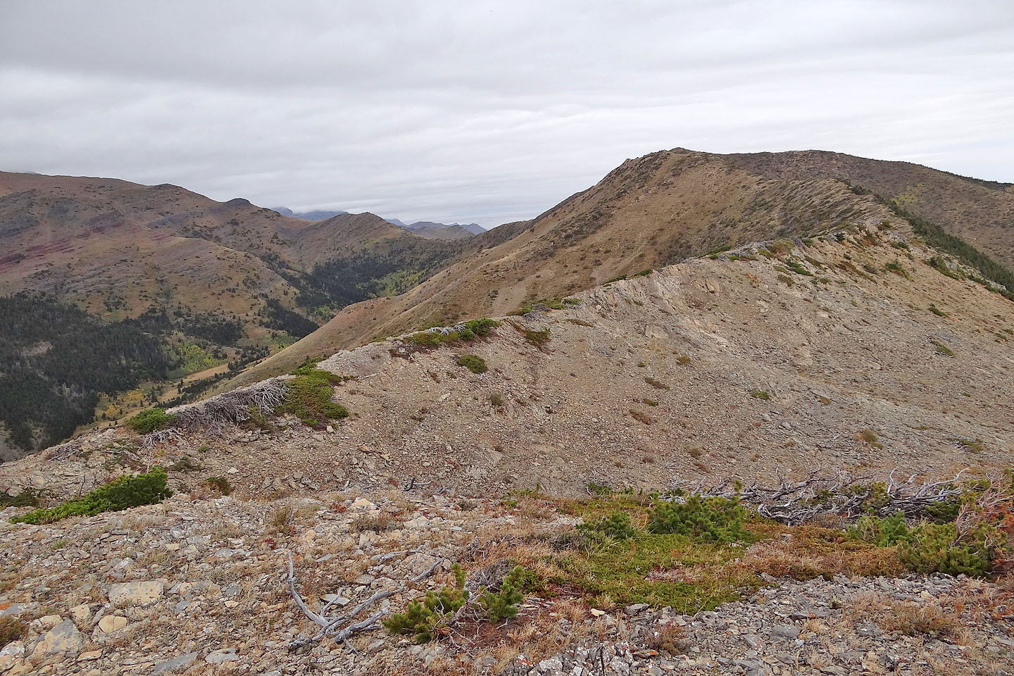
The ridge snakes to the summit
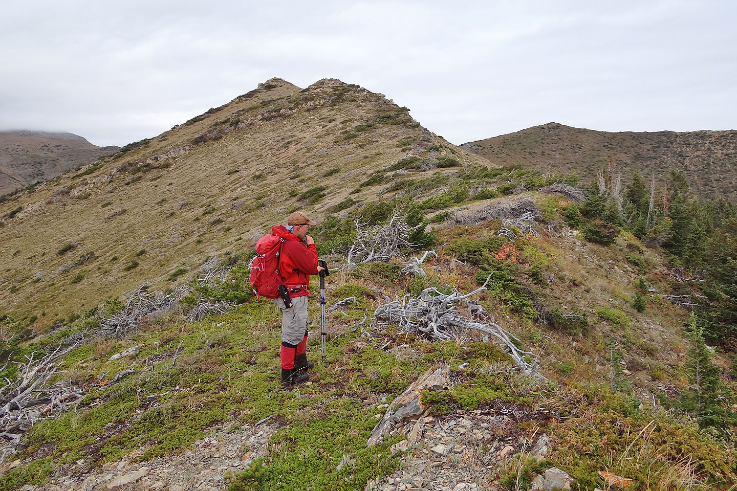
Summit is on the right
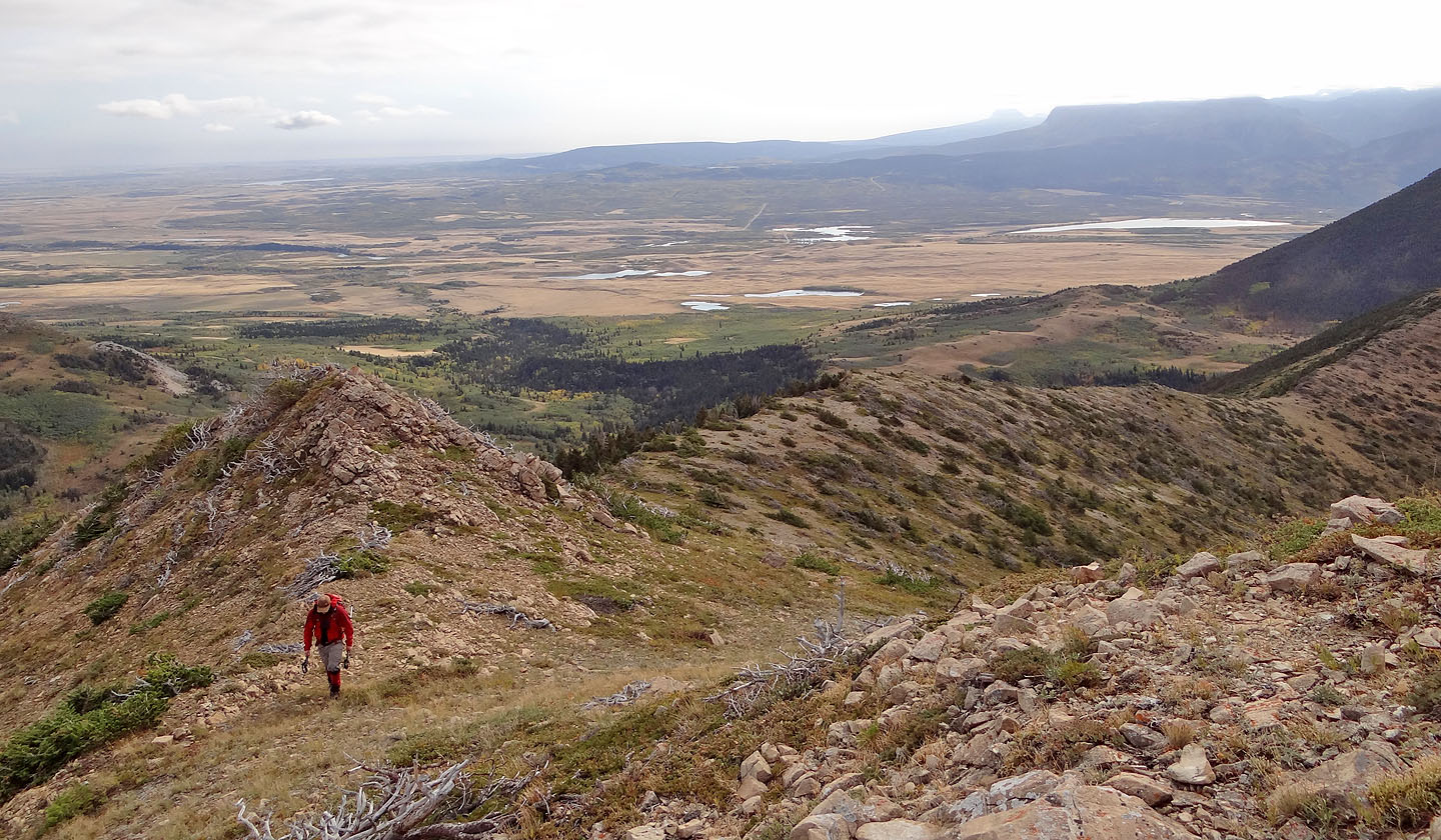
Looking back along the ridge
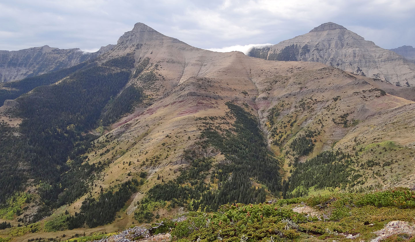
North Peak of the Galwey Massif in the foreground. Right: Mount Dungarvan (mouse over).
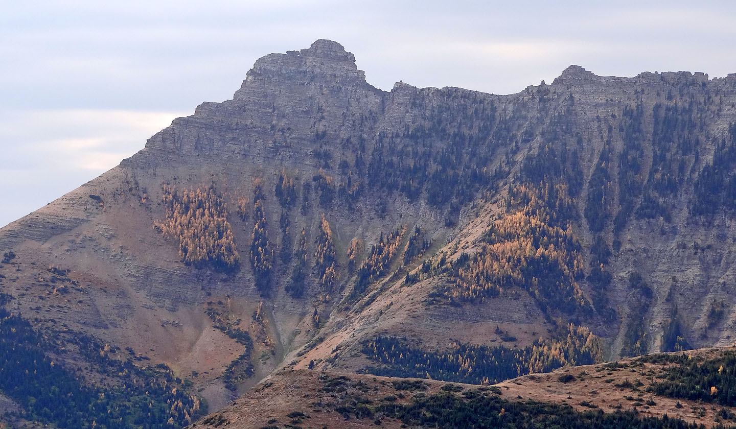
We could just make out the summit window on Mount Galwey (mouse over)
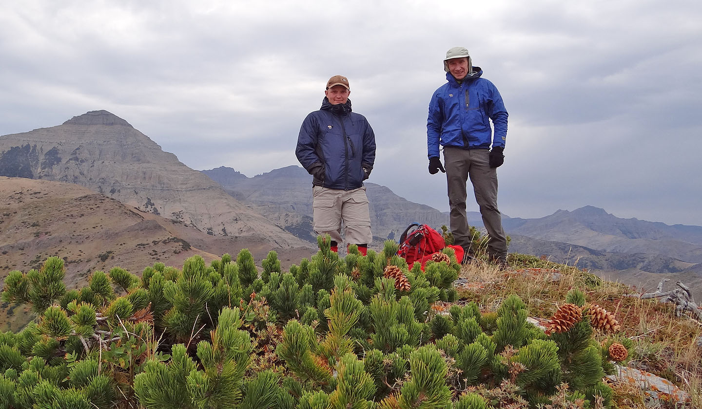
Brandon and me on the summit
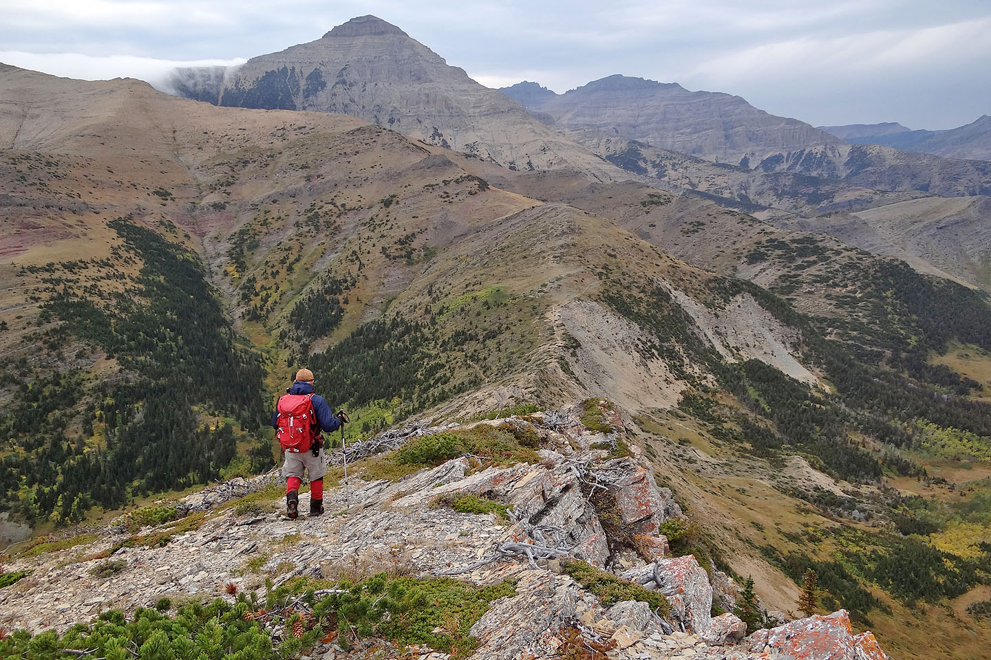
Brandon heads to Galwey-Lakeview col
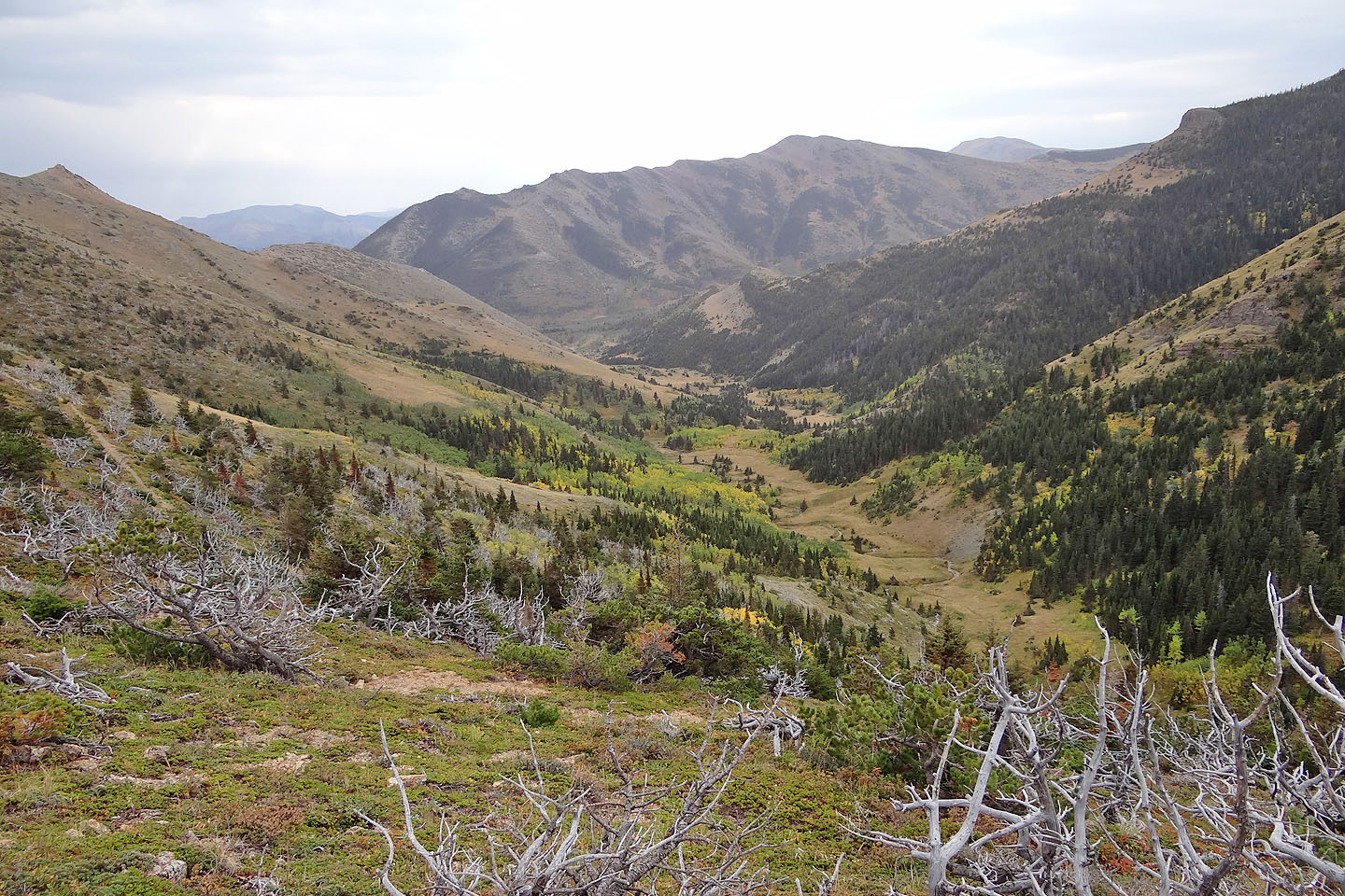
The trail (left) switchbacks down to the valley

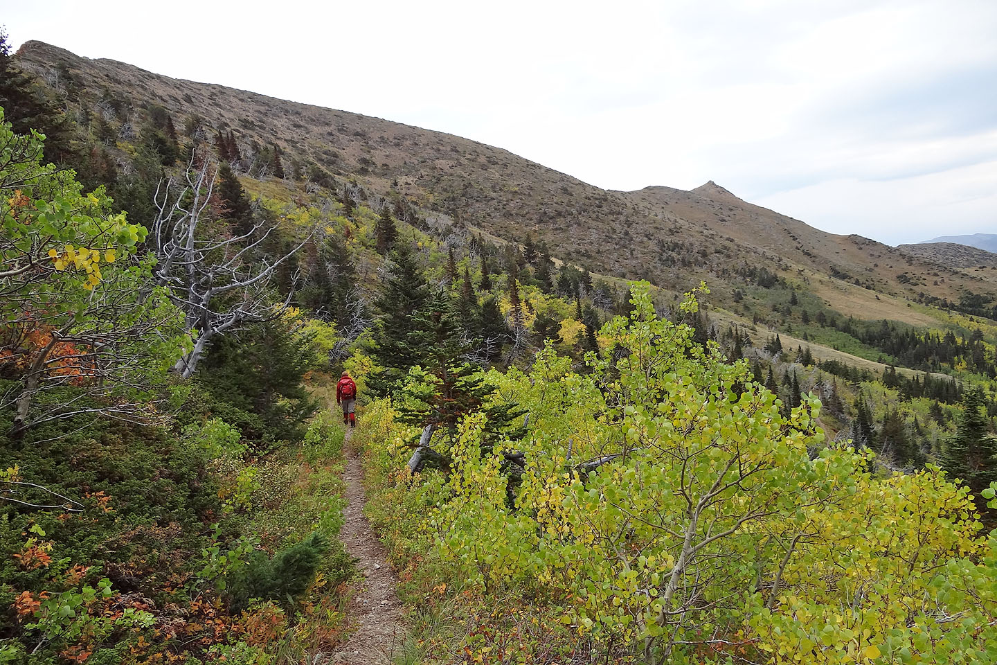
Hiking down the trail
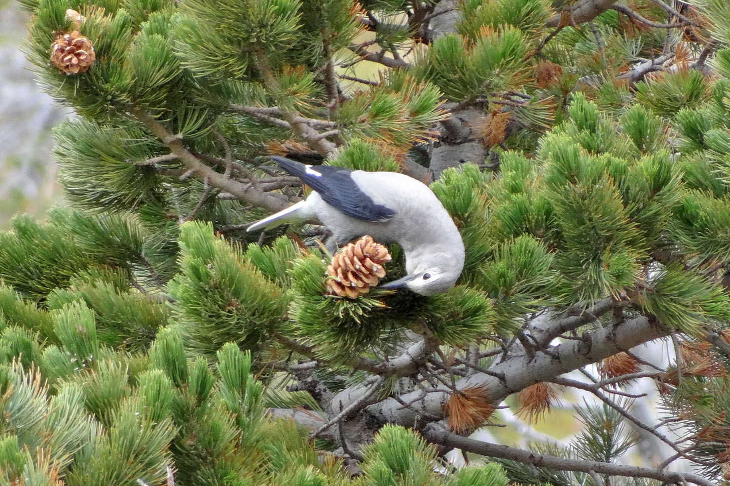
Clark's Nutcracker feeds on a pine cone
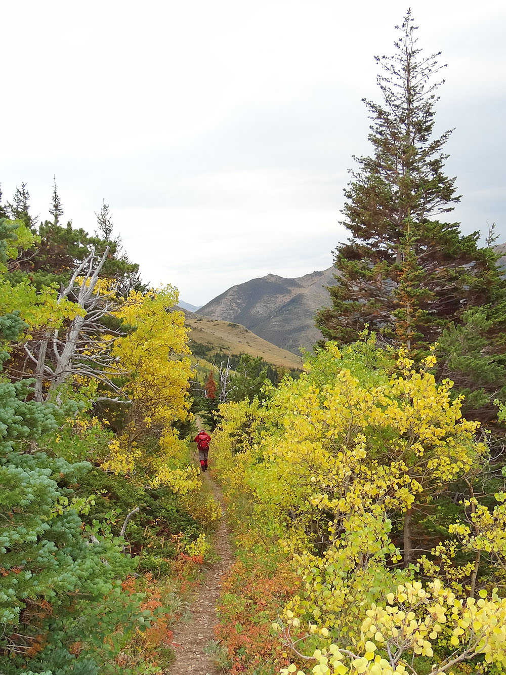
Autumn colours
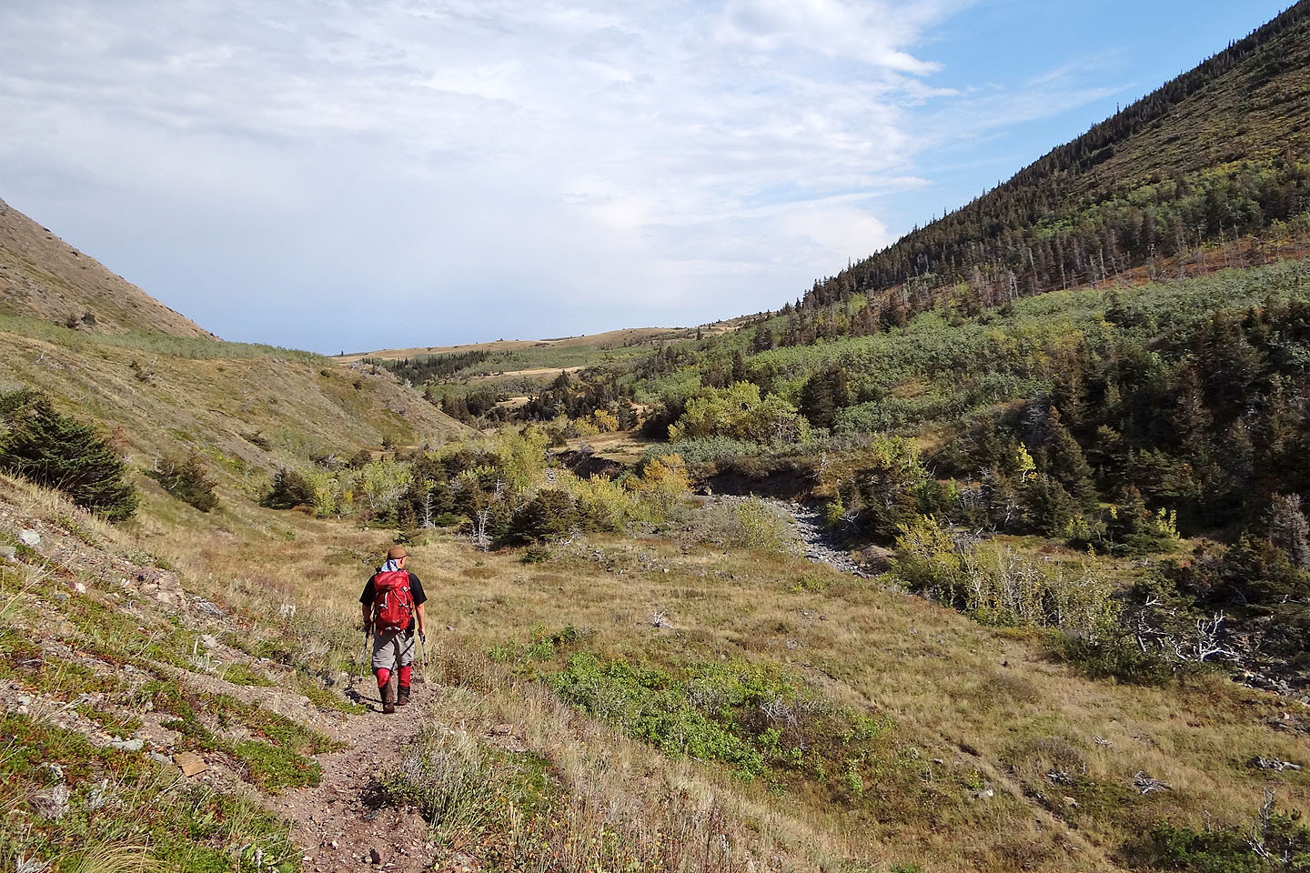
Almost back at the creek
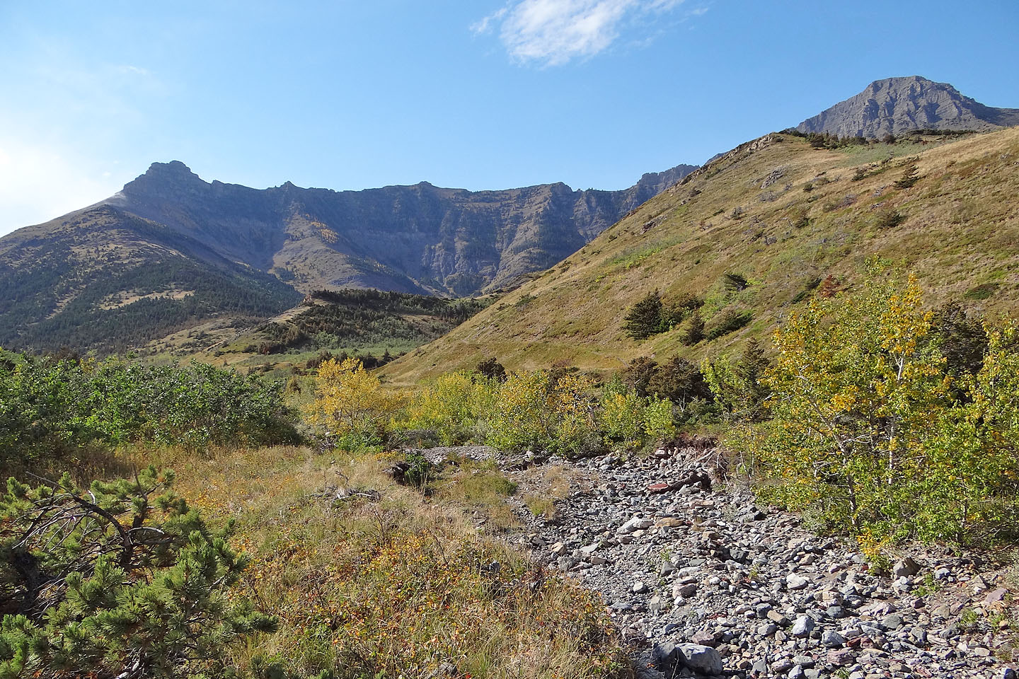
Back at Galwey Brook
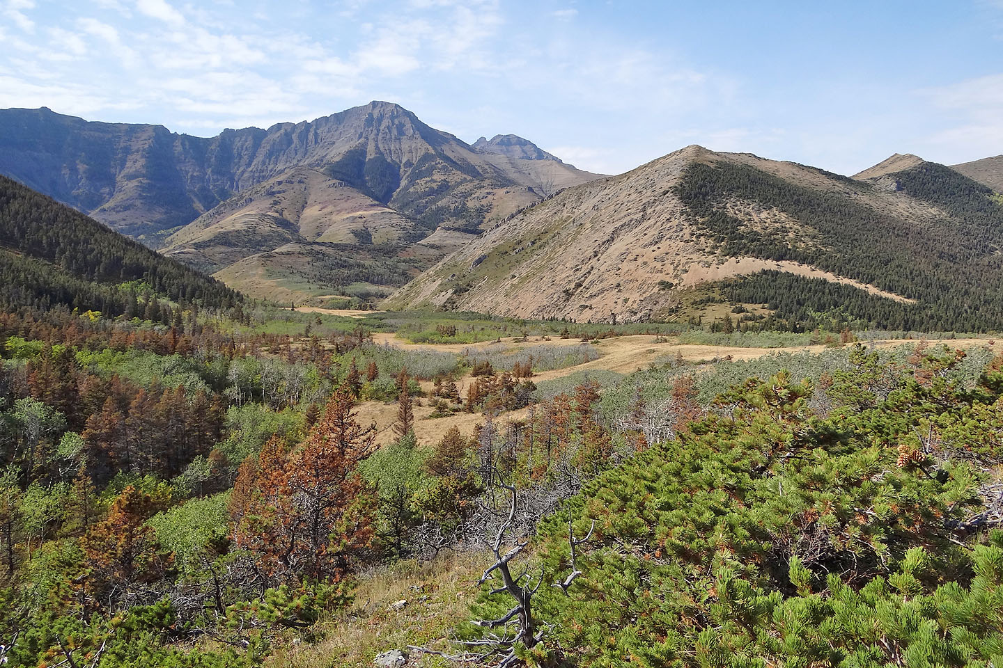
Looking back at Lakeview Ridge when the skies had cleared
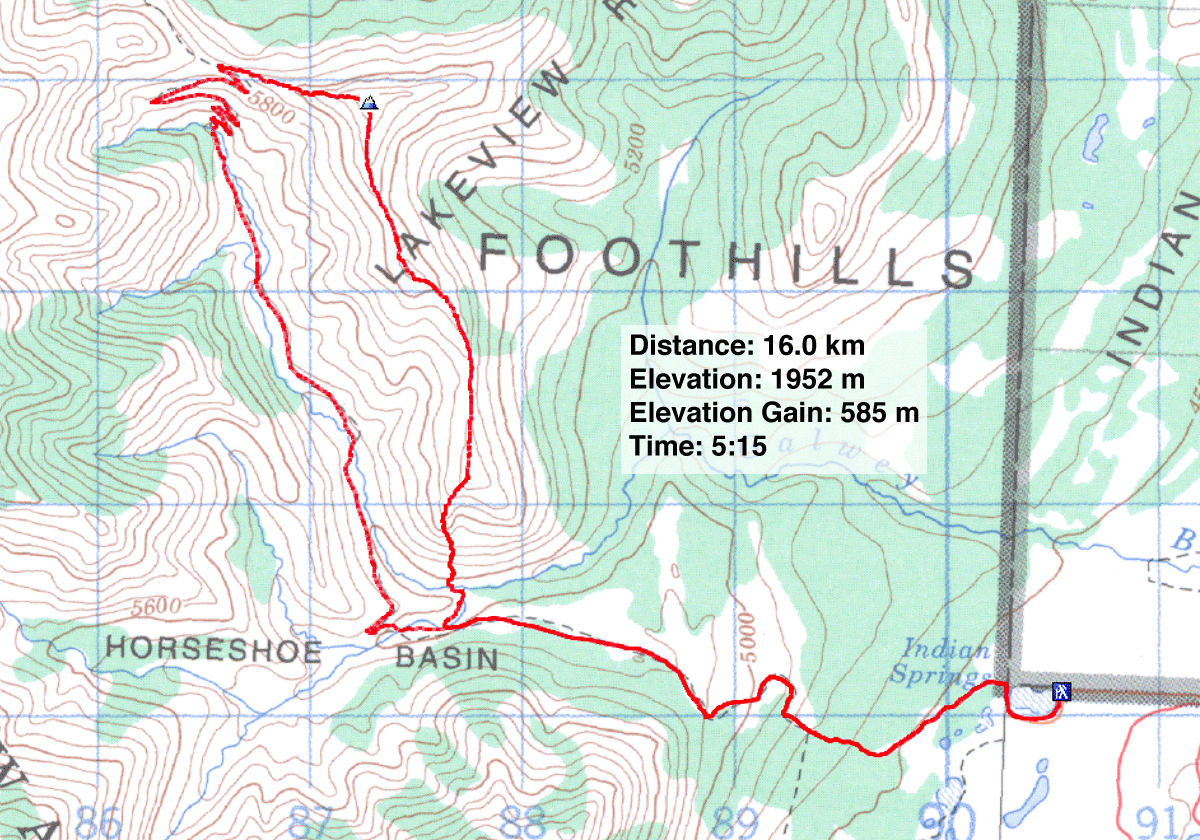
82 H/4 Waterton Lakes

