bobspirko.ca | Home | Canada Trips | US Trips | Hiking | Snowshoeing | MAP | About

Morrowmount
Kananaskis, Alberta
April 10, 2004
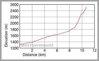
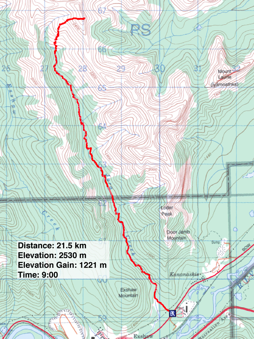
Distance: 21.5 km (13.4 mi)
Cumulative Elevation Gain: 1250 m (4101 ft)
The trip started at Jura Creek, up a popular trail. It leads to a false fault and canyon. Beyond that there was no trail, just a long stretch of valley. As we hiked, we focused on Morrowmount ahead; its lower orange slopes and upper gray ridge are easily recognized.
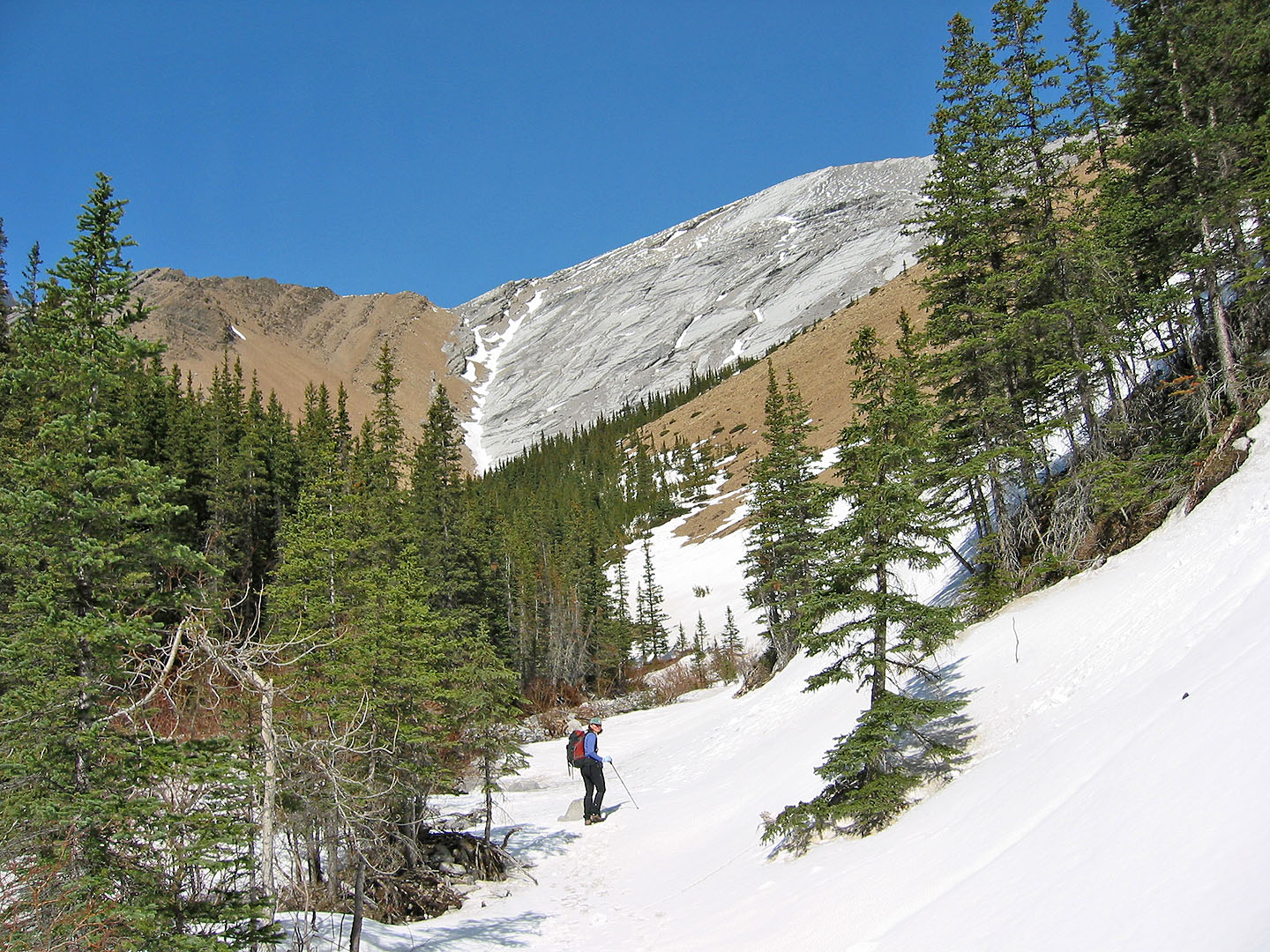
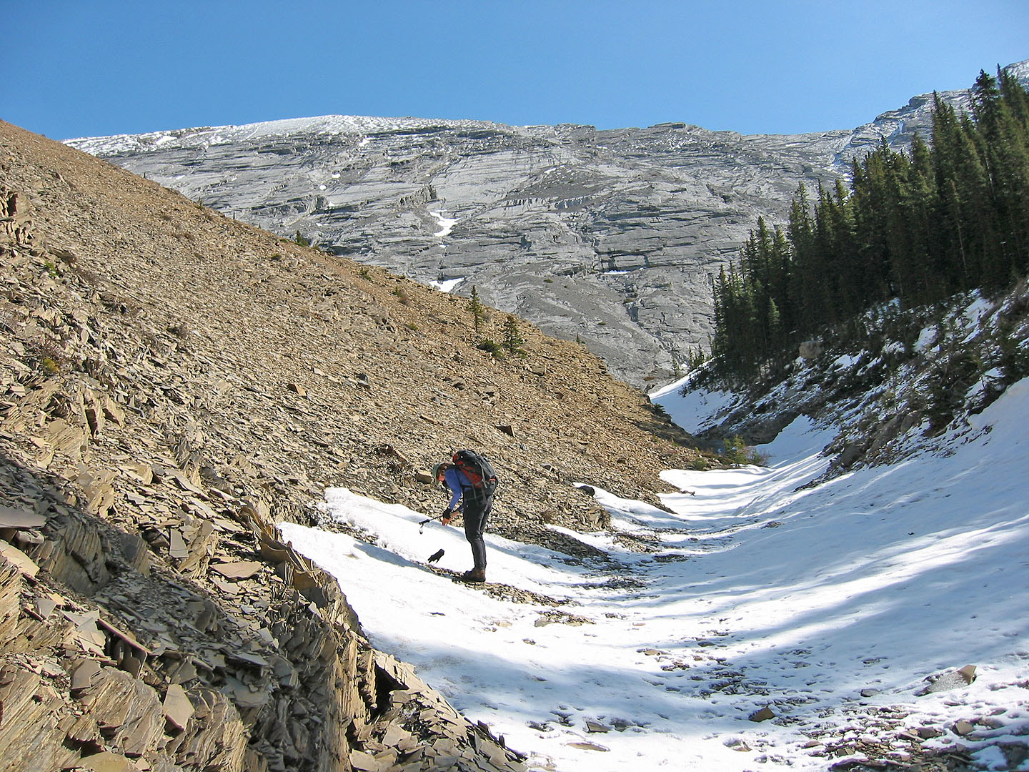
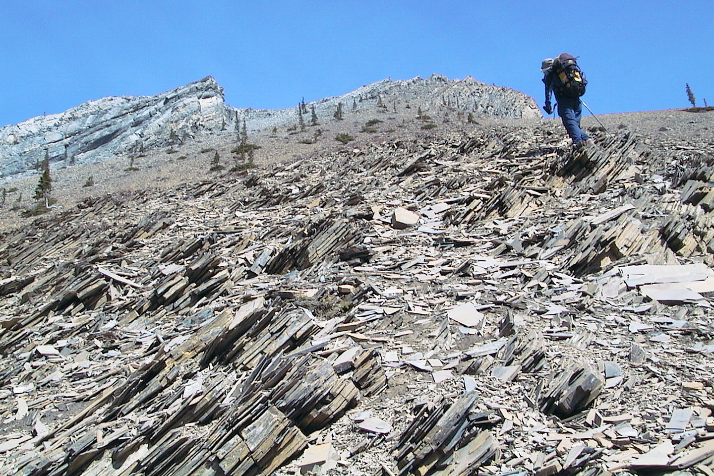
After hiking 9 km up Jura Creek, nearly to the end of the creek, we headed straight up the ridge from the junction of a gully and Jura Creek. Before reaching the ridgetop, we detoured right and around some cliffs. Once on the ridge, we continued hiking up. The grade was easy and the scree under our feet changed from orange to gray. Just before the top, we hit steep slabs. Although not a problem in dry conditions, much of the slabs were under snow, and we had to search for a dry section to climb up. Minutes later, we arrived on the summit where we were rewarded with far-ranging mountain views.
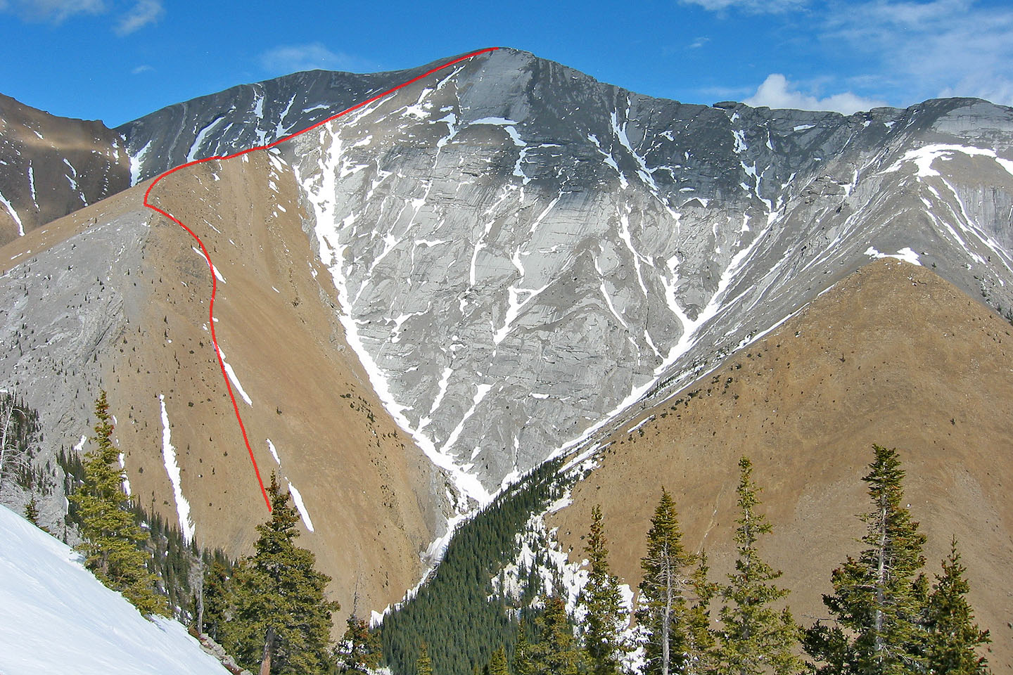
Our approximate ascent route
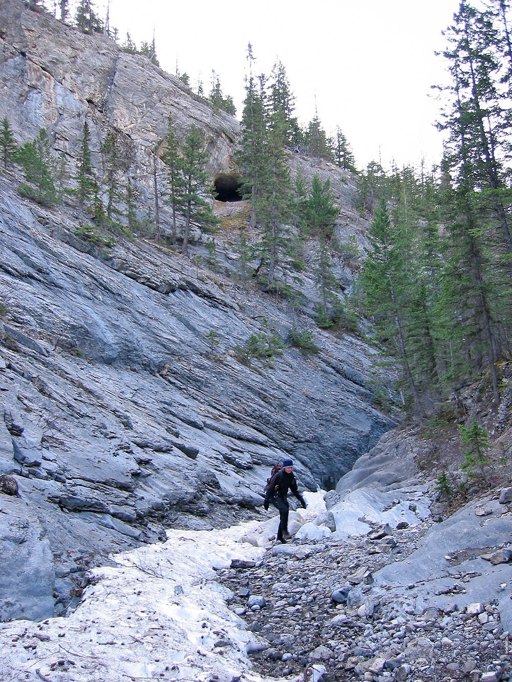
Coming out the canyon on Jura Creek
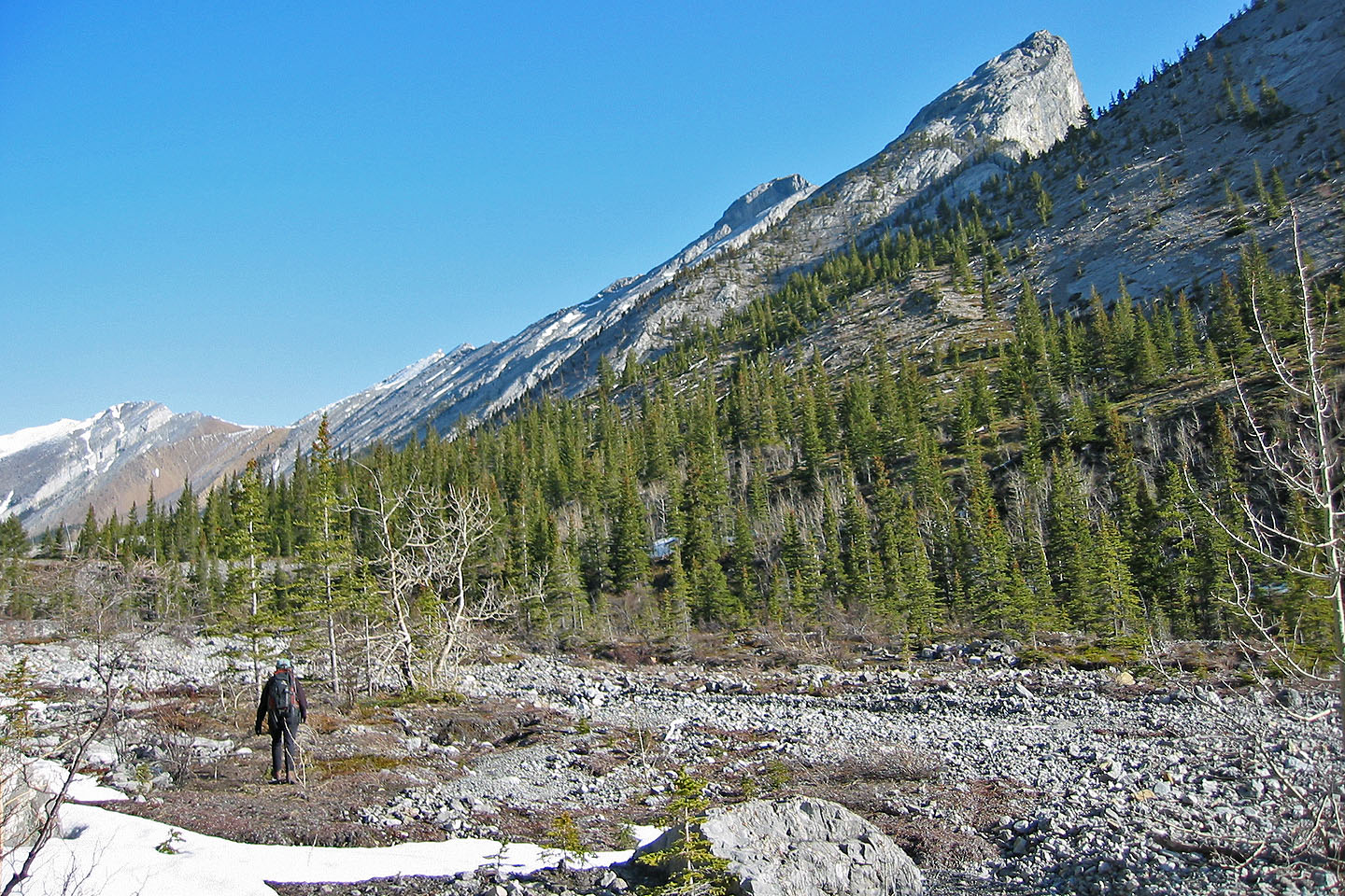
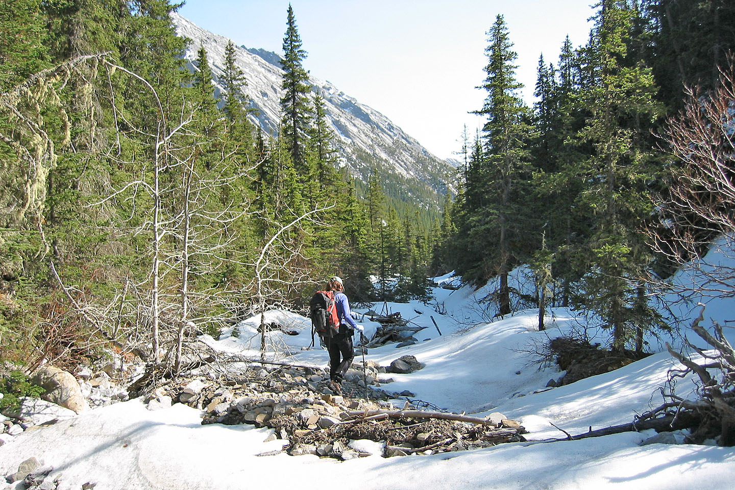
The long approach up Jura Creek valley
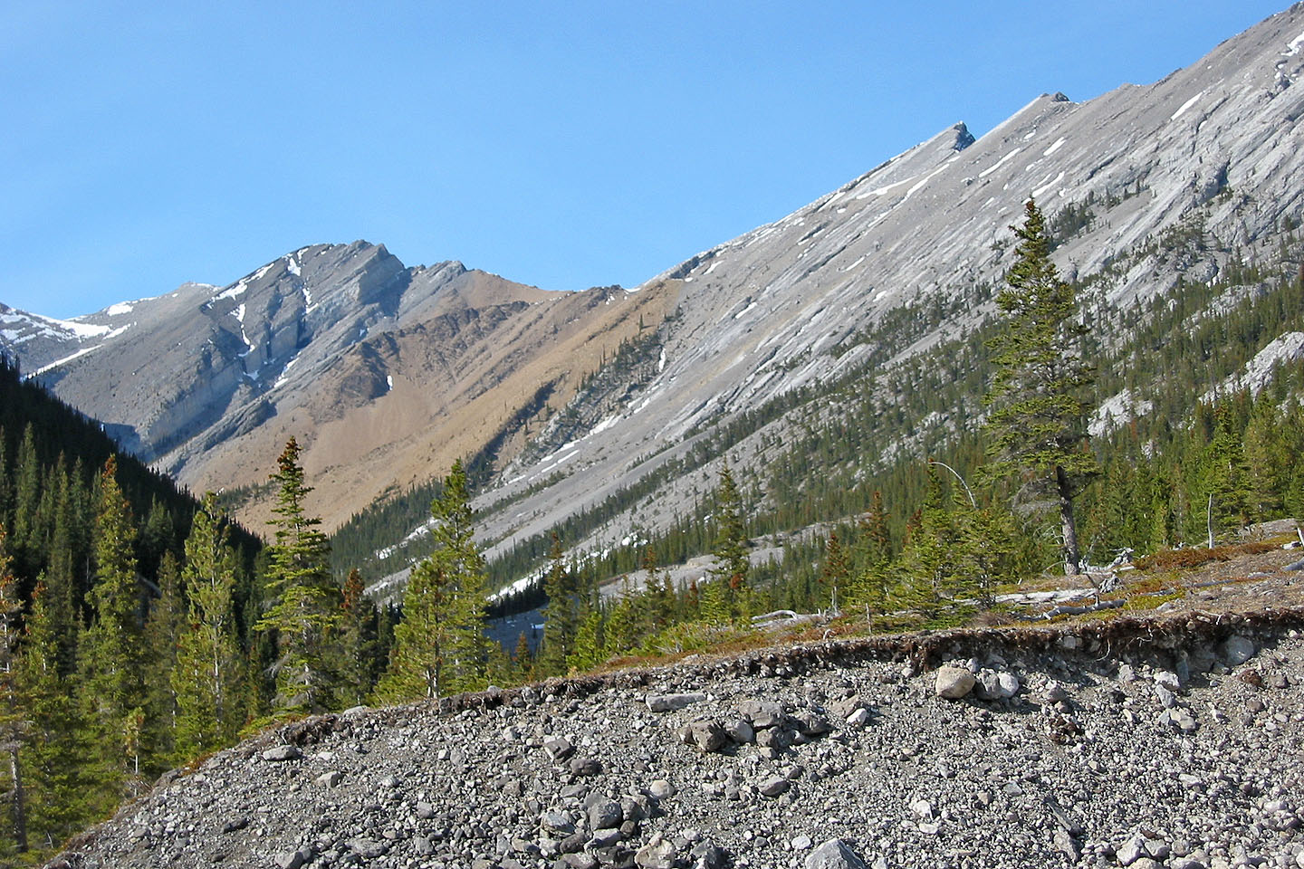
The orange ridge we wanted to ascend can be seen from a distance
We'll soon leave Jura Creek to climb the orange ridge
Pausing before starting our ascent. Nearly half the elevation has been climbed.
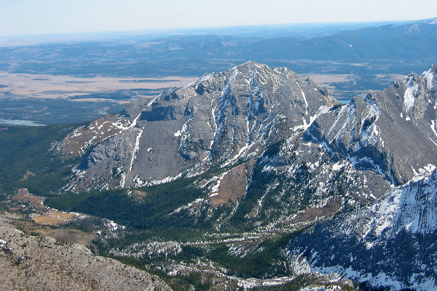
Morrowmount in the background.
Starting up the scree slope
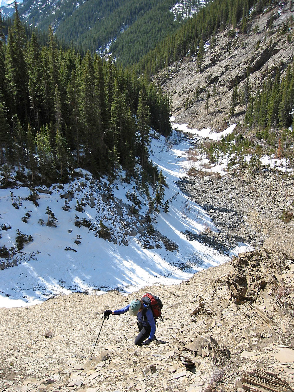
Looking down at the creek

We had to circumvent towering cliffs
Looking back
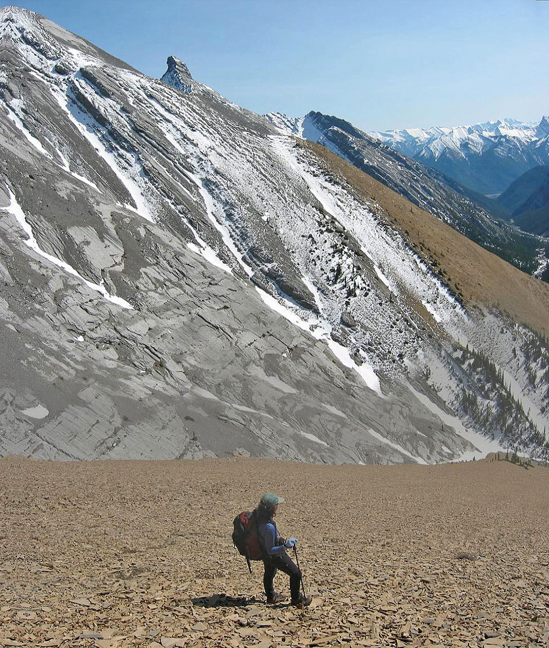
Near the top of the orange ridge
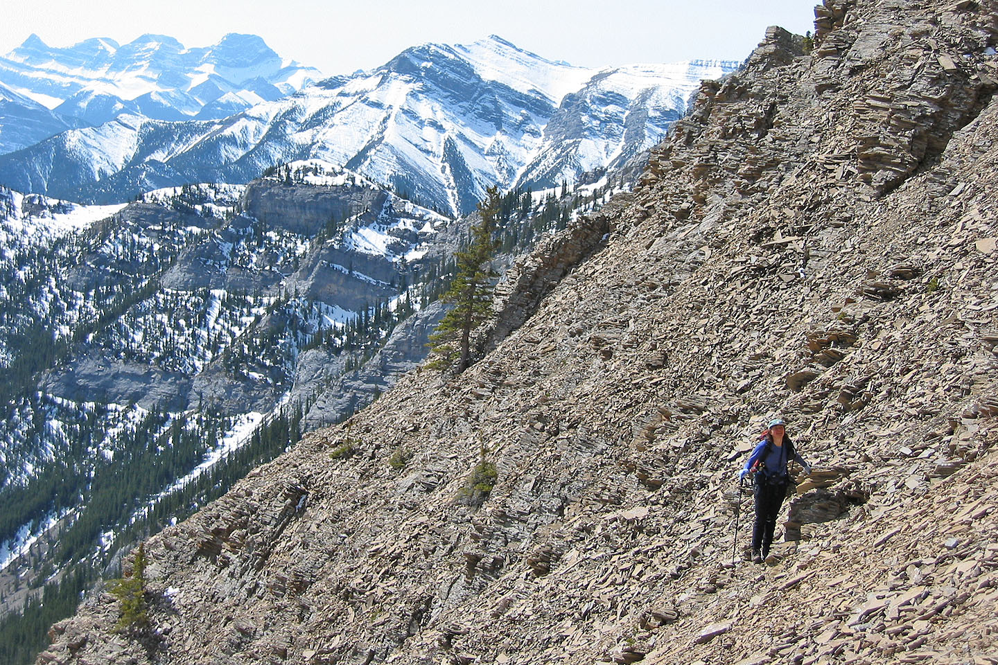
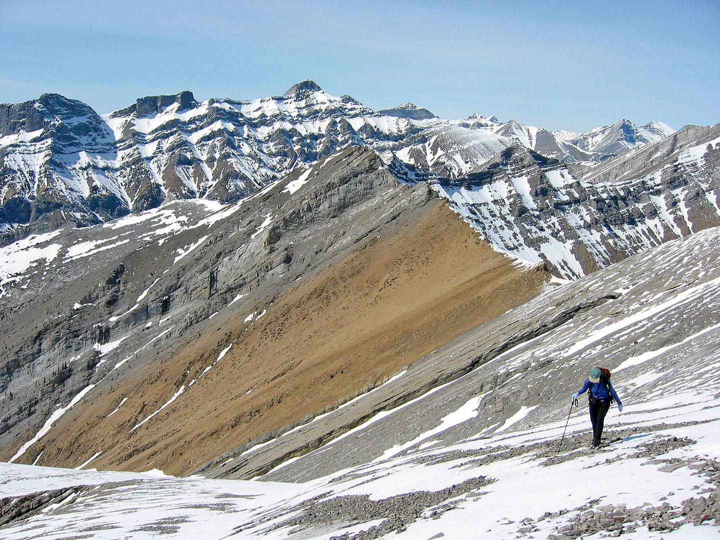
On the ridge looking back at Mount Fable
 The entire trip was mostly a hike
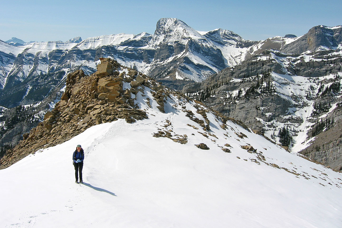
We bypassed a minor point on the ridge
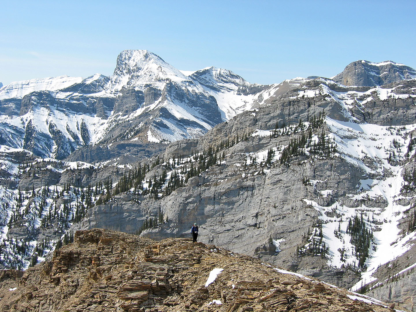
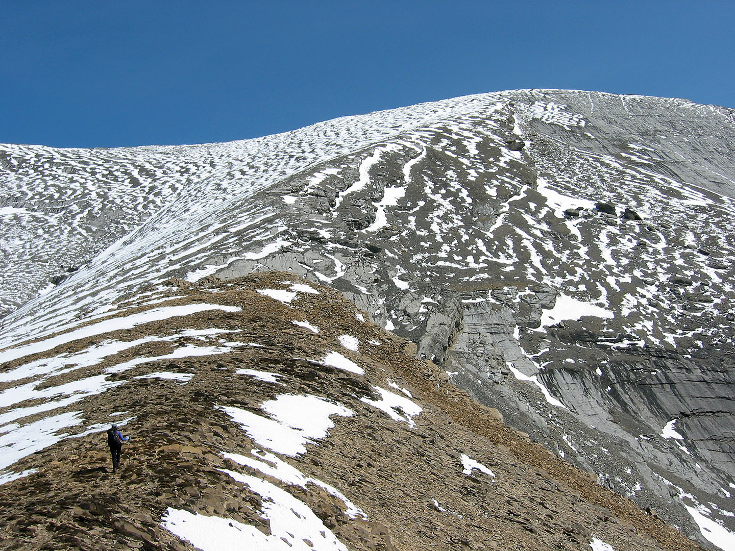
The ridge crest continues on gray rock
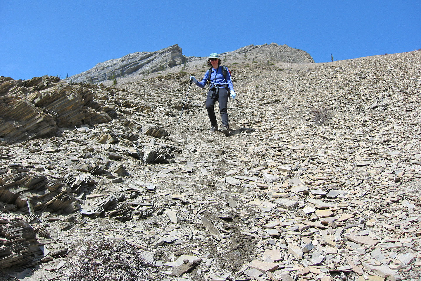
Hiking up the gray scree
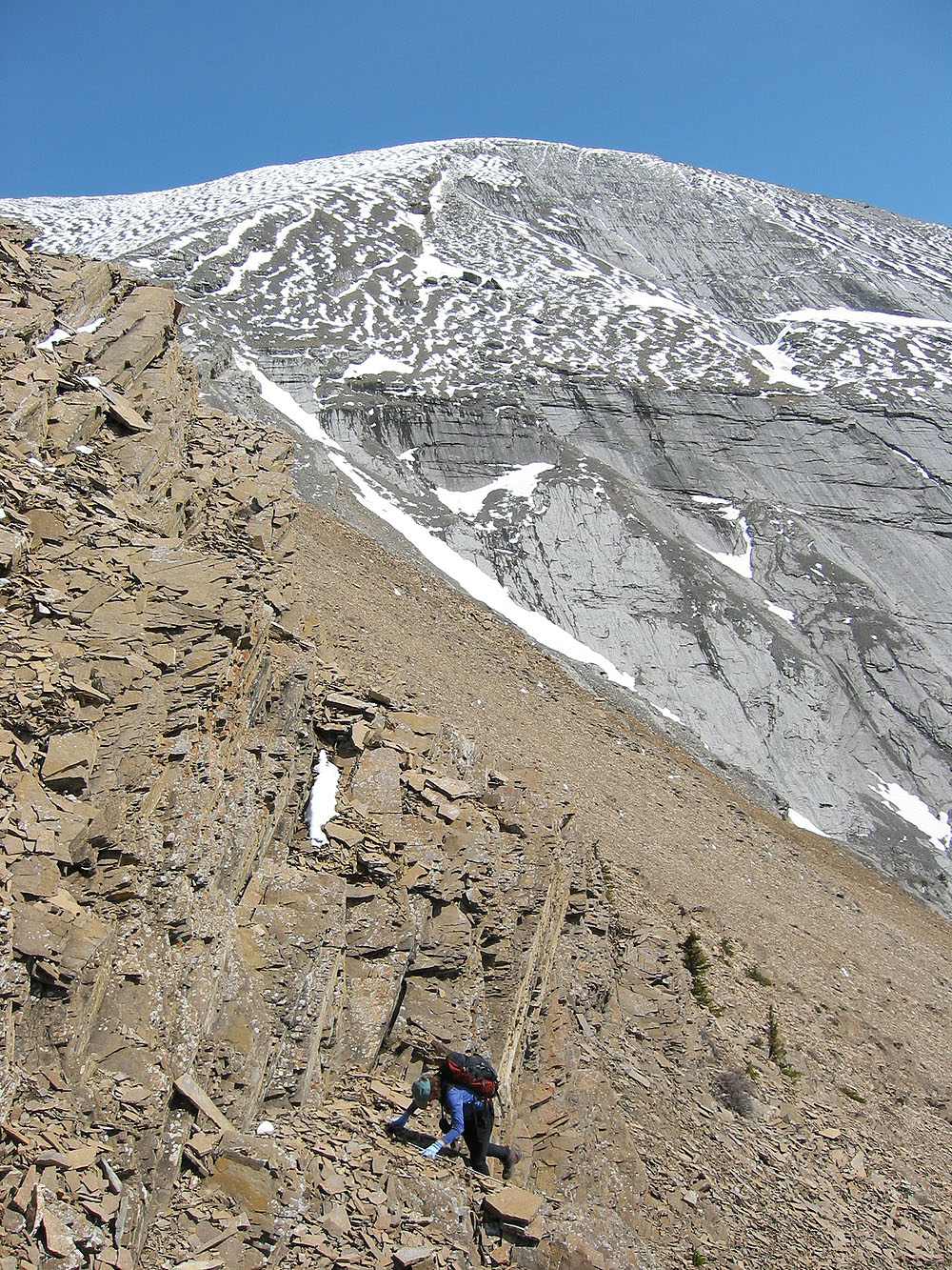
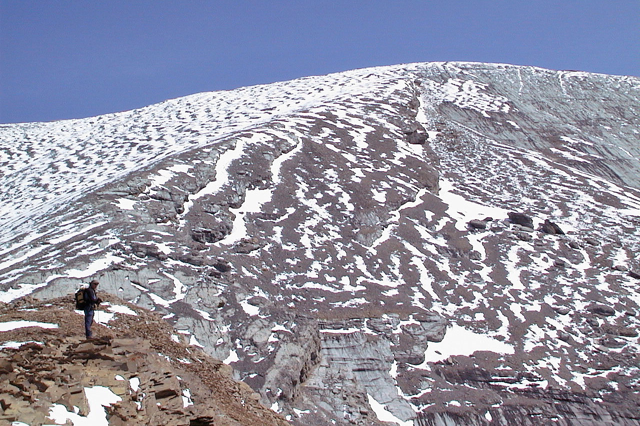
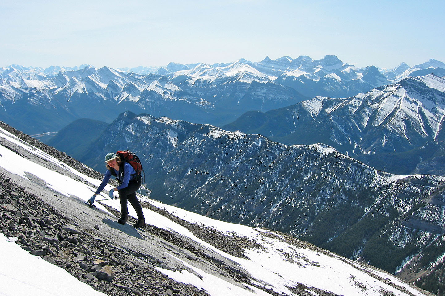 Negotiating slabs
just below the summit. Exshaw Ridge lies below us.
Negotiating slabs
just below the summit. Exshaw Ridge lies below us.
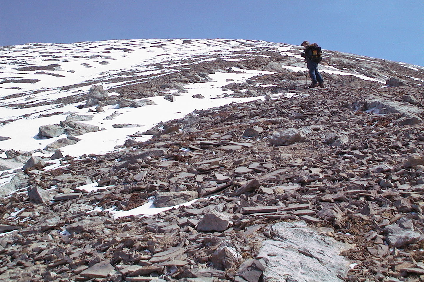
 Almost at the summit
Soft scree made for a quick descent
Coming down the scree
Heading back down Jura Creek
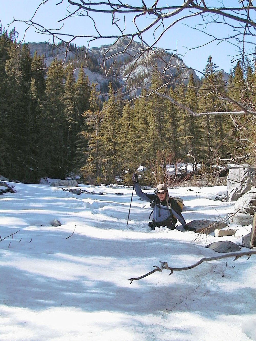
We often broke through the snow crust
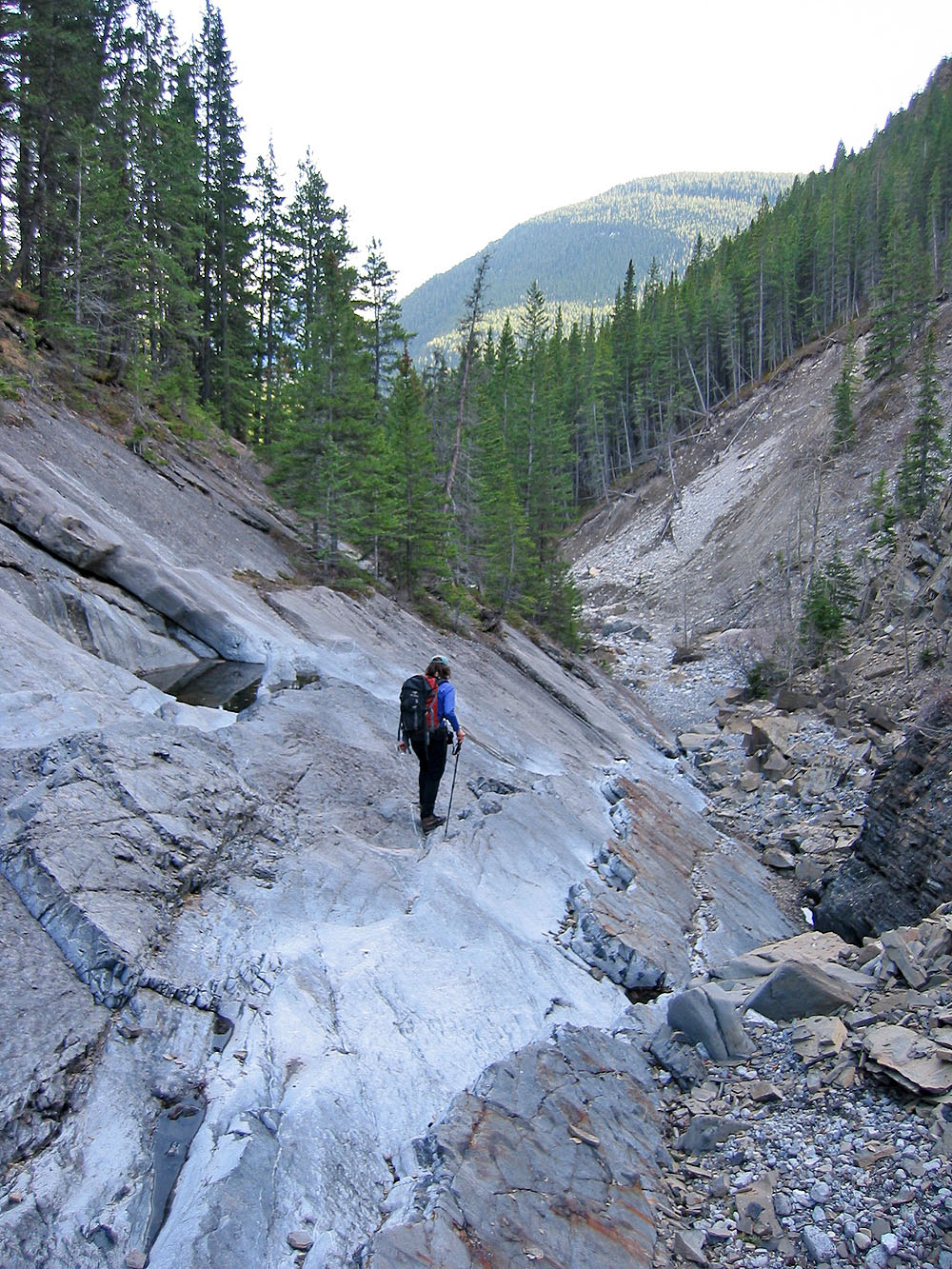
Coming down the false fault
82 O/3 Canmore