bobspirko.ca | Home | Canada Trips | US Trips | Hiking | Snowshoeing | MAP | About
Corral Creek Mountain
aka Cougar Hill
Kananaskis, Alberta
February 4, 2012
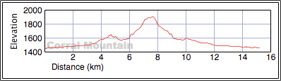
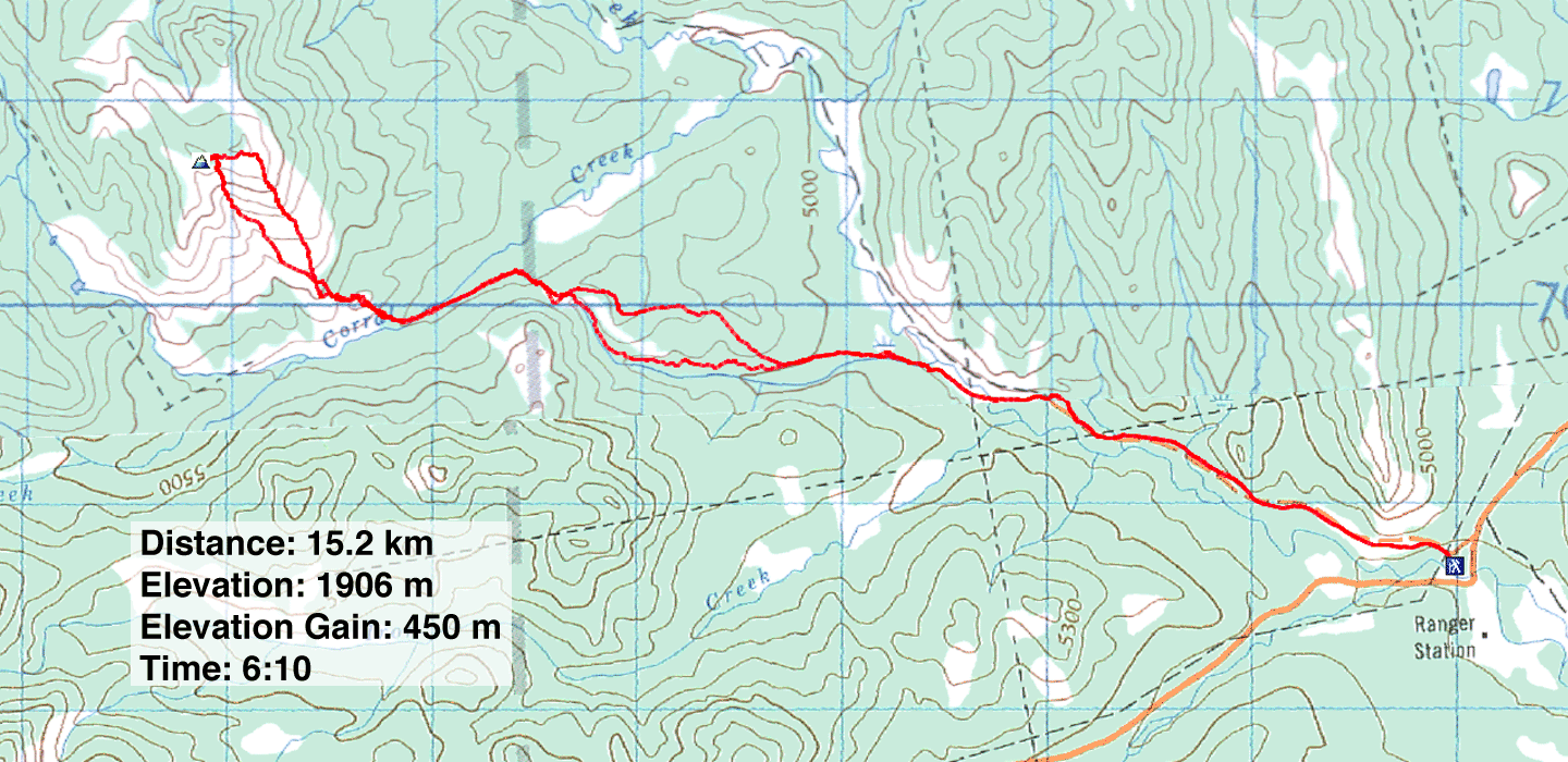
Distance: 15.2 km (9.4 mi)
Cumulative Elevation Gain: 538 m (1765 ft)
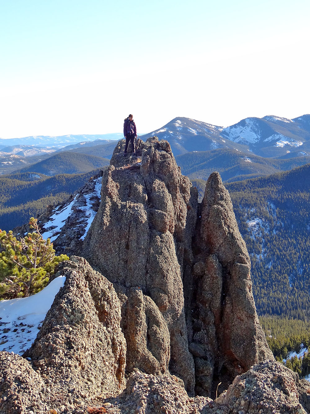
Few unnamed peaks in the foothills can claim to being impressive, but this one can. It certainly impressed Dinah and me. From afar, it looked like a horn with a dizzying drop on one side. And in a photo of Dinah on the summit, she appears to be standing on a spire. Adding to the photogenic summit was an enjoyable approach. I called it Corral Mountain, but later it became known as Corral Creek Mountain.
Corral Creek Mountain can be reached from the Indian Graves trailhead. In the summer, one can hike up the Willow Creek exploration road and then take the road that runs alongside Corral Creek (see Kananaskis Country Trail Guide). But we knocked off a few kilometres by taking a scenic shortcut across frozen marshes.
From the trailhead, we hiked up the road 2.3 km to a side road that crosses Willow Creek. After crossing the creek, we walked up the road a short distance before crossing the frozen marshes to get to a low ridge on the other side of the valley.
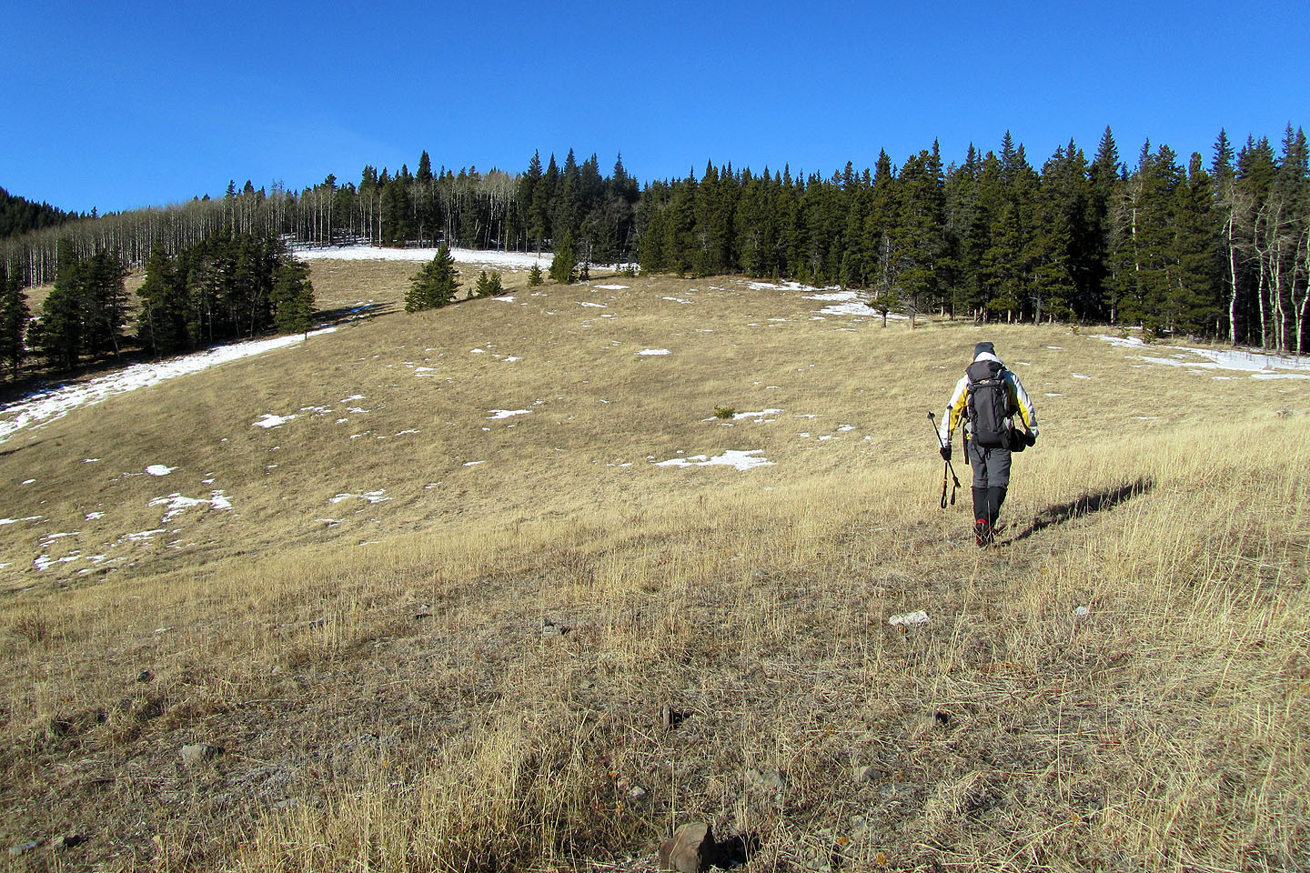
On the ridge, we followed a trail until it turned left and dropped. We left the trail and struck out for the expansive grassy slopes that climbed to a wooded section on the ridge. We continued hiking through the forest, keeping left to avoid gaining unnecessary elevation. Before dropping down to the road that runs alongside Corral Creek, we wanted to catch the little spur that bends southwest and gently descends. Bushwhacking was light, and before we reached the Corral Creek road, we found trails that led to the road. We walked up the road to the foot of Corral Creek Mountain.
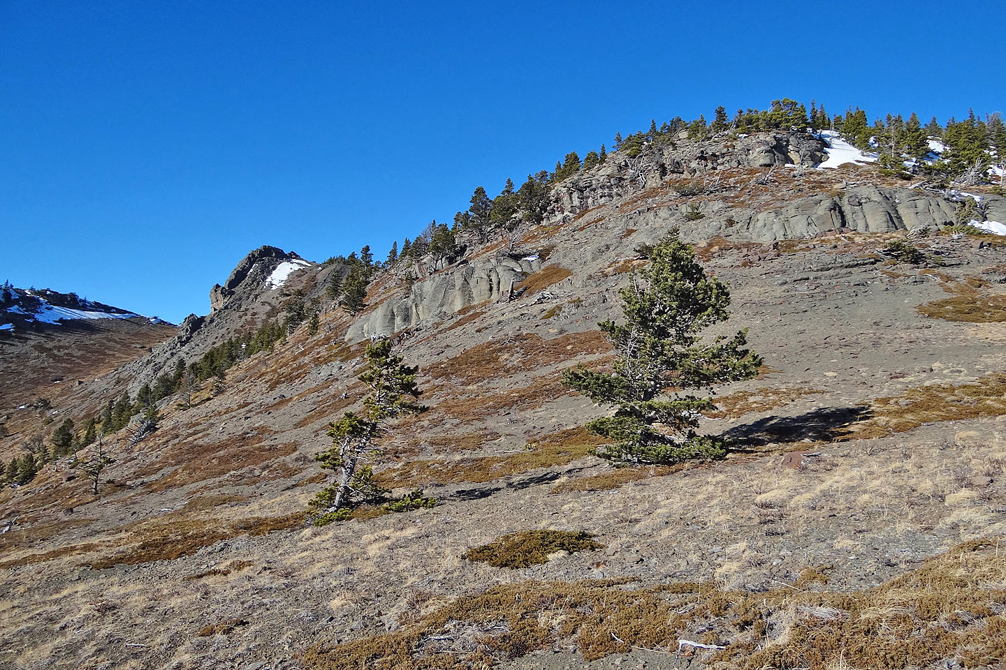
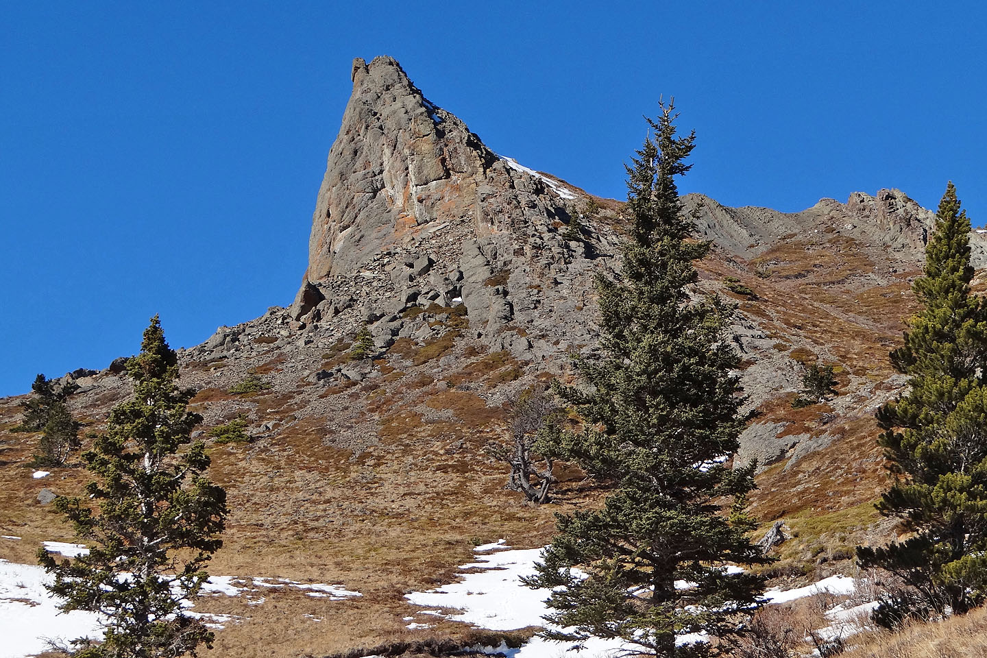
After crossing Corral Creek, we ascended mostly treed slopes. We kept left as the trees seemed thinner there. After breaking out of the trees, a striking sight lay before us. A rounded mound – the east summit – was strewn with boulders on its lower slopes and creased with cliff bands higher up, but my eyes drew a bead on the west summit, a striking, horn-shaped rock.
We easily climbed the successive cliff bands and reached the top of the mound only to find it treed. So we turned our attention to the horn, which was actually a narrow ridge of rock, and wondered if it was higher. After a brief traverse, we discovered it was indeed higher. Moreover, it offered a beautiful setting for summit photos. We spent a delightful half-hour exploring the summit ridge and taking photos under blue skies in temperatures well above freezing. If this had been a spring day, I would have thought the weather superb, but since it was the dead of winter, it was phenomenal.
On the way back we altered our route slightly. Instead of traversing back to the east peak, we descended the gully between the two summits where scree and snow patches allowed a quick descent. And instead of climbing back up the ridge with the grassy slope, we followed a valley trail below it that led back to the marshes.
There are bigger peaks out there and peaks with names, but for us this little guy had its own appeal.
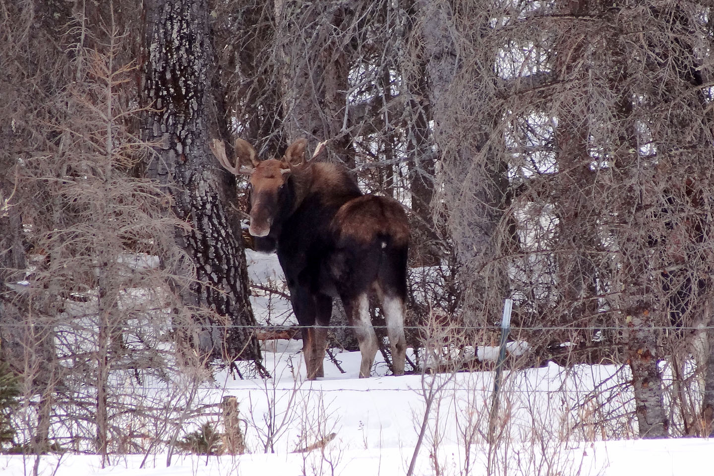
Moose are a common sight in the area (taken while hiking up the road)
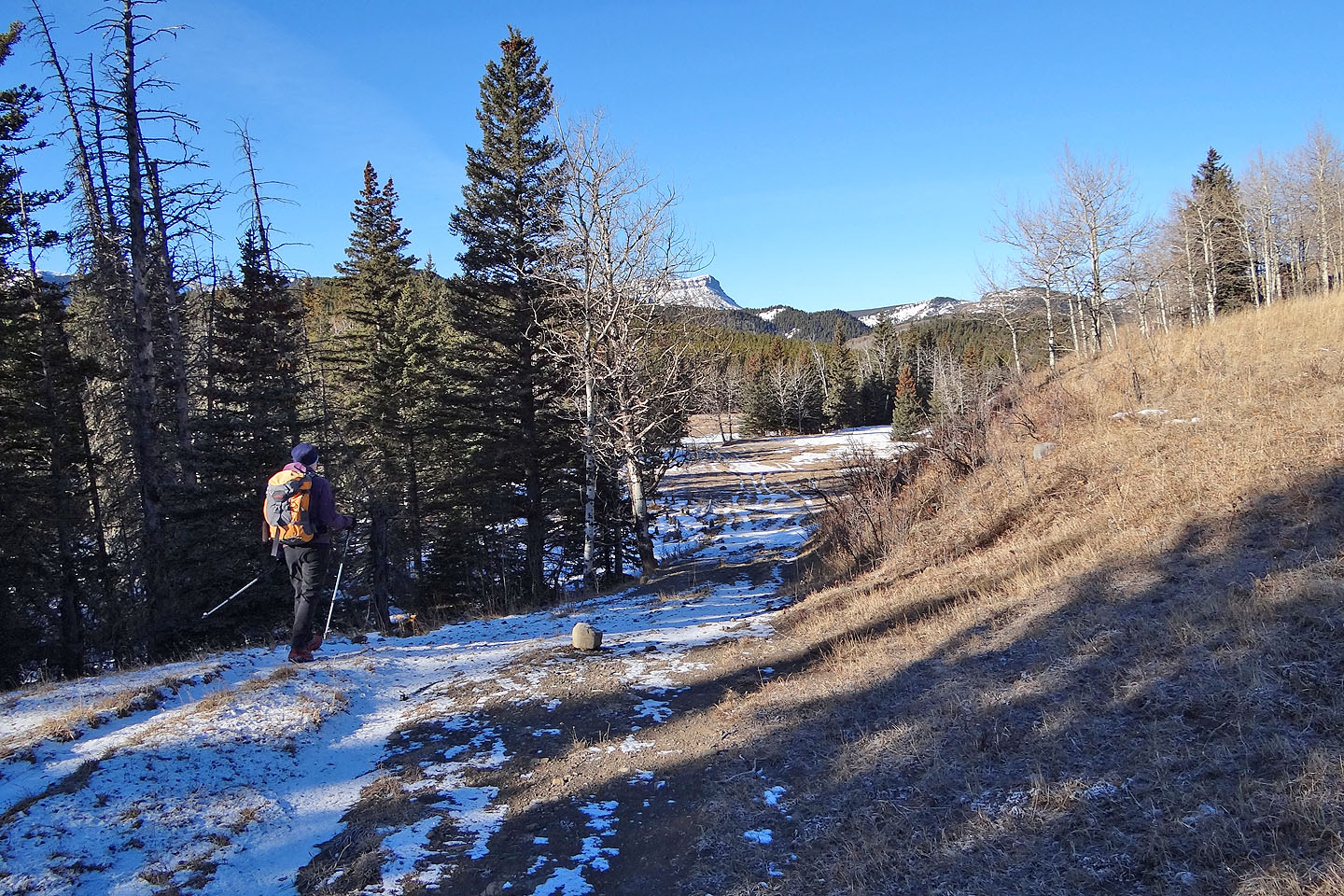
On the side road that leads to Willow Creek
Willow Creek taken the previous week when there was no snow cover, and we had time only to check the route
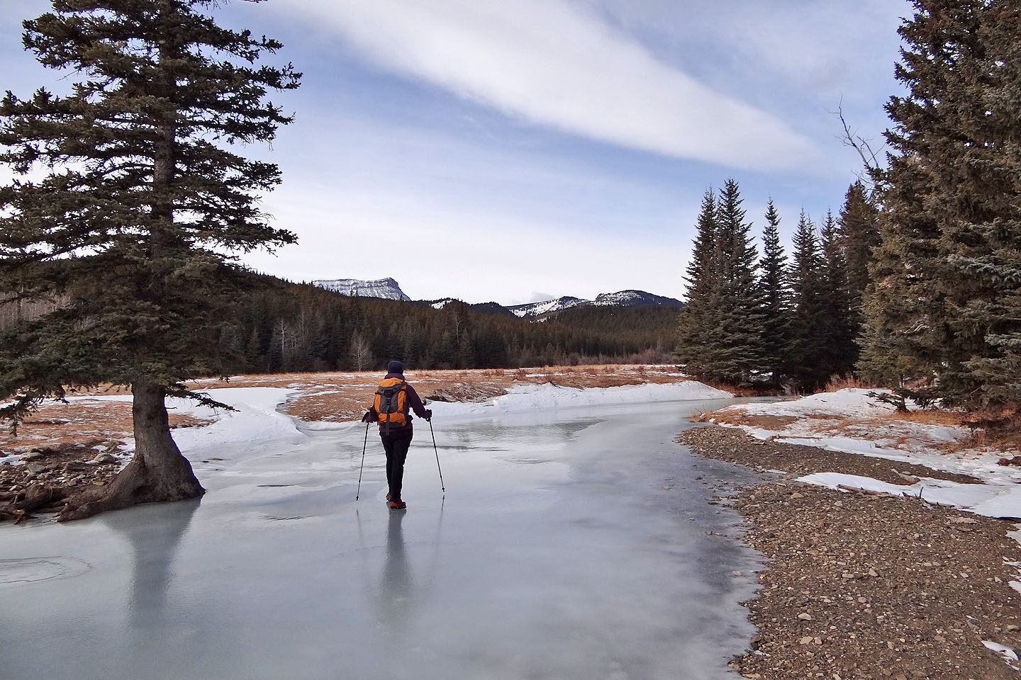
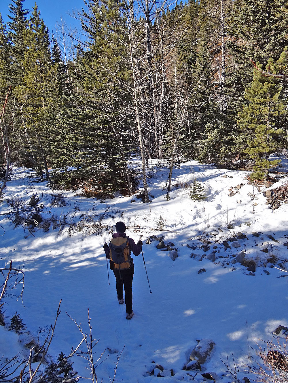
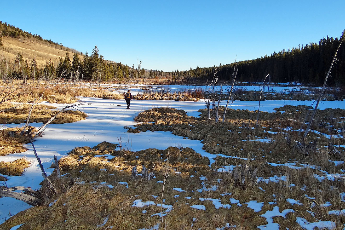
Crossing the marshes. The area was prettier when it was free of snow (mouse over).
Crossing the marshes
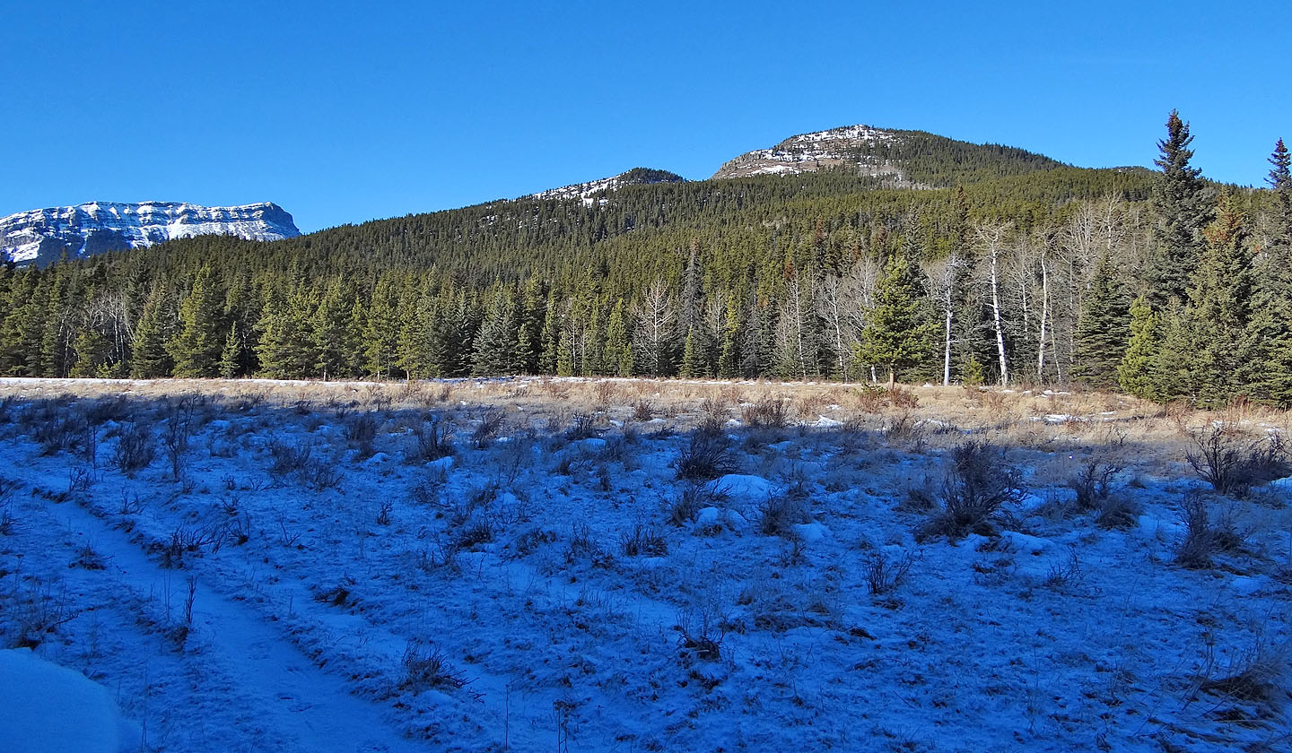
Extensive marshes in the valley (mouse over to see frozen bubbles, photos from previous week)
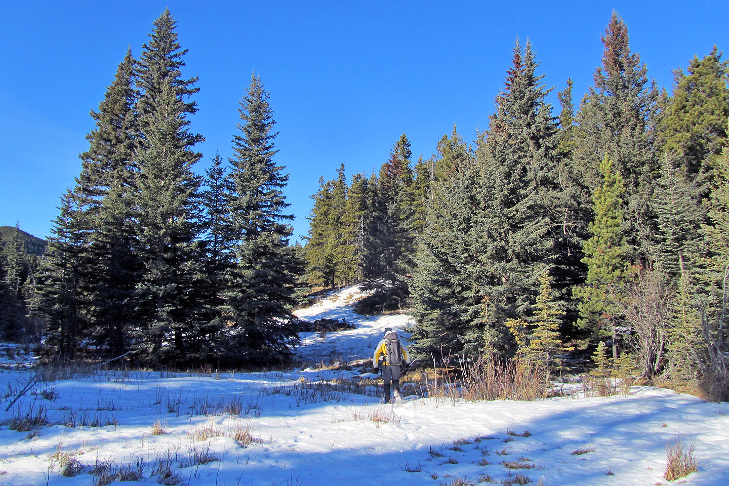
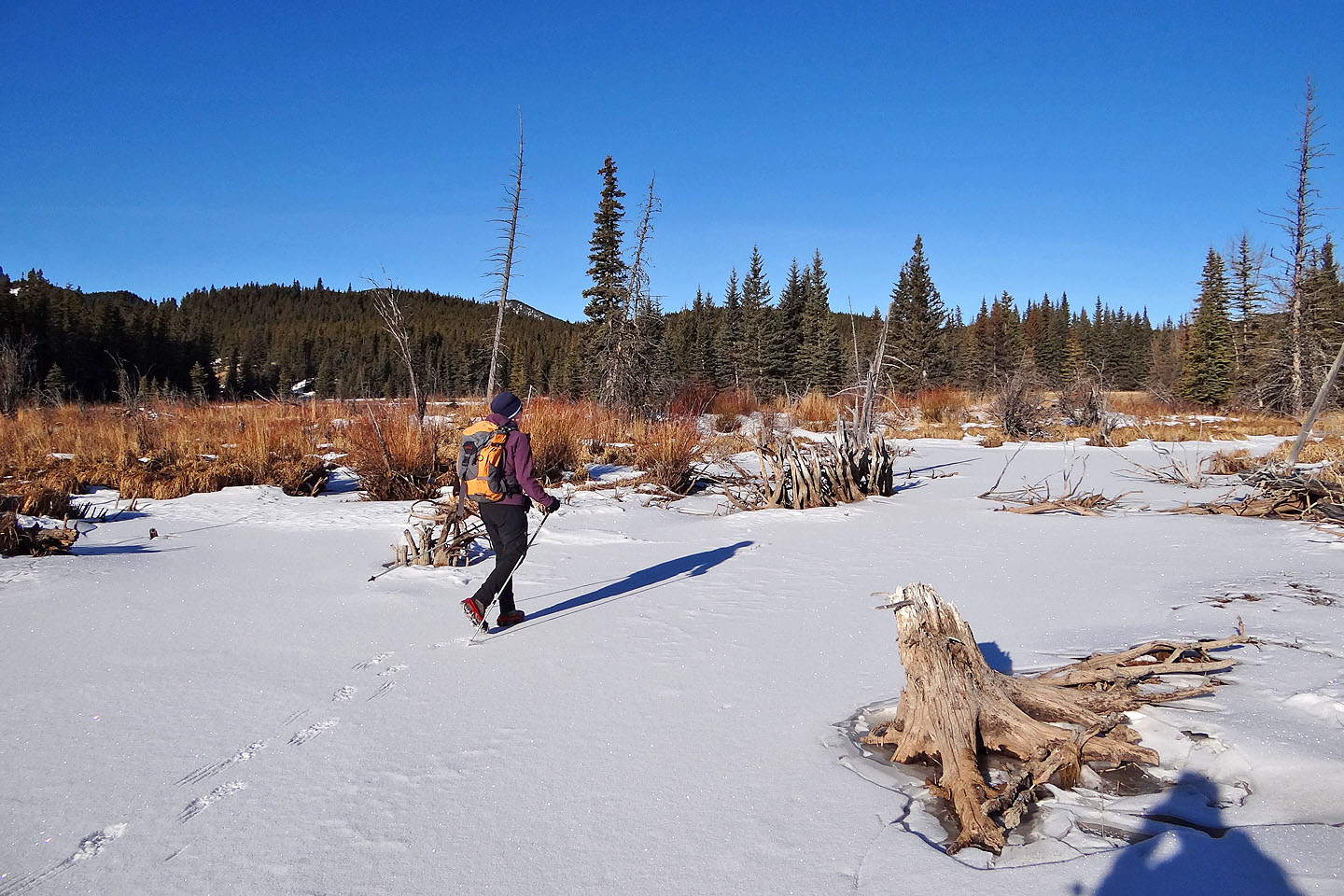
After crossing the marsh, we started up the ridge
There's a trail, but we soon left it
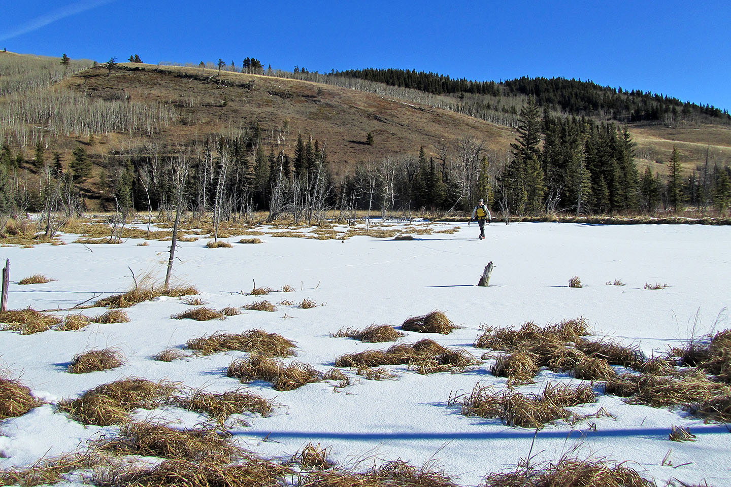
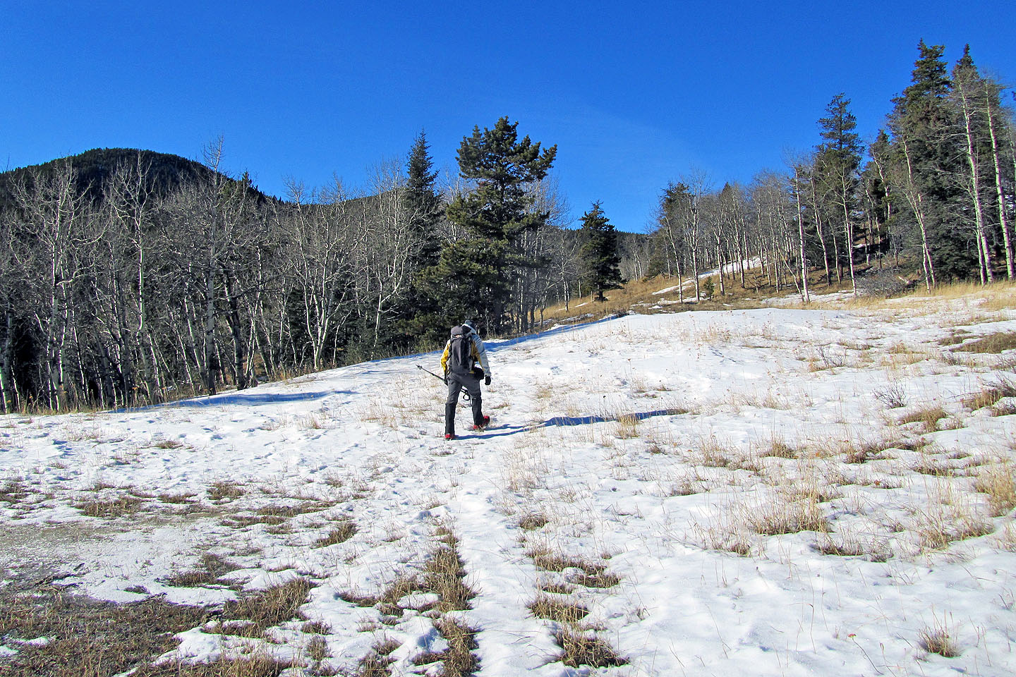
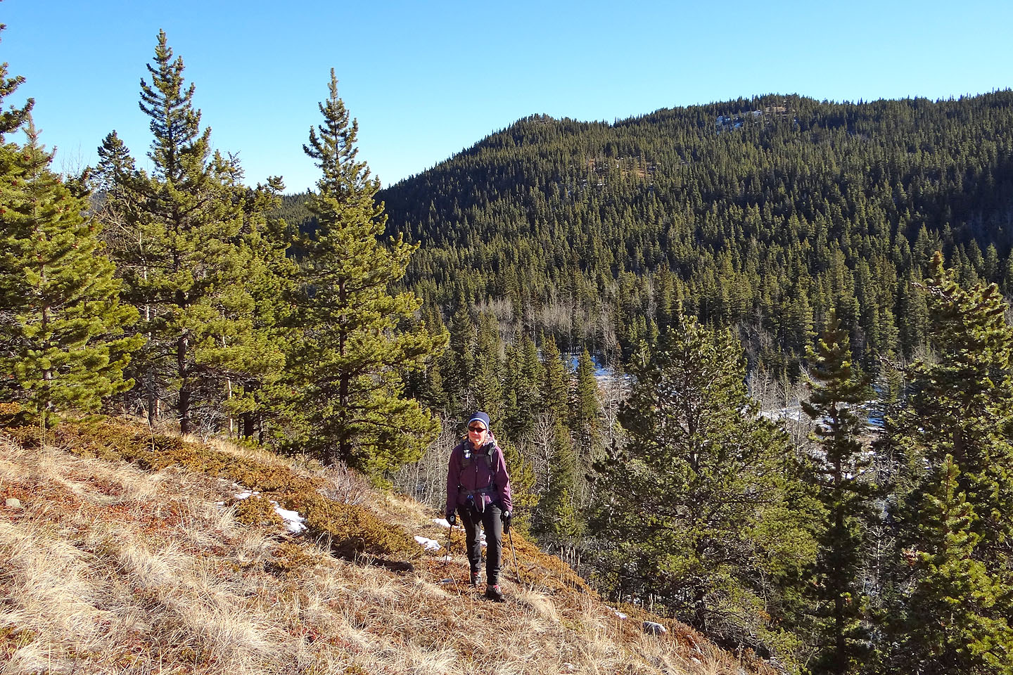
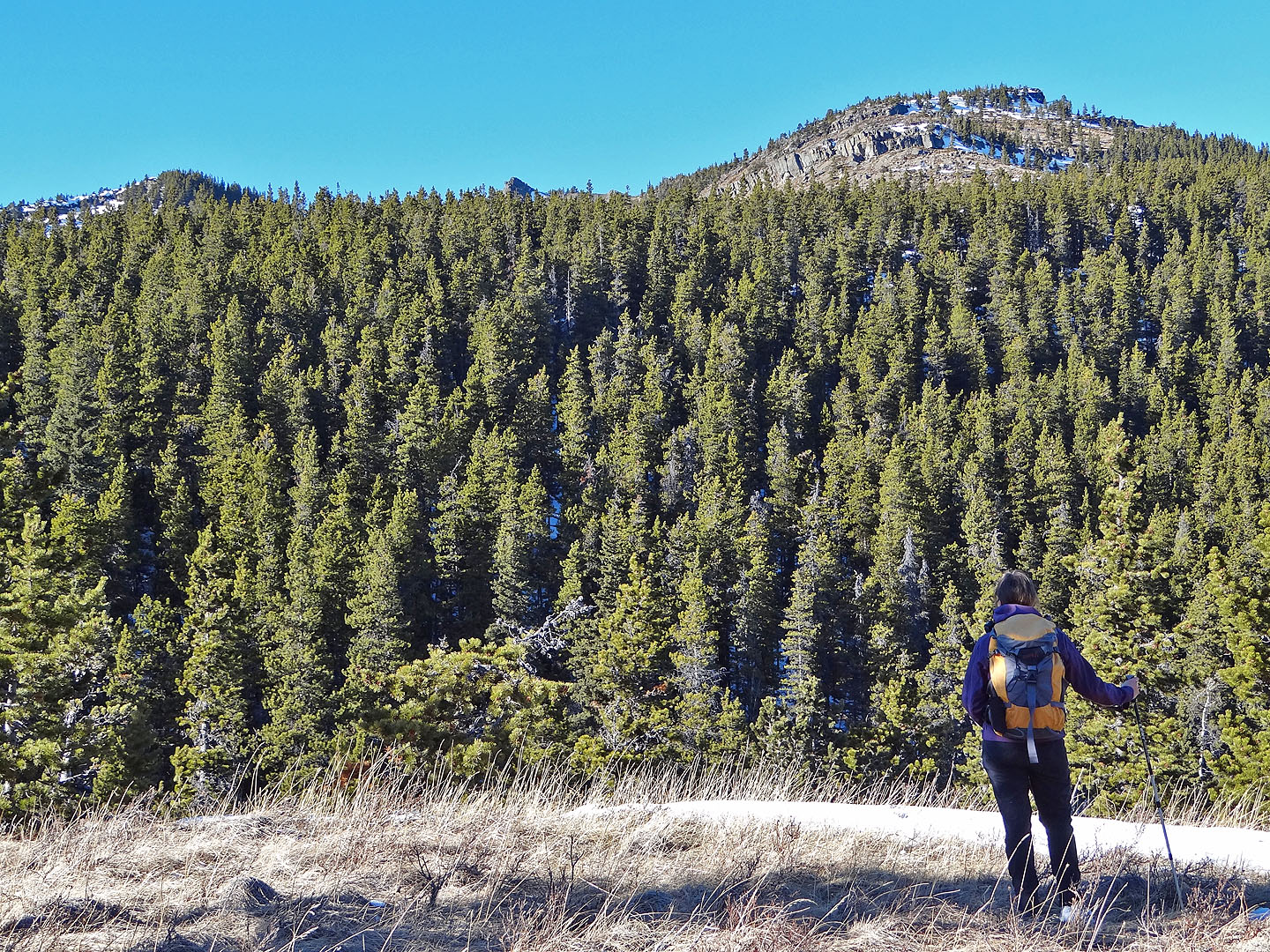
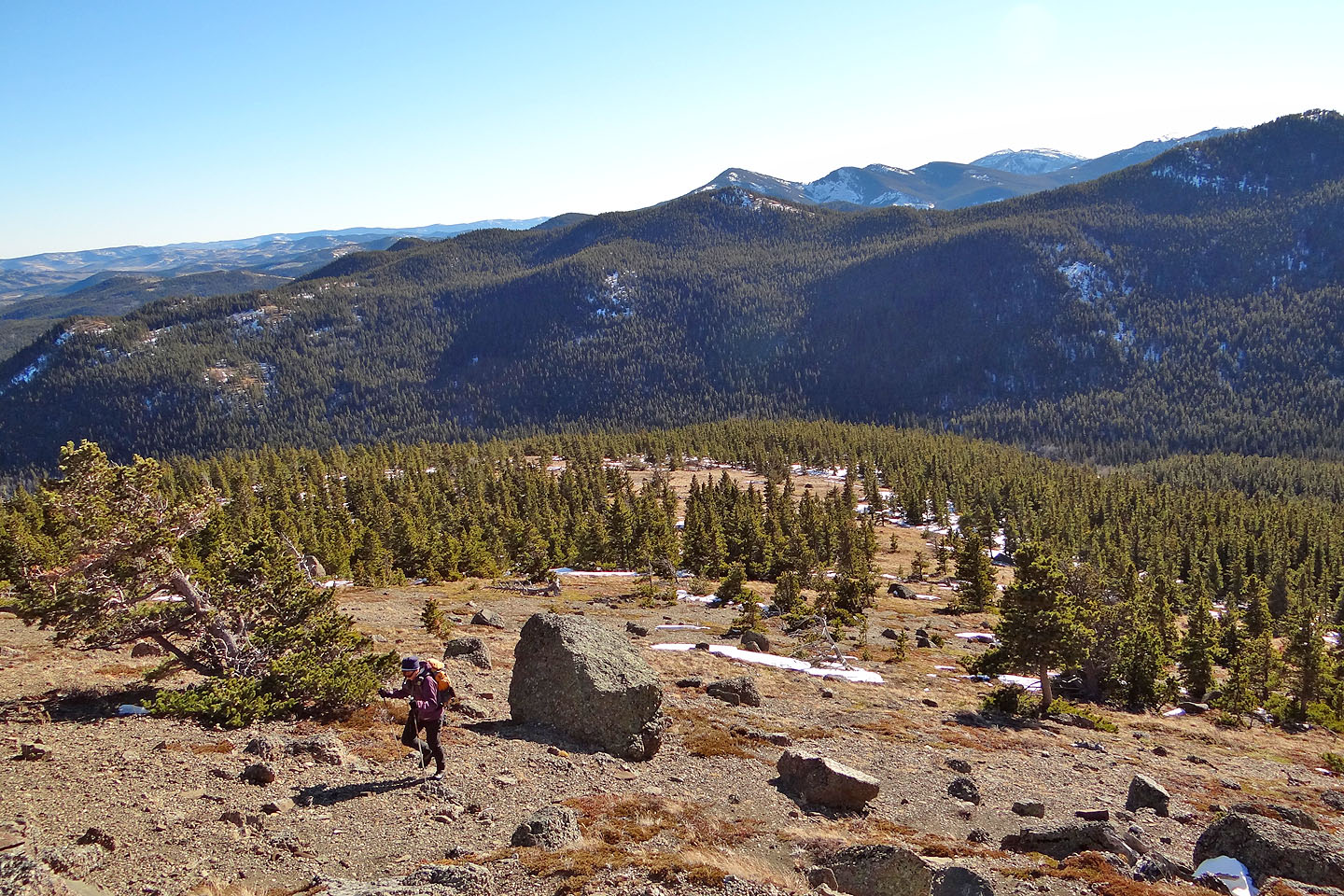
On the spacious grassy slopes
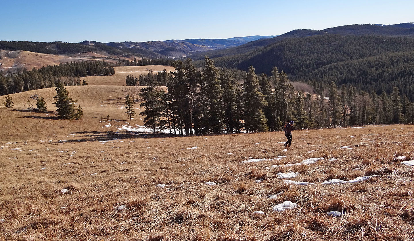
Looking back along the grassy swathe we hiked
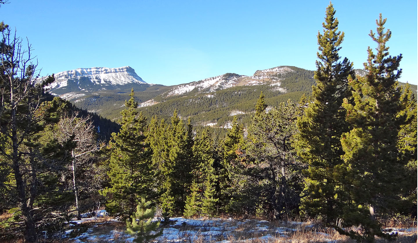
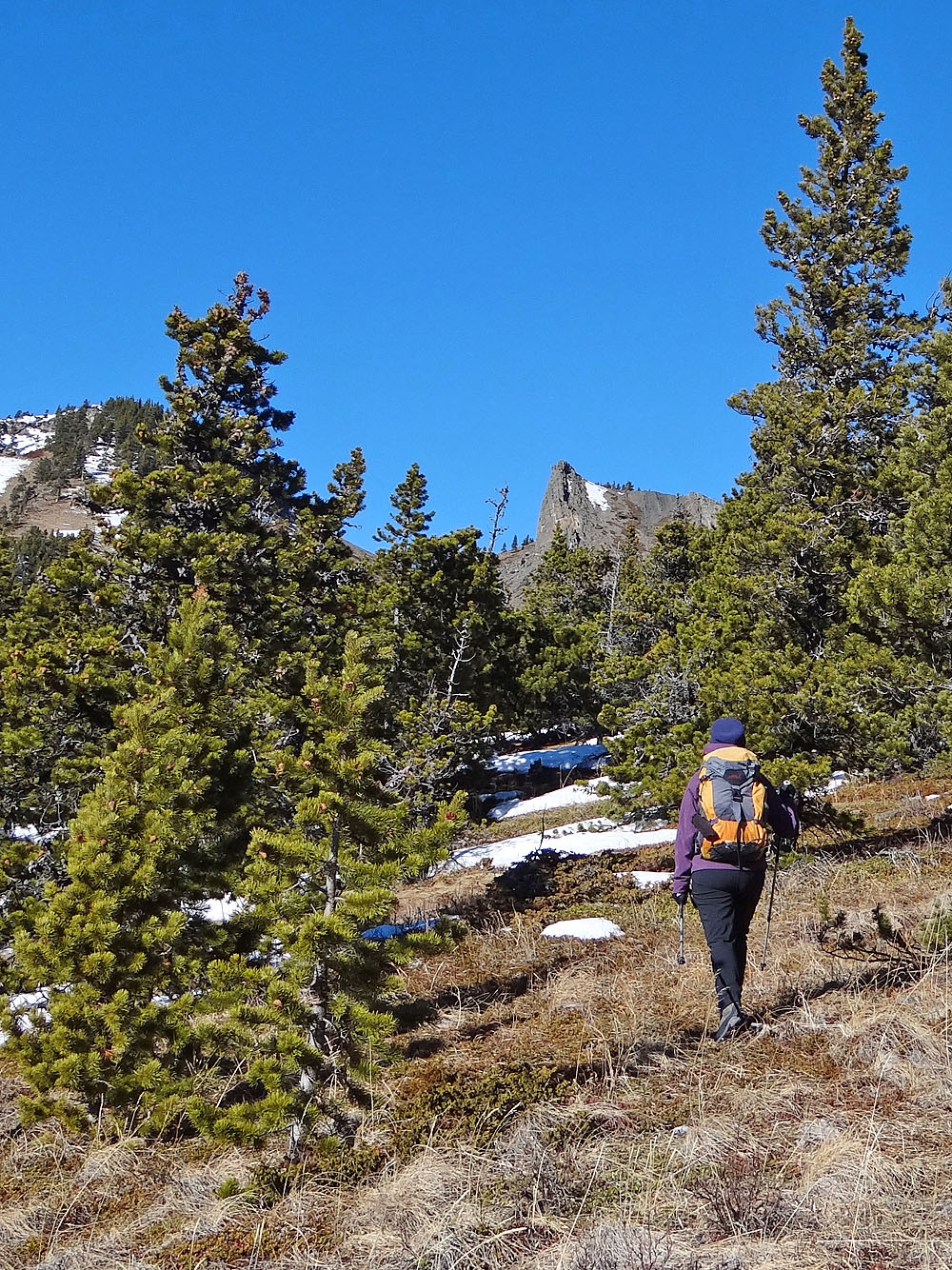
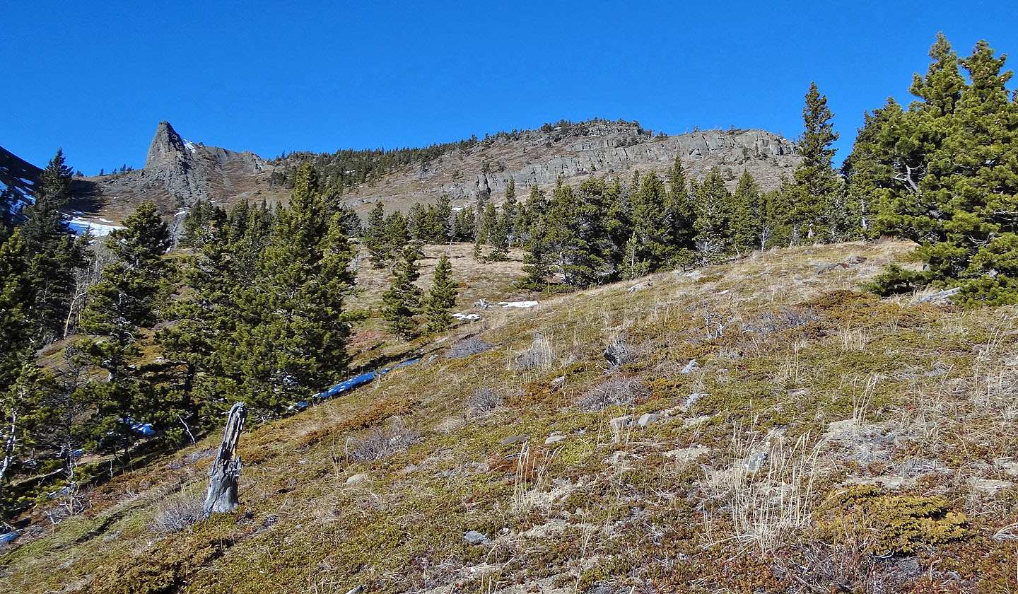
We got a glimpse of Corral Creek Mountain before dropping down to Corral Creek road (mouse over for a
close-up)
Corral Creek Mountain from the road
Crossing Corral Creek
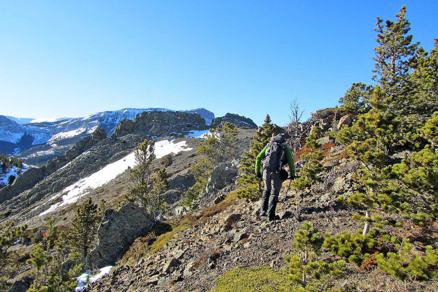
Looking back at the wooded ridge we came down
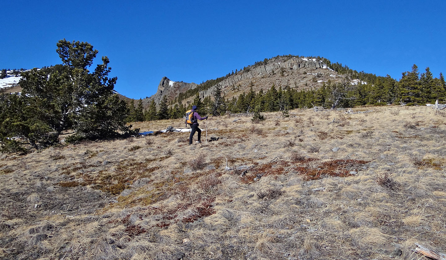
We thought the summit was on the right, but it's actually the rock point to the west (centre). From here we
dropped down left, losing little elevation.
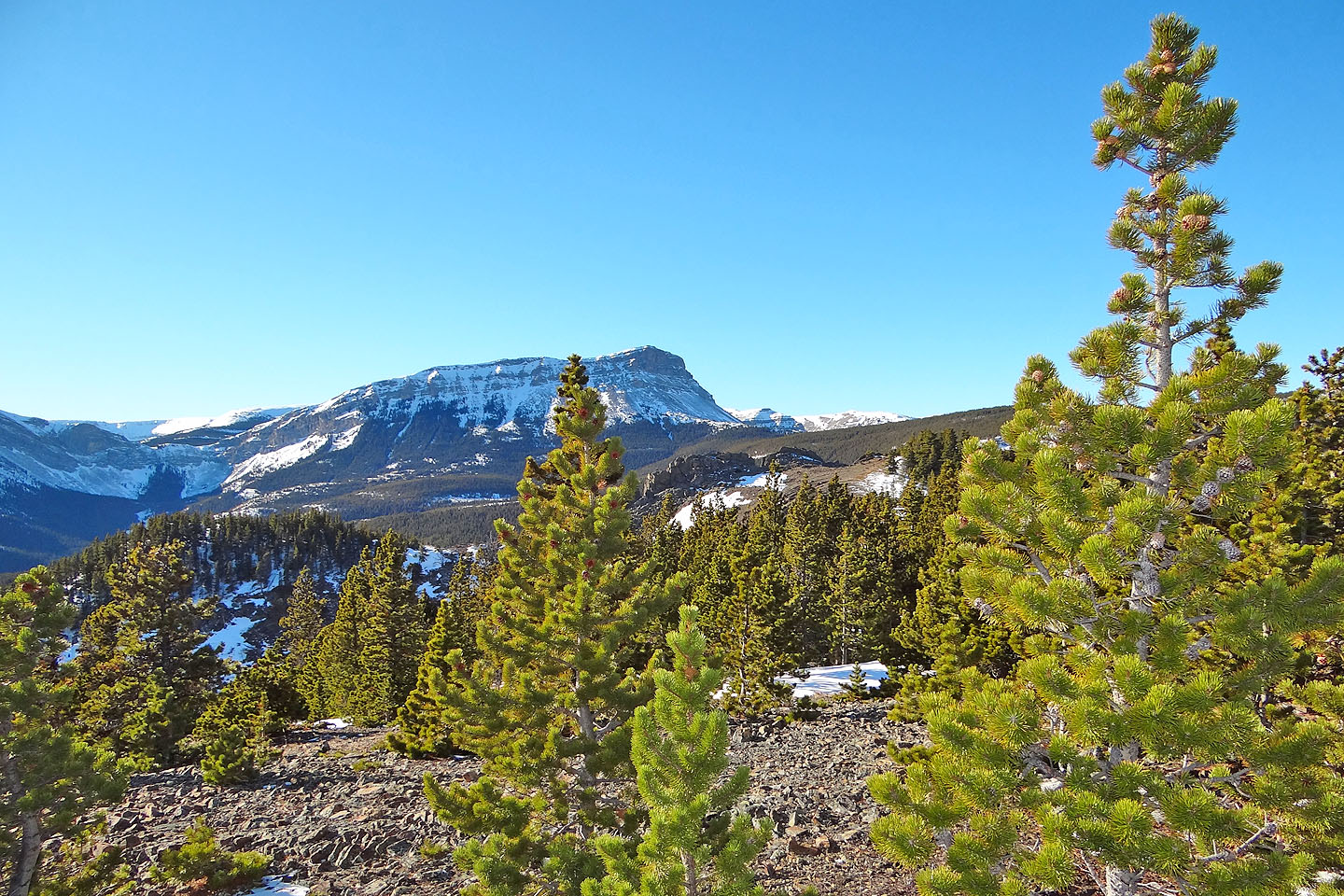
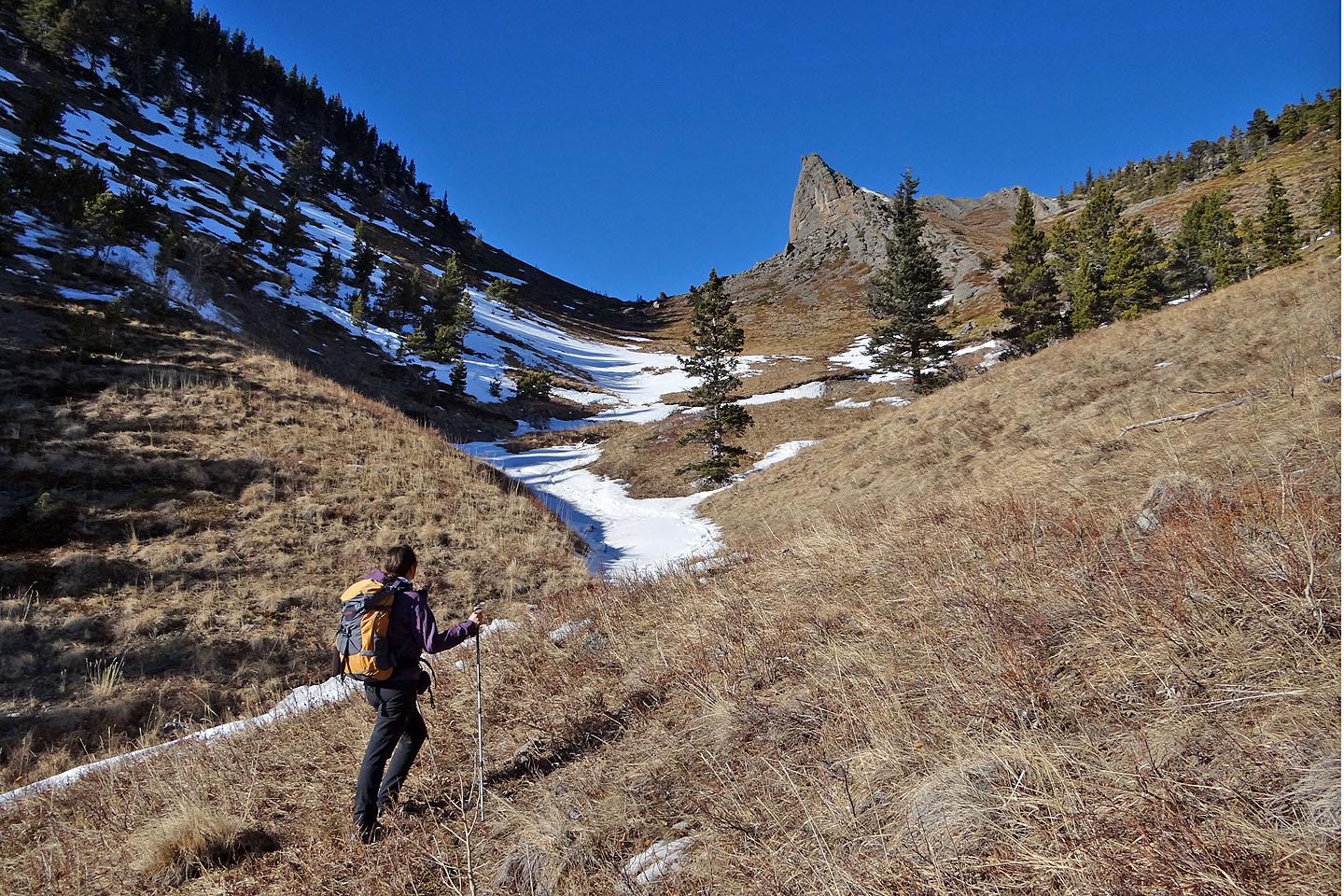
The enticing west summit came into view
The contrasting west and east summits of Corral Creek Mountain. The west summit is 10 m higher.
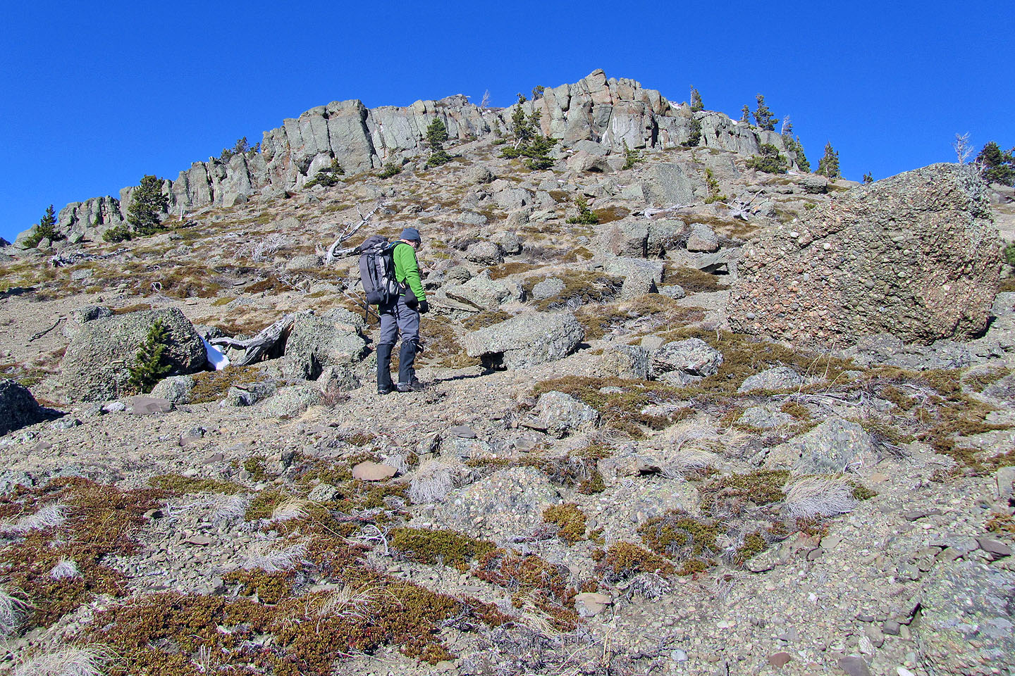
We headed to a break in the cliff bands. The boulders comprise of beautiful conglomerate rock (mouse over).
Looking back
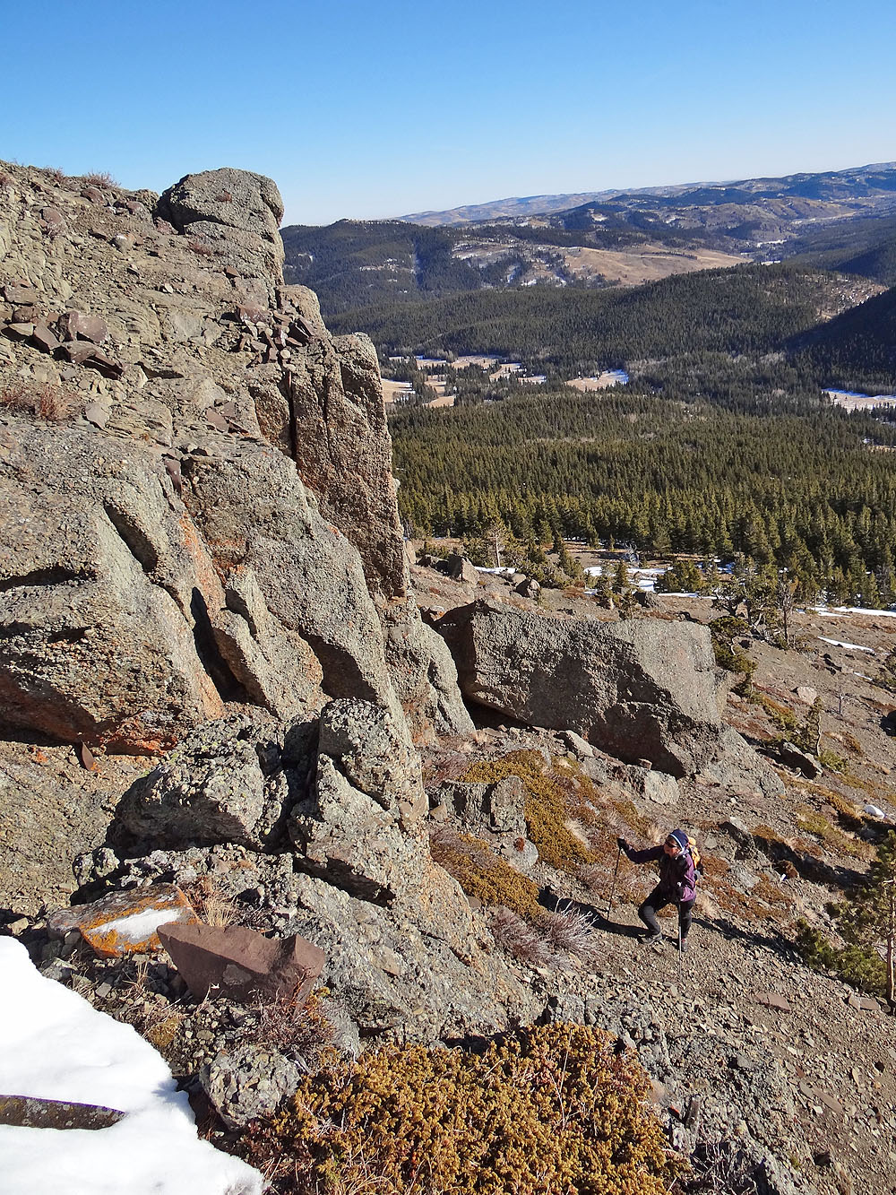
Dinah reaches the break in the cliff band
Climbing up
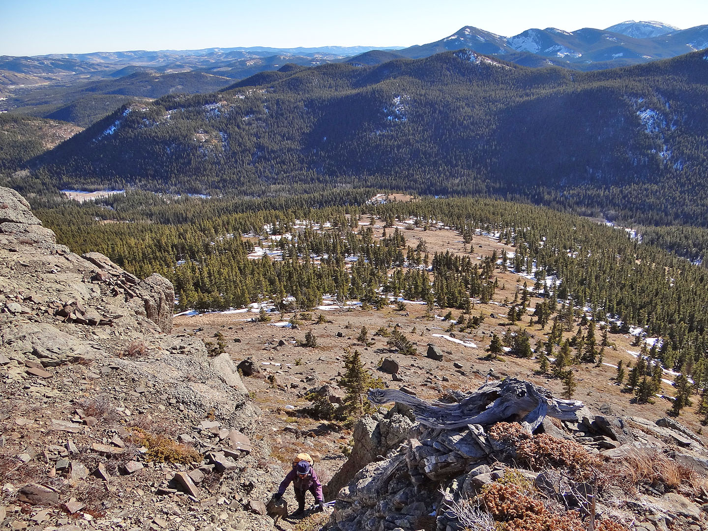
More cliffs ahead
Looking at the west summit seen from the east summit
Heading to the west summit
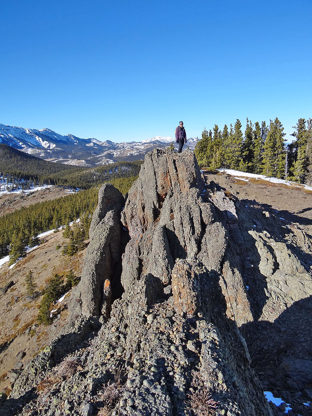
Dinah stands on top of Corral Creek Mountain. The summit is conglomerate rock.
The summit from the opposite angle (mouse over for Dinah's view)
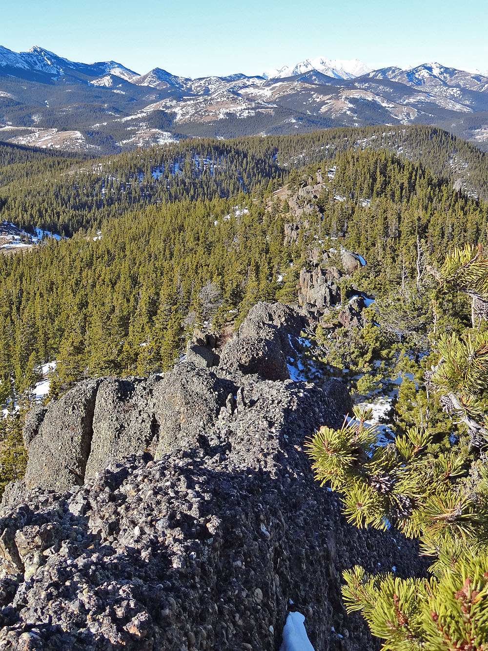
The ridge of conglomerate rock stretches northwest for hundreds of metres
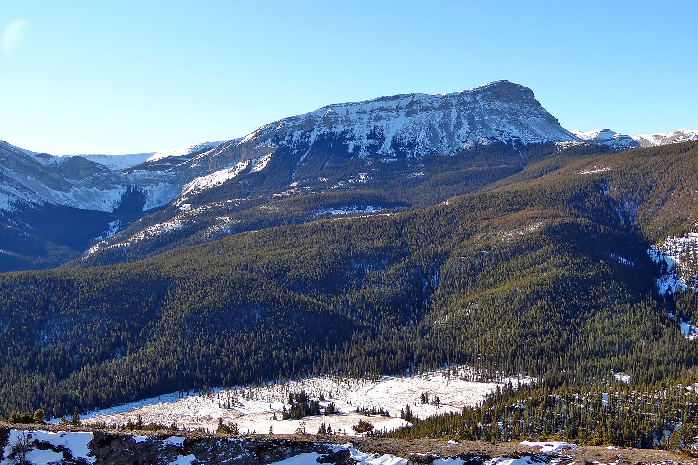
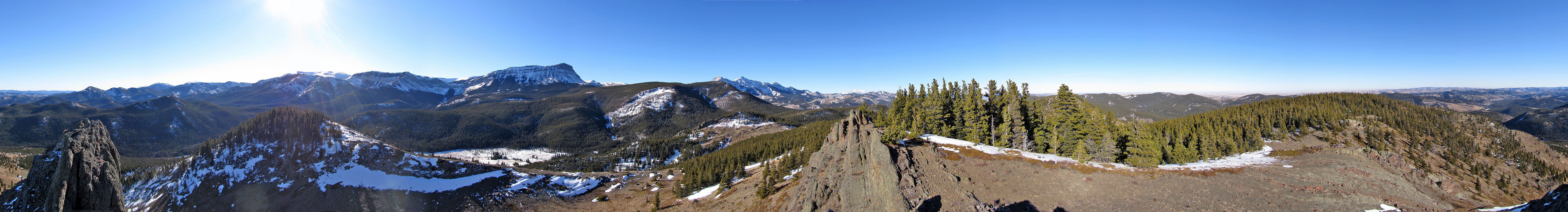
Sentinel Peak (click for a larger image)
Mount Burke (mouse over for a close-up)
Heading down the gully between the summits
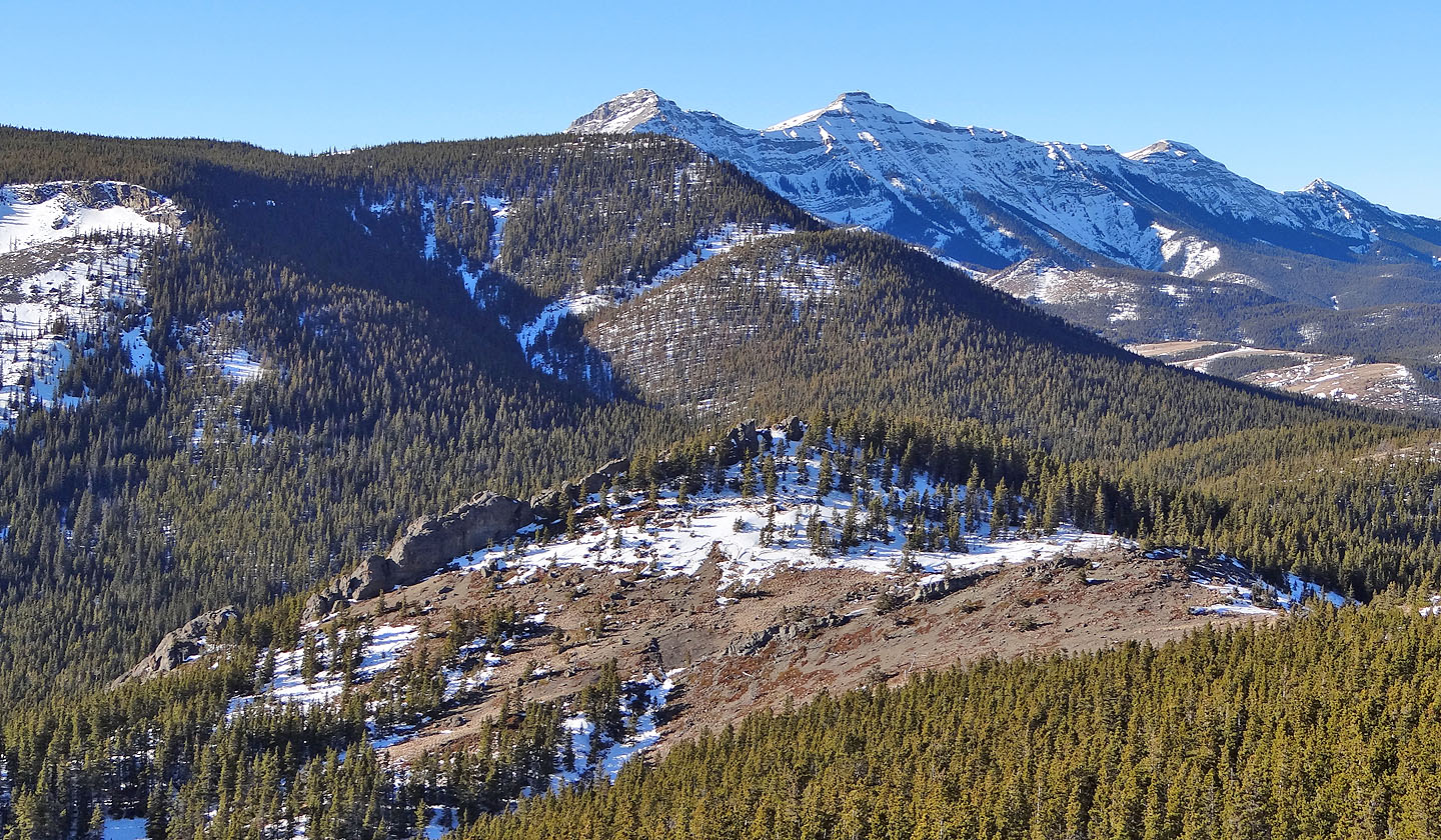
Looking back at the summit (mouse over for a close-up)
Last look at the summits
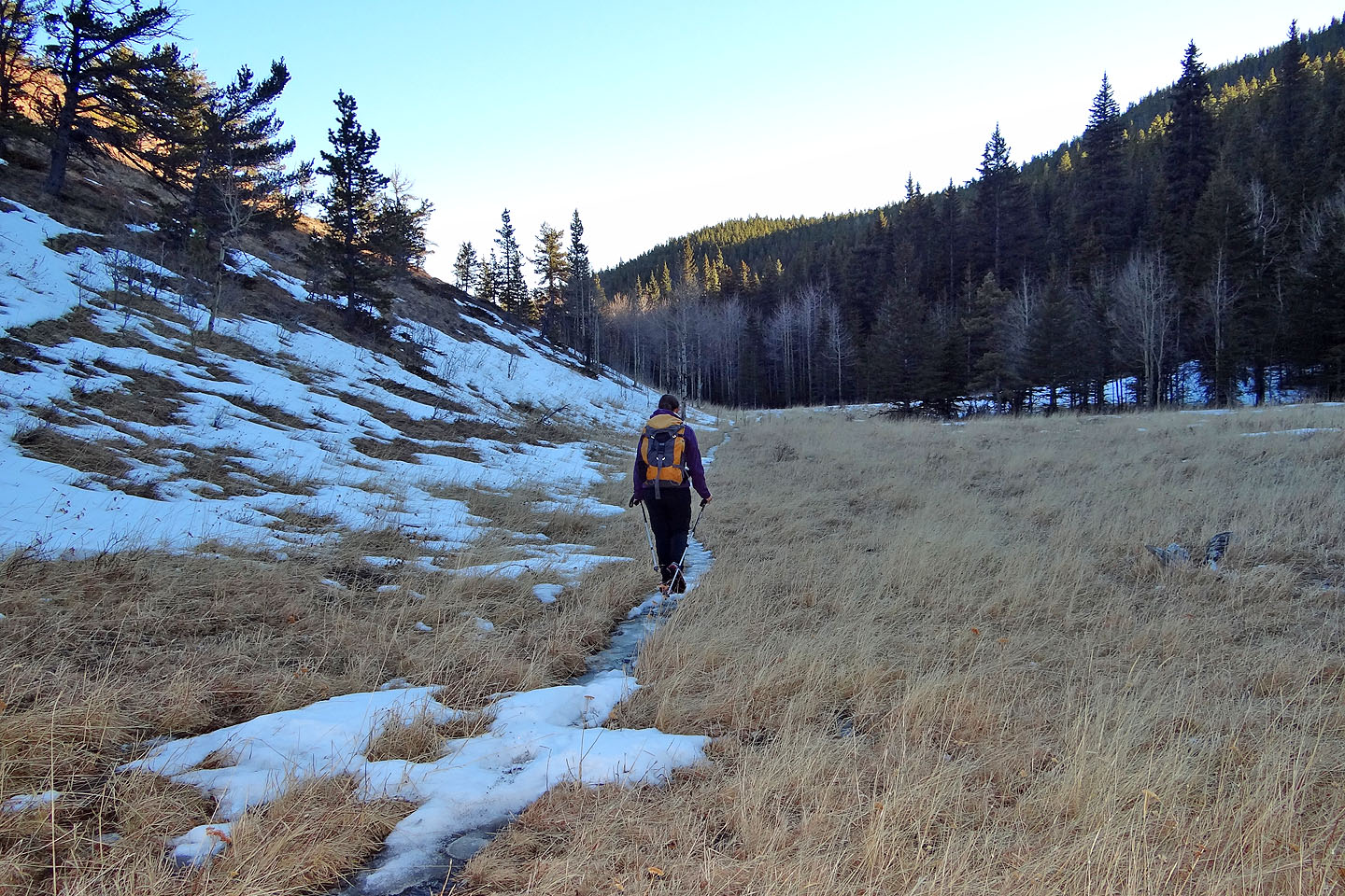
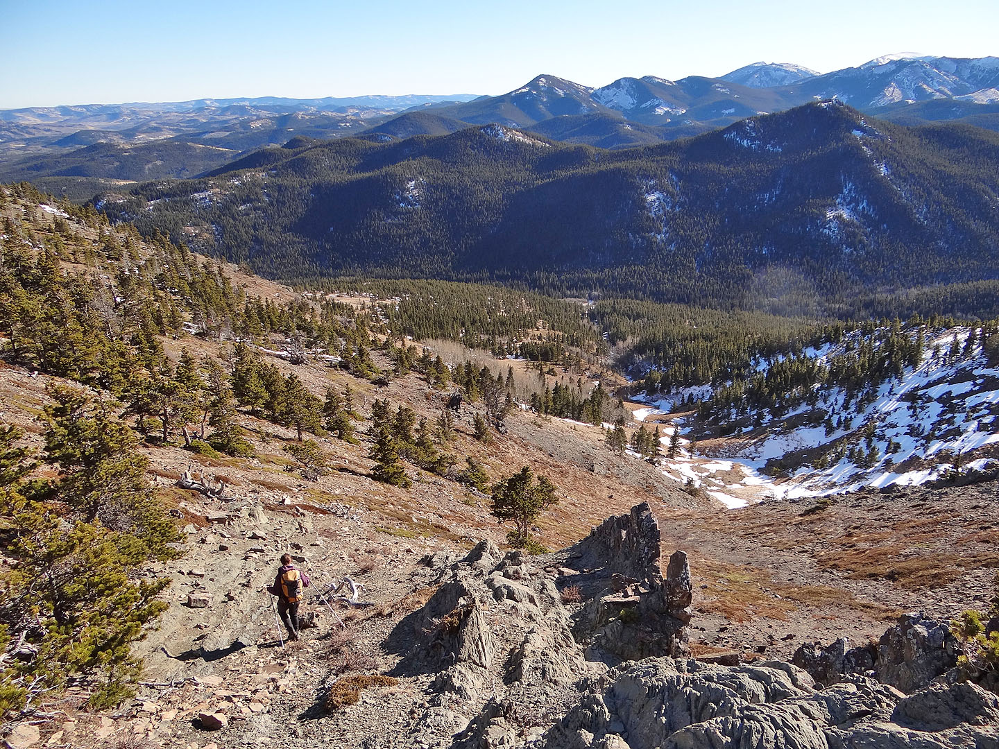
Following the valley trail back to the marshes
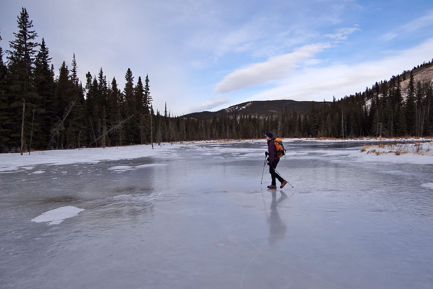
Crossing back on the marshes
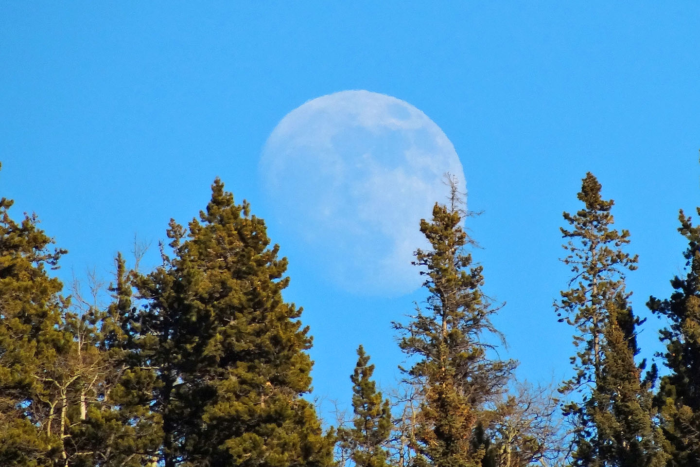
Moonrise
82 J/8 Stimson Creek, 82 J/1 Langford Creek