bobspirko.ca | Home | Canada Trips | US Trips | Hiking | Snowshoeing | MAP | About
Anklebiter Ridge
Kananaskis, Alberta
May 5, 2018
Distance: 6.6 km (4.1 mi)
Cumulative Elevation Gain: 876 m (2874 ft)
“This is a fun ridge!”
“A very nice ridge!”
We were only a third of the way up the south ridge of Anklebiter when I heard these remarks from members in our group. It was a sentiment, I'm sure, shared by the others, even the dog. From bottom to top, Anklebiter Ridge is an engaging, easy scramble.
We parked by Grotto Pond at the trailhead for Grotto Creek trail. Five minutes after starting, we took a right fork which runs alongside a creek bed. A moment later, we turned right again and started up the south ridge of Anklebiter.
The trail soon became interspersed with short sections of firm rock that we scrambled up. The changing terrain kept us guessing what lay ahead and absorbed us in our task to reach the summit.
With eight people on board, this was a social trip with long breaks to chat, but eventually we reached the open summit of Anklebiter Ridge. After a long stay, our attention turned to getting down.
Like others climbing Anklebiter, we did a loop and came down the southeast ridge. This meant shifting gears: unlike our straightforward climb up, we had to routefind our way down. Our first obstacle was the cliff band that bars a direct descent down the ridge. We got around that by dropping down the north slope below the summit.
Once below the cliff, most in our group traversed left to regain the ridge, although a few opted to reach the crest more directly. We regrouped on an impressive rocky knob before plunging into the trees. Here we floundered. The ridge with its hidden twists and dips – details not on the map – made it difficult at times to determine the best direction to take. But we plugged away and bushwhacked to the bare summit of Bluemat Hill.
After reposing for a time on our second objective, we started down, intent on reaching the highway below. We soon found a trail that developed into a great scree run, only to find both scree and trail ended abruptly mid-slope. Some dropped down to a gully, while others contoured right to reach a trail on a spur. The trail was short-lived, however, and everyone had to bushwhack down the rest of the slope. Despite splitting up, we ended up at the same spot along the highway and walked 750 m back to the parking lot. As we passed by Grotto Pond, we got a good look at the “fun ridge,” Anklebiter Ridge.
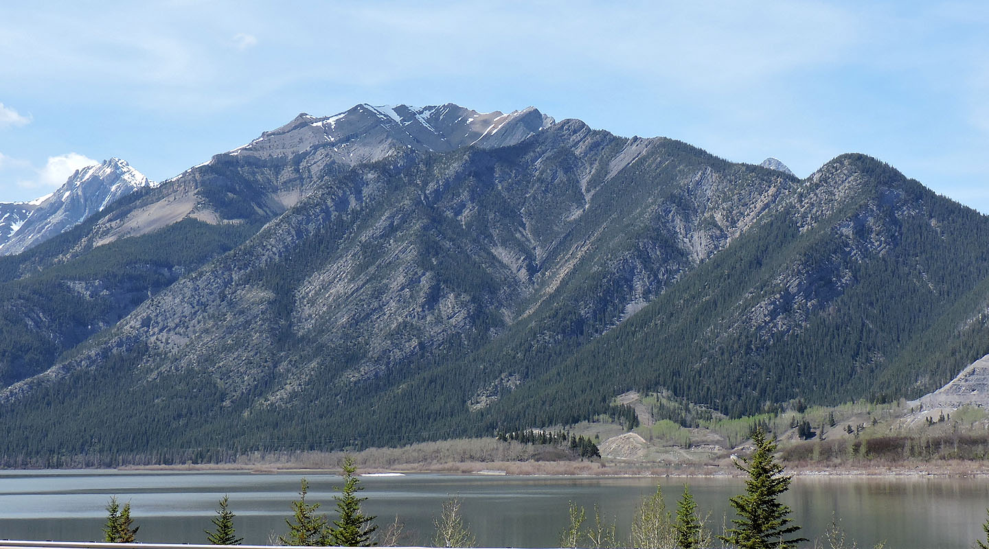
Anklebiter Ridge seen from the highway. Bluemat Hill is on the right.
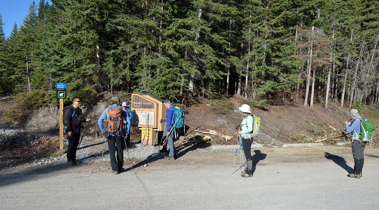
Gathering at the trailhead
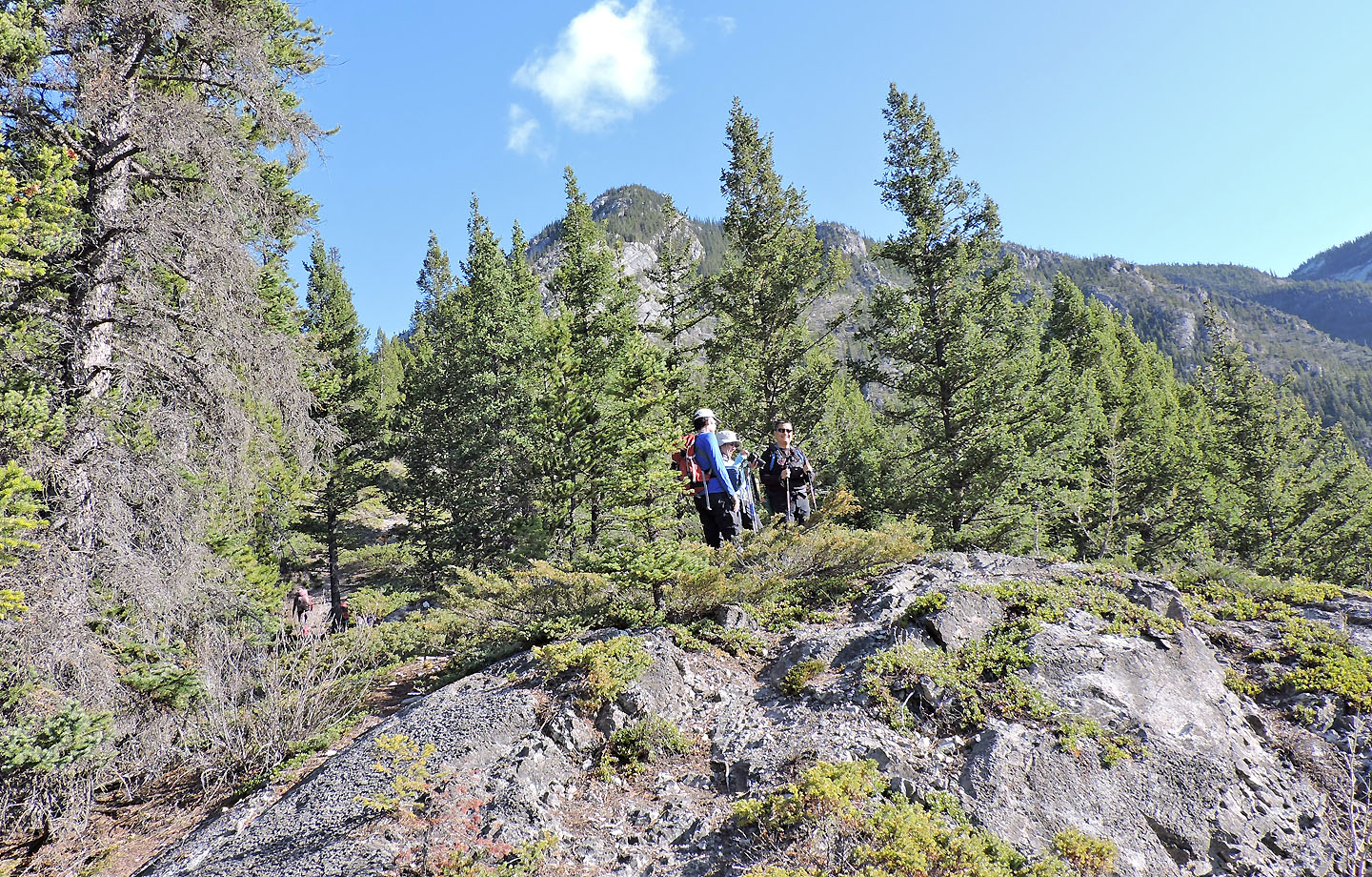
In a short time we reached the first clearing
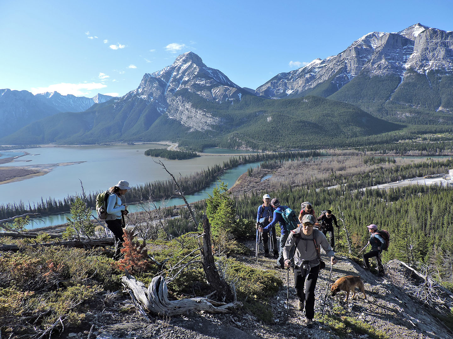
Mount McGillivray in the background
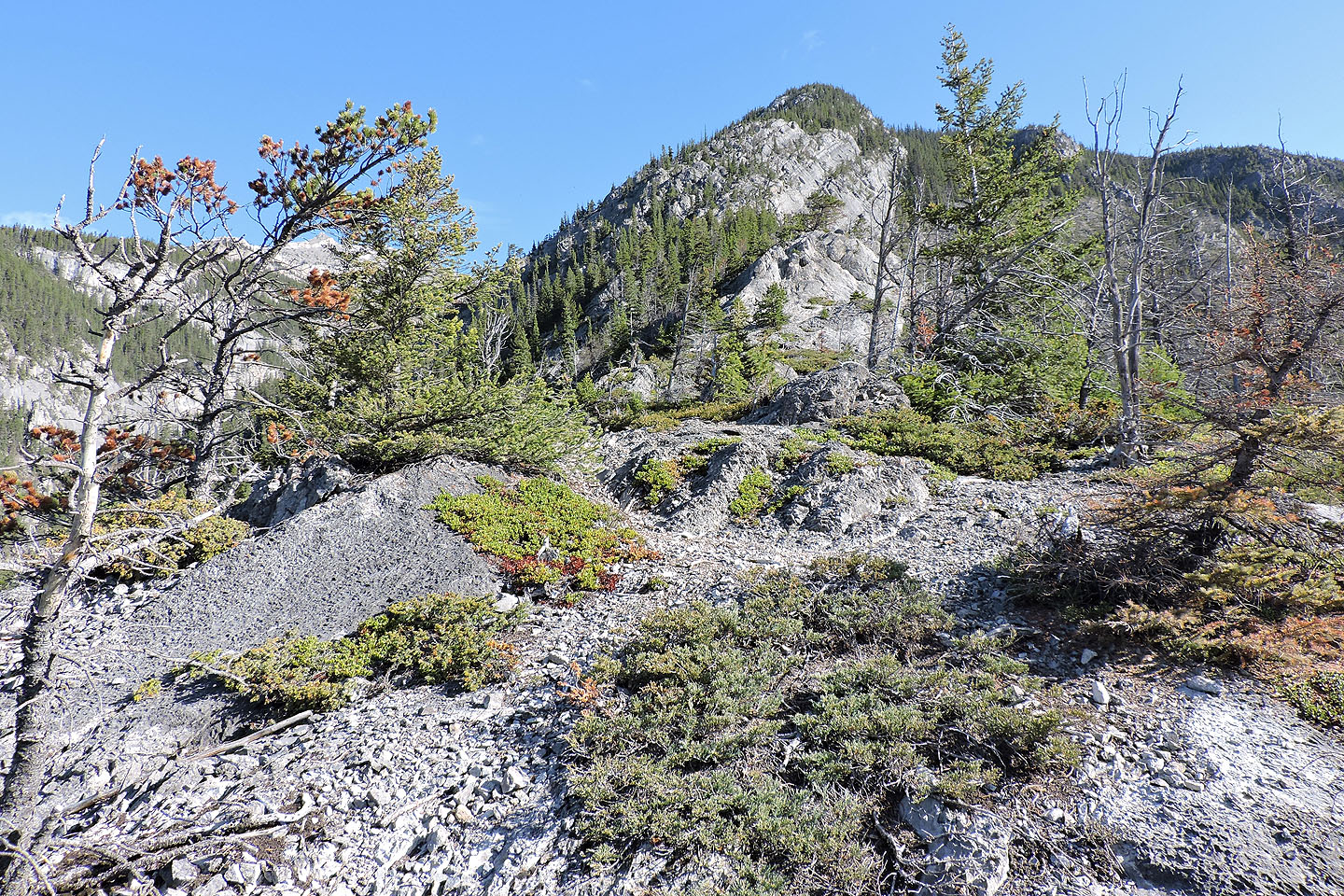
The ridge becomes rocky ahead
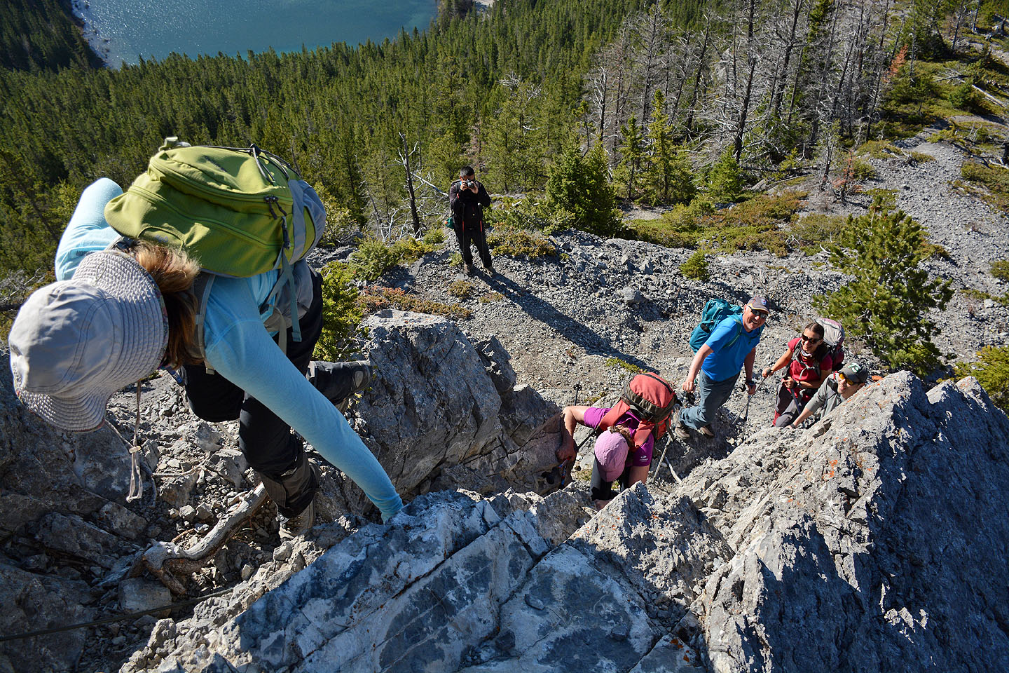
We reached our first scrambling section
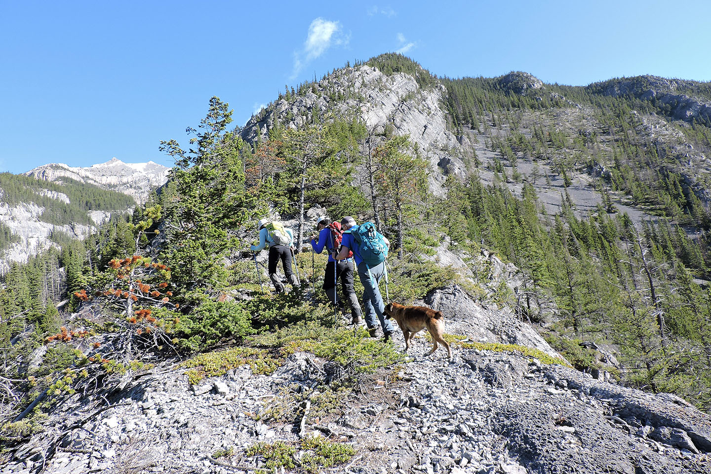
On to the next section
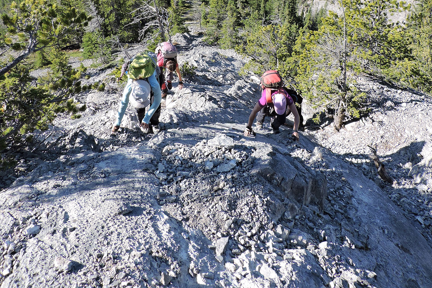
More scrambling
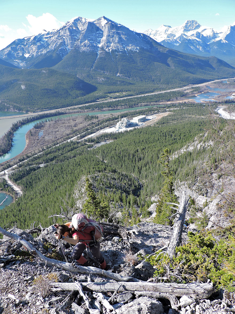
Looking back down the ridge
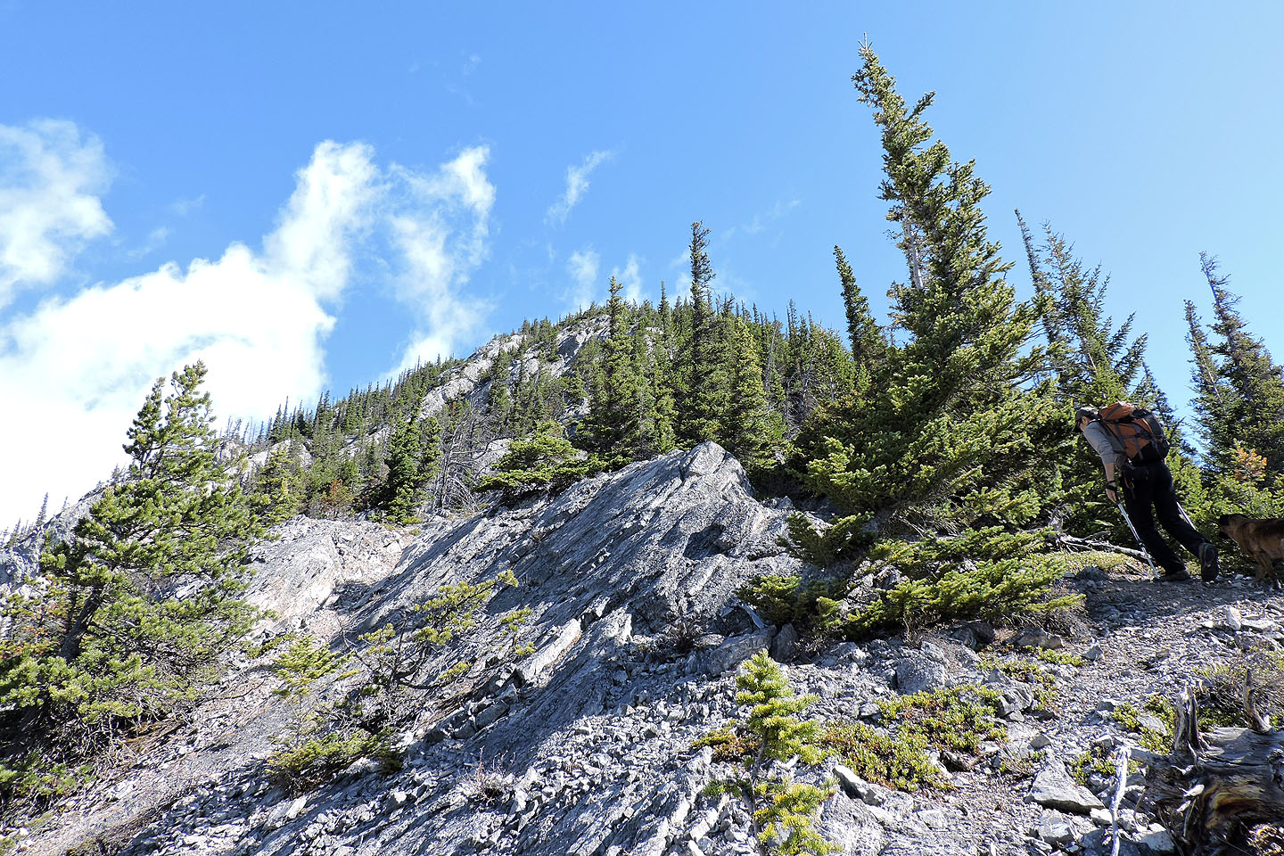
Most of the ascent is a hike
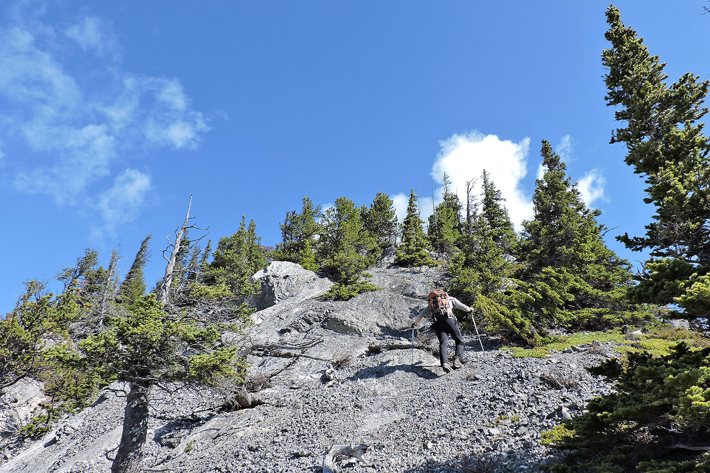
Smooth slabs ahead
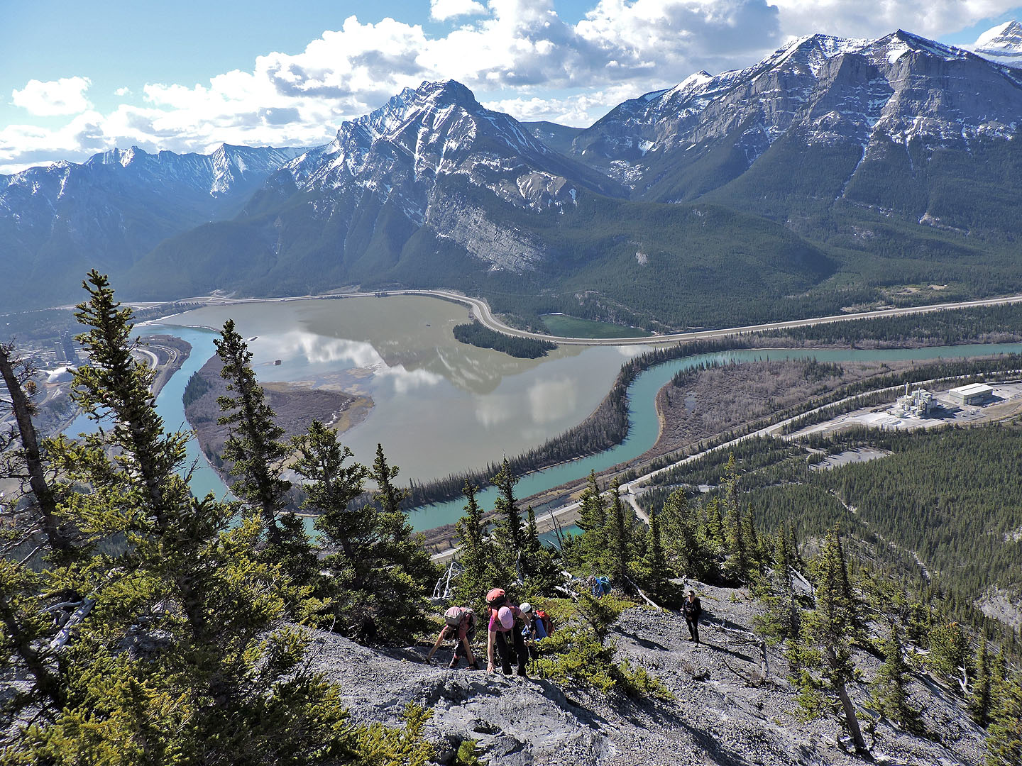
Looking back
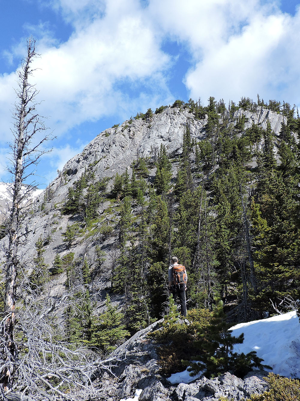
We encountered a few snow patches
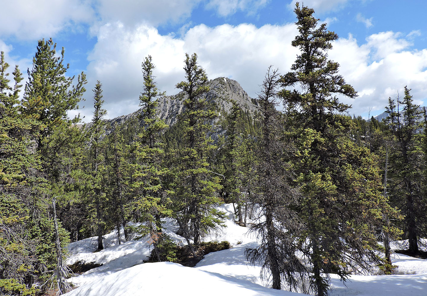
The summit came into view
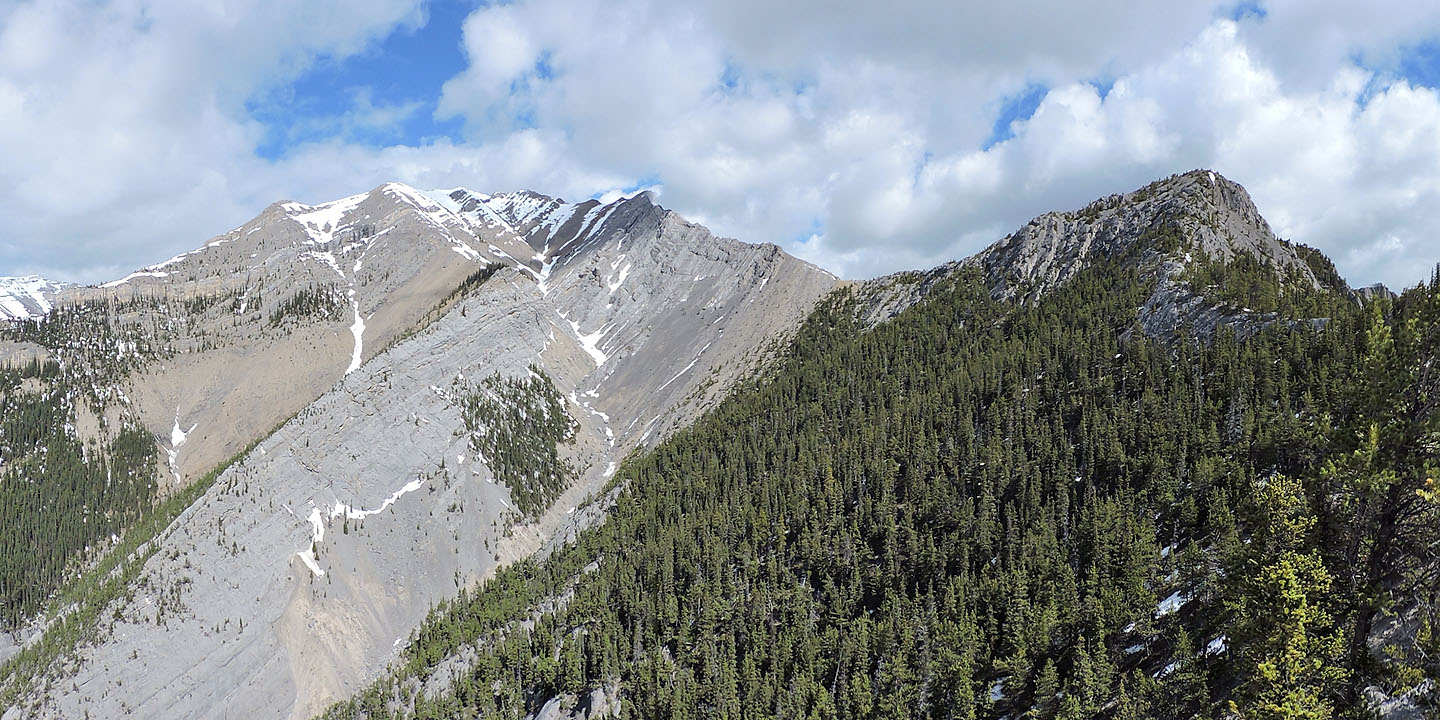
A ridge connects Gap Peak to Anklebiter Ridge
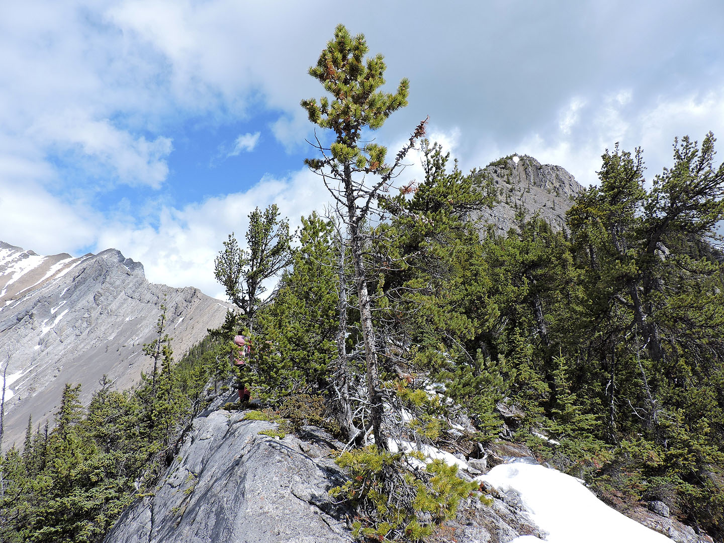
Continuing to the summit
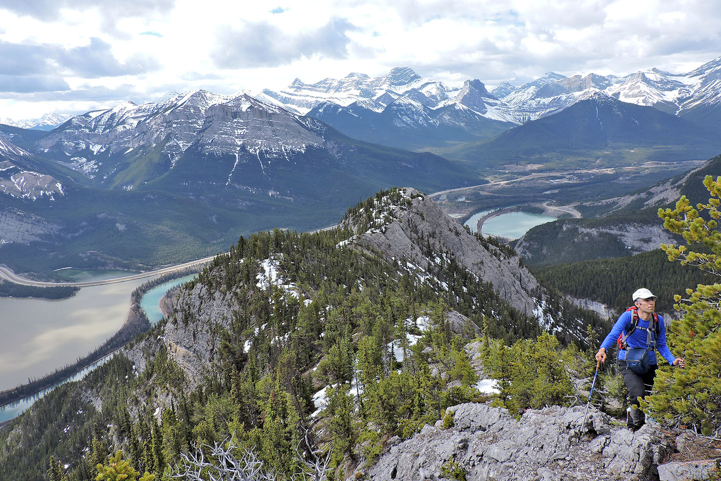
Looking back along the ridge
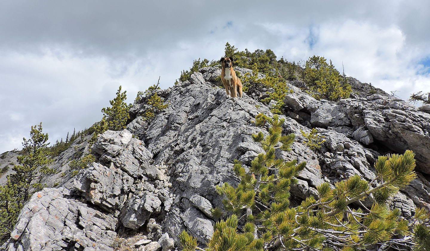
Ruth leads the way to the top
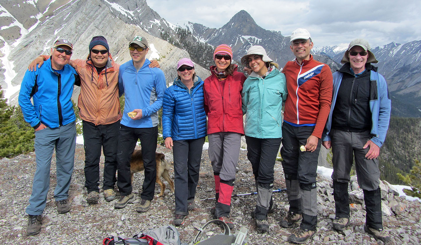
Wil, Sonny, So, Wendy, Zosia, Asieh, Ali and me on the summit of Anklebiter
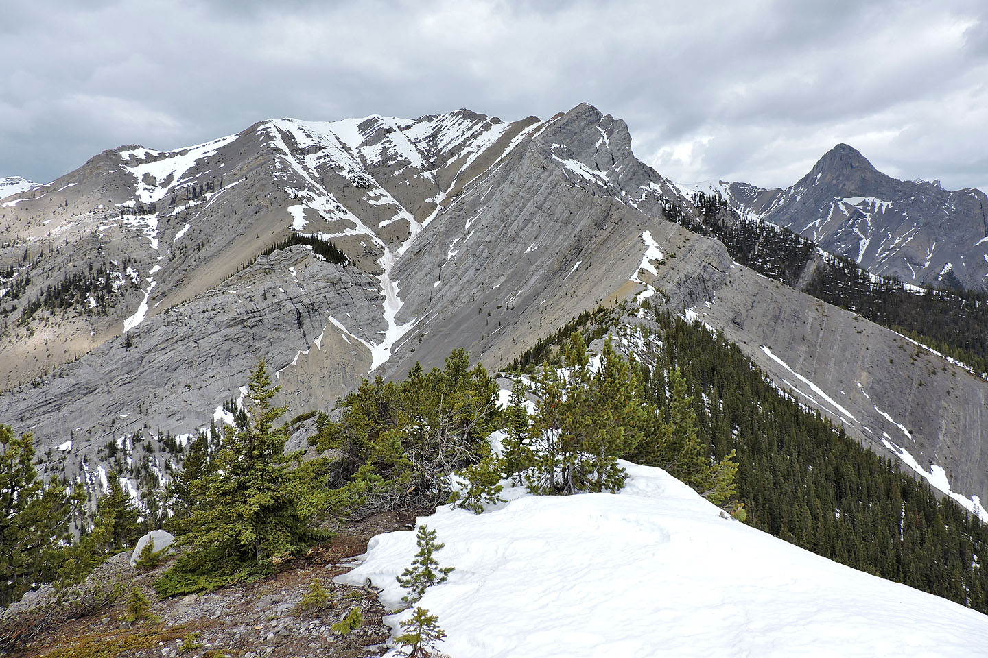
Gap Peak fills the view northwest while Mount Fable appears on the right
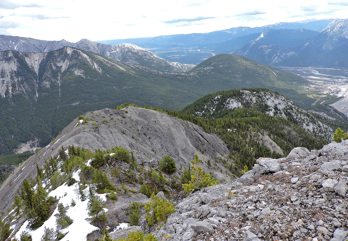
The southeast ridge leads to Bluemat Hill on the right
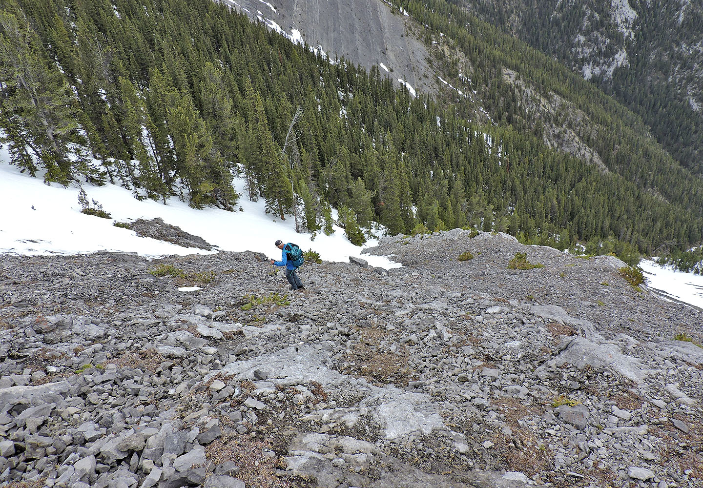
From the summit, we dropped down the north slope to get to the end of a cliff band
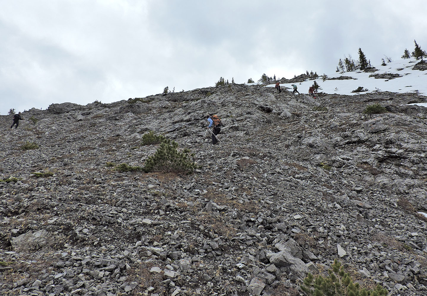
Looking back as others made their way down from the summit
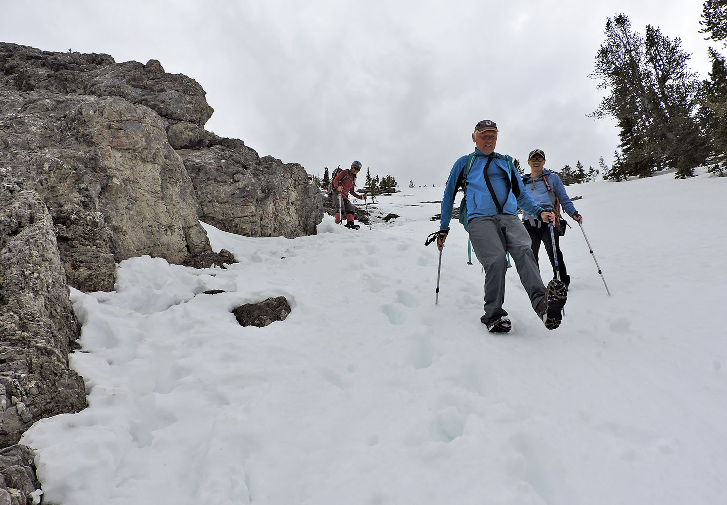
Coming down the snow at the end of the cliff band
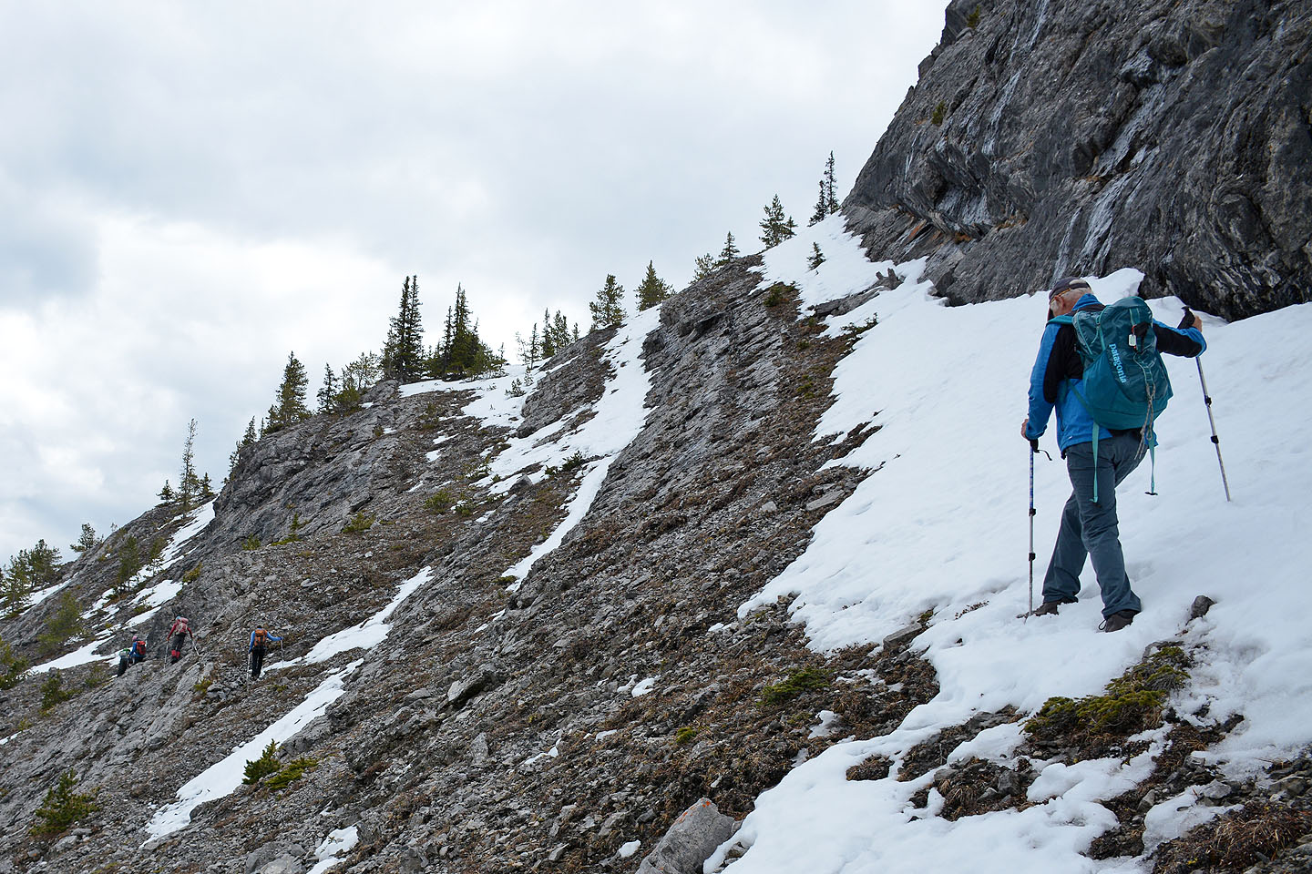
After reaching the base of the cliffs, most traversed left but a few climbed up to the ridge crest
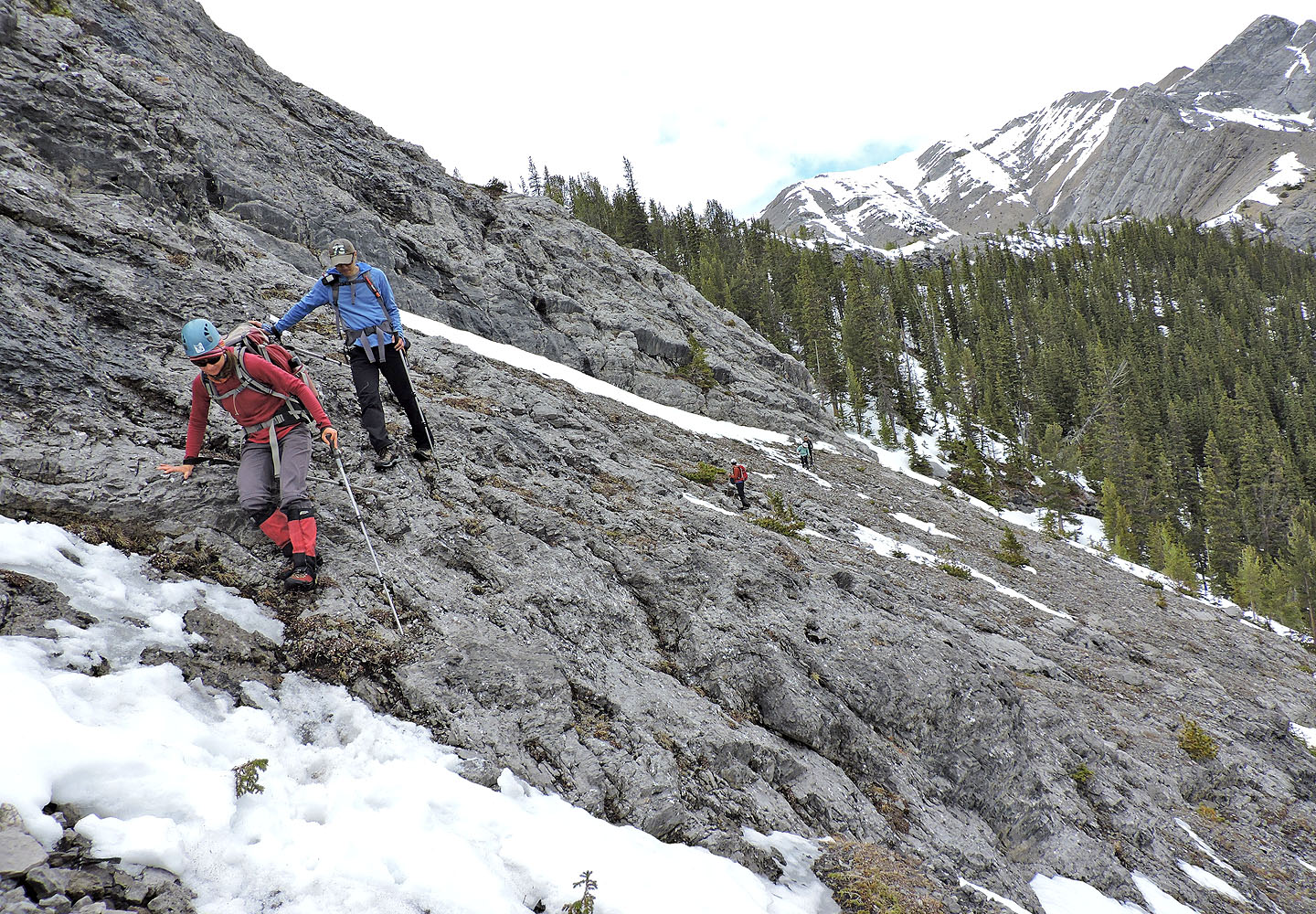
Crossing slabs on the traverse
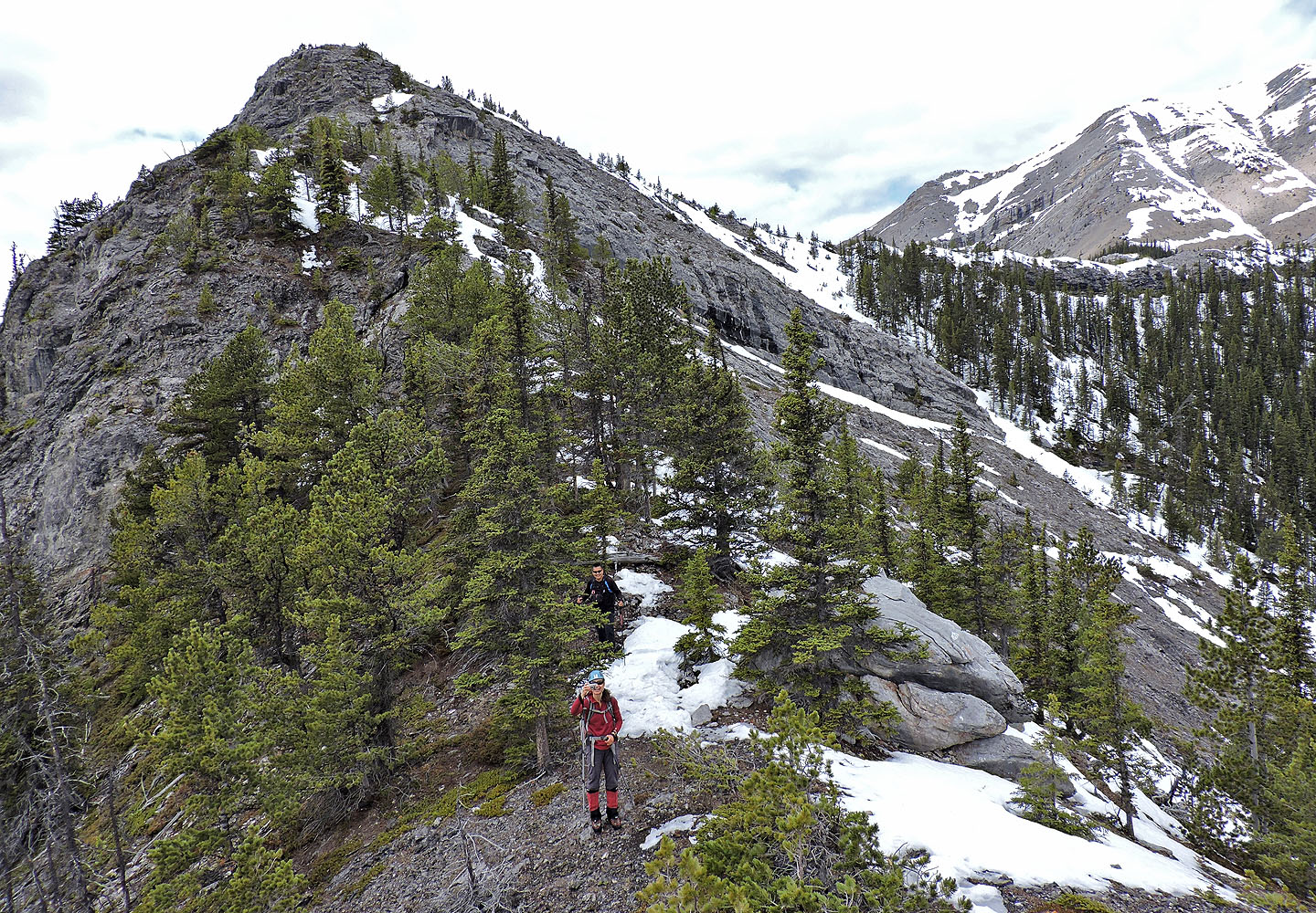
On the ridge looking back. You can see the long cliff band we had to go around.
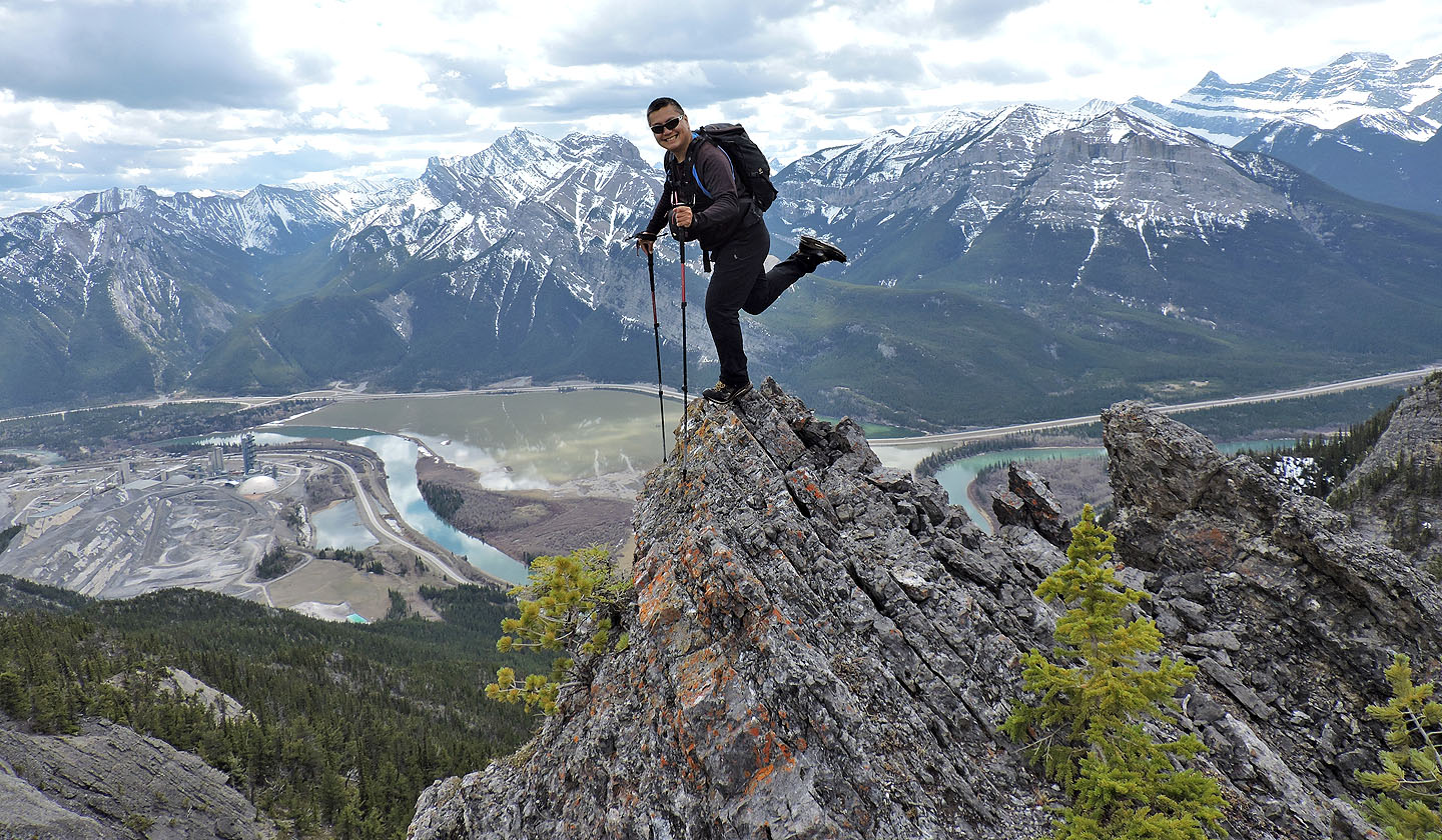
While waiting to regroup on the ridge, Sonny strikes a pose
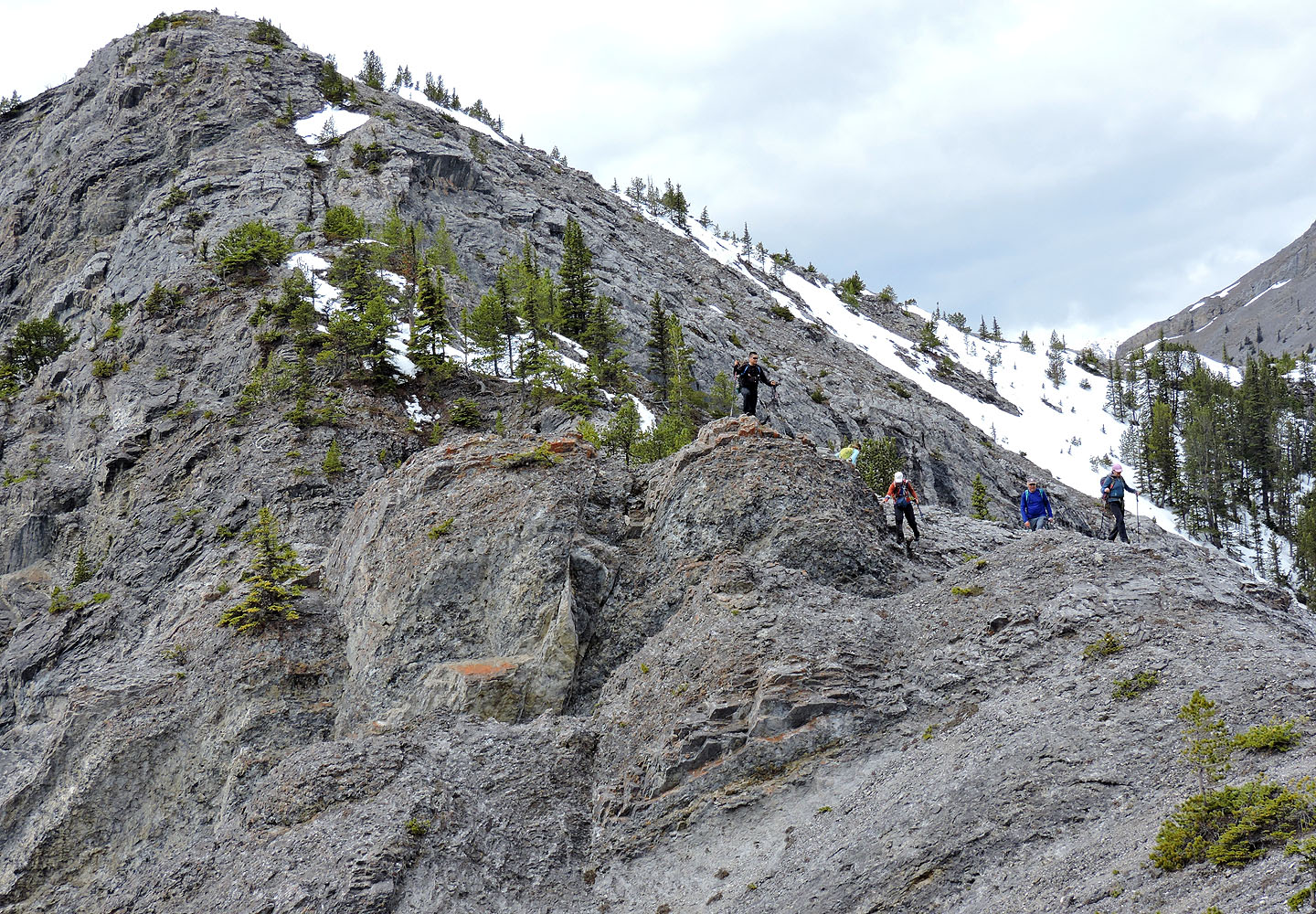
Continuing down to Bluemat Hill
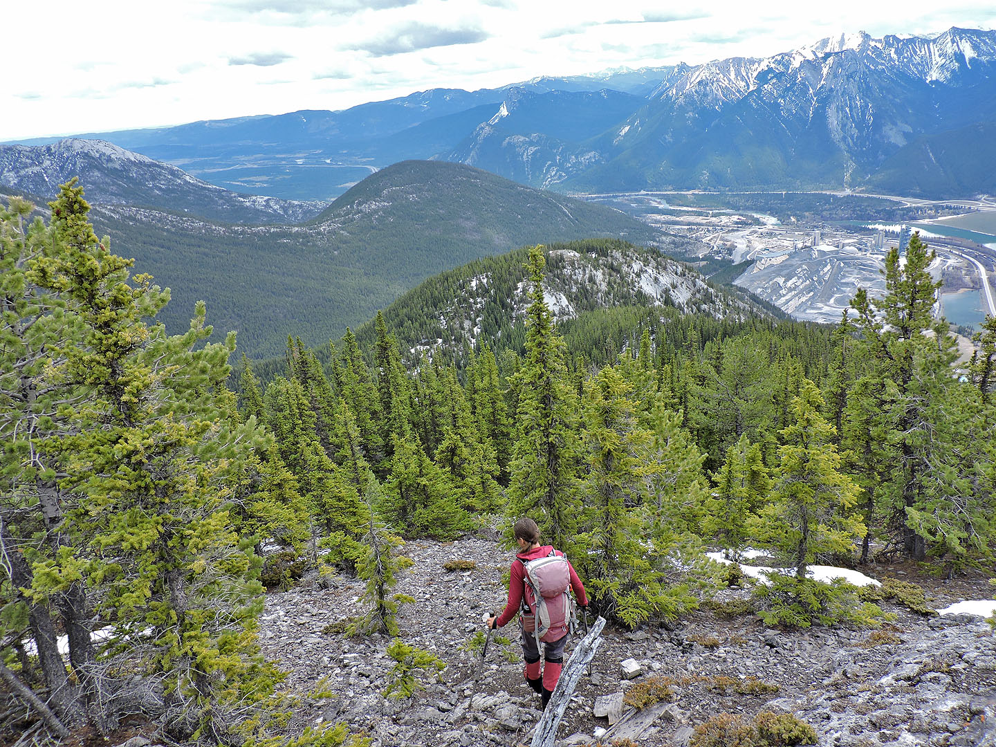 Following the ridge to Bluemat
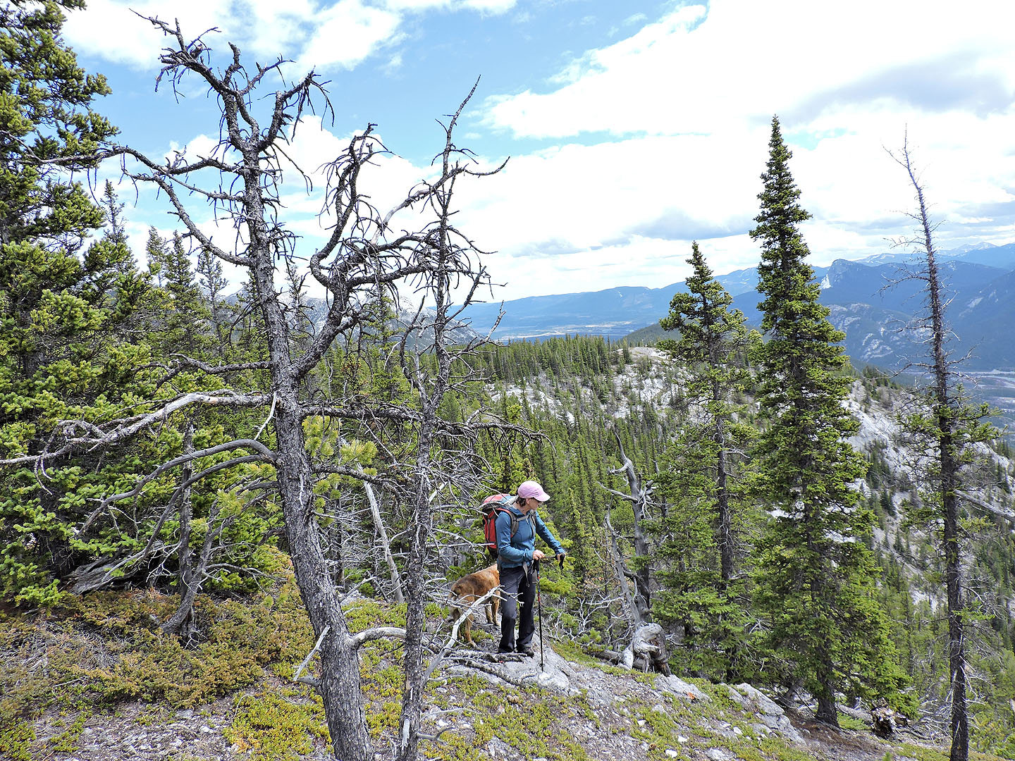
Almost there
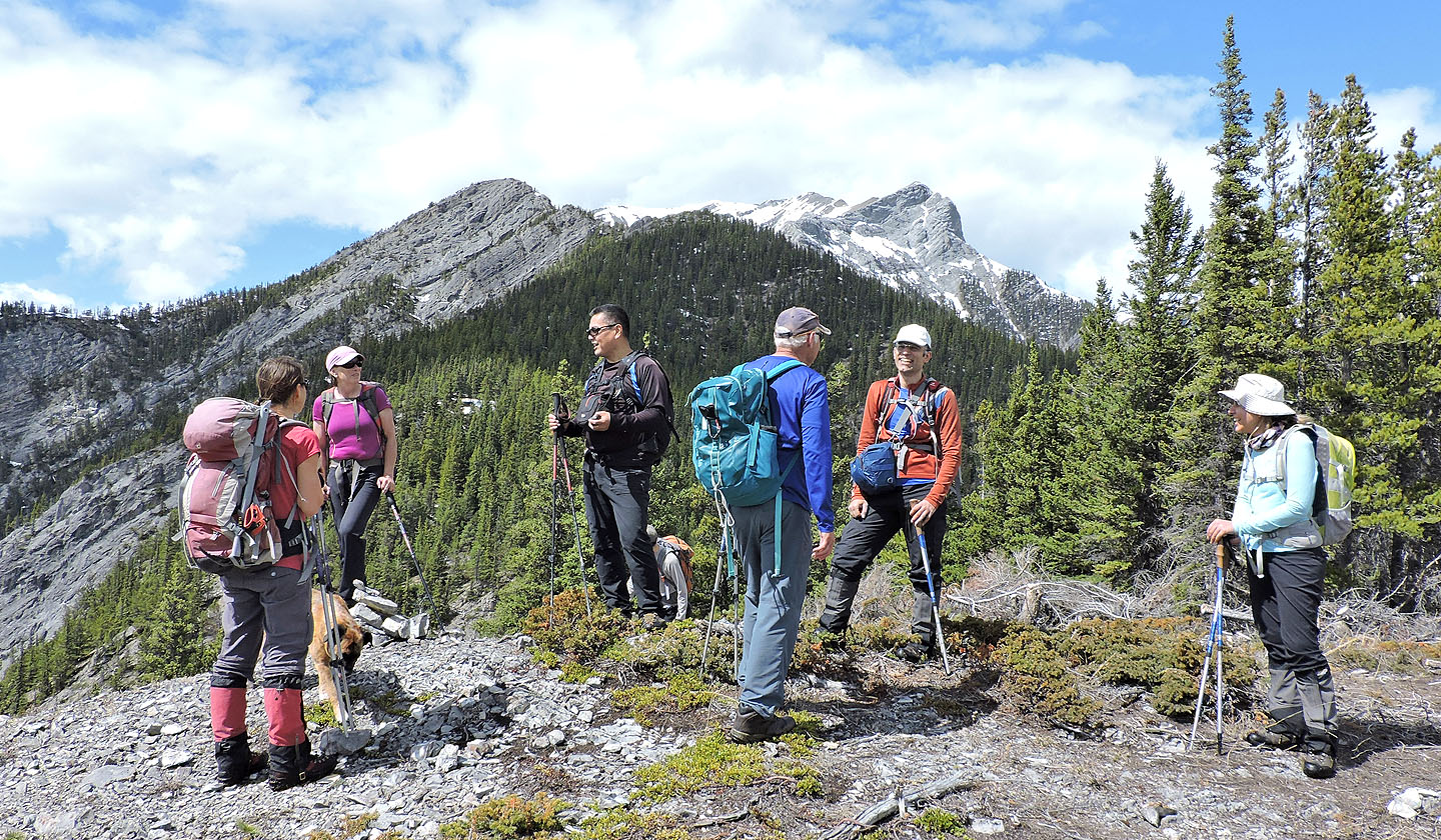
On Bluemat Hill with Anklebiter in the background
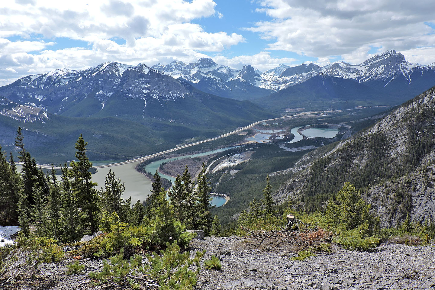
Looking down Bow Valley
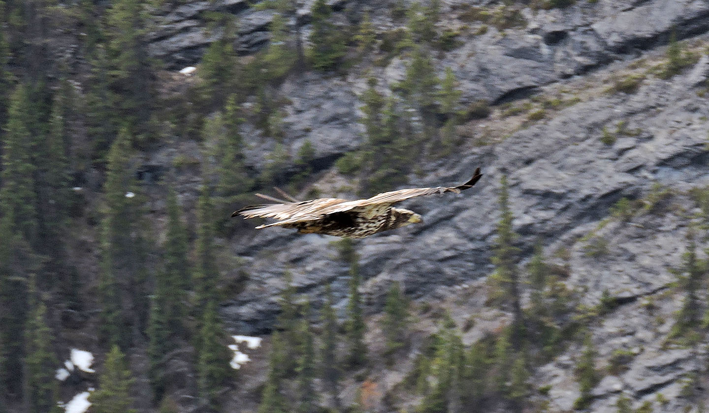
A hawk flew by
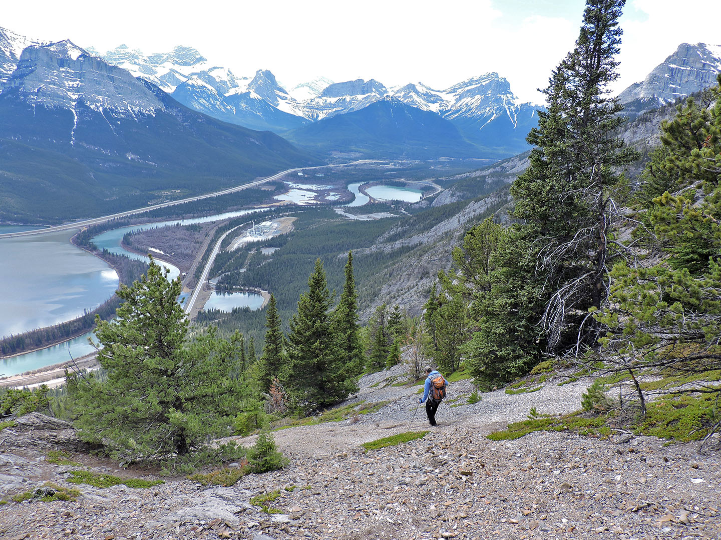
Heading down to the highway
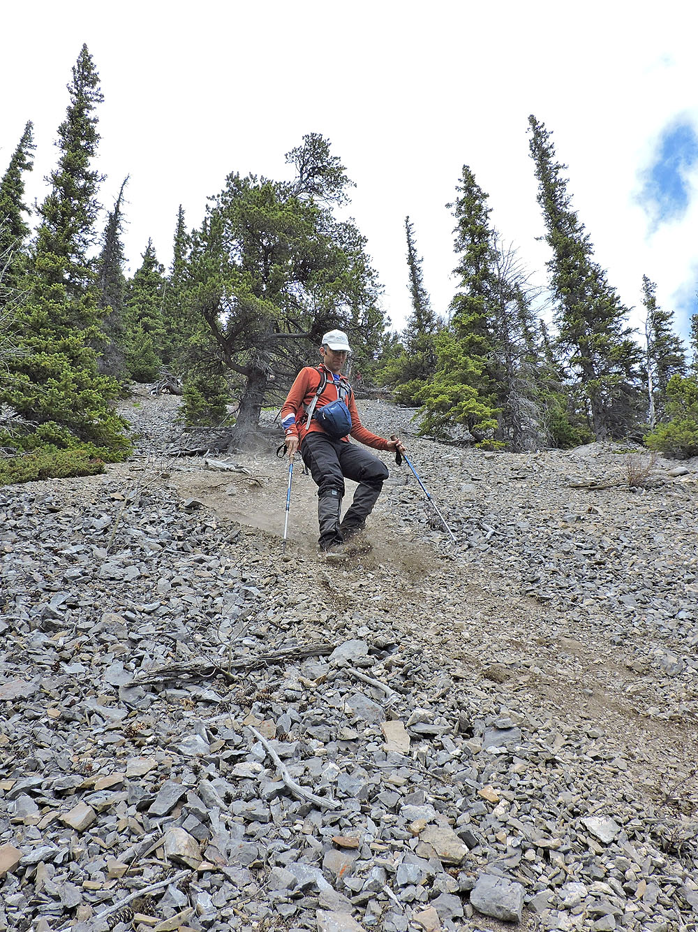
Excellent scree to run down!
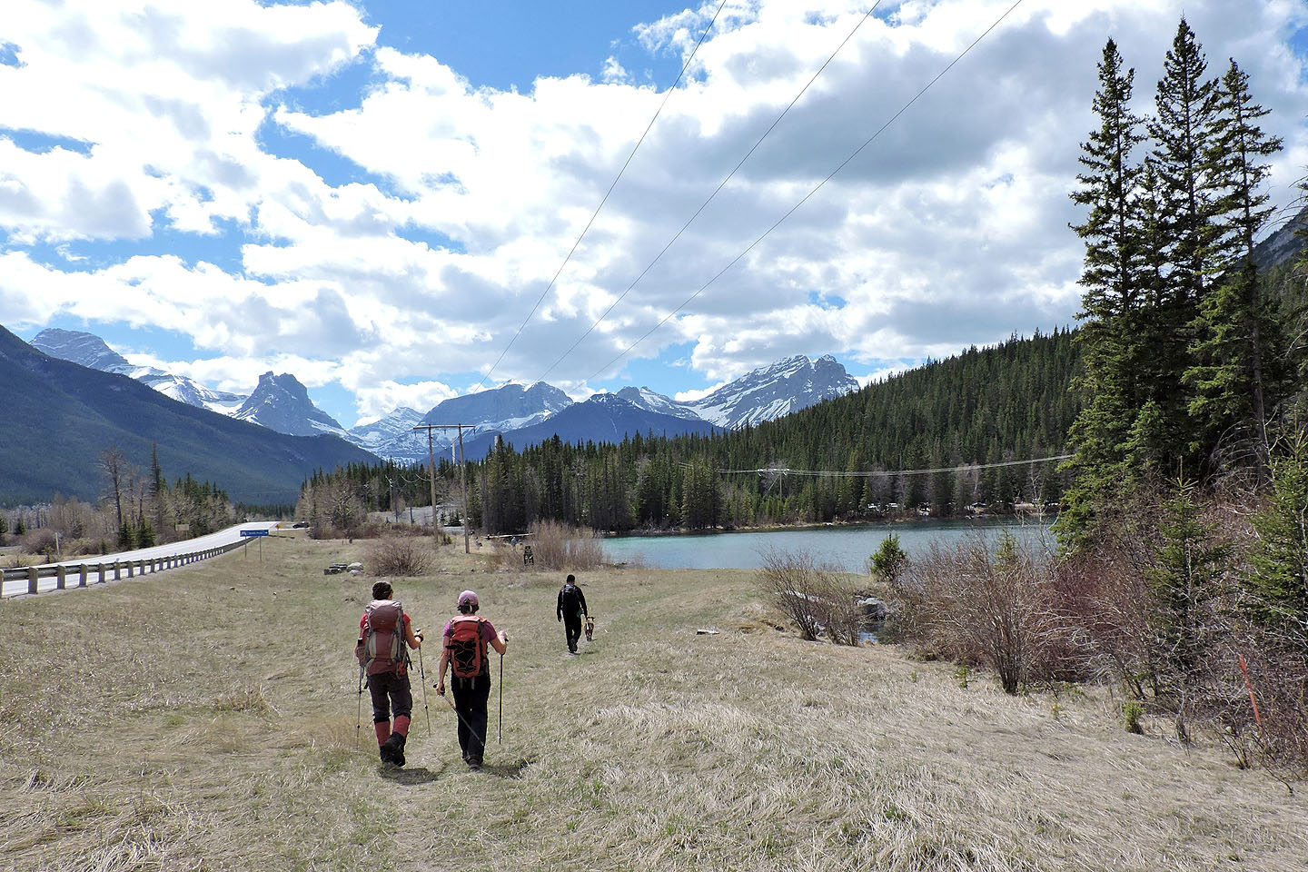
After walking down the highway, we were back at Grotto Pond
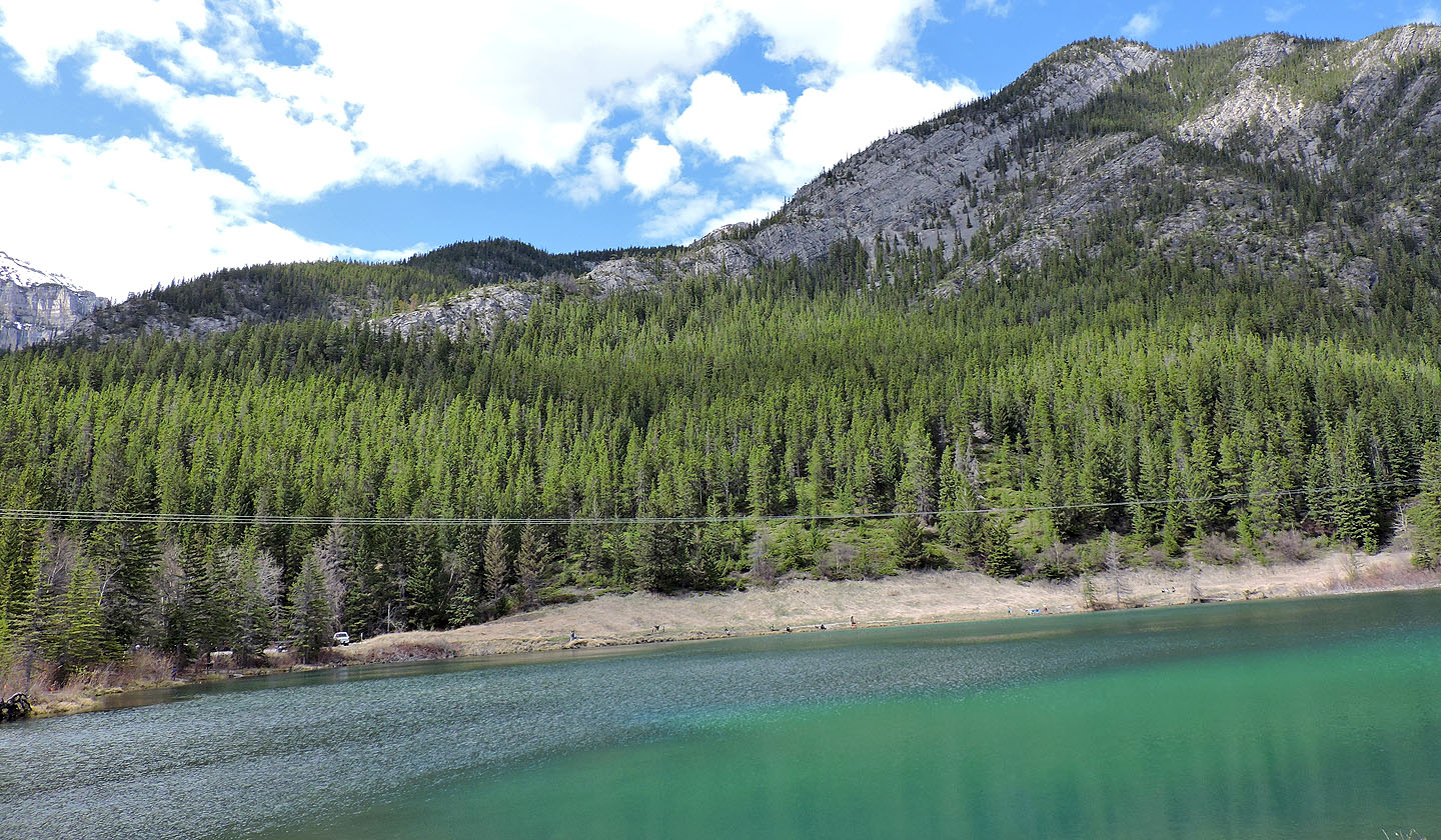
Looking across Grotto Pond at the lower slopes of Anklebiter Ridge
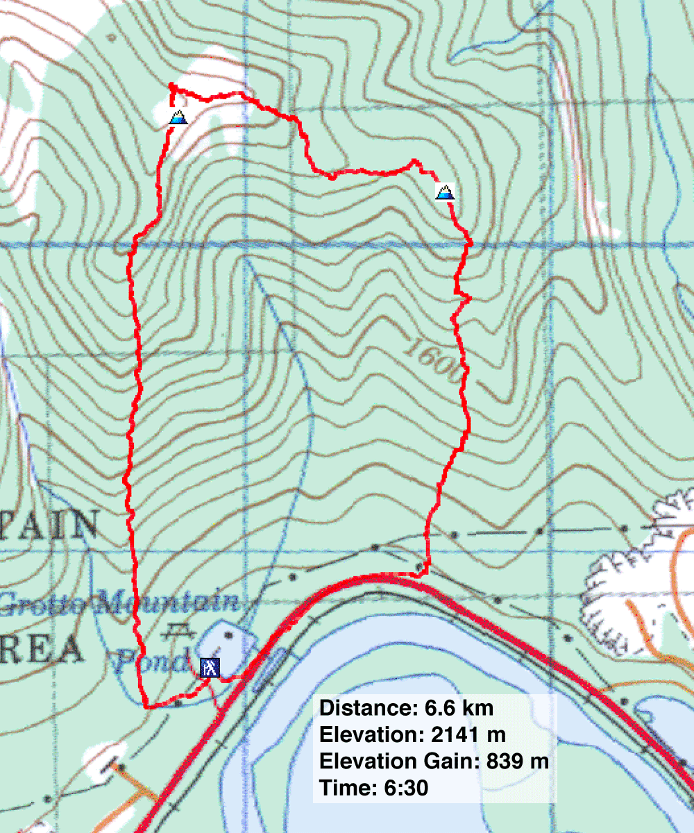
82 O/3 Canmore
