bobspirko.ca | Home | Canada Trips | US Trips | Hiking | Snowshoeing | MAP | About
Nigel Pass
Banff National Park, Alberta
July 29, 2017
Distance: 17.0 km (10.6 mi)
Cumulative Elevation Gain: 420 m (1378 ft)
Nigel Pass probably sees more backpackers than day hikers. At least that’s what Zora, Dinah and I found when we hiked it. But Nigel Pass is a worthwhile destination in itself, and unlike backpackers who simply hike over it, we had time to walk its length and enjoy the stretch of rock and alpine meadow that ends above a heart-shaped tarn.
The trip begins with a mindless walk up a 2 km road to Camp Parker. Other than some historic corrals, there is little to see along the way. At the end of the road, we turned onto a trail leading to two bridge crossings in succession before entering the woods. Eventually, the trees loosened their grip on the scenery, and the vastness of Nigel Creek Valley hit us. Ahead we caught glimpses of the beige rocks marking Nigel Pass.
When we reached the rolling pass, we left the trail and wandered through meadows and along striated rock to the west end. Below us, Brazeau River Valley extended north while a nearby tarn sat at the west end of the pass. After a break, we made our way back to the trail. As hikes go, this is an easy trip with good scenery for little effort.
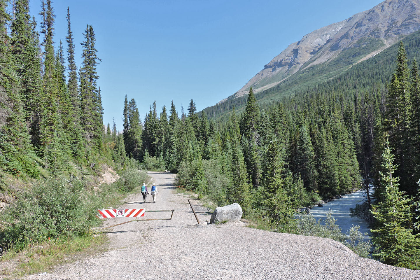
Starting down the road
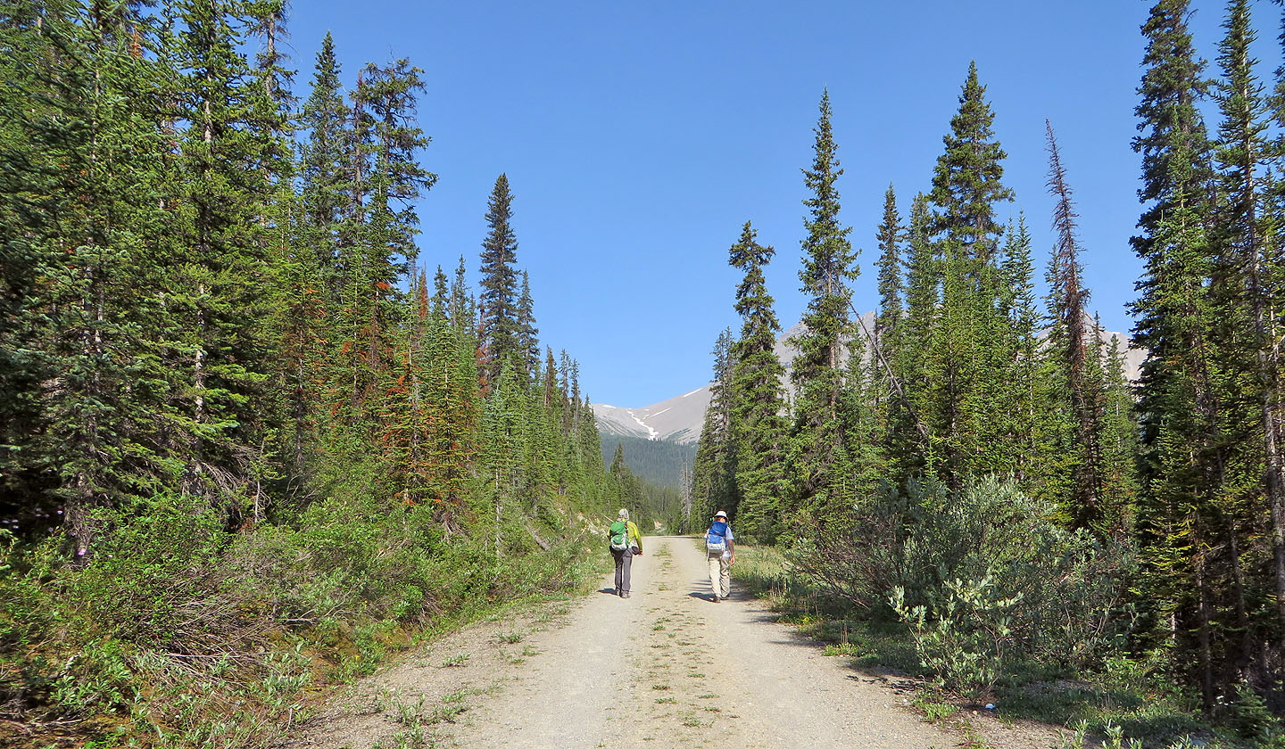
There is nothing to see along the road
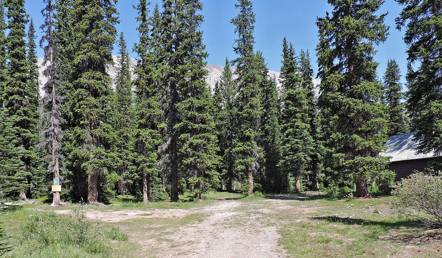
The road ends at Camp Parker. The trail starts on the left.
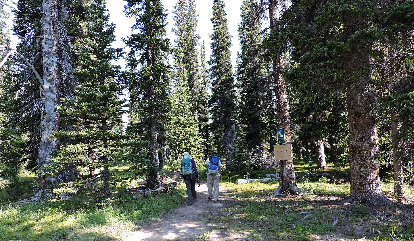
Starting down the trail
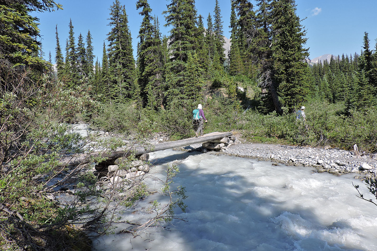
Crossing a bridge over Hilda Creek
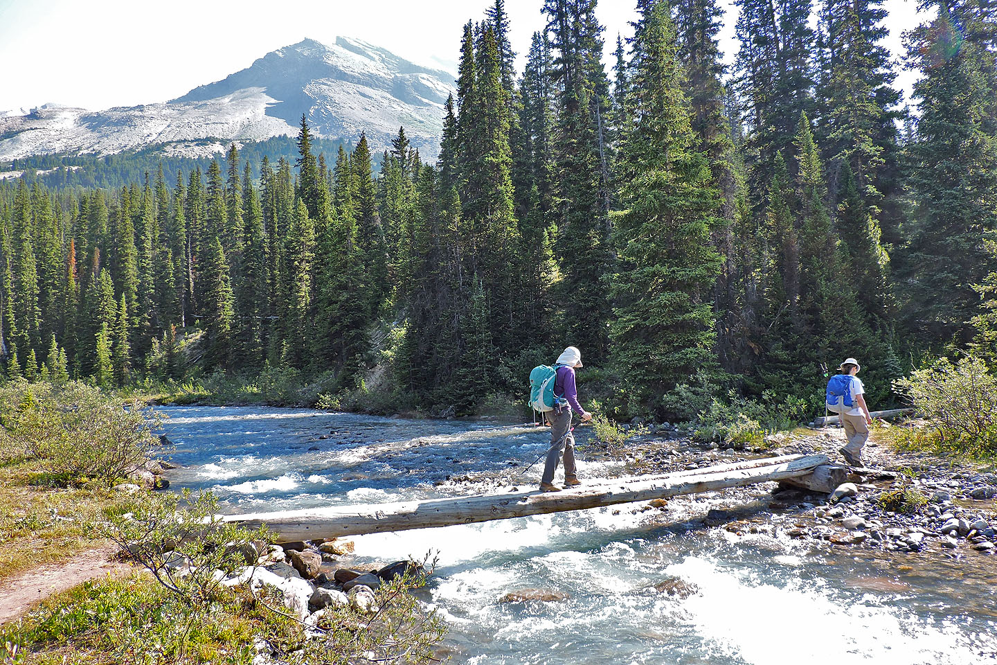
We crossed Nigel Creek a couple of minutes later
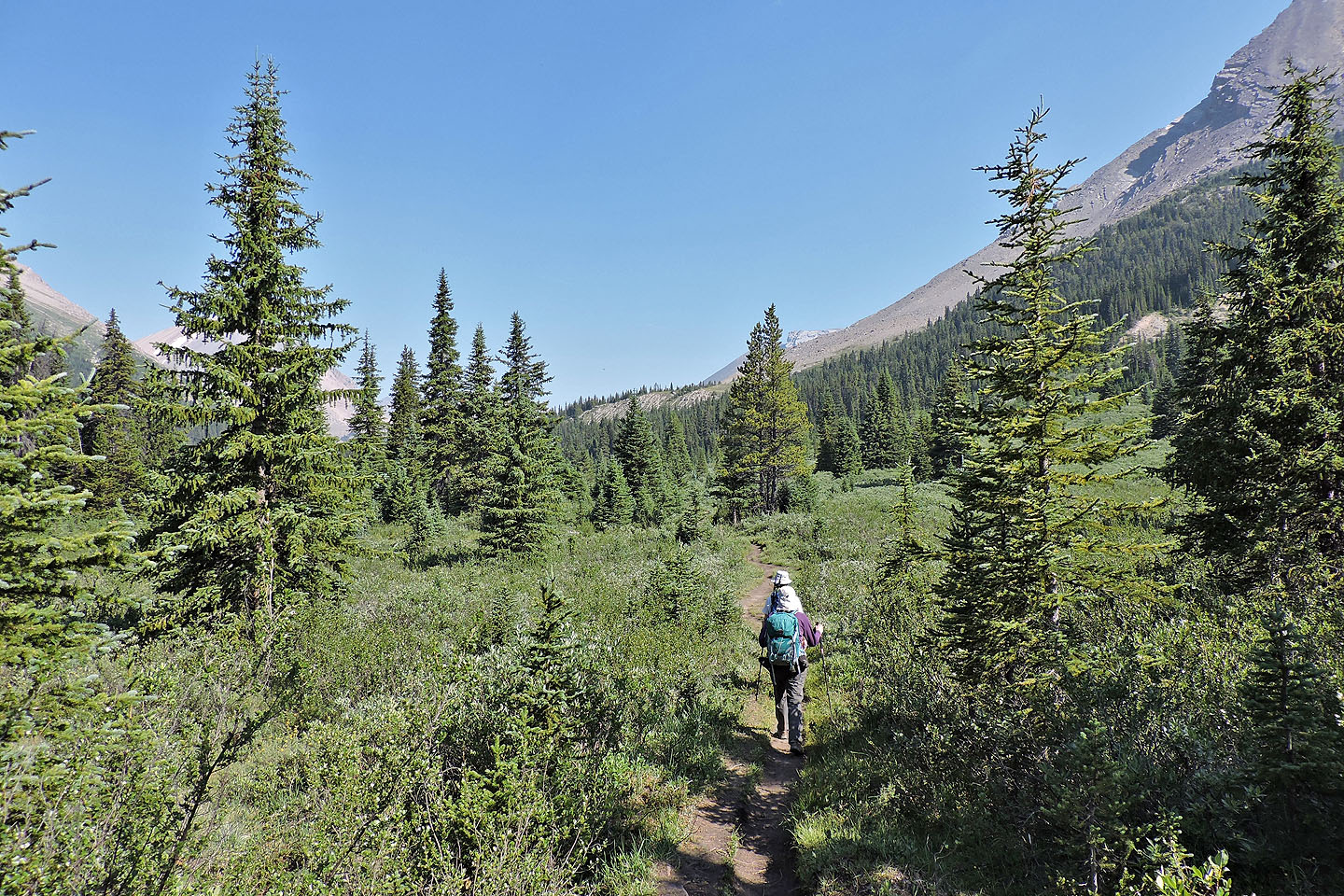
After the trail meanders though the woods, the scenery opens up
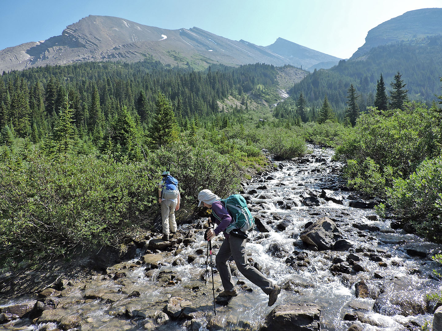
Crossing a stream
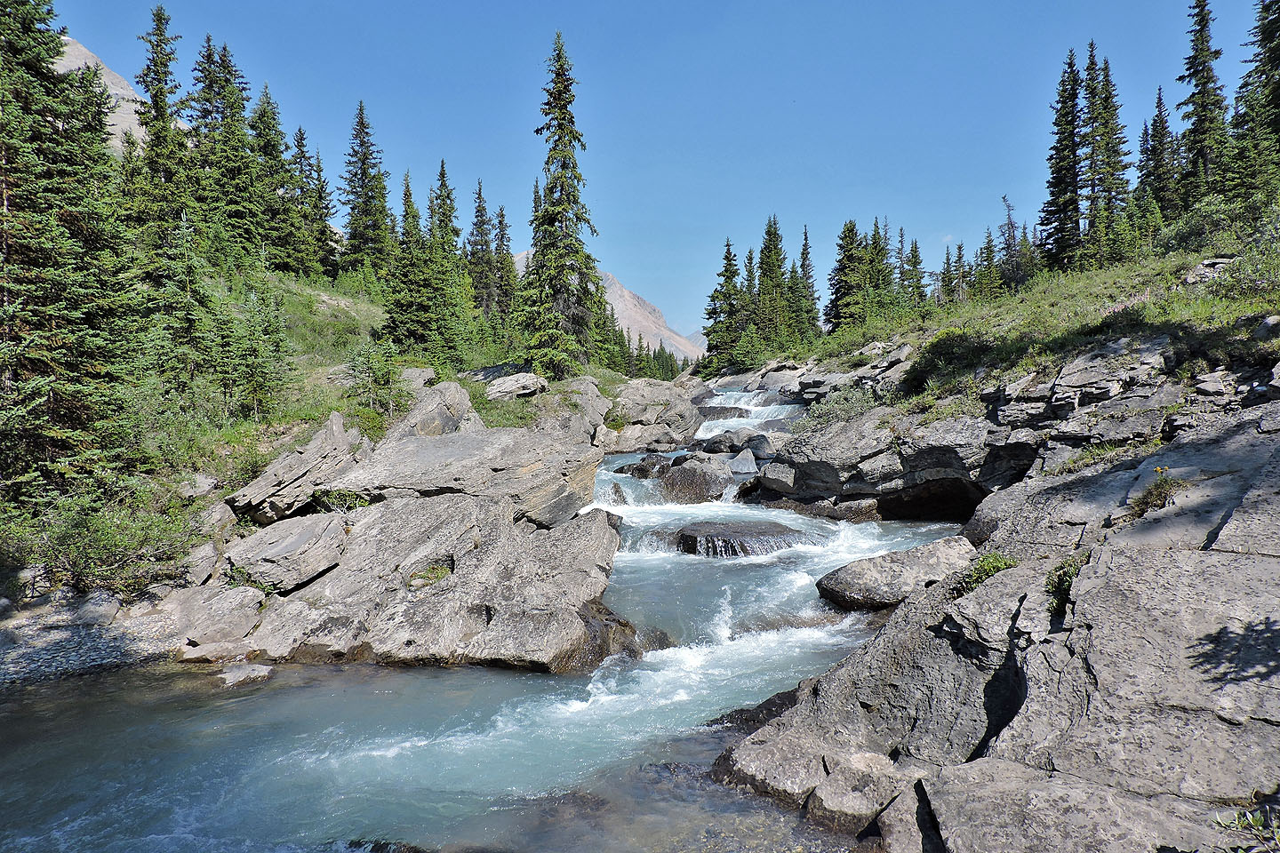
We took a break at these cascades
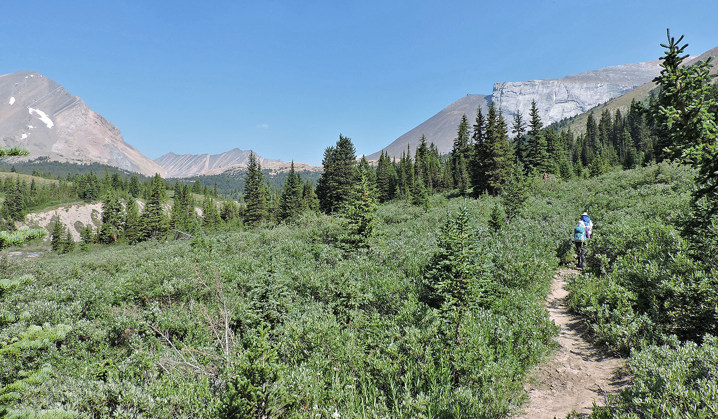
We got our first look at the pass
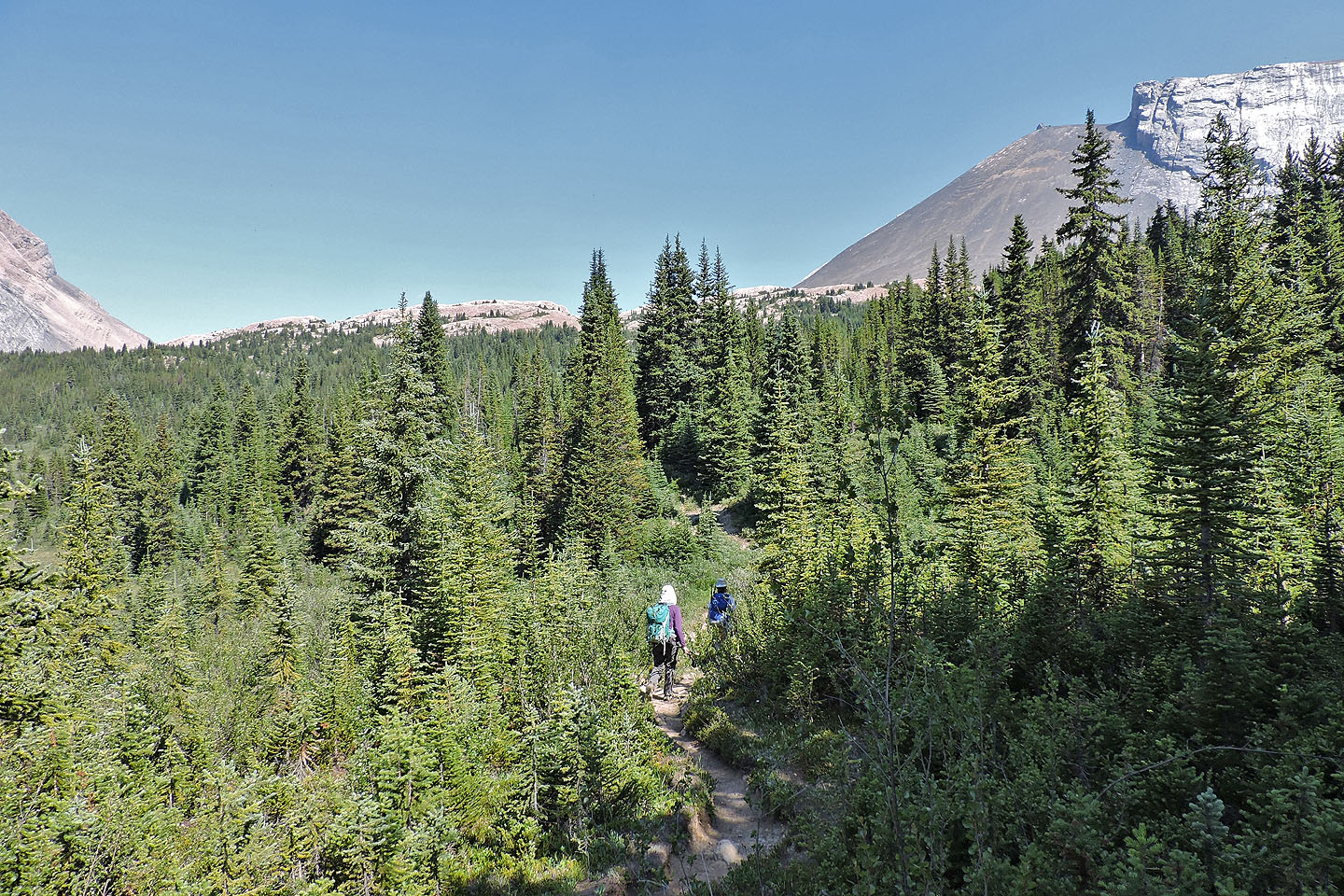
The pass appears ahead
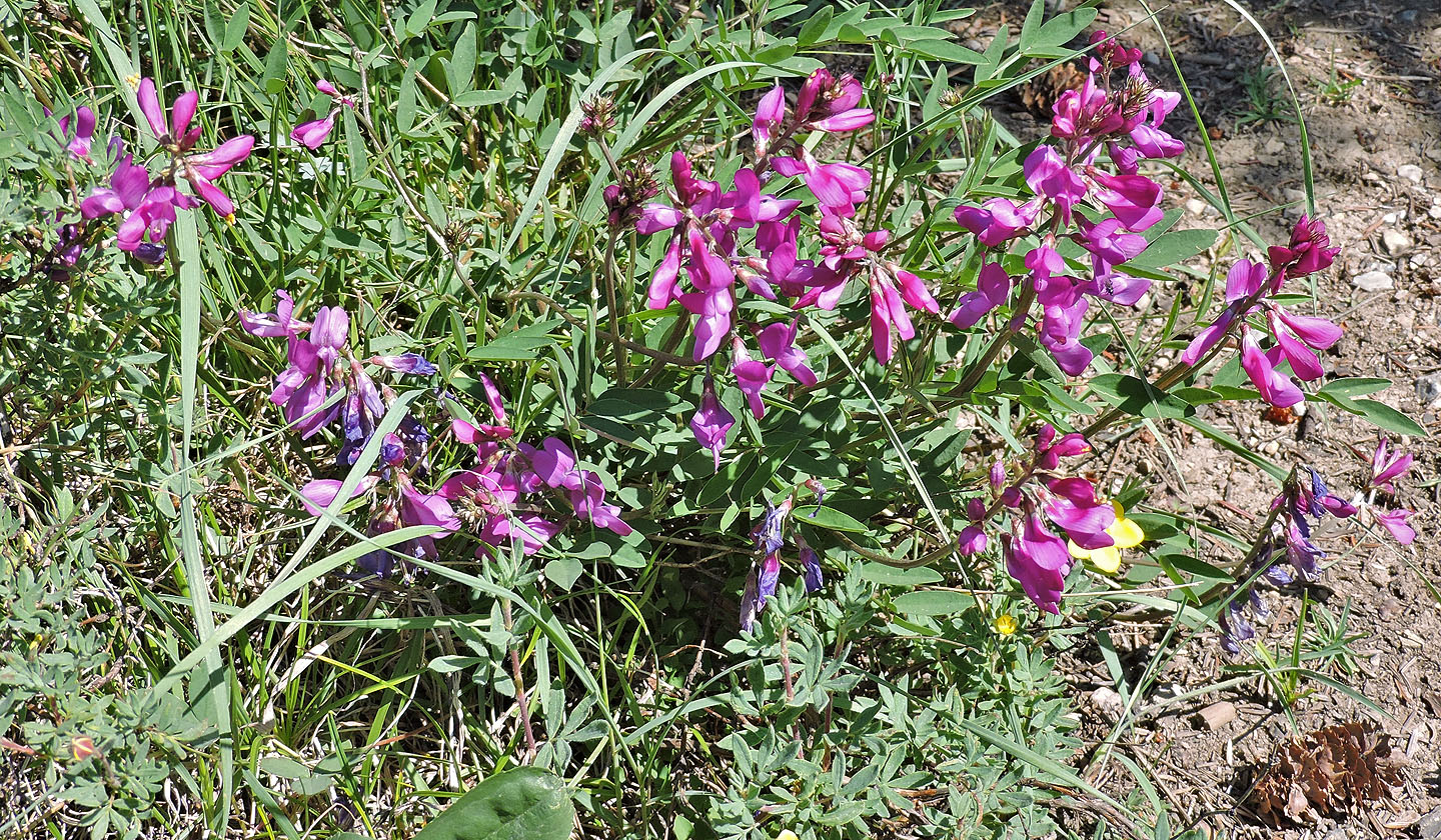
Northern sweetvetch
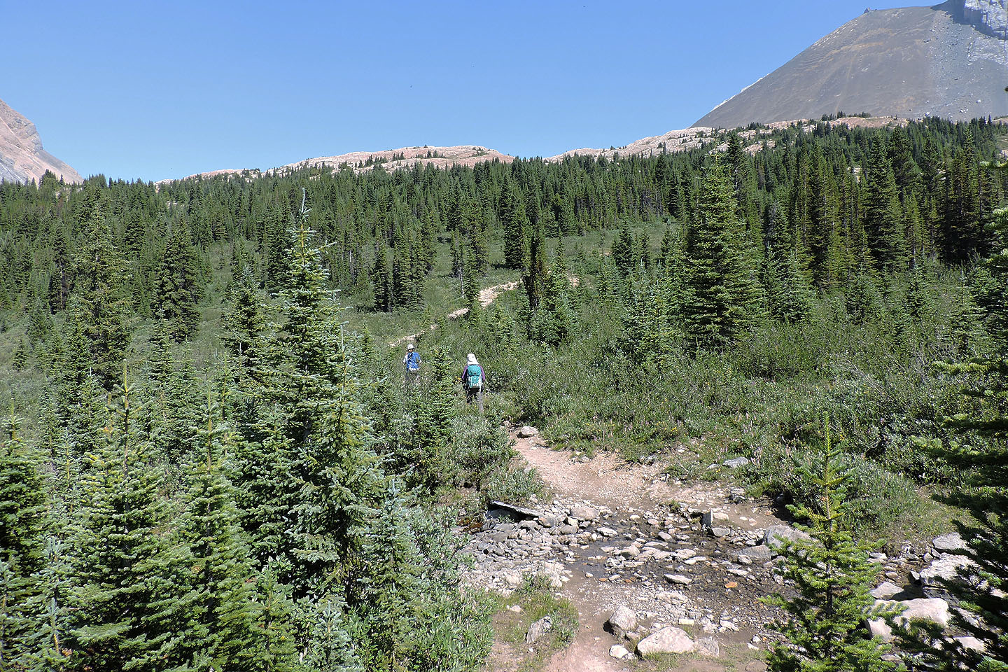
Not far now
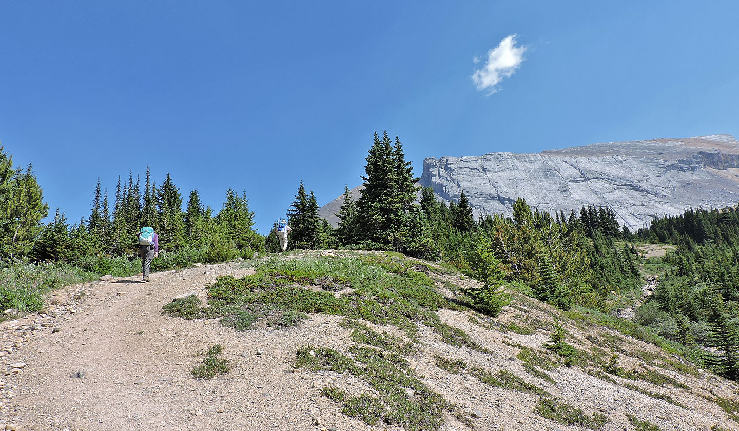
This is as steep as the trail gets
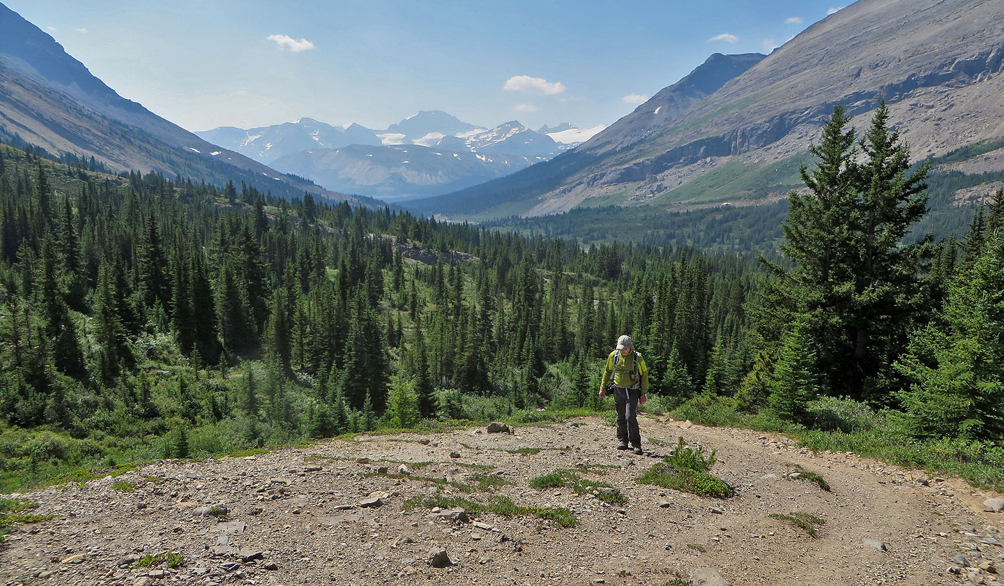
Behind us, Parker Ridge is barely visible because of a smoky haze
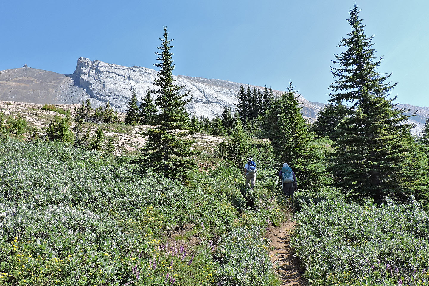
At the pass, we exited the trail after it turned right
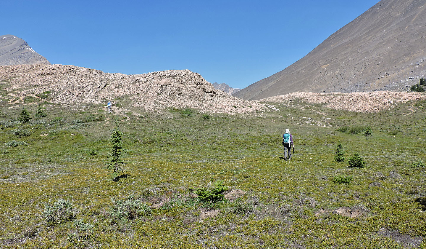
The pass is quite broad
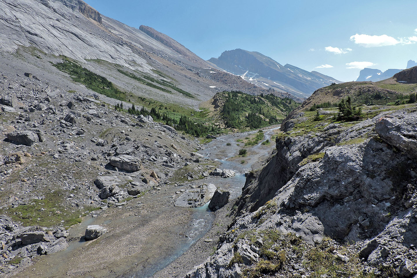
The trail continues over the pass and crosses Brazeau River
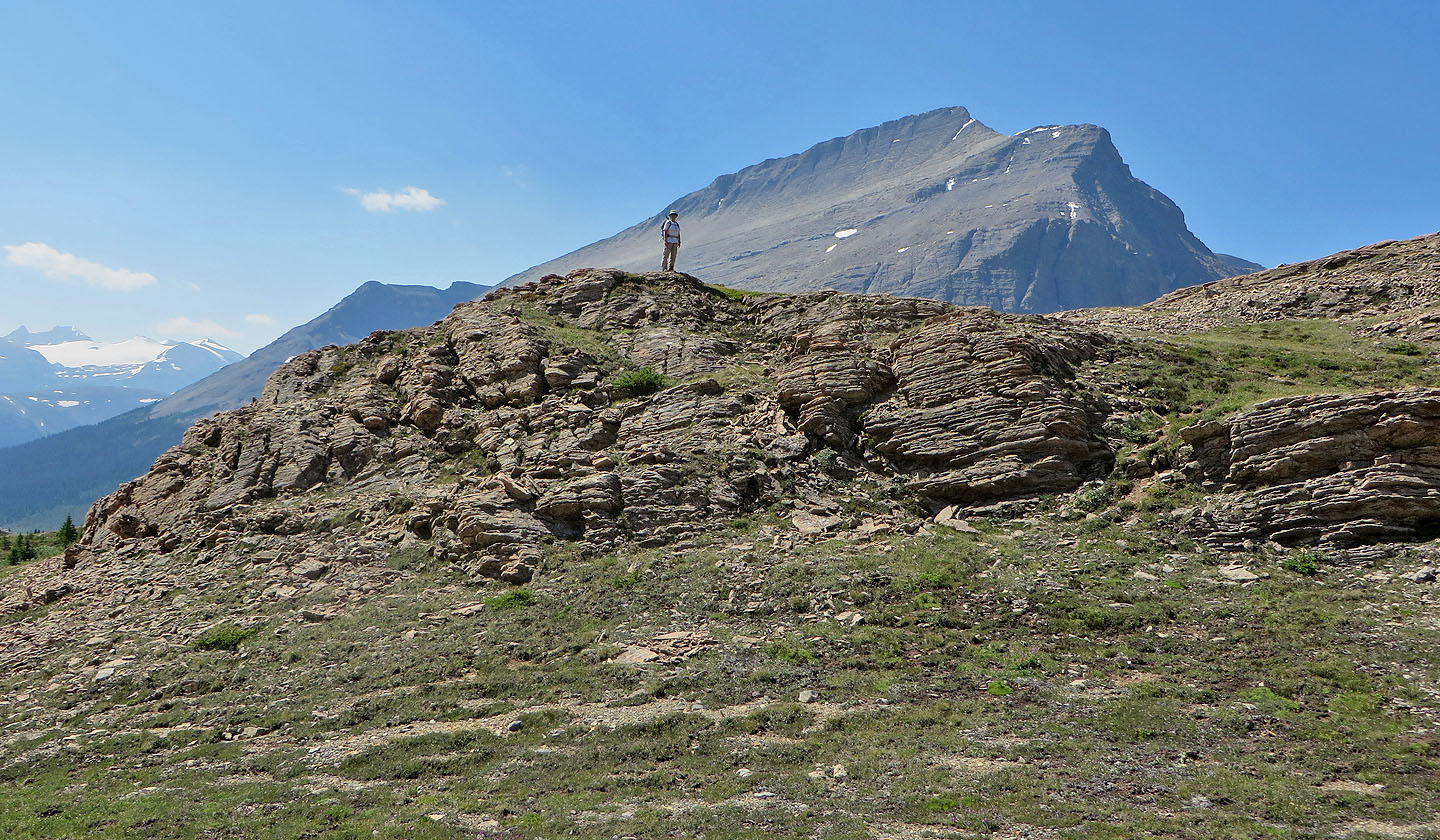
Zora starts hiking along the pass
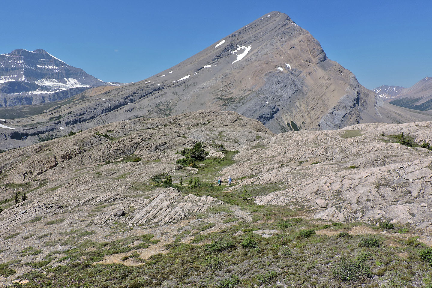
Dinah and Zora appear in the centre
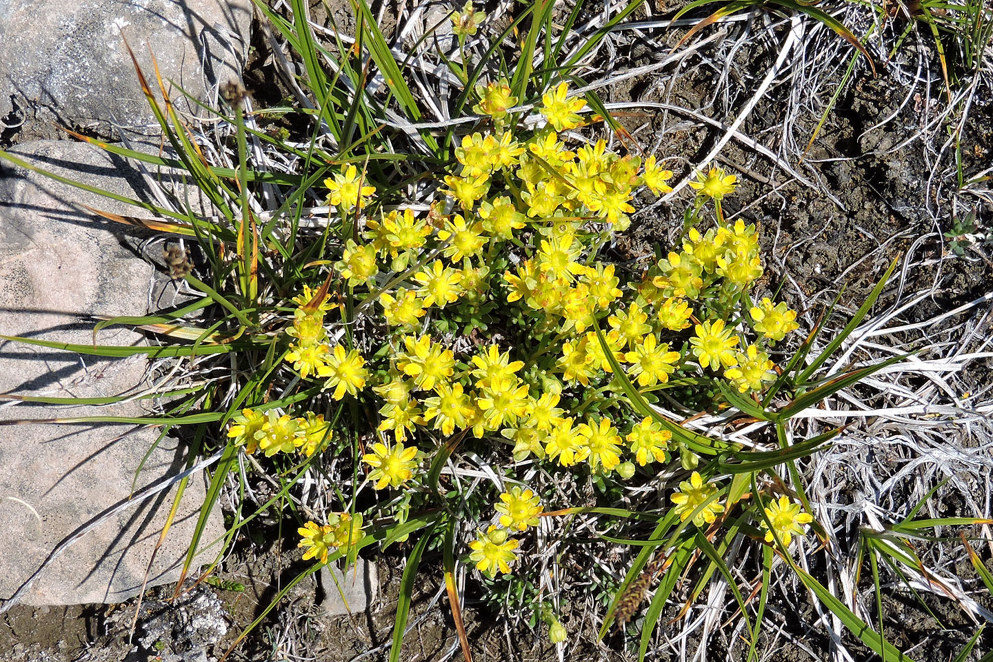
Yellow mountain saxifrage were common on the pass
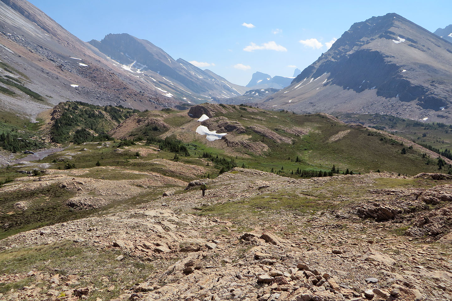
I followed behind
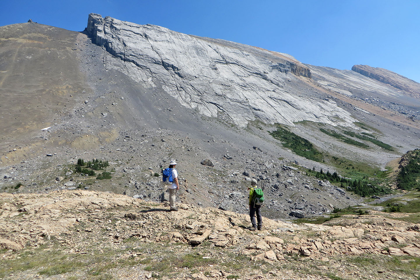
We were fascinated by this enormous rock face
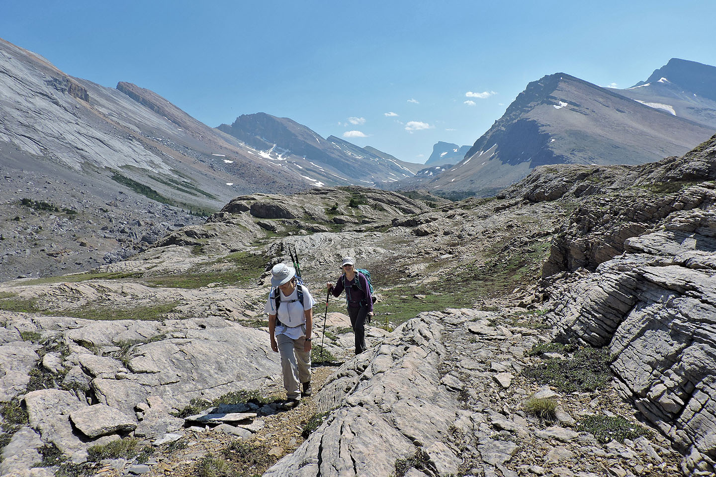
No scrambling here, just a hike
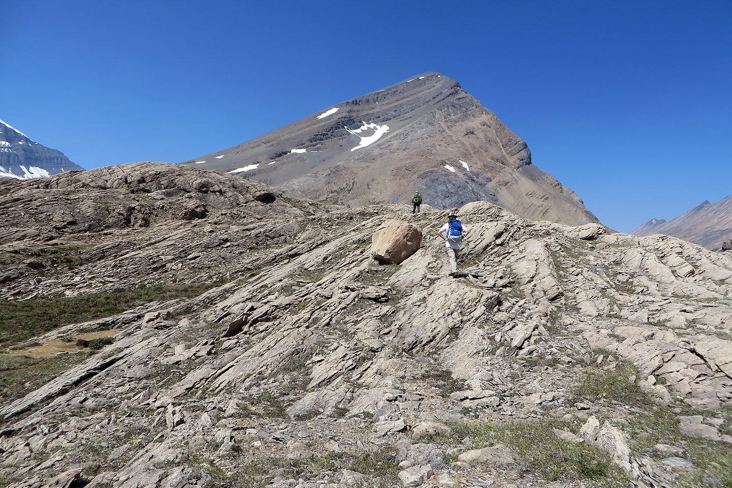
The west end is slightly higher than the east end
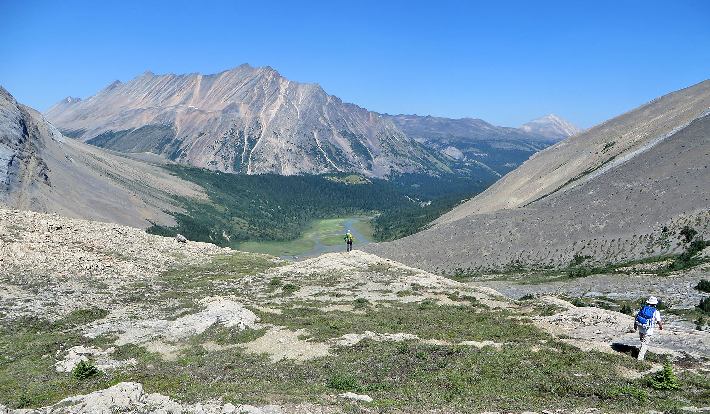
I stopped to look north down the Brazeau River Valley
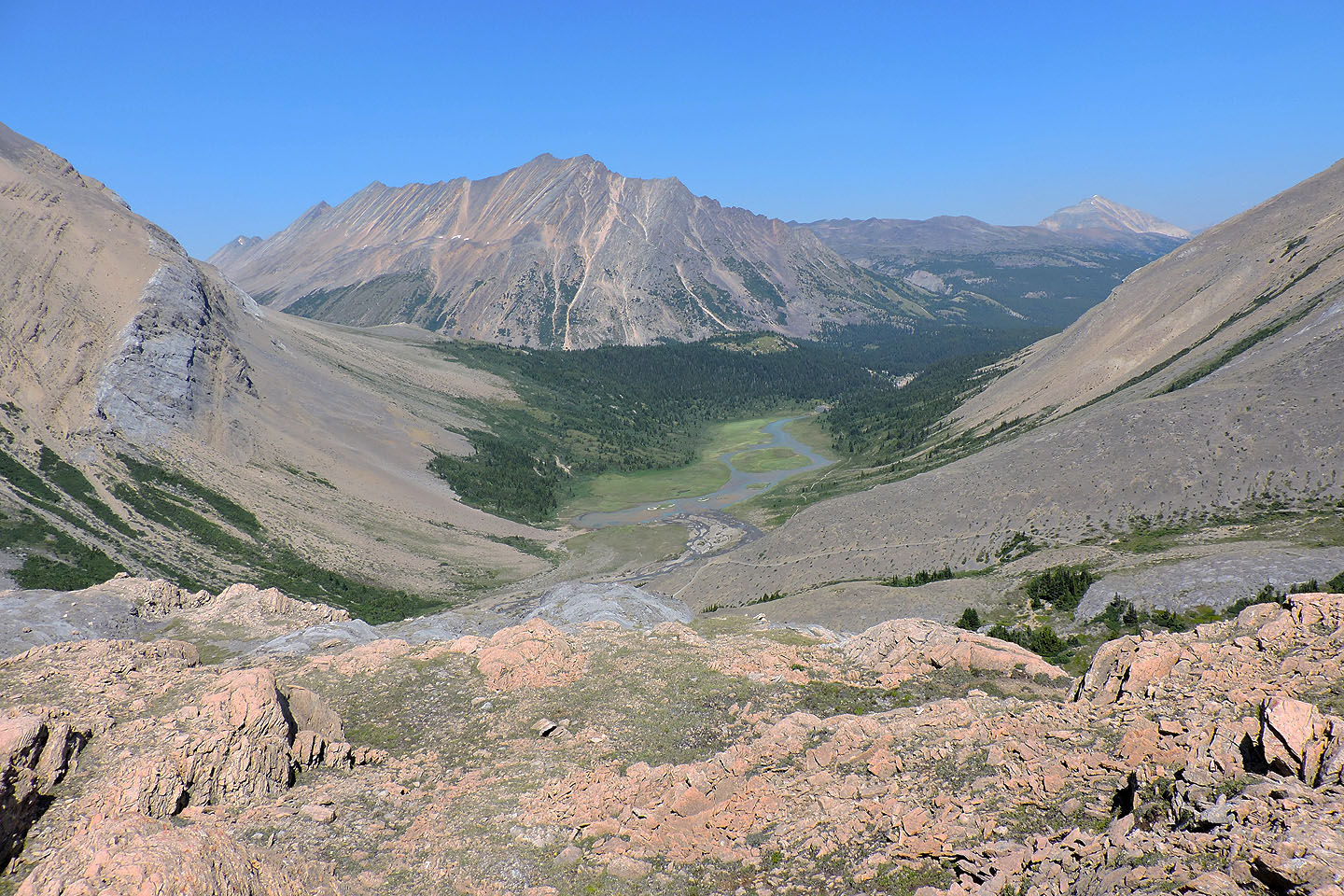
A closer look at the valley
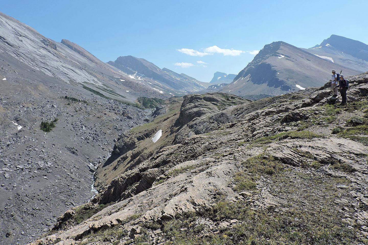
Looking up the river
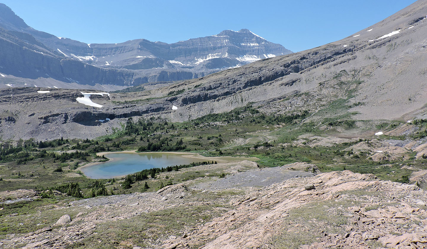
A tarn sits at the west end of the pass. Nigel Peak above. Mouse over for a close-up of the tarn.
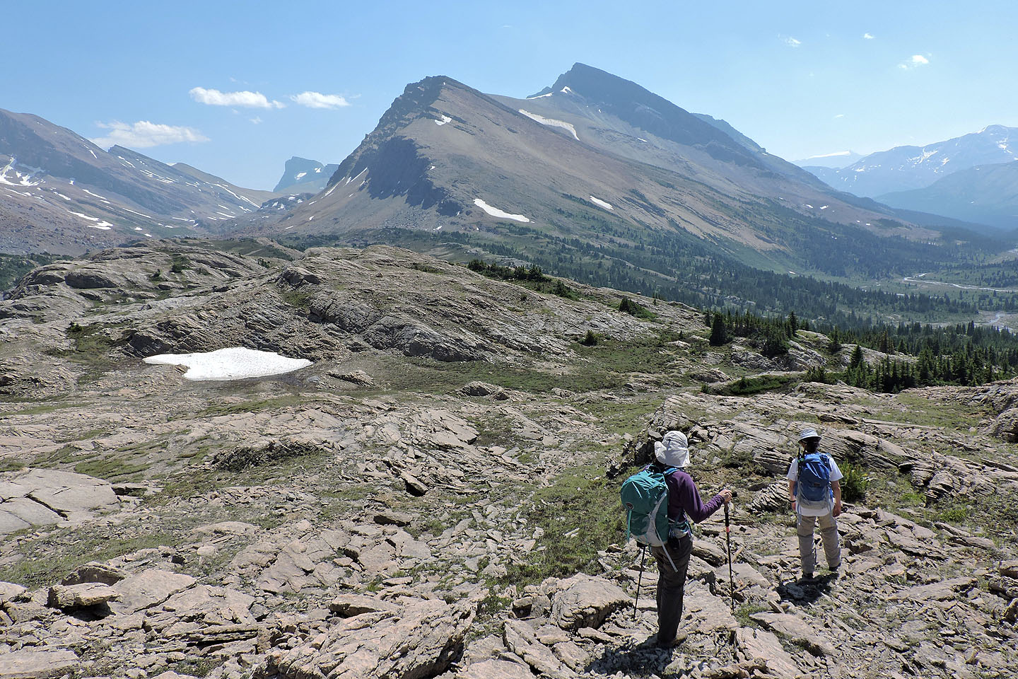
Heading back
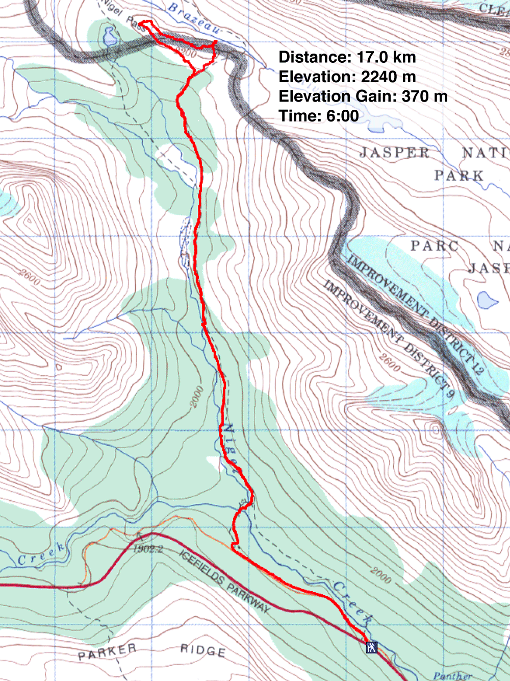
83 C/3 Columbia Icefields
