bobspirko.ca | Home | Canada Trips | US Trips | Hiking | Snowshoeing | MAP | About
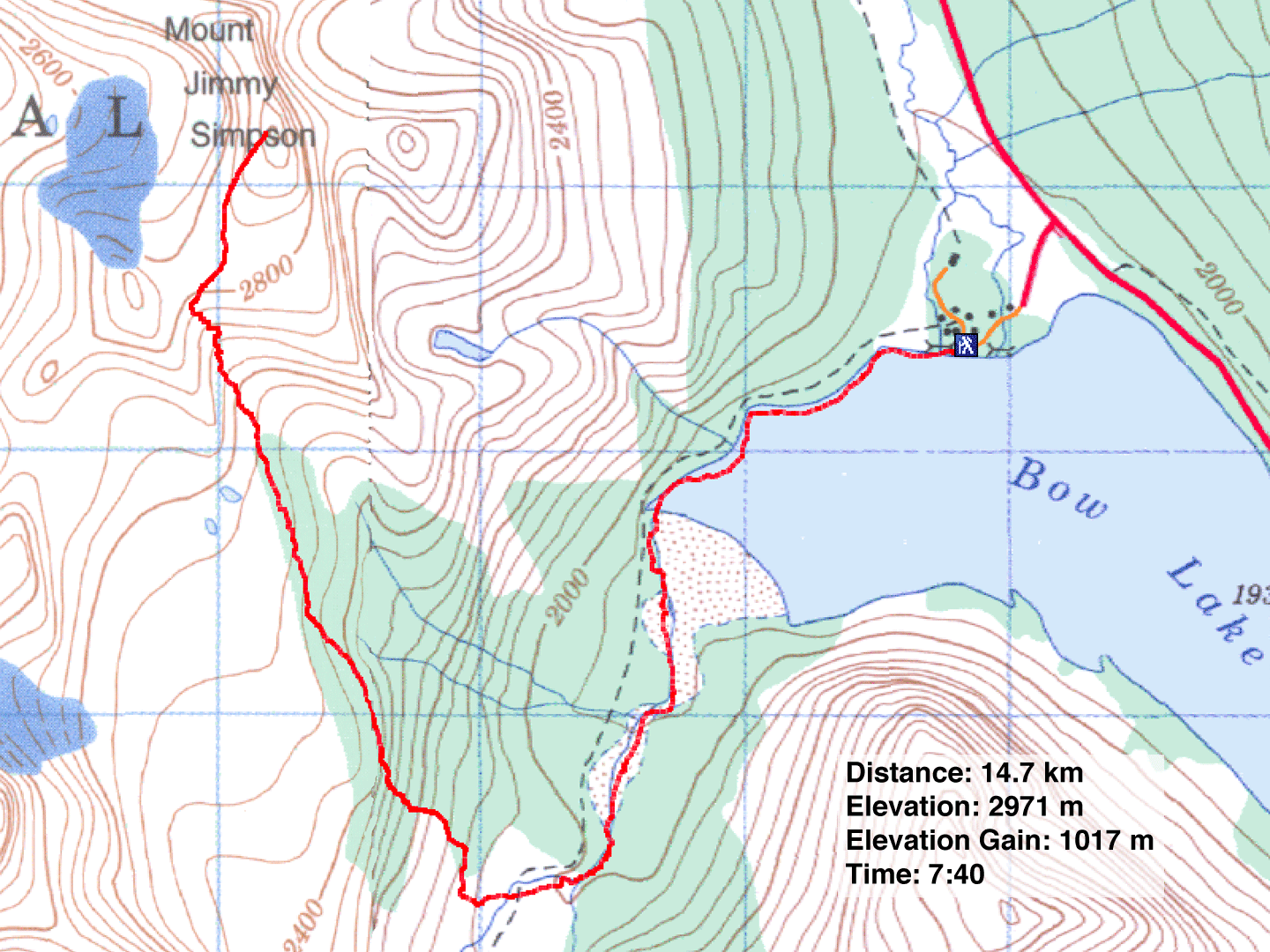
Mount Jimmy Simpson
Icefields Parkway, Banff National Park, Alberta
August 11, 2012
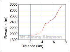
Distance: 14.7 km (9.1 mi)
Cumulative Elevation Gain: 1047 m (3435 ft)
When Marko Stavric invited me to do Mount Jimmy Simpson, I was caught off guard. I thought the mountain was confined to mountaineering. But after googling the Internet, I discovered it was an easy scramble. I was sold. Dinah and I agreed to join him and Amelie, along with his friends Emelie, Josh, Lynn and Parry.
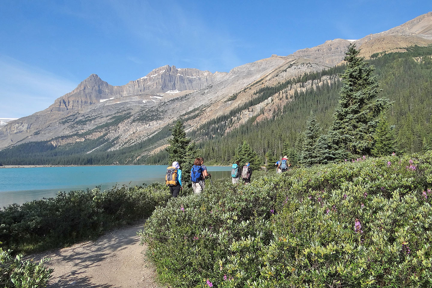
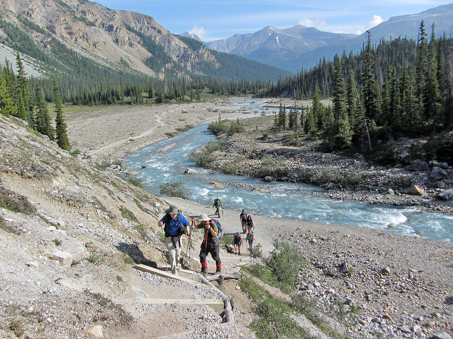
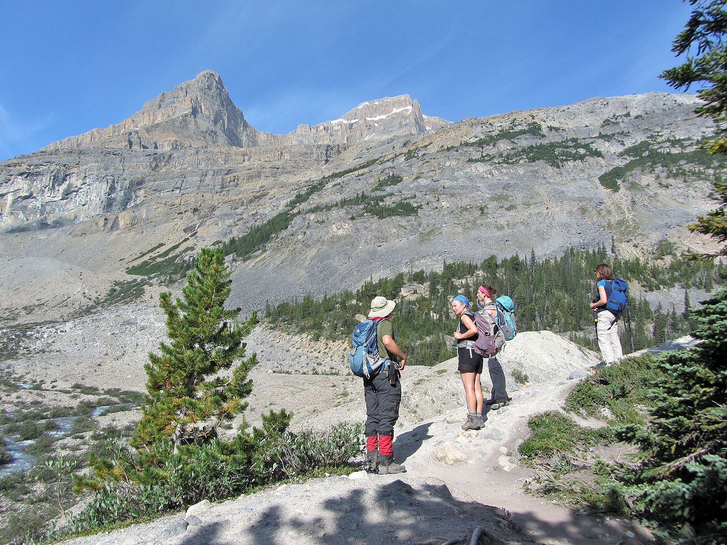
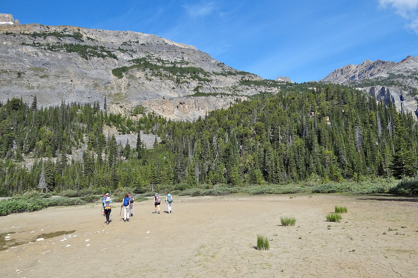
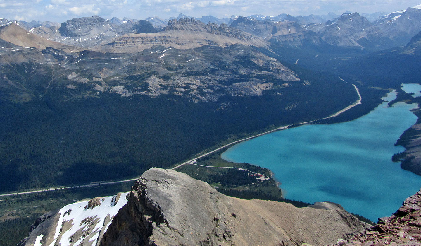
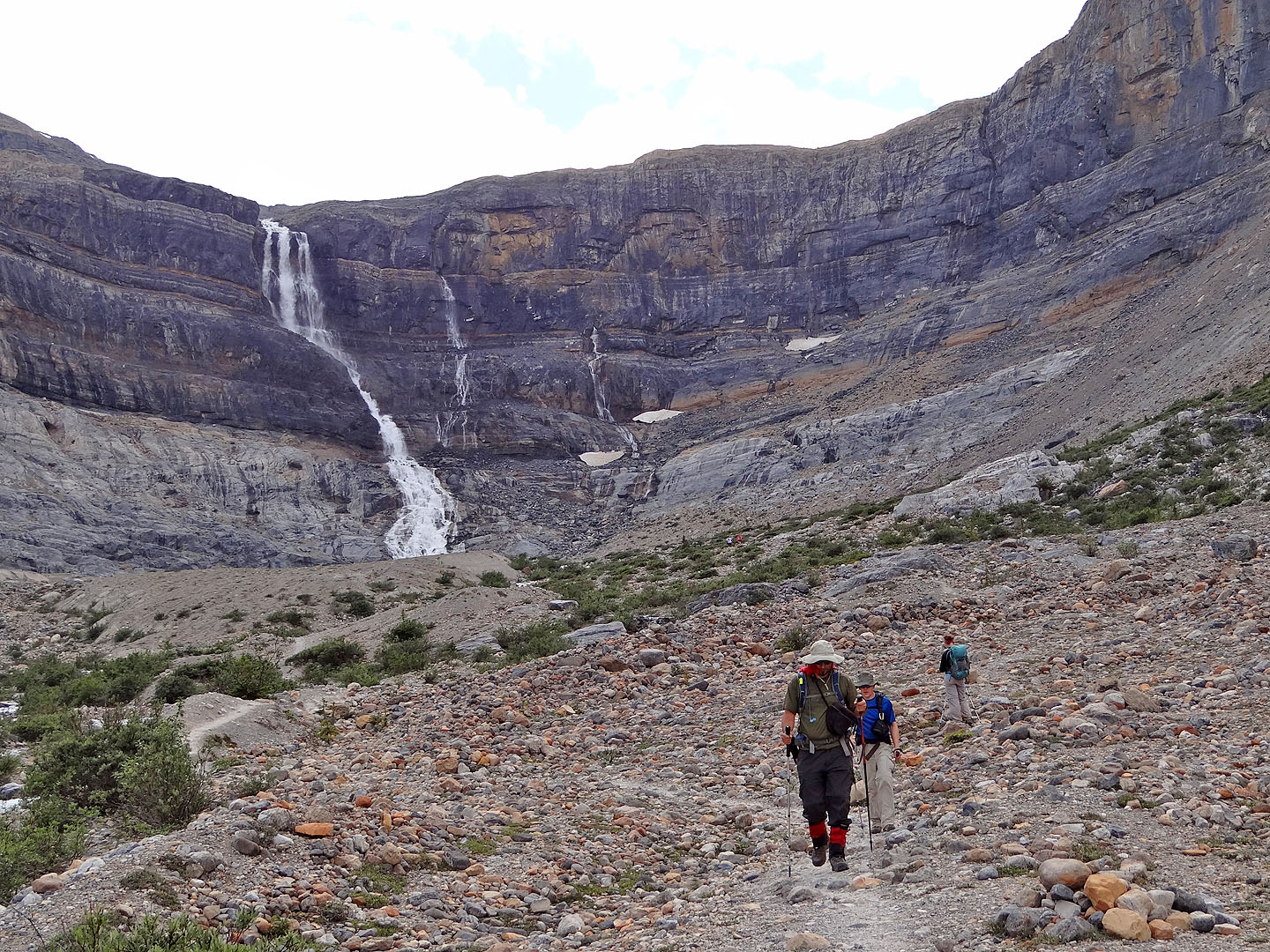
We gathered at the trailhead at Num-ti-jah Lodge. Except for Parry whom we met at a book launch, Dinah and I didn't know anyone. However, the trail offered a chance to fix that. Hiking alongside beautiful Bow Lake, Dinah and I quickly warmed to our new companions as we fell into talk of climbing and mountains. But after leaving the trail our discussion turned to routefinding.
We followed the route description on truedino.com. Briefly stated, we should follow the trail almost to the headwall at Bow Falls. Then leave the trail and seek a ledge high up on the east slopes of the south ridge. This ledge leads to the gully below the col south of Mount Jimmy Simpson where the summit is within easy reach.
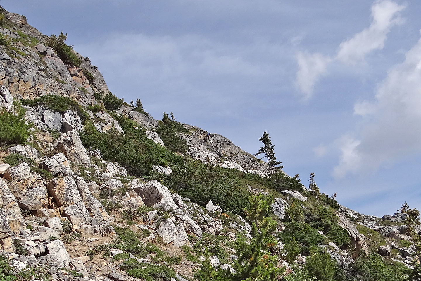
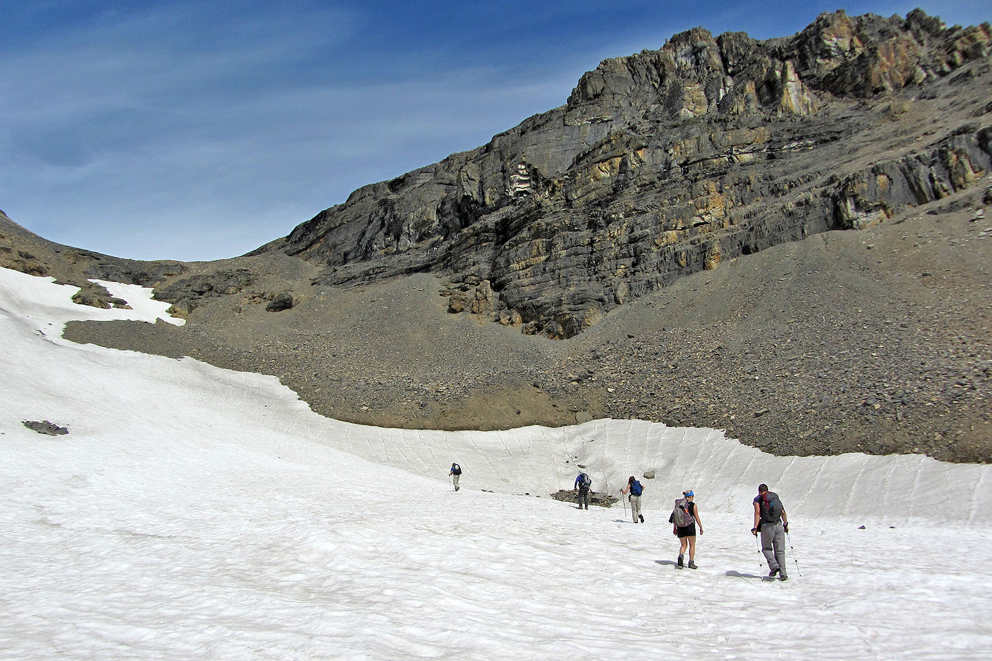
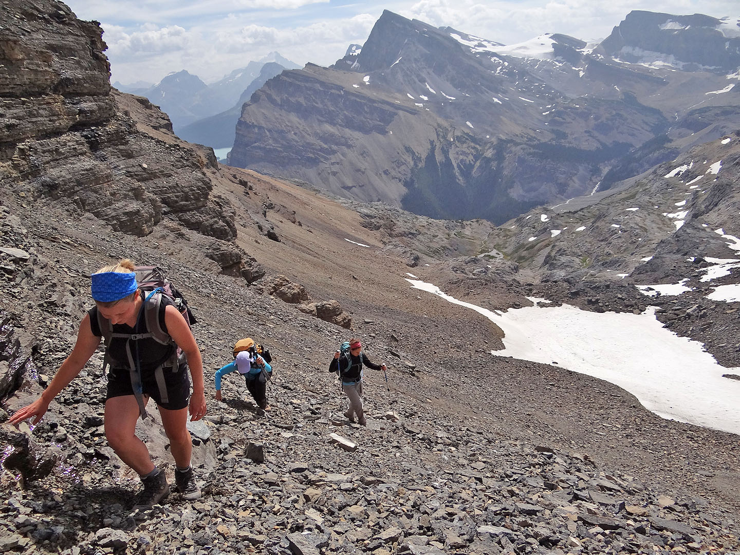
The trick was to determine the correct ledge for there were a few possible candidates on the steep slope. Fortunately that was easy and once we spotted it, we headed to it. We bushwhacked up a steep slope but as we learned later, it's easier to stay longer on the trail to reach an open ramp. Either way places one below a steep cliff under the ledge. It was both pointless and impossible to tackle the cliff above us where the ledge appeared to start, but easier terrain flanked either side. Splitting into two groups, one went up the left side while the other climbed right. Both routes worked and even though the route on the right was shorter, our different paces had us converge on the ledge almost at the same time.
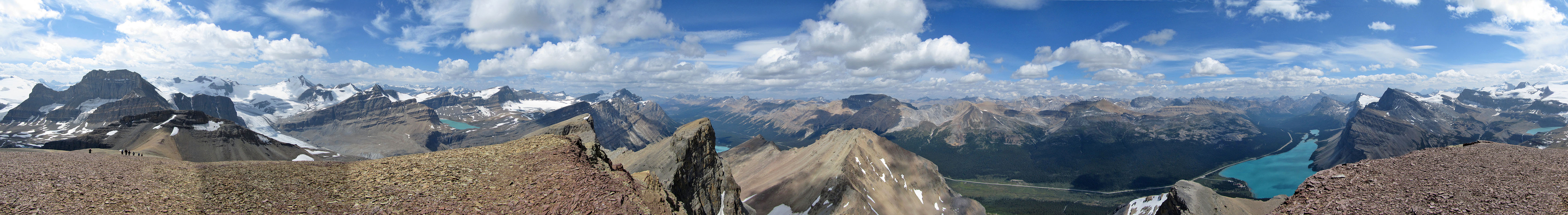
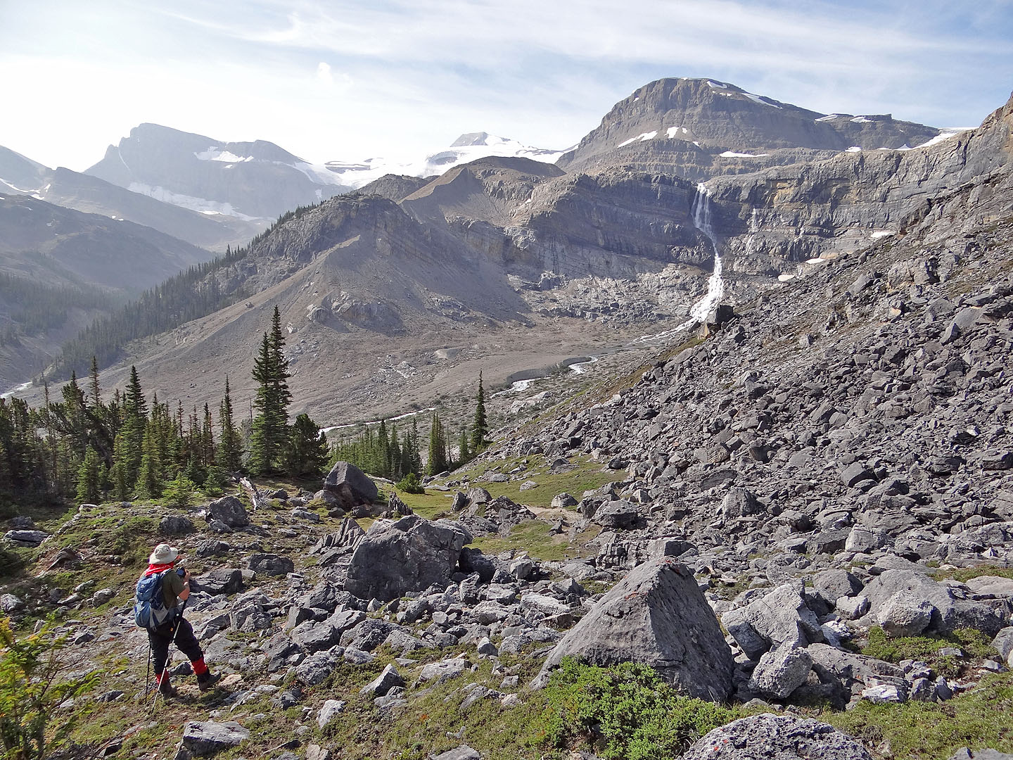
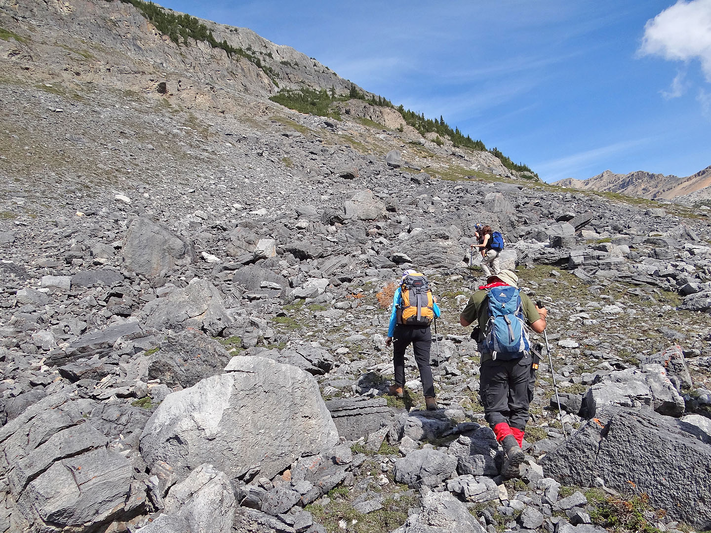
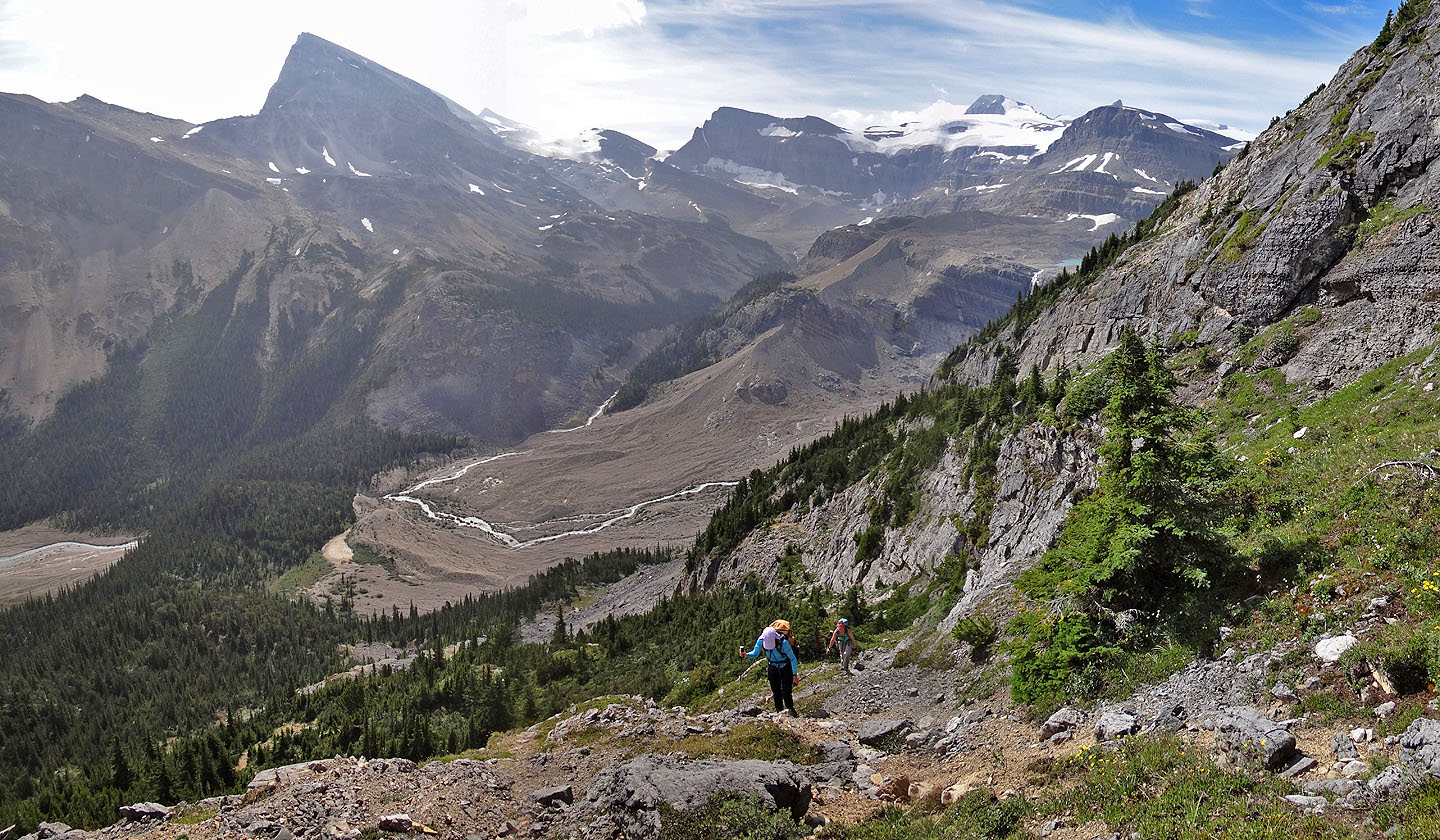
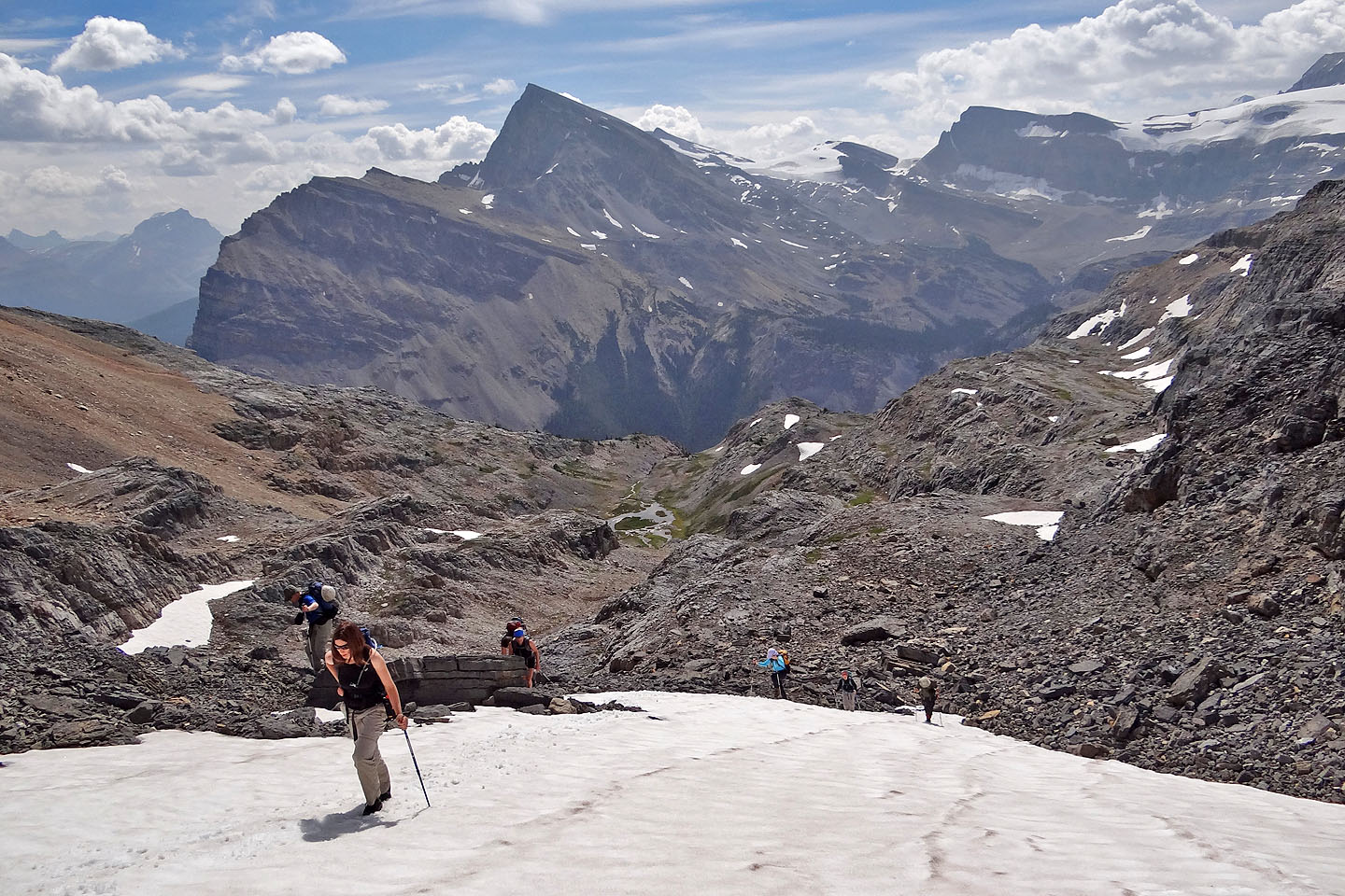
Once on the ledge the girls and I were content to stay on it. But Marko, Parry, and Josh, unable to resist the lure to climb higher, each claimed their very own ledge. Eventually the slope eased and brought everyone onto a broad bench. After reaching the end of the bench, we ascended the col. Here the loose rock both tested our patience and required care because of the risk of falling rock, but after the col a gentle, scree-covered ridge led to the summit.
Our summit was snow-free, but the icy peaks half surrounding it gave it a loftier air. The summit setting was not only terrific but soporific, at least for Parry who stretched out on the summit for an hour, hardly stirring. The rest of us merely succumbed to inertia. Eventually we roused ourselves and made our way back down, a descent as fun and enjoyable as the climb up Mount Jimmy Simpson.
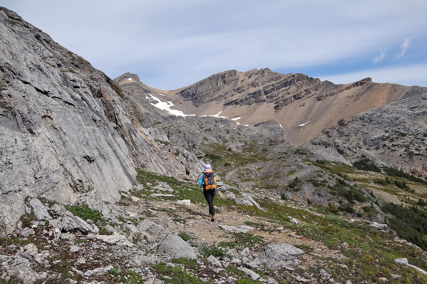
Starting up the trail
On the trail
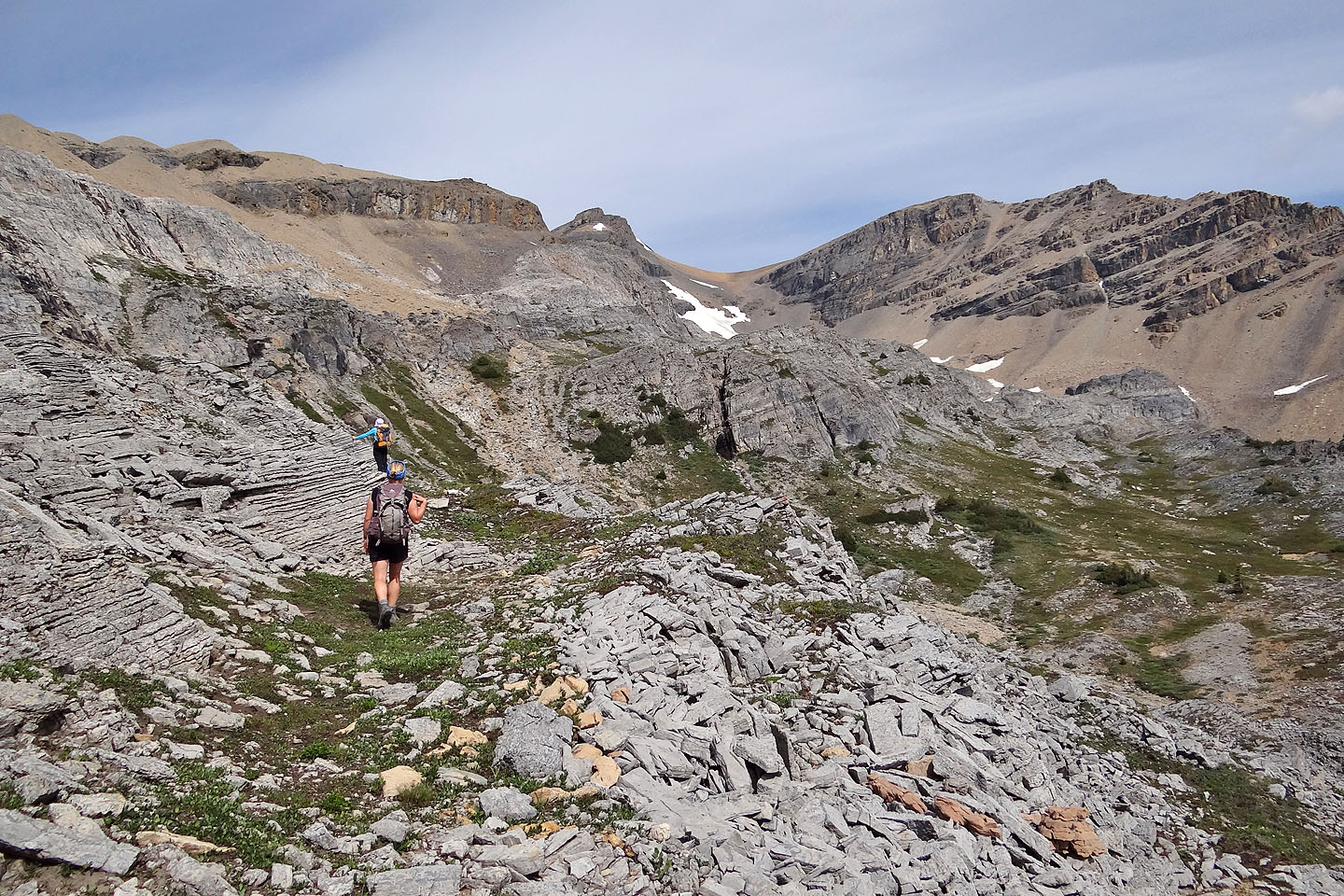
We needed to ascend the slopes ahead
Looking up the slope we ascended (mouse over for our approximate route)
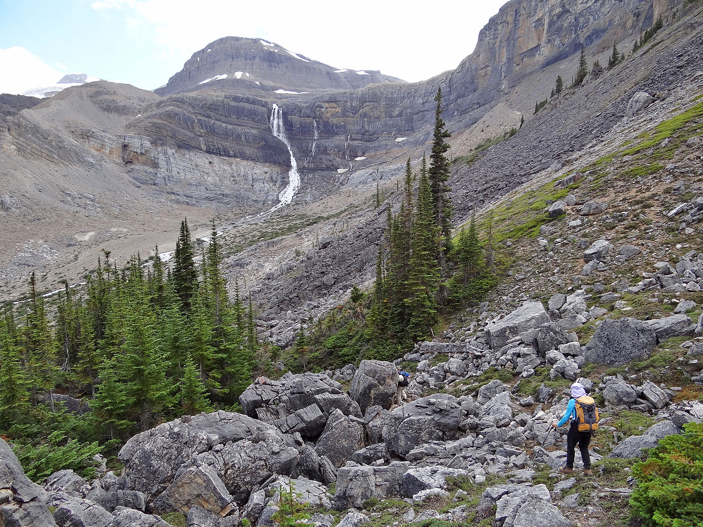
Marko prepares to take a photo of Bow Falls. We bushwhacked to get here but the green ramp
in the centre is a better route up.
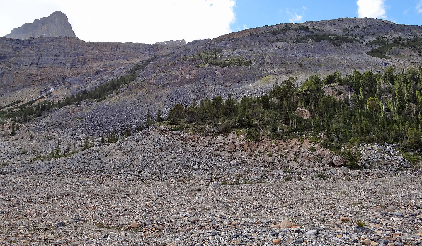
On the lower slopes, the nearest trees marked the start of the short route to the ledge
Parry (centre) on his way up to the ledge
 Looking back
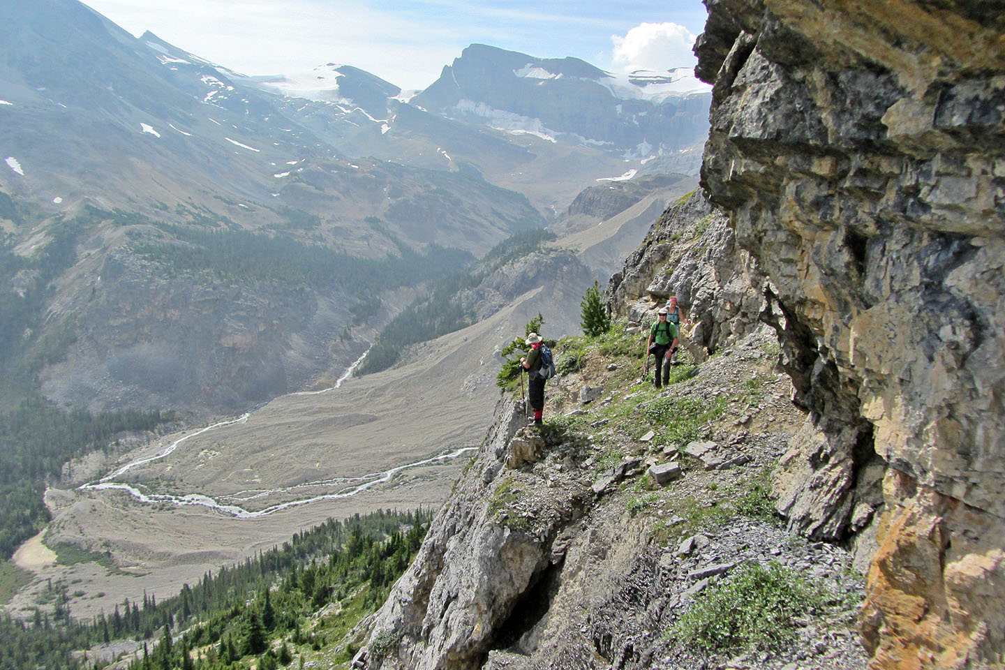
The ledge narrows in some places
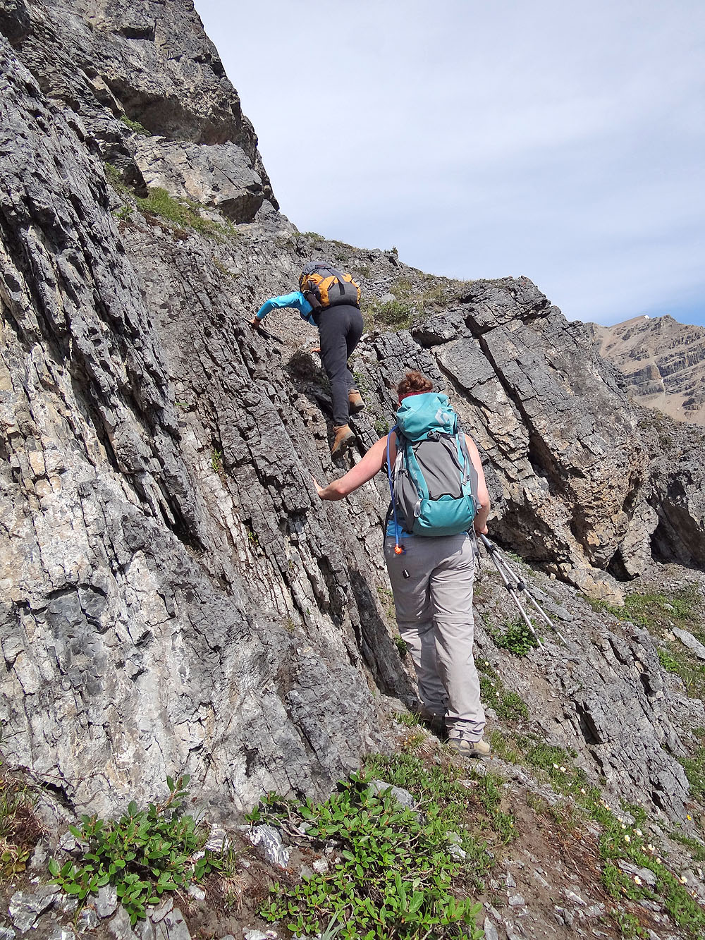
The only scrambling I did along the ledge was here. Not much, eh?
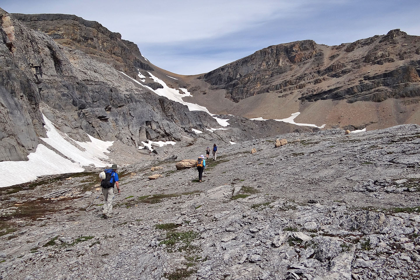
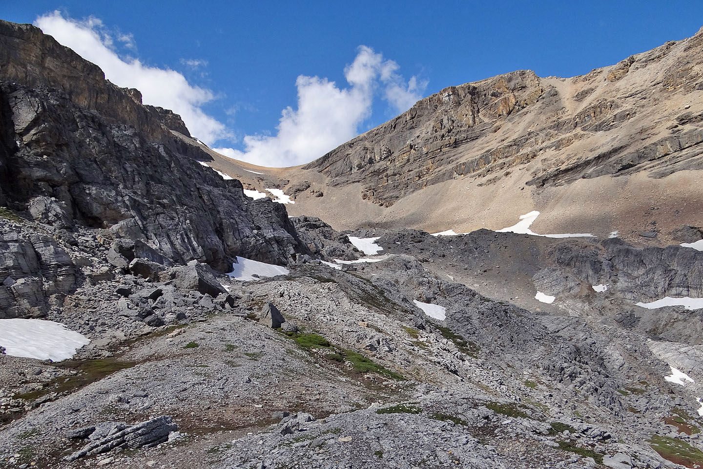
After the slope eased, the col and Mount Jimmy Simpson came into view
From here we'll go up the stretch of rock in the foreground
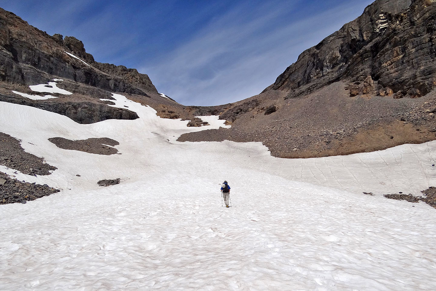
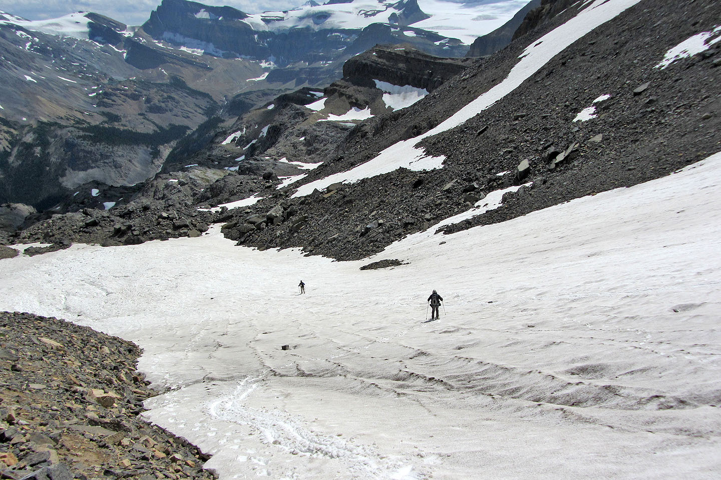
Heading to the snow patch in the centre (mouse over to look back)
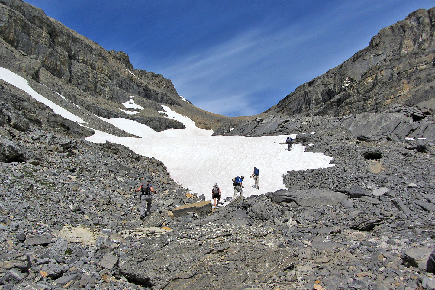
Kick-stepping up the snow
Heading up the col. We'll eventually leave it for the miserable scree on the right.
Looking back. Crowfoot North and Crowfoot Mountain on the left.
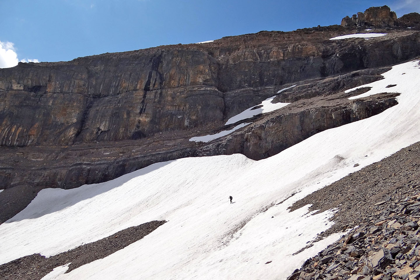
Parry hikes up the snow
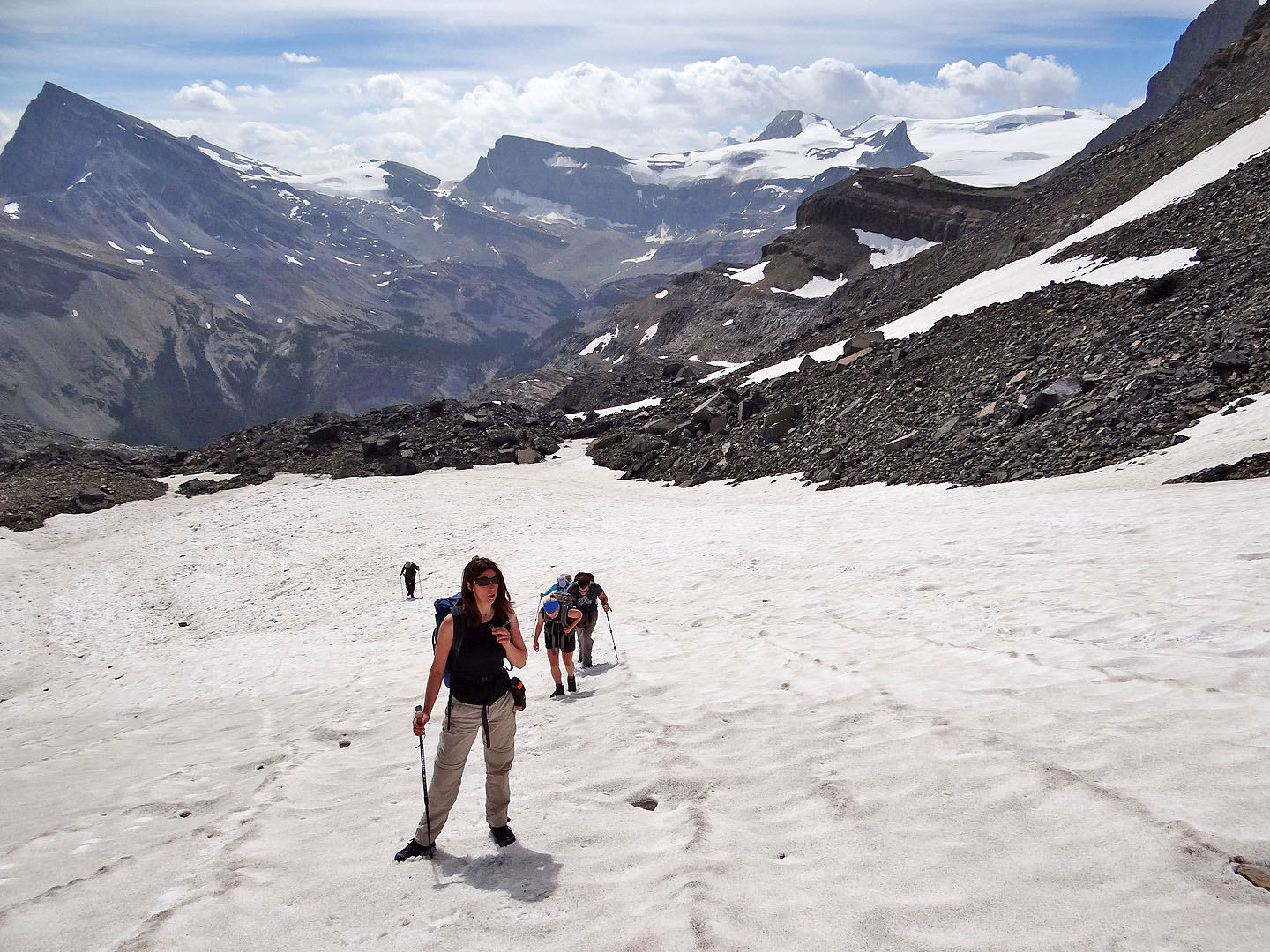
Well up the snow field
Coming up the scree
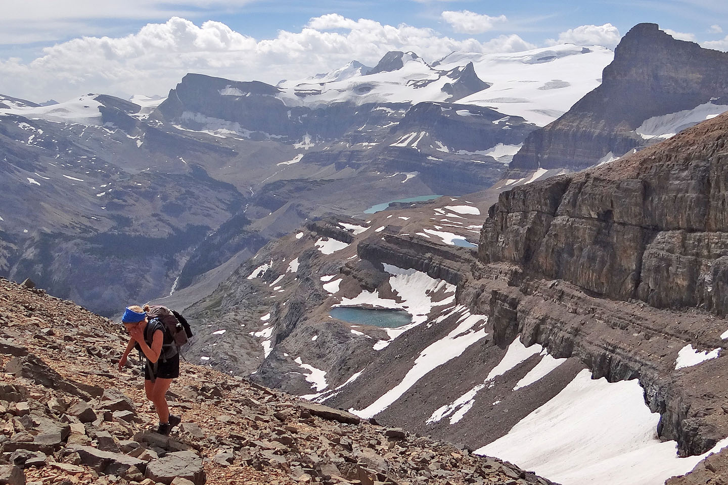
Above the col, we can see the lake above the falls and two tarns
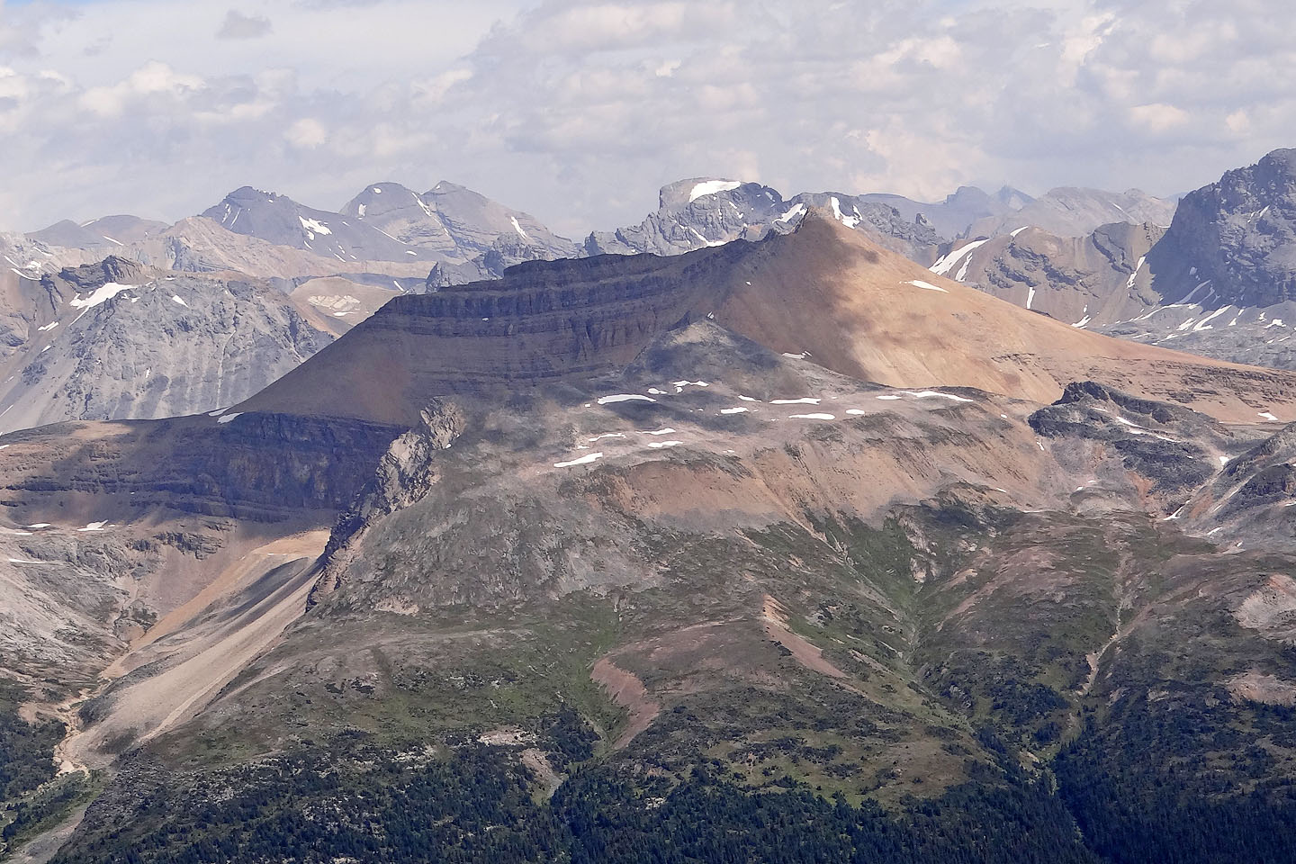
The Onion appears above Iceberg Lake in the centre
Looking back at the col
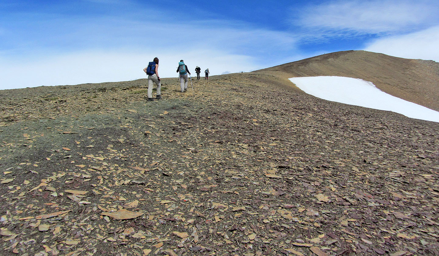
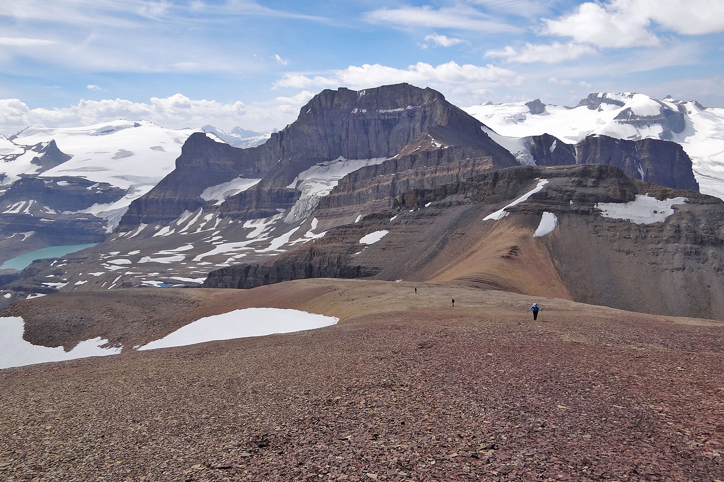
The long slog to the featureless summit
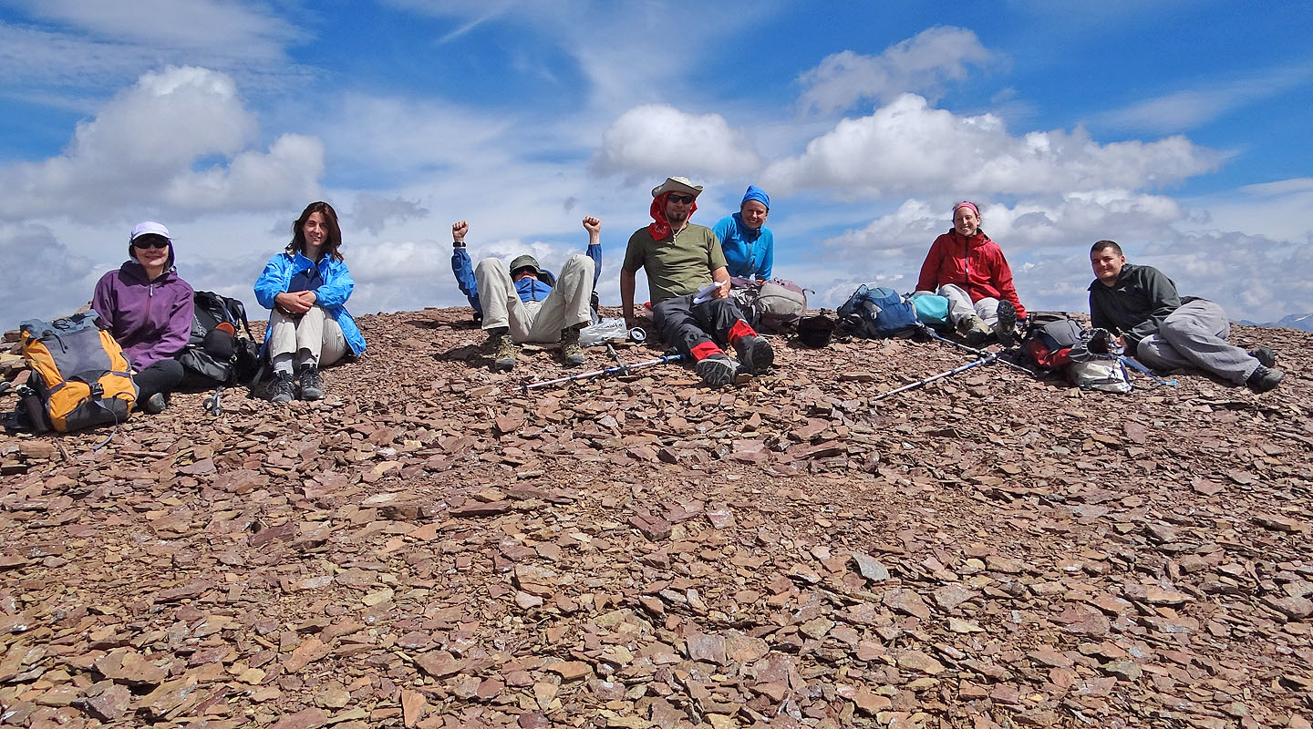 Dinah, Lynn, Parry, Marko, Amelie, Emelie and Josh on the summit
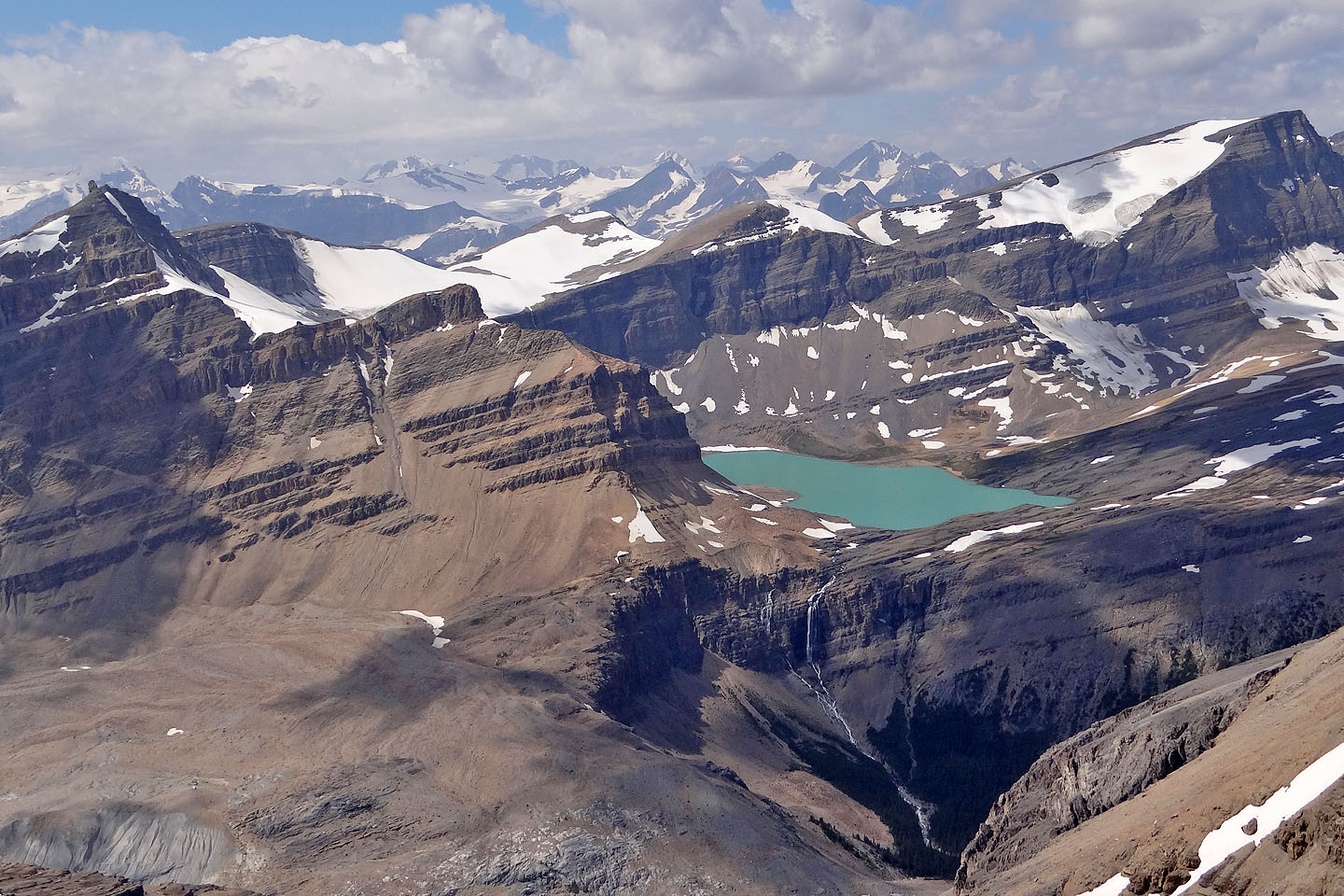
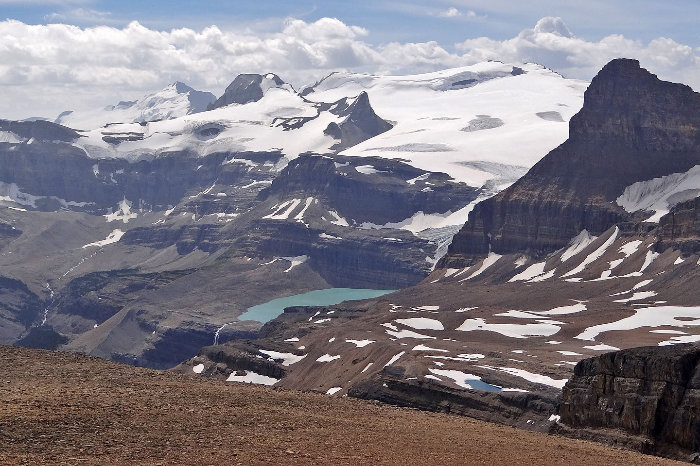
Caldron Lake nestles between Peyto Peak and Mistaya Mountain. Peyto's summit pinnacle looks
daunting! (mouse over for a close-up)
Looking 200 m down at Jimmy Simpson Jr
Boot-skiing down the snow below the col
On his way to visit a tarn, Marko cuts across the snow (mouse over)
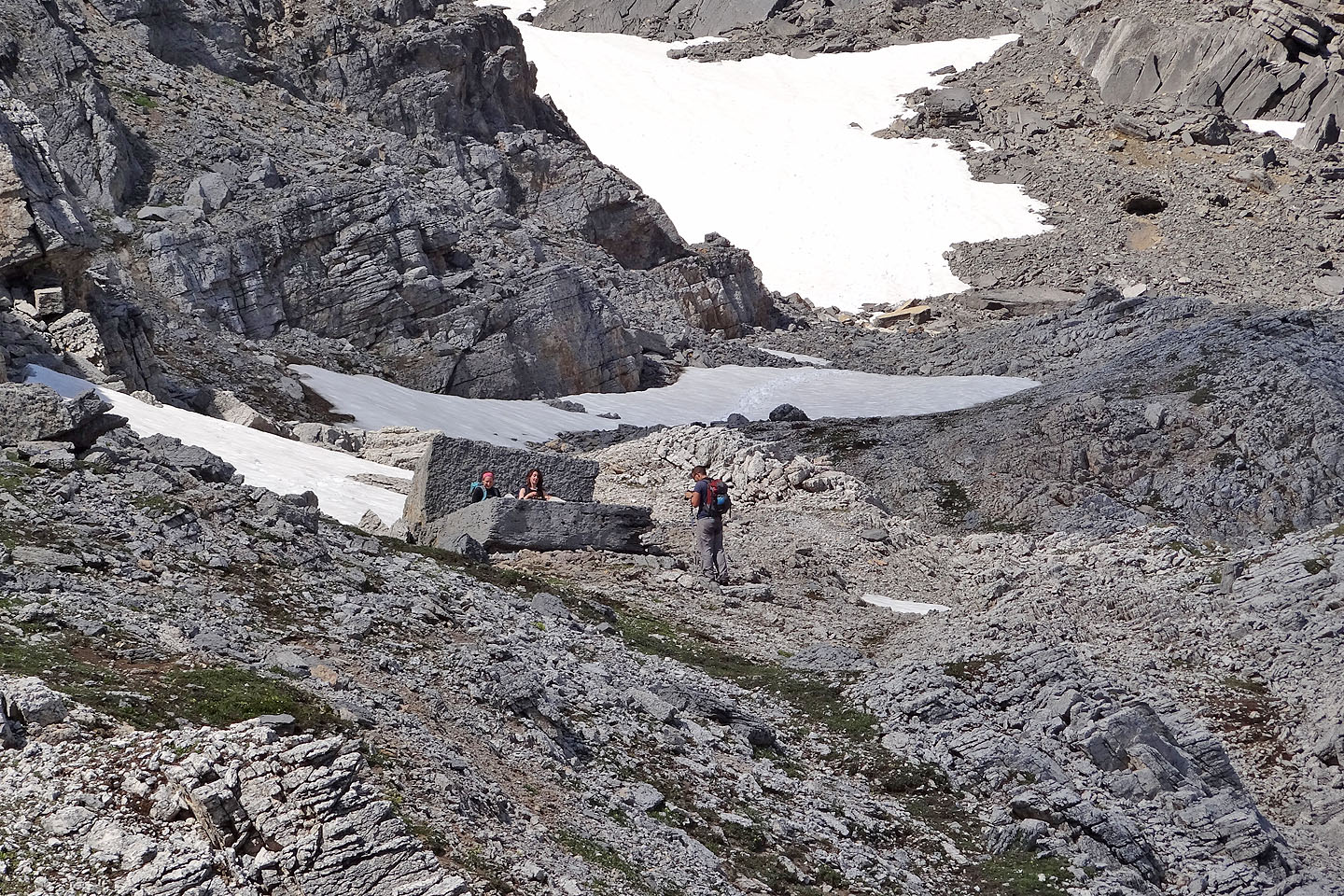
On the way back, Josh snaps a photo of Emelie and Lynn on a huge stone couch (mouse over
for a close-up)
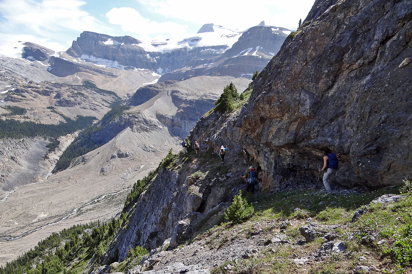
Following the ledge back
Taking the ramp down to the trail
On our descent we followed the ramp in the middle (seen from the trail)
Another look at Bow Falls
82 N/10 Blaeberry River, 82 N/9 Hector Lake