bobspirko.ca | Home | Canada Trips | US Trips | Hiking | Snowshoeing | MAP | About
The Onion
Icefields Parkway, Alberta
July 15, 2018
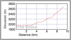
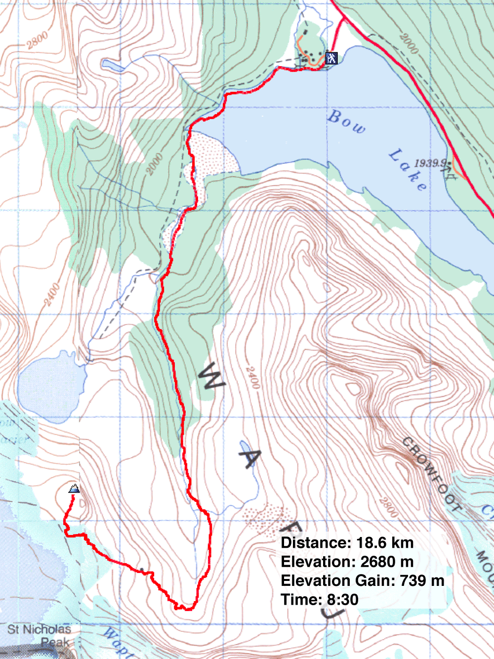
Distance: 18.6 km (11.6 mi)
Cumulative Elevation Gain: 750 m (2461 ft)
Many summits along the Icefields Parkway evince wonder with scenes of rocky peaks gripped in glacier ice, and The Onion is no exception. The view of nearby Wapta Icefield is spectacular.
Beginning at Num-Ti-Jah Lodge, a trail covers most of the distance with the rest filled in with easy scrambling and a walk up the gentle, broad summit. Maximum satisfaction is guaranteed when summited in good weather on a clear day. And that's what Dinah and I had.
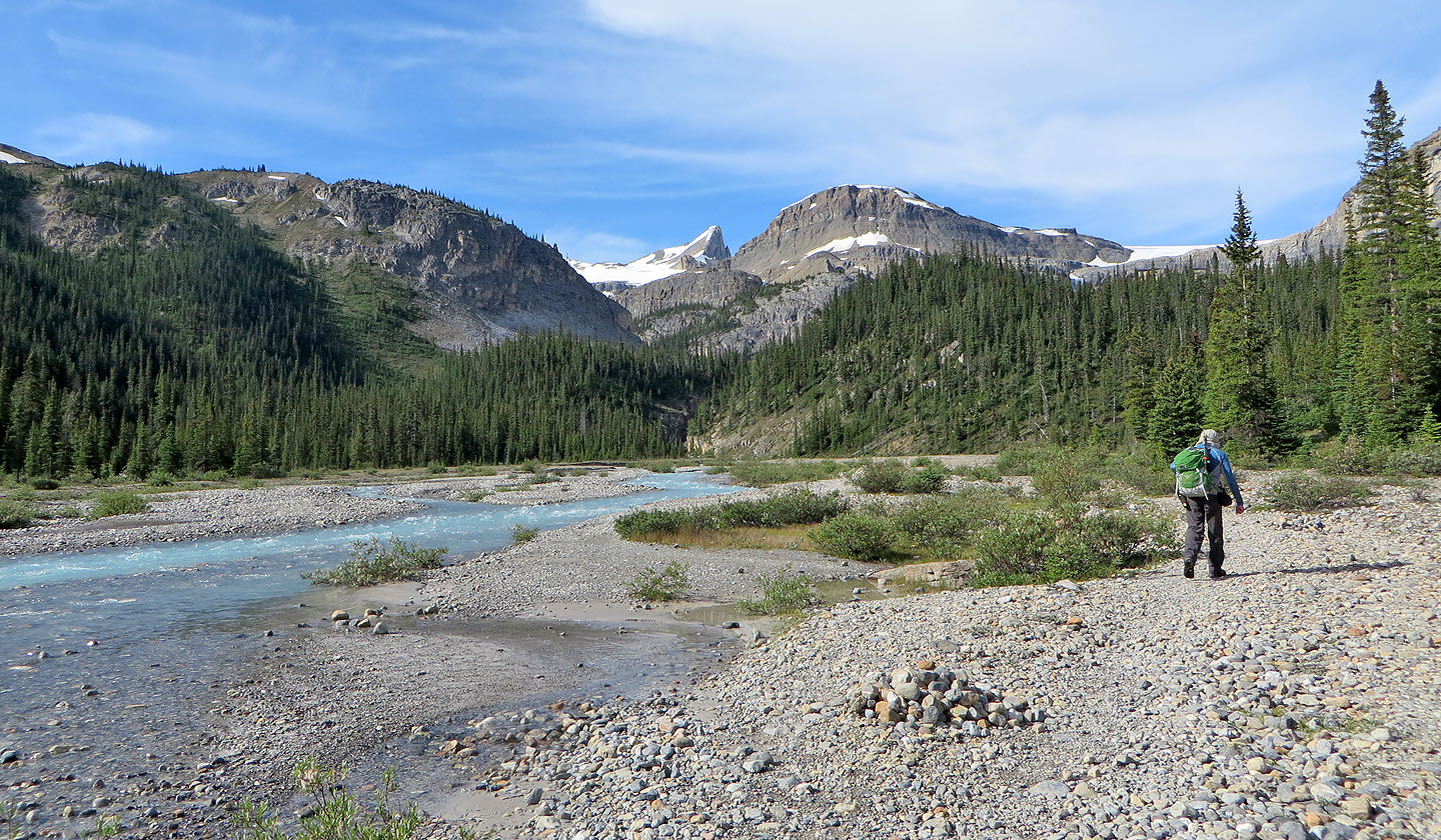
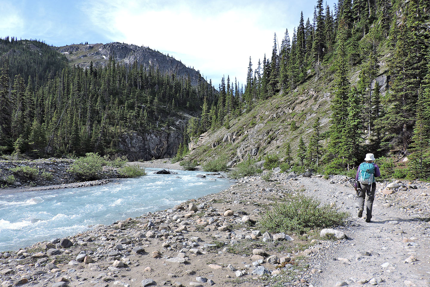
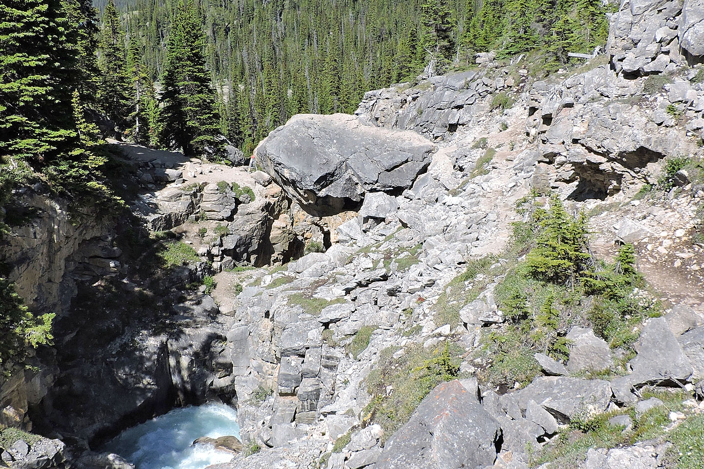
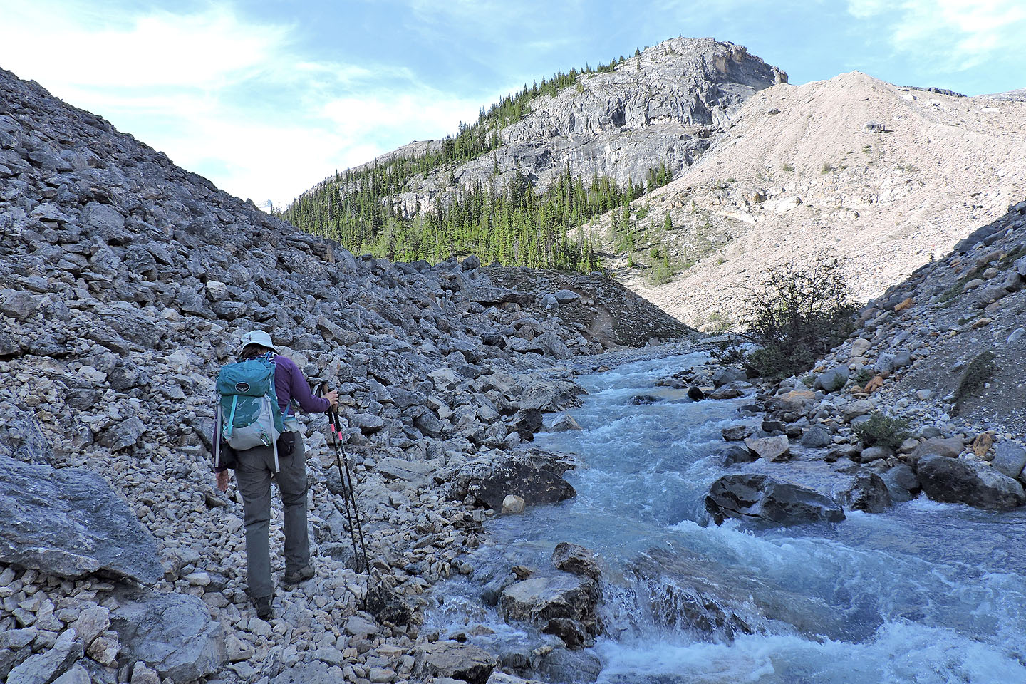
We followed the broad trail around the north end of Bow Lake and then alongside a creek, crossing gravel flats and ducking in and out of bits of forest. Where the river gushes out of a gorge, the trail climbs stairs to reach a point that separates casual tourists from serious climbers: tourists continue ahead to view Bow Glacier Falls, while climbers turn left and cross the gorge using a huge chockstone.
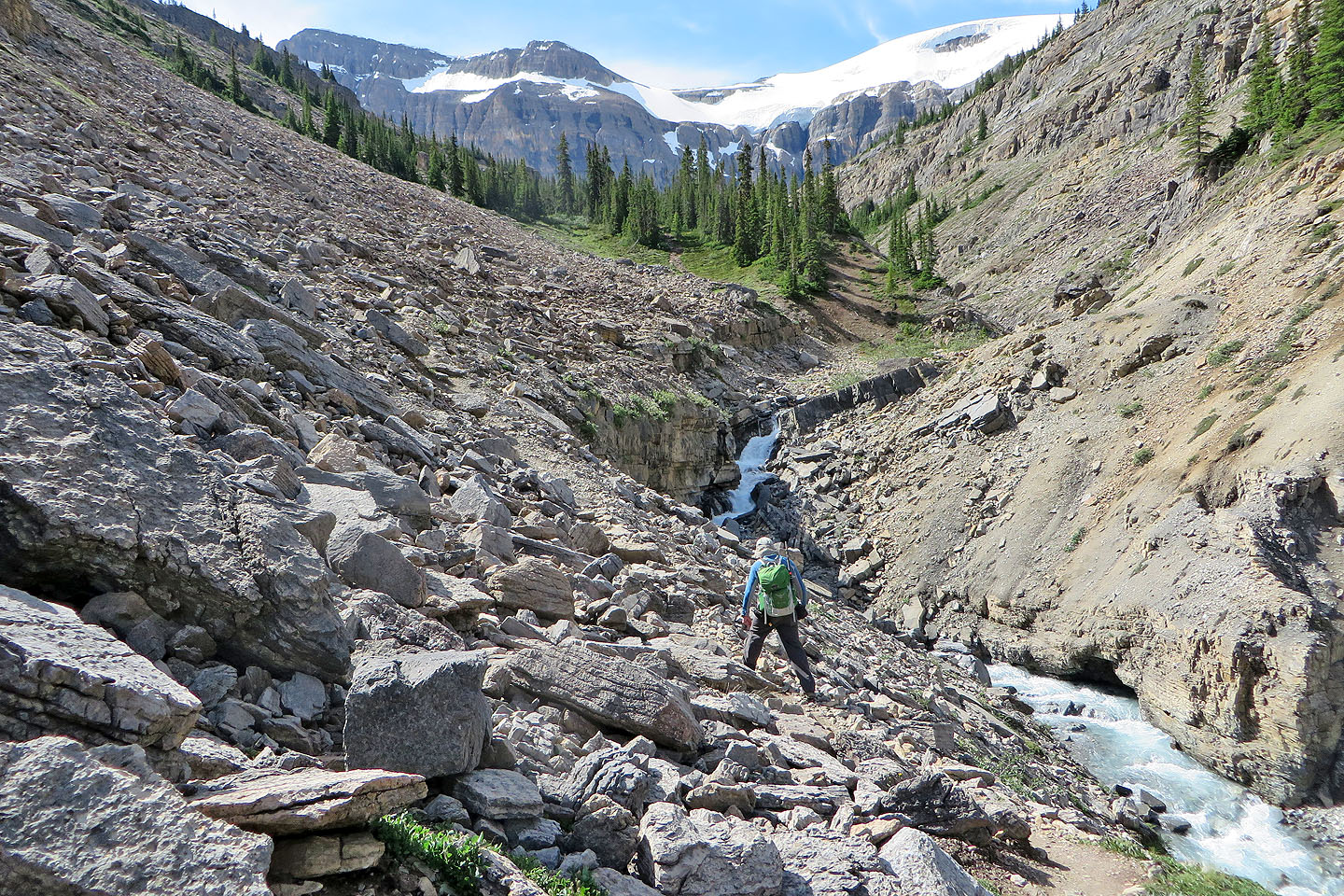
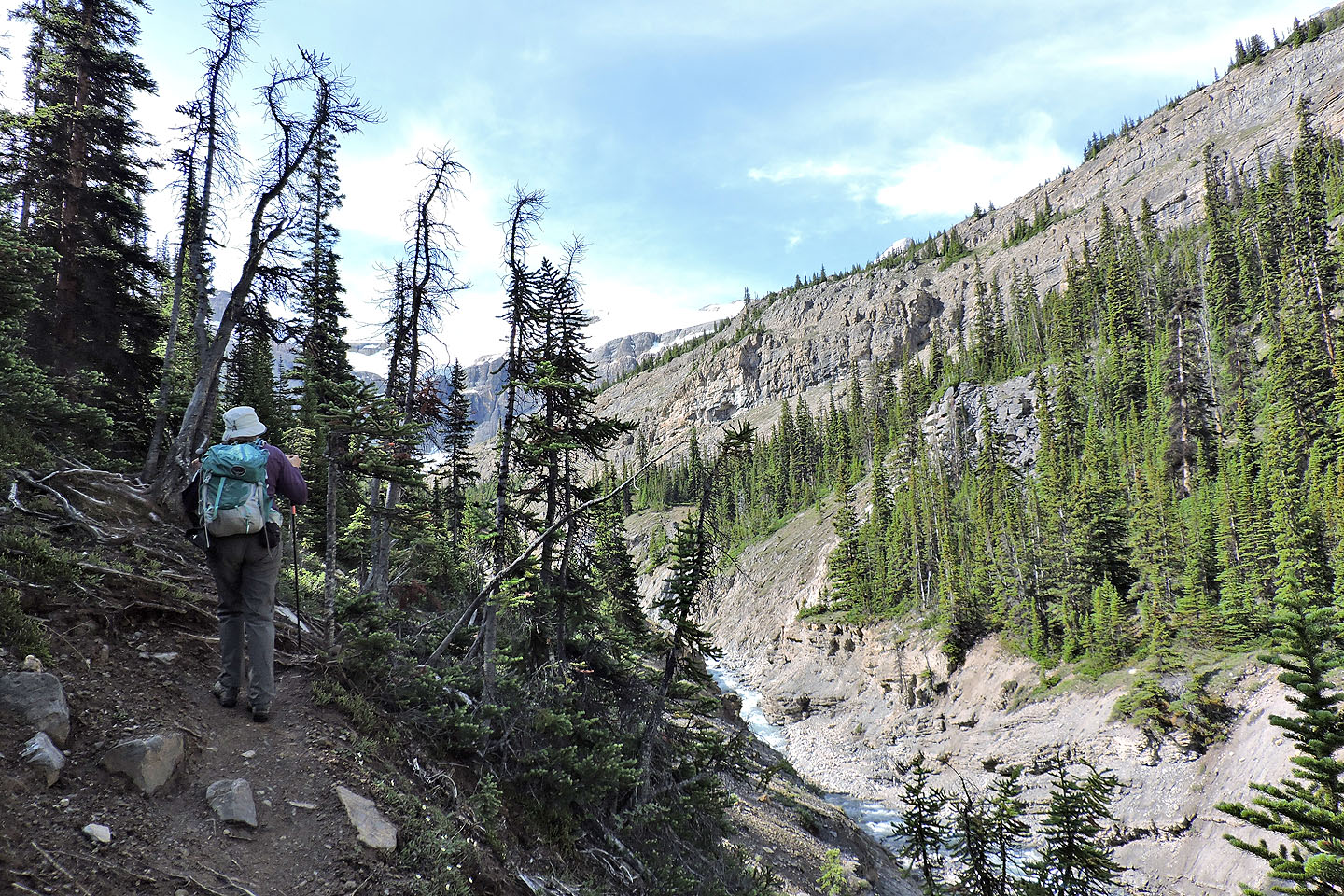
Normally it helps to have long legs to scramble up the high chockstone, but a stepladder placed at its foot eased the climb on our trip. Past the chockstone, the trail, now narrow and rugged, continues along the left bank, through forests and across boulder fields, sometimes climbing well above the creek. Just before the tree line, seven hikers – the Ramblers – caught up and passed us.
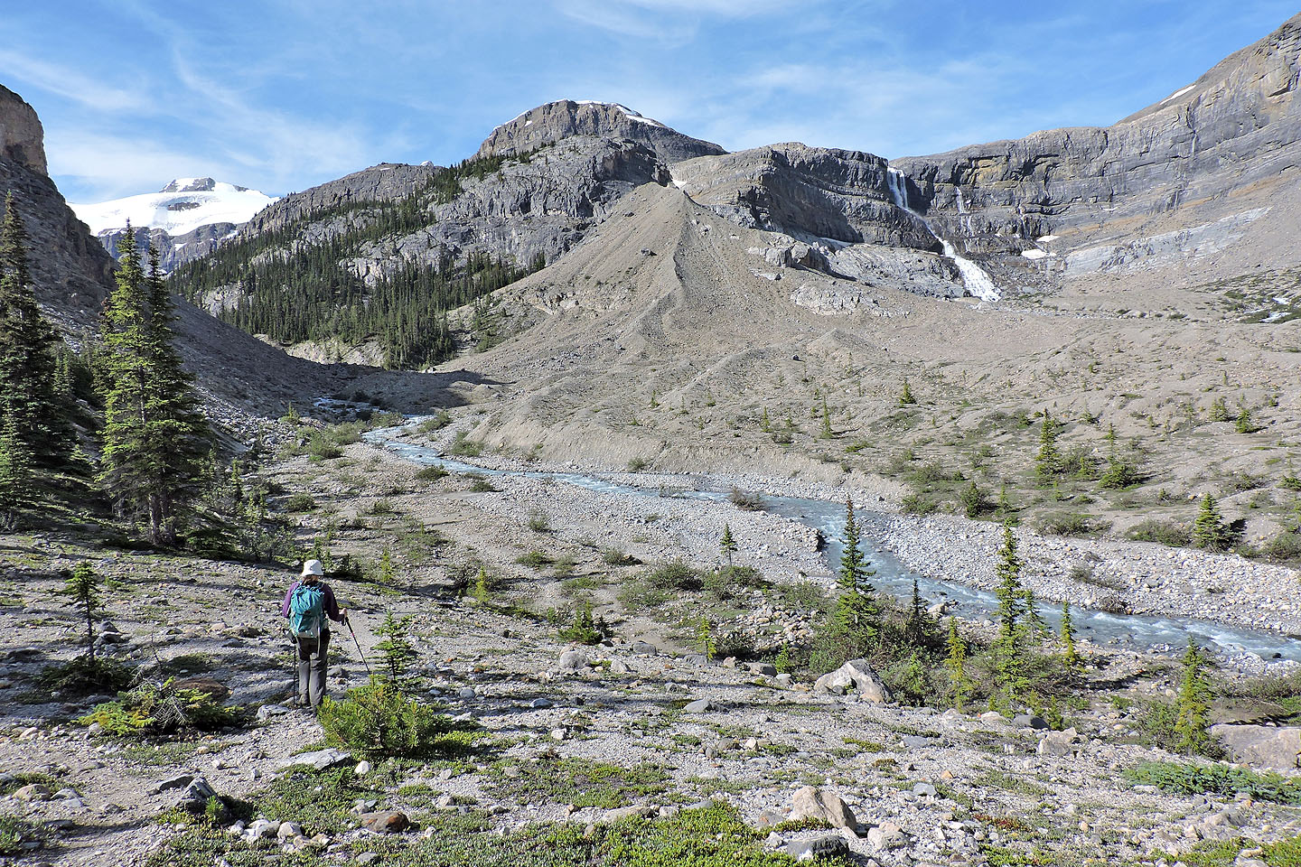
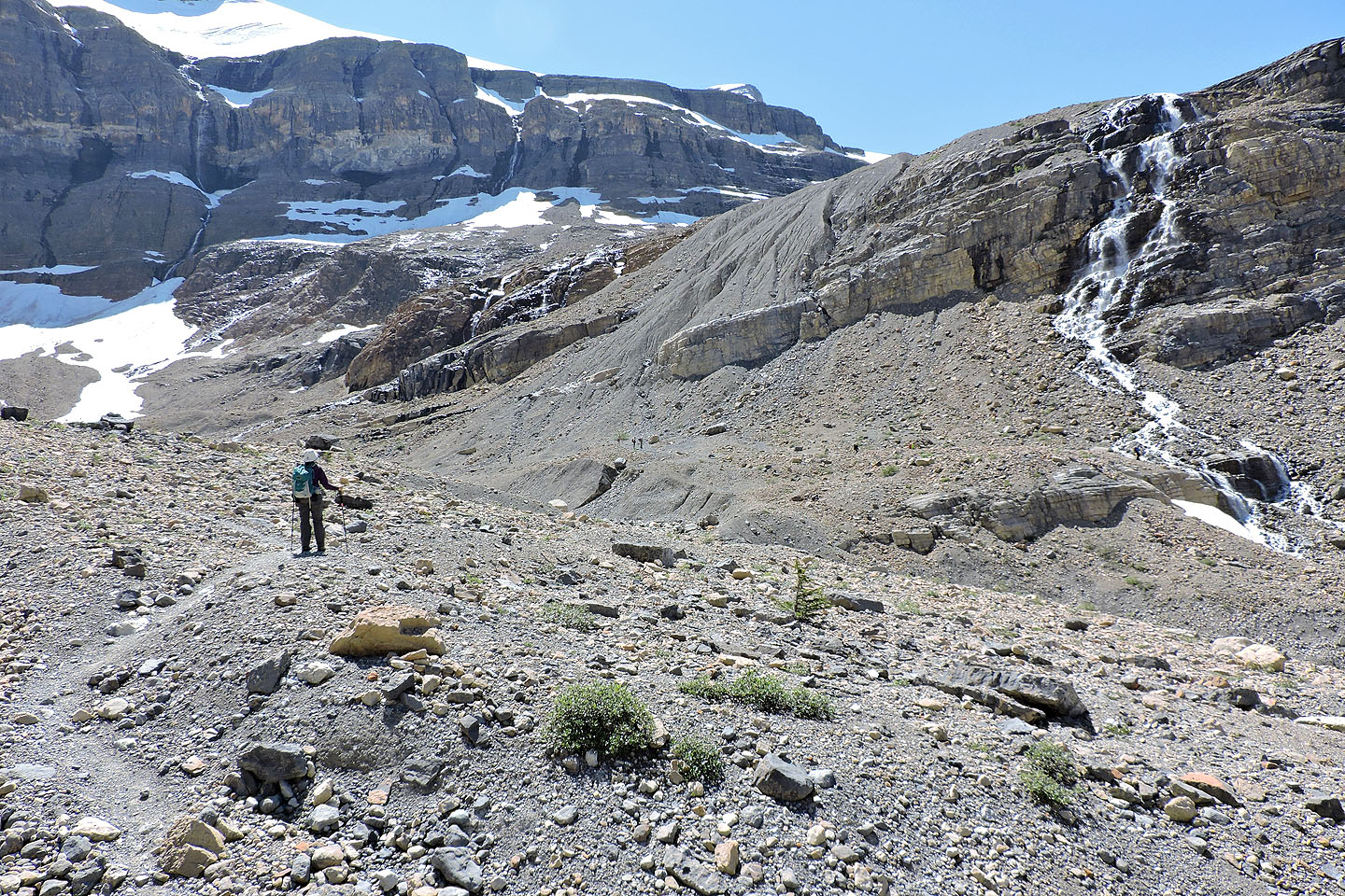
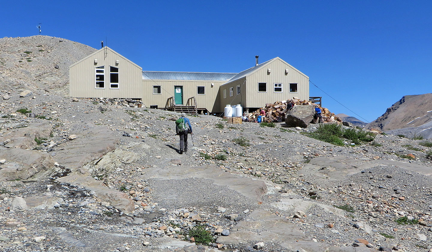
Above the tree line, the trail crosses a rushing side stream and comes to the brink of a vast alpine basin. The trail drops down, crosses the basin, not to mention a few streams, and climbs a scree slope at the far end. Above the slope sits Bow Hut. There we caught up with the Ramblers. After a break, we fell into step, chatting with them along the way.
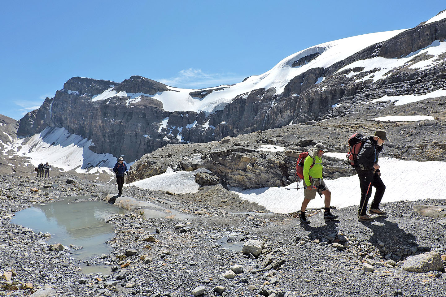
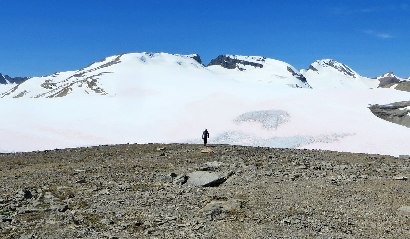
We followed the trail as it climbed above a short slope. The trail leveled off and soon disappeared, but by then the route was laid out before us. An awe-inspiring glacier stretched on our left, while high cliffs rose ahead. In between, fat ribs of pale rock swung left and avoided both the glacier and the cliffs. After hiking and scrambling up the ribs we came to a gentle scree slope leading to the summit of The Onion.
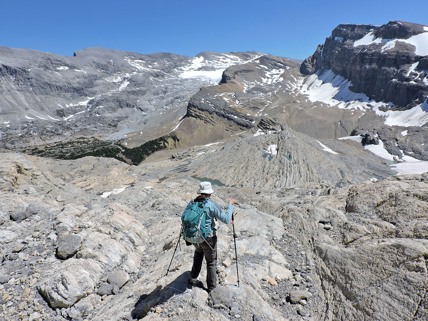
The sprawling glacier on our left proved irresistible. We dropped our packs at the summit cairn and walked down the scree slope to better see the Wapta Icefield. After surveying the breathtaking views, we made our way back to the summit to relax. Eventually we started back down. Below the hut, we parted ways. Dinah and I followed the trail back while the Ramblers took a side trip to Iceberg Lake. We were tempted to join them but had to get back to Calgary. Perhaps we'll return to hike Iceberg Lake as a separate trip.
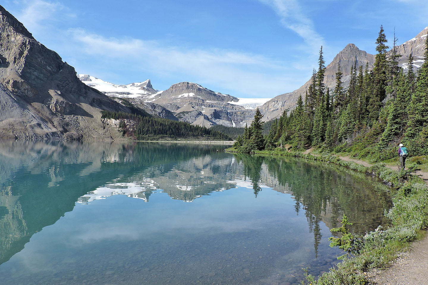
The Onion appears in the centre above Bow Lake
Crossing gravel flats
Coming to the stairs next to the gorge
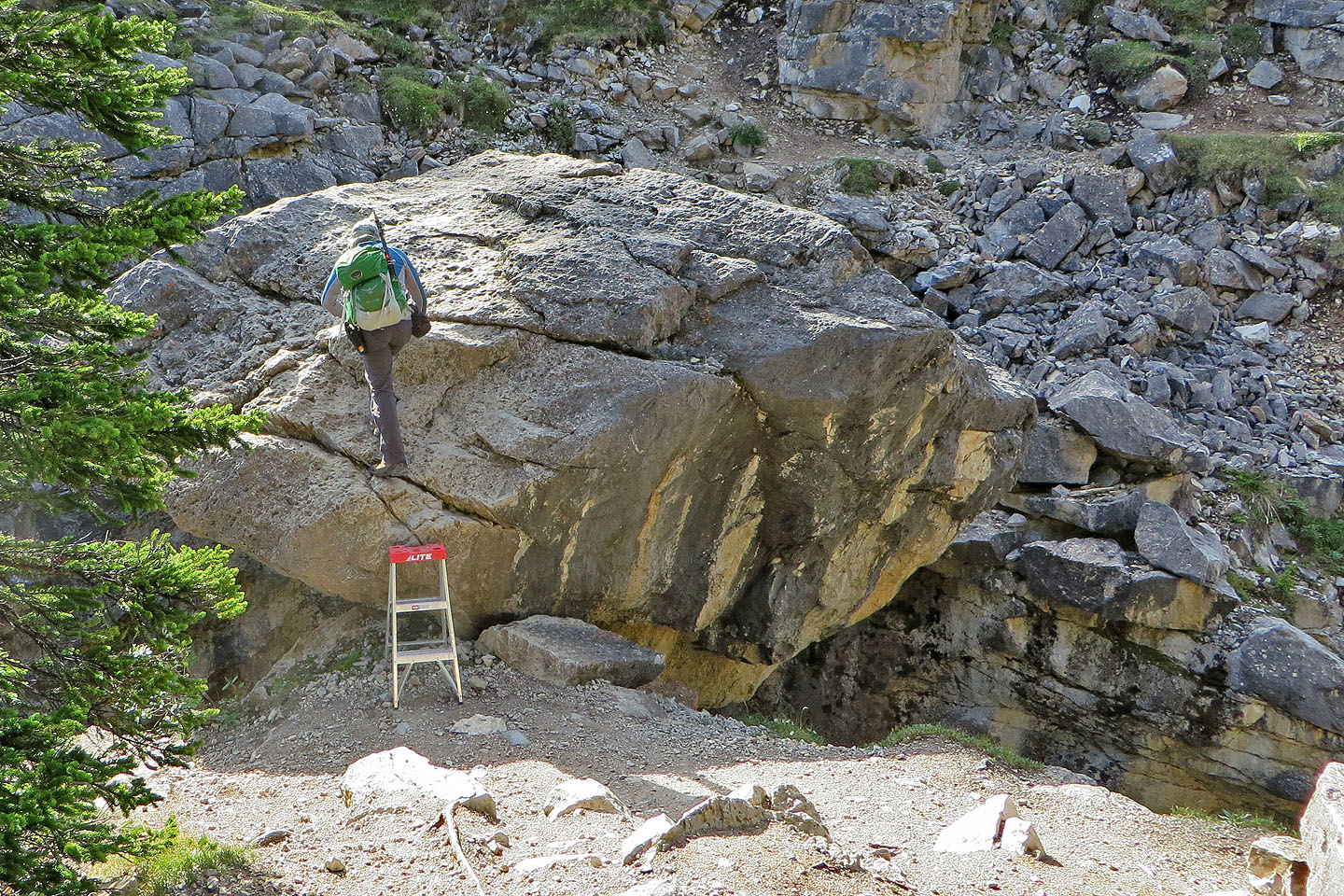
A stepladder made climbing the chockstone easy
Looking back at the chockstone
After the chockstone, the trail drops down to gravel flats. On the right is Bow Glacier Falls.
The trail briefly follows alongside the creek
Ahead is one of a couple boulder fields that has to be crossed
The trail climbs well above a gorge
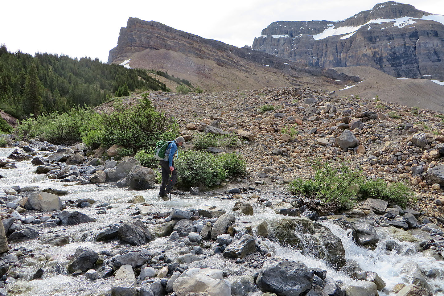
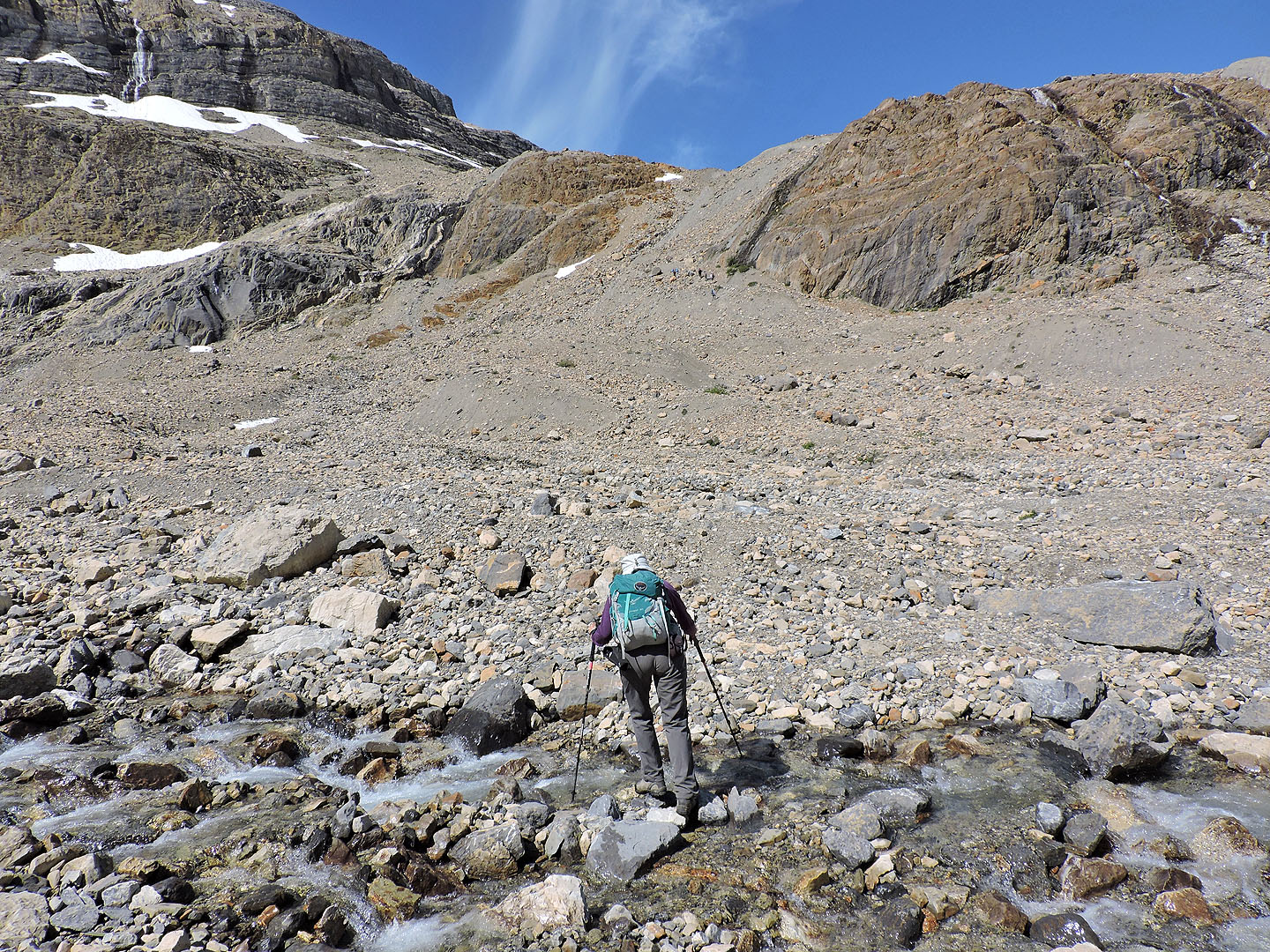
Crossing a side creek
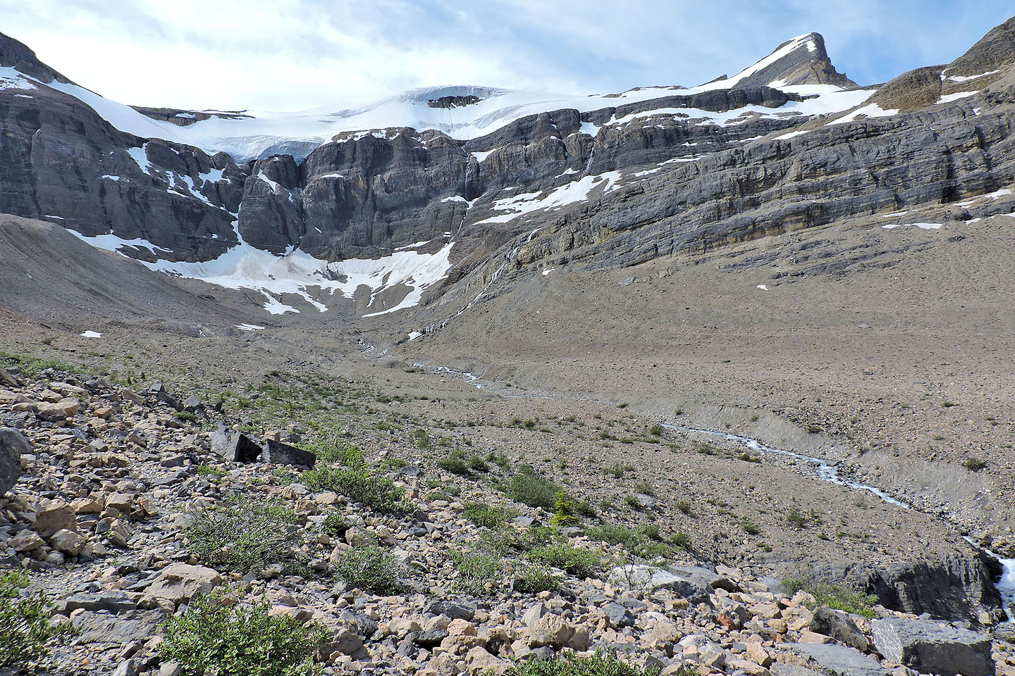
The trail drops down to a basin
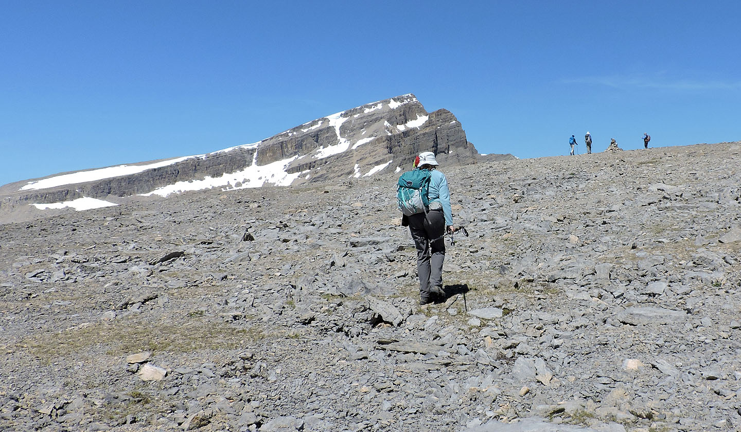
The trail goes up a hidden scree slope above Dinah
The ascent slope finally came into view
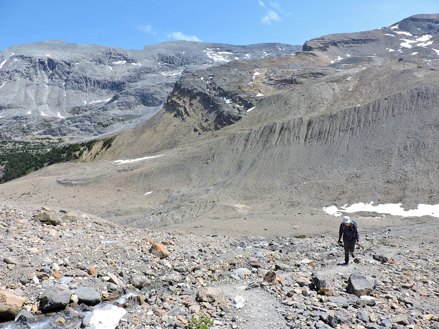
Looking back at the basin
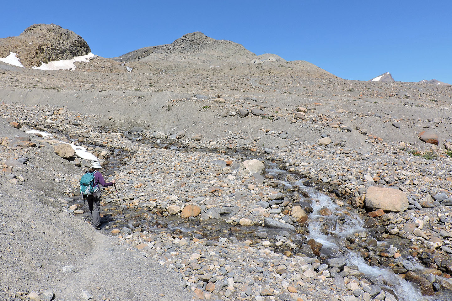
When the trail leveled off we could see Bow Hut (skyline right)
From Bow Hut the trail goes left
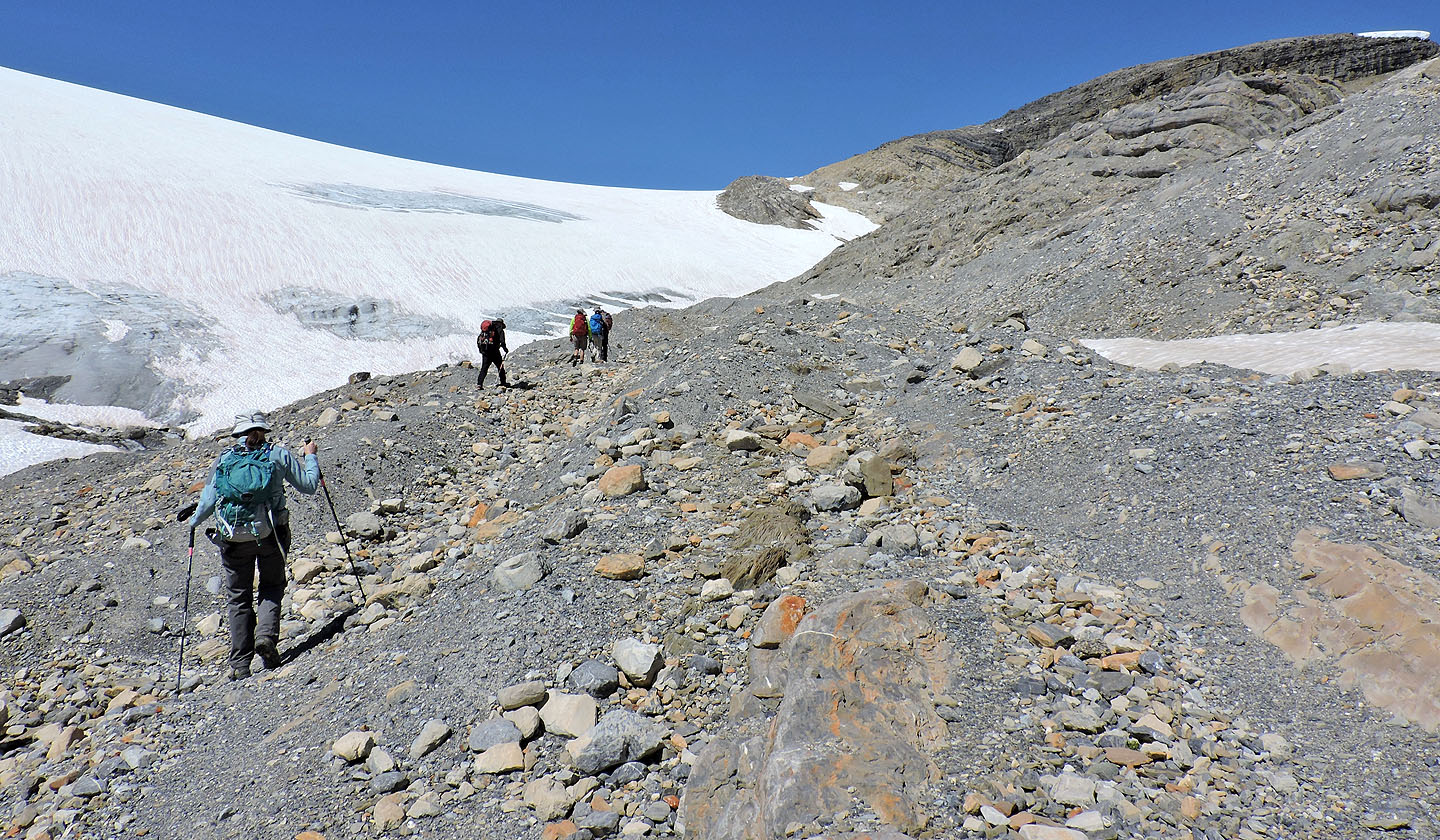
Continuing up the trail with the Ramblers, we headed to the slope in the centre
Still following a faint trail
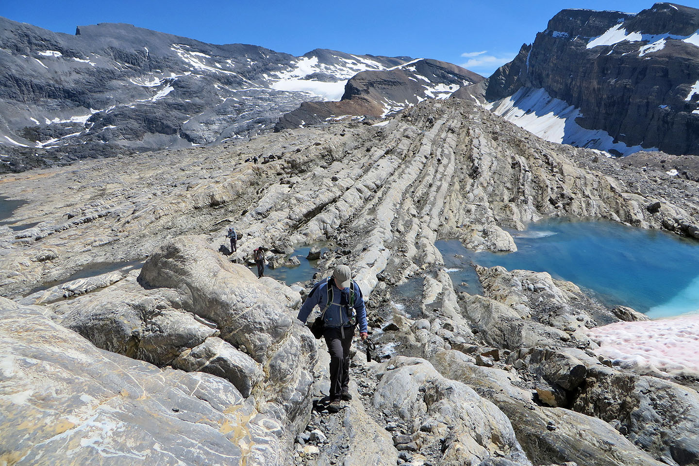
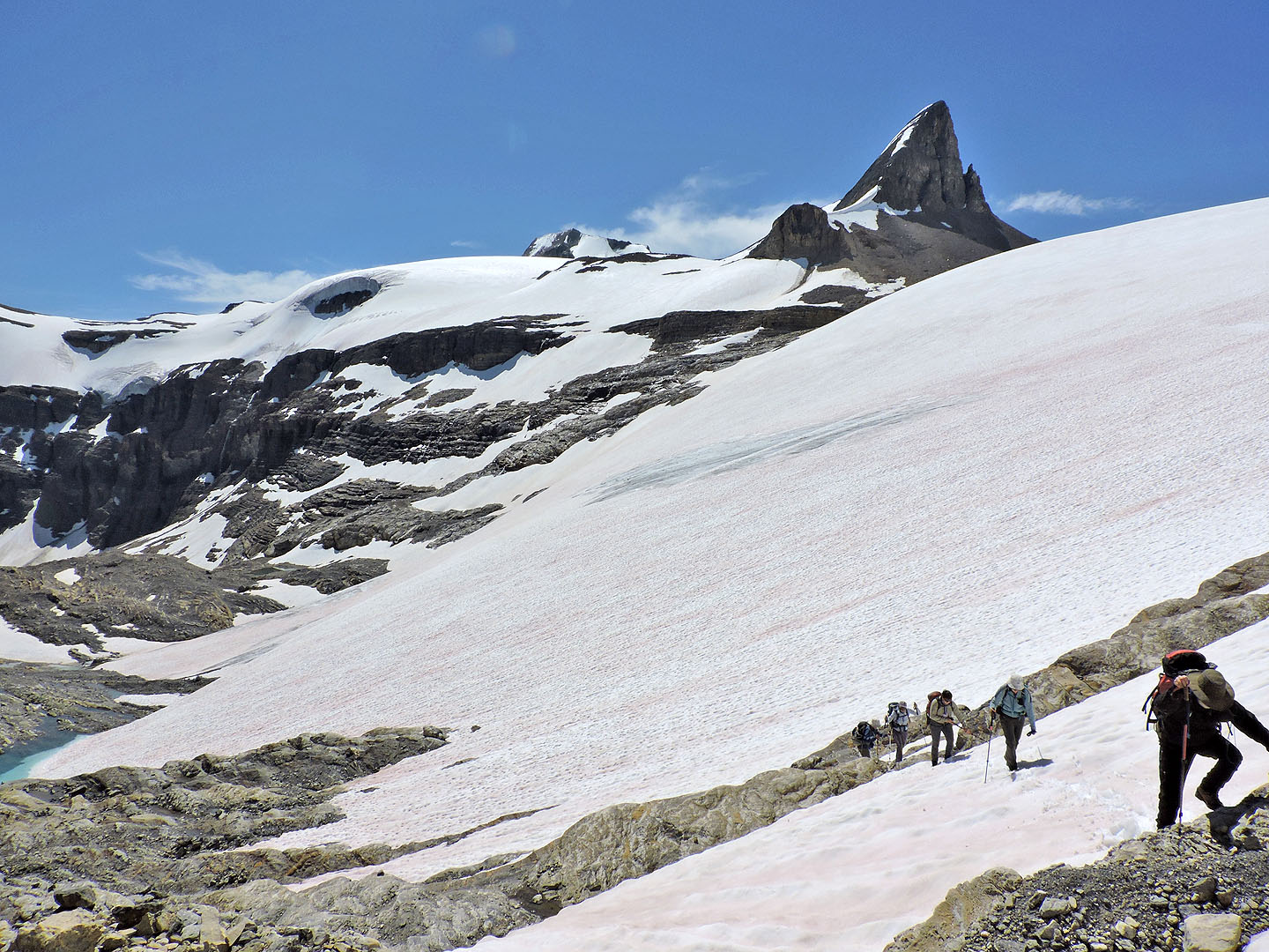
From here we climbed a series of rock ribs
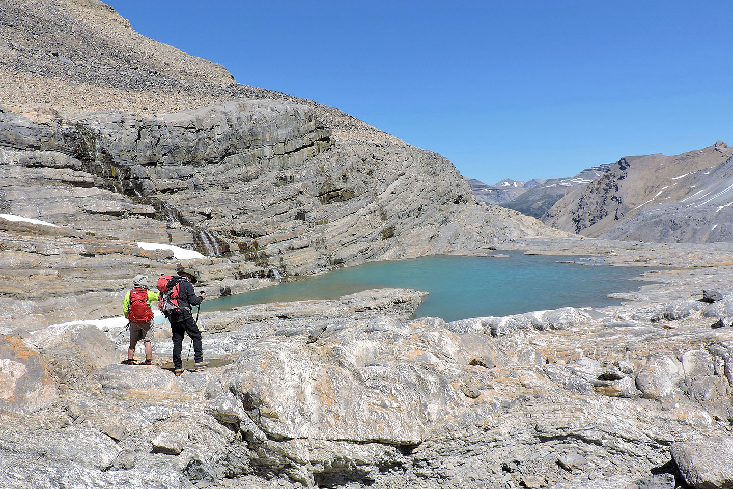
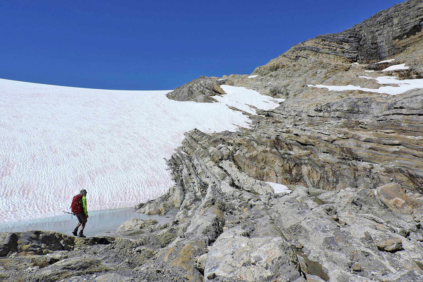
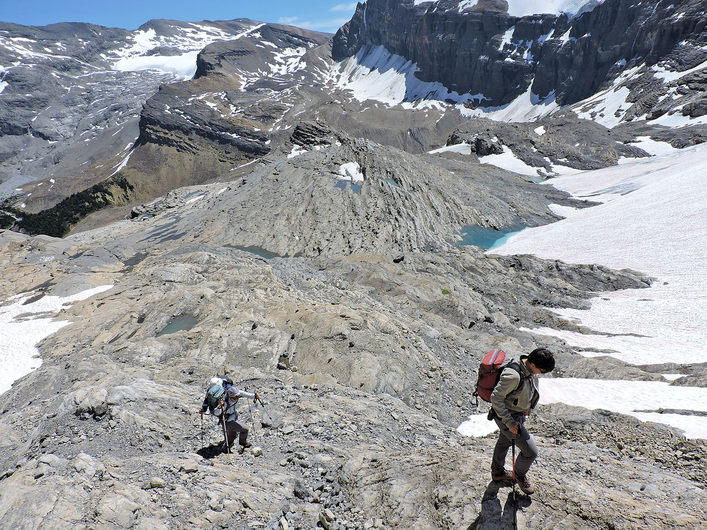
On the right is a tarn
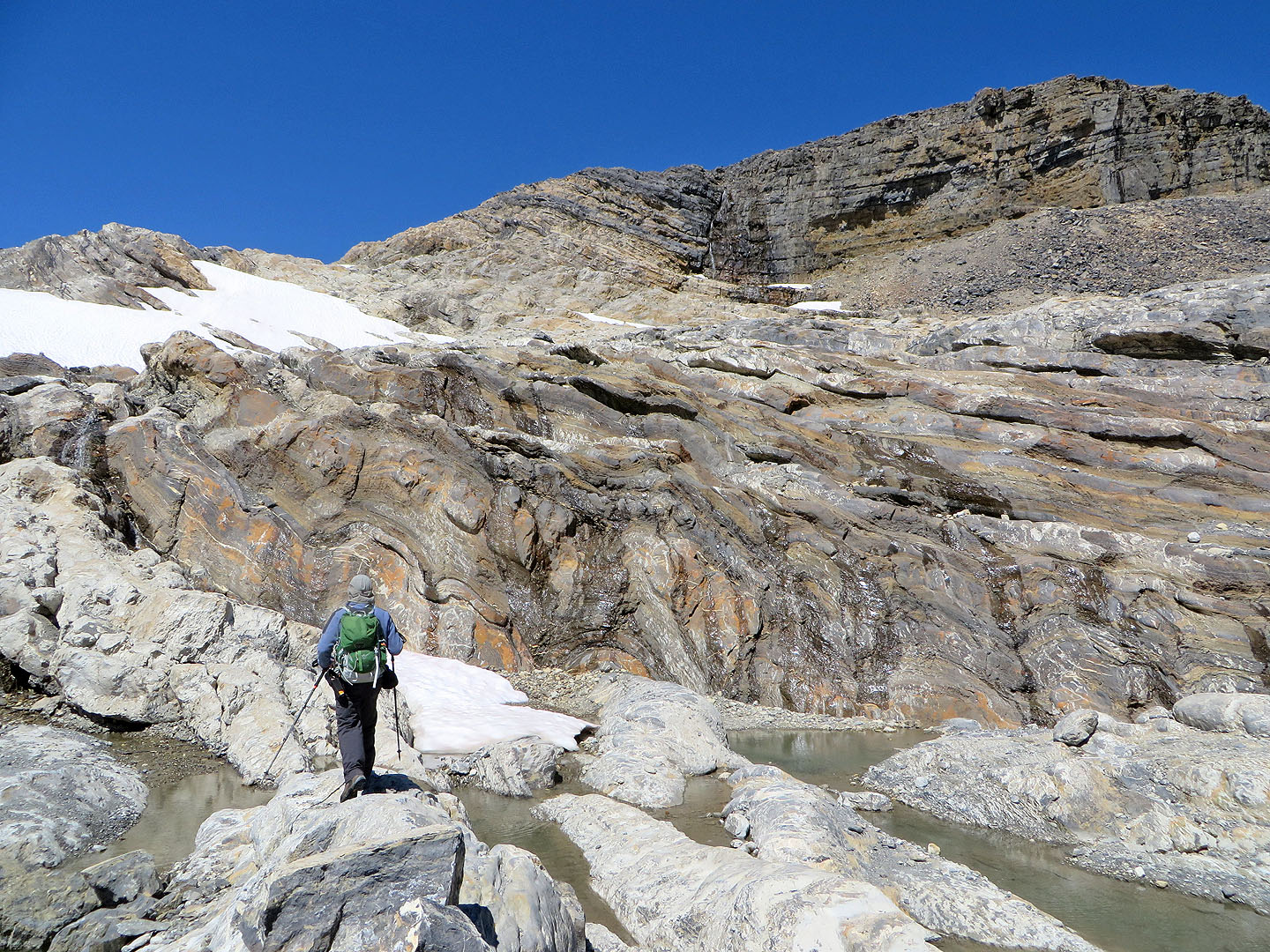
The rock here is fascinating
Looking back
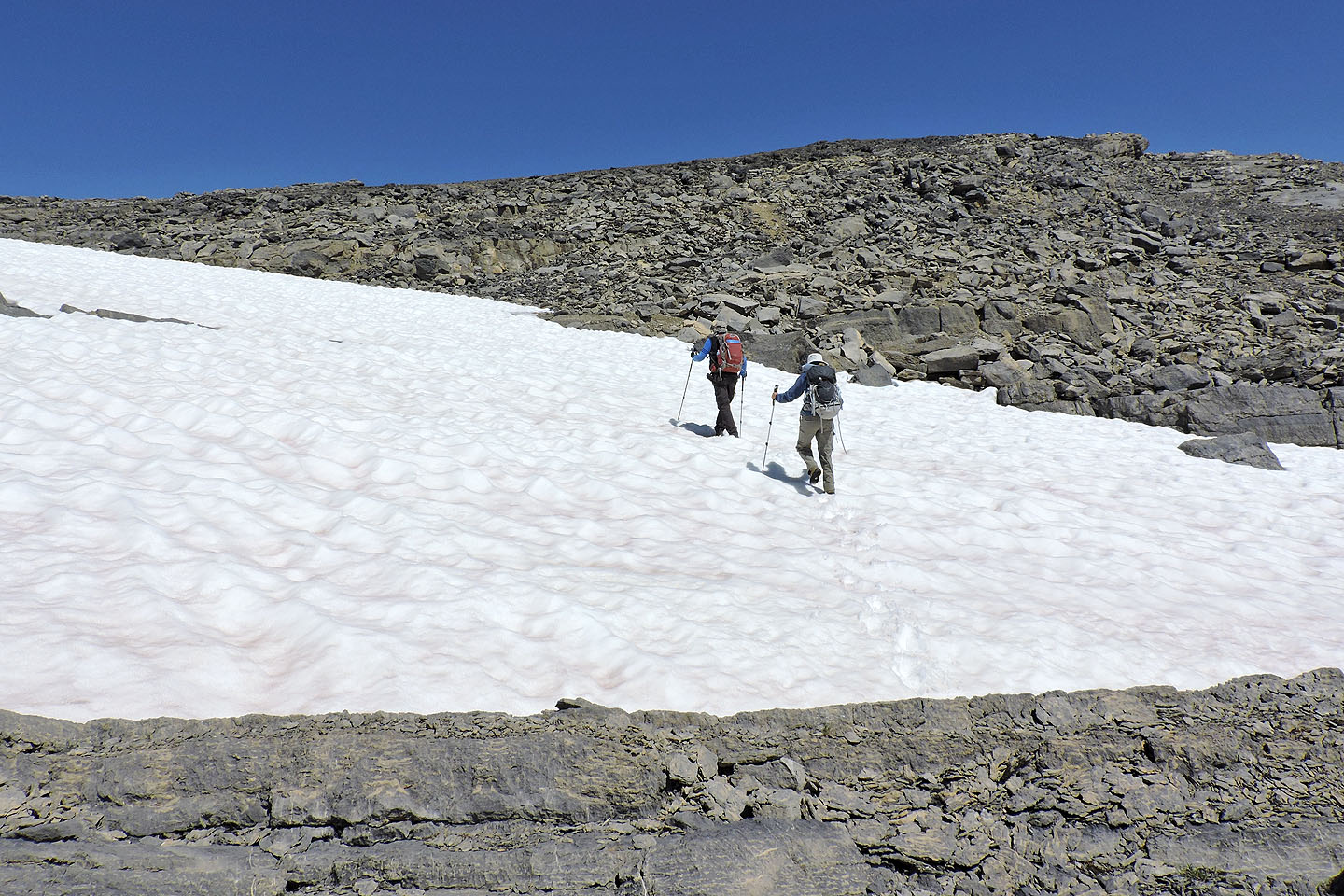
Higher up, we crossed snow
Looking back
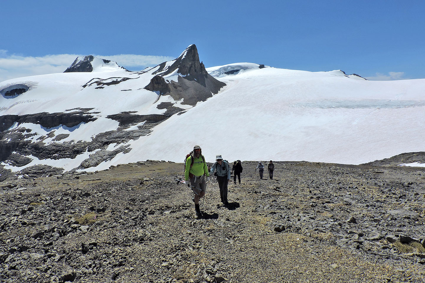
On our way to the summit
Behind, St. Nicholas Peak pierces the blue sky while Mount Gordon appears left (mouse over for a close-up)
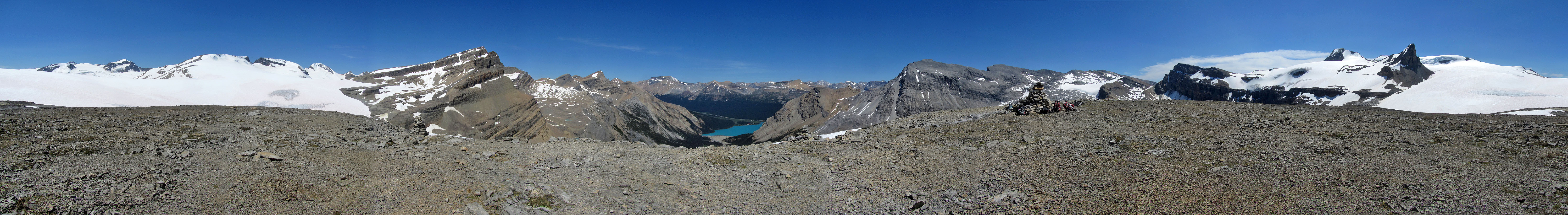
Arriving at the summit
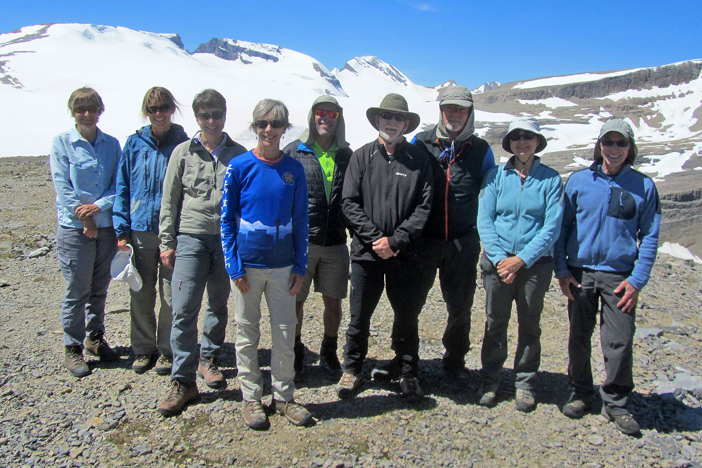
Dinah and I with the Ramblers on the summit
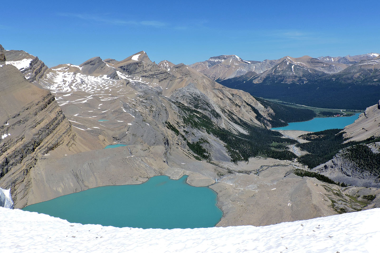
Iceberg Lake and Bow Lake
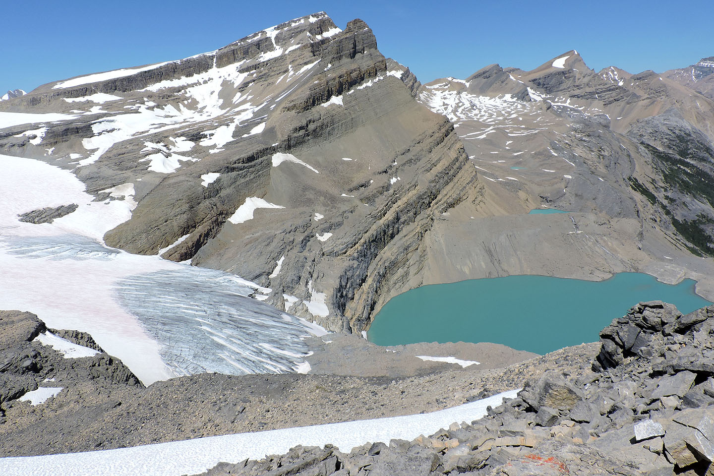
Above Iceberg Lake is Portal Peak with Mount Thompson behind it
Wapta Icefields fills the view west
Heading back down. Crowfoot Mountain follows the skyline.
82 N/10 Blaeberry, 82 N/9 Hector Lake