bobspirko.ca | Home | Canada Trips | US Trips | Hiking | Snowshoeing | MAP | About
Twin Peaks, South Peak
The highest points on Cabin Ridge
Oldman River Area, Alberta
October 27, 2007
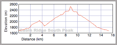
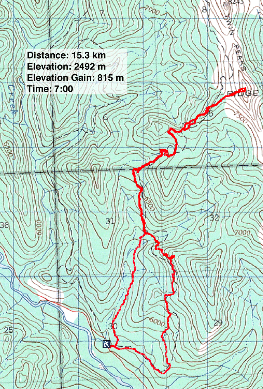
Distance: 15.3 km (9.5 mi)
Cumulative Elevation Gain: 1035 m (3396 ft)
After seeing Cabin Ridge from Sugarloaf Mountain I was intrigued with climbing it. Researching it, I learned there was a trail originally built during seismic exploration in the area. It ascends the ridge and runs below Twin Peaks before swinging west to follow Honeymoon Creek Valley to form a 21 km loop. To reach the trailhead, we had to drive 13.6 km from the junction of Oldman River Road and the Forestry Trunk Road. I had little information other than maps that indicated a route, but the views were said to be "spectacular."
We had no trouble finding the trailhead, and we started hiking up an exploration road. A few minutes later, we passed a junction with a gigantic cairn: four boulders stacked a few metres high. But I didn't know where the side road went, and it wasn't on any of my maps.
We continued up the logging road largely through open, logged slopes. When we lost the road, I used my GPS to mark a waypoint where we could pick it up again.
To call it a "trail" would be misleading. The route was no more than a wide swath cut in the trees. We followed it easily in the trees but lost it on the open slopes. We stopped often to consult the map to stay on track.
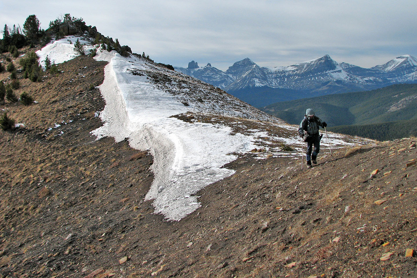
At one point, the trail disappeared when we reached steep rock slabs. After dropping down and bushwhacking, we got back on track. By now I had lost faith in the "trail." In two hours, our long, meandering, crude route covered 4.5 km, yet we were only two kilometres from our car and lost 200 m of elevation! Fortunately things improved after that, and we had no difficulties in routefinding.
We hadn't seen any views for hours, so when we reached a viewpoint, we were glad to get a visual bearing. We could see the North Peak, but the closer South Peak was hidden.
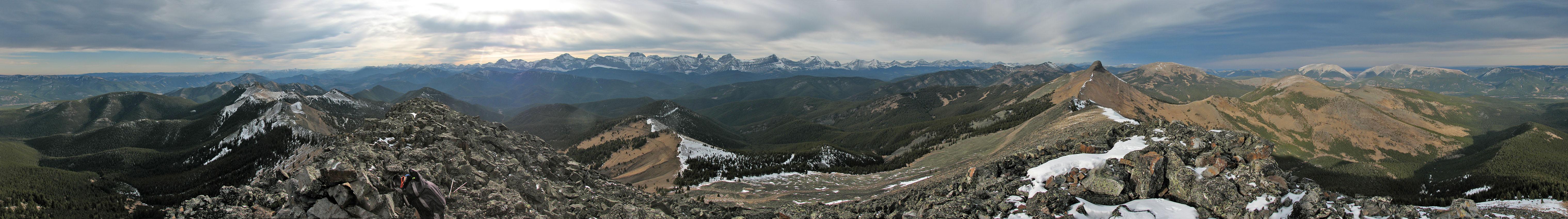
We hiked up a ridge that ran at right angles to Cabin Ridge and led to the South Peak. Eventually we broke free of the trees and took in a majestic view of Cabin Ridge. The grade steepened as we continued climbing, and we easily scrambled up the last bit to arrive on the summit.
It was too cold and windy to stay long. After taking photos we dropped down to get out of the wind.
It would have been nice to continue to the North Peak and thus do the Twin Peaks in one day, but I was recovering from a cold and had run out of energy. Besides, we didn't have enough daylight to lose 120 m elevation and cover the 1.4 km that separated the two peaks. Also there was the matter of getting back to the car. I didn't want to retrace the first tortuous 4.5 km we did. I decided to try following a drainage that led almost directly to the car, even if it meant bushwhacking the whole way.
We followed the trail back to where it almost meets the drainage. Leaving the seismic exploration trail, we headed to the drainage where we came across a road. As it turns out, this road followed the drainage! In fact, it was the road we bypassed at the start. From where we had left the seismic exploration trail, it was only 2.2 km back to the trailhead. Had we taken it at the start, I'm sure we would have saved about an hour and a half. We had followed the correct route in the morning, but this shortcut road had been built after the seismic exploration trail.
Using the more direct route to Twin Peaks, we returned a week later to bag the North Peak.
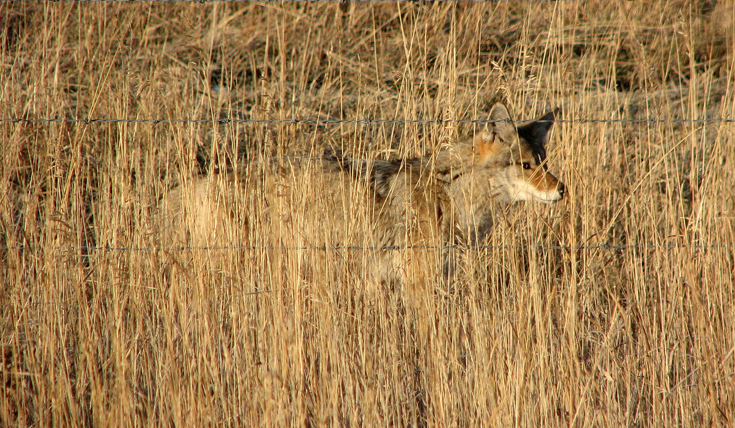
We spotted this coyote on the roadside
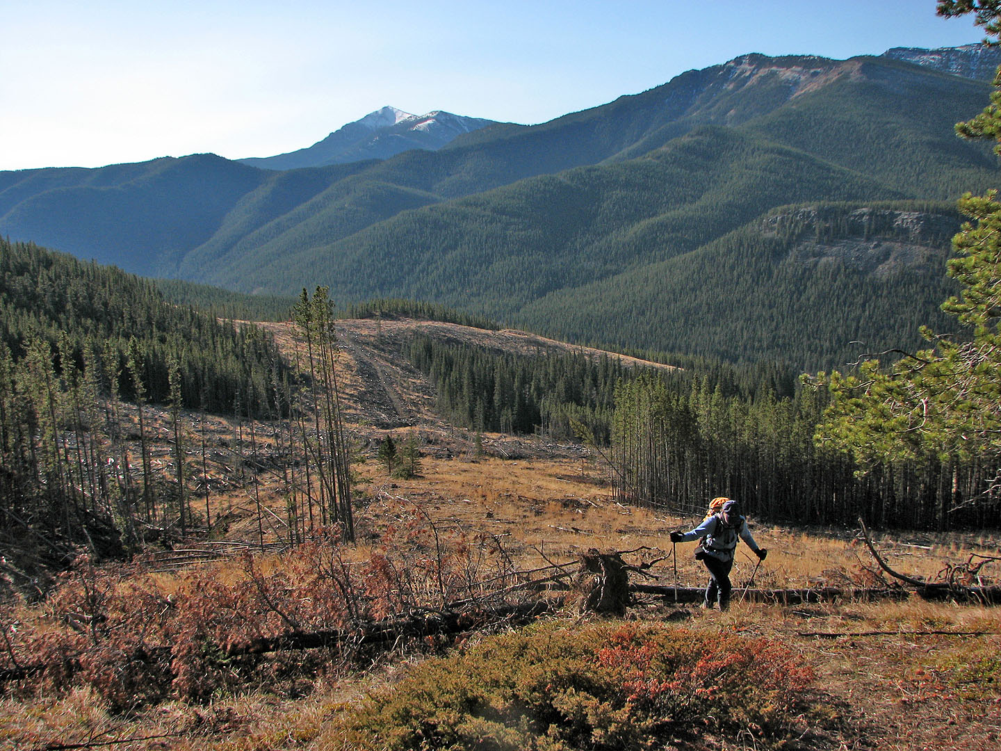
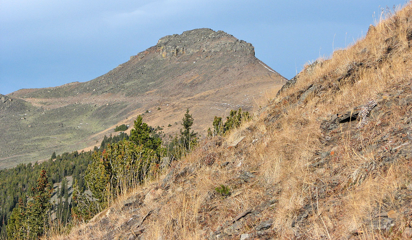
We lost the trail briefly here. Sugarloaf Lookout in the background.
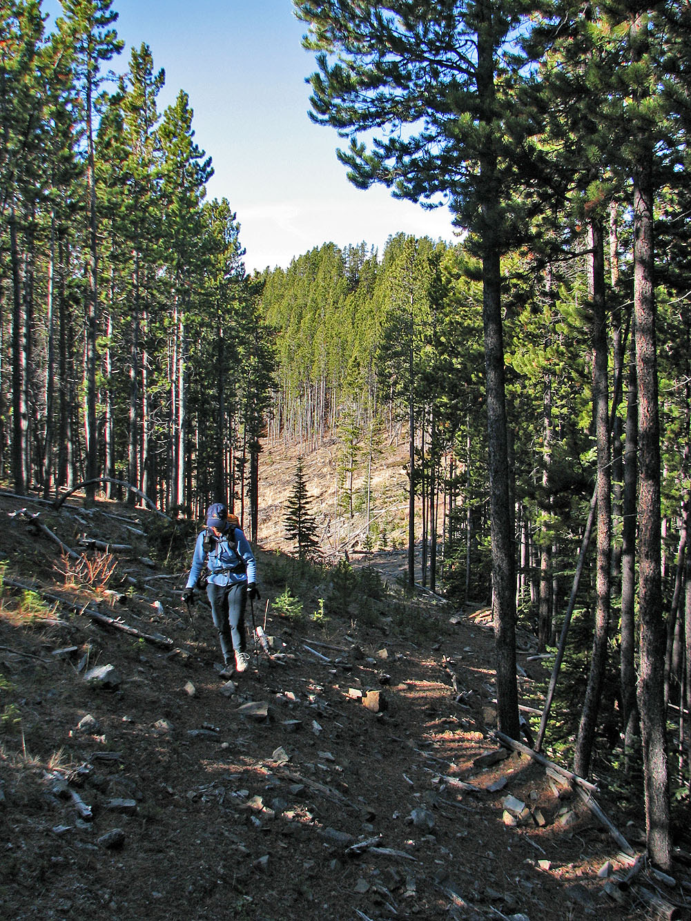
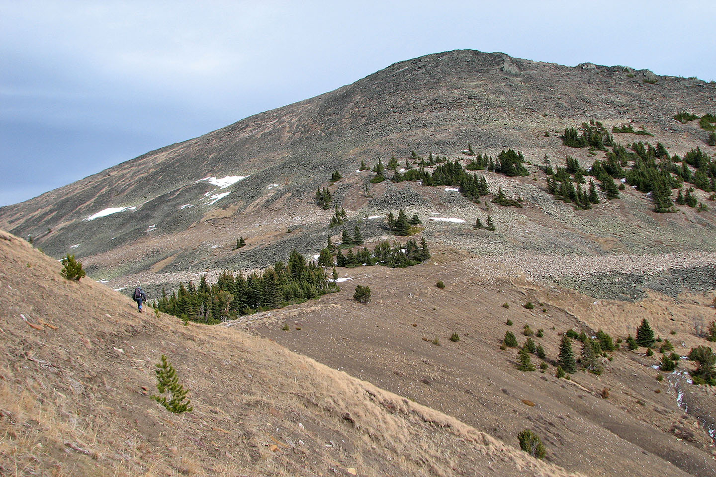
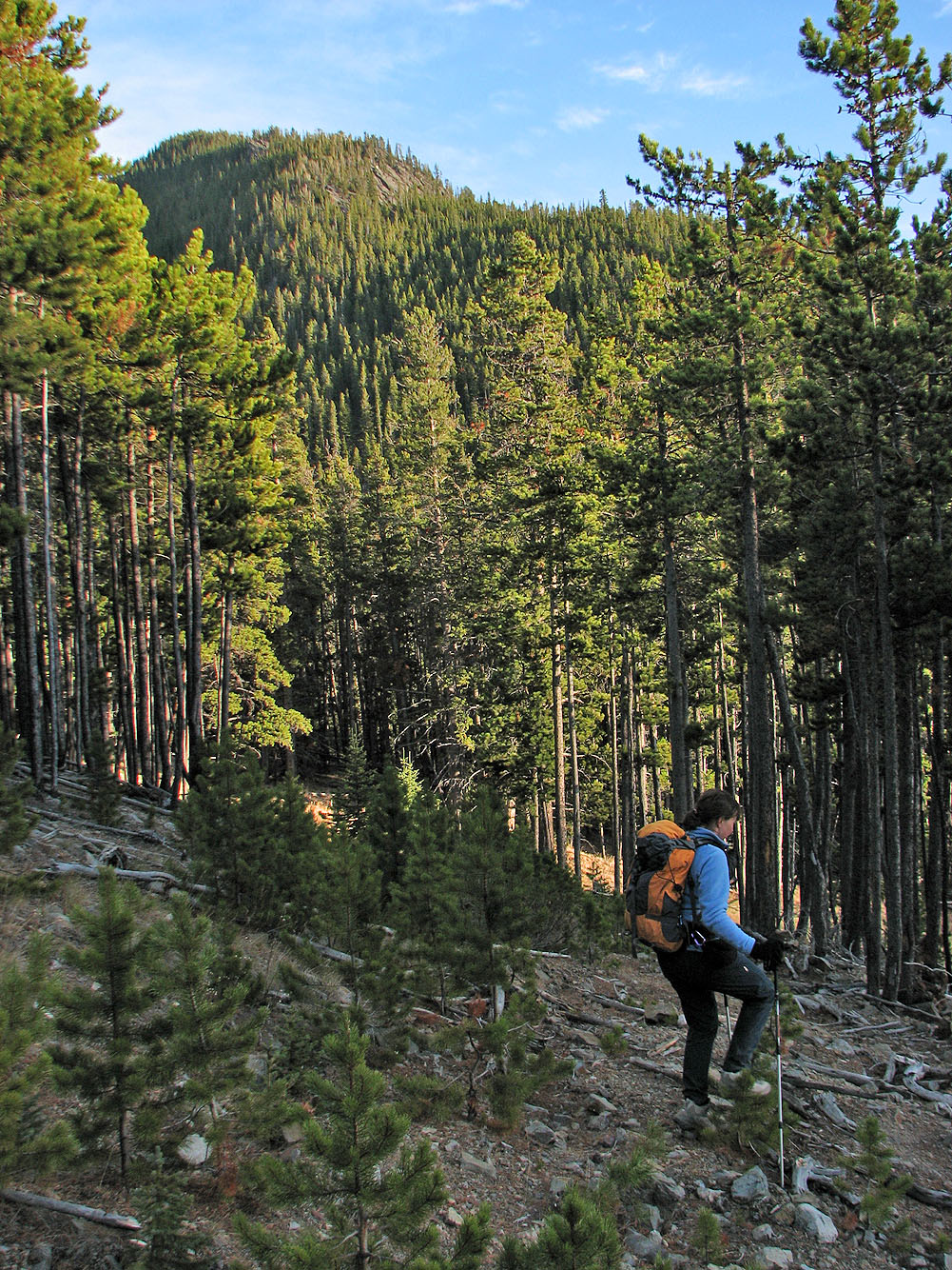
Back on the trail
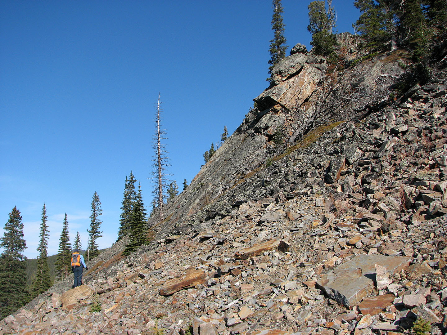
At these slabs, we mistakenly headed up the scree before realizing we had to descend to get back on the trail
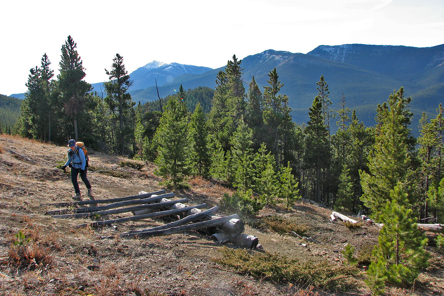
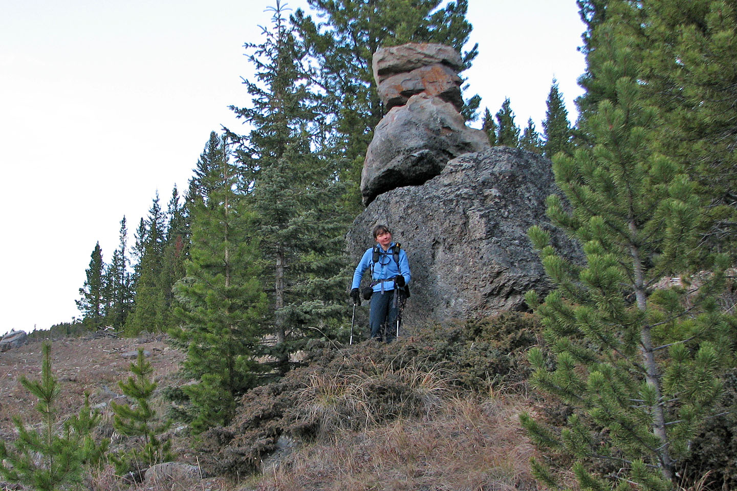
Back on the trail we found an artifact
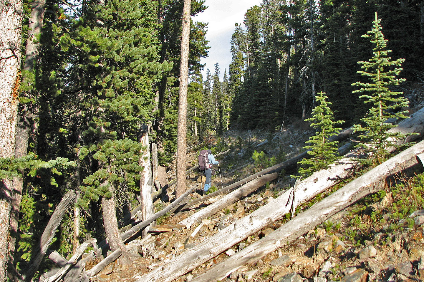
The trail is rough, but it's better than bushwhacking
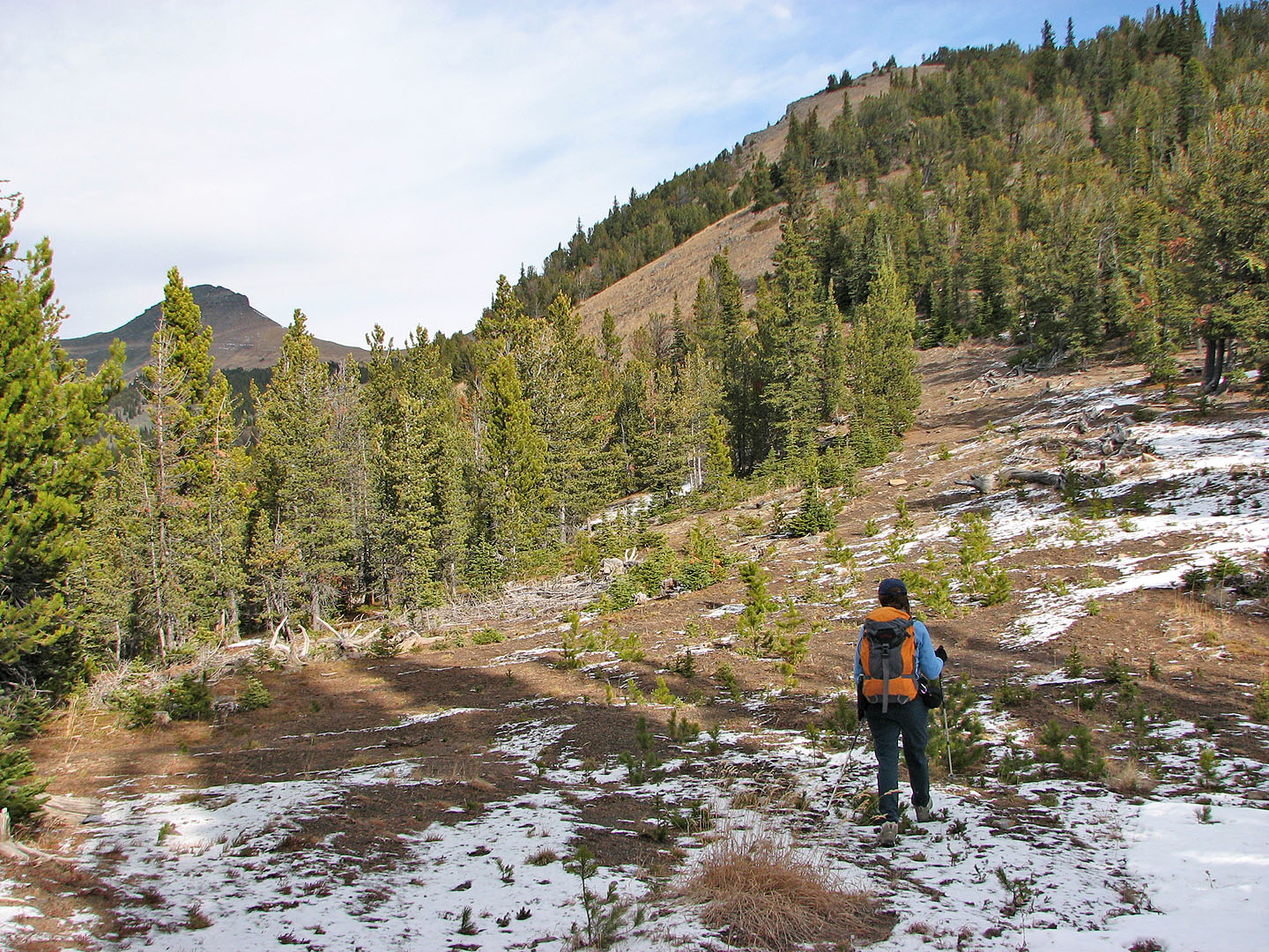
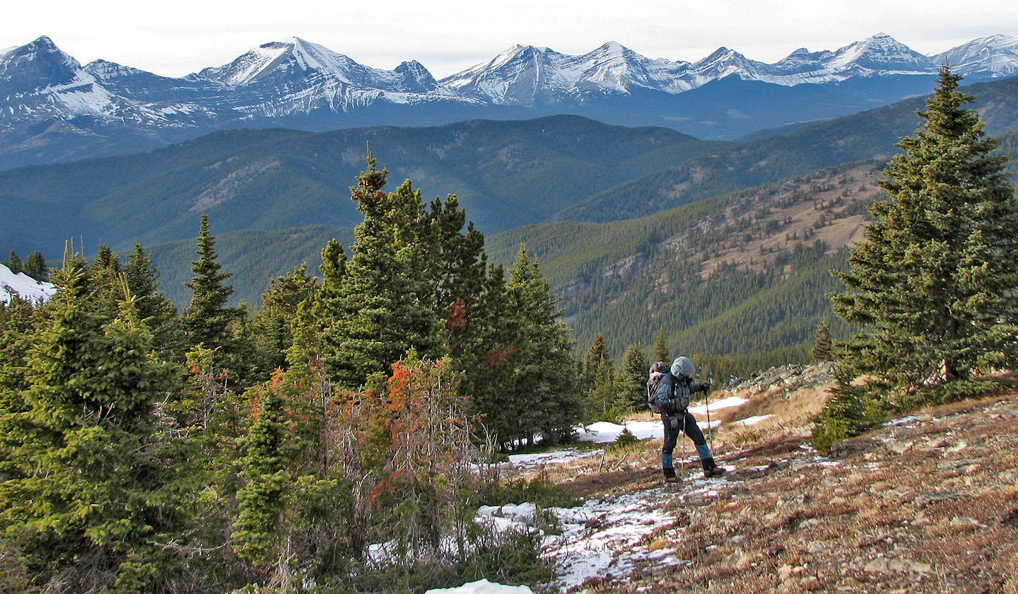
Our first view of one of the Twin Peaks
North Peak (mouse over for a close-up)
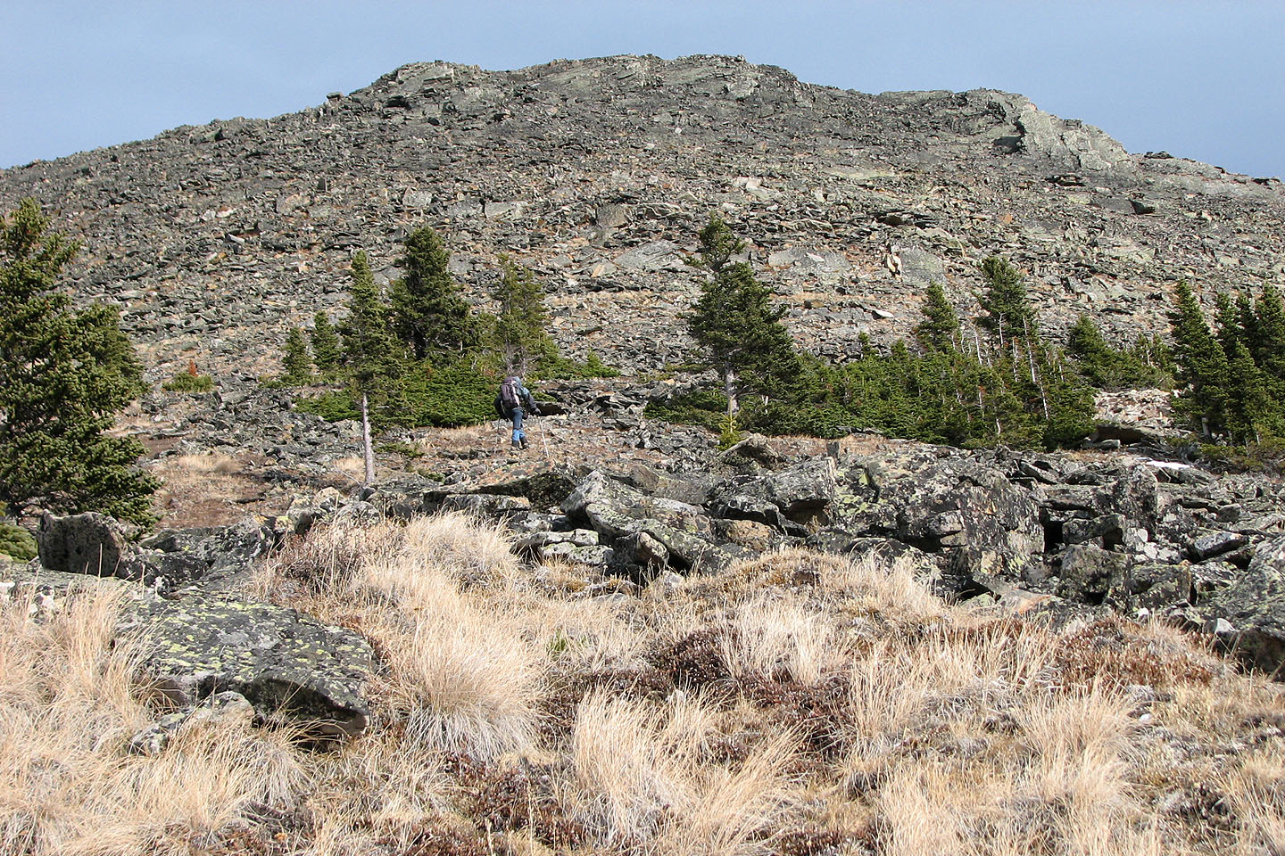
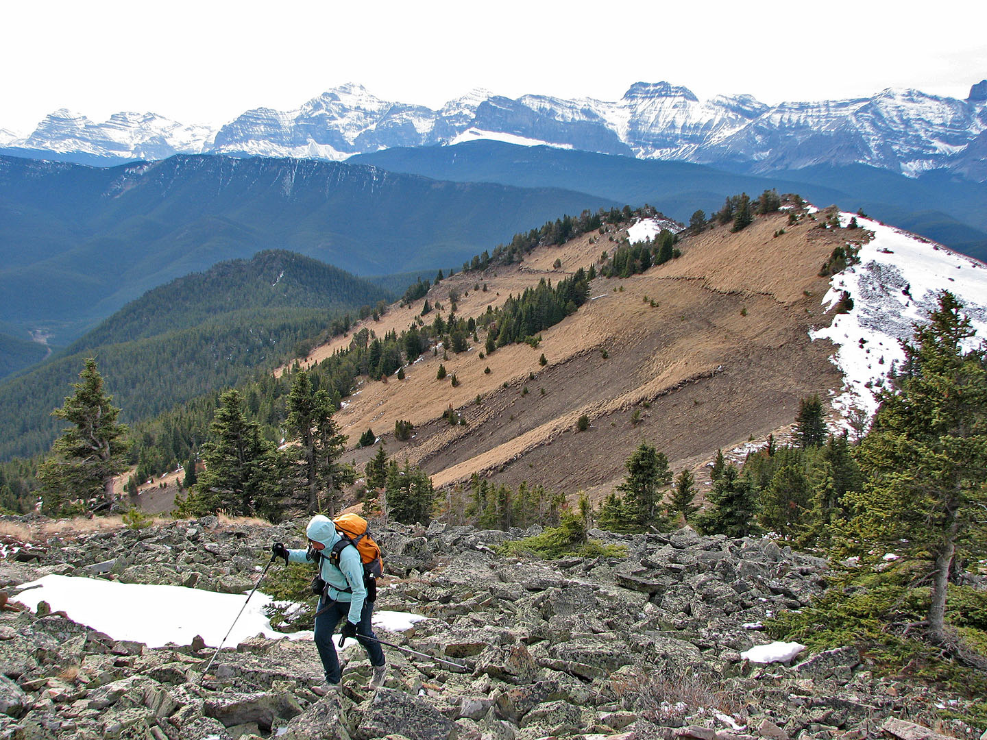
We headed to the South Peak
Twin Peaks
Cache Creek Elevators (centre, mouse over). Beehive Mountain is above me.
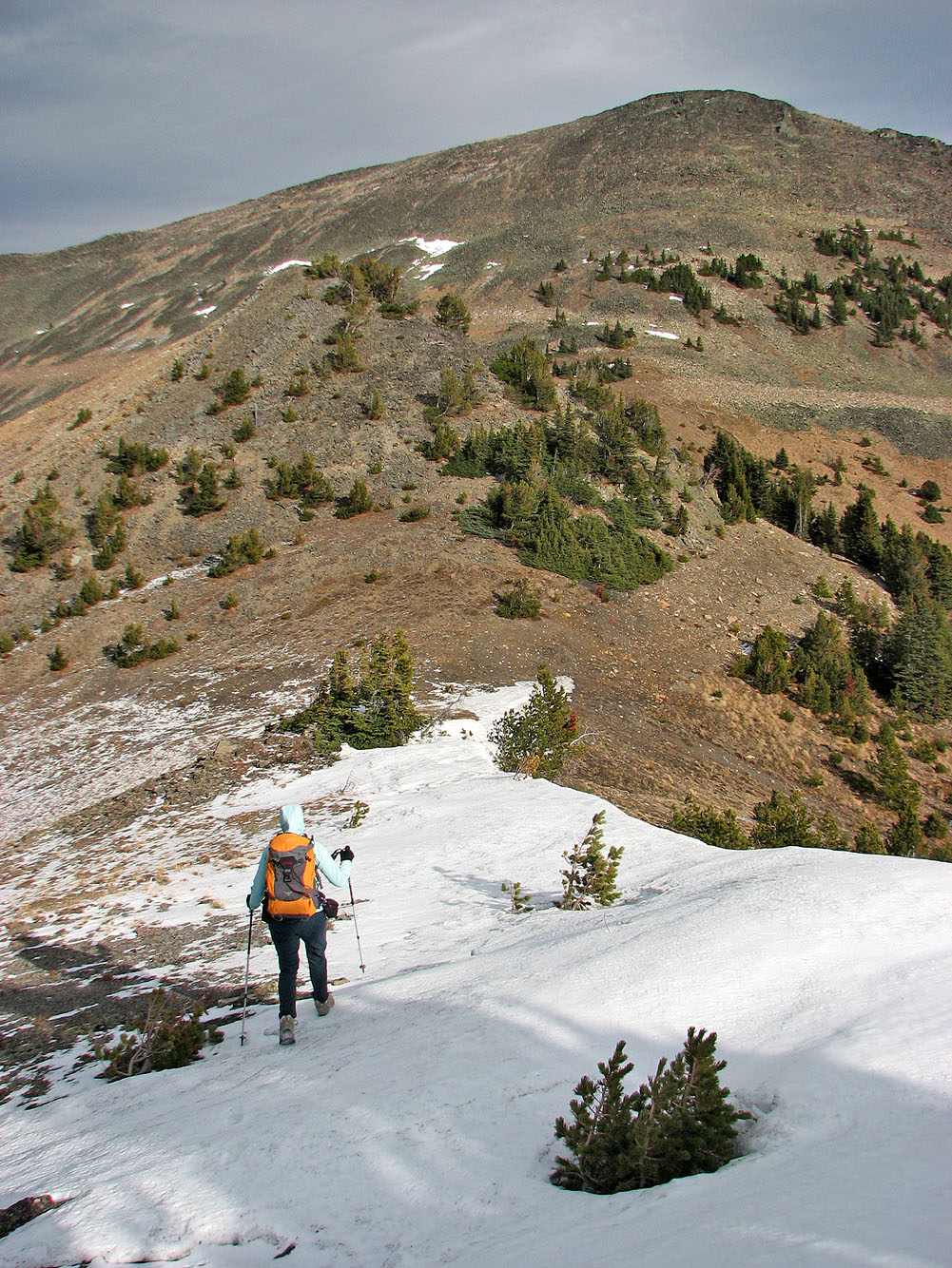
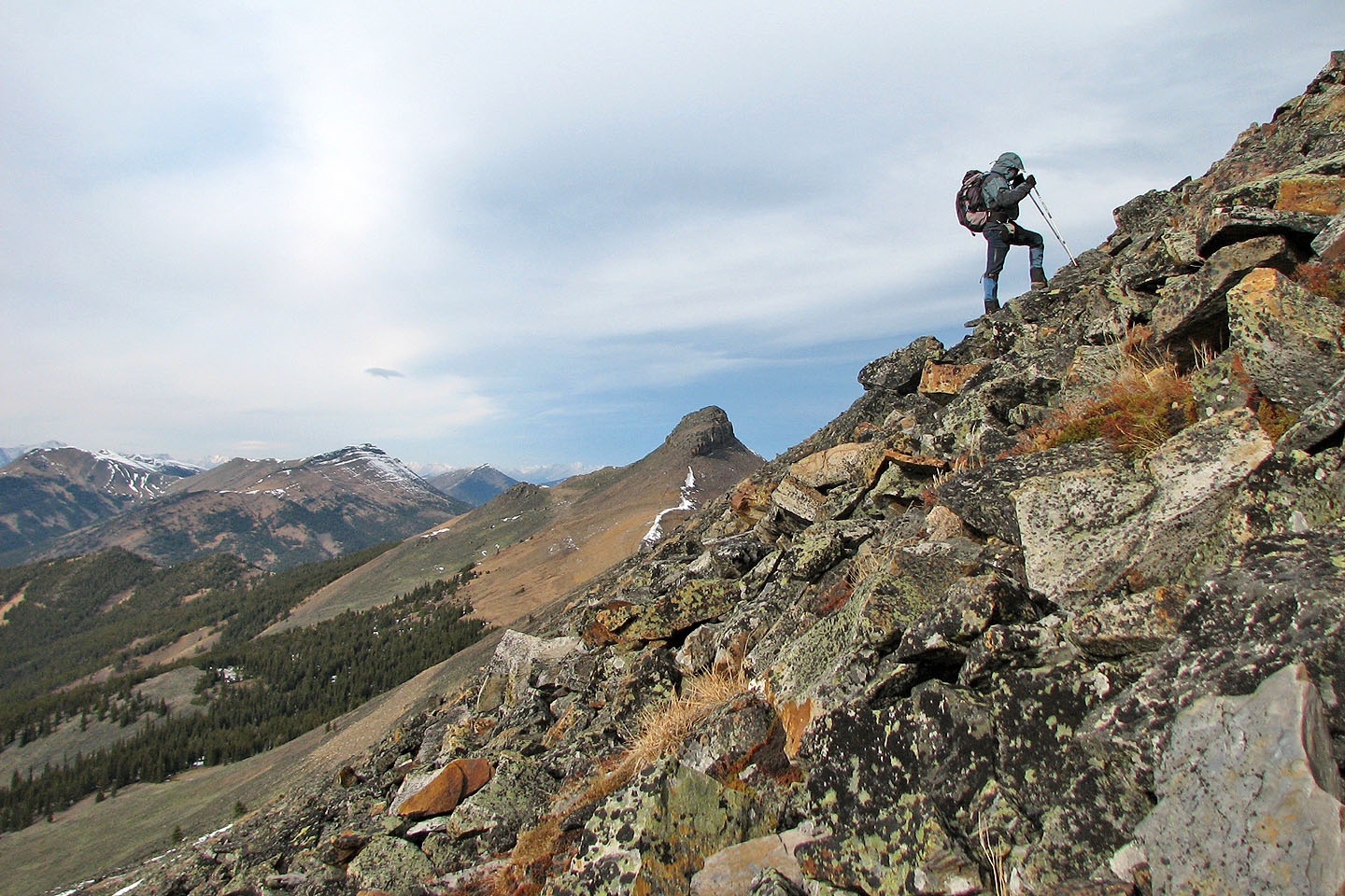
Approaching the South Peak
Beehive Mountain (left) and Mount Lyall (left of centre)
The grade will soon steepen
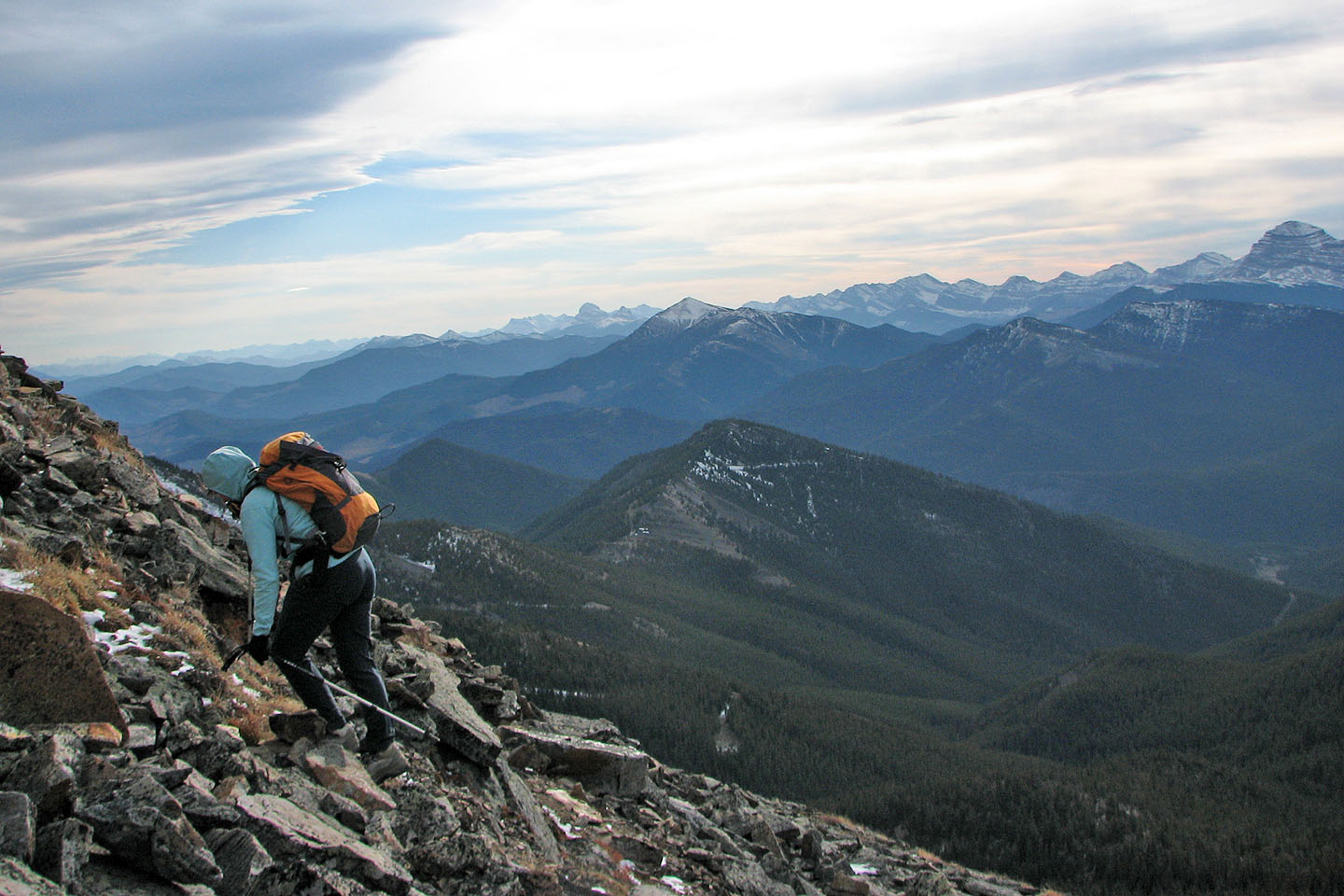
Looking back at the ridge we followed
The North Peak is only about 25 m higher than the South Peak
Looking south, the white peak in the centre is Sugarloaf Lookout
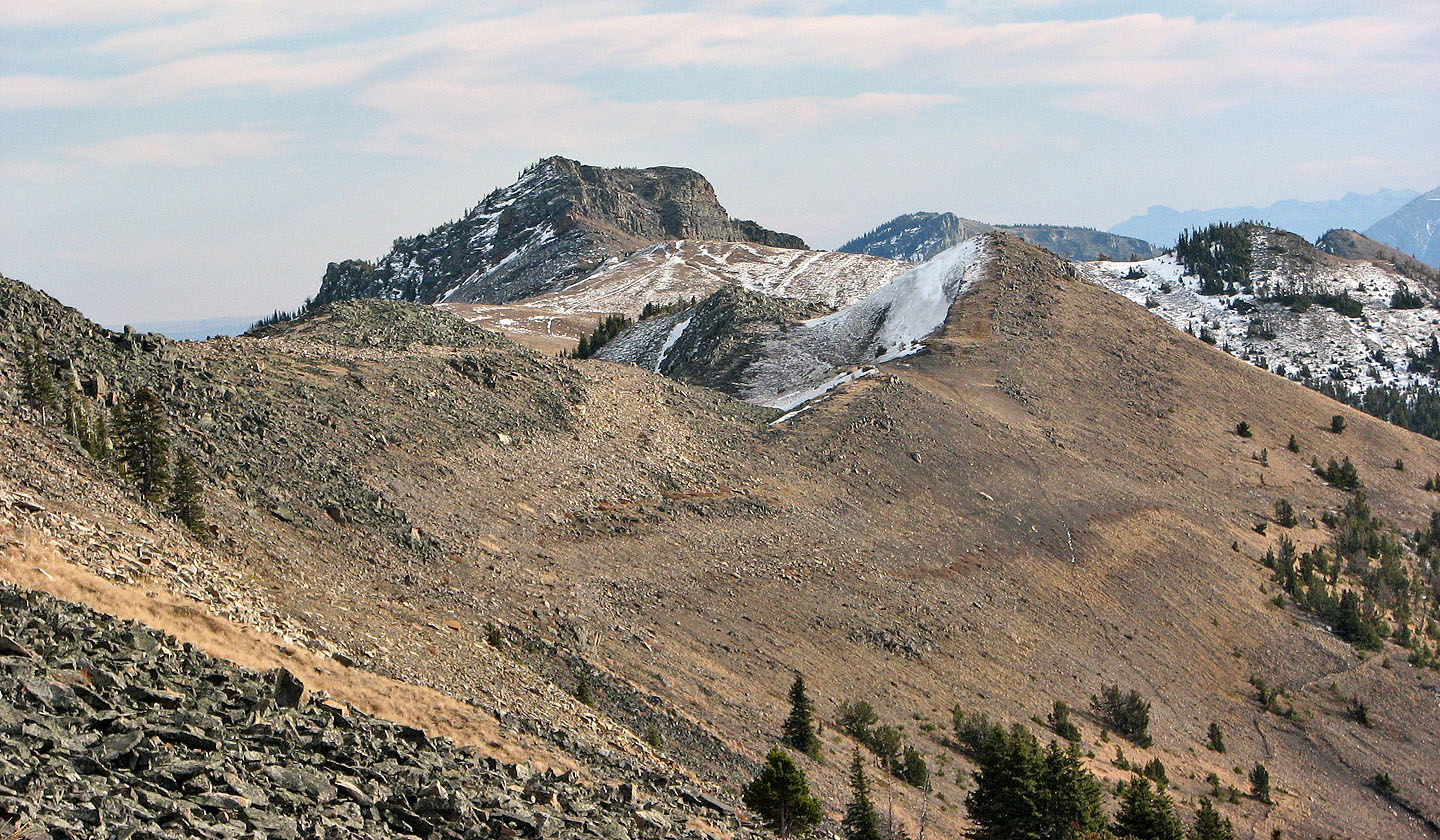
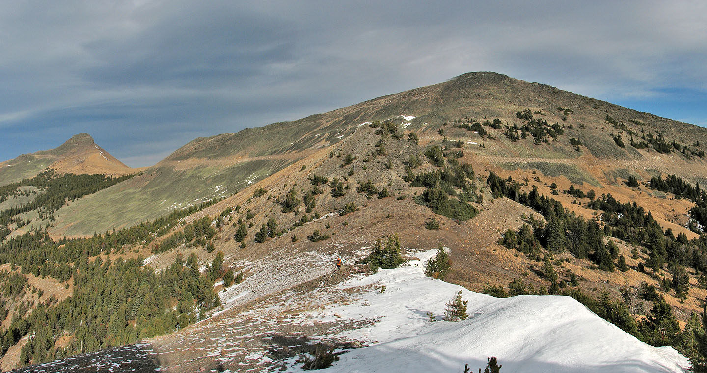
Looking southeast along Cabin Ridge
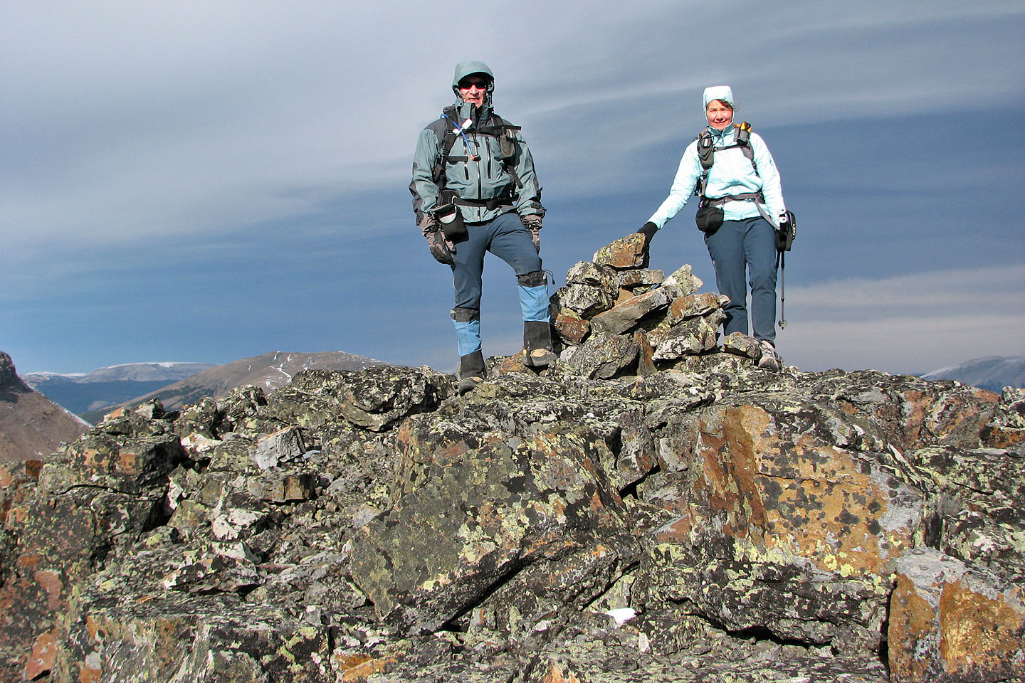
On the summit
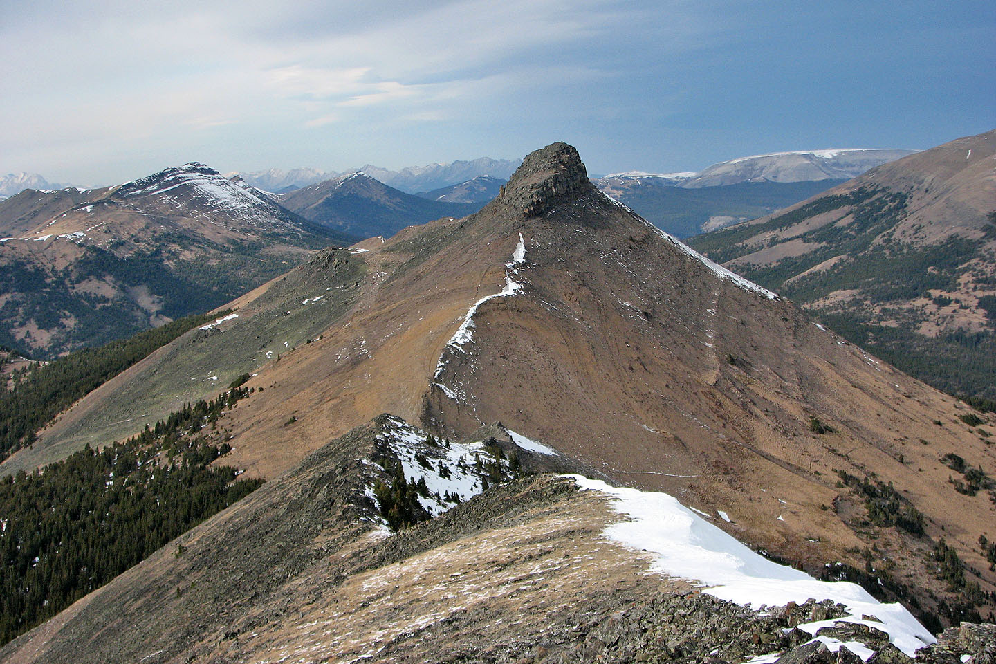
North Peak from the South Peak (mouse over for a close-up)
On the return, we left the seismic trail and headed for the drainage. Above
are the slabs that we descended from earlier in the day.
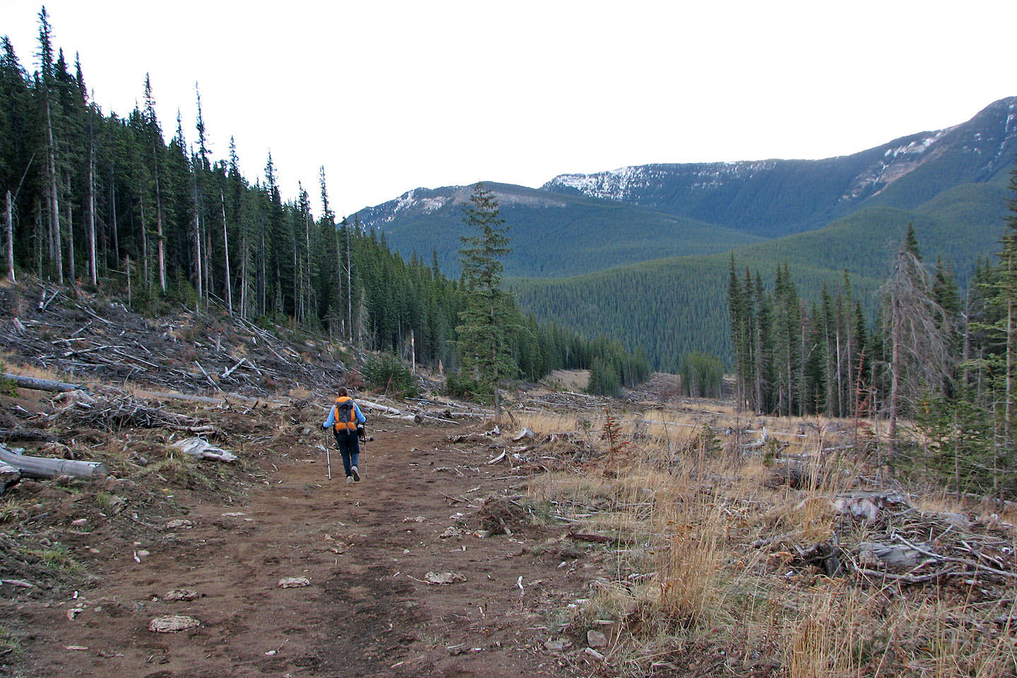
Following the road that runs alongside the drainage
The road is marked by an enormous cairn
Old route that we used on the ascent
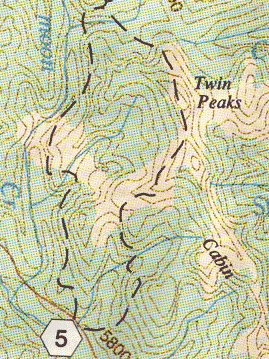
82 J/2 Fording River