bobspirko.ca | Home | Canada Trips | US Trips | Hiking | Snowshoeing | MAP | About
Coyote Hills East
Kananaskis, Alberta
March 21, 2021
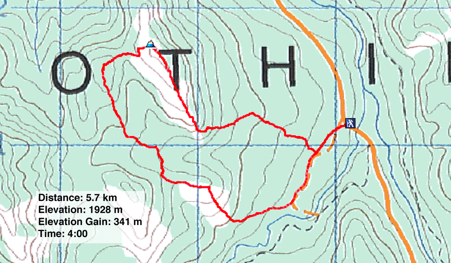
Distance: 5.7 km (3.5 mi)
Cumulative Elevation Gain: 432 m (1417 ft)
Coyote Hills provide good off-season hiking, and after reaching the west and highest hill eons ago, I returned to ascend the east hills with Zora and Jonathan.
We made a loop trip. We climbed the highest hill first before going to the smaller hill west. From there, we followed a ridge south before climbing over a spur to Baril Creek, back to the trail we started on. The hilltops and ridges we travelled were mostly bare of trees and snow – all enjoyable ridgewalks. We encountered snow in the trees but easily pushed through it.
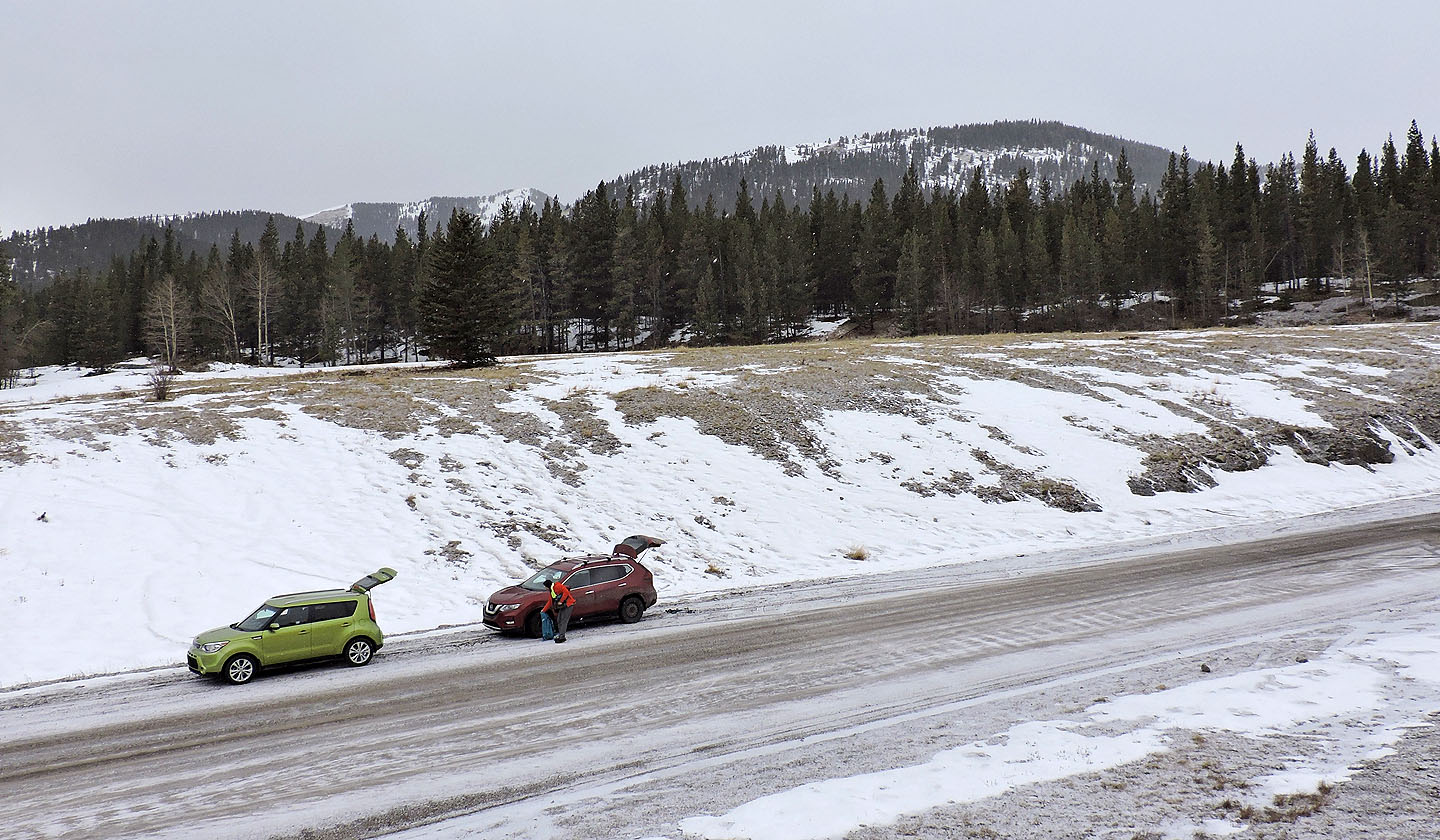
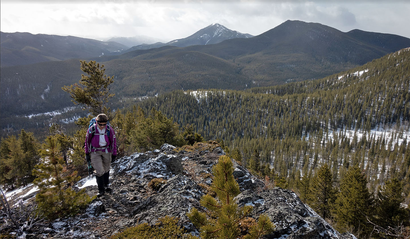
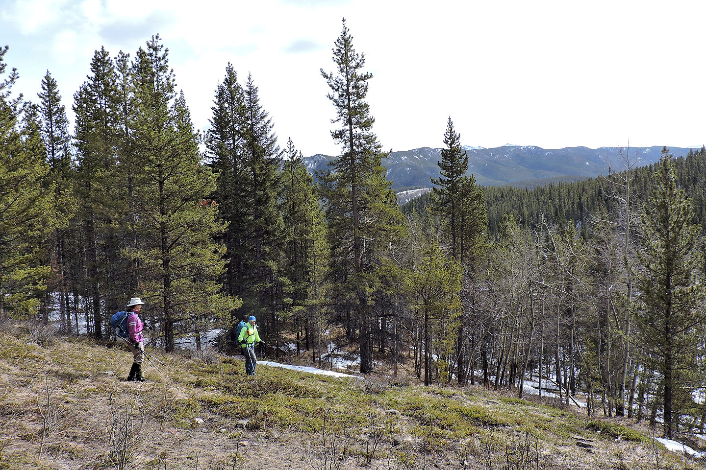
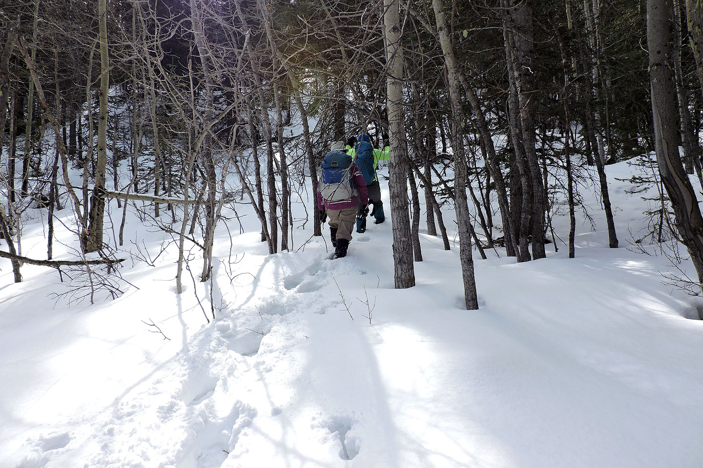
Our trip began after we parked on the roadside north of Baril Creek. From there we followed a trail for 250 m before leaving it. We meandered up a gentle, treed slope through a patchwork of snowy and dry sections. Eventually, the slope resolved into a distinct ridge crest. We passed through thinning trees before reaching a long, open ridge running to the summit.
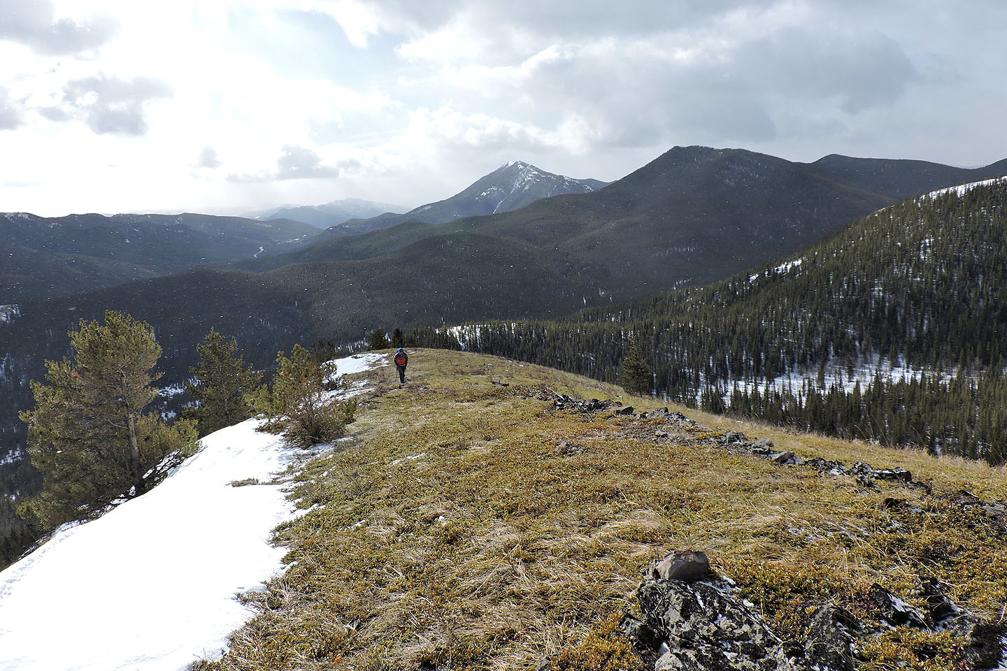
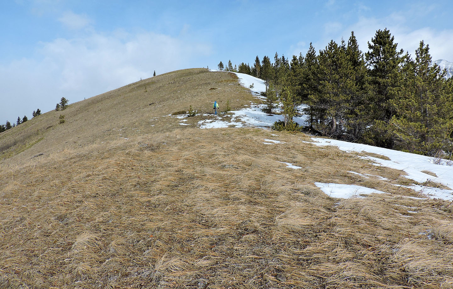
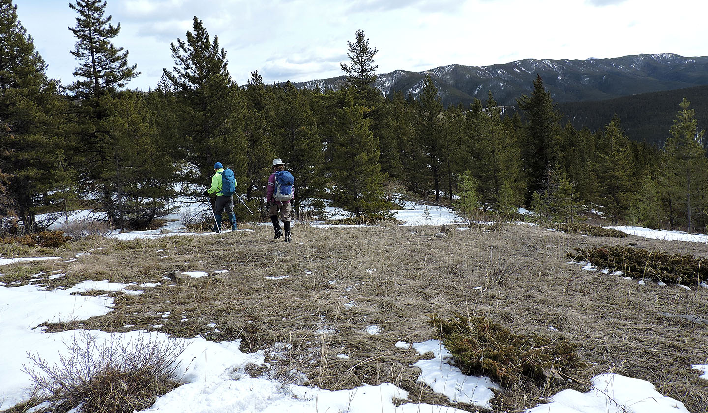
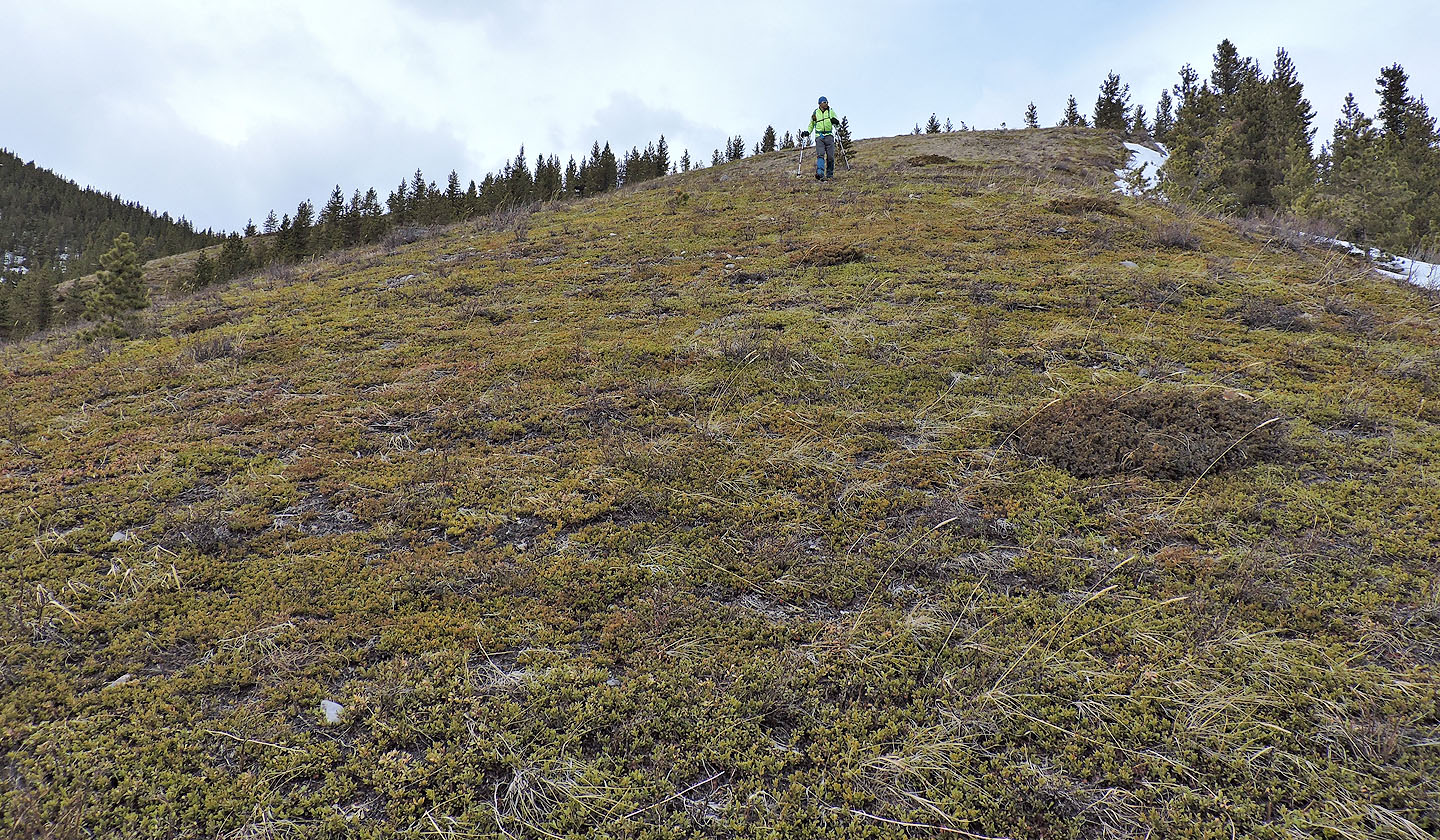
Hit by a cold wind, we didn't linger on top. We turned our attention to the next hill just 350 m away. We followed the low, treed ridge connecting the two hills, taking in stride several inches of snow. A 50-metre climb brought us to a sparsely treed hilltop where we sought shelter to have lunch. Afterwards, we ambled down the lengthy south ridge, much of it open to the sky and free of snow.
After dropping off the end of the ridge into a valley, we were a mere 250 m from our ascent of the first hill; we could have easily retraced our steps back to our cars. Instead, we turned to the low spur on our right. We tackled a snow-covered slope before coming to the top of the dry spur. We moved easily along the spur through a light forest to a large meadow. We gazed down at Baril Creek before descending to hike alongside the creek. Following a broad trail – the same one we started on – put a fine finish to our little trip.
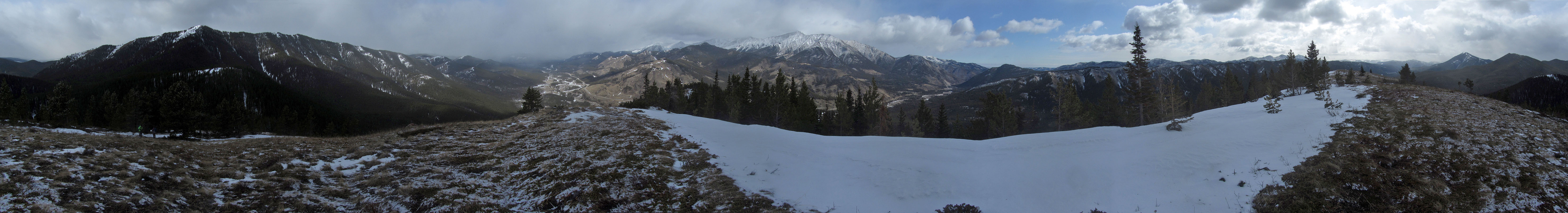
Coyote Hills East seen from my west hill trip. Arrows show our route.
The first hill we climbed is on the right
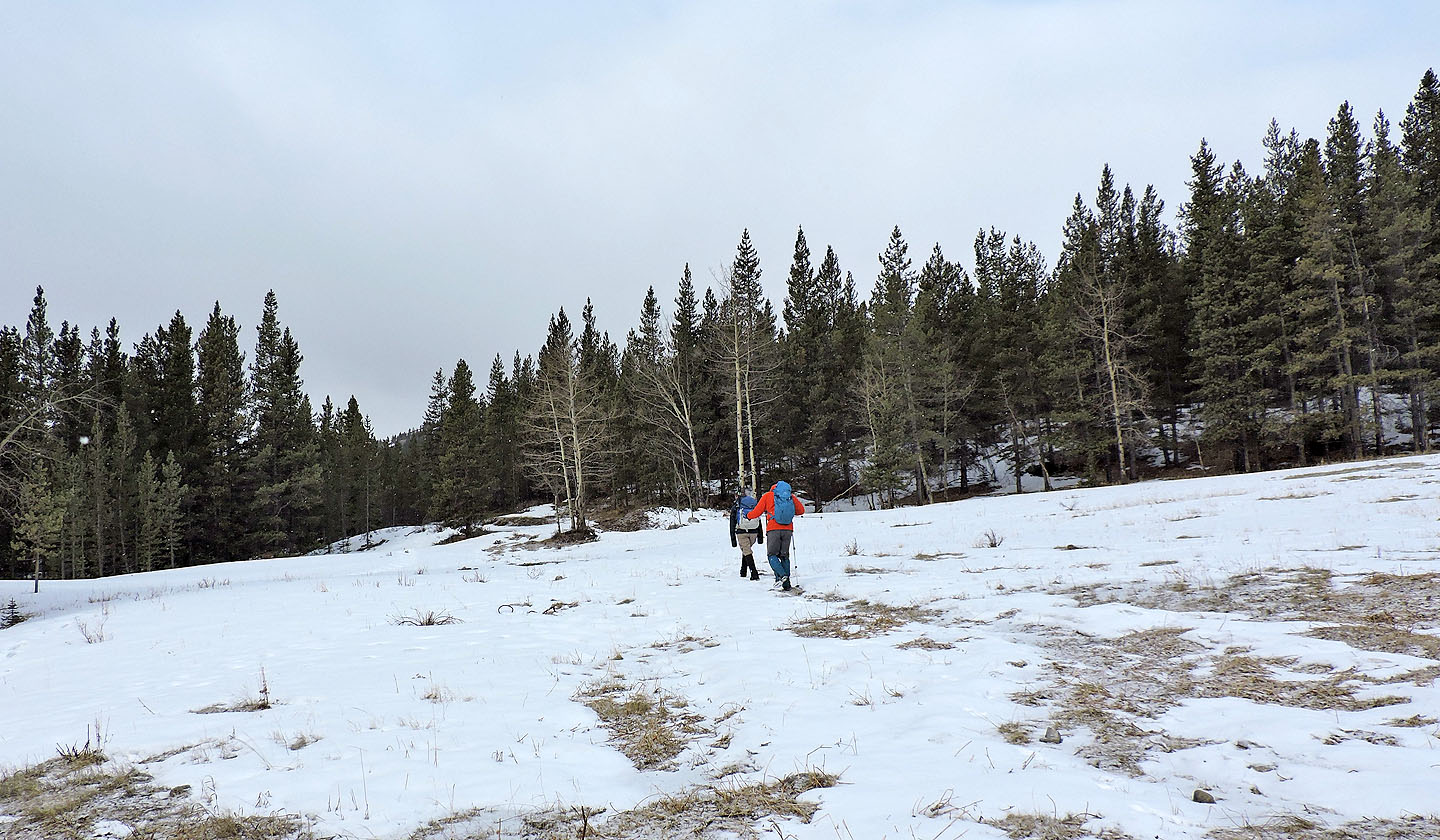
Starting up the trail
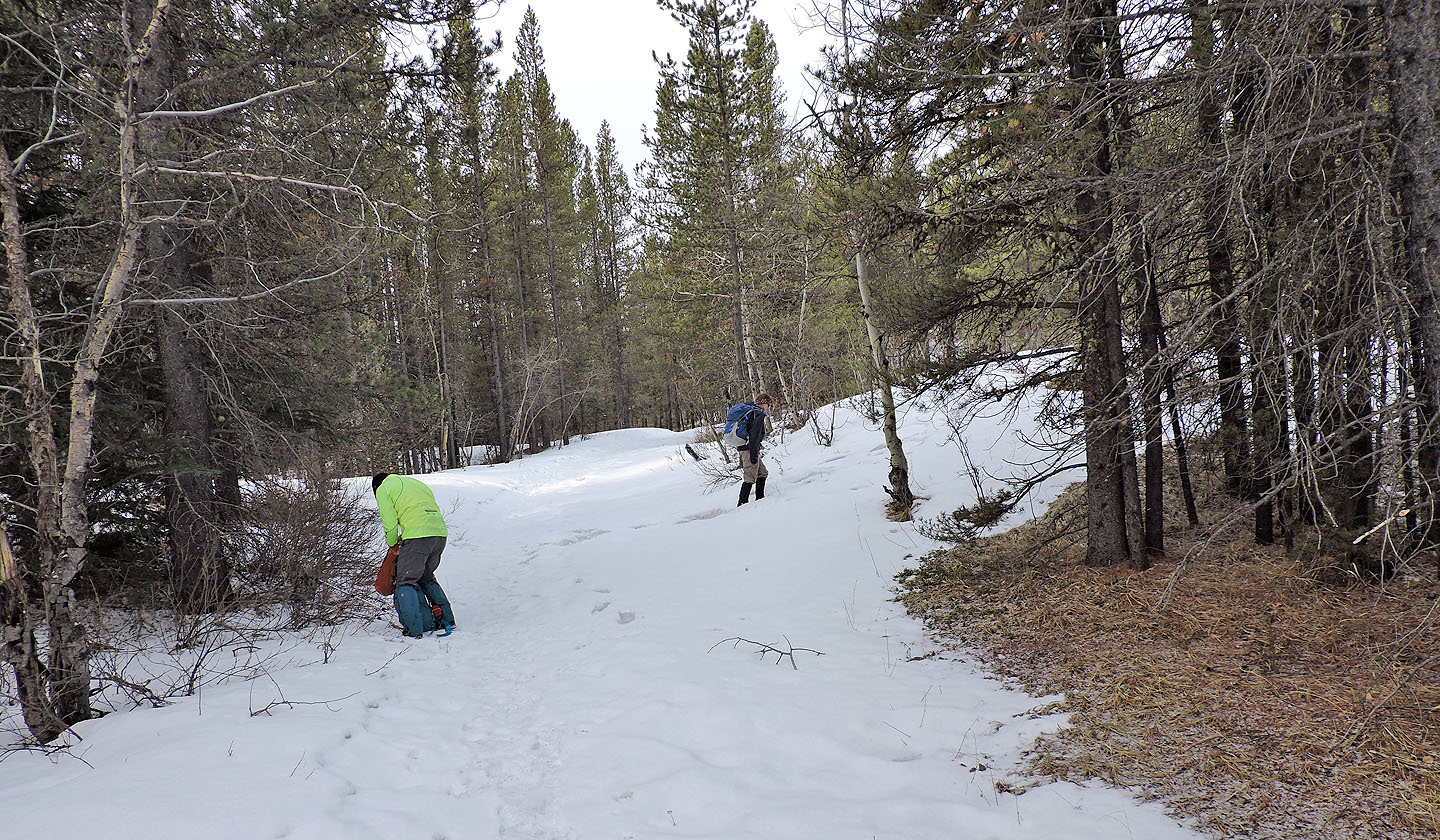
After covering 250 m, we left the trail
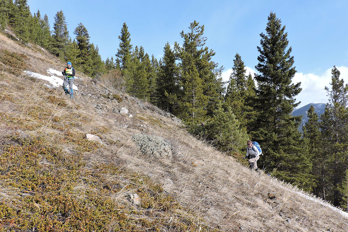
We followed the ridge up
We gratefully came to a meadow
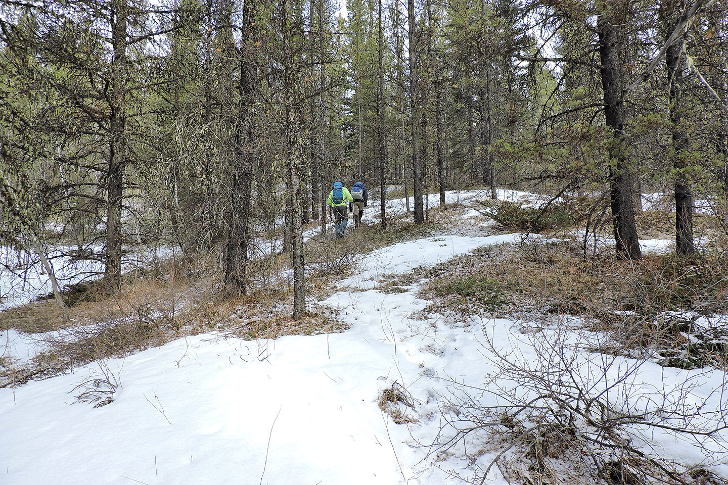
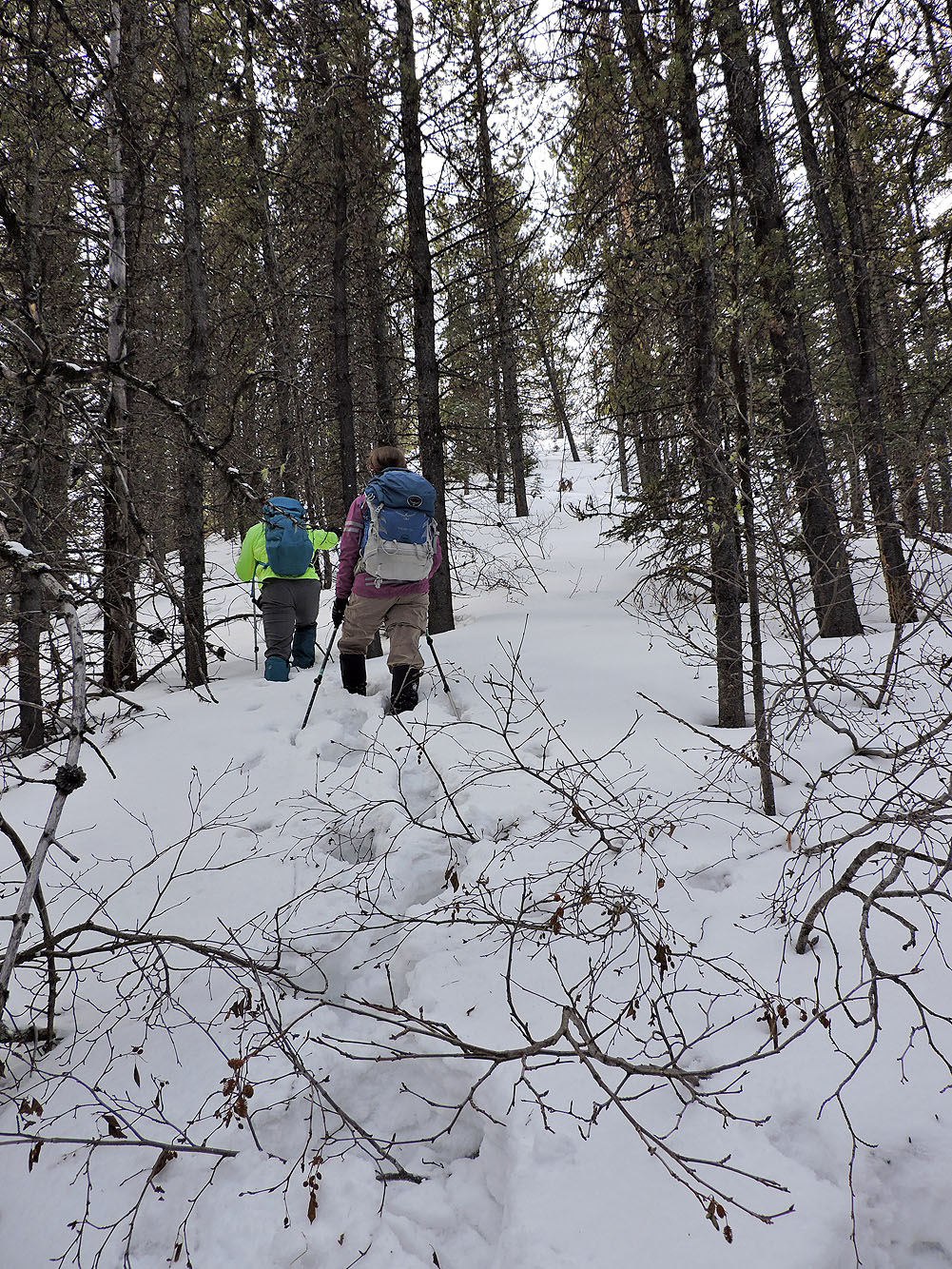
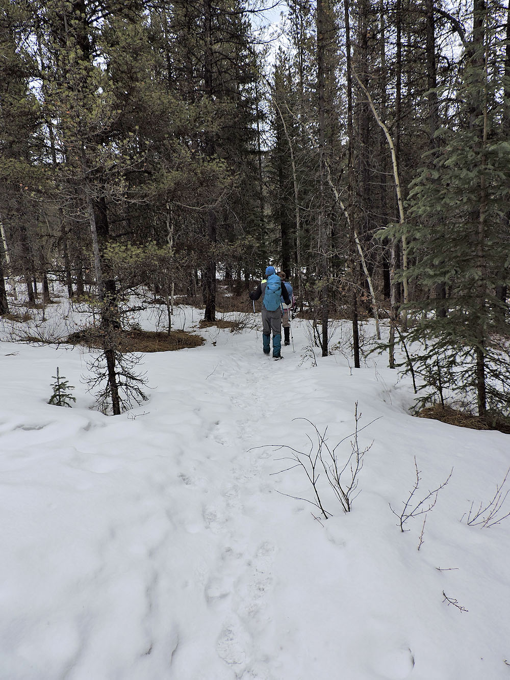
We were back in trees but it didn't last long
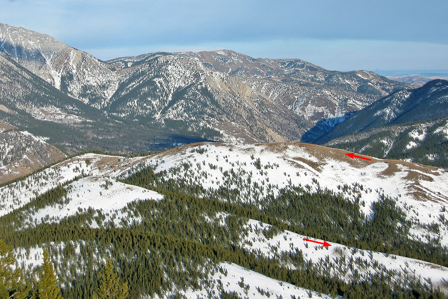
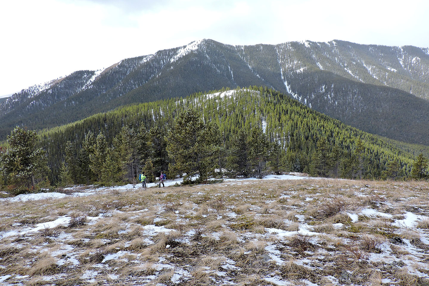
The snowy bump in the centre is the spur we climbed over
Gunnery Mountain and the South End of Hell's Ridge lie east
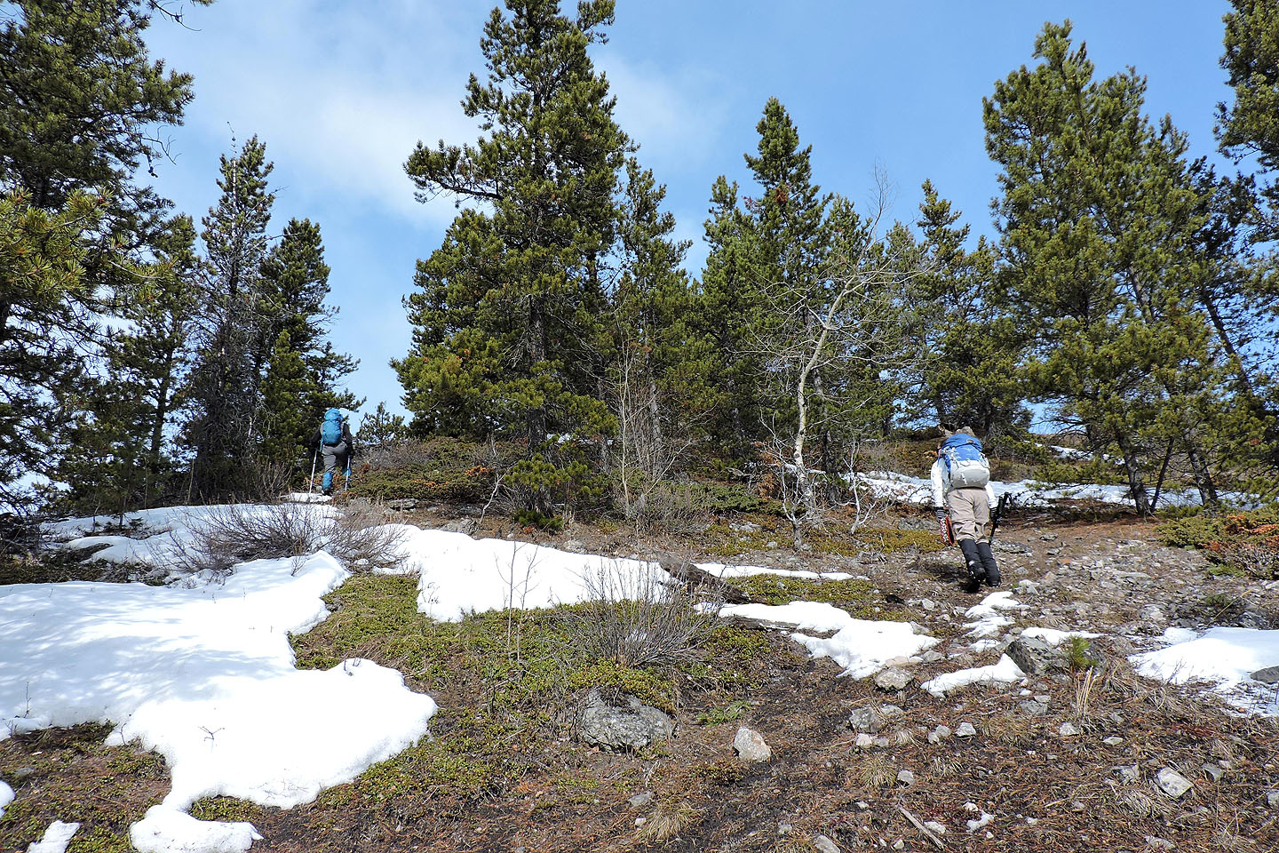
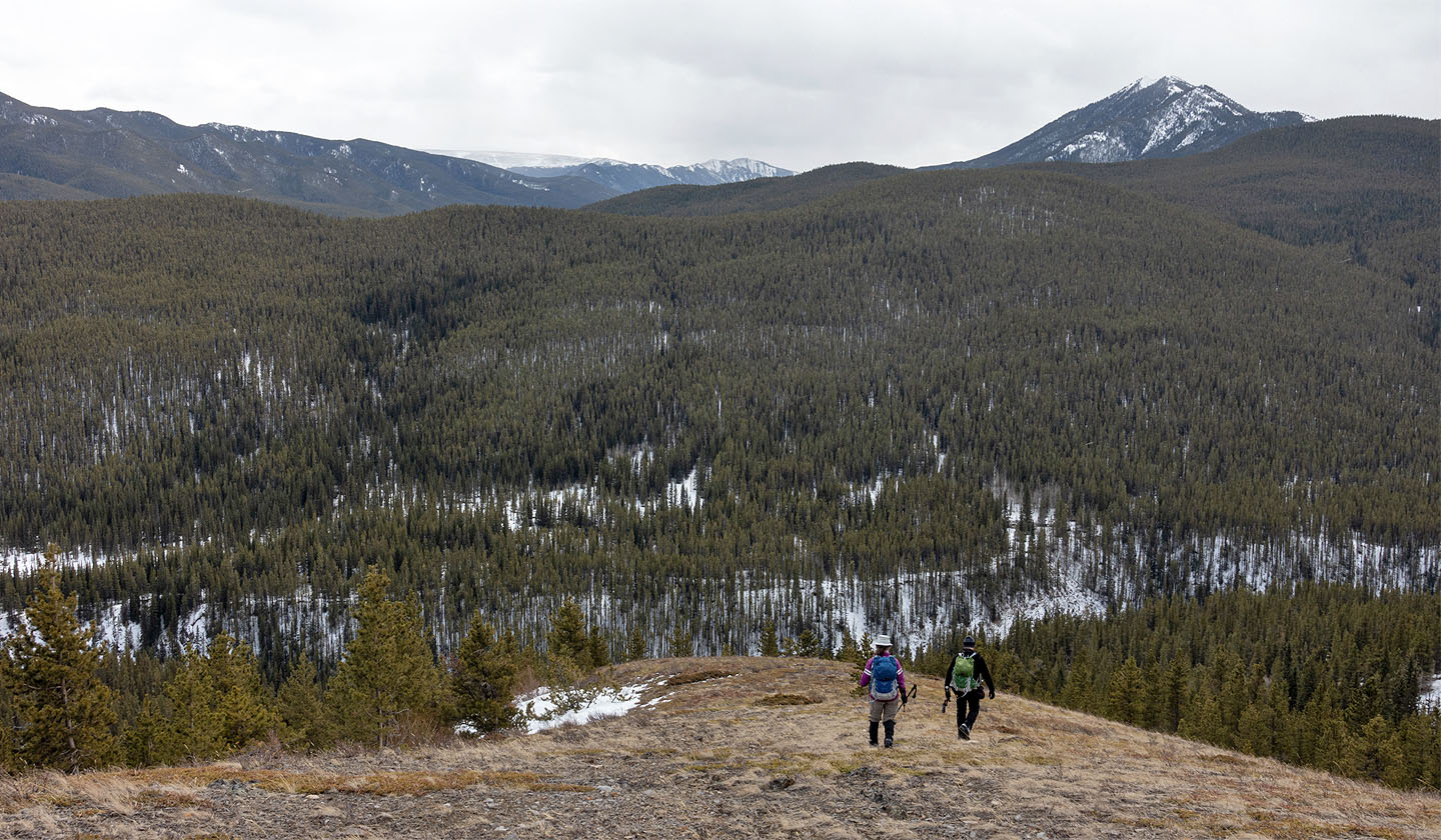
Hiking along the ridge to the summit
The summit is not yet in sight
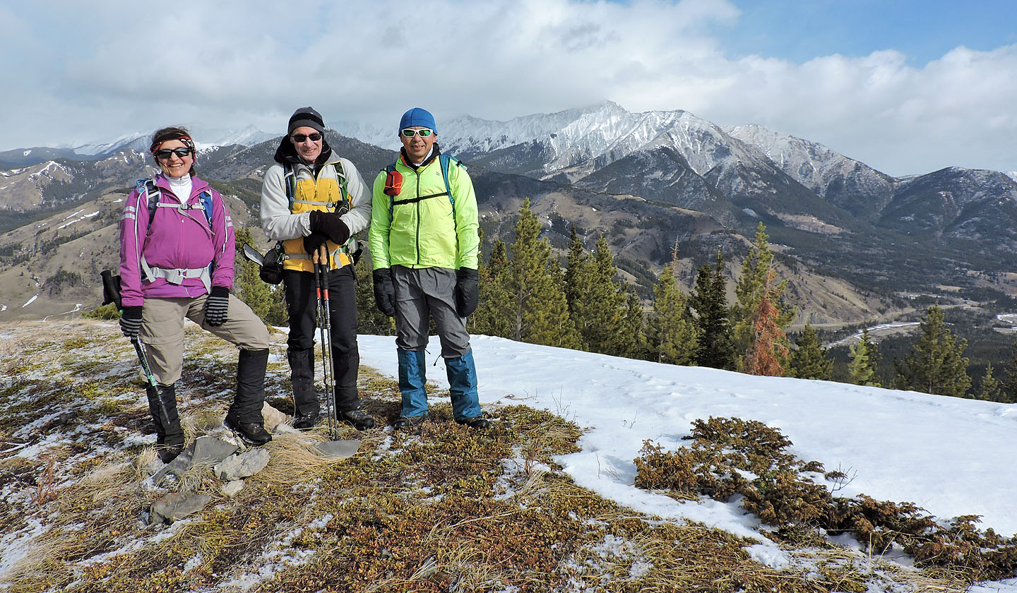
Standing by the summit cairn. Holy Cross Mountain in the background.
Our next objective was the little hill west, overshadowed by the highest hill in Coyote Hills
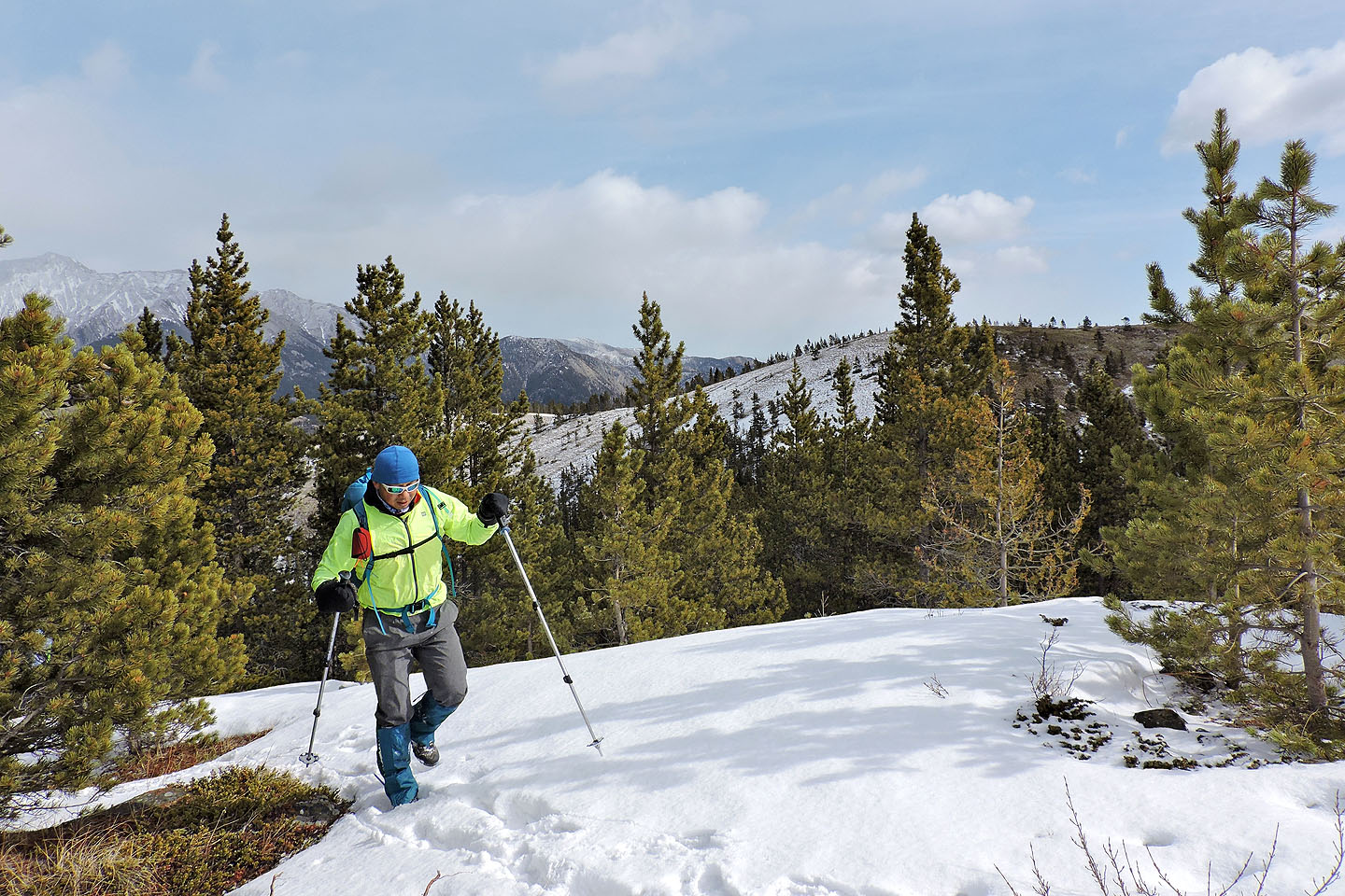
Jonathan breaks trail up the hill
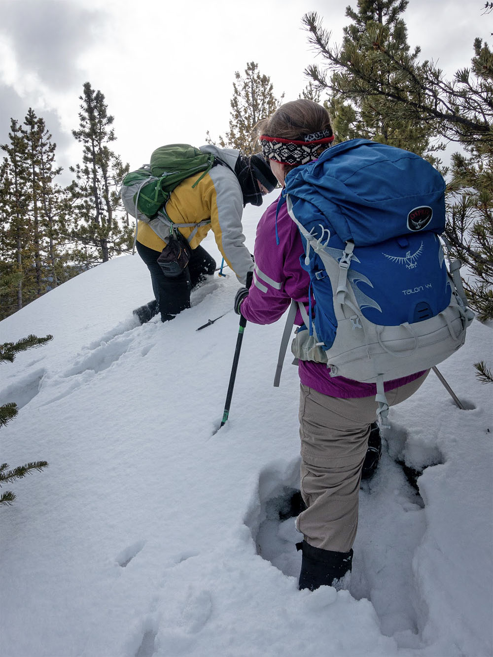
We encountered deep snow just before the top
Jonathan arrives on top
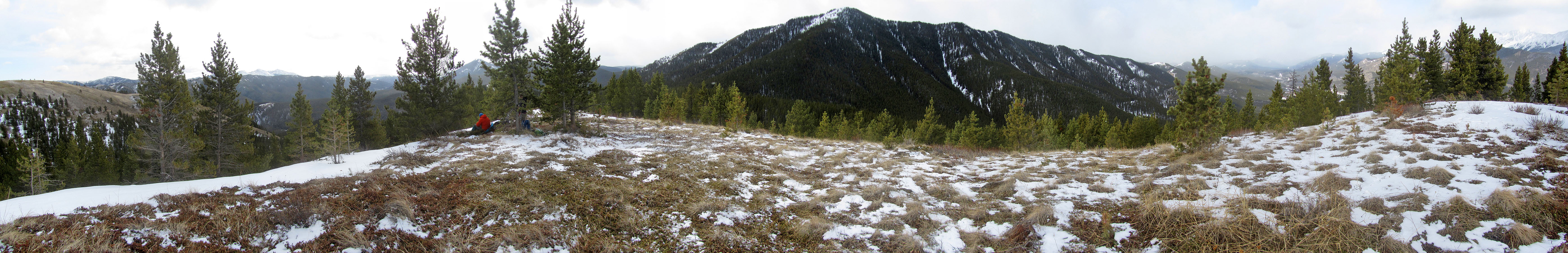
Looking south and west from the hill
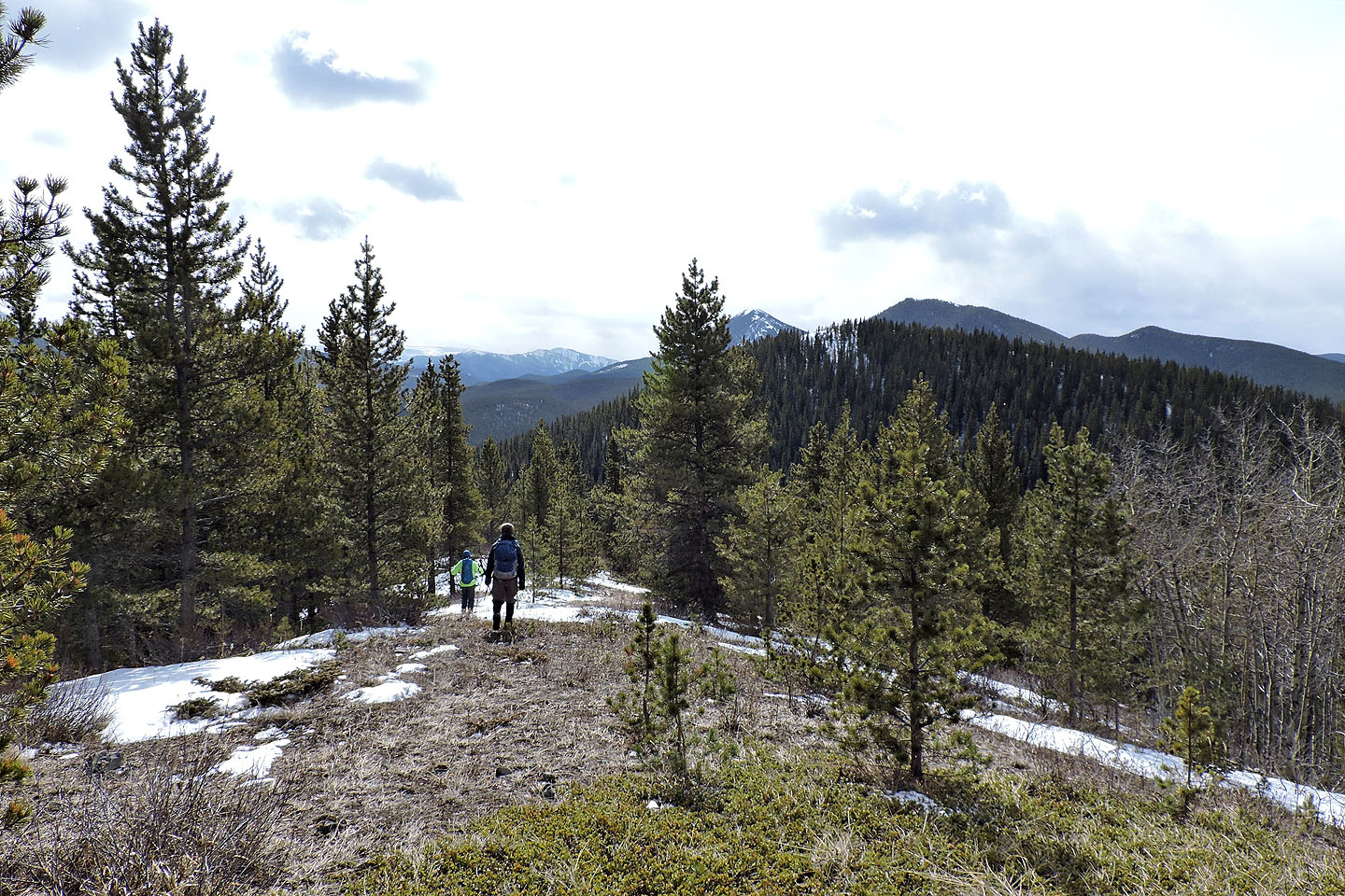
We descended a lightly treed ridge
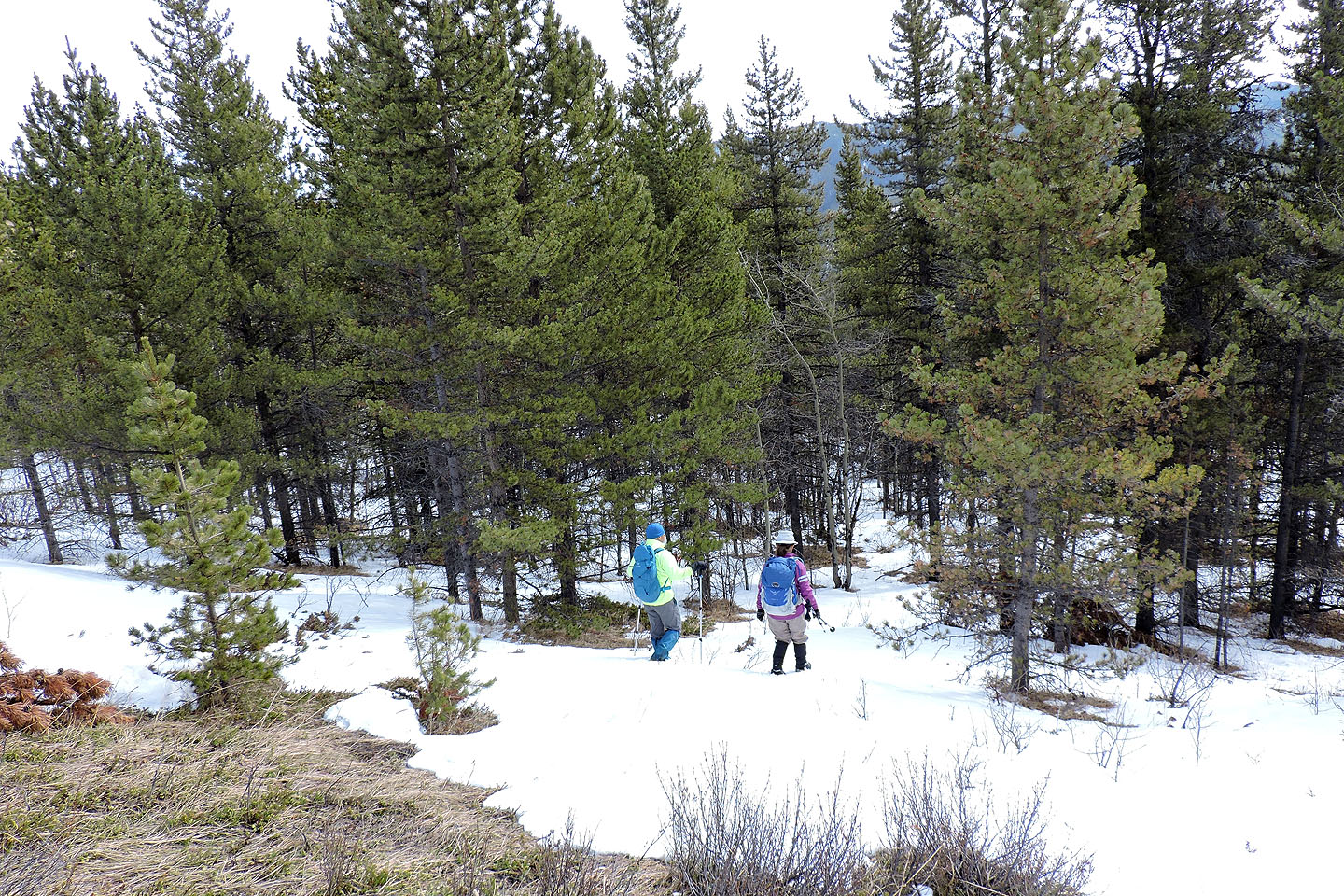
We encountered snow patches in the trees
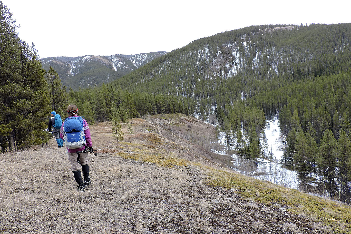
Coming to the end of the ridge. Afterwards, we'll climb the spur in front of us.
Starting up the spur
Hiking along the spur
Coming down the spur
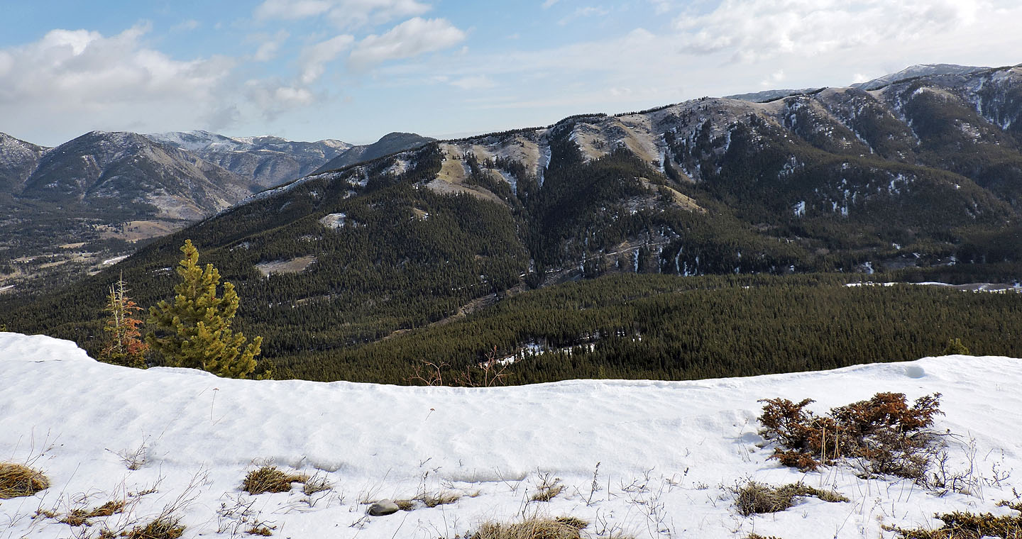
 Baril Creek lies below. Raspberry Ridge is on the right.
At the bottom we came across a trail
We briefly followed alongside Baril Creek
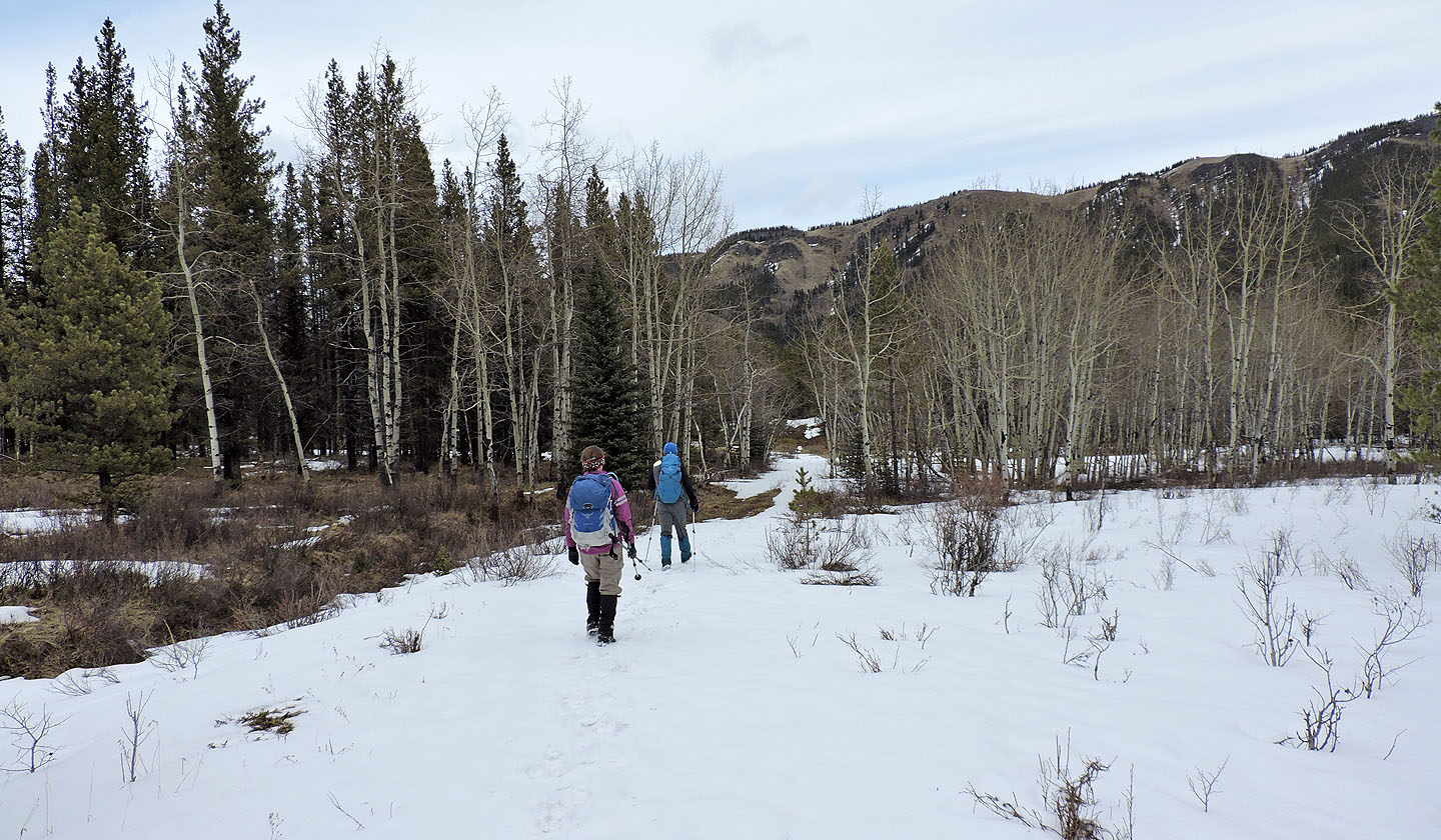
We're back on the trail we started up
82 J/7 Mount Head