bobspirko.ca | Home | Canada Trips | US Trips | Hiking | Snowshoeing | MAP | About
Mount Lougheed
Kananaskis, Alberta
July 25, 2009
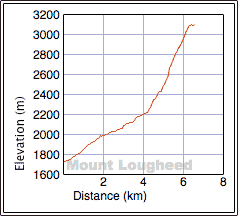
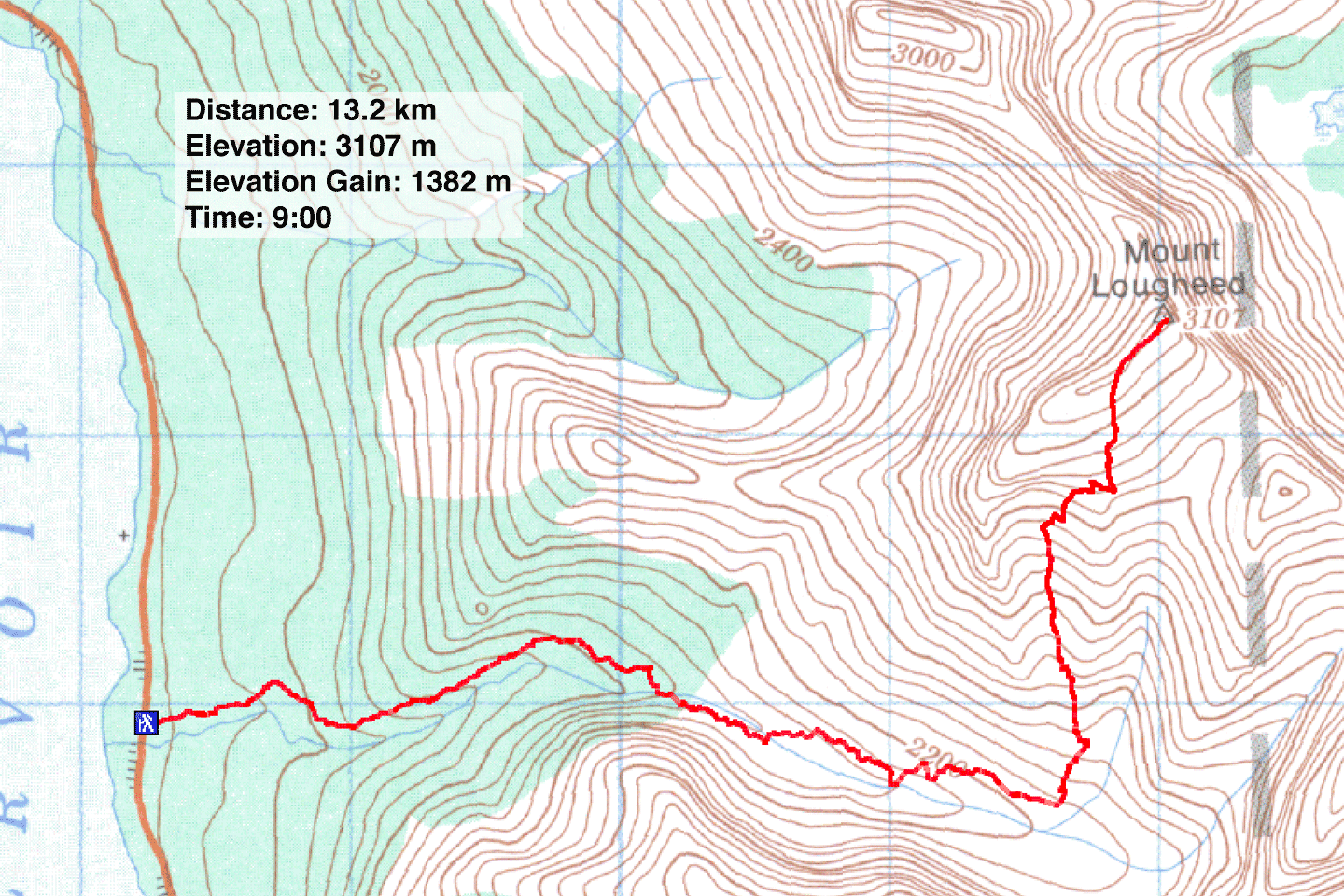
Distance: 13.2 km (8.2 mi)
Cumulative Elevation Gain: 1438 m (4718 ft)
When Dinah and I started climbing Mount Lougheed under clear, blue skies we hadn't expected to find ourselves in a thunderstorm later. We reached Peak 2, the highest summit, and were well down the mountain before the storm struck 20 minutes after summiting. Out of range of lightning strikes, we experienced lightning flashes and thunder in safety.
We took advantage of a easy-moderate scrambling route that started appearing last year on websites. The trail, which parallels Spencer Creek, is well known to us since we've used it as the approach to Little Lougheed.
After 4.5 km the trail ends and a short bushwhack took us to Spencer Creek. We followed the creek until we came to a side drainage on our left. We headed up the grass slope west of it.
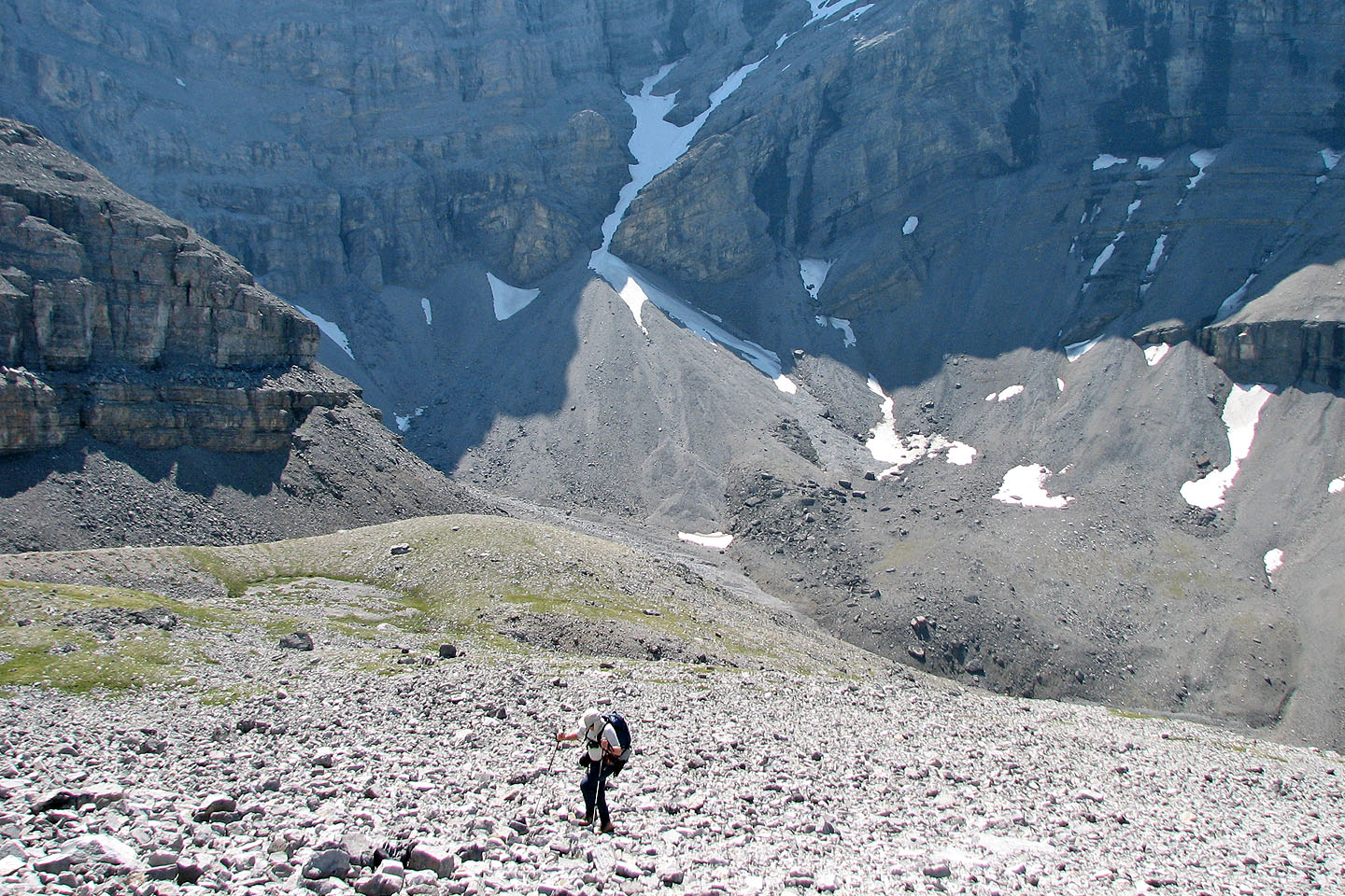
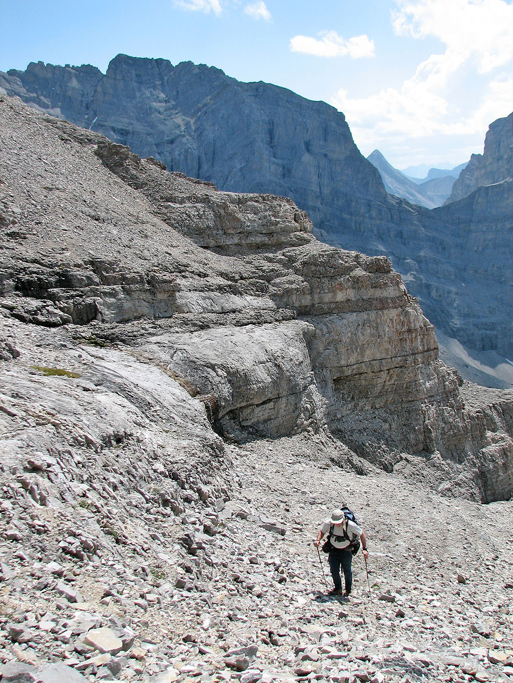
From Spencer Creek, the lay of the land prevented us from seeing Mount Lougheed, but after topping out onto a bench, a sweeping scene lay ahead, including the route up the impressive scree cone.
At the top of the scree, we found an obvious way to reach a small ridge on our right. Past that we crossed a bowl to another ridge. This ridge, actually the edge of a scree slope, leads to the summit ridge.
Before reaching the summit, we heard the boom of thunder behind us. We watched in awe as lightning struck nearby mountains. I stood transfixed after seeing one particular lightning bolt just a couple of peaks away. The wind was light but it was steadily bringing the storm our way. We had just enough time to make the summit, take photos and drop down a few hundred metres out of harm's way before the storm arrived.
We had originally planned to continue to Peak 3 and descend from the col between 2 and 3, but our plans were foiled by the thunderstorm. Regardless, we reached the highest peak and enjoyed it all, even the storm.
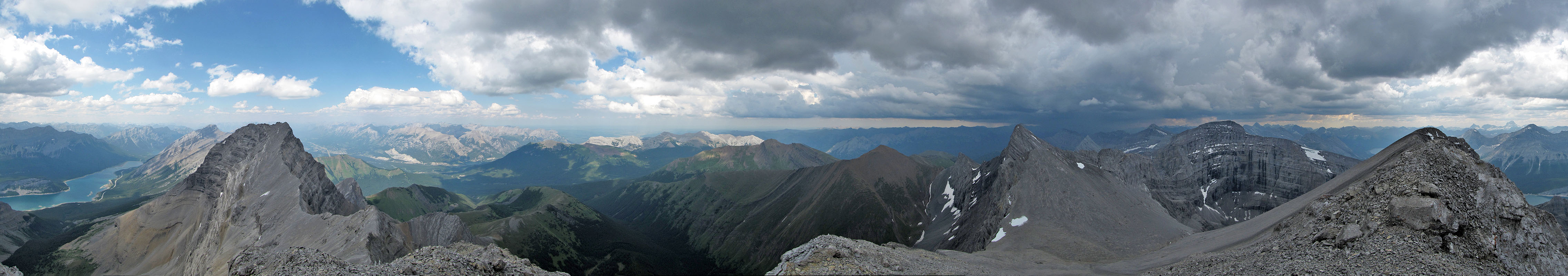
Mount Lougheed seen from the trail
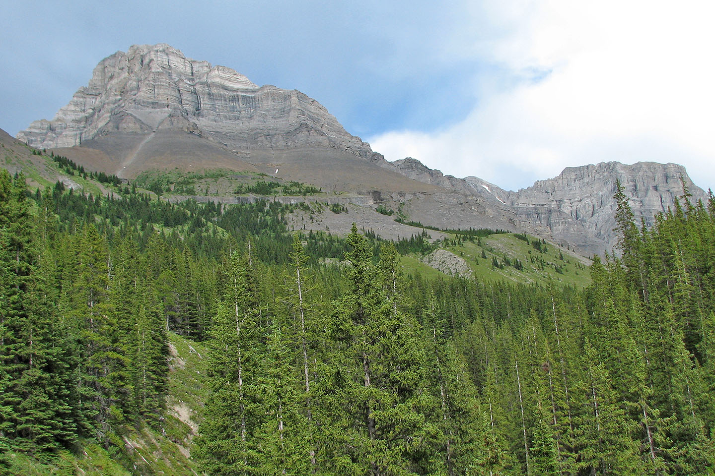
The trail crosses a side creek

Watch out for frogs
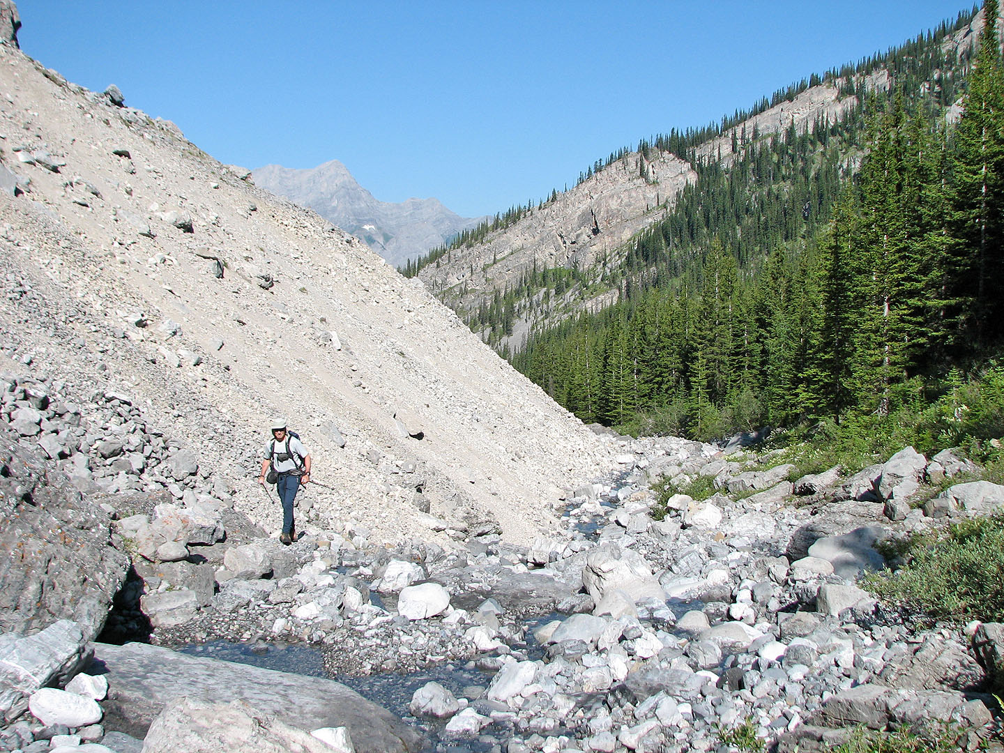
Hiking up Spencer Creek
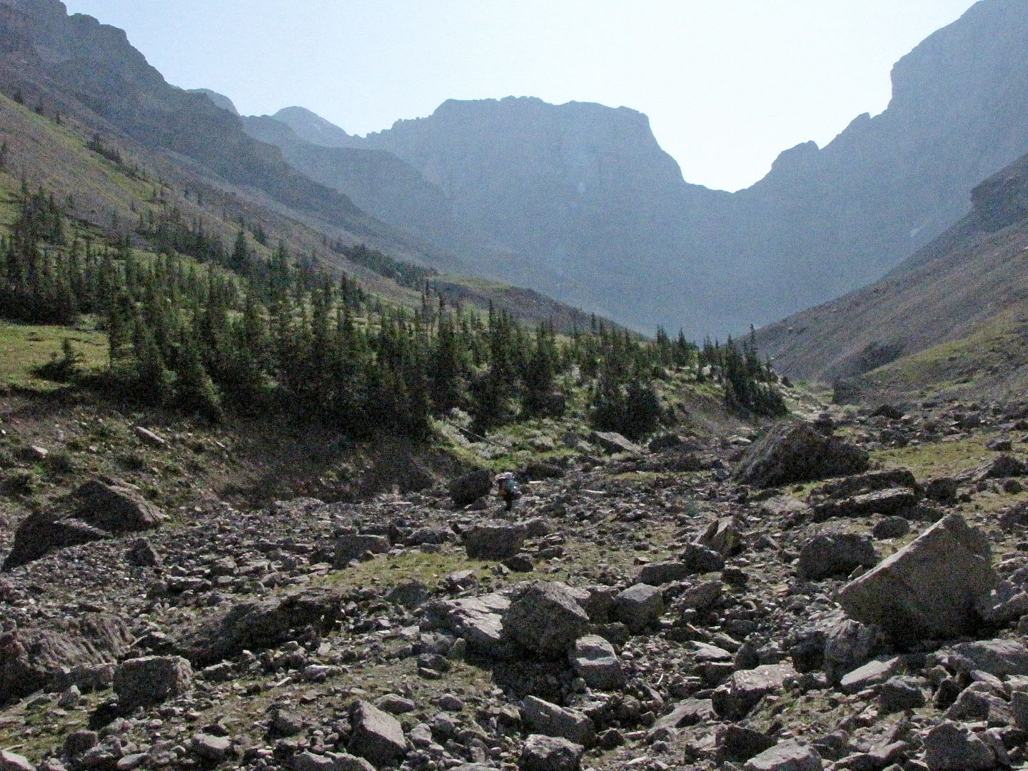
It's a long hike just to reach the ascent gully
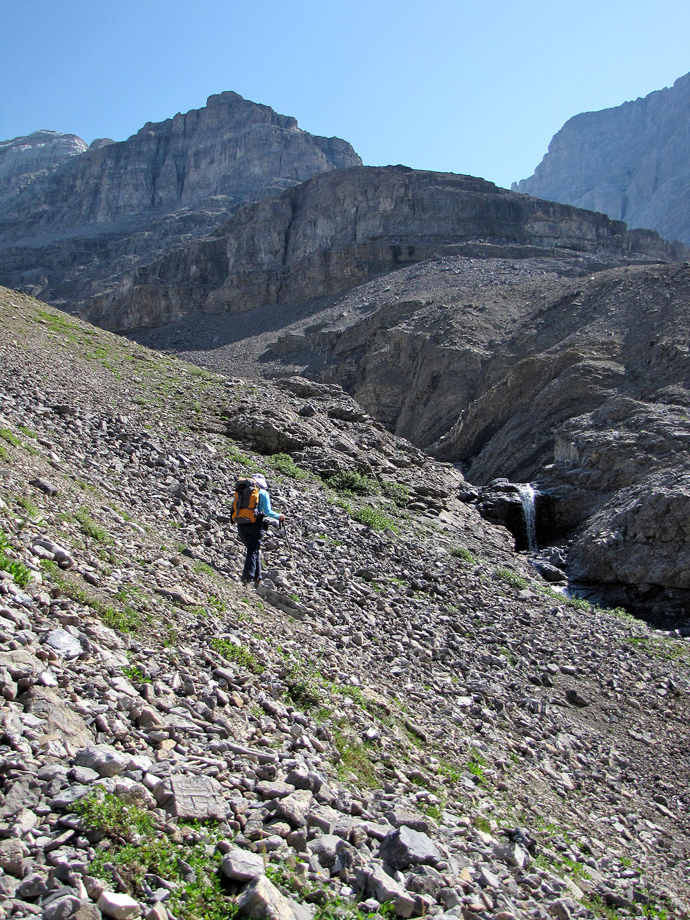
After leaving the creek, we headed to the waterfall but ended up
ascending the slope on our left
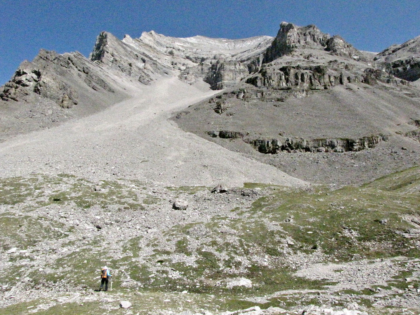
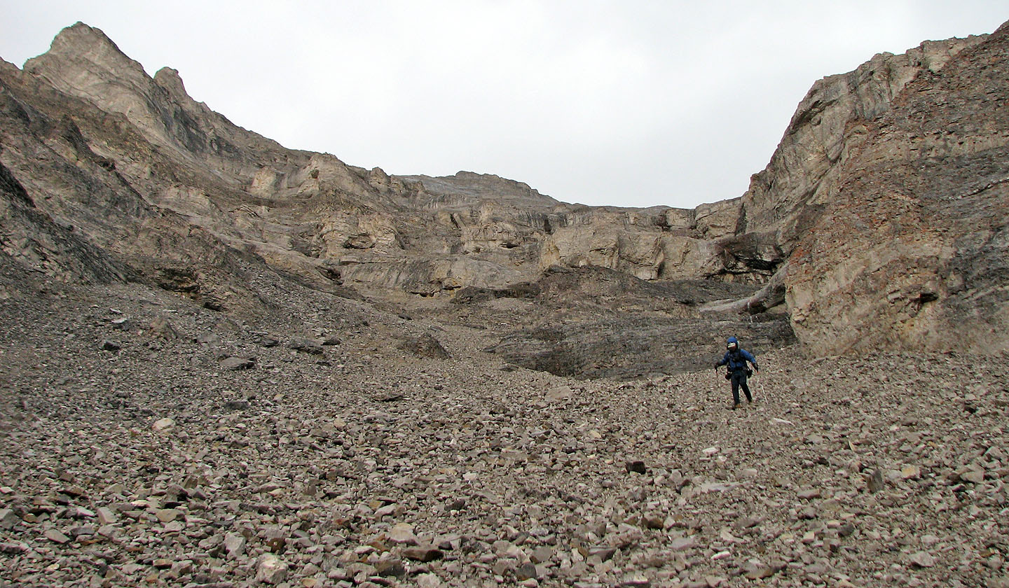
From the top of the slope we viewed the vast scree cone we must climb
Starting up the scree
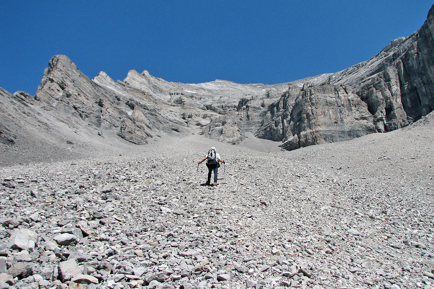
At the top of the scree we'll need to make our way right
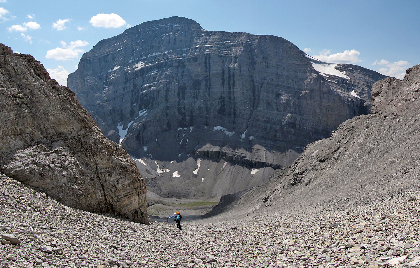
Mount Sparrowhawk fills the view south
After passing the white rock in front of me we found a trail on our right
We'll soon find a break on our right
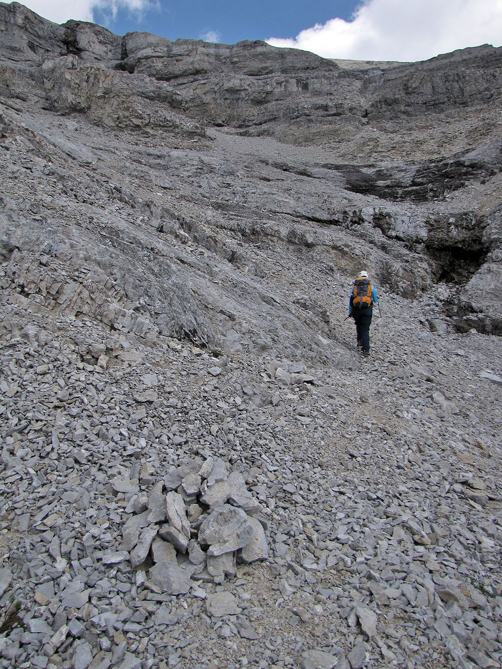
I scrambled up the weakness in the cliff above Dinah, but a notch
(not seen here) on the right is easier
From the notch (behind Dinah) we headed to the bowl
 To reach the ridge crest from the bowl, we
scrambled up the broad, white rock slab
To reach the ridge crest from the bowl, we
scrambled up the broad, white rock slab
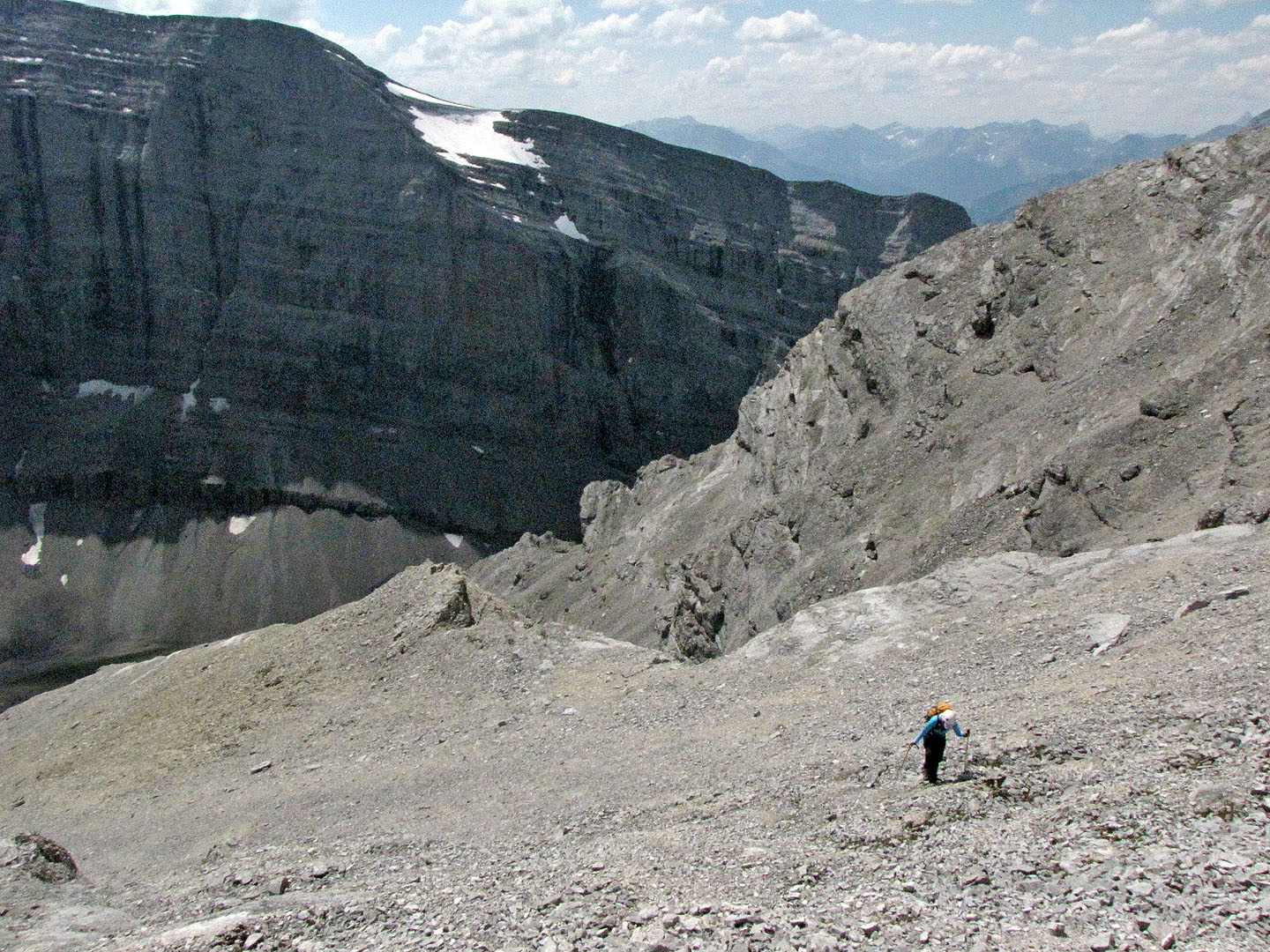
Looking back after crossing the bowl, we took note of the notch (mouse over) to find our way back
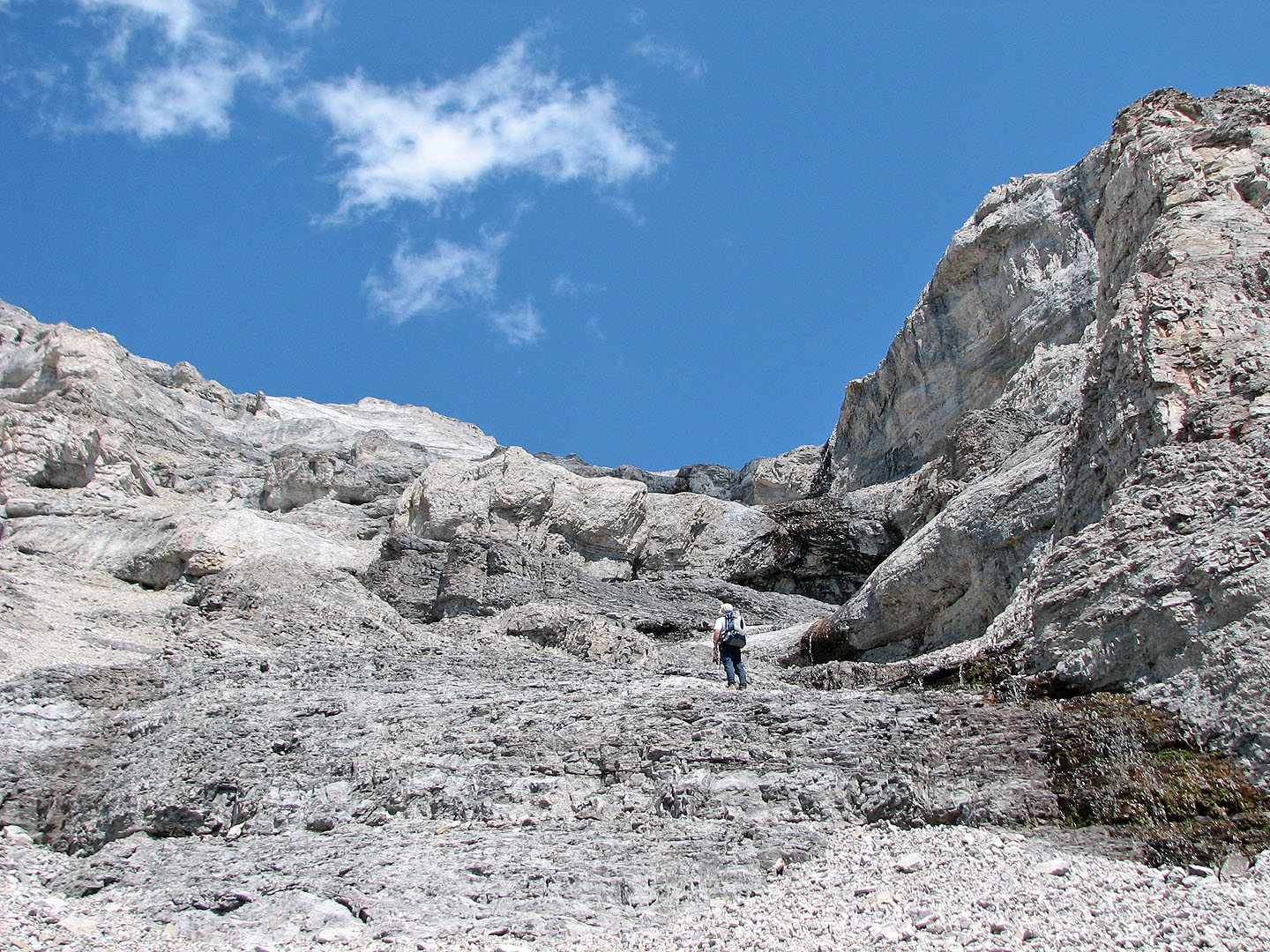
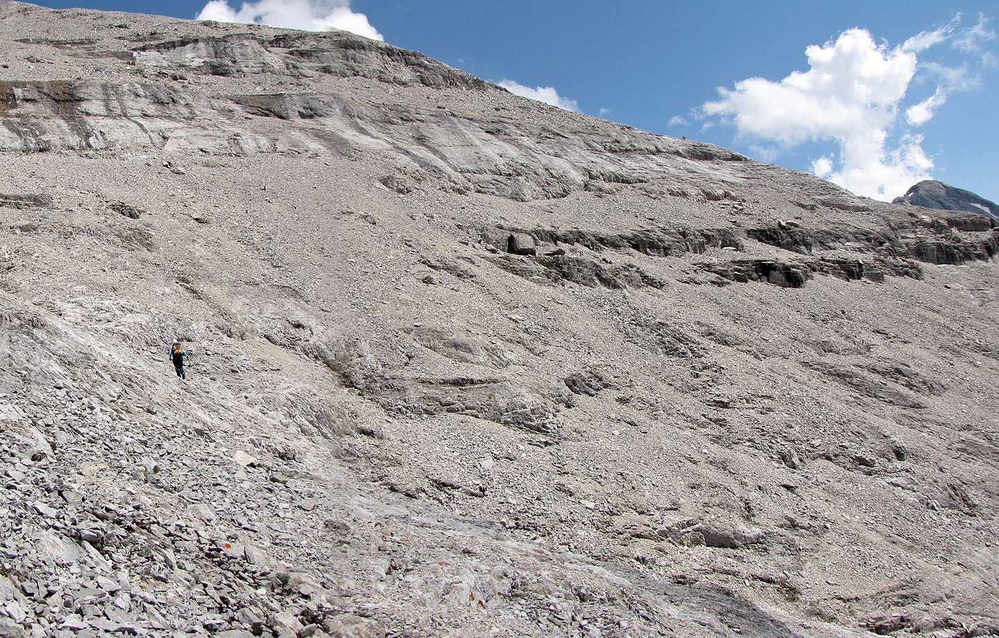
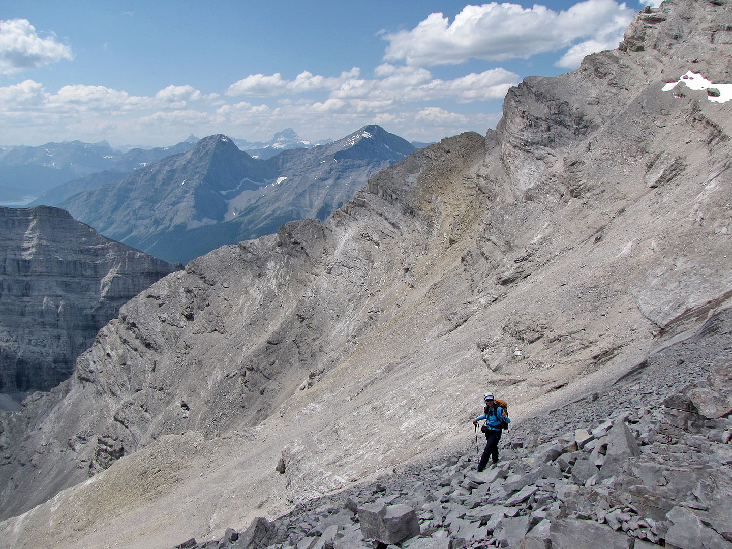
Once on the ridge, it's a scree slog to the summit ridge
Spray Lakes appear as we near the crest
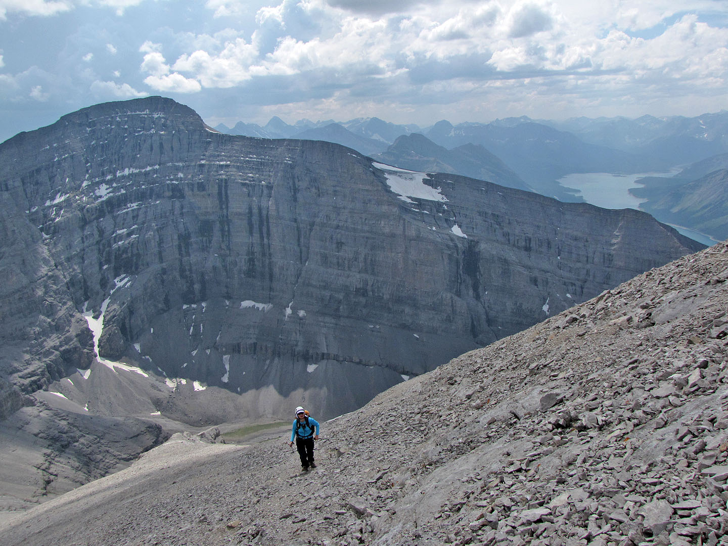
Southwest views include
Mount Collembola, Mount Allen, Lougheed 3, and
Wind Mountain
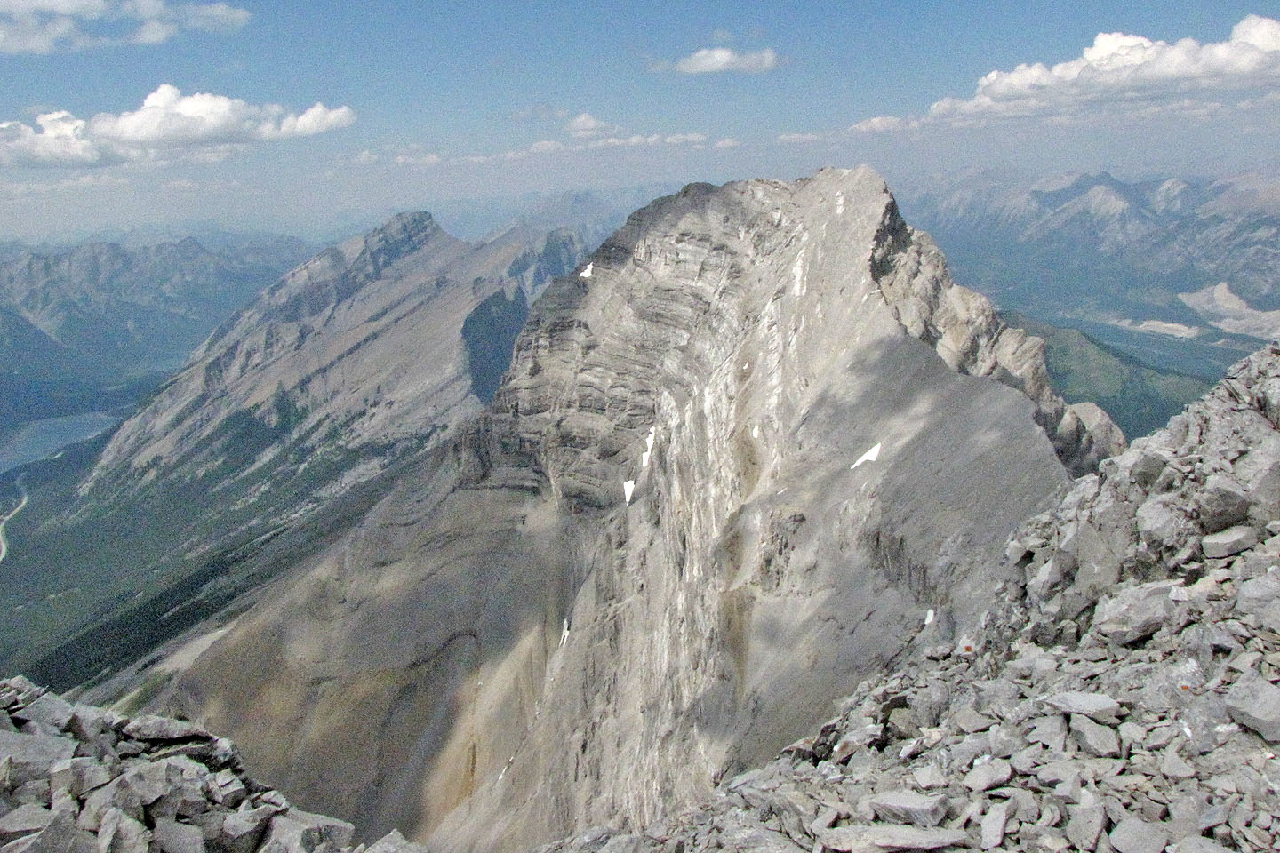
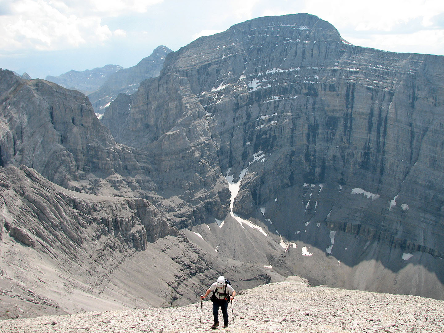
Lougheed 1 lies northeast
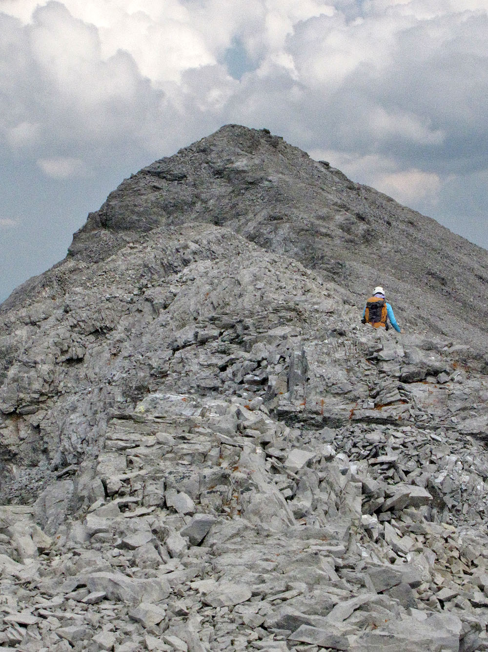
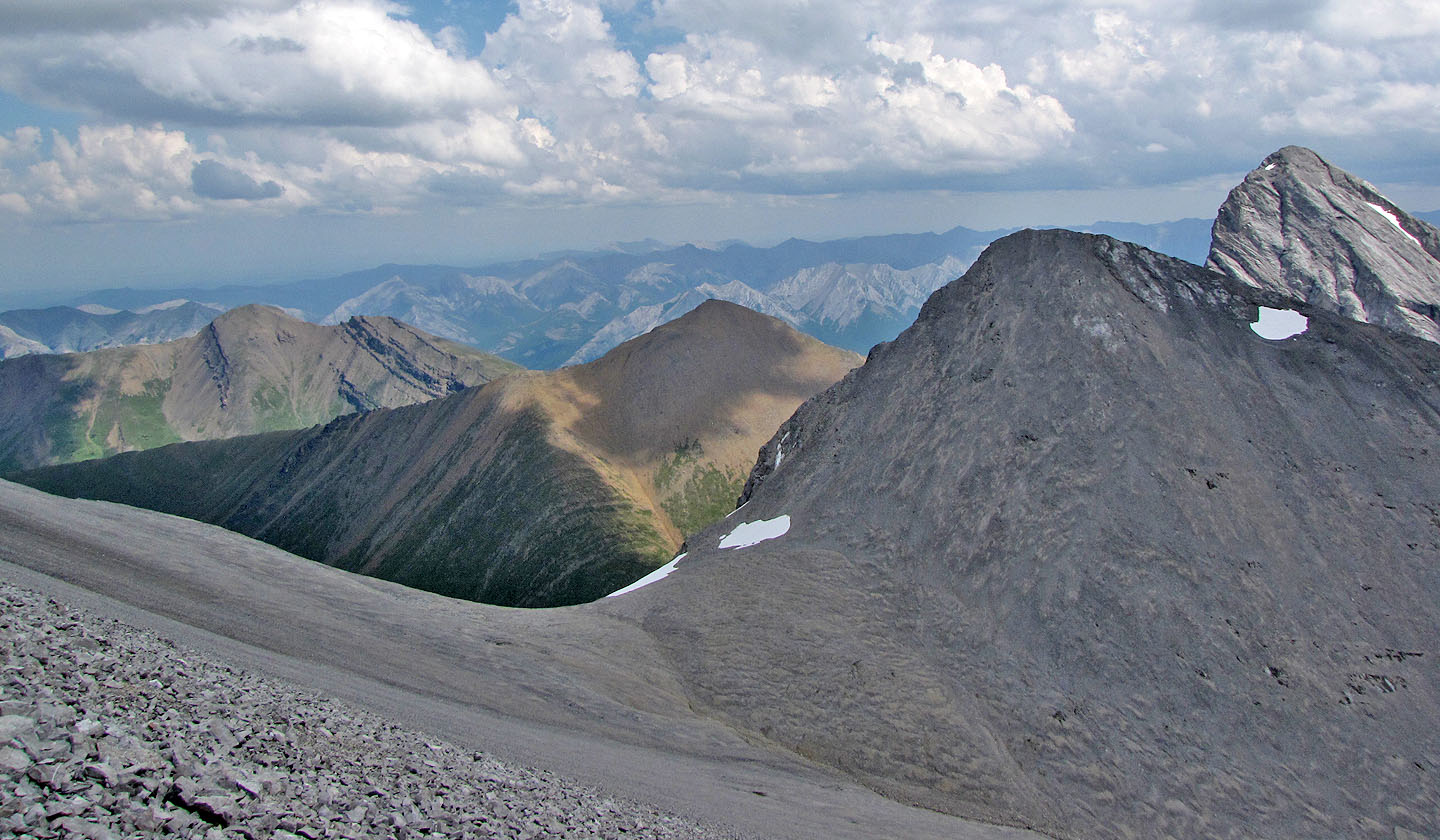
The summit lies ahead
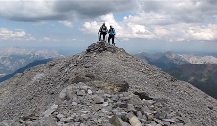
On the summit
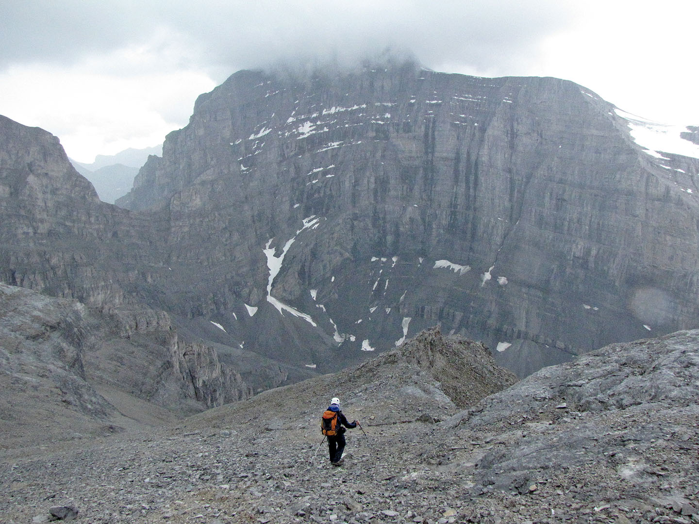
Heading down on the edge of the storm
Starting down after our break
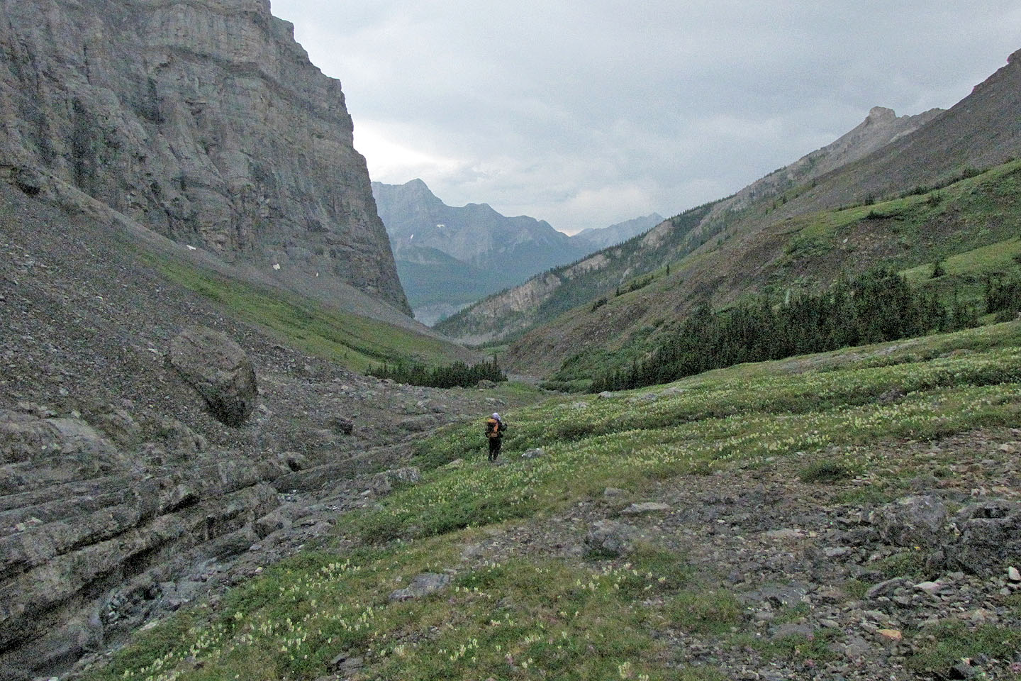
Heading back down the drainage.
Little Lougheed on
the right.
82 J/14 Spray Lakes Reservoir