bobspirko.ca | Home | Canada Trips | US Trips | Hiking | Snowshoeing | MAP | About
Odlum West Peak
Kananaskis, Alberta
September 29, 2024
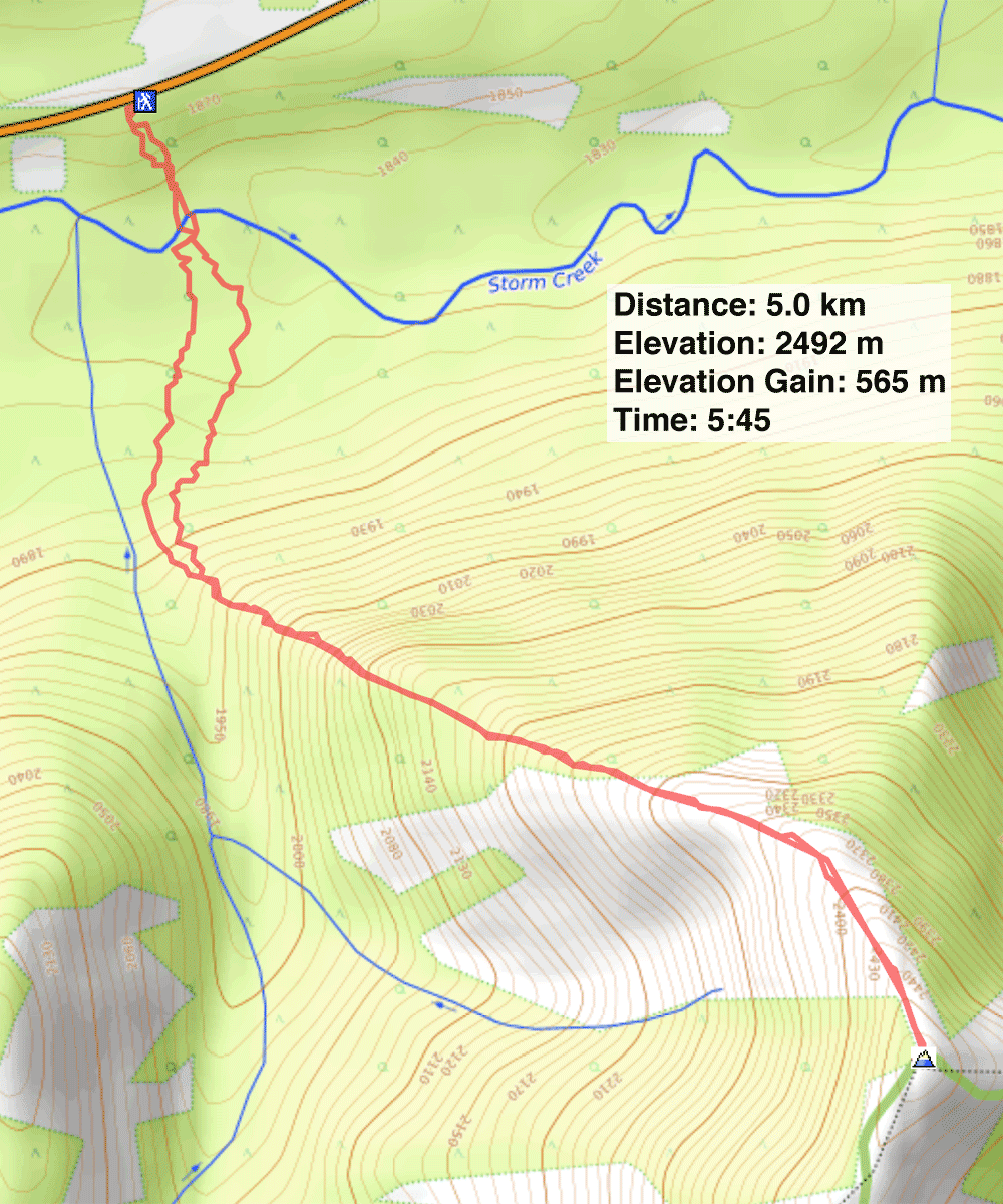
Distance: 5.0 km (3.1 mi)
Cumulative Elevation Gain: 703 m (2306 ft)
For this year's larch hike, we turned to the West Peak of Odlum Ridge. Kananaskis Country Trail Guide suggests using an “intermittent trail” to reach the northwest ridge and follow it to the summit. Zora, Christine, Suzy and Mikako joined me.
We parked by the roadside where we found flagging and a cairn. We started down a vague trail but it soon disappeared. We continued down a steep bank to Storm Creek and crossed the calf-deep water.
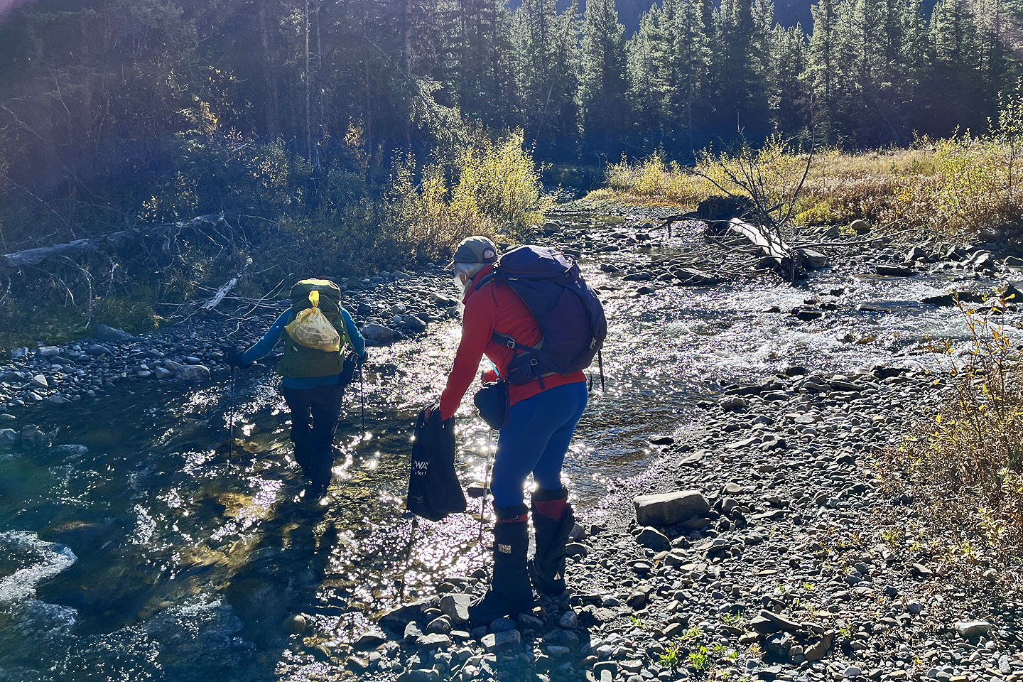
Storm Creek splits upstream and rejoins where we crossed to create a grassy island. Rather than follow the overgrown bank around, it was simpler to cut across the island even though it meant two shallow creek crossings.
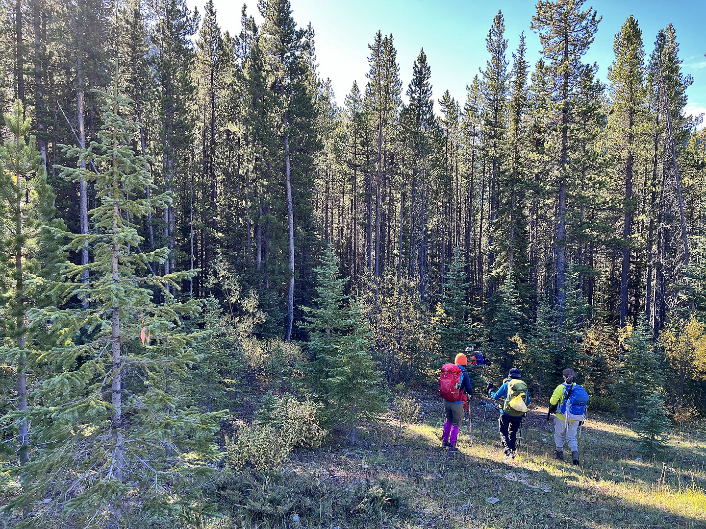
Referring to the map in the guidebook, I had hoped to come across the intermittent trail. However, there was no sign of one. We bushwhacked a kilometre to the end of the ridge. It was a challenging hike as the area is beset with dense rhododendron bushes and marshy sections. Fortunately, the marshes were mostly dry.
Our ascent up the ridge wasn't much easier initially as we confronted dense bushes and deadfall. But higher up, we happily reached pleasant meadows and began seeing yellow larches. There weren't many but they were a joy to see. What didn't ease was the steep grade until we broke out of the trees. The final ascent to the summit was open to the blue sky.
We lingered for some time on top before descending. After reaching the end of the ridge, we tried a different route to Storm Creek, but bushwhacking was no easier. We crossed the creek and were soon back at our cars.
 Flagging and a cairn mark the trailhead, but the trail soon disappeared
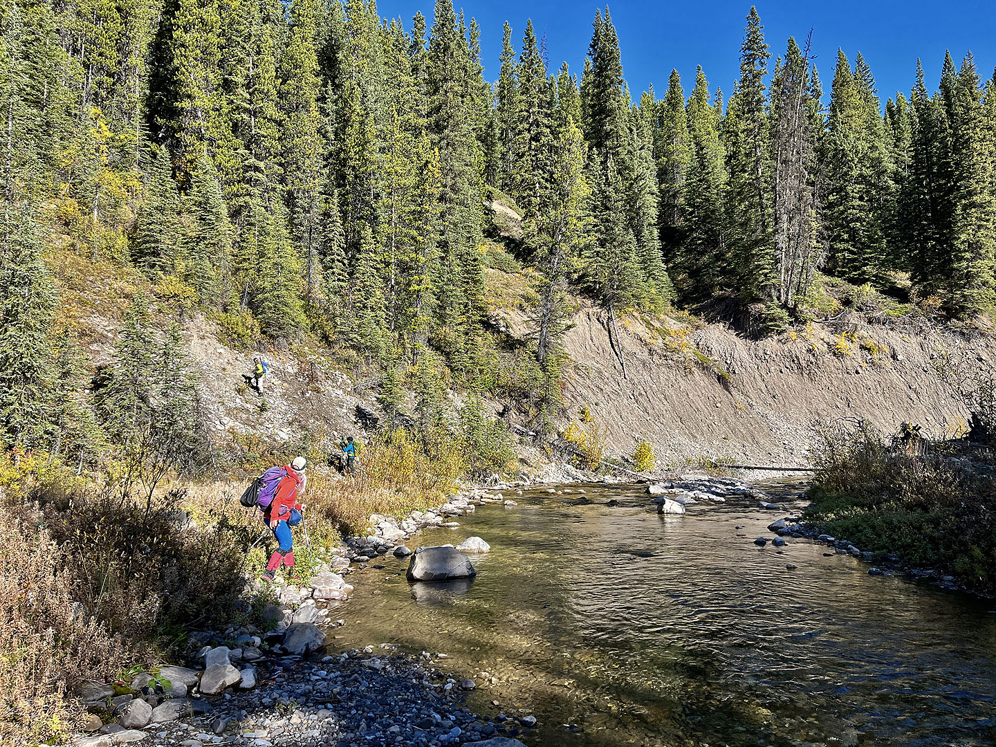 We dropped 40 m down to Storm Creek
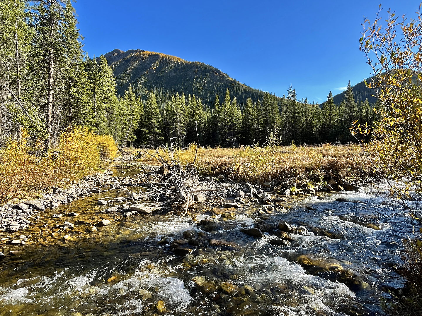
 The water was calf-deep
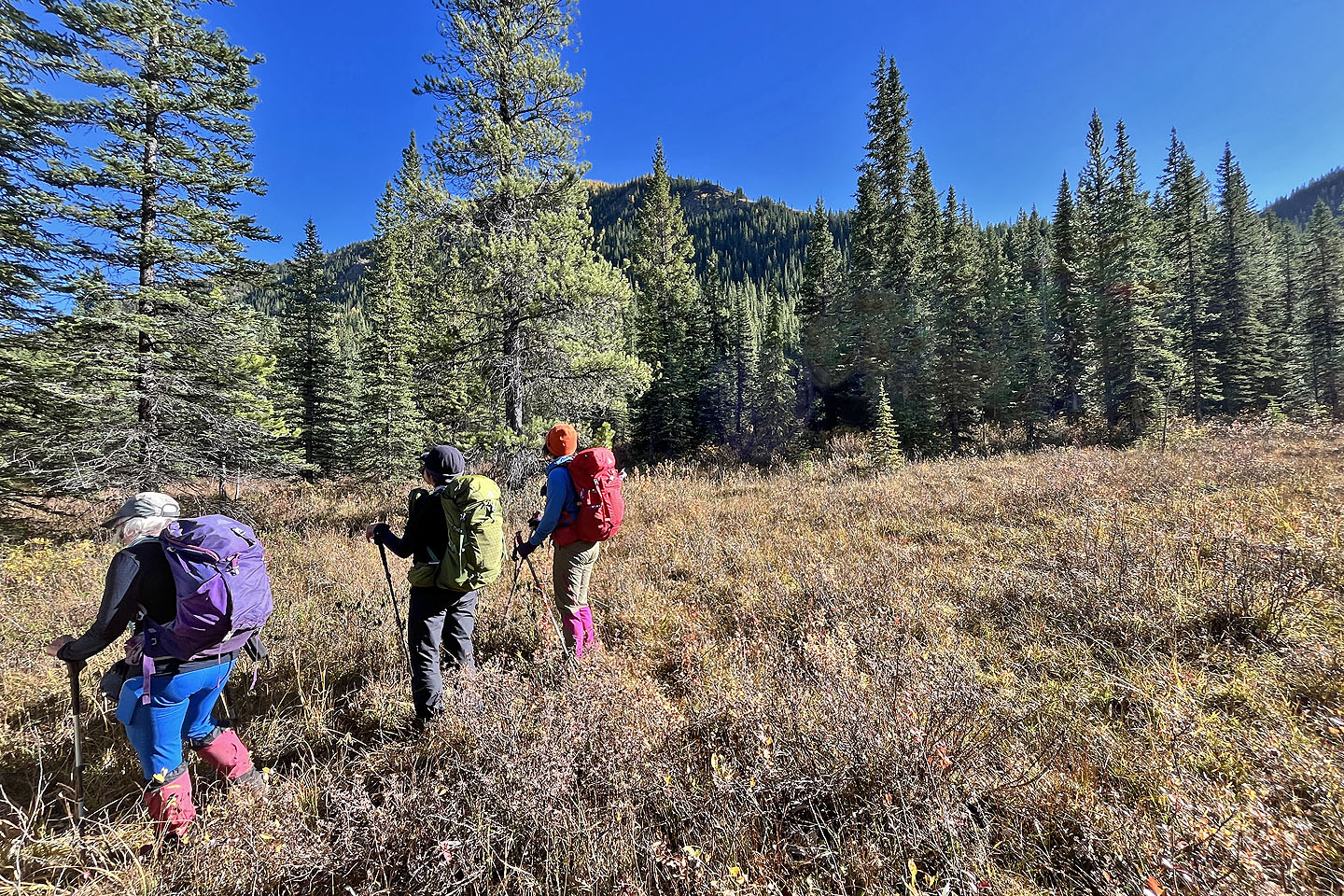
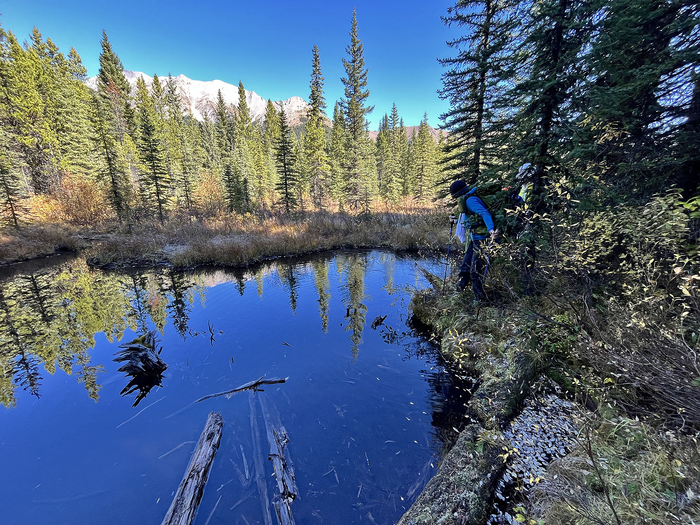 Skirting a pond after crossing a marsh
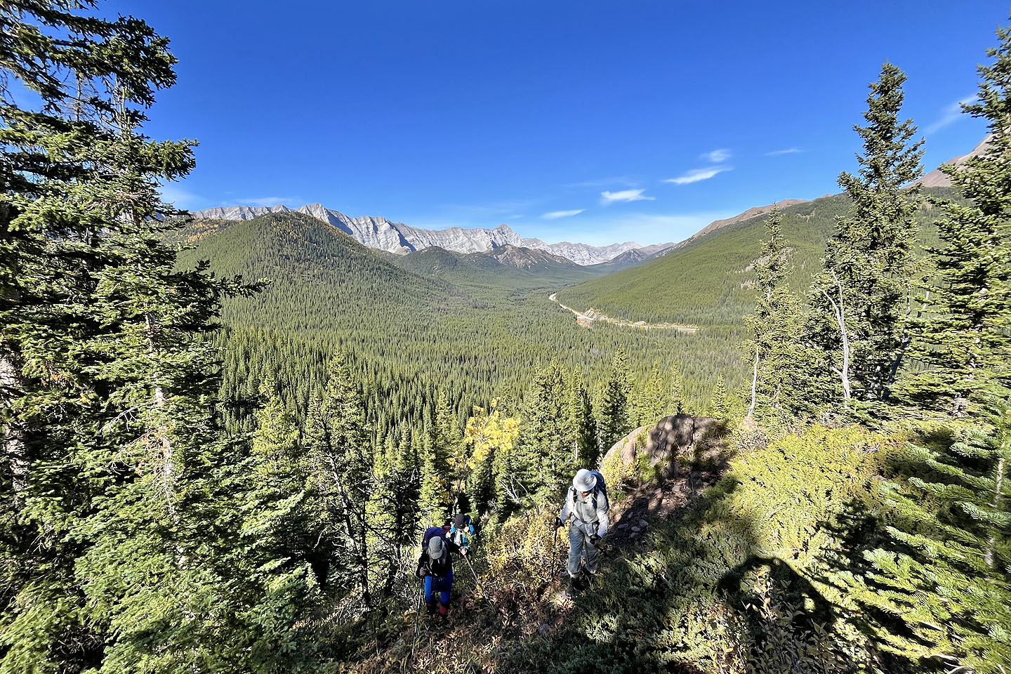
 We reached the end of the ridge
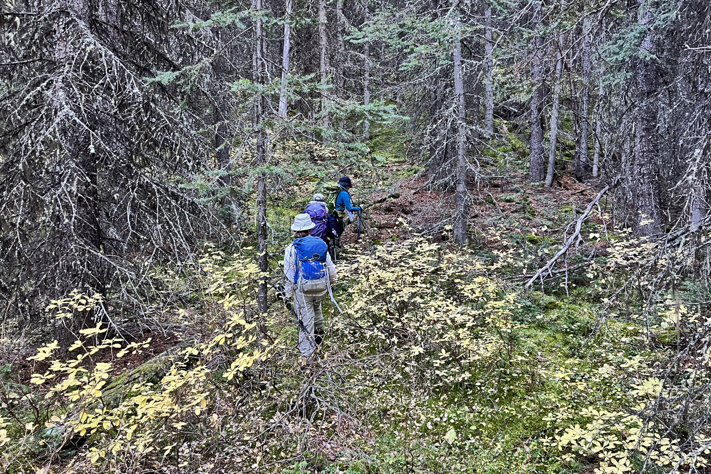
Hiking through the dense forest
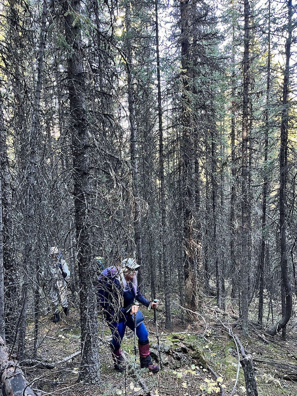
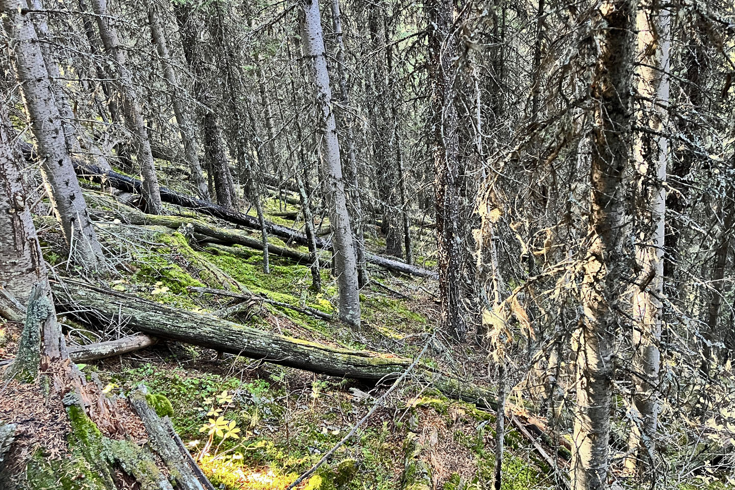 We encountered extensive deadfall
 Coming to a small clearing
 It was soon followed by a large meadow
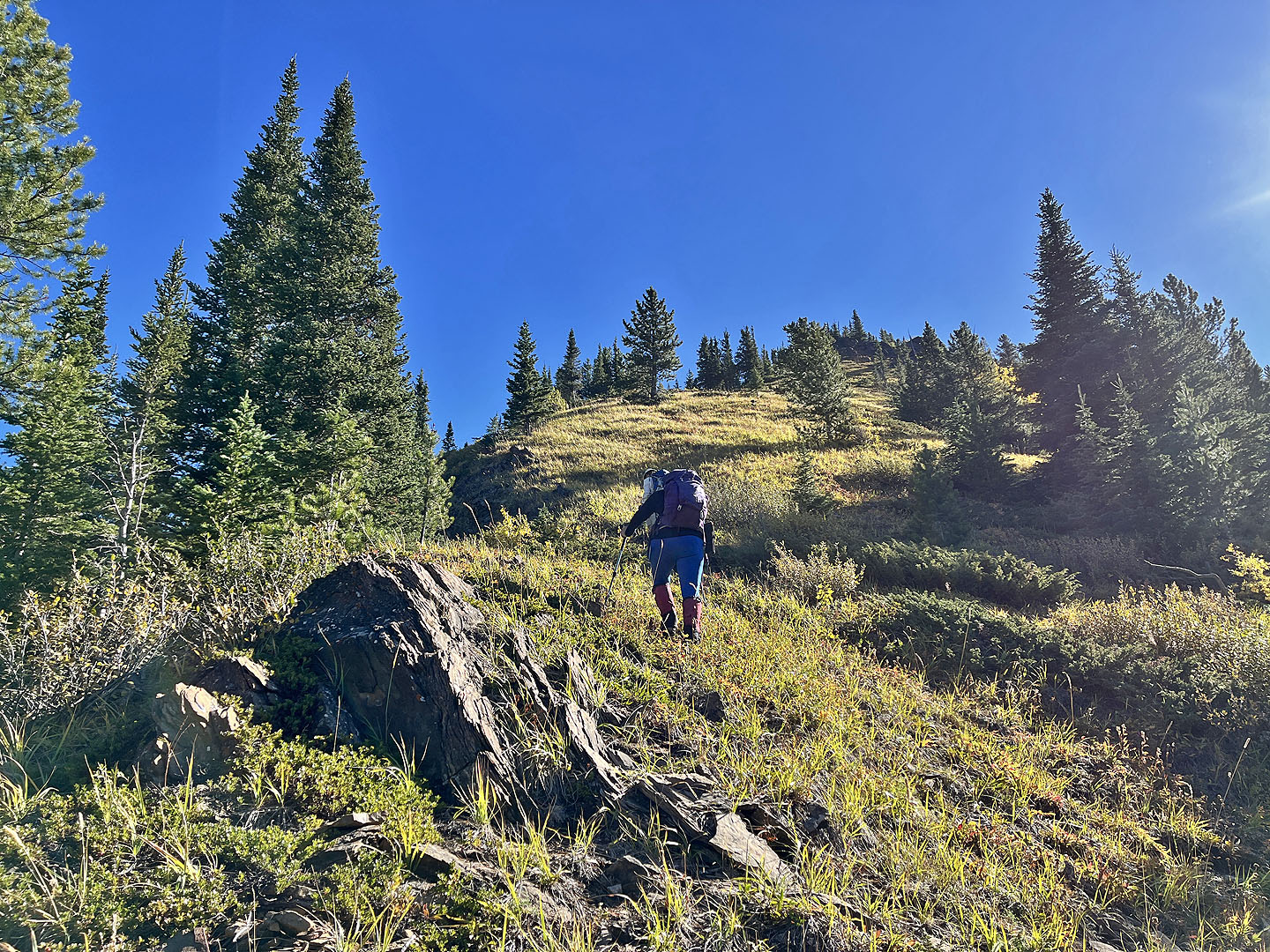
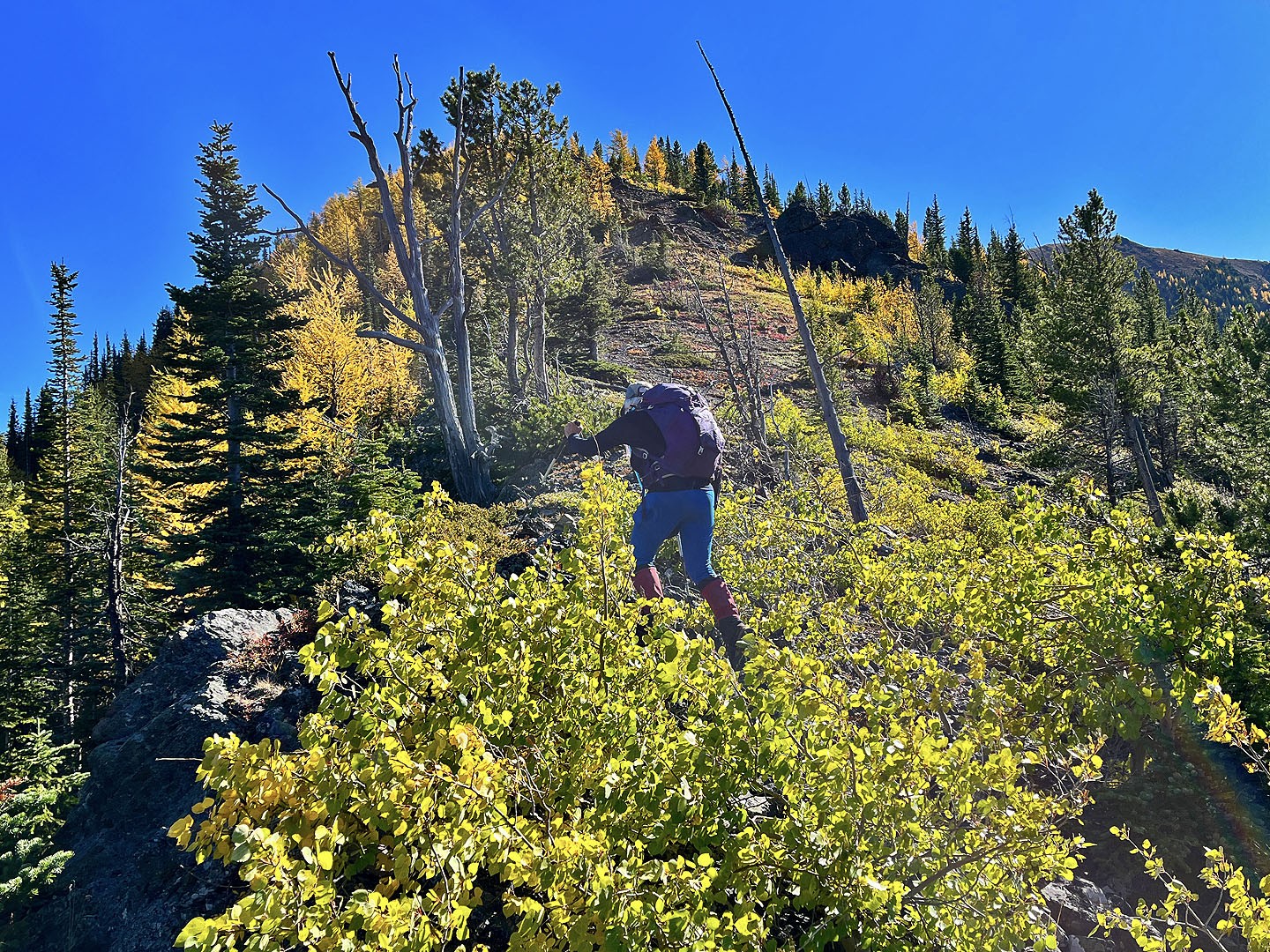
 Much of the climb was steep
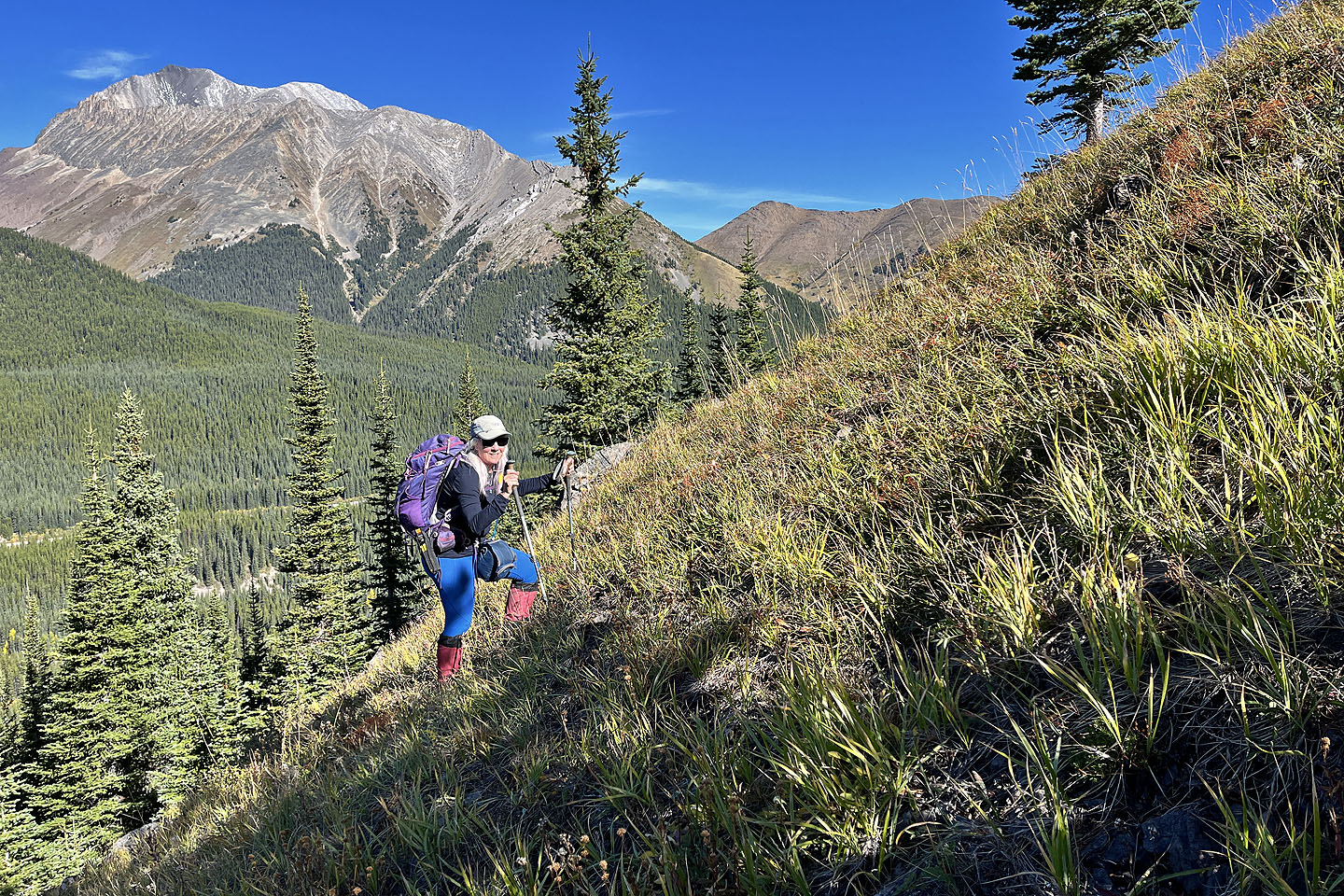
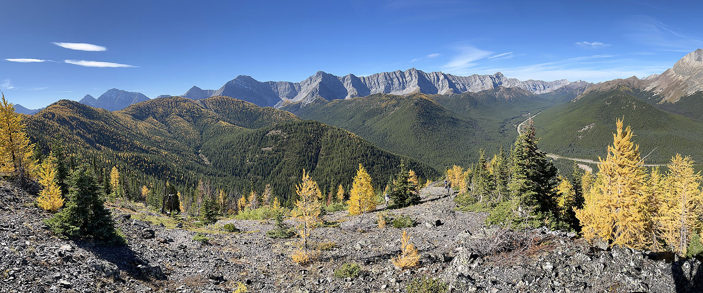
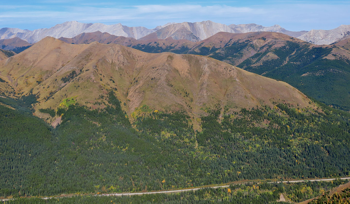
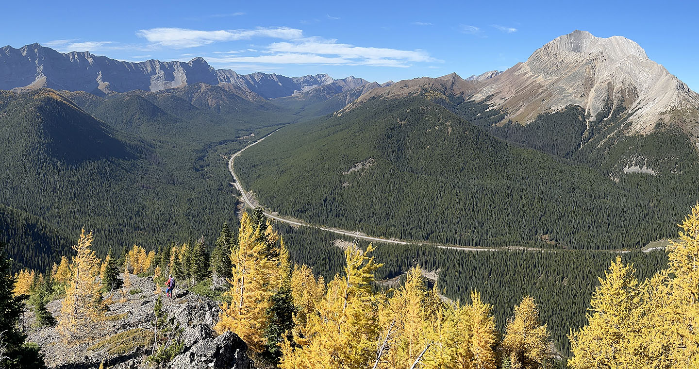
 Looking back at Highwood Pass
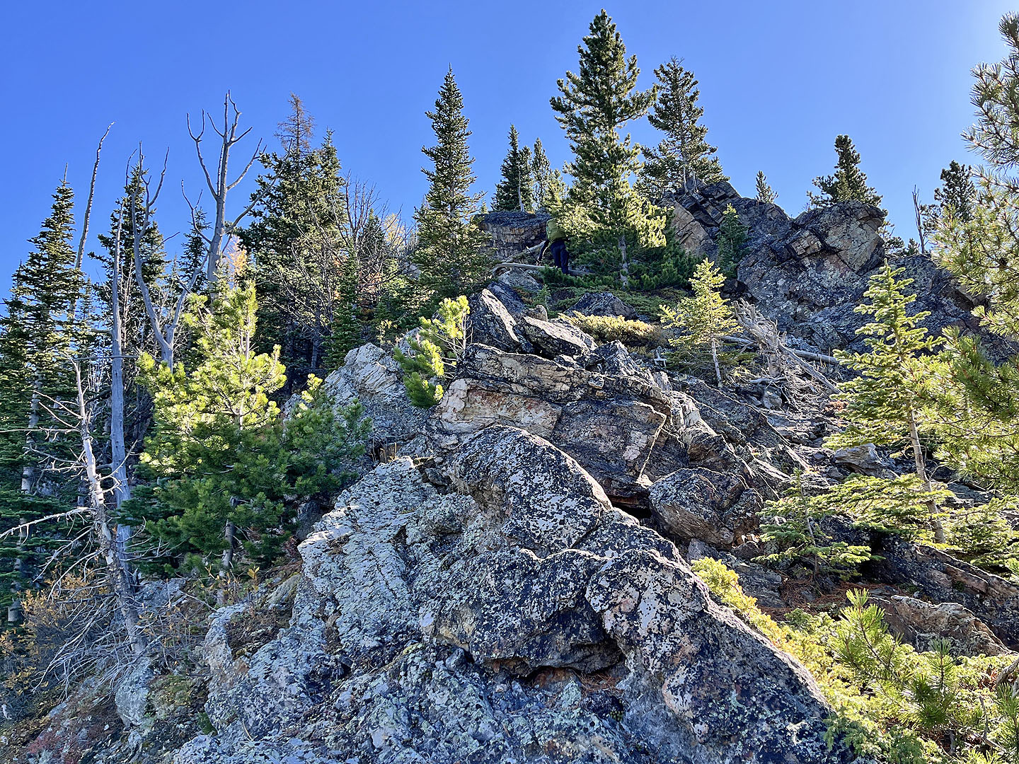 We hit a rocky section. Mikako, wearing a green pack, appears next to the tall tree (mouse over).
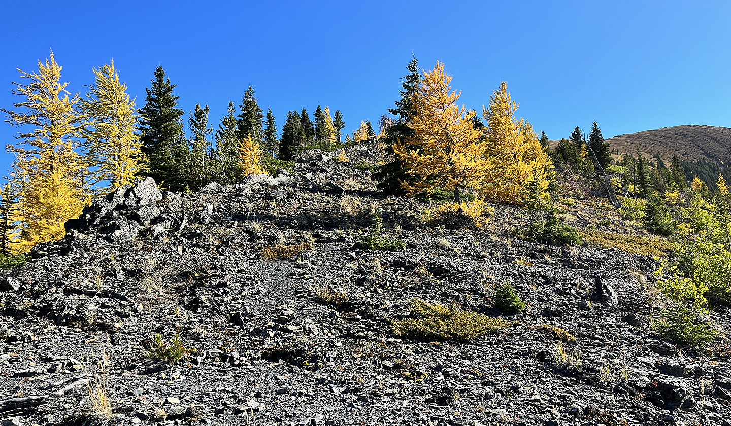
 We began seeing larches
 There weren't many larches on the ridge, but we enjoyed seeing them
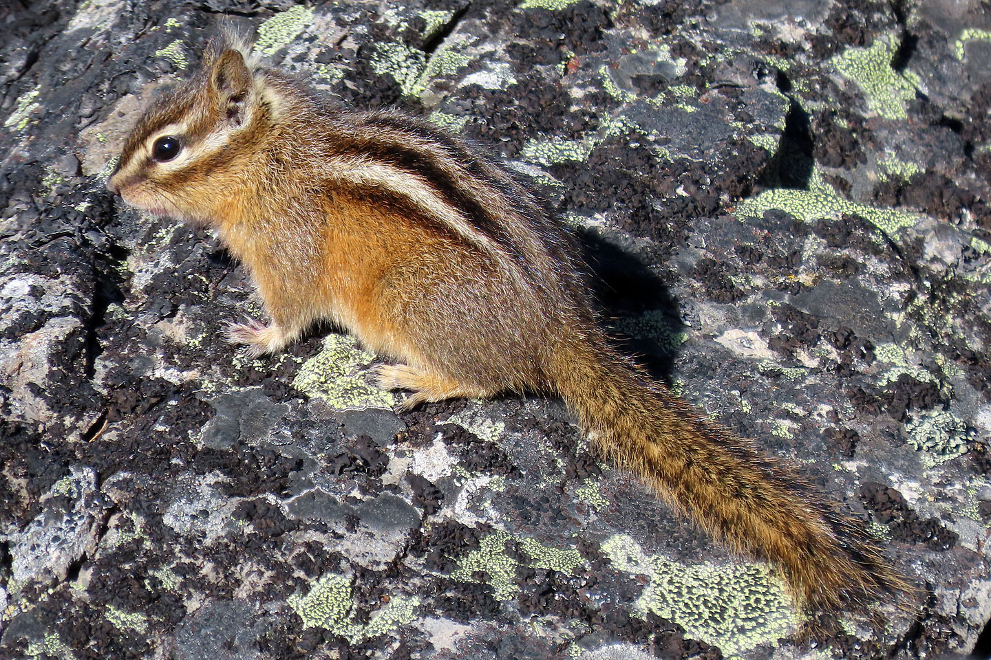 A curious chipmunk watched us before scurrying away
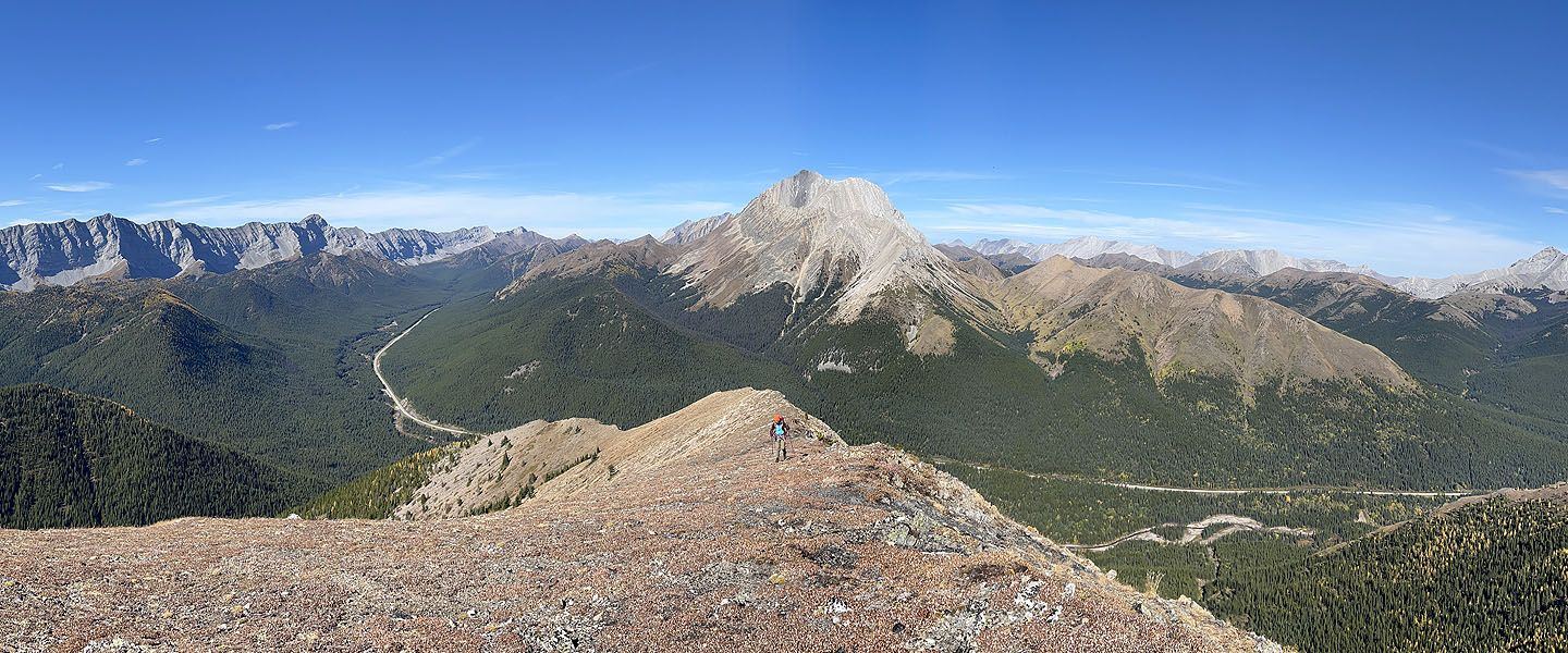
 The summit came into view on the right
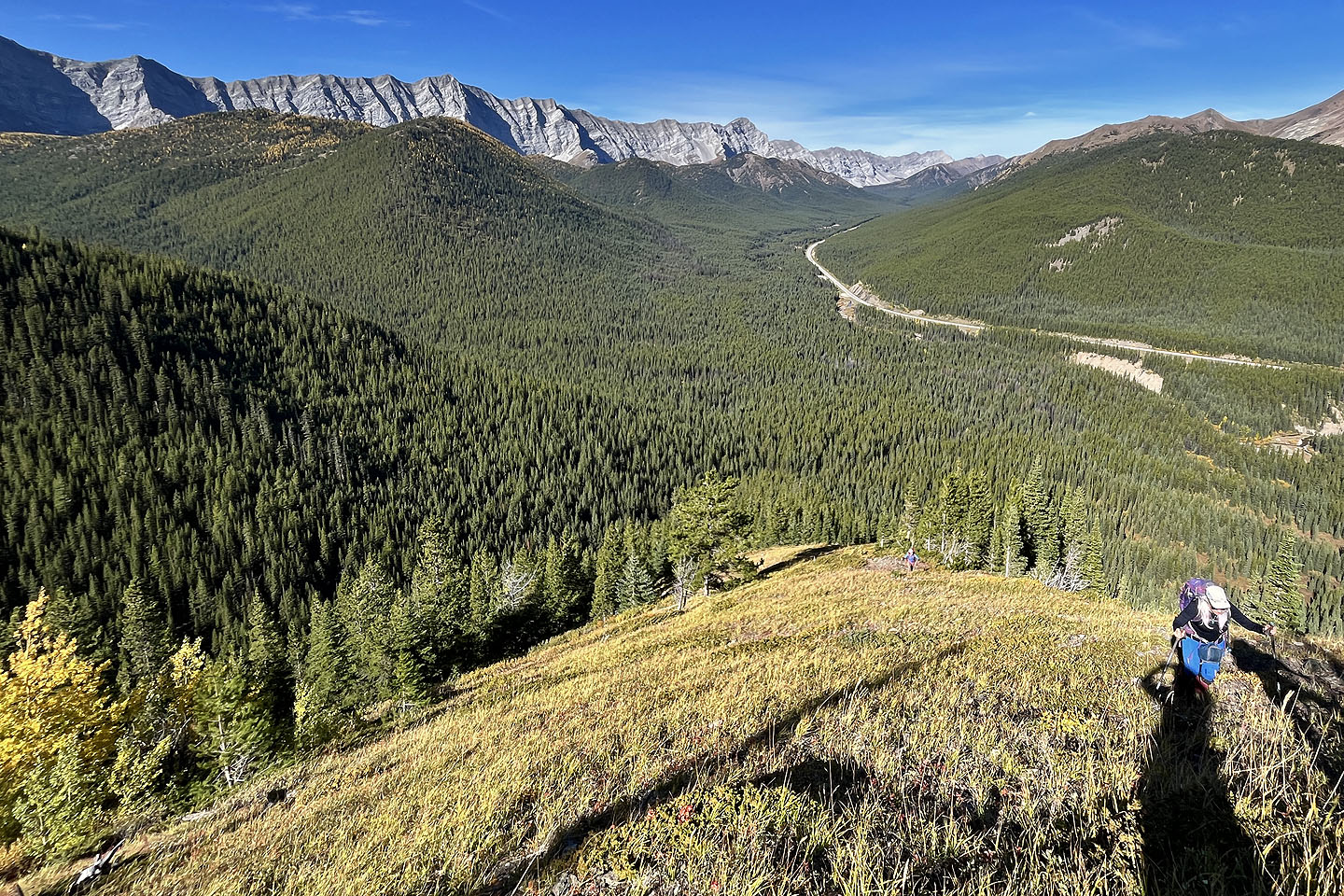
 Looking back
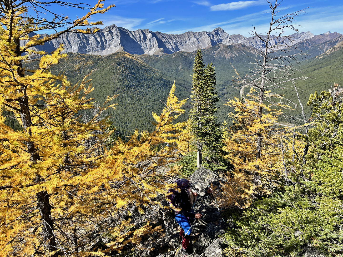
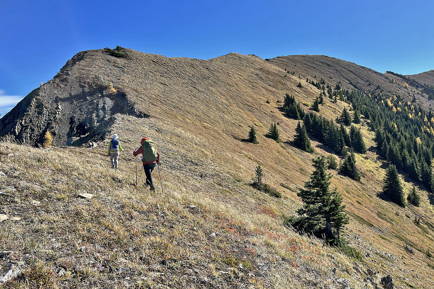 The final ridge section is open
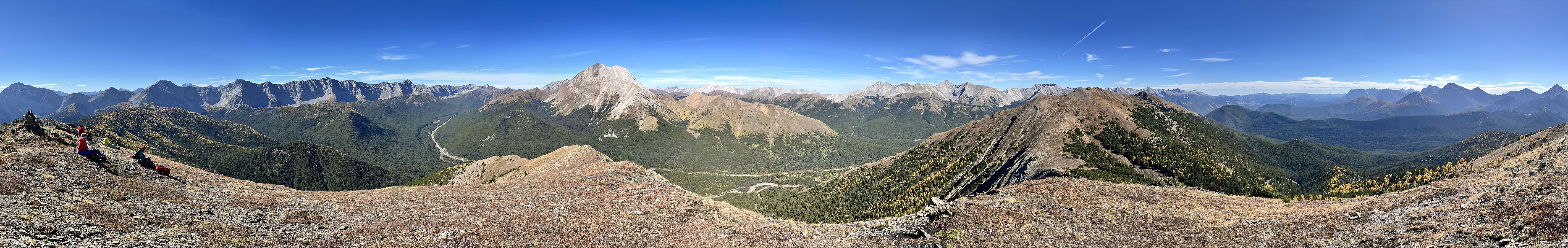
 Centre Peak appears left
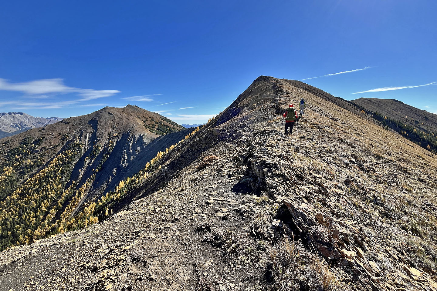
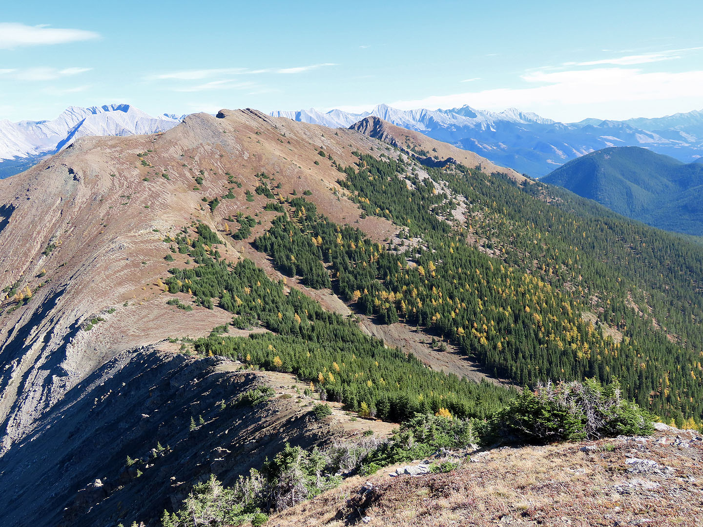
 Looking back along the ridge
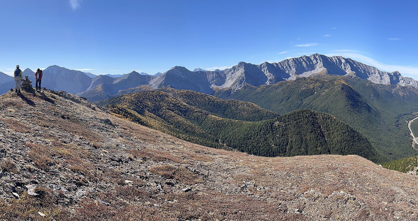
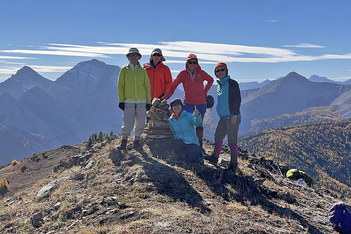 Zora, me, Mikako, Christine and Suzy on the summit
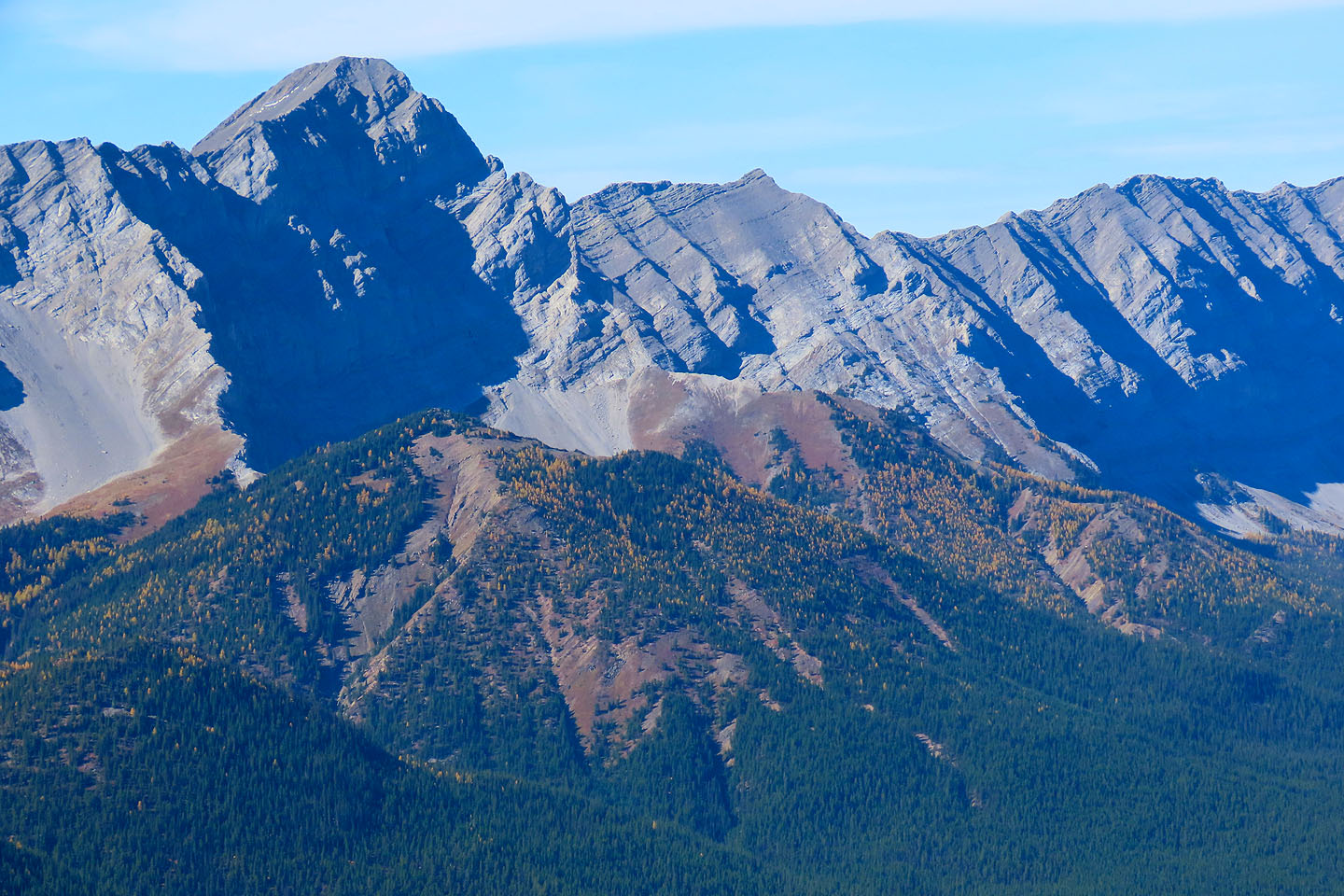
 Centre Peak and East Peak of Odlum Ridge. Mouse over to see hikers on Centre Peak summit.
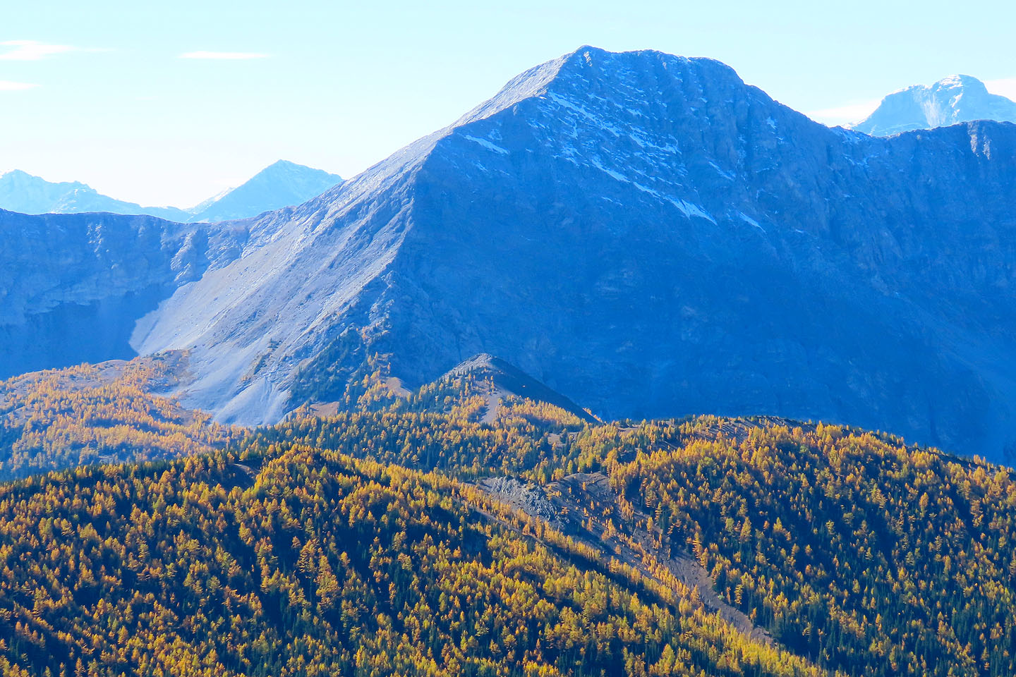
 Nearby, Mist Mountain overshadows Mount Lipsett on the left
 Nameless Ridge lies in front of Mist Ridge
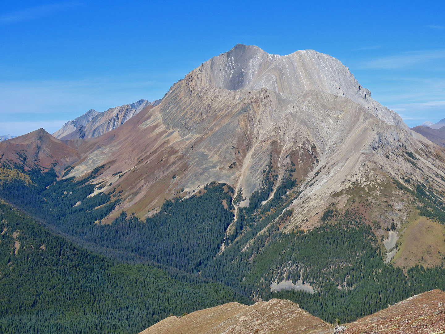
 The view west includes Mount Loomis, Mount Odlum, Running Rain Peak and Storelk Mountain (mouse over)
 A close-up of Mount Odlum. The tiny point below, Odlum Knoll, is another larch hike.
 A close-up of Storelk Mountain. The East Ridge (below and right) is another larch hike.
 Heading back down
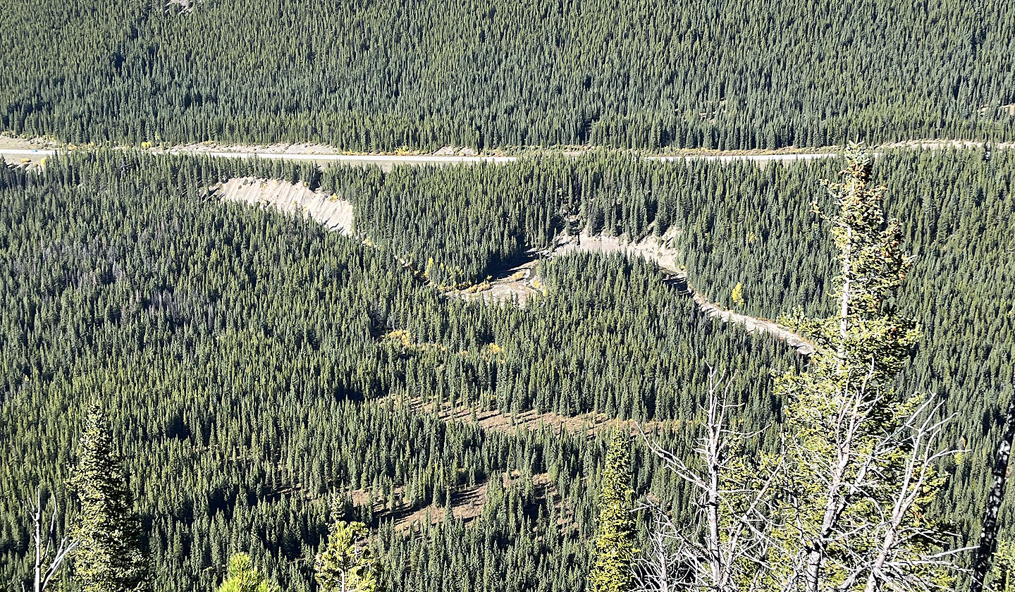 Looking down at the island (centre) where we crossed Storm Creek. The clearings are marshes.
 Fortunately the marshes were mostly dry when we crossed them
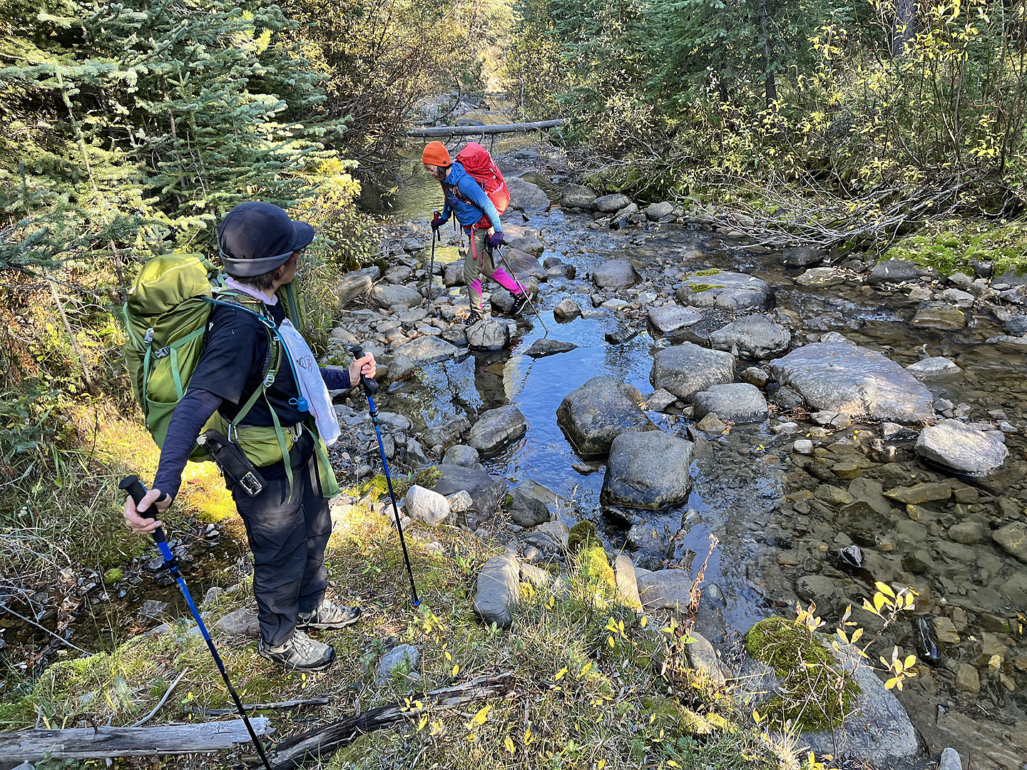 Crossing a stream before Storm Creek
 Looking back at the island and the ascent ridge
82 J/10 Mount Rae