bobspirko.ca | Home | Canada Trips | US Trips | Hiking | Snowshoeing | MAP | About
Nameless Ridge
aka Eagle Ridge
Kananaskis, Alberta
July 11, 2020
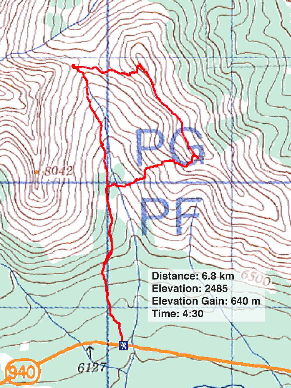
Distance: 6.8 km (4.2 mi)
Cumulative Elevation Gain: 713 m (2339 ft)
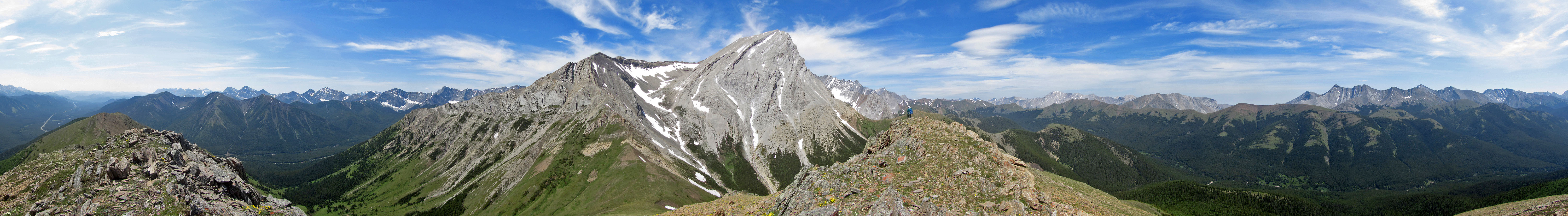
Nameless Ridge is overshadowed by popular Mist Mountain, but it's worth considering for a short hike. Both mountains use the same approach, a trail to Nameless Col. From the col, it's a 183 m climb to the summit of Nameless Ridge. Instead of hiking out and back, we discovered an interesting approach that includes a one-kilometre ridgewalk before looping back to the col.
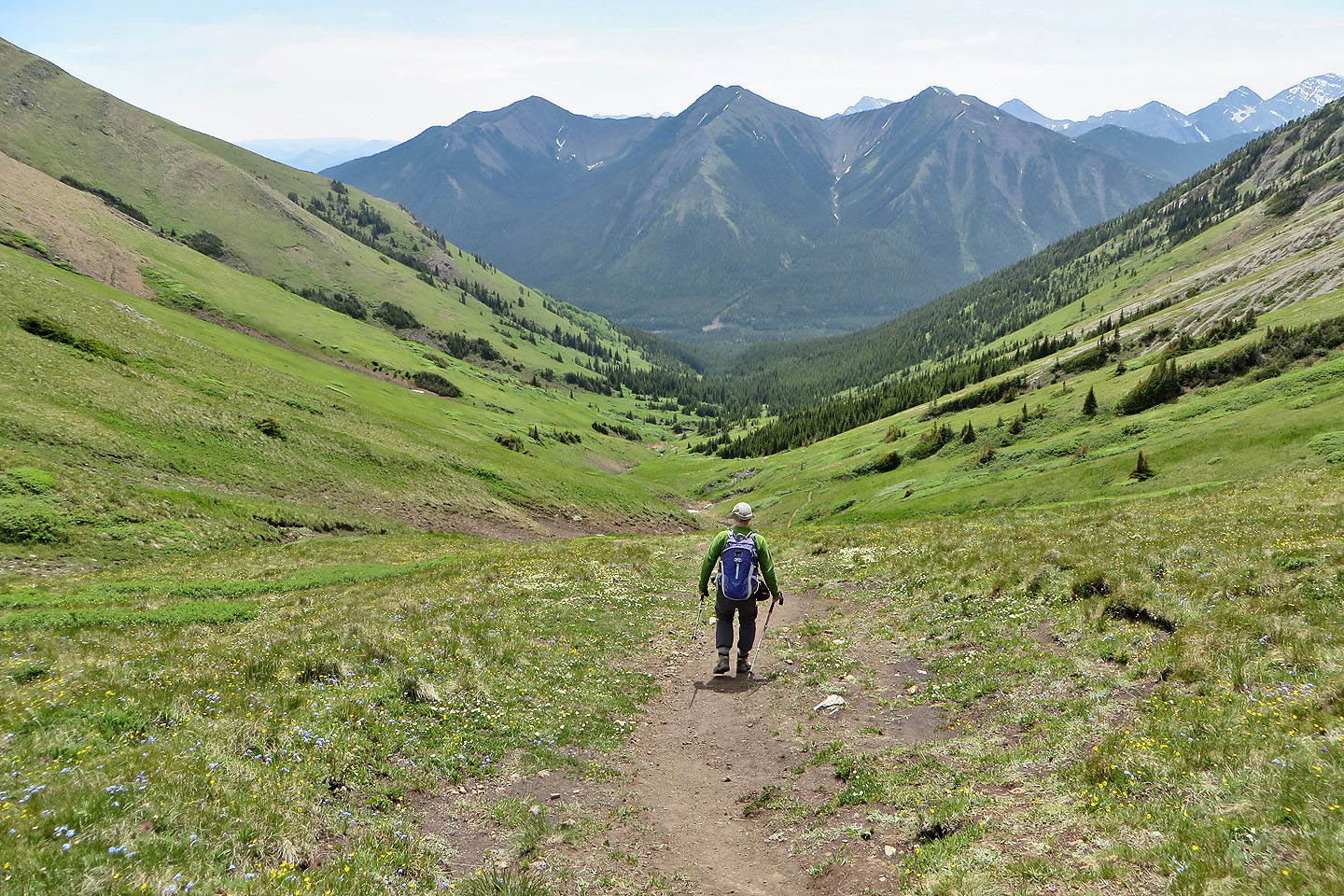
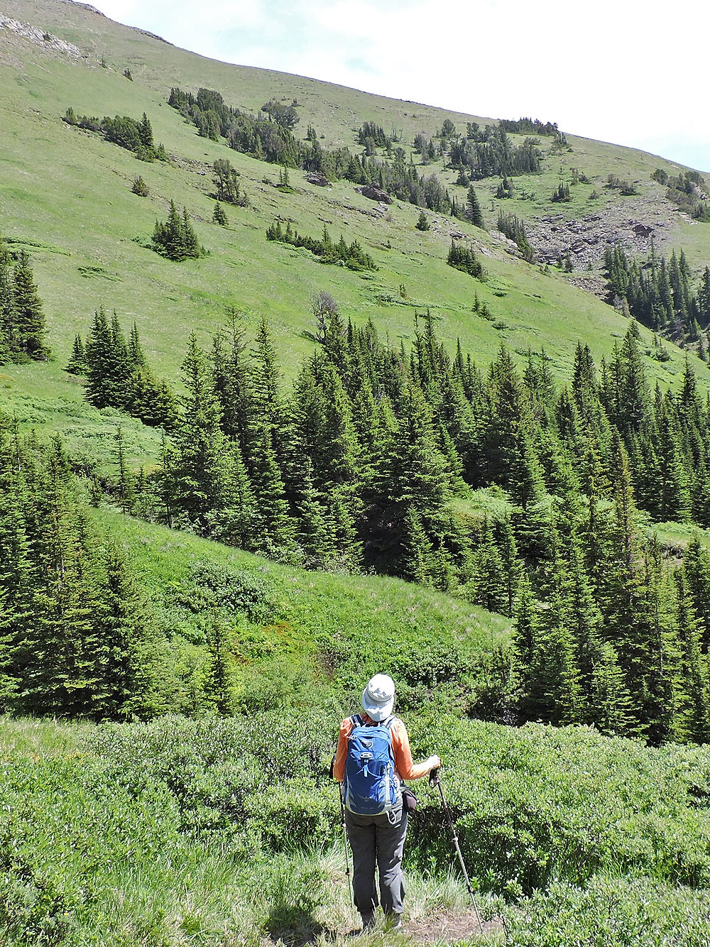
As Dinah and I hiked to the col, we looked for a break in the wall of dense trees on our right. After going 1.4 km up the trail, we found it. Leave it to wild animals to beat the shortest path to water. The path – a mere 60 m long – leads to a nameless stream. Deadfall over the stream blocks the way, but we went around it, crossed the stream, and climbed the bank on the other side. After hiking through a few trees, we reached the bottom of a vast grassy slope.
We gravitated to an outcrop above us that stuck out of the mountainside, a pulpit-like rock that invited posing on. From there, we had a sweeping view of the valley below. But we didn't pause; we continued up the slope.
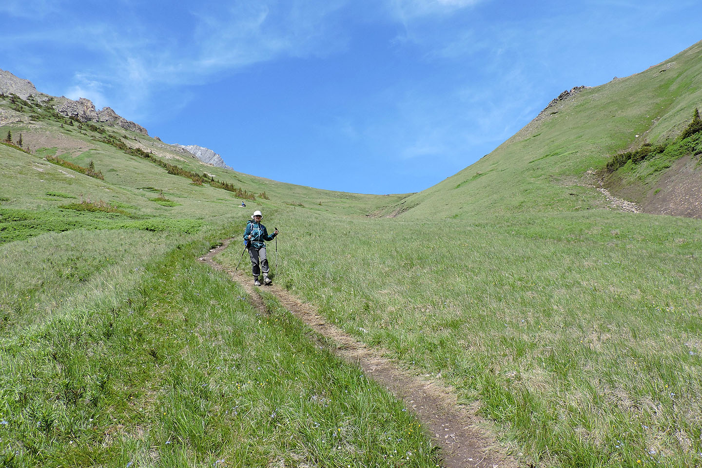
We stuck close to the drainage on our right until it faded into the mountainside. Then we angled right, to the end of a rocky ridge. It can be circumvented, but we scrambled up it. From there it was a short distance to the ridge.
The rest of our journey unfolded as planned. We followed Nameless Ridge to the summit and aided by soft scree, we descended to the col. We did, however, hike up the other side of the col. Not only did we have a fine view of Nameless Ridge, but we noticed several people lounging around Mist Mountain Hot Springs. Then we followed the trail back to the trailhead.
Even with a fresh approach, this ridge is unlikely to make a name for itself as a climbing goal. After all, it is called Nameless! But maybe this route, with a hike up a meadow and a short ridgewalk, will add incentive for anyone considering going up Nameless Ridge.
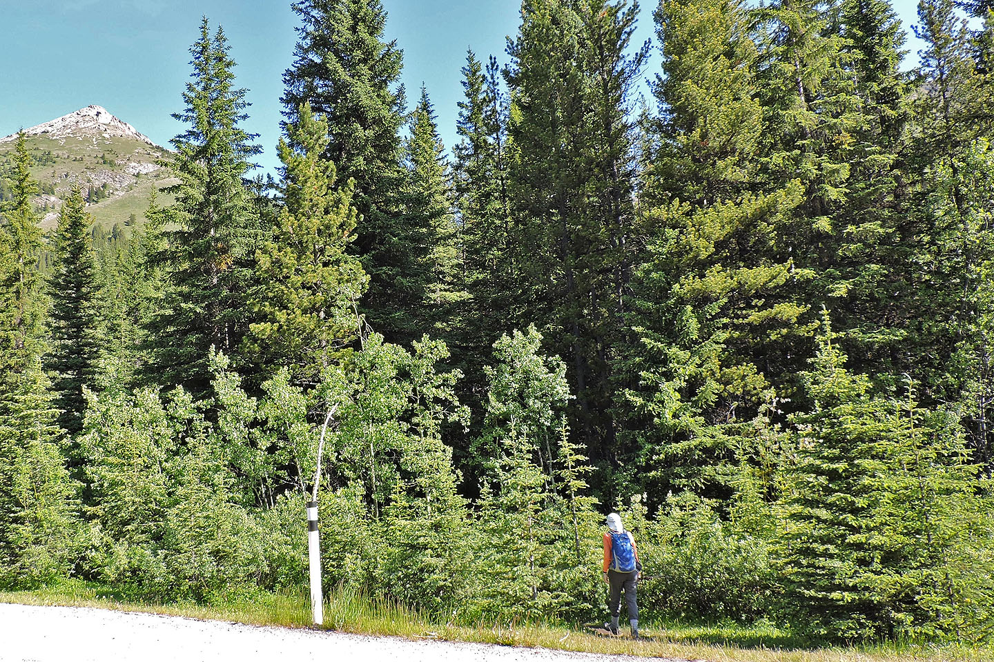
A stick in a highway pole marks the trailhead
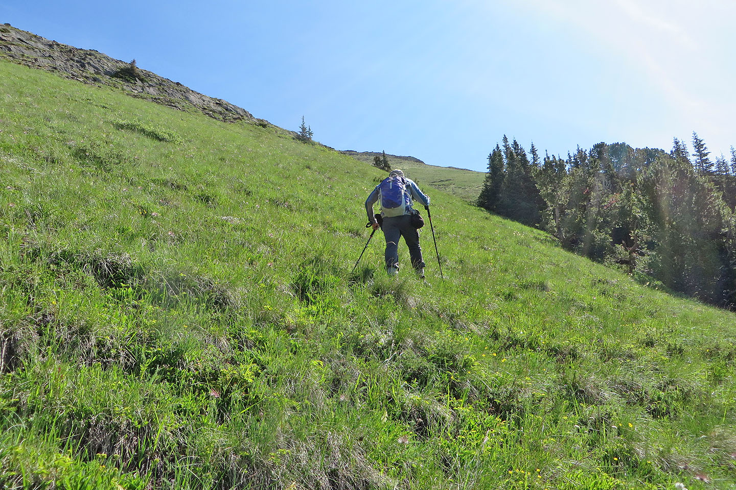
It didn't appear possible to reach the meadow without losing elevation
and without extensive bushwhacking
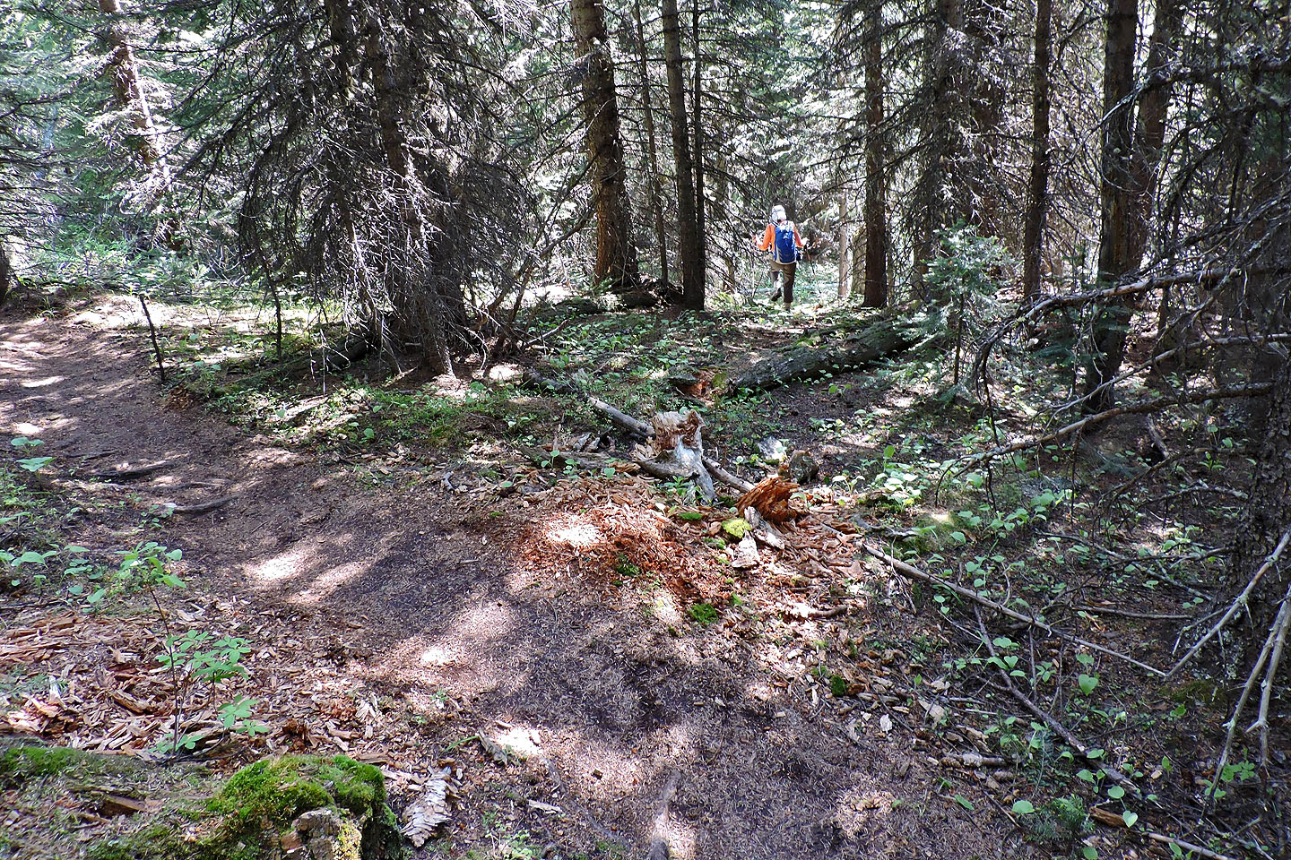
Then we found a short animal trail
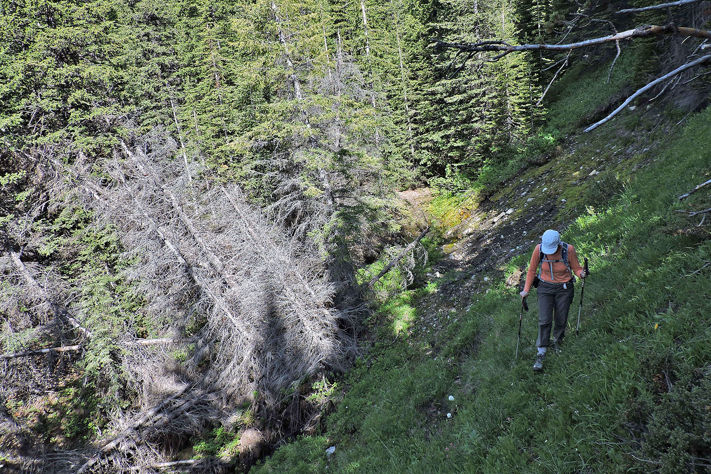
Looking back after crossing the stream. The path ends at the deadfall, but we went upstream to get around it.
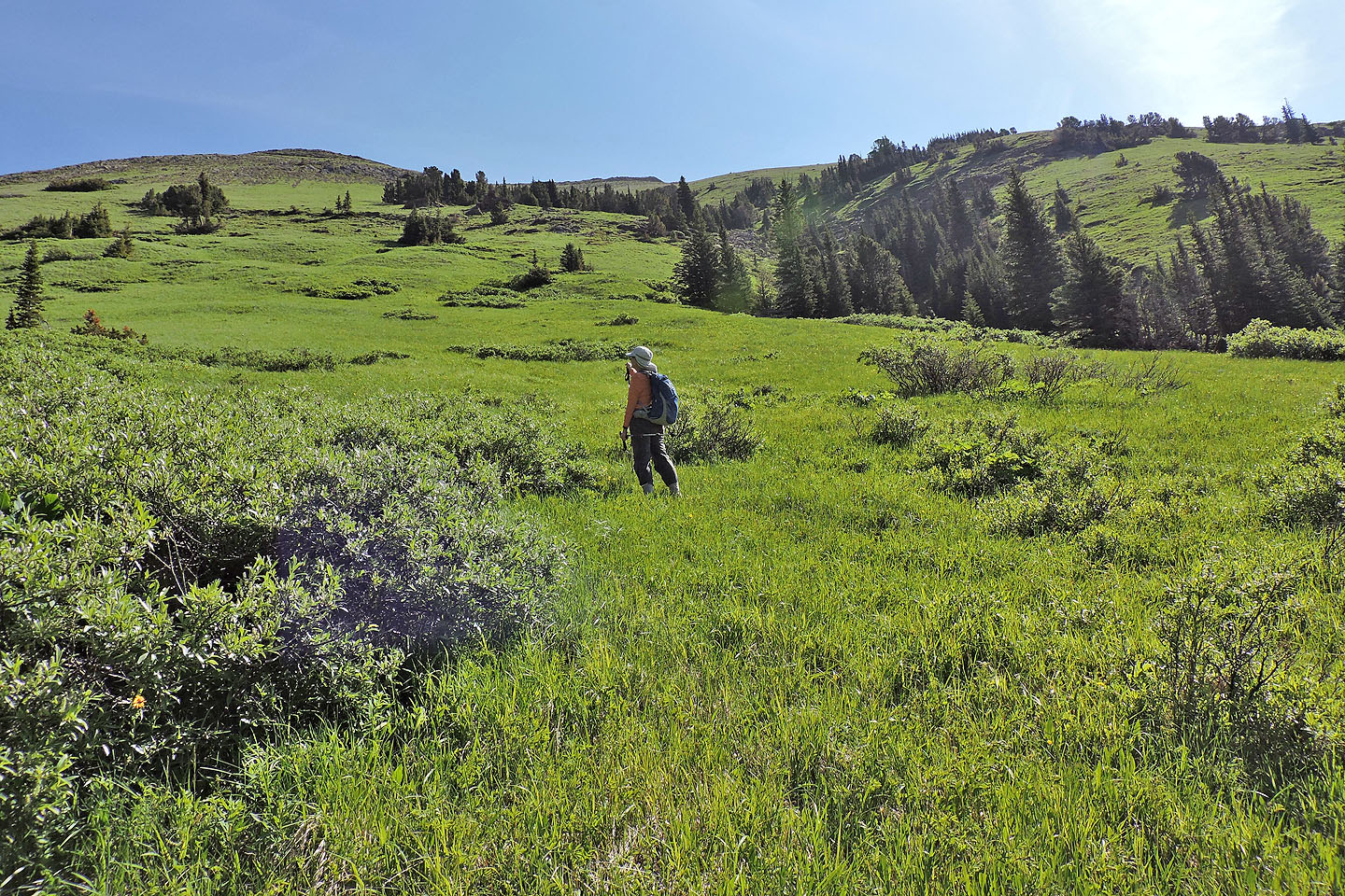
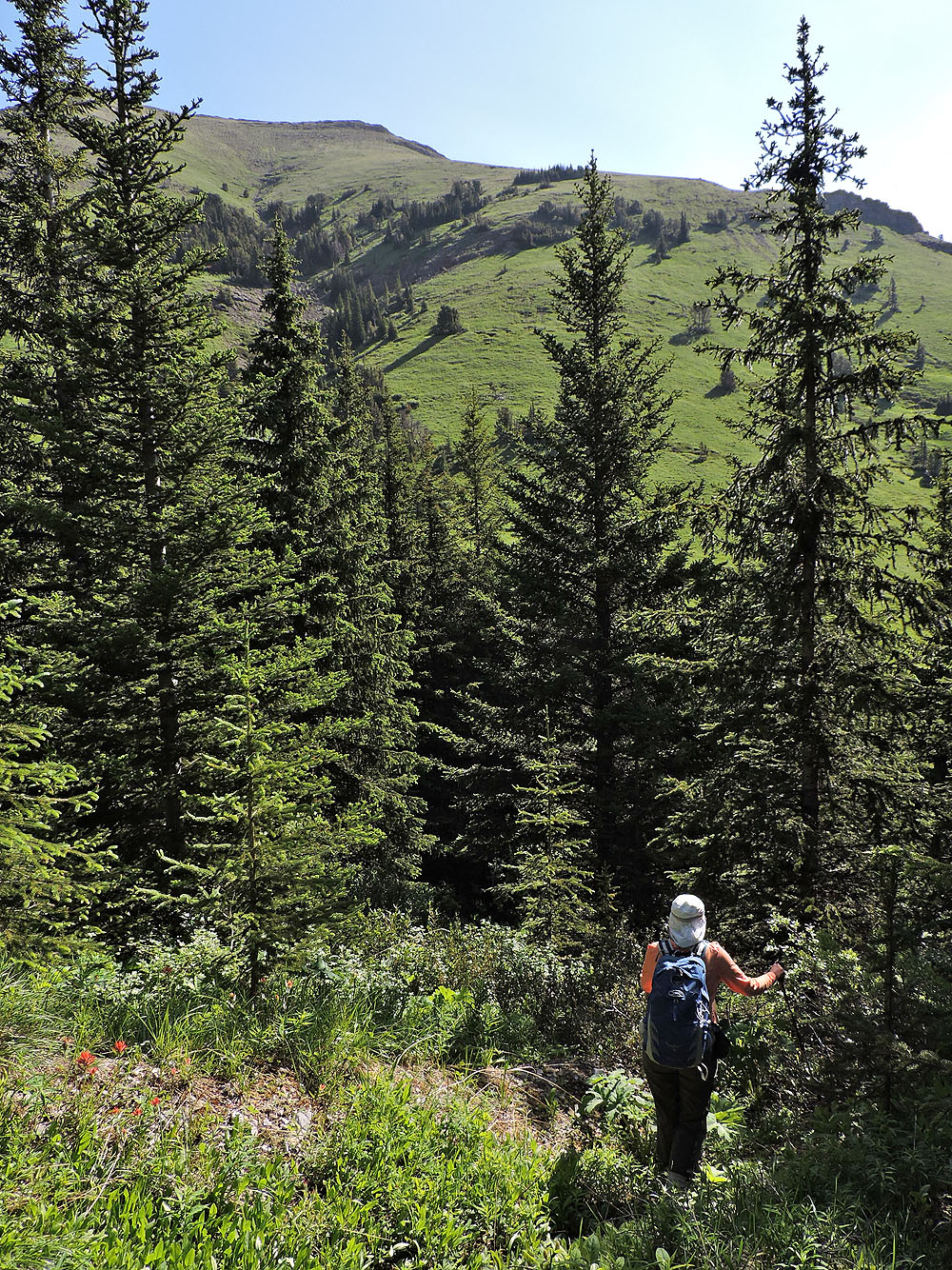
After going through a few trees, we reached the bottom of a lush meadow
Nameless Col came into view

An outcrop makes a nice pulpit
Dinah passes the outcrop I stood on
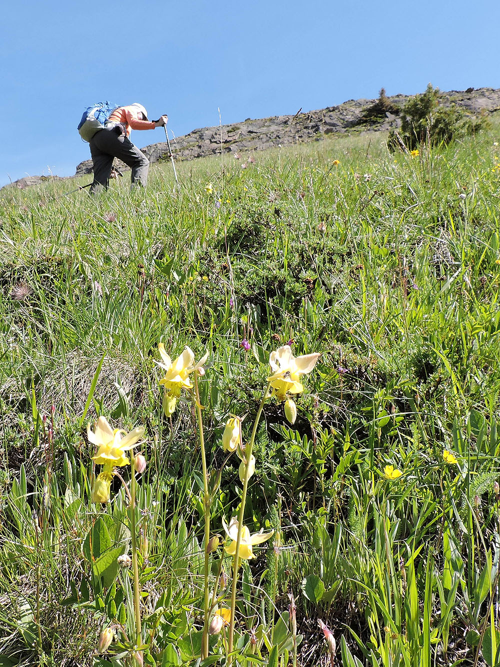
Wildflowers, such as these yellow columbines, thrived in the meadow
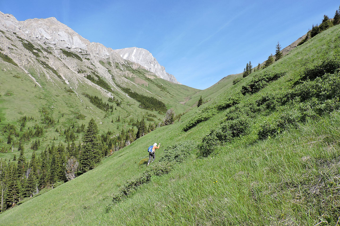
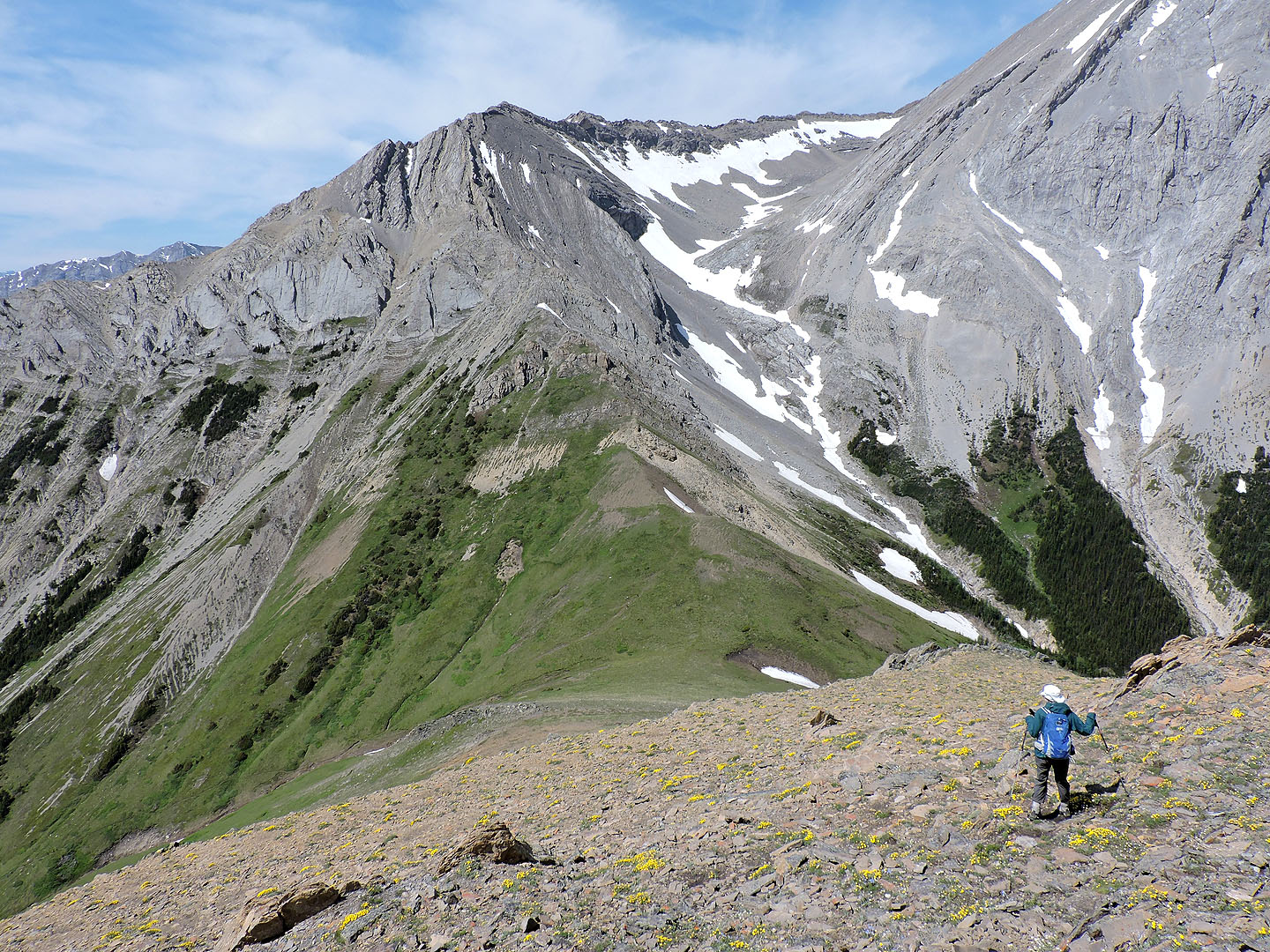
We headed to the ridge in the background
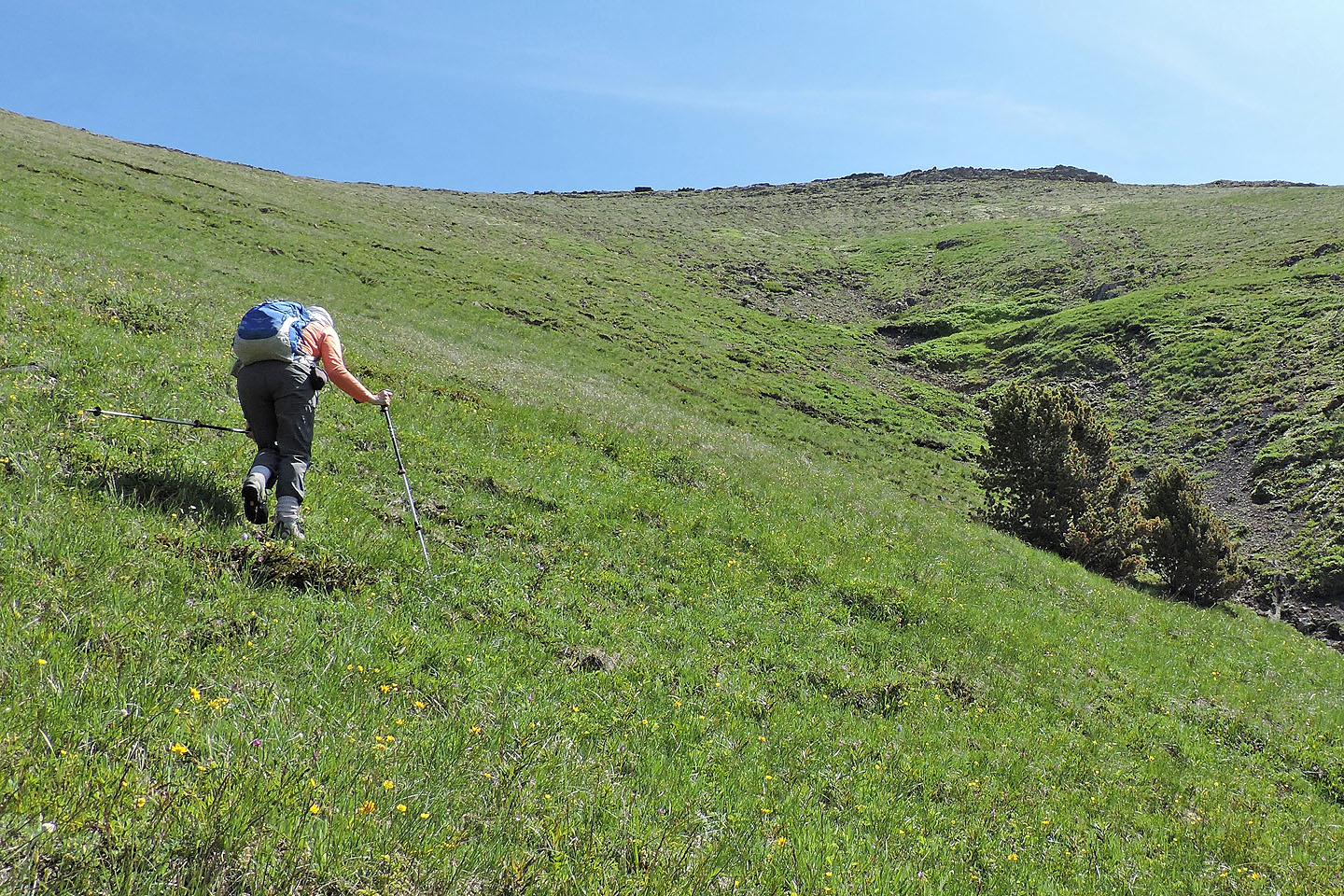
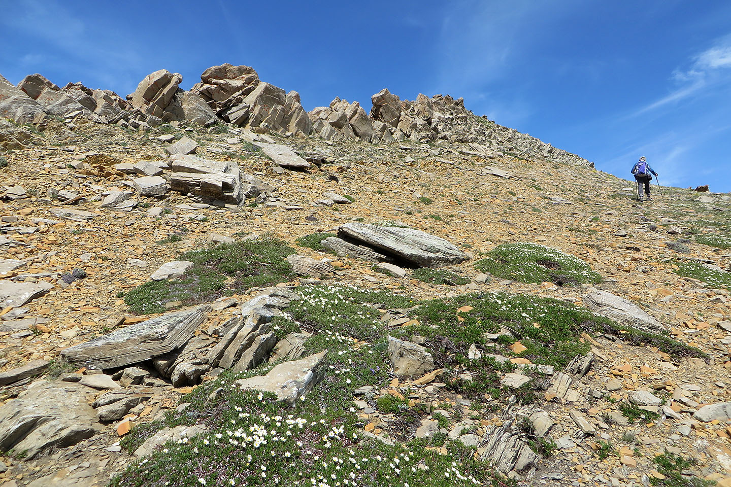
After reaching the top of the drainage, we hiked to the end of the rocky ridge above
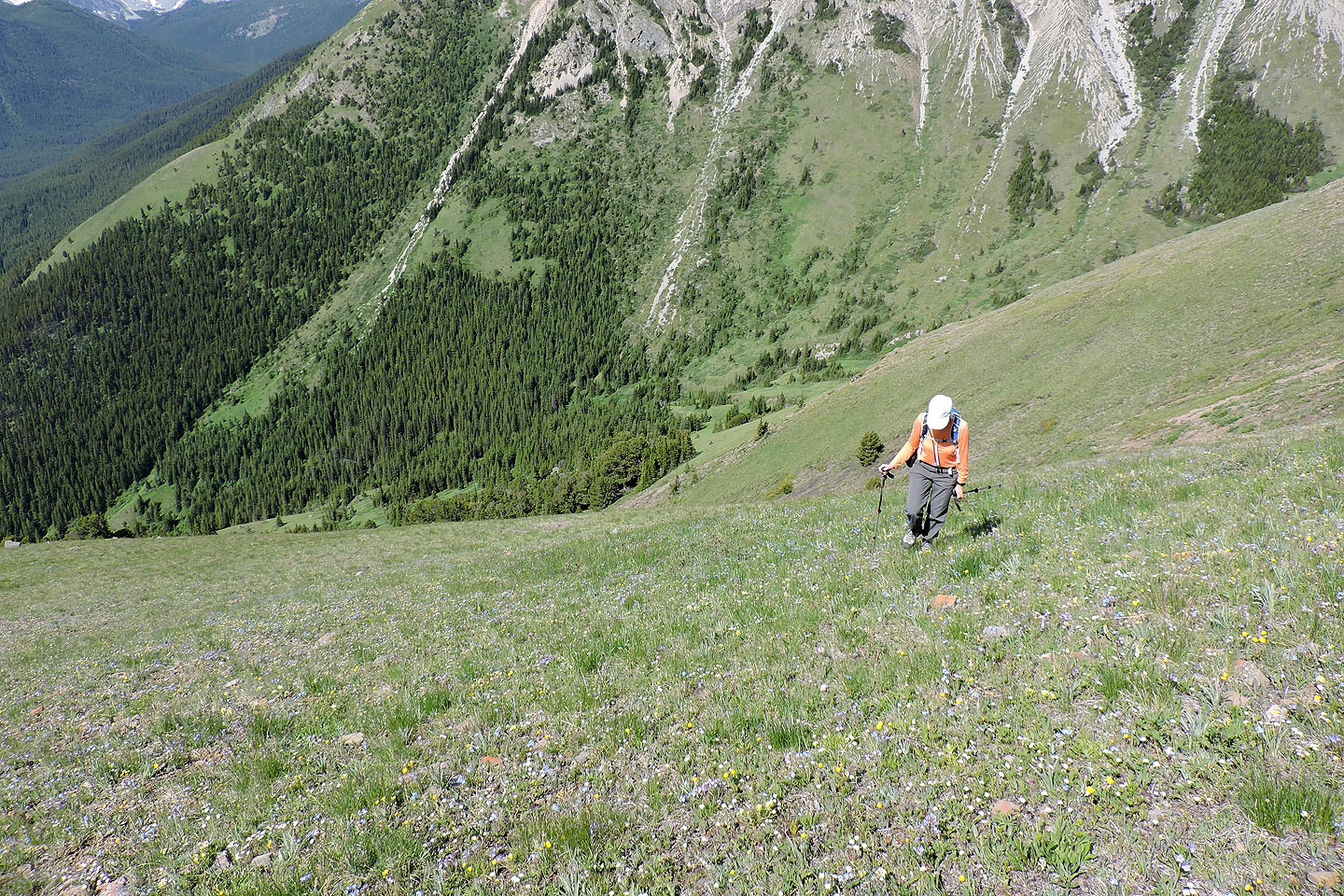
Far below, we could see hikers going up the trail
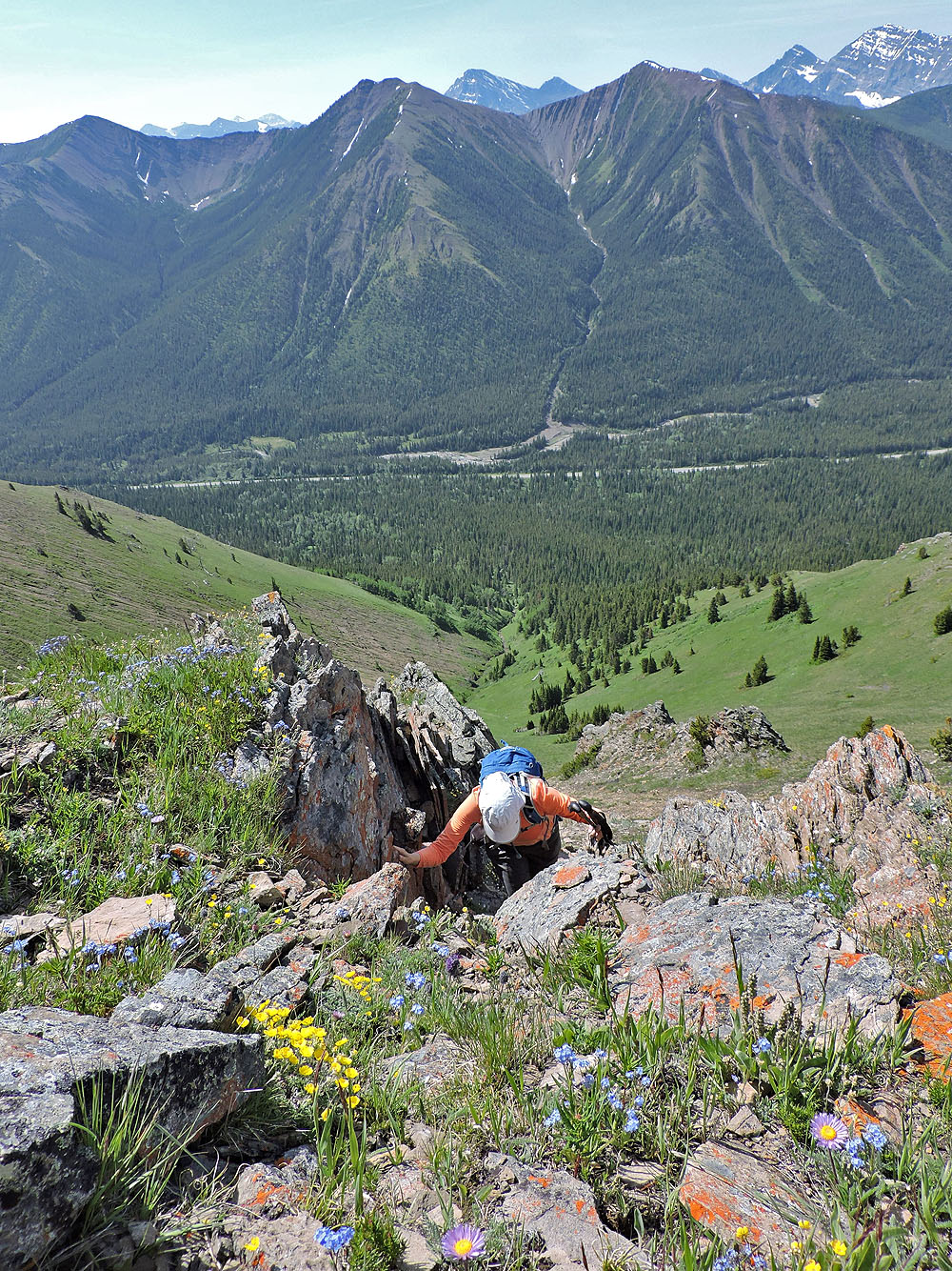
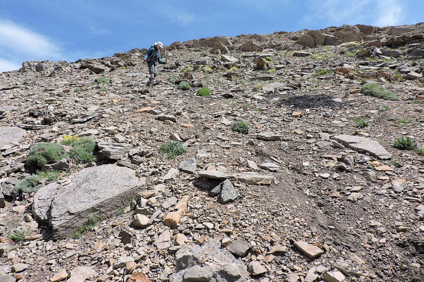
We could have hiked around the rocky ridge, but instead we easily climbed up it
Forgetmenots grew in profusion here
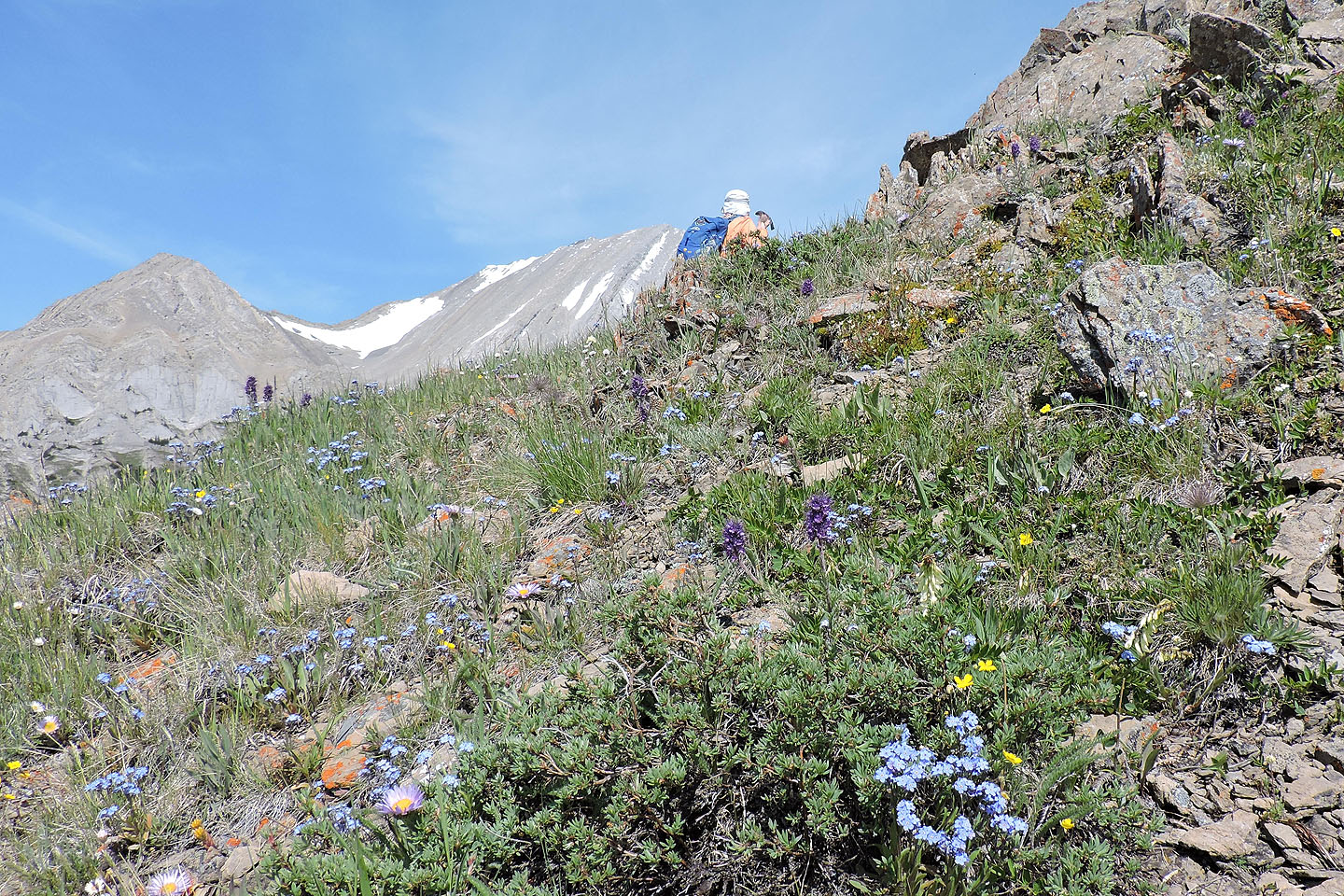
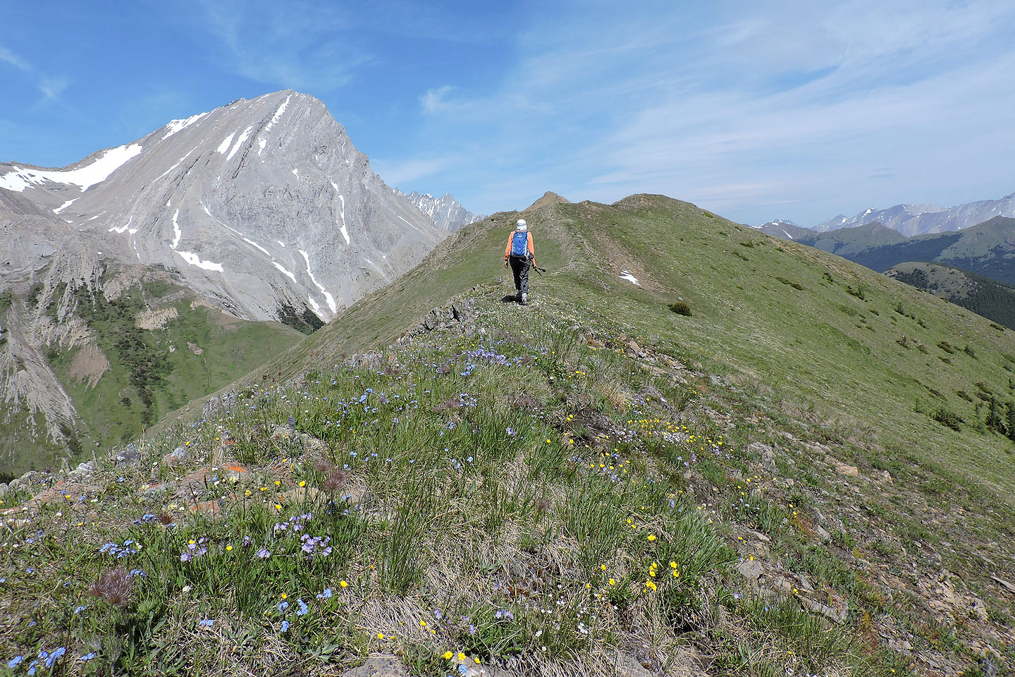
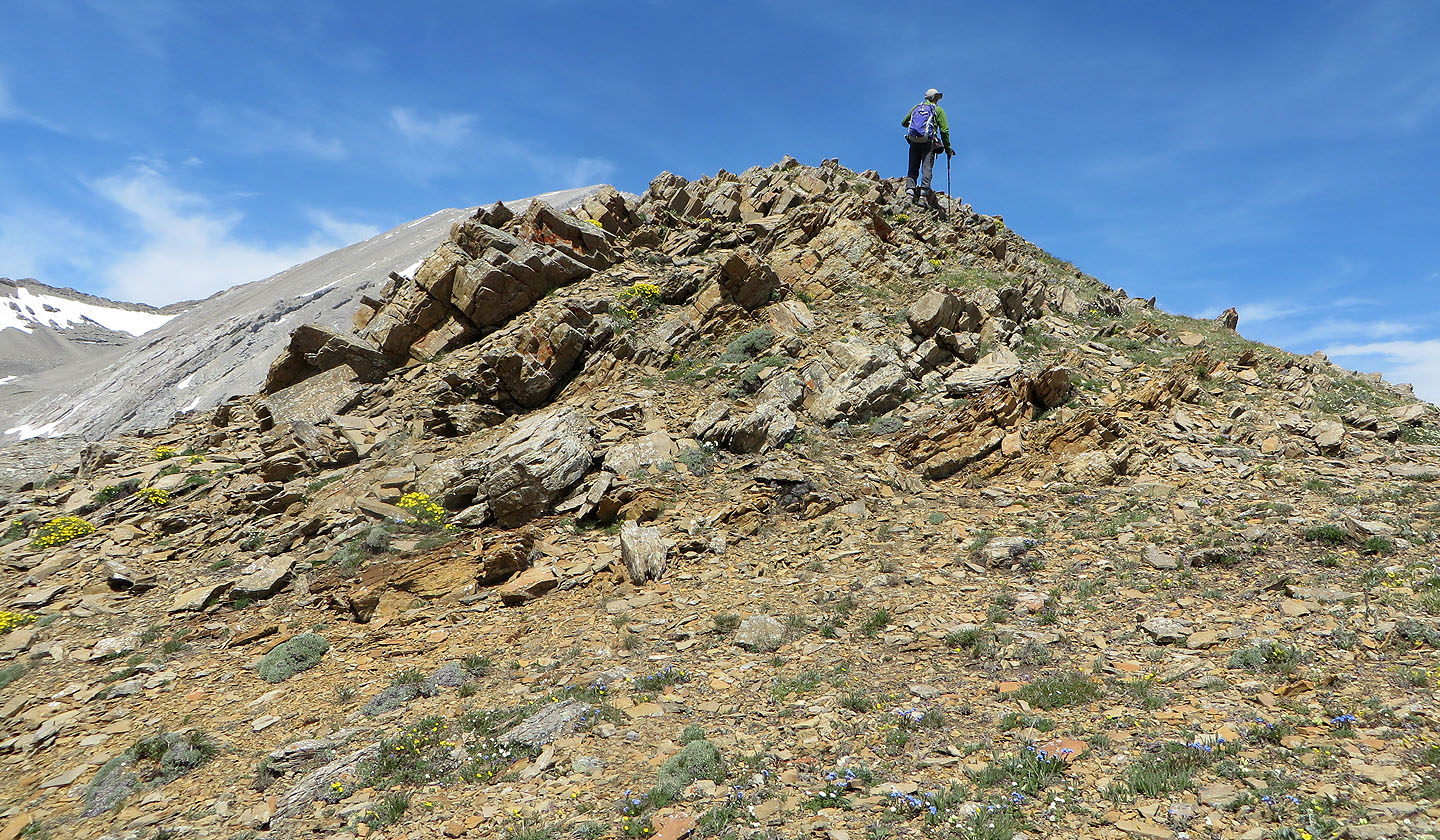
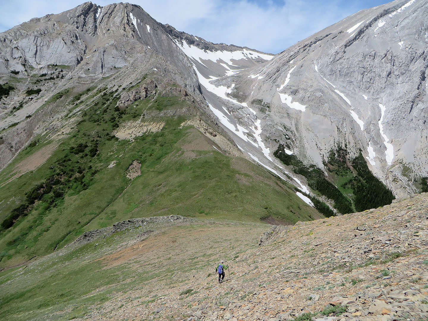
After the rocky ridge, the ridge crest is a short distance away
We'll soon reach the crest
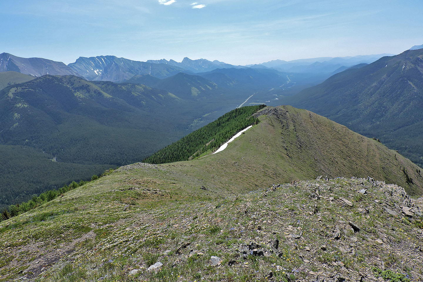
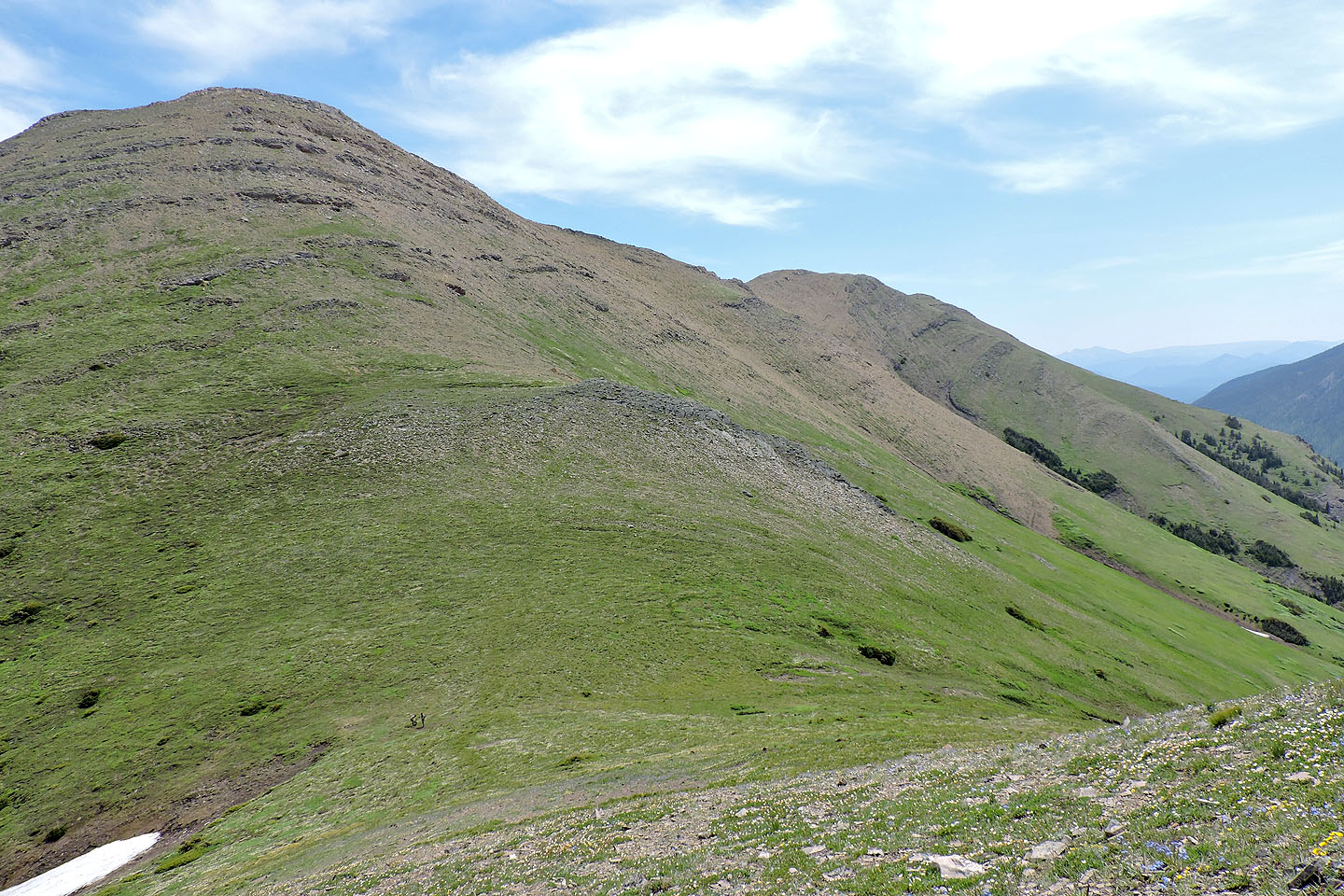
Looking south after reaching the ridge
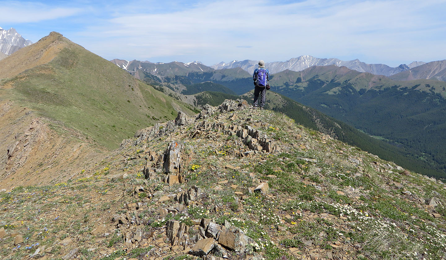
We made our way to the summit, the point in front of Dinah. Mist Mountain on the left.
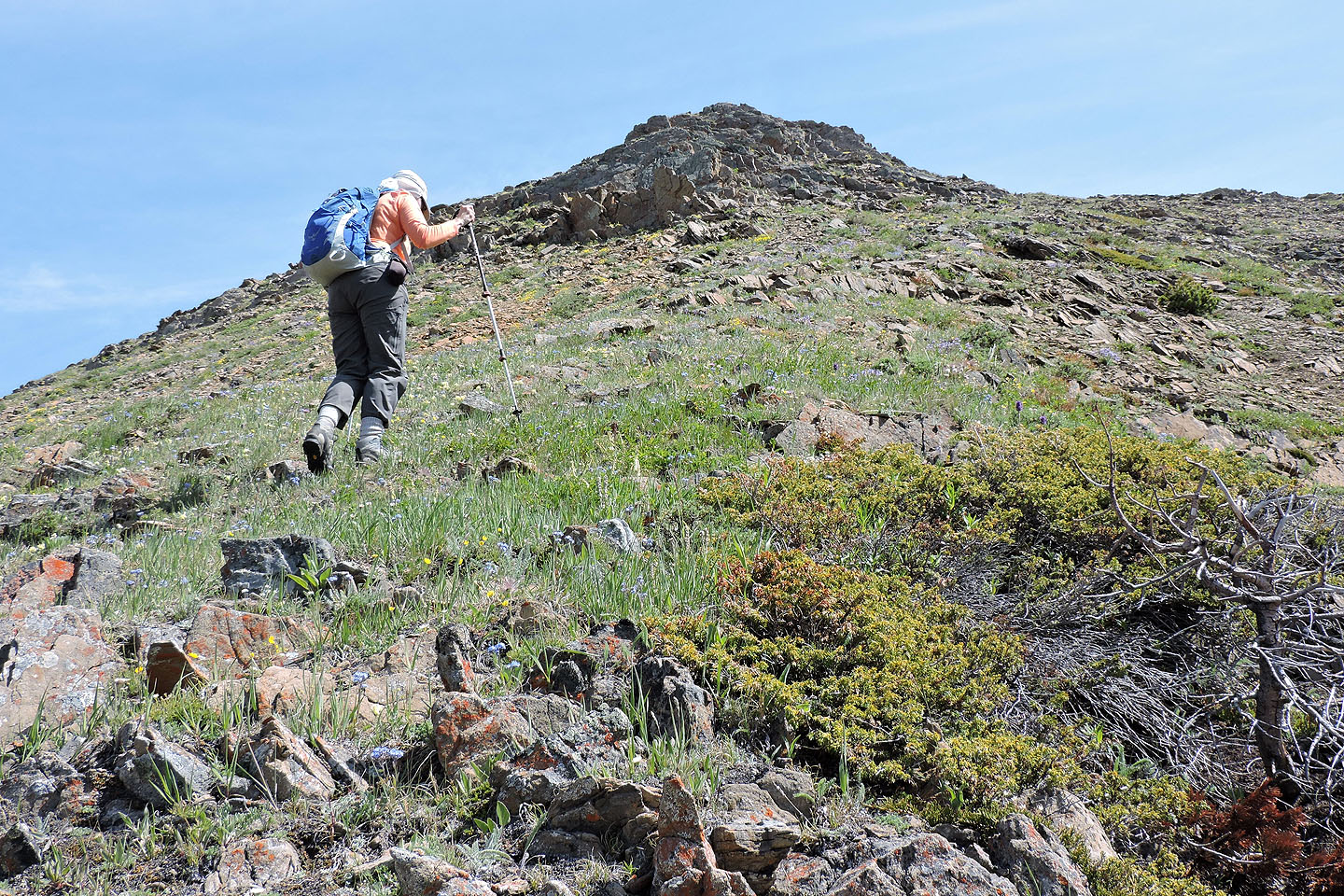
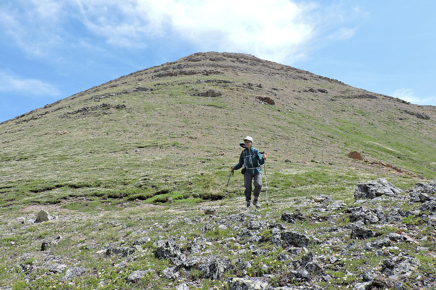
It was an enjoyable walk to the summit
The green ridge on the right is Mist Ridge
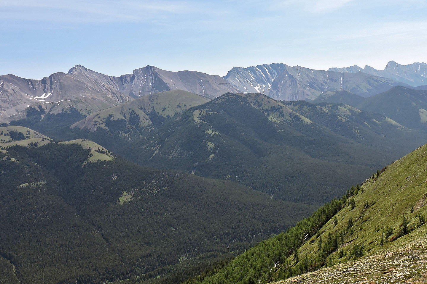
The green bumps in the middle are South Mist Hills
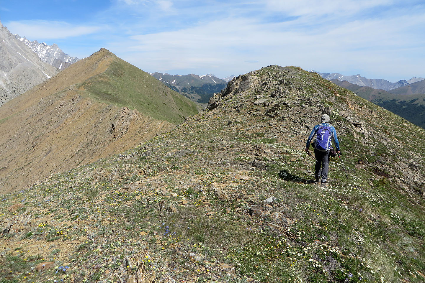
Just before the summit, we passed a rocky spine
Almost at the top of Nameless Ridge
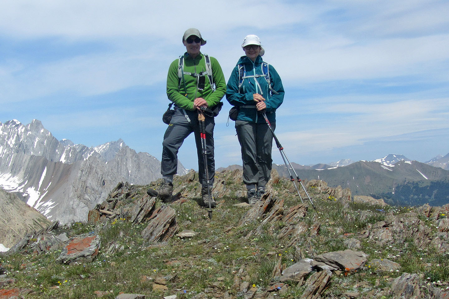
Standing on the summit
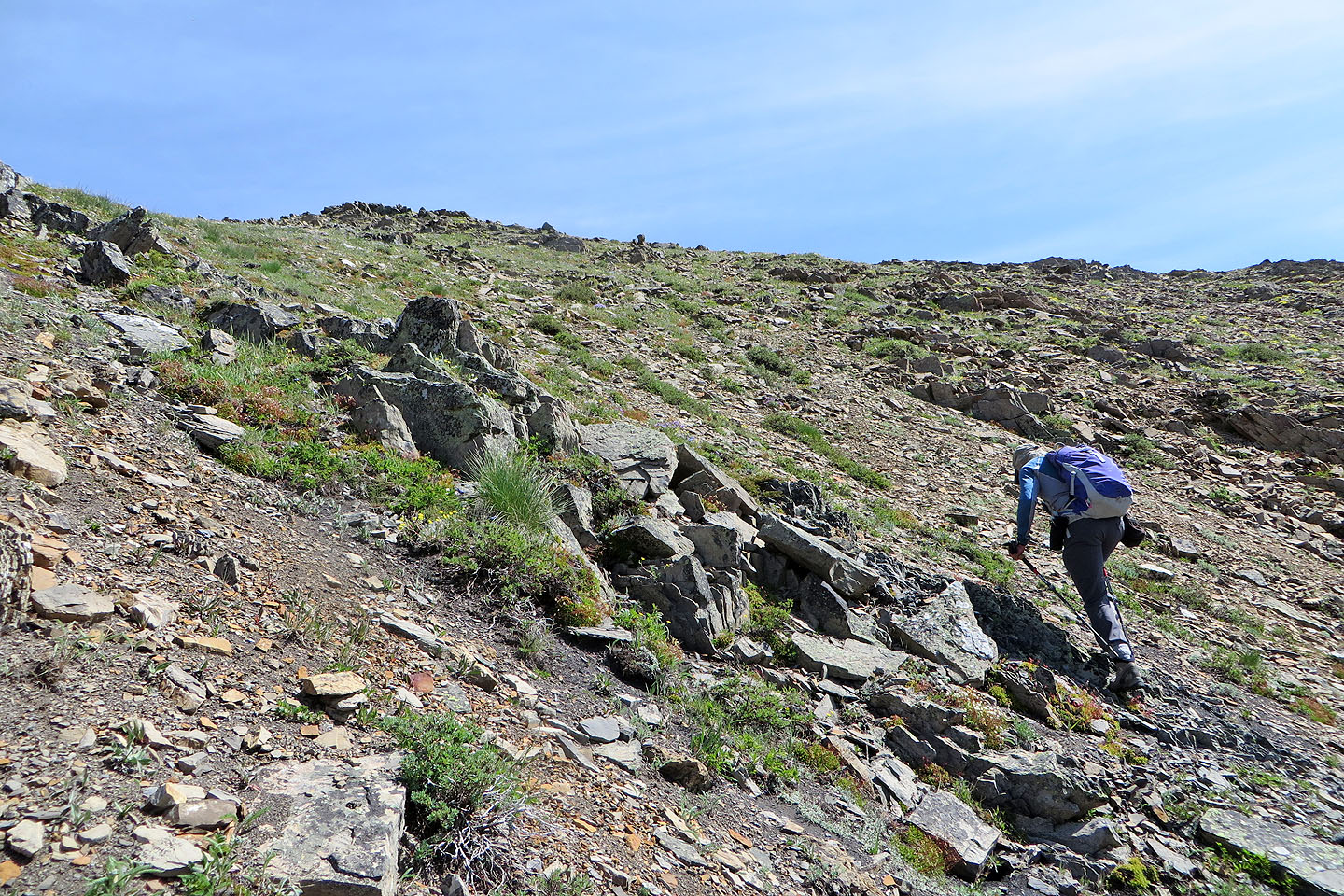
Heading down to the col
We took advantage of the scree
Well down the slope
Looking back
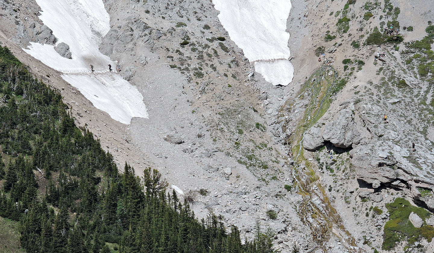
From the col, I zoomed in to look at the hot springs
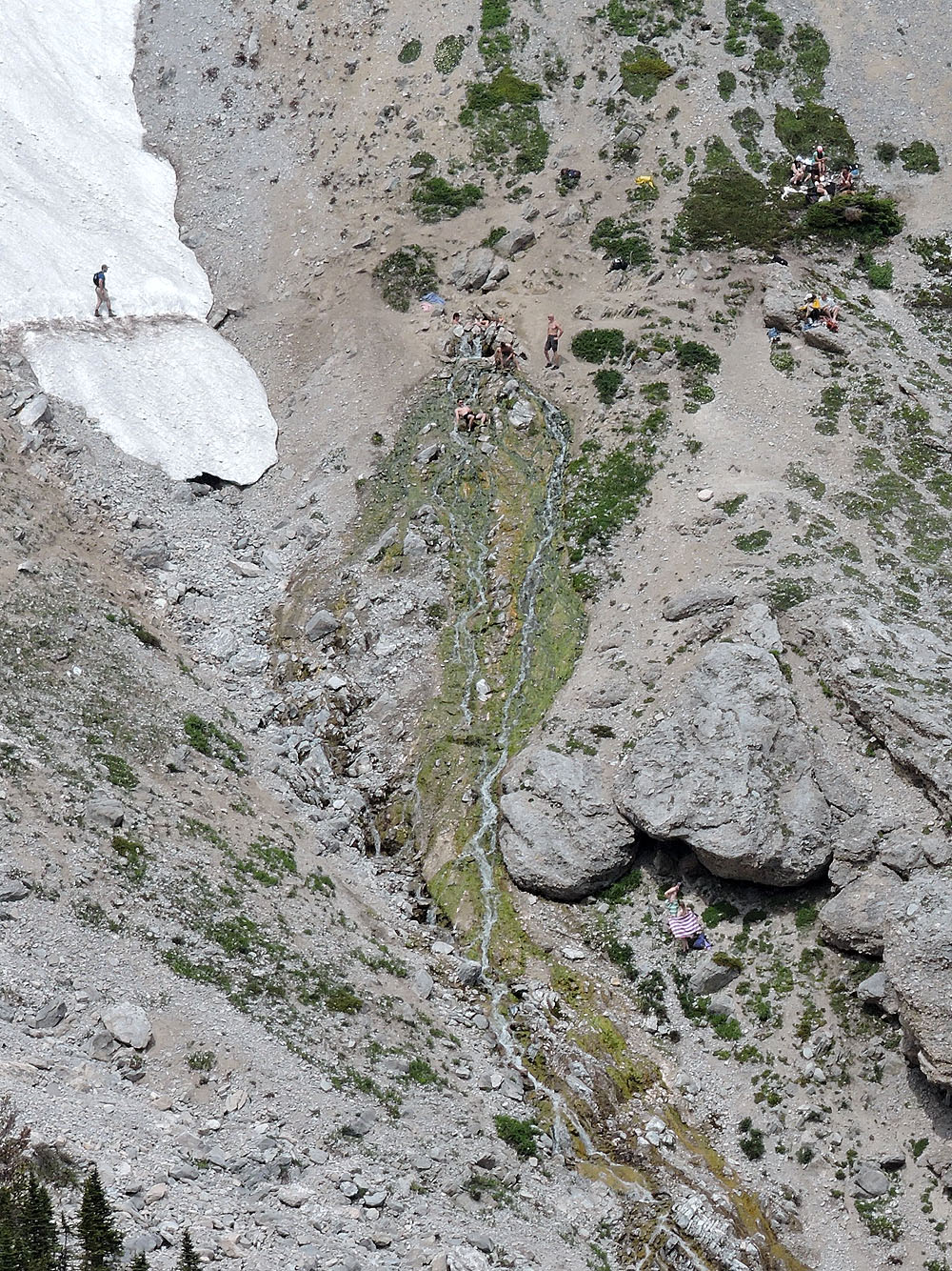
I was surprised to see so many people there
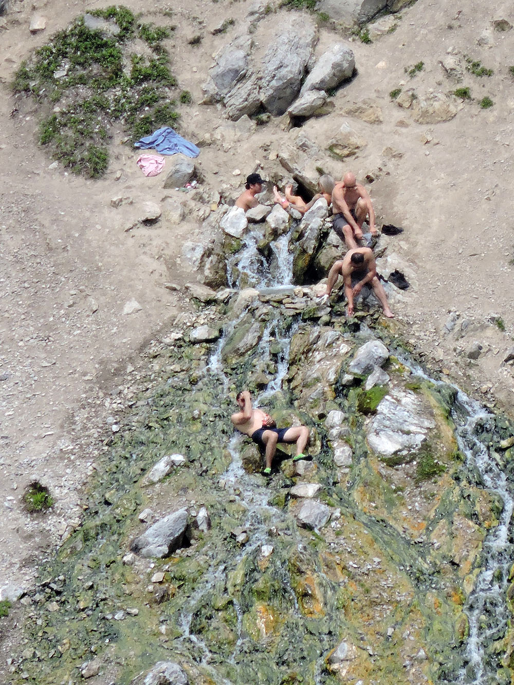
A close look at the upper pool
After climbing up the other side of the col, we had a nice view of Nameless Ridge
Starting down the trail. Ahead is Odlum Ridge.
Looking back at the pass
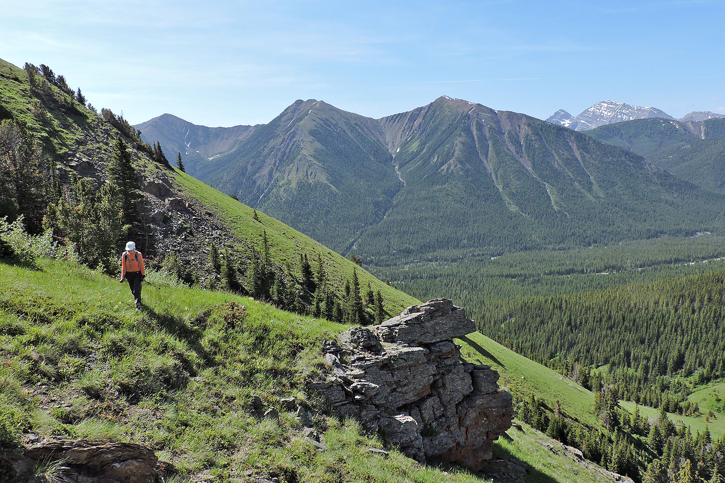
Looking at the ridge we ascended. Pulpit rock is above Dinah, in front of some trees.
82 J/10 Mount Rae