bobspirko.ca | Home | Canada Trips | US Trips | Hiking | Snowshoeing | MAP | About
Windy Point Ridge and Gleason Ridge
Kananaskis, Alberta
November 19, 2016
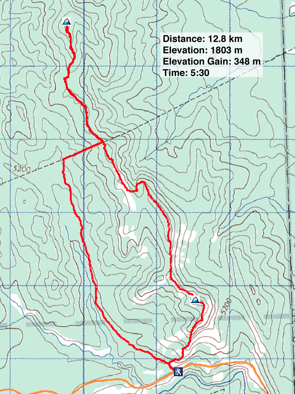
Distance: 12.8 km (8.0 mi)
Cumulative Elevation Gain: 631 m (2070 ft)
Although Gleason Ridge is an extension of Windy Point Ridge, the two hikes couldn’t be more different. Where Windy Point is short and sweet with far-ranging views, Gleason contrives to be the opposite, long and suffering with trees shutting out expansive views. But with slim pickings late in the season, Gleason would at least be a novel objective for me.
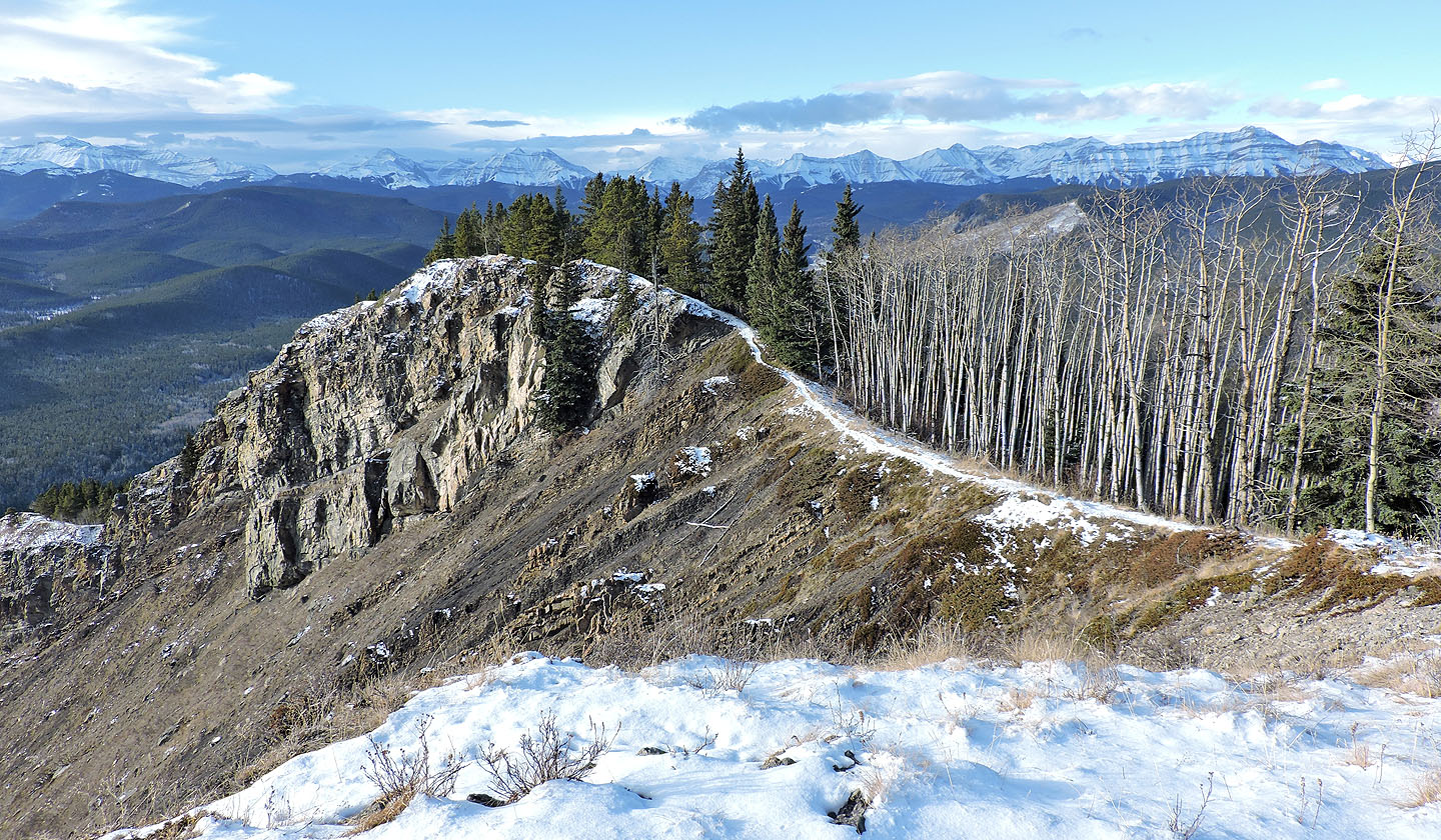
To climb Gleason Ridge, it’s practical to first reach Windy Point Ridge. Unlike my previous ascent when the winter gate was closed, I could take the usual route and begin at the base of Windy Point. I started up a good trail, but when it disappeared, I hiked up the grassy ridge on my right where the trail reappeared on a sharp crest. It runs along an open ridge before dipping into the woods and emerging onto a tiny bare spot ringed with trees: Windy Point summit.
In a short time, I had whizzed through the most scenic part of the trip and now faced the long, gloomy treed stretch to the top of Gleason. It wasn’t all bad as occasional animal trails allowed pleasant hiking at times, but often I had to skirt thickets and deadfall.
I followed the ridge to the summit. Since the top is locked in trees, there was little to see, so I had lunch and headed back. Fortunately I didn’t have to follow the monotonous ridge all the way back. For a change in scenery, I could take the monotonous valley trail described in The Kananaskis Country Trail Guide. Using a cutline running over the ridge, I dropped down the west side to the valley trail.
The trail wasn’t completely wooded, and I welcomed the sight of a couple of big meadows that it skirted. At first, I had no trouble following the trail although it was covered in a few inches of snow. But for the last few hundred metres, the trail was distinguishable from the surrounding terrain and the countless animal trails. But those trails, along with a clear forest floor and sparse trees, made travel easy. I was soon back at the base of Windy Point Ridge.
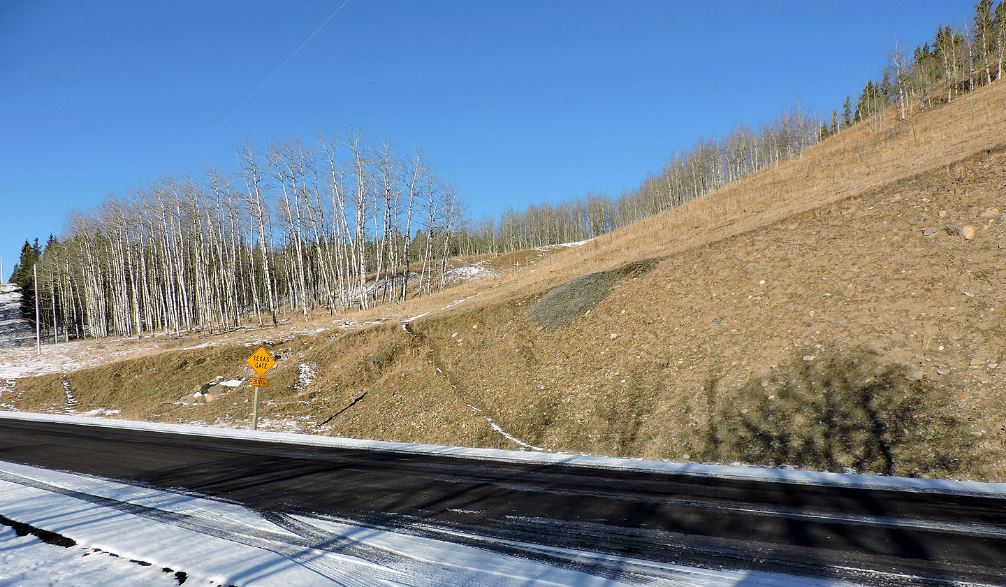
The trail starts up an open slope
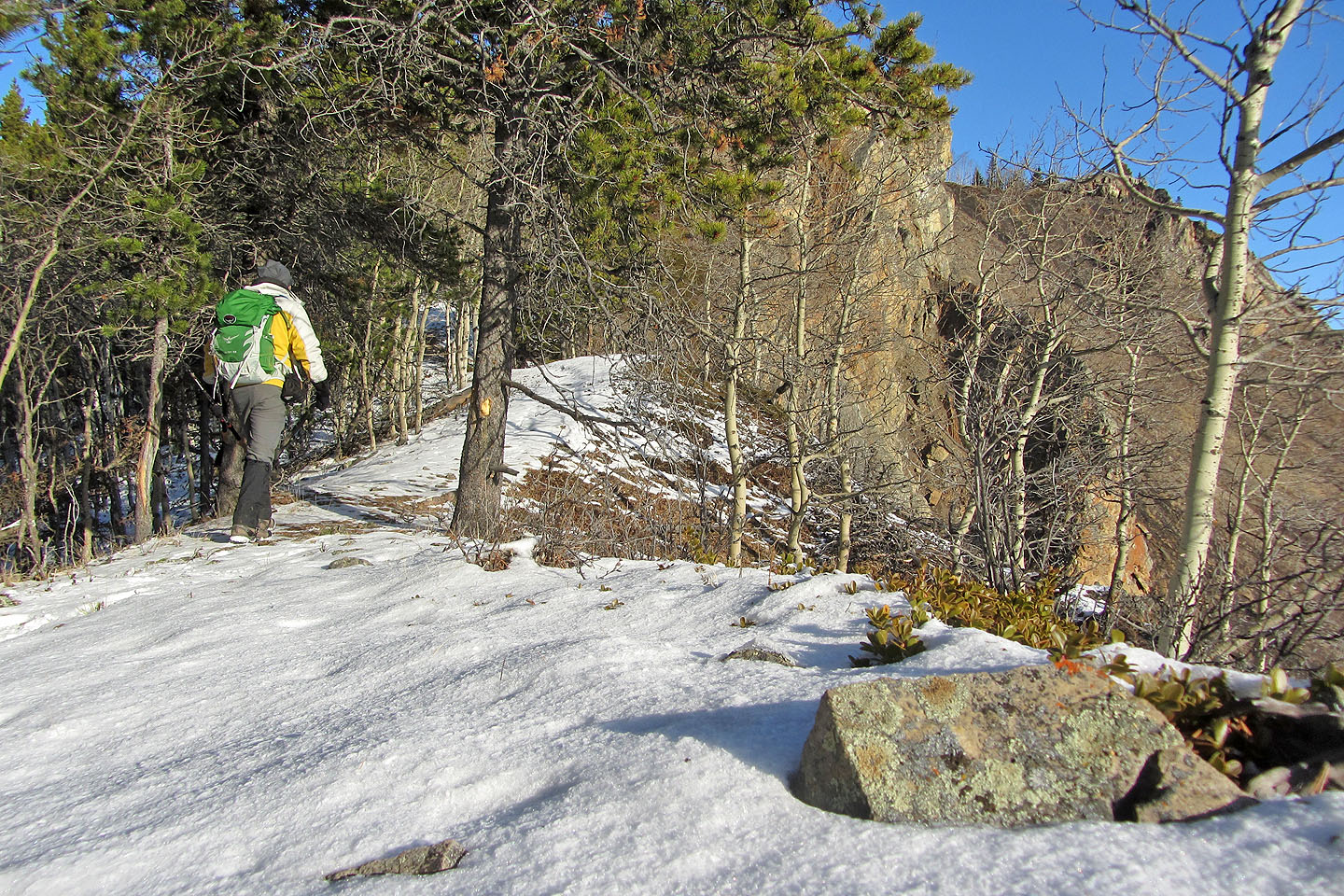
After hiking up a grassy slope I reached a trail on the ridge
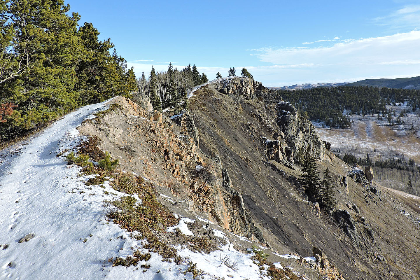
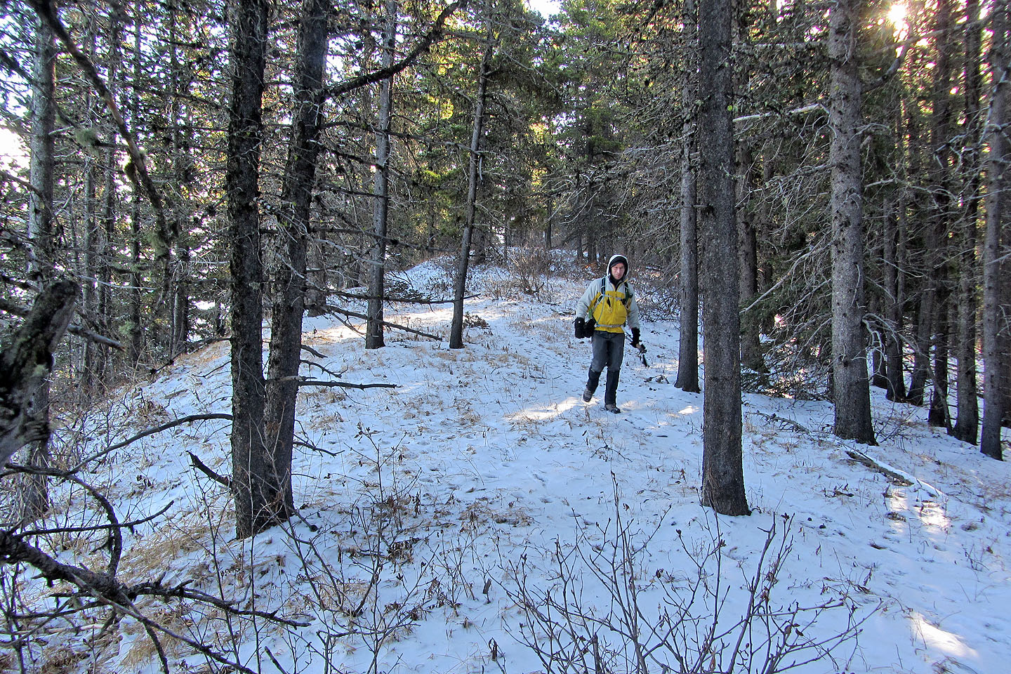
Trail continues along the ridge
Looking back at where the last photo was taken
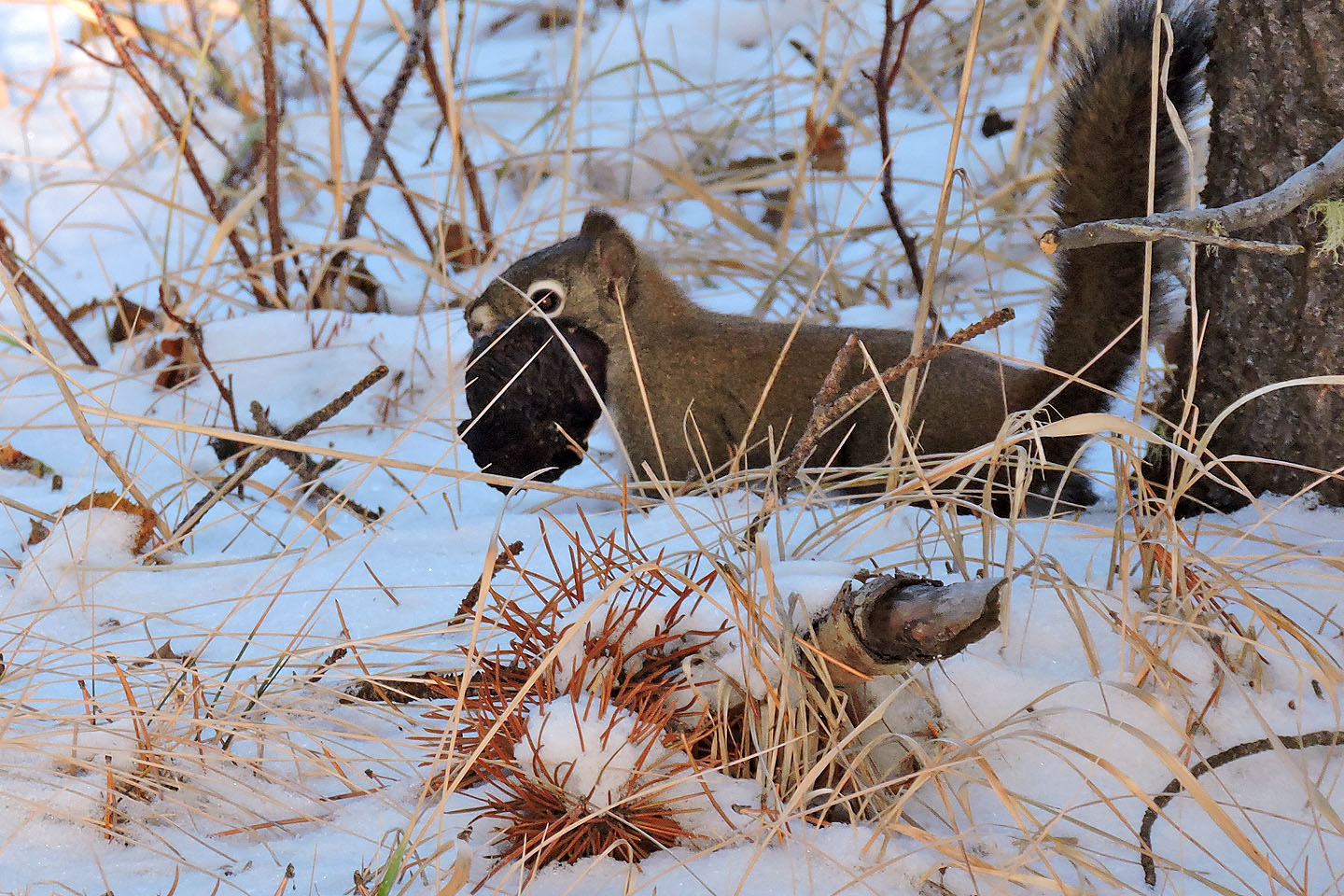
A squirrel prepares for winter by carrying a pinecone
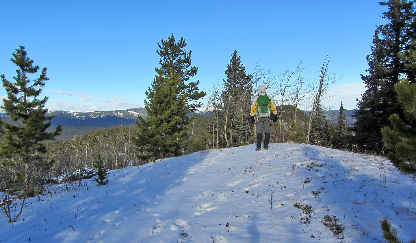
Not much of a view from the summit of Windy Point Ridge
Continuing to Gleason Ridge
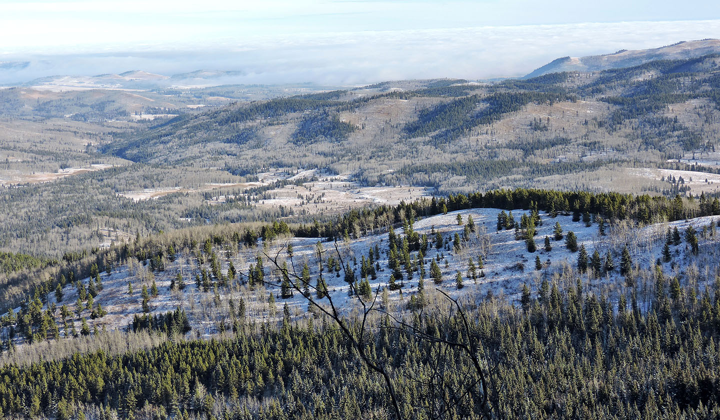
Looking east toward Turner Valley at a thick cloud cover, a mist that I had driven through earlier
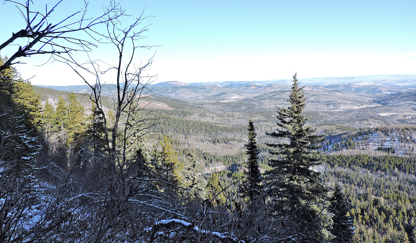
I could make out Mesa Butte to the northeast (mouse over for a close-up)
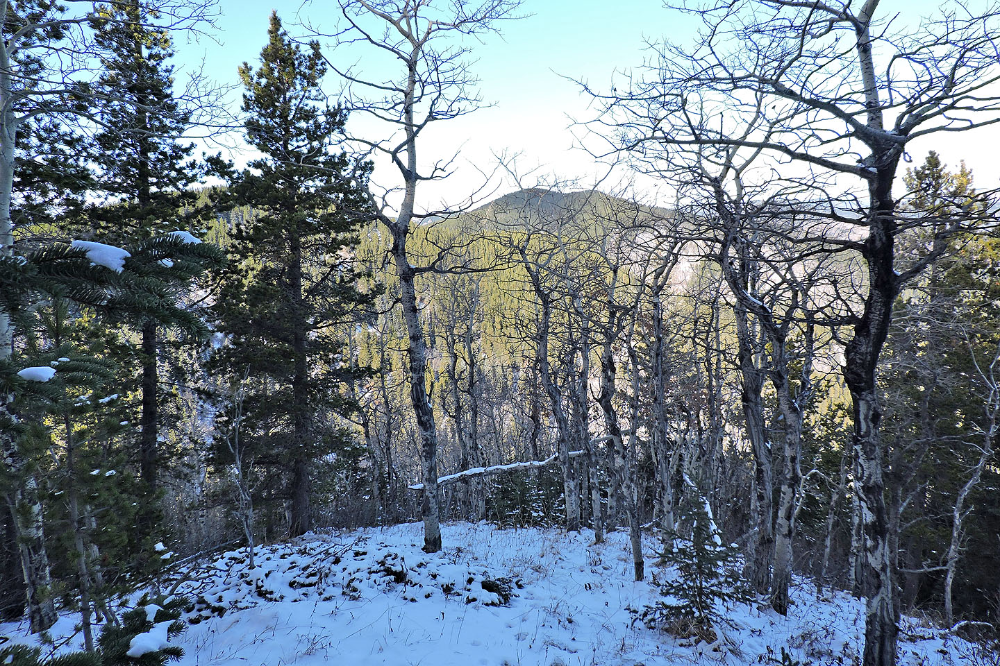
The ridge drops down to a col on the left. Ahead is the treed summit of Gleason.
I regained the ridge after the col
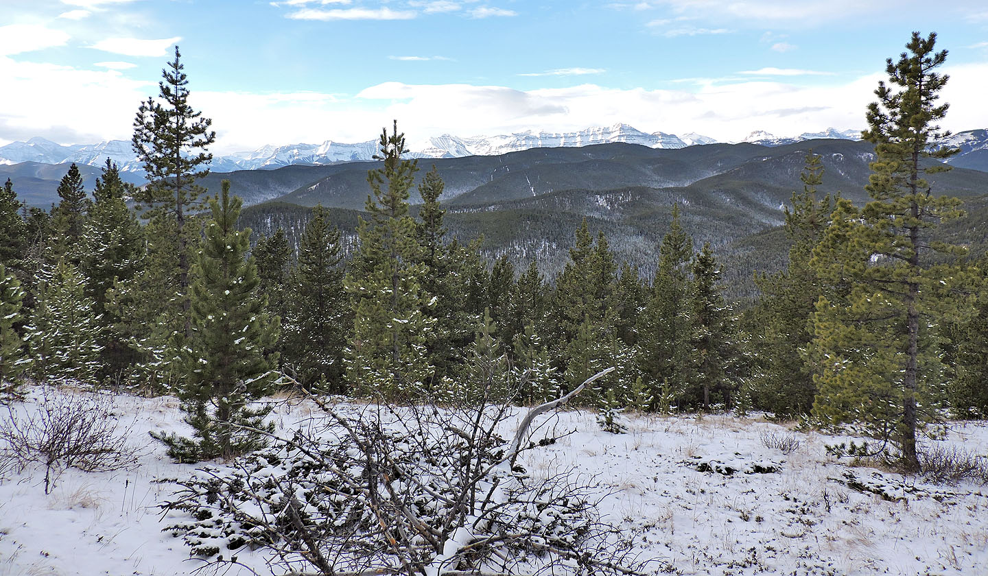
The snow-covered peaks west are too distant to make out much
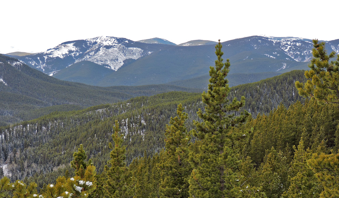
To the northeast is Volcano Ridge
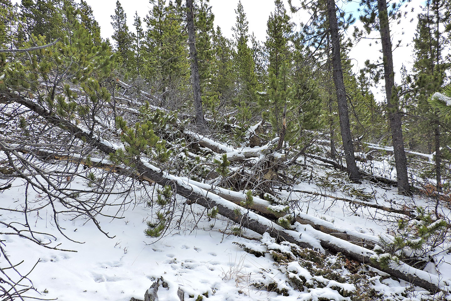
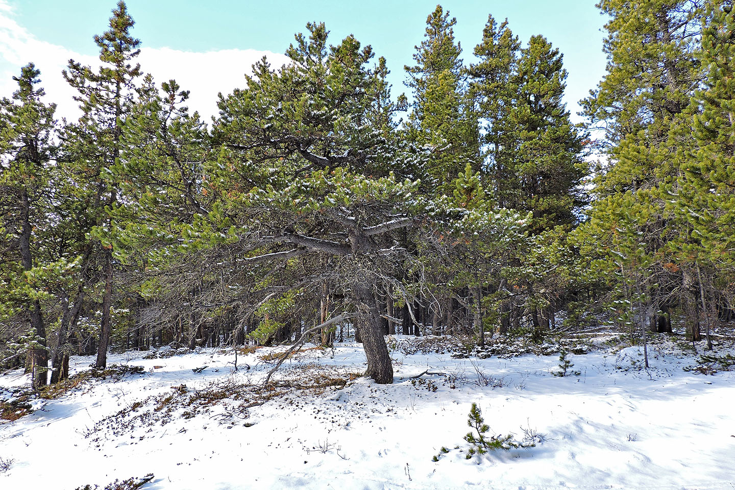
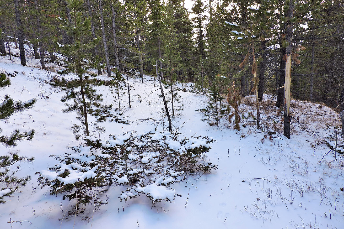
Deadfall on the crest became a reoccurring theme all the way to the summit of Gleason
By skirting left or right I was able to avoid most of the deadfall
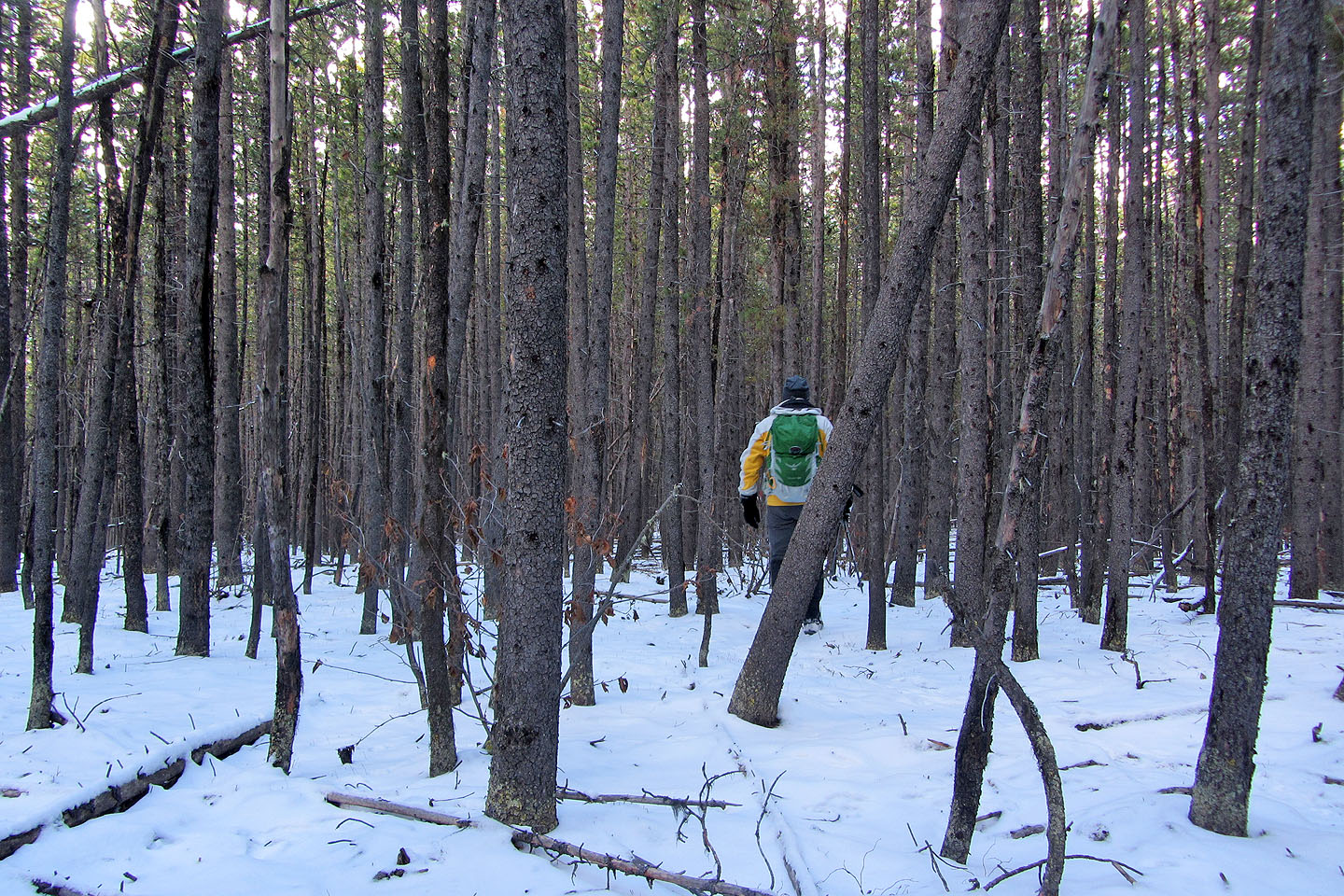
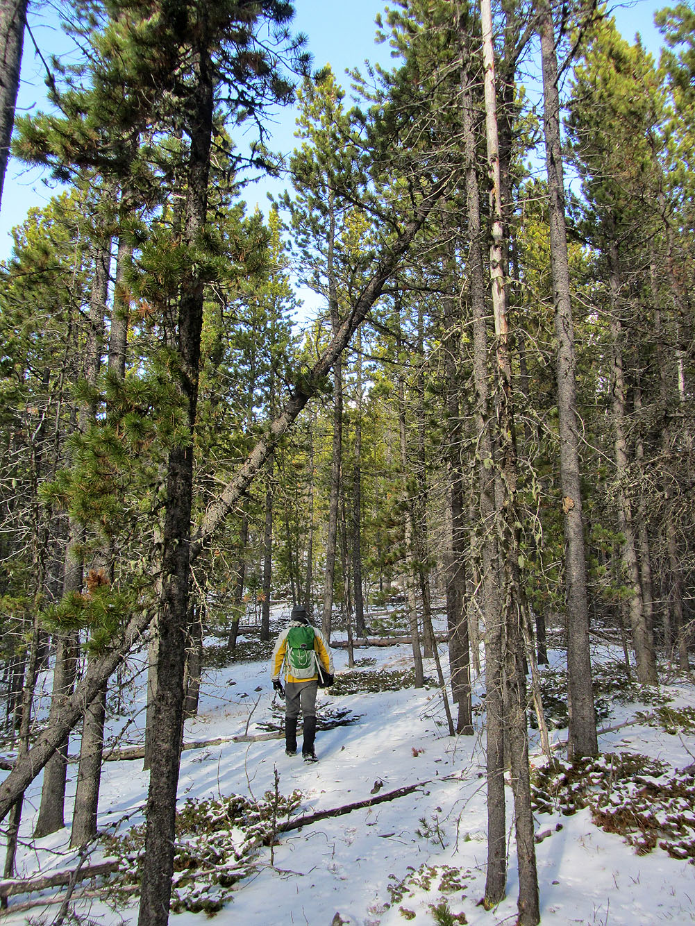
Shortly after crossing the cutline, I threaded through some lodgepole pines
Among the tall, narrow trees, this one stood out
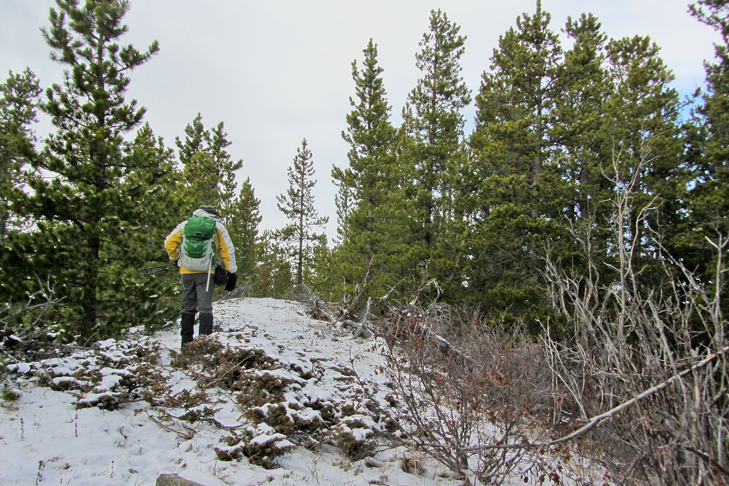
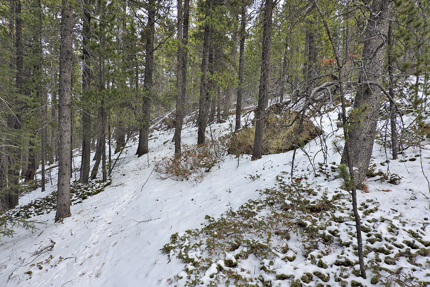
About 300 metres from the summit
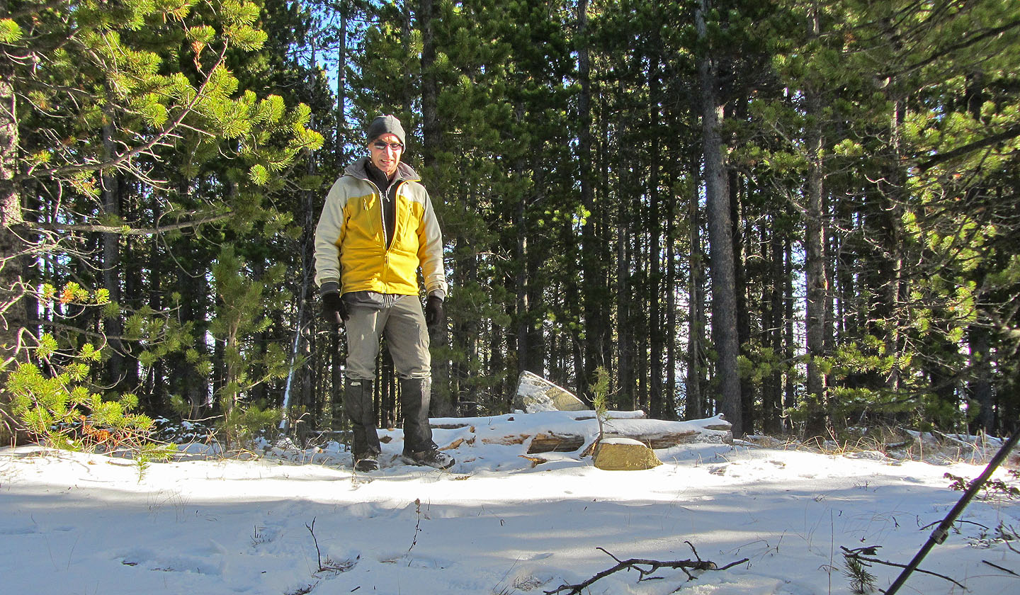
Ten metres from the summit, logs stacked against a pointed rock served as a summit cairn
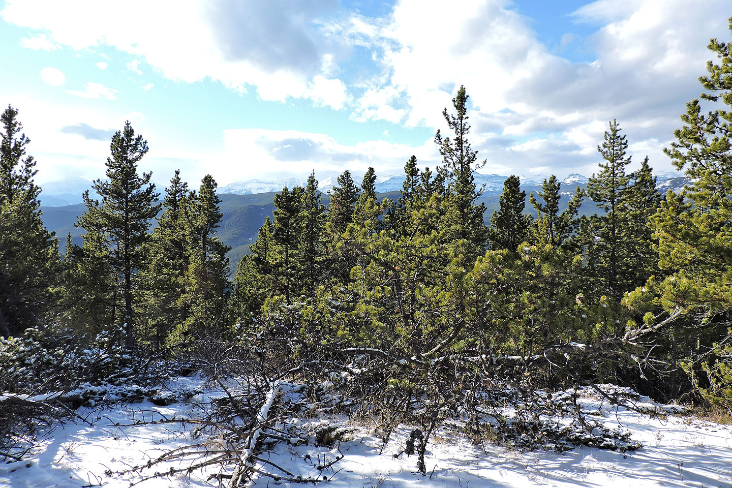
A small break near the summit allowed some views
Heading back along the ridge I almost didn't notice the cutline as it was overgrown
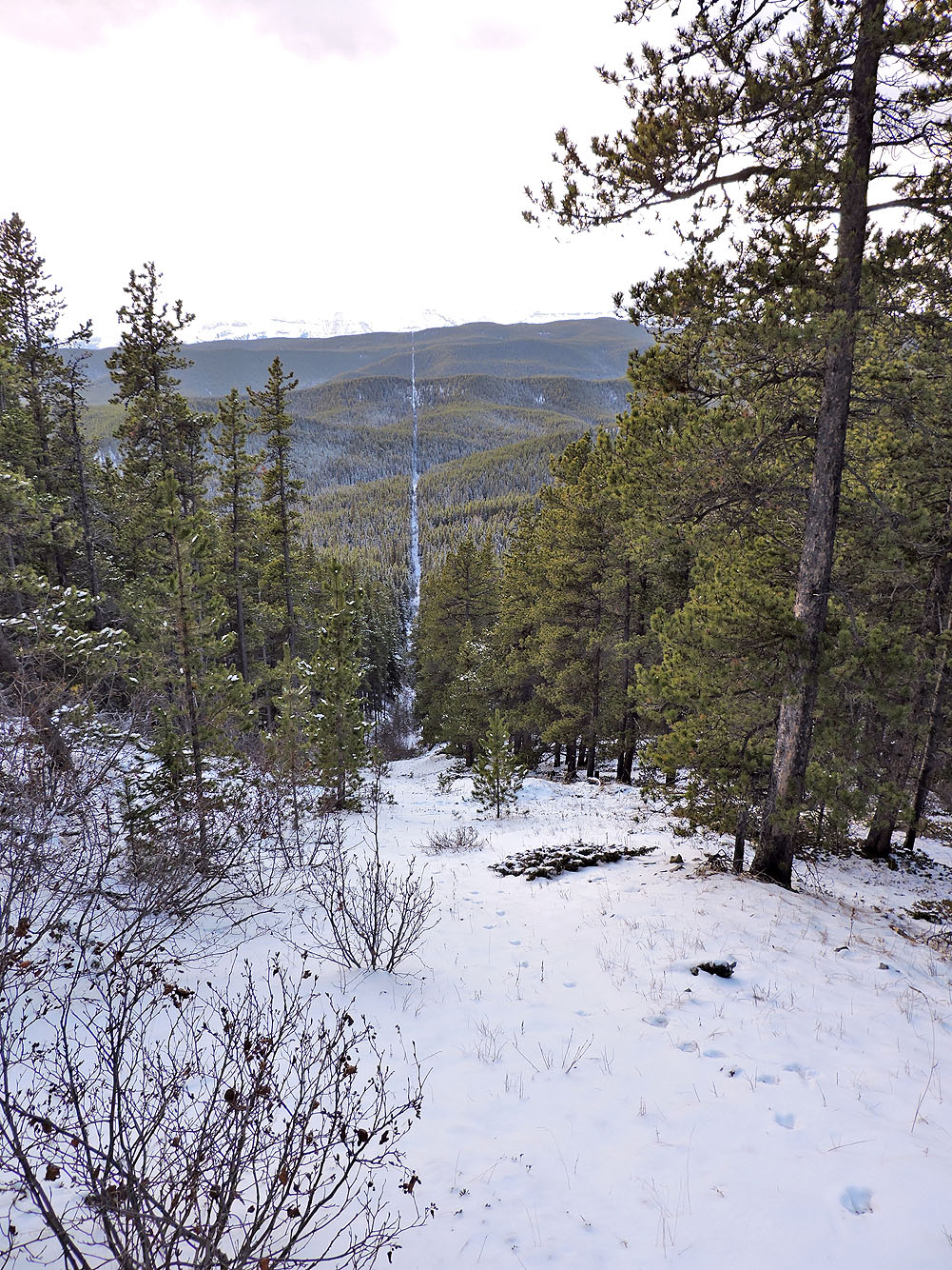
Looking down the cutline

From the cutline I turned onto the valley trail
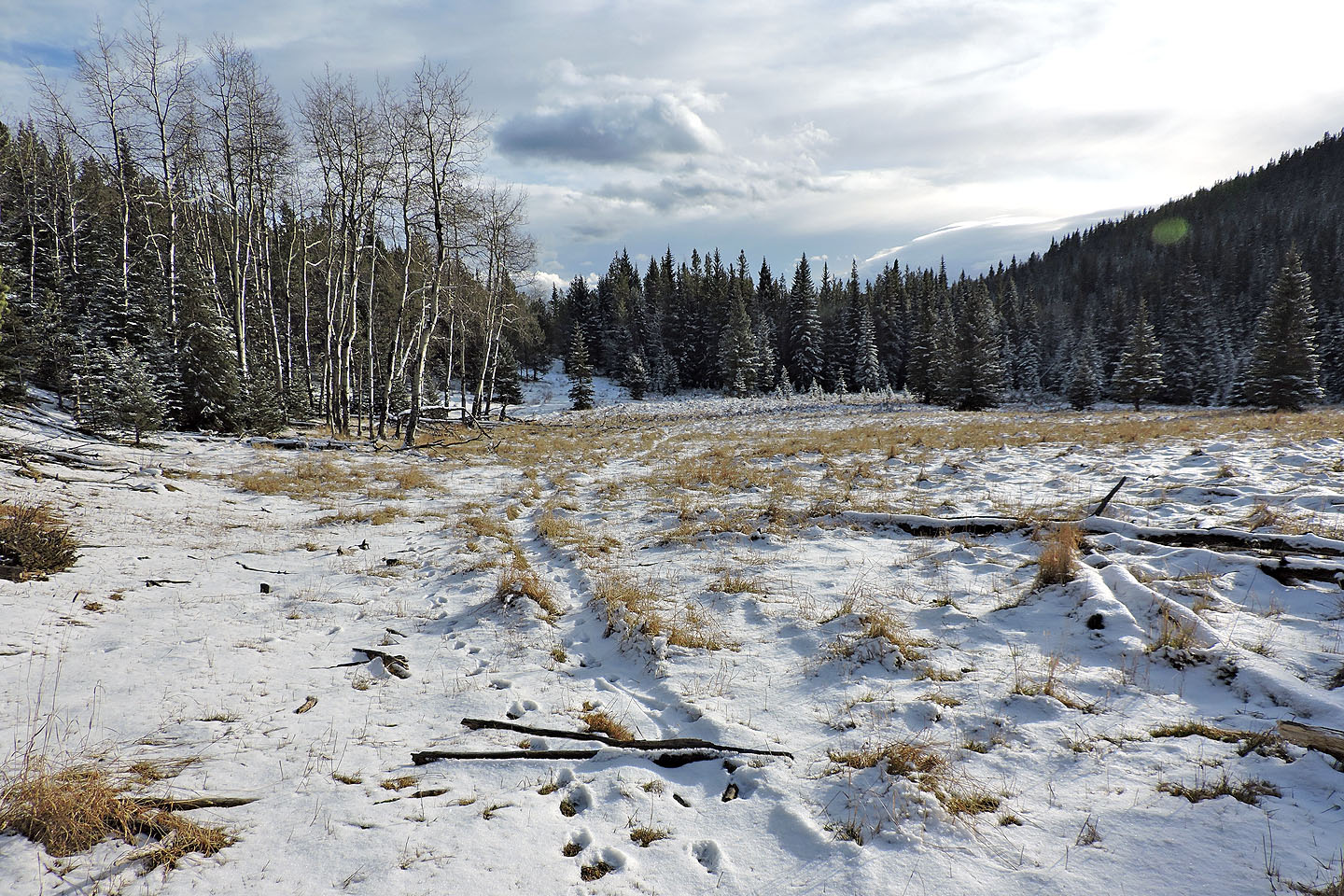
One of two meadows that the trail skirts
82 J/10 Mount Rae