bobspirko.ca | Home | Canada Trips | US Trips | Hiking | Snowshoeing | MAP | About
Mesa Butte and Curley Sand Ridge
Kananaskis, Alberta
May 30, 2021
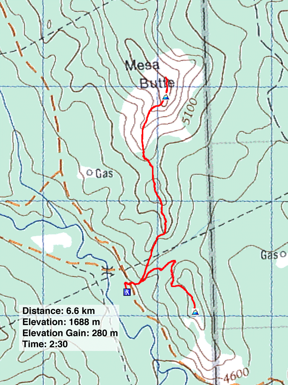
Distance: 6.6 km (4.1 mi)
Cumulative Elevation Gain: 461 m (1512 ft)
A short trail runs up Mesa Butte to a spacious summit with views stretching from the foothills to the peaks in the Misty Range. But don't expect to find solitude here during the hiking season. The popular, easy trail west of Millarville draws families rather than serious hikers, but it suited Dinah who is having trouble with arthritis in her knees.
After parking at the trailhead, we started up the trail going north. Another trail begins at the south end of the parking lot, but both paths converge a couple hundred metres later at the junction for Mesa Butte and Curley Sand Ridge. We kept left to climb Mesa Butte.
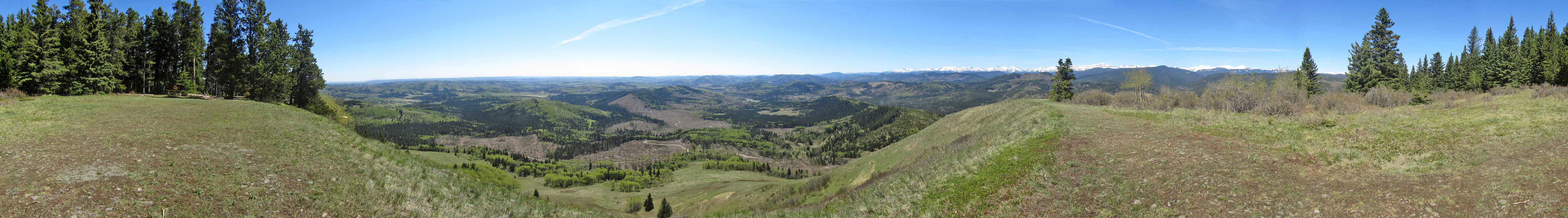
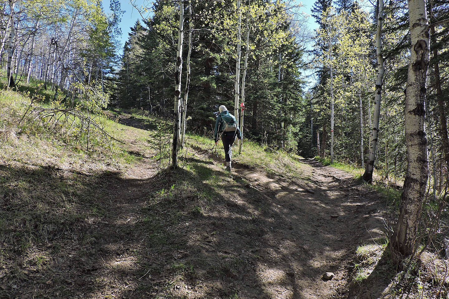
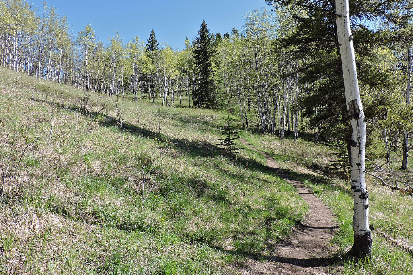
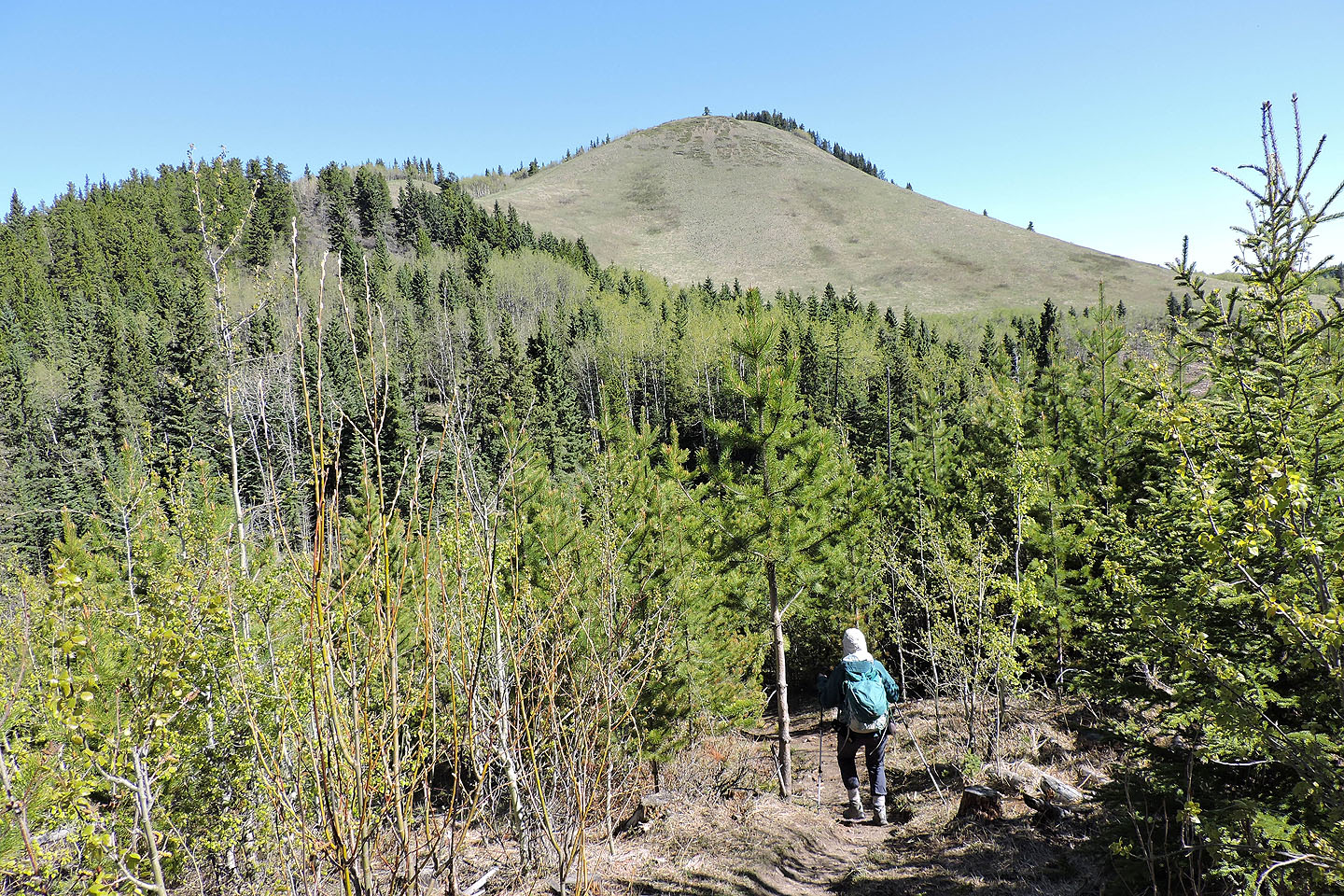
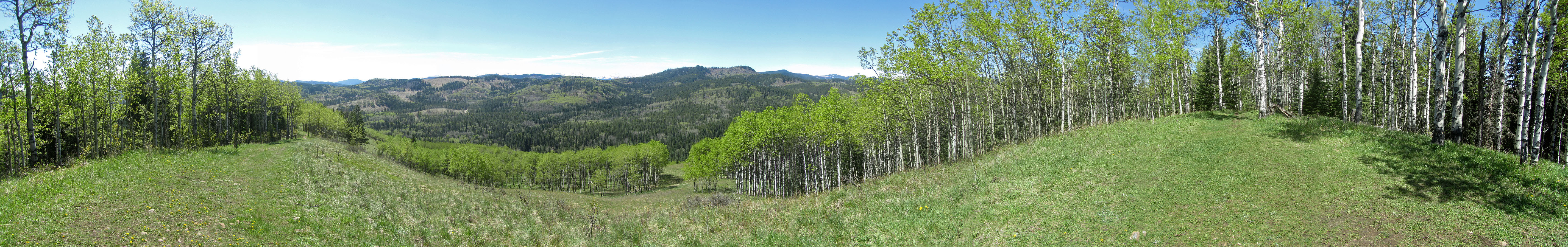
The trail winds through a variety of landscapes, passing through spruce forest, aspen stands and meadows before reaching the top of Mesa Butte. The meadowy south section of the summit permits sweeping views to the south, and we paused to take in the scenery. Then we meandered through the woods that cover the north end of the ridge, but when views weren't forthcoming, we soon turned around.
Coming down from Mesa Butte, I turned at the junction to climb Curley Sand Ridge while Dinah continued to the parking lot. The brief trail to Curley Sand is shared by horse traffic, so watch where you plant your wafflestompers. The summit, just 80 m above the junction, permits views to the south. I waited a few minutes for hikers to clear the summit so I could take a panorama before returning to the parking lot. But Mesa Butte isn't busy all the time. When we climbed it in January 2011, we saw no one else.
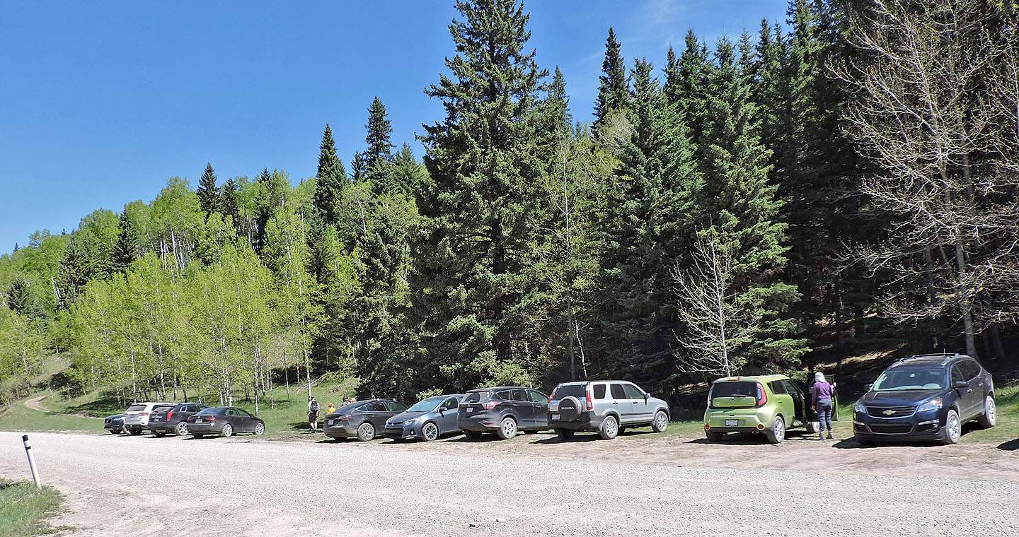
The trail runs left from the parking area
After hiking 250 m, we reached a fork: left for Mesa Butte and right for Curley Sand Ridge
The trail gently climbs to the ridge crest
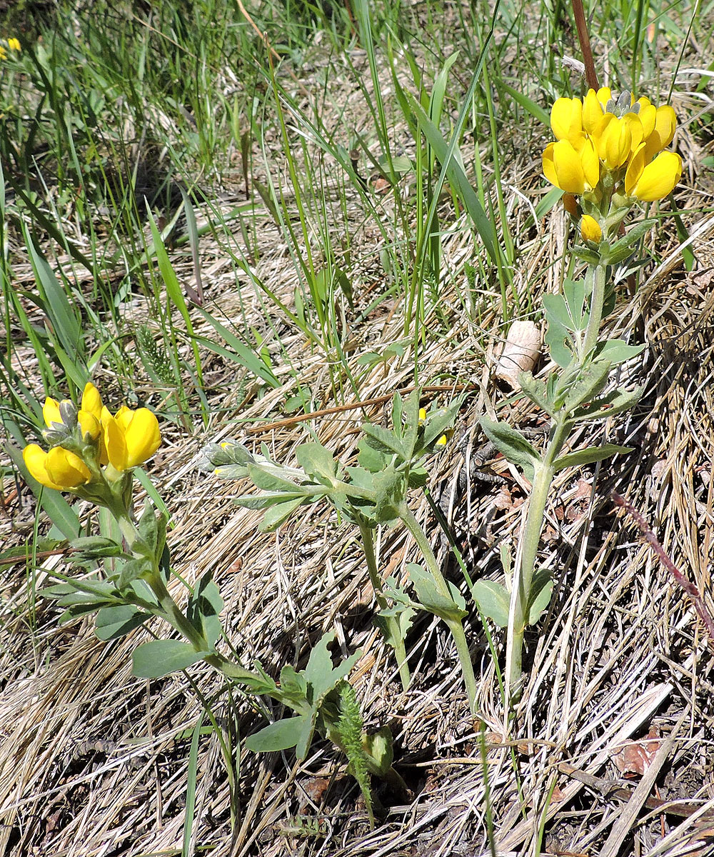
Golden bean wildflowers
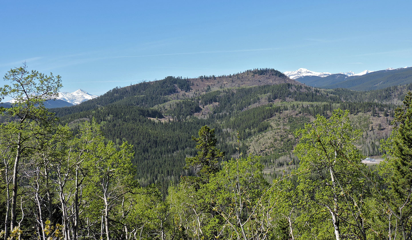
Curley Sand Ridge appears nearby
Death's Head lies southwest
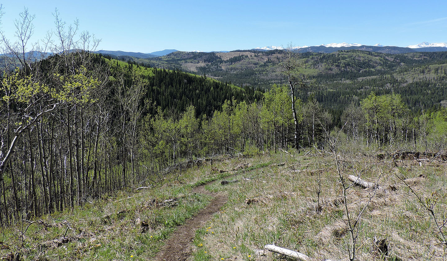
Mesa Butte appears ahead
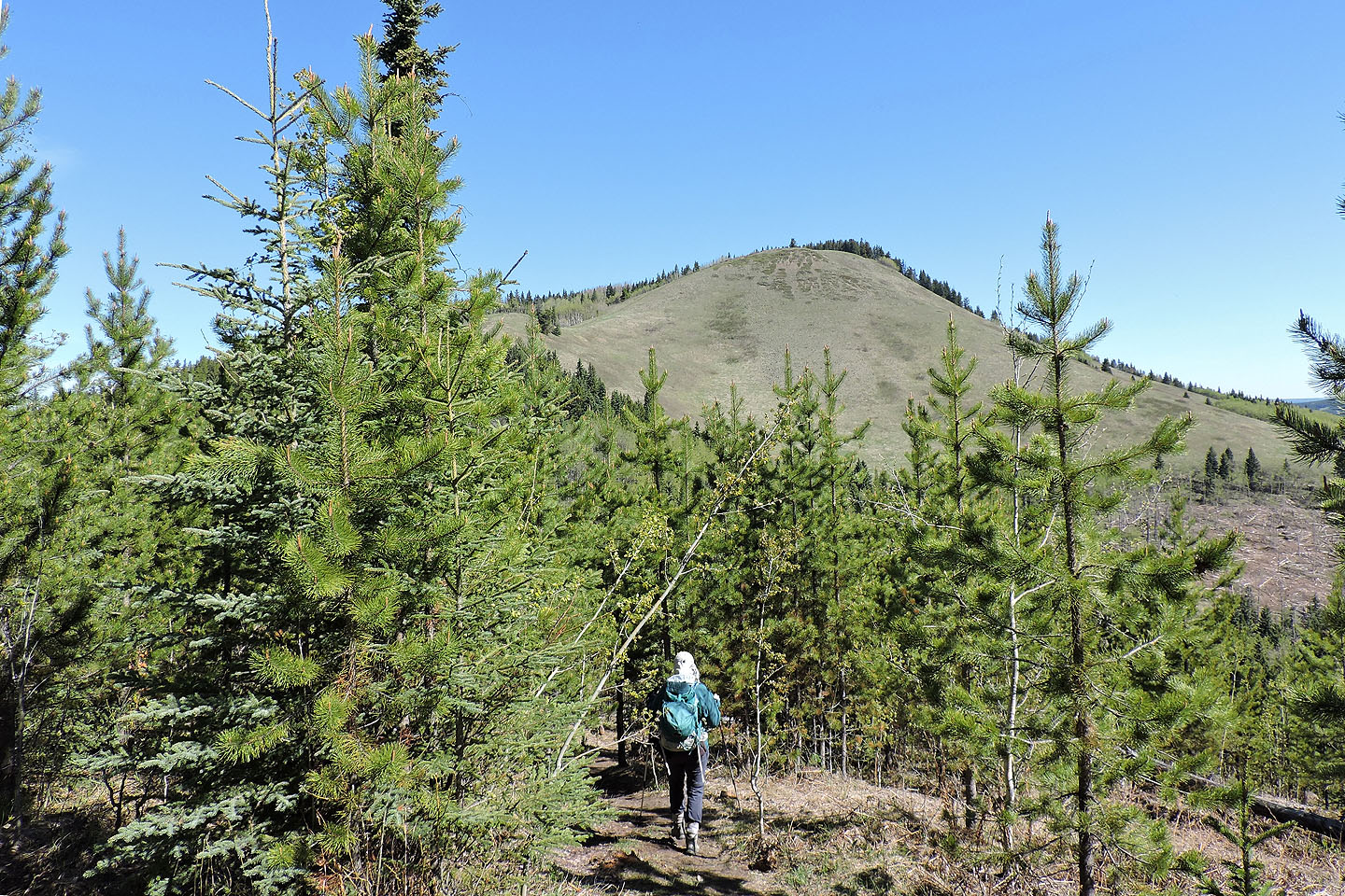
The trail drops down into the trees before climbing to the summit
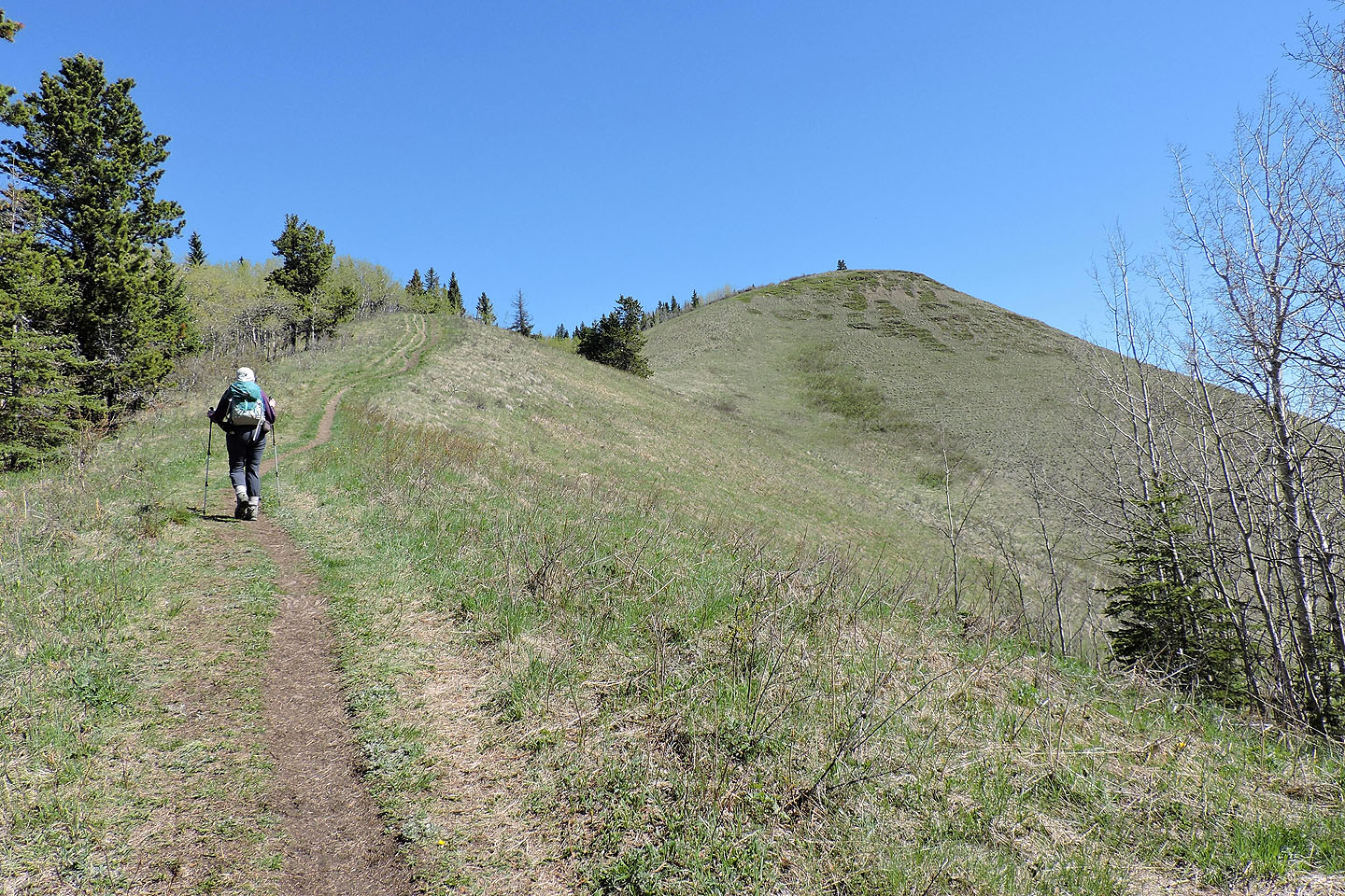
The last section to the top crosses meadows
Looking back as we neared the summit

On the spacious summit
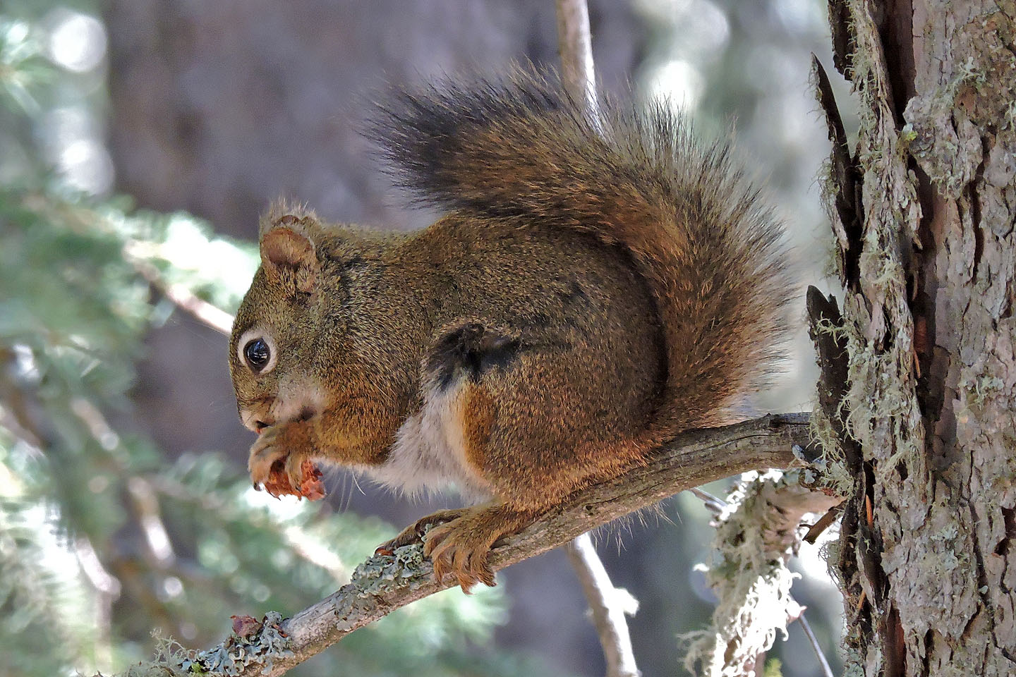
A squirrel nibbles on a pine cone
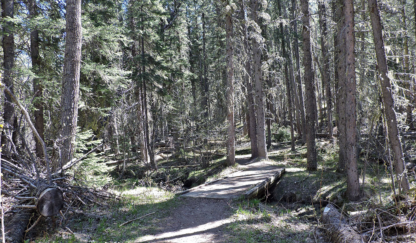
The trail to Curley Sand begins climbing after it crosses a footbridge
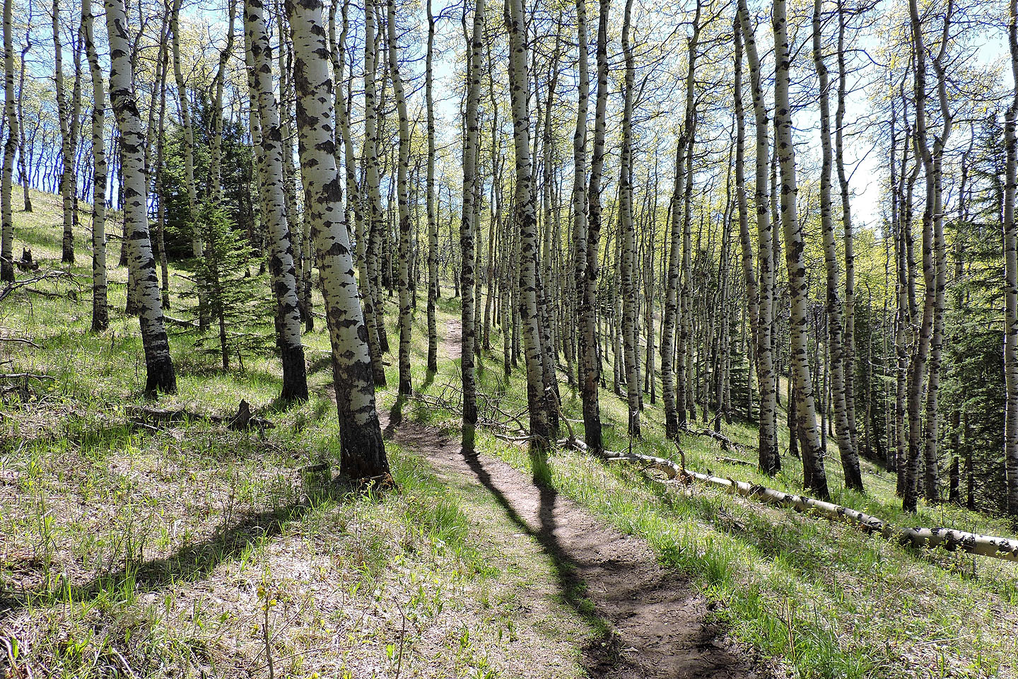
The trail winds through a stand of aspen
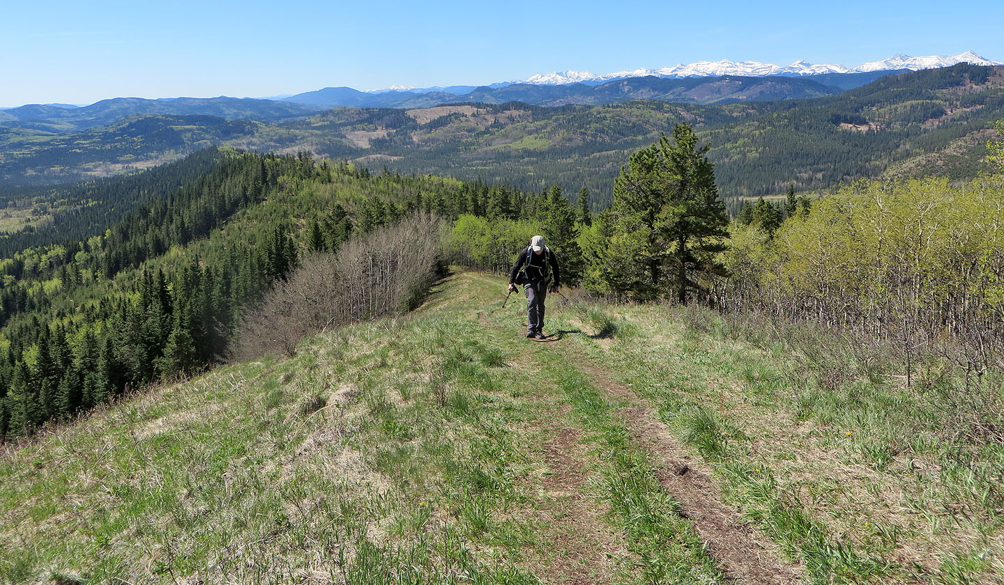
The view from Curley Sand Ridge is limited to the south
82 J/15 Bragg Creek