bobspirko.ca | Home | Canada Trips | US Trips | Hiking | Snowshoeing | MAP | About
Wind Ridge
Kananaskis, Alberta
June 30, 2012
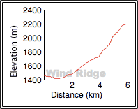
Distance: 12.0 km (7.5 mi)
Cumulative Elevation Gain: 835 m (2740 ft)
Since I was recovering from an injury, a half-day trip up Wind Ridge appeared to be my best option. I had been up Wind Ridge many years ago, long before I took to carrying a camera, but I still recalled there were several junctions along the way, any of which could set you off on the wrong path. Dinah and I carefully followed instructions from Ridgewalks in the Canadian Rockies only to find it in error. Fortunately we caught it right away and climbed the west ridge to the summit. We didn't, however, have the mountain to ourselves. Not only were there several groups traipsing up and down Wind Ridge, but there was also a resident marmot on top.
Despite its modest eminence, Wind Ridge provides ample scenery because of its open slopes. But we didn't linger because of pending bad weather; dark clouds were advancing. Soon after we started down, it began raining and continued to do so off and on throughout our descent, a descent interrupted only by a squawking spruce grouse. I stopped on the trail and watched in amazement as the bird raced around me, almost close enough for me to reach down and touch it. It circled me two and a half times before finally disappearing. While Dinah and I enjoyed Wind Ridge, for some reason it excited this bird.
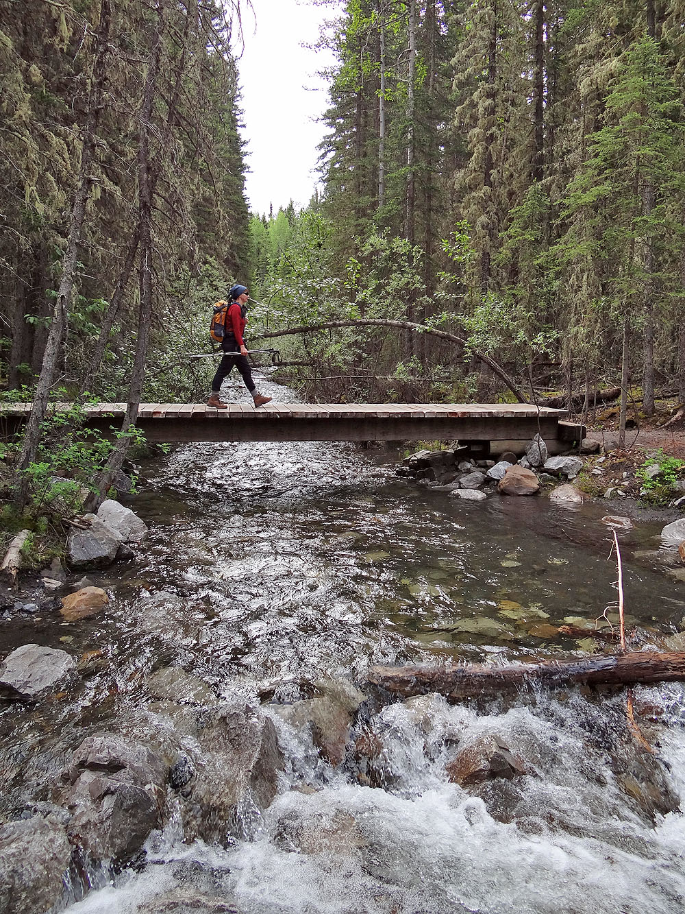
After losing 40 m from the trailhead, we crossed Pigeon Creek
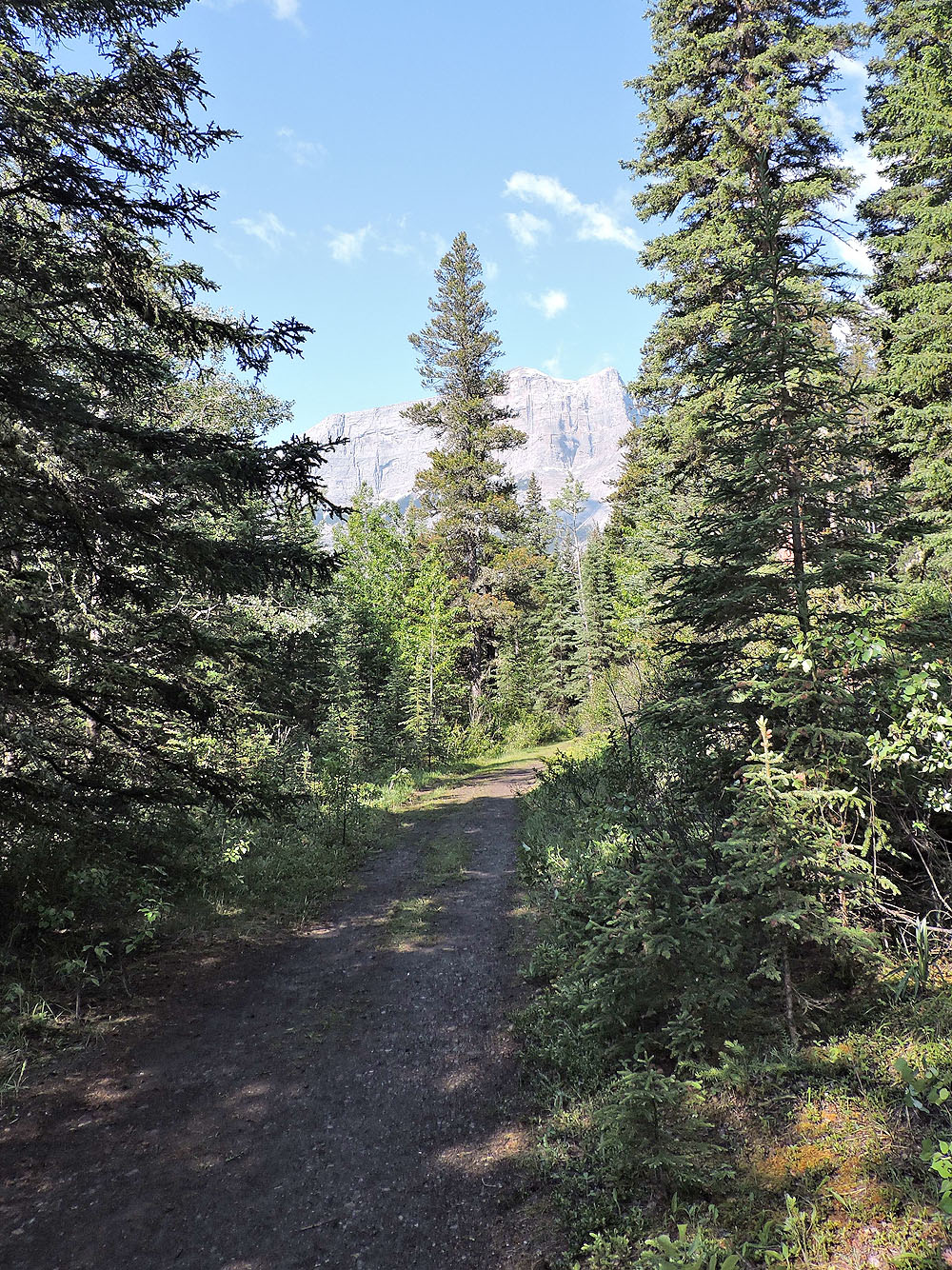
The trail began as a broad path
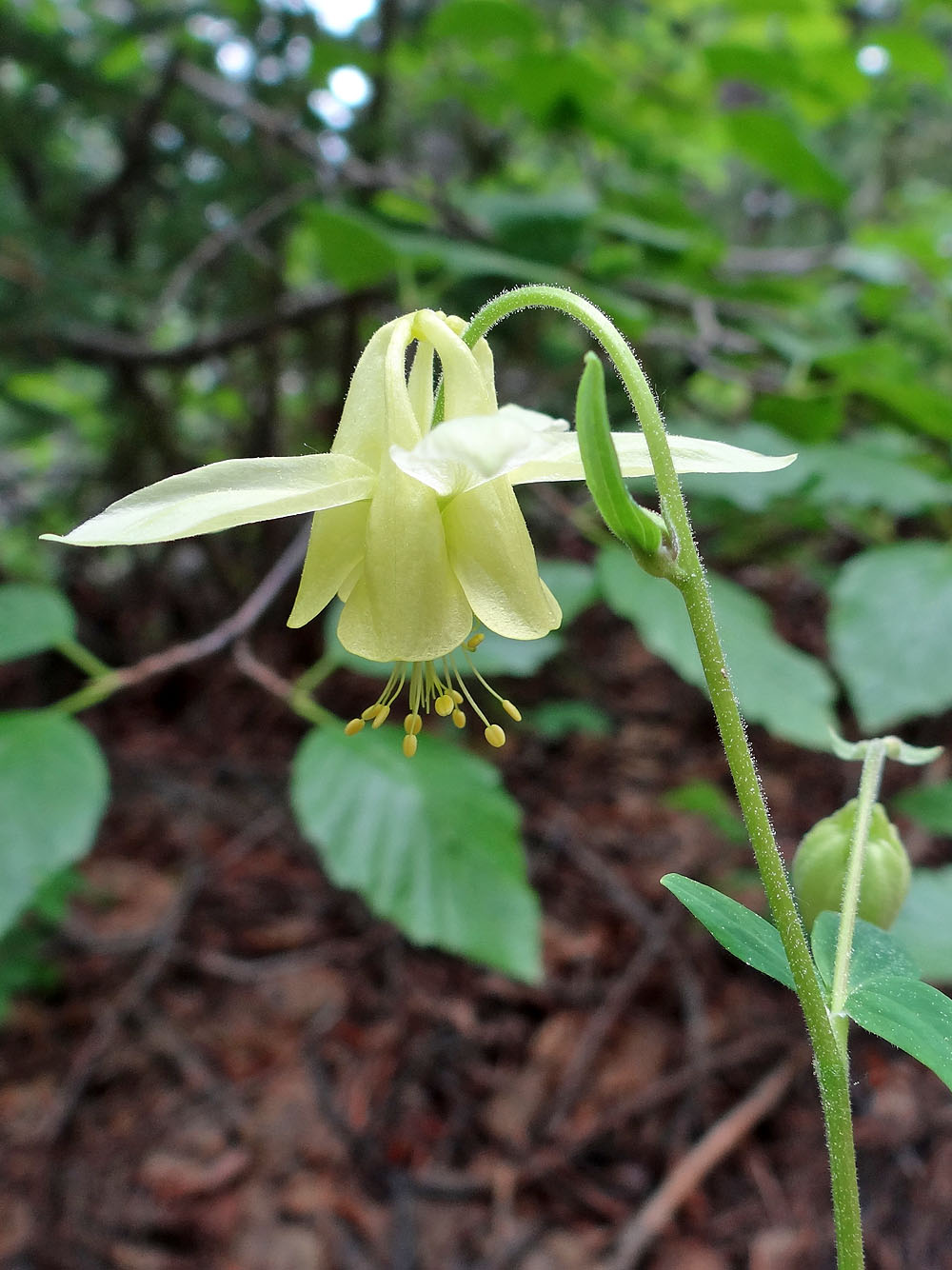
Yellow columbine
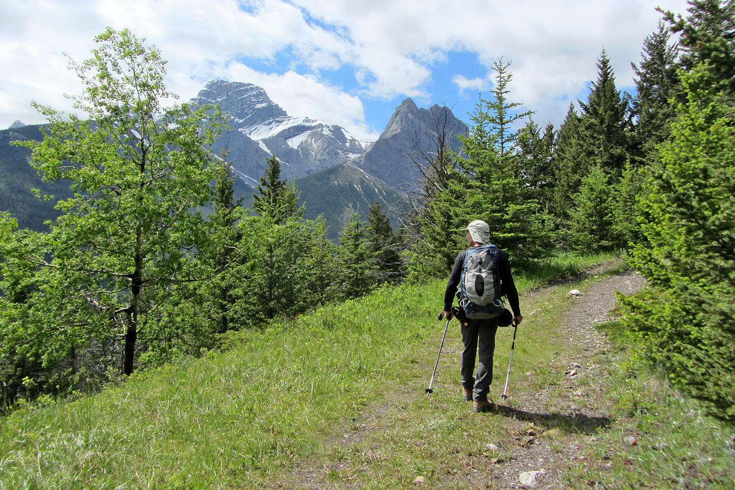
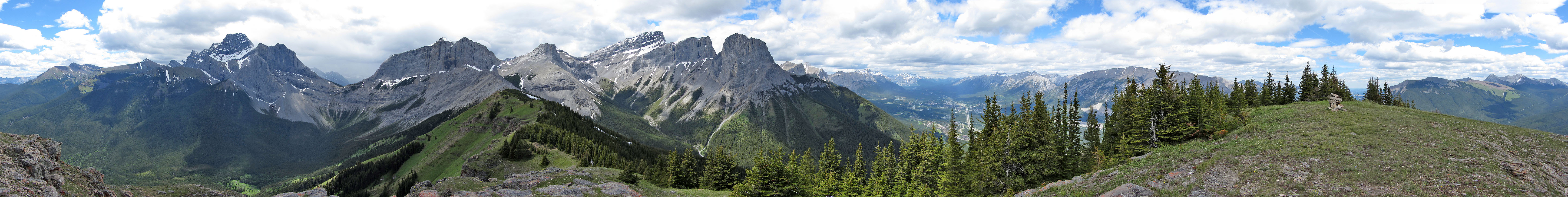
Mount Lougheed appears on our left
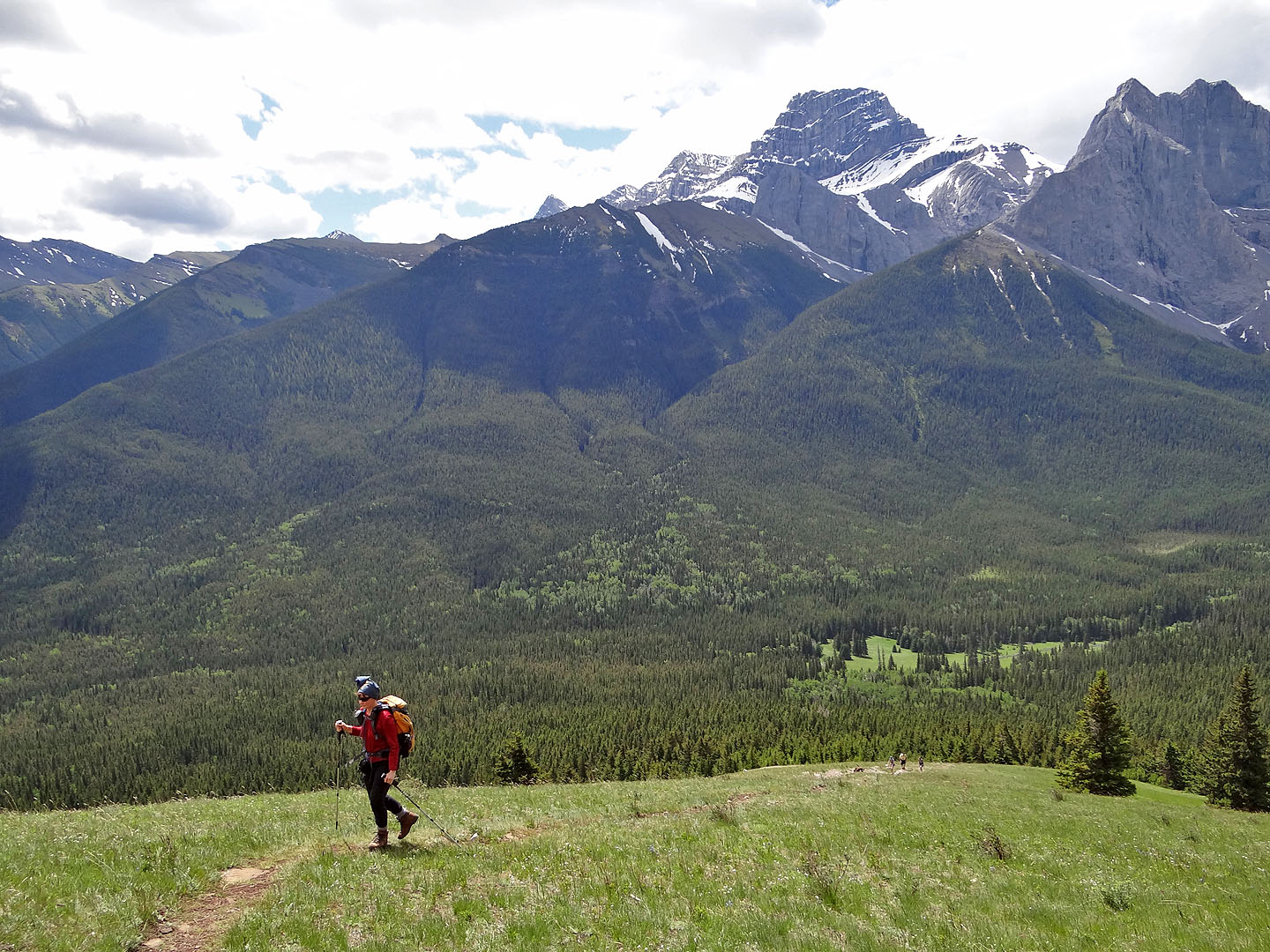
The summit ridge comes into view
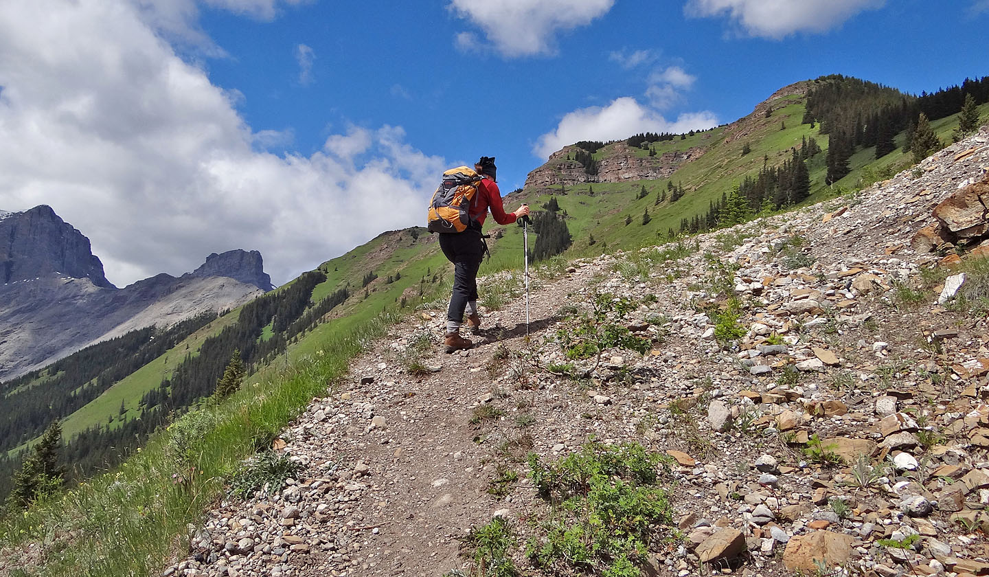
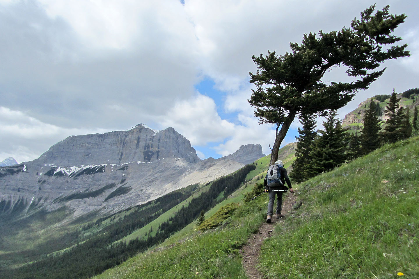
The sharp point above and right of Dinah is Wind Mountain. Right of it are three peak of Mt. Lougheed. Far right is Windtower.
The summit is still far off
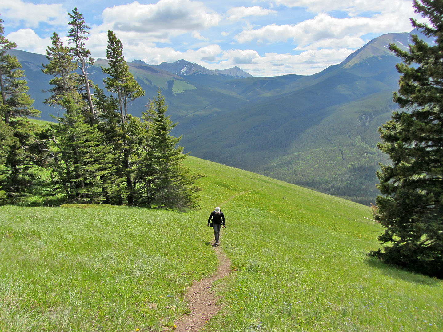
View southeast toward Skogan Pass
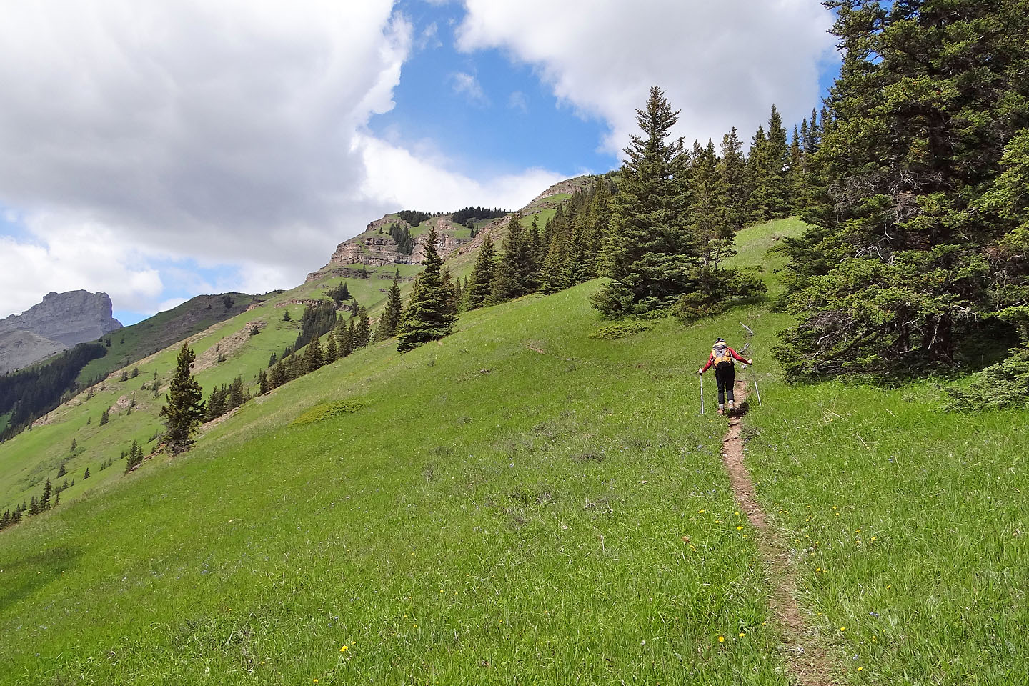
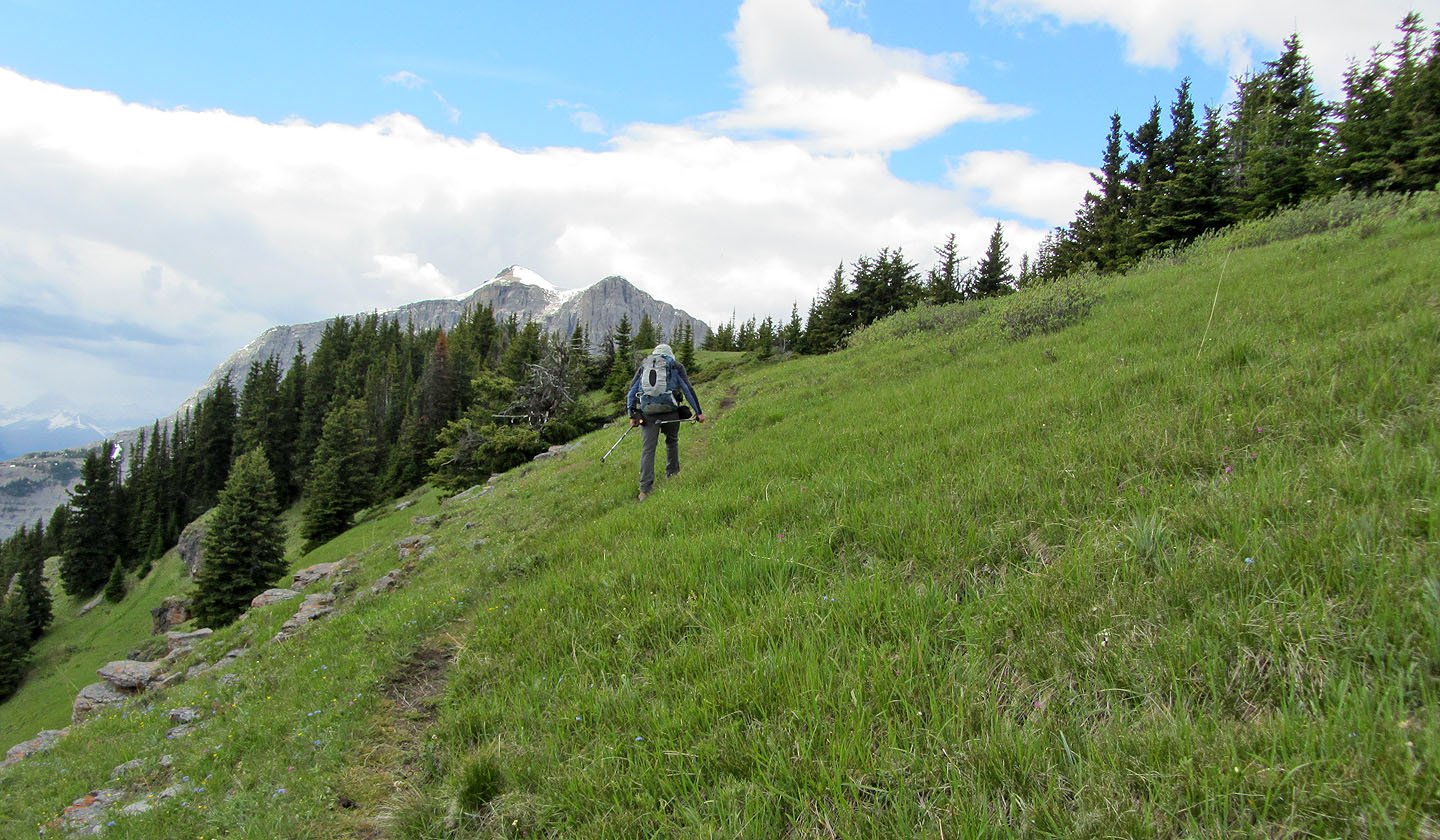
The trail winds along a spacious grass slope
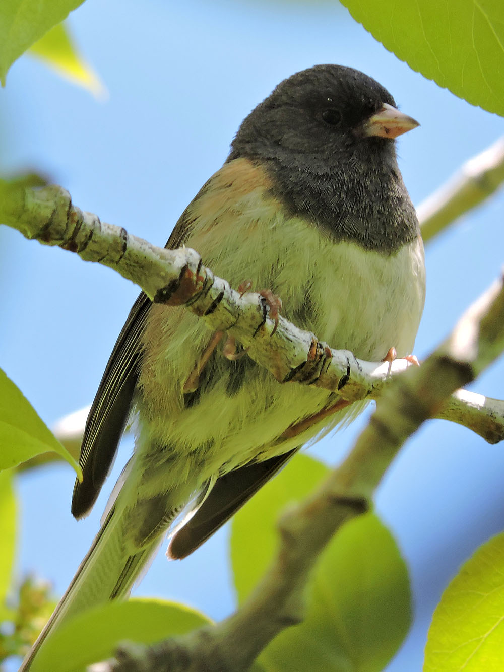
Dark eyed junco in an aspen tree
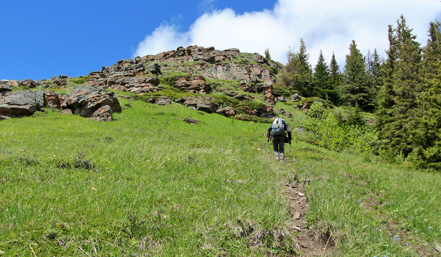
Heading to cliff band
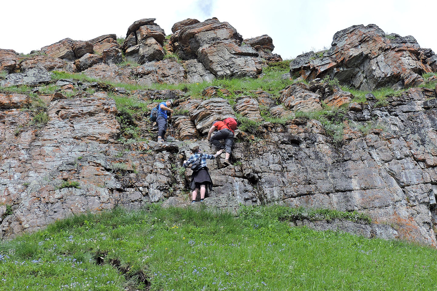
The cliff band can be scrambled up or avoided by going right where a trail climbs steeply
through the trees
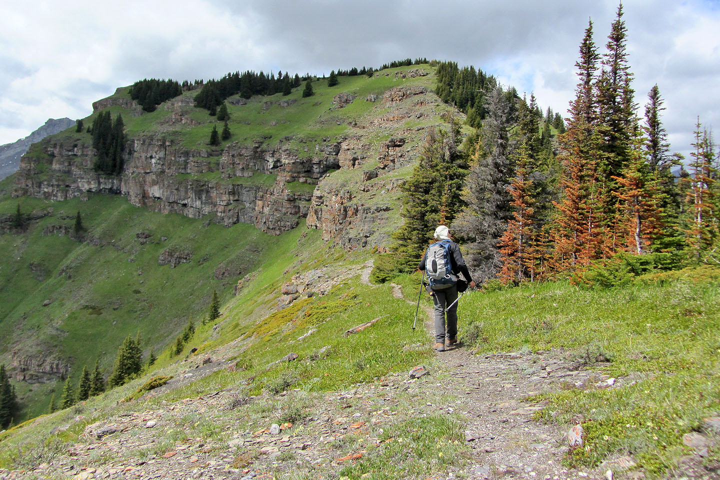
The summit is far left
Looking back. Pigeon Mountain on the left.
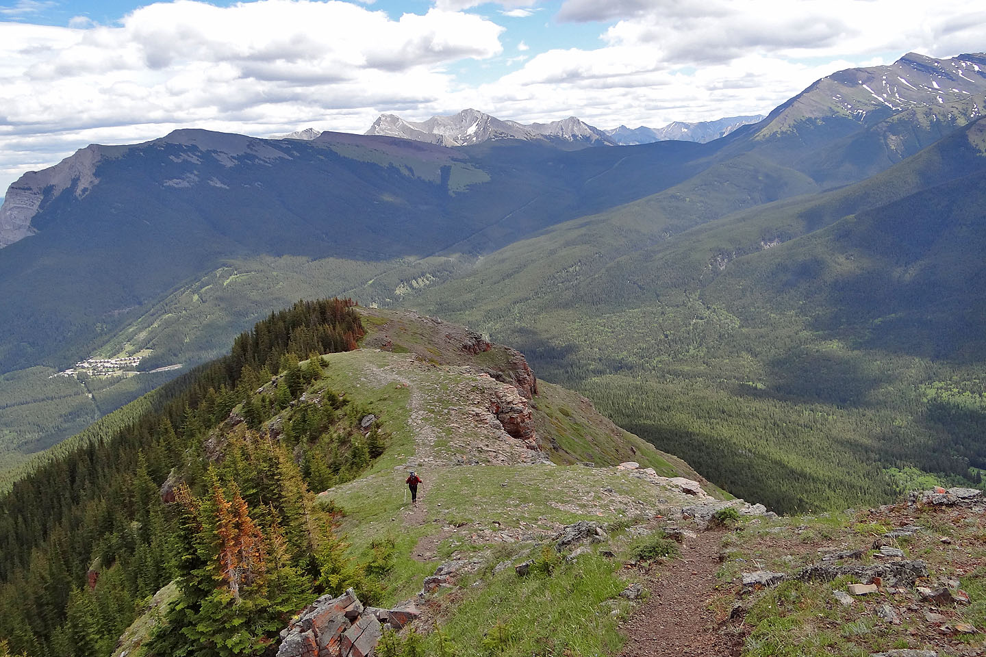
Easy traverse to the summit
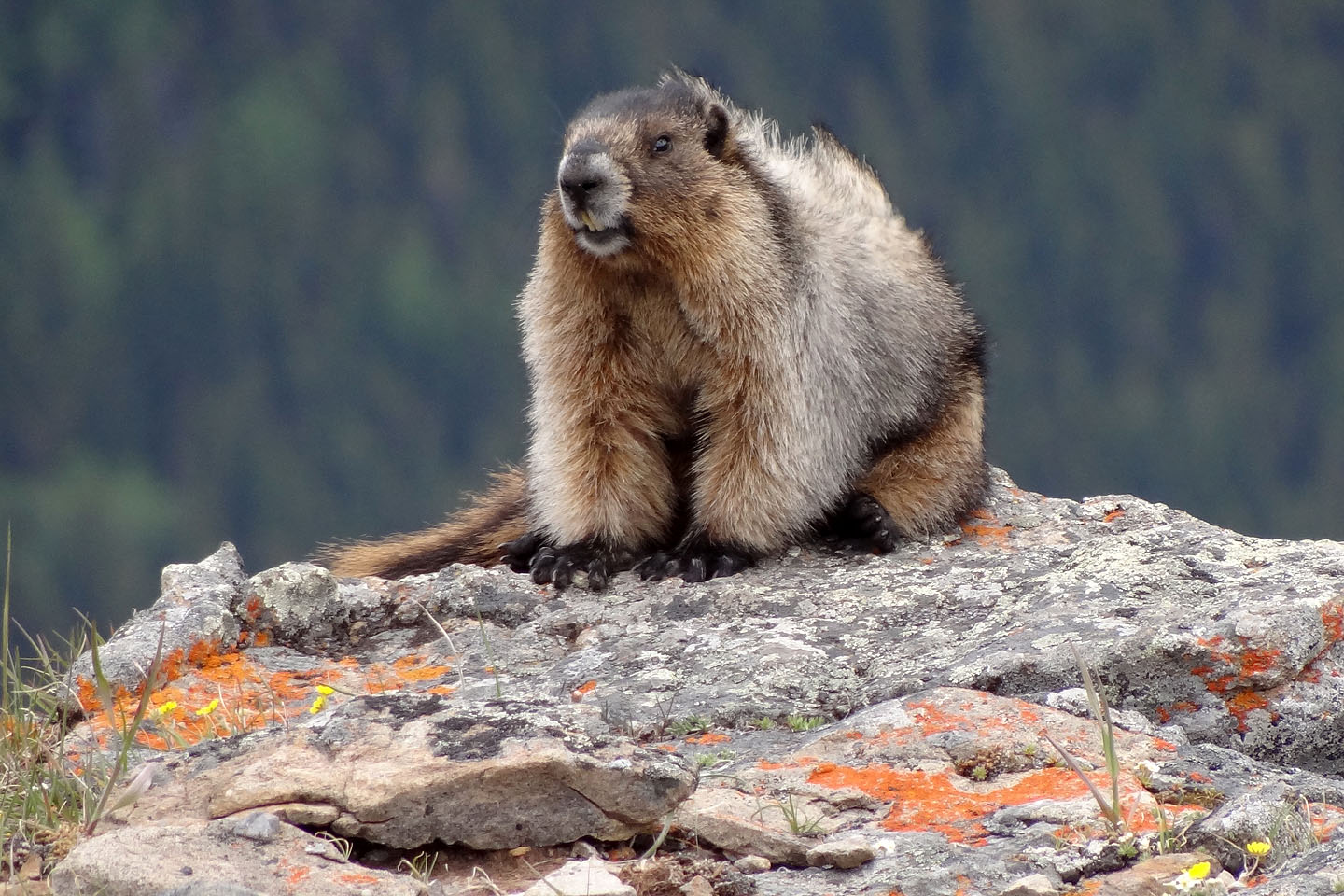
Summit marmot
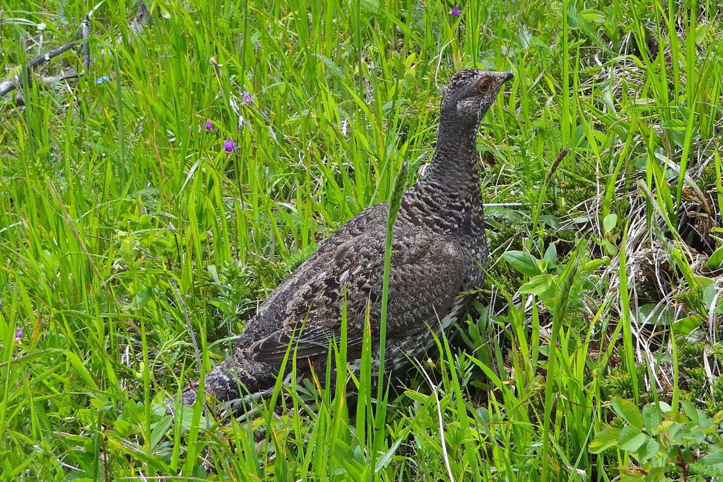
For some reason, this grouse ran around me two and half times before disappearing
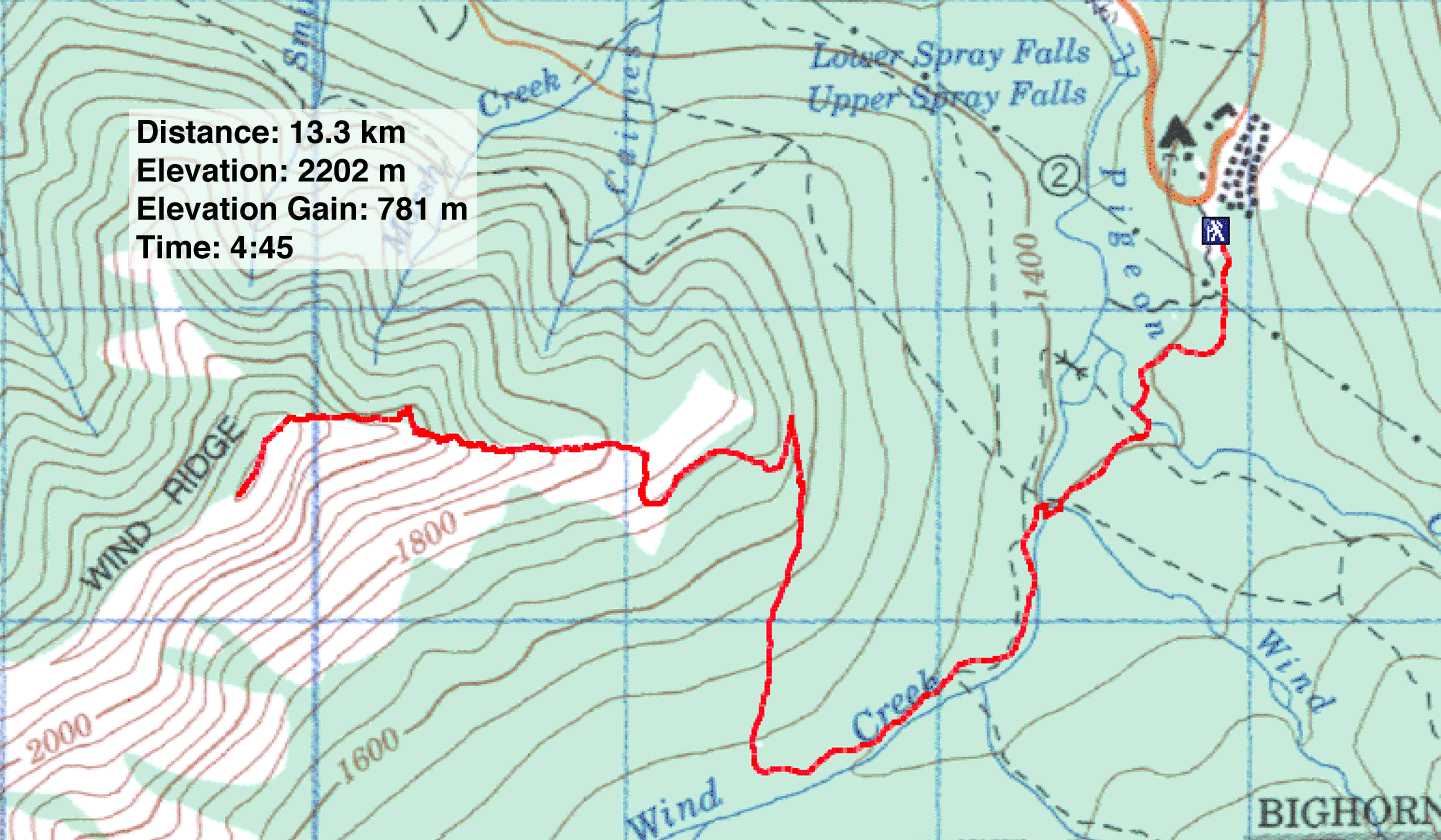
82 O/3 Canmore